1st November 2014 - Combs Edge
Walk Details
Distance walked: 7.0 miles
Total ascent: 1285 ft
OS map used: OL24 - The Peak District, White Peak area
Time taken: 5 hrs
Route description: Combs-Dyke Lane-Rye Flatt Farm-Allstone Lee Farm-Combshead Farm-Midshires Way-unnamed promontory-Combs Edge-Allstone Lee Tor-Castle Naze-Dyke Lane-Bank Hall Farm-Combs
I'd wanted to do this walk for the past couple of weekends but due to the inclement weather I postponed it. I thought the forecast for today was good enough so I went for it and I'm glad I did. It started out sunny and stayed that way until I was on Combs Edge when it clouded over for a couple of hours, but it brightened up again so I could enjoy the view from Castle Naze. It was windy up on the edge, especially as the afternoon wore on with it rushing up the escarpment. A thoroughly enjoyable walk and one I'd definitely do again.
I left the village of Combs by Dyke Lane and walked up it to Rye Flatt Farm. I went through the farmyard and onto the access track to Allstone Lee Farm. At Allstone Lee Farm the track ends so I took the footpath that heads across the fields to reach Combshead Farm. The path goes past the buildings and then uphill on the edge of access land to reach the bridleway of Midshires Way. I stayed on the bridleway for a few hundred yards until I reached a gate on the left where I could use a quadbike track to head up onto the moorland of Combs Moss. The next part of the route is easy, just follow the wall and path along Combs Edge to reach Castle Naze. From Castle Naze I descended to Dyke Lane and took the footpath through Bank Hall Farm. I then followed a footpath across the fields back to Combs.
Route map
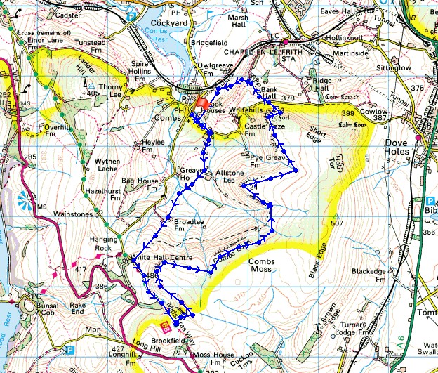
© Crown copyright. All rights reserved. License number PU 100034184.
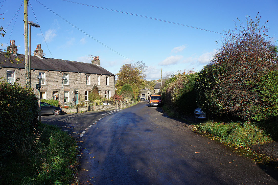
It's a sunny morning as I set off from the village of Combs
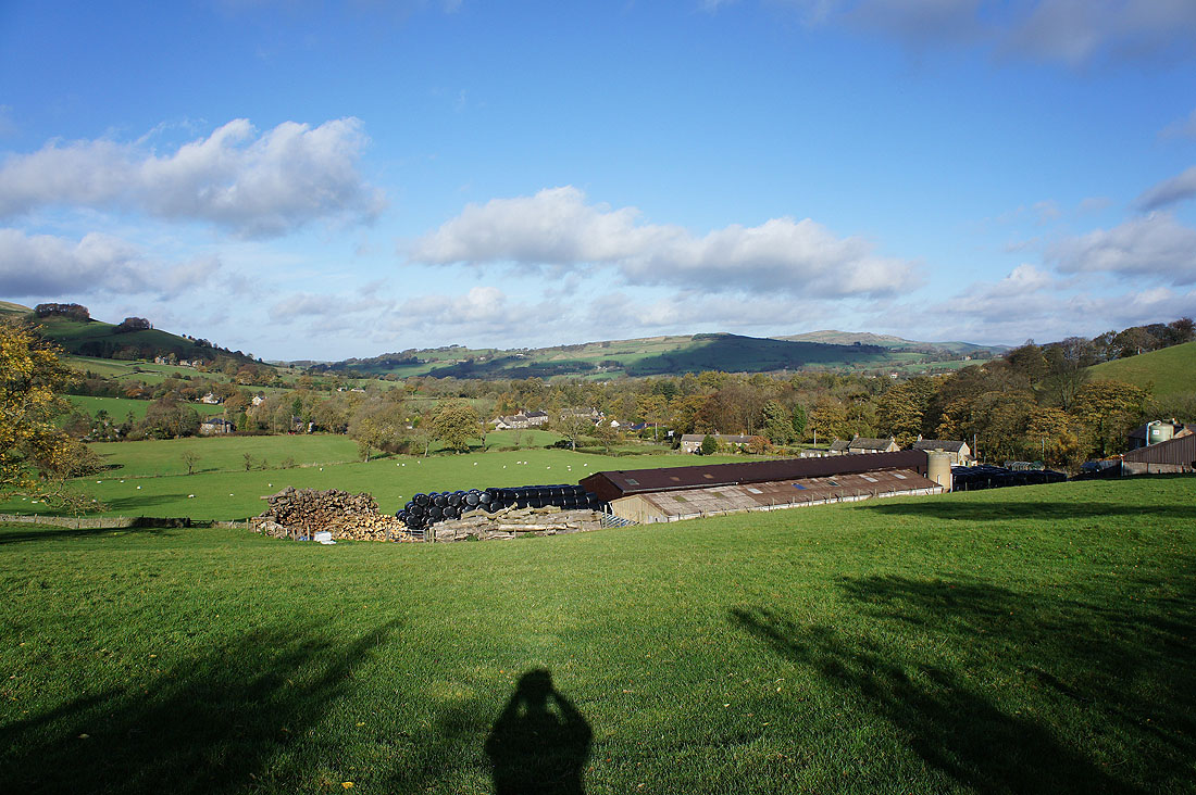
and Combs below as I take the access lane to Allstone Lee Farm
The promontory of Castle Naze. The last stop on the walk.
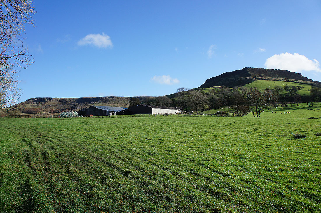
Allstone Lee Farm below Combs Edge and Allstone Lee Tor
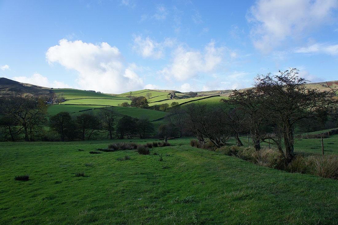
The route takes me across the fields to the skyline
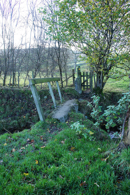
Including going across this stone footbridge
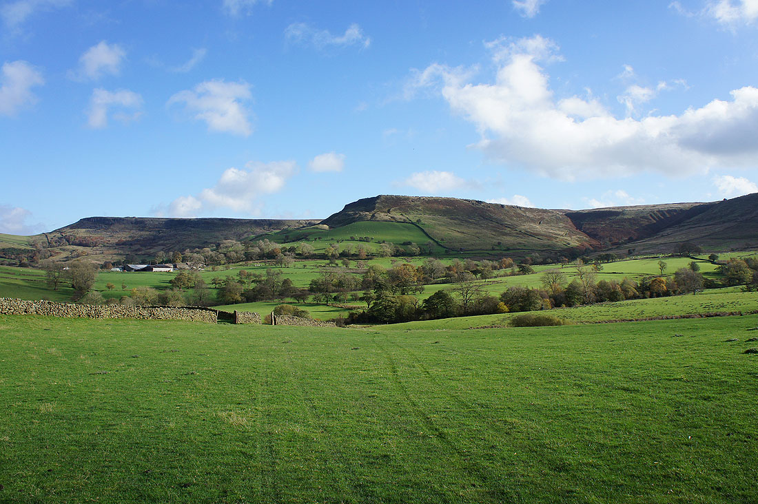
Turning around to see the fantastic view of Combs Edge
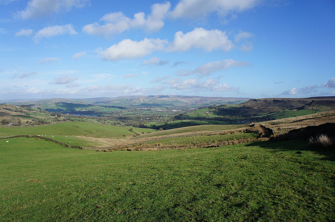
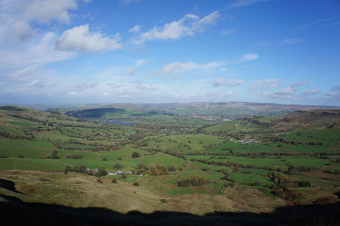
Finally made it to the bridleway of the Midshires Way. I can look down the Combs valley to Chapel-en-le-Frith and beyond to the Kinder Scout plateau.
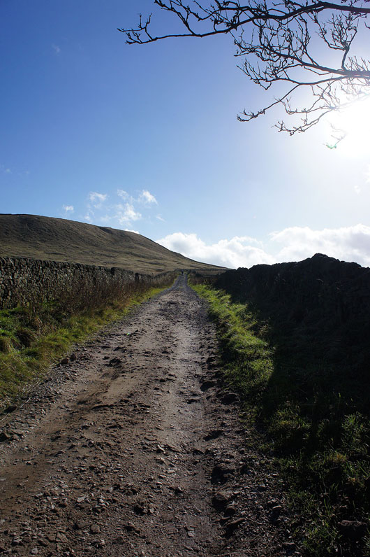
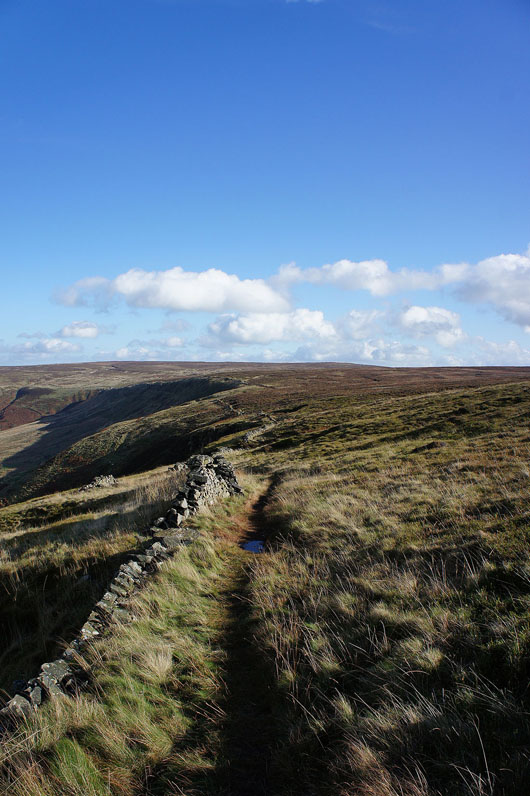
I won't be on the bridleway for too long. In a few hundred yards a gate on the left will give access to the moorland of Combs Moss.
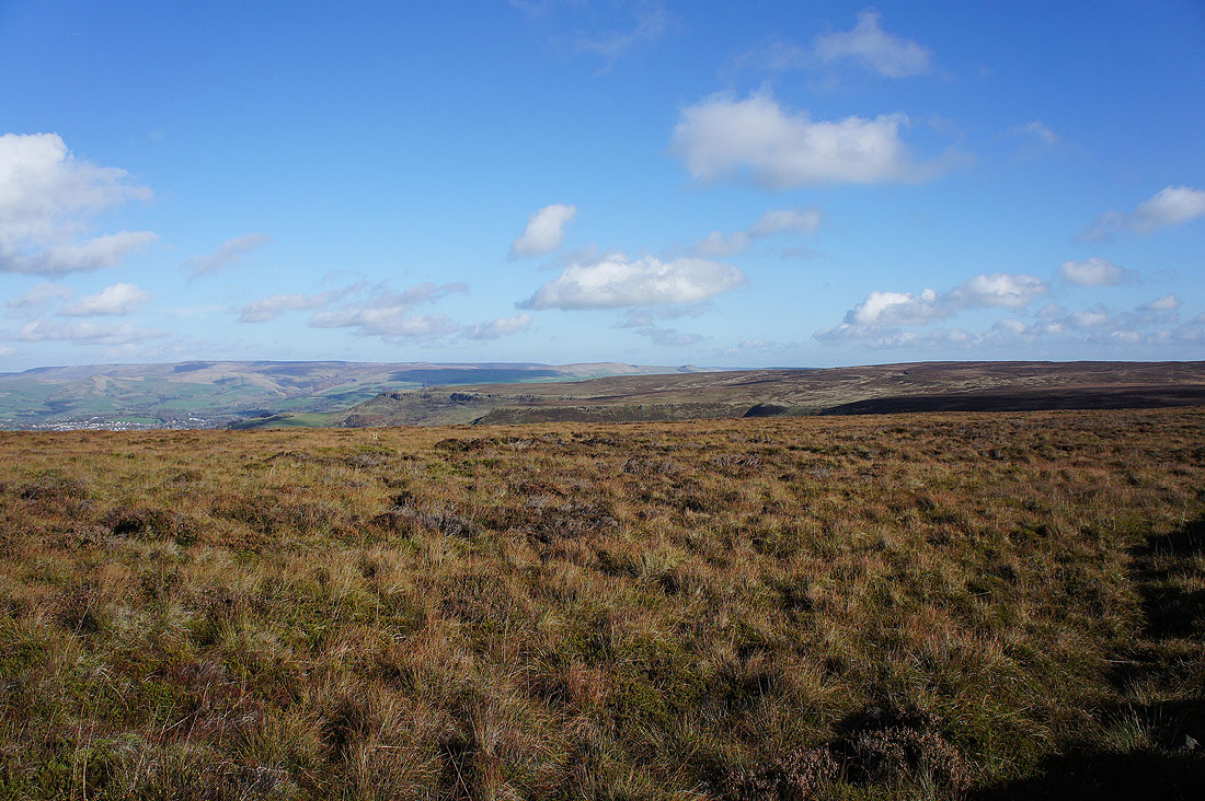
The broad, heathery moorland of Combs Moss. The high point and trig point on Black Edge is up on the right. I'll have to pay it a visit at some point. The best bit of the walk along Combs Edge lies ahead. Time to head for the first promontory.
Enjoying the view from it. Looking across the Goyt Valley to Shining Tor and Cats Tor.

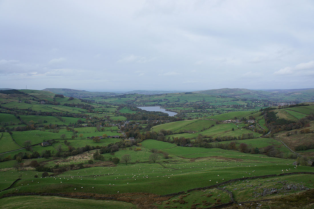
Ladder Hill and Combs Reservoir
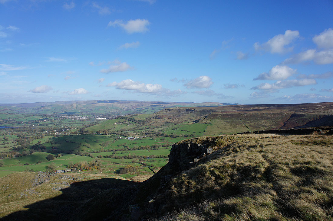
and looking across Combs Edge to Kinder Scout
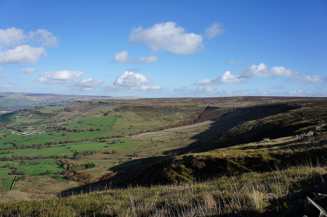
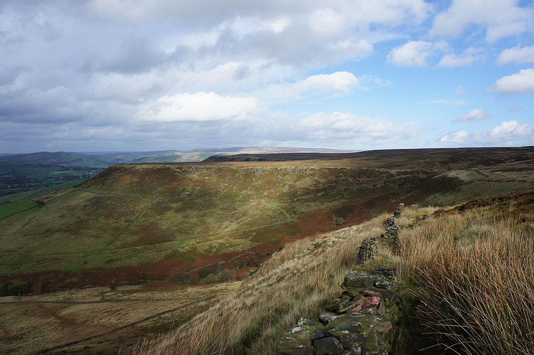
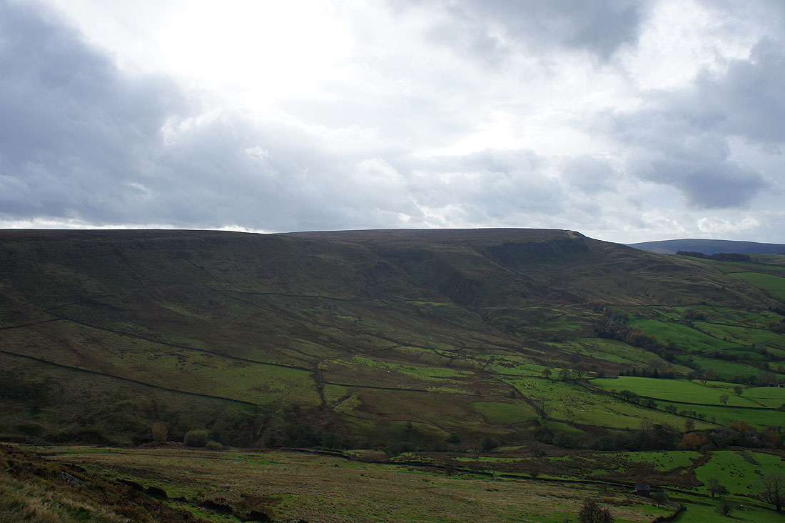
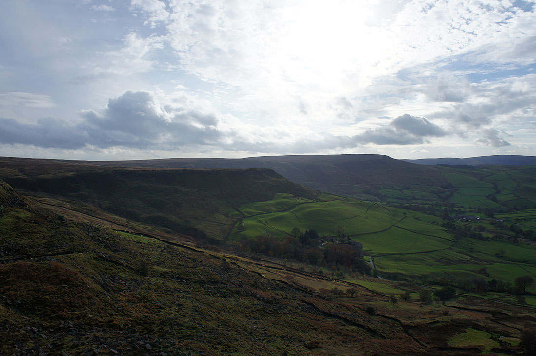
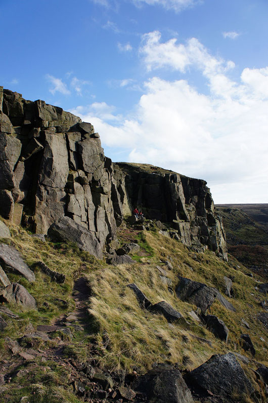
A great view of Combs Edge as I start to follow the edge top path
The Combs valley, Combs Reservoir, Chinley Churn, Chapel-en-le-Frith and Kinder Scout
A clear path follows the wall along the edge
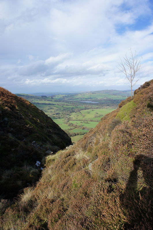
One of the steep sided cloughs that drain Combs Moss interrupts the level path
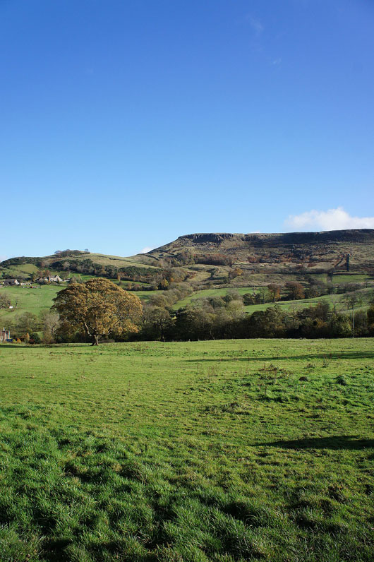
Approaching Allstone Lee Tor with Castle Naze just visible behind. Unfortunately it looks like I'm going to lose the sunshine.
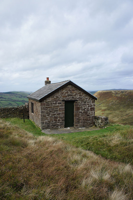
Passing one of a couple of shooters huts
A burst of sunshine lights up Allstone Lee Tor
On Allstone Lee Tor and it's a convenient place to stop and have a bite to eat. The wall provides some welcome shelter from the wind. Looking back along the edge to the first promontory I visited.
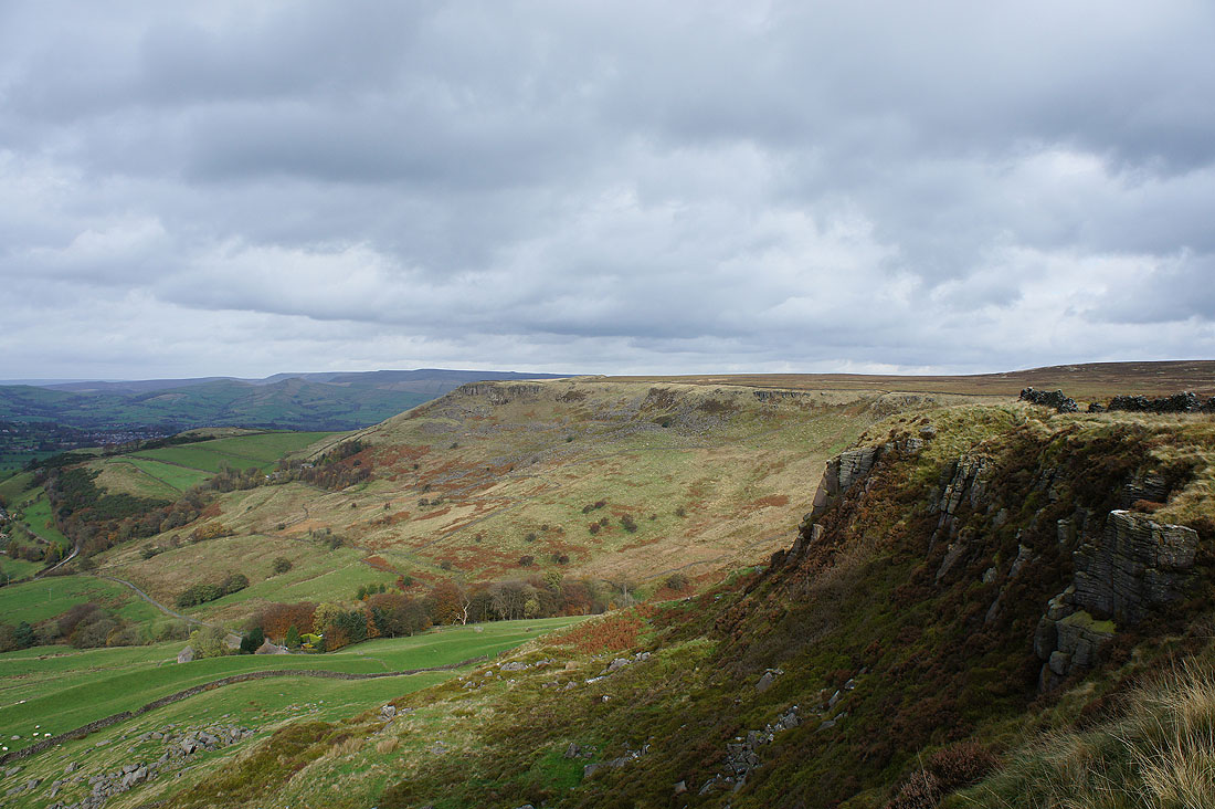
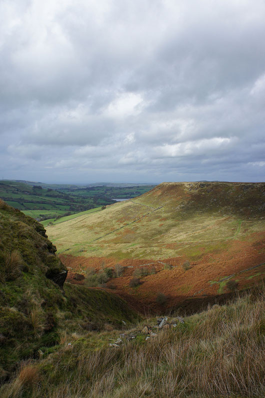
Castle Naze still to come
Combs and Combs Reservoir
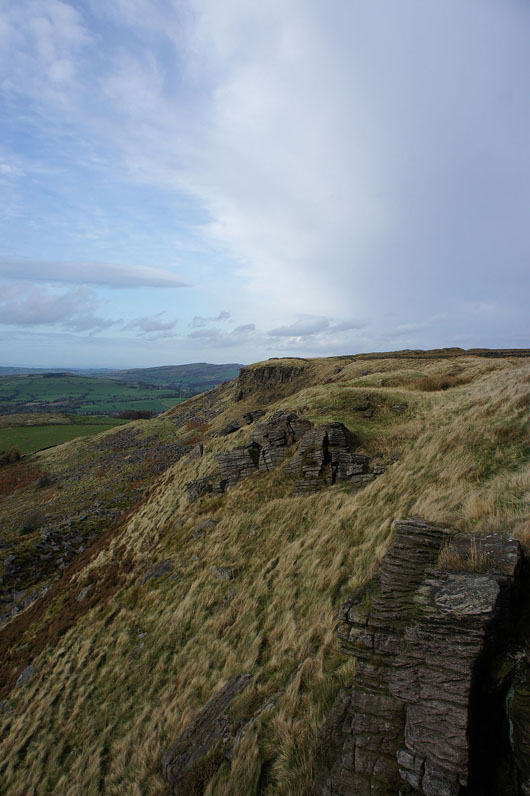
Low gritstone crags as I approach Castle Naze. It looks like it's brightening up, which is a bonus.
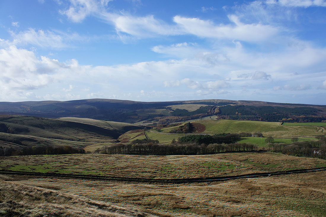
There's a great view from Castle Naze and since I had a bit of time to spare and the weather was continuing to improve I hung around to get the best conditions. It was worth it. Looking back along Combs Edge to Allstone Lee Tor and beyond.
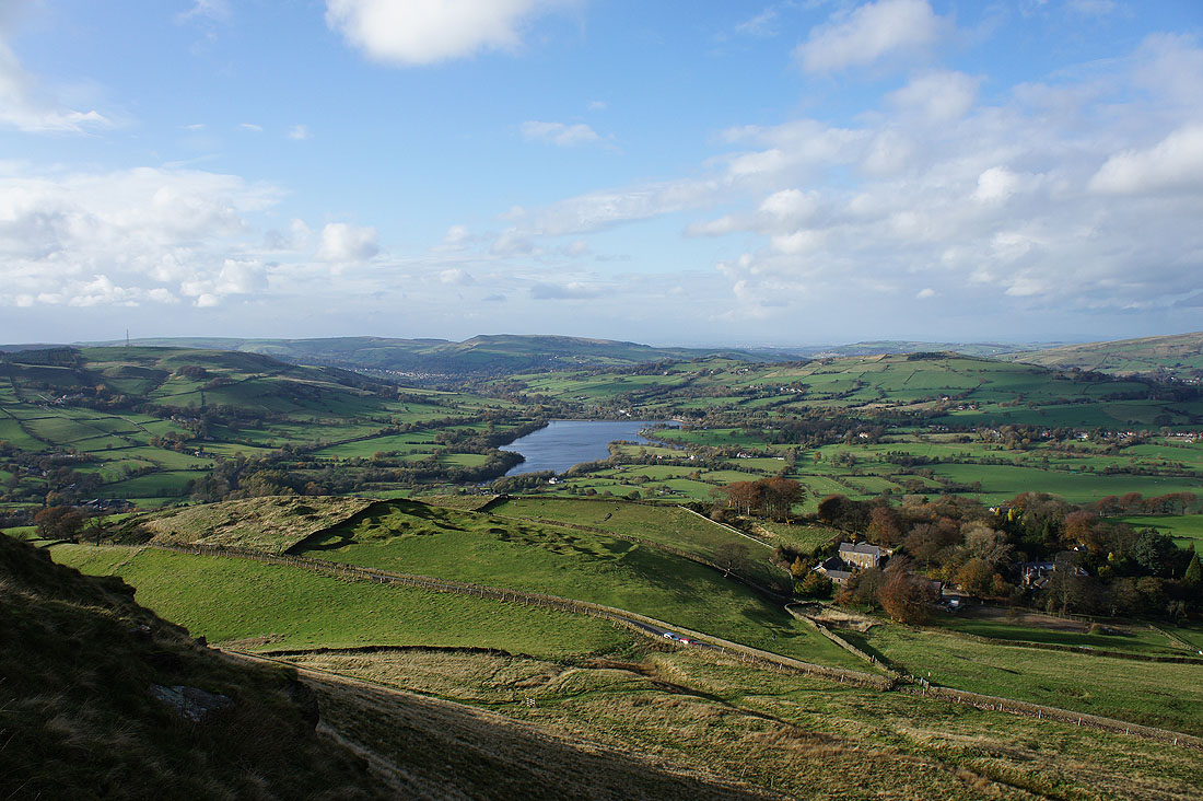
Combs Reservoir with Ladder Hill to its left, Whaley Moor behind and Eccles Pike to the right
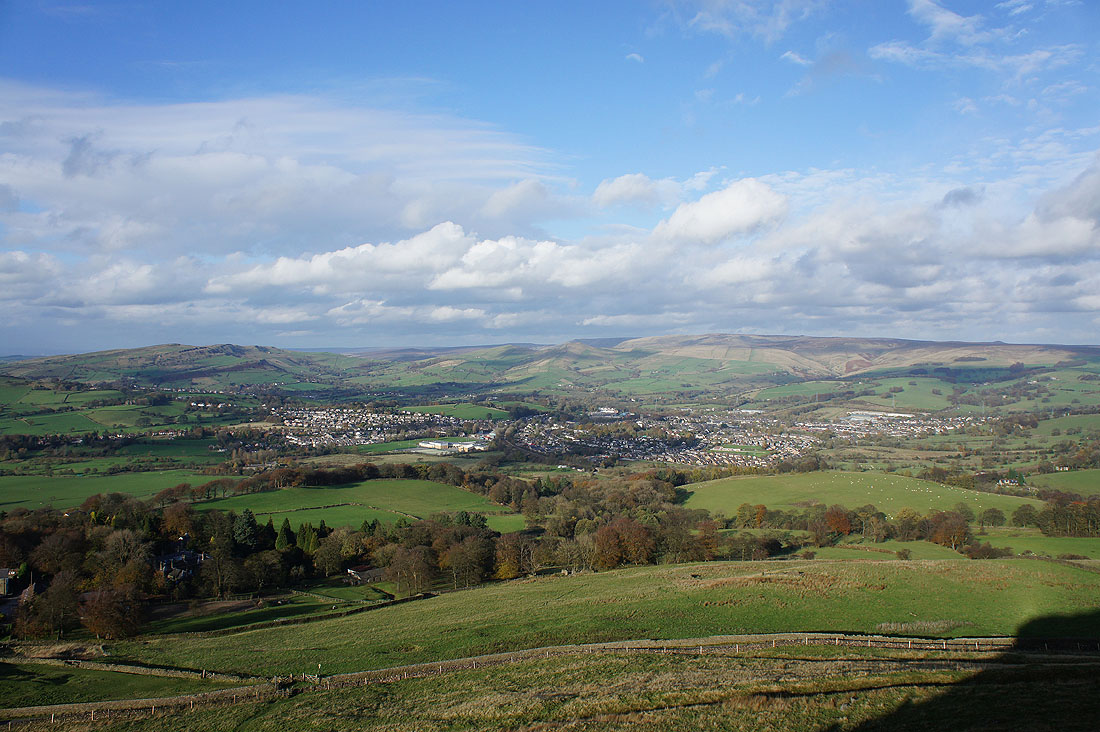
Chinley Churn, Chapel-en-le-Frith and Kinder Scout
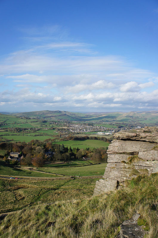
and again in portrait with a bit of rock in the foreground
Climbers take a break beneath the crags on Castle Naze
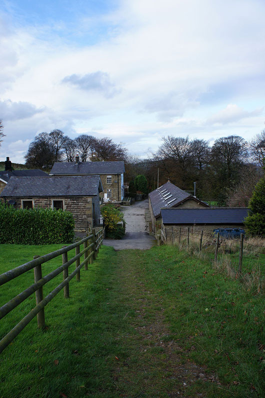
After descending to the road below Castle Naze I'll go through Bank Hall Farm and pick up a field path back to Combs
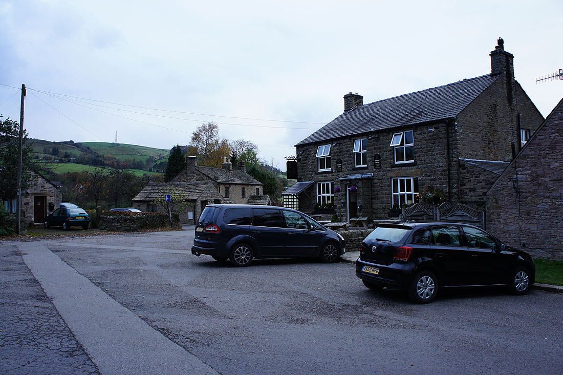
and back in Combs