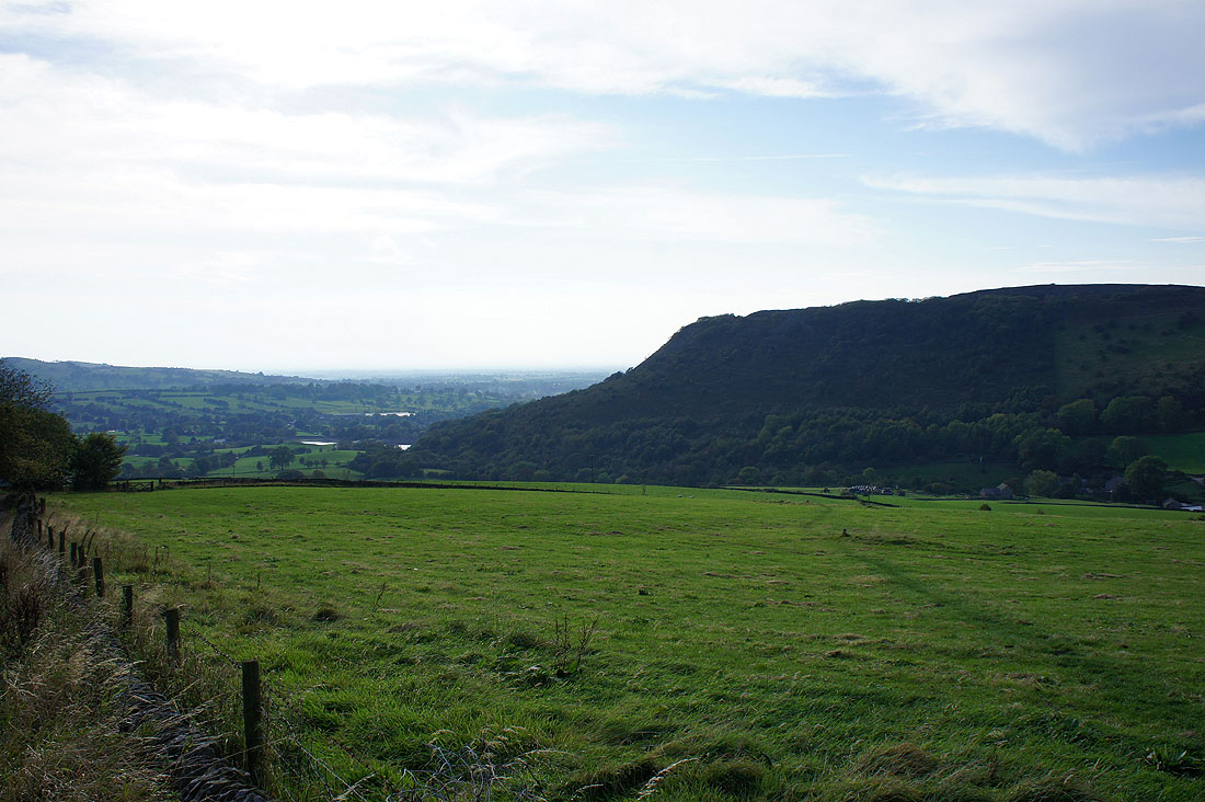
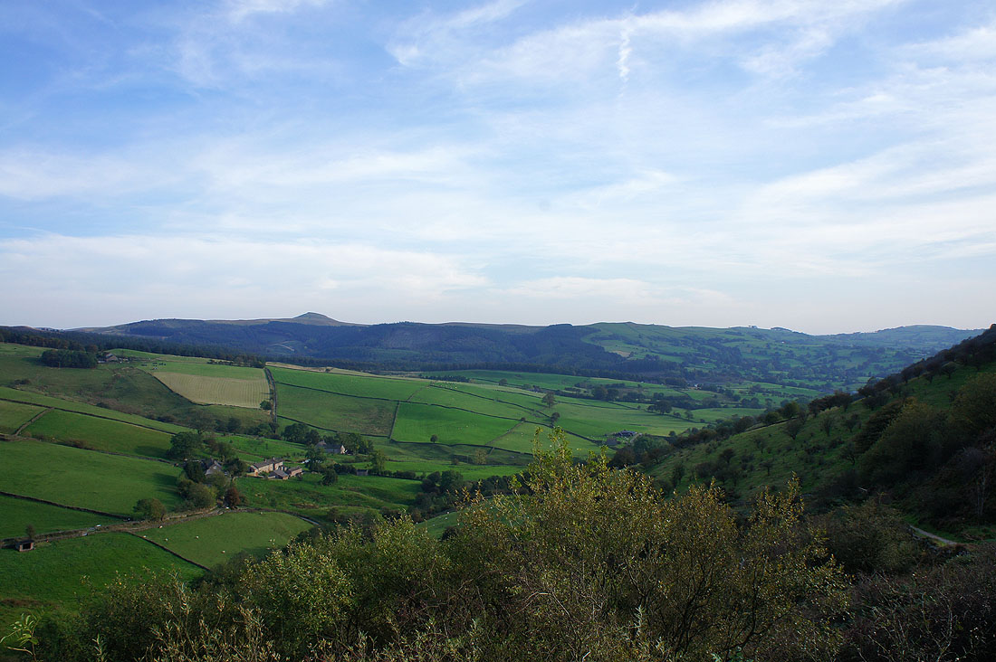
1st October 2011 - Shutlingsloe
Walk Details
Distance walked: 13.0 miles
Total ascent: 3040 ft
OS map used: OL24 - Peak District, White Peak Area
Time taken: 7 hrs
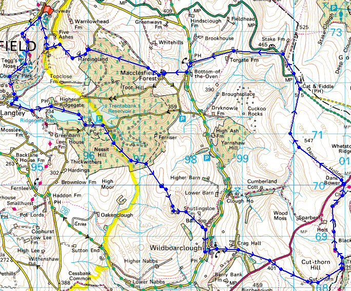
Route description: Tegg's Nose Country Park-Tegg's Nose-Teggsnose Reservoir-Bottoms Reservoir-Clarke Lane-Ridgegate Reservoir-Macclesfield Forest-Shutlingsloe-Wildboarclough-A54-Three Shire Heads-A54-Cat & Fiddle-Macclesfield Forest-Hacked Way Lane-Clough House-Tegg's Nose Country Park
A walk up Shutlingsloe and through the countryside around Macclesfield Forest. After parking at the Tegg's Nose Country Park car park I made my way to the viewpoint of Tegg's Nose. From there I made my way downhill past Teggsnose and Bottoms Reservoirs and then along minor roads into Macclesfield Forest before following a footpath up to the summit of Shutlingsloe. From the summit I then made my way downhill into the hamlet of Wildboarclough and then using footpaths and bridleways to Three Shire Heads. I was then on the Dane Valley Way for a short stretch until I crossed the A54 and used a bridleway to reach the Cat & Fiddle. I then made my way back to Tegg's Nose Country Park through the countryside surrounding Macclesfield Forest.
Route map
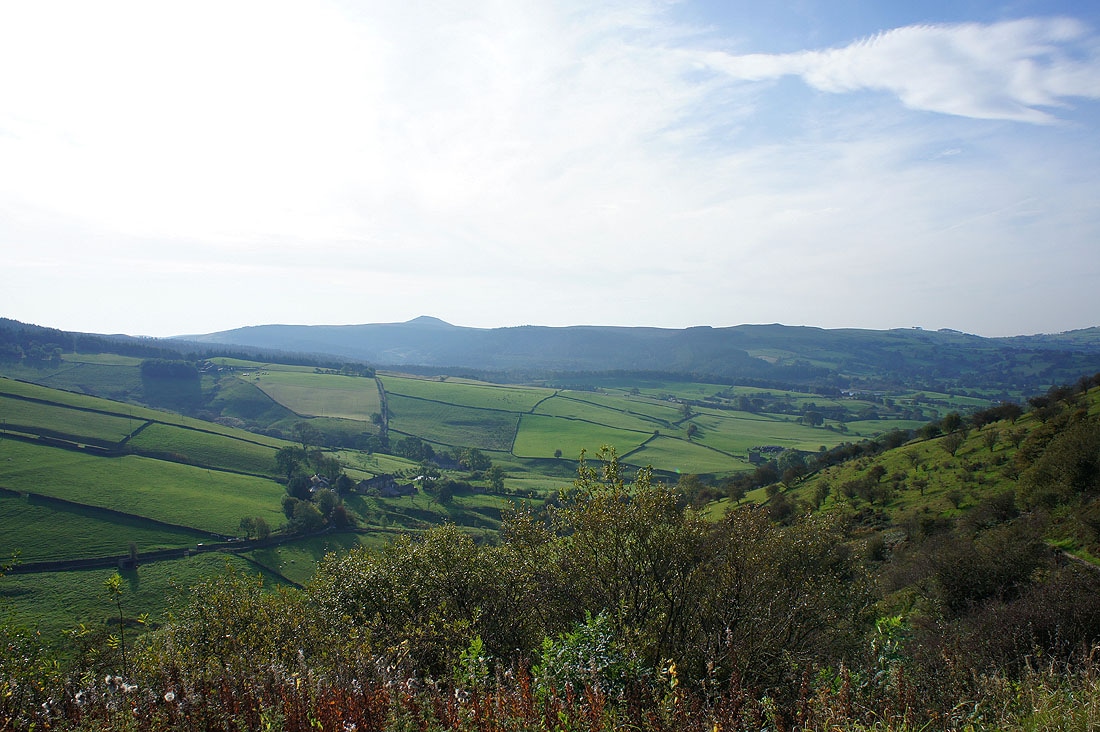
Shutlingsloe from the car park at Tegg's Nose Country Park
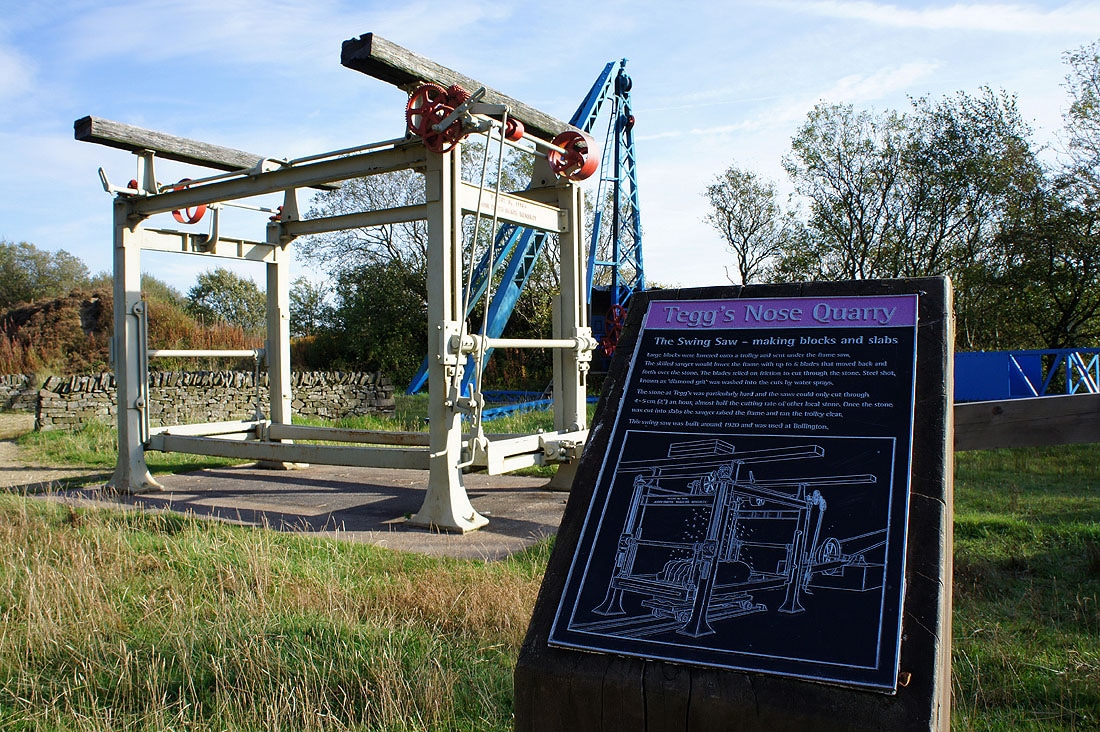
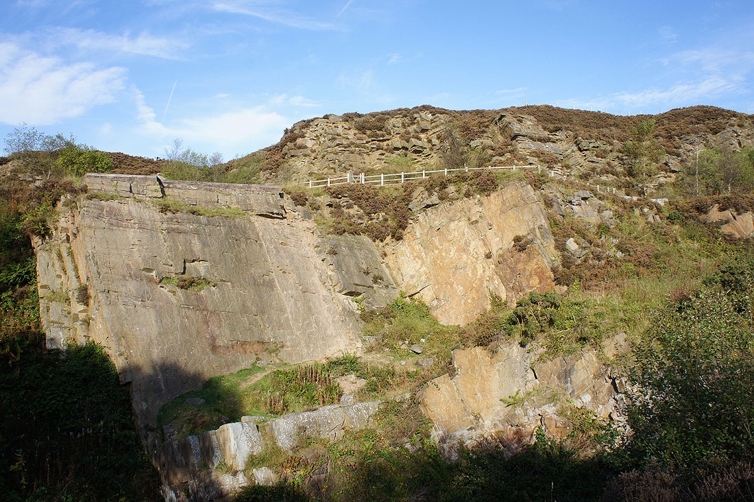
Walking through Tegg's Nose Quarry..
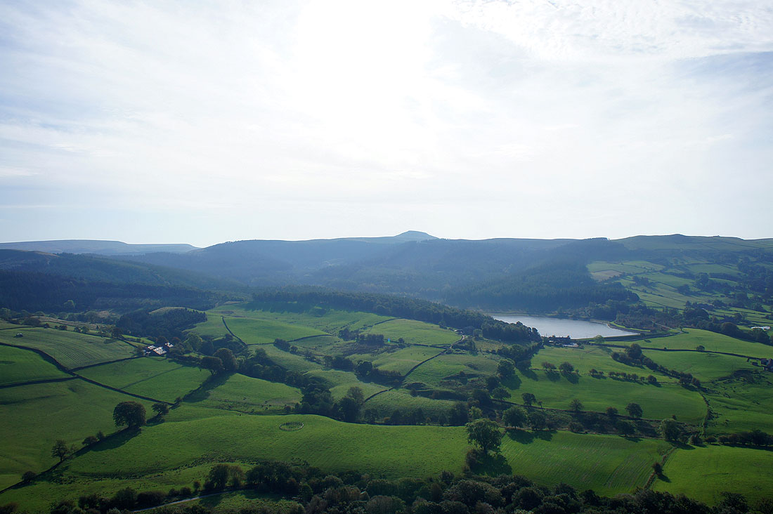
Shutlingsloe and Ridgegate Reservoir from Tegg's Nose
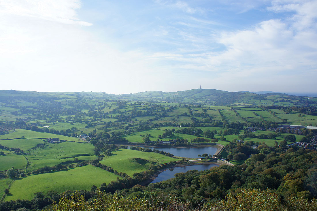
Teggsnose and Bottoms Reservoirs below and the view across to Croker Hill (with the radio mast)
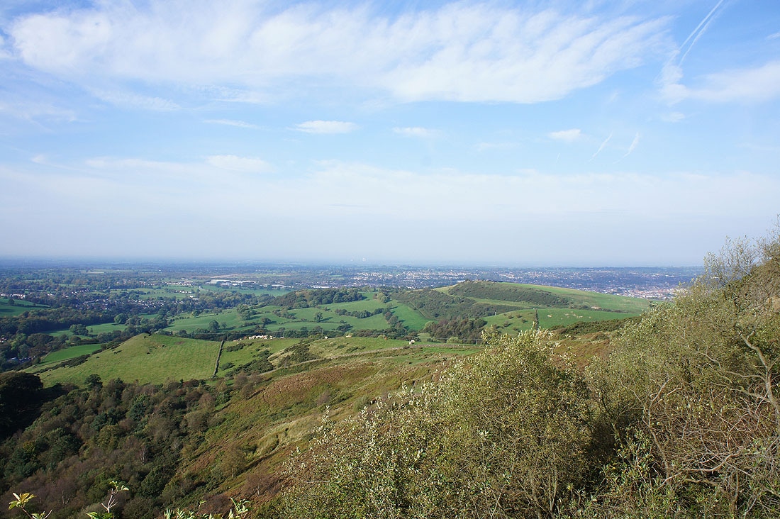
The view out west across the Cheshire Plain and I can make out the Lovell Telescope at Jodrell Bank
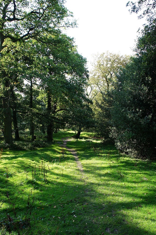
Walking through Teggsnose Wood
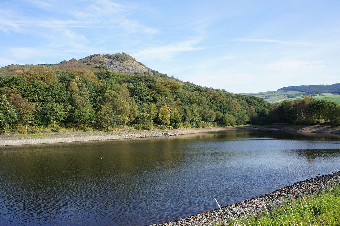
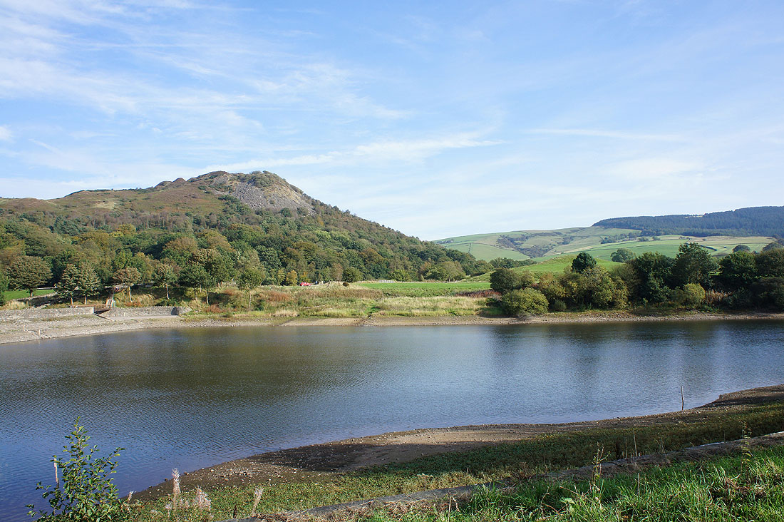
Tegg's Nose above Teggsnose Reservoir
and above Bottoms Reservoir
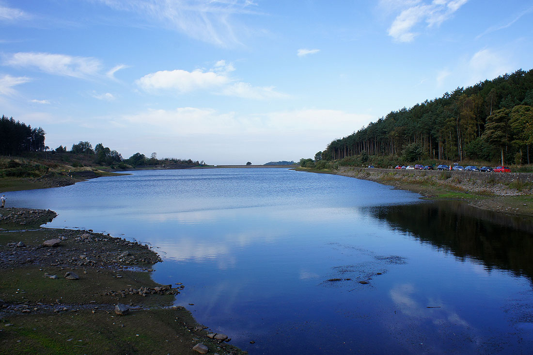
Ridgegate Reservoir
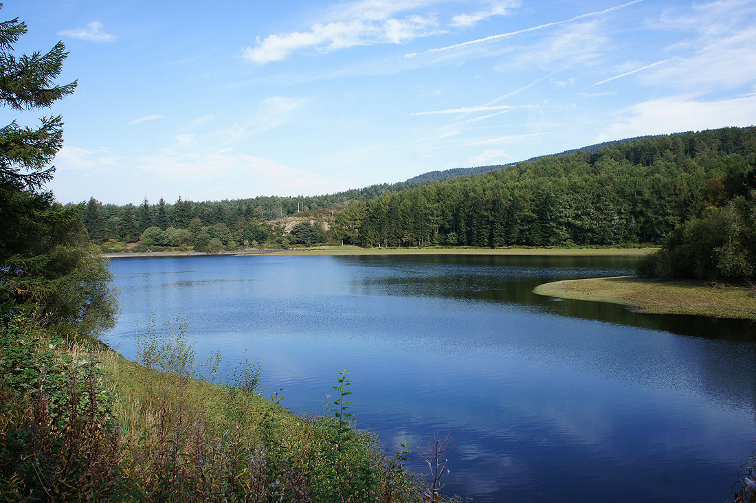
Trentabank Reservoir
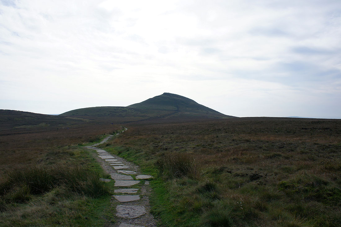
Shutlingsloe ahead
Shining Tor from Shutlingsloe
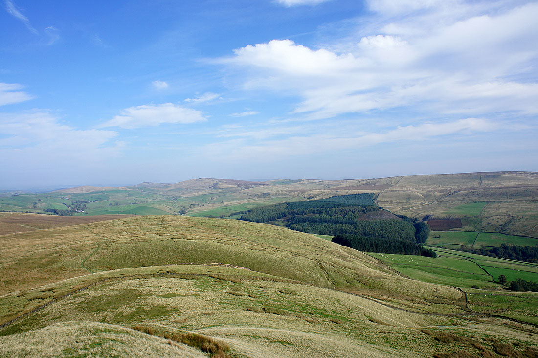
Macclesfield Forest below
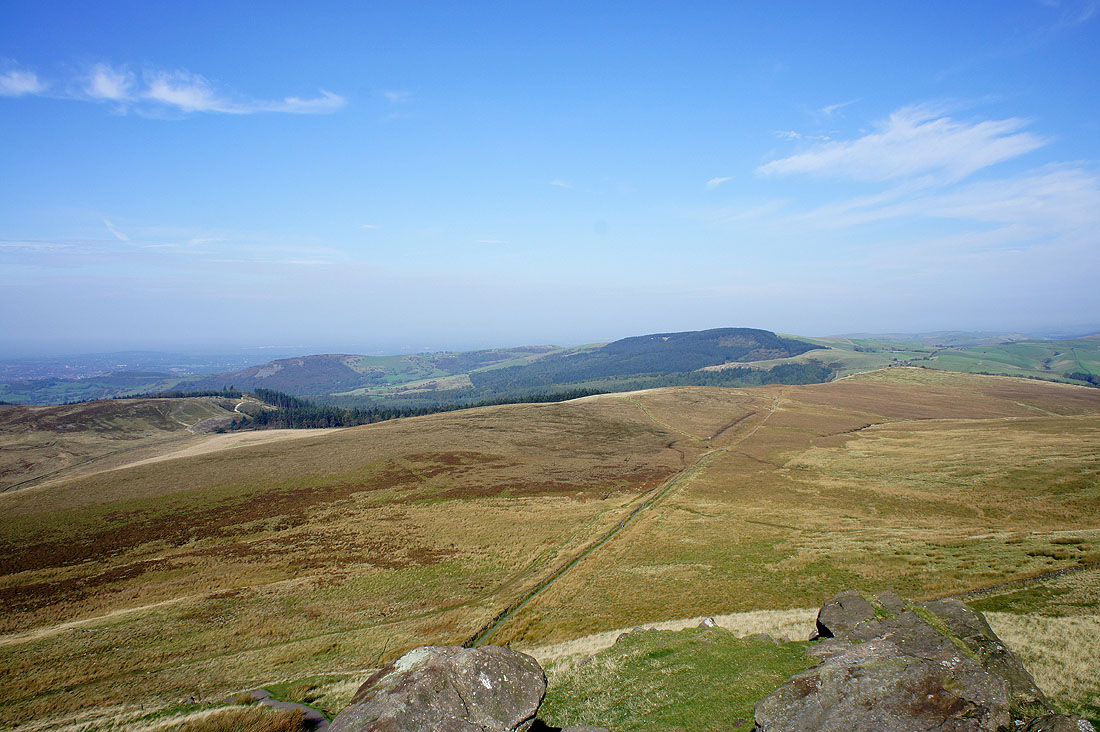
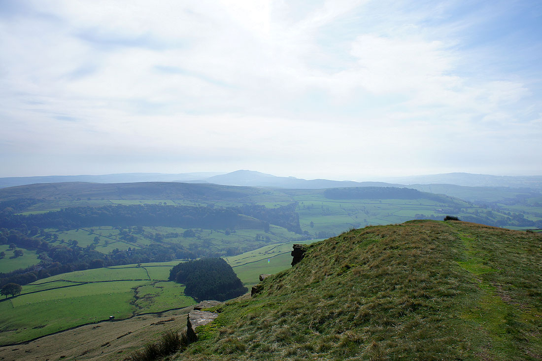
The view of moors to the southwest
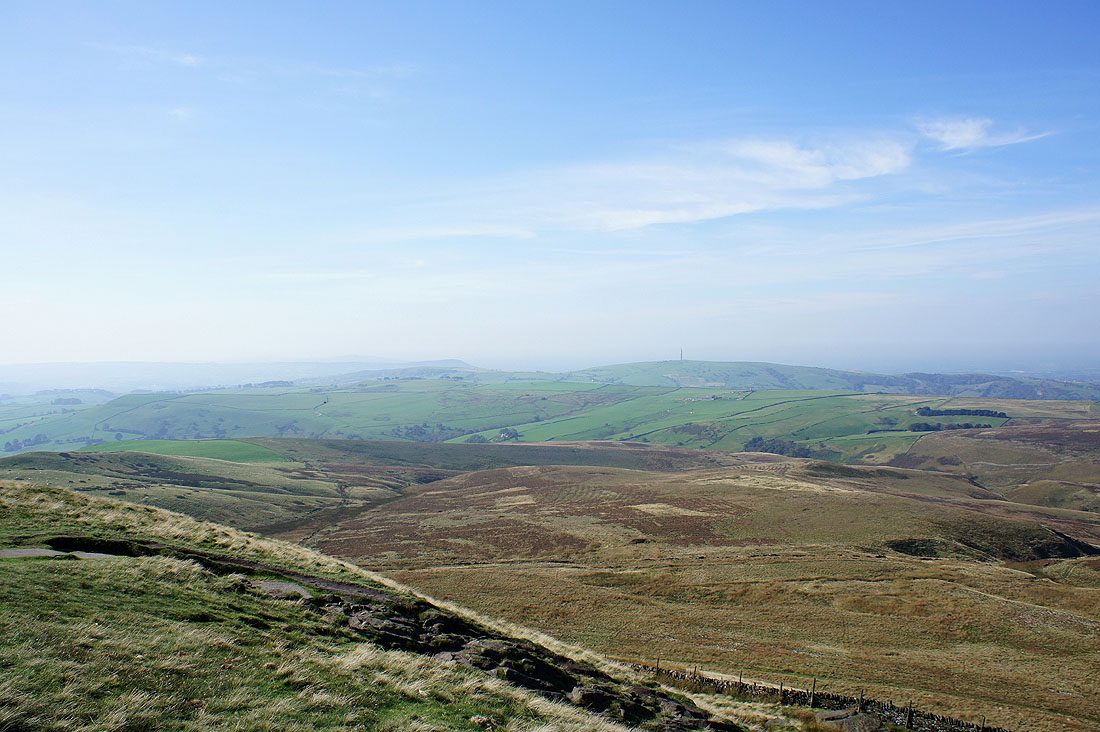
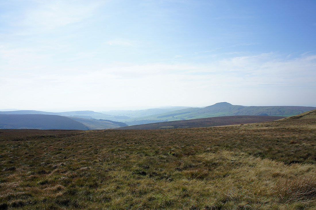
The Roaches in the distance
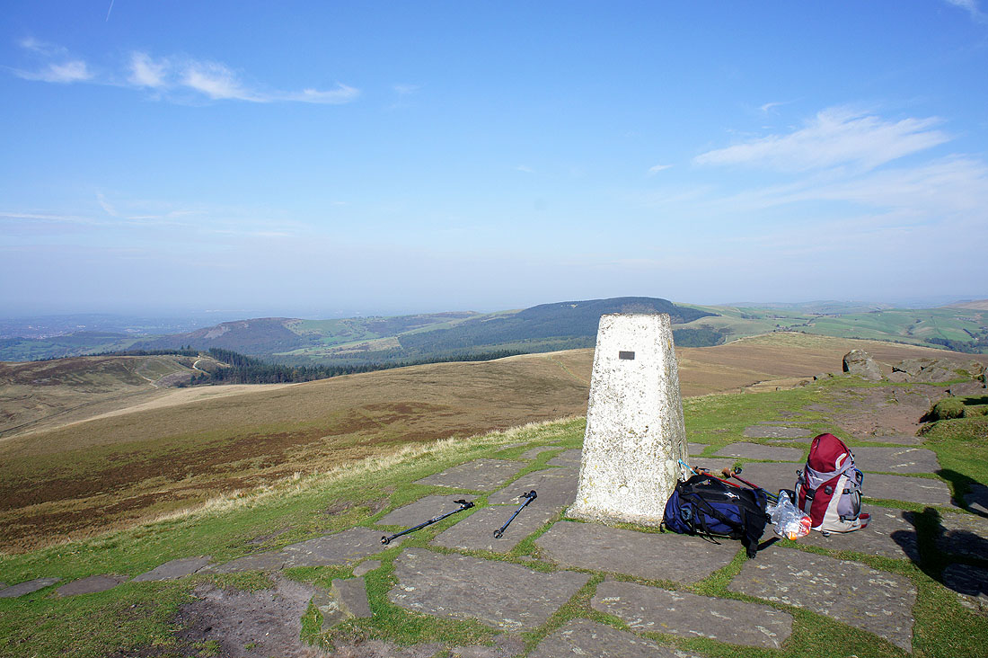
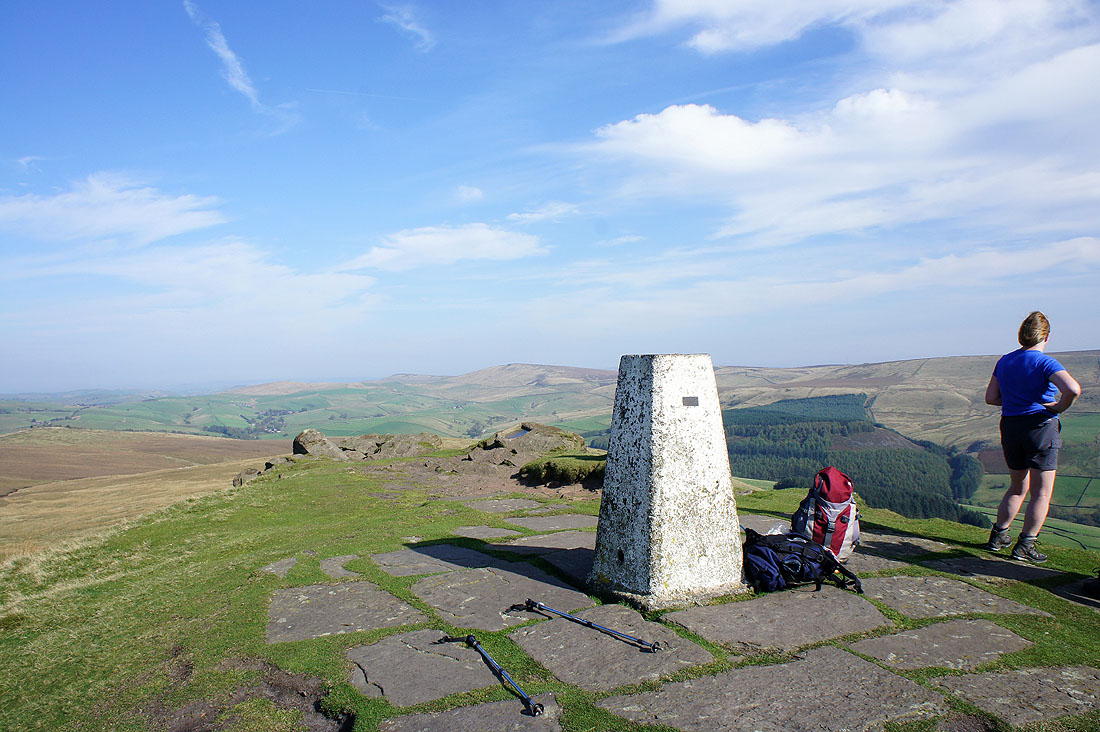
On the summit of Shutlingsloe..
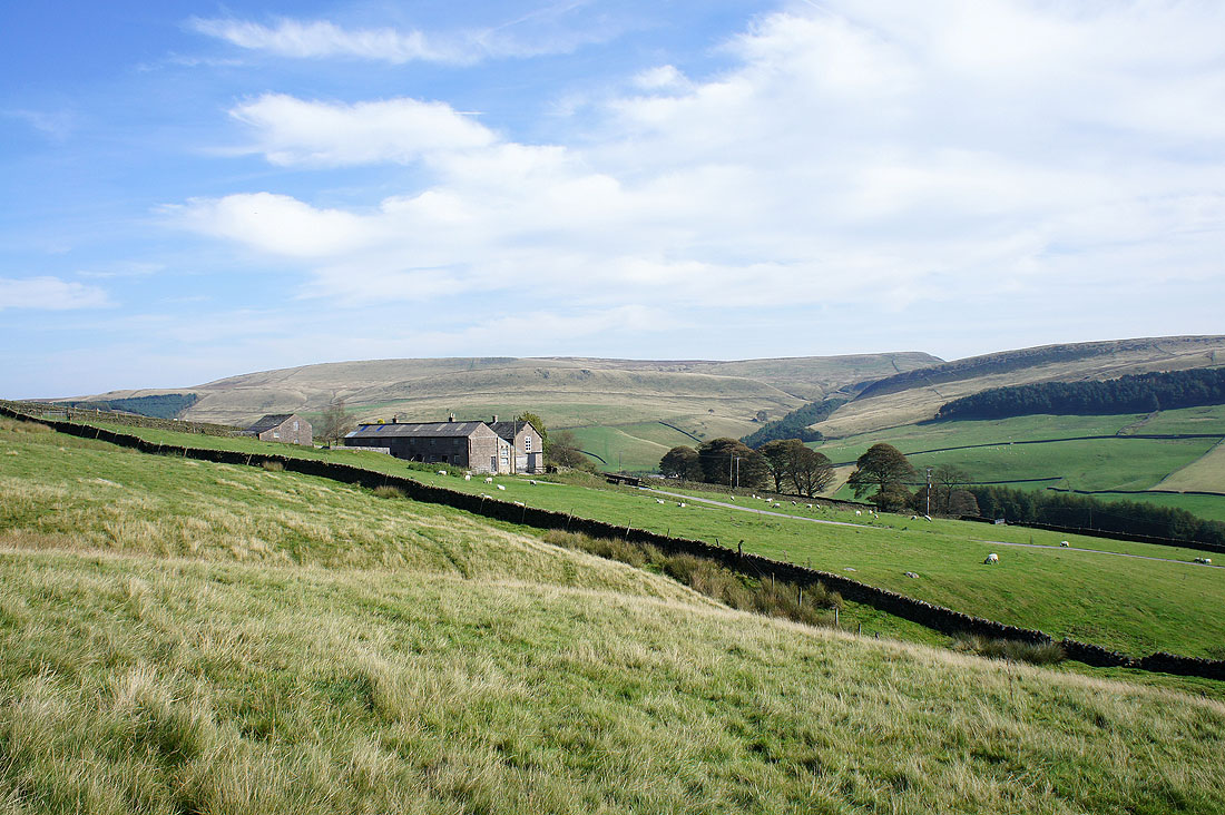
Shutlingsloe Farm as I head down to Wildboarclough
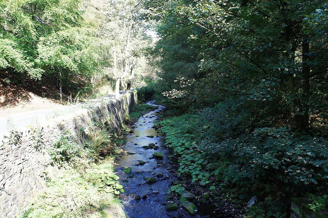
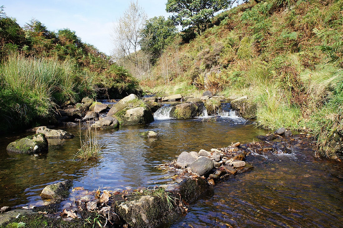
Clough Brook
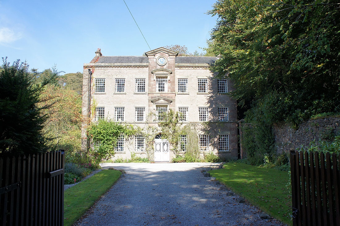
Crag Mill
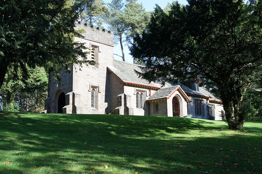
St. Saviour's, Wildboarclough
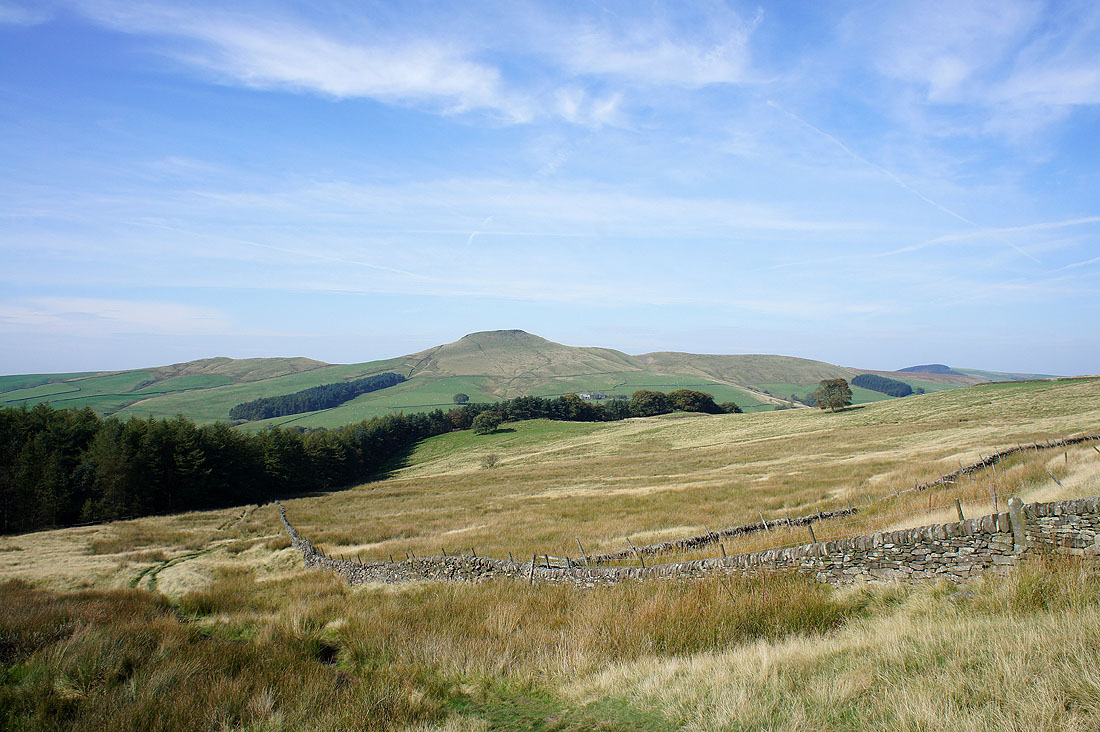
Looking back to Shutlingsloe as I head for Three Shire Heads
The Dane Valley with The Roaches in the distance
The River Dane at Three Shire Heads
The River Dane
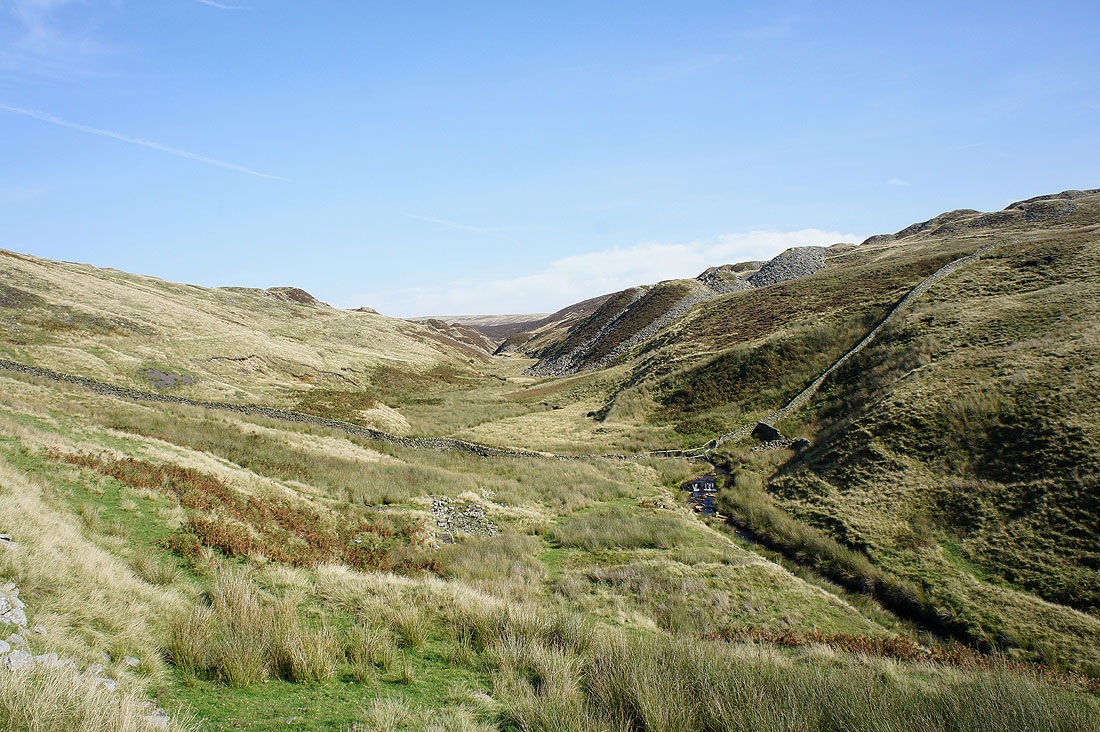
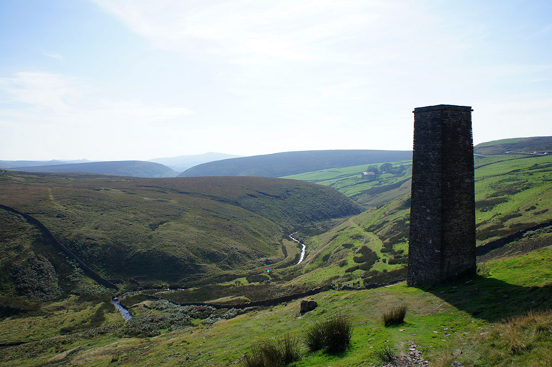
Danebower Quarries
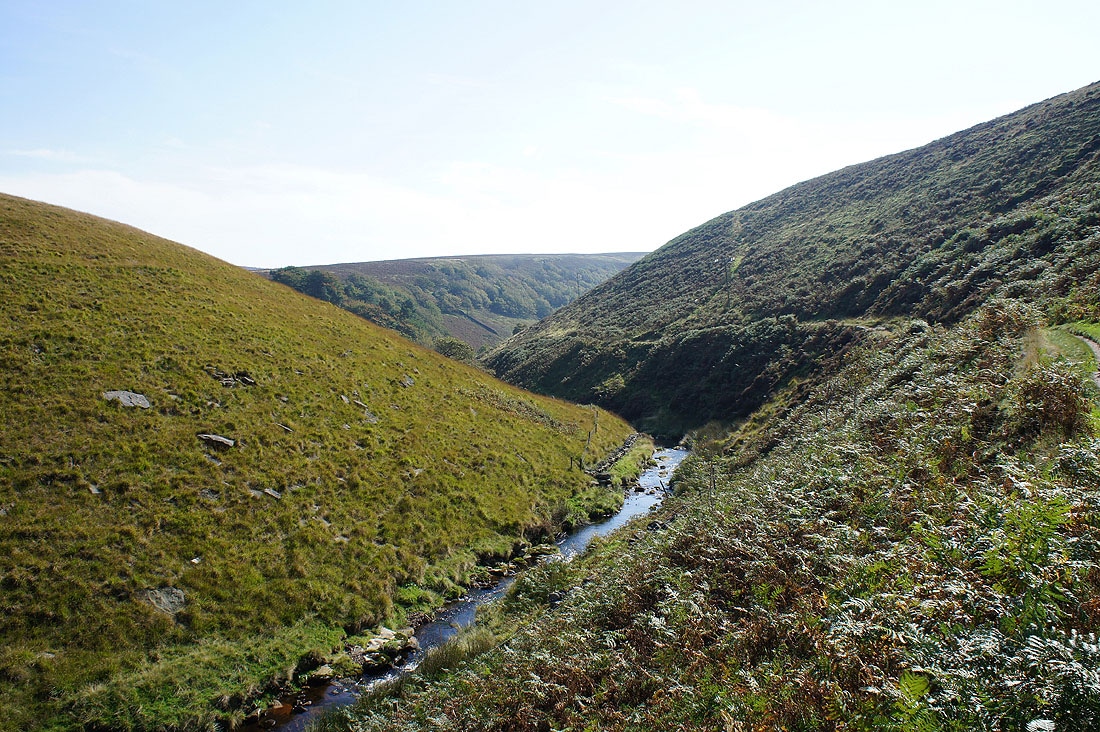
The River Dane below
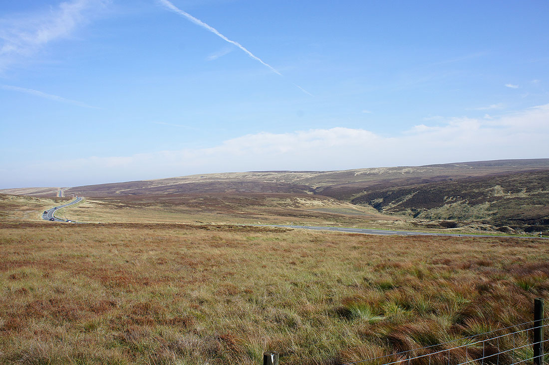
Axe Edge Moor across the A54
Shutlingsloe from the bridleway across Danebower Hollow
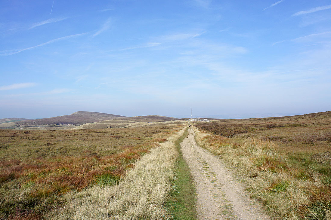
On the bridleway to the Cat & Fiddle
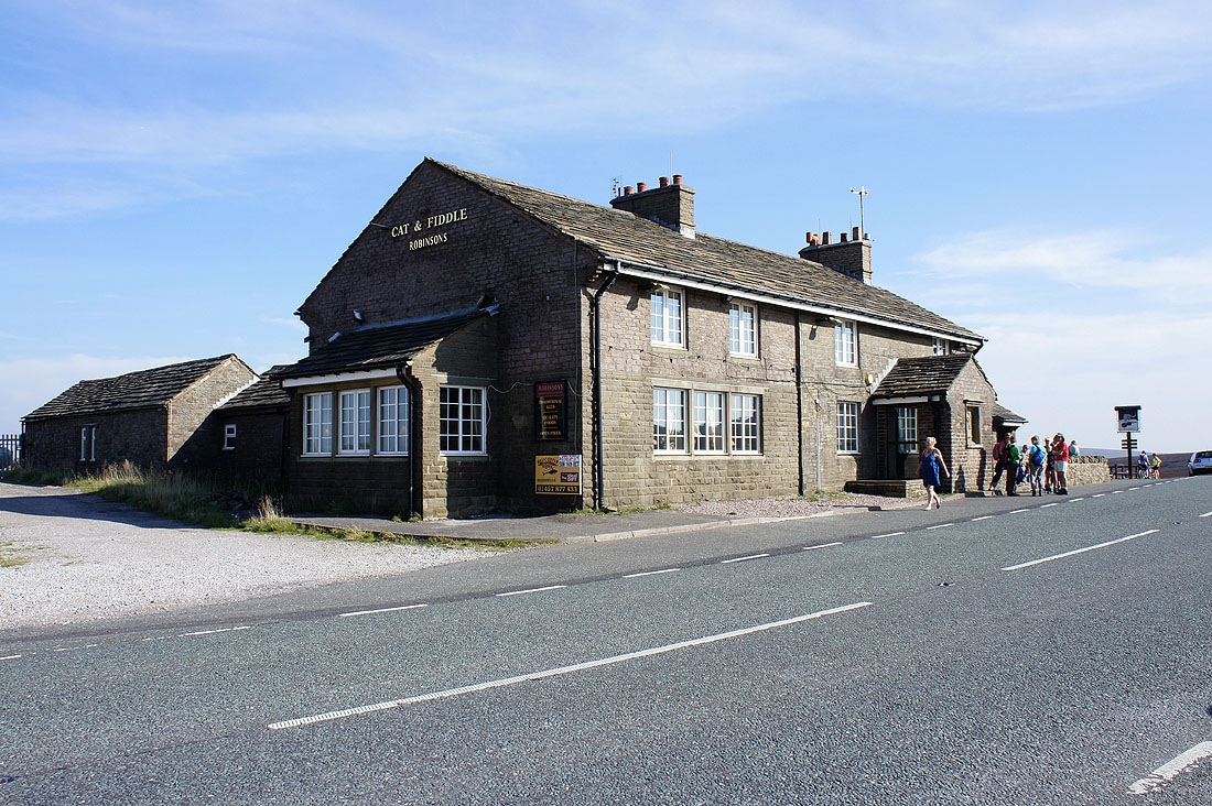
The Cat & Fiddle pub by the A537
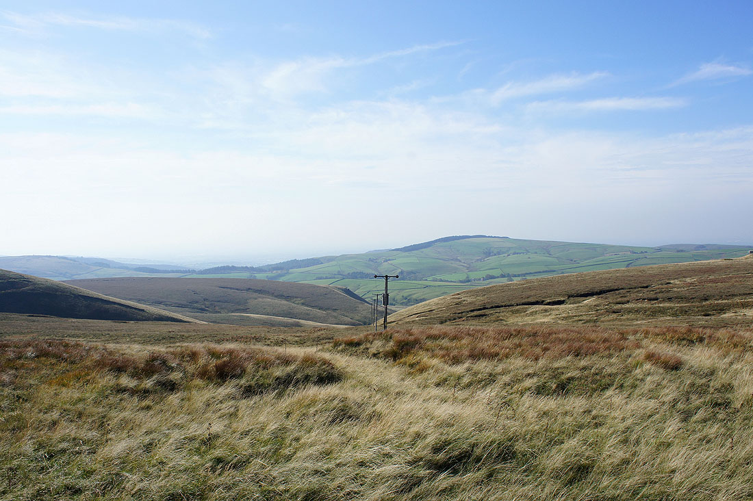
The view from the roadside
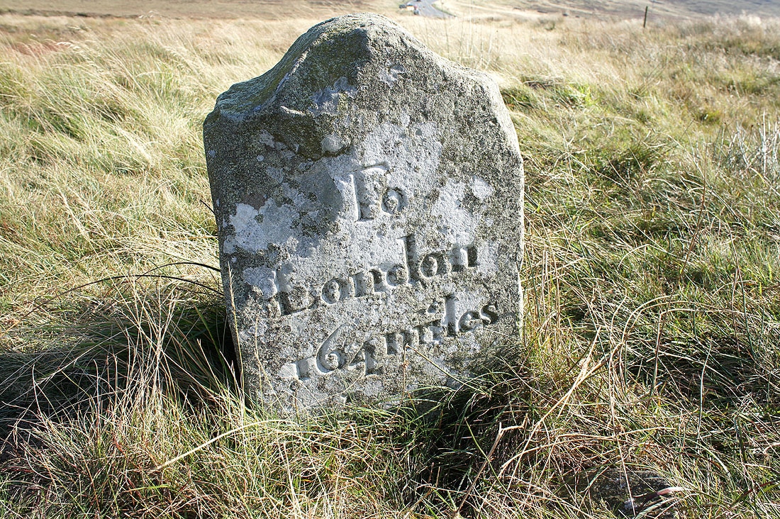
A milestone by the road
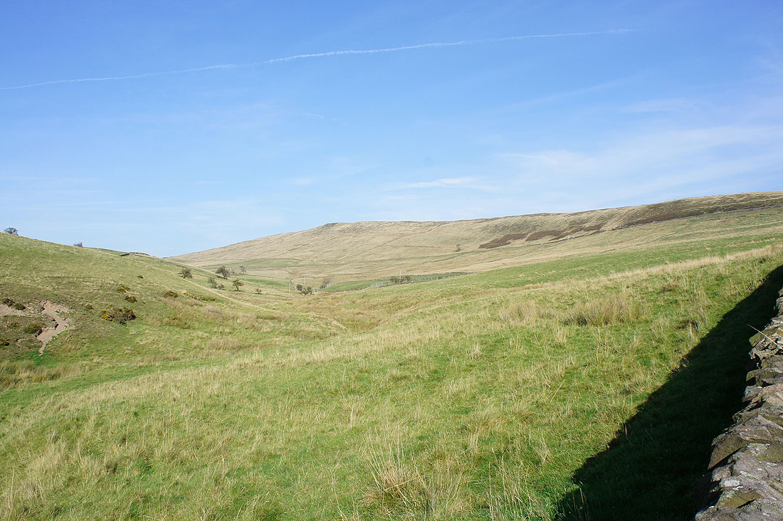
Shining Tor as I walk down the road to Bottom-of-the-Oven
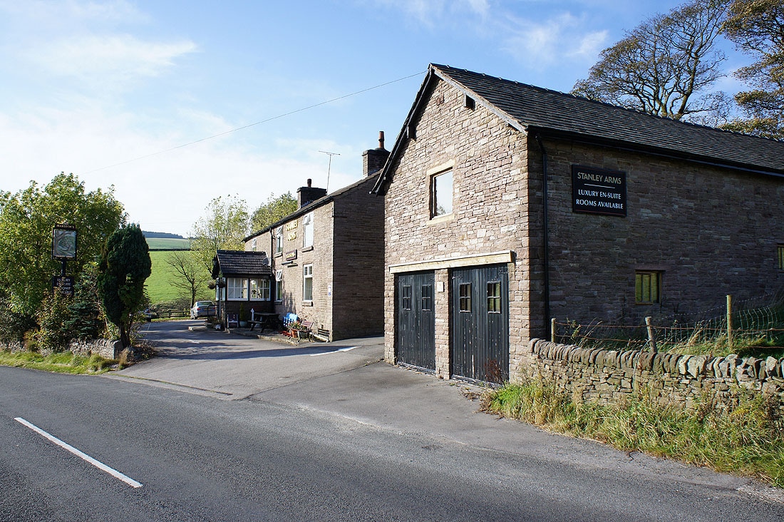
Passing the pub of the Stanley Arms
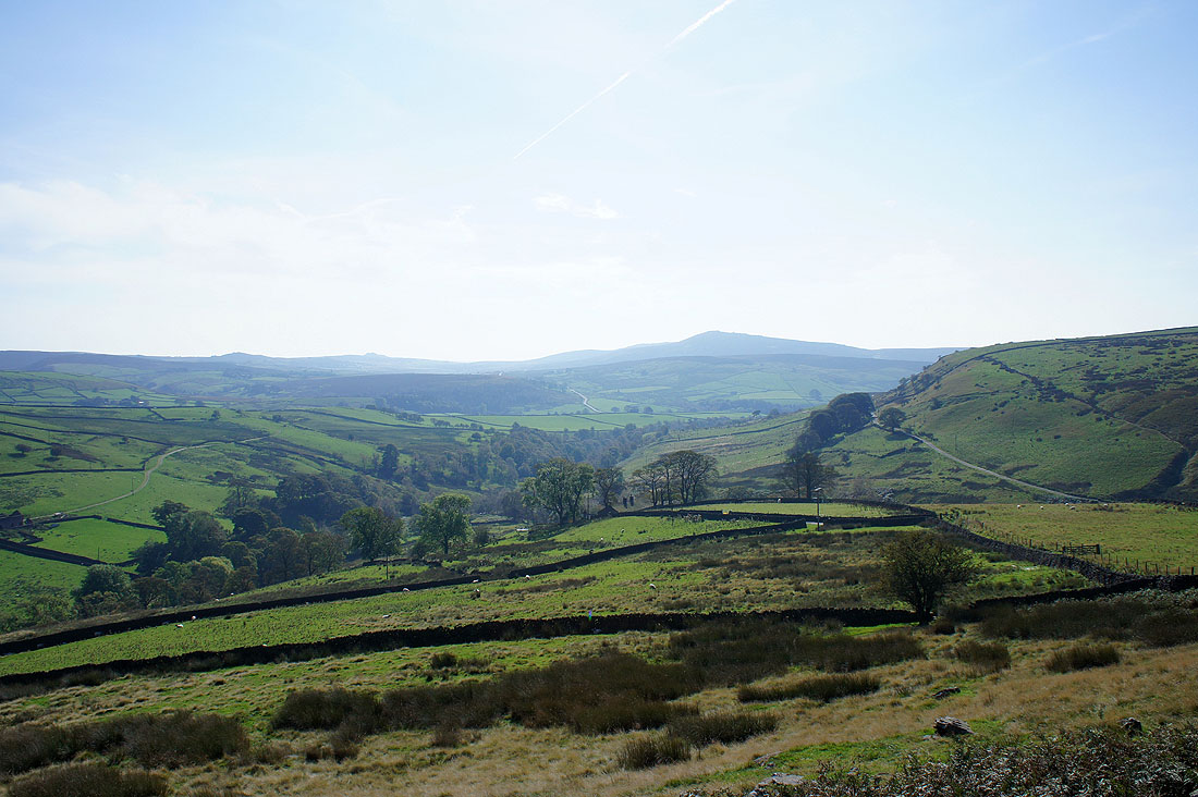
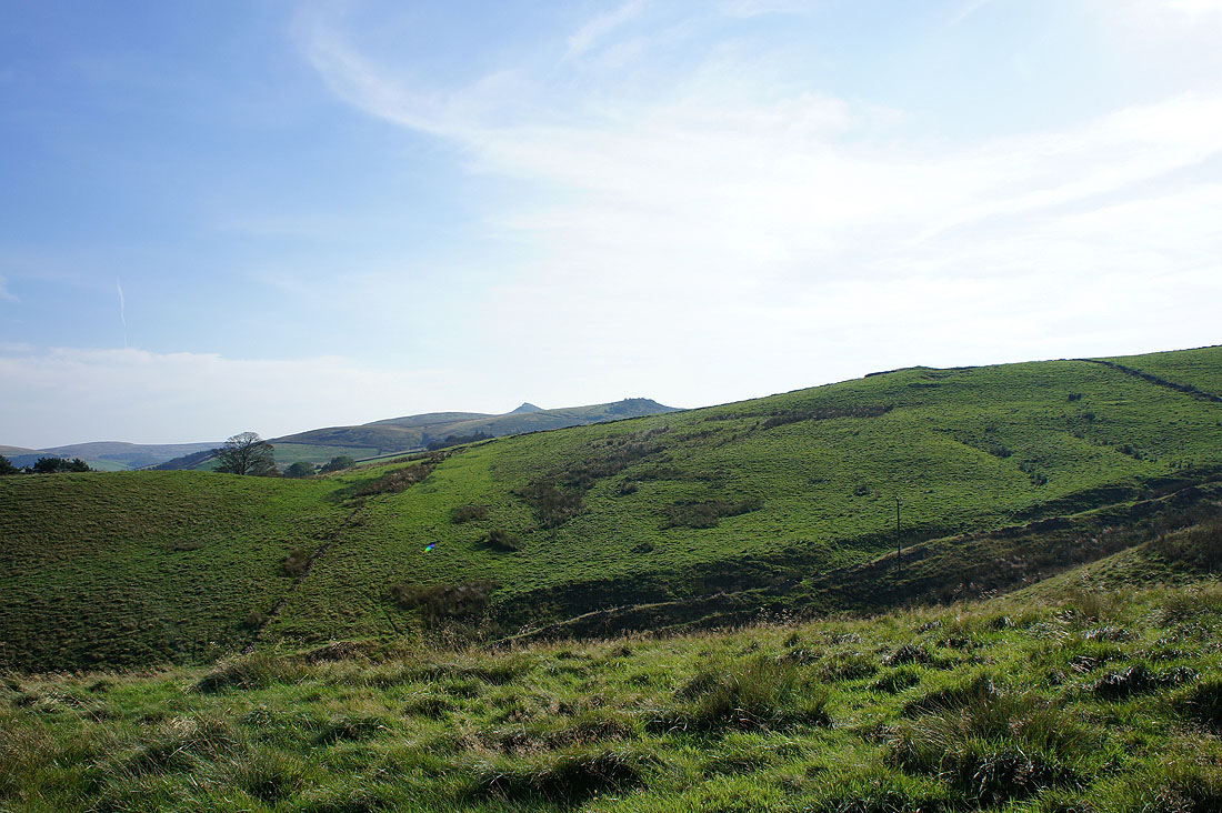
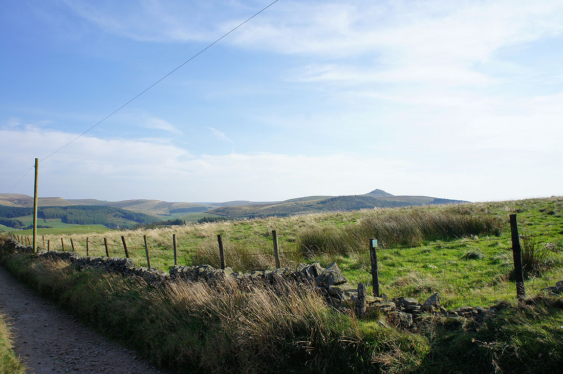
The pointed top is Shutlingsloe
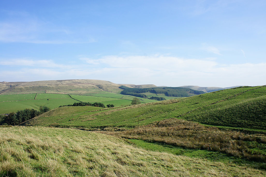
Countryside around Macclesfield Forest..
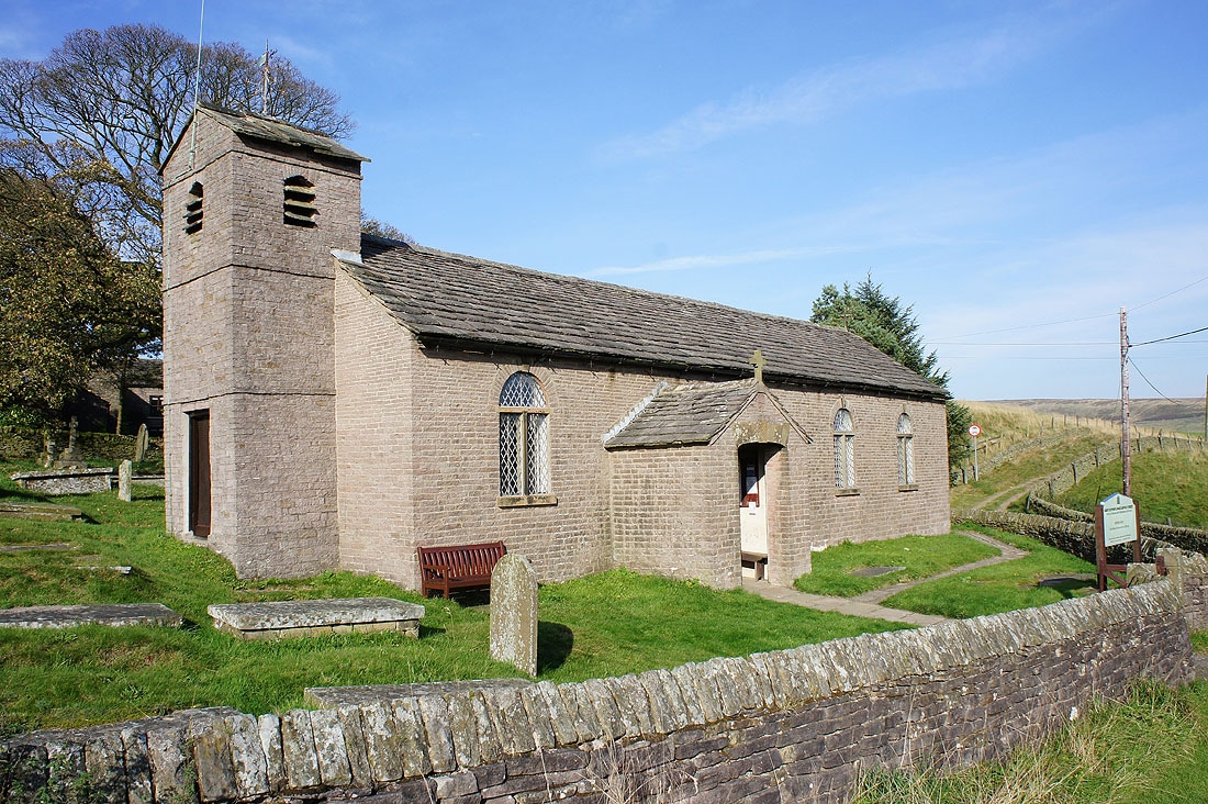
St. Stephen's, Macclesfield Forest
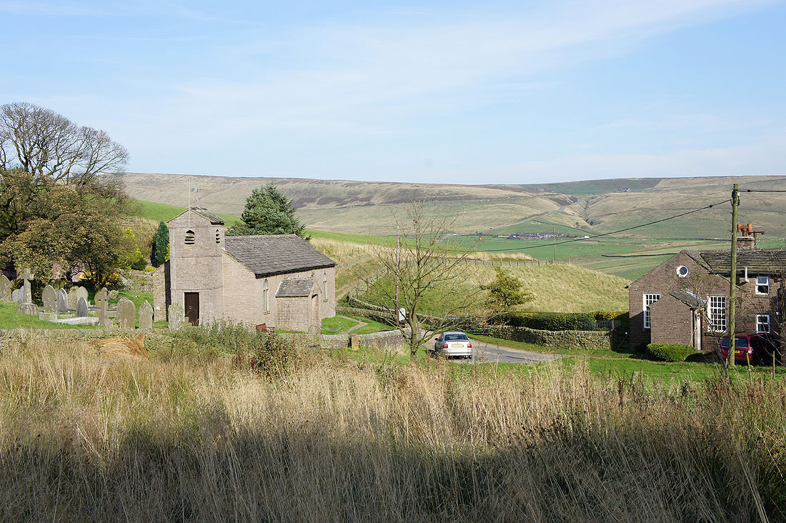
The hamlet of Macclesfield Forest
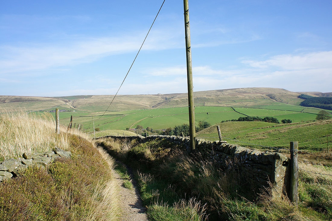
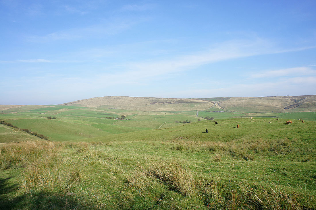
The view across to Shining Tor from the bridleway above the hamlet
and Shutlingsloe on the right
panorama with Shining Tor on the left
Tegg's Nose
Back at the car park with Shutlingsloe in the distance
