1st September 2018 - Win Hill and the Great Ridge
Walk Details
Distance walked: 12.8 miles
Total ascent: 2922 ft
OS map used: OL1 - The Peak District, Dark Peak area
Time taken: 7 hrs
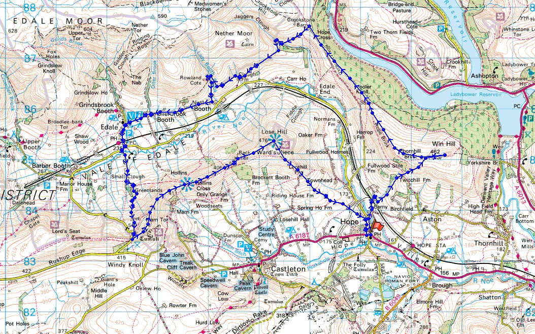
Route description: Hope-Edale Road-Twitchill Farm-Win Hill-Hope Cross-Jaggers Clough-Clough Farm-YHA Edale-Nether Booth-Ollerbrook Booth-Edale-Hardenclough Farm-Greenlands-Mam Nick-Mam Tor-Hollins Cross-Barker Bank-Back Tor-Lose Hill-Hope
Today may be the first day of meteorological autumn but this summer is still delivering. The best weather was to be found in the Peak District so I set off for Hope to do a route that would take in Win Hill and the Great Ridge, a combination that I'd never tried before. Although I expected parts of this route to be busy, in particular the Great Ridge from Mam Tor to Lose Hill, little did I know that it would be even busier on another section as I joined the massed ranks of charity walkers from Hope Cross to Edale, where our routes then diverged. It was a beautiful day for being on the hills with more or less wall-to-wall sunshine and a strong breeze high up. I broke up the day with a stop for refreshments at the Penny Pot Cafe in Edale.
From the car park in Hope I set off by heading north out of the village along the Edale Road until I reached the lane down to Killhill Bridge to cross the River Noe. I kept left at any junctions on this lane until I'd passed under the railway bridge and then turned right and took the lane up to Twitchill Farm. The footpath on the other side of the farm then took me up the hillside and to the summit of Win Hill. From there I followed the ridge west, then northwest to Hope Cross and past it to the crossroads of bridleways where I turned left and took the bridleway west to Jaggers Clough and then the Vale of Edale and Clough Farm. I then took the footpath across the hillside to the Edale youth hostel, followed the hostel's drive down to Nether Booth, where I picked up the footpath west to Ollerbrook Booth and Edale. After my break at the Penny Pot Cafe I made my way out to the Edale Road and took the bridleway south to Hardenclough Farm, Greenlands and up to Mam Nick, where after a short climb I reached the summit of Mam Tor. The walk along the Great Ridge from Mam Tor to Lose Hill came next followed by making my way back down to Hope and the car park.
Total ascent: 2922 ft
OS map used: OL1 - The Peak District, Dark Peak area
Time taken: 7 hrs
Route description: Hope-Edale Road-Twitchill Farm-Win Hill-Hope Cross-Jaggers Clough-Clough Farm-YHA Edale-Nether Booth-Ollerbrook Booth-Edale-Hardenclough Farm-Greenlands-Mam Nick-Mam Tor-Hollins Cross-Barker Bank-Back Tor-Lose Hill-Hope
Today may be the first day of meteorological autumn but this summer is still delivering. The best weather was to be found in the Peak District so I set off for Hope to do a route that would take in Win Hill and the Great Ridge, a combination that I'd never tried before. Although I expected parts of this route to be busy, in particular the Great Ridge from Mam Tor to Lose Hill, little did I know that it would be even busier on another section as I joined the massed ranks of charity walkers from Hope Cross to Edale, where our routes then diverged. It was a beautiful day for being on the hills with more or less wall-to-wall sunshine and a strong breeze high up. I broke up the day with a stop for refreshments at the Penny Pot Cafe in Edale.
From the car park in Hope I set off by heading north out of the village along the Edale Road until I reached the lane down to Killhill Bridge to cross the River Noe. I kept left at any junctions on this lane until I'd passed under the railway bridge and then turned right and took the lane up to Twitchill Farm. The footpath on the other side of the farm then took me up the hillside and to the summit of Win Hill. From there I followed the ridge west, then northwest to Hope Cross and past it to the crossroads of bridleways where I turned left and took the bridleway west to Jaggers Clough and then the Vale of Edale and Clough Farm. I then took the footpath across the hillside to the Edale youth hostel, followed the hostel's drive down to Nether Booth, where I picked up the footpath west to Ollerbrook Booth and Edale. After my break at the Penny Pot Cafe I made my way out to the Edale Road and took the bridleway south to Hardenclough Farm, Greenlands and up to Mam Nick, where after a short climb I reached the summit of Mam Tor. The walk along the Great Ridge from Mam Tor to Lose Hill came next followed by making my way back down to Hope and the car park.
Route map
© Crown copyright. All rights reserved. License number PU 100034184.
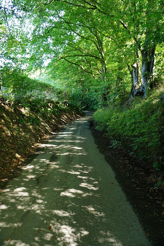
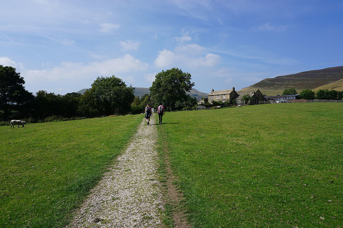
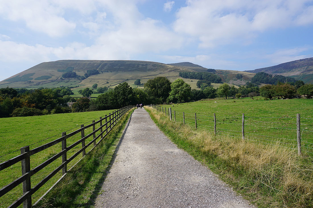
After walking north along the Edale Road from Hope there's a quiet lane to follow to Twitchill Farm
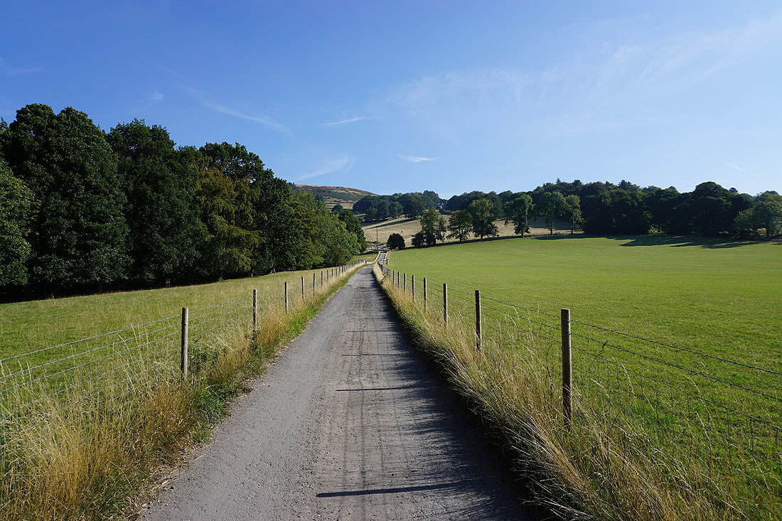
Walking up the driveway to Twitchill Farm
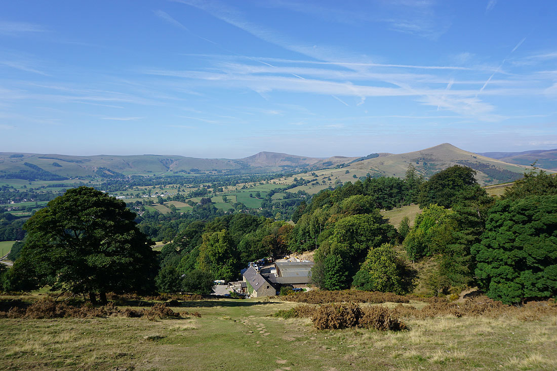
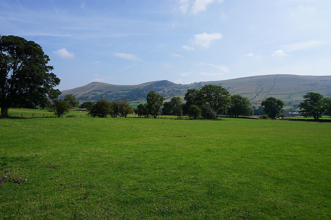
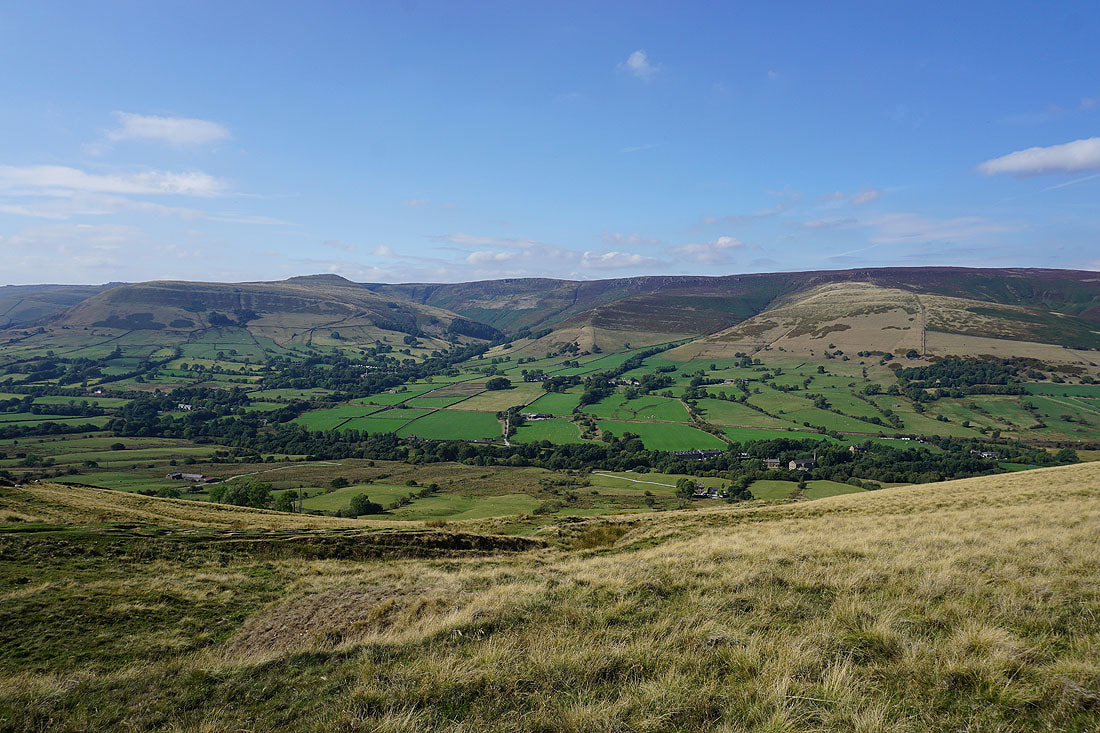
There's a great view of the Hope Valley, Mam Tor and Lose Hill from above Twitchill Farm
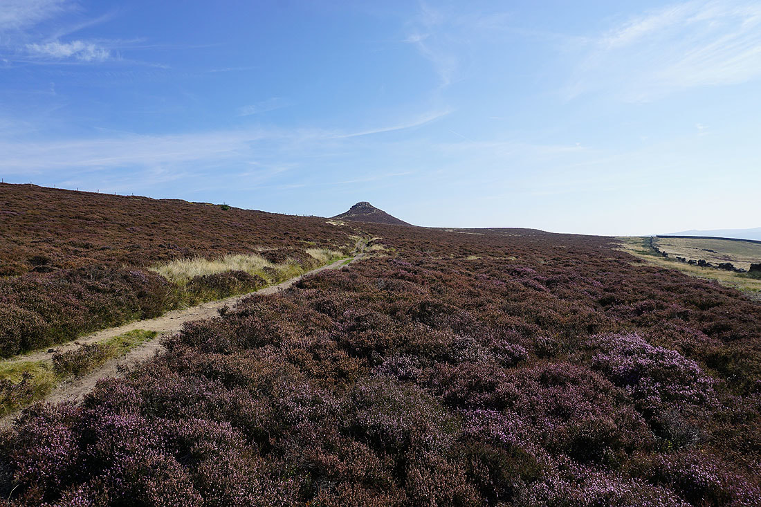
The rocky summit of Win Hill comes into view
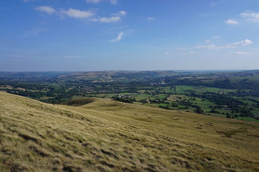
Mam Tor, Lose Hill and Kinder Scout from the summit of Win Hill
Looking down the Derwent Valley
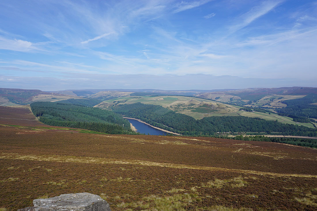
A distant Bleaklow, Crook Hill and a bit of Ladybower Reservoir
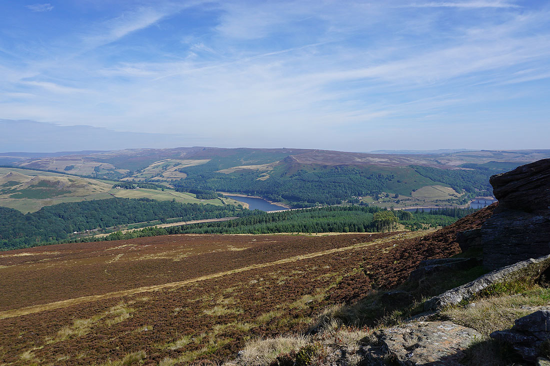
Looking across to Derwent Edge..
Bamford Edge with Stanage Edge behind it
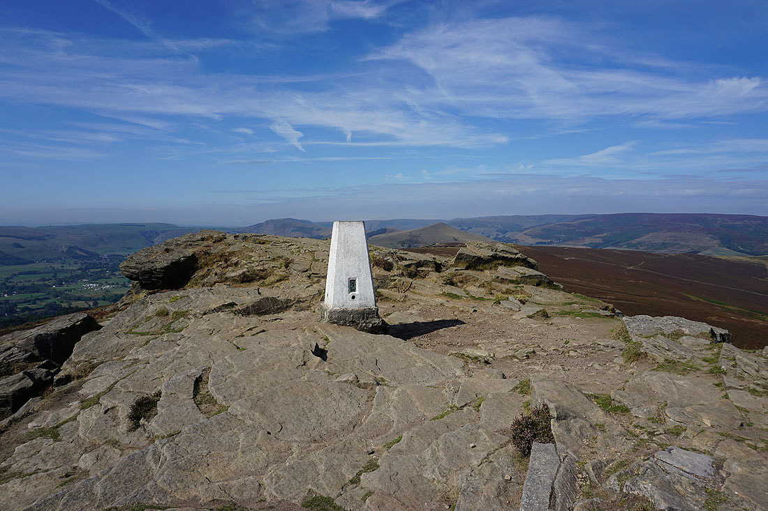
The rocky summit of Win Hill..
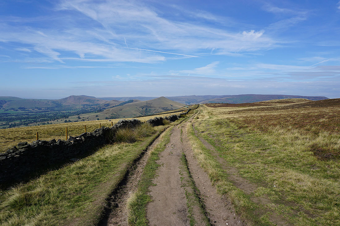
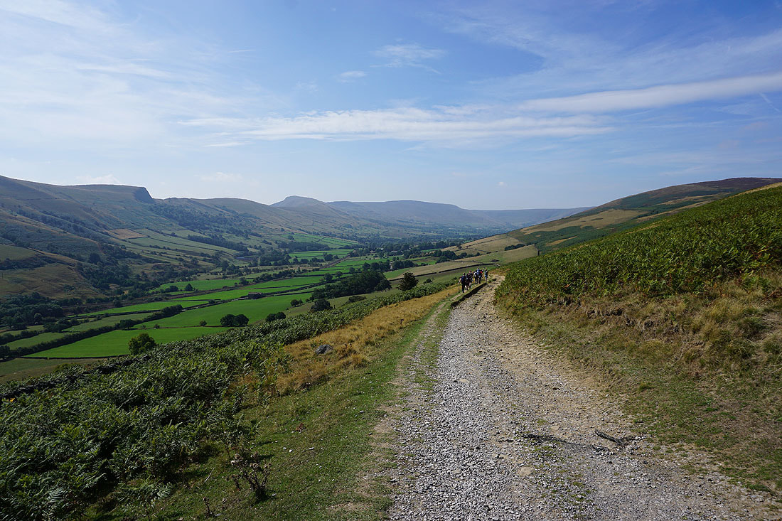
Win Hill is left behind for the bridleway to Wooler Knoll and Hope Cross..
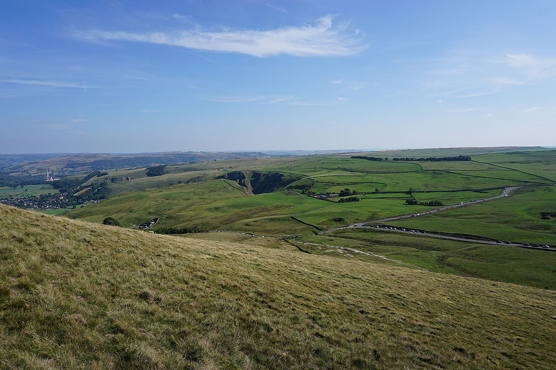
Further on and I get a great view into the Vale of Edale with Lose Hill on the left and Kinder Scout on the right
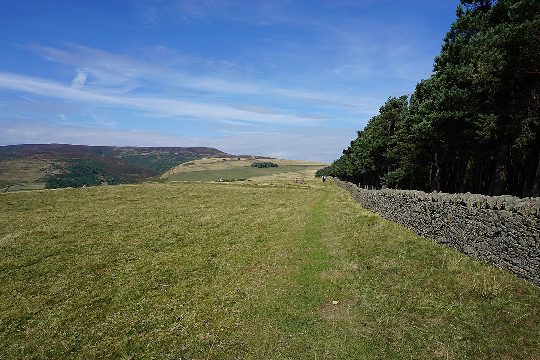
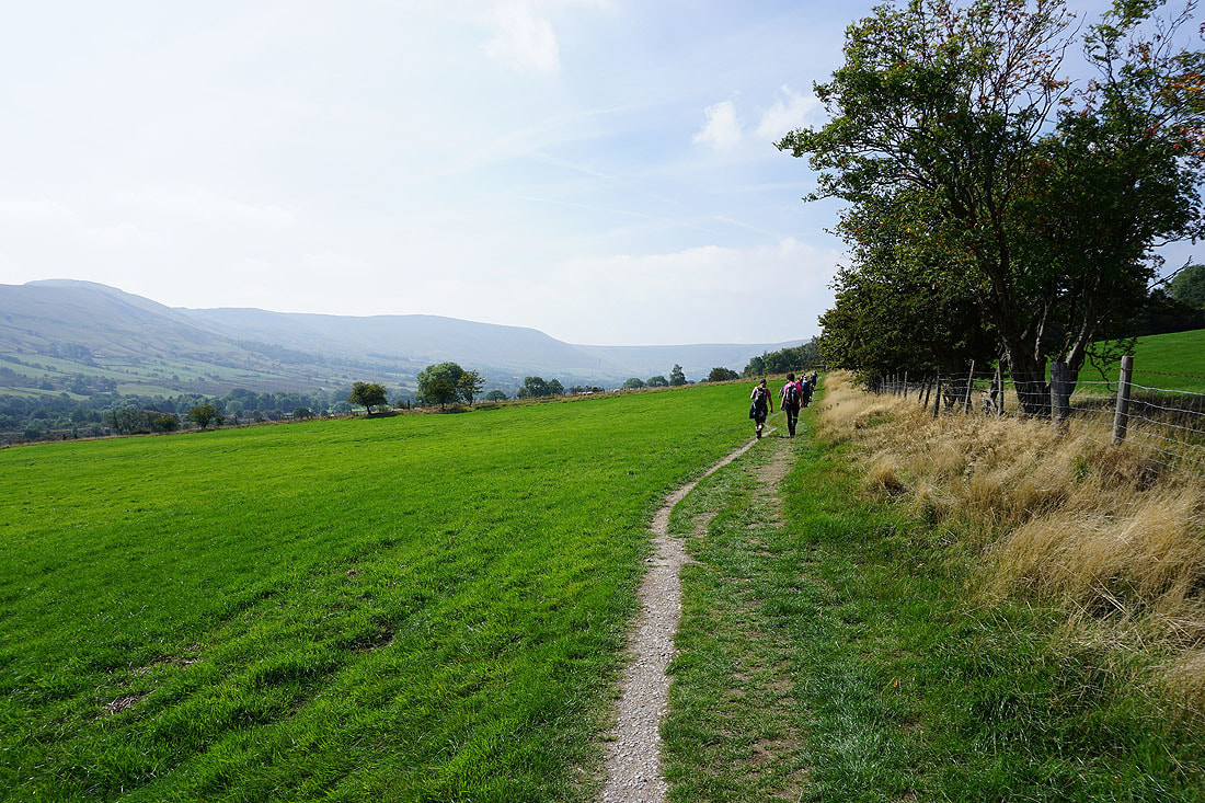
Approaching Hope Cross and it's becoming busy with other walkers and mountain bikers
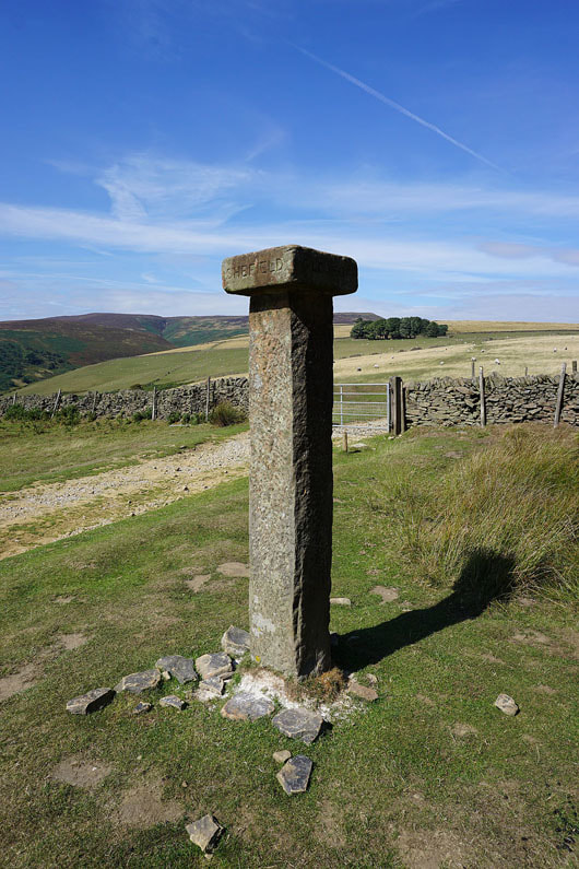
Hope Cross
Looking back to Win Hill from the bridleway to Jaggers Clough
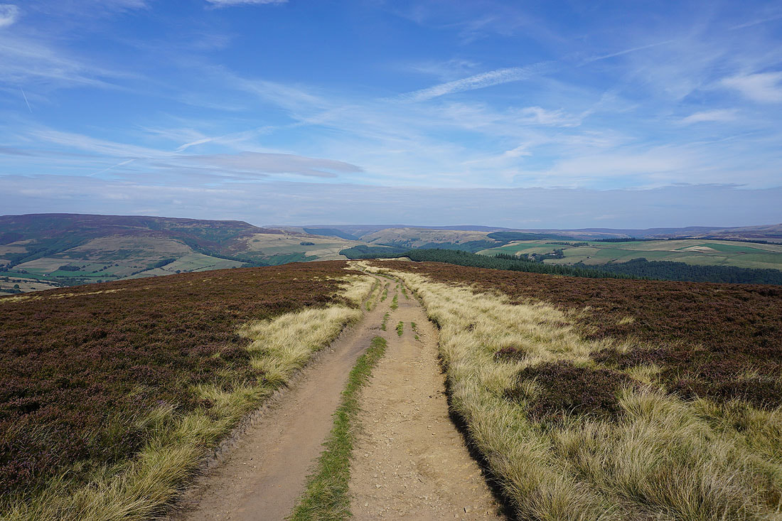
The bridleway then heads up out of Jaggers Clough..
..and into the Vale of Edale
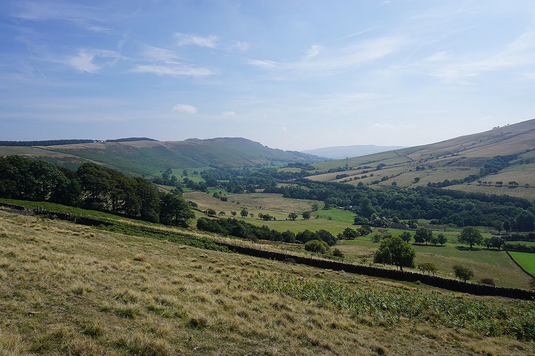
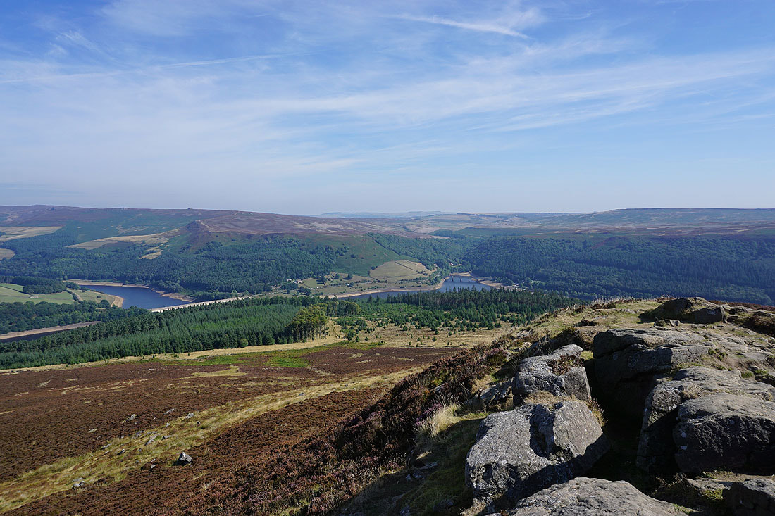
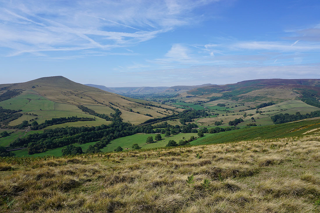
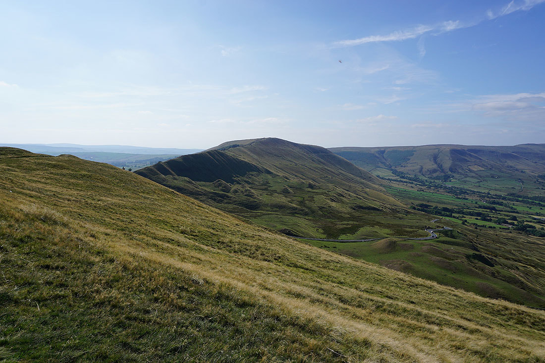
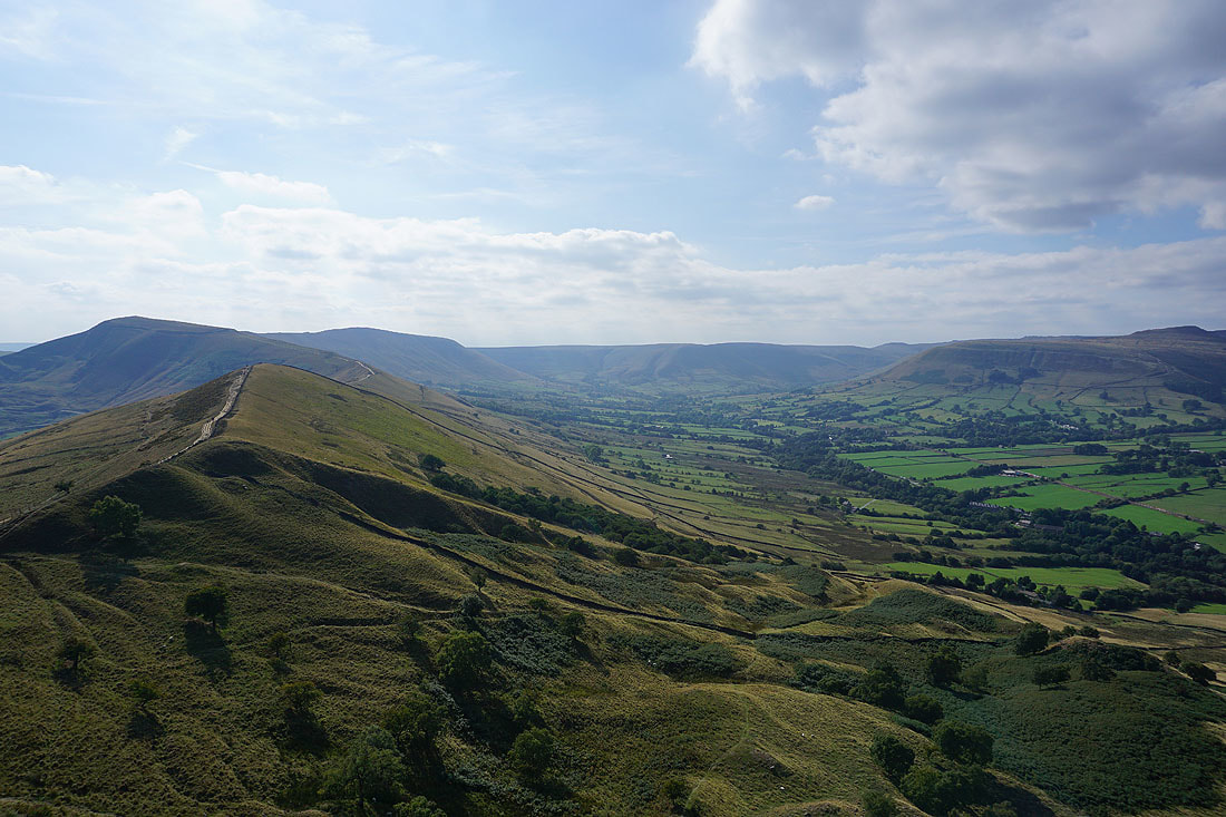
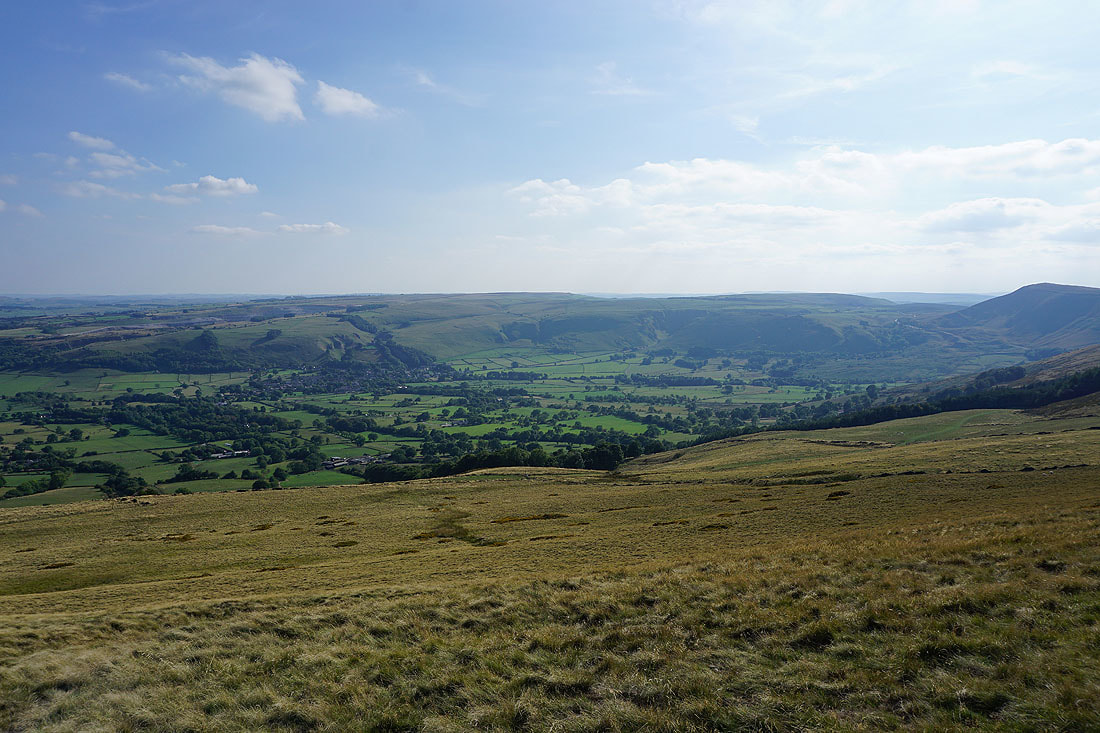
Looking down the Vale of Edale to Win Hill
and across to Lose Hill, Back Tor, Barker Bank and Mam Tor
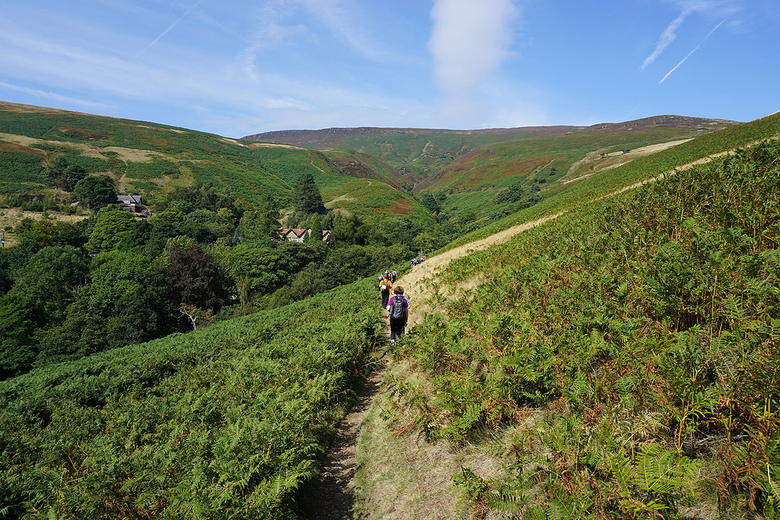
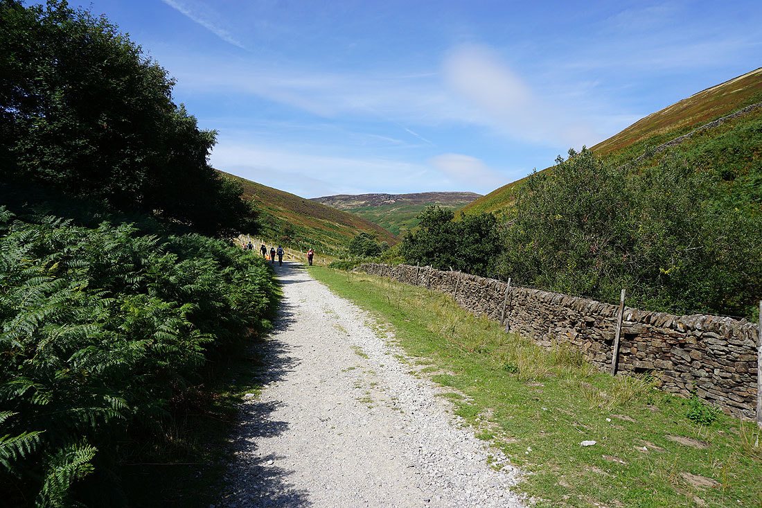
Approaching the Edale youth hostel. I've been amongst people during an organised charity walk for the past hour.
Following the path up the valley to Ollerbrook Booth..
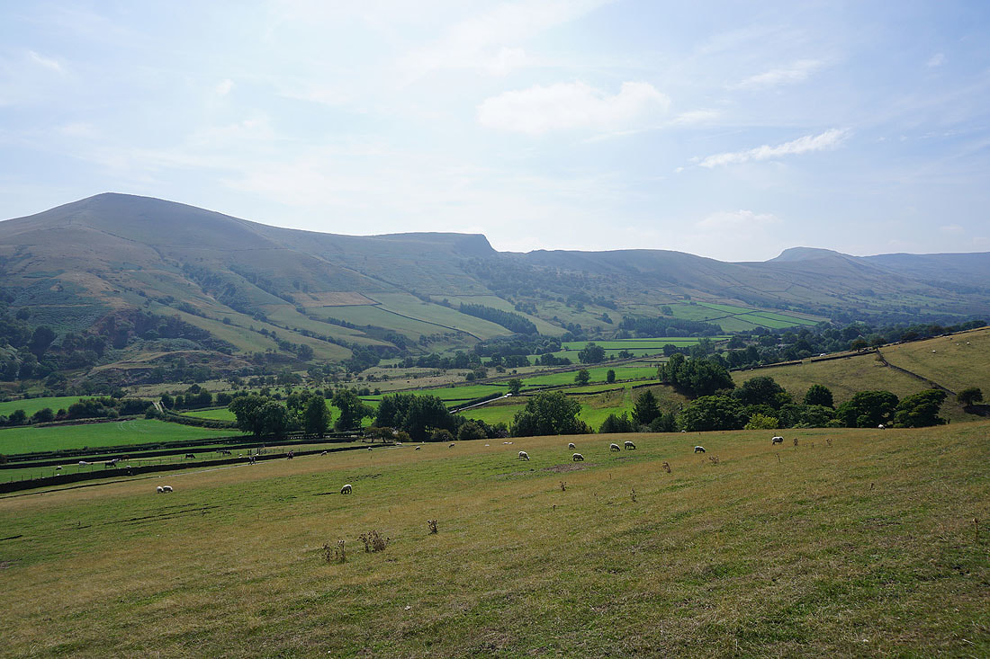
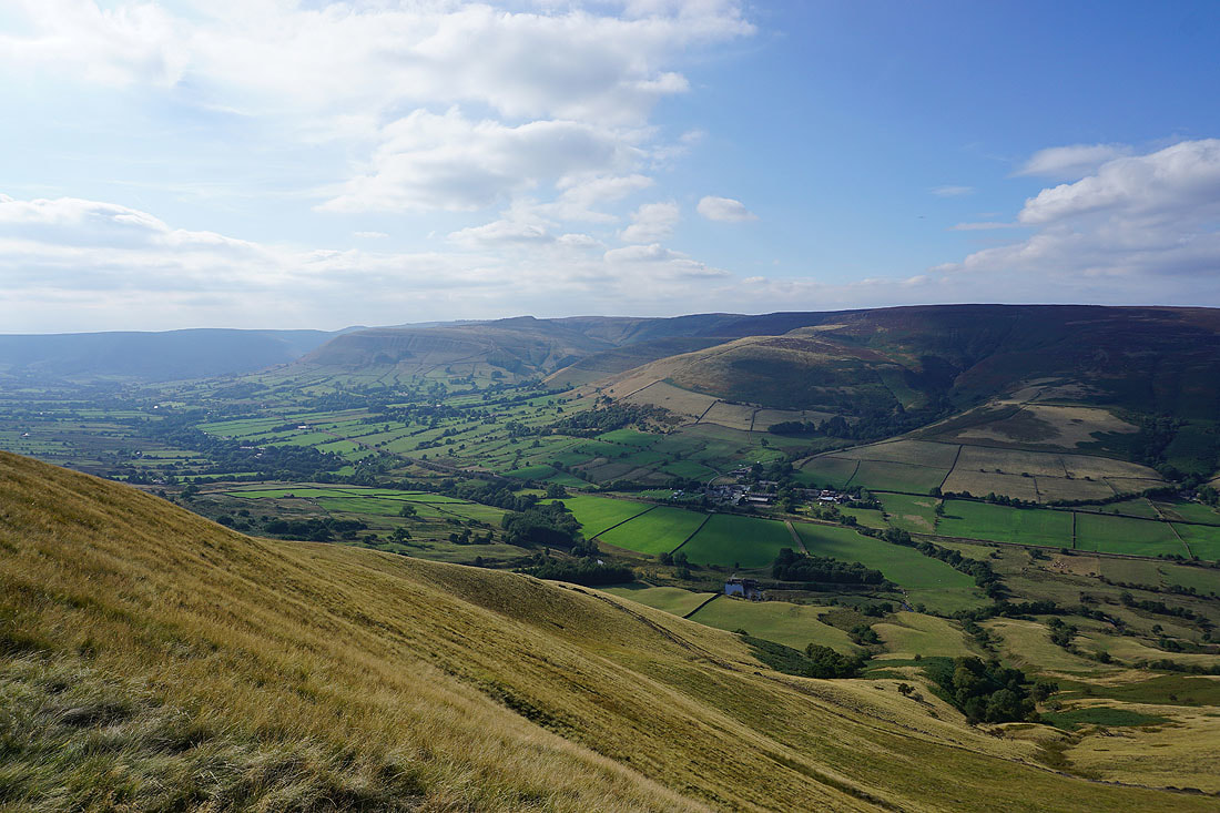
Lose Hill, Back Tor and Barker Bank
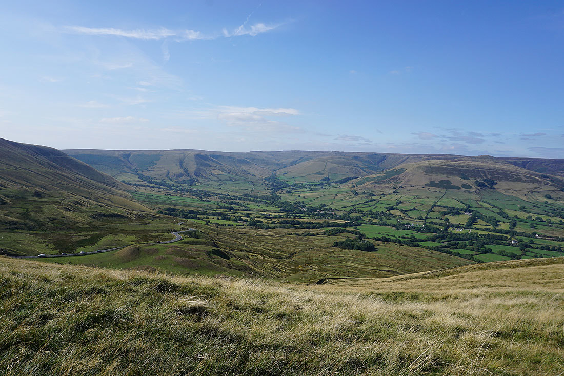
Looking up Ollerbrook Clough to Kinder Scout
Grindsbrook Knoll in front of me as I make the final approach to Edale
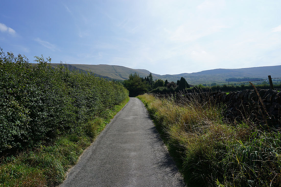
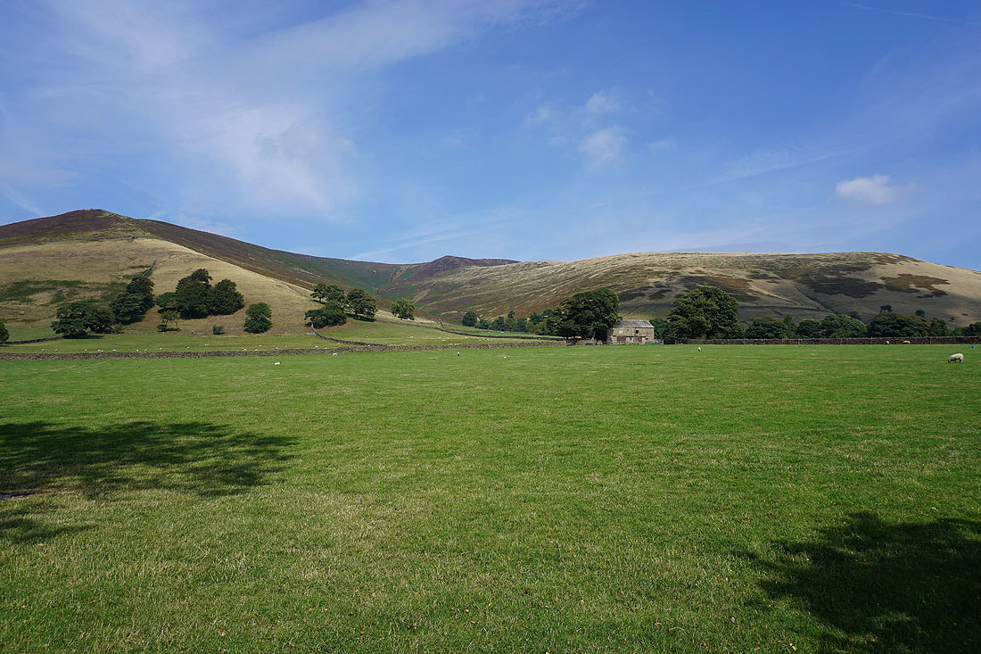
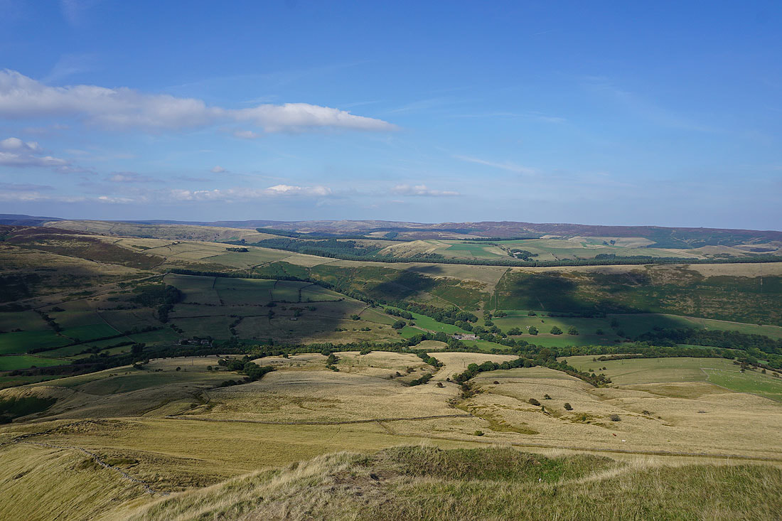
After a break for a bite to eat at the Penny Pot Cafe in Edale it's on with the walk as I follow the bridleway to Hardenclough Farm
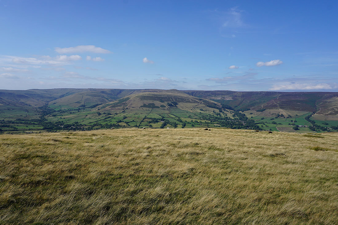
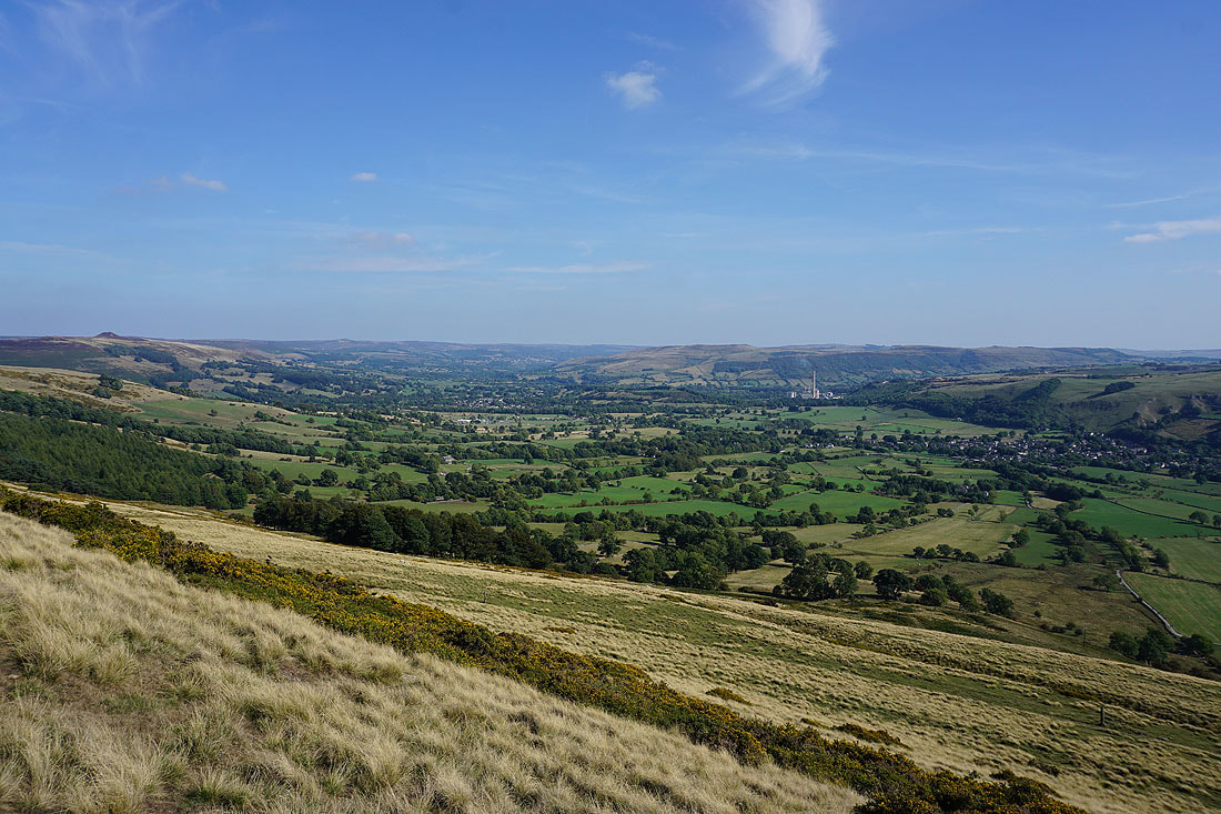
Looking back to Edale and Kinder Scout from the bridleway to Mam Nick..
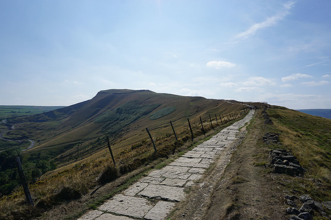
Winnats Pass as I make my way up to the summit of Mam Tor
Rushup Edge from a very busy summit of Mam Tor. There are crowds behind me.
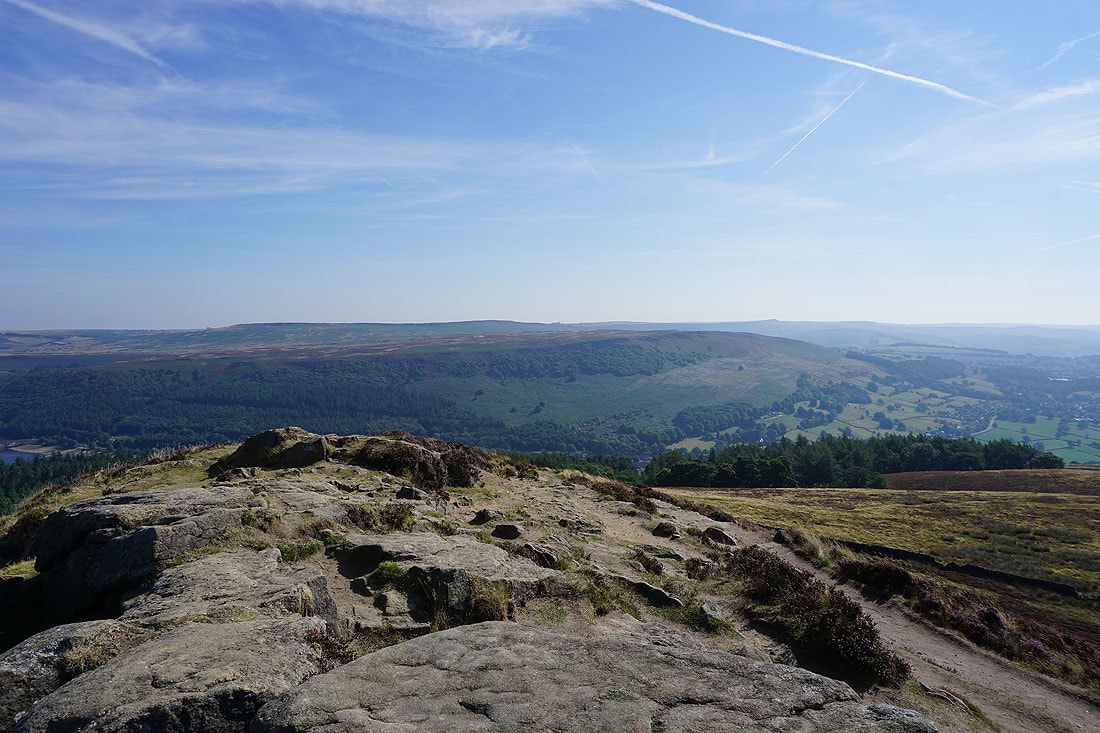
The head of Edale
Kinder Scout and Grindslow Knoll
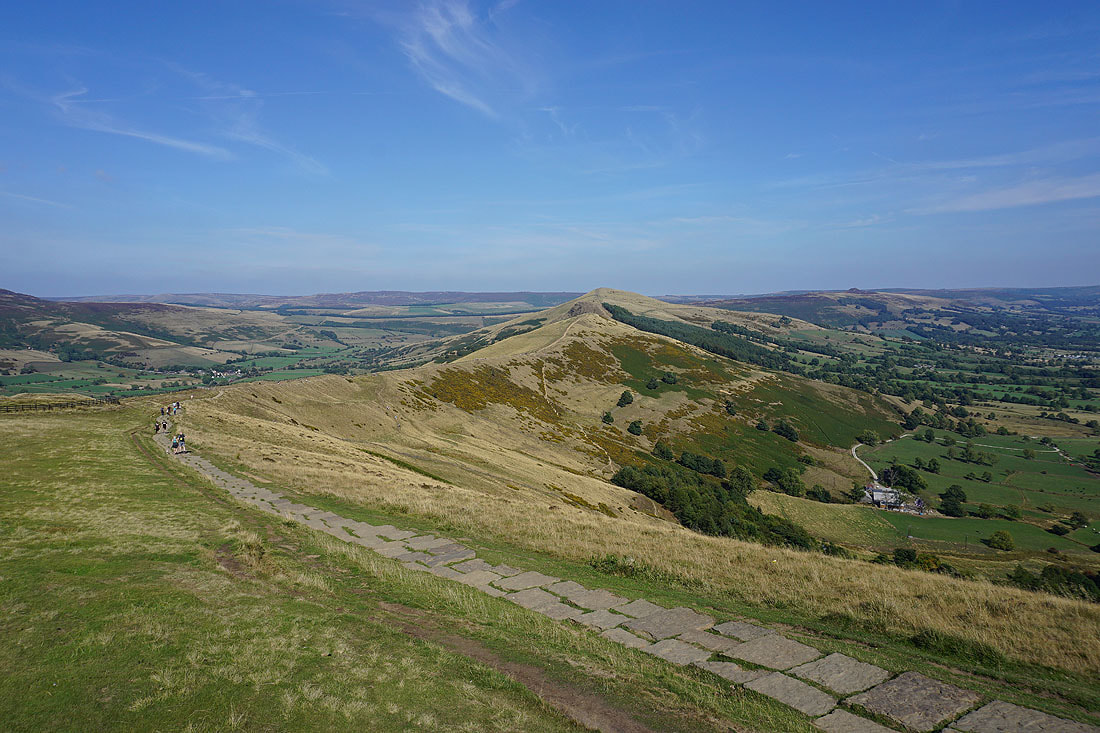
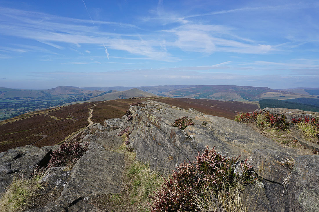
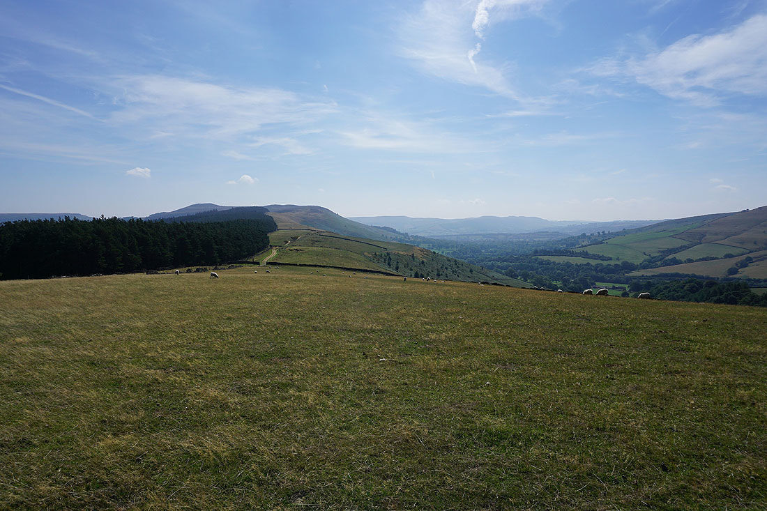
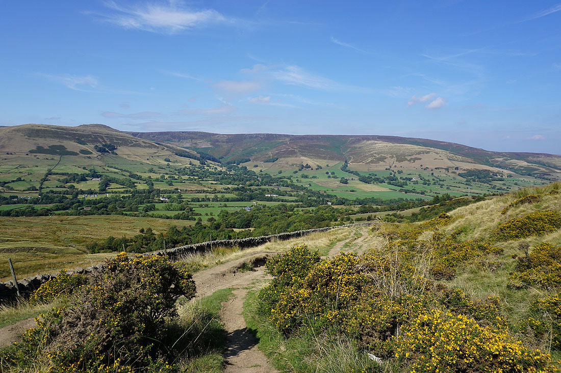
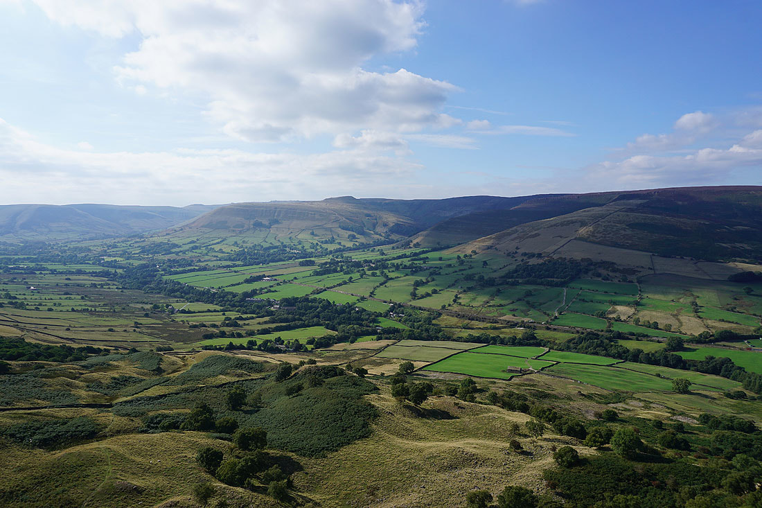
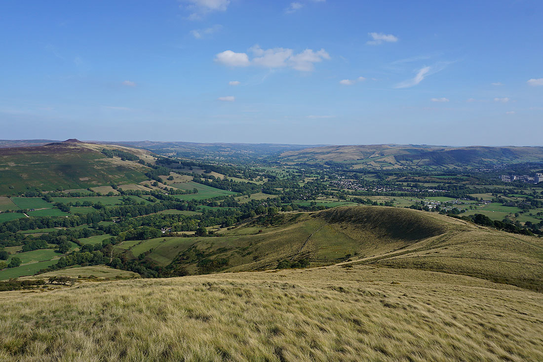
The Great Ridge to Lose Hill with Derwent Edge and Win Hill in the distance
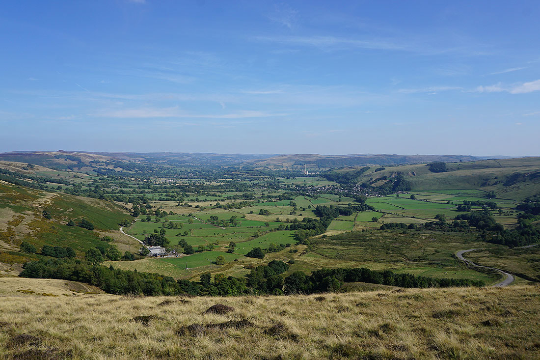
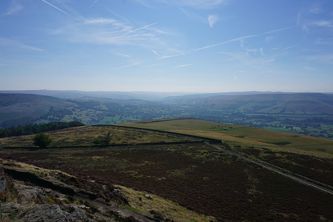
The Hope Valley and Castleton
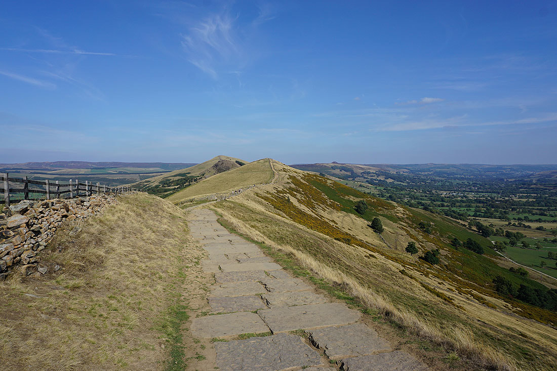
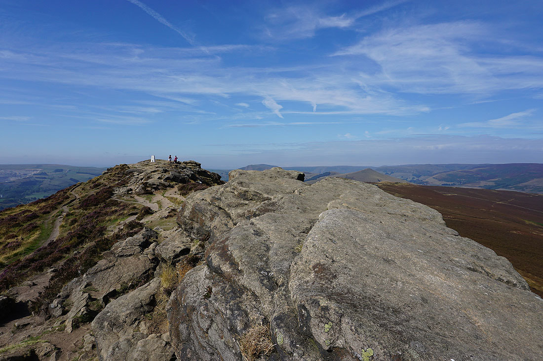
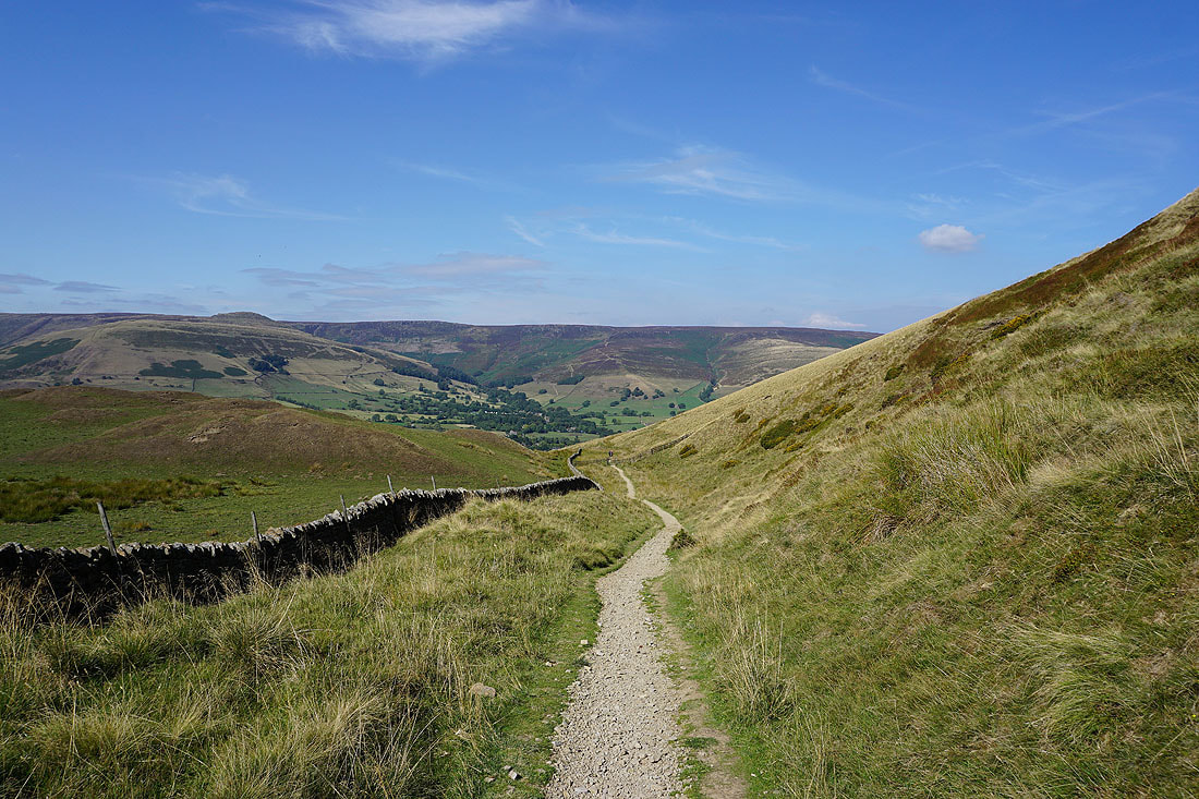
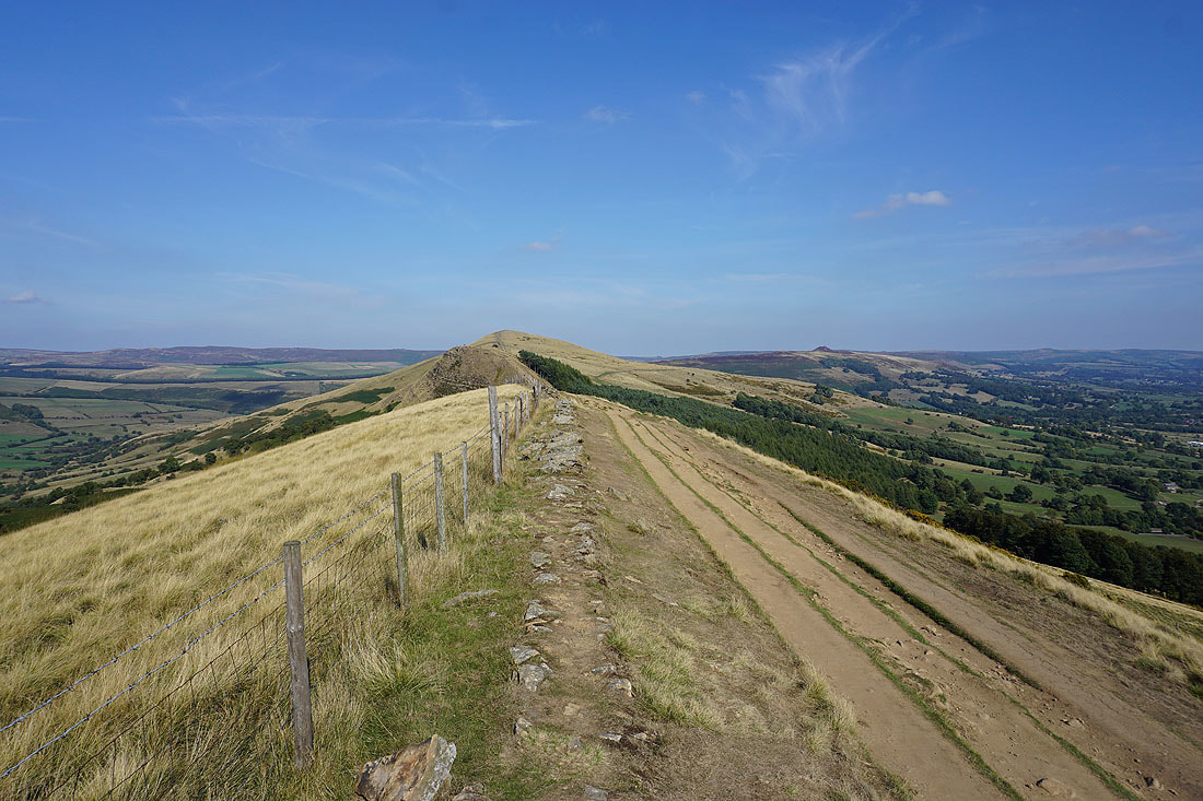
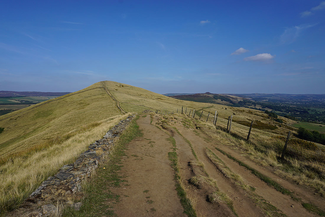
Mam Tor was left behind for the path along the ridge to Hollins Cross and Barker Bank
Looking back to Mam Tor
Grindslow Knoll, Edale and Kinder Scout from Hollins Cross
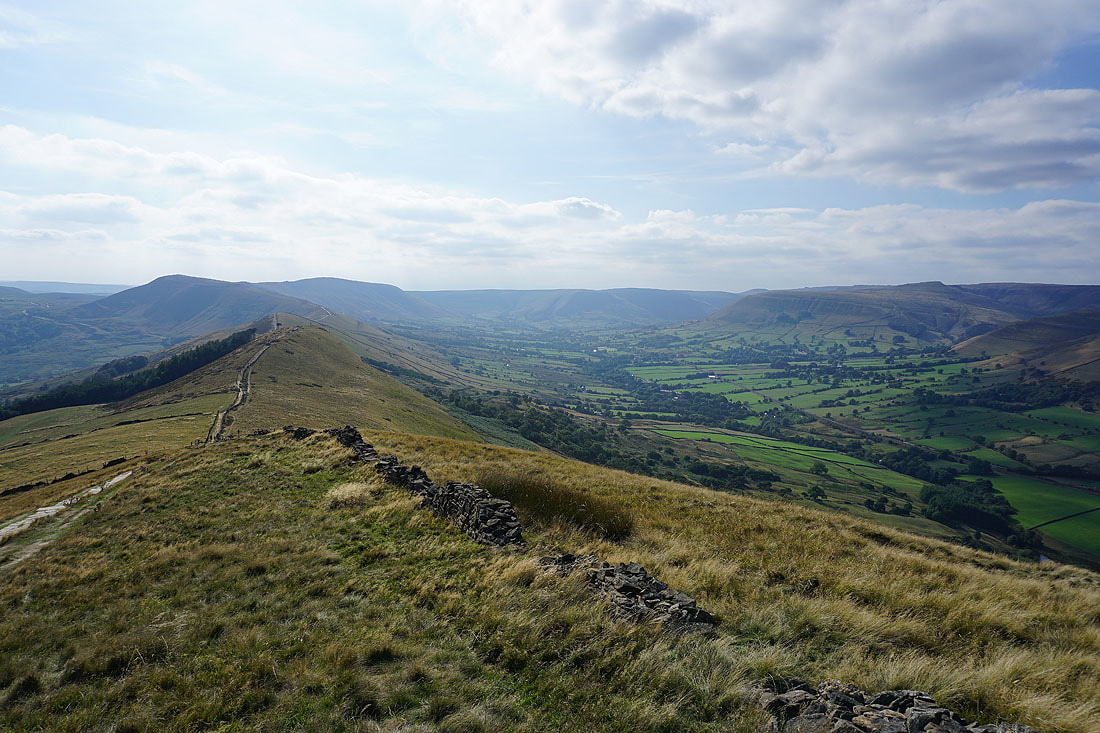
Back Tor and Lose Hill from Barker Bank
Win Hill, the Hope Valley, Shatton Moor and Castleton
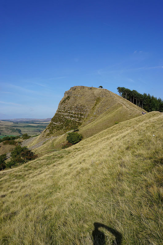
There's a steep climb to come to reach the top of Back Tor
Barker Bank, Mam Tor and the Vale of Edale from Back Tor
Edale and Kinder Scout
On my way to Lose Hill
The Great Ridge to Mam Tor and the Vale of Edale from Lose Hill
Hope, Shatton Moor and the Hope Valley
Castleton, the Hope Valley and Mam Tor
Looking across the Vale of Edale to Kinder Scout
Back Tor and Derwent Edge in the distance
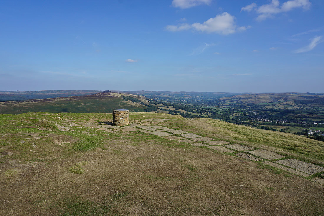
Win Hill with the toposcope on the summit of Lose Hill
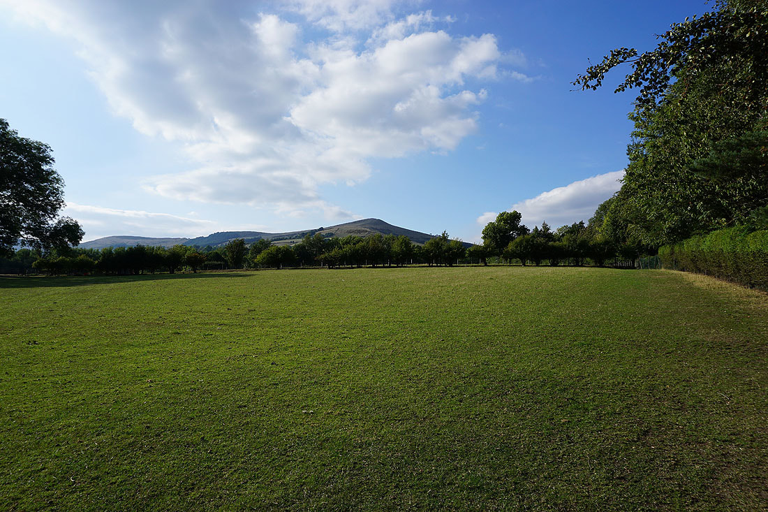
There's a great view of Win Hill and the Hope Valley as I start my descent back to Hope..
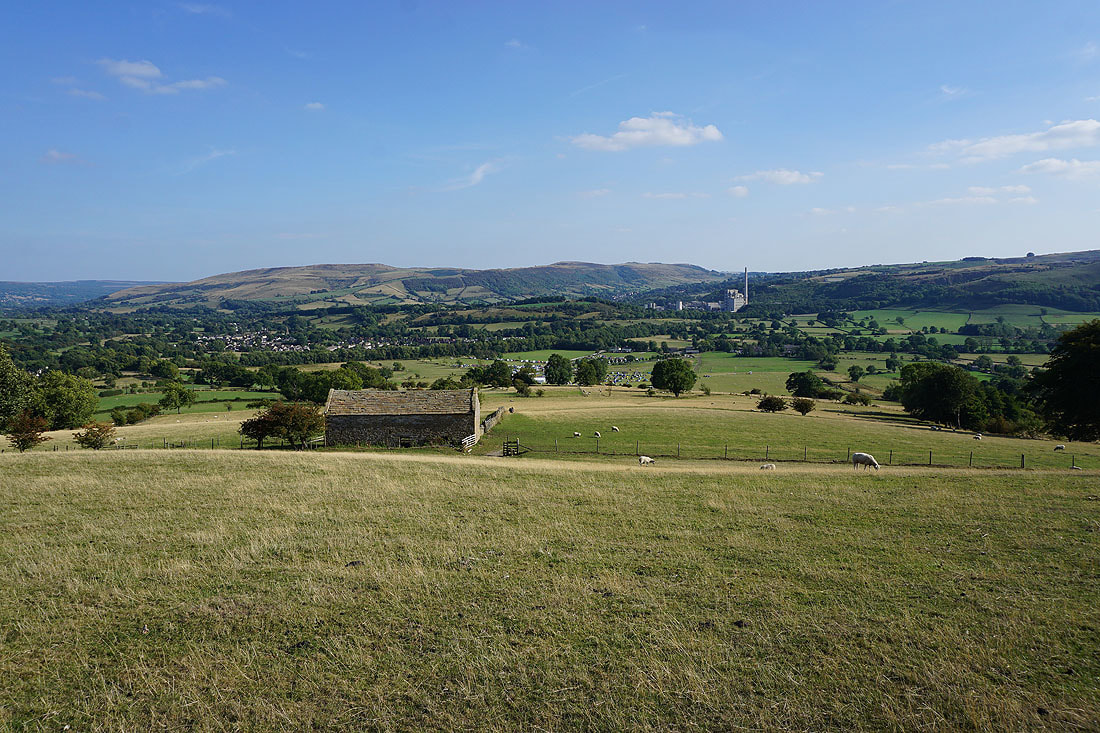
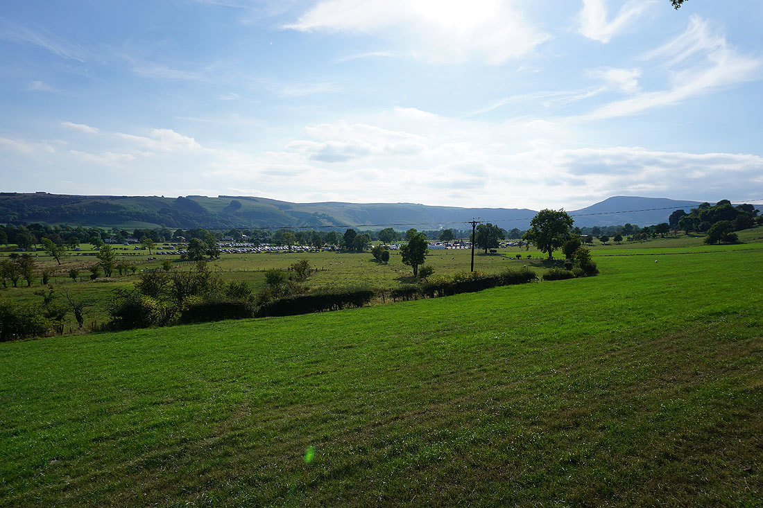
That large car park in the fields just a little further up the valley is for the charity walk
A last look back to Lose Hill before I reach Hope