20th April 2013 - Blencathra plus other northern fells
Walk Details
Distance walked: 10.1 miles
Total ascent: 3428 ft
OS map used: OL5 - The English Lakes, North-eastern area
Time taken: 7.5 hrs
Route description: Mungrisdale-Bowscale Fell-Bannerdale Crags-Atkinson Pike-Hallsfell Top-Gategill Fell top-HallsFell Top-Scales Fell-Souther Fell-Mungrisdale
It's been three years since my last visit to these fells. How time flies. It's even longer ago for some of the other northern fells.
From the roadside in Mungrisdale I walked through the village and then tackled Bowscale Fell's east ridge with a detour to see Bowscale Tarn before reaching the summit. A short walk brought me to the next summit of the day, Bannerdale Crags. After having my sandwiches at the Glendermackin Col it was time to climb Blencathra. The summit, Hallsfell Top, was a very busy place today. My arrival seemed to coincide with a large organized group walk. I decided to let them have the summit and I went to Gategill Fell top until it had quietened down. It gave me an excuse to spend more time up there. The route back was down Scales Fell, across Souther Fell and a final descent to Mungrisdale.
Route map
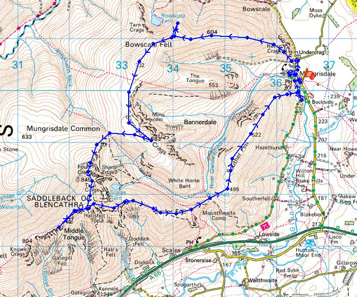
© Crown copyright. All rights reserved. License number PU 100034184.
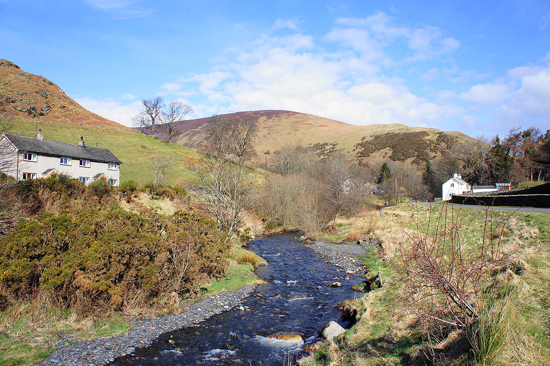
I'm starting the walk from beside the River Glendermackin as it passes through Mungrisdale. The slopes of Bowscale Fell, my route of ascent form the backdrop.
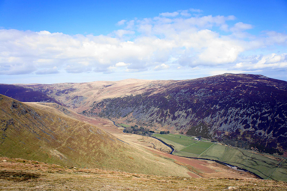
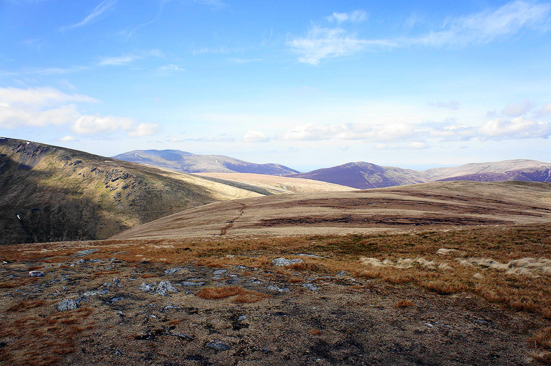
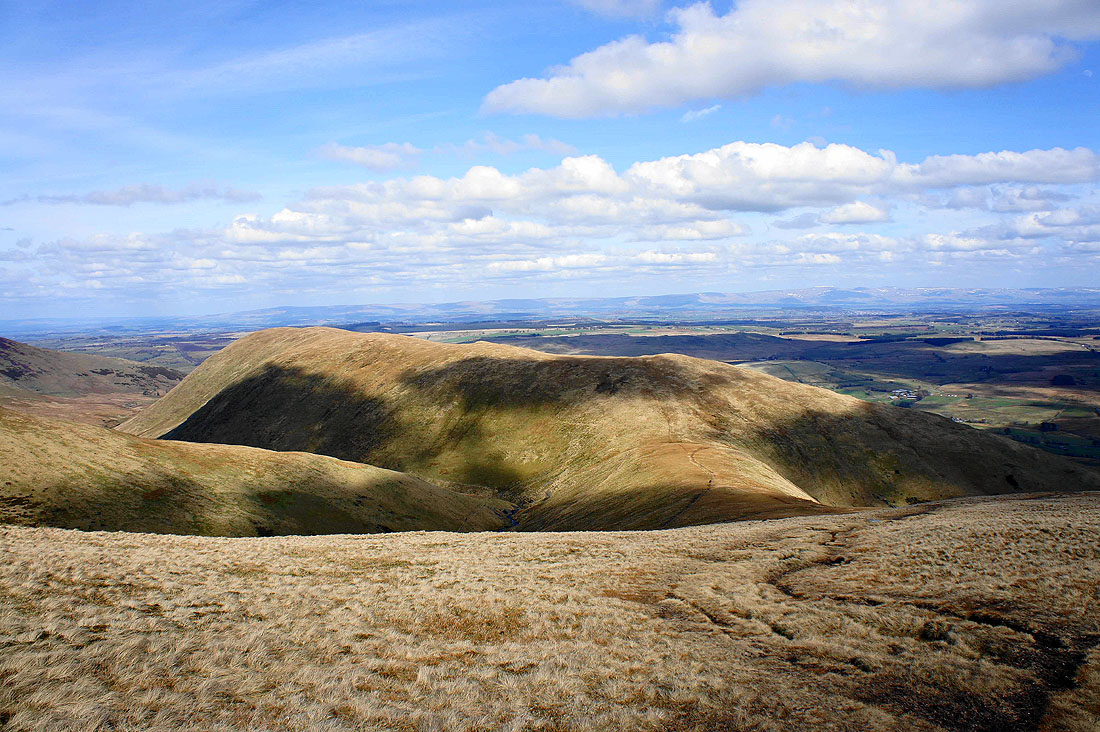
As I head for Bowscale Fell I'm treated to this fantastic view into Bannerdale. The Tongue is in the centre of the photo with the craggy outline of Bannerdale Crags in the background on the left.
Bannerdale again as I start the climb up Bowscale Fell. That's Souther Fell on the left, my last port of call and route of descent.
Mosedale and Carrock Fell are on the other side of Bowscale Fell
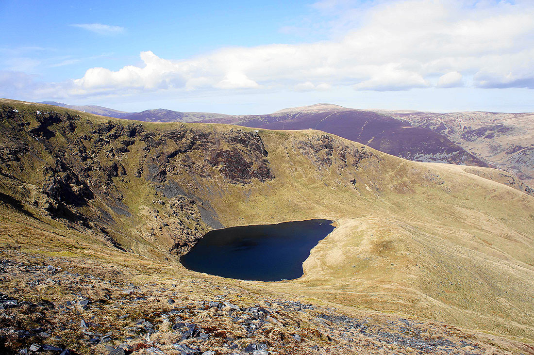
I made a detour en route to Bowscale Fell's subsiduary top to get this great view of Bowscale Tarn
The summit just ahead
Views from the summit of Bowscale Fell. Skiddaw and Great Calva with the valley of the River Caldew below.
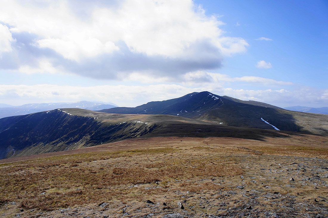
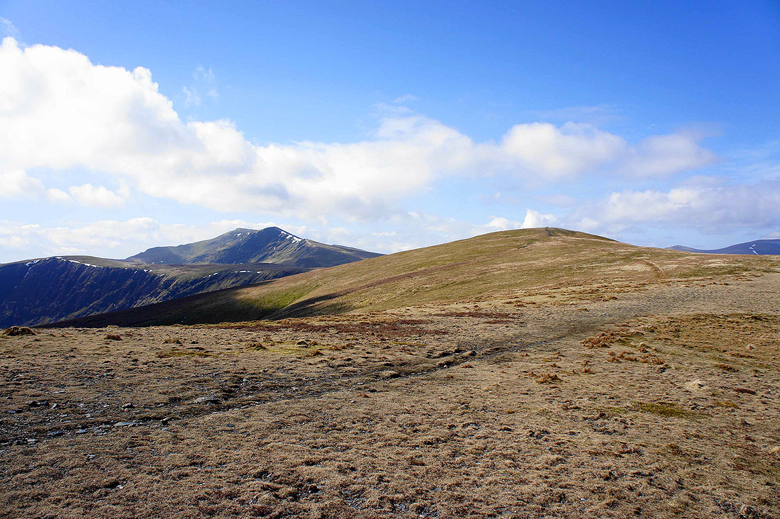
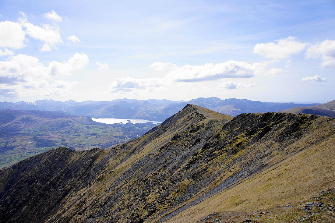
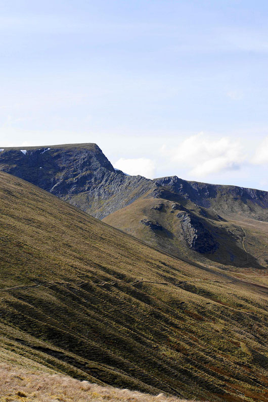
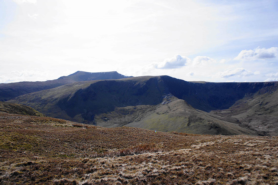
Bannerdale Crags on the left, my next summit and Blencathra, the high point of the walk behind
Now on the summit of Bannerdale Crags. Bowscale Fell is on the right while in the background on the left is Knott, the highest of the fells "Back o'Skidda".
The east ridge of Bannerdale Crags
A wider view of Bannerdale across to Souther Fell
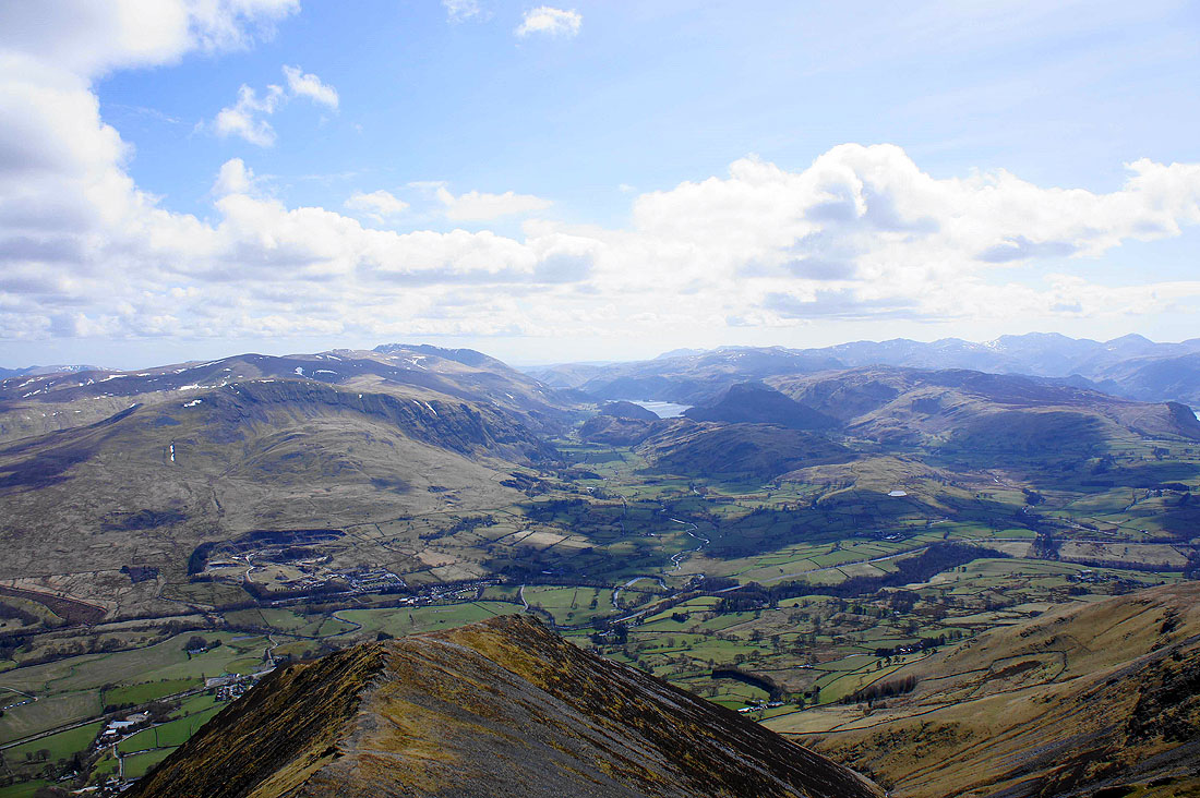
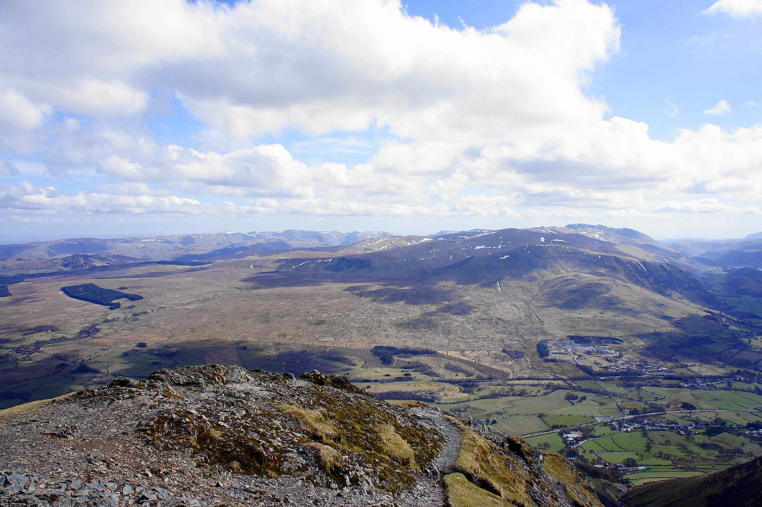
Blencathra's rising slopes on the left with Skiddaw and Great Calva in the distance
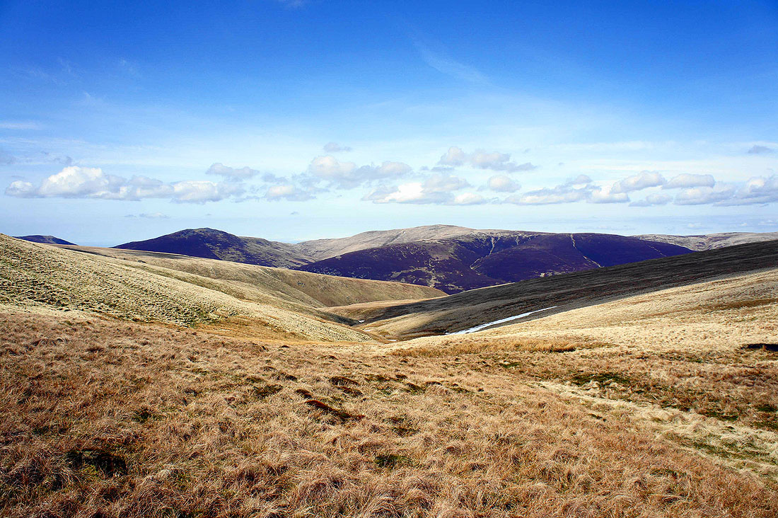
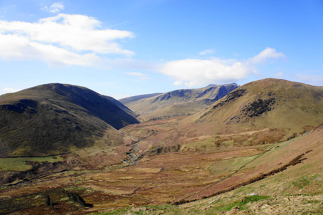
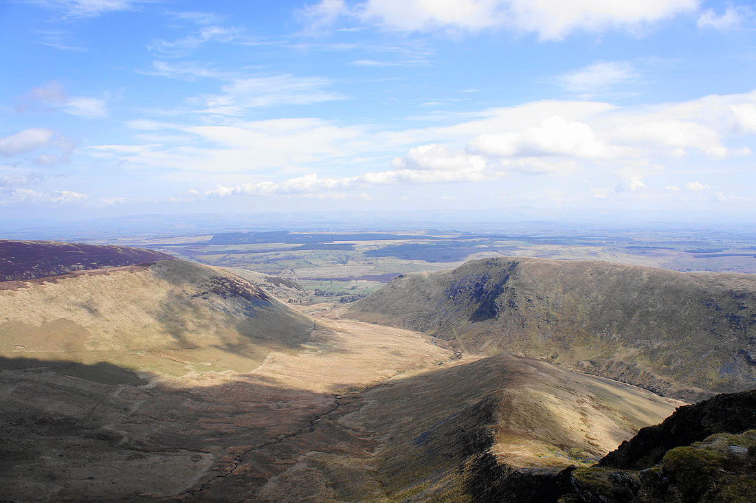
This was where I decided to have my lunch, at the Glendermackin Col. I knew the top of Blencathra would be windy and there isn't any shelter up there. That's Blackhazel Beck heading down to the Caldew.
Sharp Edge ascenders
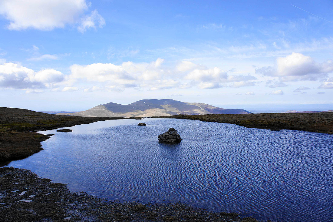
Passing Blencathra's summit tarn with Skiddaw in the background
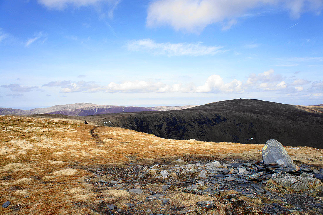
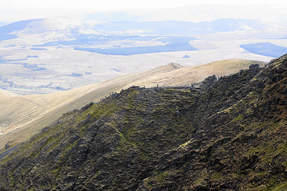
Heading for Gategill Fell top. I've already paid a visit to Hallsfell Top but I could see that the visibility was improving so I decided to go there and come back.
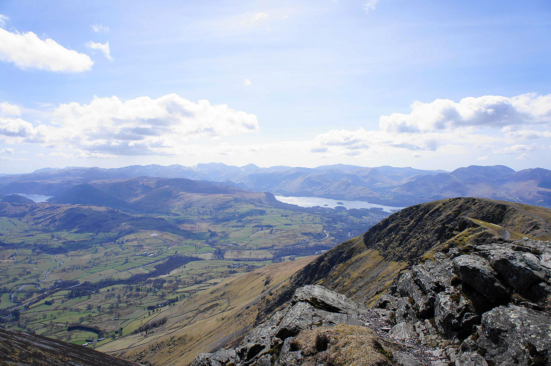
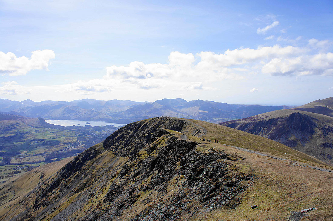
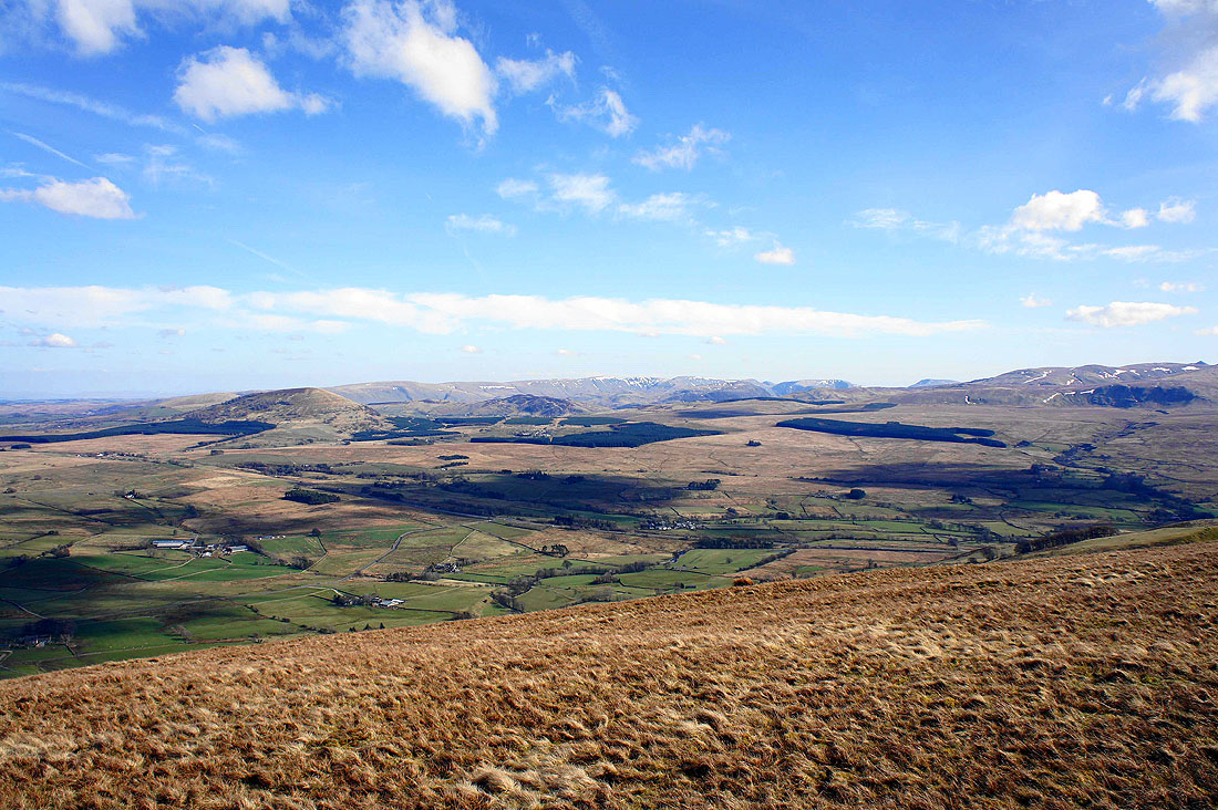
On Gategill Fell top and there are a multitude of fells to see. Derwent Water is the picture and that's Thirlmere on the left edge.
Zooming in to show the highest land in the country. From left to right; Crinkle Crags, Bow Fell, Esk Pike, Great End, Scafell Pike, Scafell, Lingmell, Great Gable and Kirk Fell. In the foreground are High Seat, Bleaberry Fell and Walla Crag of the Central Fells.
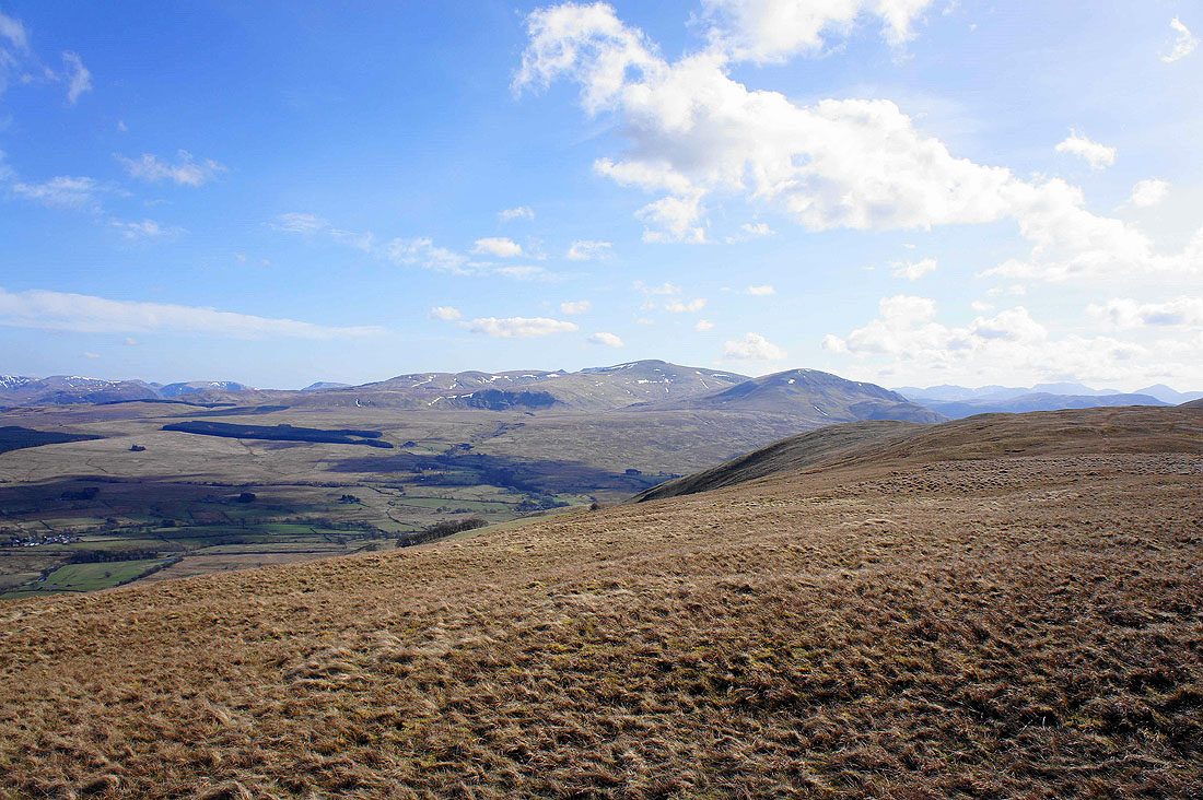
Gategill Fell below leads the eye to the Helvellyn range, St John's in the Vale and Thirlmere
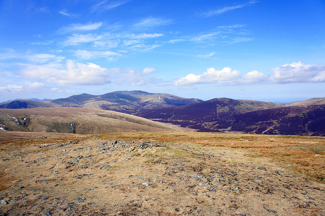
The northwestern fells including Causey Pike, Crag Hill, Grasmoor and Grisedale Pike are beyond the neighbouring Knowe Crags
Lonscale Fell, Skiddaw Little Man and Skiddaw
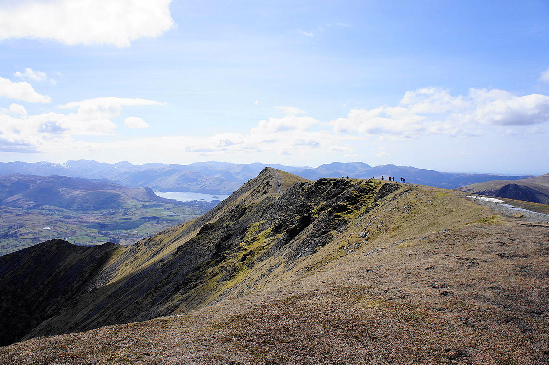
Looking across to Hallsfell Top, the high point of Blencathra
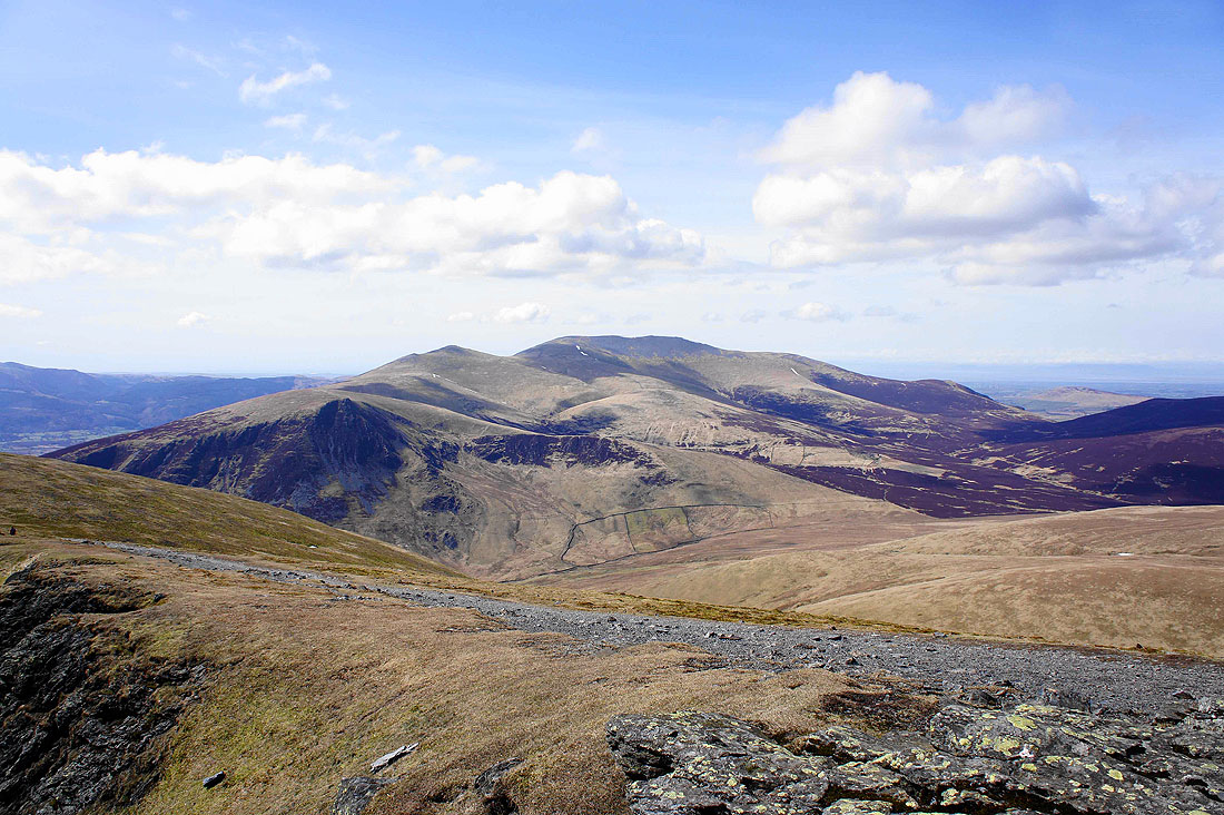
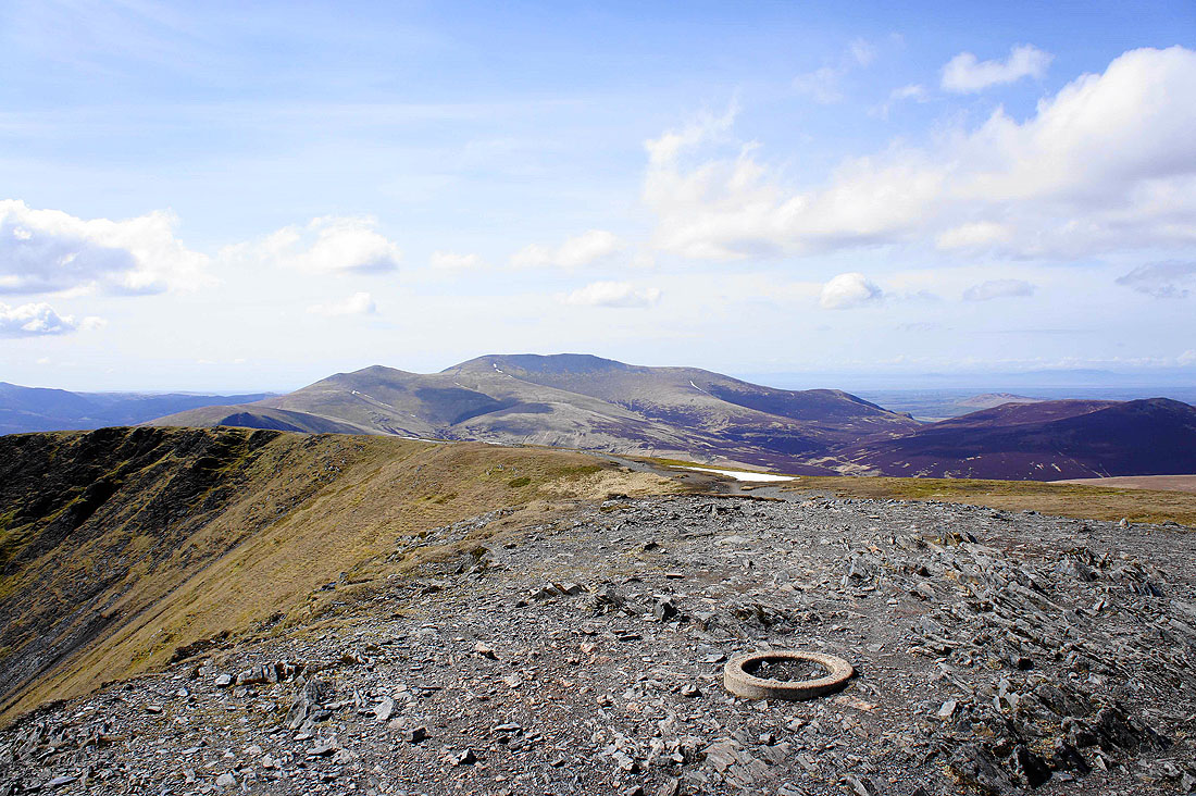
Back o'Skidda. Great Calva, Knott and High Pike.
Back on Hallsfell Top and time to capture the view. The summit ridge heading across to Gategill Fell top.
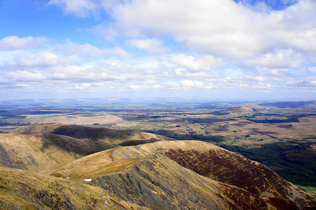
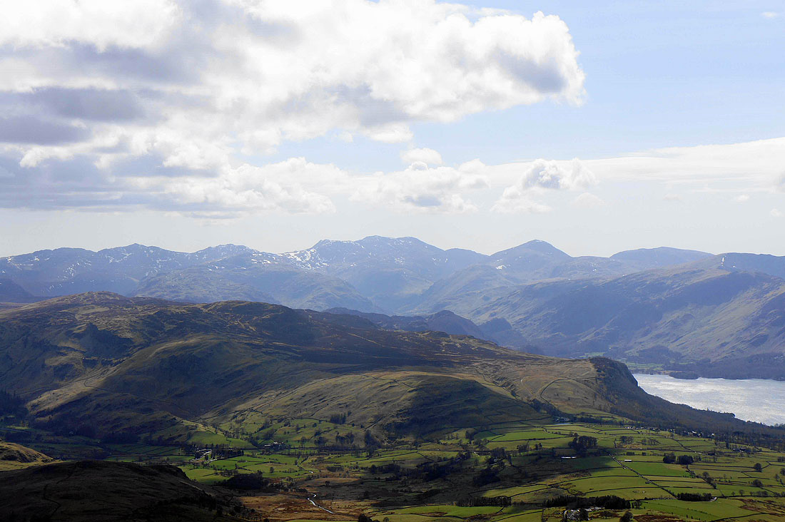
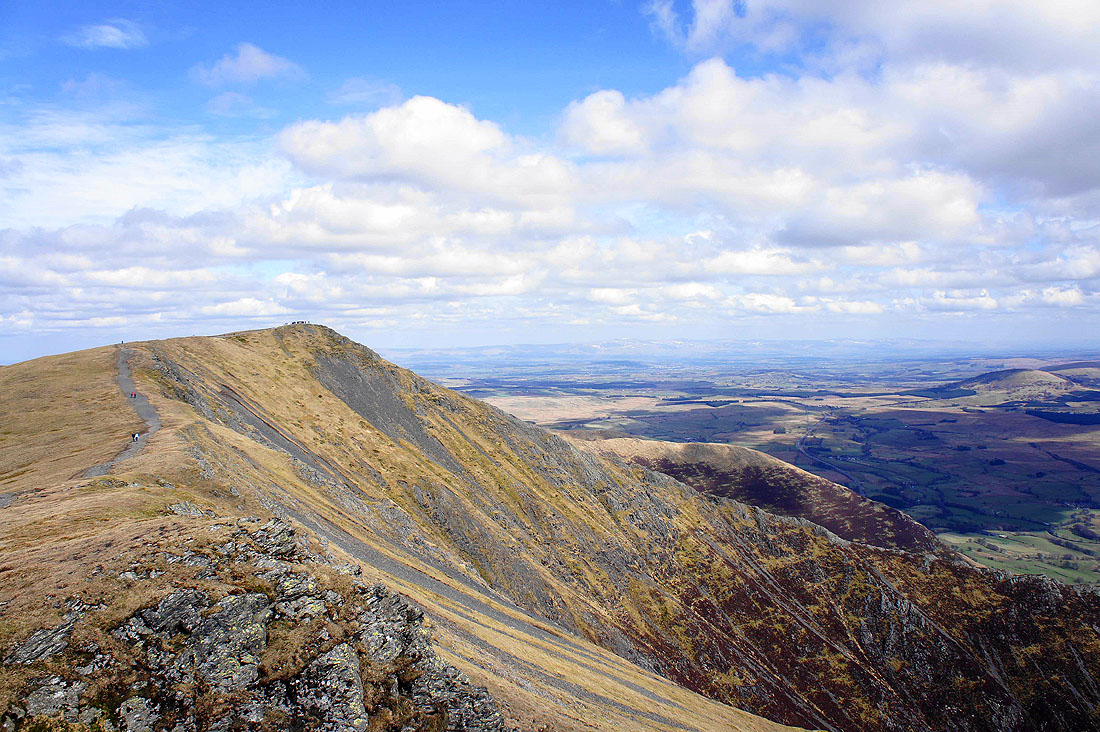
Scales Fell below with the North Pennines on the horizon beyond the Eden valley
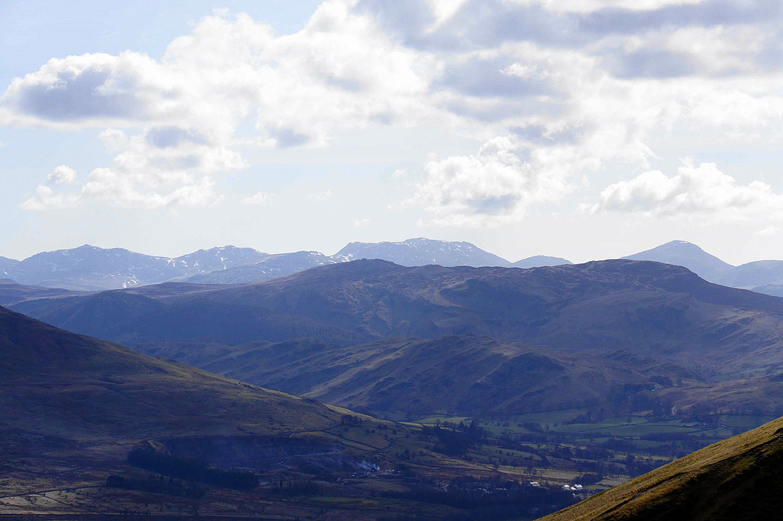
High Street and the far eastern fells in the distance on the left with the Helvellyn range on the right
Skiddaw with the sunken trig point in the foreground
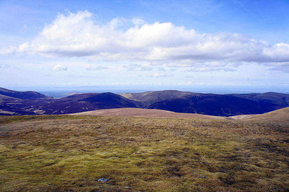
The Solway Firth can even be made out beyond Great Calva and Knott
Heading for Souther Fell
Sharp Edge
Turning around as I walk up Souther Fell and a gap in the hills permits a view of distant fells. A change of lenses to zoom in on Bow Fell, Esk Pike, Scafell Pike, Lingmell and Great Gable. High Seat and Bleaberry Fell are in the foreground.
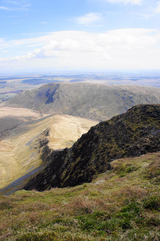
Blencathra and Bannerdale Crags from Souther Fell
Great Dodd and Clough Head of the eastern fells
High Street and the far eastern fells in the distance with Great Mell Fell and Gowbarrow Fell closer
Zooming in with the big lens. High Raise, Rampsgill Head and High Street.
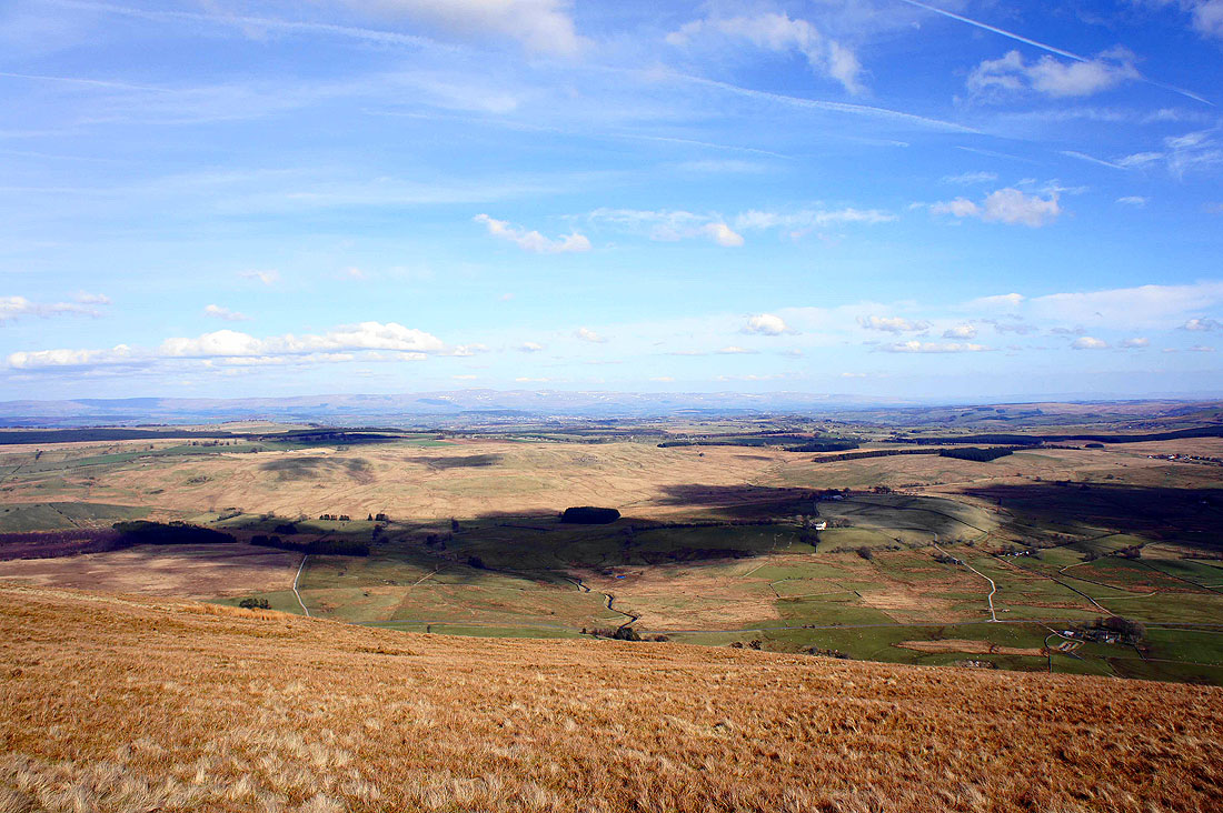
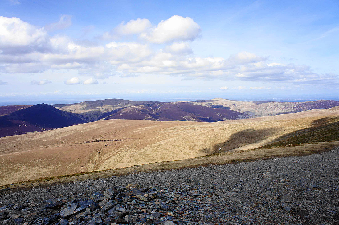
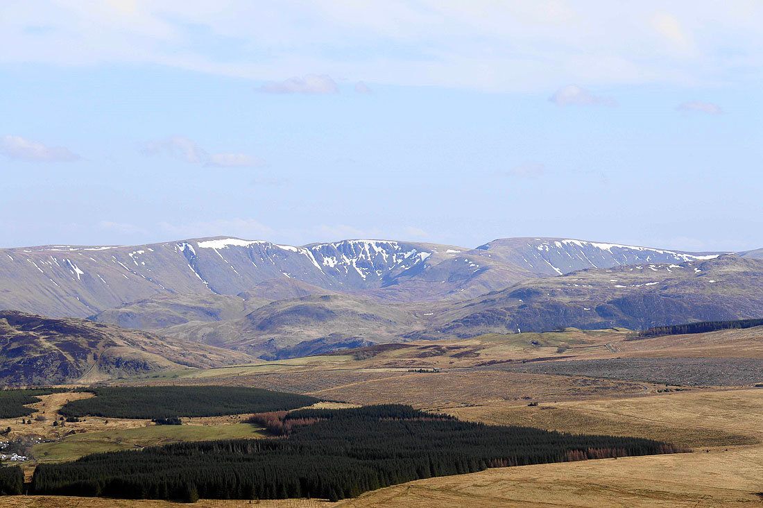
The North Pennines on the horizon beyond Eycott Hill and the Vale of Eden
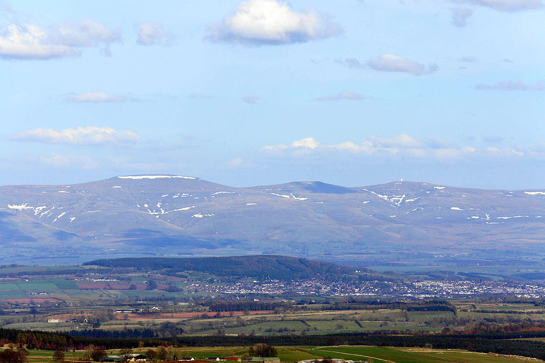
Cross Fell, Little Dun Fell and Great Dun Fell, the highest summits in the Pennines
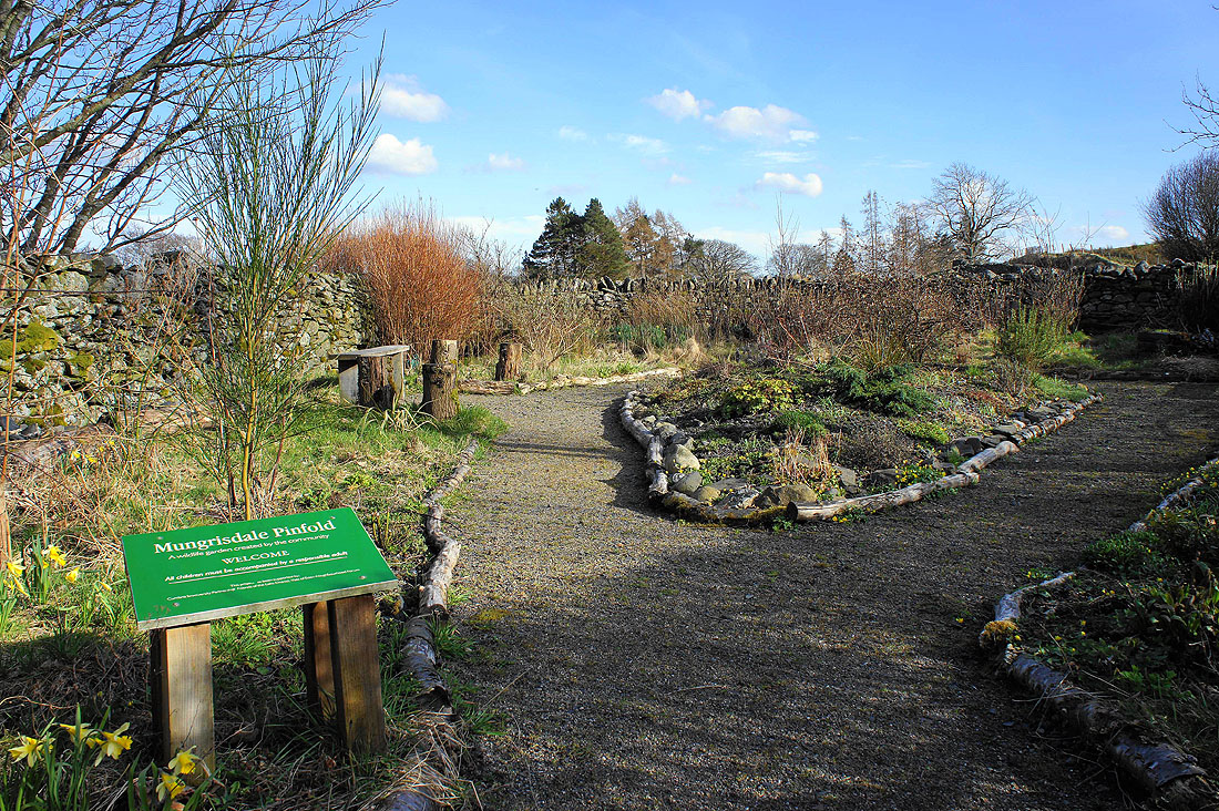
This is Mungrisdale Pinfold, a wildlife garden created by the local people
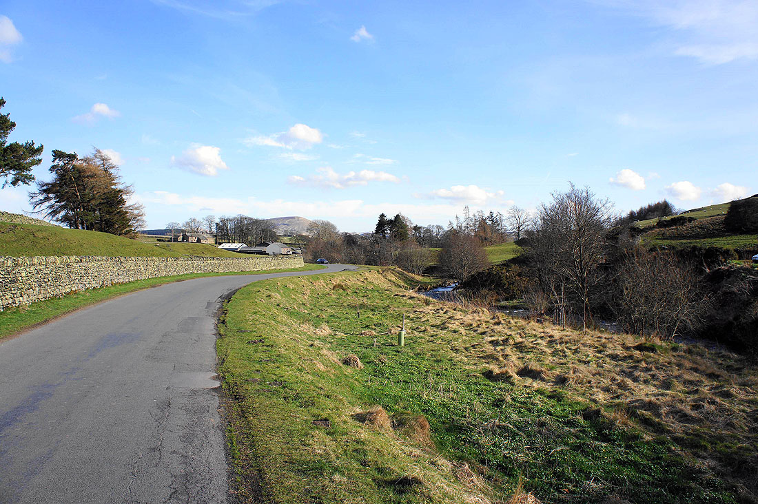
Back in Mungrisdale and walking to where I'm parked. I should have parked closer to the pub. After changing out of my boots and leaving my gear I'm going to walk back along the road for refreshments in the Mill Inn.