20th April 2019 - The Nidderdale Way and Dale Edge
Walk Details
Distance walked: 11.0 miles
Total ascent: 1909 ft
OS map used: 298 - Nidderdale
Time taken: 6 hrs
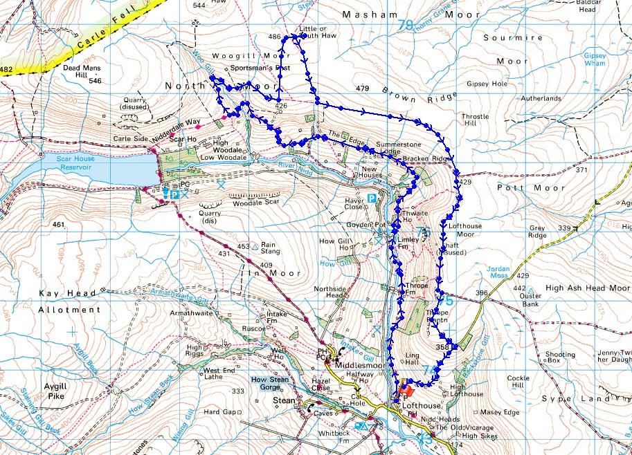
Route description: Lofthouse-Nidderdale Way-North Moor-Woogill Moor-Little Haw-Dale Edge-Lofthouse Moor-Thrope Edge-Trapping Hill-Lofthouse
This was my first ever walk in Nidderdale and it's been a long time coming. I'd managed to get it into my head that it was just too far away to consider driving there and back in the same day. It certainly isn't too far, especially if I have no problem going all the way up to Sedbergh to walk in the Howgills, or going to the southern Lakes, and after moving home I'm closer now as well. For my first walk I decided to head to Lofthouse, which is a village towards the top end of the dale, and do a route taking in part of the Nidderdale Way from Lofthouse and bridleways above the valley on my way back. I couldn't have asked for better weather, with clear blue skies and sunshine all day long it felt more like early summer than mid-spring and there were temperature records broken for Easter. I particularly enjoyed walking the bridleways along Dale Edge and Thrope Edge, there were fantastic views of Nidderdale from them. A toffee flavoured Meadow Dale ice-cream was had post-walk in Lofthouse. Very good it was too.
From the car park by the memorial hall in Lofthouse I walked north along the road out of the village until I reached the right hand bend where the road starts to climb steeply up Trapping Hill. This is where the Nidderdale Way leaves the road and continues north. So, for several miles I followed the trail up the valley, along Thrope Lane to Thrope Farm, to Limley Farm, then up to Thwaite House to continue along the side of the valley to Bracken Ridge, then westward past Summerstone Lodge and New Houses Edge Farm, and up to Thornet Barn to where Twizling Gill and Woo Gill are crossed. This was where I finally left the trail and took a shooters track north above the western side of Woo Gill, and what looked like a path on the map across Woo Gill to the bridleway on Woogill Moor. It was more trouble than it was worth and I should have stuck to the bridleways. Once on it I followed the bridleway east across Woogill Moor, passing the disused shaft on the map, until I reached a shooters track by a wall, which took me up to the top of the moor just to the west of Little Haw. After a short climb I was on the top of Little Haw. From Little Haw I made a short descent to the west to pick up the bridleway south back towards Nidderdale. This bridleway met the one I was on earlier on Woogill Moor. I turned left and followed it east to Dale Edge, then south to Lofthouse Moor and along Thrope Edge to a shooting house. Just past this as the bridleway heads east I went through a gate on the right and took the bridleway south down to the road down Trapping Hill. I then walked down the road, taking the short-cut of a footpath down a couple of fields, back to Lofthouse.
Route map
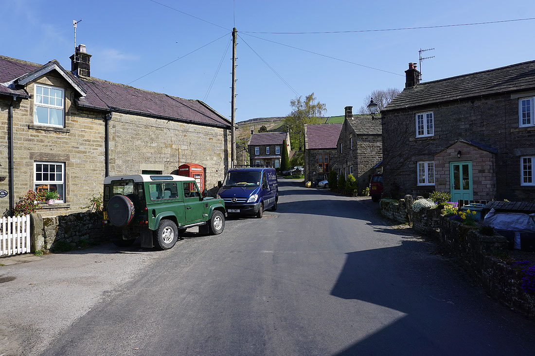
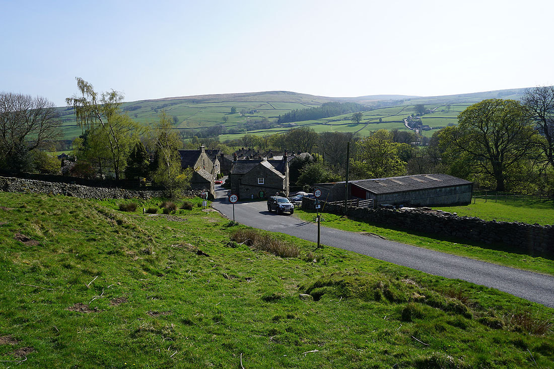
Setting off from the lovely little village of Lofthouse
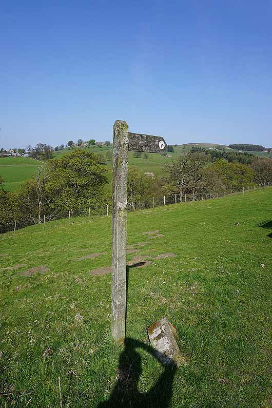
I leave the village on the trail of the Nidderdale Way
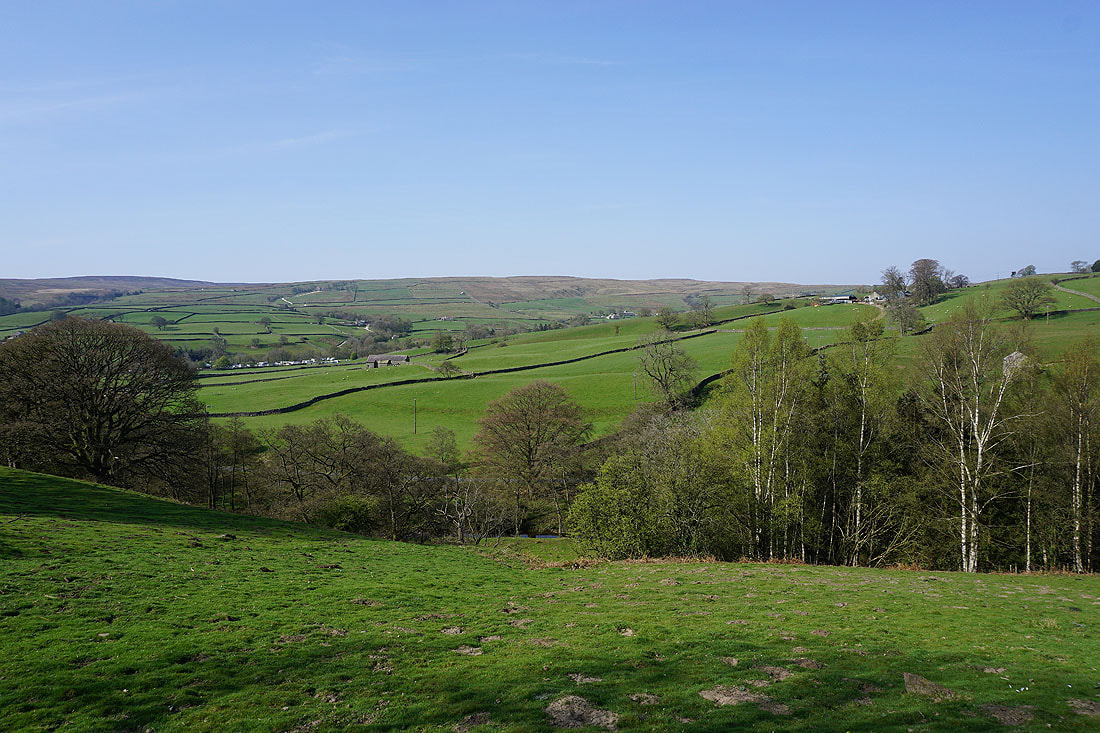
Looking west across the valleys of the River Nidd and How Stean Beck
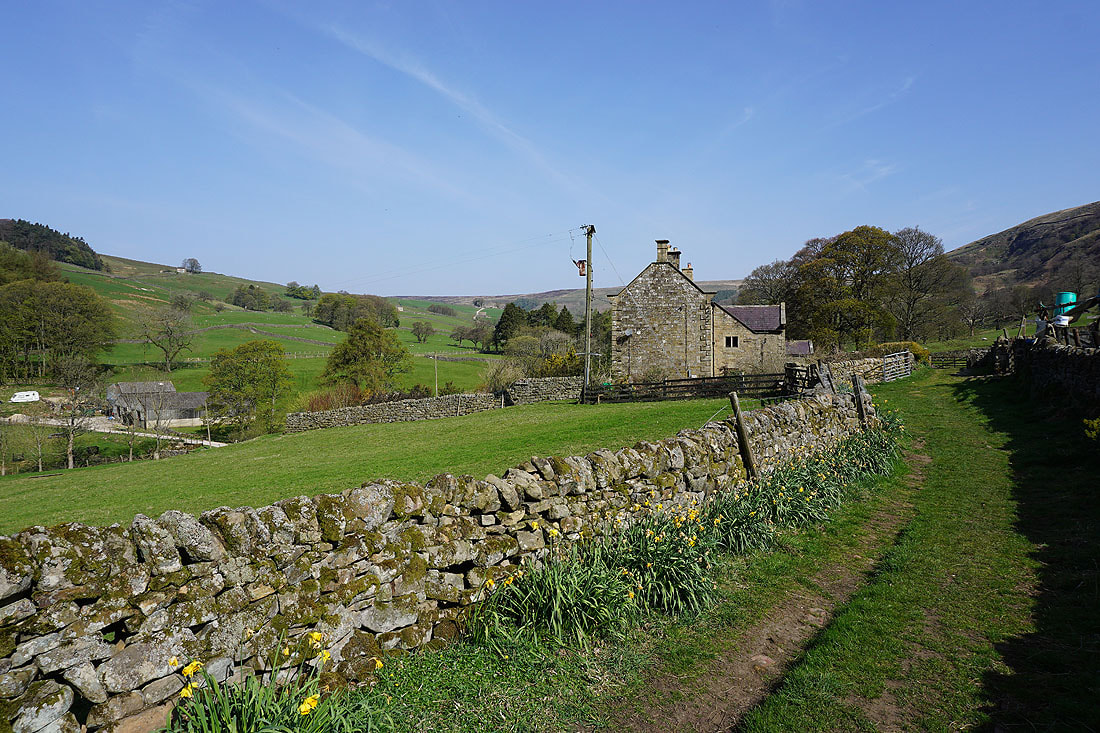
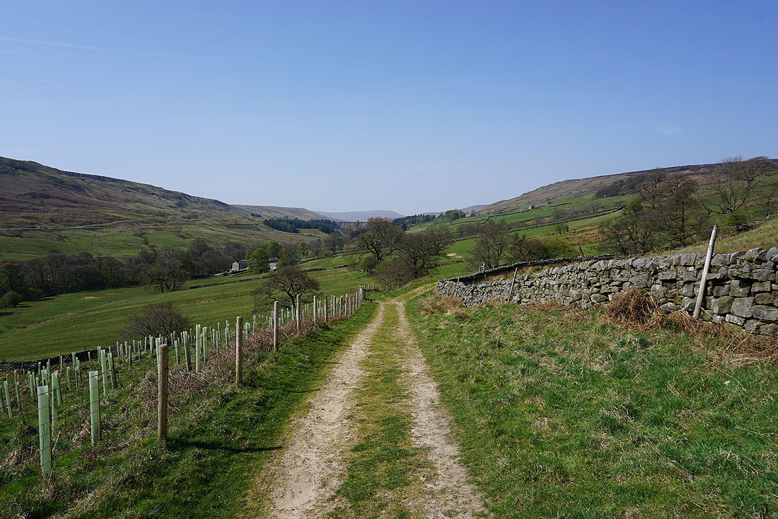
It's a beautiful morning as I follow the Nidderdale Way north along Thrope Lane to Thrope Farm...
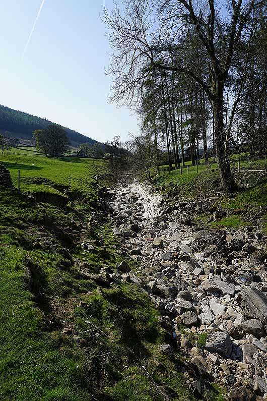
The trail crosses the dry riverbed of the Nidd at the appropriately named Dry Wath..
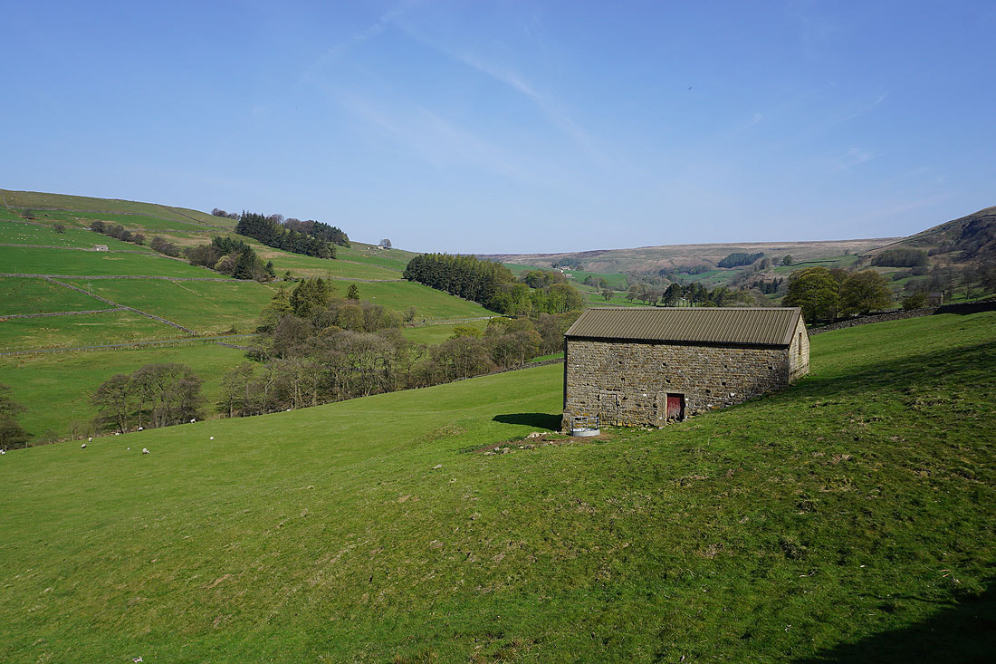
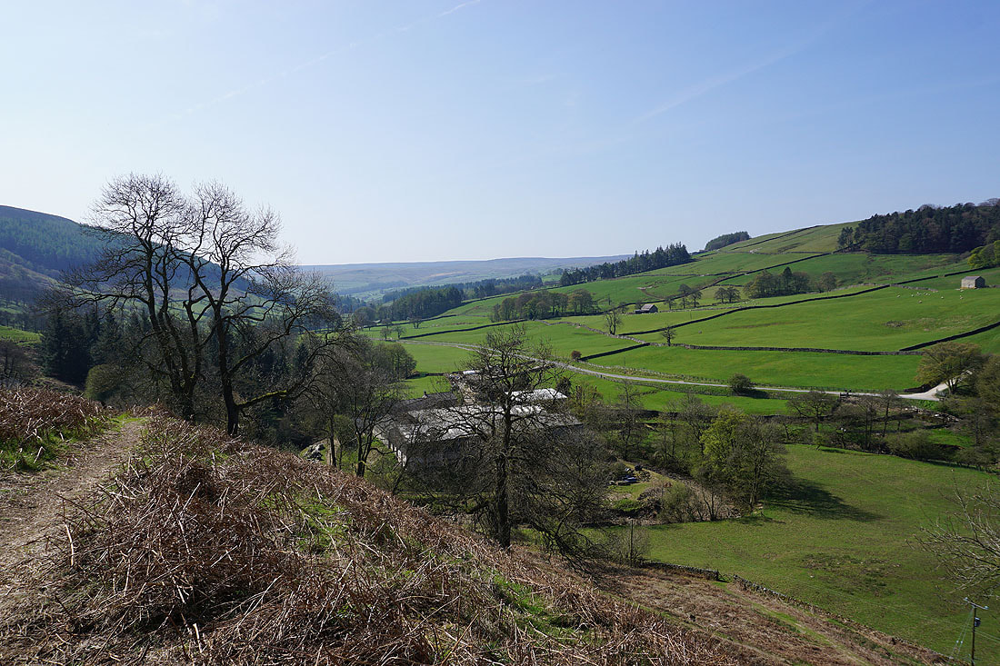
Looking down Nidderdale from above Limley Farm
Nidderdale from Thwaite House
There are great views of Nidderdale to my left as the trail curves round to the west...
Looking down Nidderdale
and up the dale past Summerstone Lodge
The trail has dropped closer to the valley floor for a while
It soon returns to its more elevated course, from which I can see Scar House Reservoir and Great Whernside at the head of the valley
Approaching the valley of Woo Gill
Looking across Nidderdale to Woodale Moss from the bridleway on Woogill Moor
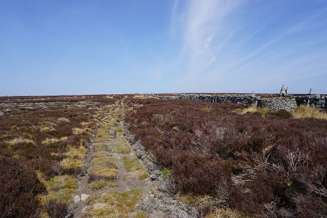
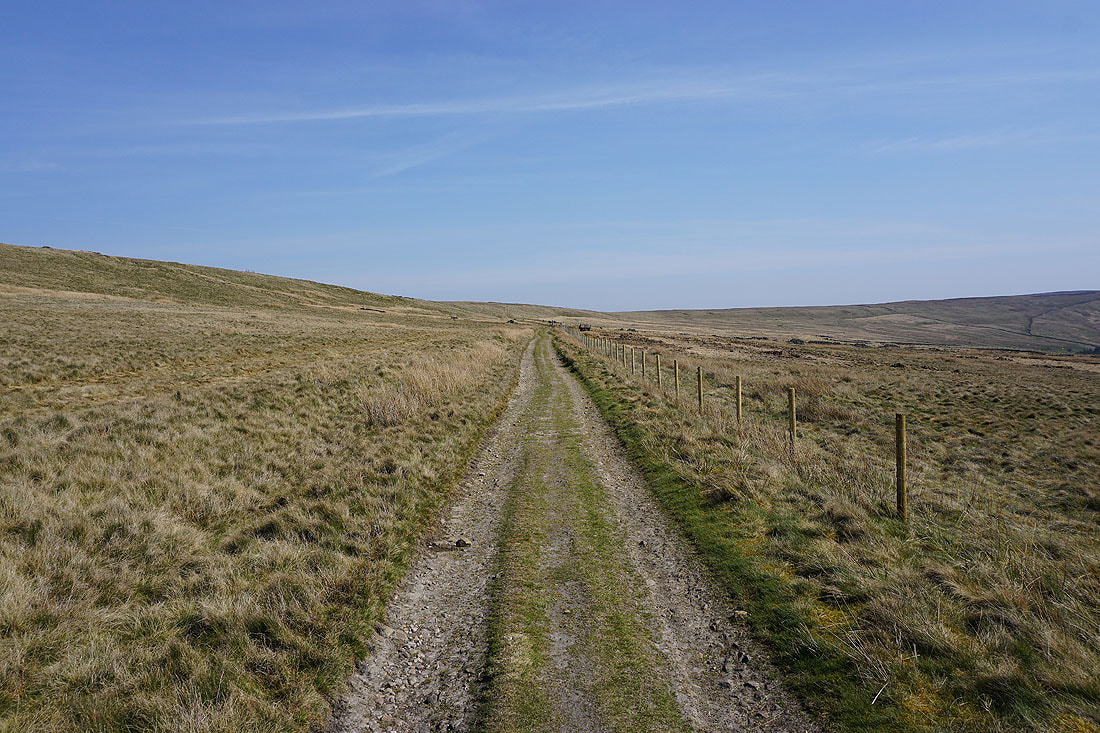
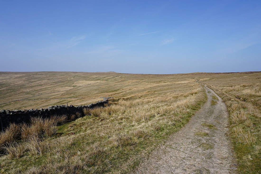
That bridleway was left for a shooters track up to Little Haw
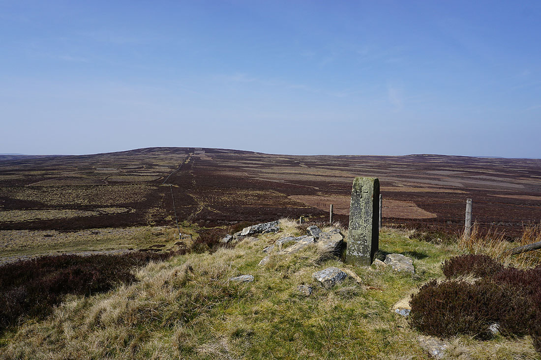
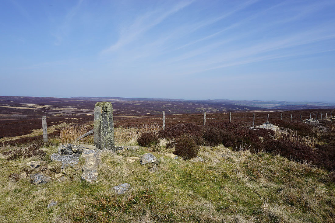
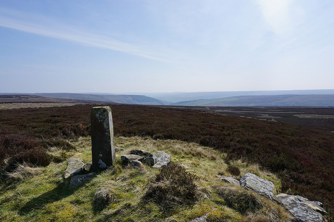
Great Haw from the top of Little Haw. The boundary stone has "T.York. Netherdale Forest." inscribed on this side and "Danby Mashamshire" on the other.
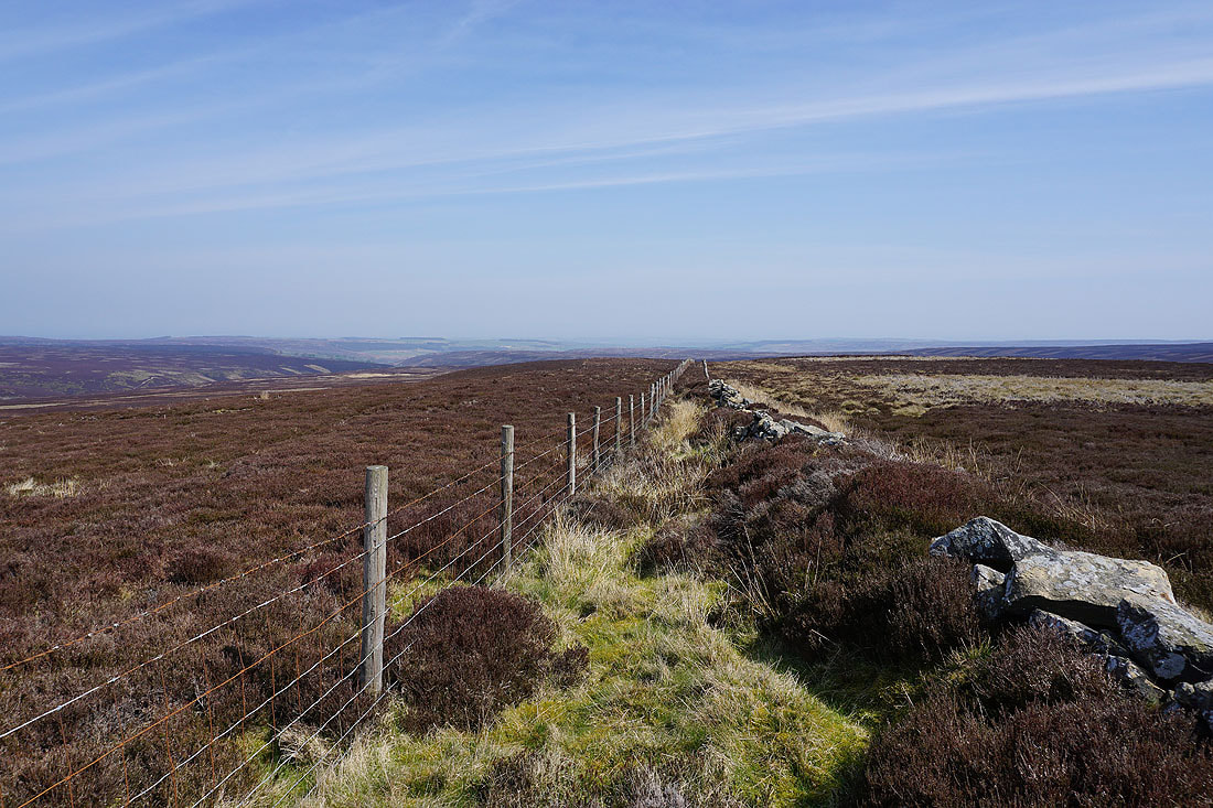
Looking north across the moors separating Nidderdale and Coverdale
Then east across Masham Moor
and south down Nidderdale
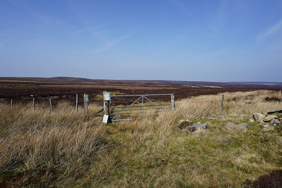
At the top of the bridleway just to the west of Little Haw. Going north there are two bridleways, one to West Scrafton in Coverdale and the other ends up in Colsterdale. I'm going south, back down to Nidderdale.
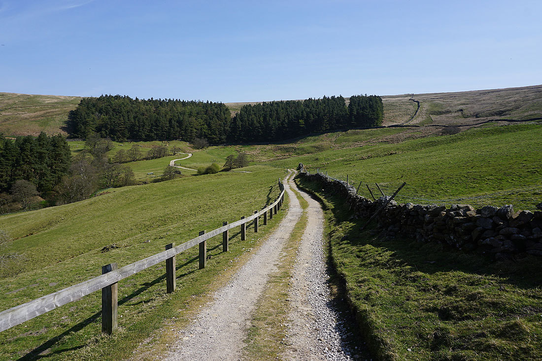
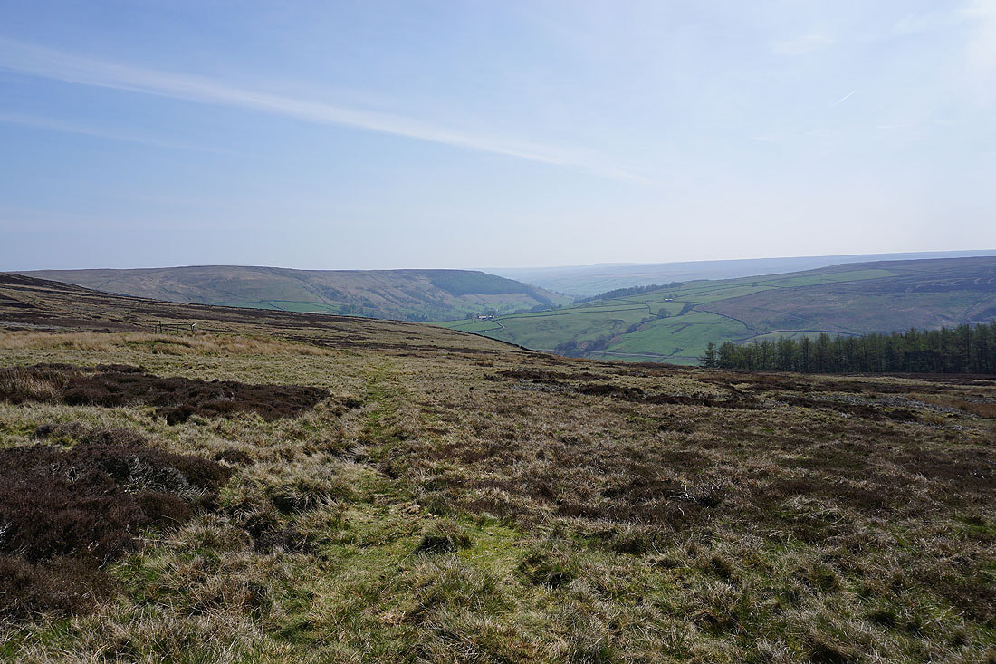
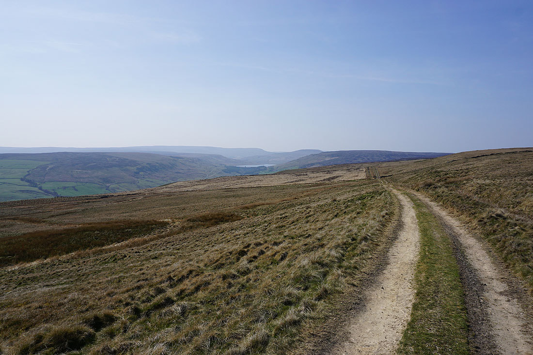
On that bridleway down to Nidderdale
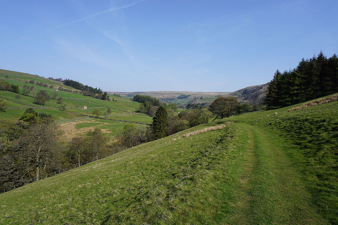
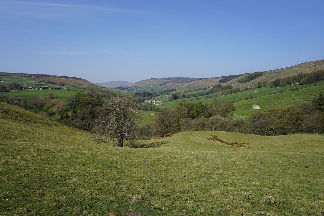
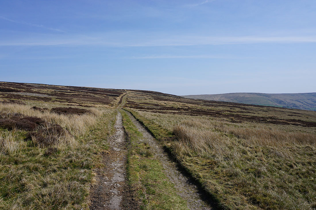
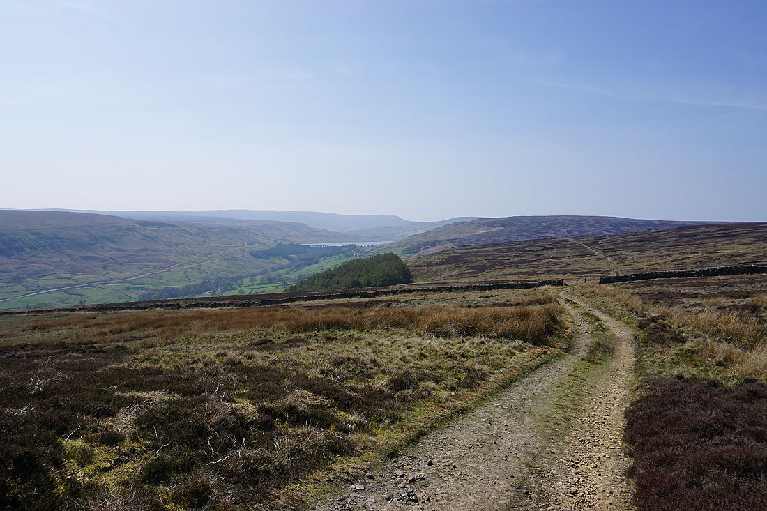
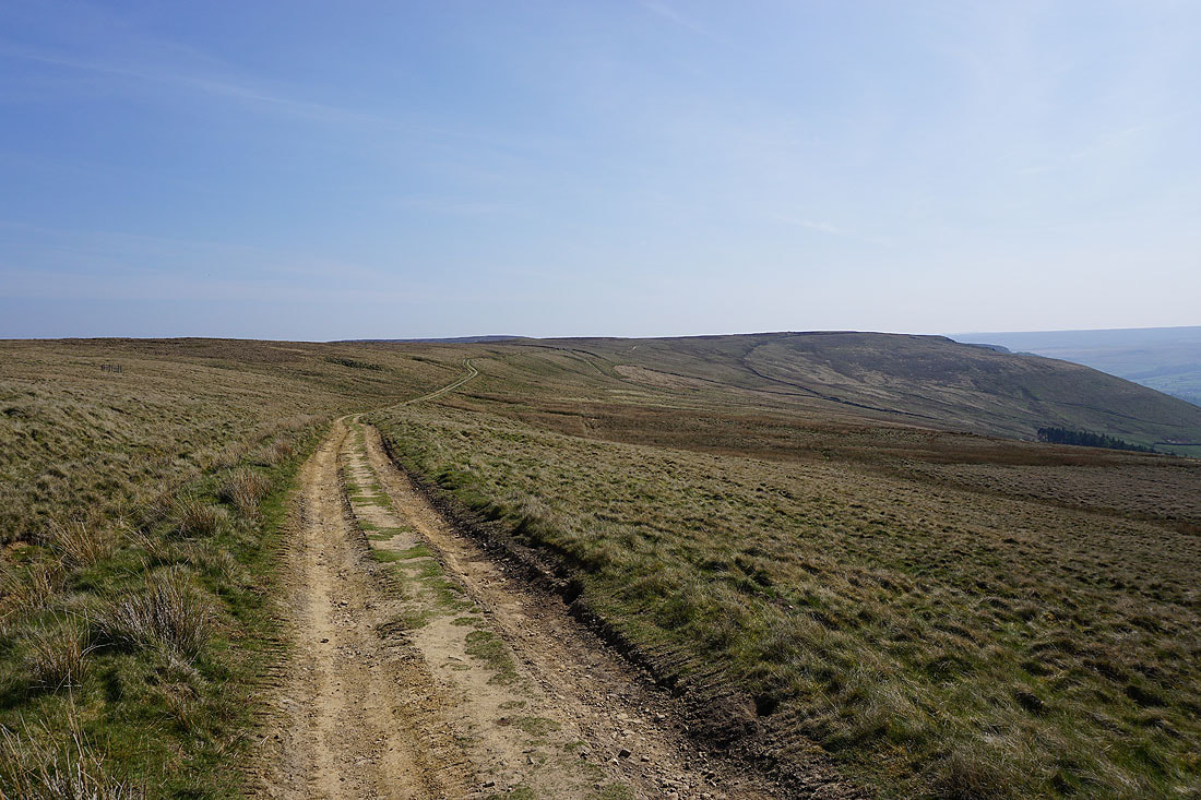
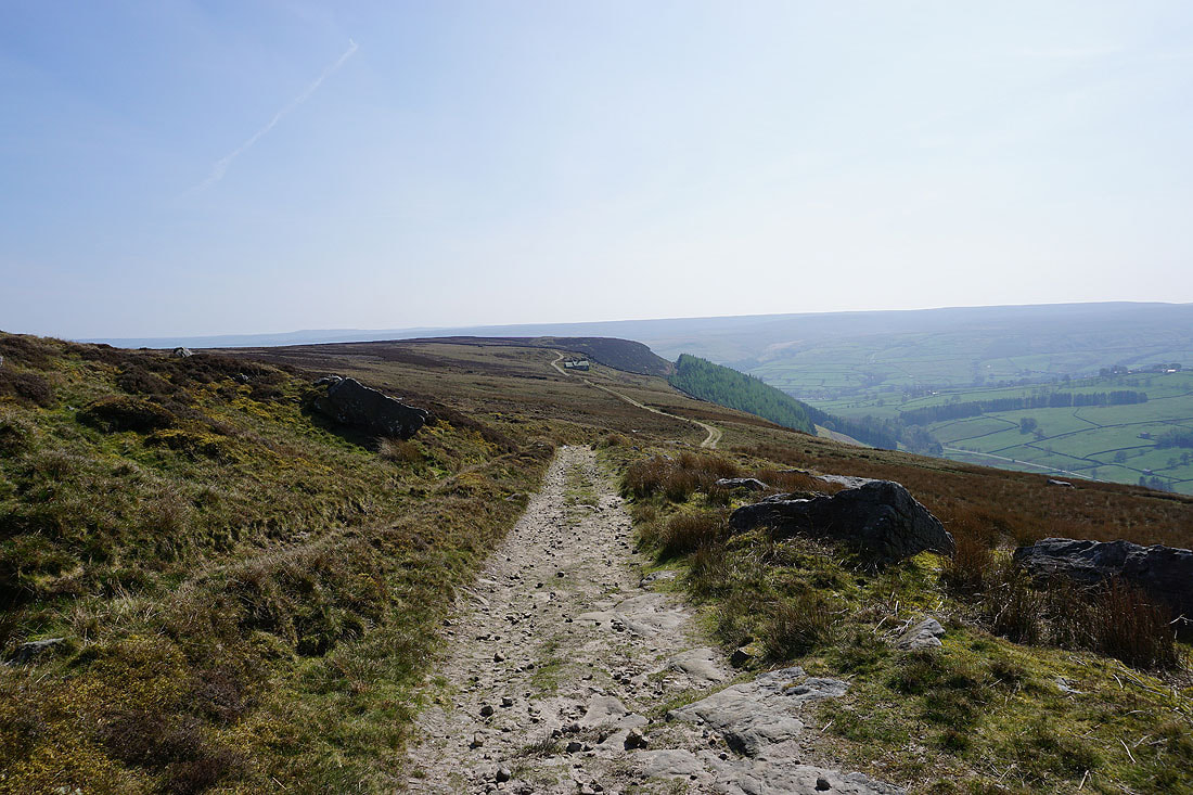
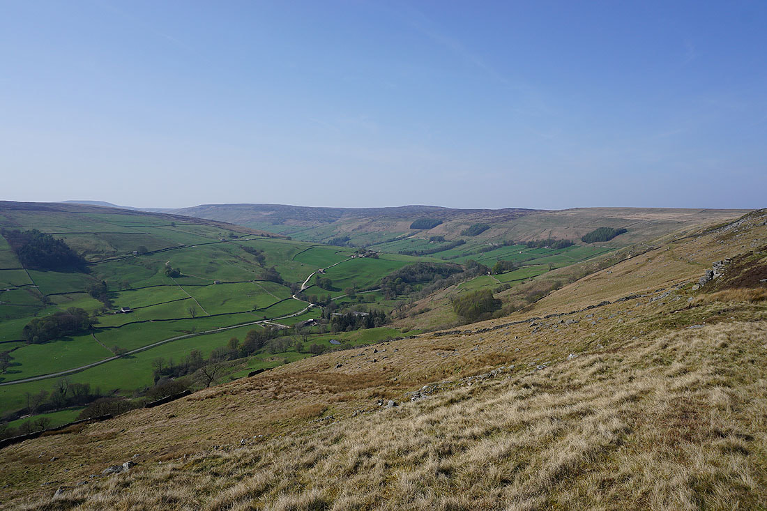
and onto another bridleway, this time heading east along Dale Edge above Nidderdale. This was my favourite part of the walk with fabulous views of Nidderdale to enjoy.......
Great Whernside behind In Moor, Scar House Reservoir, Little Whernside, Dead Man's Hill and Great Haw
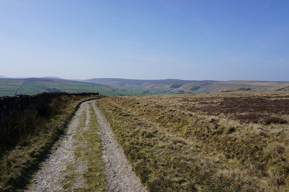
Looking back north along Dale Edge
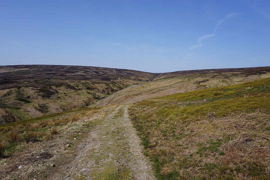
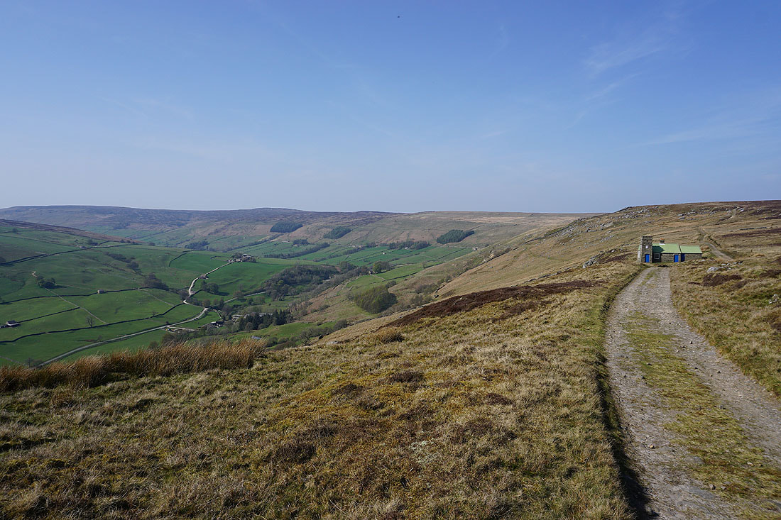
Following the bridleway south to the shooting house on Thrope Edge
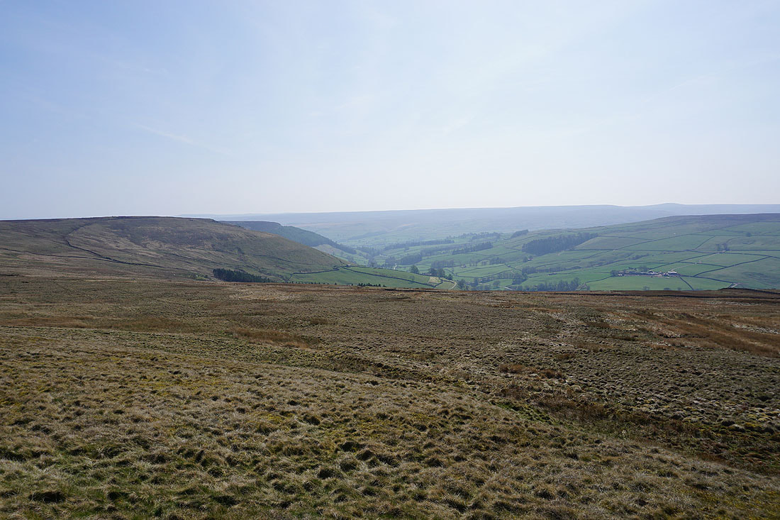
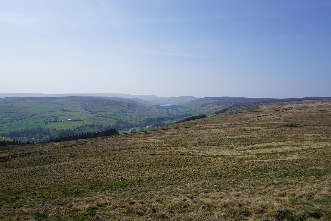
Nidderdale and Dale Edge from the bridleway on Thrope Edge...
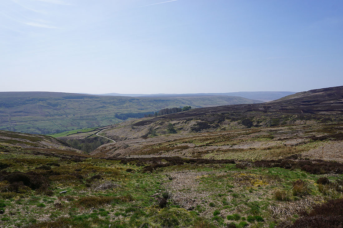
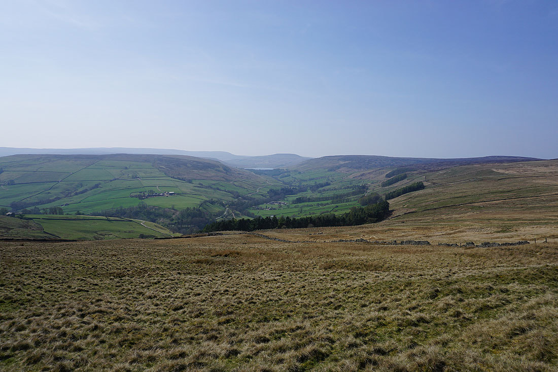
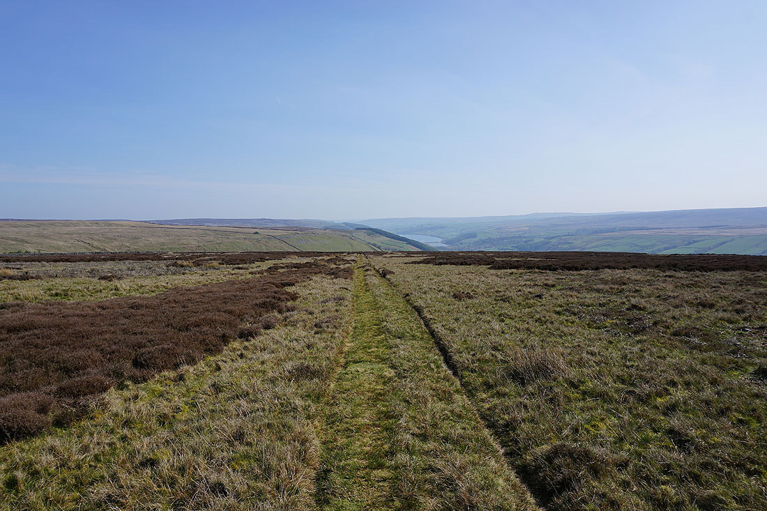
Fountains Earth Moor and a bit of Gouthwaite Reservoir visible in the distance as the bridleway heads across the moor to the road down Trapping Hill
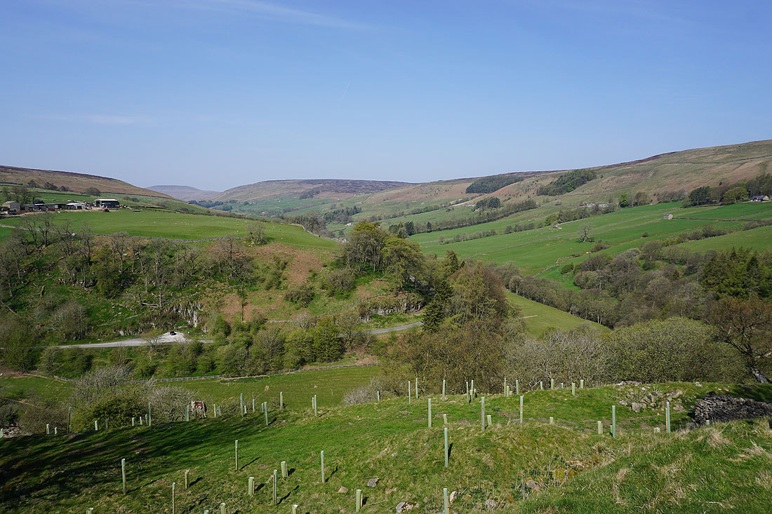
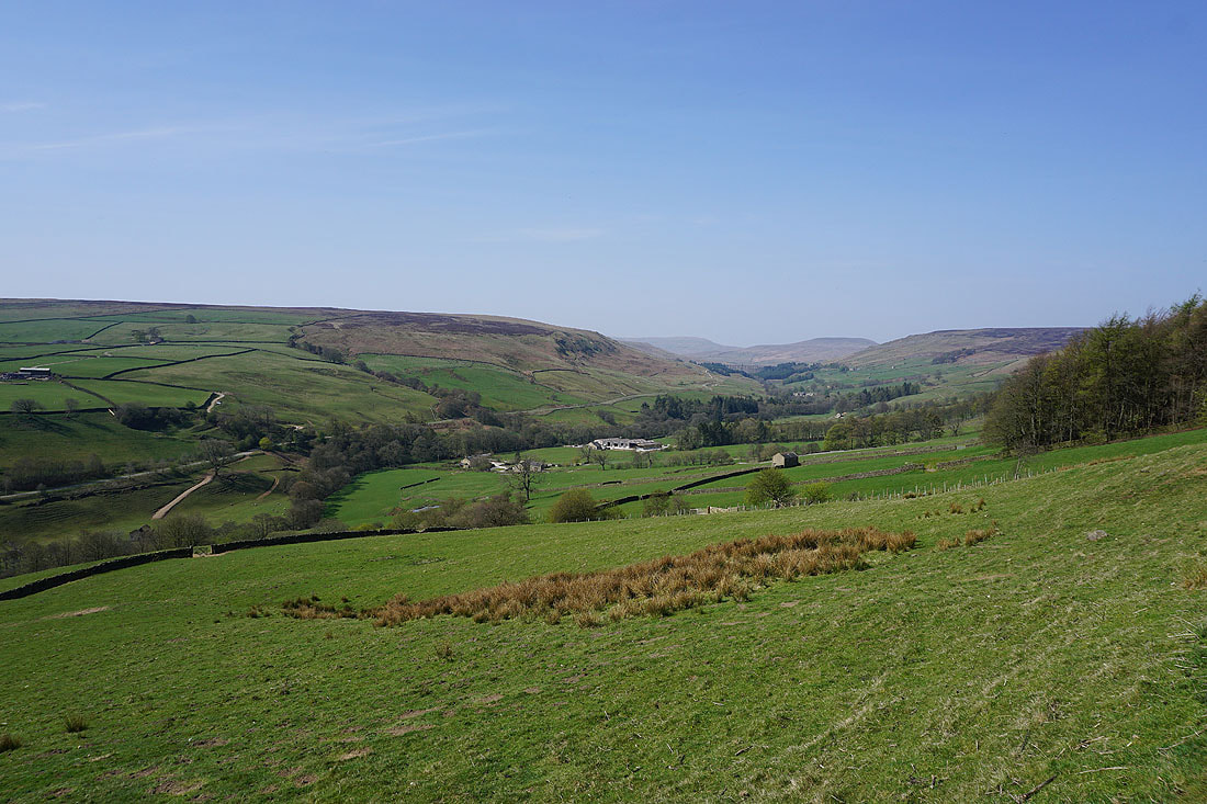
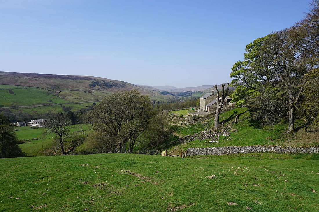
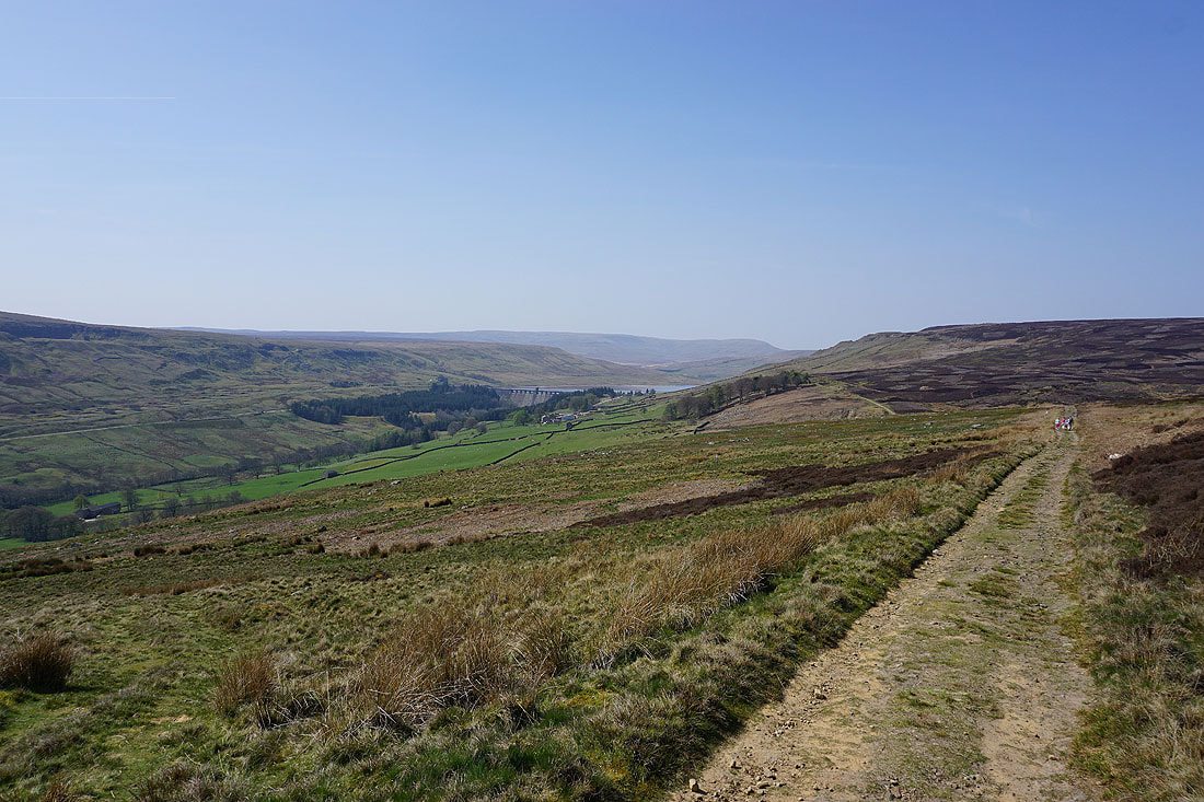
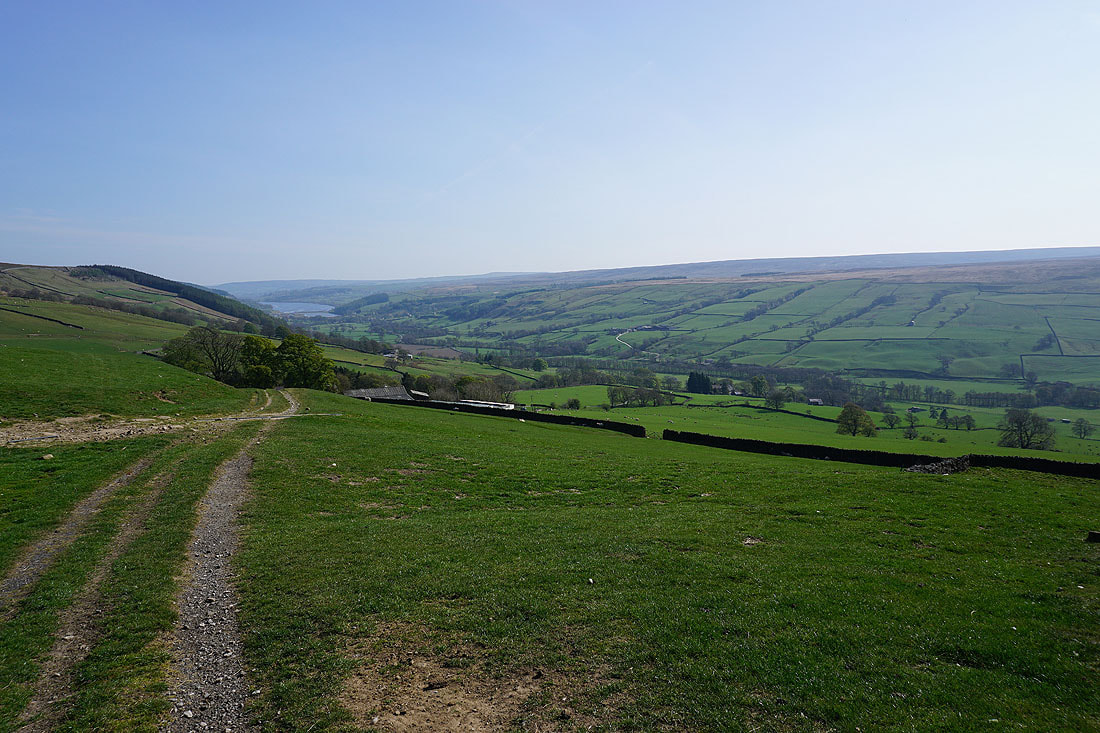
Nidderdale from above High Lofthouse Farm
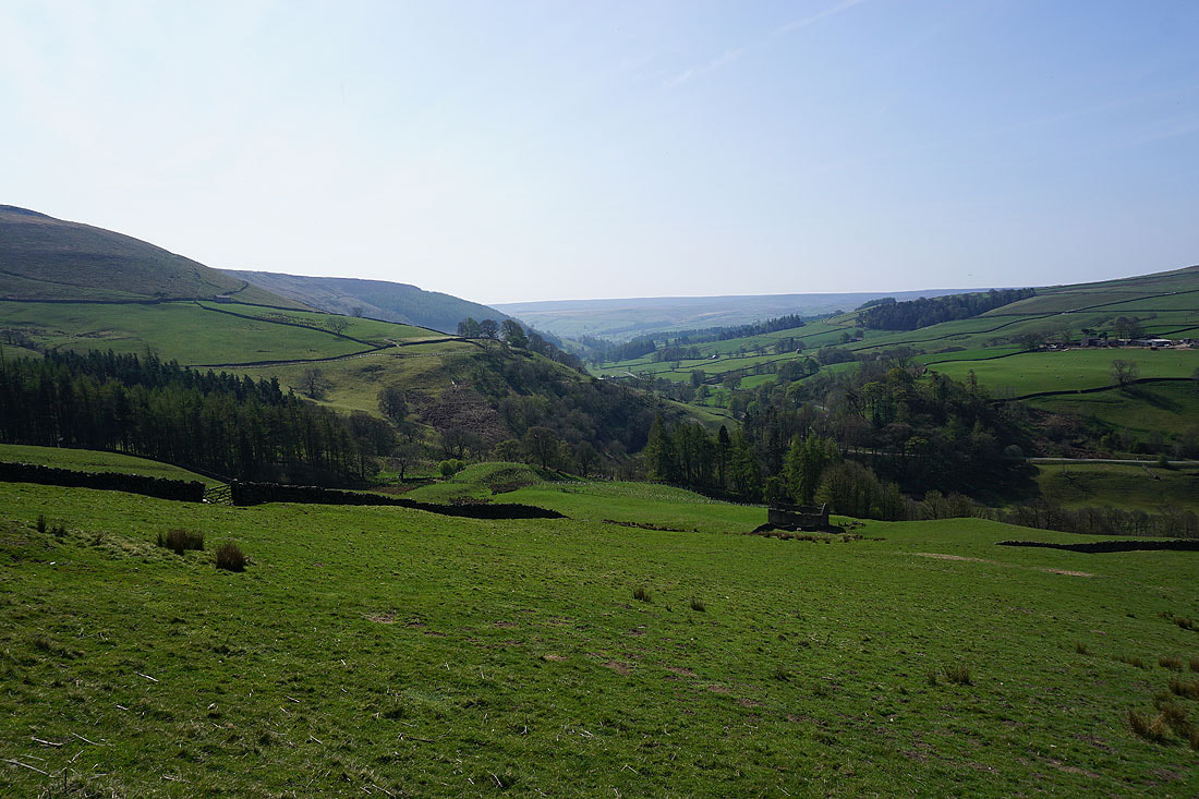
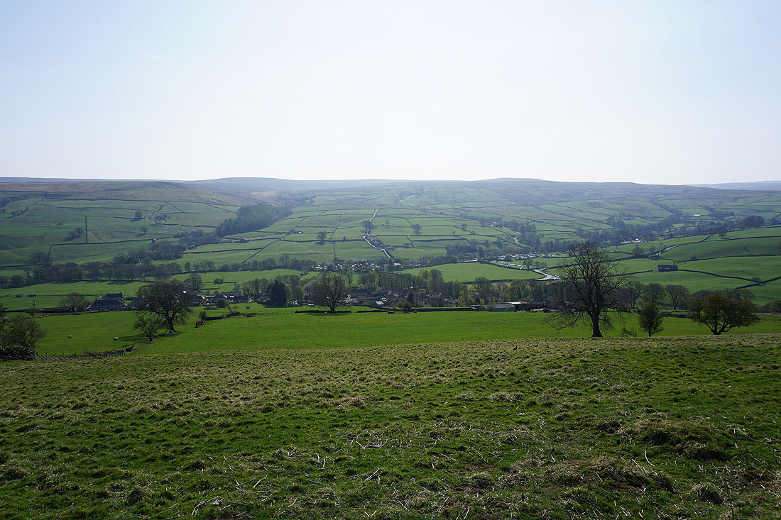
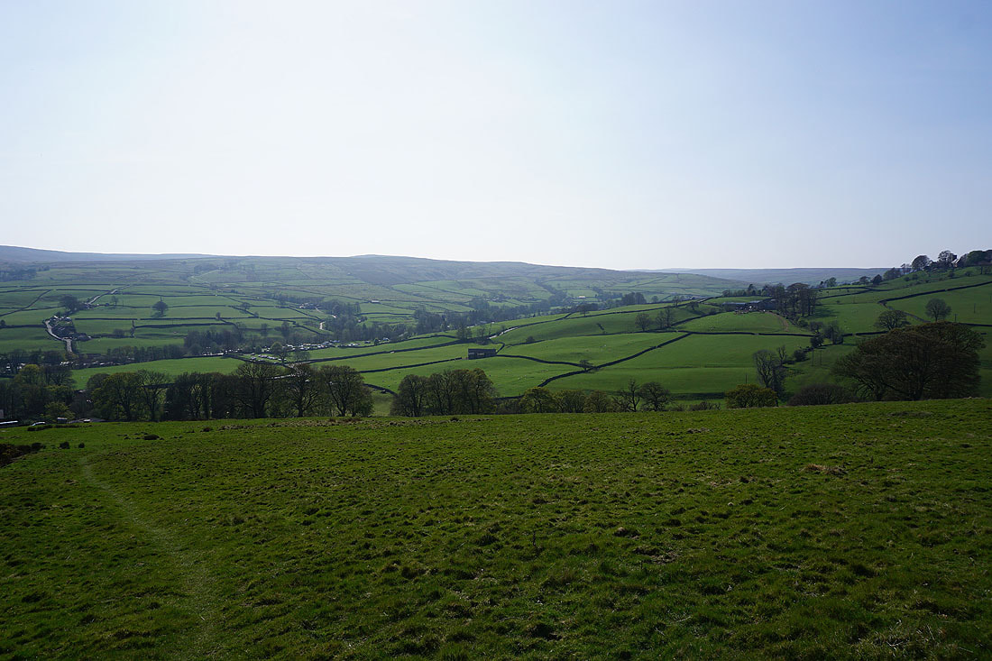
Nidderdale with Lofthouse just below..
Back in Lofthouse. The farm at the top of the village is selling ice-cream. I think I'll have one.
