20th August 2014 - Crinkle Crags & Bowfell
Walk Details
Distance walked: 8.3 miles
Total ascent: 3499 ft
OS map used: OL6 - The English Lakes, Southwestern area
Time taken: 6 hrs
Route description: NT car park, Stickle Barn-Stool End Farm-Oxendale-Crinkle Crags-Three Tarns-Bow Fell-Three Tarns-The Band-Stool End Farm-NT car park, Stickle Barn
I'm off work this week in case you were wondering so with a fine day forecast I drove up to the Lakes for one of my favourite walks on a fairly quiet weekday despite the schools being off. I couldn't believe it was three years since I last did this route. A mixture of cloud and sunshine with a distinctly chilly breeze on the top of Bow Fell.
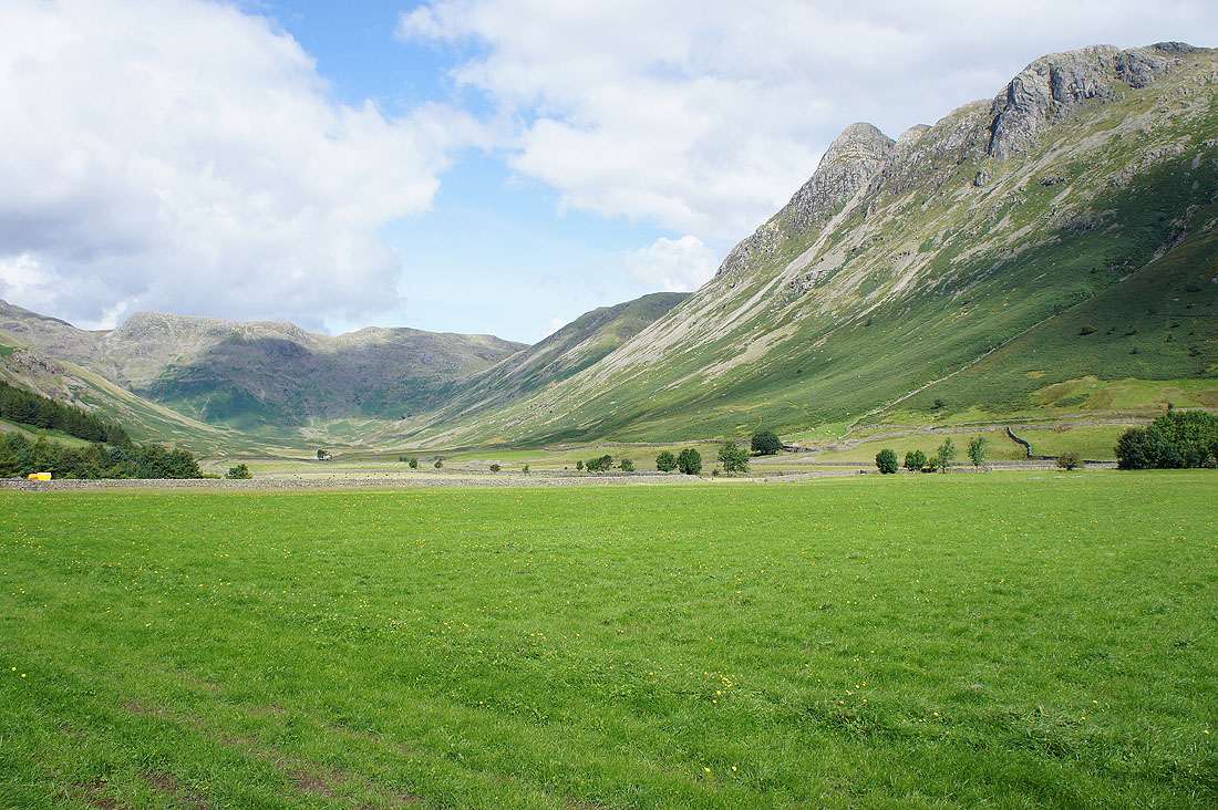
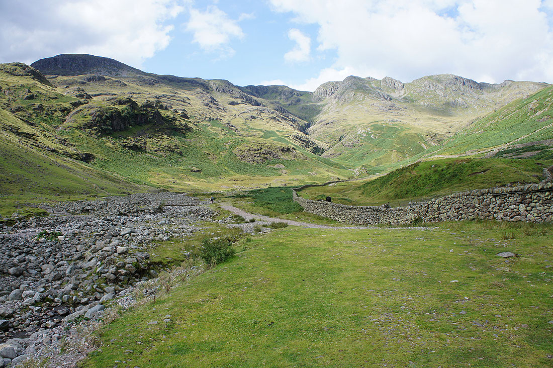
From the NT car park at Stickle Barn I followed the footpath across the fields to the Old Dungeon Ghyll Hotel and then the track to Stool End Farm. Once through the farmyard I took the path into Oxendale, across the footbridge over Oxendale Beck and then up by Browney Gill. At the top and after a pause for breath it was time to tackle Crinkle Crags. Once across the Crinkles I reached Three Tarns for the ascent of Bow Fell. After enjoying the view from the summit I returned to Three Tarns to make my descent down the The Band to Stool End Farm. I then retraced my steps back to the car park.
Total ascent: 3499 ft
OS map used: OL6 - The English Lakes, Southwestern area
Time taken: 6 hrs
Route description: NT car park, Stickle Barn-Stool End Farm-Oxendale-Crinkle Crags-Three Tarns-Bow Fell-Three Tarns-The Band-Stool End Farm-NT car park, Stickle Barn
I'm off work this week in case you were wondering so with a fine day forecast I drove up to the Lakes for one of my favourite walks on a fairly quiet weekday despite the schools being off. I couldn't believe it was three years since I last did this route. A mixture of cloud and sunshine with a distinctly chilly breeze on the top of Bow Fell.
From the NT car park at Stickle Barn I followed the footpath across the fields to the Old Dungeon Ghyll Hotel and then the track to Stool End Farm. Once through the farmyard I took the path into Oxendale, across the footbridge over Oxendale Beck and then up by Browney Gill. At the top and after a pause for breath it was time to tackle Crinkle Crags. Once across the Crinkles I reached Three Tarns for the ascent of Bow Fell. After enjoying the view from the summit I returned to Three Tarns to make my descent down the The Band to Stool End Farm. I then retraced my steps back to the car park.
Route map
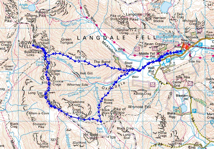
© Crown copyright. All rights reserved. License number PU 100034184.
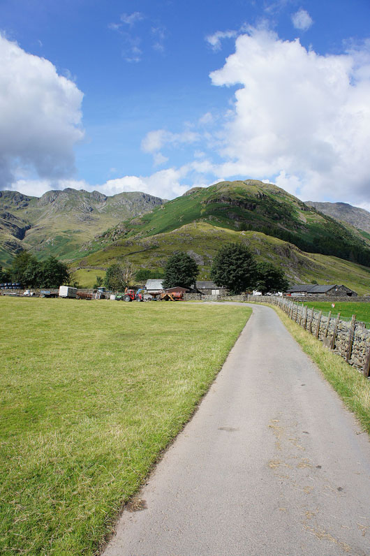
On the track to Stool End Farm. One of those places that makes you think of great days spent on the fells.
Mickleden and the Langdale Pikes
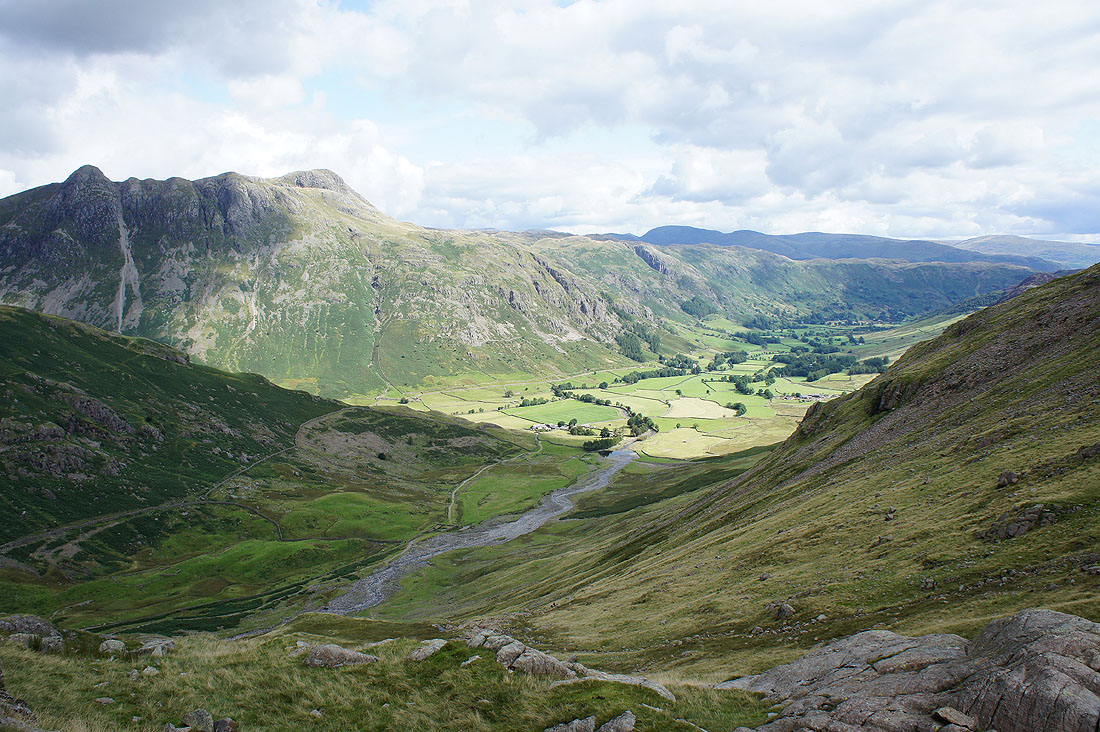
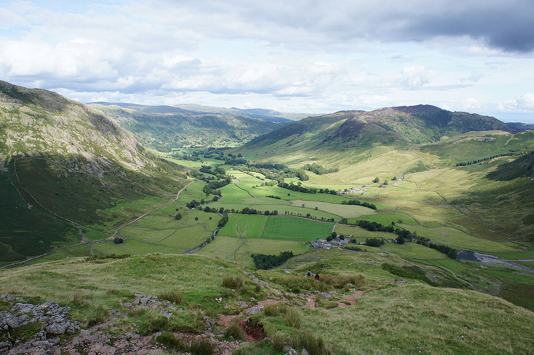
Into Oxendale with the Crinkle Crags ahead
Great Langdale and the Langdale Pikes from Brown Howe. The worst of the climb is over.
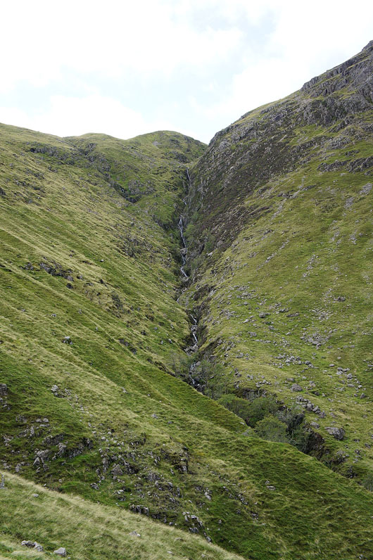
A long trail of falls in Browney Gill
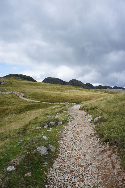
On the path to the Crinkles
On the top of the first Crinkle. The Coniston fells in the background.
The Scafells come into view for the first time today behind Long Top, the highest of the Crinkles
Great Langdale below
Helvellyn and Fairfield beyond the Langdale Pikes
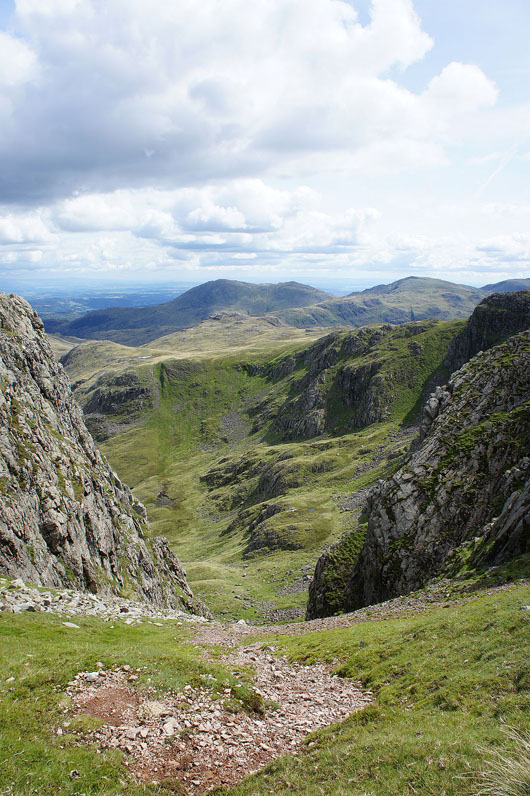
The highest of the Crinkles and "The Bad Step" awaits
On top of the Crinkles
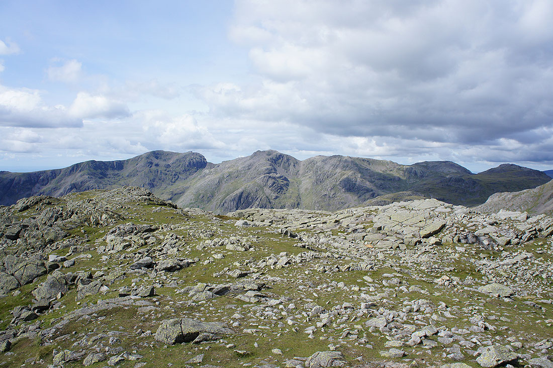
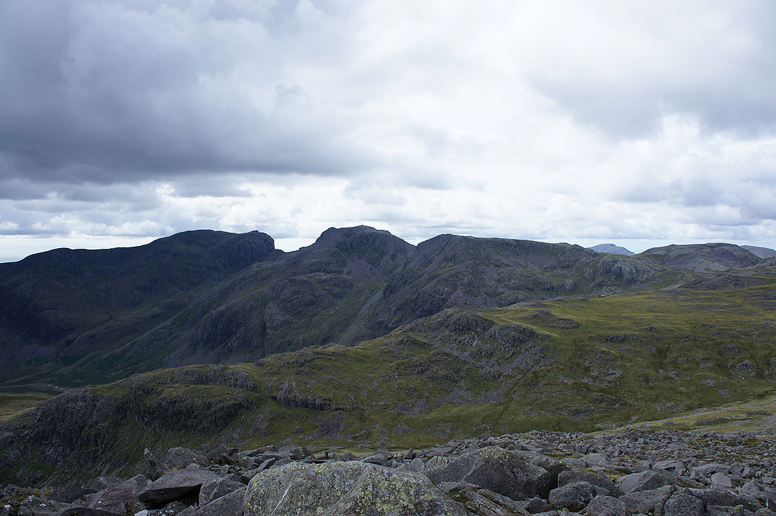
Scafell, Scafell Pike, Broad Crag, Ill Crag, Great End and Esk Pike
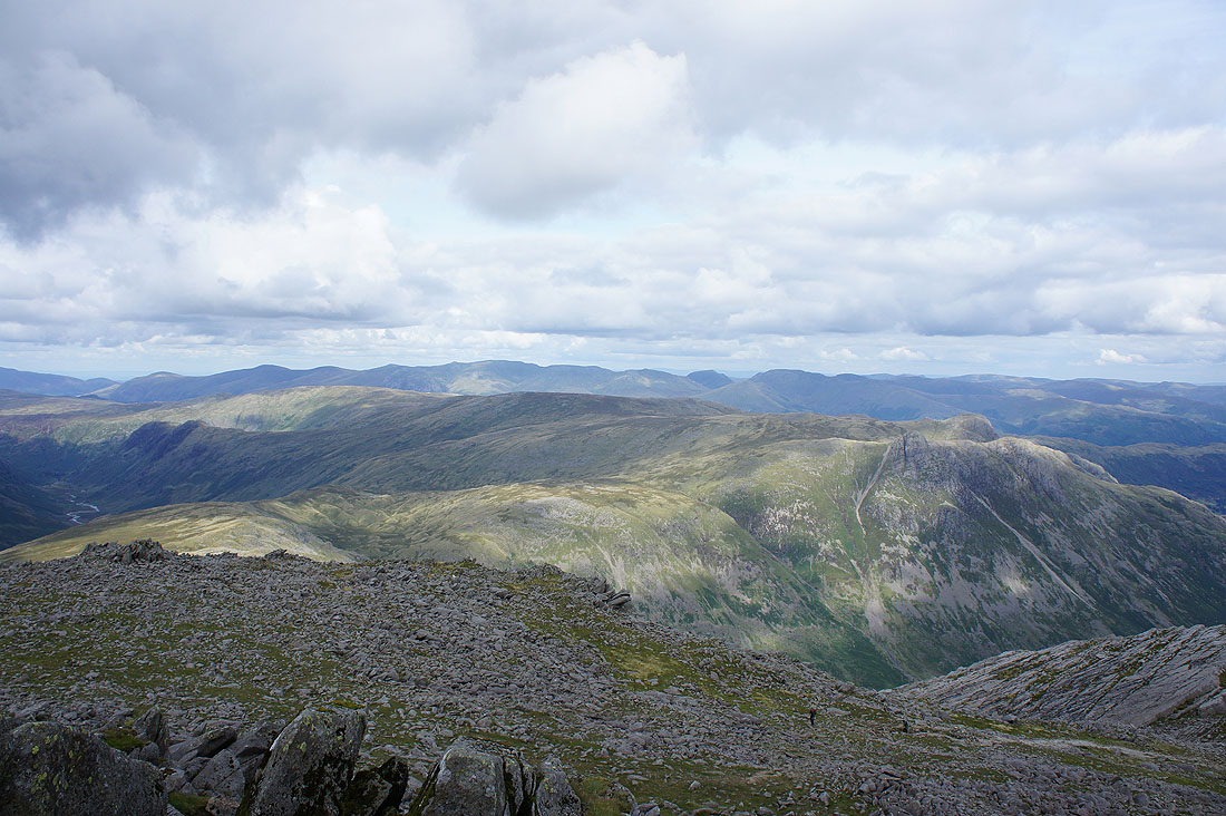
Bowfell with Skiddaw and Blencathra in the distance
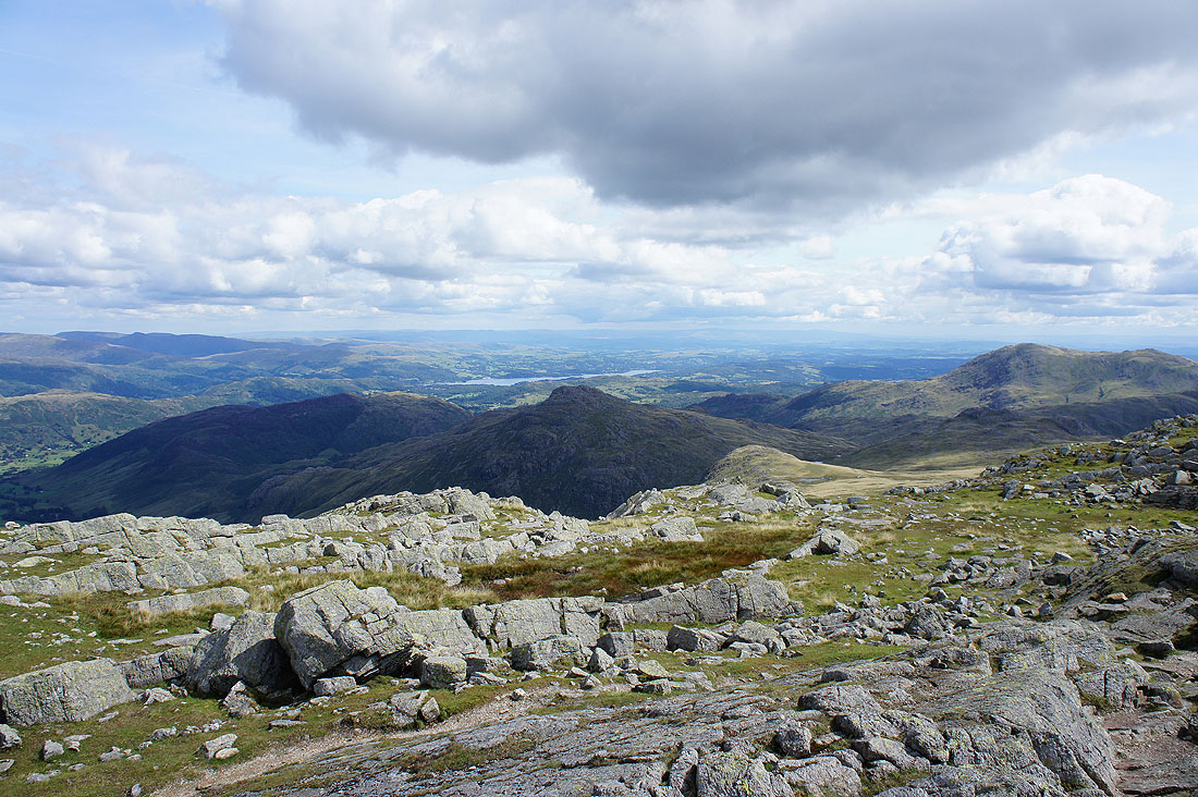
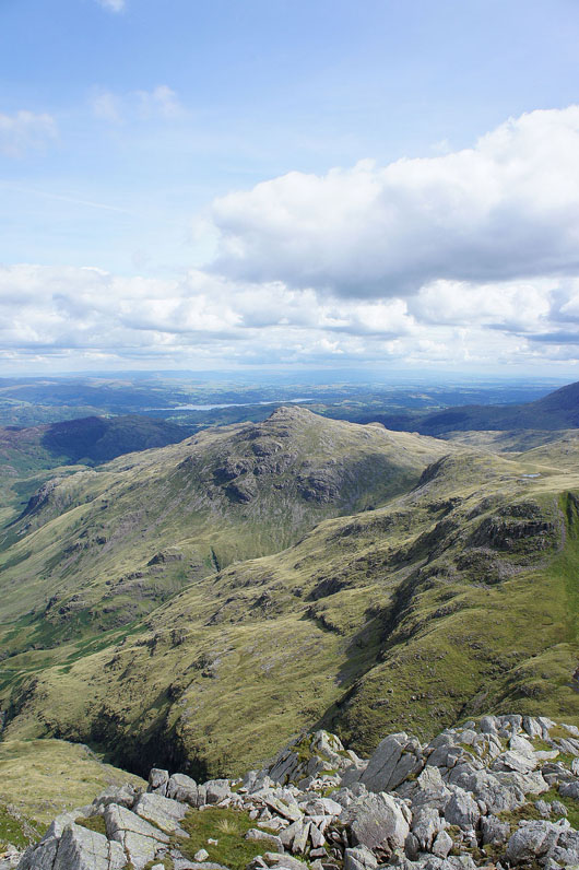
Windermere and beyond with Pike o'Blisco in shadow
Wetherlam, Swirl How, the Old Man of Coniston, Grey Friar and Dow Crag
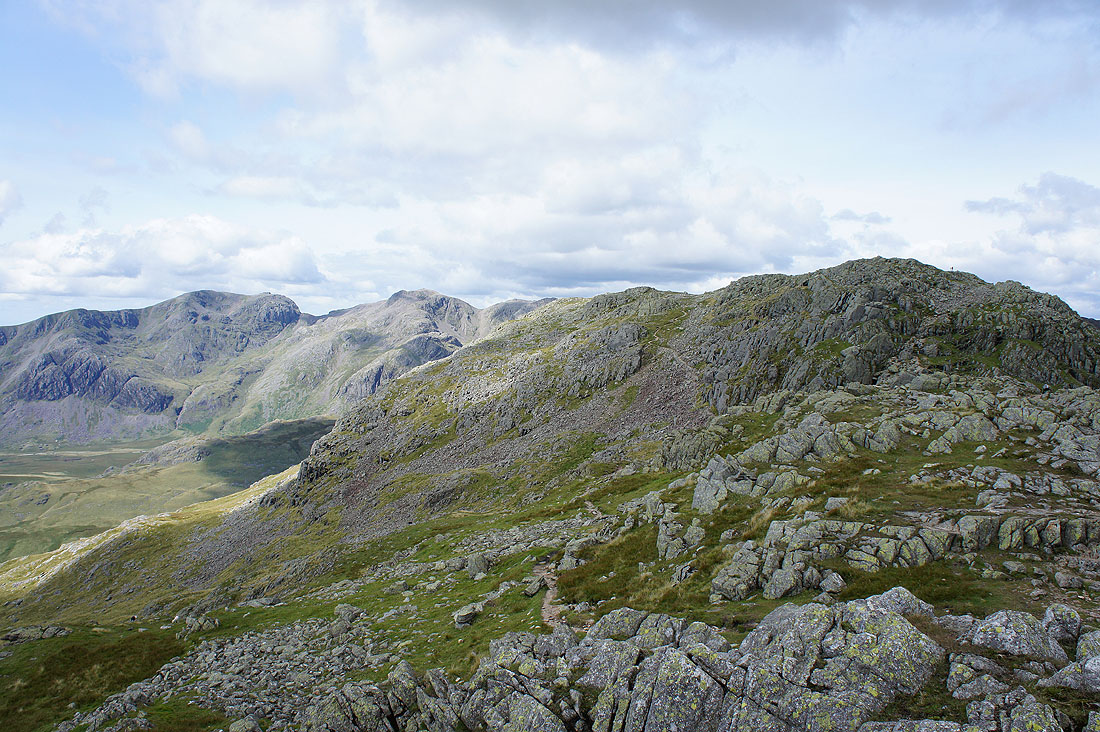
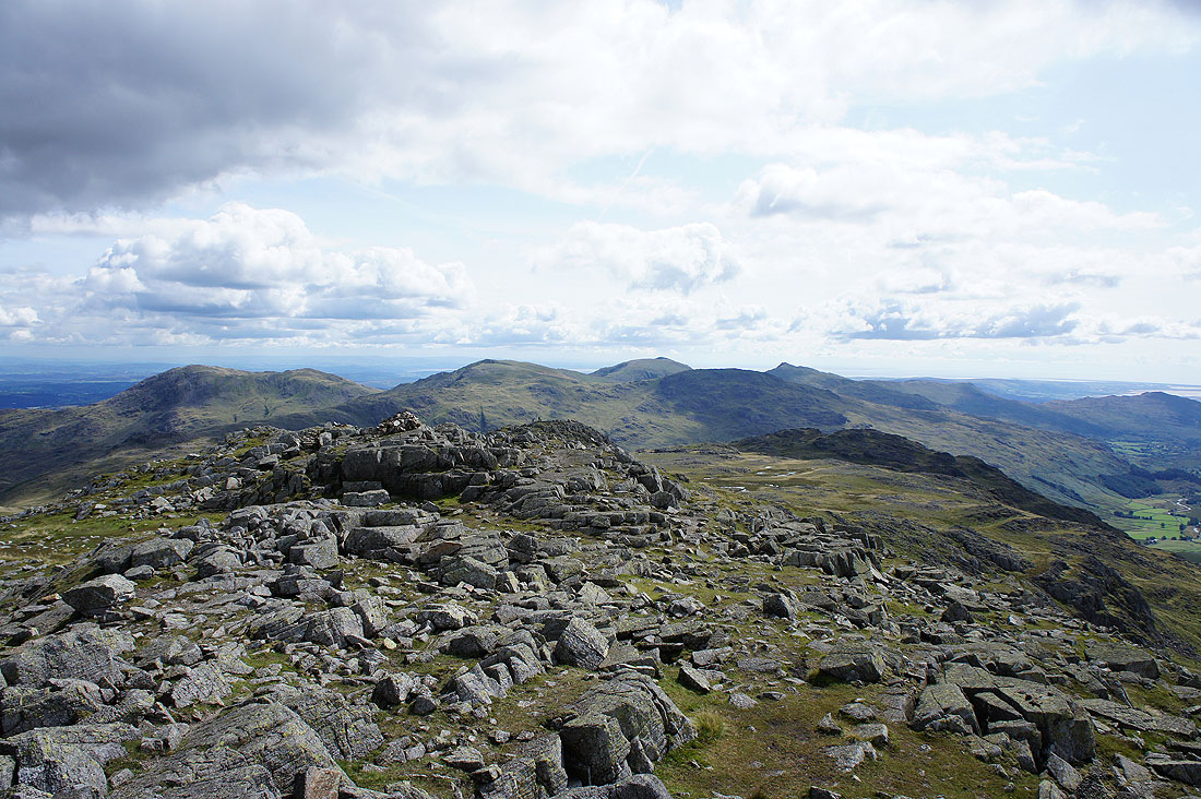
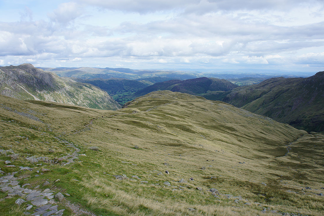
Onwards to the third Crinkle and past the top of Mickle Door
The Scafells, Esk Pike and Bowfell from the third Crinkle
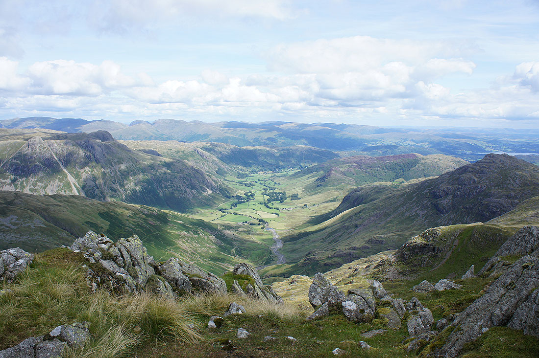
I think the view of Great Langdale from the third Crinkle is the best
Pike o'Blisco
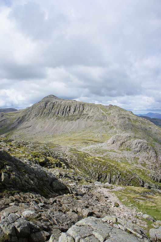
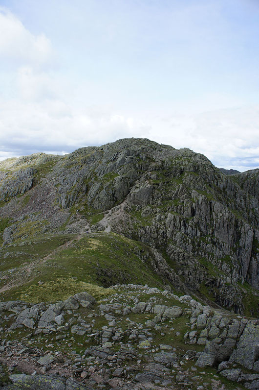
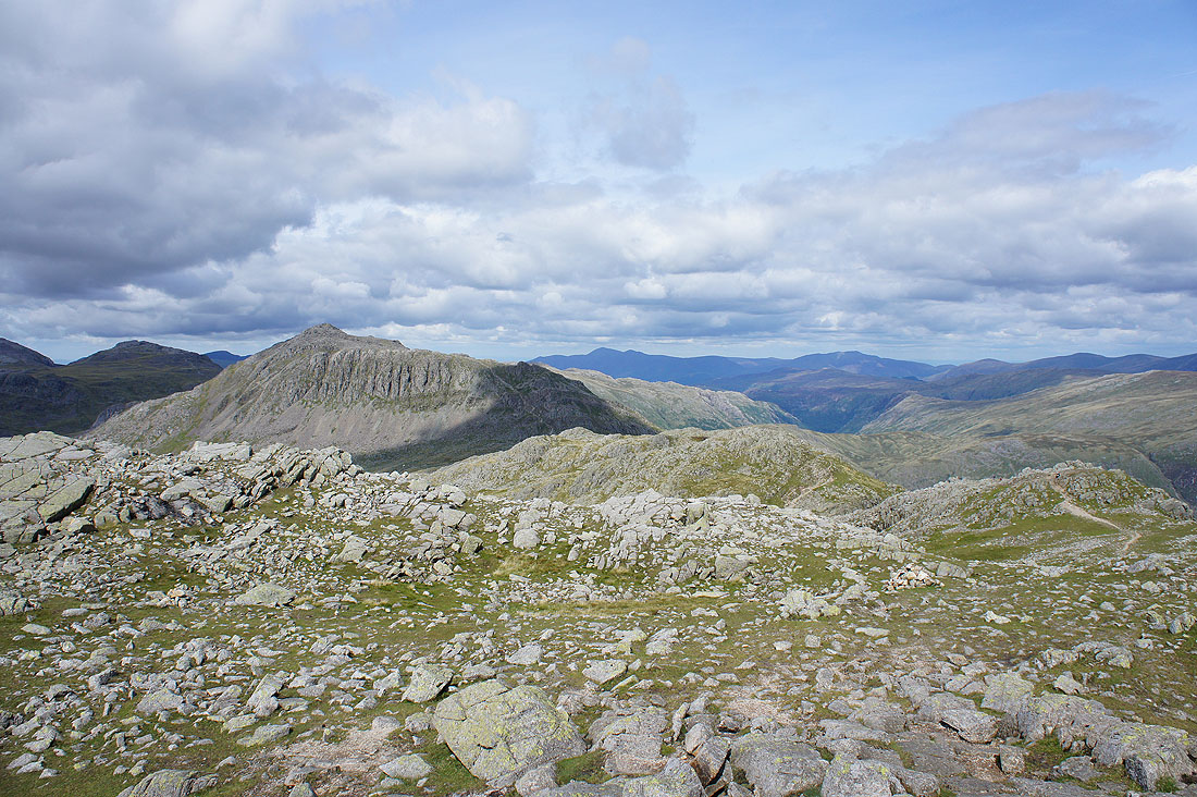
Bowfell now looms large as I make my way past Shelter Crags
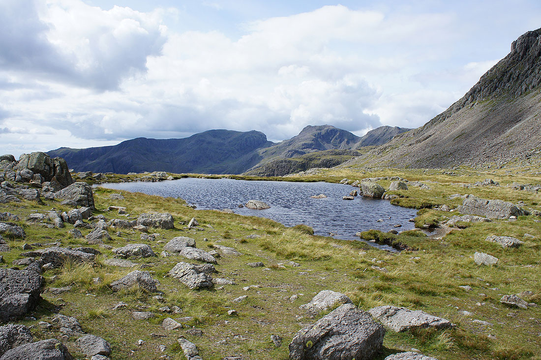
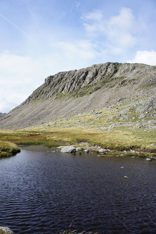
Scafell and Scafell Pike from Three Tarns. They were all present and correct.
Bowfell Links
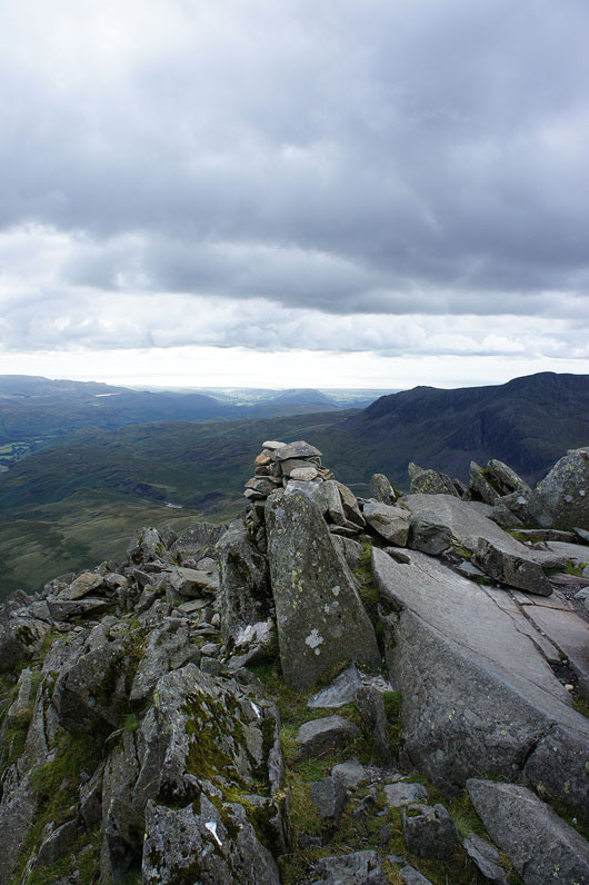
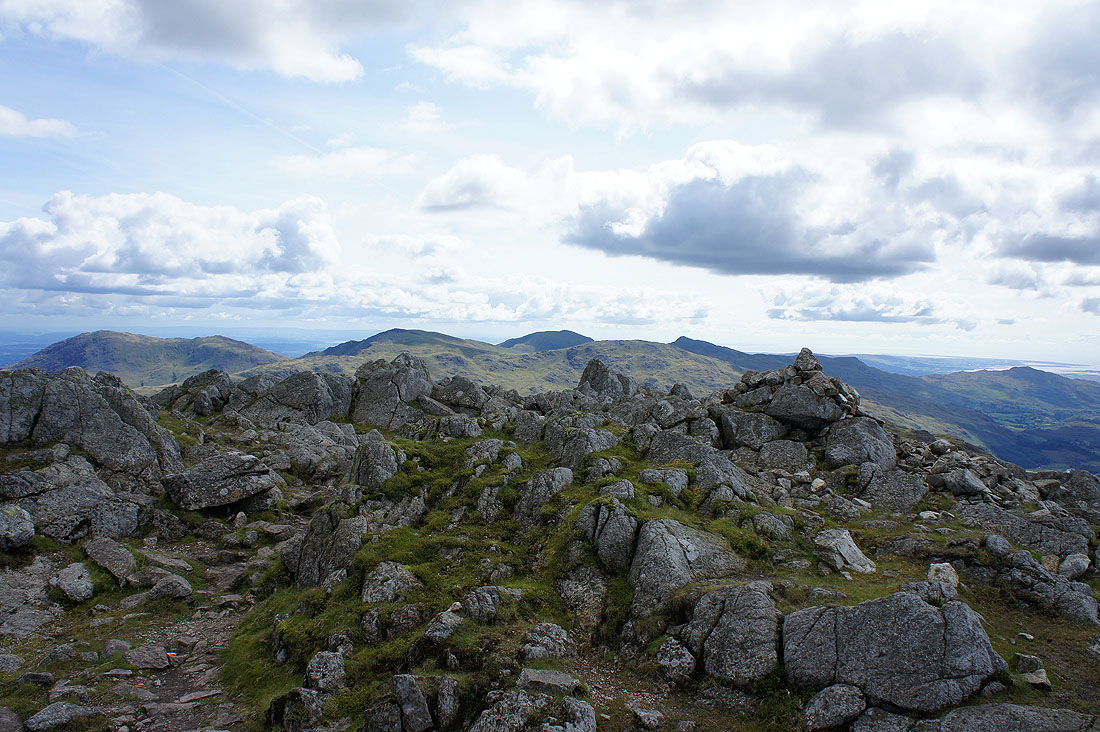
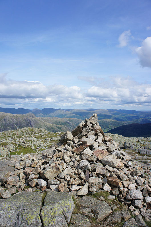
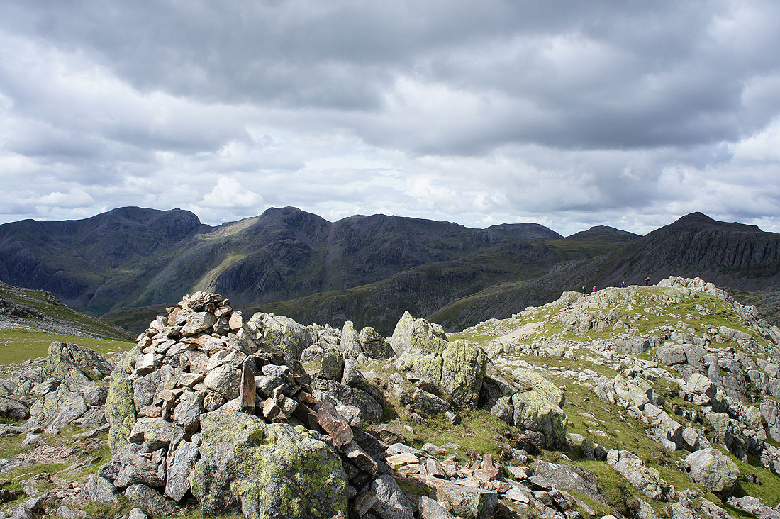
As Alfred Wainwright says on his summit page for Bowfell, "it's a giant cairn in itself". There's a small man-made one just in case.
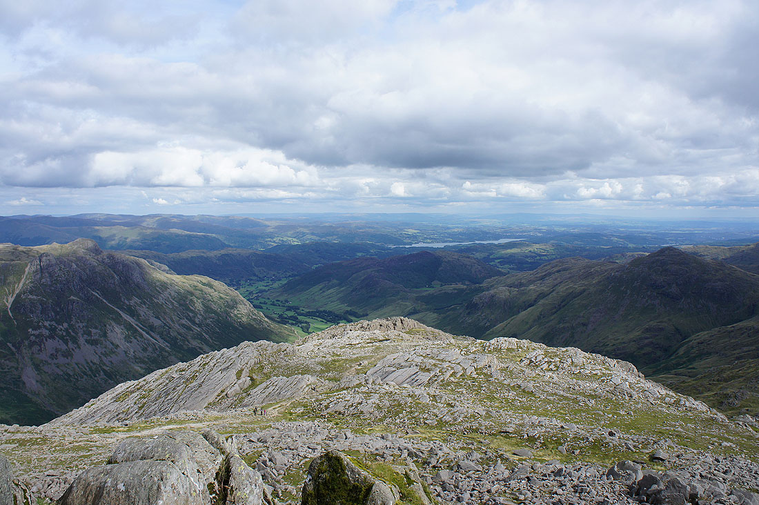
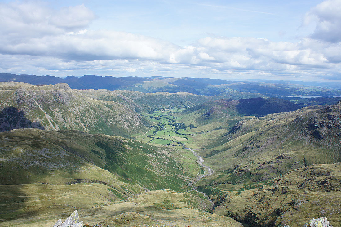
Great Langdale leads the eye down to Windermere with the Langdale Pikes on the left and Pike o'Blisco on the right
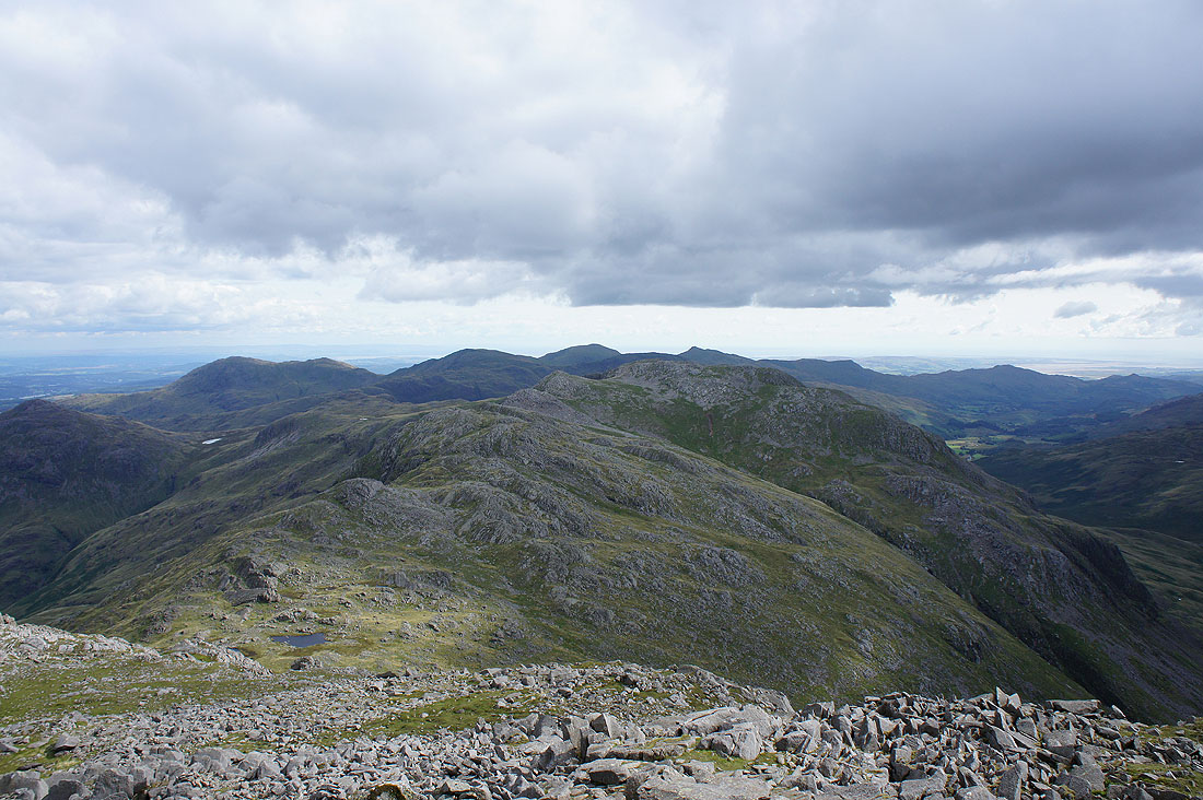
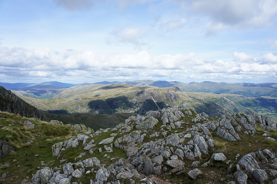
The Crinkle Crags with the Coniston fells beyond
Harter Fell and Eskdale to the southwest
The Scafells with the south ridge of Esk Pike in the foreground
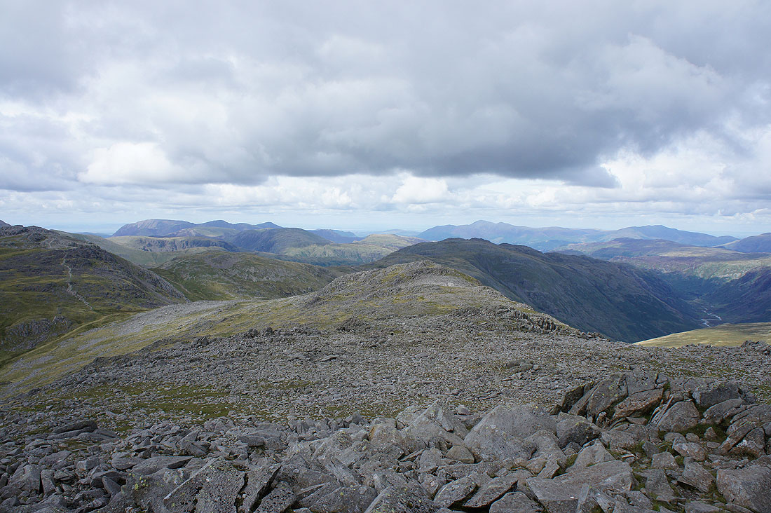
The northwestern fells, Glaramara, Skiddaw and Blencathra
The Helvellyn range and Fairfield beyond Ullscarf, High Raise and the Langdale Pikes

I took a few panoramas of the view from the summit and stitched them together for a full 360 degree one. The full size one is available as an annotated download.
| bowfell_panorama.jpg |
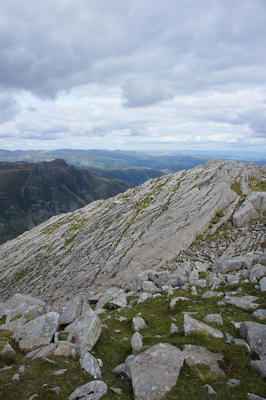
The Great Slab
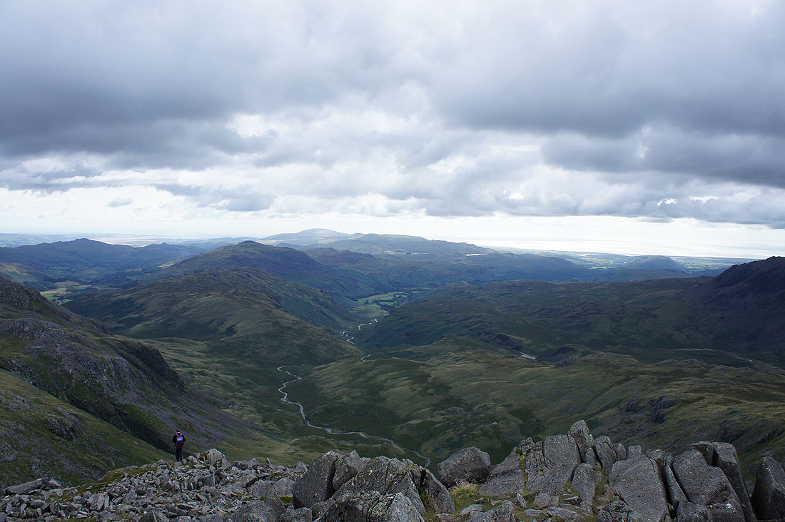
Having made it back to Three Tarns I'm heading down The Band
Stool End Farm in sight below so not far to go