20th August 2017 - Derwent Edge
Walk Details
Distance walked: 13.5 miles
Total ascent: 2052 ft
OS map used: OL1 - The Peak District, Dark Peak area
Time taken: 6.5 hrs
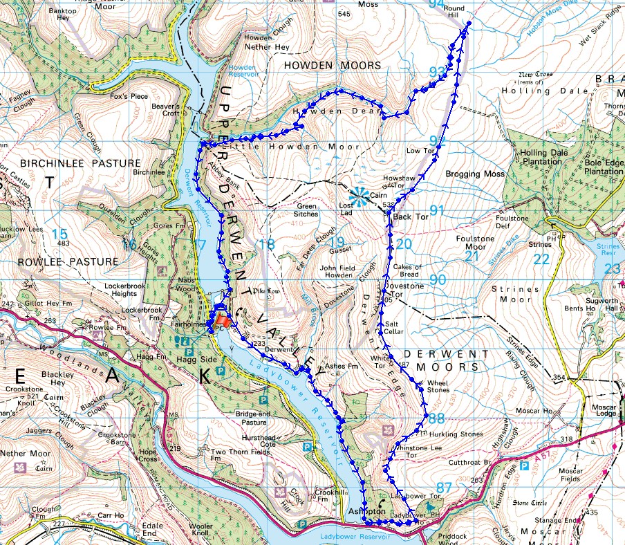
Route description: Fairholmes-Derwent-Ashopton-Ladybower Tor-Whinstone Lee Tor-Derwent Edge-Back Tor-Cartledge Stones Ridge-Abbey Clough-Upper Derwent Reservoir-Fairholmes
Just a week after my Bamford Edge and Stanage Edge walk and I'm back in the same part of the Peak District to get another dose of heather. The weather forecast for this weekend wasn't looking too good and it was only yesterday that the forecast for today improved enough to make the drive over the Snake Pass worthwhile, and since the heather doesn't last that long I've got to take the opportunity when it arises. This is the fourth year in a row that I've done Derwent Edge in August and the displays of heather that can be seen are the reason why. A difference this year was the decision to walk the edge from south to north for the first time. That proved to be a little disorientating and meant that I nearly missed out on seeing my favourite landmark on this walk, the Salt Cellar, as it's hidden from view going south to north. The weather wasn't as good as last Sunday with the sunny spells becoming hazy in the afternoon but I was grateful for the breeze that was blowing, there were a lot of flies in the heather.
From the car park at Fairholmes I took the road under the Derwent dam to the hamlet of Derwent and then the bridleway that heads south down the eastern side of Ladybower Reservoir to the hamlet of Ashopton. I then took the bridleway east towards Cutthroat Bridge before taking a path on the left that heads uphill to Ladybower Tor at the southern end of Derwent Edge. Walking north up Derwent Edge past Whinstone Lee Tor, White Tor and Dovestone Tor brought me to the trig point on Back Tor. I then kept heading north from the trig point along Cartledge Stones Ridge to pick up the path down into Abbey Clough. I followed this all the way down the clough to reach the track by Upper Derwent Reservoir. A walk south along this brought me back to the Derwent dam and the road to the car park at Fairholmes.
Route map
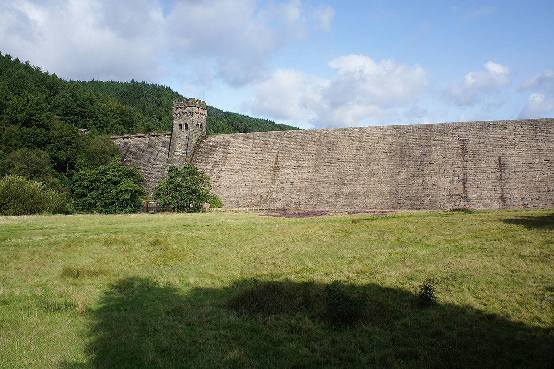
Passing beneath the Derwent dam as I set off
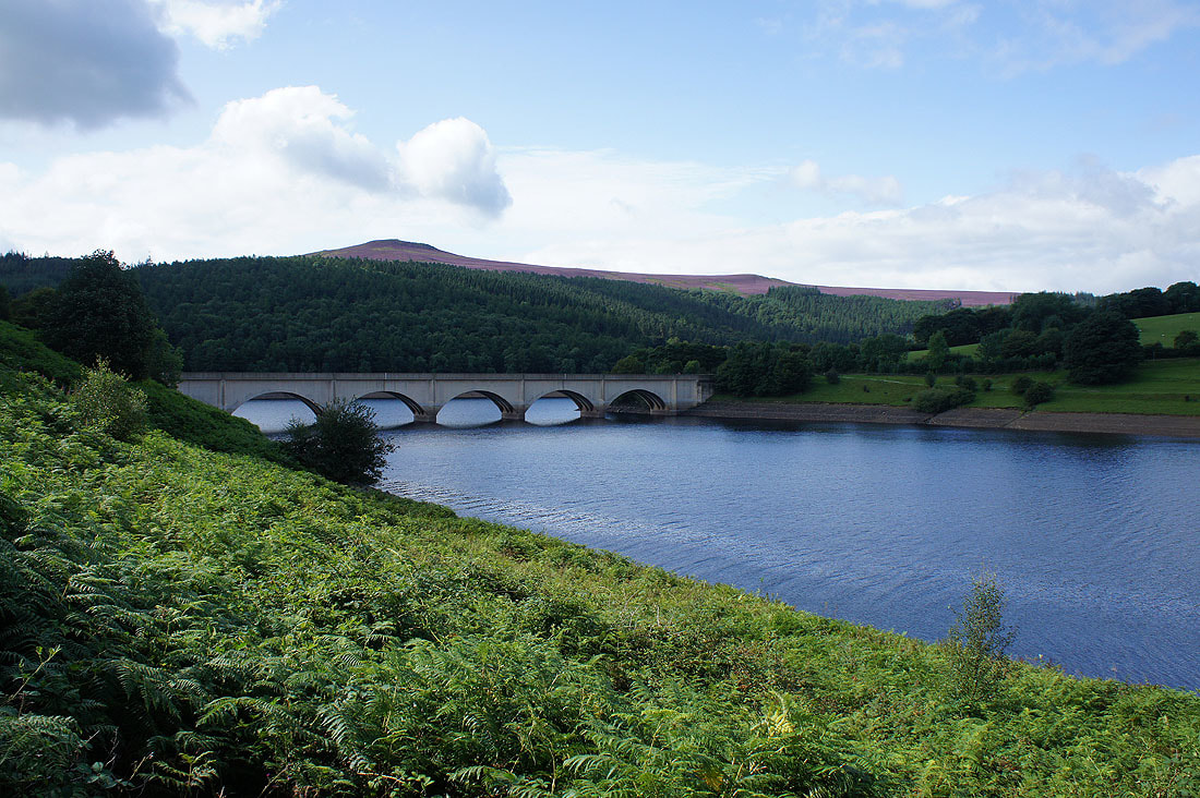
I have a fair way to go yet but I can make out the Ashopton viaduct
Win Hill above the Ashopton viaduct
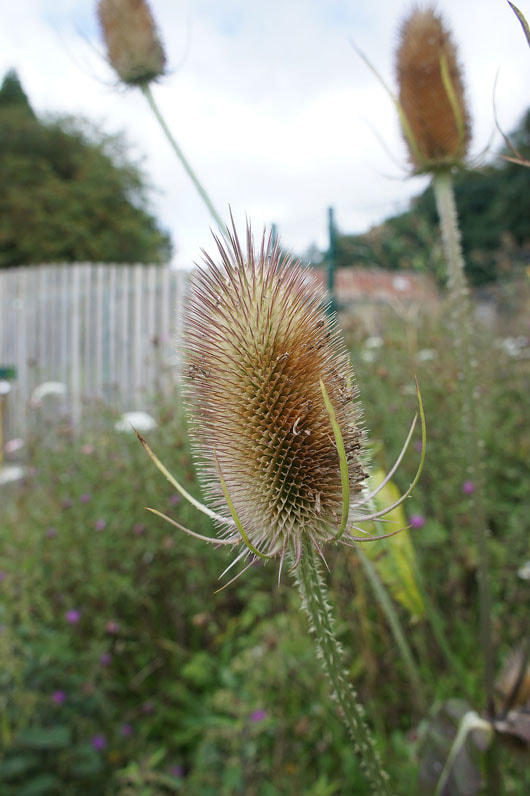
Teasels
Great Tor on Bamford Edge and Ladybower Reservoir as I climb up Ladybower Tor
Win Hill and the Woodlands Valley from Ladybower Tor
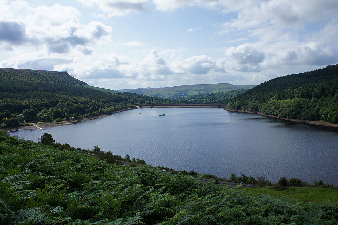
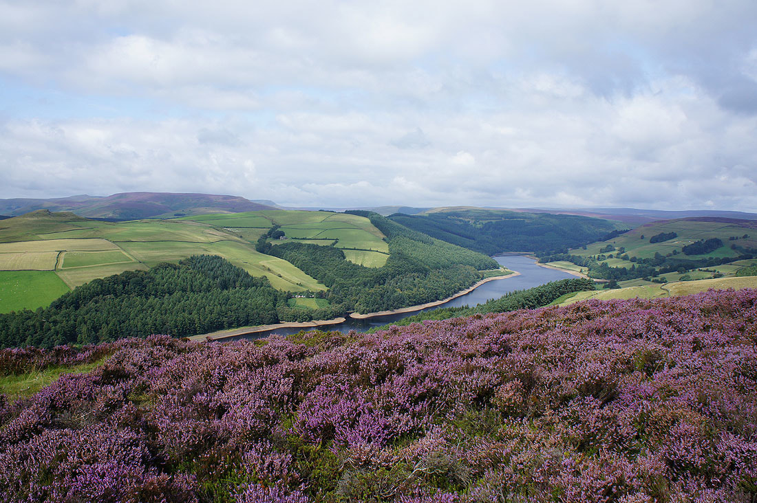
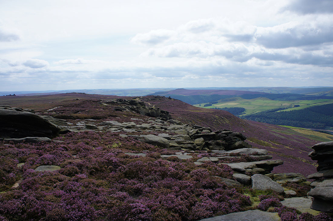
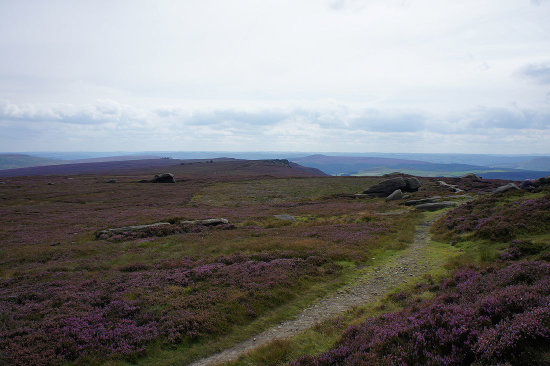
Great views across Ladybower Reservoir as I head north up Derwent Edge past Whinstone Lee Tor..
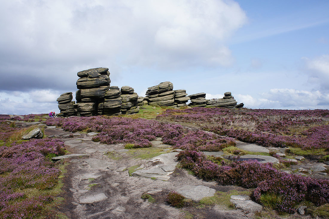
The Wheel Stones
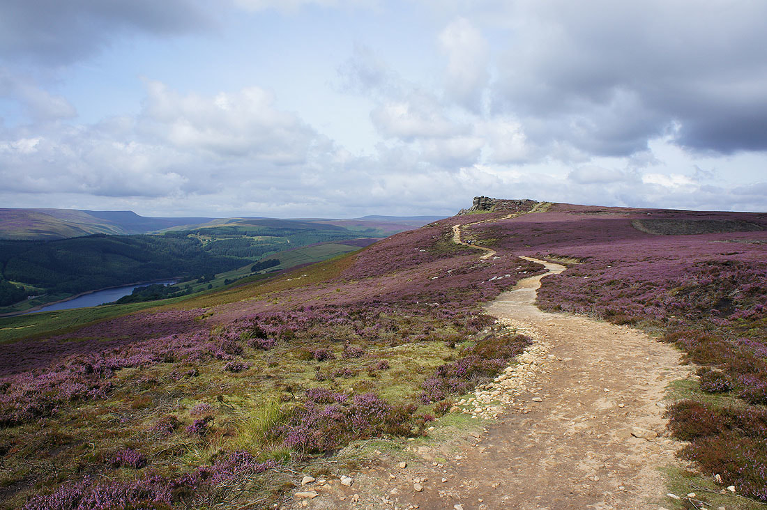
Onwards to White Tor
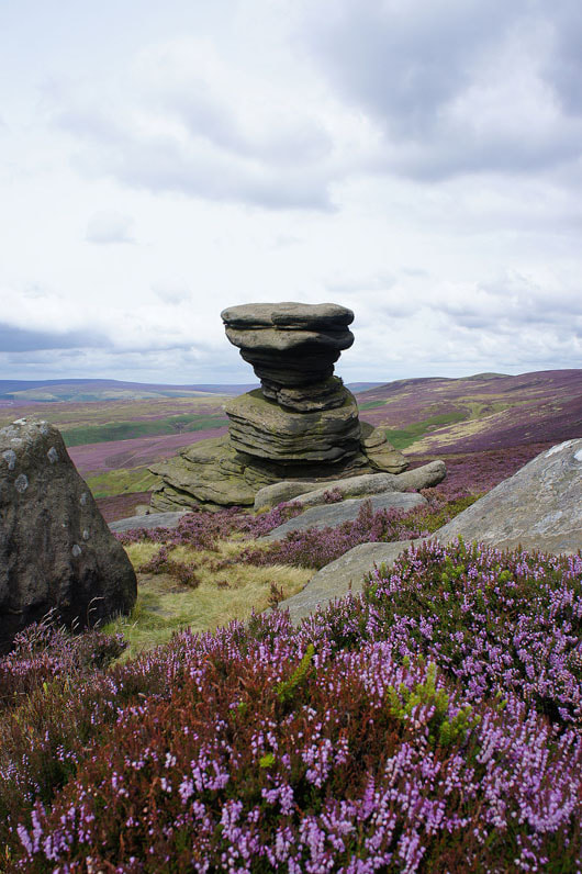
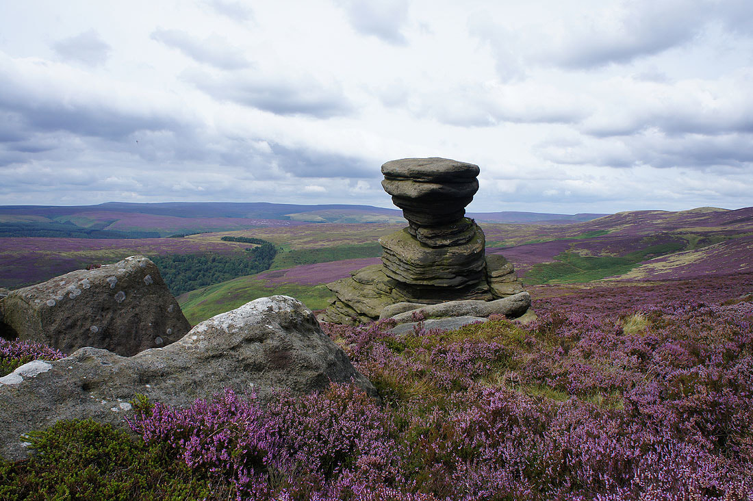
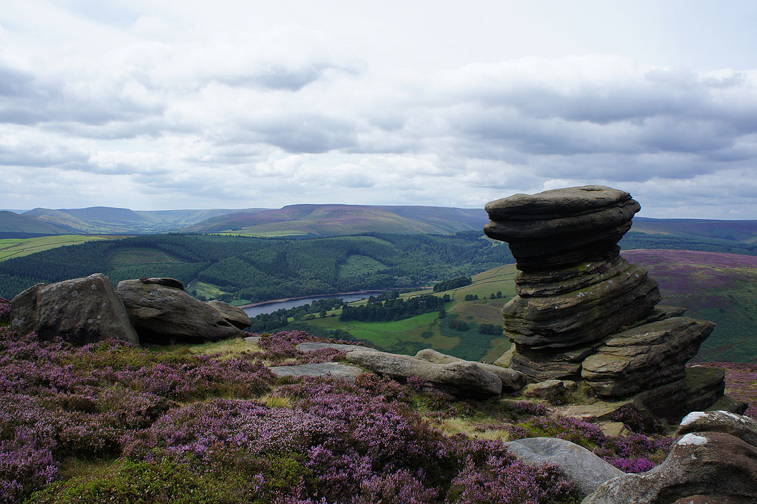
Just north of White Tor is the prominent gritstone boulder of the Salt Cellar. I had my lunch here before taking a few photos of the view.
Bleaklow and the Howden Moors in the distance
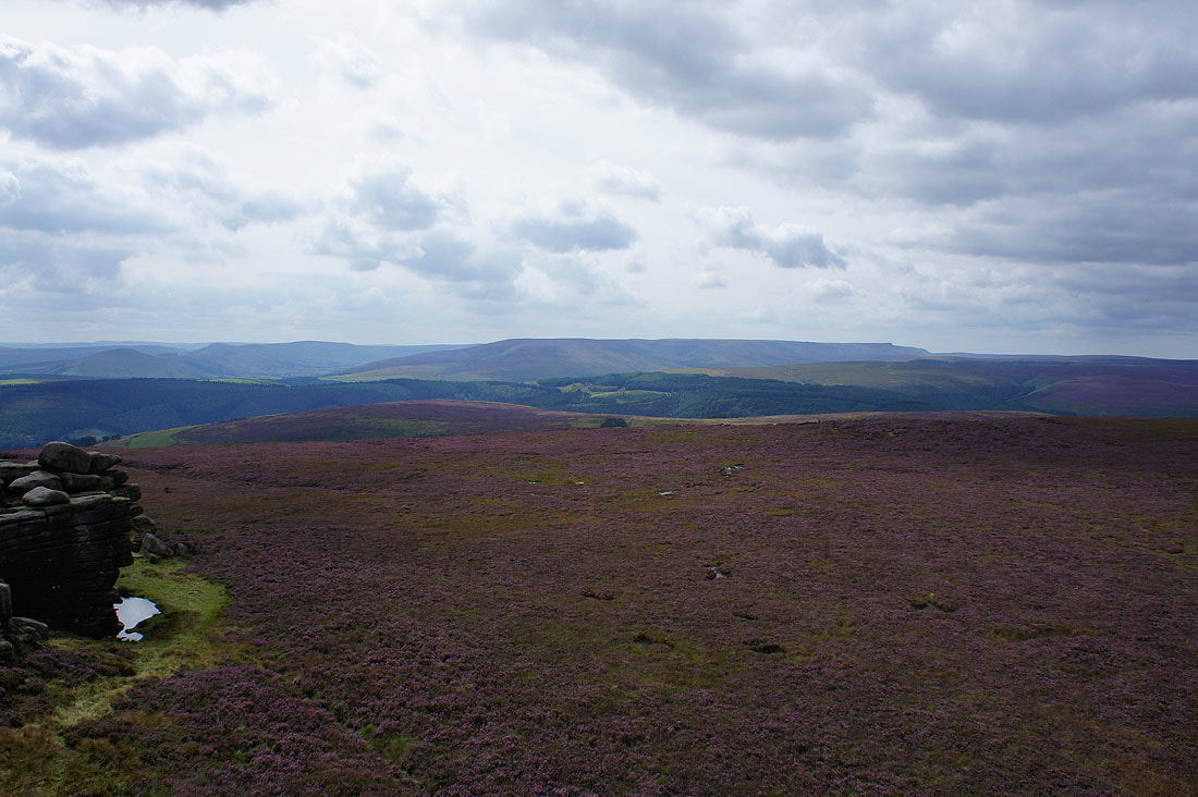
The Great Ridge, the Vale of Edale and Kinder Scout beyond Ladybower Reservoir and the Woodlands Valley
On Dovestone Tor with the summit of Back Tor in sight
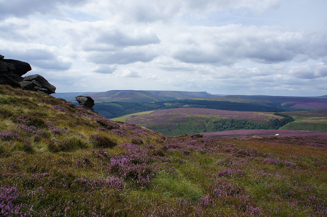
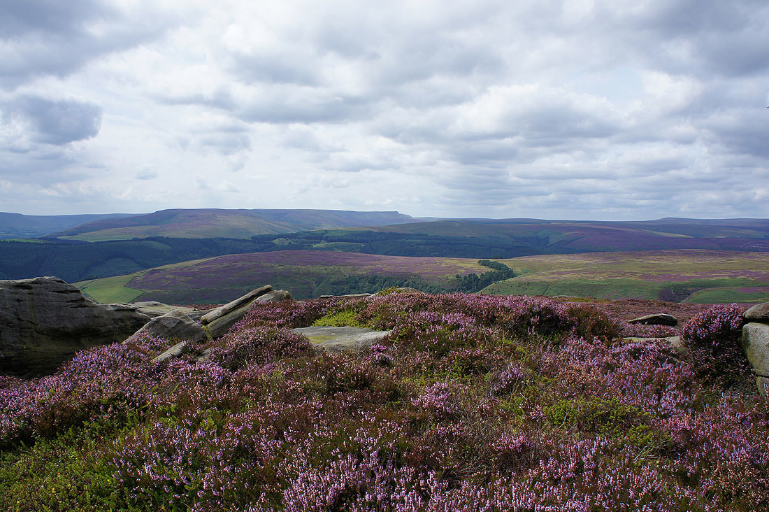
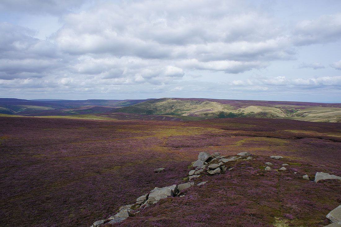
Carpets of heather as I look northwest to Bleaklow and the Howden Moors
Looking back south down Derwent Edge to the Salt Cellar
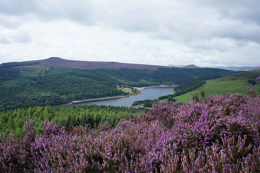
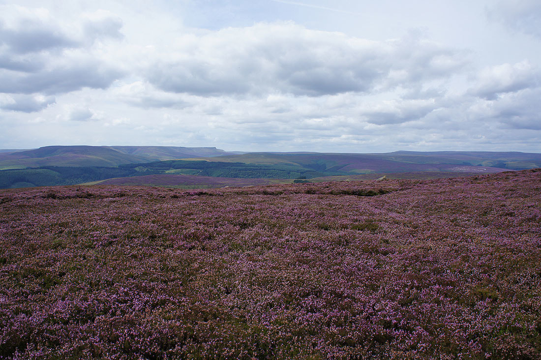
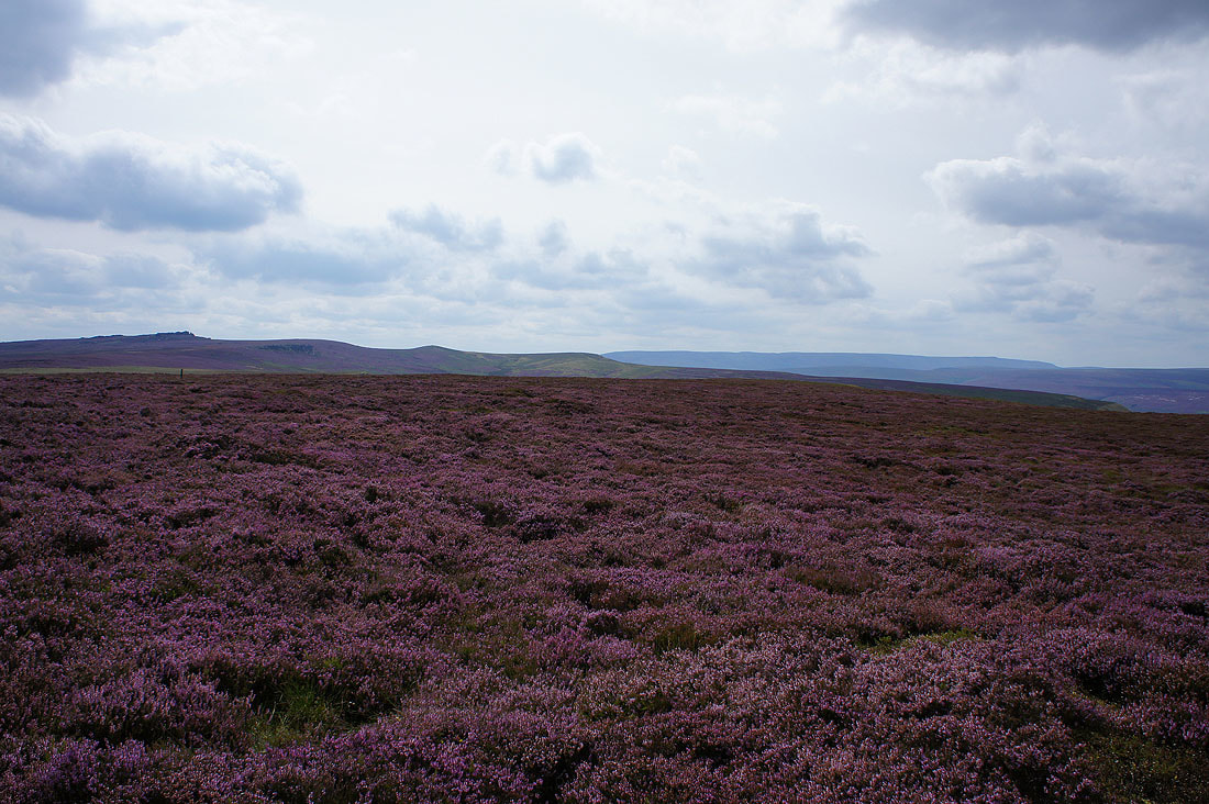
I couldn't resist taking more shots across the heather as I continued north to Back Tor....
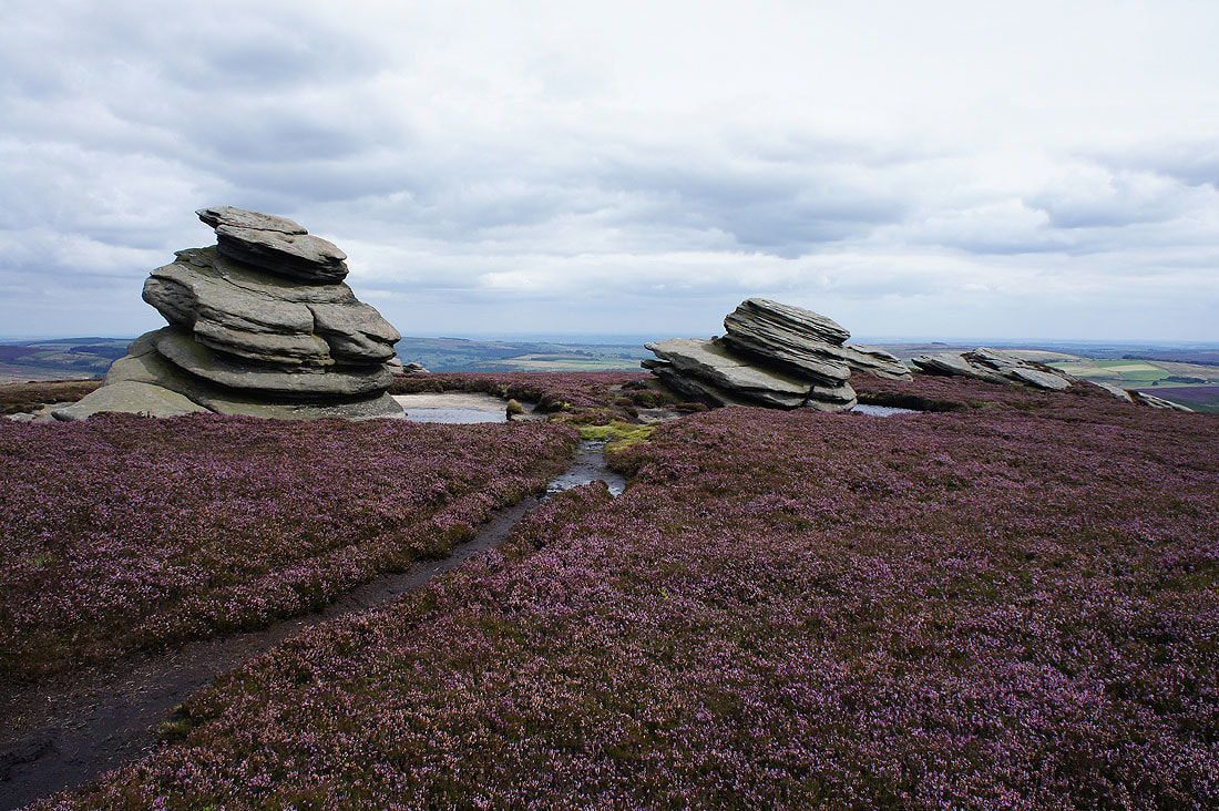
The Cakes of Bread
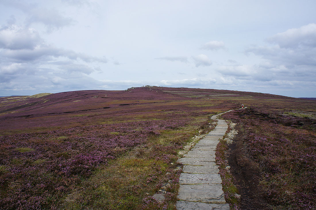
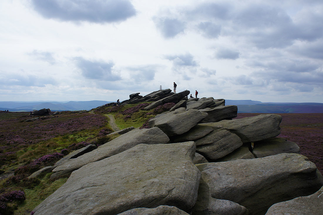
On the final approach to Back Tor
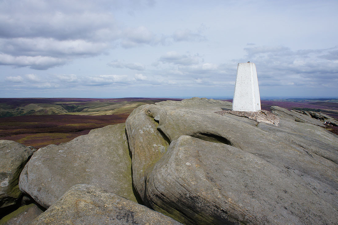
The trig point on the summit of Back Tor. I made the effort to climb up and touch it this time.
Bleaklow and Black Hill way in the distance
The Howden Moors and Margery Hill
The Great Ridge, the Vale of Edale and Kinder Scout
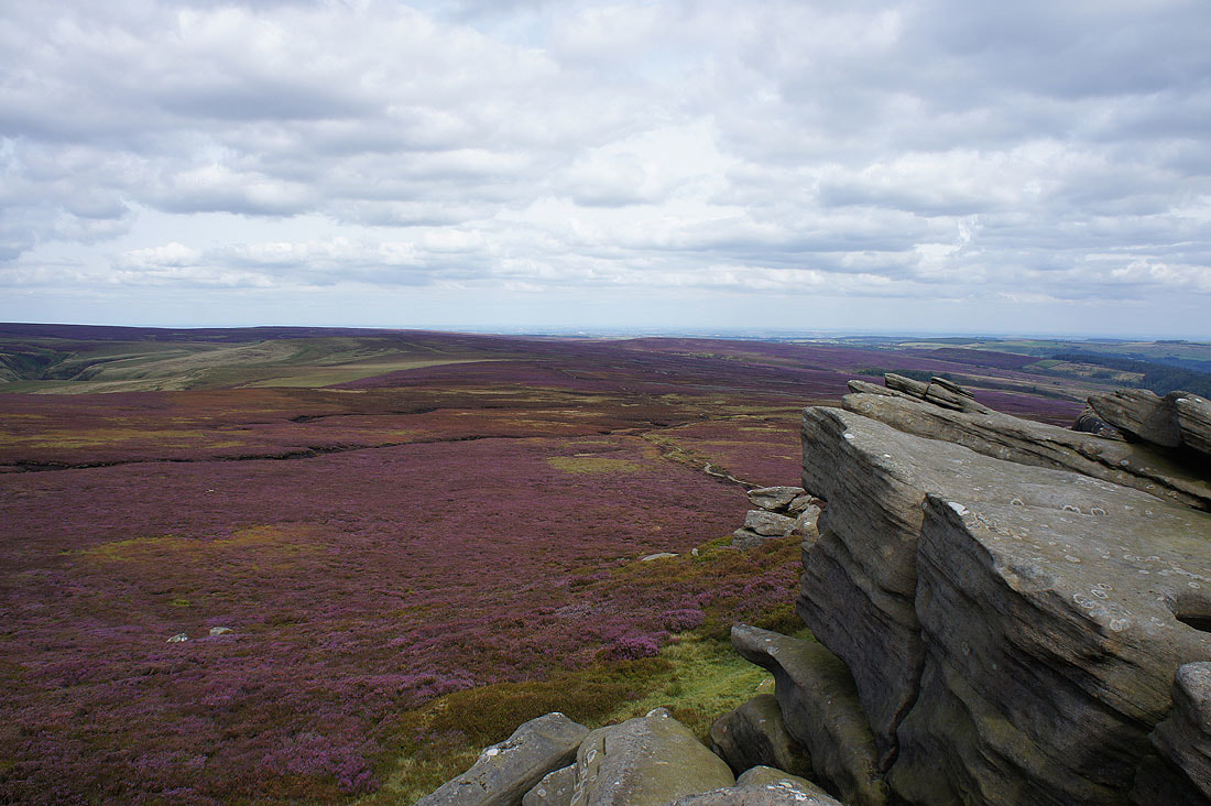
Sheffield in the distance to the east
Broomhead Moor and Bradfield Moors
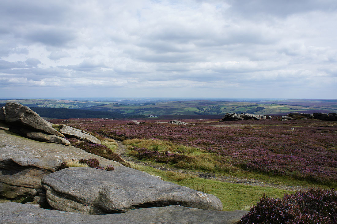
Looking south down Derwent Edge to Dovestone Tor with Win Hill in the distance
Leaving the summit crags behind
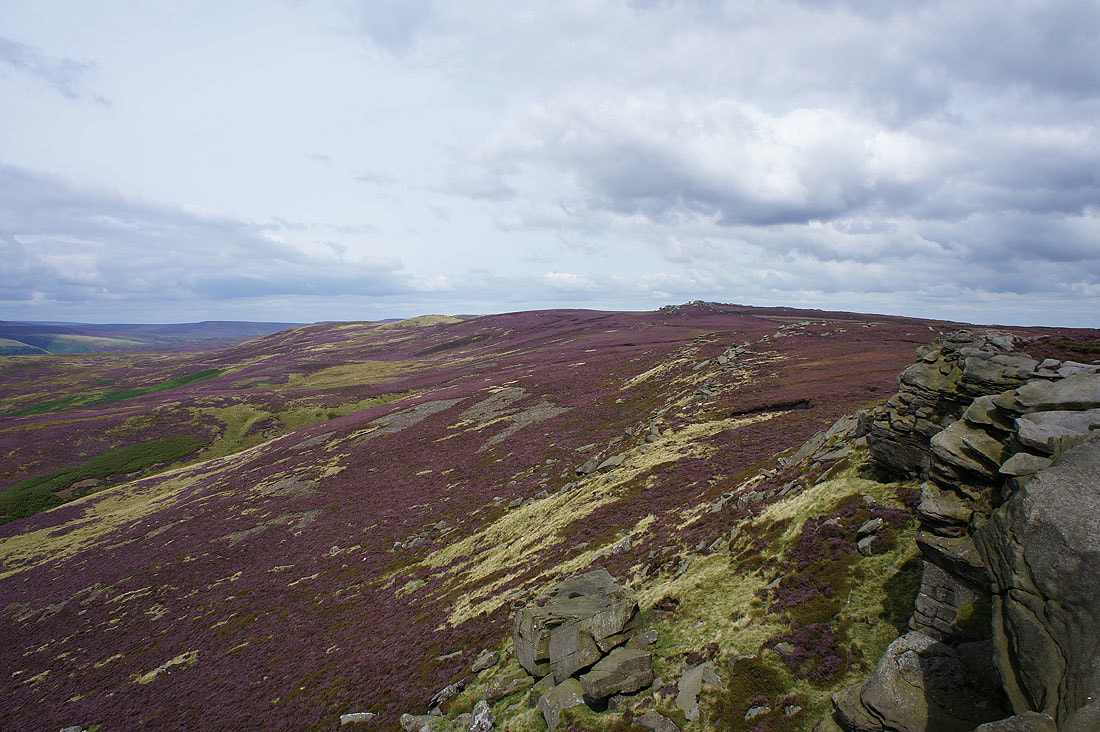
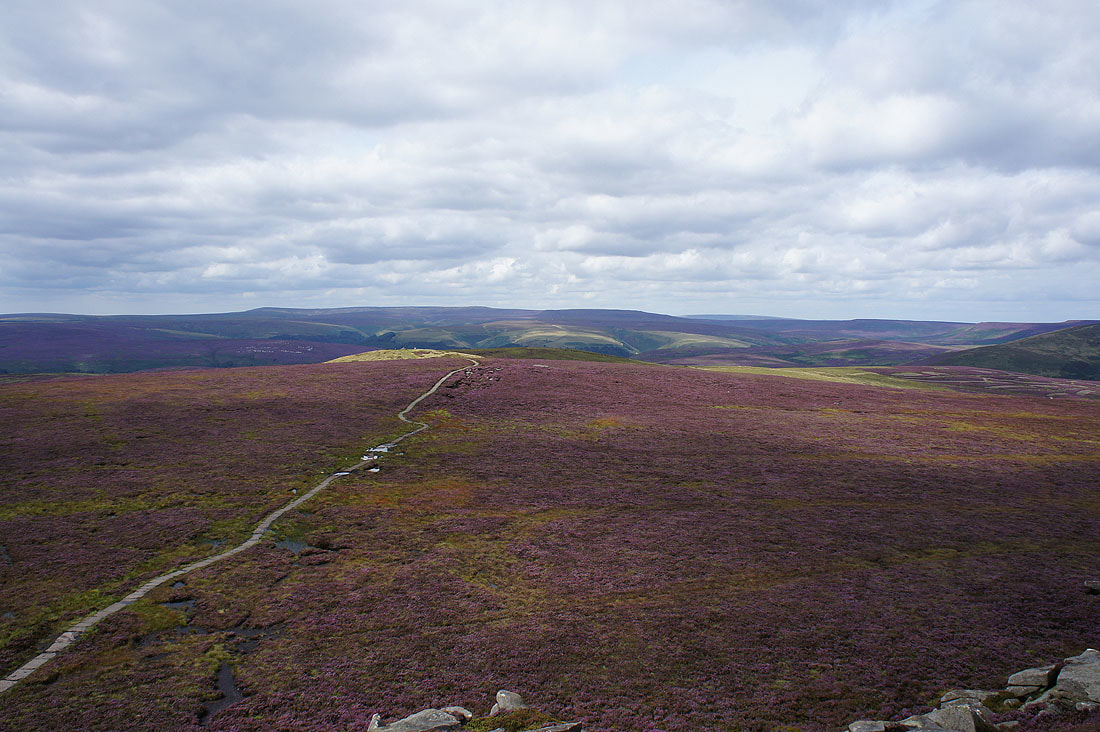
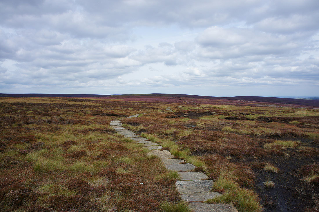
Heading north along Cartledge Stones Ridge
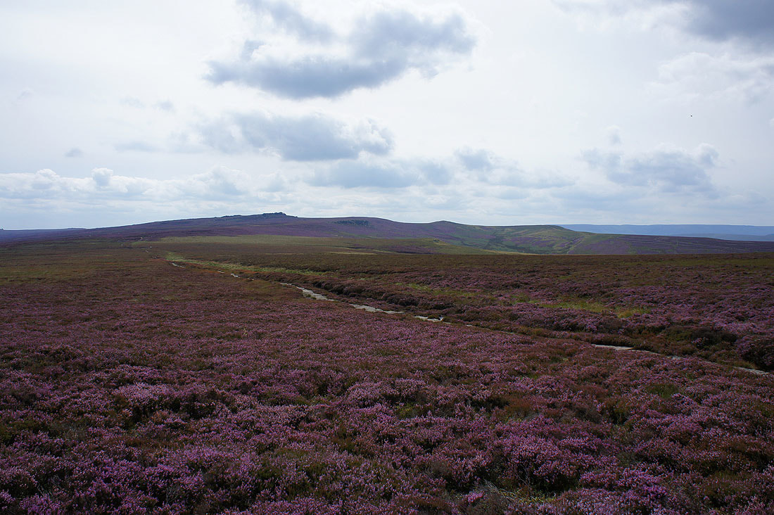
Looking back to Back Tor and Lost Lad
Couldn't resist taking another one with all the heather out
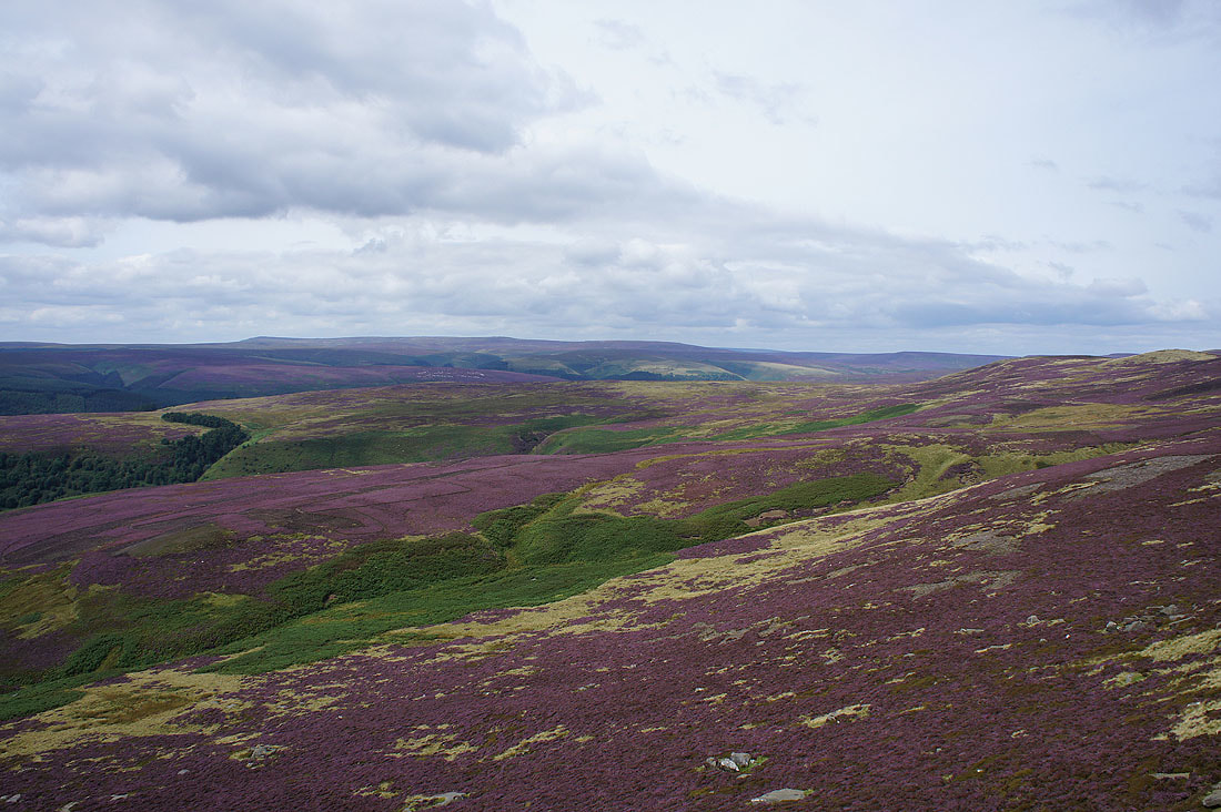
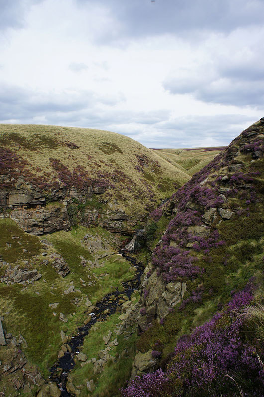
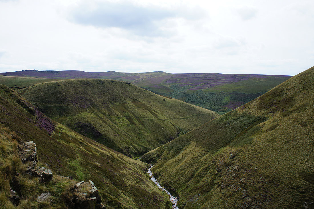
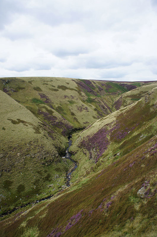
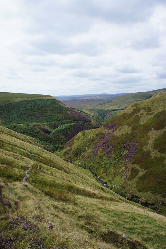
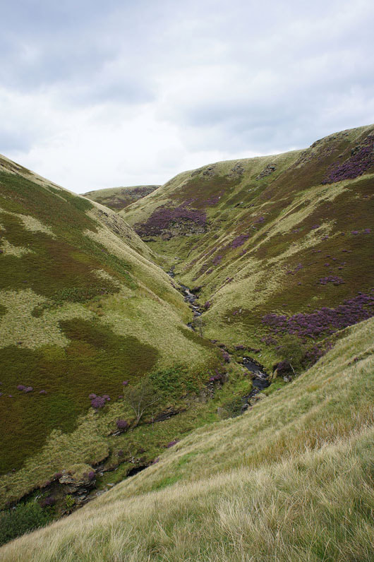
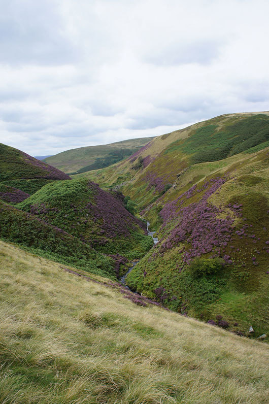
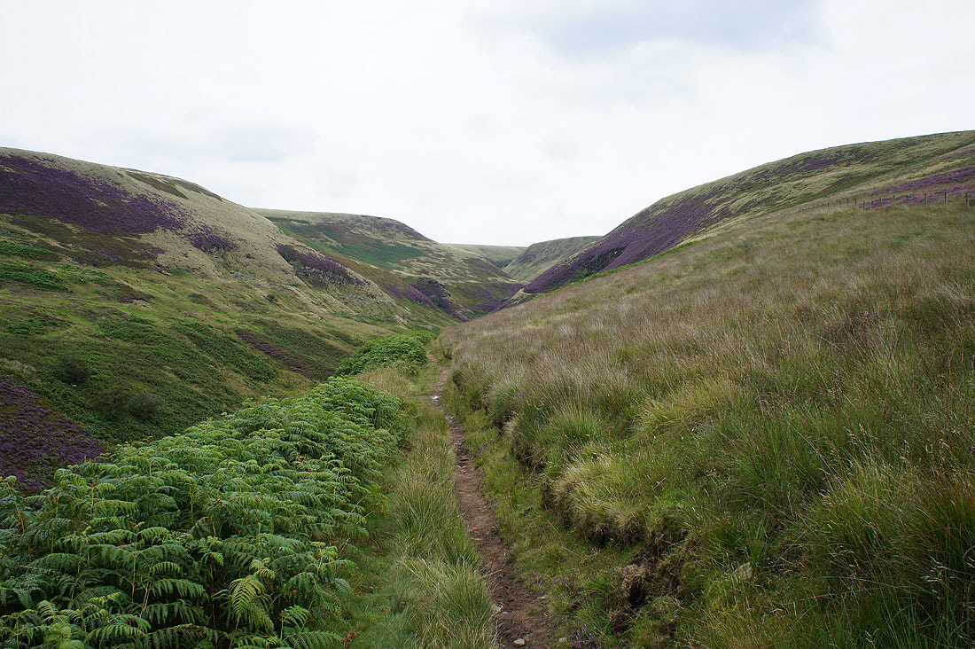
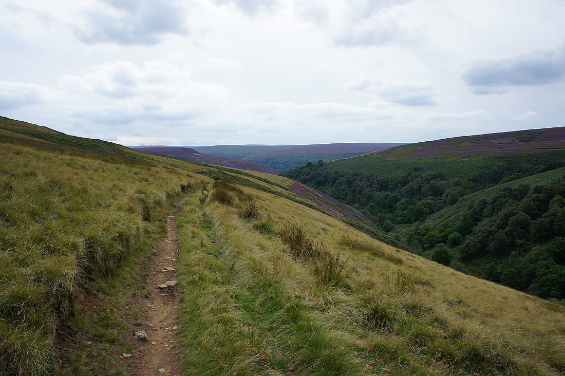
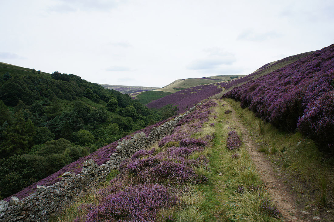
Cascades at the top of Abbey Brook. My route will now take me down Abbey Clough on a path that contours the hillside above the brook.
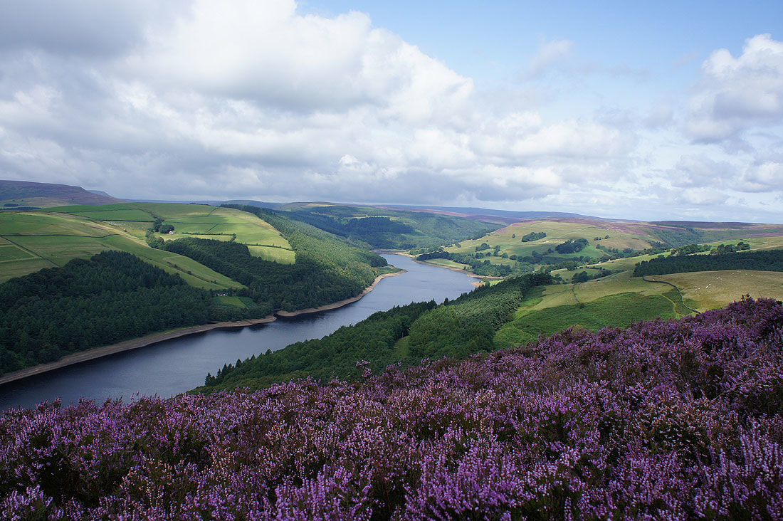
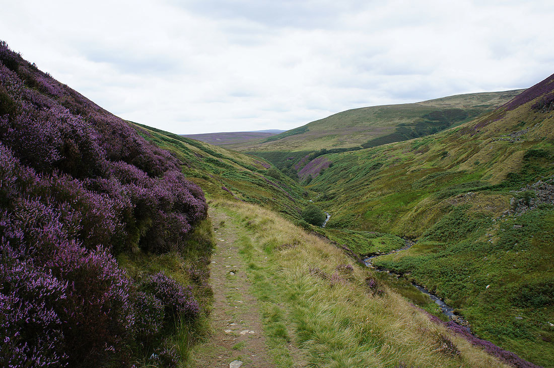
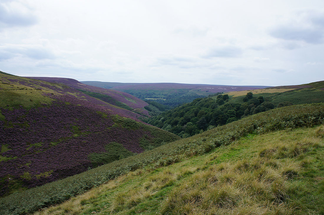
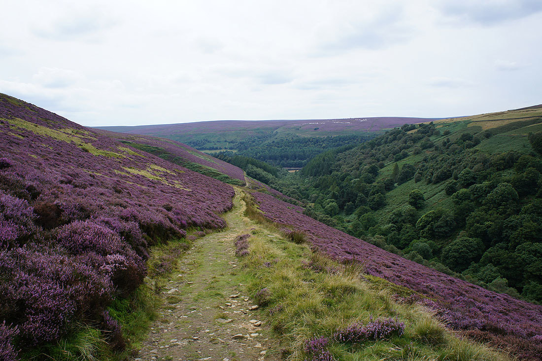
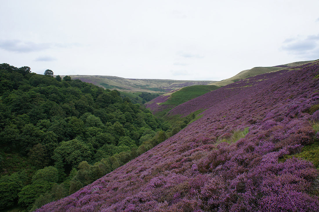
My favourite out of the photos that I took on the way down Abbey Clough............
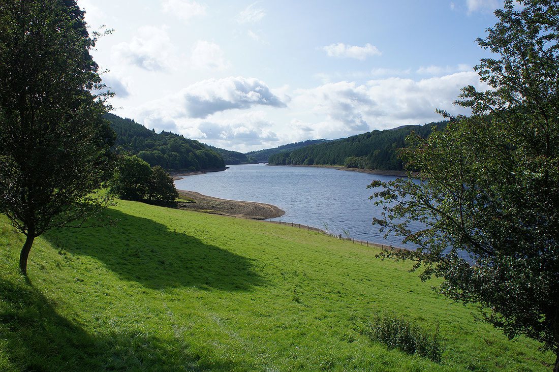
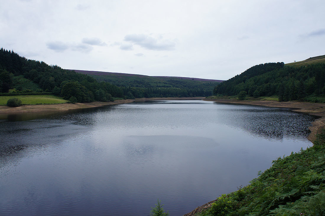
Back down by Derwent Reservoir for a return to Fairholmes
