20th August 2023 - Around Colsterdale
Walk Details
Distance walked: 12.8 miles
Total ascent: 1960 ft
OS map used: OL30 - Yorkshire Dales, Northern & Central areas, 298 - Nidderdale, and 302 - Northallerton & Thirsk
Time taken: 6.5 hrs
Route description: Gollinglith Foot-Six Dales Trail-Pott Moor High Road-Pott Moor-Dale Edge-South Haw-Steel House Gill-Colsterdale-Gollinglith Ridge-Twin Standing Stones-Coal Road-Gollinglith Foot
This time last year I paid my first visit to the little known and secretive valley of Colsterdale in the Yorkshire Dales, which is the valley of the River Burn and joins the River Ure just south of Masham. The route that I came up with, starting from the neighbouring valley of Coverdale, turned out to be a bit too long, and not particularly practical given the condition of some of the public rights of way. Afterwards I decided that I'd definitely go back, but actually visiting the dale itself, and given the fine display of flowering heather that I'd seen I also knew what time of year it would be. The route that I came up with for my walk this weekend started from Gollinglith Foot in Colsterdale, which meant quite a long drive, going via Lofthouse in Nidderdale and Pott Moor High Road, but this time most of the footpaths and bridleways were already familiar to me from previous walks. The forecast was for a day of reasonable summer weather with a mixture of cloud, sunny spells, and the chance of a light shower, though hopefully more sunshine than cloud to make the heather look at its best. The cloudiest part of the day turned out to be as I was making my way down into Colsterdale from South Haw. I thought that I was going to miss out, but fortunately it brightened up again to give me some great views of the heather covered moors around Colsterdale.
After parking by the side of the road at Gollinglith Foot I crossed the footbridge over the River Burn and took the trail of the Six Dales Trail. I followed this south across Spruce Gill Beck and up to Pickersgill House, up to the t-junction on the road above, then after a detour down the road to the "Leeds Pals" war memorial I walked up the road to Towler Hill. I kept on the Six Dales Trail and followed it south from Towler Hill down into and across Grimes Gill, up to the track to Grimes Gill House, and out to Pott Moor High Road. The trail was left behind here as I walked up Pott Moor High Road to reach the track up onto Pott Moor, which I followed west across Pott Moor to the bridleway on Dale Edge above Nidderdale, where I stopped for lunch. After this break I followed the bridleway north and west along Dale Edge, then took the bridleway north up the moor towards South Haw, and when the gate at the top of the bridleway was reached I made the short ascent to the top of South Haw. Once I'd taken in the view I made my way back down to the bridleway, which I followed north down into Steel House Gill. This bridleway soon joined a track and I walked down this into Colsterdale, crossing the River Burn at a ford to reach a shooting hut, and soon after passing this I took the upper one of two tracks along the side of Gollinglith Ridge. I followed this east and then south up onto Gollinglith Ridge, from where I could reach the Twin Standing Stones. After taking in the view I returned to the track and made my way down to the Coal Road opposite the bridge over the River Burn to High House Farm. I then followed the Coal Road all the way down to Gollinglith Foot, where I crossed the footbridge over the River Burn to return to where I'd parked my car.
Total ascent: 1960 ft
OS map used: OL30 - Yorkshire Dales, Northern & Central areas, 298 - Nidderdale, and 302 - Northallerton & Thirsk
Time taken: 6.5 hrs
Route description: Gollinglith Foot-Six Dales Trail-Pott Moor High Road-Pott Moor-Dale Edge-South Haw-Steel House Gill-Colsterdale-Gollinglith Ridge-Twin Standing Stones-Coal Road-Gollinglith Foot
This time last year I paid my first visit to the little known and secretive valley of Colsterdale in the Yorkshire Dales, which is the valley of the River Burn and joins the River Ure just south of Masham. The route that I came up with, starting from the neighbouring valley of Coverdale, turned out to be a bit too long, and not particularly practical given the condition of some of the public rights of way. Afterwards I decided that I'd definitely go back, but actually visiting the dale itself, and given the fine display of flowering heather that I'd seen I also knew what time of year it would be. The route that I came up with for my walk this weekend started from Gollinglith Foot in Colsterdale, which meant quite a long drive, going via Lofthouse in Nidderdale and Pott Moor High Road, but this time most of the footpaths and bridleways were already familiar to me from previous walks. The forecast was for a day of reasonable summer weather with a mixture of cloud, sunny spells, and the chance of a light shower, though hopefully more sunshine than cloud to make the heather look at its best. The cloudiest part of the day turned out to be as I was making my way down into Colsterdale from South Haw. I thought that I was going to miss out, but fortunately it brightened up again to give me some great views of the heather covered moors around Colsterdale.
After parking by the side of the road at Gollinglith Foot I crossed the footbridge over the River Burn and took the trail of the Six Dales Trail. I followed this south across Spruce Gill Beck and up to Pickersgill House, up to the t-junction on the road above, then after a detour down the road to the "Leeds Pals" war memorial I walked up the road to Towler Hill. I kept on the Six Dales Trail and followed it south from Towler Hill down into and across Grimes Gill, up to the track to Grimes Gill House, and out to Pott Moor High Road. The trail was left behind here as I walked up Pott Moor High Road to reach the track up onto Pott Moor, which I followed west across Pott Moor to the bridleway on Dale Edge above Nidderdale, where I stopped for lunch. After this break I followed the bridleway north and west along Dale Edge, then took the bridleway north up the moor towards South Haw, and when the gate at the top of the bridleway was reached I made the short ascent to the top of South Haw. Once I'd taken in the view I made my way back down to the bridleway, which I followed north down into Steel House Gill. This bridleway soon joined a track and I walked down this into Colsterdale, crossing the River Burn at a ford to reach a shooting hut, and soon after passing this I took the upper one of two tracks along the side of Gollinglith Ridge. I followed this east and then south up onto Gollinglith Ridge, from where I could reach the Twin Standing Stones. After taking in the view I returned to the track and made my way down to the Coal Road opposite the bridge over the River Burn to High House Farm. I then followed the Coal Road all the way down to Gollinglith Foot, where I crossed the footbridge over the River Burn to return to where I'd parked my car.
Route map
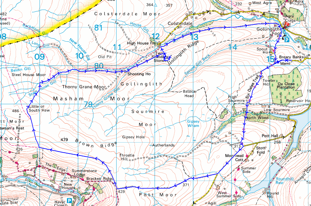
© Crown copyright. All rights reserved. License number PU 100034184.
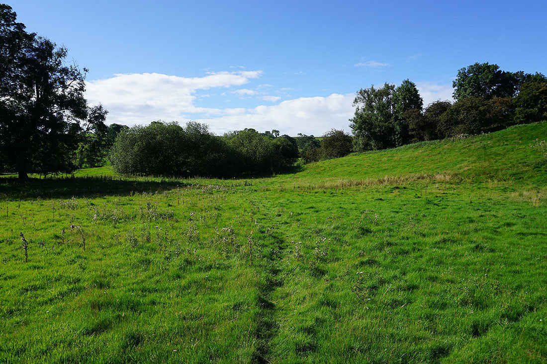
From Gollinglith Foot I take the trail of the Six Dales Trail up to Pickersgill House
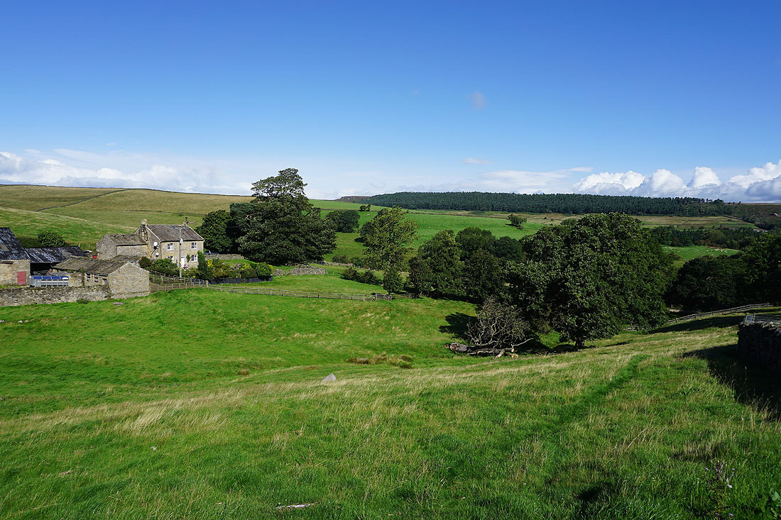
Looking back as I reach Pickersgill House, with Spout House on the left
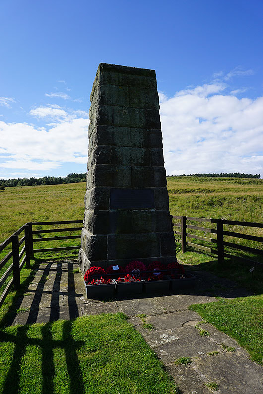
A short detour took me to the 15th (Service) Batt West Yorkshire Regiment "Leeds Pals" WW1 Memorial Cairn
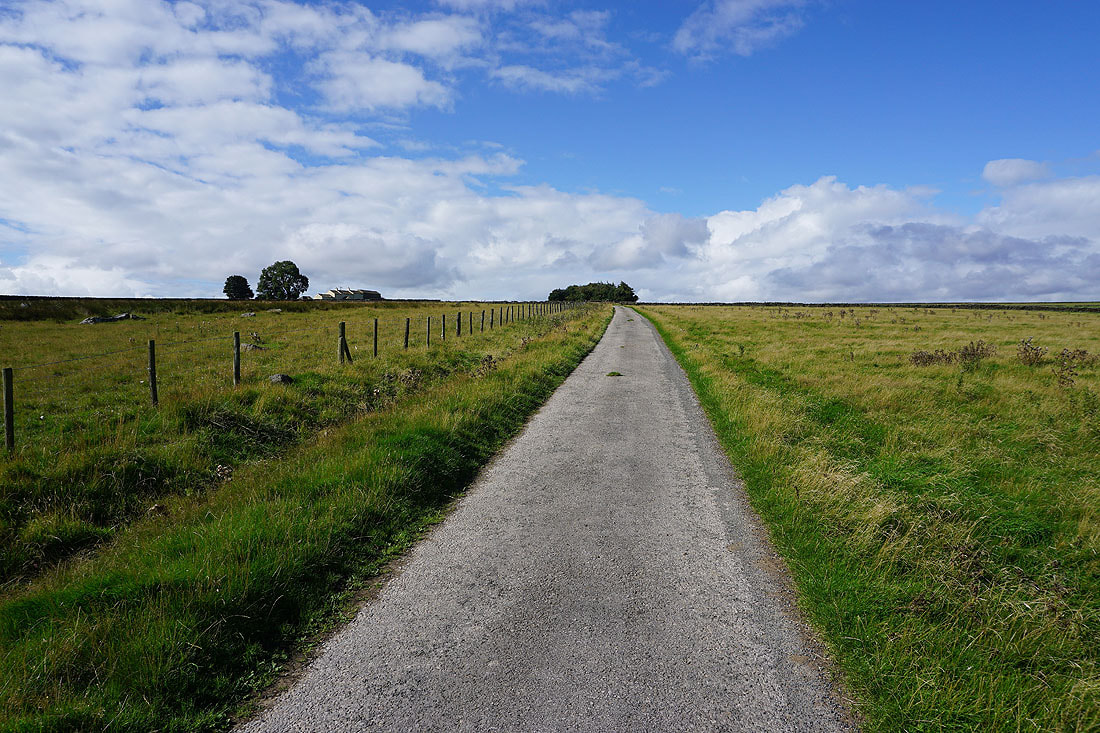
Walking up the road to Towler Hill
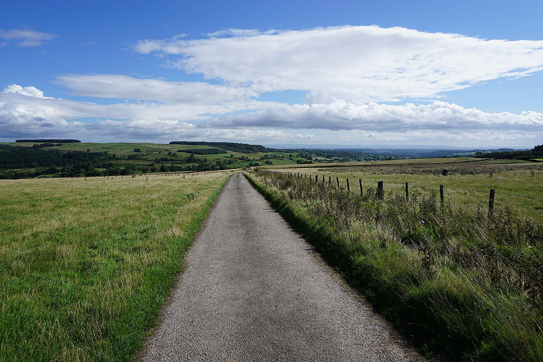
Looking back across Colsterdale
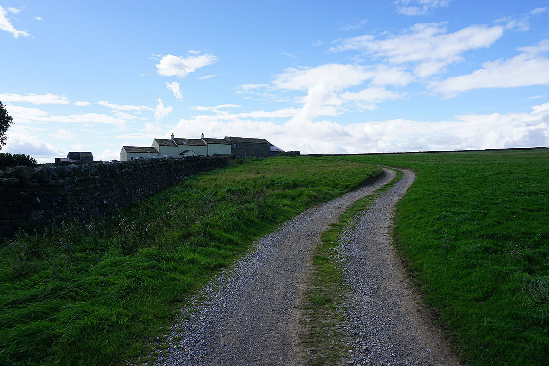
The Six Dales Trail heads up the track to Towler Hill
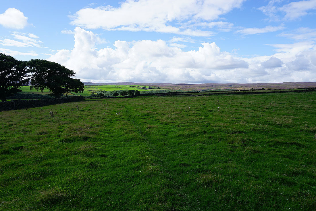
Past Towler Hill and I follow the trail south down into Grimes Gill...
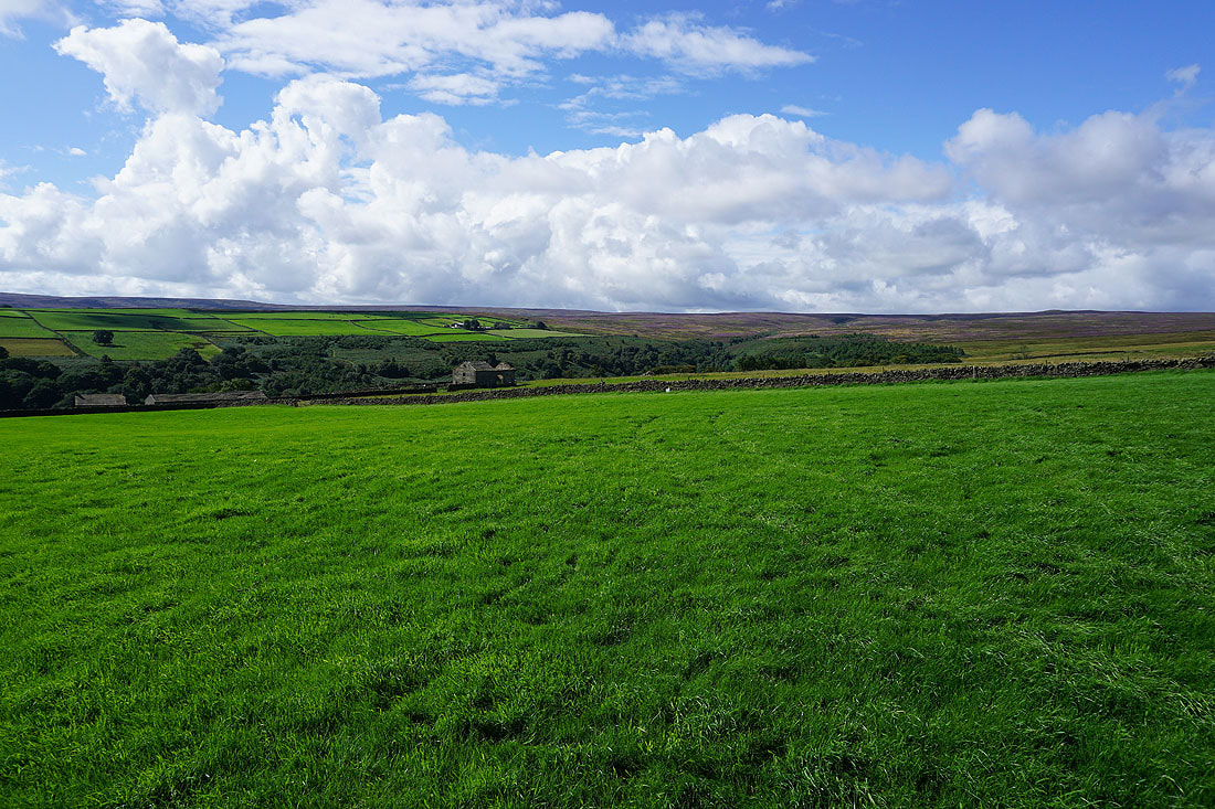
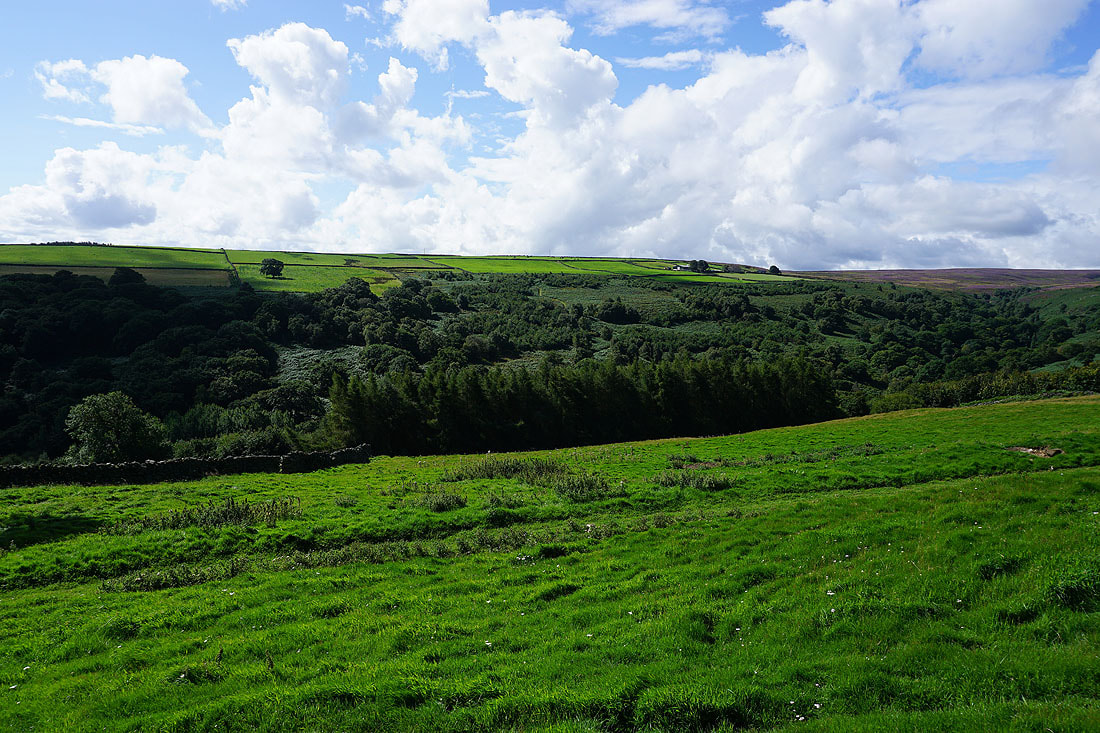
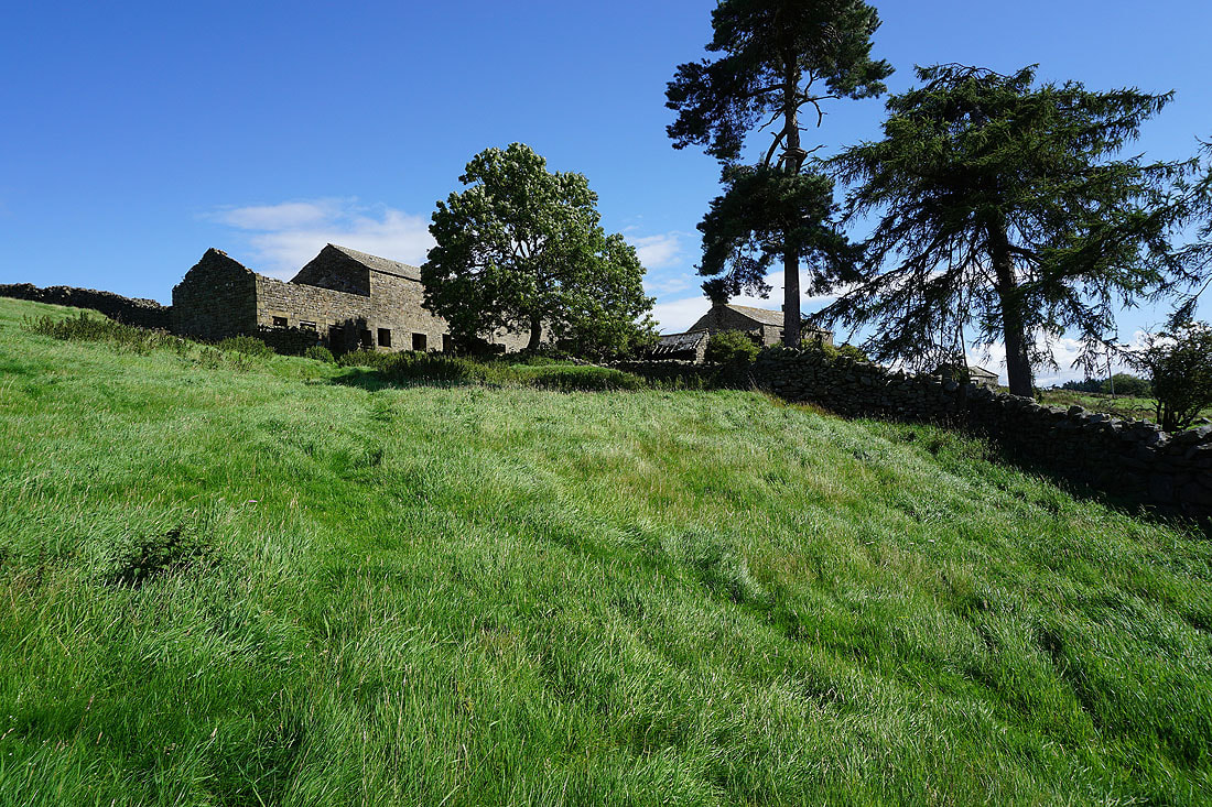
Past the ruins of High Sourmire
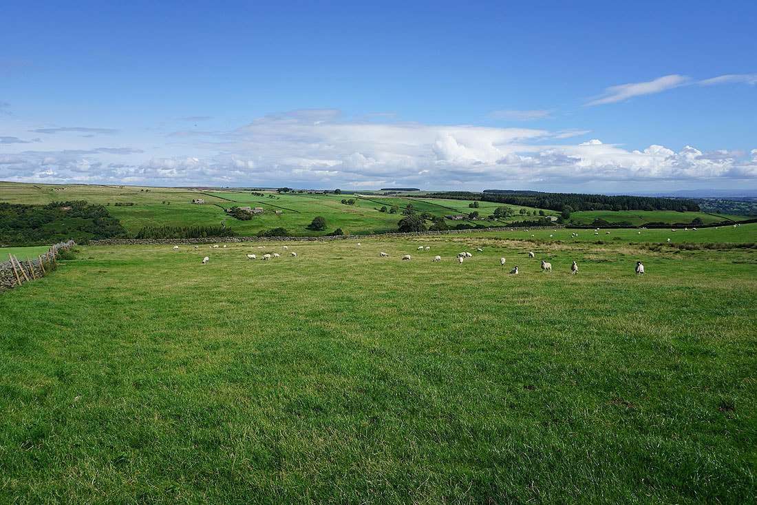
Looking back across Grimes Gill..
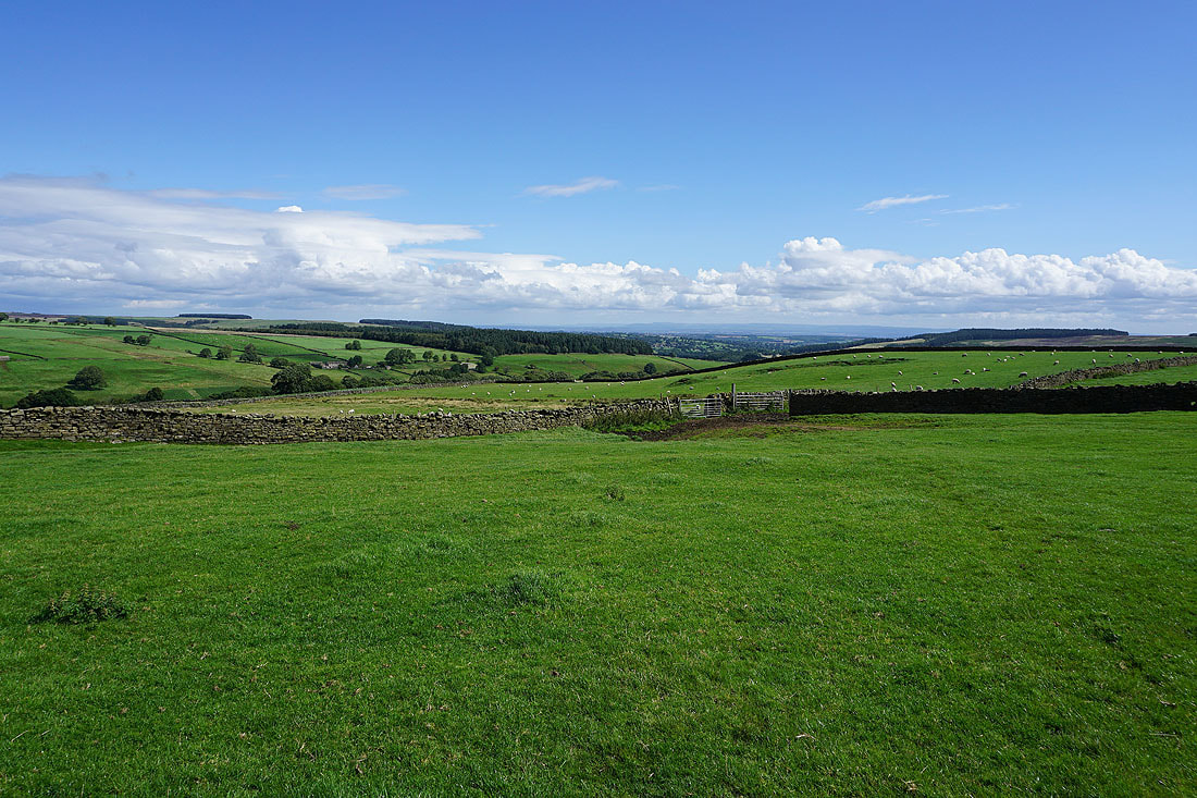
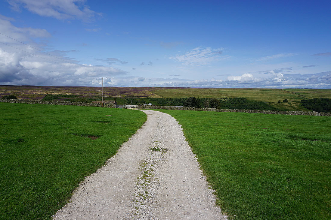
On the track to Grimes Gill House. Plenty of heather in bloom on the moorland beyond.
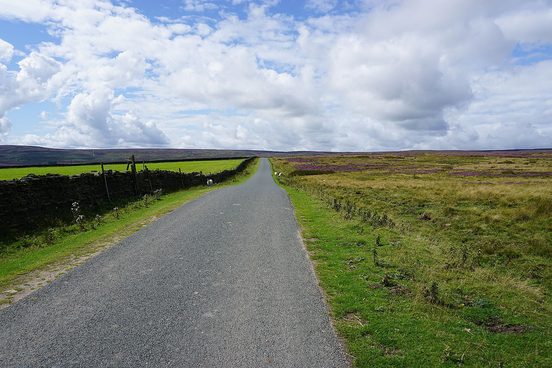
The Six Dales Trail is left behind as I walk up Pott Moor High Road
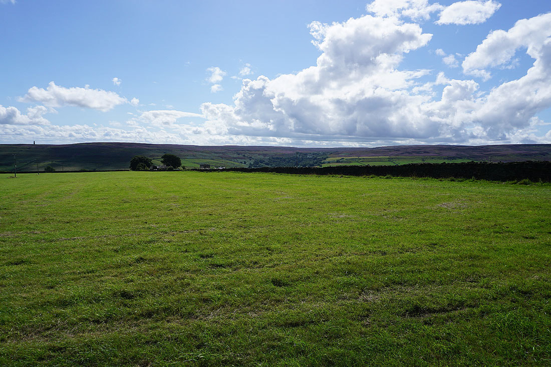
Arnagill Moor and High Ash Head Moor to my left..
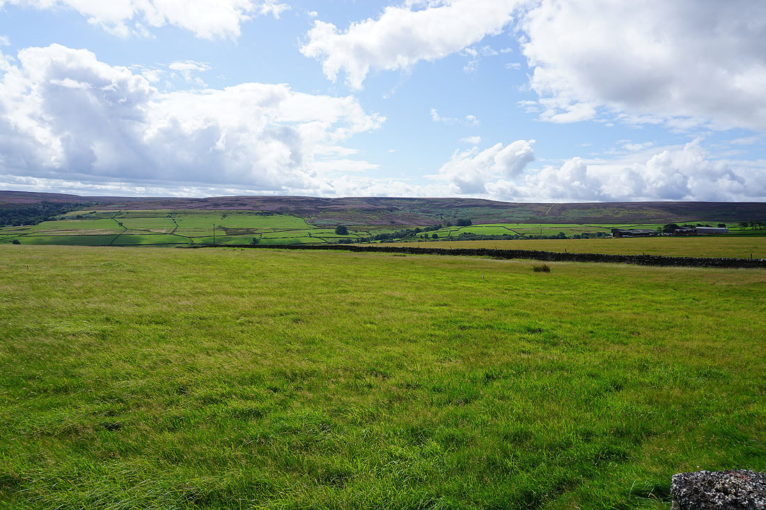
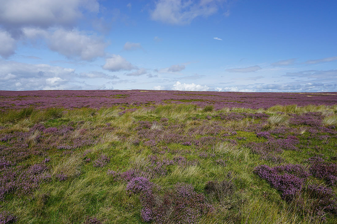
Purple heather with blue skies above from the moorland by the side of the road
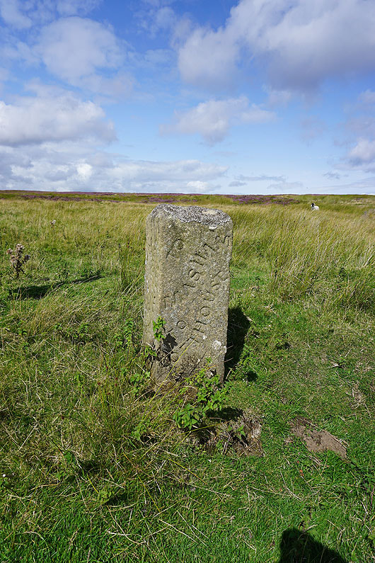
Along with a milestone
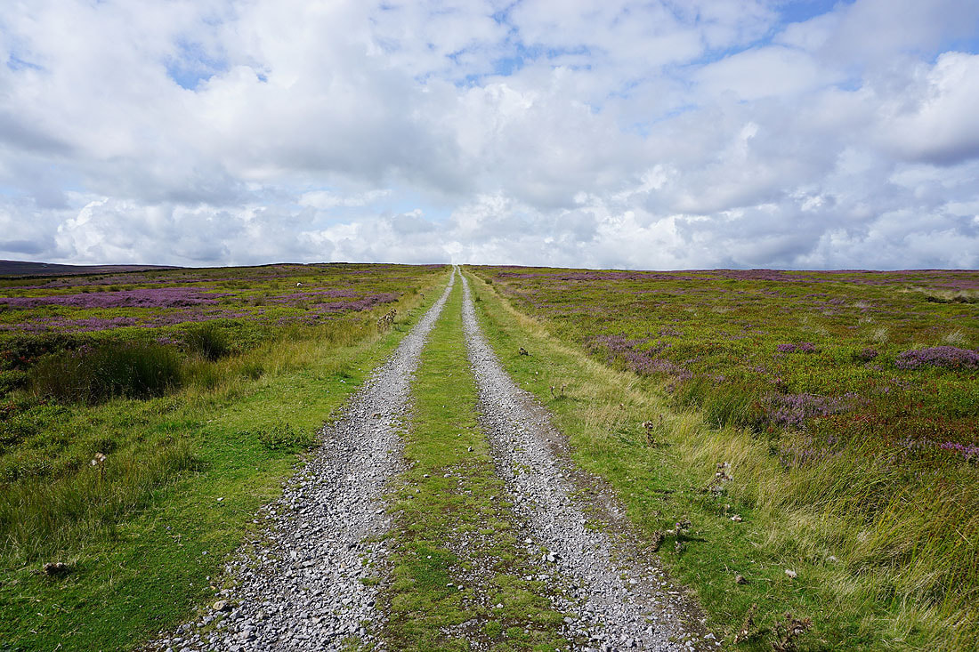
Leaving Pott Moor High Road I take the track up Pott Moor
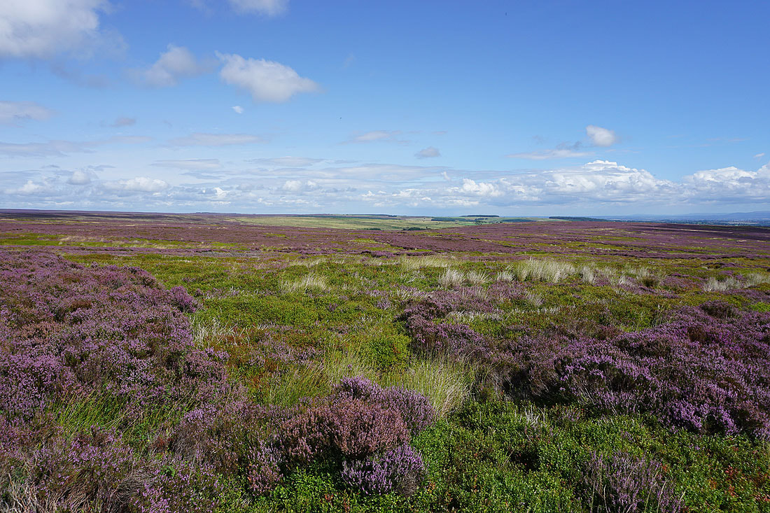
Heather covered moors around Grimes Gill
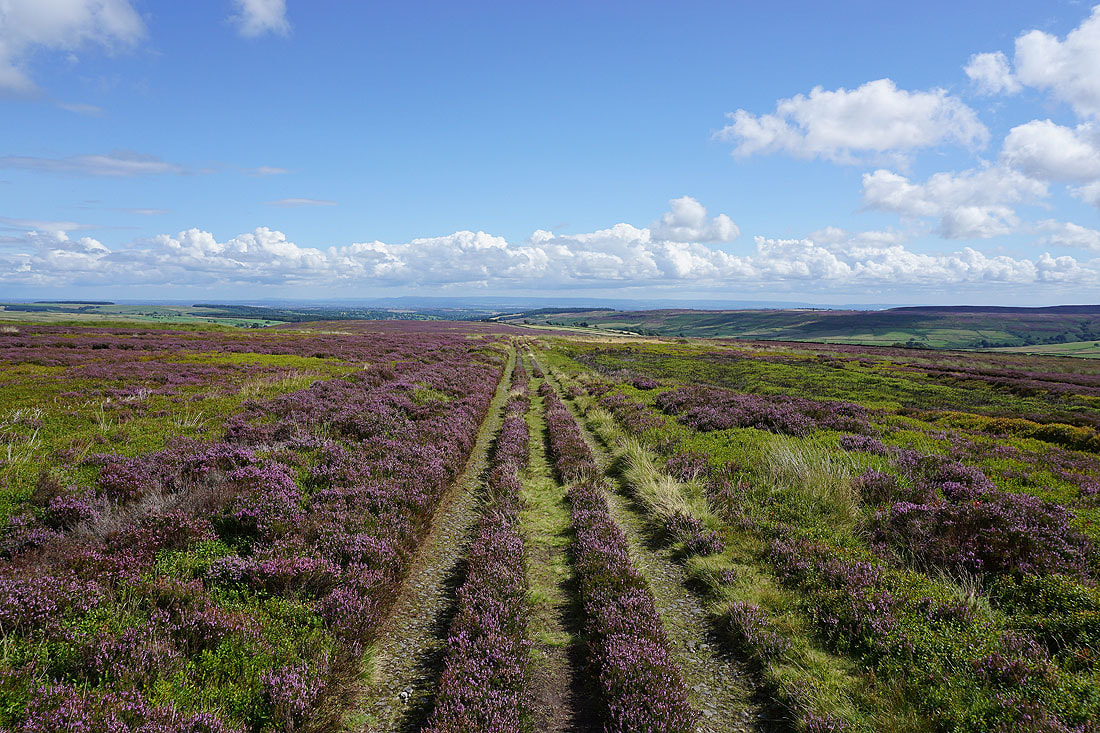
Great views as I look back down the track to the valley of Pott Beck, with the North York Moors in the far distance
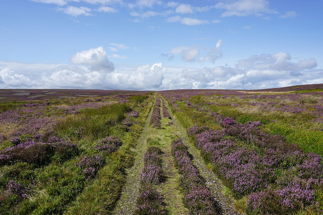
Crossing Pott Moor
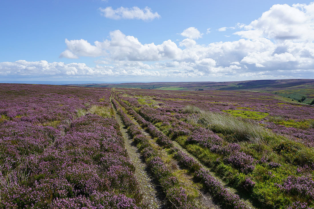
Looking back across the valley of Pott Beck to Arnagill Moor and High Ash Head Moor..
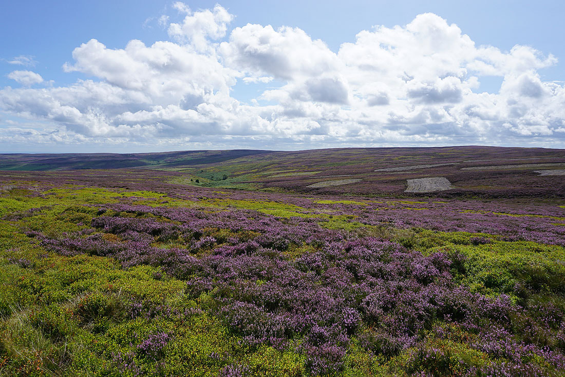
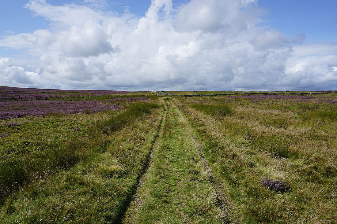
The gate ahead means that I'm almost at the top of the track
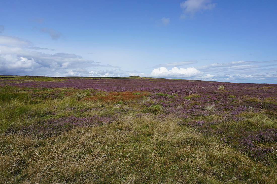
I reach the gate at the top of the track, and before I pass through a look north along the moorland wall to Throstle Hill on Masham Moor
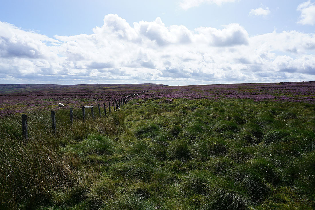
On the other side of the gate and a fence heads south towards Ouster Bank
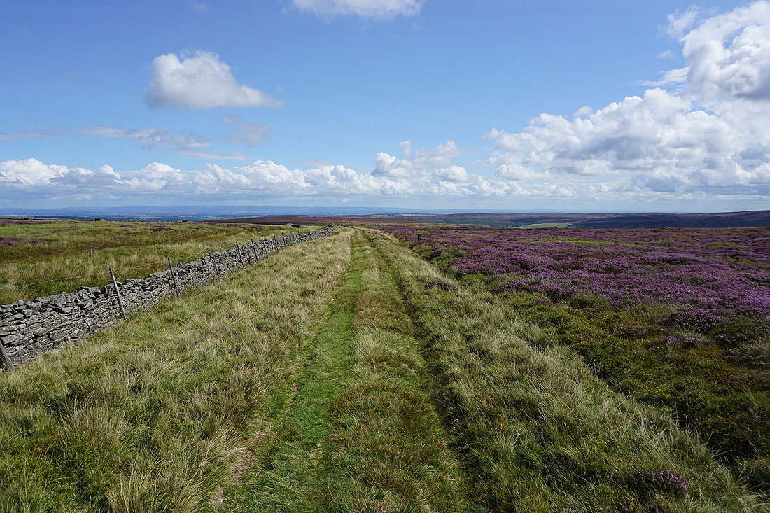
Looking back across Pott Moor
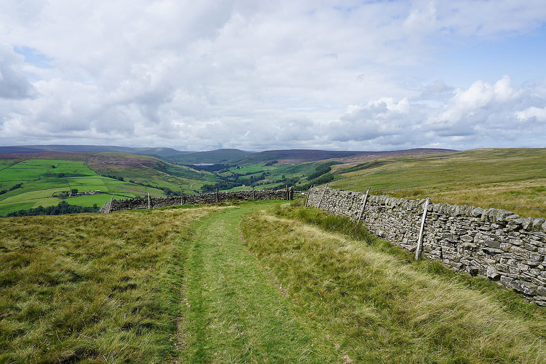
As I cross the top of the moor the view towards the head of Nidderdale appears
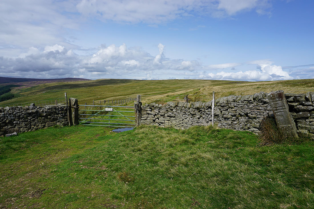
I reach the junction of bridleways on Dale Edge. After a break for lunch I'll be going through that gate to follow the bridleway north.
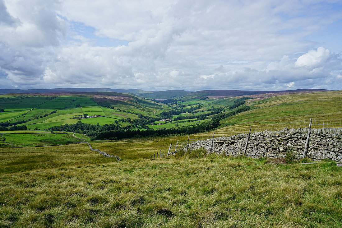
Before I do I take in the view of In Moor, Great Whernside, Little Whernside and Carle Fell around the head of Nidderdale
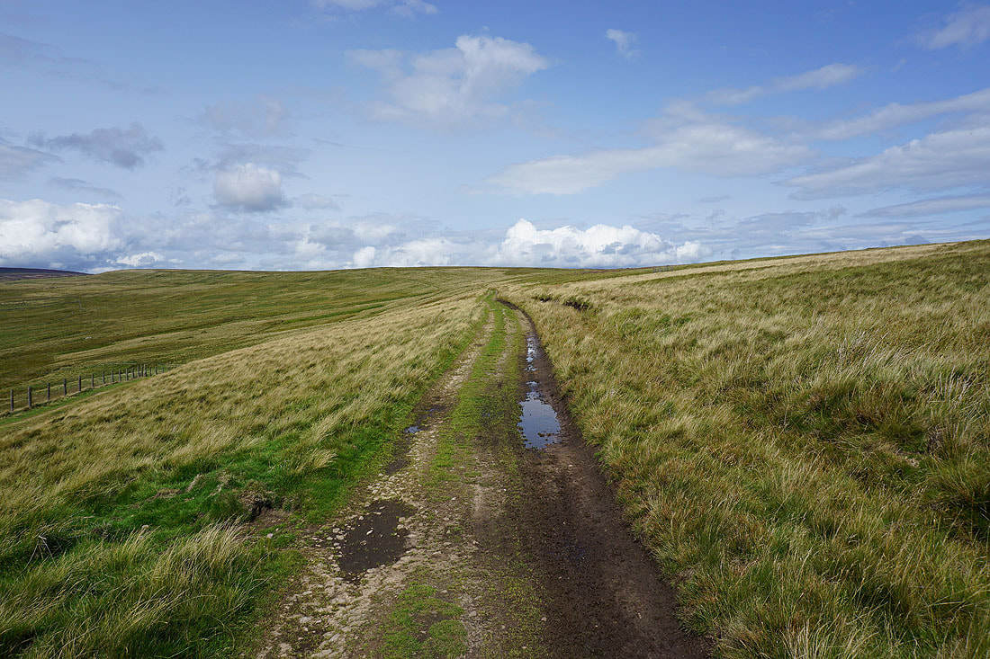
Heading north along the bridleway on Dale Edge
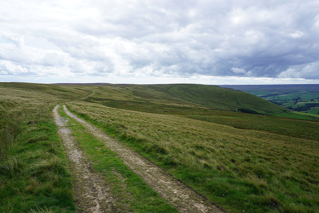
Looking back south to Thrope Edge
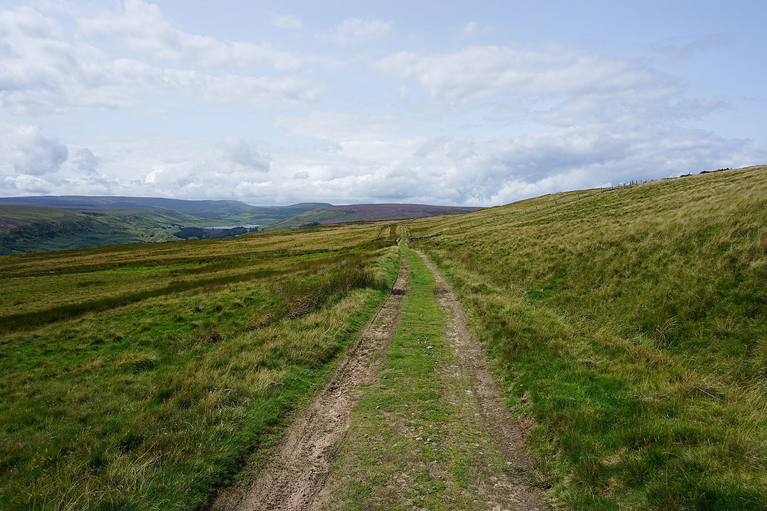
Great views of Nidderdale as I follow the bridleway west...
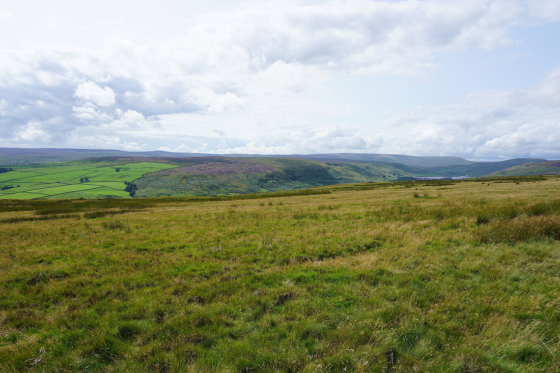
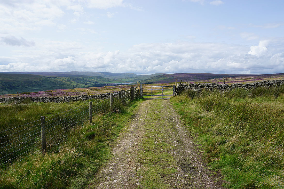
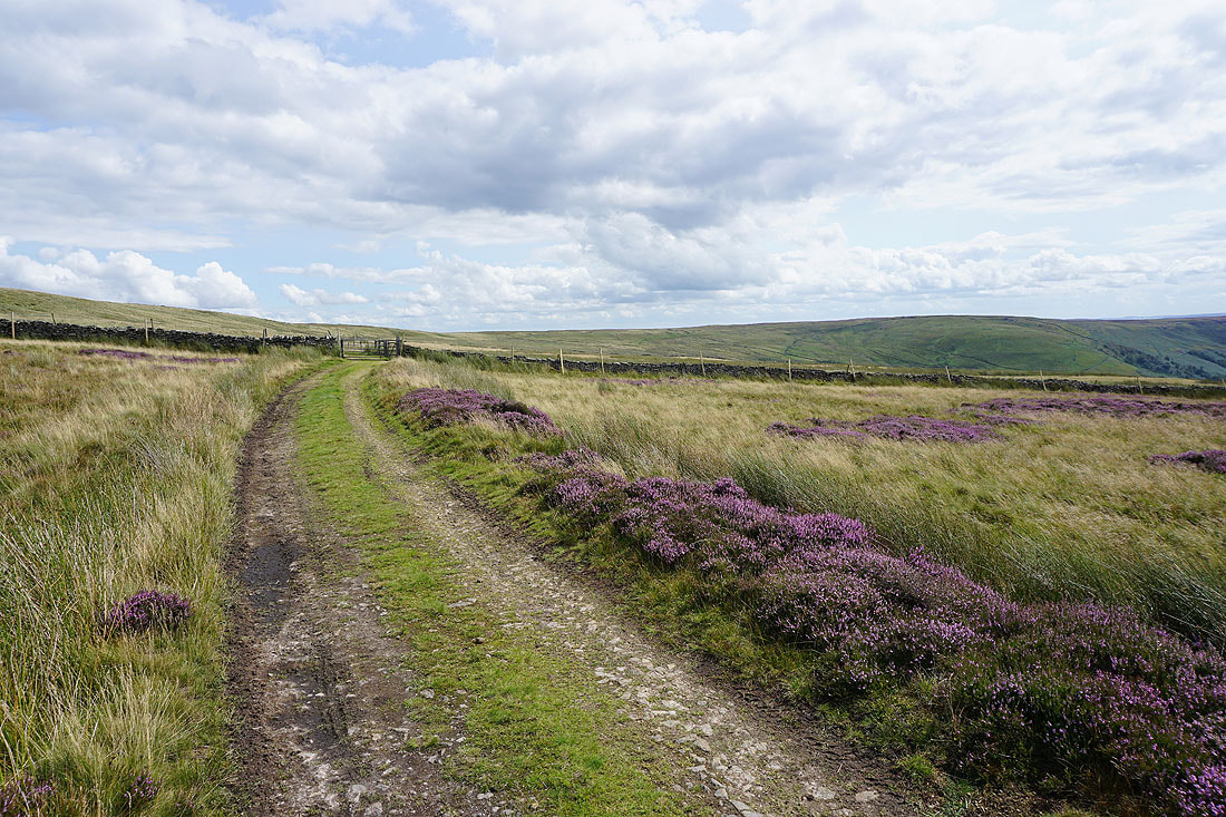
Looking back along Dale Edge
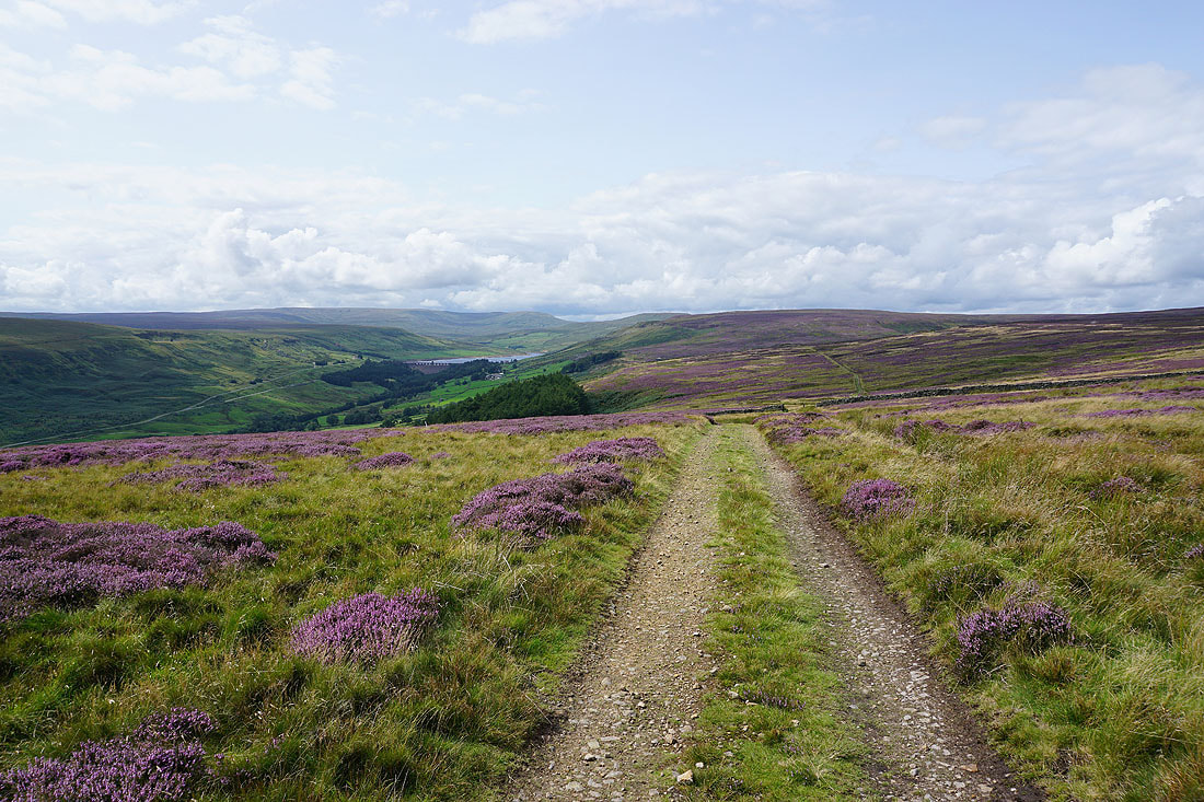
As the track heads downhill with the plantation below on the left it's my cue to leave it for the bridleway up to South Haw and across to Colsterdale
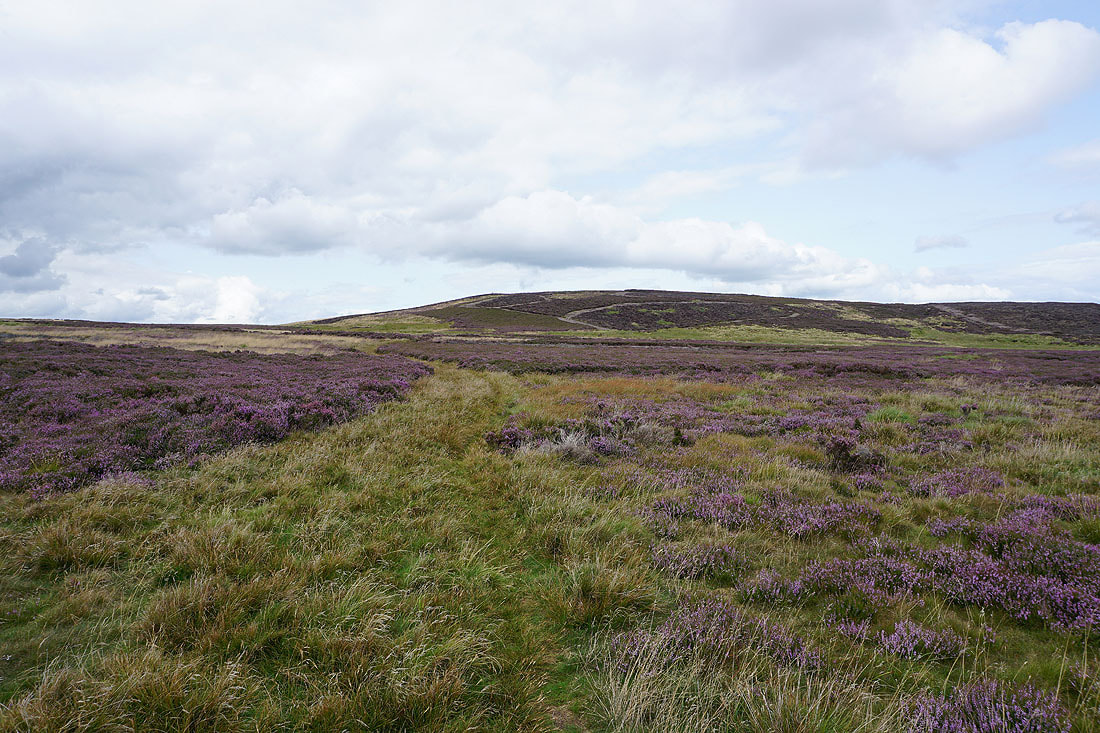
Approaching South Haw
On the top of South Haw. Looking east across Masham Moor to Colsterdale, with Lower Wensleydale and the outline of the North York Moors in the distance.
Looking towards Great Whernside and the other fells around the head of Nidderdale. Those skies look a bit threatening.
Great Haw to the northwest
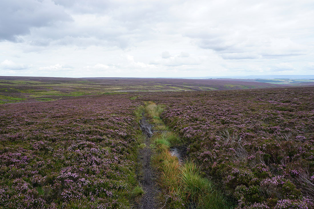
I've made my way down from South Haw and back onto the bridleway that crosses the moor to its west. Following it north down into Steel House Gill..
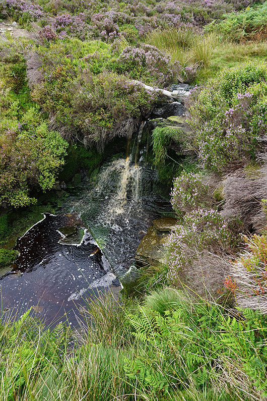
A small waterfall on Steel House Gill
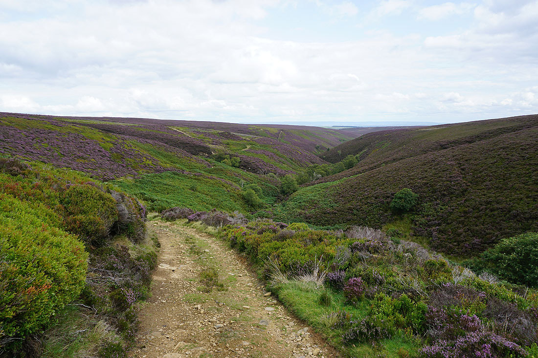
A clear track descends into Colsterdale to where Steel House Gill and Long Gill meet and the River Burn begins...
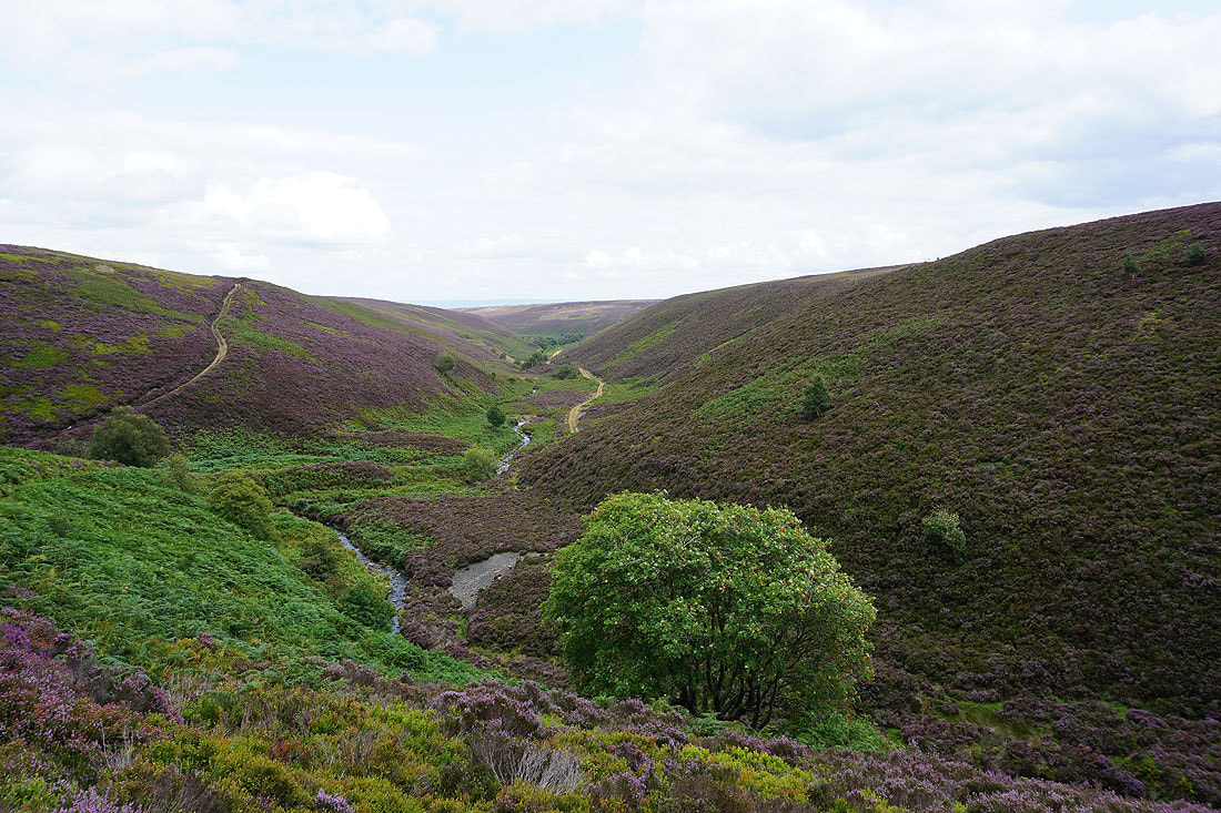
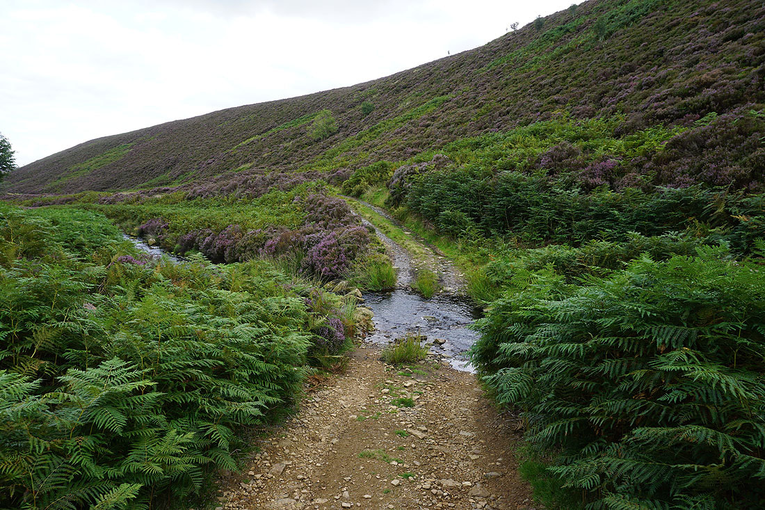
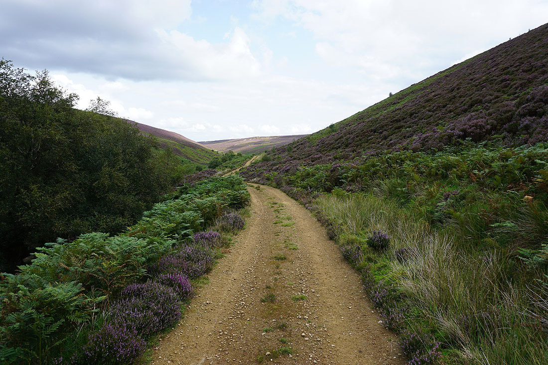
Following the track east above the River Burn
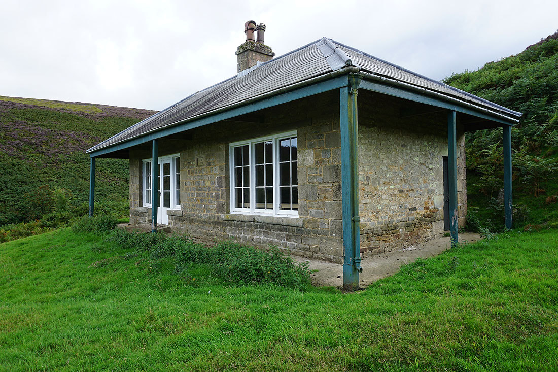
Passing the shooting house that's on the map
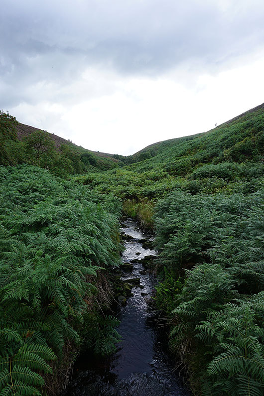
Looking up Thorny Grane Gill from by the shooting house
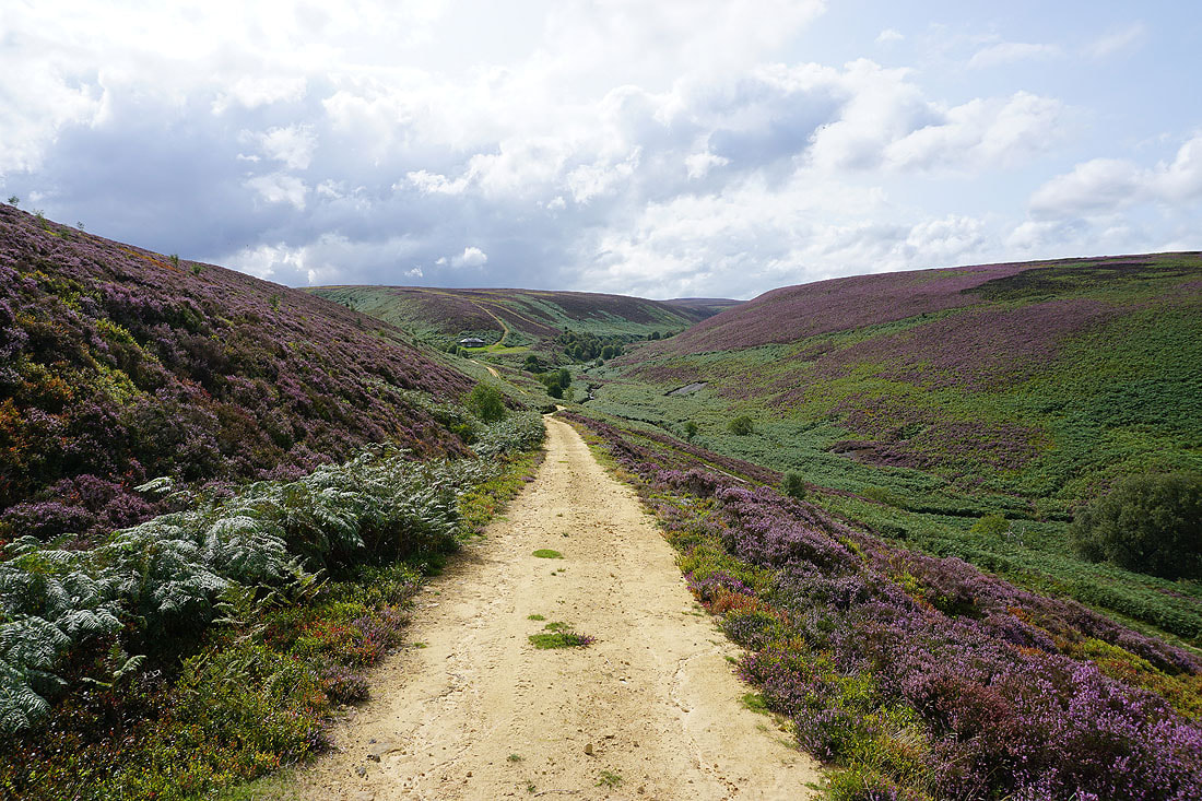
Looking back to the shooting house below Thorny Grane Moor. I'm glad that the sun is back out, it needs to be to really bring out the purple of the heather.
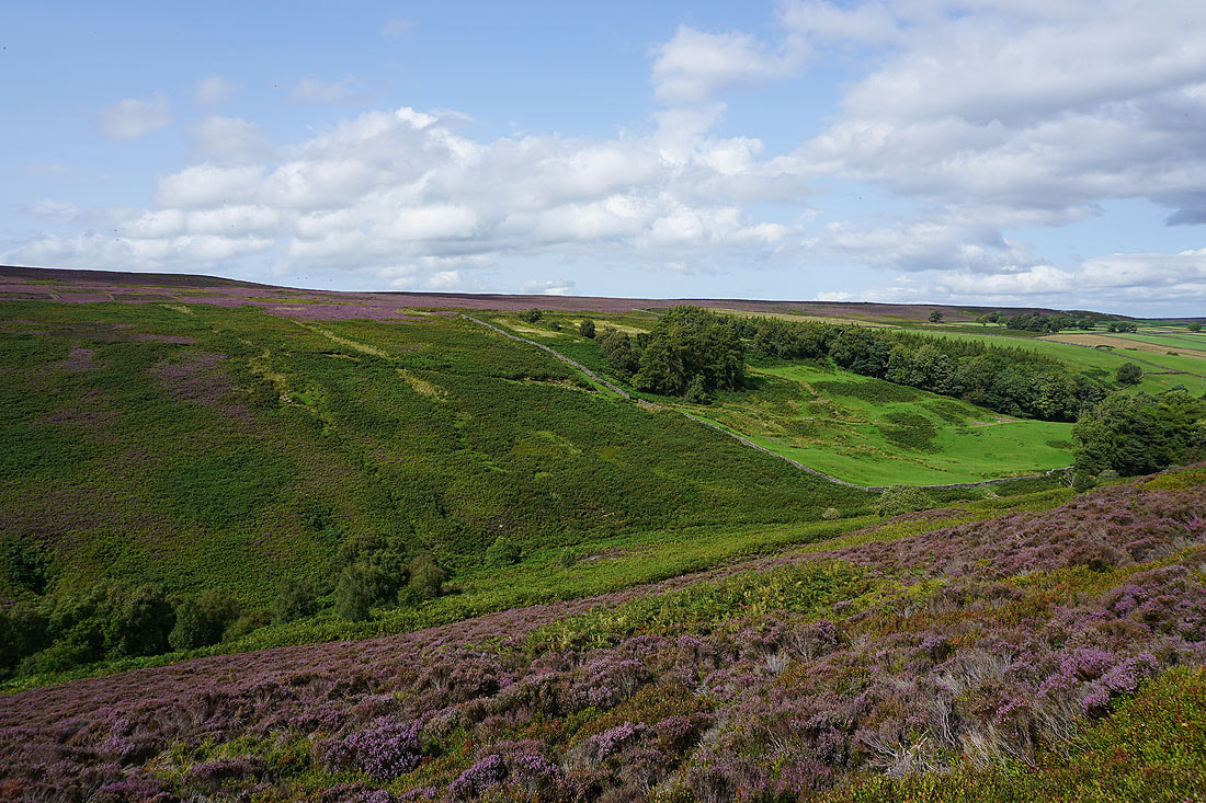
and across Colsterdale to Colsterdale Moor
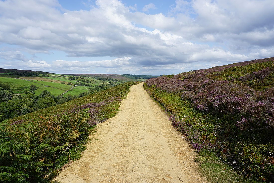
Taking the higher of two tracks I head up along the side of Gollinglith Ridge
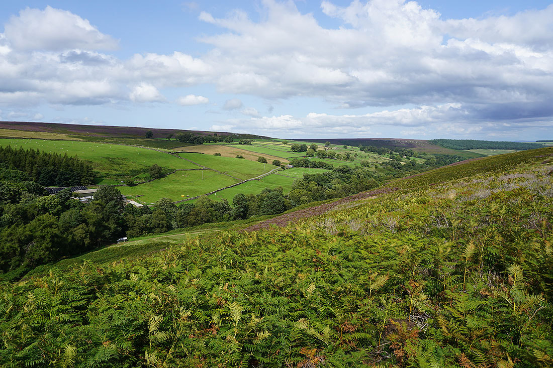
High House Farm and Colsterdale
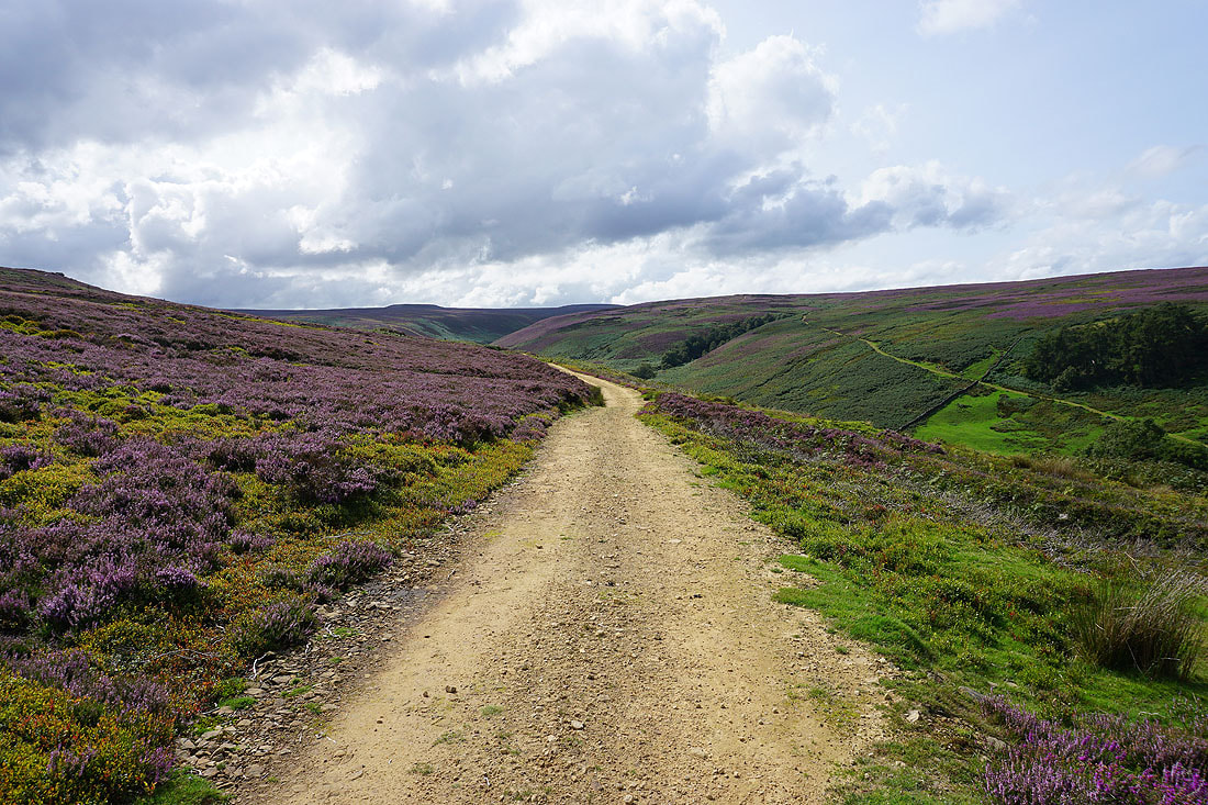
Looking up Colsterdale to Great Haw and Steel House Moor
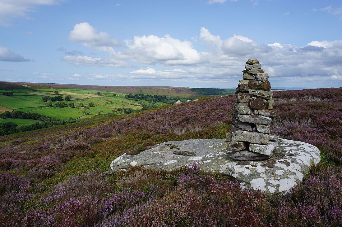
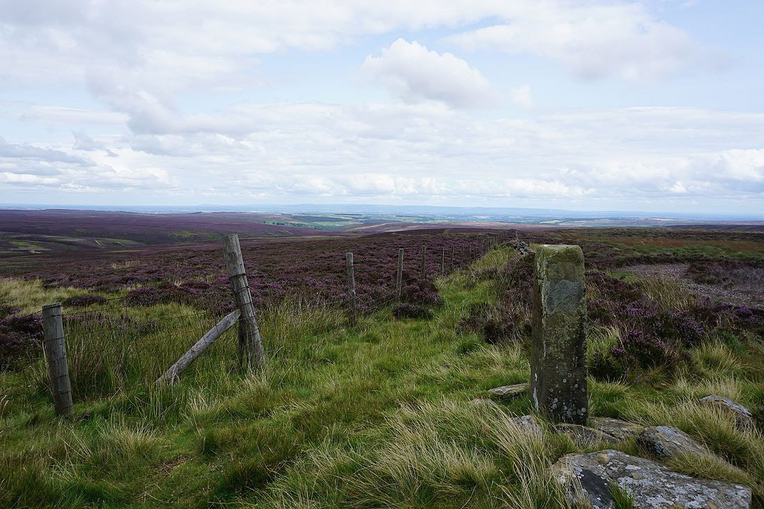
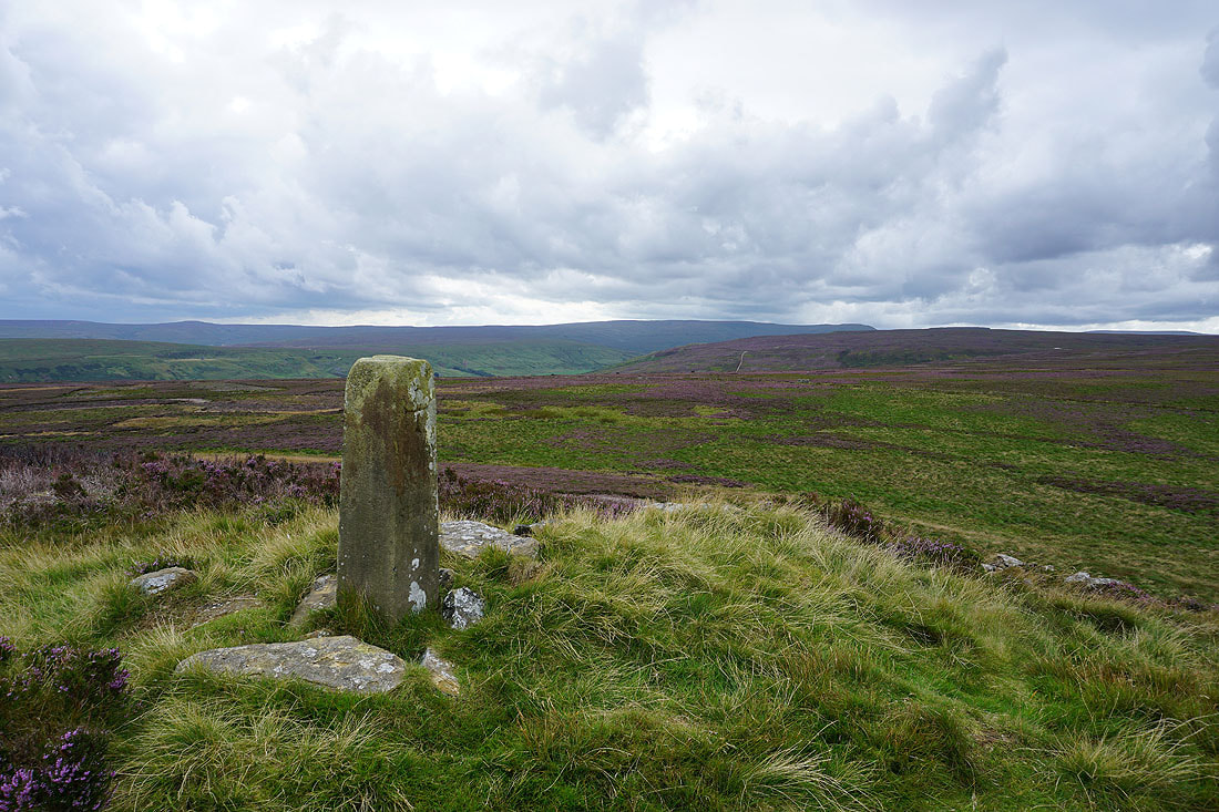
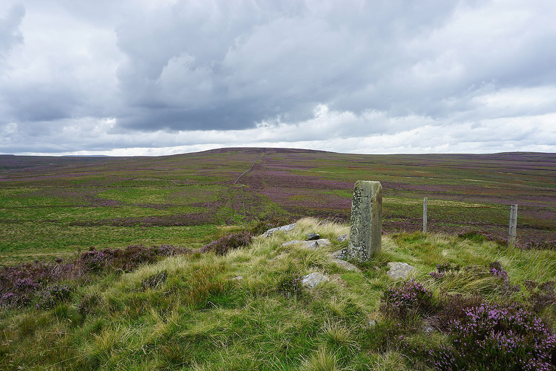
The reason for taking the track up onto Gollinglith Ridge, the Twin Standing Stones that are marked on the map
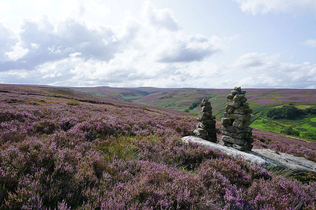
There's a great view of the moorland around the top of Colsterdale from them..
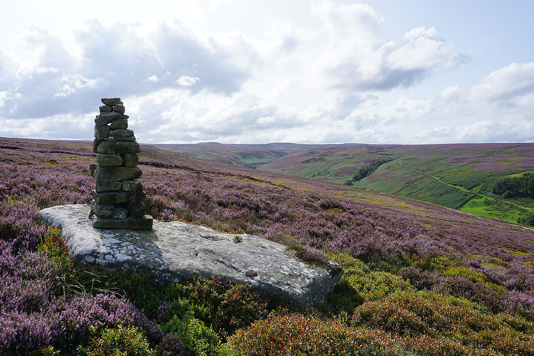
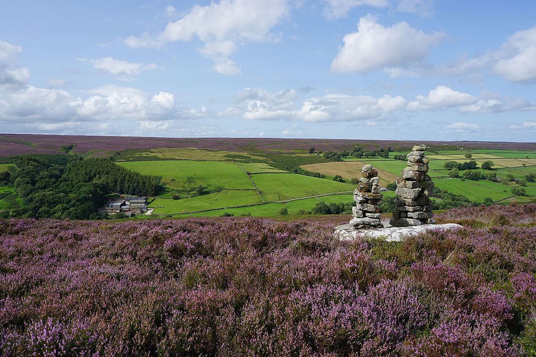
High House Farm and Colsterdale Moor to the north
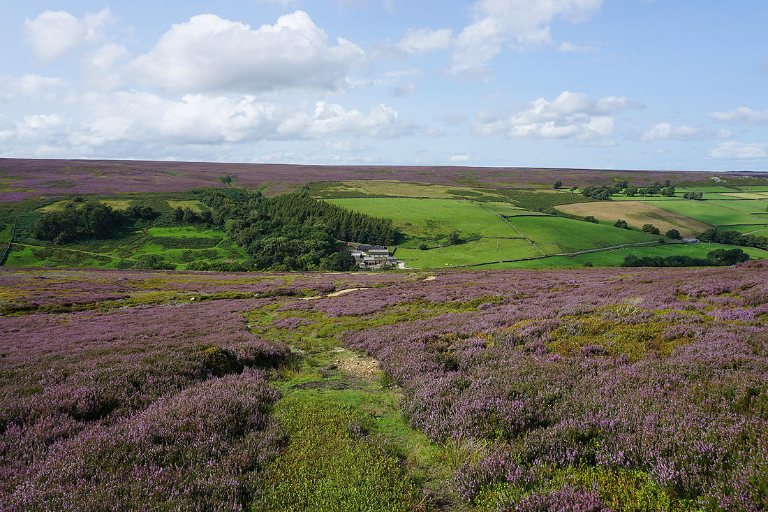
Leaving Gollinglith Ridge I head down to join the track of the Coal Road
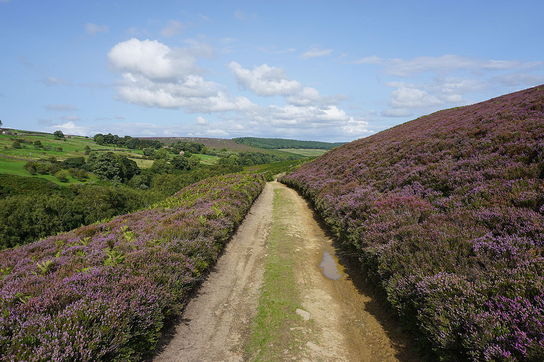
I follow the track of Coal Road east above the River Burn
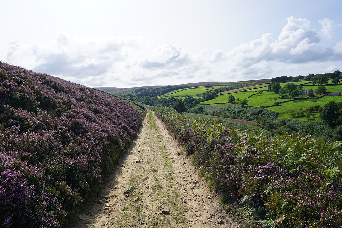
Looking back along the Coal Road and up onto Colsterdale Moor
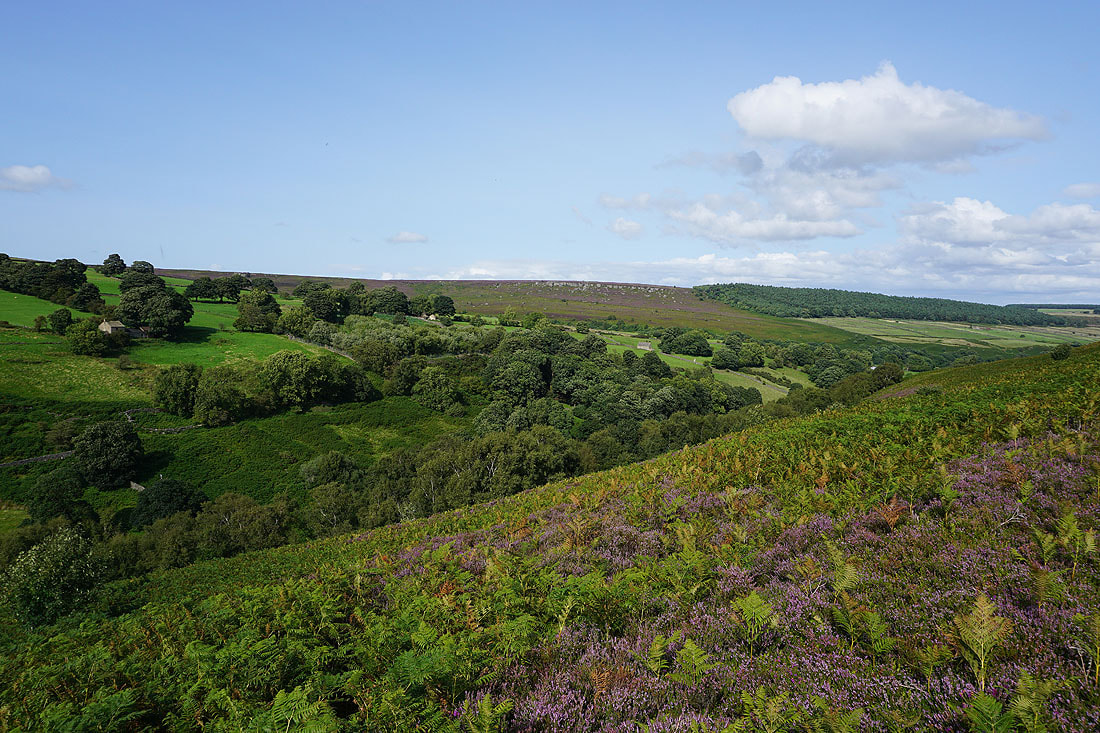
The scattered hamlet of Colsterdale on the side of Colsterdale Moor, along with Slipstone Crags on the skyline beyond
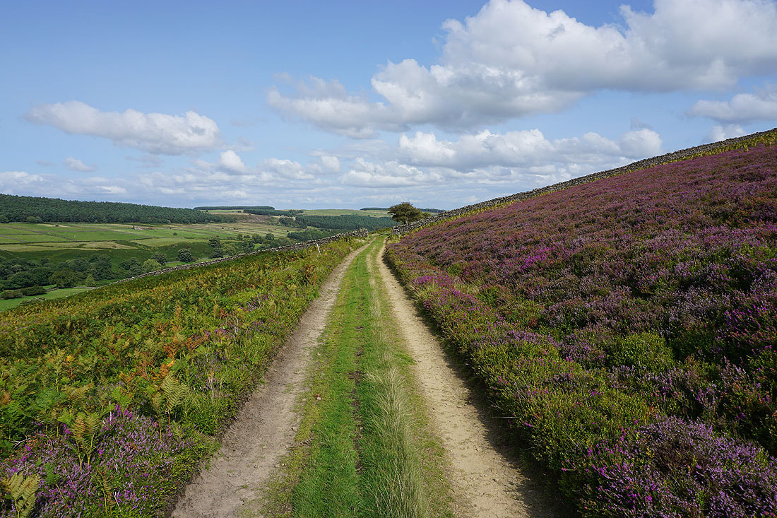
Walking east along the Coal Road to its end at Gollinglith Foot...
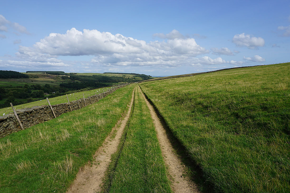
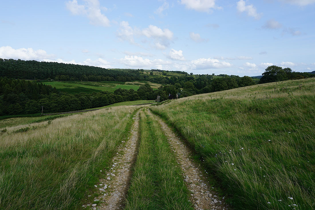
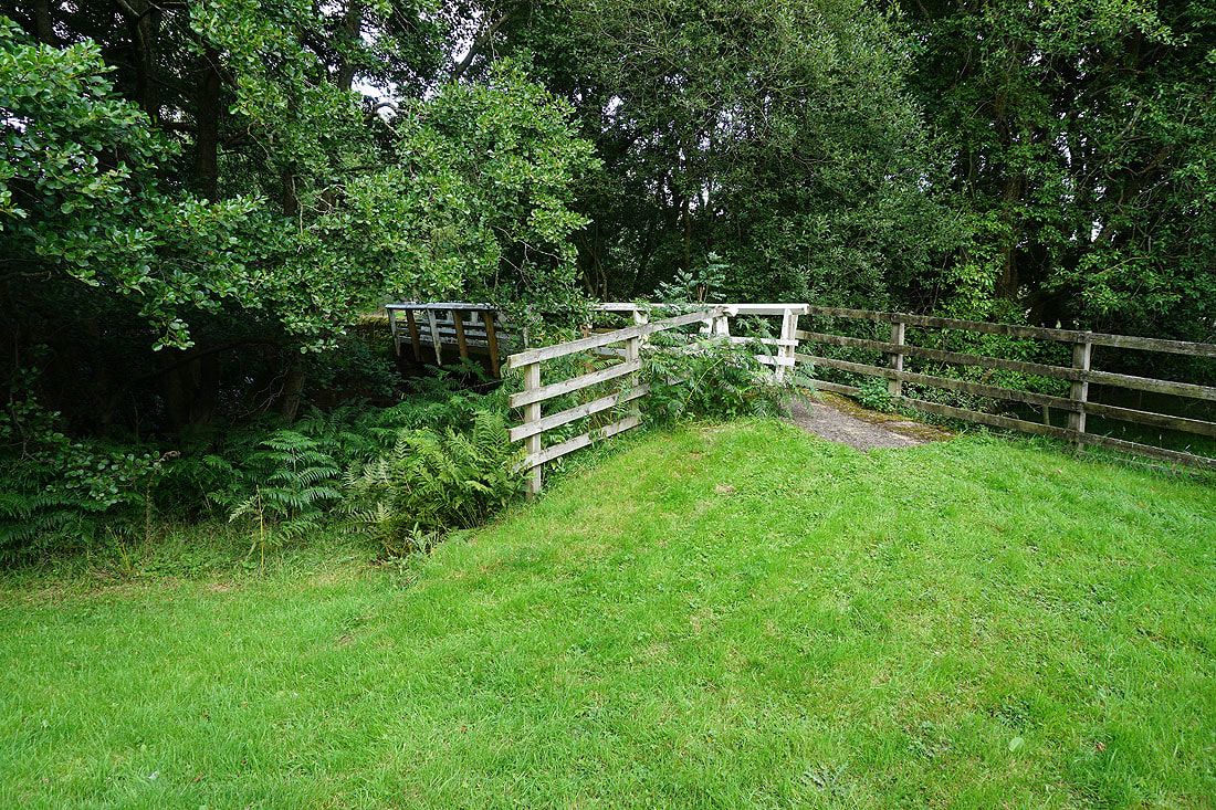
Across the footbridge over the River Burn and I'm back at Gollinglith Foot