20th February 2010 - Ingleborough
Walk Details
Distance walked: 10.8 miles
Total ascent: 2362 ft
OS map used: OL2 - Yorkshire Dales, Southern & Western areas
Time taken: 6 hrs
Route description: Clapham-Clapdale-Trow Gill-Little Ingleborough-Ingleborough-Simon Fell-Simon Fell Breast-Long Scar-Long Lane-Clapham
An ascent of Ingleborough from Clapham via Clapdale, Trow Gill and Little Ingleborough. After visiting Ingleborough I visited the summit of Simon Fell before returning to Clapham via Simon Fell Breast, Long Scar and Long Lane.
Route map
© Crown copyright. All rights reserved. License number PU 100034184.
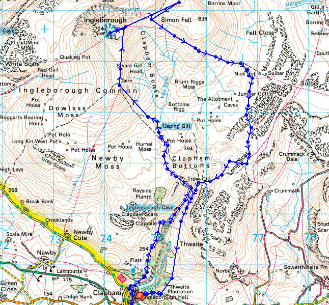
Walking up the lane out of Clapham, looking across to Thwaite Scars
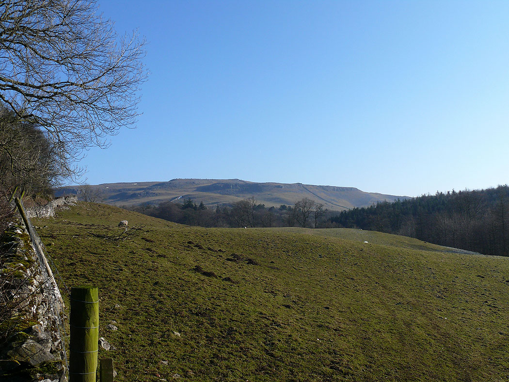
Looking back down the lane out of Clapham
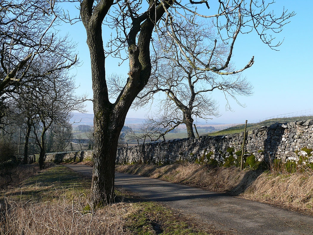
Higher up the valley of Clapham Beck
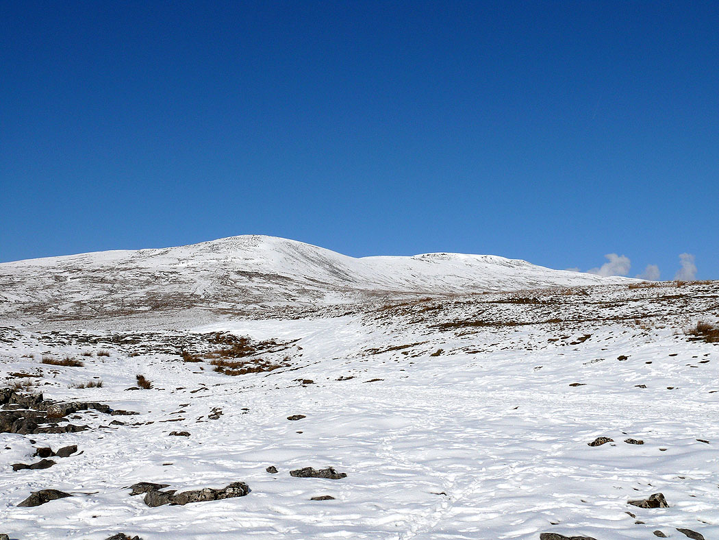
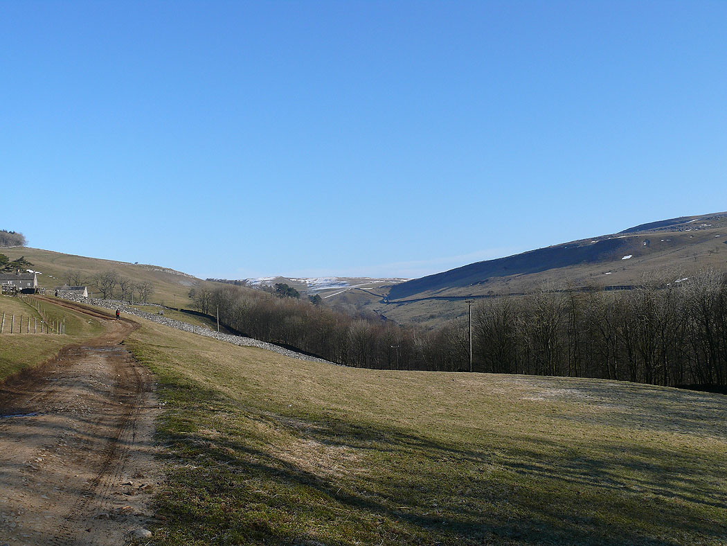
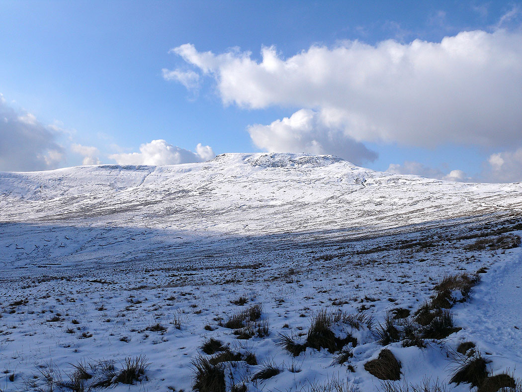
Up onto the fell now. Little Ingleborough and Ingleborough ahead.
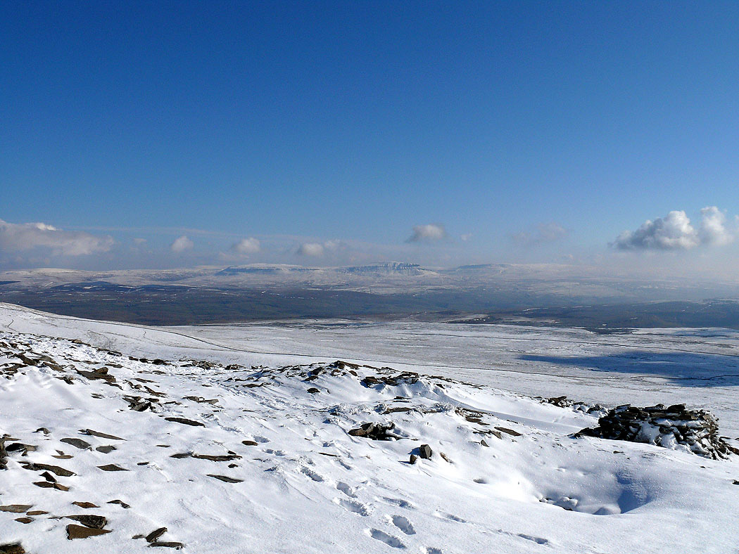
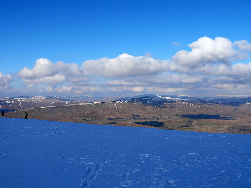
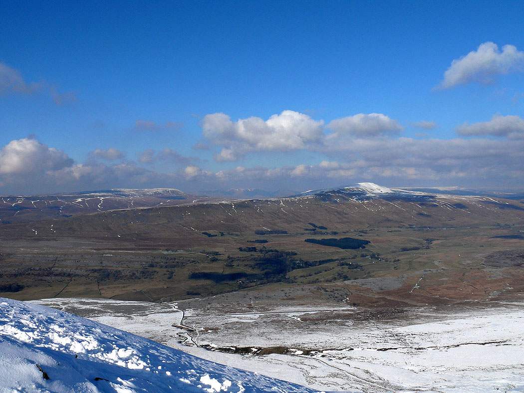
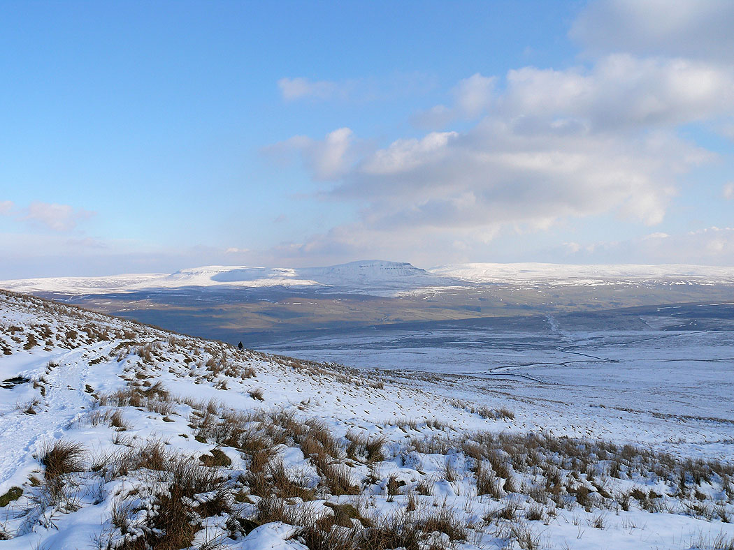
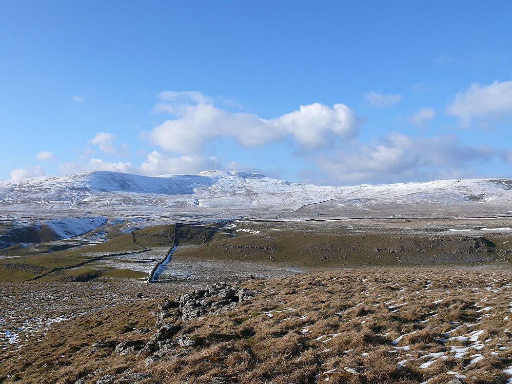
On Little Ingleborough looking to Penyghent
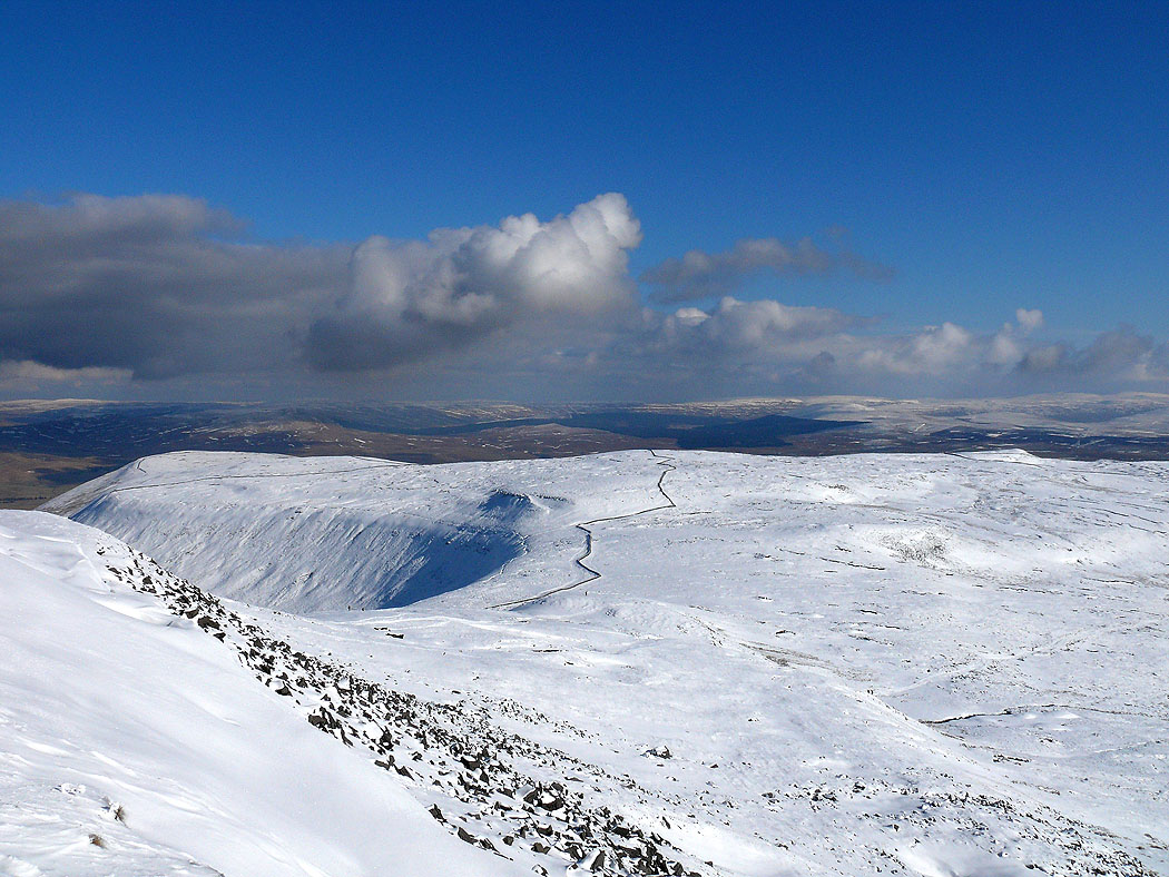
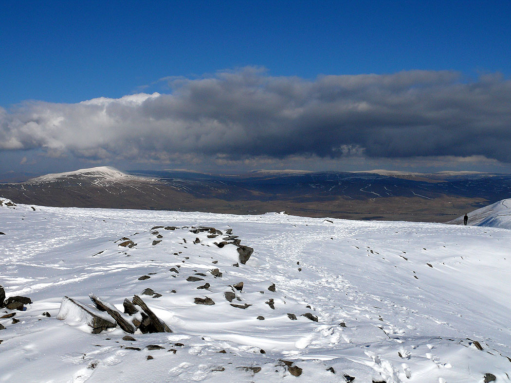
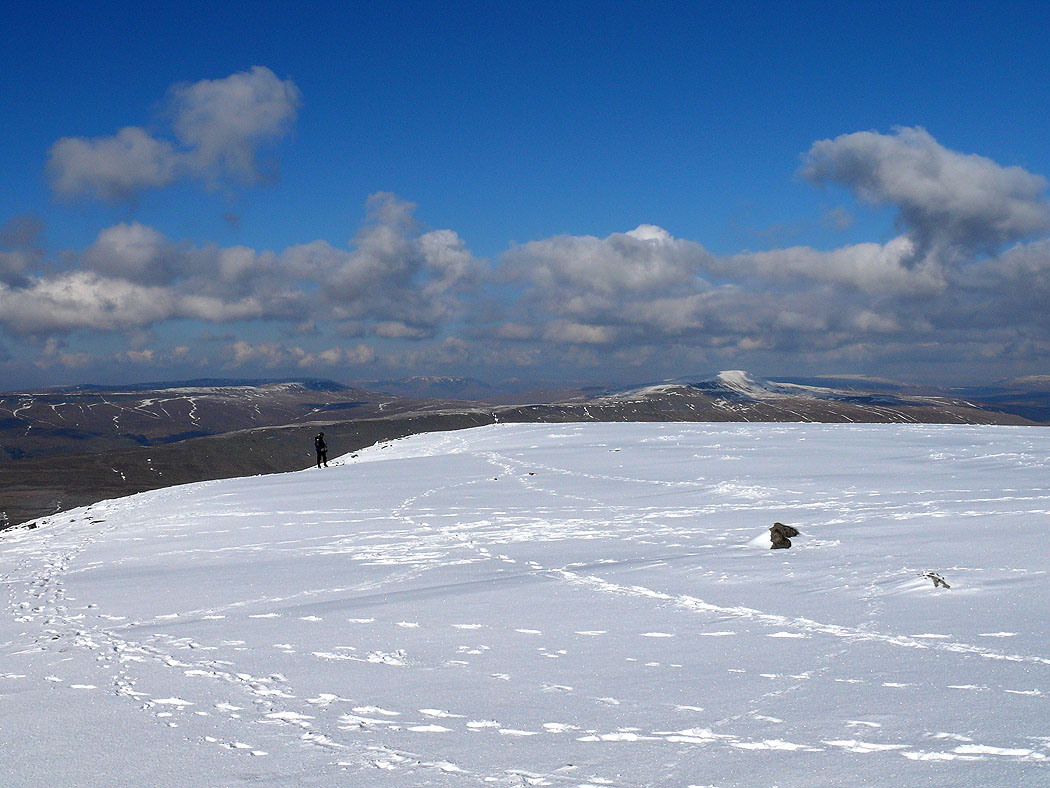
On Ingleborough looking across Simon Fell
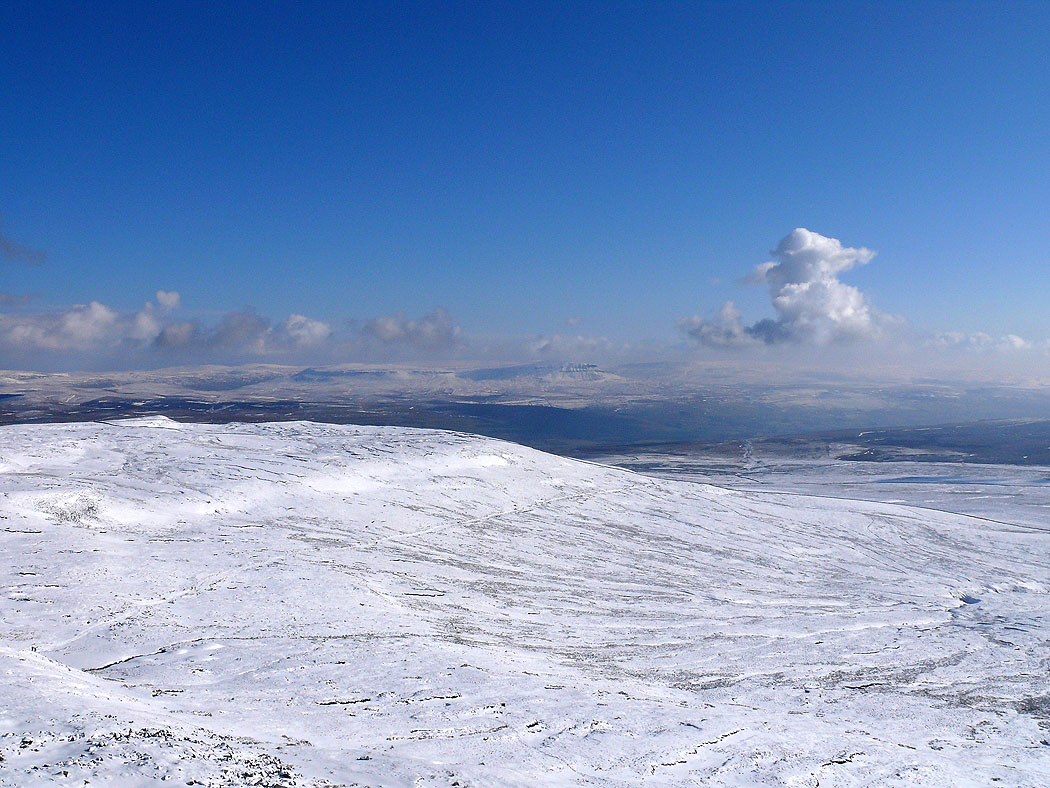
Looking across Simon Fell to Penyghent
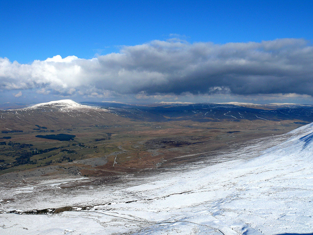
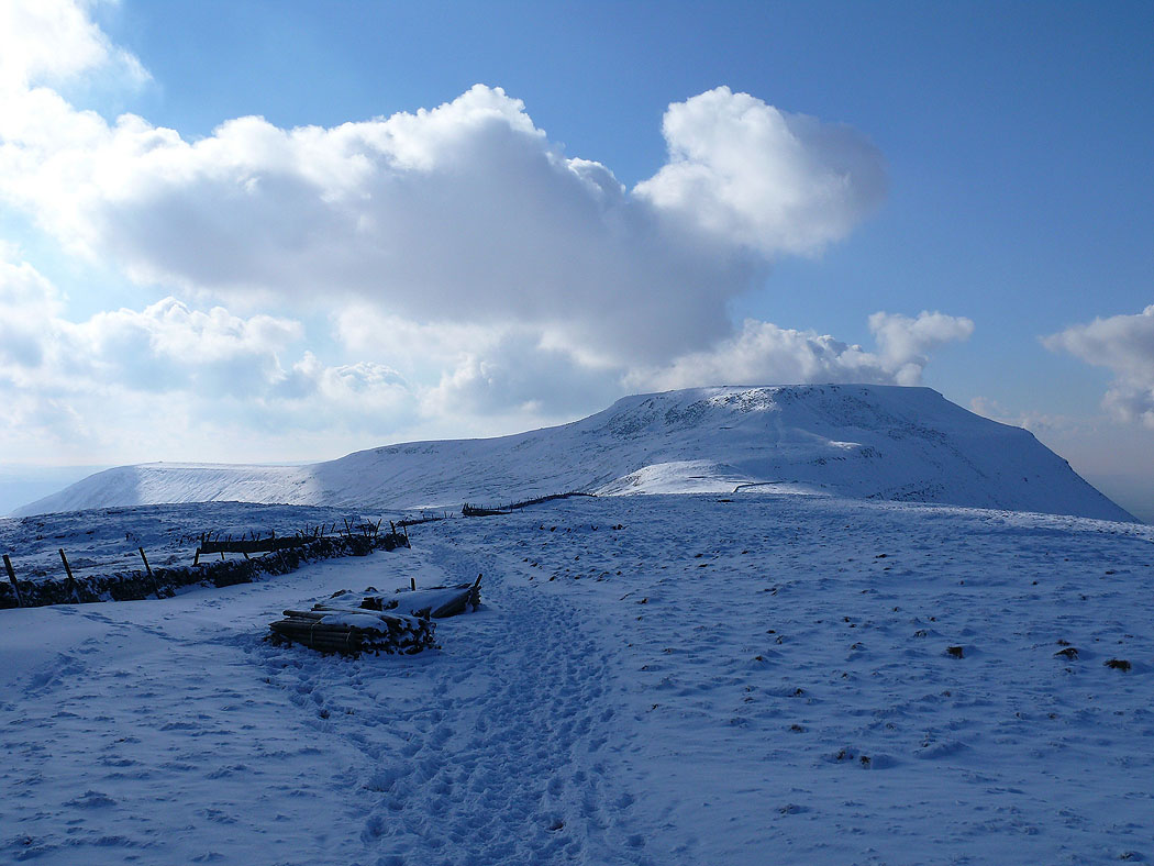
Summit of Ingleborough. Snow capped Whernside on the left.
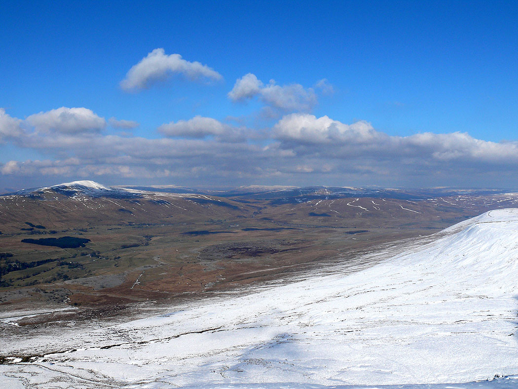
Across Chapel-le-Dale to Whernside. Much less snow looking north.
Across Chapel-le-Dale to Great Coum and Whernside with the Howgills in the gap between them
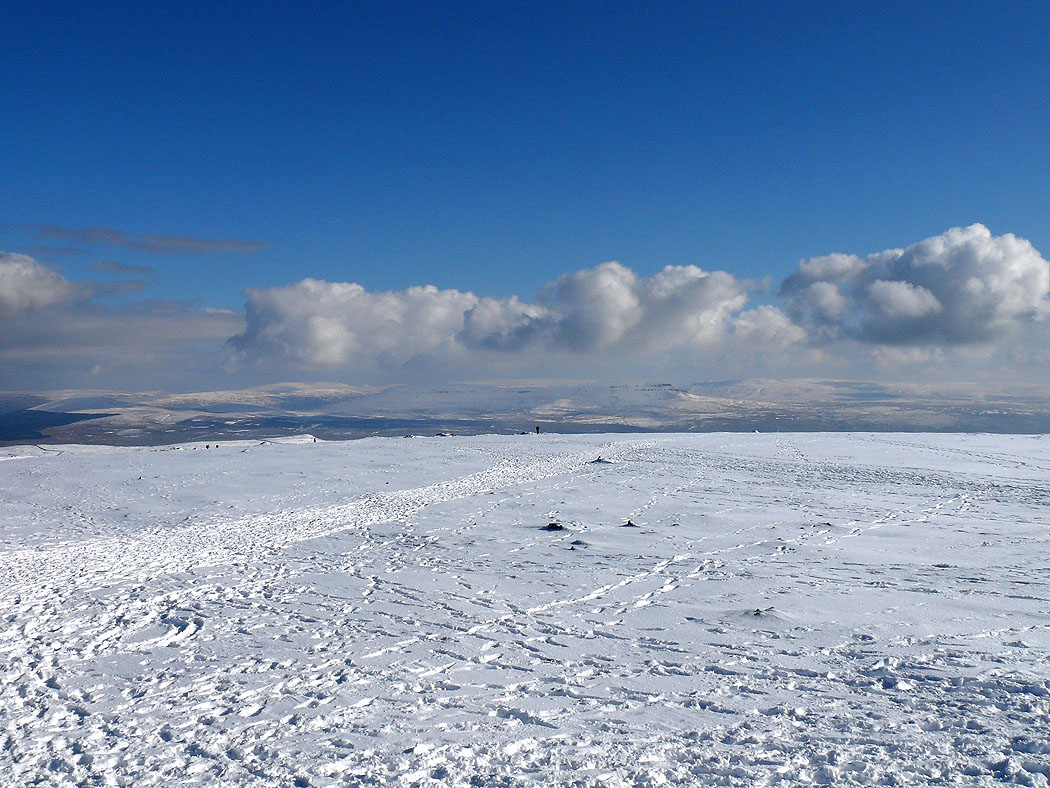
Ingleborough summit
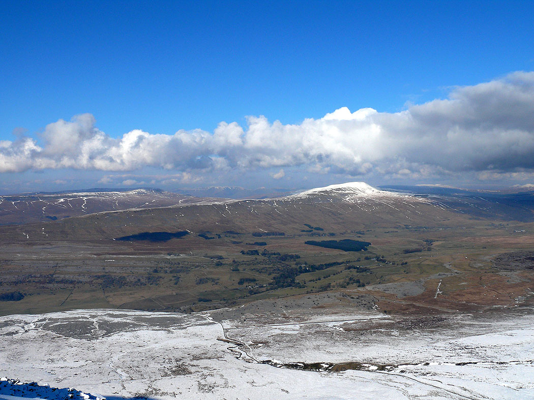
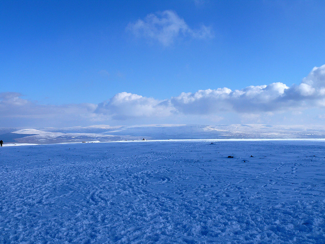
On Ingleborough summit looking to Whernside
and to Penyghent..
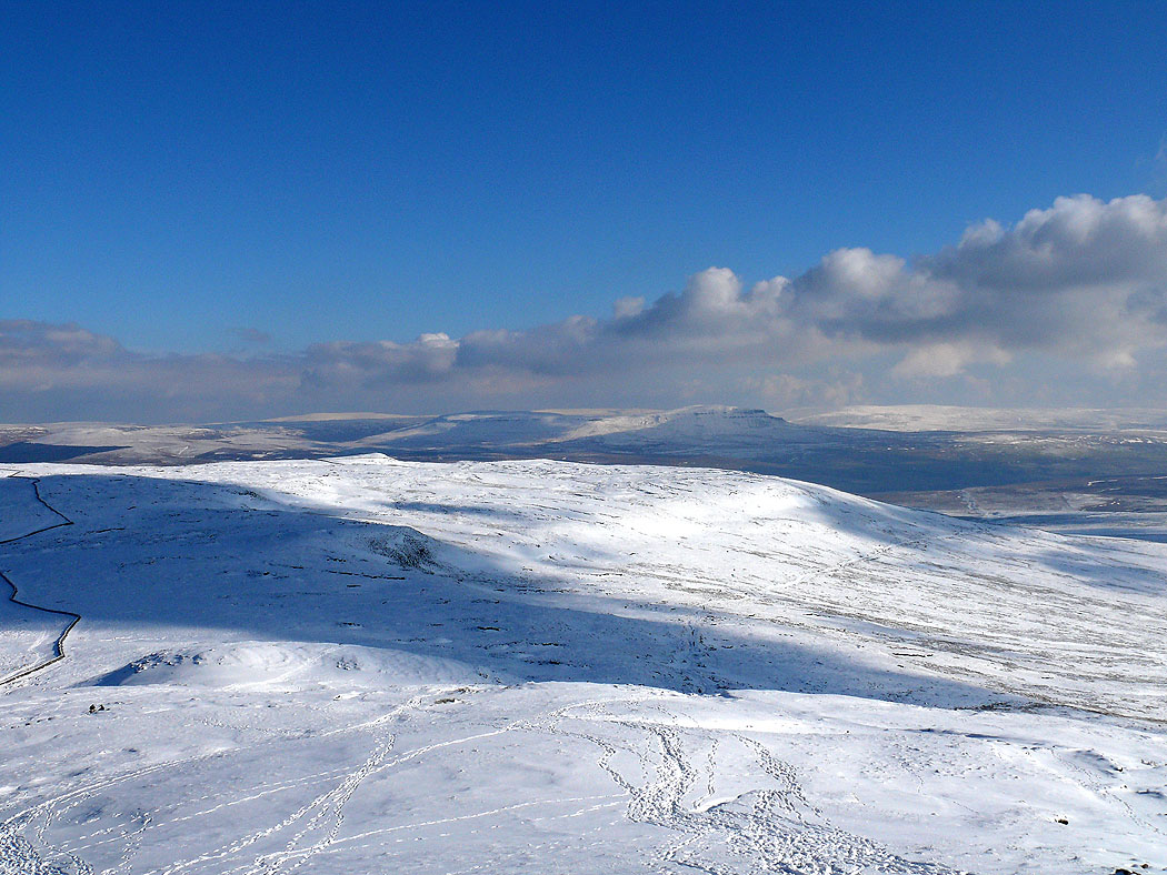
Looking towards Ribblehead and Blea Moor
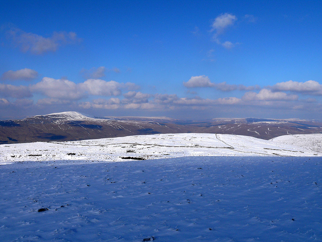
Whernside
Whernside and Ribblehead across Humphrey Bottom
Simon Fell with Penyghent behind
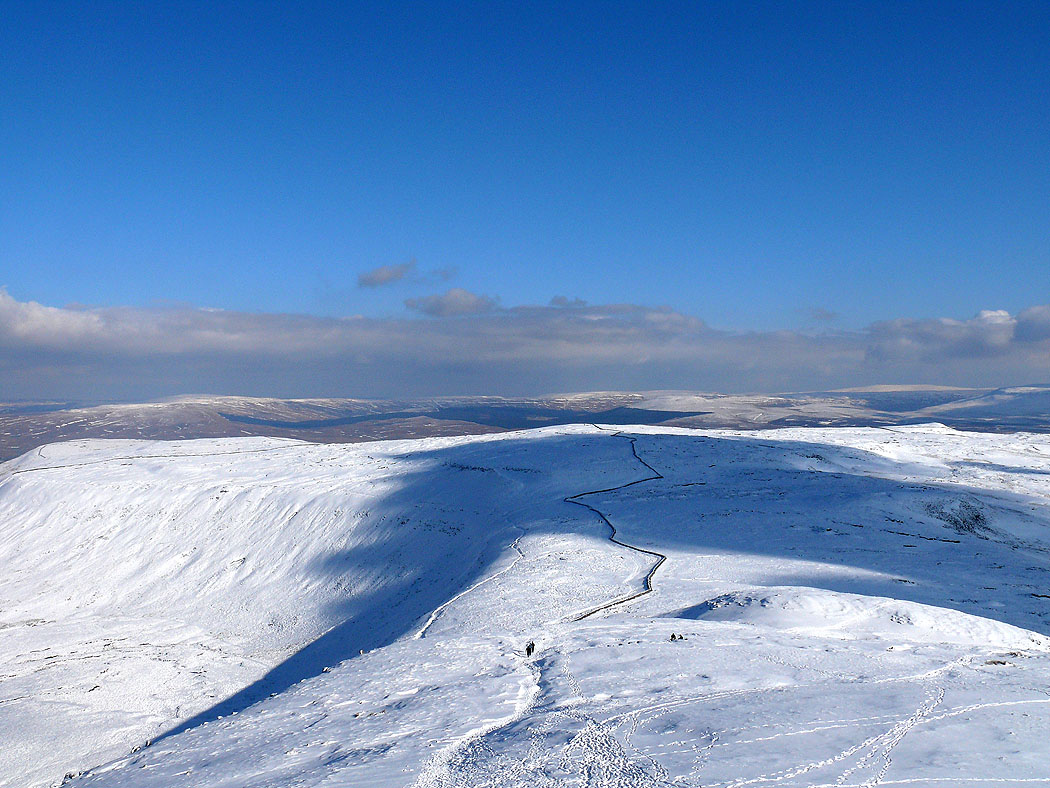
Simon Fell
Great Coum and Whernside from the descent of Ingleborough
Ingleborough from Simon Fell
Whernside from Simon Fell
and Penyghent
Ingleborough from the descent across Simon Fell Breast
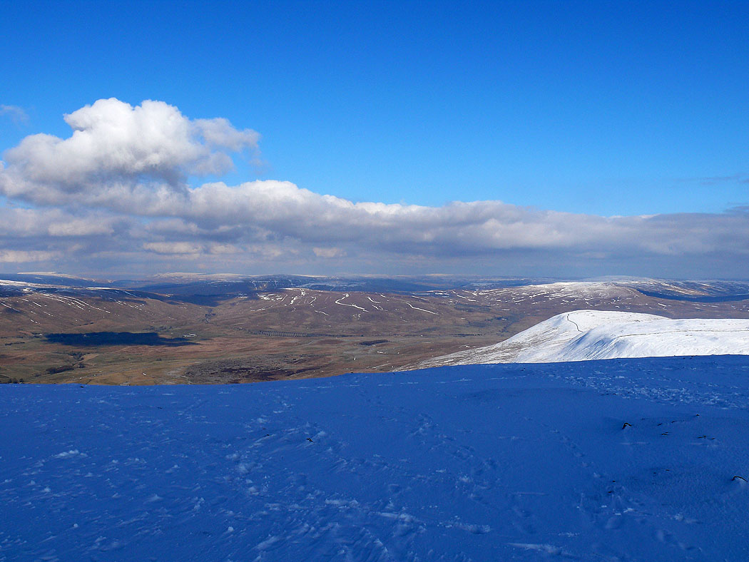
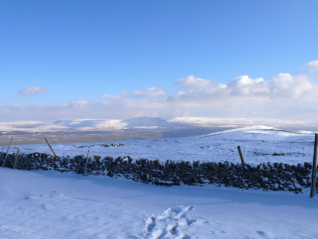
Penyghent on the way down
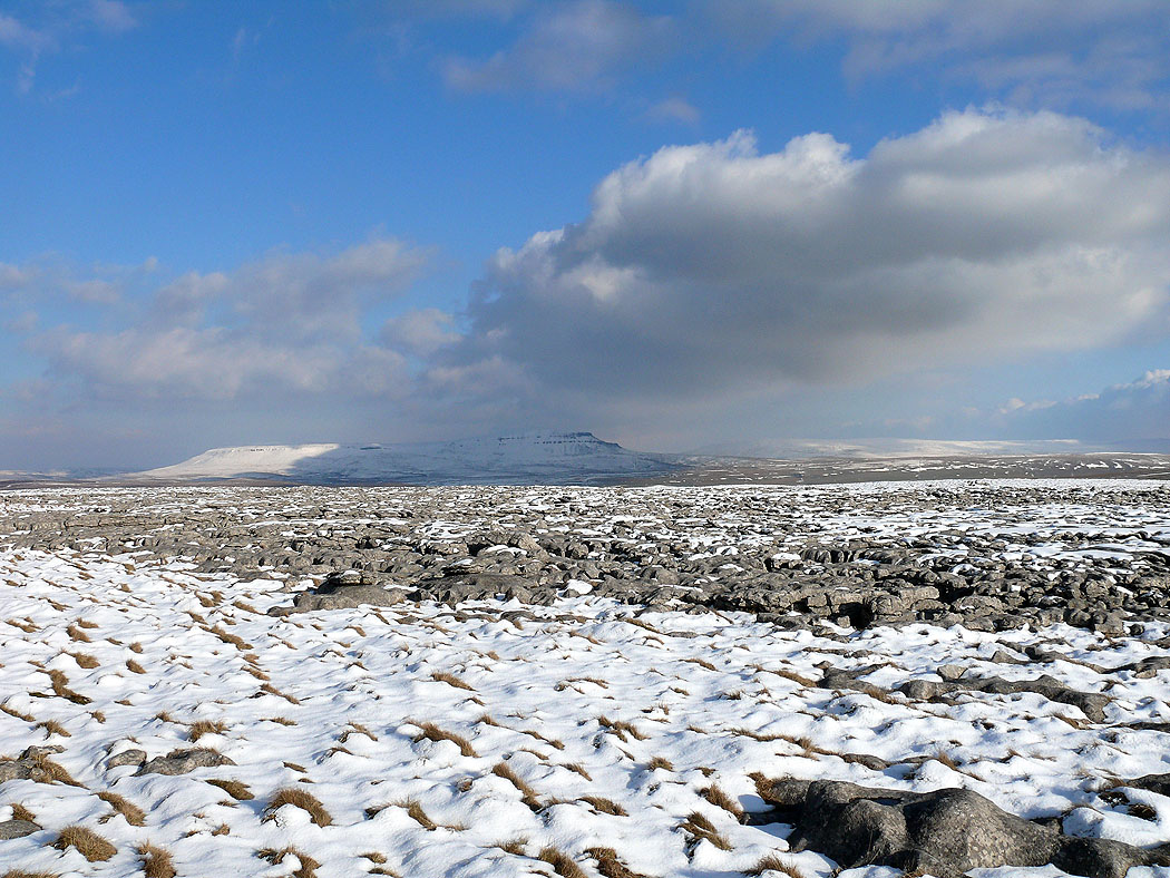
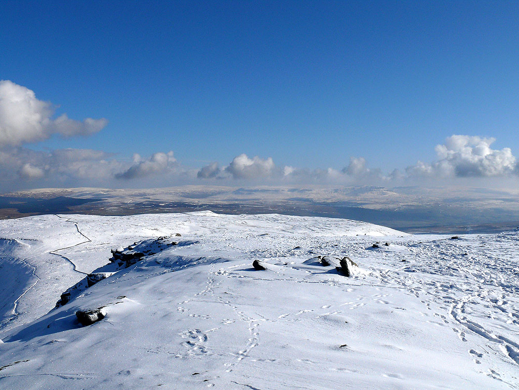
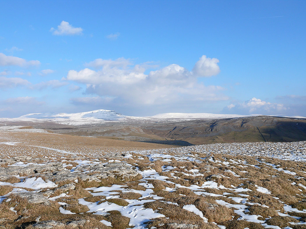
Penyghent across the limestone pavement of Sulber
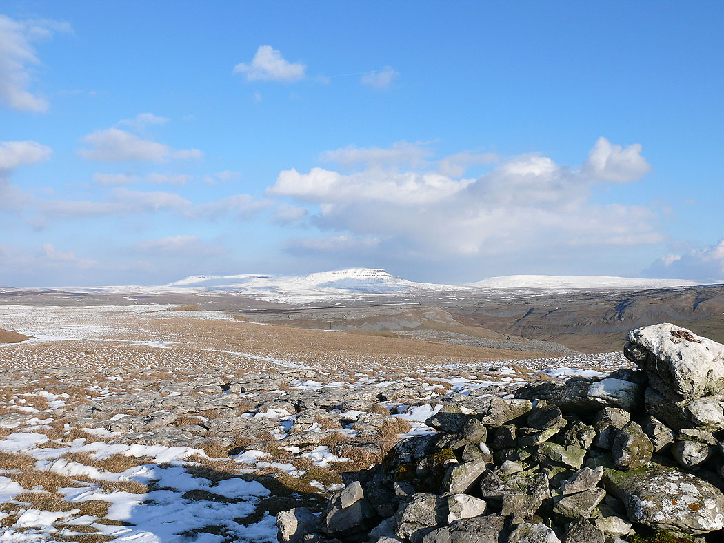
Penyghent and Fountains Fell
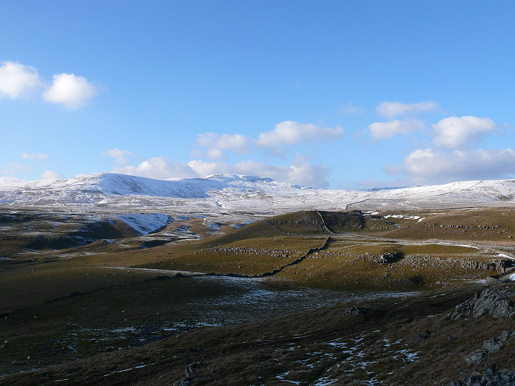
Ingleborough on the way back to Clapham
and Penyghent and Fountains Fell
Ingleborough from Long Scar