20th January 2019 - Conistone to Weets Top and back
Walk Details
Distance walked: 12.0 miles
Total ascent: 1854 ft
OS map used: OL2 - Yorkshire Dales, Southern & Western areas
Time taken: 6 hrs
Route description: Conistone-Mastiles Lane-Smearbottoms Lane-Hawthorns Lane-Weets Top-Hawthorns Lane-Smearbottoms Lane-Middle Laithe-Lee Gate-Bordley-Malham Moor-Malham Moor Lane-Green Haw Hill-Mastiles Lane-Kilnsey-Conistone
At last a proper winter walk with snow on the ground, although I had no idea that it would turn out that way when I set off from home this morning. Snow has been in short supply so far this winter after a very mild December, and up until now there hasn't been any proper cold weather in January either. With no snow at home and pretty grey skies I wasn't expecting too much from this walk that took me from Conistone in Wharfedale to Weets Top above Malham and back. It was only when driving the final few miles up Wharfedale that blue skies started to appear and then I spotted the snow higher up on the moors. The day turned out better than I could have hoped for, with plenty of sunshine while I walking along Mastiles Lane in the snow during the morning. Valley fog then occasionally made it up onto the moors during the afternoon but this only made for more atmospheric views.
From Conistone I crossed Conistone Bridge and walked to the B6160, where I turned left and took the footpath a short distance away on the opposite side of the road. I then followed this path uphill to join the track of Mastiles Lane which took me west up and over Holgates Kilnsey Moor, through Mastiles Gate and until I reached the bridleway to Lee Gate and Smearbottoms Lane. I then followed this bridleway south to Middle Laithe and onto Smearbottoms Lane and then Hawthorns Lane. At the top of Hawthorns Lane I turned left and took the bridleway up to Weets Gate to reach Weets Top. Lunch had here in the shelter of the wall I retraced my steps back to the end of Smearbottoms Lane at Middle Laithe, where I took the bridleway from Lee Gate to Bordley. After walking through Bordley I was briefly on the bridleway to Mastiles Lane before leaving it for a footpath east across Malham Moor towards Height Laithe. Just before reaching Height Laithe I crossed a bridleway which I turned left onto and followed north across Malham Moor Lane and Malham Moor (detour to top of Green Haw Hill) and then down to Mastiles Lane. I then walked east down Mastiles Lane to Kilnsey where I had a brief walk south along the road to reach the lane back to Conistone.
Route map
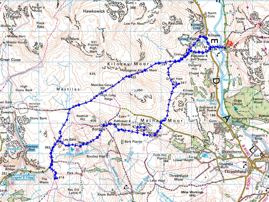
© Crown copyright. All rights reserved. License number PU 100034184.
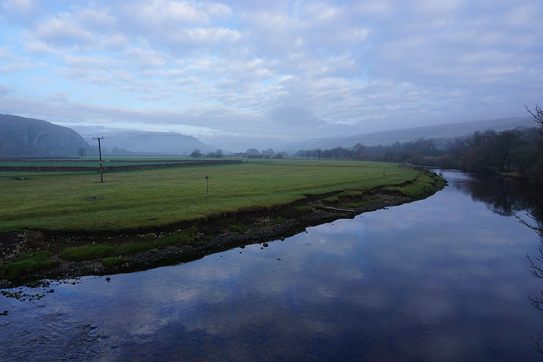
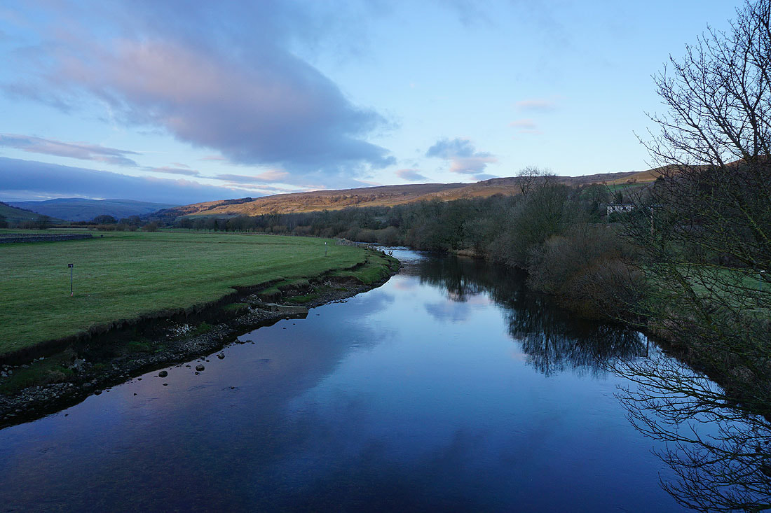
Kilnsey Crag on the left and the River Wharfe from Conistone Bridge as I set off
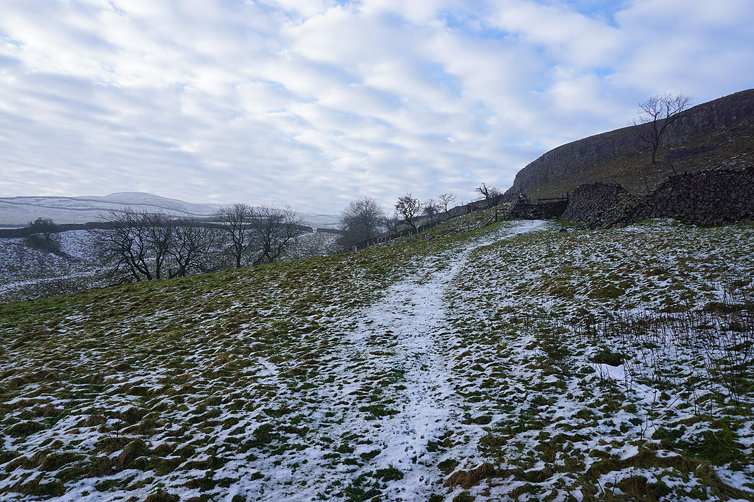
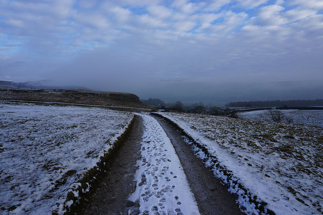
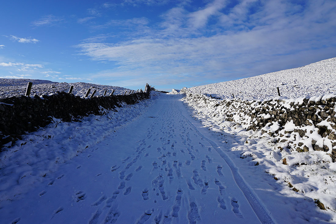
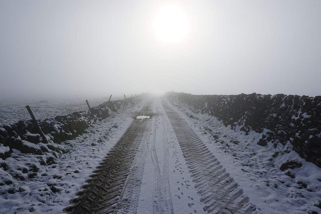
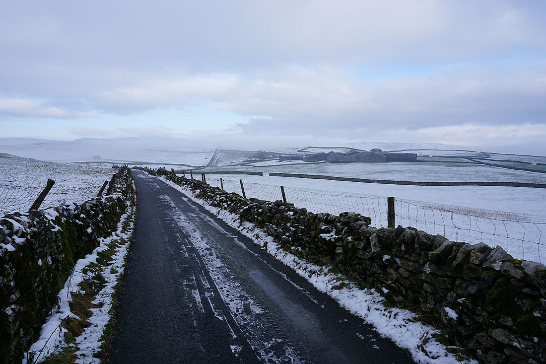
On the footpath to Mastiles Lane with increasing amounts of snow as I gain height..
Looking back to Kilnsey Crag as I join Mastiles Lane. The fog in the valley seems to spreading and getting thicker.
Ahead of me, blue skies are on the way
Spectacular views as I look back while heading up Mastiles Lane into the snow and sunshine..
Nearing the top and I'll soon lose the view of Wharfedale that I have behind me
So, a final look back with the hill of Great Whernside in the distance on the left
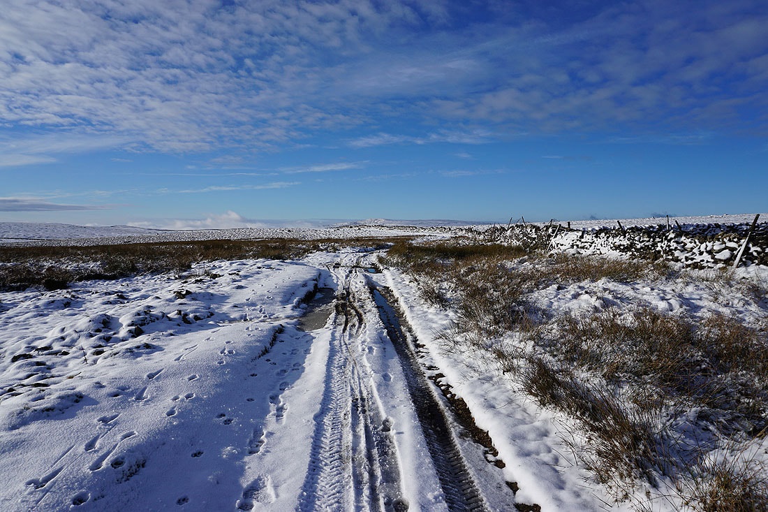
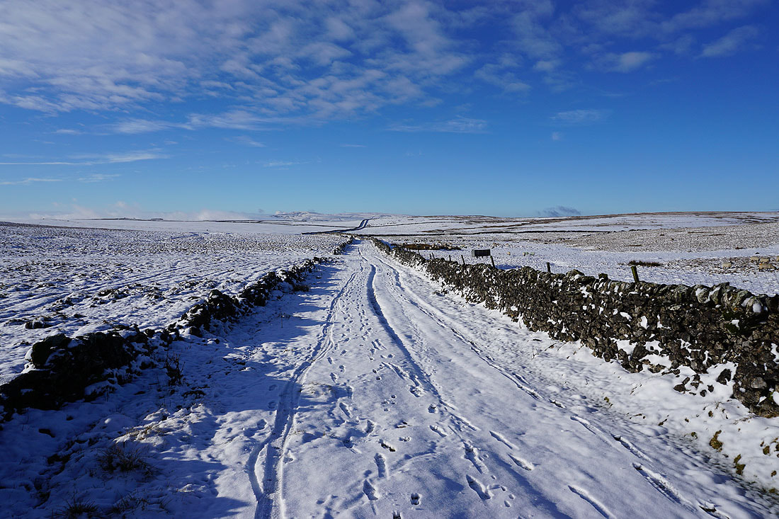
Following Mastiles Lane to the west
Looking back to Holgates Kilnsey Moor
Great looking skies over the moors to the north
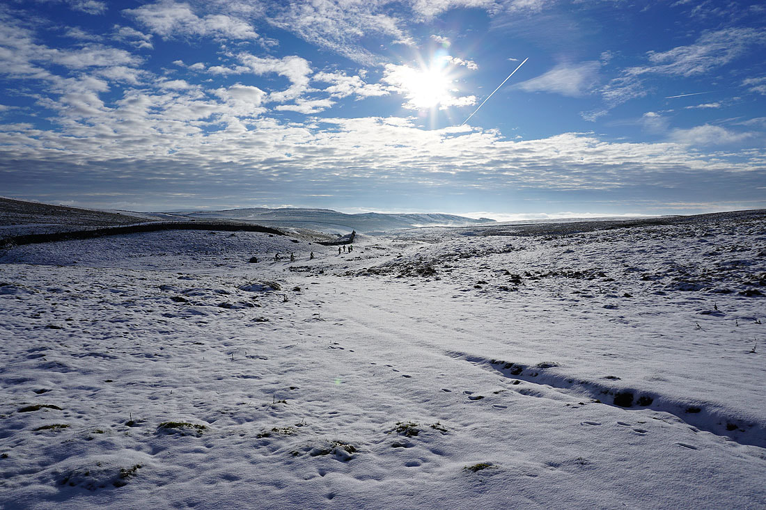
A group of mountain bikers had been following me up Mastiles Lane. At Mastiles Gate they took the bridleway to Malham Moor Lane.
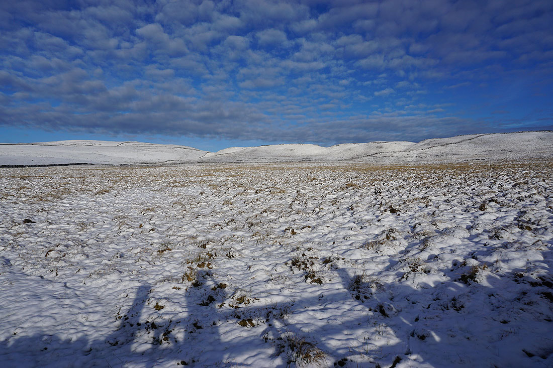
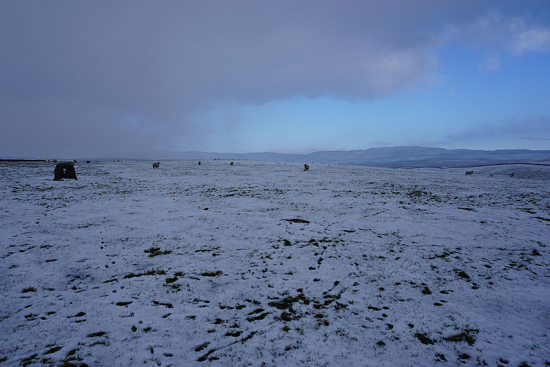
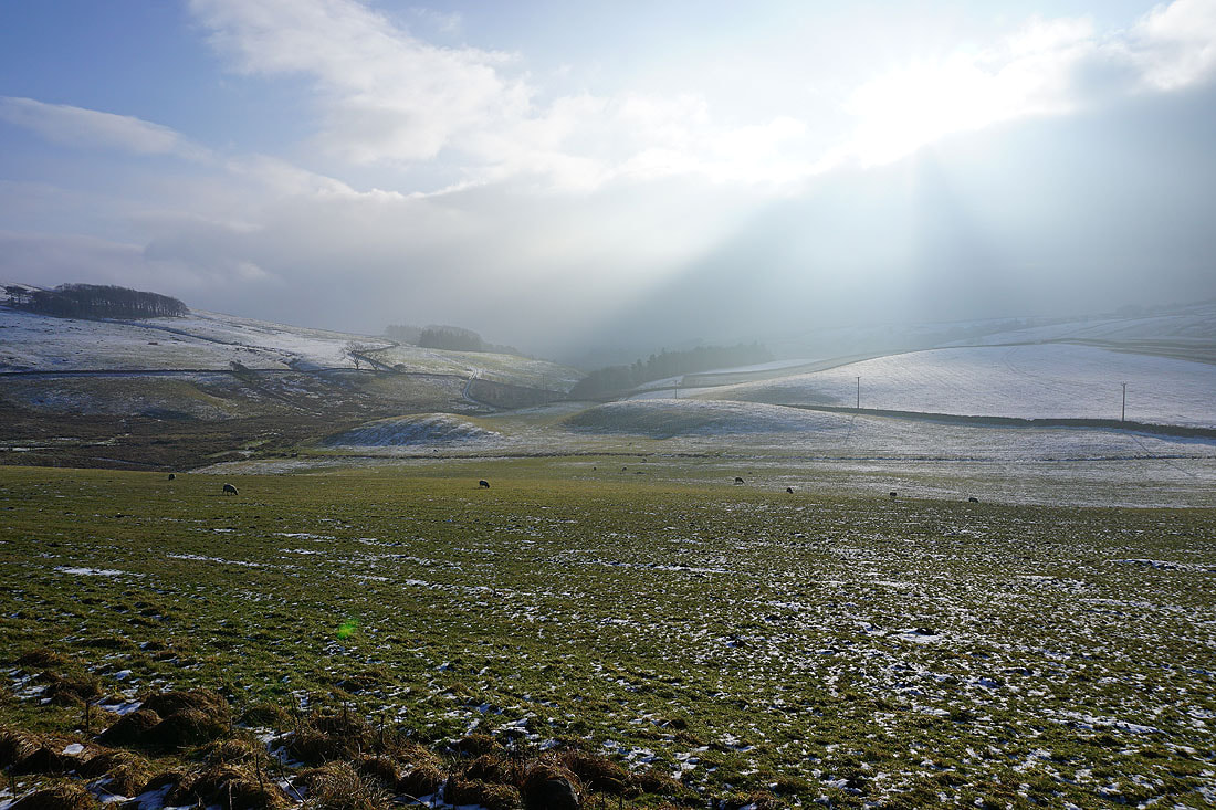
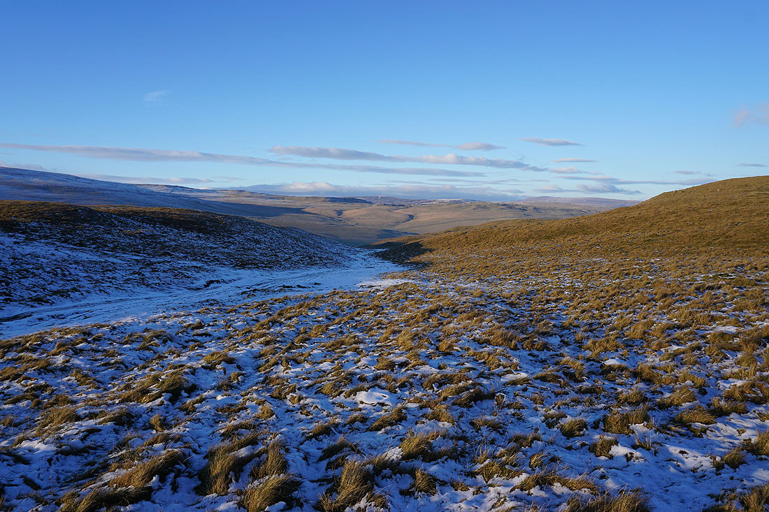
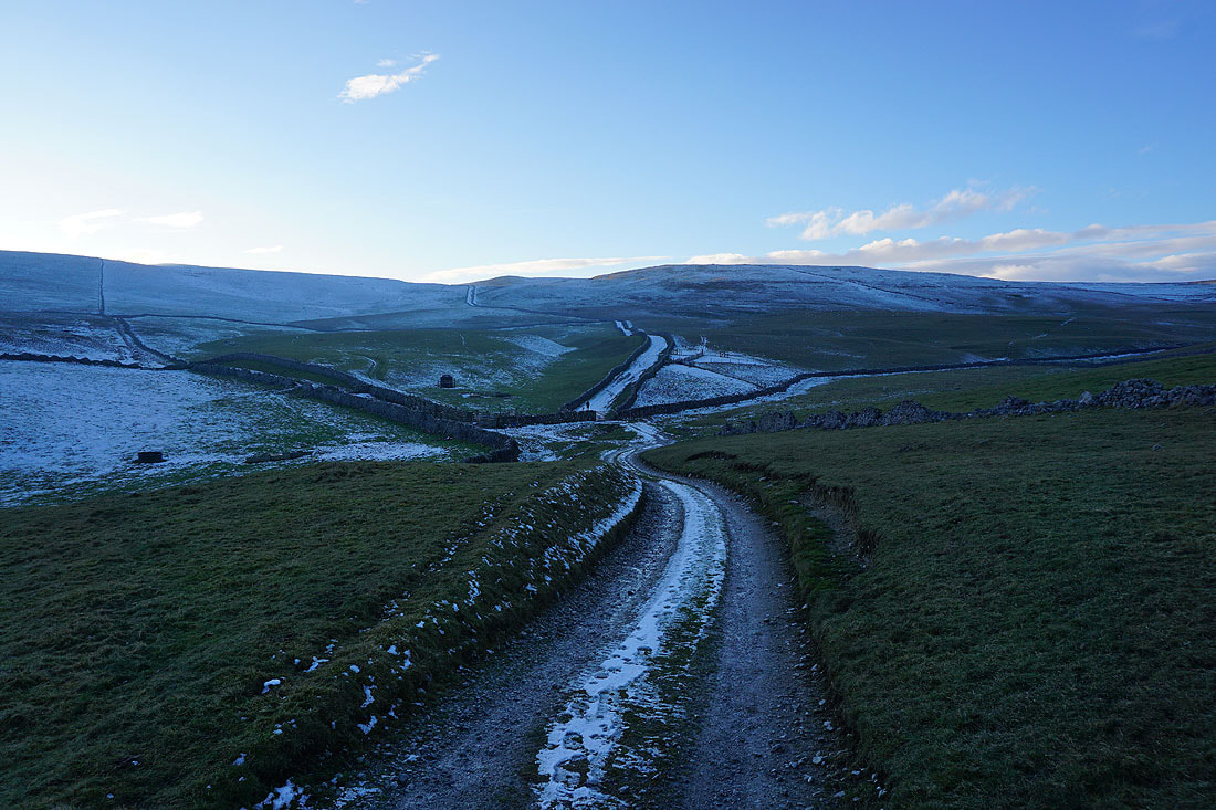
It's a glorious morning to be up here, surrounded by snow covered moors and above the valley fog.....
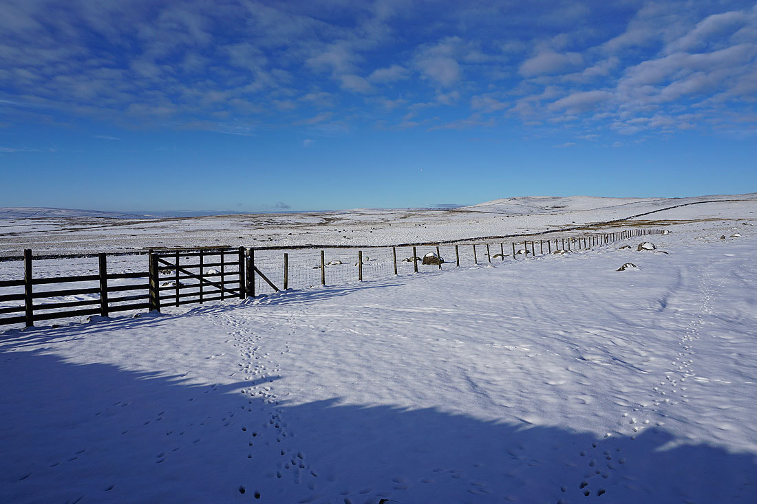
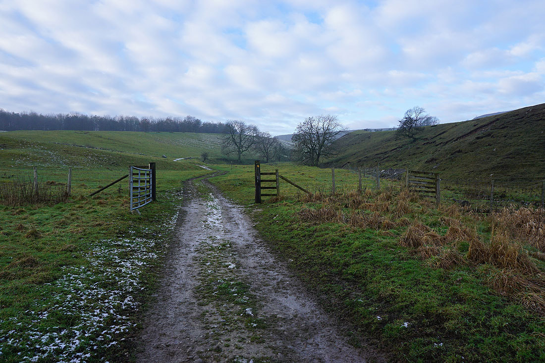
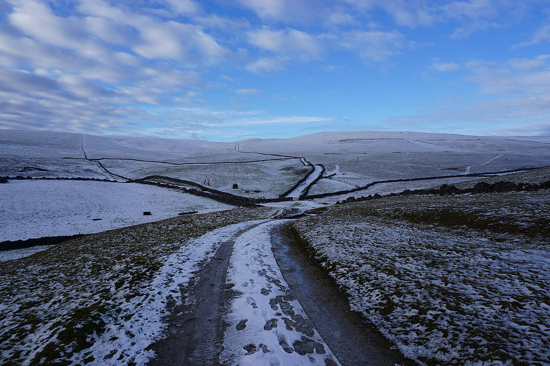
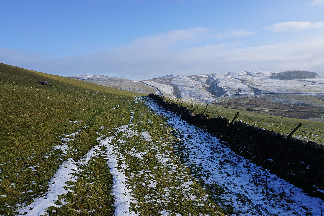
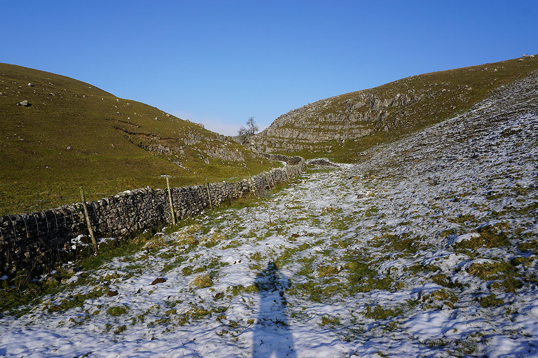
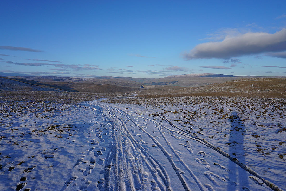
I've left Mastiles Lane for the bridleway to Lee Gate and Smearbottoms Lane
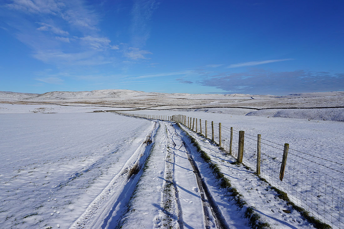
Looking back to the moorland of Proctor High Mark to the north of Mastiles Lane
Fog fills the valley of Bordley Beck to the east
It looks like fog is on its way
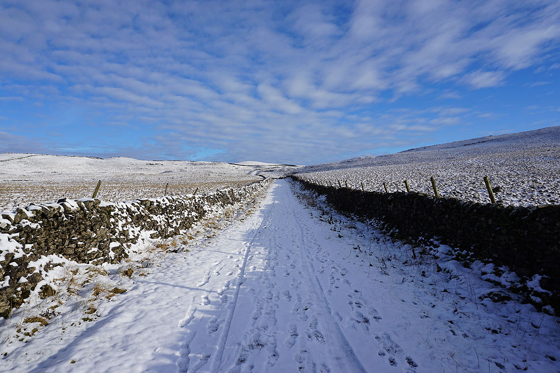
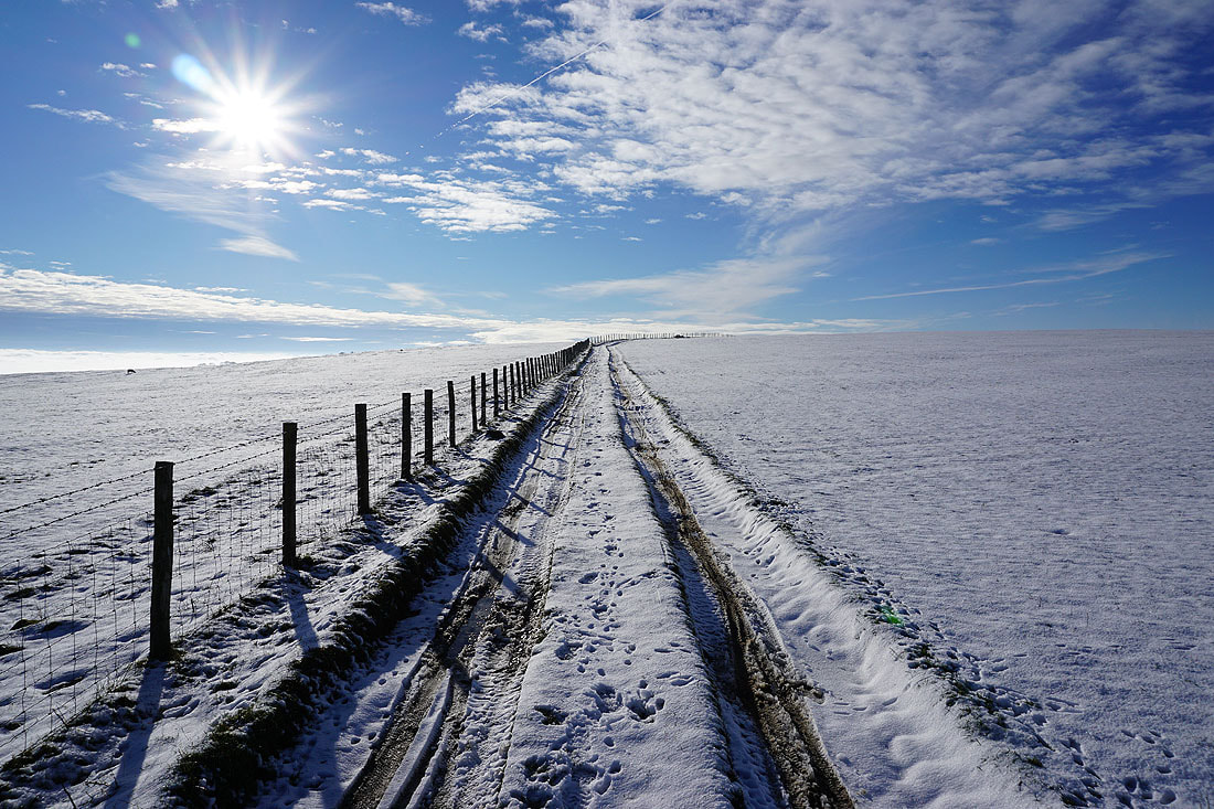
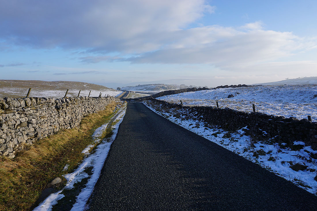
Glorious snow covered fields to the west around Street Gate
Enveloped by fog as I reach Smearbottoms Lane
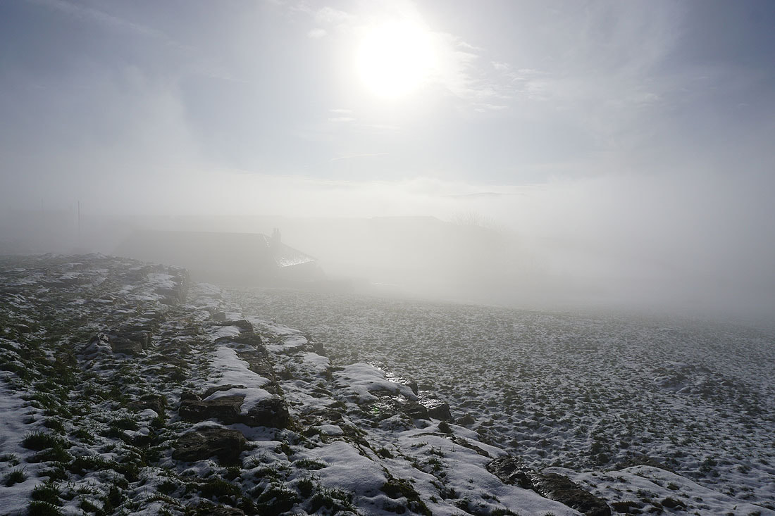
Sunshine through the fog at Middle Laithe
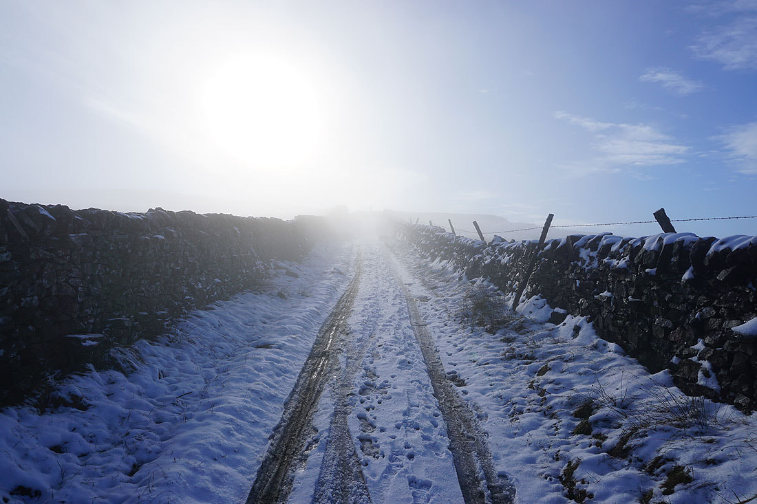
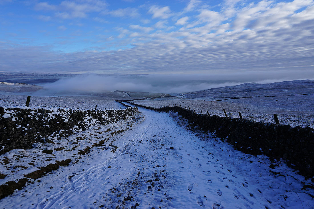
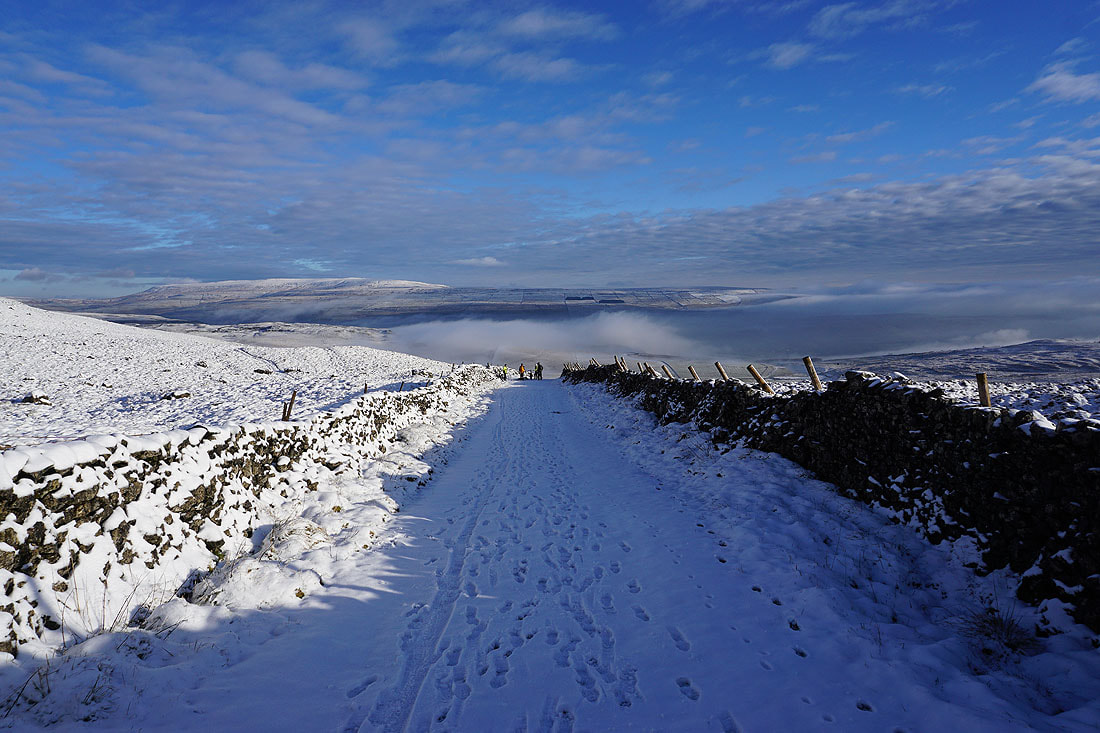
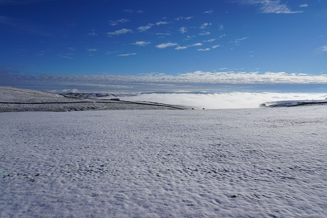
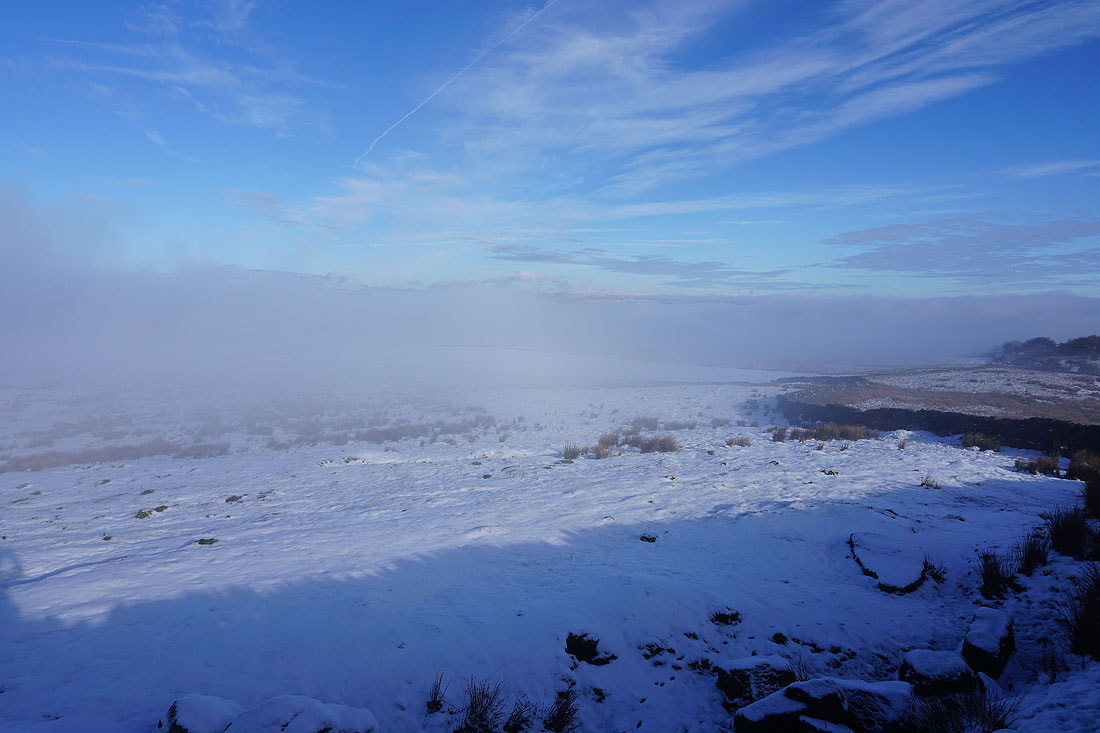
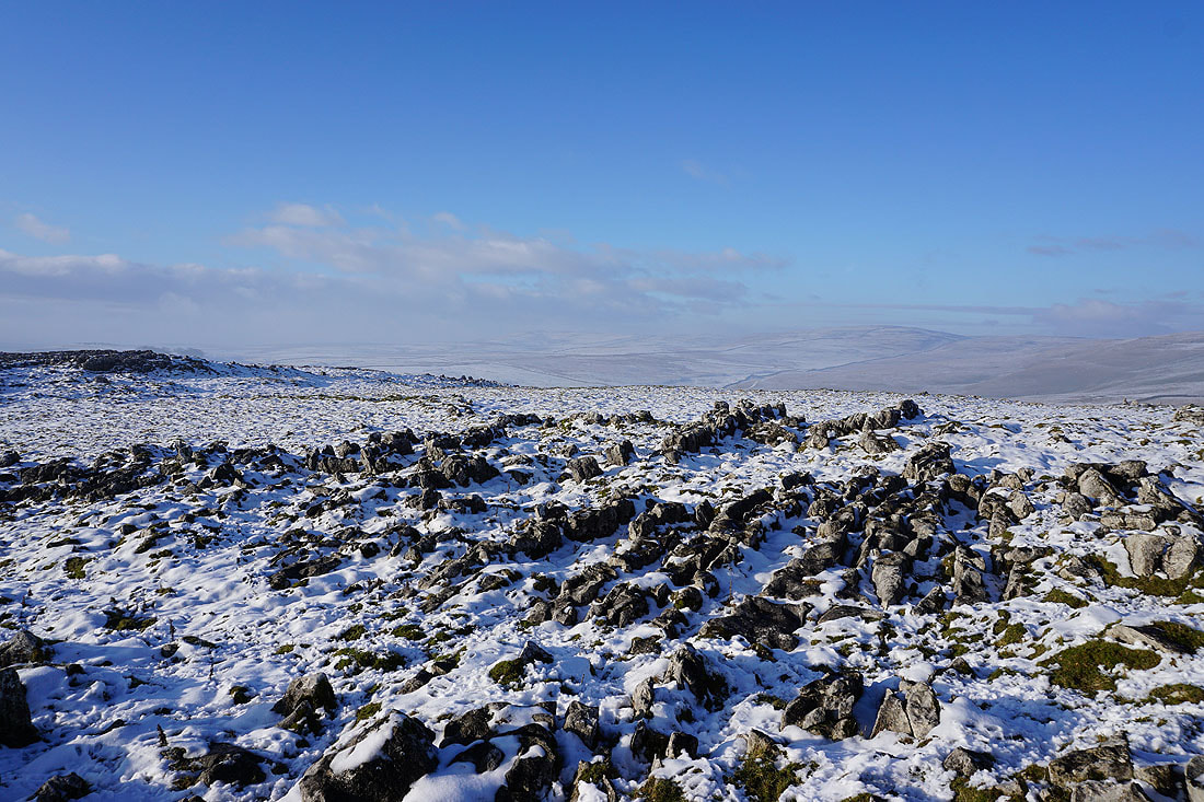
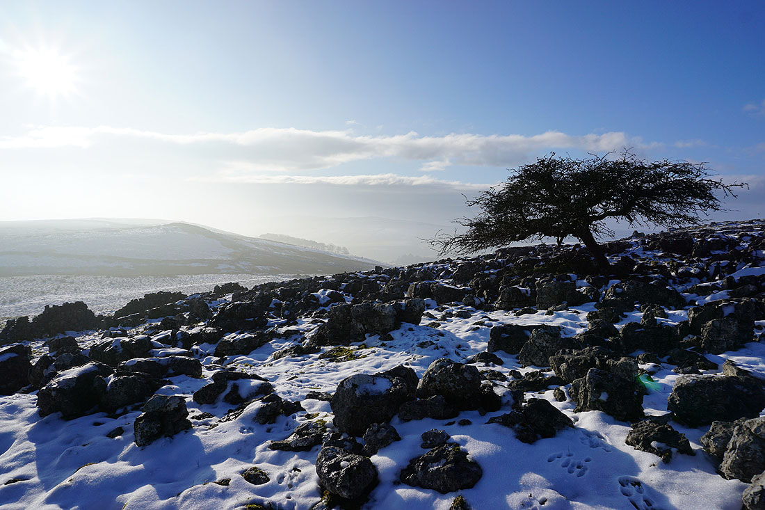
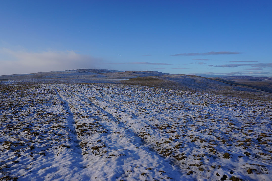
I seem to be at the top of the fog as I walk up the bridleway to Weets Top
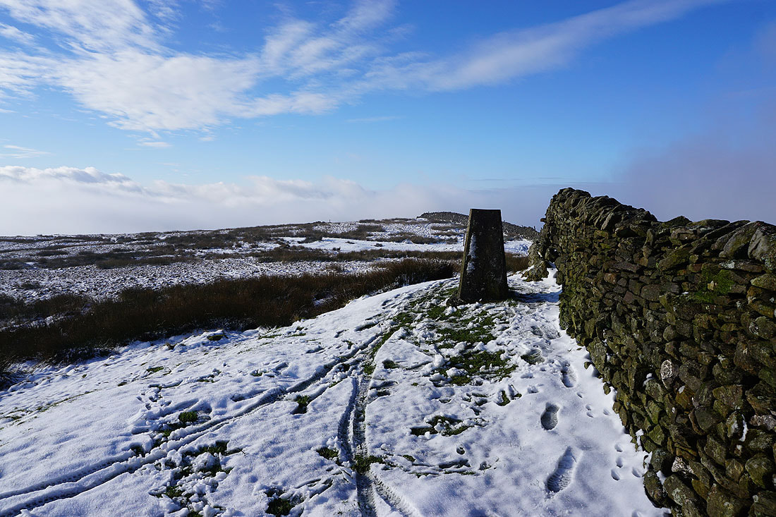
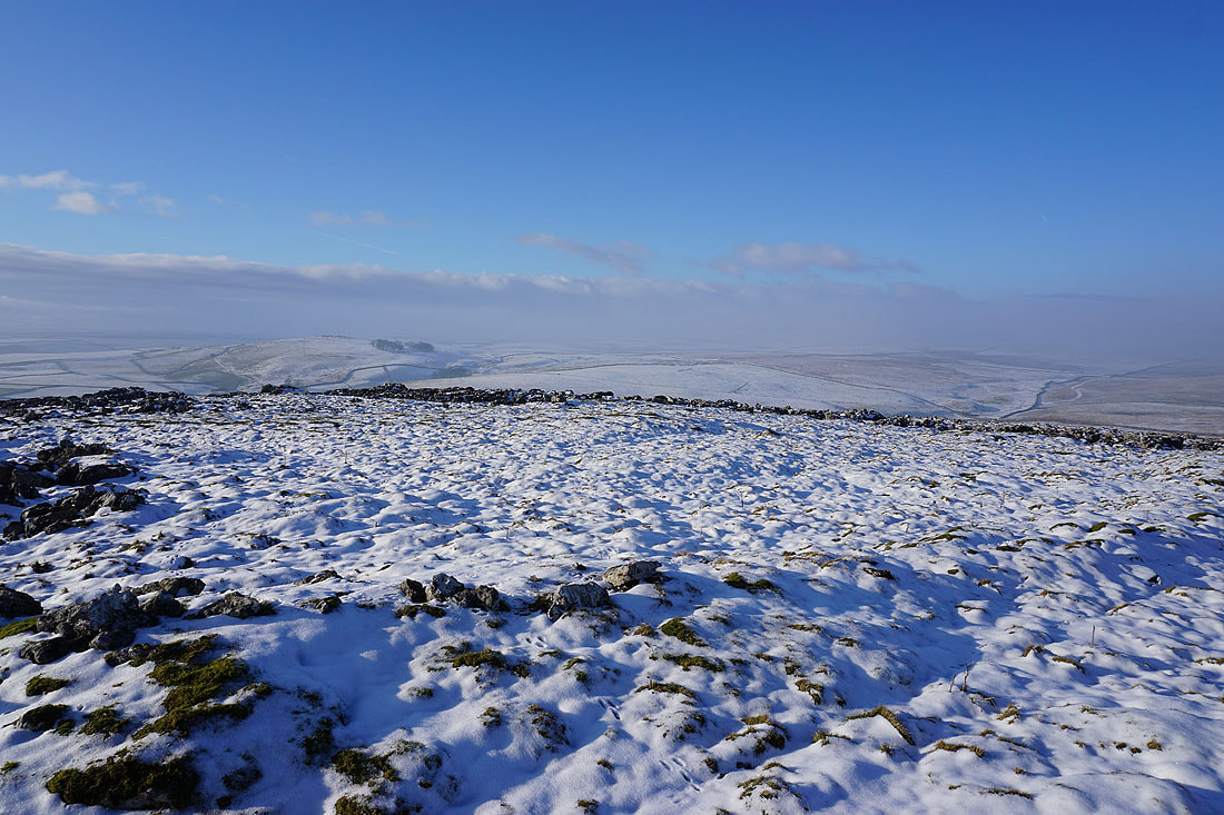
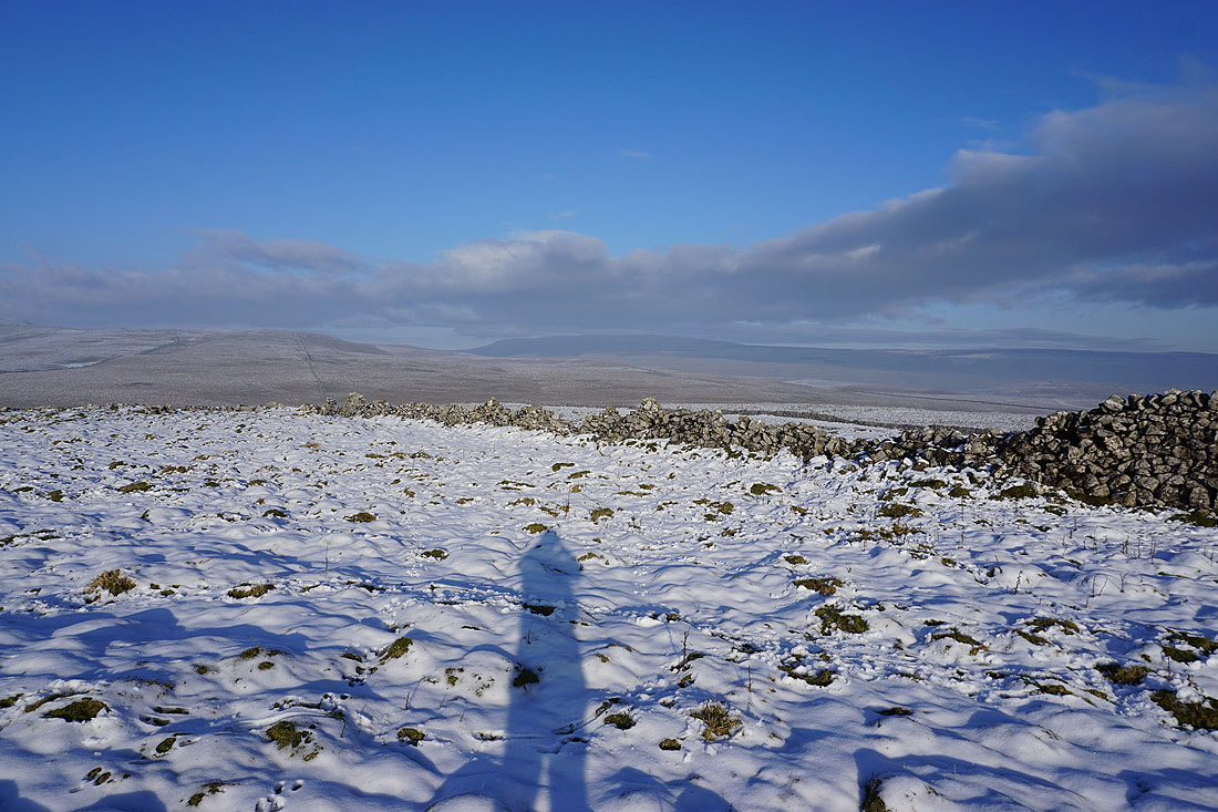
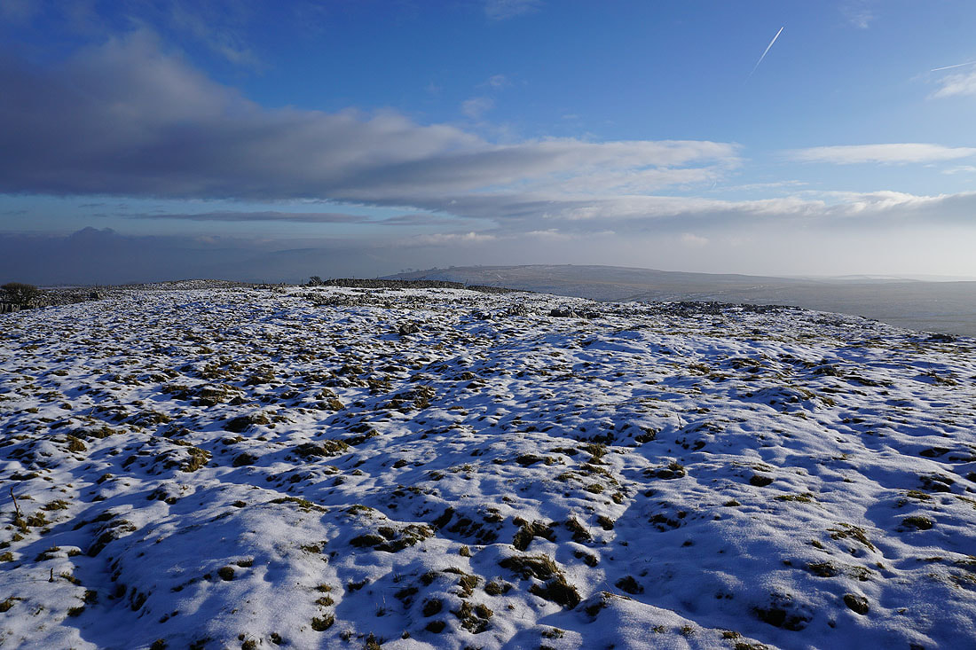
At the trig point on Weets Top. The perfect spot to take a break, sat in the sunshine against the wall.
Fog rolls across the moors as I look over the wall..
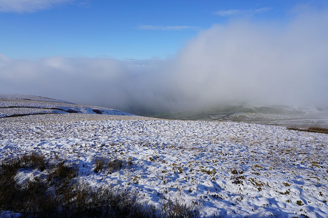
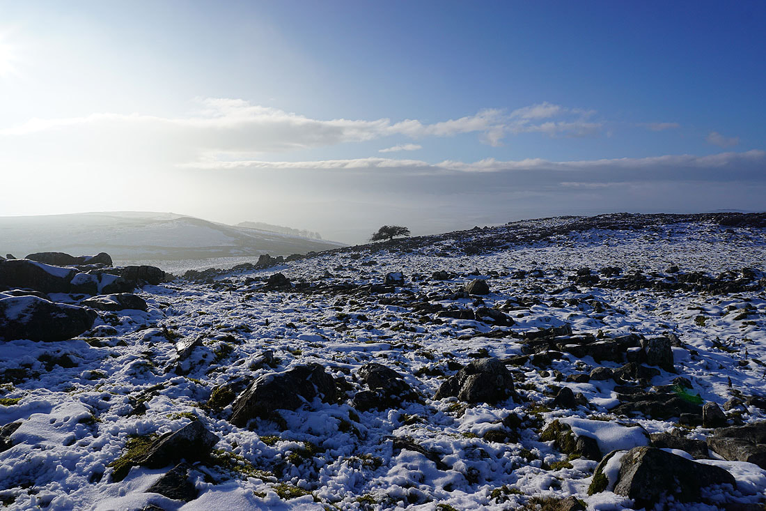
and I can make out the top of Cracoe Fell above the fog in the distance
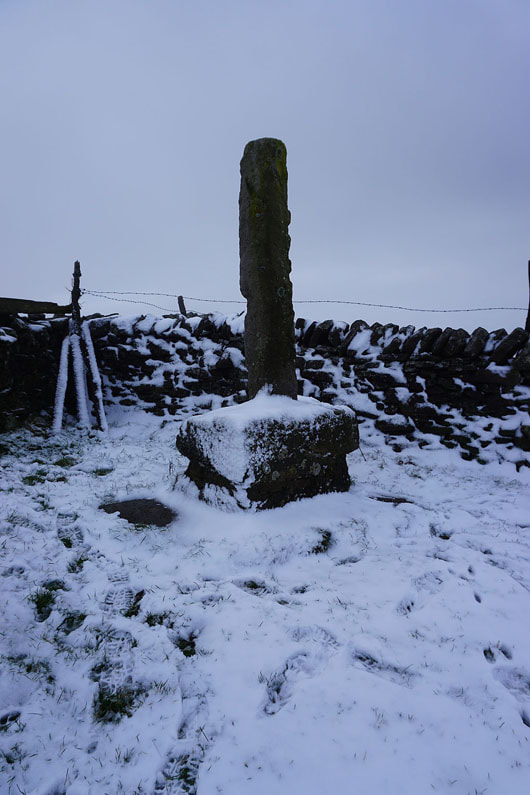
The remains of Weets Cross
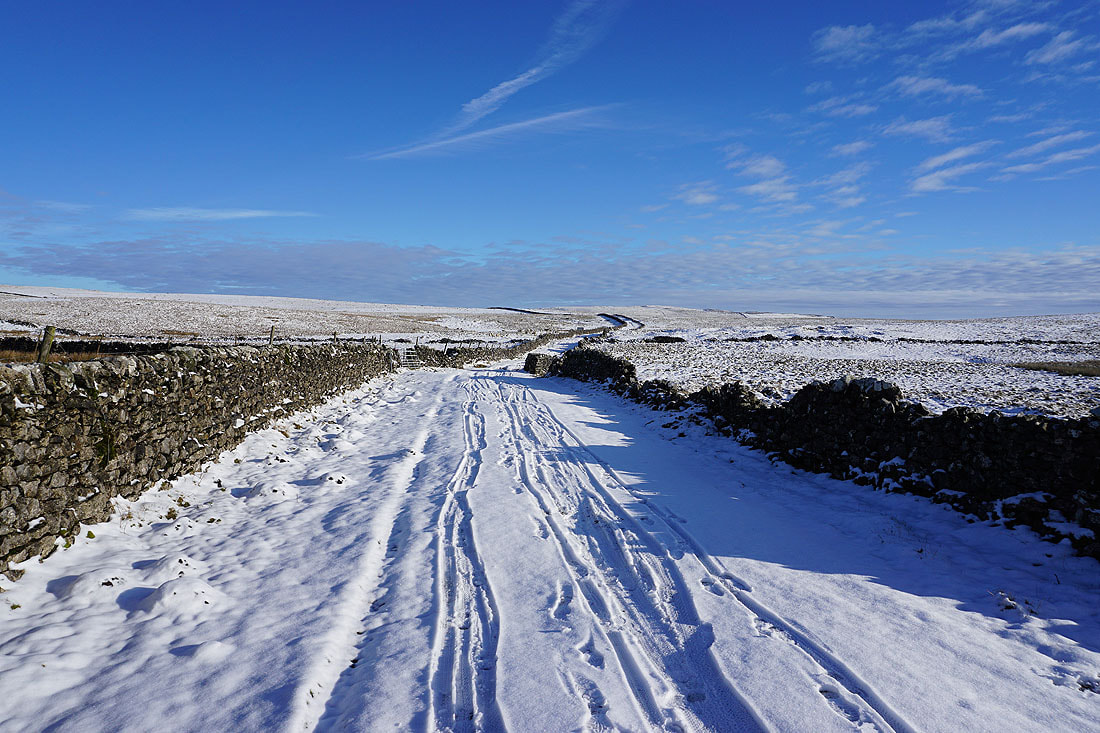
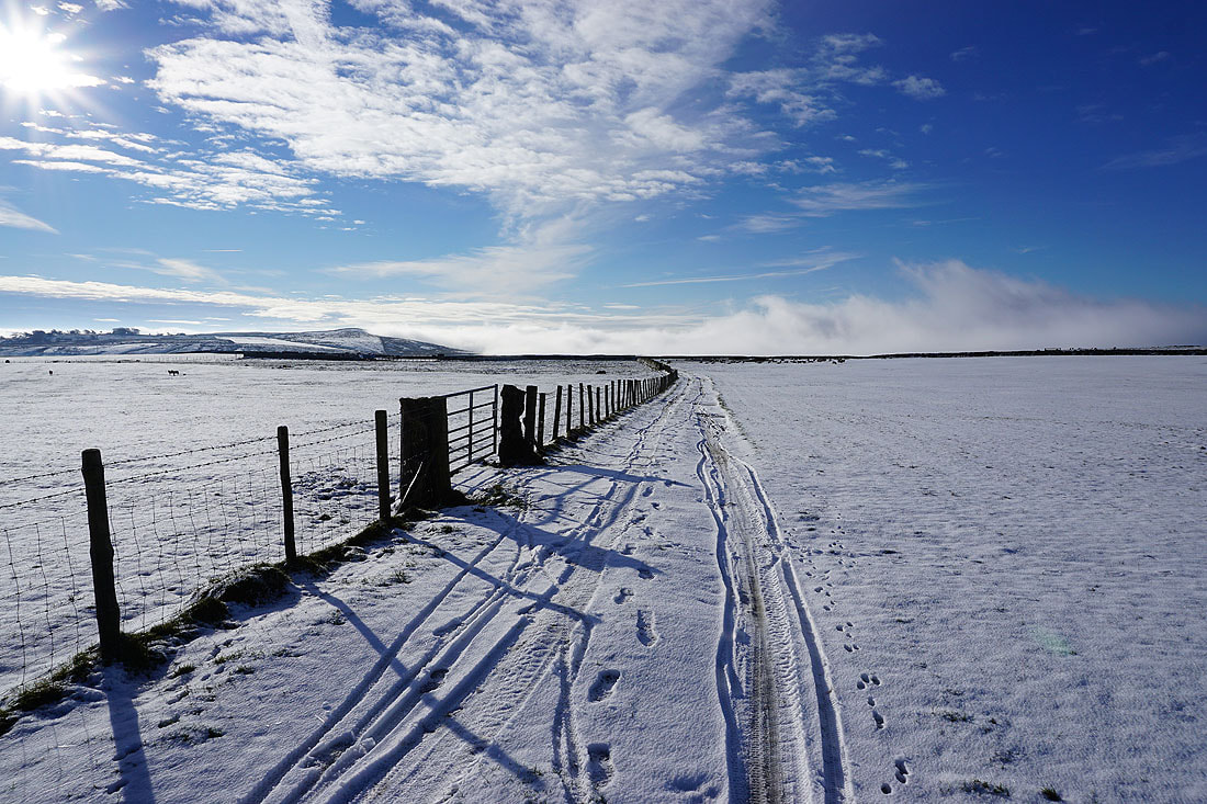
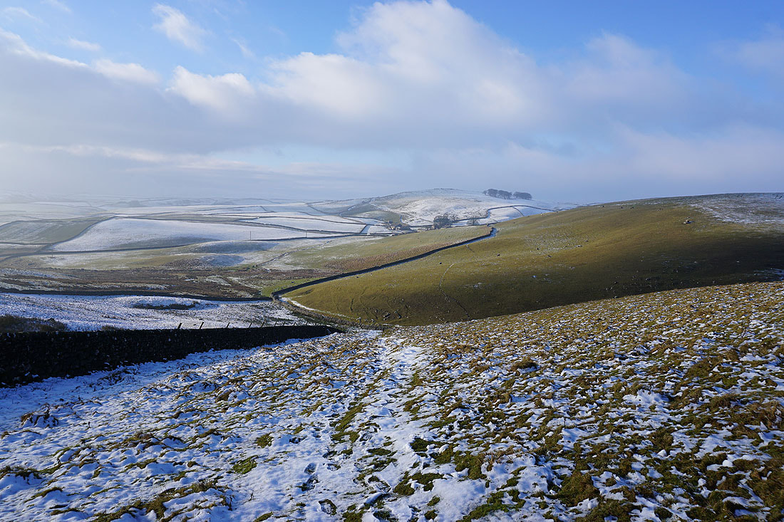
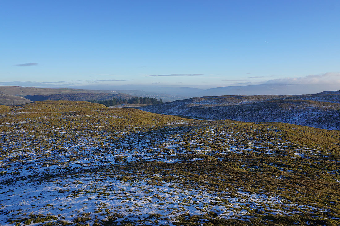
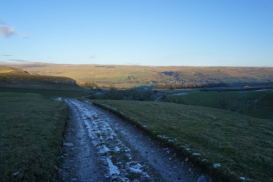
Back on Smearbottoms Lane to Middle Laithe. The weather has changed completely from just over an hour ago.
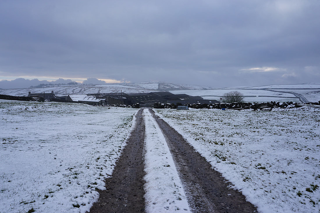
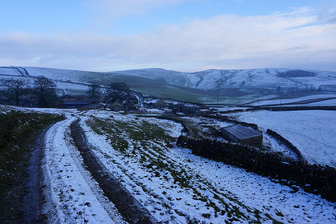
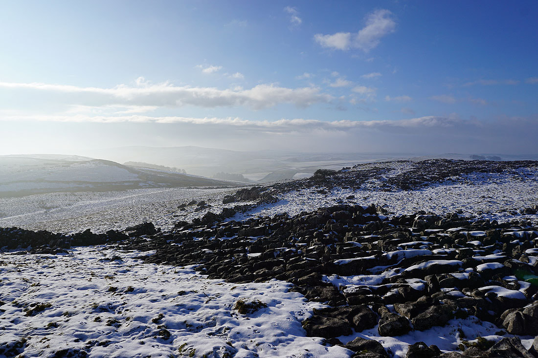
Middle Laithe from the bridleway at Lee Gate with Weets Top in the distance
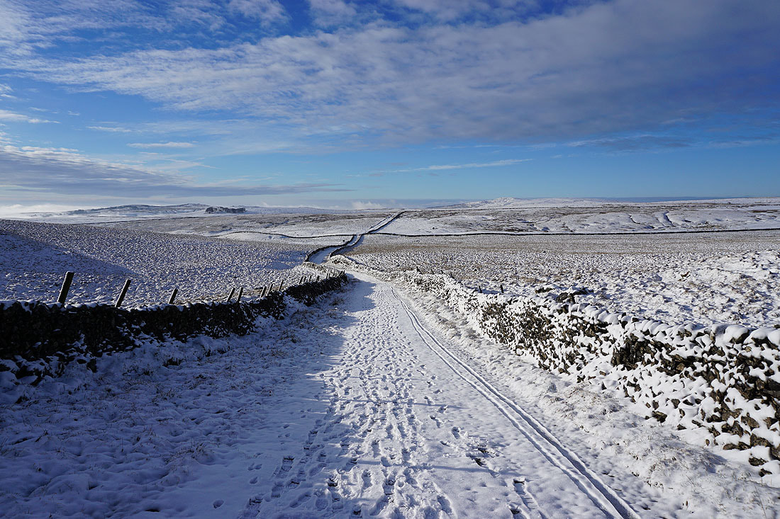
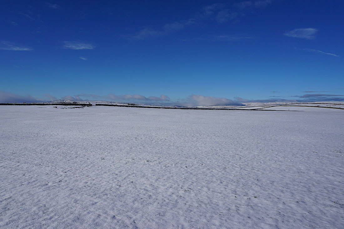
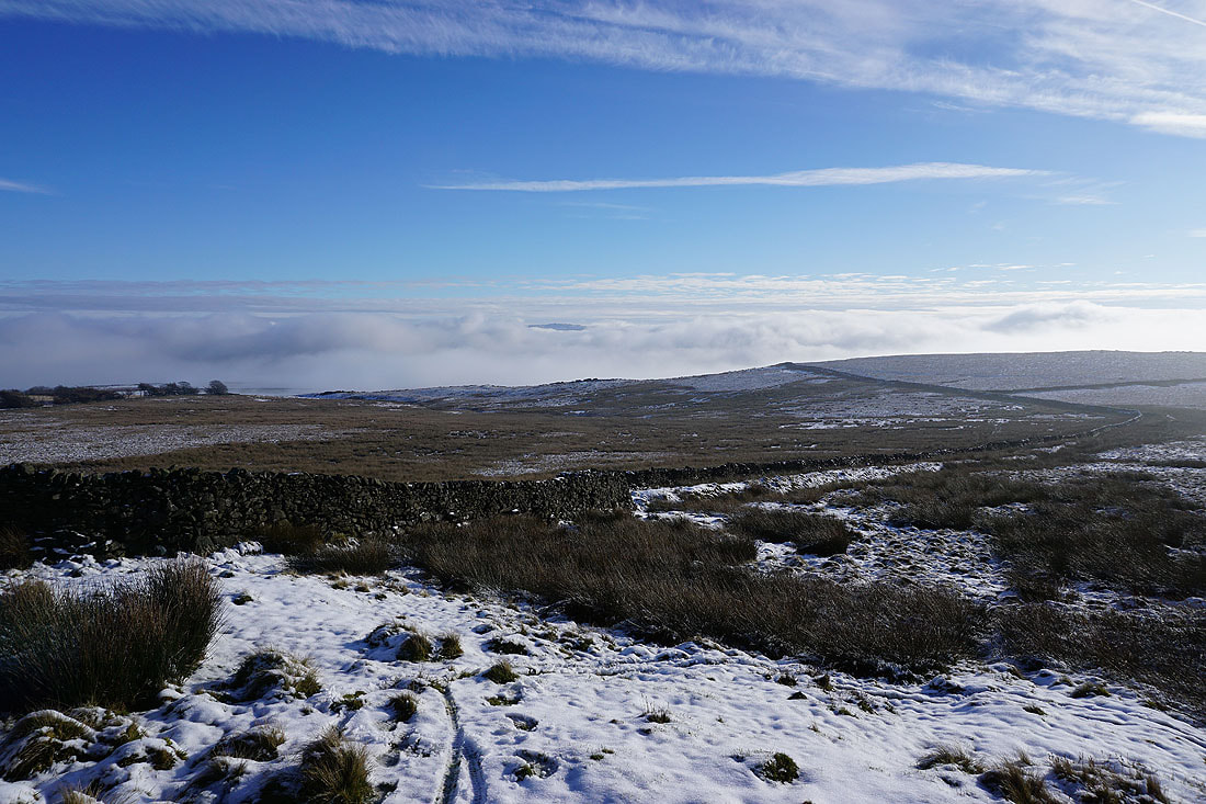
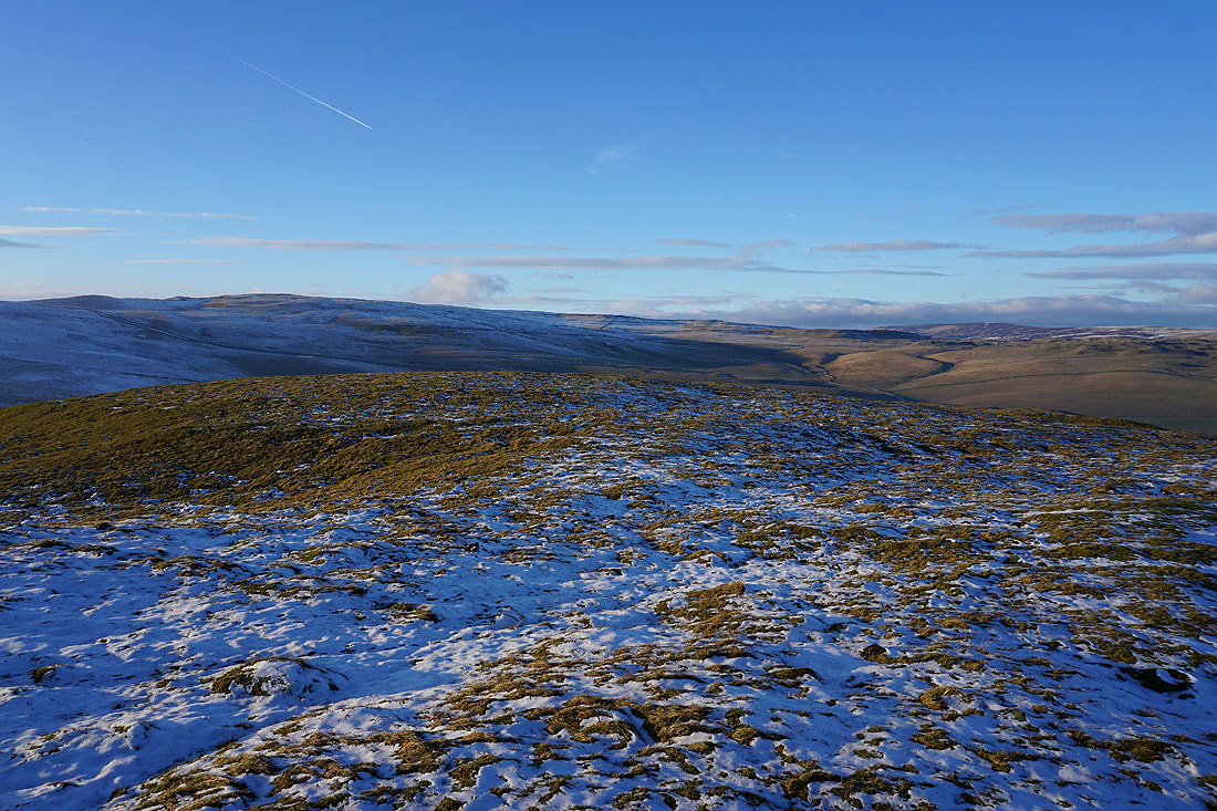
There are clearer skies not too far away over the moors to the north of Mastiles Lane
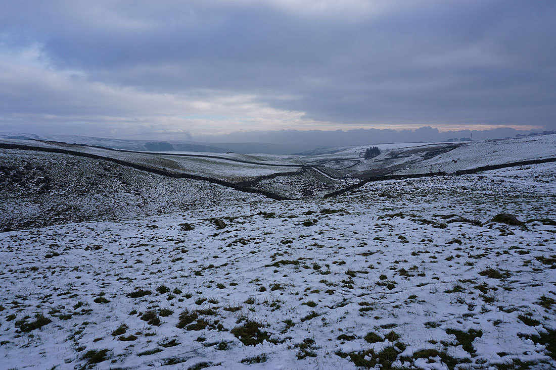
Looking down the valley of Heber Beck
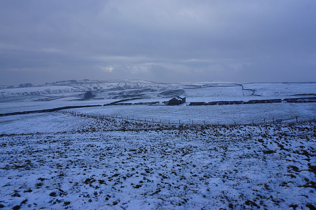
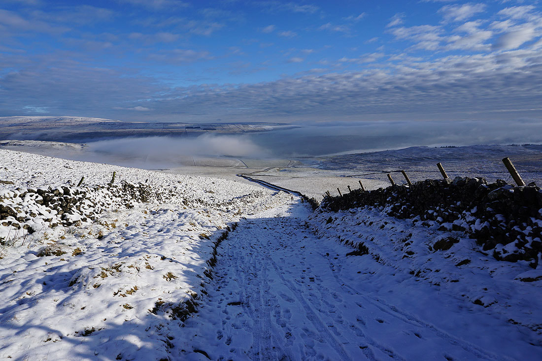
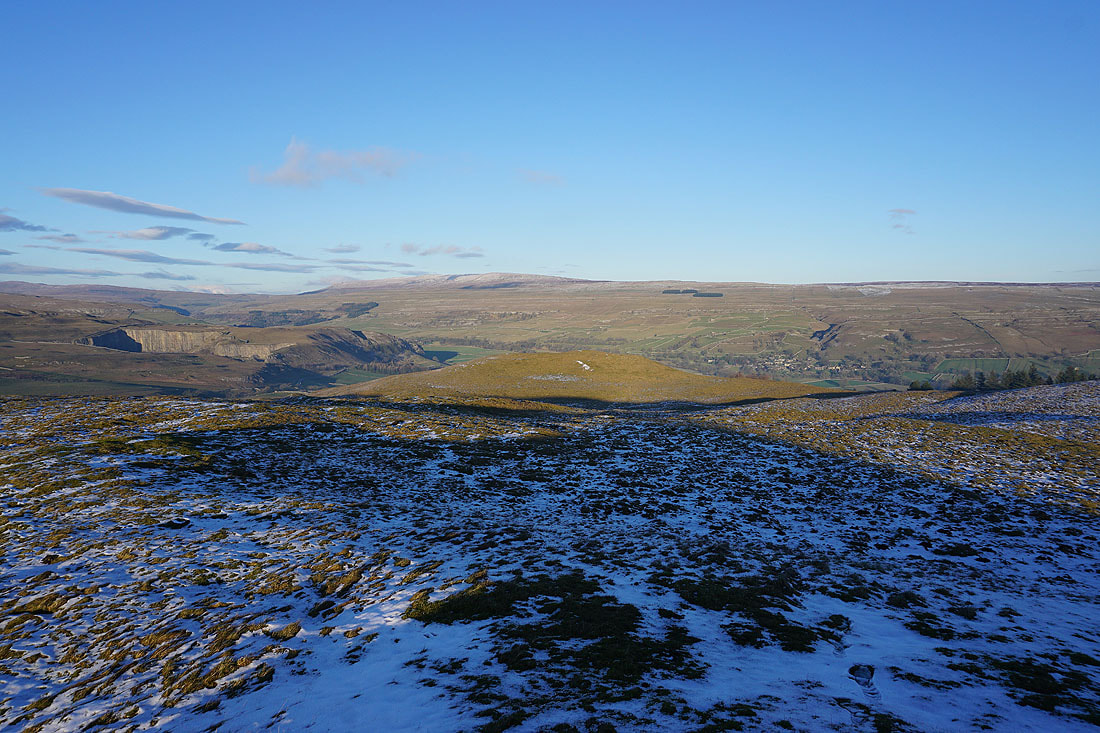
A bleak winter scene. Weets Top and Cow Gill Cote.
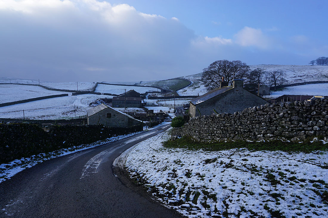
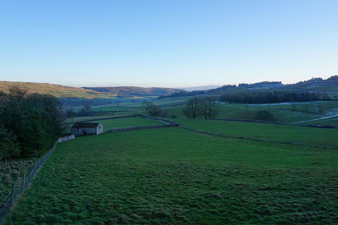
Approaching the hamlet of Bordley
The skies start to clear as I leave Bordley
Onto the path to Malham Moor from Bordley
The sun bursts through in spectacular style
Past a dry limestone valley
Looking back to Bordley from Malham Moor
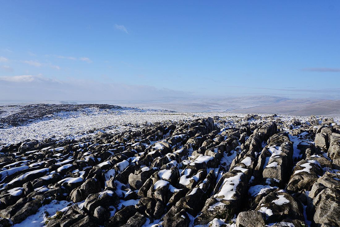
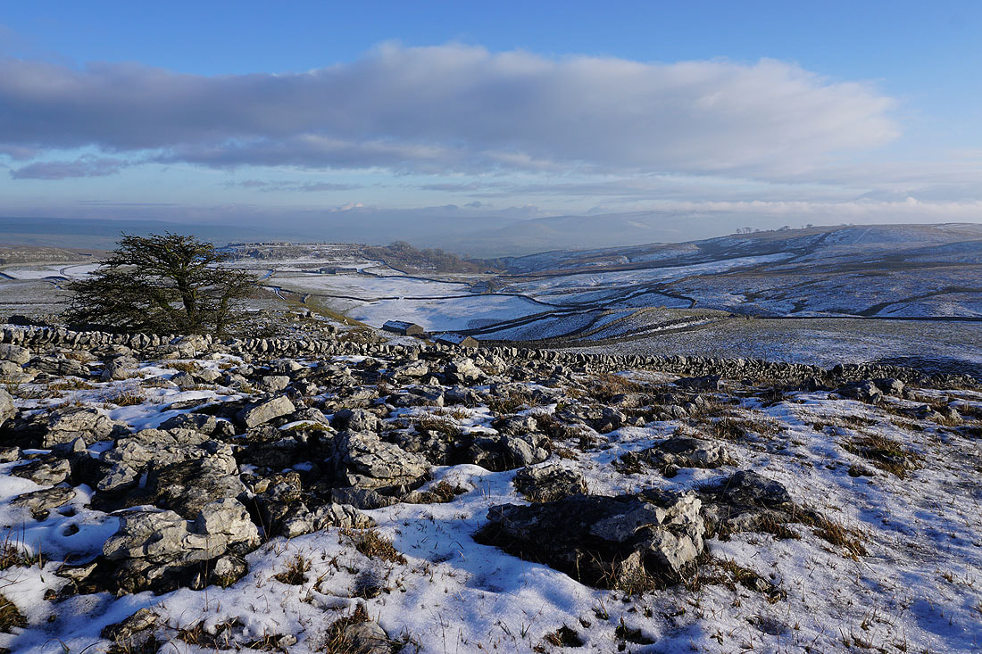
I've left the path to explore the limestone pavement on Malham Moor. Looking west to Kealcup Hill and the moors around Mastiles Lane.
Great Whernside in the distance
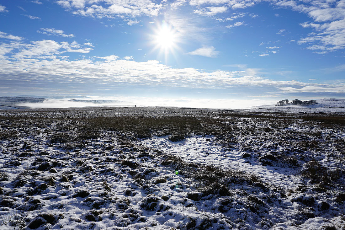
More photos from Malham Moor. An atmospheric spot with the sun shining through the mist......
Heading for Height Laithe
Height House, Height Laithe and Cow Close Wood
Across Malham Moor Lane
and onto the bridleway north to Mastiles Lane. Great Whernside in the distance on the right.
Holgates Kilnsey Moor
The bridleway drops through this little gap in the moors down to Mastiles Lane. I'm going to go to the top of Green Haw Hill first to get the view.
Looking down Wharfedale towards Grassington
Great Whernside
Holgates Kilnsey Moor
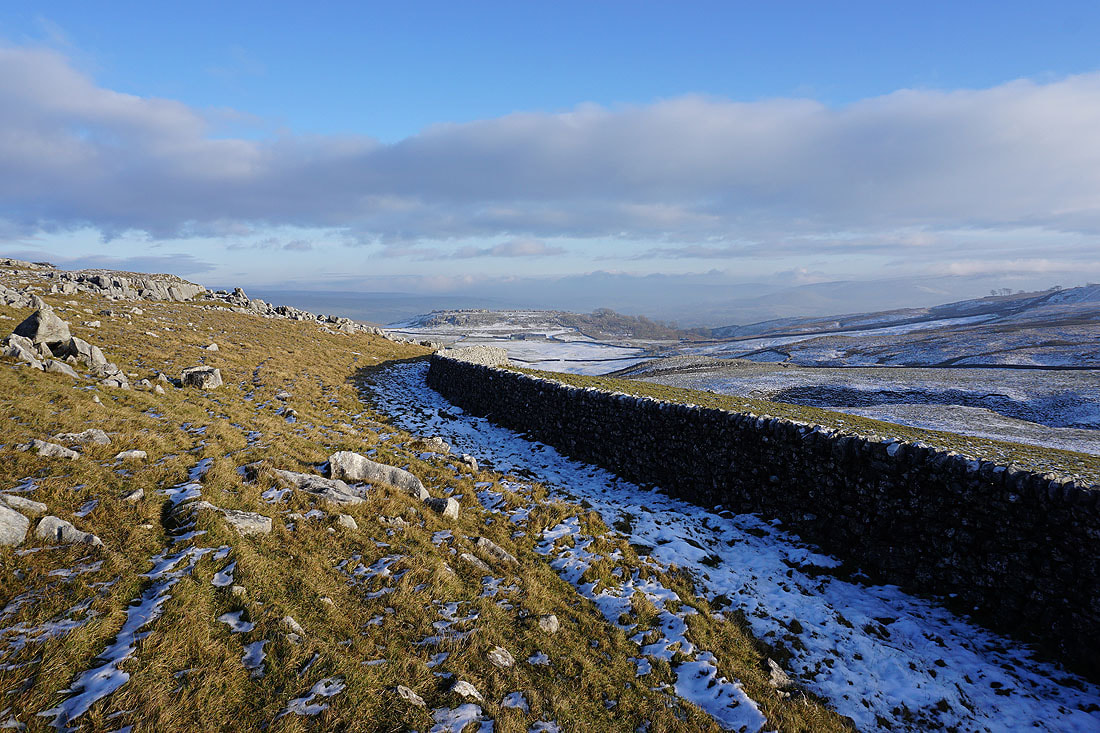
Back on Mastiles Lane and looking back up to Holgates Kilnsey Moor
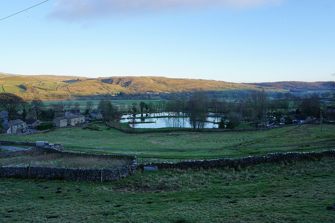
Walking down Mastiles Lane to Kilnsey
Looking down Wharfedale to Grass Wood
The fishing lodges at Kilnsey Park
The River Wharfe as I arrive back at Conistone Bridge