20th July 2008 - The Langdale Pikes
Walk Details
Distance walked: 7.6 miles
Total ascent: 2730 ft
OS map used: OL6 - The English Lakes, South-western area
Time taken: 5 hrs
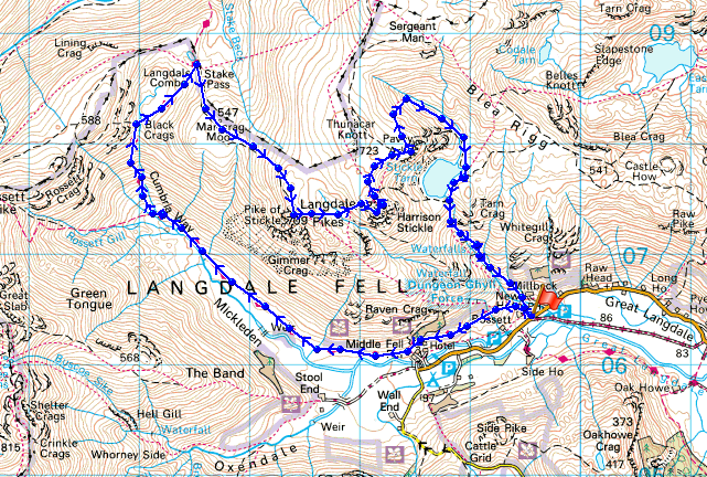
Route description: Stickle Barn car park-Mickleden-Stake Pass-Martcrag Moor-Pike o'Stickle-Harrison Stickle-Pavey Ark-Stickle Tarn-Stickle Ghyll-Stickle Barn car park
A different route for this round of the Langdale Pikes as I approached Pike o'Stickle from Martcrag Moor before visiting Harrison Stickle and Pavey Ark.
Route map
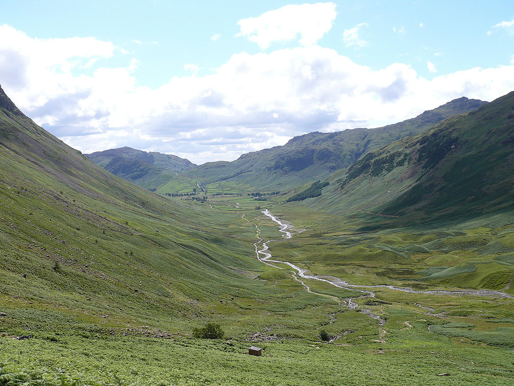
A view back down Mickleden as I head up the path to the Stake Pass
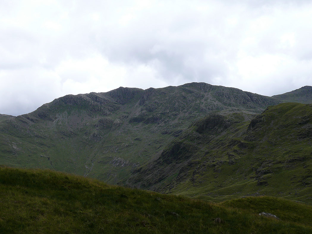
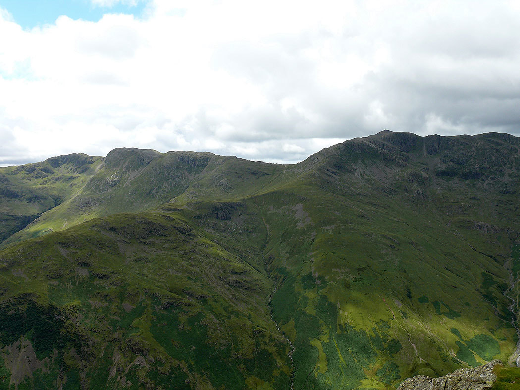
Bowfell across Mickleden as I head up Martcrag Moor
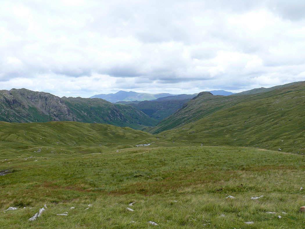
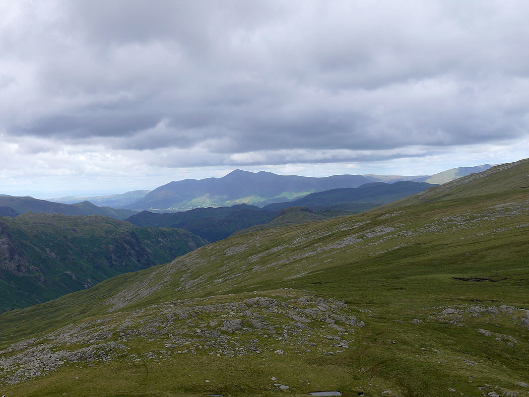
Skiddaw in the distance down Langstrath
On the summit of Pike o'Stickle. The Crinkle Crags and Bowfell across Mickleden.
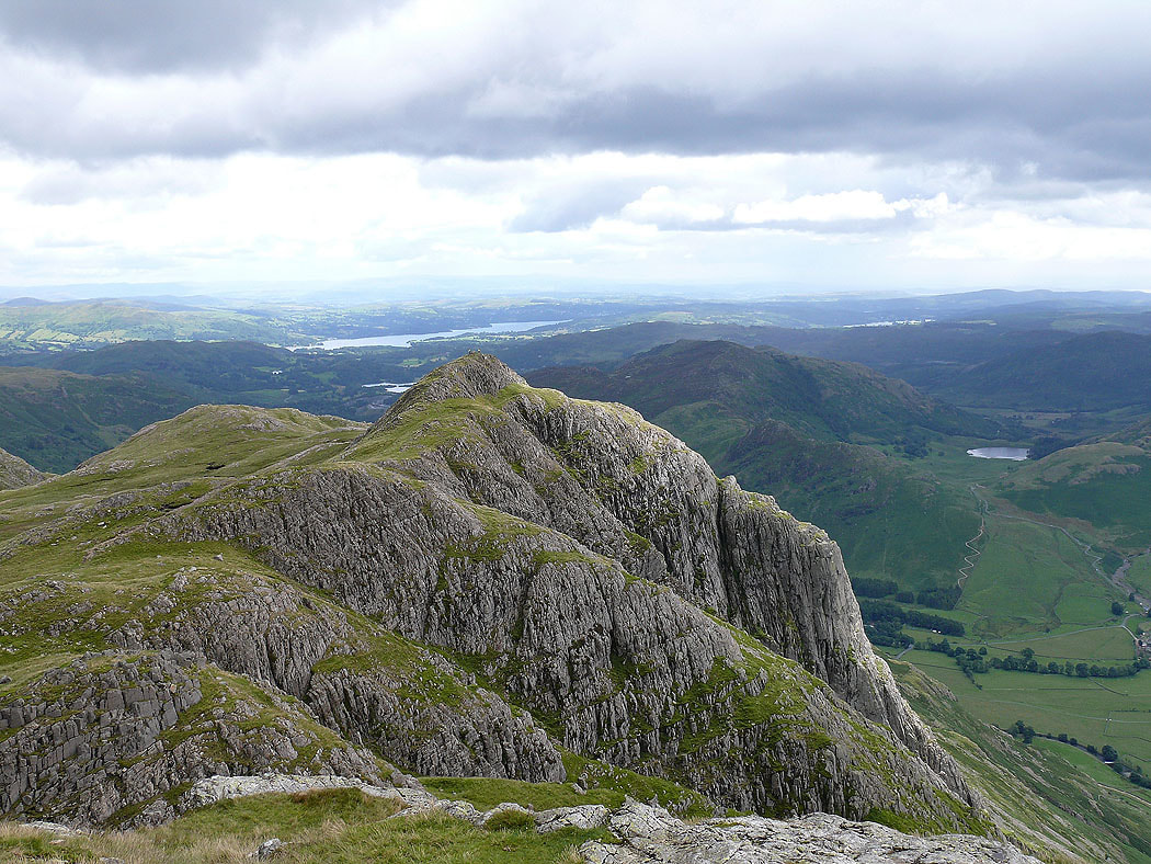
Loft Crag with Windermere behind
Skiddaw
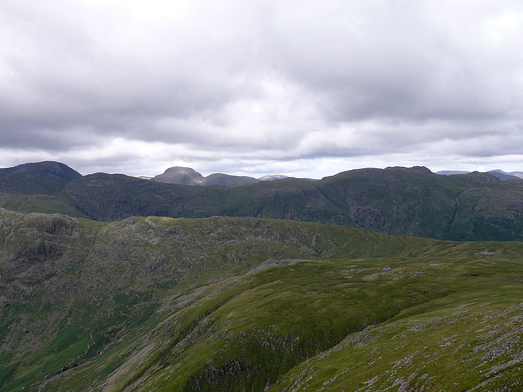
Great End, Great Gable and Glaramara
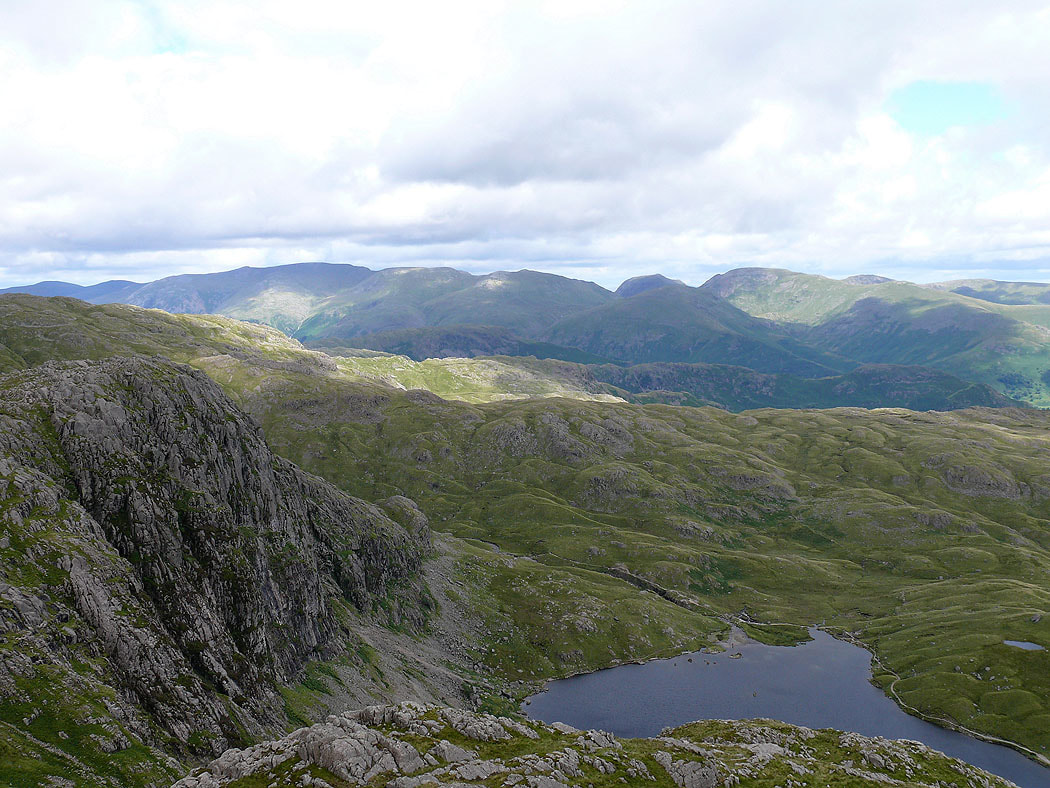
On Harrison Stickle. The crags of Pavey Ark are on the left with Stickle Tarn below. Helvellyn and Fairfield are in the distance.
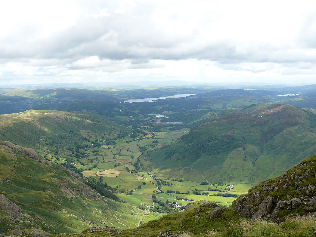
Langdale winding its way down to Windermere
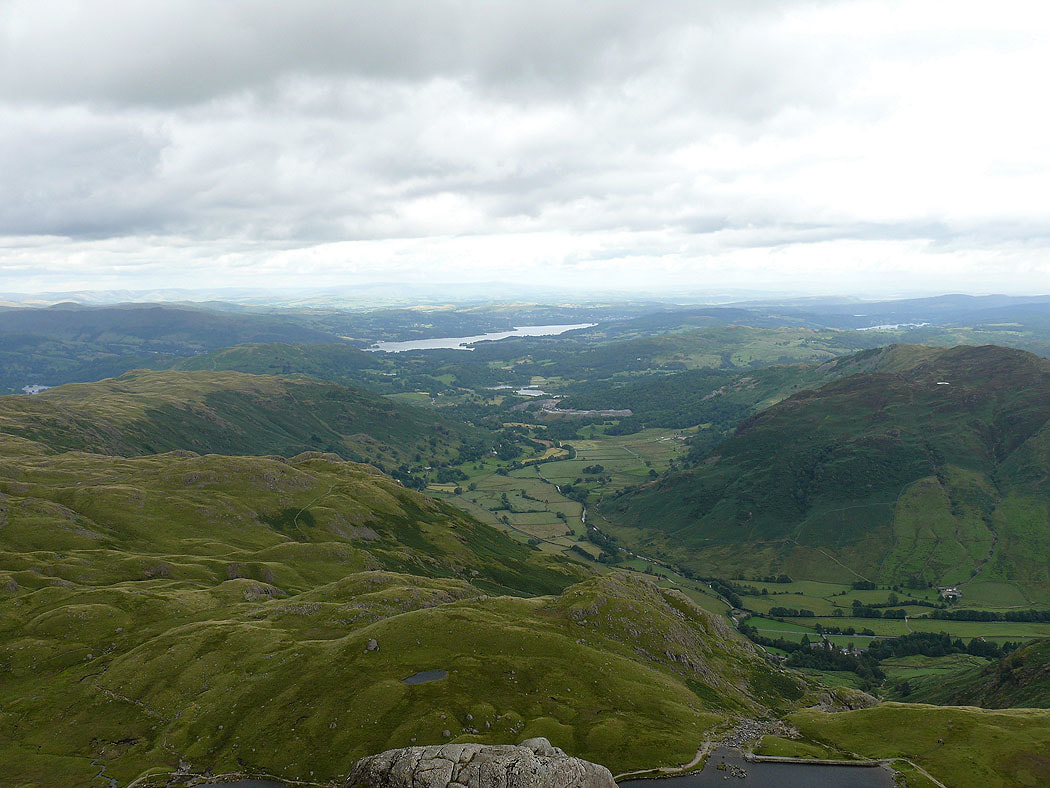
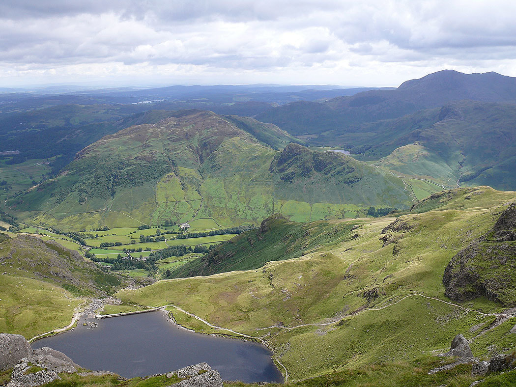
and this time from Pavey Ark
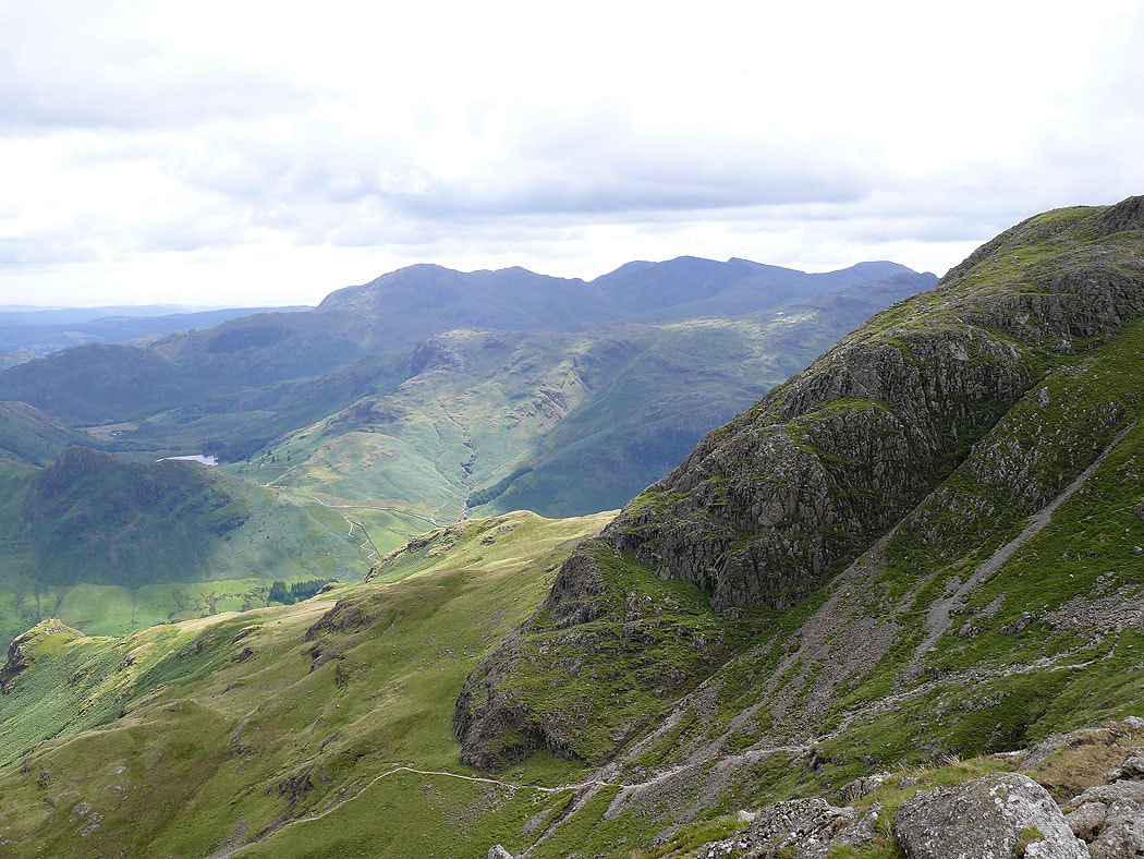
The Coniston fells behind the crags of Harrison Stickle
The last shot is of Lingmoor Fell on the other side of Langdale
