20th July 2013 - Galtymore, Ireland
Walk Details
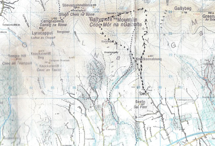
I'm on my own this morning for my final walk in Ireland with a route that will take me to the summit of Galtymore in the Galty Mountains. Brian has kindly given me a couple of his old maps and a description of the route to follow and where to start from.
It's another hot day, almost too hot for hill walking but the breeze that's blowing will make it bareable. The route is approximately 7 miles long and it took me 5 hours for me to do it.
I've included a copy of the route I followed below, though there seems to be an error on the map with the western top of Greenane being labelled as Galtybeg not the 799m top just to the east of Galtymore.
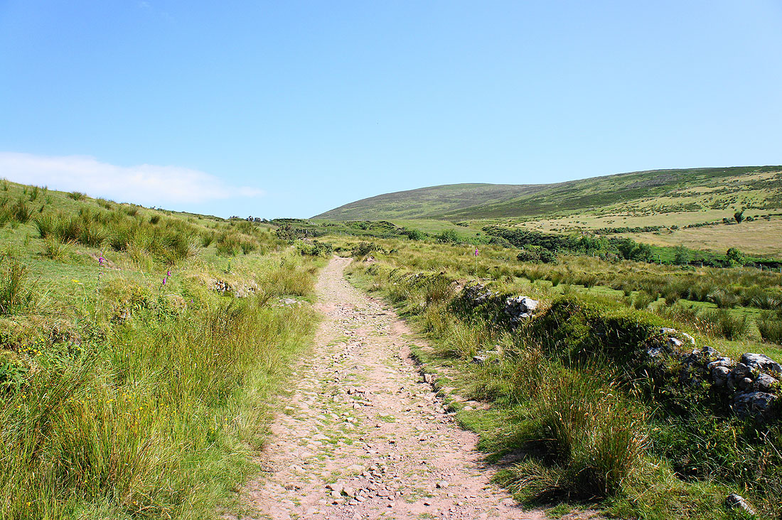
It's another hot day as I set off for Galtymore
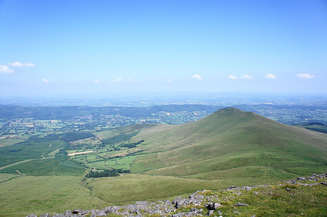
A look back at the hill of Seefin. I'm parked in the valley below on the left.
My first view of Galtymore and Galtybeg
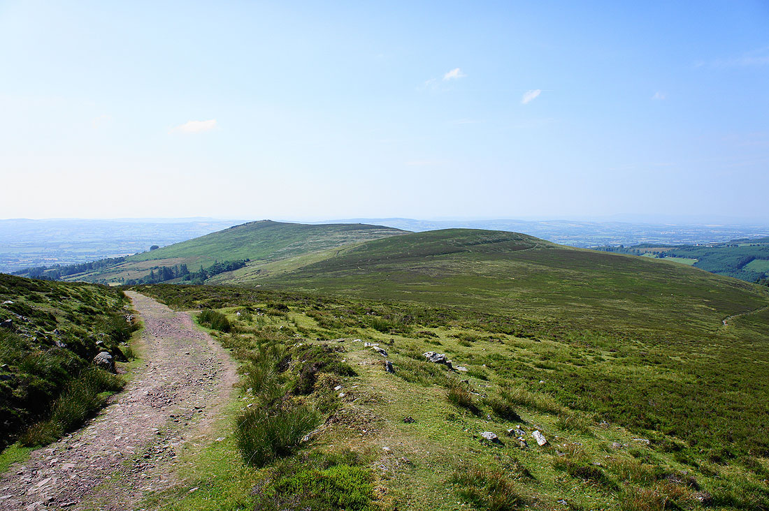
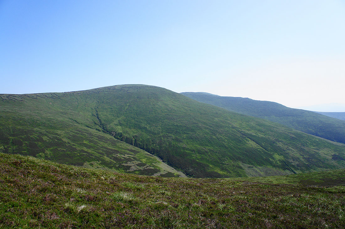
Greenane West Top and Greenane
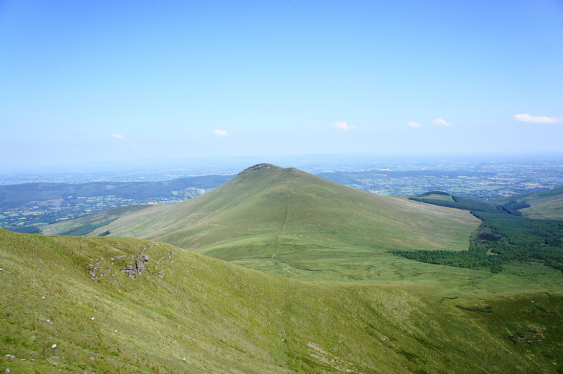
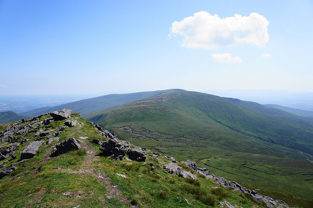
Cush Cois as I make my way up onto Galtybeg
Borheen Lough with the hill of Knockastakeen in the background
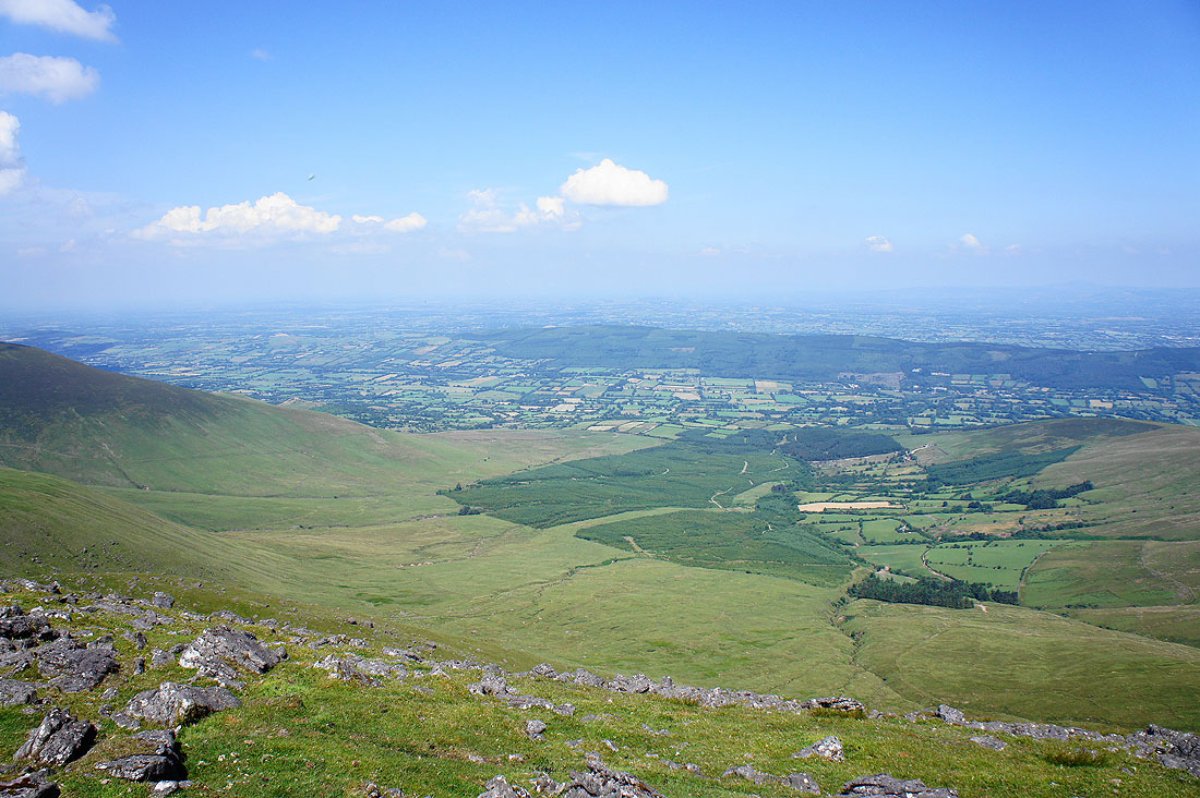
On the summit of Galtybeg at 799m. The view to the north across the Glen of Aherlow and..
..Cush Cois
Greenane West Top with Greenane right behind
Looking south to the Knockmealdown Mountains
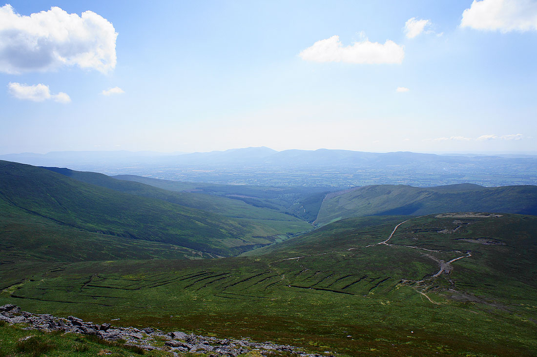
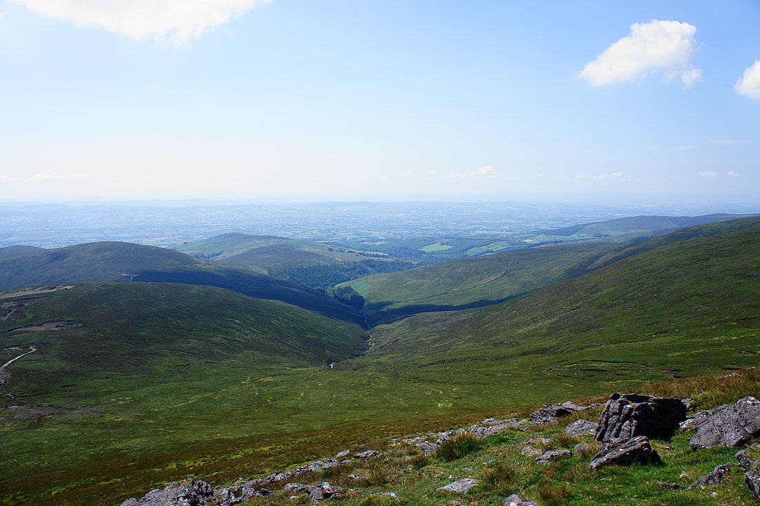
To the southwest is the valley of the Attychraan River which I'll be crossing later in the day as I head back
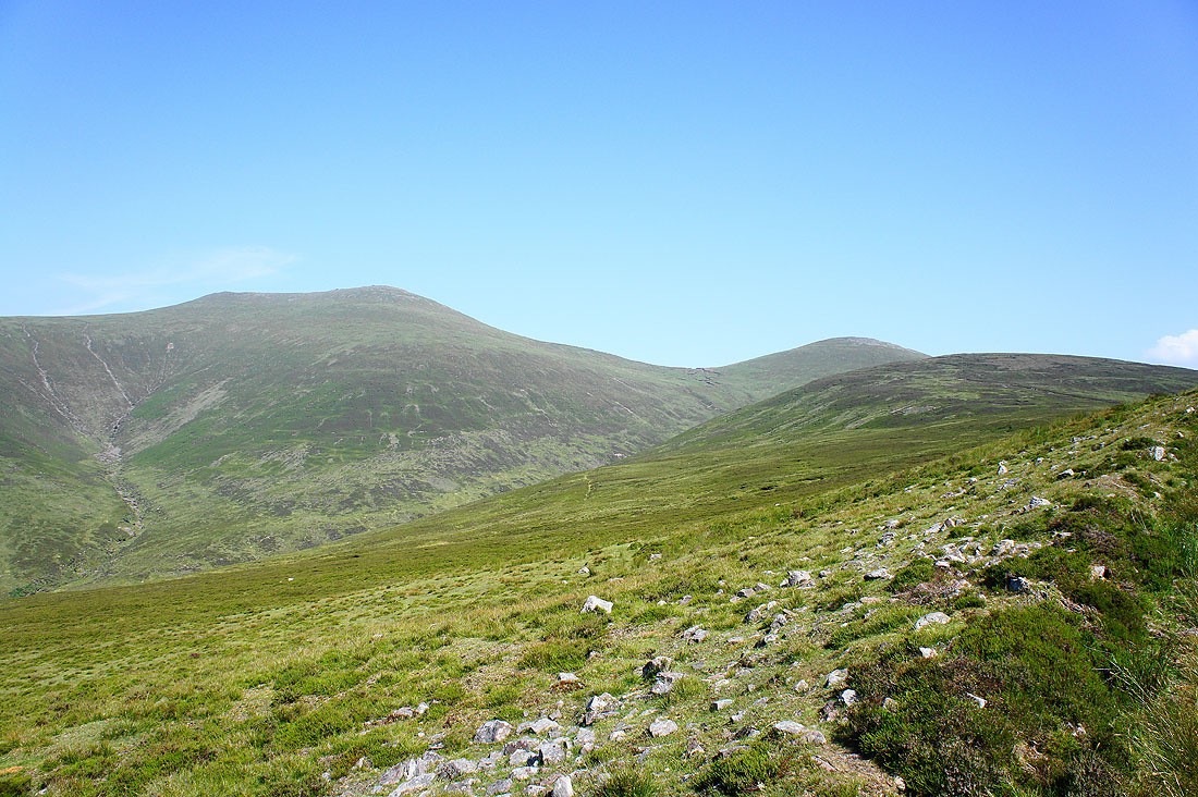
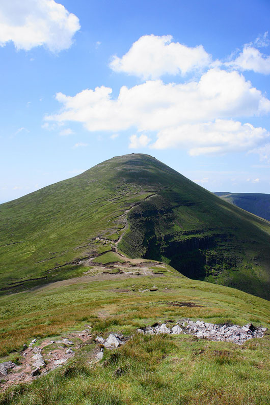
Galtymore Mountain. Looks like I've got some work to do.
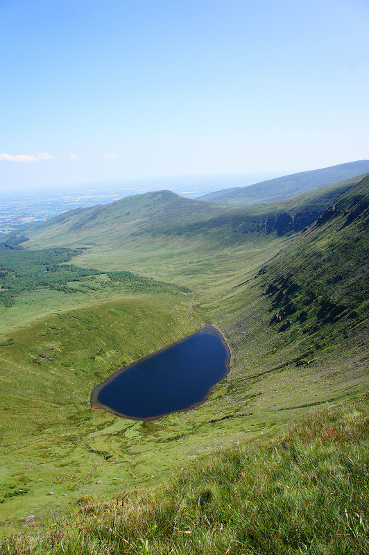
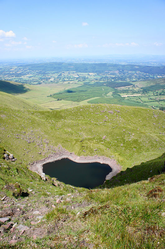
Passing Lough Diheen
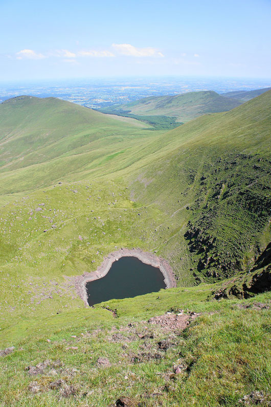
and again as I make my way up Galtymore. The north face of the coum looks sheer.
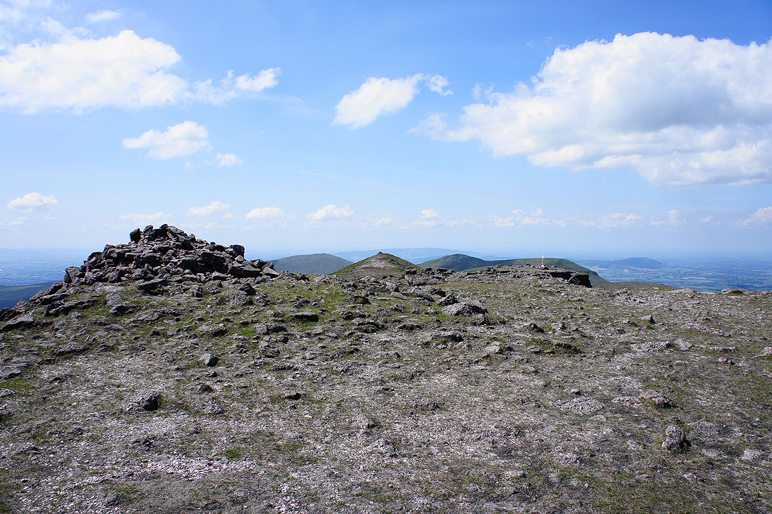
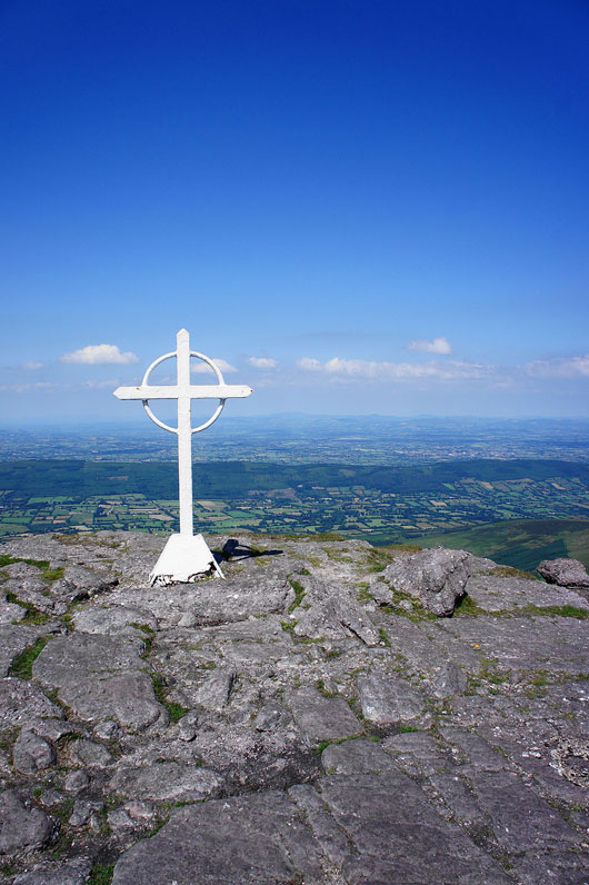
On the rocky summit of Galtymore at 919m (3015ft)
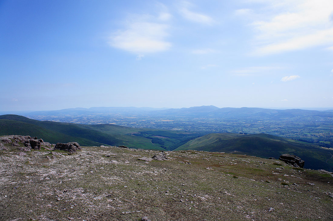
The visibility has been improving since I set off as the haze is being blown away. Looking to the southeast, in the far distance on the left are the Comeragh Mountains with Knockanaffrin being the hill to the left of the prominent dip. On the right are the Knockmealdown Mountains.
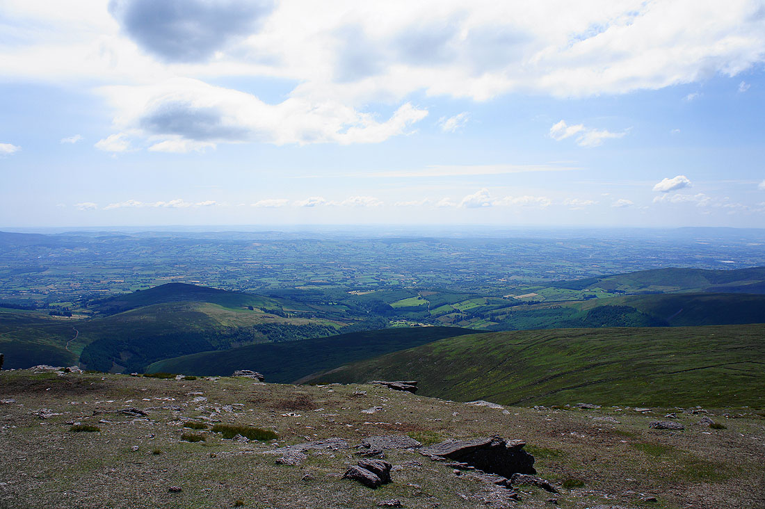
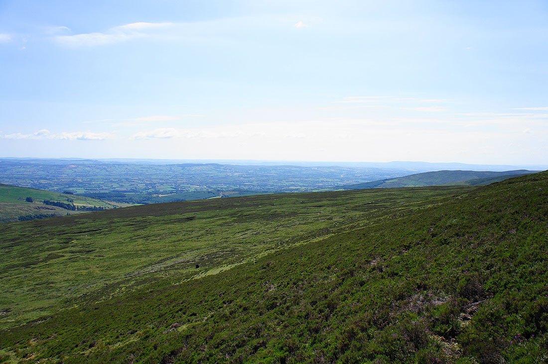
The view southwest towards County Cork
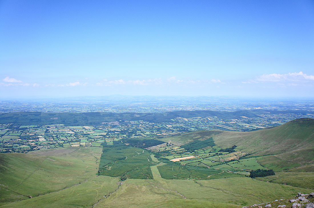
Looking north across the Glen of Aherlow. The high point of the low range of hills on its other side is Slievenamuck and the town of Tipperary is on the other side.
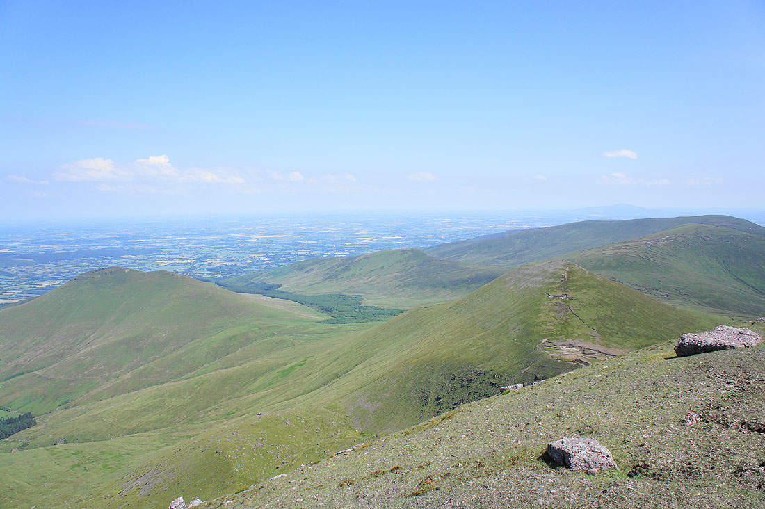
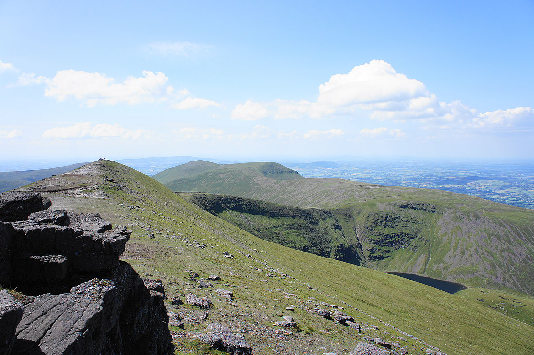
Galtybeg is below on the right, Cush Cois on the left and Knockastakeen and Greenane behind on the right
The cross on the summit
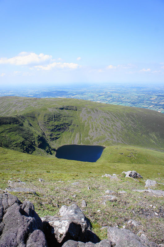
Looking west from the summit. Lough Curra is just visible below on the right. I'm going to head to the cairn at the western end of the summit for a better view and to head back down.
Lough Curra below Slievecushnabinnia
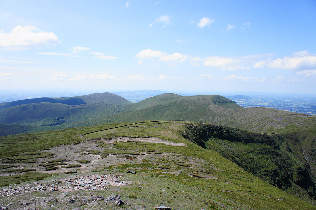
The ridge continues to the west across Carrignabinnia, Lyracappul and Temple Hill
Heading down Knockduff, the south ridge of Galtymore. It's a beautiful afternoon with great views.
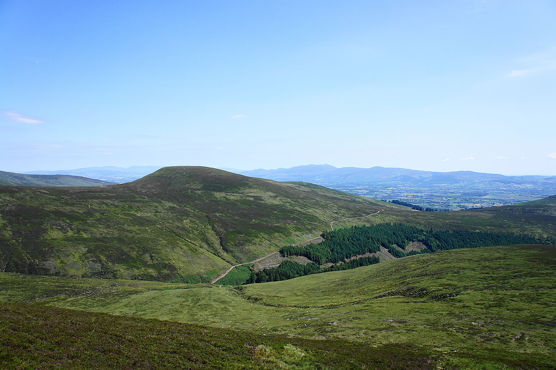
I'm aiming for the track on the other side of the valley below the hill of Knockeenatoung
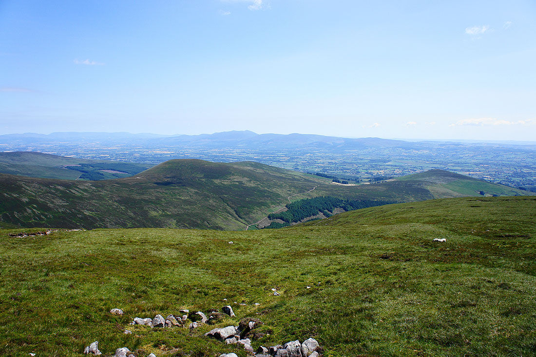
One last look at the view to the southwest
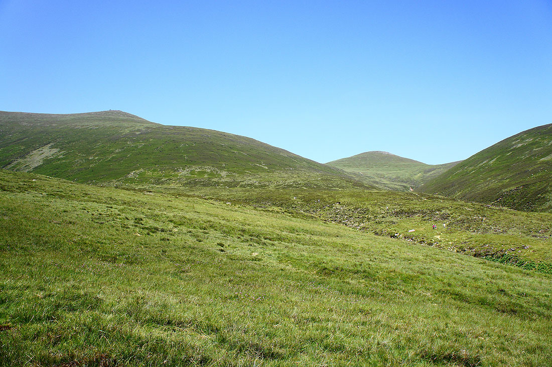
Galtymore and Galtybeg above
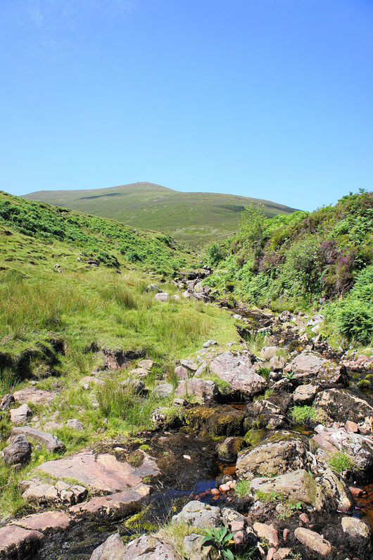
Crossing the Attychraan River with the summit of Galtymore above
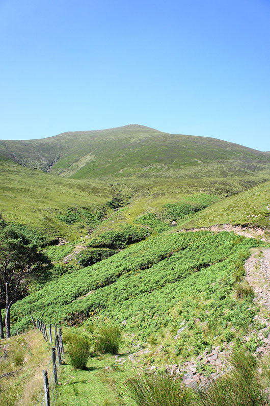
and another shot of Galtymore but from the track that will take me back to the start
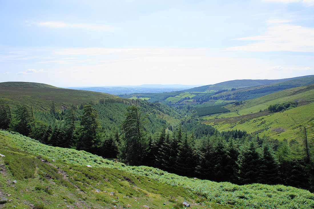
The valley of the Attychraan River below
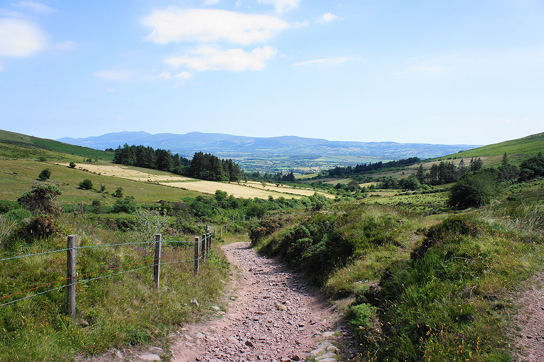
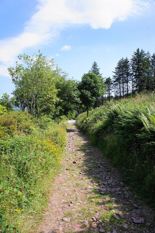
On the track I started out on and I've really enjoyed my walk in the Galty Mountains
Almost back and my hire car with no air-conditioning awaits. Aaarrghh!
