20th June 2020 - Boss Moor to Weets Top and back
Walk Details
Distance walked: 13.4 miles
Total ascent: 2061 ft
OS map used: OL2 - Yorkshire Dales, Southern & Western areas
Time taken: 7 hrs
Route description: Boss Moor Lane-Boss Moor-Threshfield Moor-Malham Moor Lane-Malham Moor-Mastiles Lane-Holgates Kilnsey Moor-Mastiles Lane-Smearbottoms Lane-Weets Top-Hetton Common Head-Hetton Common-Dales High Way-Moor Lane-Boss Moor Lane
Today was my first visit to the Yorkshire Dales since the lockdown restrictions were eased, and then it was only just over the southern boundary of the park. I'm very familiar with this part of the Dales, it being close to where I live, and I knew that the route that I'd worked out would be quiet, which was just what I was looking for. I've found that this moorland between Malhamdale and Wharfedale is just the place to go for solitude and great views, despite it being close to popular locations such as Malham and Grassington. The forecast was for a fine summer's day, but for a couple of hours around the middle of the day the skies clouded over, and it became quite grey, overcast and breezy with a bit of light rain. Thankfully I'd decided to bring a waterproof with me.
From where I parked at the quarries at the top of Boss Moor Lane, I set off by following the bridleway north across Boss Moor, then the bridleway north across Threshfield Moor to Malham Moor Lane. I crossed the road and took the bridleway opposite, following this north across Malham Moor and down to Mastiles Lane (with a detour to the top of a limestone hill just to the east of it). I then made my way west along Mastiles Lane to Mastiles Gate, and then south along a bridleway to the western end of Malham Moor Lane. It was from here that I made my way up to the trig point on Holgates Kilnsey Moor, following a wall up access land, and crossing a couple at the top. After taking in the view and having had my lunch, I made my way back down to the western end of Malham Moor Lane and took the bridleway west to Mastiles Lane, then followed Mastiles Lane to the west until I reached a footpath on the left which took me south to the northern end of Smearbottoms Lane. I then walked south along Smearbottoms Lane until I reached a bridleway on the left which took me up to Weets Gate and the trig point on Weets Top. From Weets Top I then followed the bridleway south to Hetton Common Head, and then southeast down Hetton Common to a bridge over Hetton Common Beck, and up to the bridleway of Moor Lane. Following Moor Lane uphill brought me back to where I was parked on Boss Moor Lane.
Route map
© Crown copyright. All rights reserved. License number PU 100034184.
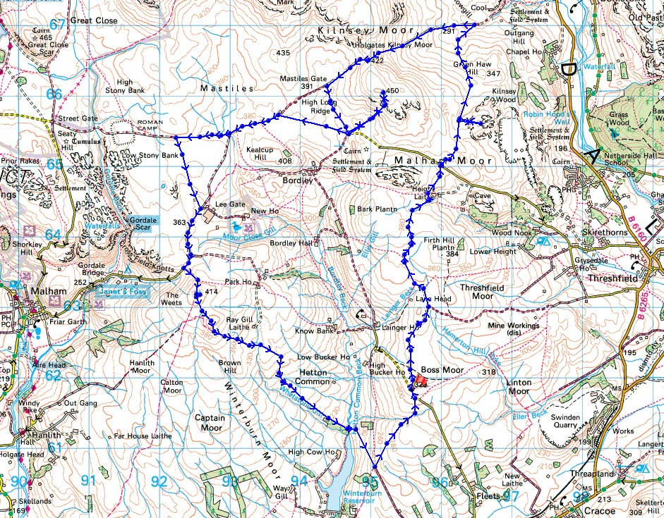
Winterburn Reservoir and a distant Pendle Hill from where I've parked on Boss Moor
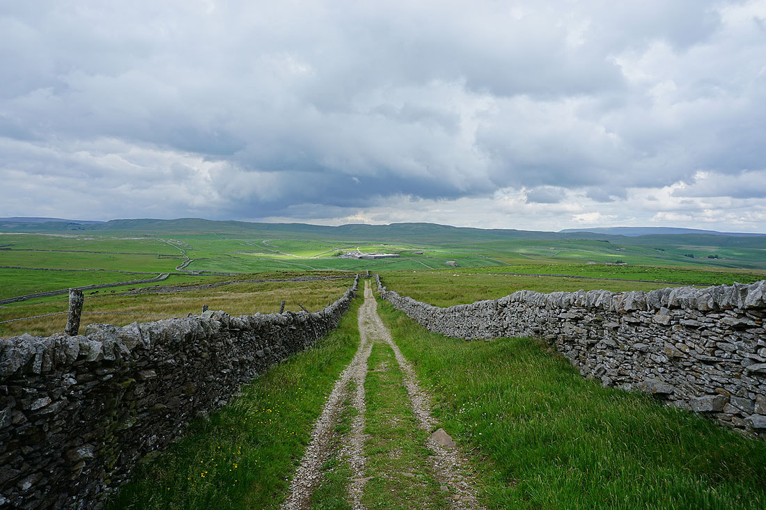
Hetton Common Head, Weets Top, and the moors north of Malham
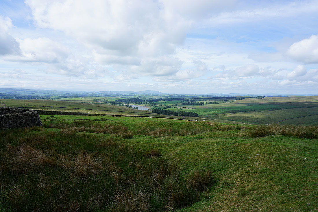
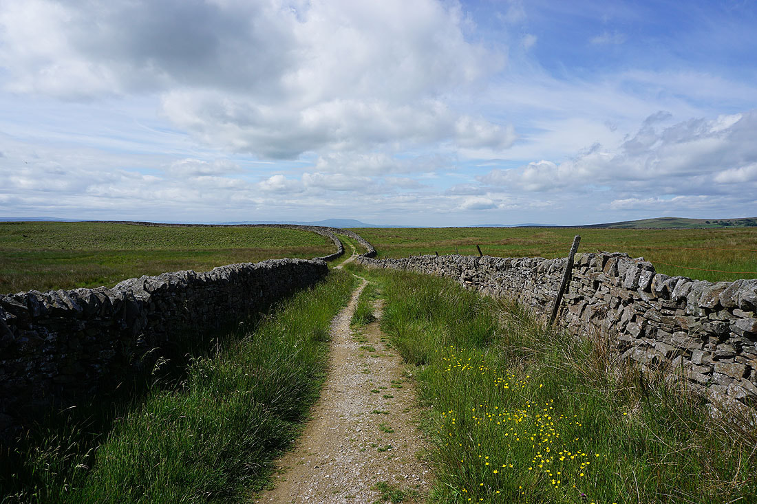
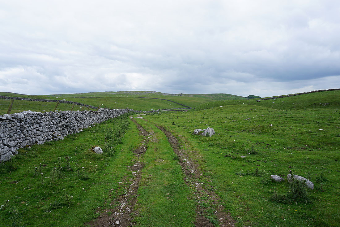
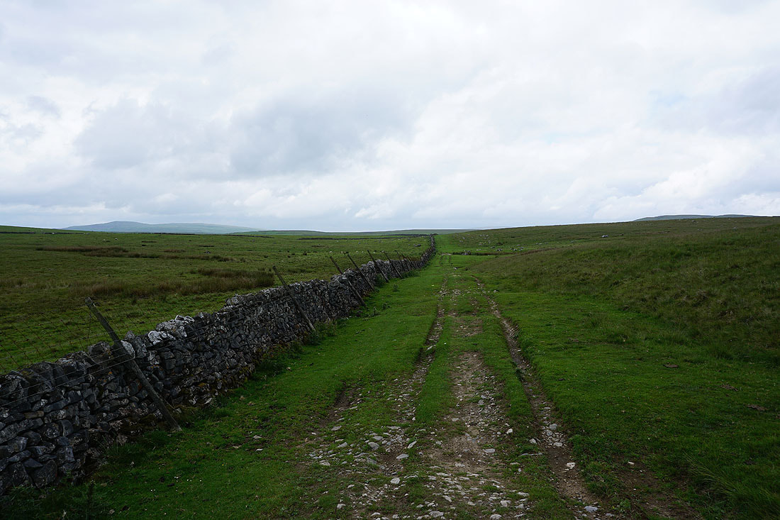
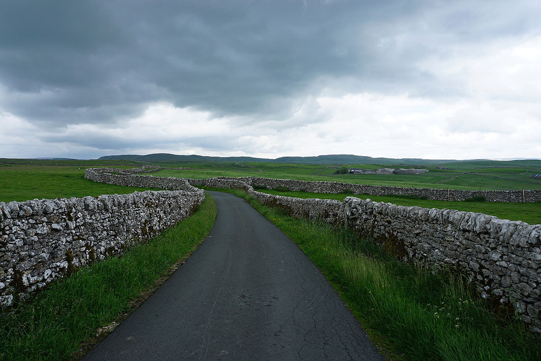
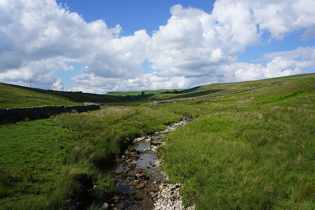
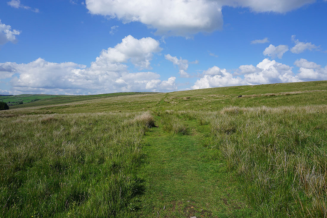
On the bridleway north across Boss Moor
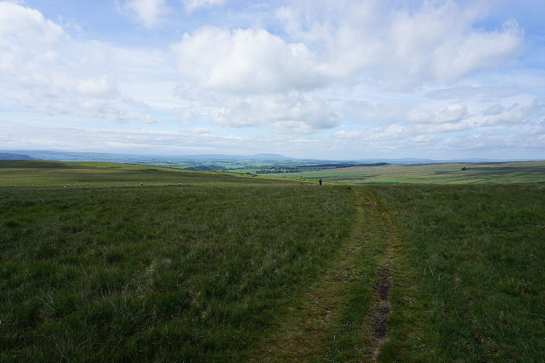
Looking back to Pendle Hill in the distance
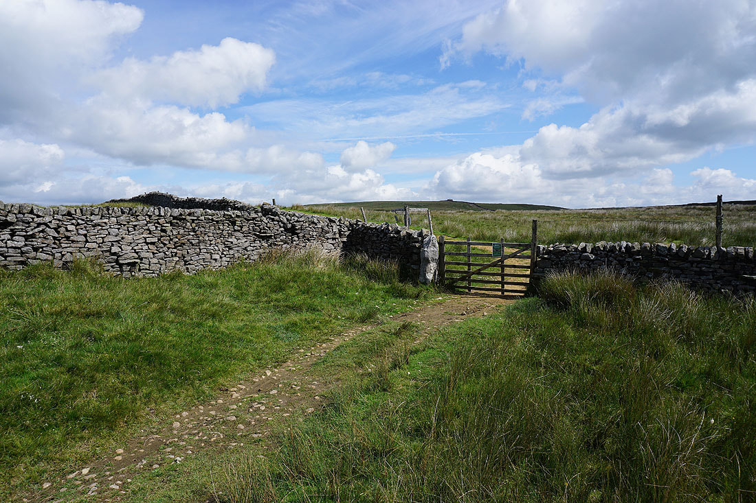
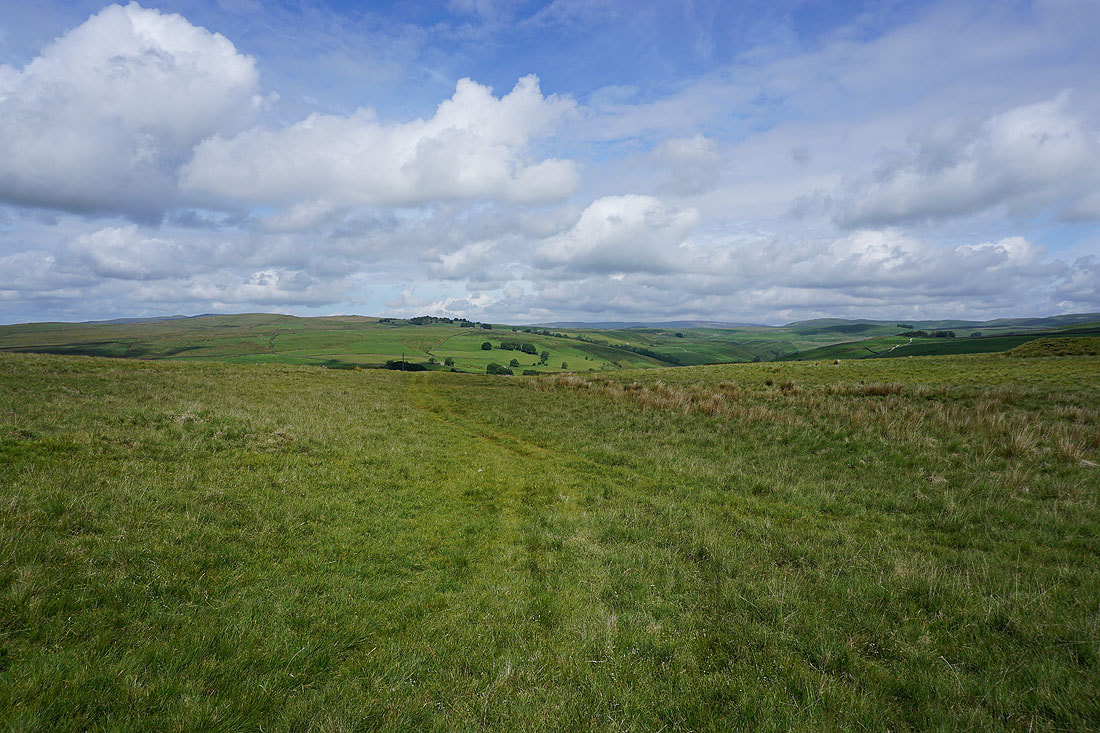
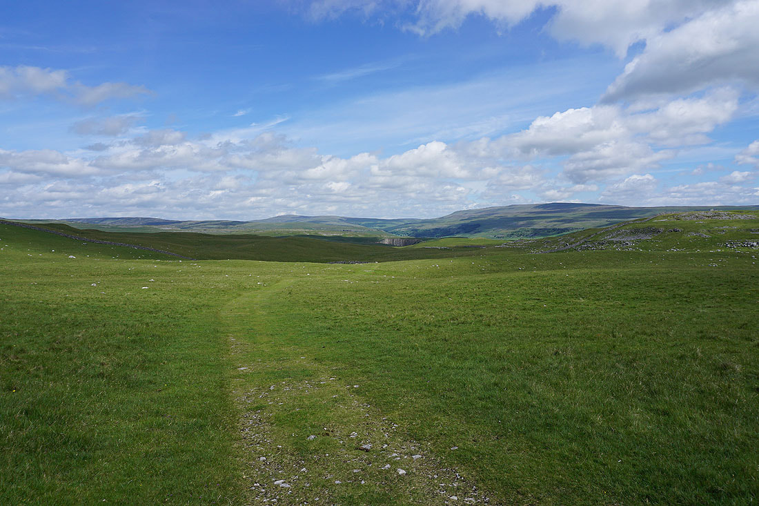
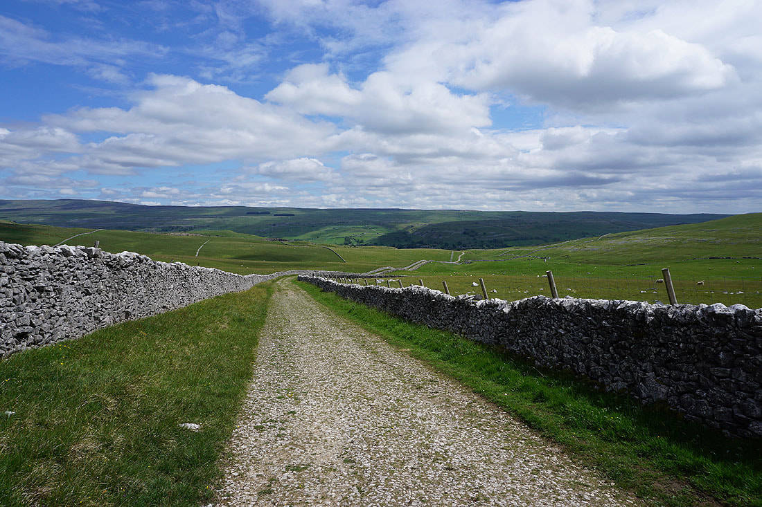
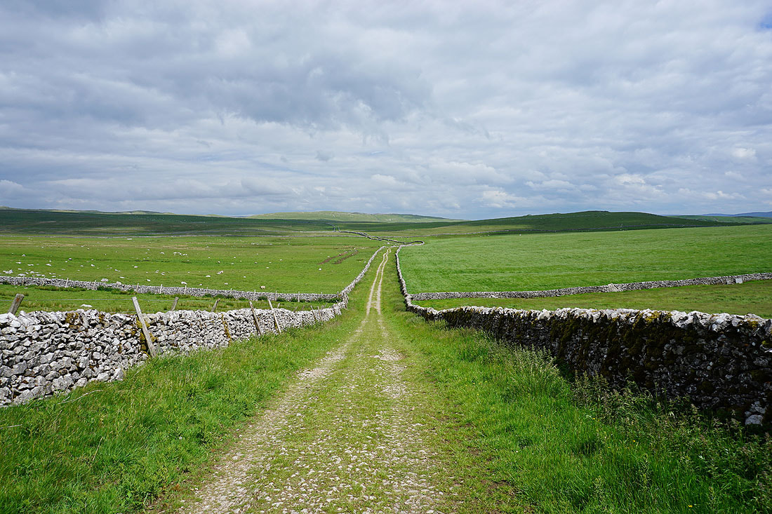
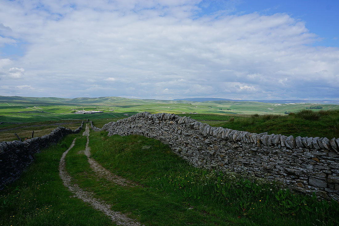
Through the gate and onto Threshfield Moor
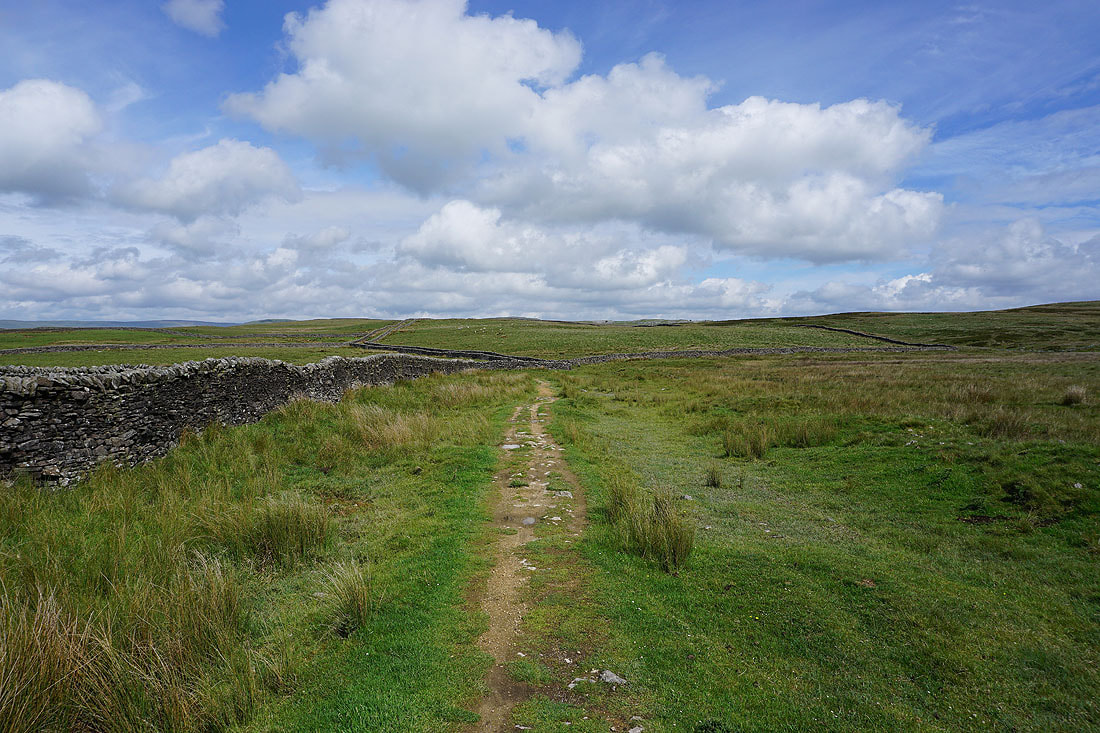
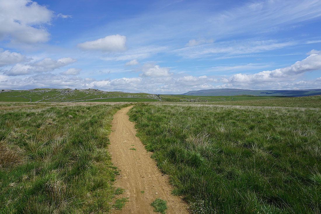
On the bridleway north across Threshfield Moor
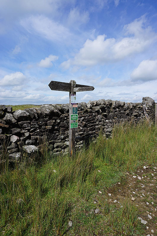
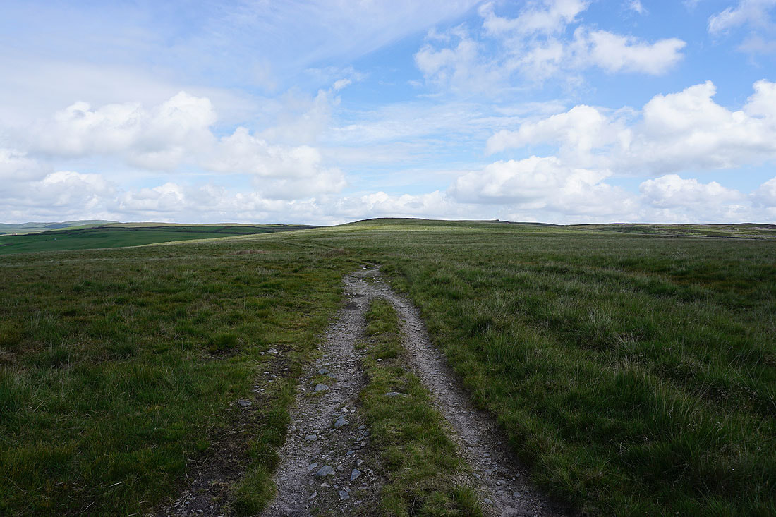
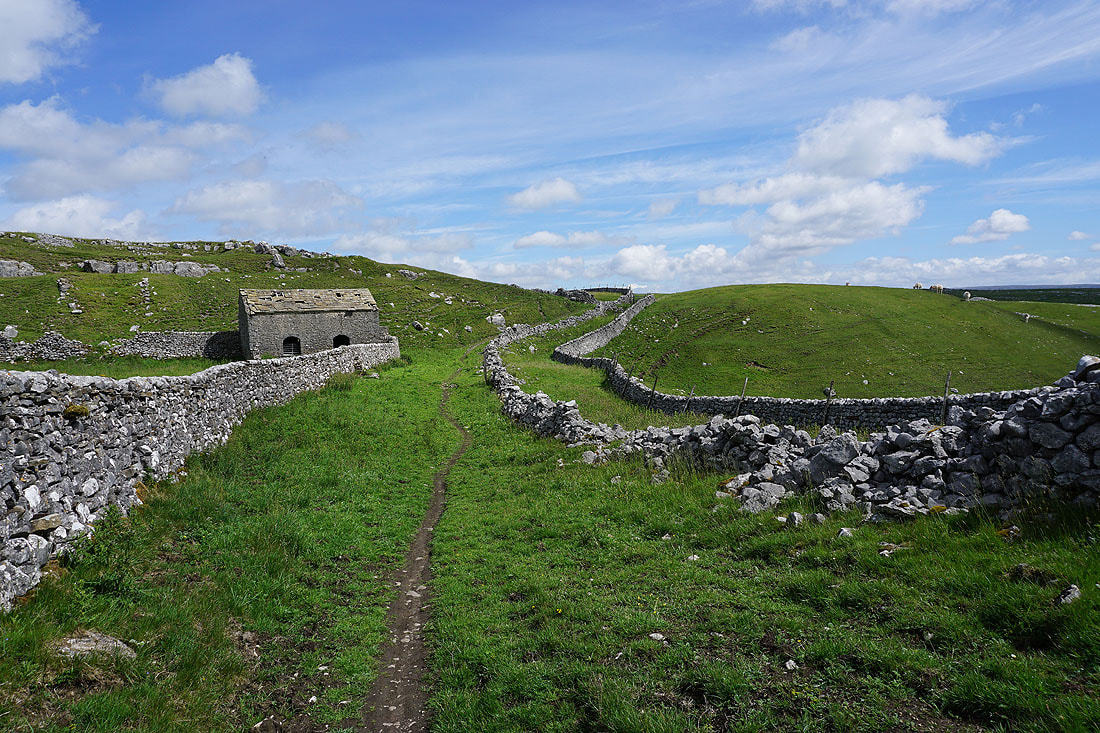
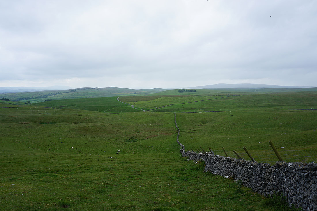
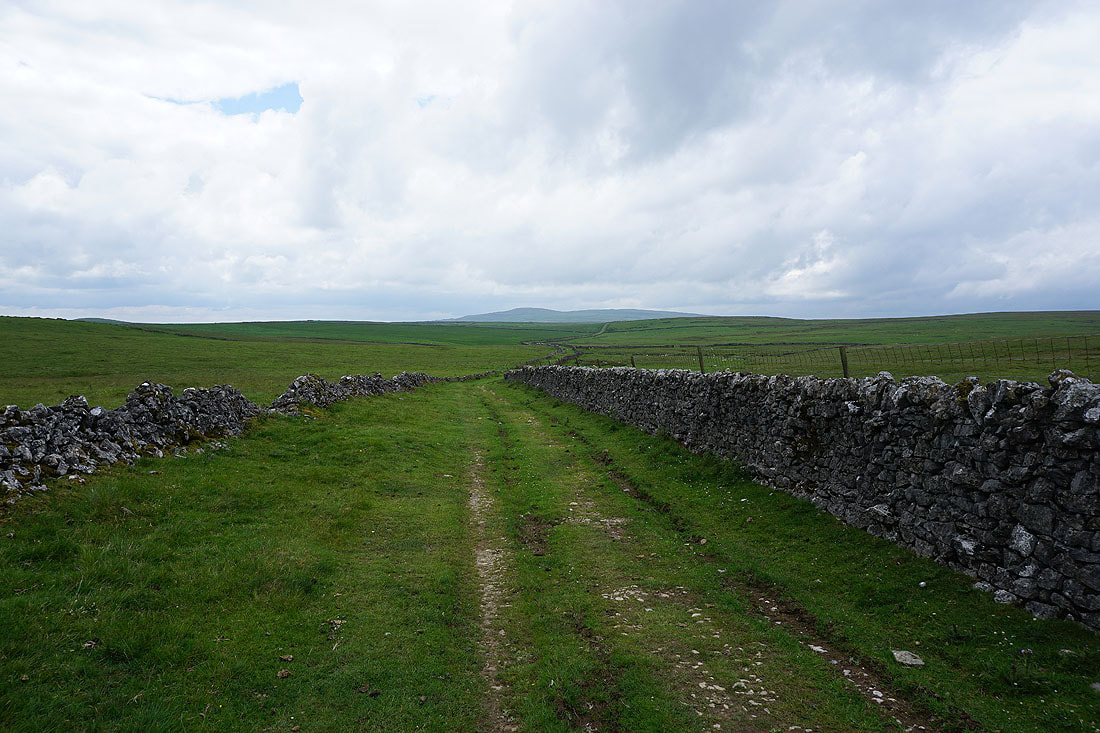
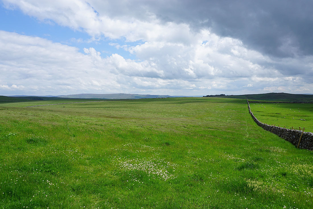
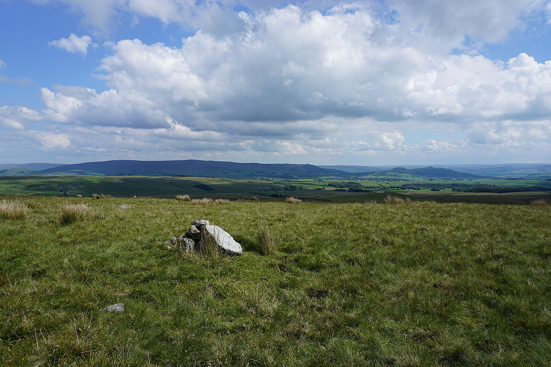
There are several junctions of paths and bridleways up here
Looking back to Pendle Hill in the distance
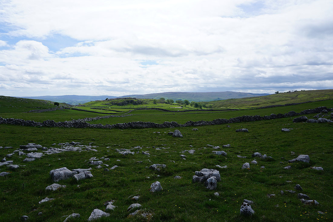
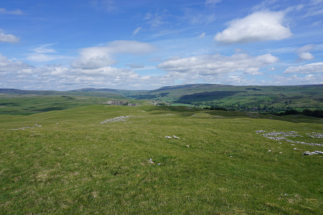
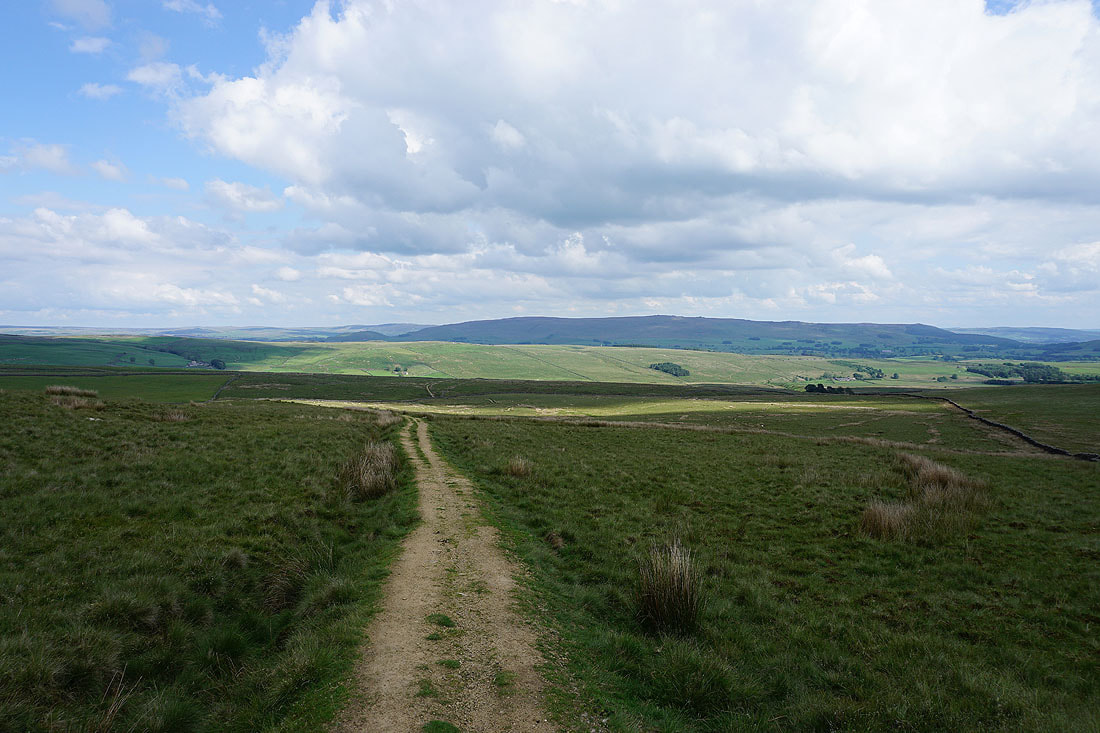
Malham Moor ahead with Great Whernside in the distance on the right
Passing Height Laithe
Looking east to Height House and Cow Close Wood, with Cracoe Fell in the distance
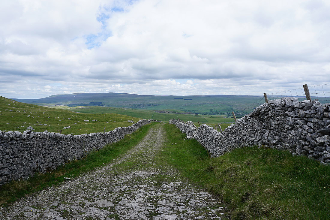
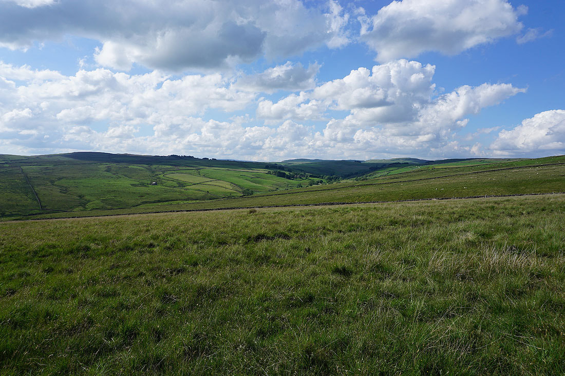
Having crossed Malham Moor Lane, on the bridleway north across Malham Moor, with Buckden Pike and Great Whernside in the distance
I've left the bridleway for a limestone hill to its east, hoping for a good view of Wharfedale. Looking up Wharfedale to Buckden Pike and Great Whernside.
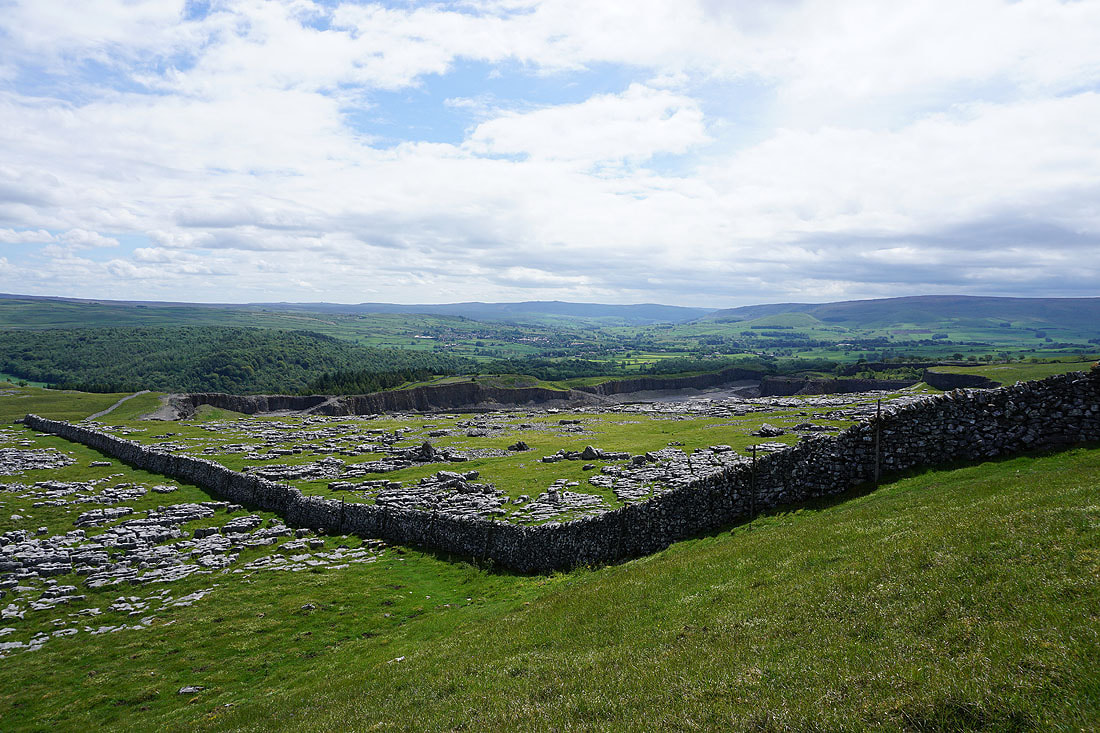
and looking down dale to Grass Wood, Grassington, and Barden Fell. The big hole in the ground is Threshfield Quarry.
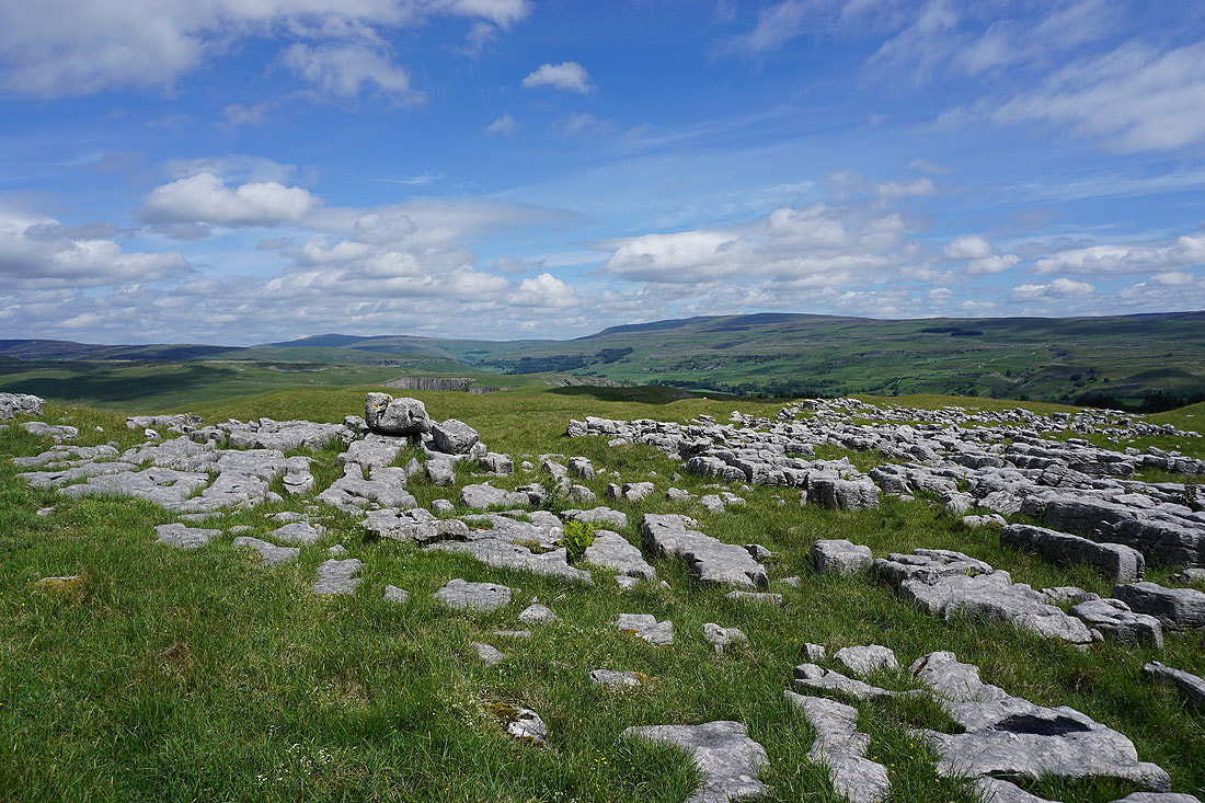
Can't resist taking a photo across a bit of limestone pavement
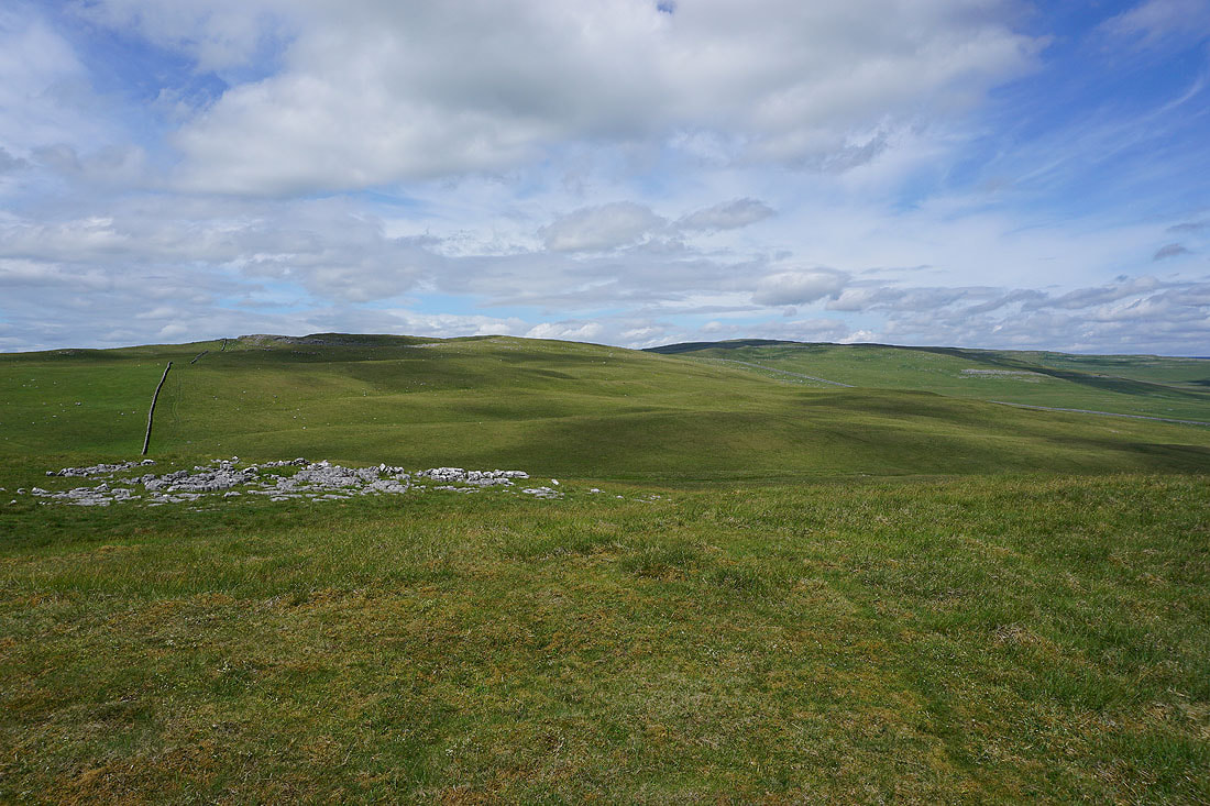
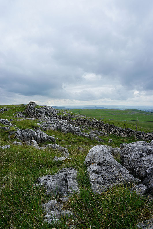
Holgates Kilnsey Moor and Kilnsey Moor
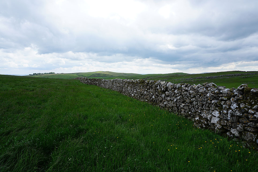
Back on the bridleway and I follow it north towards Kilnsey and Mastiles Lane..
Onto Mastiles Lane and I follow it west up onto Holgates Kilnsey Moor
Looking back down Mastiles Lane to Grassington Moor and Great Whernside in the distance..
Heading west along Mastiles Lane to Mastiles Gate
Looking back east along Mastiles Lane as I reach Mastiles Gate
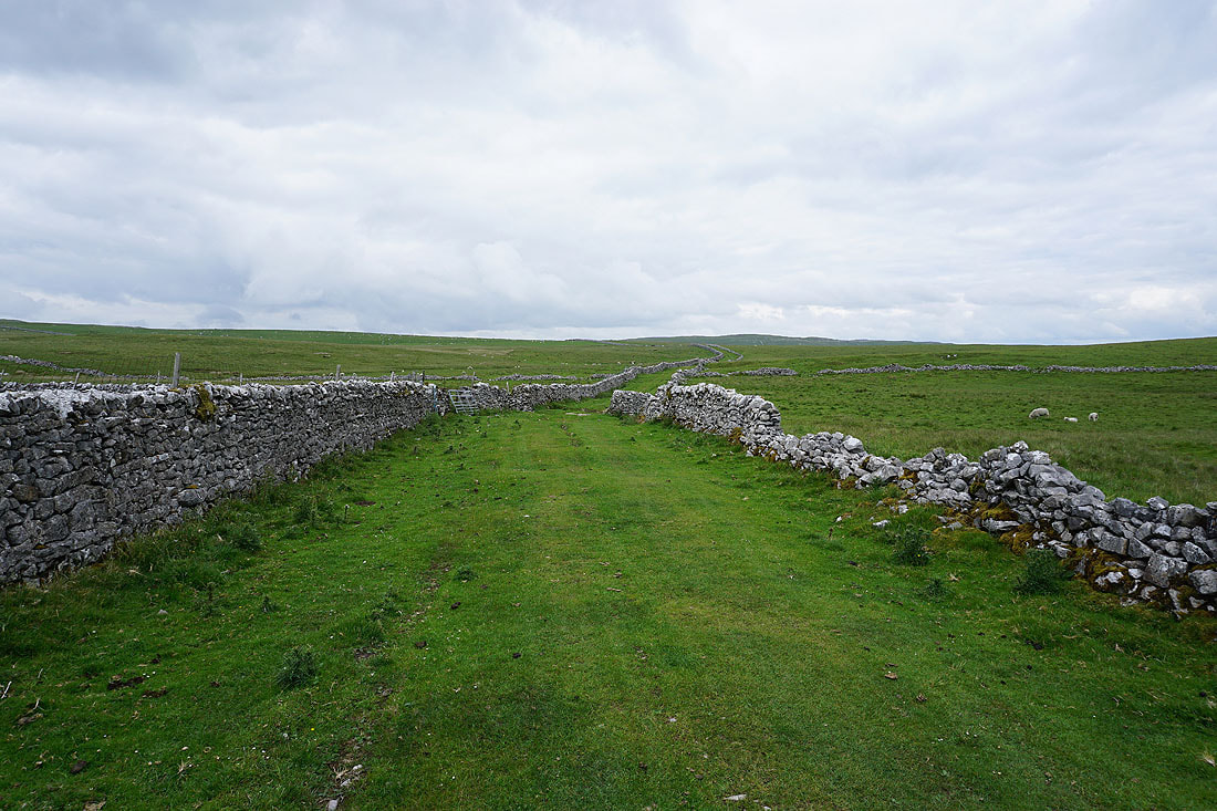
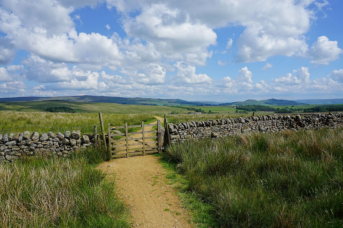
I leave Mastiles Lane and follow the bridleway to Malham Moor Lane
Weets Top and Kirkby Fell in the distance as I head up onto Holgates Kilnsey Moor. The sunshine has disappeared and it looks like there might be a shower or two on their way.
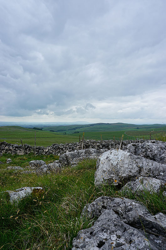
Some exposed limestone provides a foreground for taking photos...
|
|
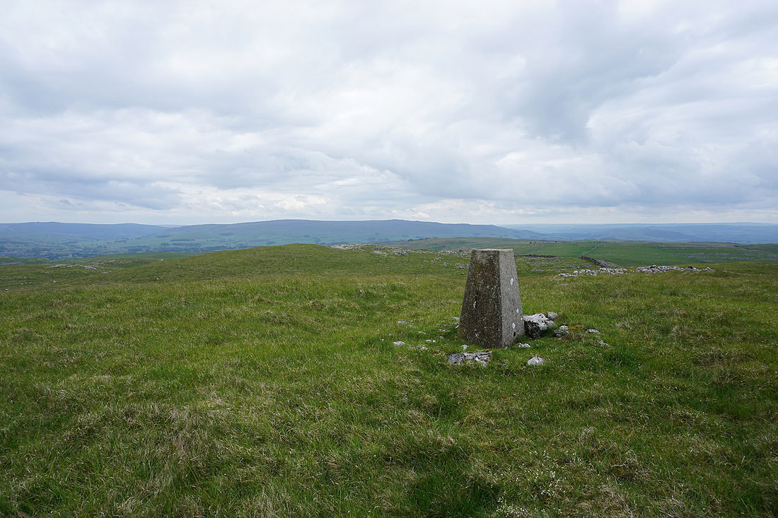
Buckden Pike and Great Whernside from the trig point on Holgates Kilnsey Moor
Cracoe Fell to the south
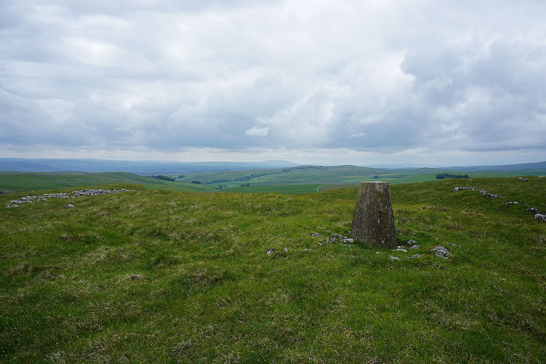
Pendle Hill in the distance, with Weets Top closer to its right
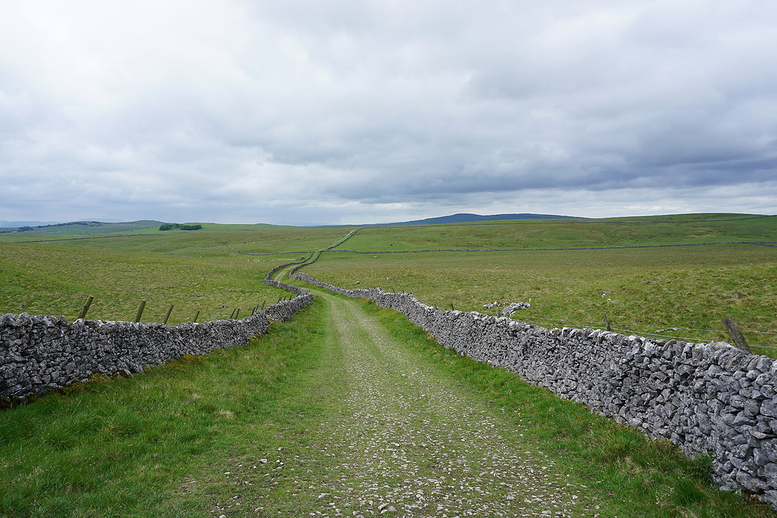
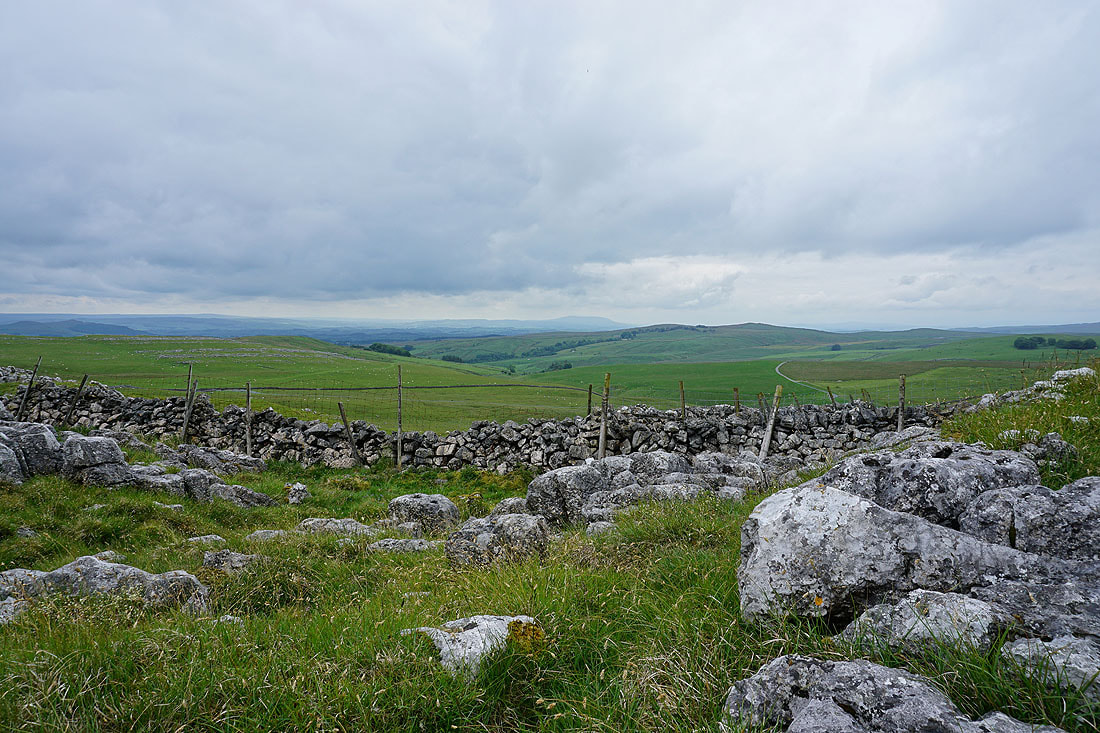
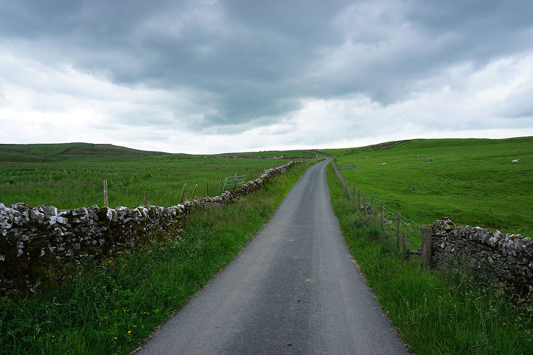
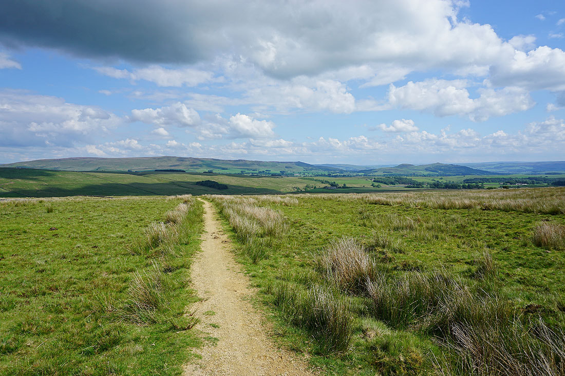
Down from Holgates Kilnsey Moor, and on the bridleway from Malham Moor Lane west to Mastiles Lane
Heading west along Mastiles Lane with Kirkby Fell in the distance
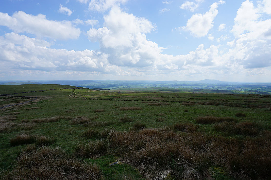
Mastiles Lane views, and after a couple of hours of grey skies it's brightening up...
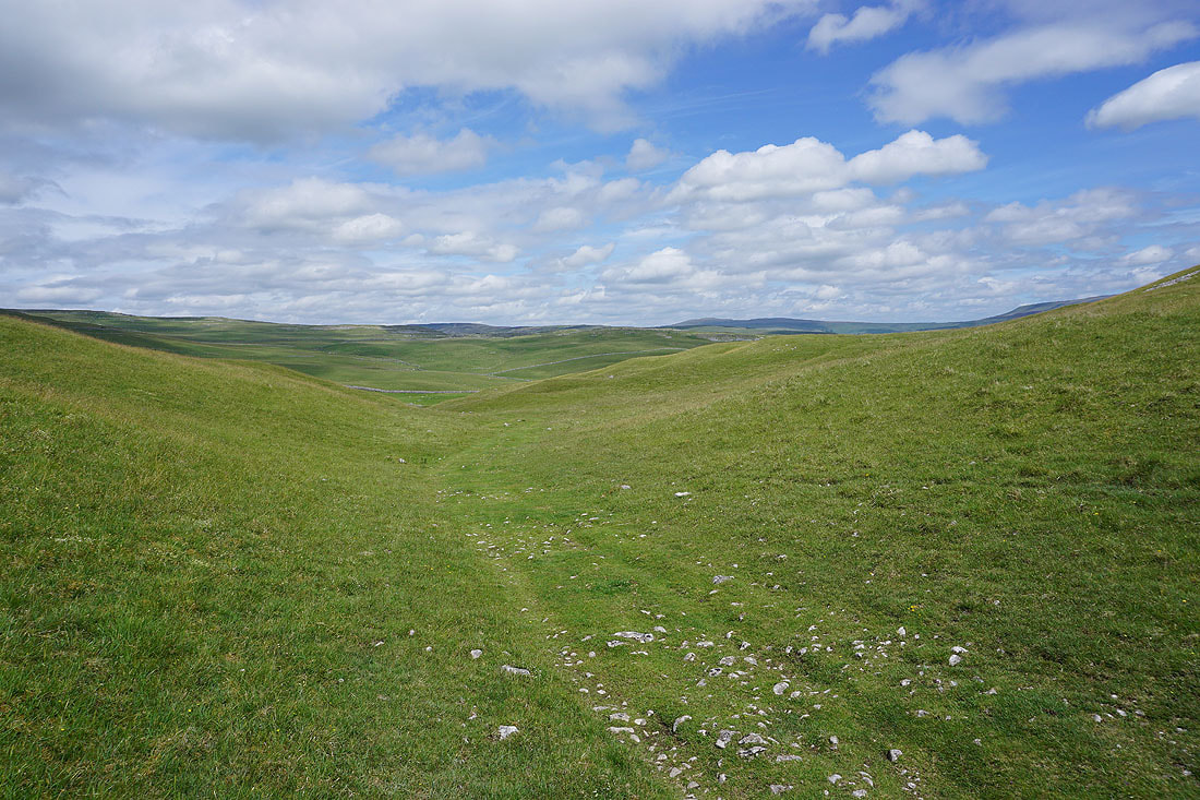
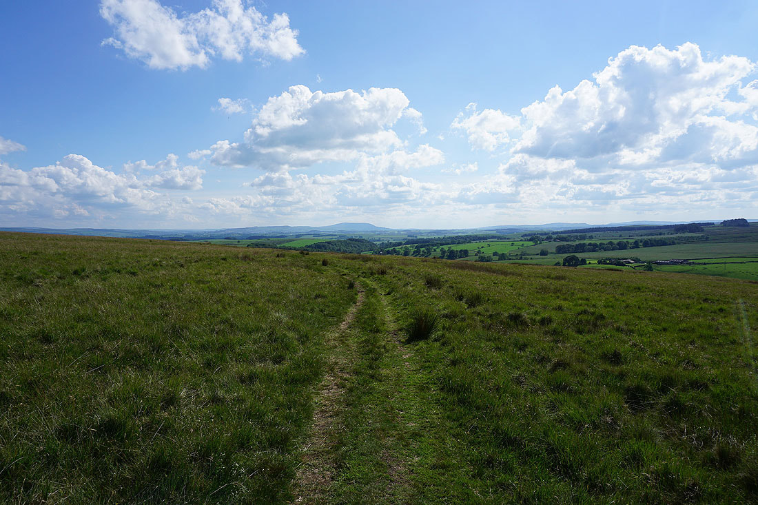
Cracoe Fell in the distance as I leave Mastiles Lane for a footpath to Smearbottoms Lane

Looking back with the moorland of Clapham High Mark and Proctor High Mark in the distance
Ahead of me there's a bit of sunshine on Weets Top
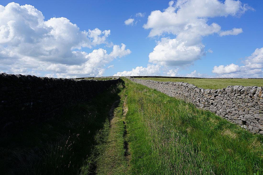
Heading south along Smearbottoms Lane
There are still some dark clouds around as I look back to Middle Laithe Farm
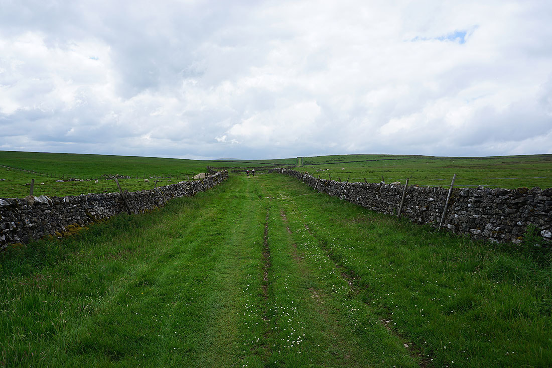
On the bridleway up to Weets Top
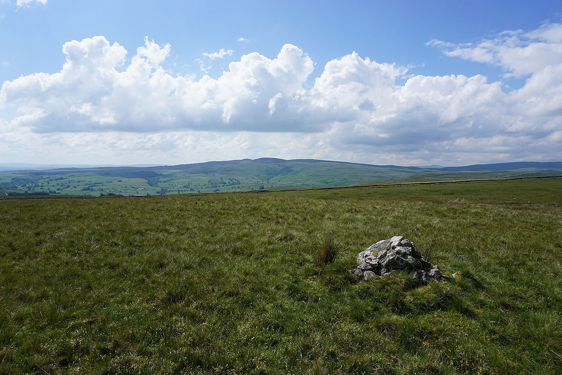
Looking back with sunshine on Middle Laithe Farm, and Clapham High Mark, Proctor High Mark and Great Whernside in the distance
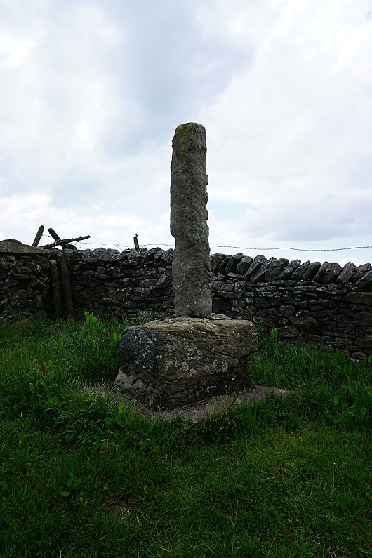
The remains of Weets Cross
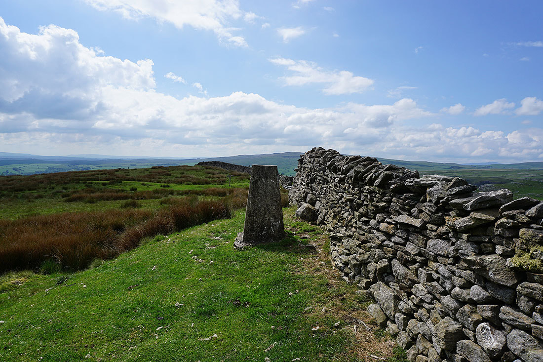
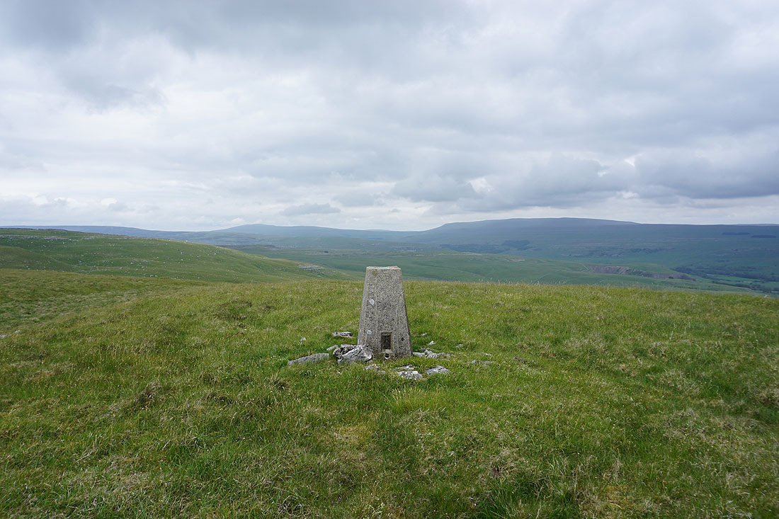
At the trig point on Weets Top
If I look over the summit wall I have a view to the north of Clapham High Mark, Proctor High Mark, and Great Whernside
The Bronte moors and Pendle Hill in the distance to the southwest
Looking over that wall again and I can see the entrance to Gordale Scar, along with Kirkby Fell, the top of Ingleborough, and Fountains Fell
Before I move on, a last look at the view to the north from the top of the bridleway up to Weets Top
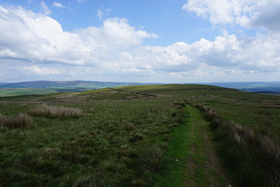
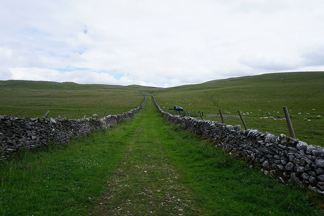
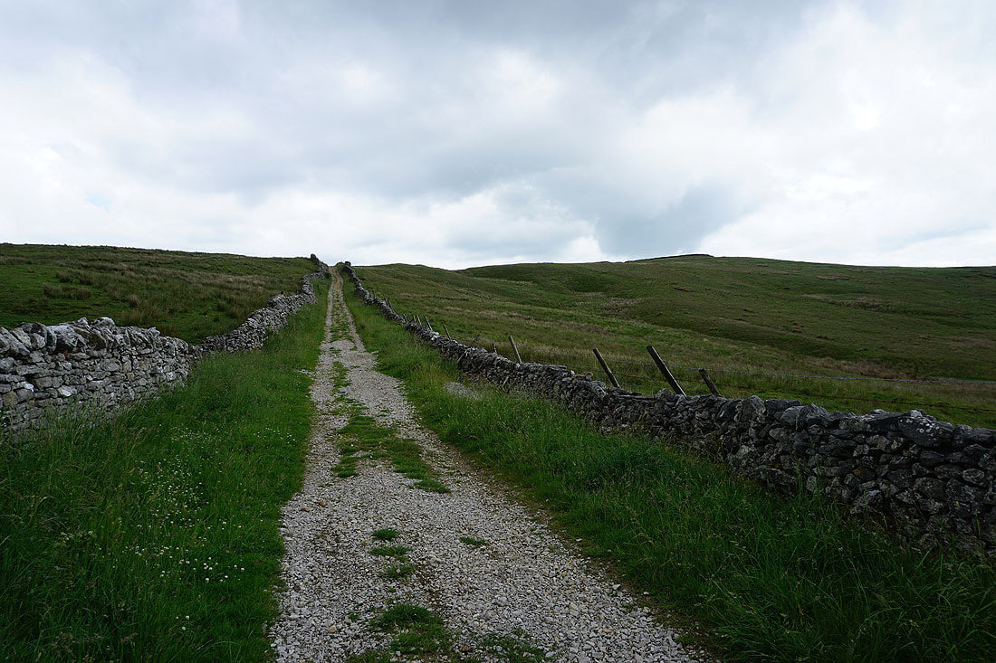
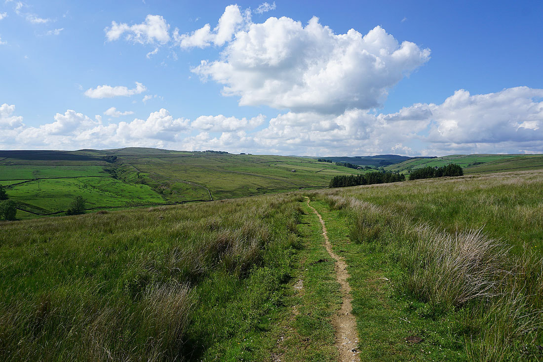
On the bridleway to Hetton Common Head
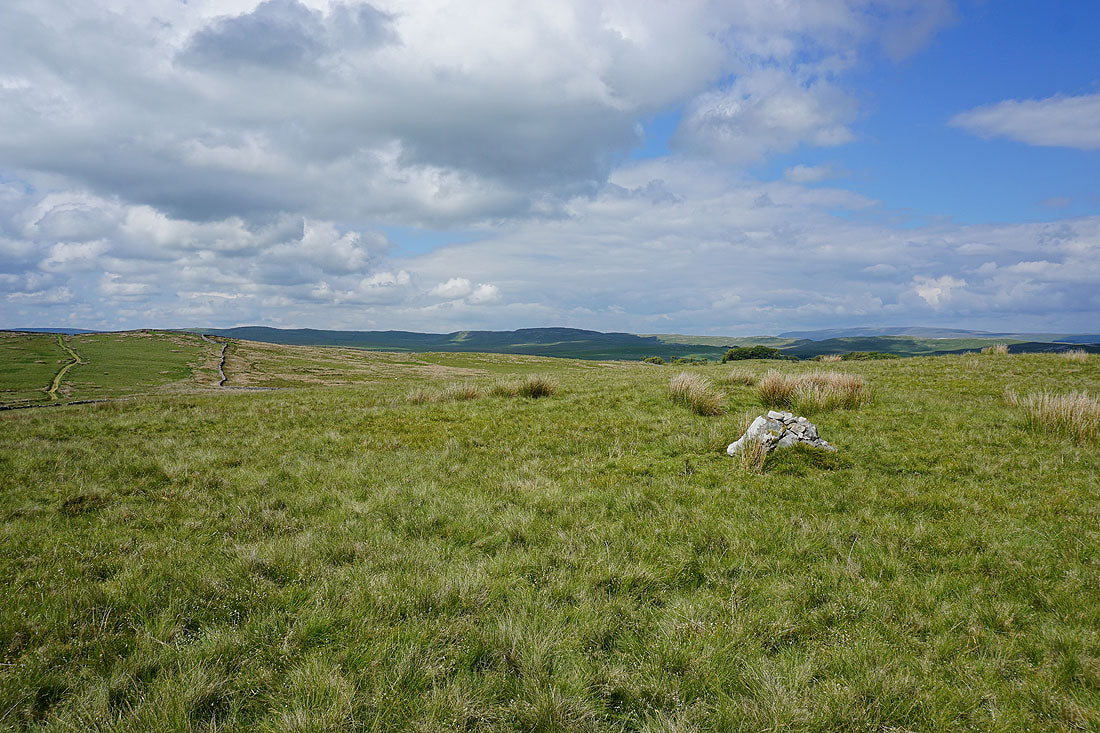
On Hetton Common Head with Proctor High Mark and Great Whernside in the distance
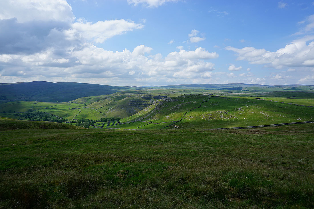
Looking across Malhamdale to Kirkby Fell
Cracoe Fell and Sharp Haw to the southeast
Following the bridleway down Hetton Common...
Crossing Hetton Common Beck
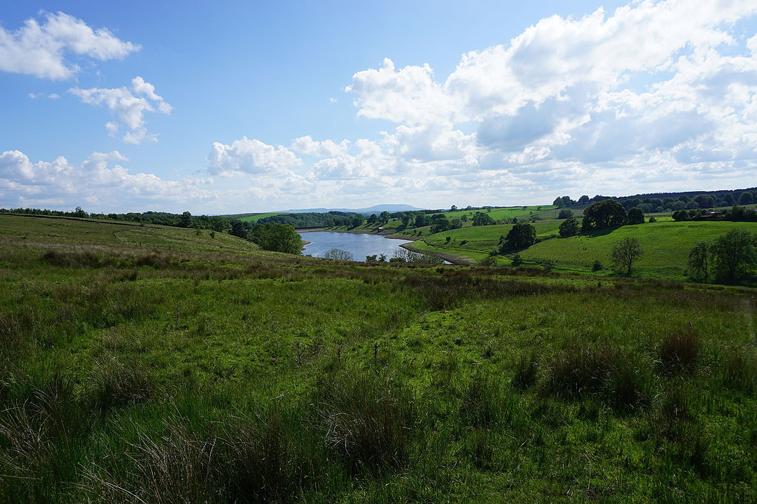
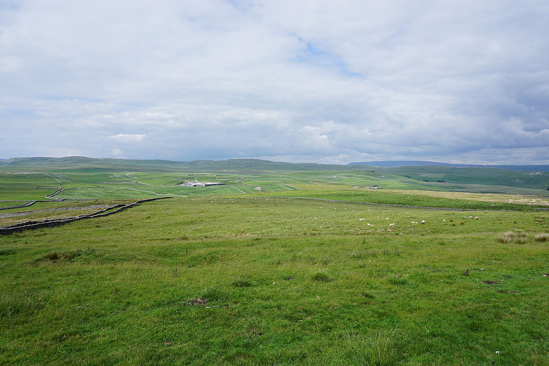
Winterburn Reservoir
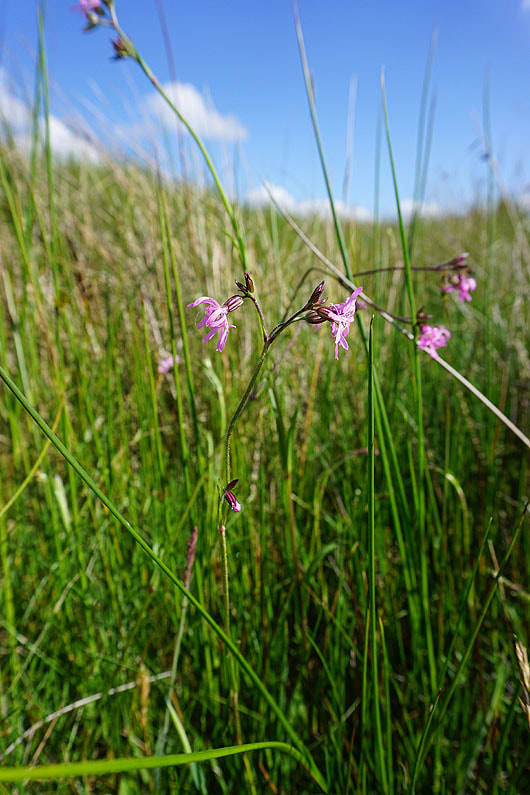
Ragged Robin
Looking back to Hetton Common
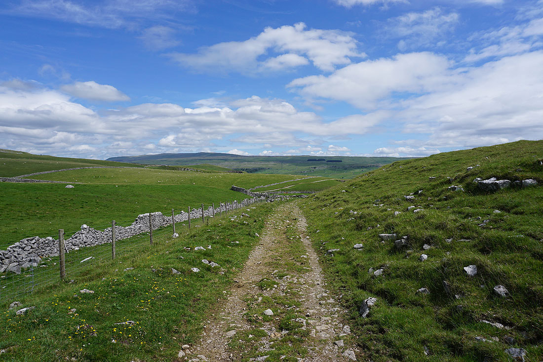
On the bridleway of Moor Lane up to Boss Moor Lane
Hetton Common and the valley of Hetton Common Beck
Looking back with Pendle Hill in the distance
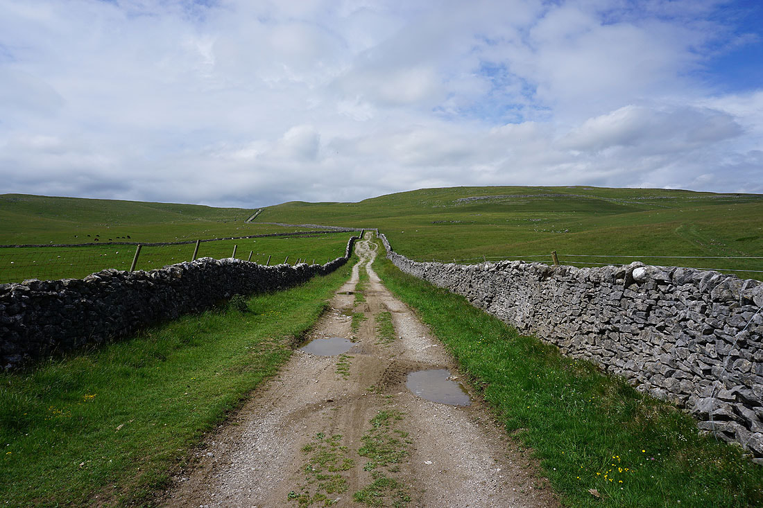
The gate onto Boss Moor Lane, and the end of my walk is in sight