20th March 2022 - Boulsworth Hill
Walk Details
Distance walked: 9.6 miles
Total ascent: 1748 ft
OS map used: OL21 - South Pennines
Time taken: 6 hrs
Route description: Lower Coldwell Reservoir-Pendle Way-Pennine Bridleway-Thursden-Pennine Bridleway-Rieve Edge-Pennine Bridleway-Extwistle Moor-Rapes Clough-Burnley Way-Pennine Bridleway-Cludders Slack-Widdop Reservoir-Pennine Bridleway-Widdop Lodge-The Scout-Grey Stone Hill-Dove Stones-Boulsworth Hill-Pennine Bridleway-Pendle Way-Lower Coldwell Reservoir
After yesterday's long drive for a walk from Dent, I've stayed close to home today for a walk up Boulsworth Hill. The route I decided on was a slightly shorter version of one that I've done a few times now, starting from by the Coldwell Reservoirs above Trawden, and taking in the moorland to the south of Boulsworth Hill and the summit of the hill itself. To trim a couple of miles off it I took a couple of paths that I hadn't walked before, crossing Extwistle Moor from the Pennine Bridleway and the Burnley Way above Widdop Reservoir. I think that this has to be one of my favourite walks in the South Pennines. Widdop Reservoir, set in a bowl in the hills and surrounded by gritstone crags, has to be one of the more dramatic locations that can be visited in the area. It was another windy day, though not as windy as yesterday, and it gradually eased during the afternoon so that it was a strong breeze by the time I was on the top of Boulsworth Hill, and there were lots of sunny spells and warm spring sunshine for enjoying the moorland views.
After parking on the roadside by Lower Coldwell Reservoir I took the trail of the Pendle Way and followed it east until it met the Pennine Bridleway. I then turned right and followed the Pennine Bridleway south until I reached the road down into the Thursden Valley, which I took down to a left hand bend where the Pennine Bridleway then went down through woodland to the road at the bottom of the Thursden Valley. After turning left I walked up the road to a junction where the Pennine Bridleway leaves as a track on the right, which I took (after a visit to Rieve Edge) and followed south onto Extwistle Moor until I reached the footpath signposted for Rapes Clough. I followed this east across Extwistle Moor and down to the road to Widdop Reservoir. After a brief walk down the road I took the Burnley Way on the right and followed it across the hillside above Widdop Reservoir until it joined the Pennine Bridleway and the track of Gorple Gate, where I stopped for lunch. I left the track here for a thin path along the top of the gritstone edge of Cludders Slack, before heading down to join the track again to cross the dam of Widdop Reservoir to reach the Widdop Road. After a short walk up the road to Widdop Lodge I left it for access land on the right and a path up to the southern end of the gritstone edge of The Scout. A path up the edge took me to the top of Grey Stone Hill. I then made my way across Widdop Moor to Dove Stones and from there up to the summit of Boulsworth Hill. From Boulsworth Hill I descended by the path past the Abbot Stone to the Pennine Bridleway below, where I turned left and followed it west across Will Moor until I reached the Pendle Way, which I took to reach the road by Lower Coldwell Reservoir and where I was parked.
Route map
© Crown copyright. All rights reserved. License number PU 100034184.
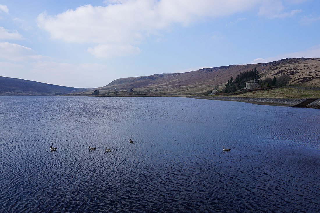
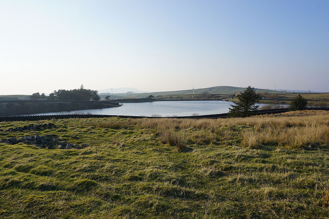
By Upper Coldwell Reservoir
Leaving Upper Coldwell Reservoir on the Pendle Way with Pendle Hill in the distance
Boulsworth Hill ahead
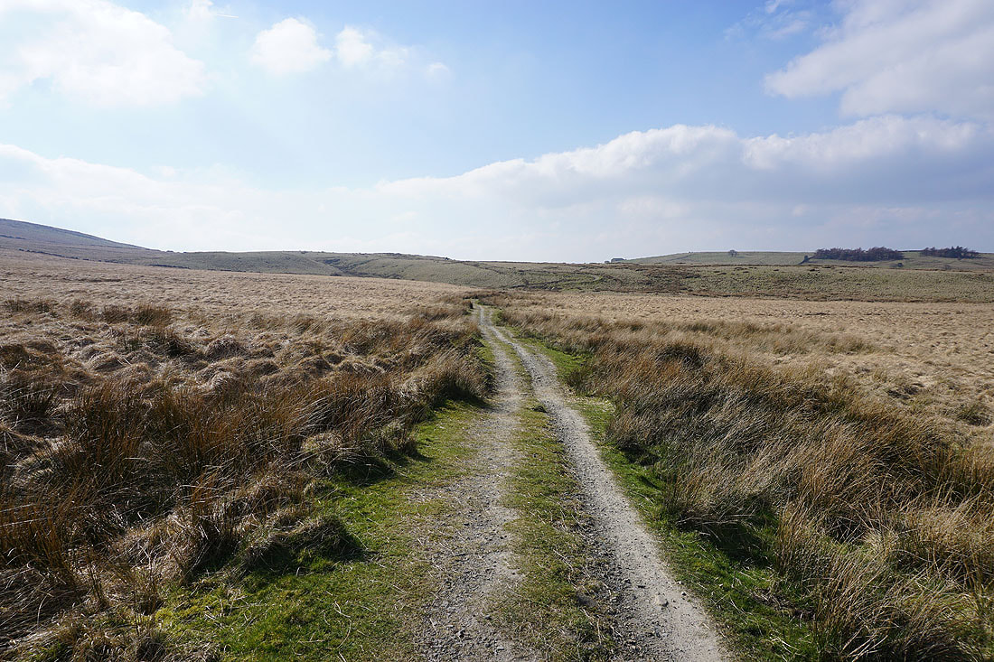
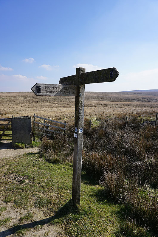
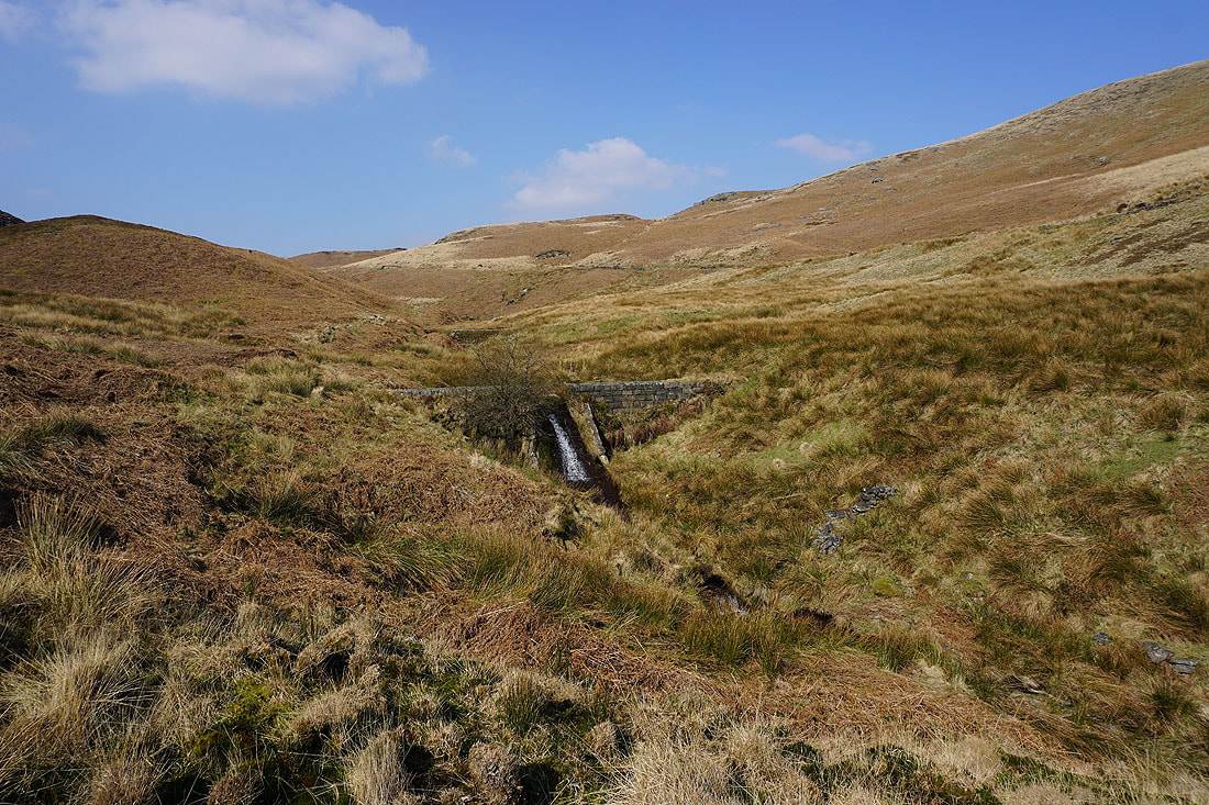
Onto the Pennine Bridleway to the Thursden Valley
Bright sunshine on the moors with Pendle Hill to the northwest
Looking back along the Pennine Bridleway
The Thursden Valley below as I climb the Pennine Bridleway
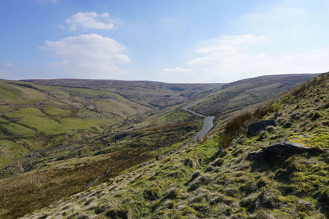
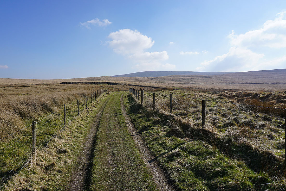
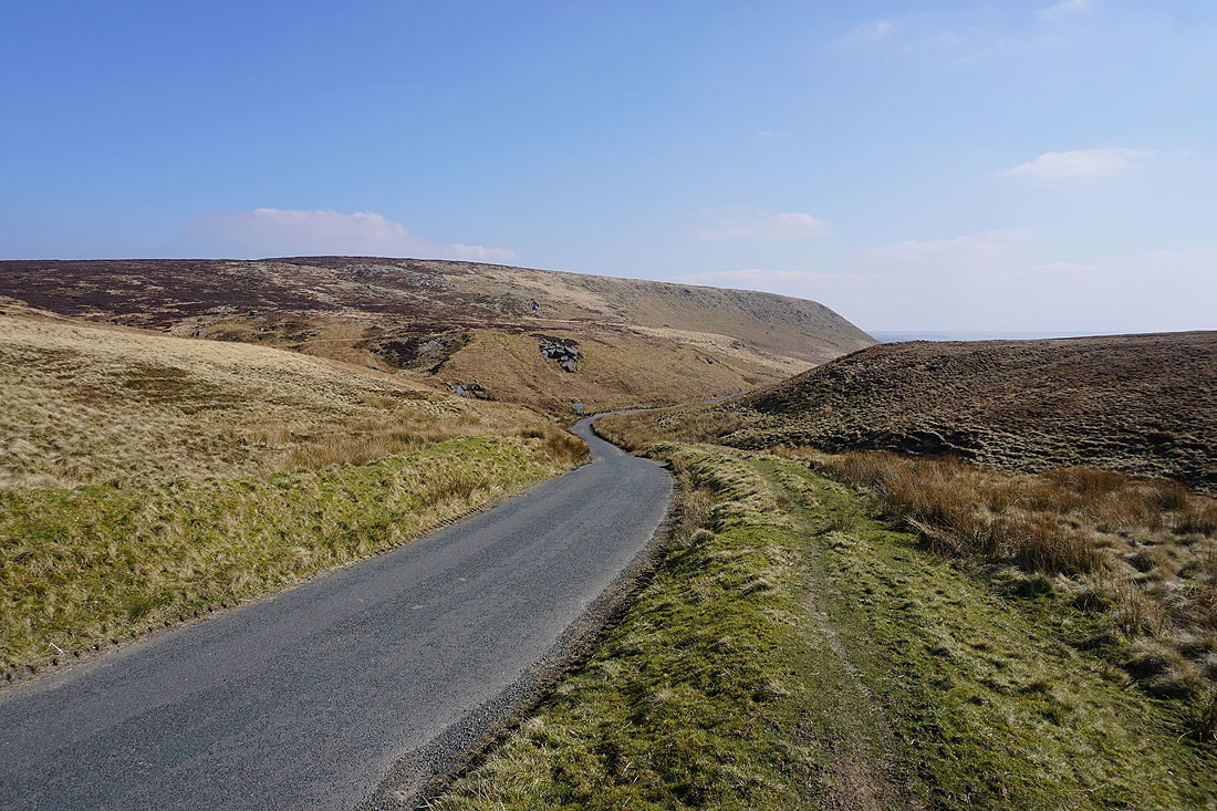
The road across the moors to Widdop and Heptonstall as I head up onto Rieve Edge
Pendle Hill and the Thursden Valley from Rieve Edge..
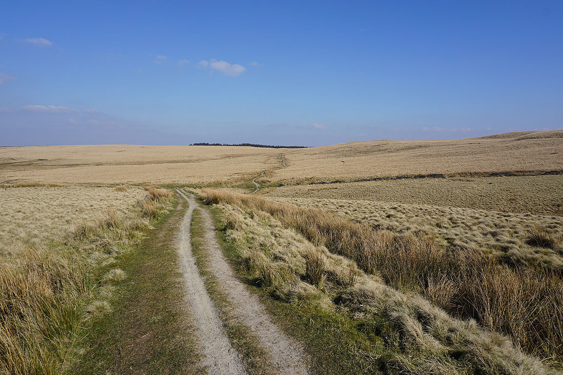
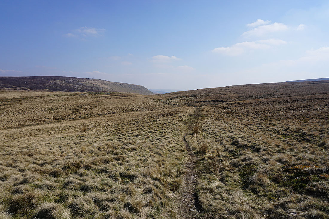
Back on the Pennine Bridleway, and looking back to Red Spa Moor and Boulsworth Hill
I leave the Pennine Bridleway and take the footpath signposted for Rapes Clough
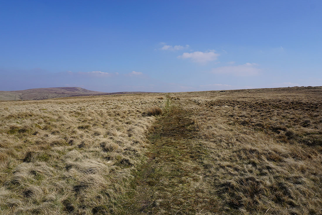
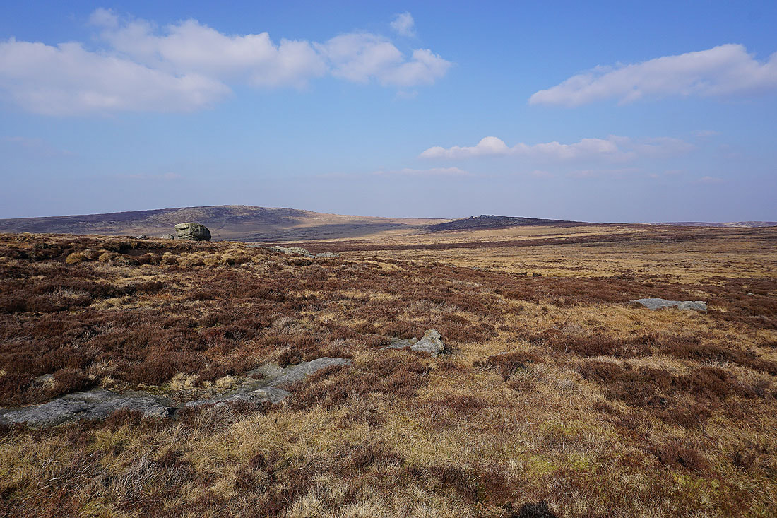
Crossing Extwistle Moor
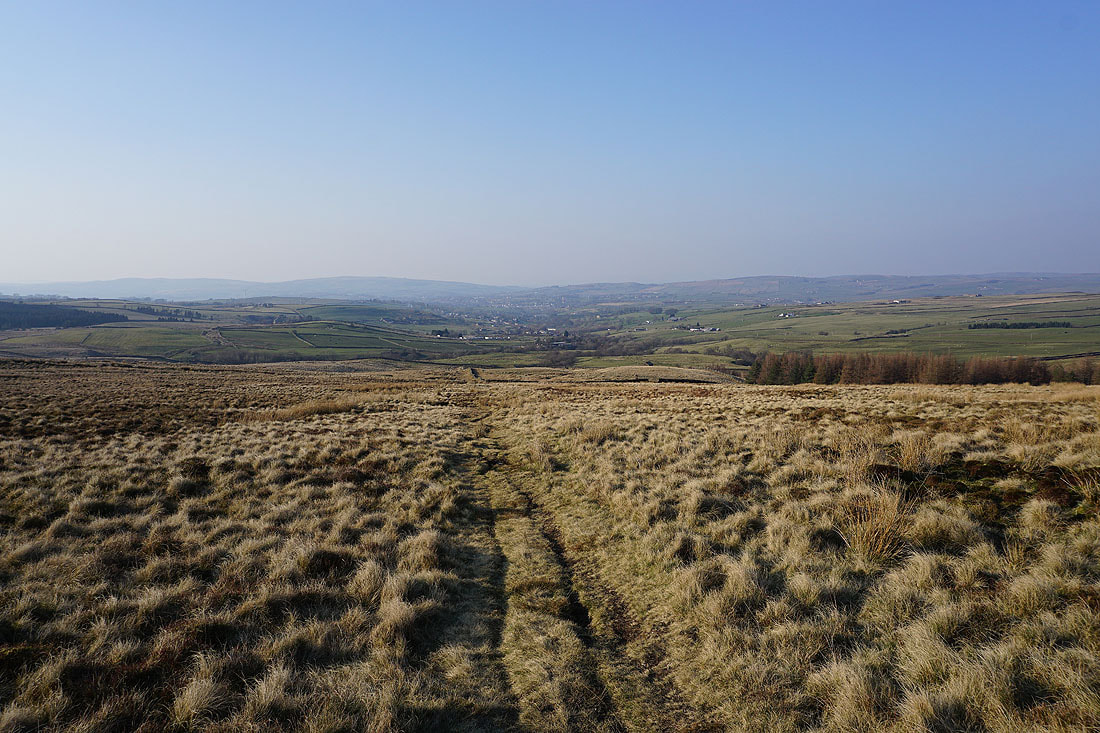
Pendle Hill from Extwistle Moor
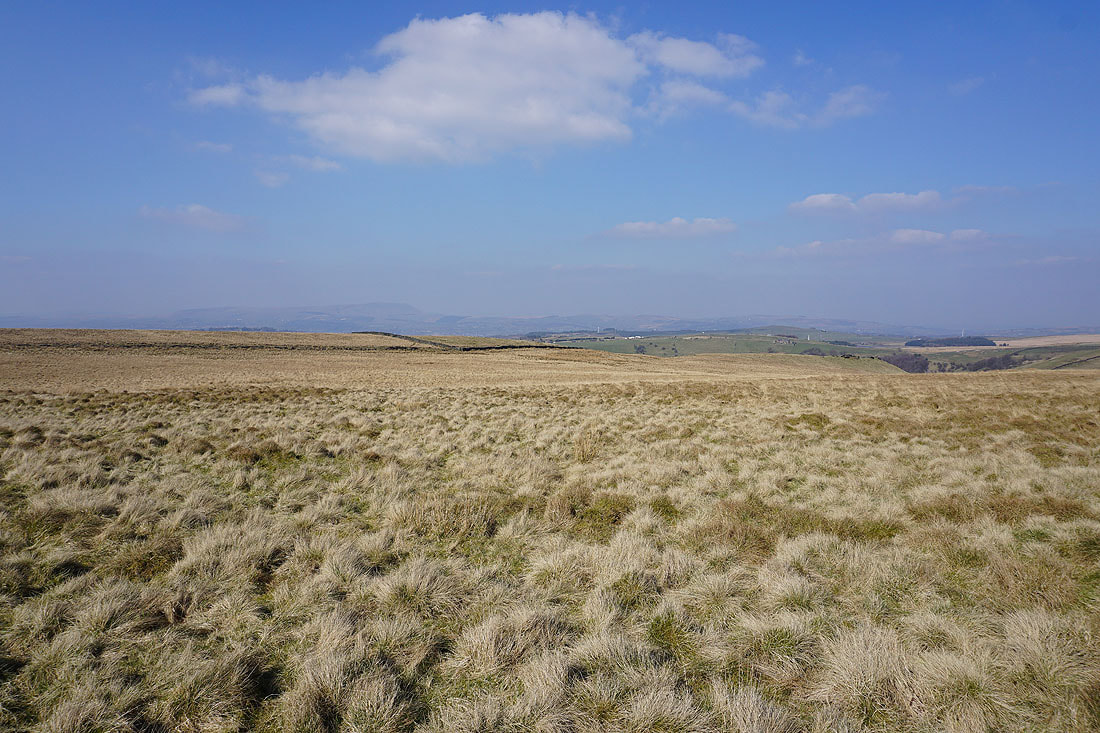
Looking back across Extwistle Moor
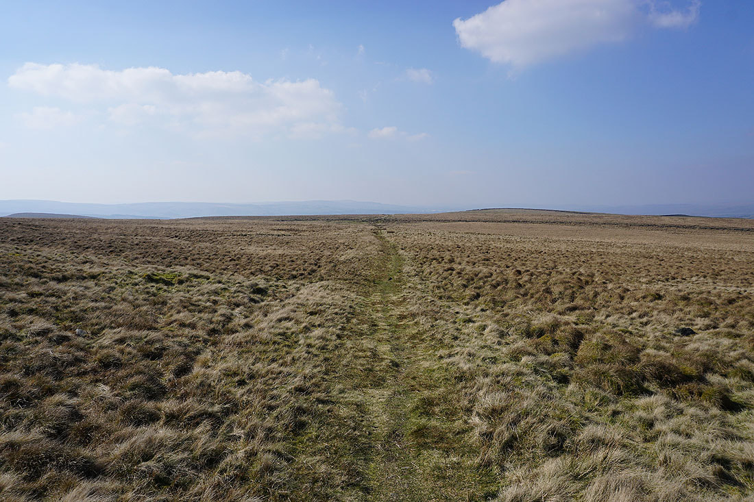
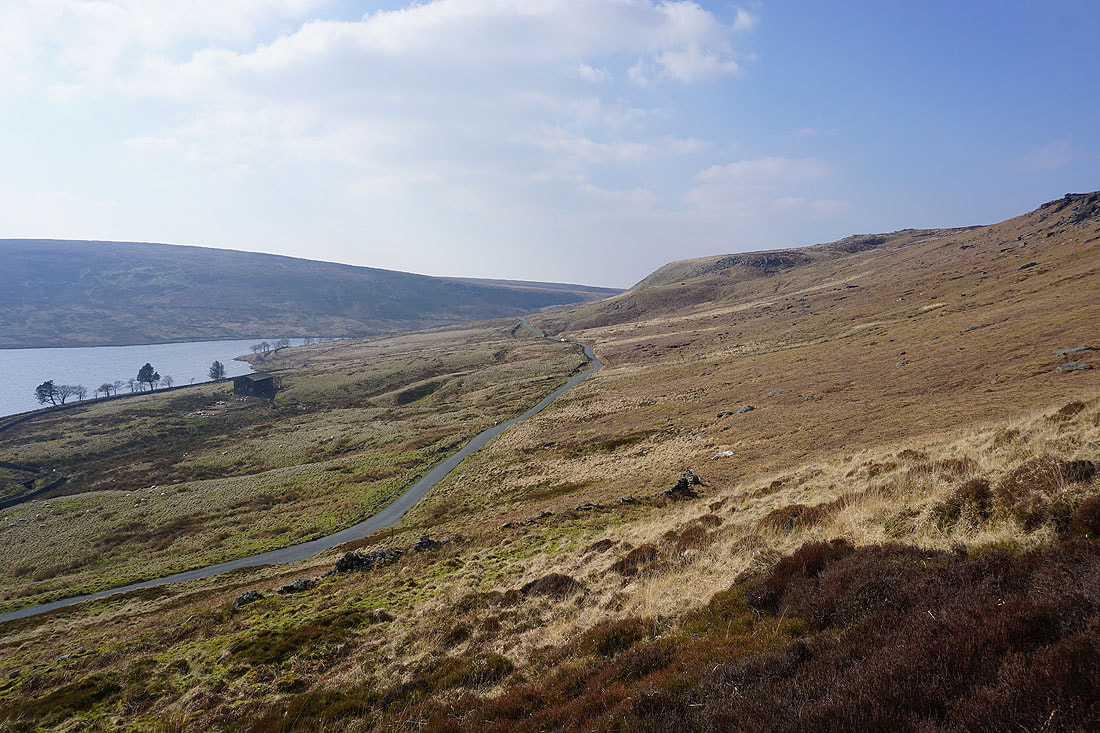
Grey Stone Hill ahead as the footpath approaches Rapes Clough and reaches the road down to Widdop Reservoir..
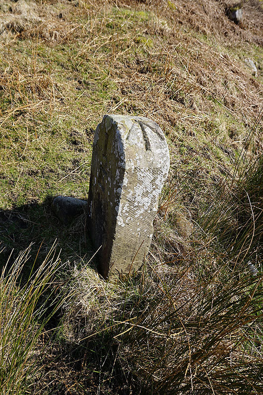
This boundary stone next to the road has an OS benchmark stud in its top, and marks the county boundary between Lancashire and West Yorkshire
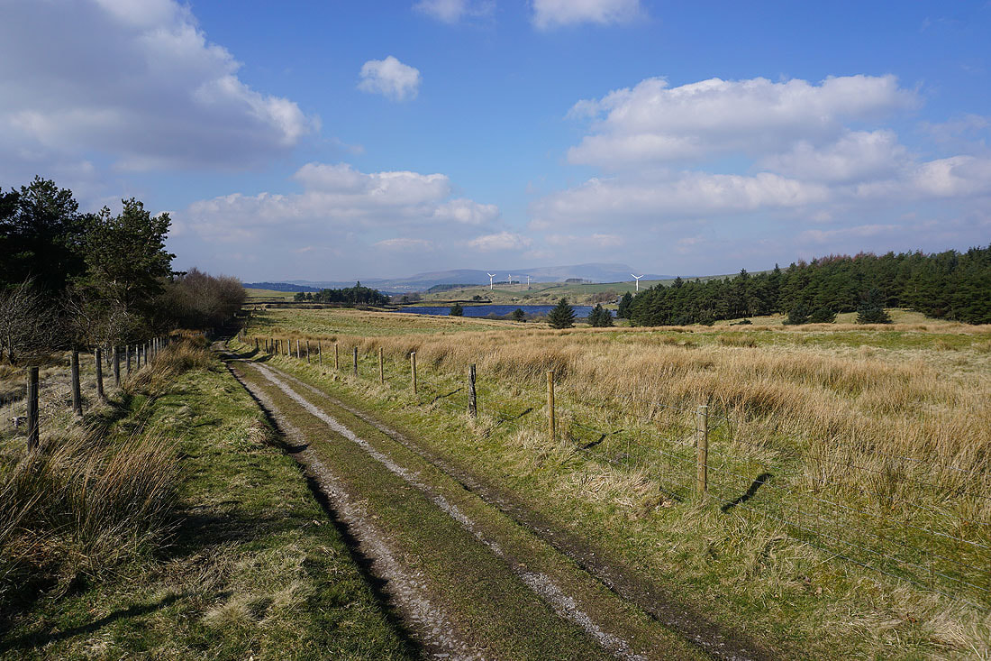
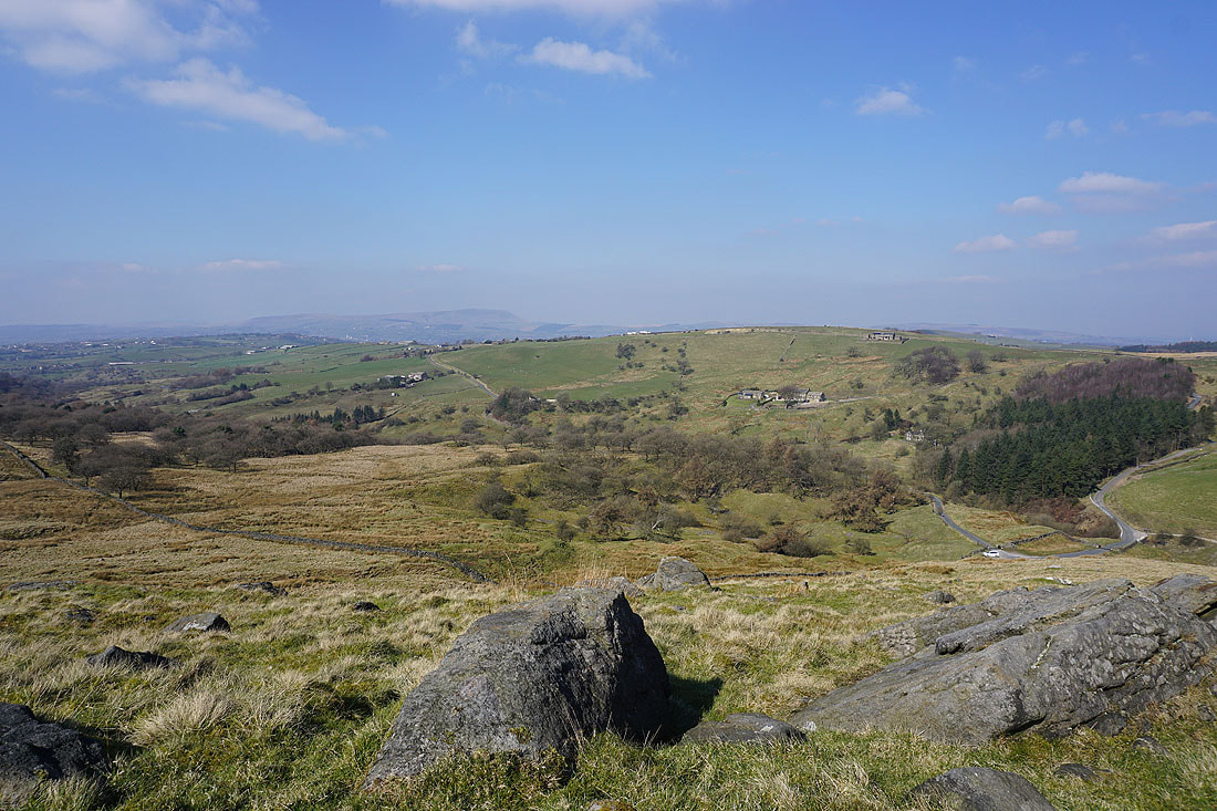
I soon leave the road and take the Burnley Way across the hillside above Widdop Reservoir
One of a couple of small dams on the beck above Widdop Reservoir
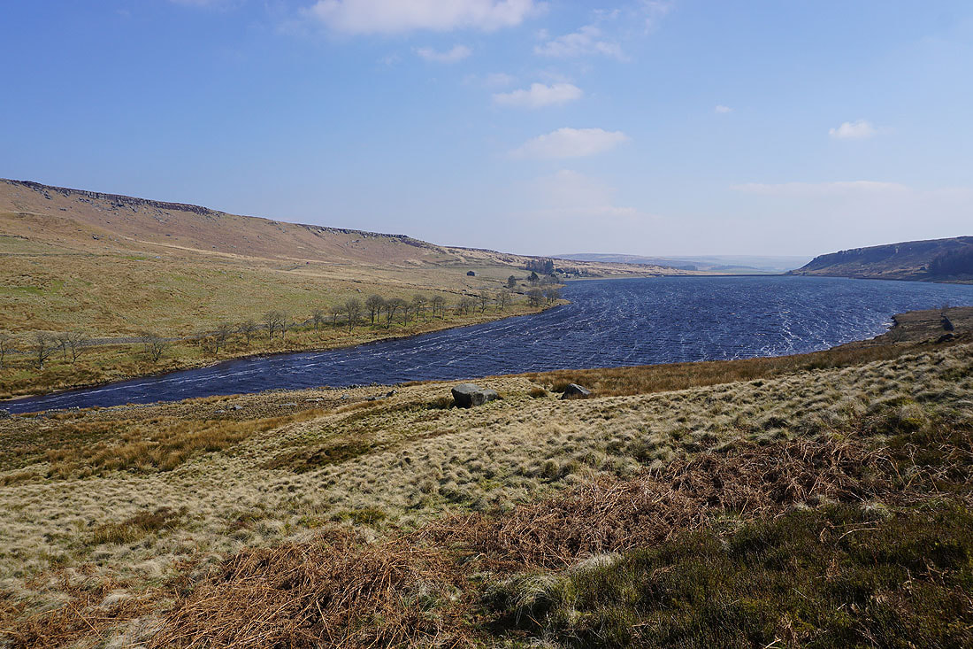
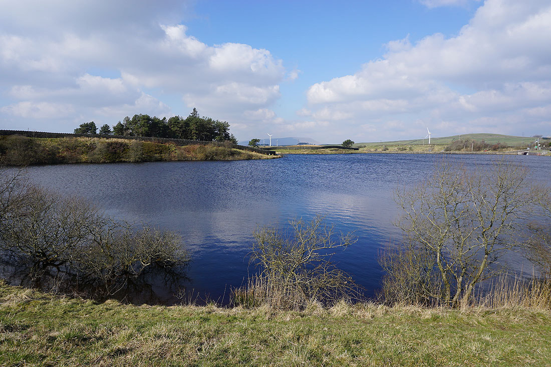
A windswept Widdop Reservoir with the gritstone edge of The Scout above..
Looking back along the Burnley Way as I reach the Pennine Bridleway
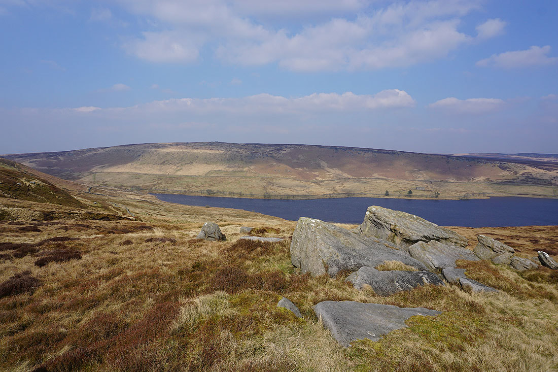
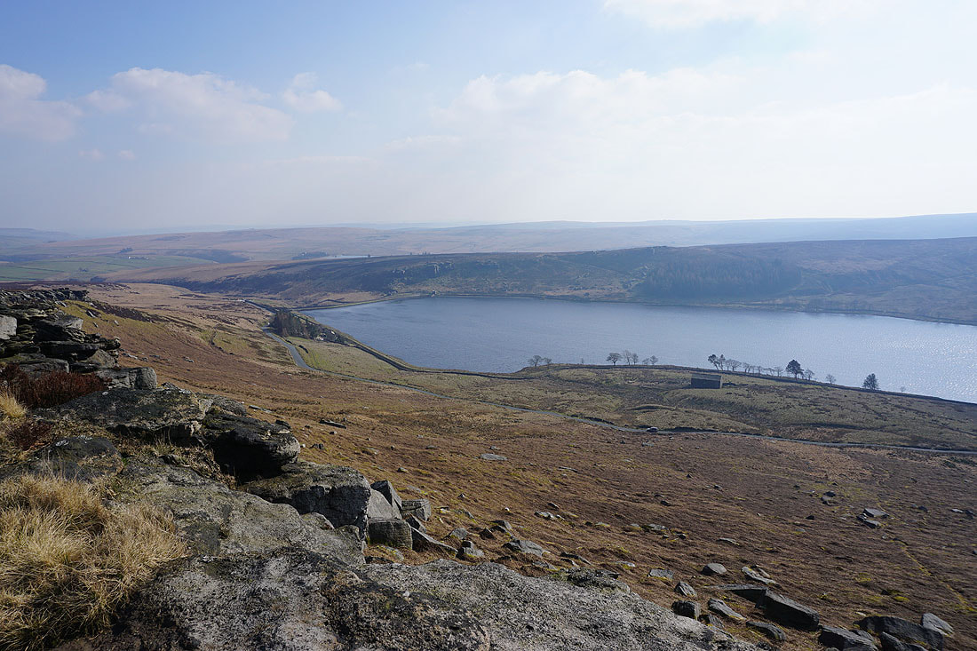
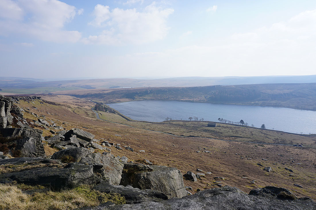
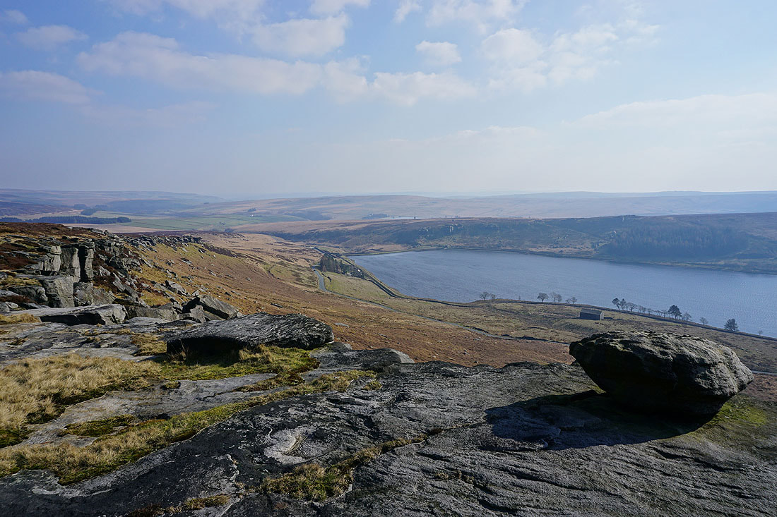
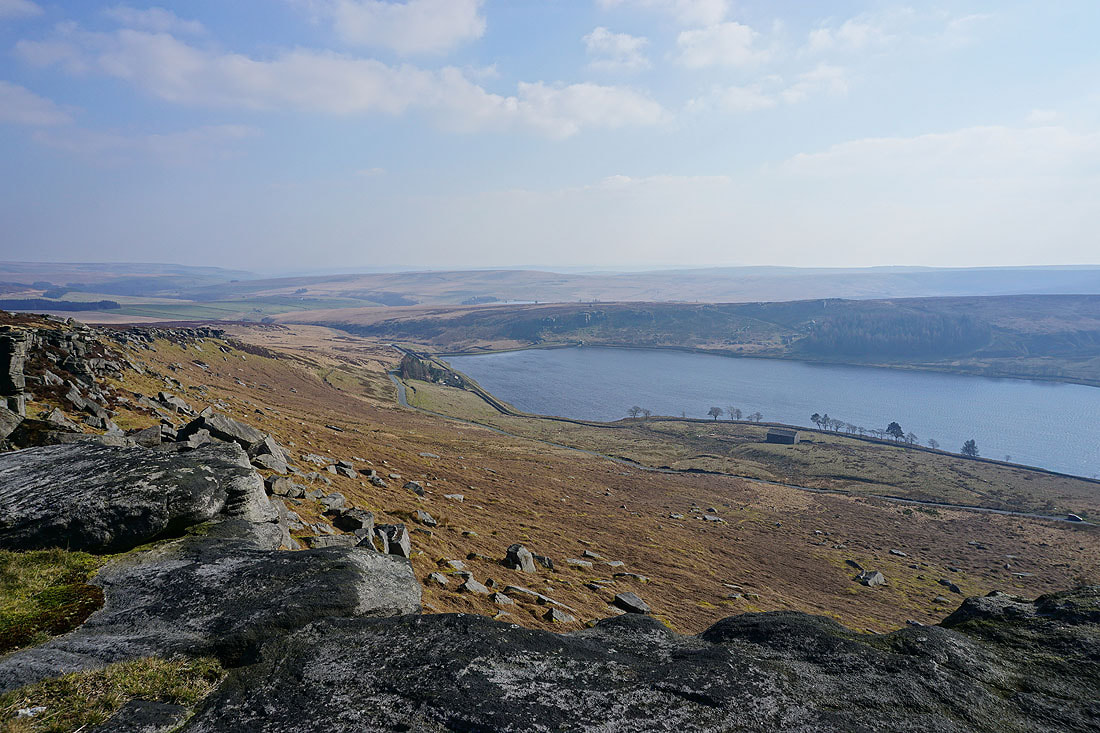
Looking across Widdop Reservoir to Grey Stone Hill and the gritstone edge of The Scout
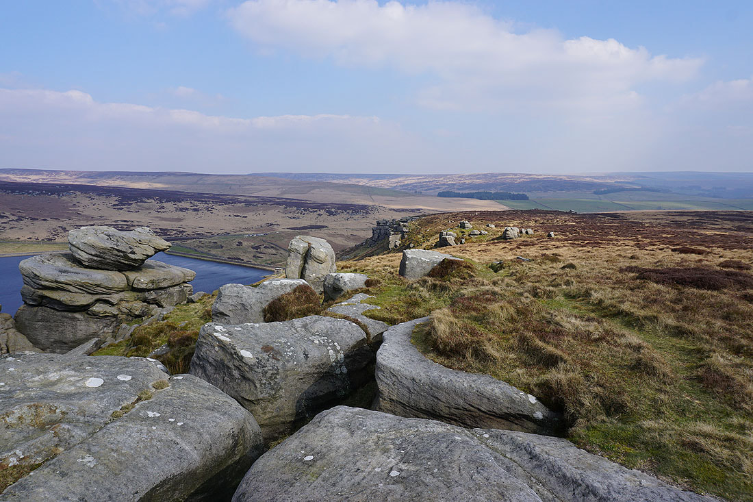
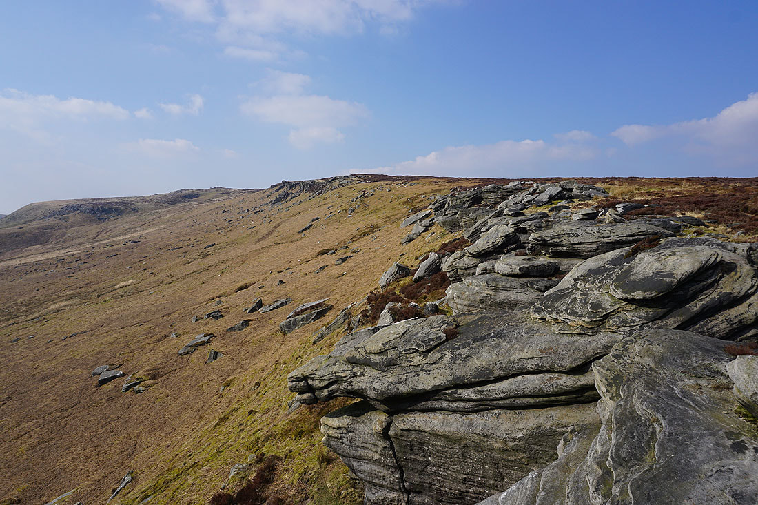
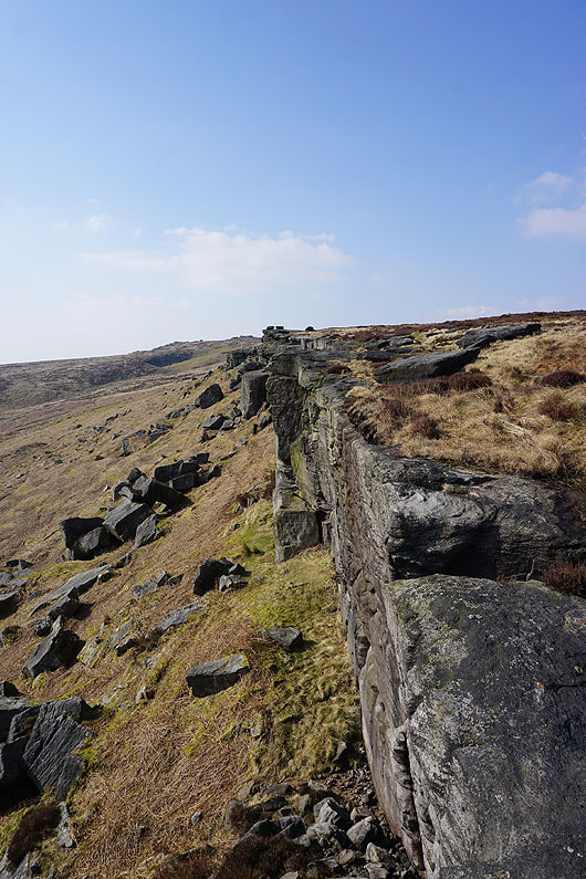
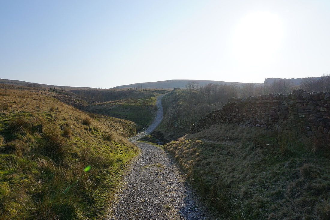
I leave the Pennine Bridleway and make my way along the top of the gritstone crags of Cludders Slack..
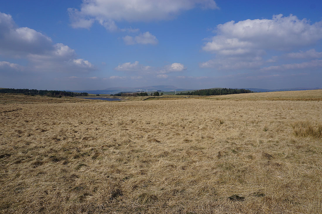
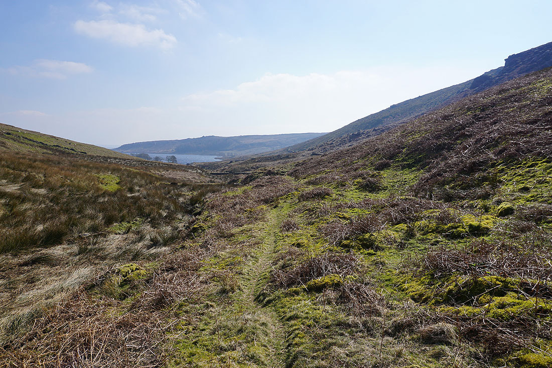
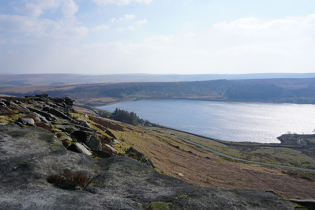
Widdop Reservoir from the eastern end of Cludders Slack
and again from its dam, with Widdop Lodge in the trees on the right
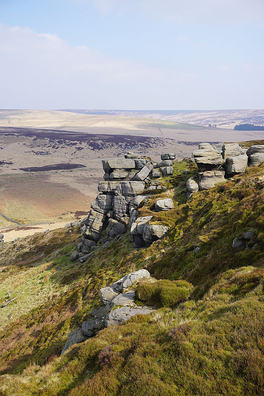
As I climb up onto the gritstone edge of The Scout the road from Heptonstall heads across the moors below
At the eastern end of The Scout
I have a great view across Widdop Reservoir..
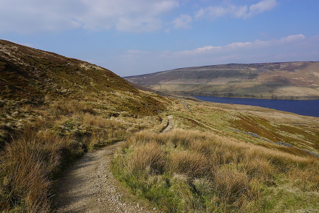
Heading up The Scout
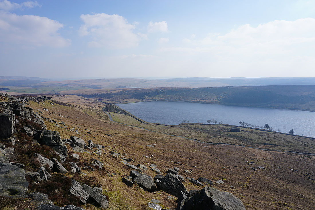
More great views of Widdop Reservoir and its surrounding moors....
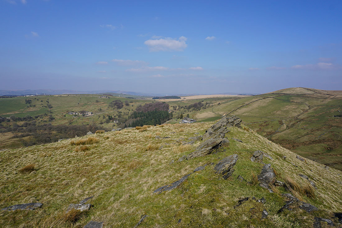
Boulsworth Hill and Dove Stones from Grey Stone Hill
Looking south to Gorple Hill and Clattering Stones
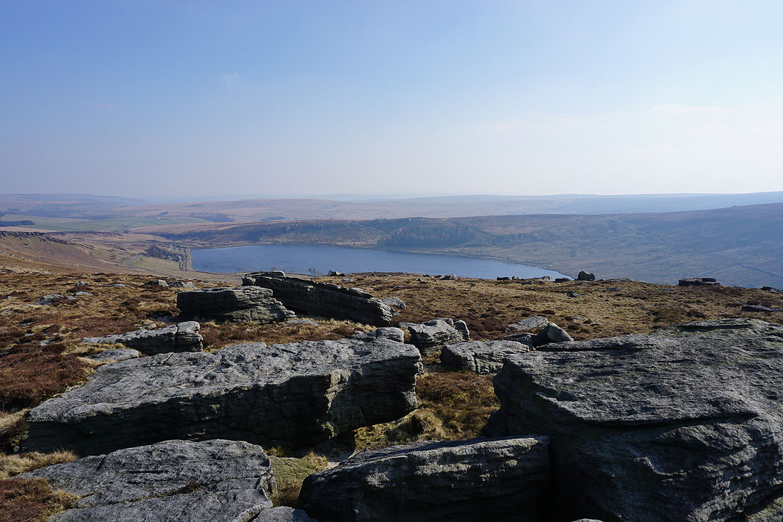
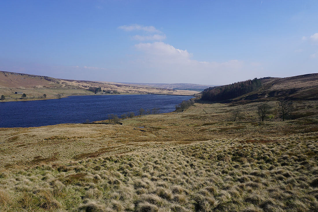
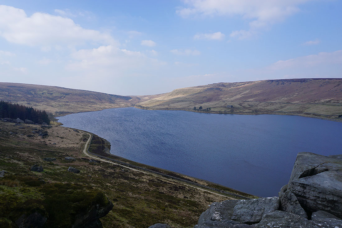
From Grey Stone Hill the whole of Widdop Reservoir is in view. I think its setting in a bowl in the hills is one of the most dramatic in the South Pennines.
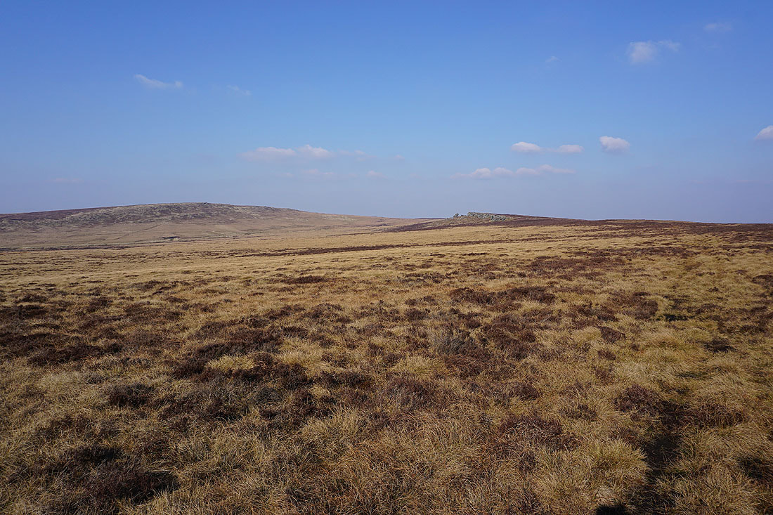
Boulsworth Hill and Dove Stones as I leave Grey Stone Hill
Pendle Hill as I cross the moor from Grey Stone Hill to Dove Stones
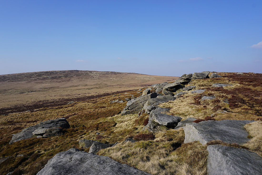
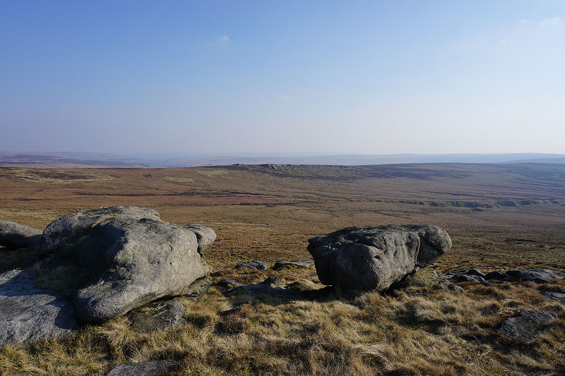
Boulsworth Hill from the southern end of Dove Stones
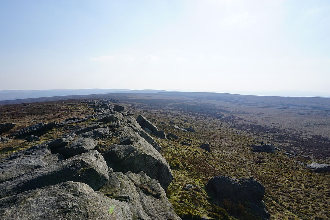
Looking south along Dove Stones to the moorland of Hoof Stones Height, Gorple Hill and Grey Stone Hill
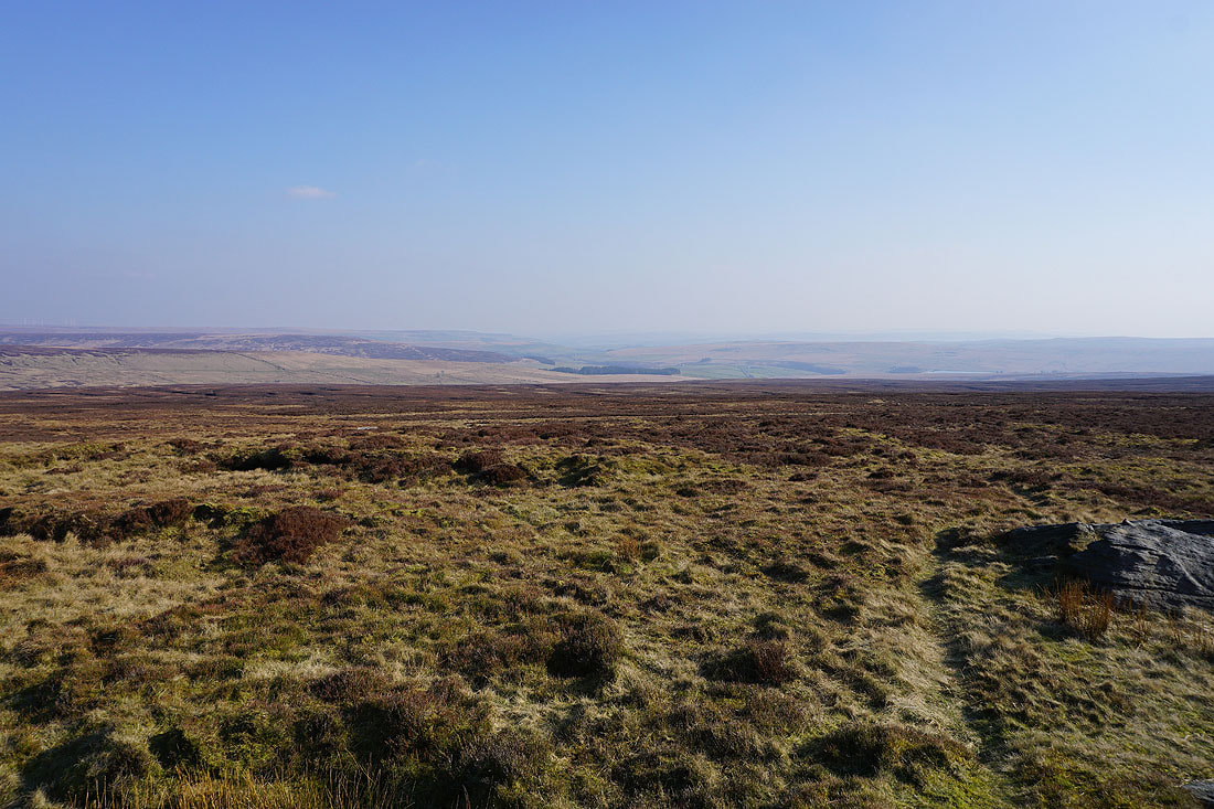
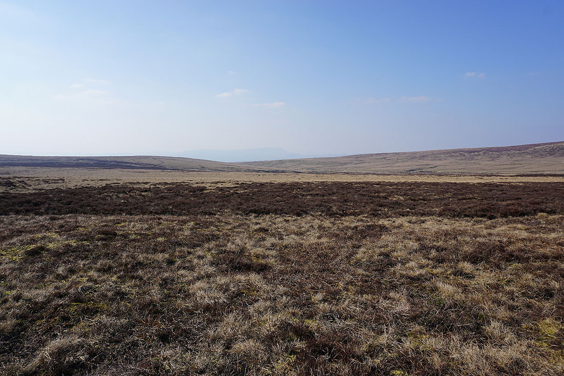
The moorland around Hebden Dale and Calderdale to the southeast
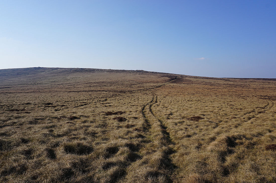
On my way from Dove Stones to Boulsworth Hill
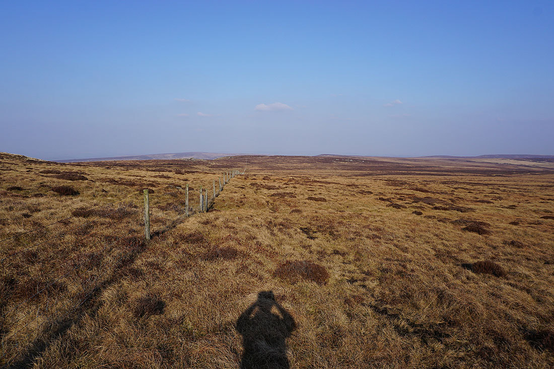
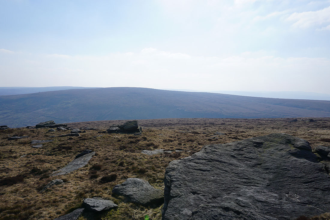
As I reach the fence just below the summit I take a look east towards Crow Hill and Stanbury Moor
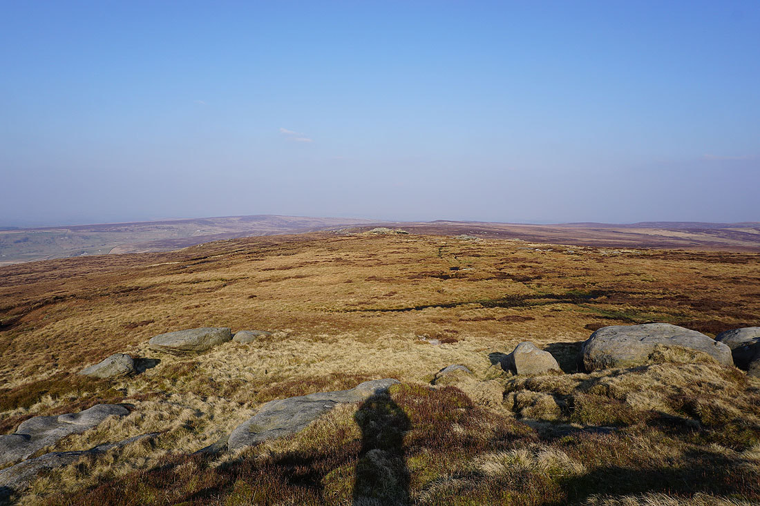
Dove Stones and the moorland of Hebden Dale and Calderdale to the south
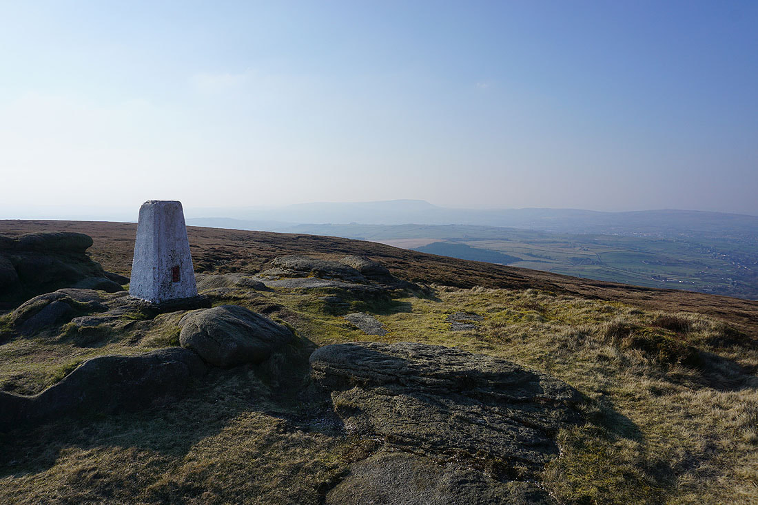
At the trig point on the summit of Boulsworth Hill. The view to Pendle Hill is a bit on the hazy side.
Looking north to Weets Hill, Colne, Trawden, Kelbrook Moor and Pinhaw Beacon
It's a hazy view looking southwest towards the moorland around Rossendale
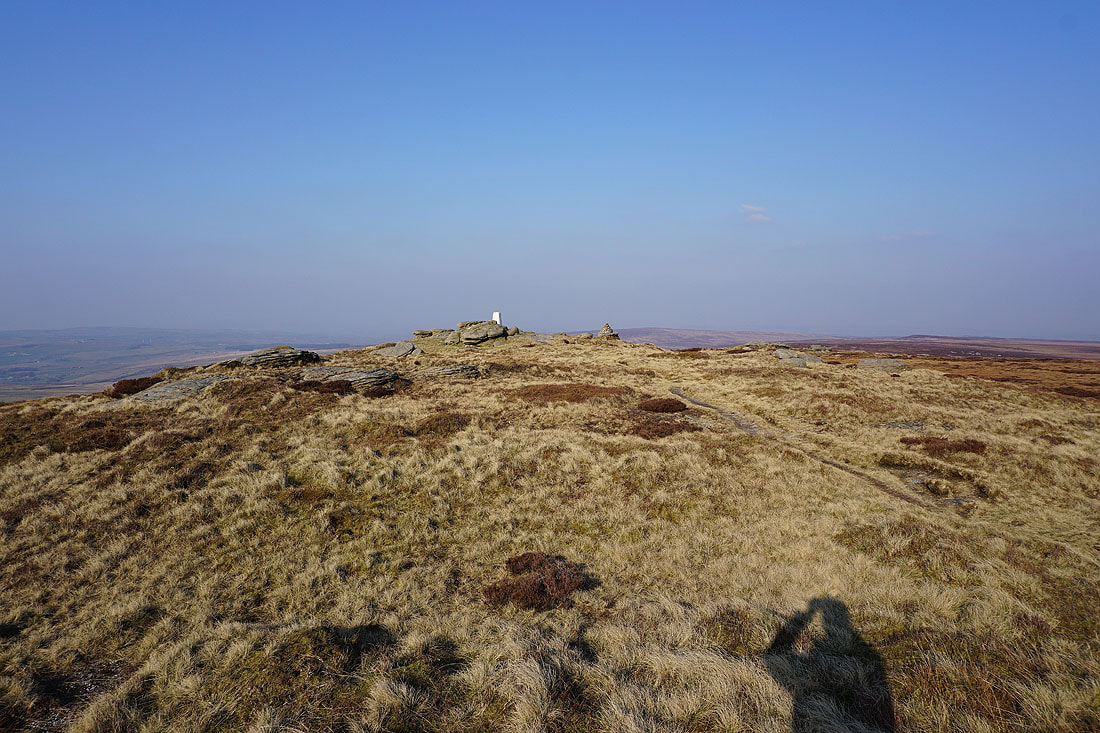
The trig point on Lad Law, the summit of Boulsworth Hill
Wolf Stones and Crow Hill to the east
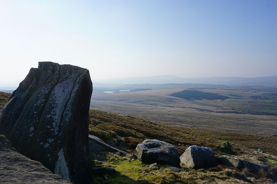
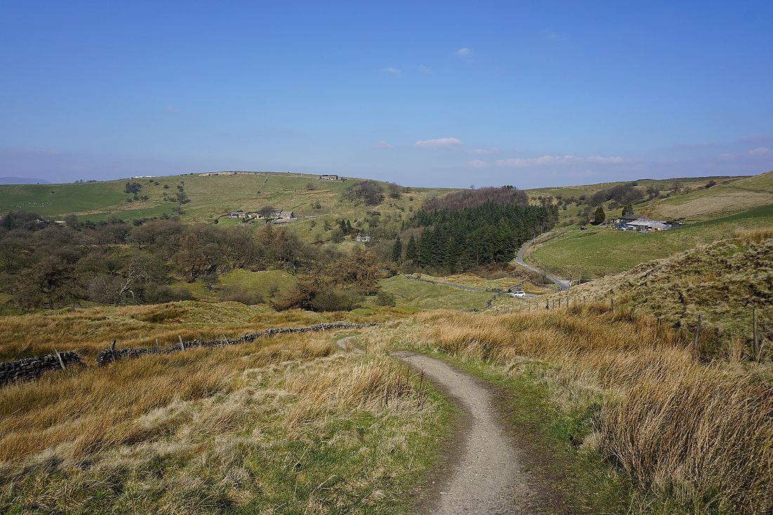
The Coldwell Reservoirs and Pendle Hill as I make my way down past the Abbot Stone
I have a great view to the north as I follow the path down to the Pennine Bridleway..
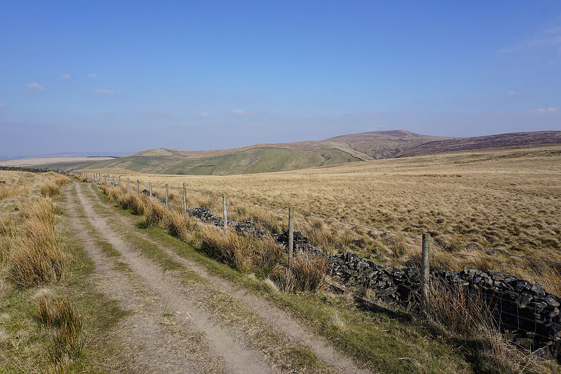
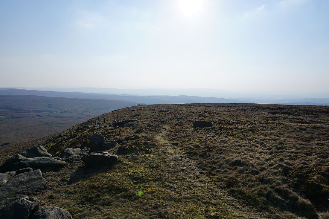
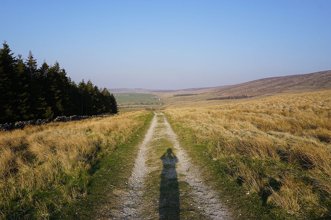
Heading west along the Pennine Bridleway
Looking back east along the Pennine Bridleway
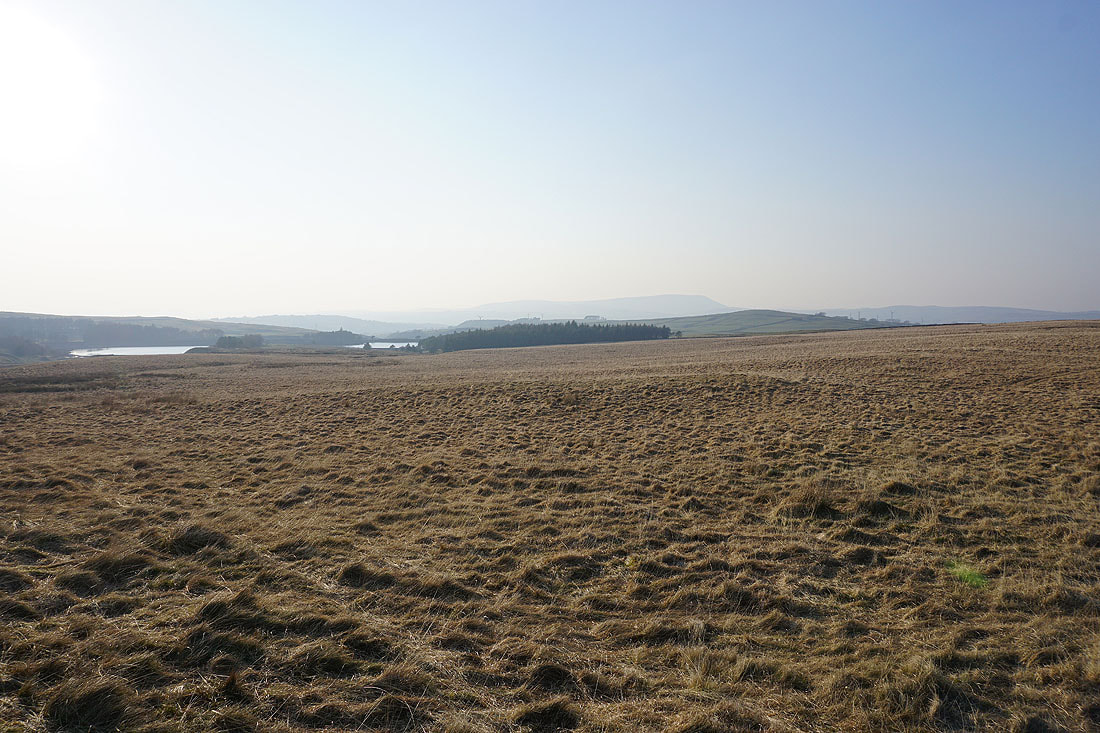
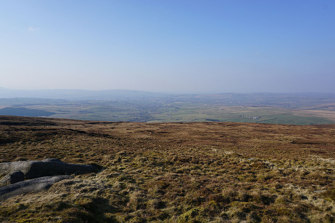
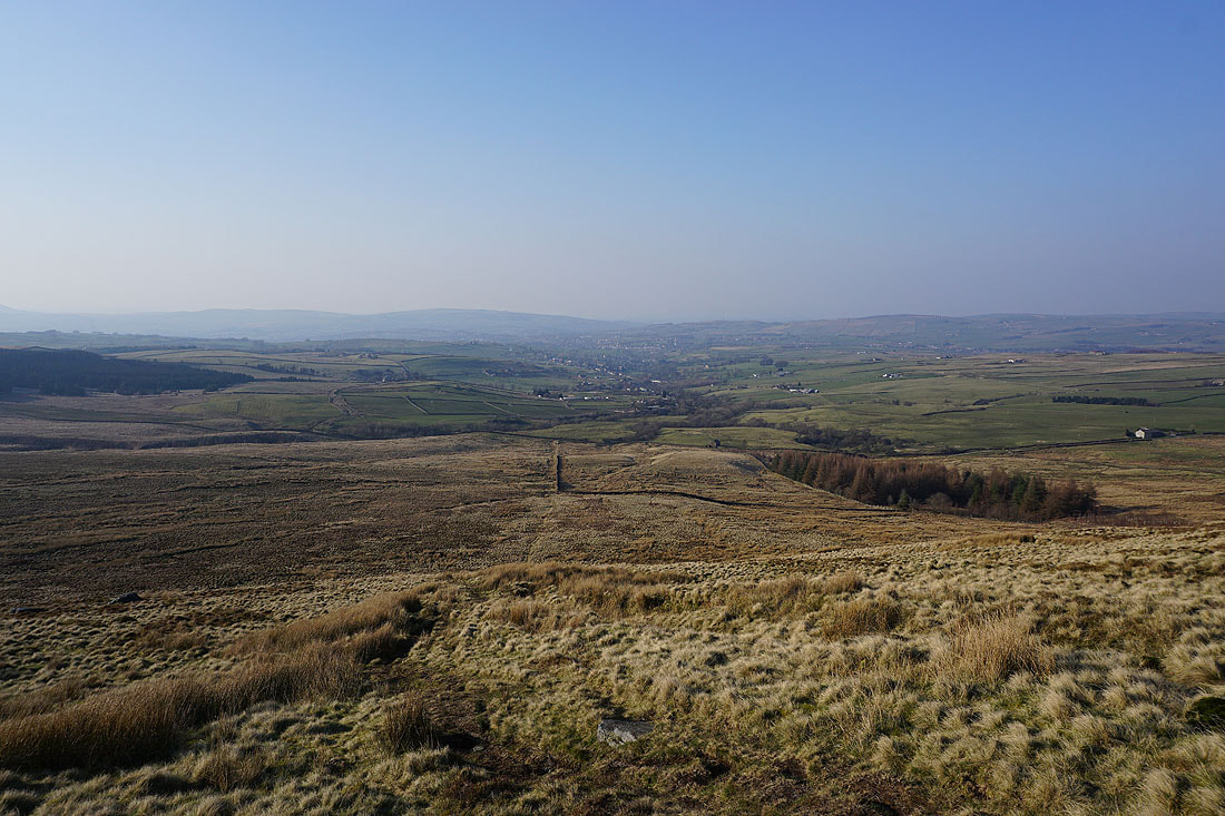
The Coldwell Reservoirs and Pendle Hill across Deerstone Moor
A final shot looking across Lower Coldwell Reservoir to Pendle Hill