20th May 2012 - The Whinfell Ridge
Walk Details
Distance walked: 10.2 miles
Total ascent: 2722 ft
OS map used: OL7 - The English Lakes, South-eastern area
Time taken: 7 hrs
Route description: Layby at Huck's Bridge on the A6-Ashstead Fell-Mabbin Crag-Castle Fell-Whinfell Beacon-Grayrigg Forest-Low Borrowdale-High Borrowdale-Layby at Huck's Bridge on the A6
This walk on the Whinfell ridge and through Borrowdale in Westmorland is just outside the national park, the A6 being the eastern boundary and it was well worth doing. Borrowdale is a quiet and tranquil valley and the views from the ridge would have been better if it hadn't been hazy. A walk I'll definitely do again.
From the layby on the A6 I walked south by the A6 for a 100m or so to a gate that gives access to Ashstead Fell. I then took the obvious path that makes its way to the summit. From Ashstead Fell I made my way along the ridge over the tops of Mabbin Crag, Castle Fell, Whinfell Beacon to Grayrigg Forest. While on Grayrigg Forest I paid a visit to the top of Great Coum that overlooks the Lune gorge. My route back was a pathless descent to Borrowdale and then along the bridleway up the valley back to Huck's Bridge.
Route map
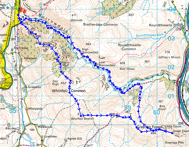
© Crown copyright. All rights reserved. License number PU 100034184.
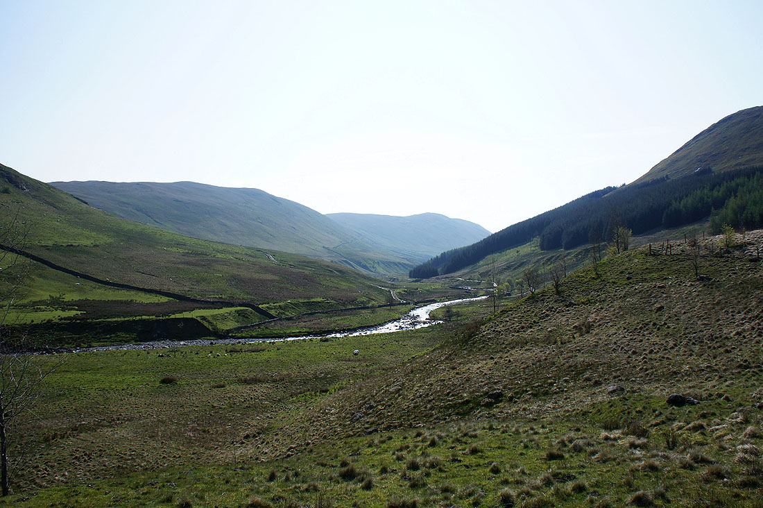
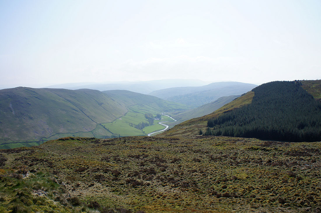
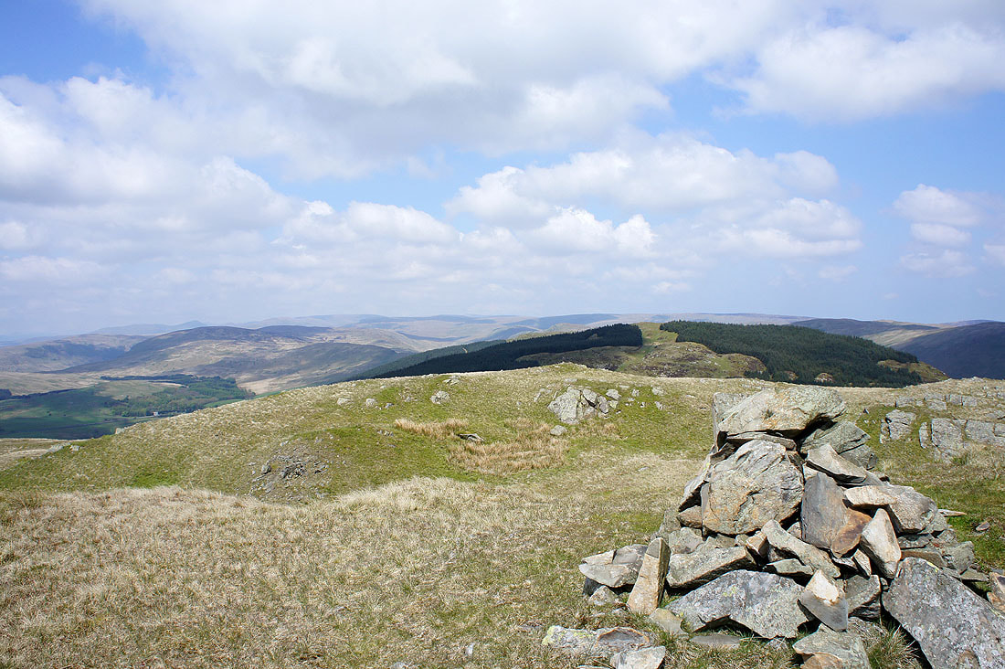
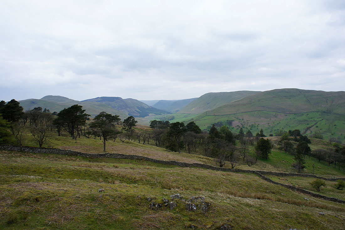
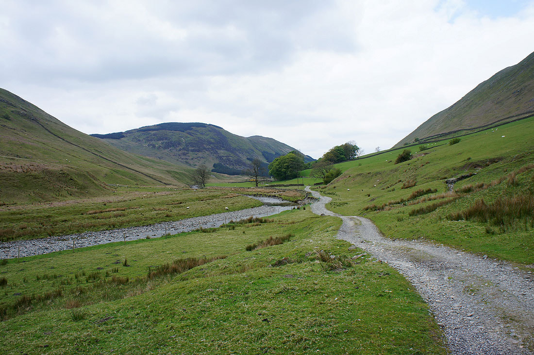
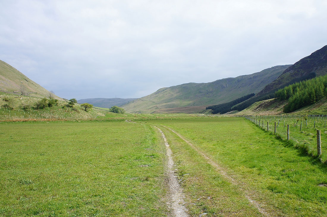
A view down Borrowdale from the start of the walk

and towards the head of Borrowdale from the climb up Ashstead Fell
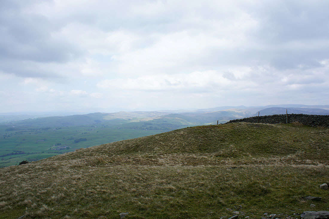
The view down towards Kendal and Morecambe Bay
On Ashstead Fell. In the background are the fells above Longsleddale.
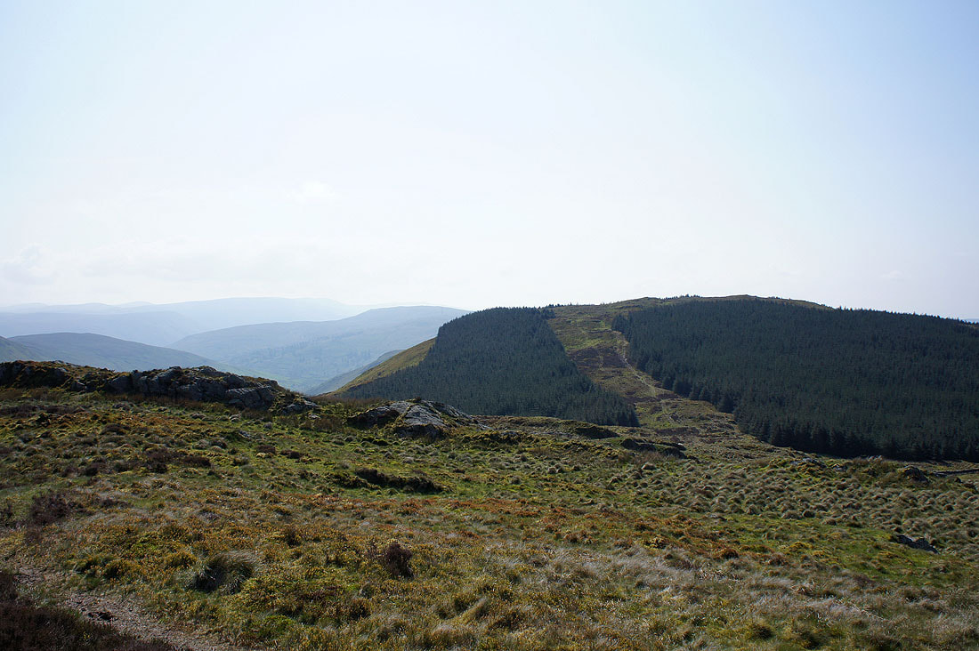
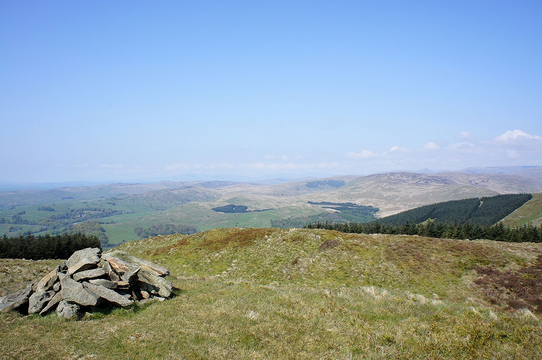
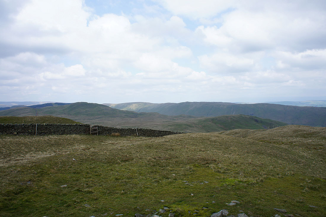
The route ahead to Mabbin Crag is through the gap in the trees. Borrowdale can be seen down on the left.
The Whinash ridge on the other side of Borrowdale
A better view of Borrowdale before I head for Mabbin Crag
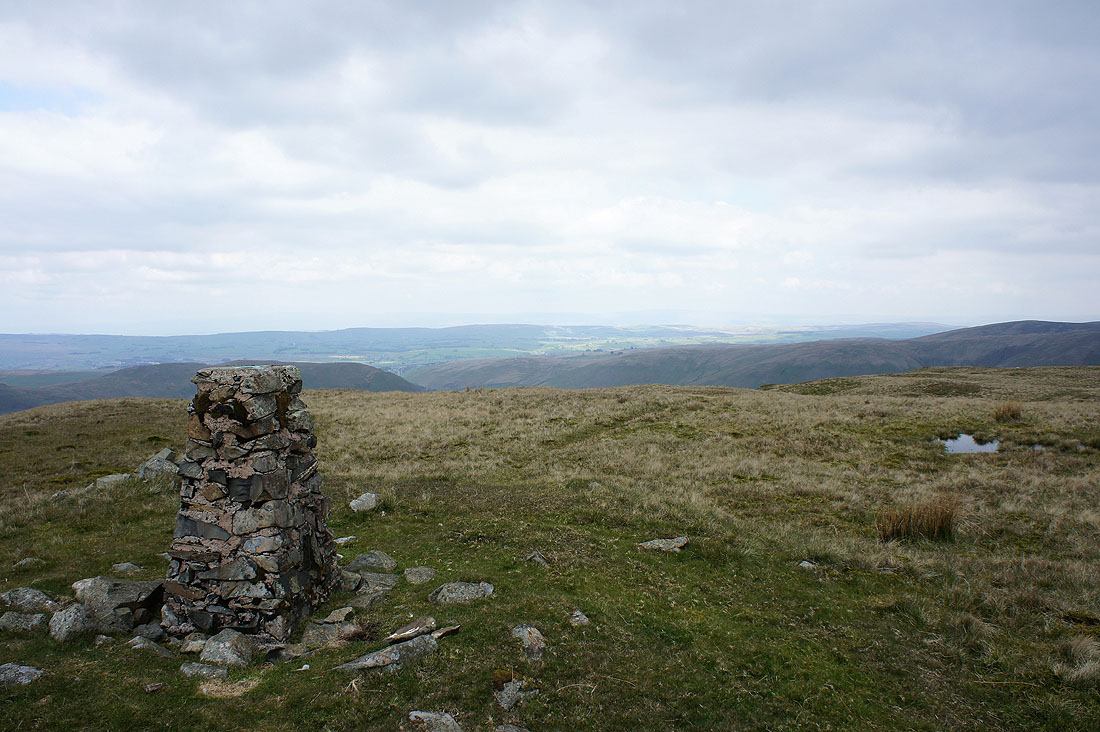
On the summit of Mabbin Crag and the view towards High Street and the Shap fells
A little to the left and the Coniston fells can just be made out in the distance in the middle of the picture
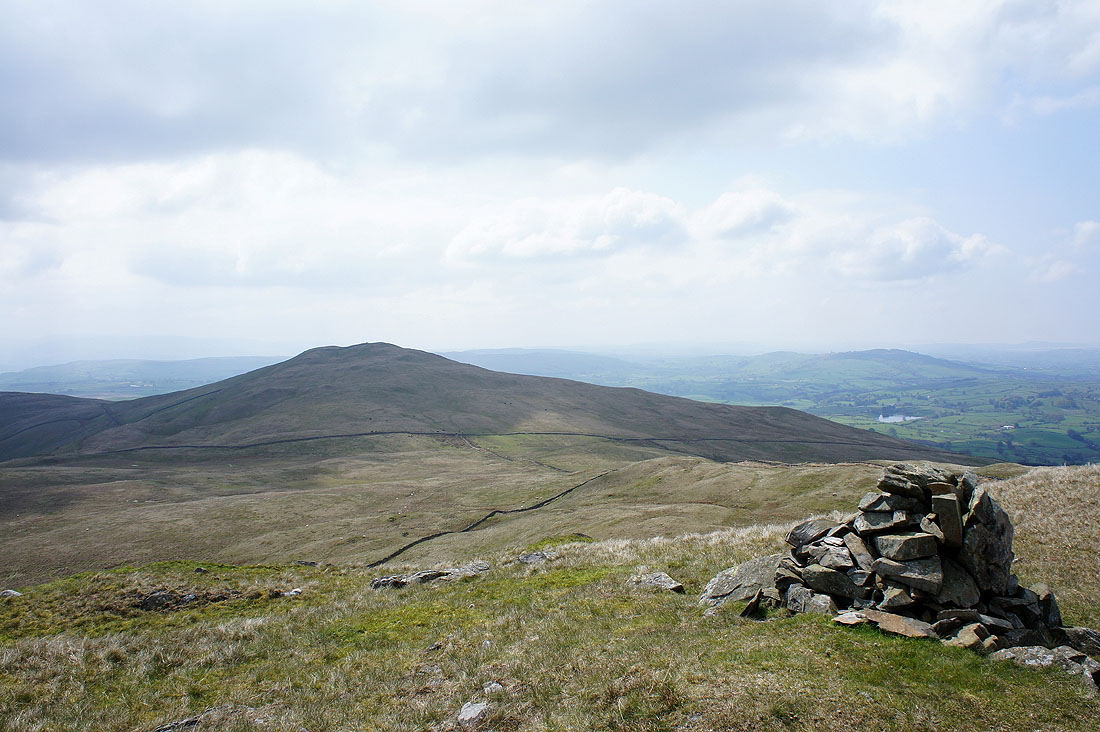
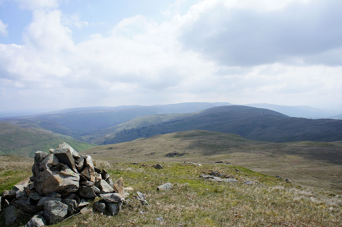
The next top of Castle Fell lies ahead
On Castle Fell looking back to Mabbin Crag
Whinfell Beacon ahead
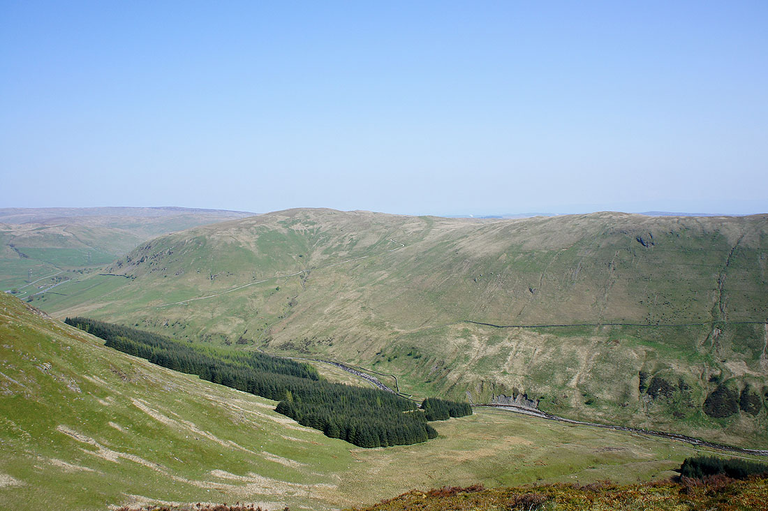
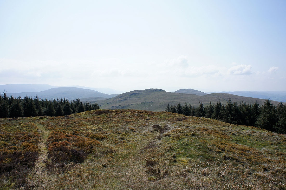
Grayrigg Forest is the last summit on the ridge with the Howgills behind
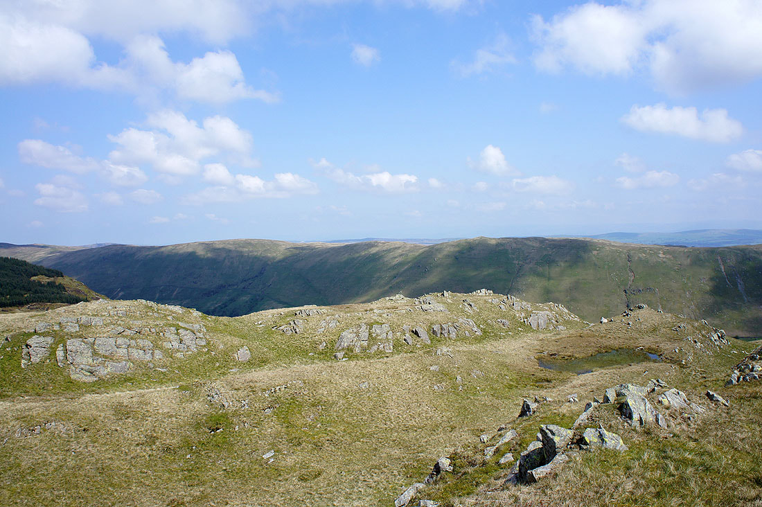
Looking across to the Whinash ridge
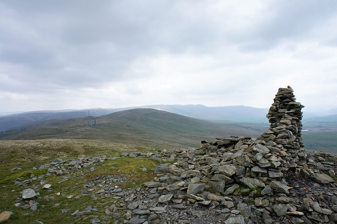
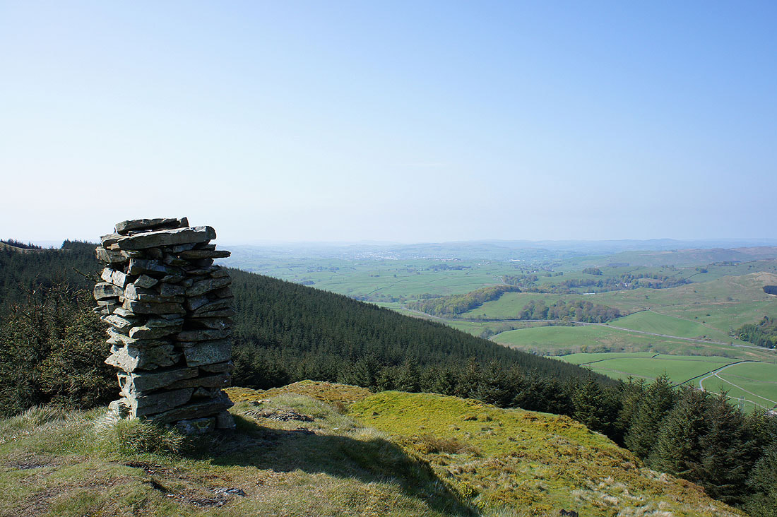
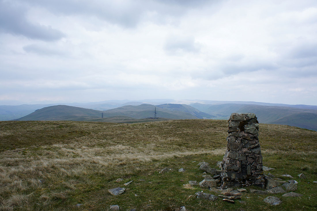
On the summit of Whinfell Beacon with Grayrigg Forest ahead. You can see the GPO repeater station which I'll walk past.
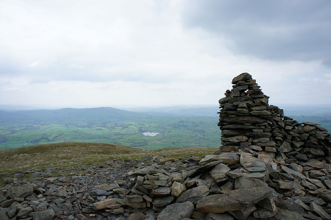
The view towards Morecambe Bay. The patch of water is Whinfell Tarn.
Looking back towards Castle Fell
A hazy view looking towards the Lake District fells

Borrowdale below as I head for Grayrigg Forest
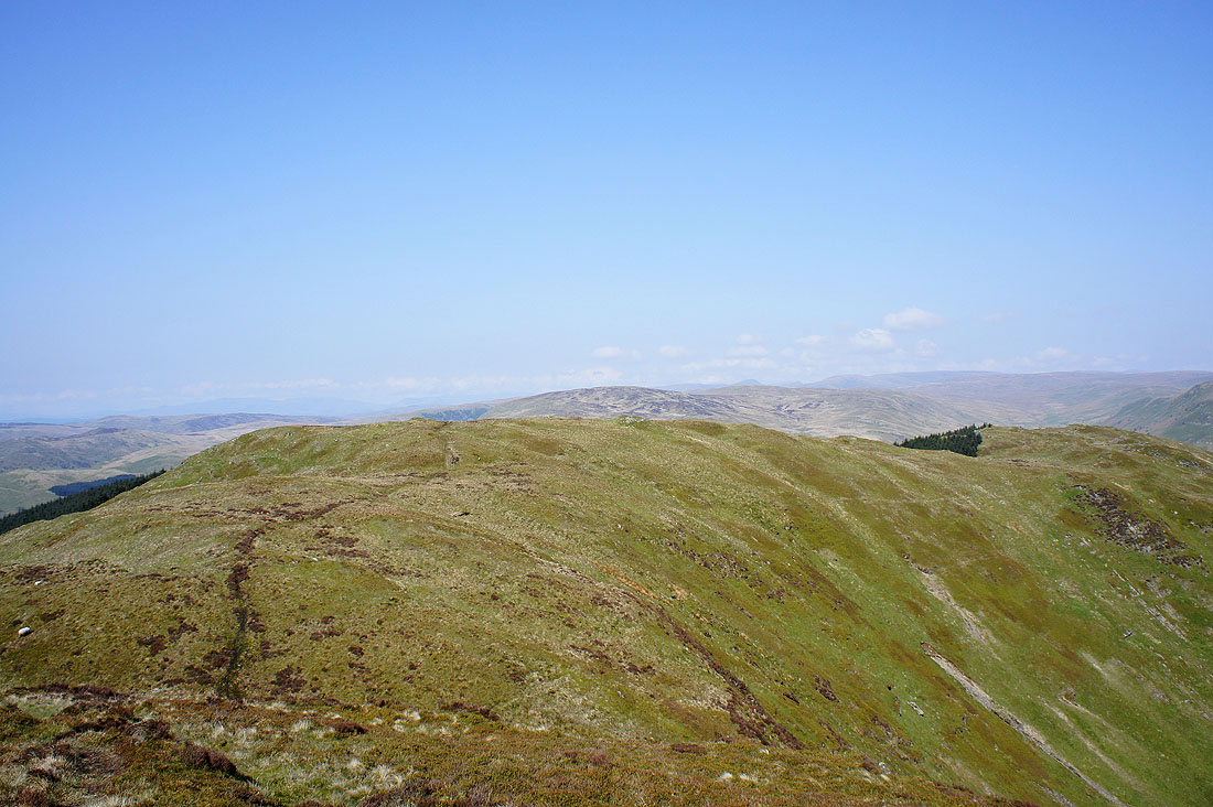
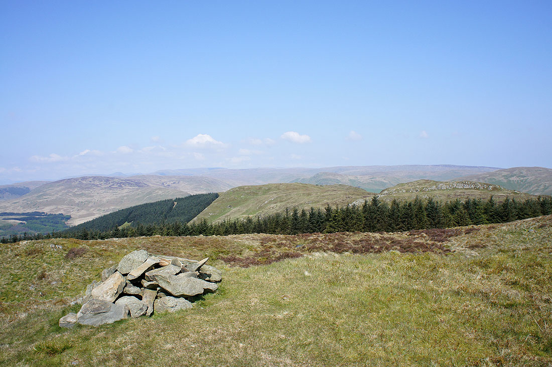
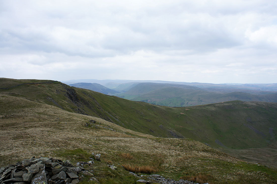
The final top of the day, Grayrigg Forest and the view back along the ridge
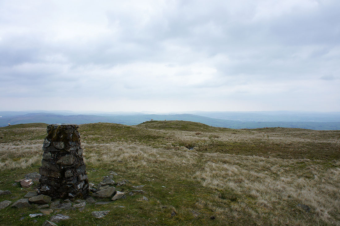
Morecambe Bay can just be made out

The Howgills
The view to the northeast and the Orton fells
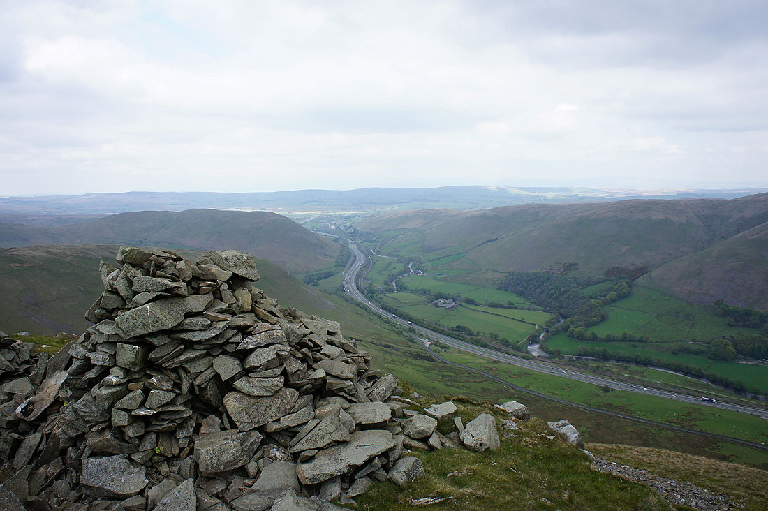
If you've ever been through the Lune gorge on the M6 and wondered what the view was like from up here, this is it
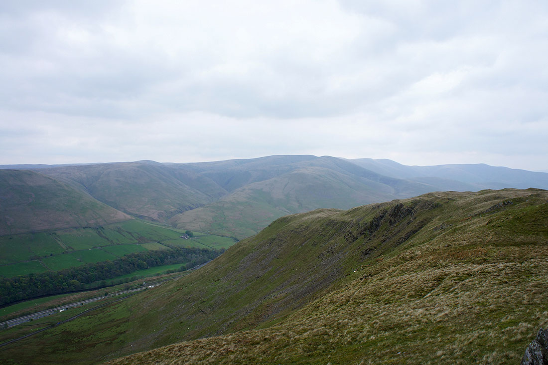
and the Howgills
The length of Borrowdale can be seen on the other side of that ridge
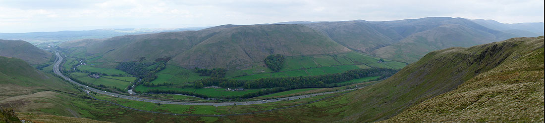
A panorama of the Lune gorge
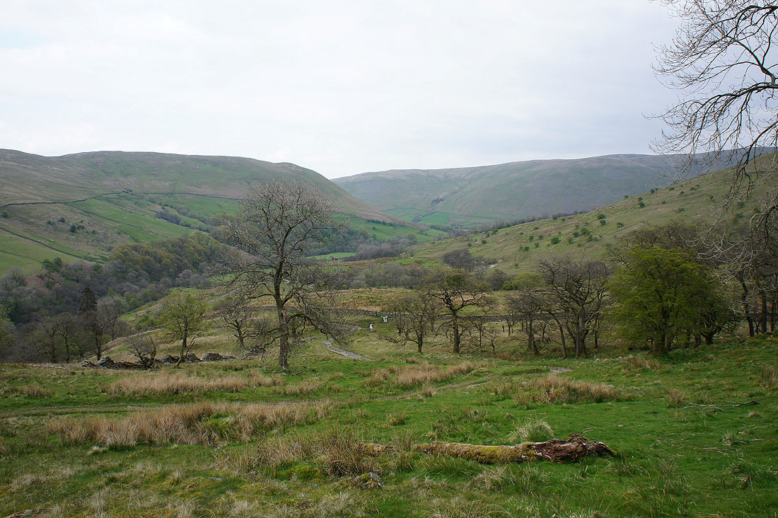
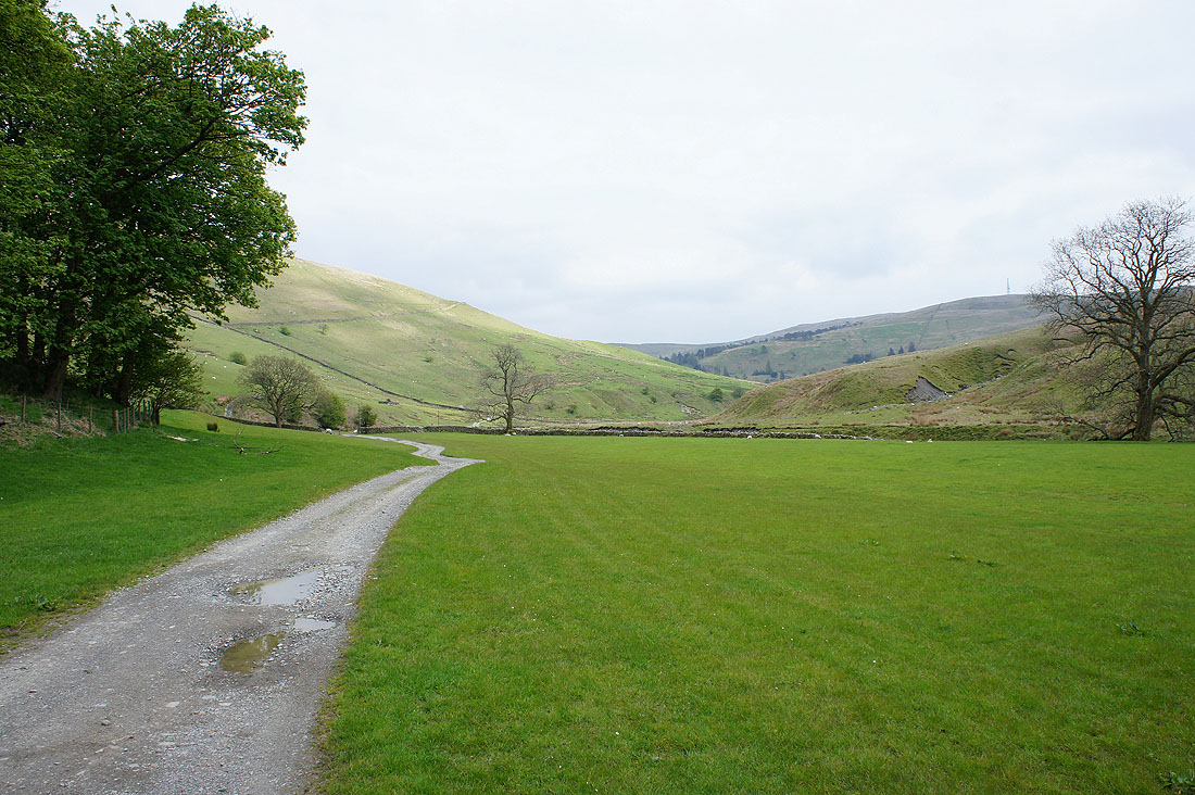
A view up Borrowdale as I head down into the valley
and down the valley as I finally get a proper path under my feet when I join the bridleway that goes over the ridge via the repeater station
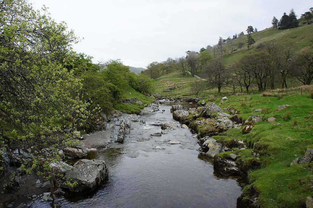
Crossing Borrow Beck
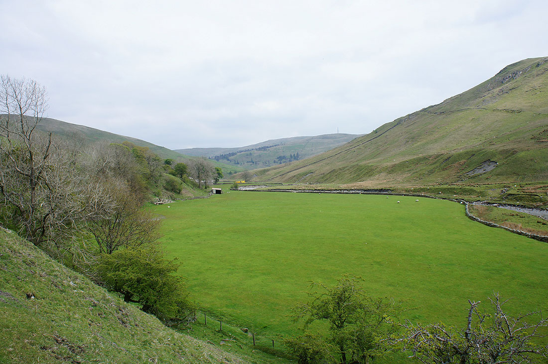
A few pictures of Borrowdale as I make my way back up the valley...
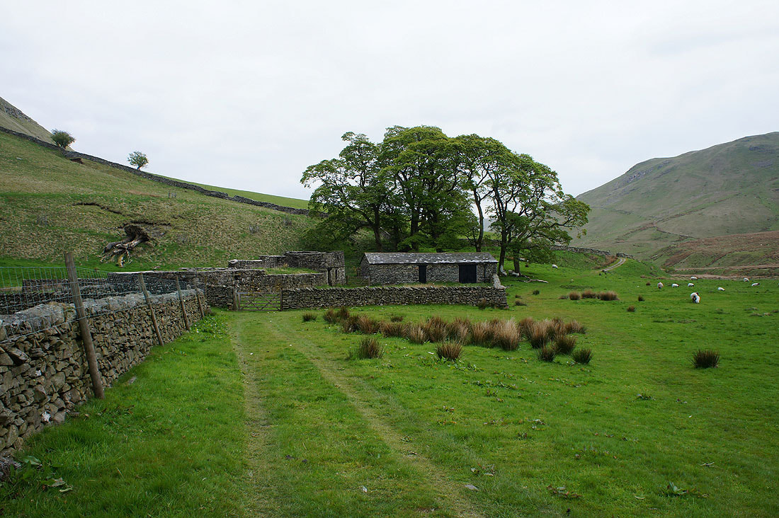
The ruined farm of High Borrowdale
A last look back down the valley before..

..I reach Huck's Bridge and the end of the walk