20th May 2018 - A Langden Round
Walk Details
Distance walked: 10.6 miles
Total ascent: 1809 ft
OS map used: OL41 - Forest of Bowland & Ribblesdale
Time taken: 6 hrs
Route description: Parking area at Langden Intake on the Trough of Bowland road-Langden Brook-Langden Castle-Fiendsdale-Fiendsdale Head-Fair Snape Fell-Totridge-Hareden Farm-Parking area at Langden Intake on the Trough of Bowland road
I couldn't believe it when I realised that it been almost six years since I last did this walk. Now was the perfect time to do it again, as all the warm and dry weather this month will have tamed Bowland's bogs. Not quite the clear blue skies and sunshine of yesterday with quite a lot of high cloud making the sunshine hazy. Still a wonderful day for being up on the fells. Before reaching the start at Langden Intake I partook of a bit of breakfast at Puddleducks Tearoom in nearby Dunsop Bridge.
From the parking area at Langden Intake I made my way up the access road to the waterworks before taking the footpath up the valley of Langden Brook to the ruin of Langden Castle. Past here and I took the path signposted for Fiendsdale Head. This soon crossed Langden Brook and then I followed it up Fiendsdale to eventually arrive at Fiendsdale Head. From there I followed the fence up to the summit of Fair Snape Fell, marked by a large cairn with a post in it, before heading across to the trig point and shelter to have my lunch. I then backtracked to the summit to continue with following the fence and then wall along the moorland ridge to the summit of Totridge. That part of the walk would potentially have been the boggiest but it was pretty easy going all the way. I then made my way down by a concessionary path to reach the bridleway down to Hareden Farm. A concessionary path from the farm's access road follows Langden Brook north back to the start at Langden Intake.
Route map
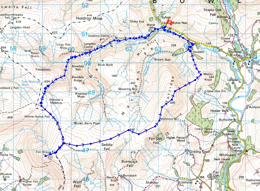
© Crown copyright. All rights reserved. License number PU 100034184.
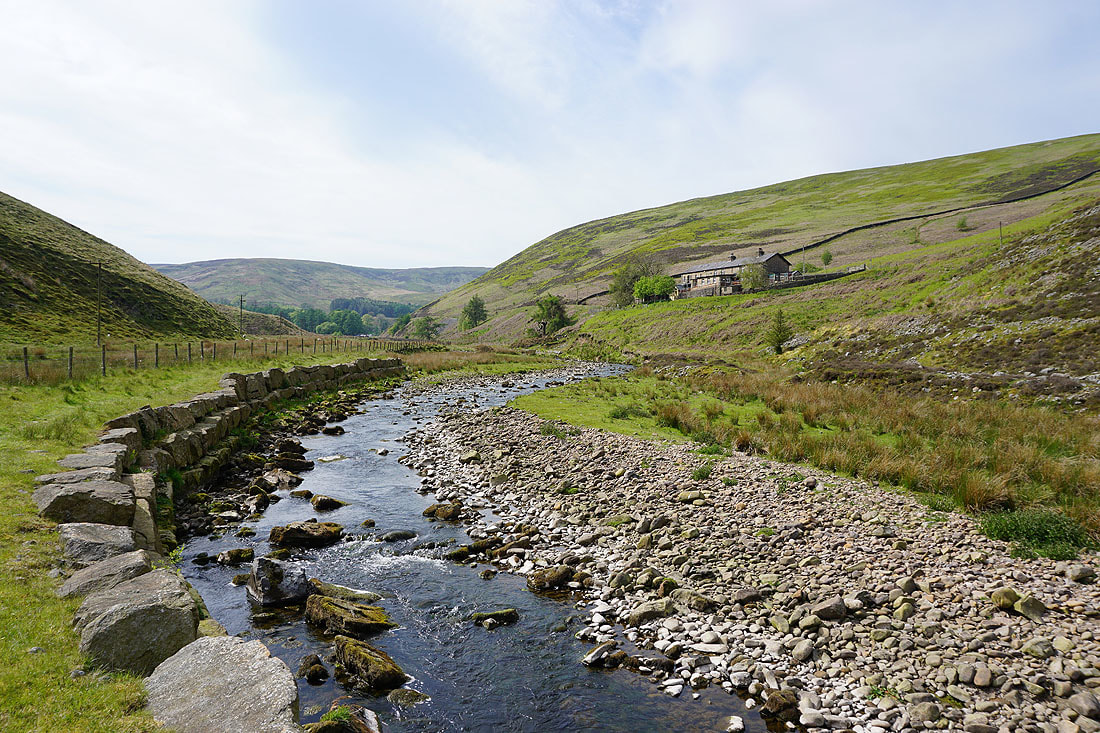
I start by walking up the road to the waterworks buildings at Langden Intake
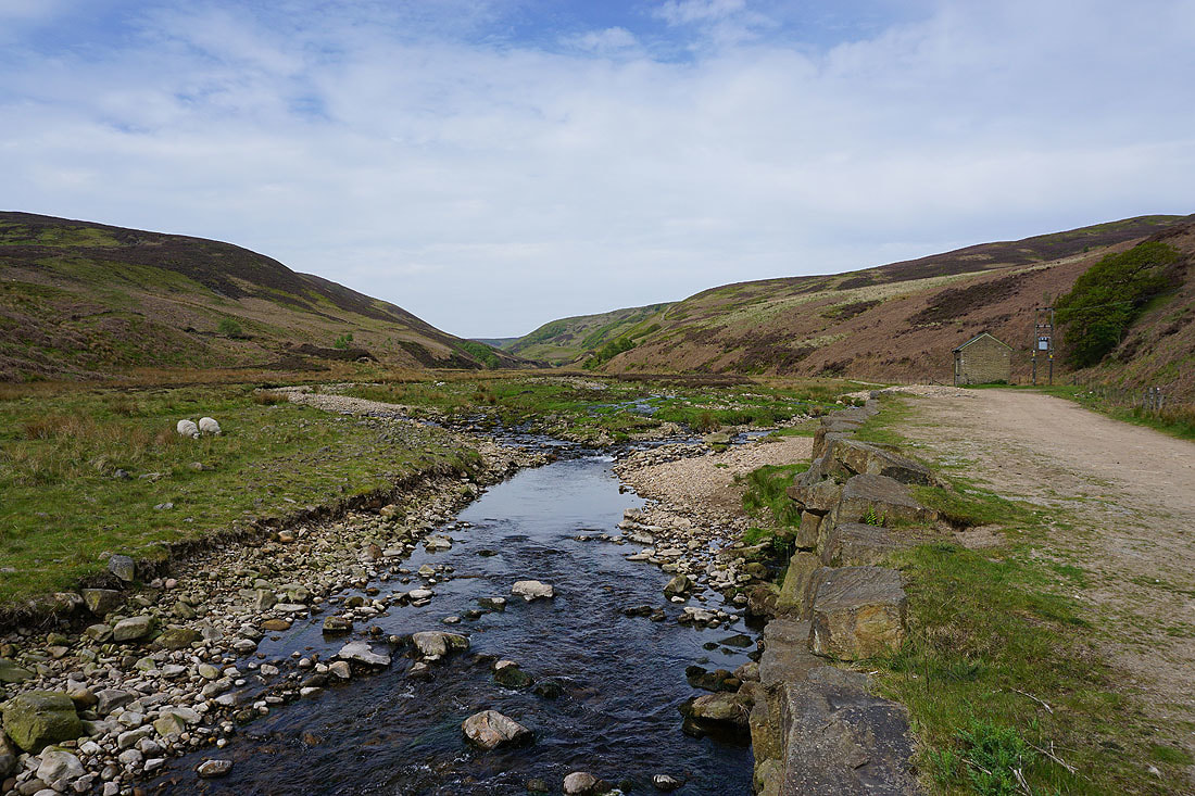
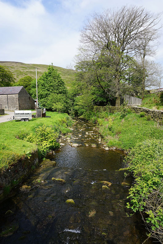
I soon reach the footpath up the valley of Langden Brook
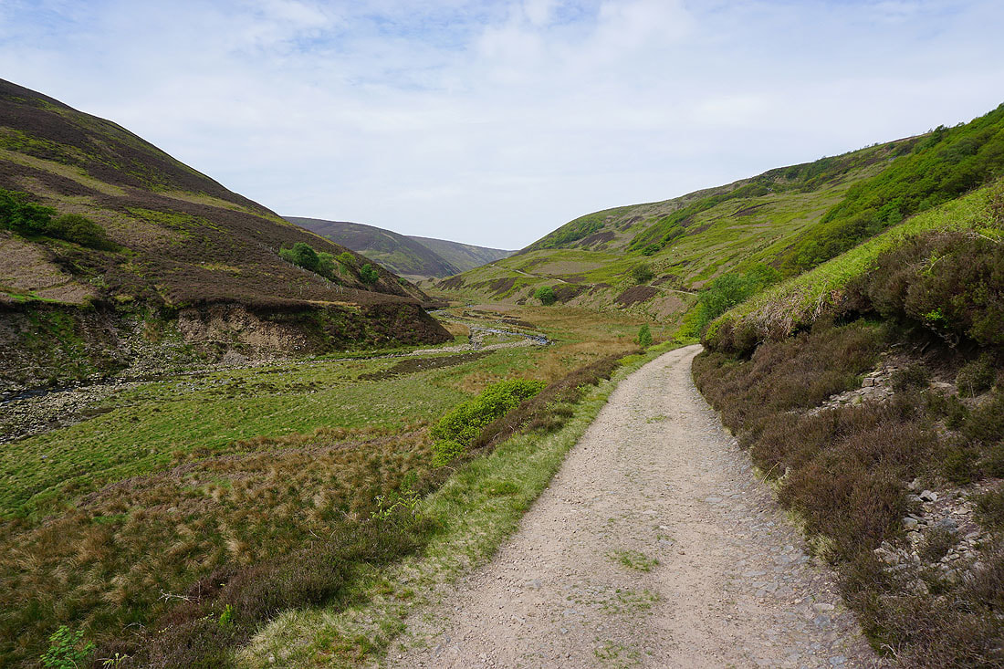
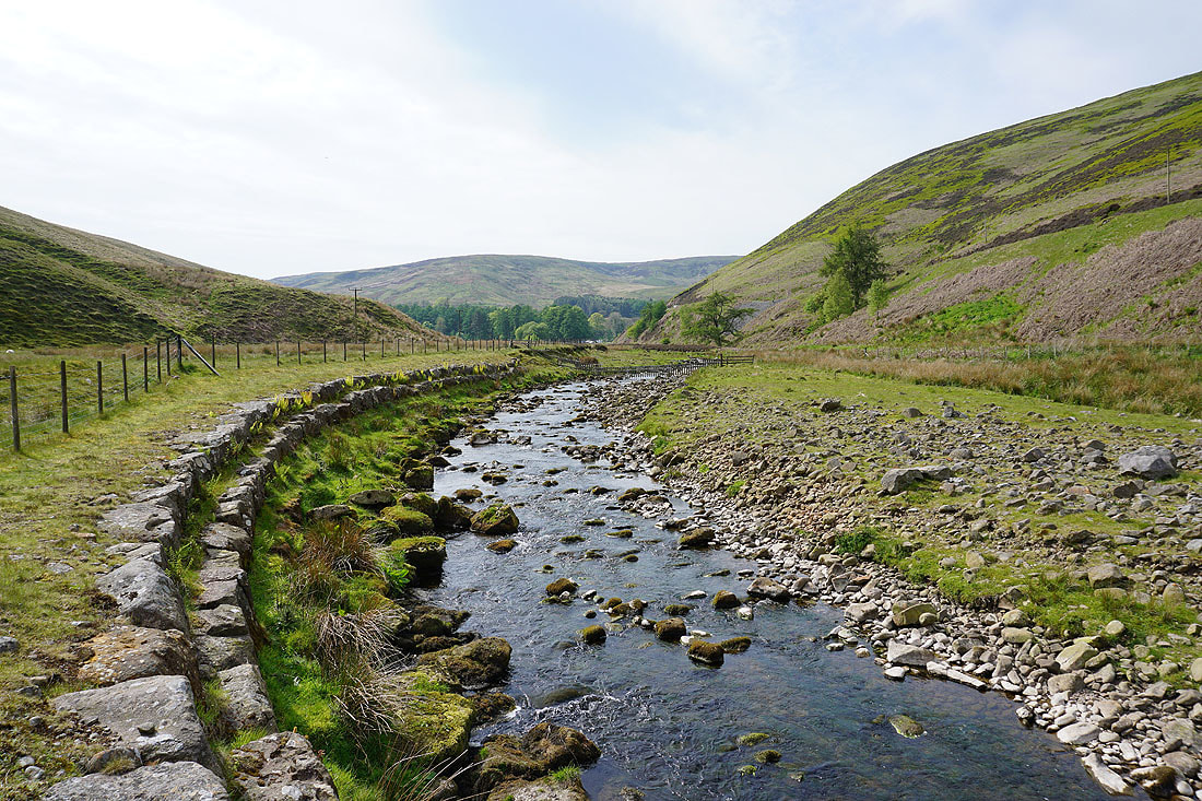
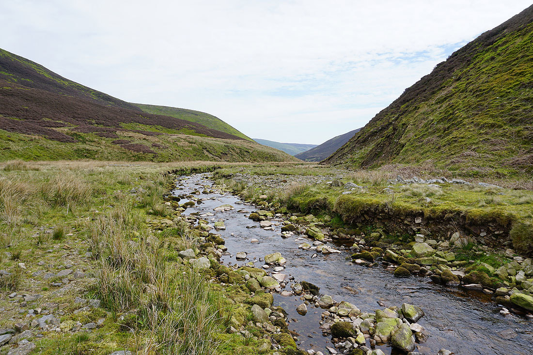
Following the path by Langden Brook..
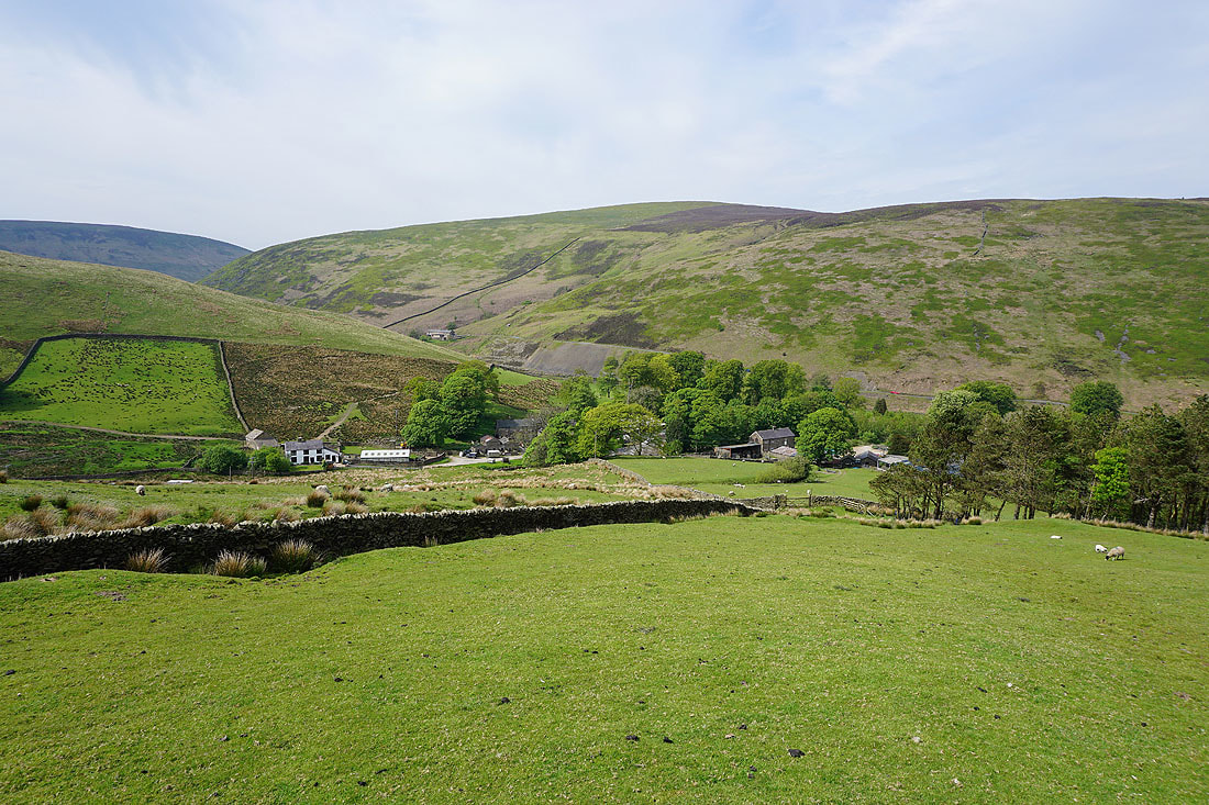
Approaching Bleadale Nab, where Bleadale Water joins Langden Brook
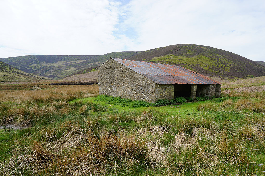
The ruin of Langden Castle
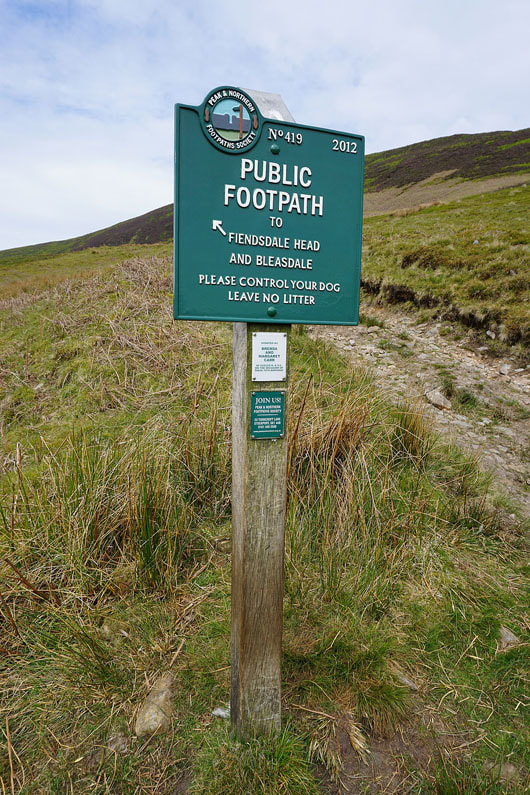
Taking the path to Fiendsdale Head
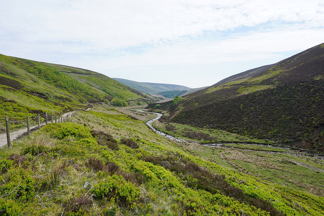
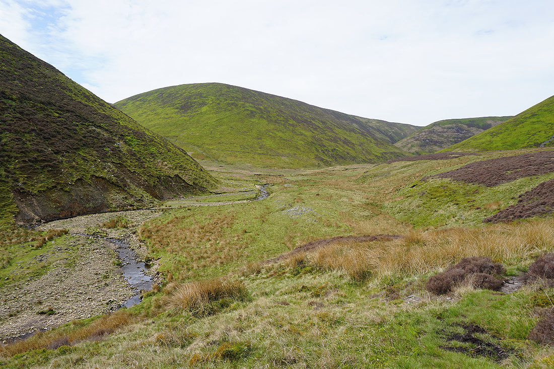
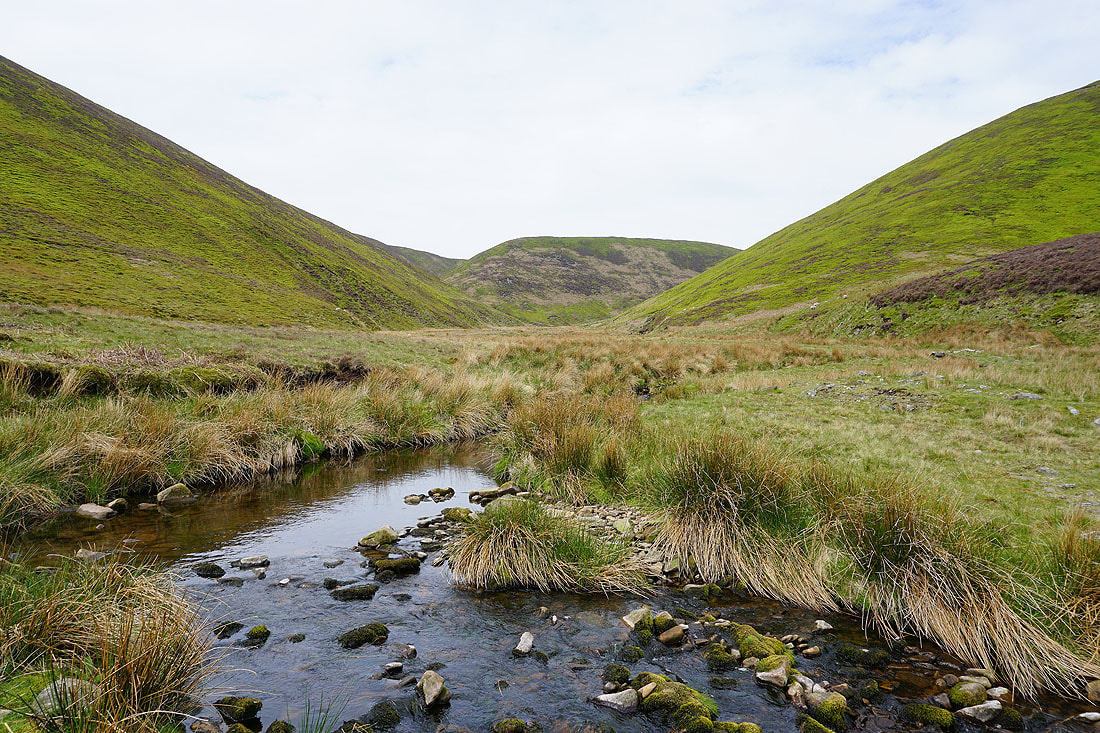
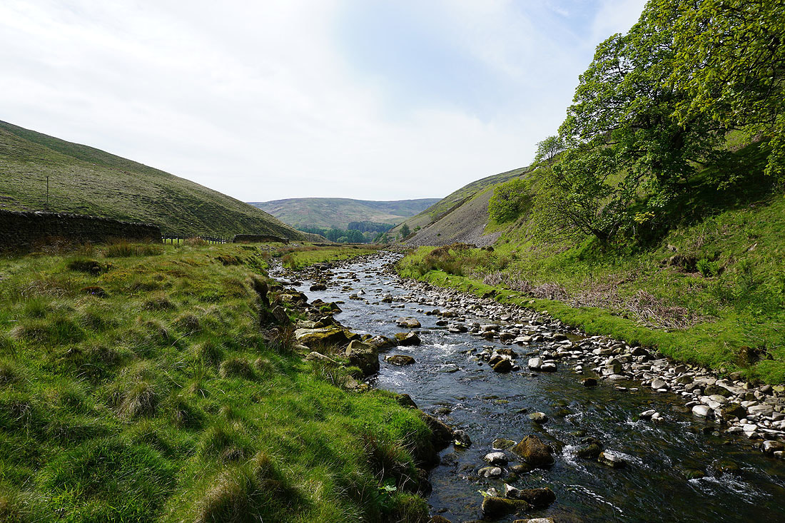
Looking back down Langden Brook
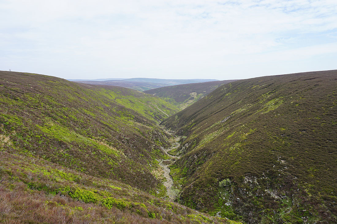
That's Fiendsdale Nab ahead. I'll cross Langden Brook and take the path up into Fiendsdale on the left.
Crossing Langden Brook..
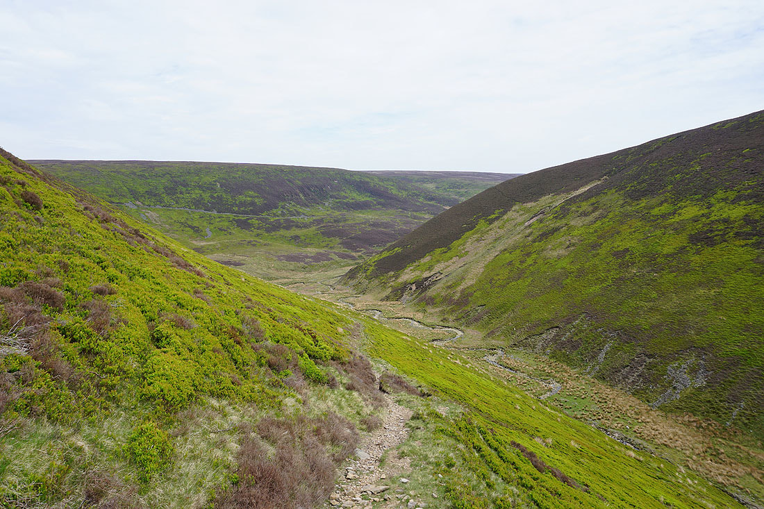
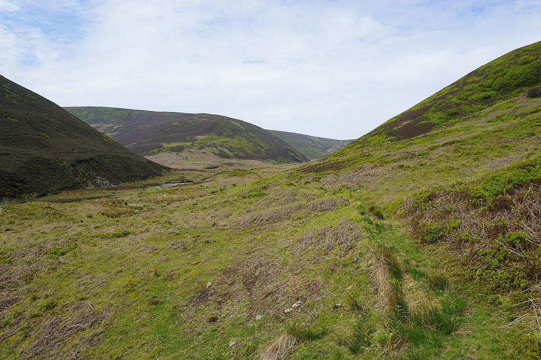
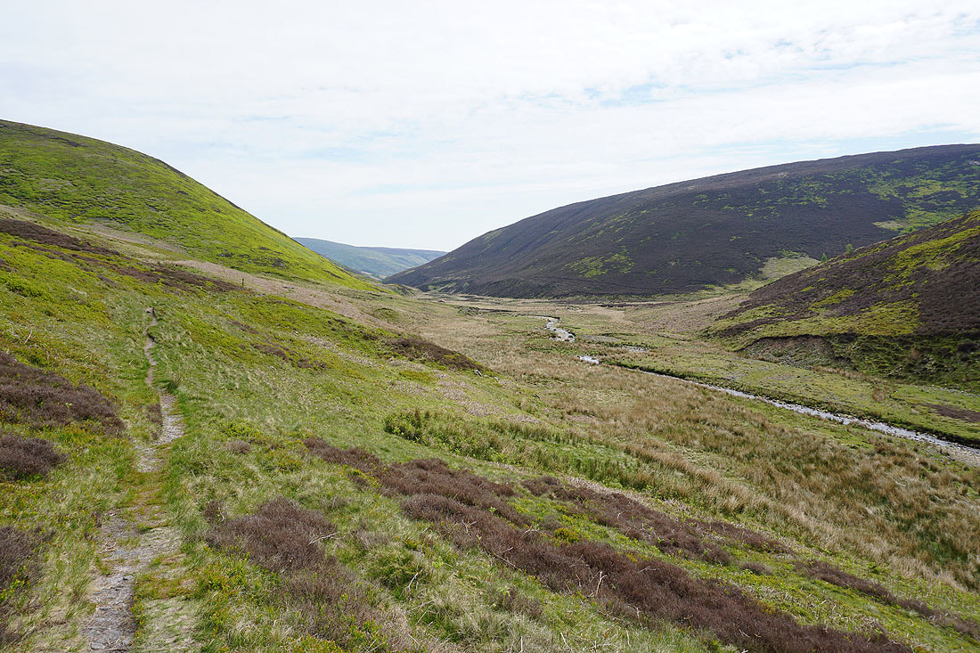
Fiendsdale as I follow the path up the valley...
The view opens up to the north to Wolfhole Crag as I reach Fiendsdale Head
Fair Snape Fell
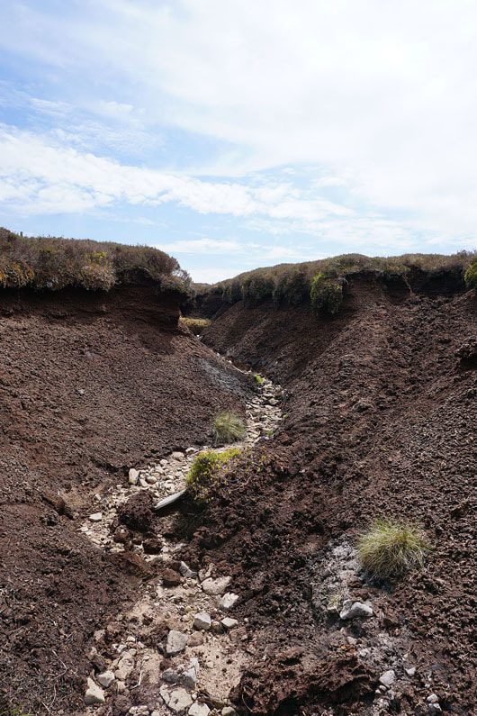
Erosion has removed the peat all the way down to the bedrock
Hawthornthwaite Fell and Ward's Stone to the north
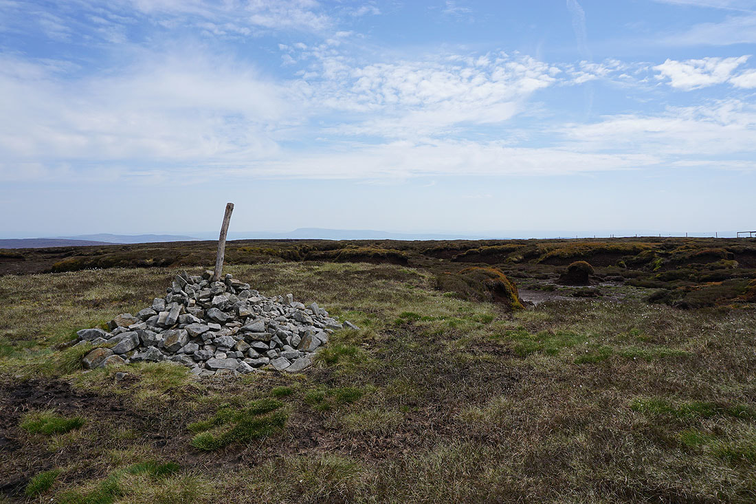
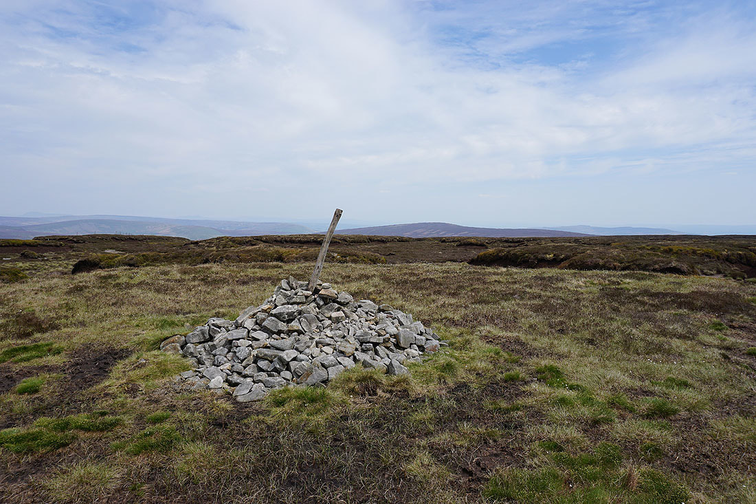
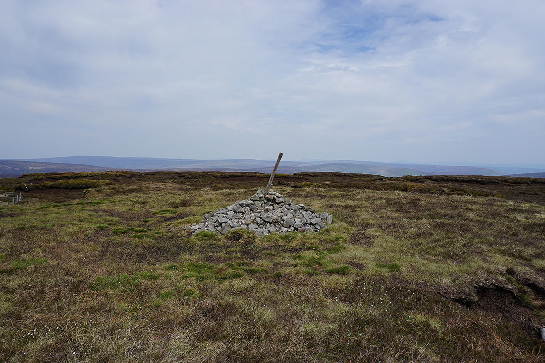
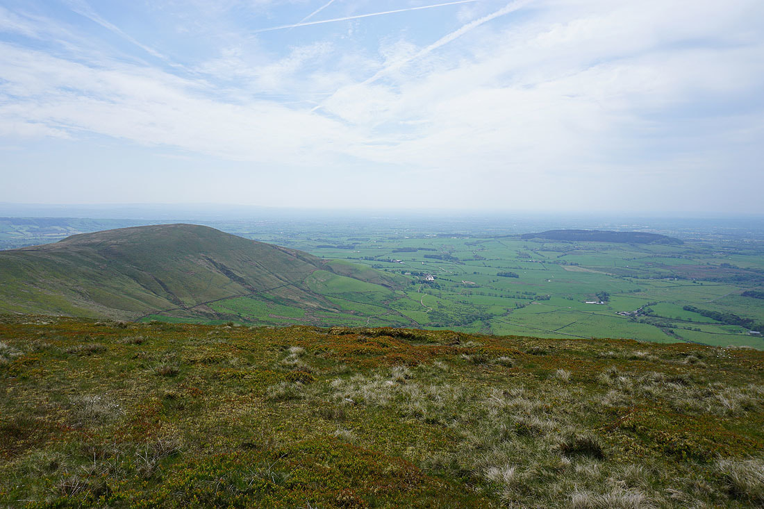
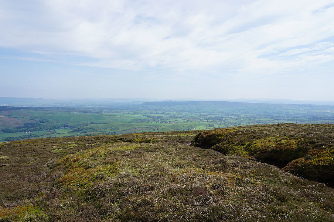
The cairn that marks the top of Fair Snape Fell with Pendle Hill in the distance
Totridge to the right of the pole
Ward's Stone and Wolfhole Crag to the north, and I can just make out the hazy outline of Ingleborough
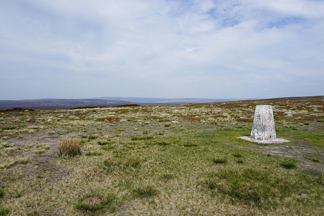
Hawthornthwaite Fell, Ward's Stone and Wolfhole Crag from the trig point on Fair Snape Fell
Hazelhurst Fell and Winny Bank
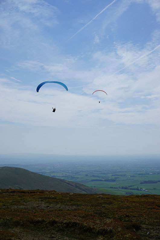
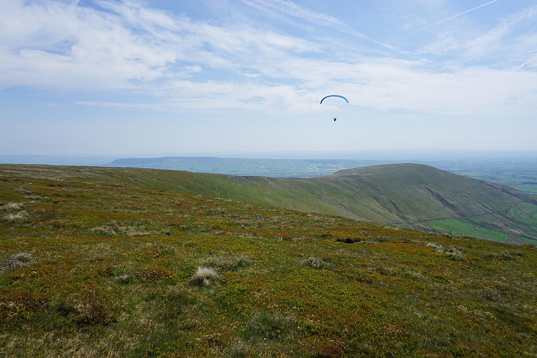
Paragliders making good use of the strong breeze that's rushing up the slope of the fell
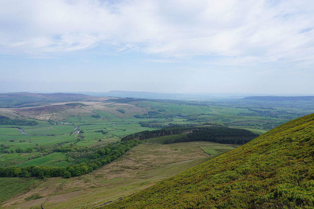
Longridge Fell and Parlick
Parlick and Beacon Fell
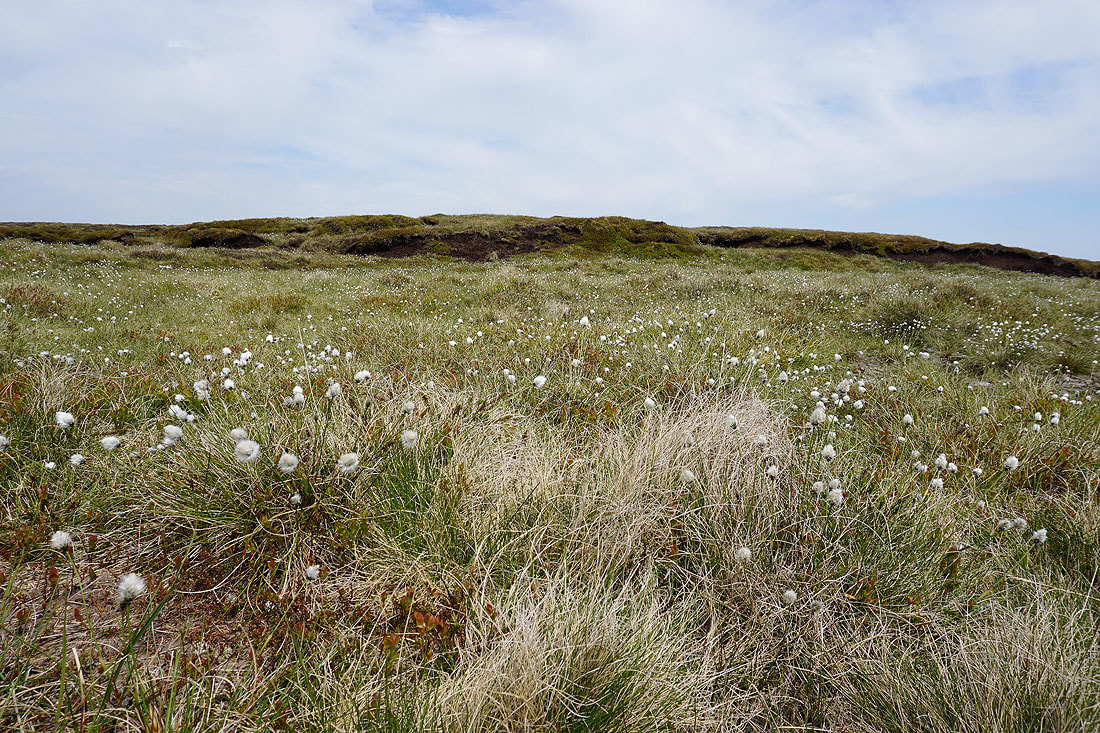
Cotton grass in flower
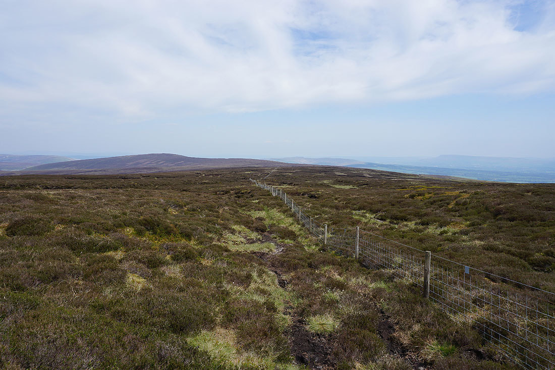
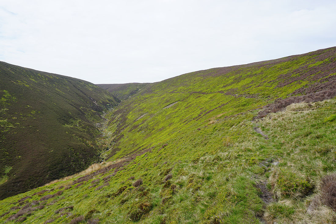
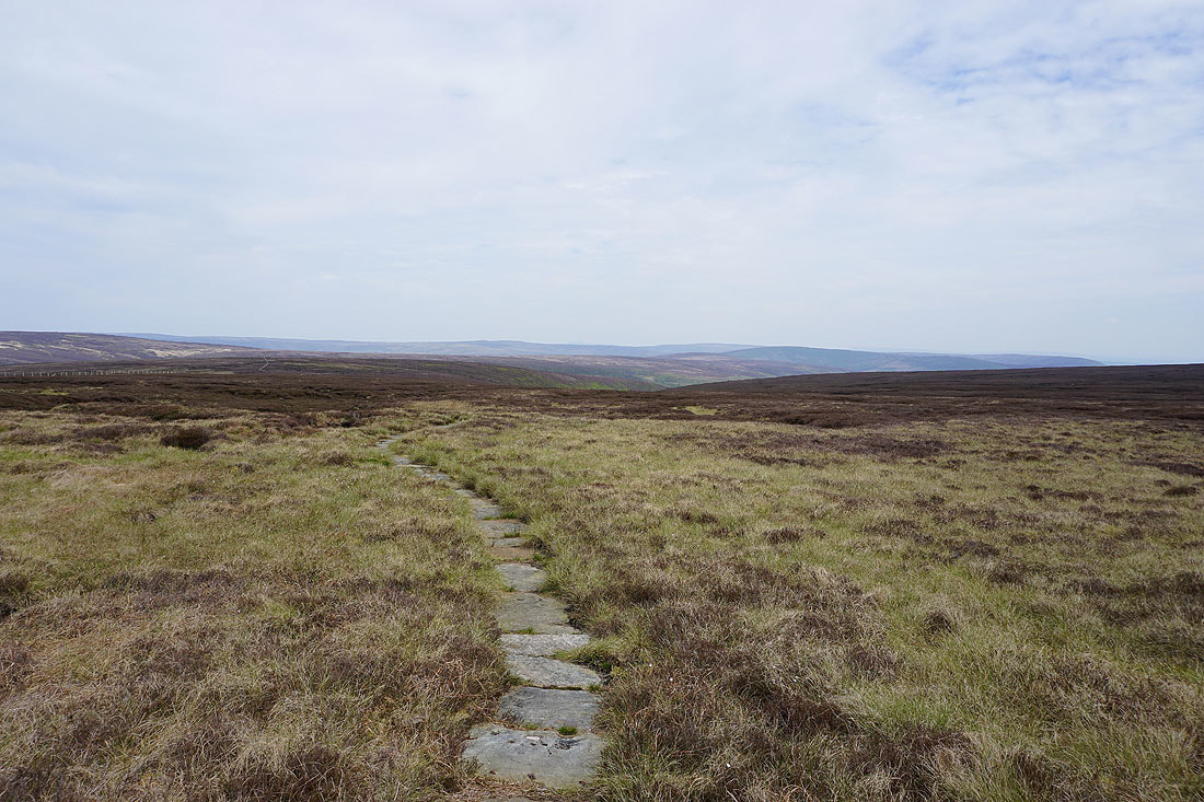
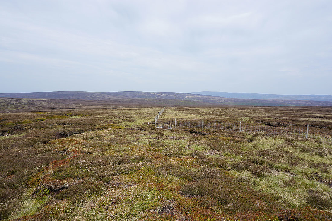
A long walk by this fence will take me to Totridge
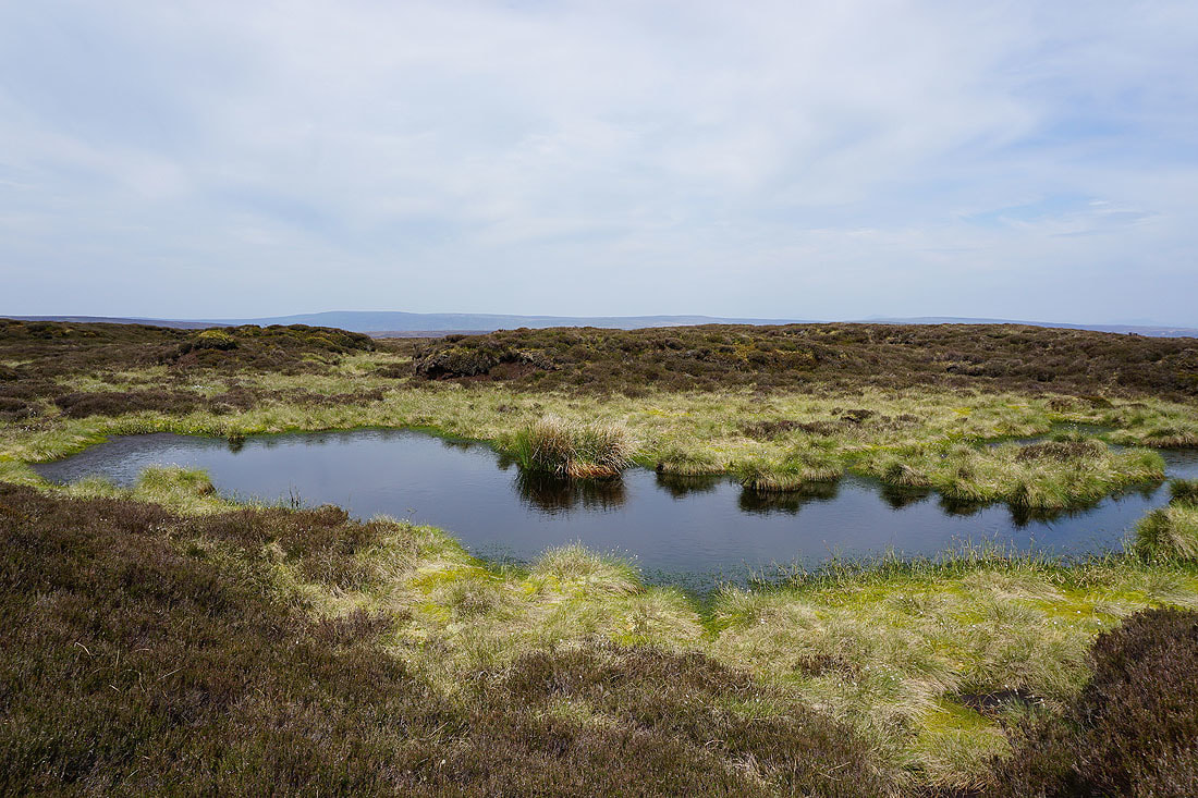
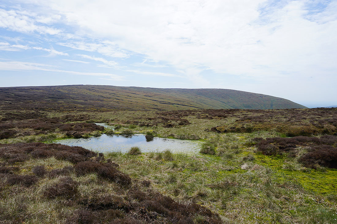
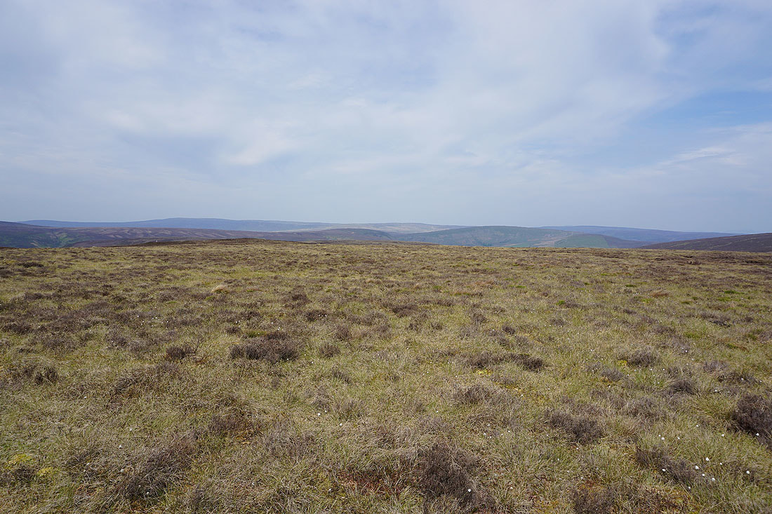
Despite all the recent dry weather Bowland still has its boggy bits
Heathery moors to the north
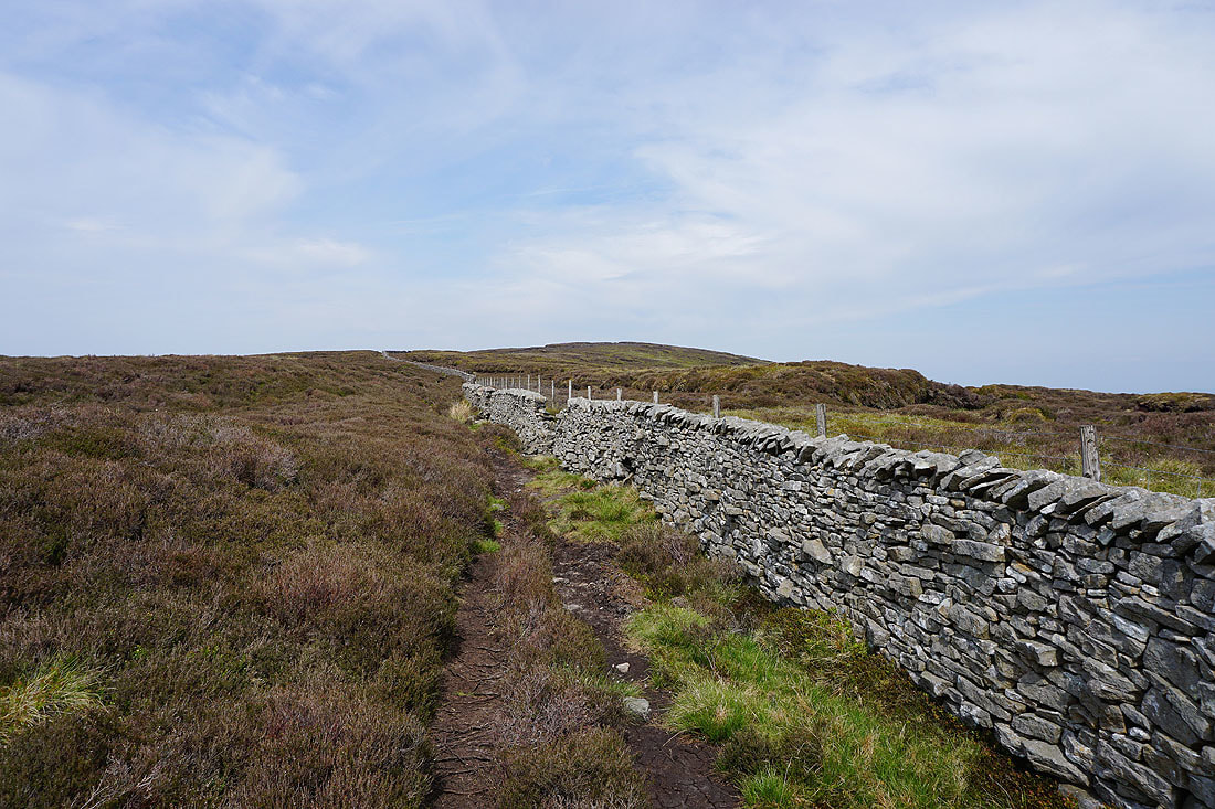
Joining this wall means that the top of Totridge isn't far away
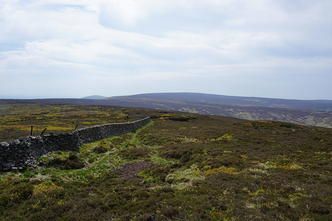
Looking back to Fair Snape Fell
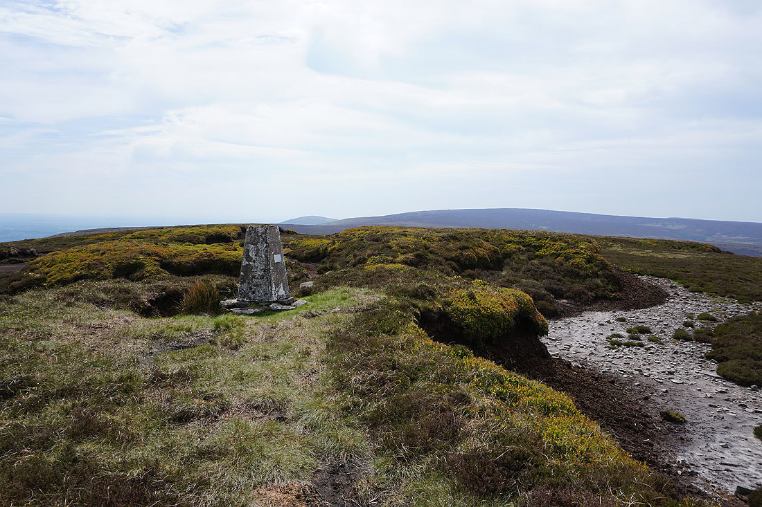
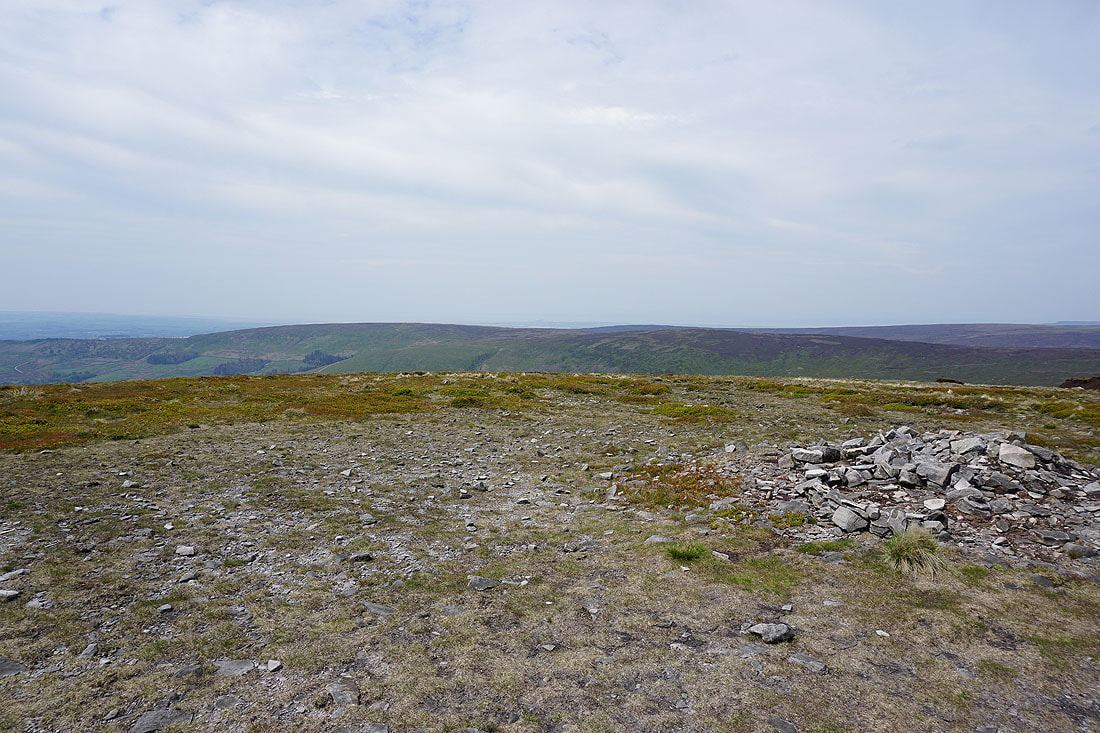
At the trig point on Totridge
Longridge Fell
Pendle Hill in the distance
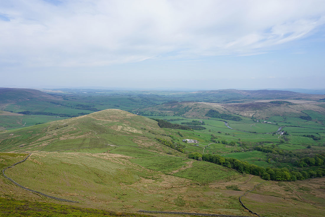
Mellor Knoll, the Hodder valley, Hodder Bank Fell and Easington Fell
The Trough of Bowland, Whins Brow and Staple Oak Fell
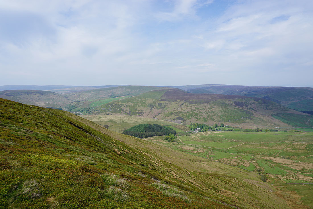
Heading down to Hareden Farm
Hareden Brook
Following the path by Langden Brook back to Langden Intake...