20th May 2023 - Dodd Fell Hill and Drumaldrace
Walk Details
Distance walked: 14.0 miles
Total ascent: 2176 ft
OS map used: OL30 - Yorkshire Dales, Northern & Central areas & OL2 - Yorkshire Dales, Southern & Western areas
Time taken: 7 hrs
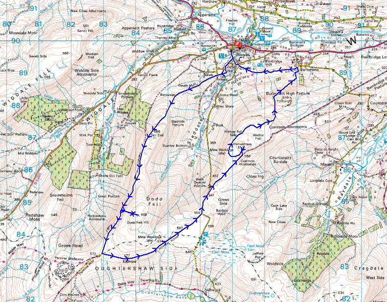
Route description: Hawes-Gayle-Pennine Way-Dodd Fell Hill-Pennine Way-Kidhow Gate-Cam High Road-Wether Fell-Drumaldrace-Wether Fell-Wether Fell Side-Burtersett High Pasture-Burtersett-Gayle-Hawes
There's a weekend of great spring weather forecast and I'm going to make the most of it by heading out for a walk on both days. I decided to head to Hawes in Wensleydale, in the Yorkshire Dales for my walk today, I'll be somewhere close to home for tomorrow's excursion. In the absence of being able to come up with a new route I went for one that I hadn't done for a few years, a circuit of Sleddale, taking in Dodd Fell Hill and Wether Fell. The last time I did this walk I took in the waterfall of Aysgill Force, via a relatively short detour, but given the lack of rain during recent weeks I decided to give it a miss on this occasion. All that dry (and warm) weather had dried out the moors, meaning an easy there and back visit to the trig point on Dodd Fell Hill. The forecast proved to be accurate and I enjoyed lots of blue skies and warm sunshine, and great visibility for taking in the views.
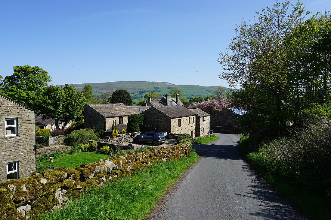
From the car park in Hawes I walked up the lane to Gayle and onto the trail of the Pennine Way. This makes its way through a housing estate before leaving Gayle to take to the fields to reach Gaudy Lane. I followed the trail up Gaudy Lane to its end, onto the open fell, up onto Ten End Peat Ground to where it joins the track of West Cam Road. I then walked south along West Cam Road until I spotted a little cairn on the hillside above to the left. This was the spot where I'd leave the track to make my ascent to the trig point on Dodd Fell Hill. A clear trod through the tussocks took me up to it, and after taking in the view, back down. Once back on the Pennine Way I continued south to reach the Cam High Road at Kidhow Gate. The Pennine Way was left behind here to follow the tarmacked Cam High Road east past where it leaves the tarmac and becomes a track across Wether Fell. I left the Cam High Road for a bridleway on the left, which I soon left to head up to the cairn of Drumaldrace on Wether Fell. Once I'd taken in the view I returned to the bridleway and followed it north and east across Wether Fell Side and onto to the bridleway down to Burtersett. Once down in Burtersett I took Shaws Lane west, then a footpath across fields to reach Gayle. I was then left with a short walk down the road back to Hawes.
Total ascent: 2176 ft
OS map used: OL30 - Yorkshire Dales, Northern & Central areas & OL2 - Yorkshire Dales, Southern & Western areas
Time taken: 7 hrs
Route description: Hawes-Gayle-Pennine Way-Dodd Fell Hill-Pennine Way-Kidhow Gate-Cam High Road-Wether Fell-Drumaldrace-Wether Fell-Wether Fell Side-Burtersett High Pasture-Burtersett-Gayle-Hawes
There's a weekend of great spring weather forecast and I'm going to make the most of it by heading out for a walk on both days. I decided to head to Hawes in Wensleydale, in the Yorkshire Dales for my walk today, I'll be somewhere close to home for tomorrow's excursion. In the absence of being able to come up with a new route I went for one that I hadn't done for a few years, a circuit of Sleddale, taking in Dodd Fell Hill and Wether Fell. The last time I did this walk I took in the waterfall of Aysgill Force, via a relatively short detour, but given the lack of rain during recent weeks I decided to give it a miss on this occasion. All that dry (and warm) weather had dried out the moors, meaning an easy there and back visit to the trig point on Dodd Fell Hill. The forecast proved to be accurate and I enjoyed lots of blue skies and warm sunshine, and great visibility for taking in the views.
From the car park in Hawes I walked up the lane to Gayle and onto the trail of the Pennine Way. This makes its way through a housing estate before leaving Gayle to take to the fields to reach Gaudy Lane. I followed the trail up Gaudy Lane to its end, onto the open fell, up onto Ten End Peat Ground to where it joins the track of West Cam Road. I then walked south along West Cam Road until I spotted a little cairn on the hillside above to the left. This was the spot where I'd leave the track to make my ascent to the trig point on Dodd Fell Hill. A clear trod through the tussocks took me up to it, and after taking in the view, back down. Once back on the Pennine Way I continued south to reach the Cam High Road at Kidhow Gate. The Pennine Way was left behind here to follow the tarmacked Cam High Road east past where it leaves the tarmac and becomes a track across Wether Fell. I left the Cam High Road for a bridleway on the left, which I soon left to head up to the cairn of Drumaldrace on Wether Fell. Once I'd taken in the view I returned to the bridleway and followed it north and east across Wether Fell Side and onto to the bridleway down to Burtersett. Once down in Burtersett I took Shaws Lane west, then a footpath across fields to reach Gayle. I was then left with a short walk down the road back to Hawes.
Route map
© Crown copyright. All rights reserved. License number PU 100034184.
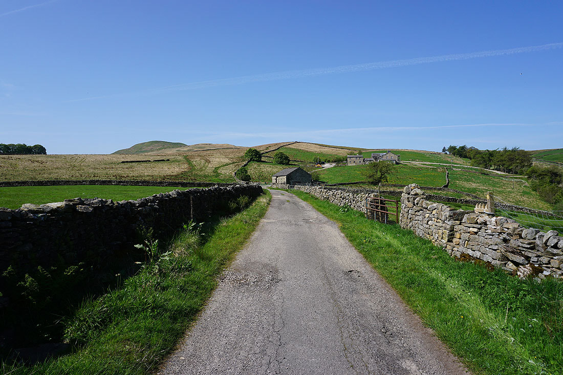
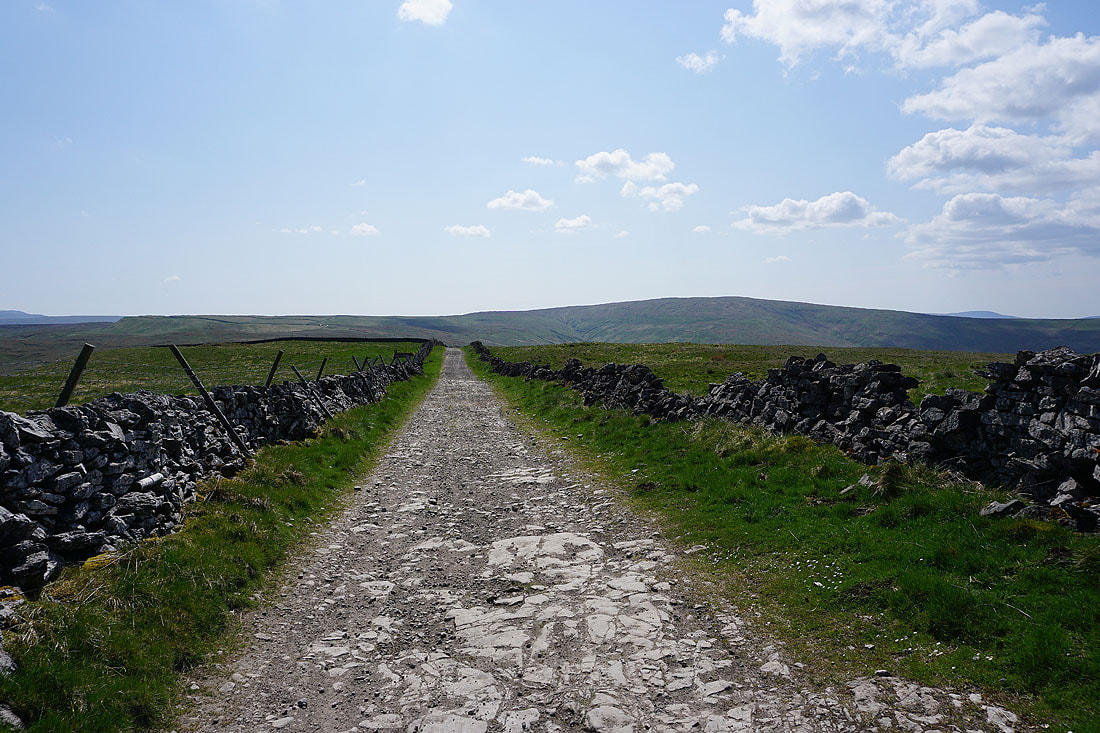
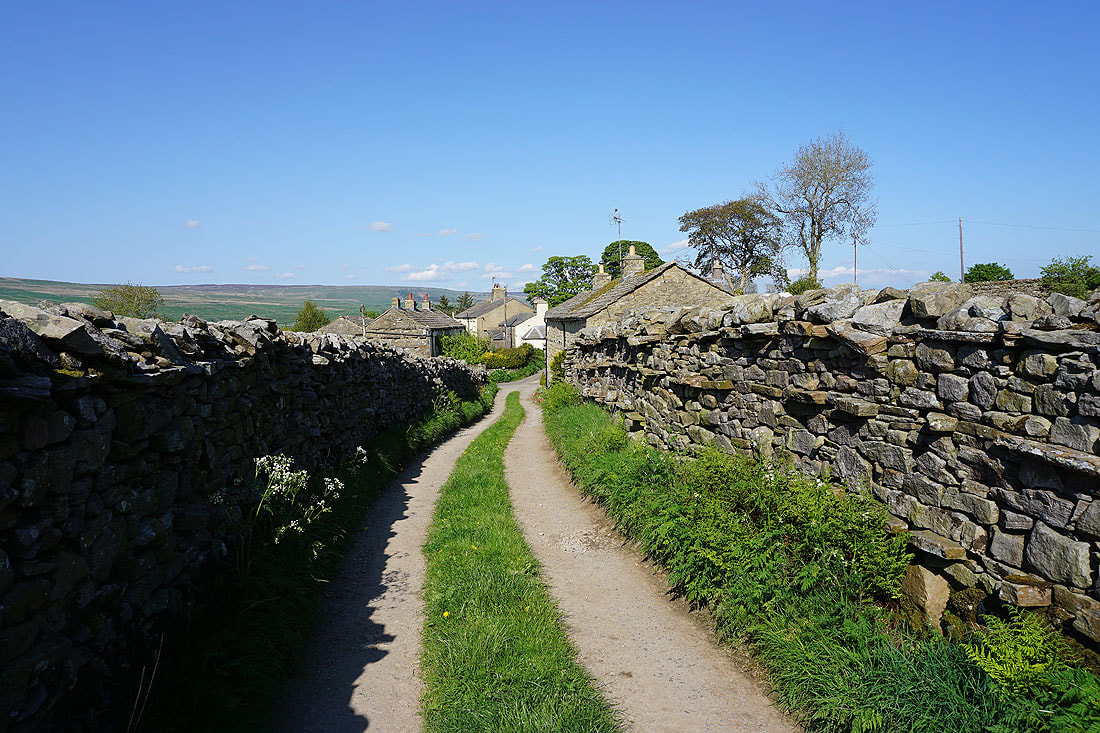
Leaving Gayle on the Pennine Way
It's a beautiful Wensleydale morning
Looking back with the hill of High Clints in the background
Above Gayle as the Pennine Way leaves it..
..and heads west to Gaudy Lane
Looking north across Wensleydale to the southern slopes of Great Shunner Fell and Lovely Seat..
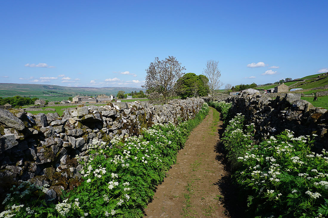
..and down Gaudy Lane towards Hawes
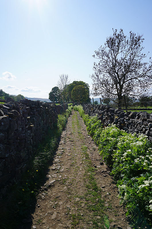
Heading west on the Pennine Way along Gaudy Lane
Onto access land above Gaudy Lane. Looking north across Wensleydale to Great Shunner Fell and Lovely Seat..
..and across Sleddale to Wether Fell

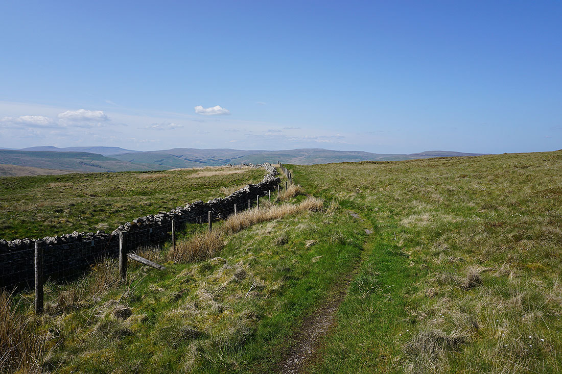
Looking back to Lovely Seat and Wensleydale as I follow the Pennine Way up onto Ten End Peat Ground
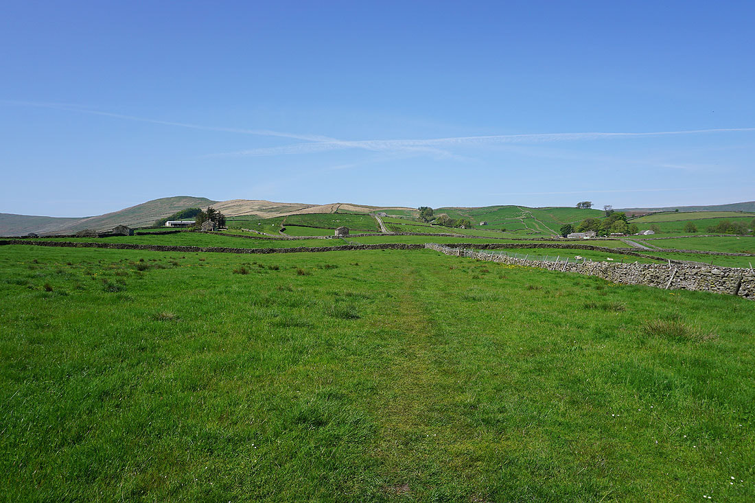
Crossing Ten End Peat Ground
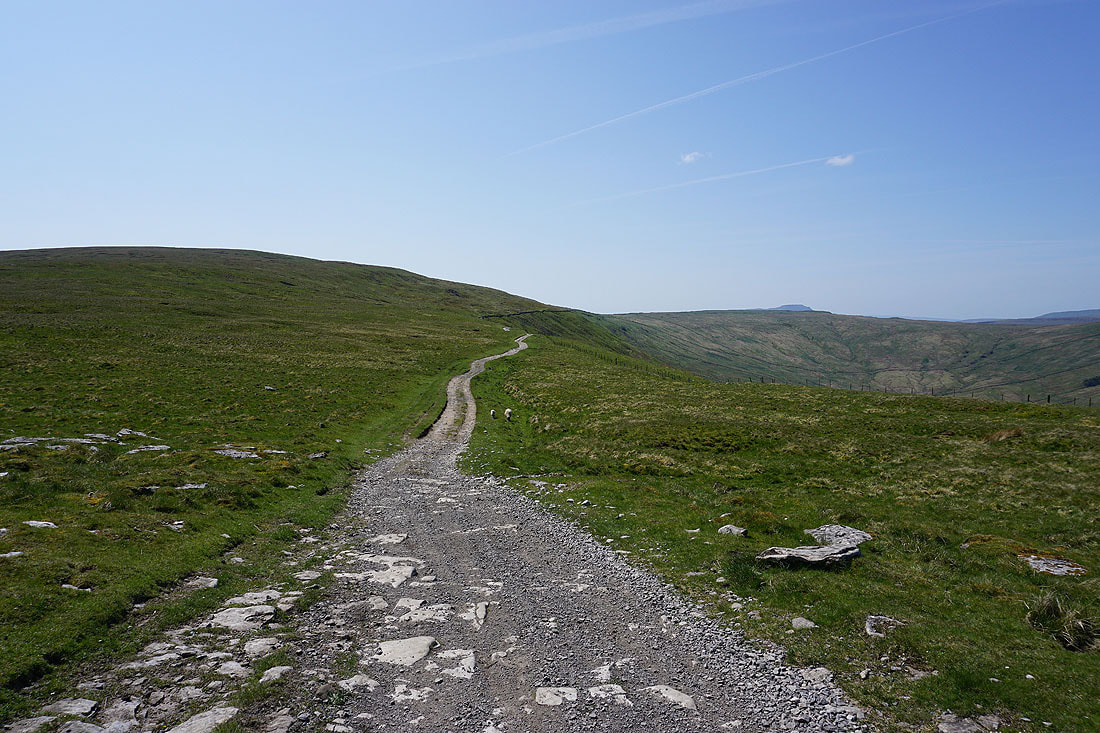
After crossing Ten End Peat Ground the Pennine Way descends to join the track of West Cam Road
Heading south on West Cam Road
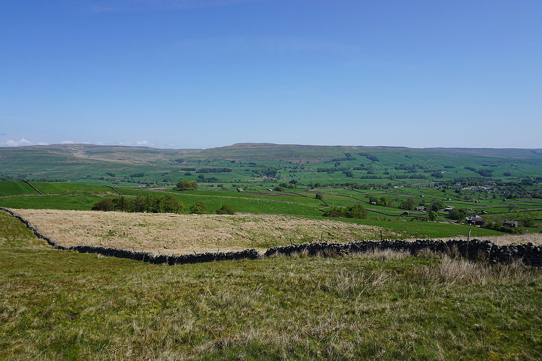
Looking back along West Cam Road towards Wensleydale
and across the valley of Snaizeholme Beck to Snaizeholme Fell, with Ingleborough and Whernside in the distance
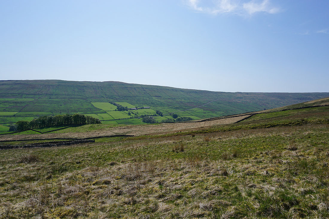
West Cam Road heads south and takes to the western flank of Dodd Fell Hill
Snaizeholme to my right, with Great Knoutberry Hill in the distance
Looking back along West Cam Road to Lunds Fell and Great Shunner Fell in the distance
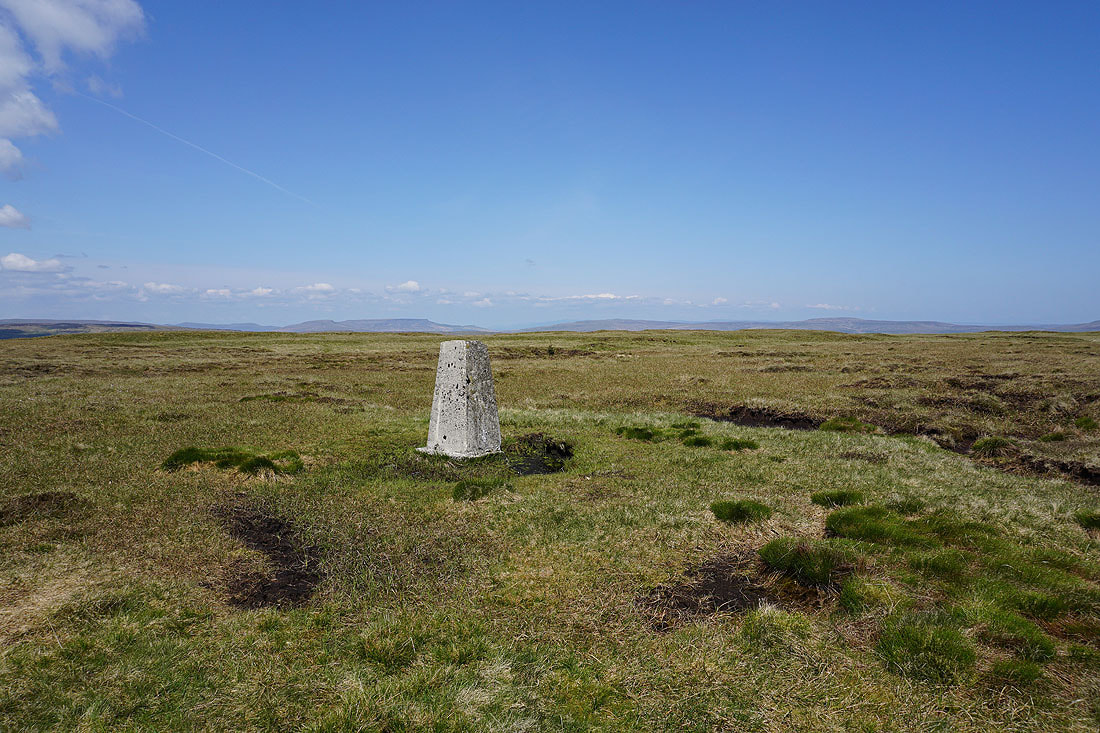
I'm keeping my eyes open for a small cairn a short distance up the hillside on my left. It's my cue to leave West Cam Road and make my way up to the trig point on Dodd Fell Hill.
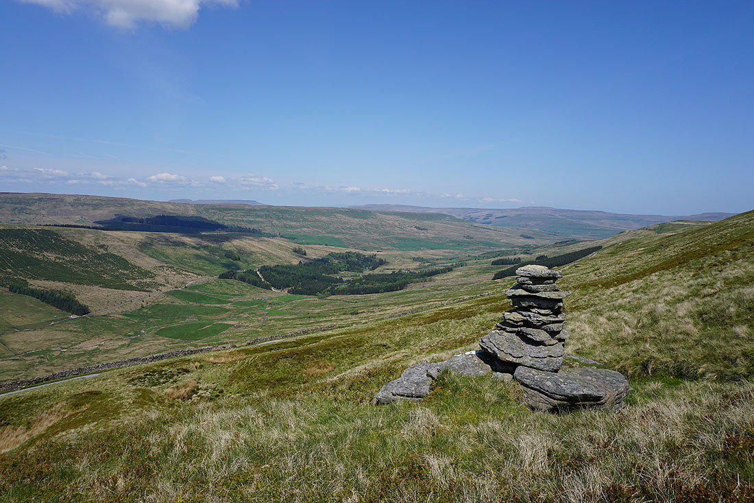
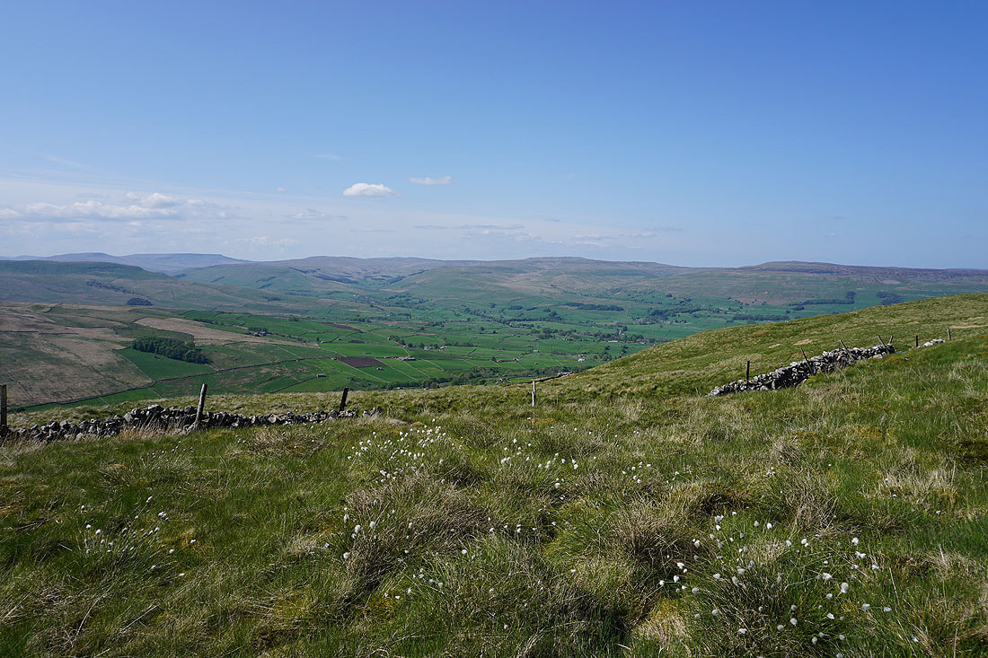
This is the cairn, and from it I have a view down Snaizeholme to Widdale and Widdale Fell
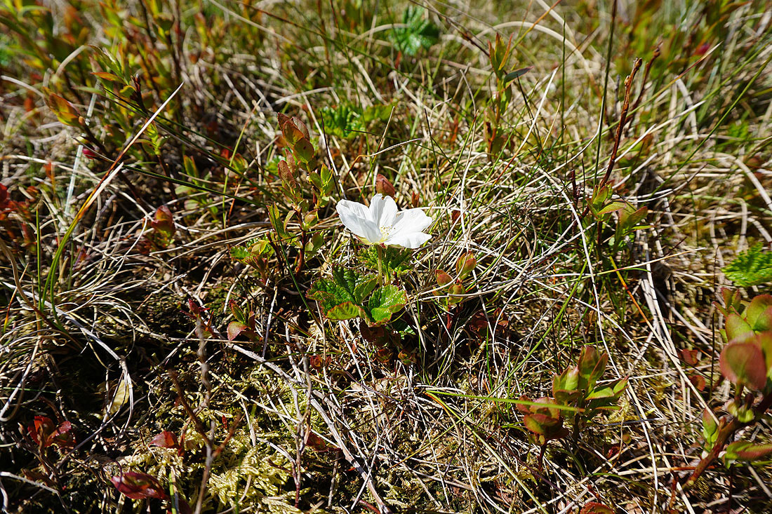
Cloudberry in flower
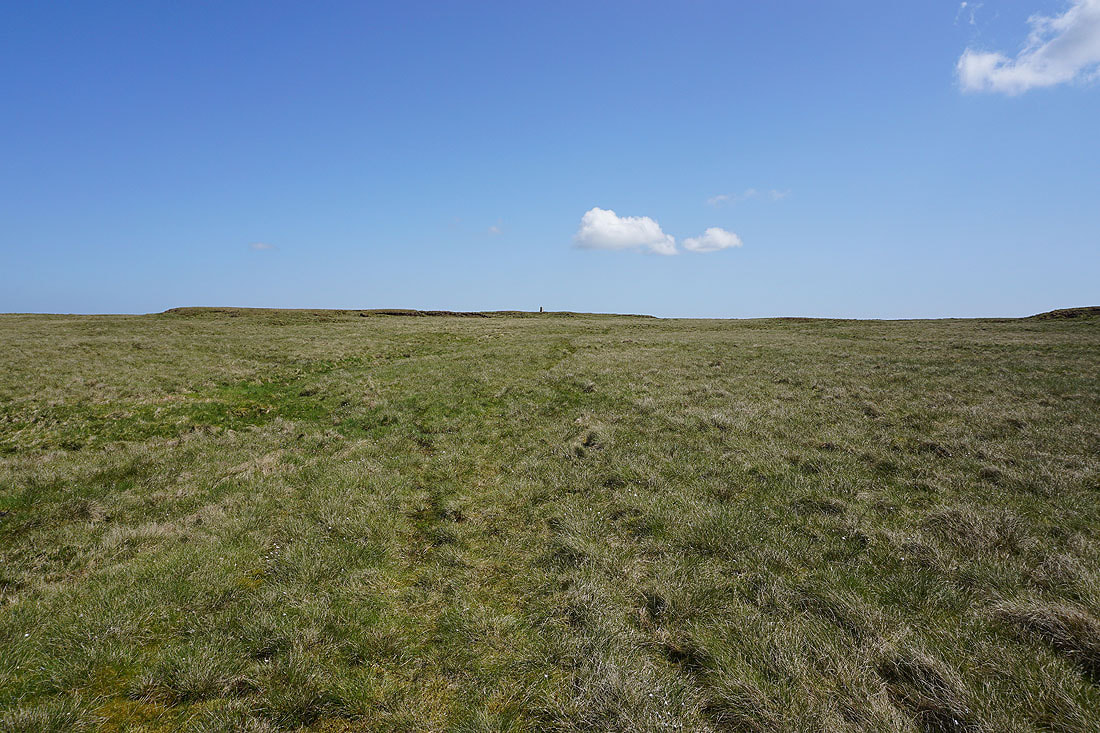
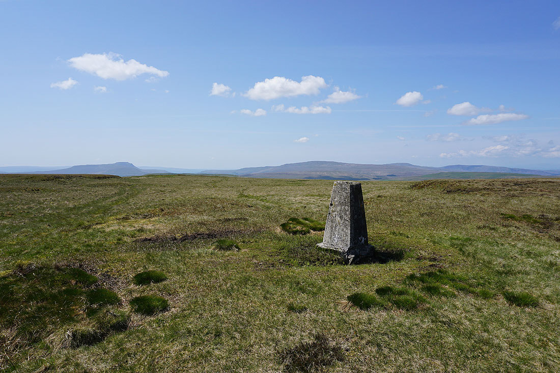
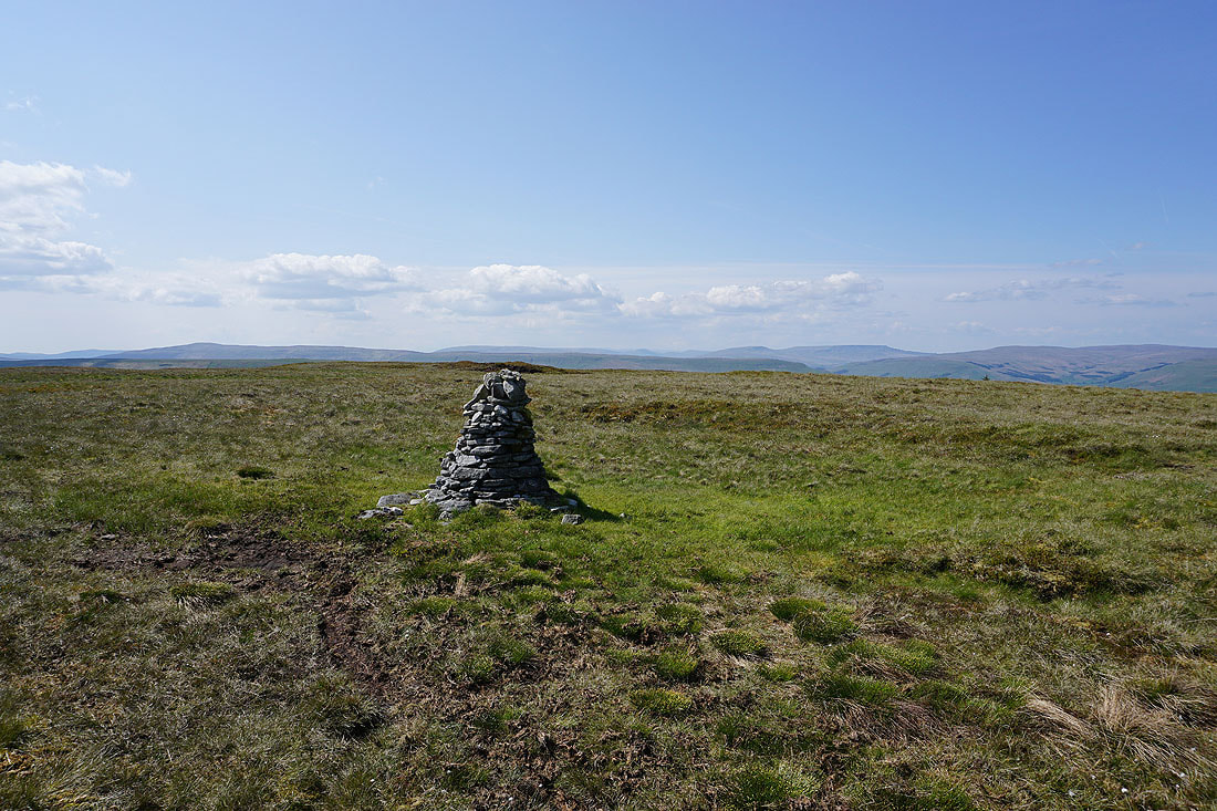
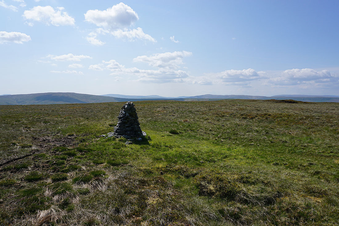
Approaching the trig point on Dodd Fell Hill. The ground was mostly nice and firm underfoot.
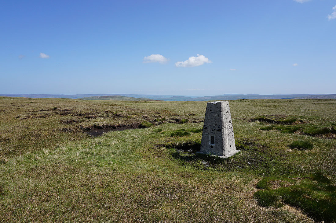
At the trig point on Dodd Fell Hill. Wether Fell, Addlebrough, and the moors lower down Wensleydale to the northeast.
Looking southwest and west to Ingleborough, Whernside, Great Coum, and Middleton Fell
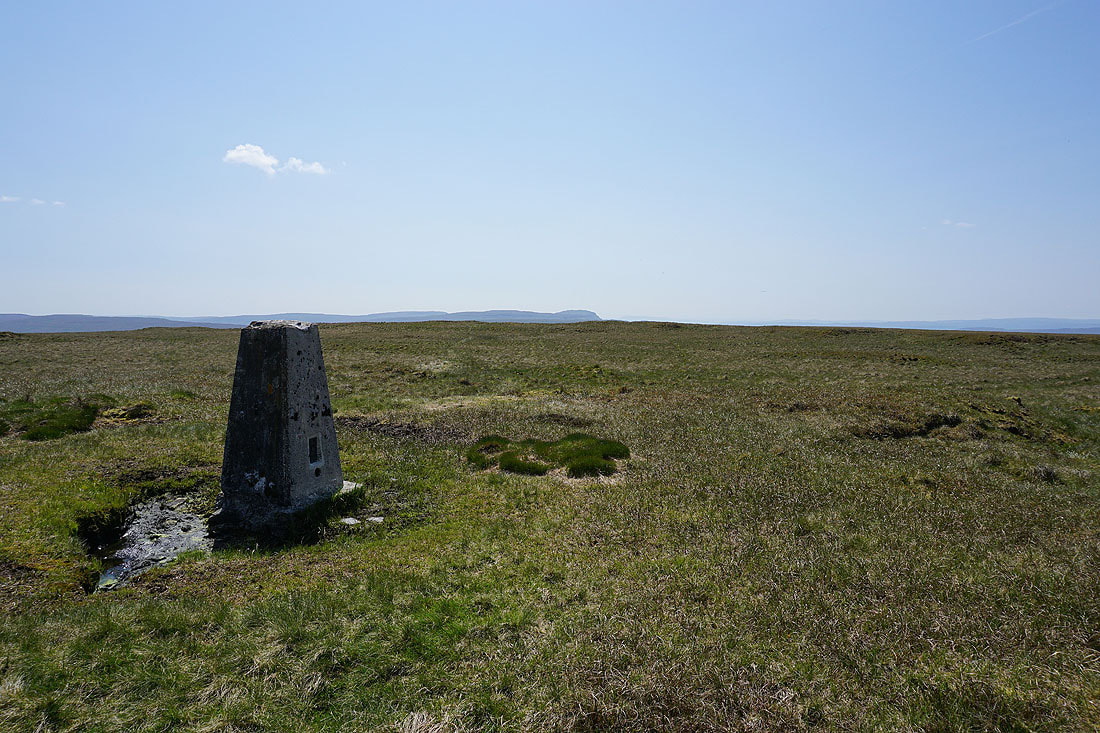
and south to Penyghent
Swarth Fell, Wild Boar Fell, Lunds Fell, and Great Shunner Fell to the northwest and north

Ingleborough, Gayle Moor, Whernside, Great Coum, and Middleton Fell to the southwest as I make my way back to West Cam Road

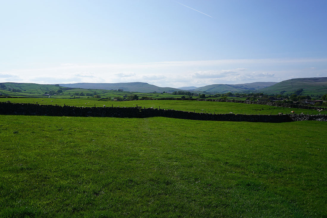
Following West Cam Road south
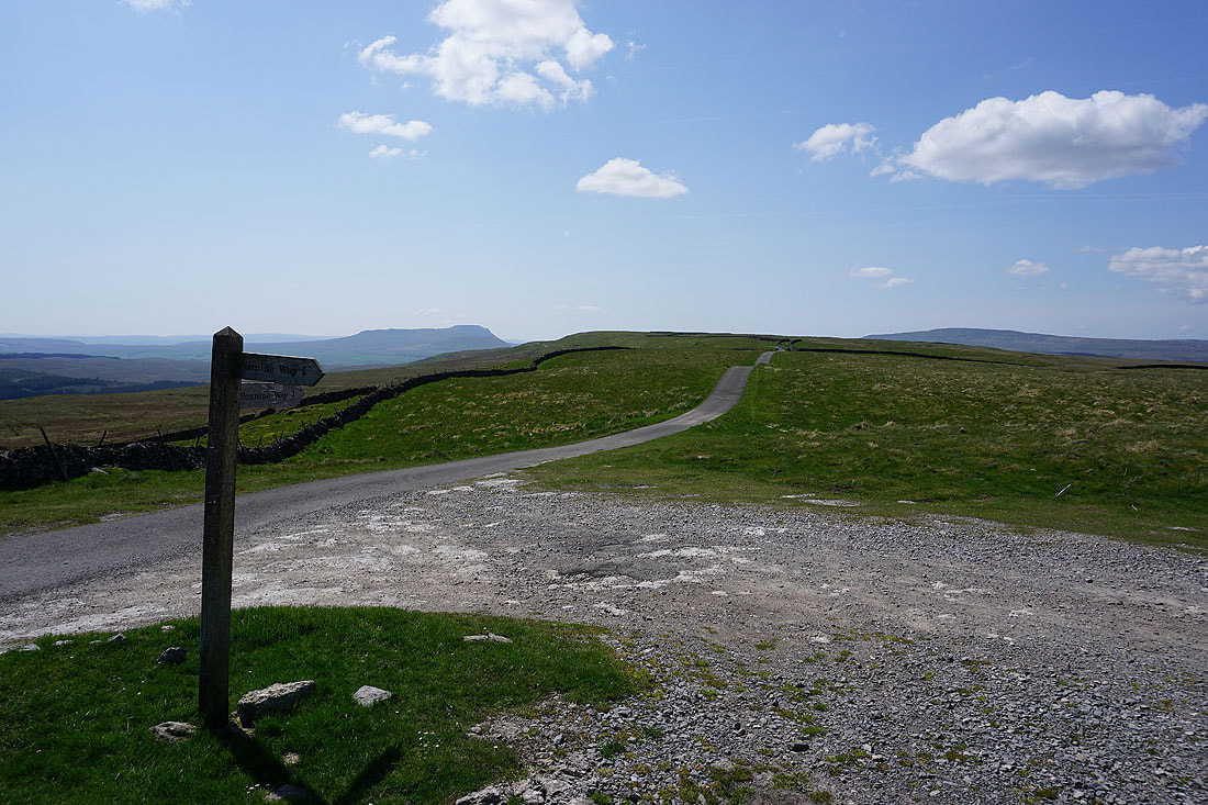
and this is where it meets the Cam High Road and I leave the Pennine Way, at Kidhow Gate. A remote and quiet spot to stop for a break and have my lunch.
Break had, I set off walking east along the Cam High Road

Penyghent and Ingleborough from the Cam High Road
To my right I can see down to Oughtershaw and into Langstrothdale
A last look back to Ingleborough
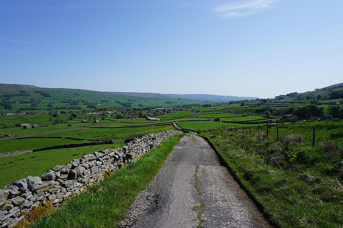
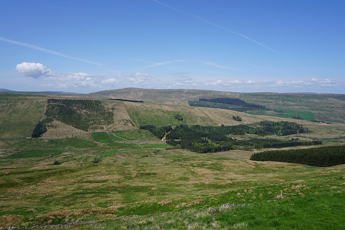
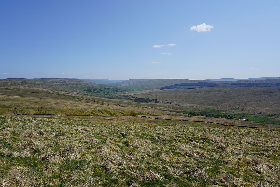
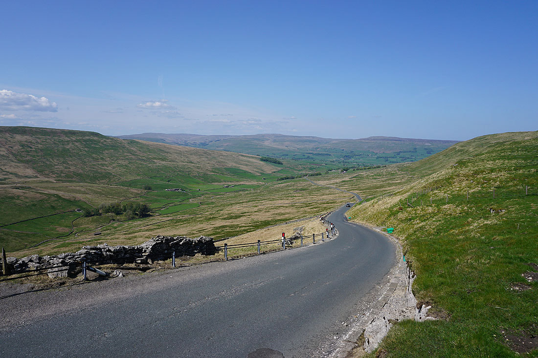
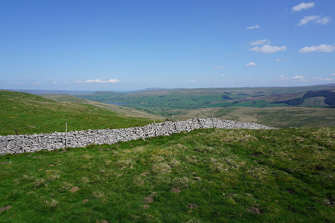
Approaching the junction with Oughtershaw Road and the view down Sleddale appears to my left
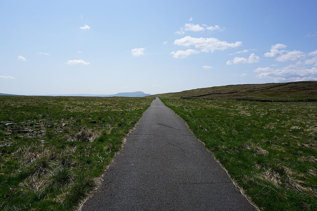
On Cam High Road to Wether Fell
Looking back to Dodd Fell Hill
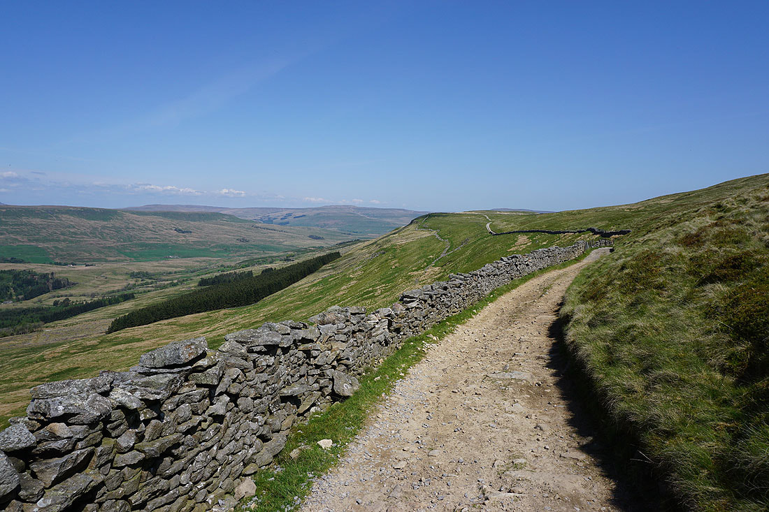
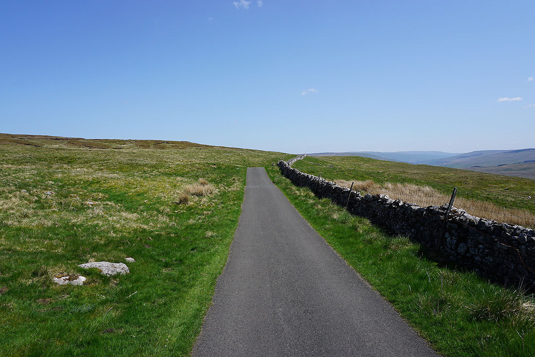
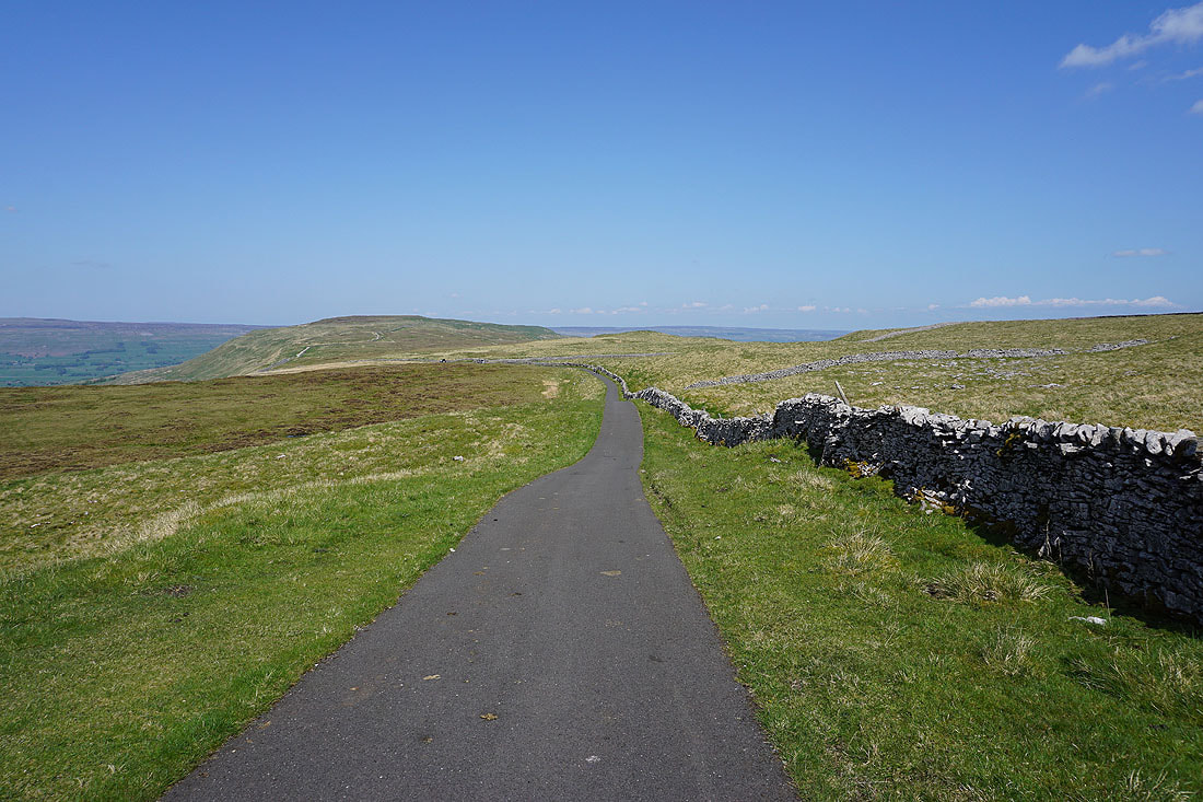
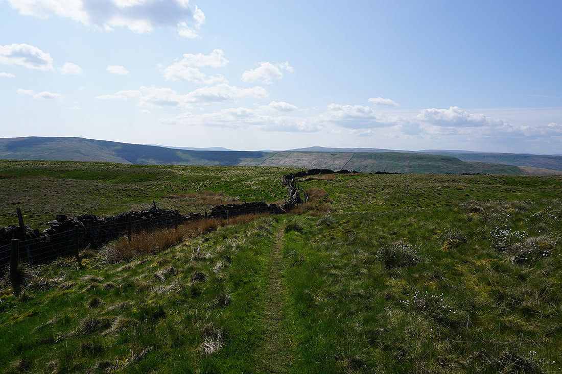
I leave the tarmacked road behind as it heads down Sleddale to Gayle and Hawes
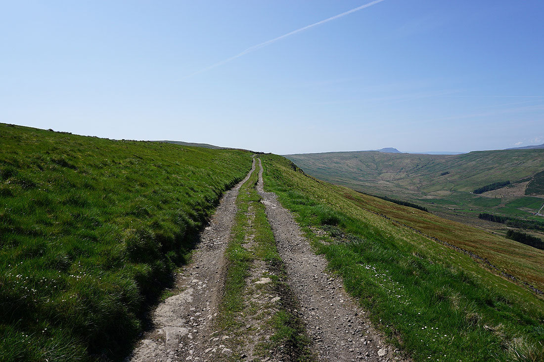
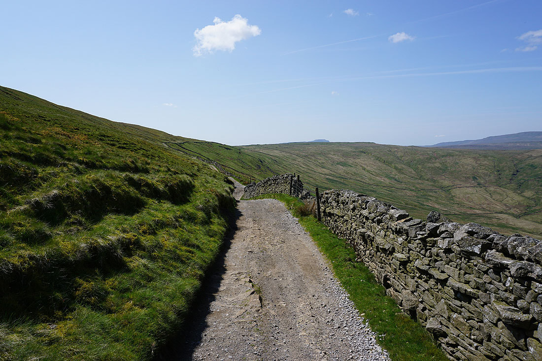
The Cam High Road continues east along the side of Wether Fell bound for Bainbridge
Dodd Fell Hill from Cam High Road
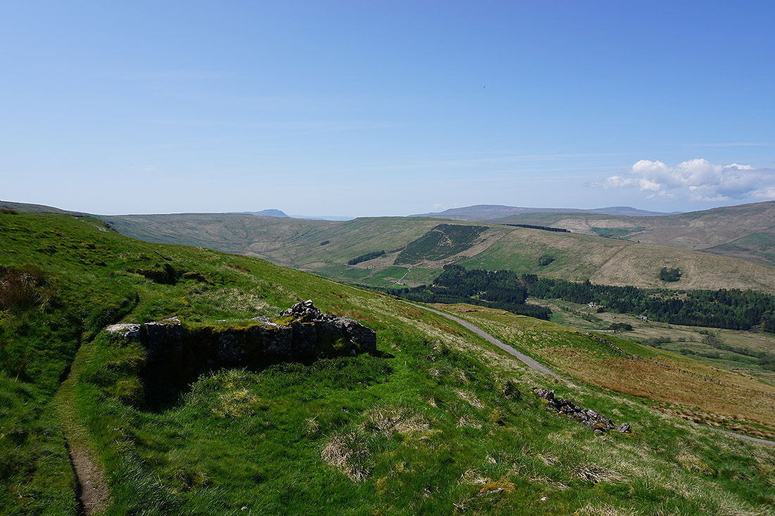
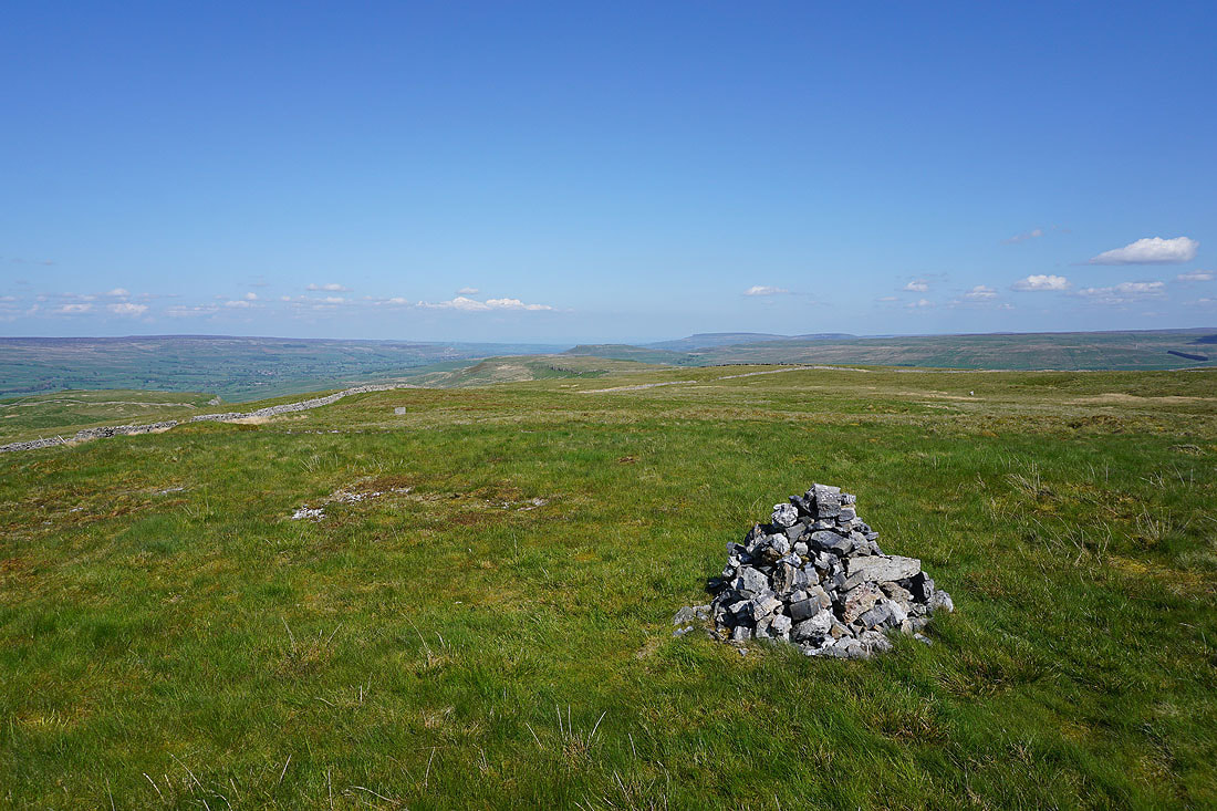
Before I head up to the cairn of Drumaldrace on the summit of Wether Fell, a look over the wall to my right into Raydale
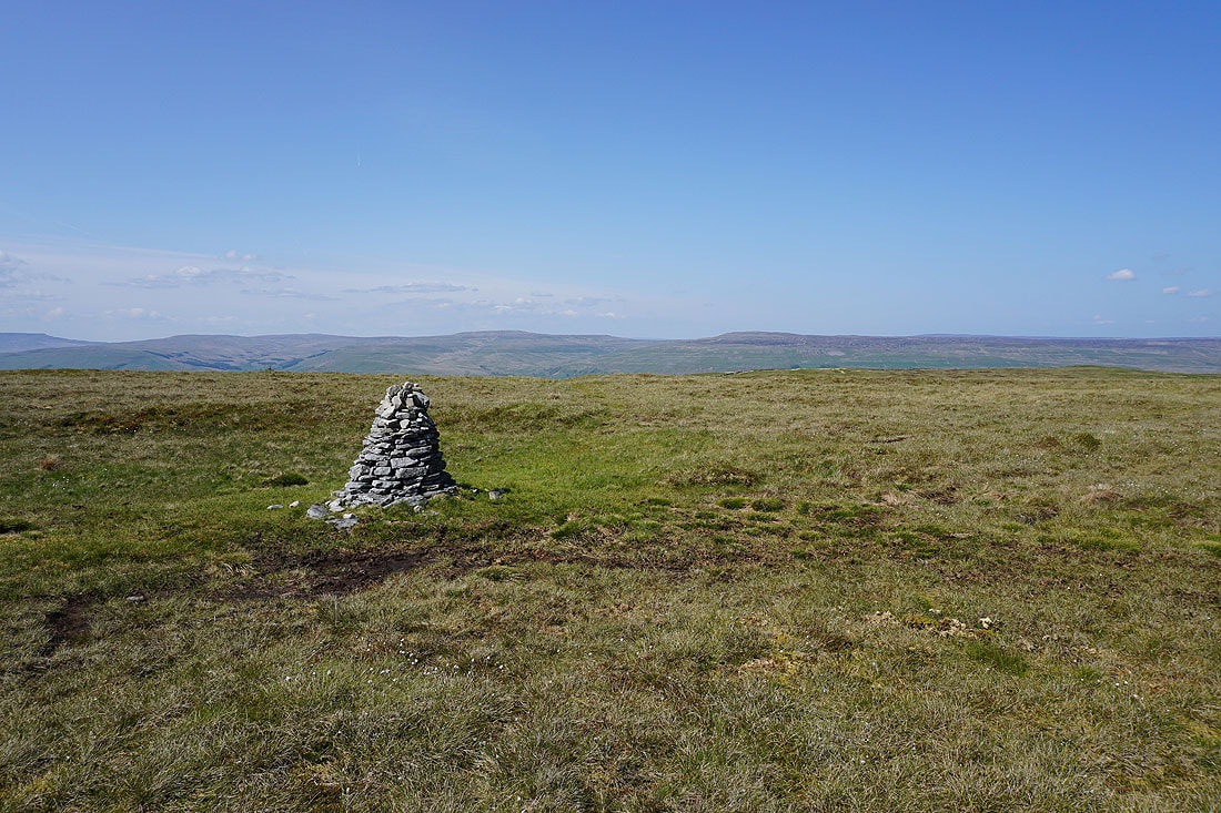
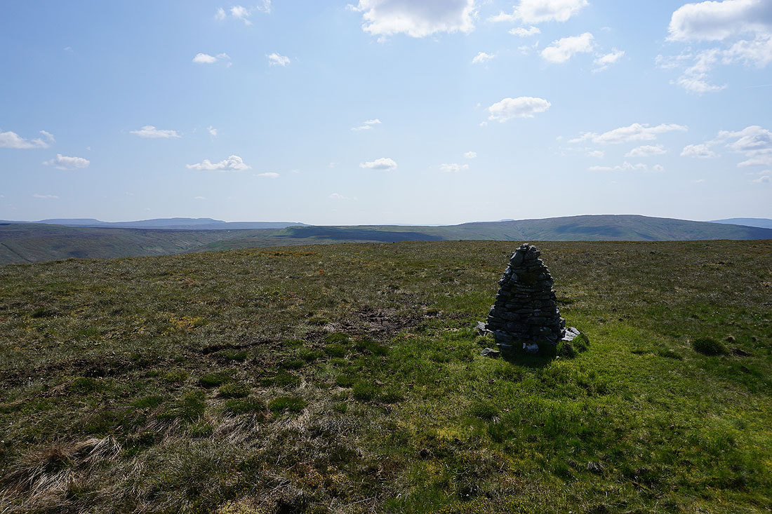
At the cairn of Drumaldrace on the summit of Wether Fell. Lunds Fell, Great Shunner Fell and Lovely Seat to the north.
Looking northwest to Great Knoutberry Hill, Baugh Fell, Swarth Fell, and Wild Boar Fell
and west to Dodd Fell Hill, Whernside, Great Coum, and Great Knoutberry Hill
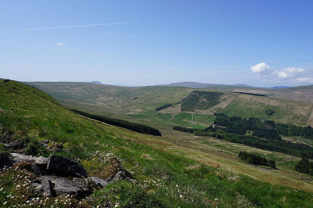
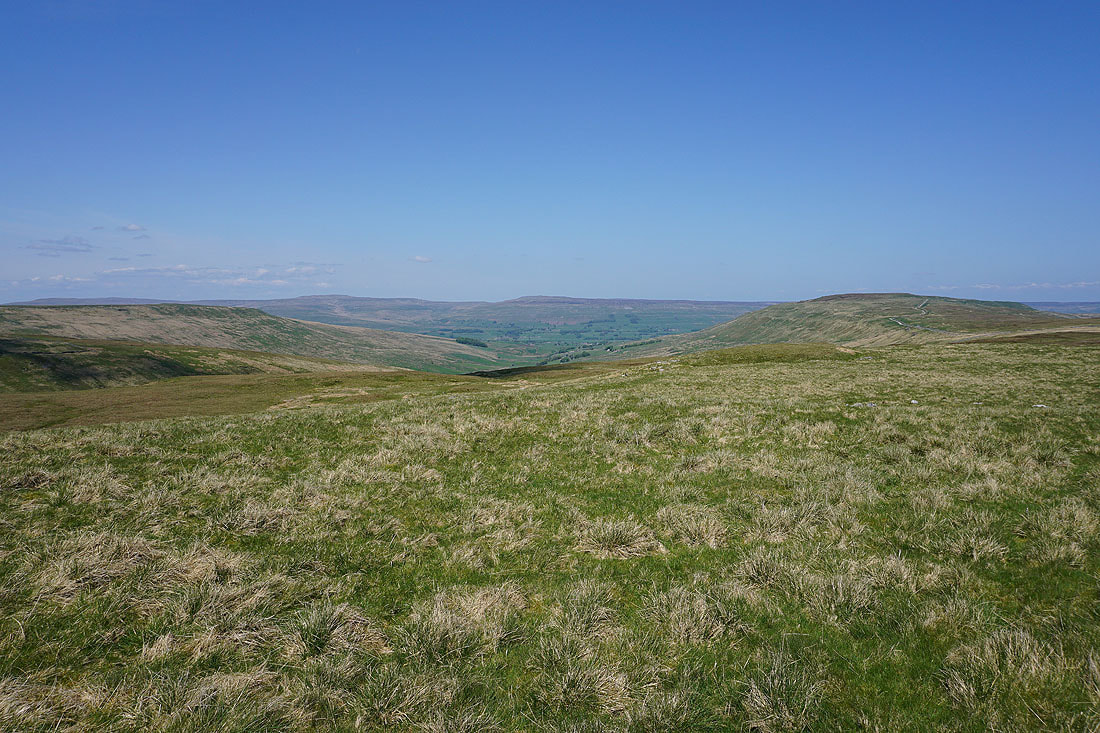
Fountains Fell and Penyghent in the distance on the left, and Dodd Fell Hill on the right
Finally, the moors to the north of Wensleydale in the distance on the left, with Addlebrough and the moorland of Stake Allotments above Raydale on the right
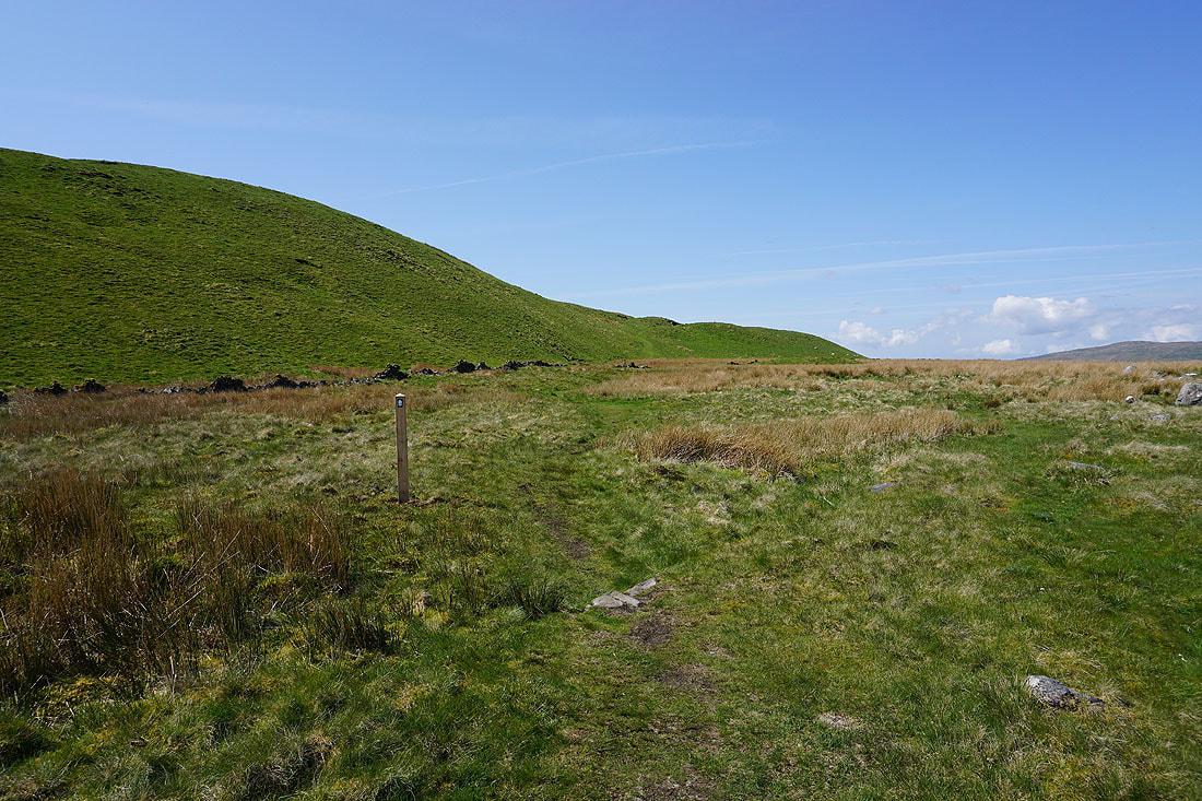
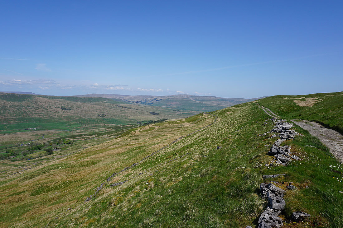
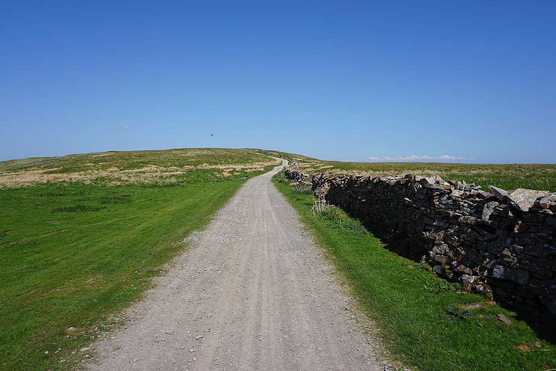
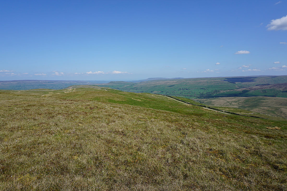
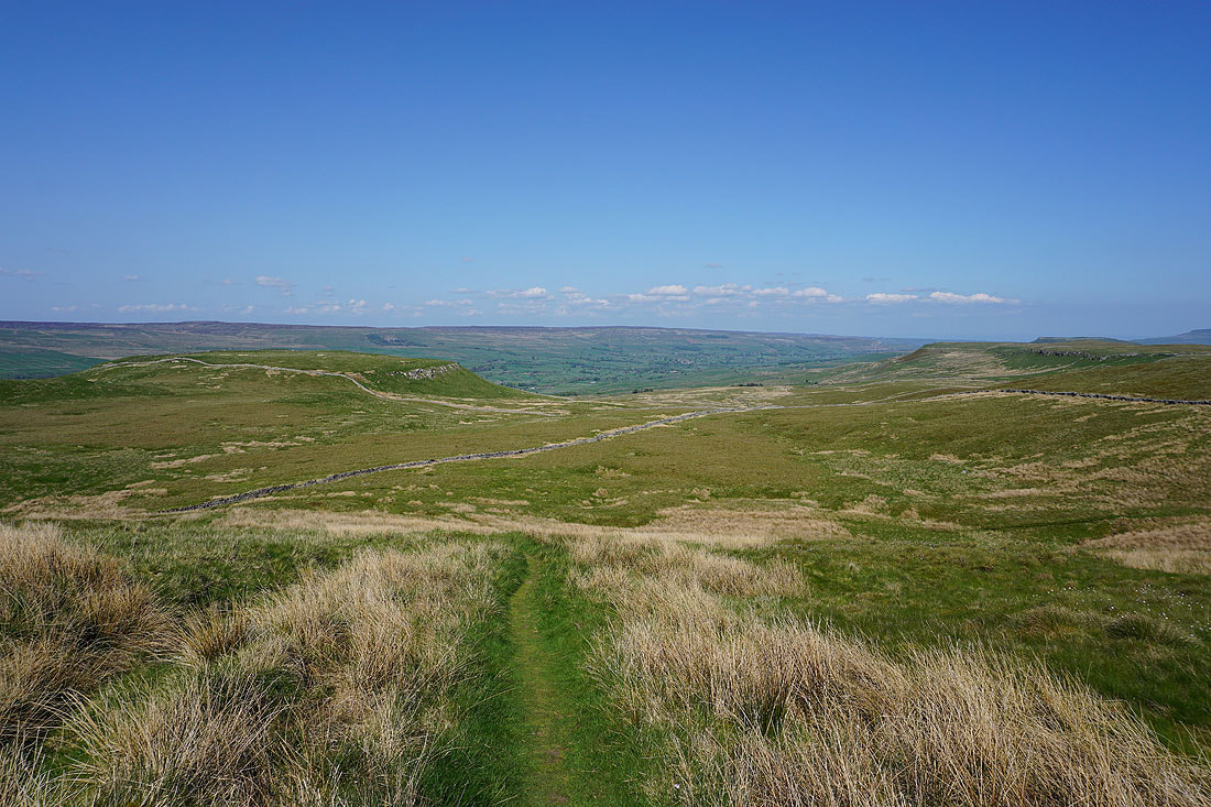
I leave the summit behind and follow the bridleway along the northern edge of the fell, which gives me improving views of the fells around the head of Wensleydale...
A cairn just above the bridleway gives me a view east down Wensleydale to Carperby Moor, Addlebrough, and Penhill
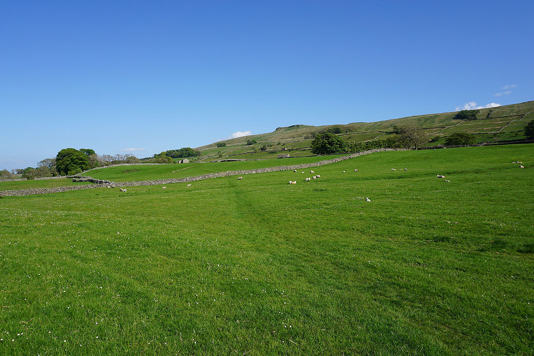
Following the bridleway down towards Yorburgh
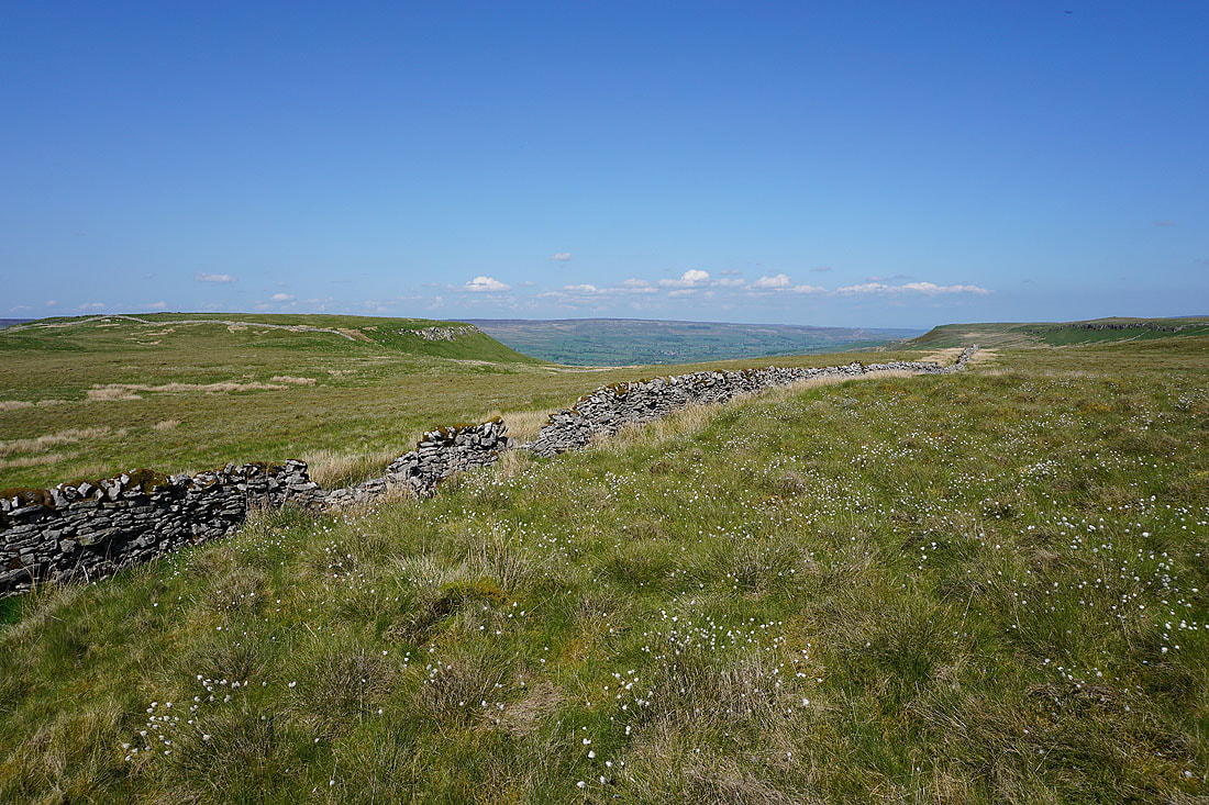
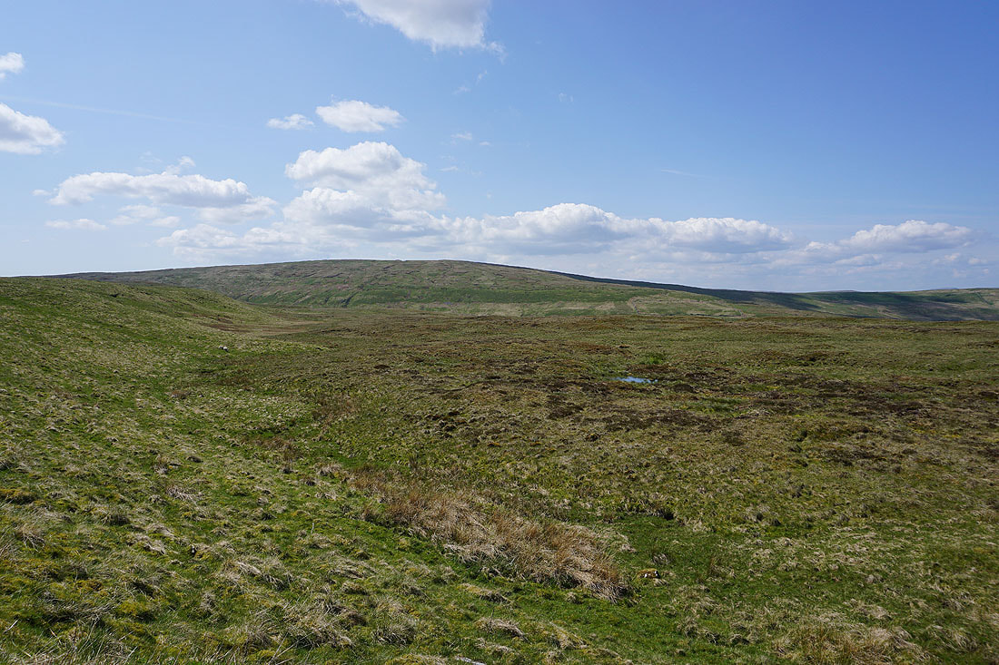
A carpet of cotton grass

Lots of mountain pansies in bloom

As the bridleway heads north towards Burtersett I get a view across Wensleydale to Lunds Fell, Great Shunner Fell, and Lovely Seat, with Hawes below..
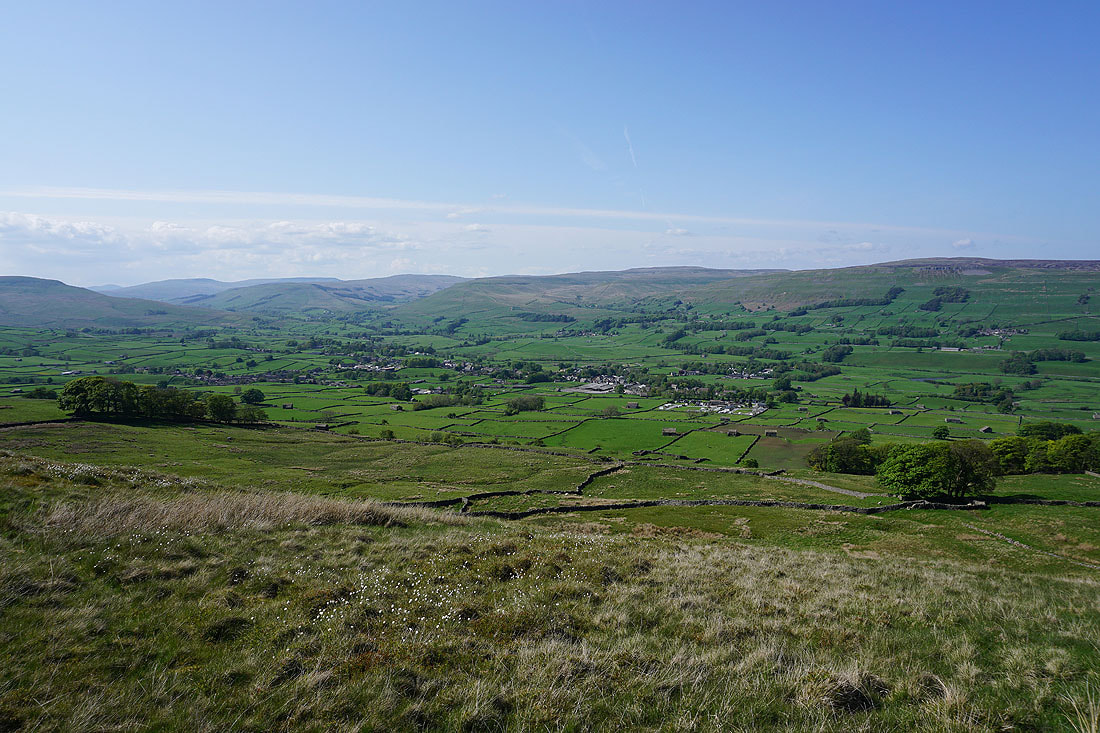
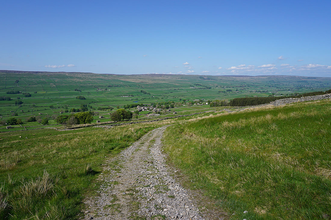
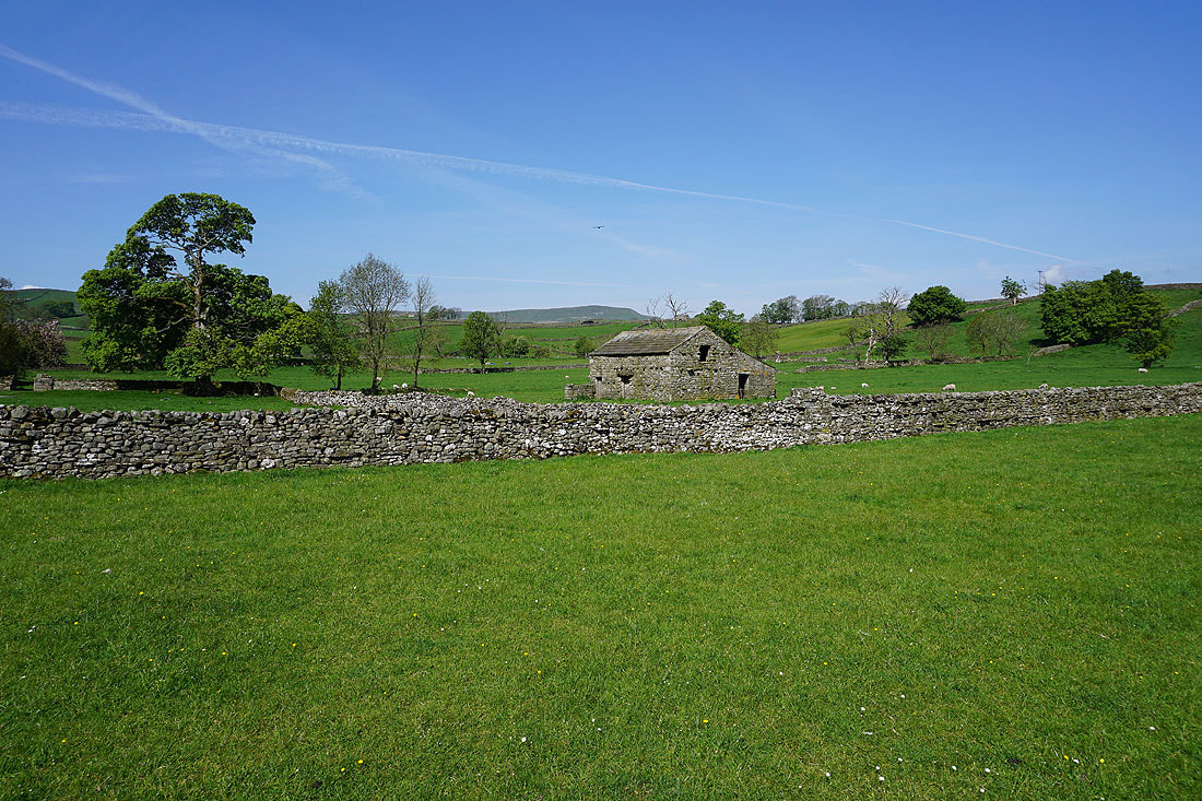
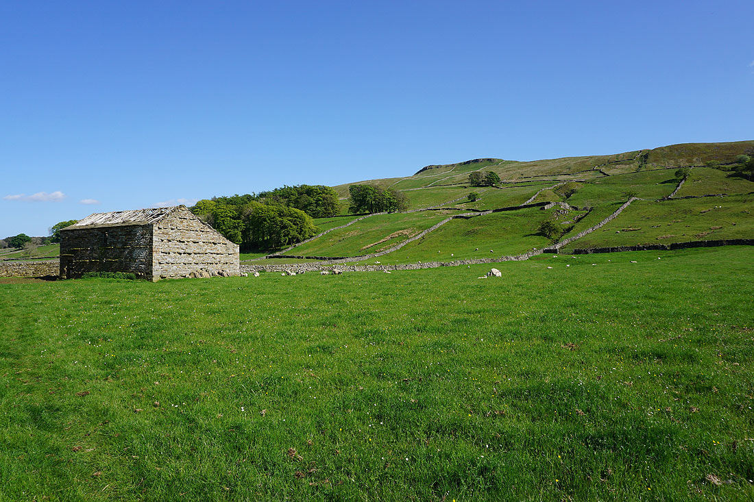
Heading down to Burtersett..
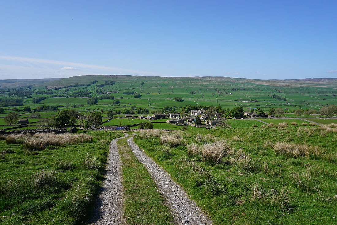
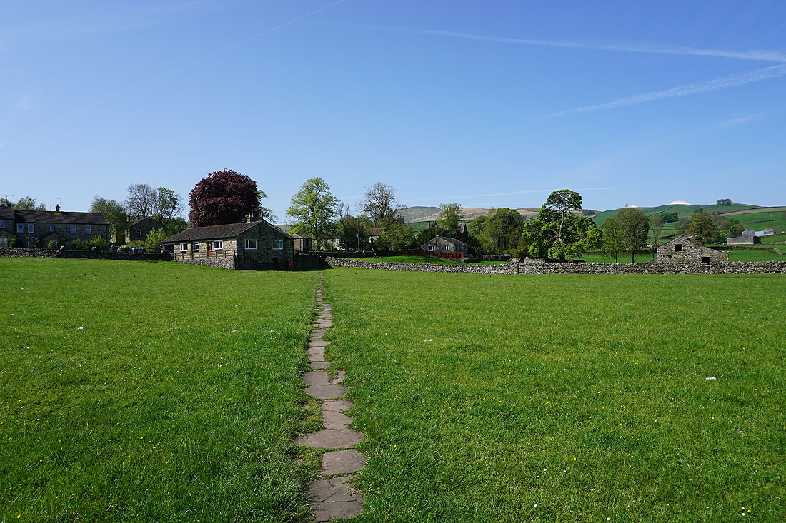
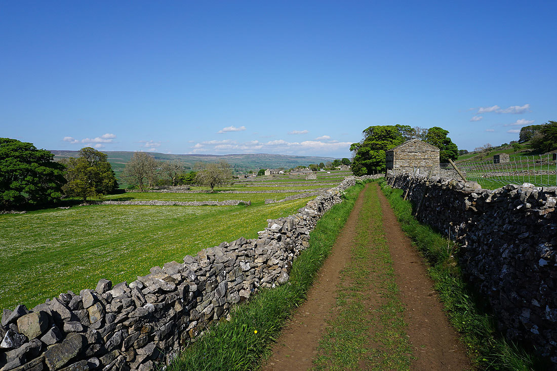
Leaving Burtersett behind..
..on Shaws Lane
A cow parsley (I think it might be Sweet Cicely) lined Shaws Lane
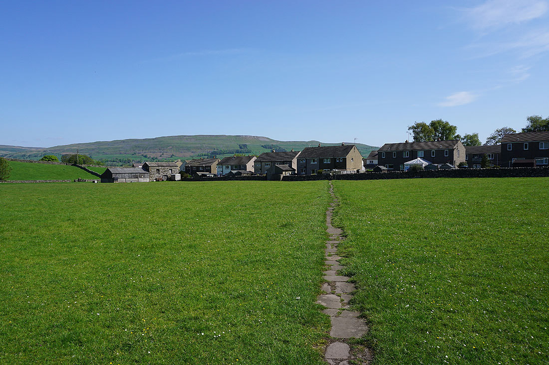
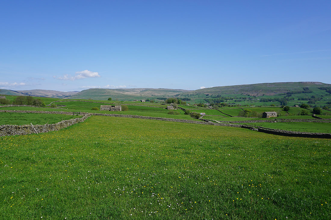
Buttercup and daisy filled fields as I reach the end of Shaws Lane
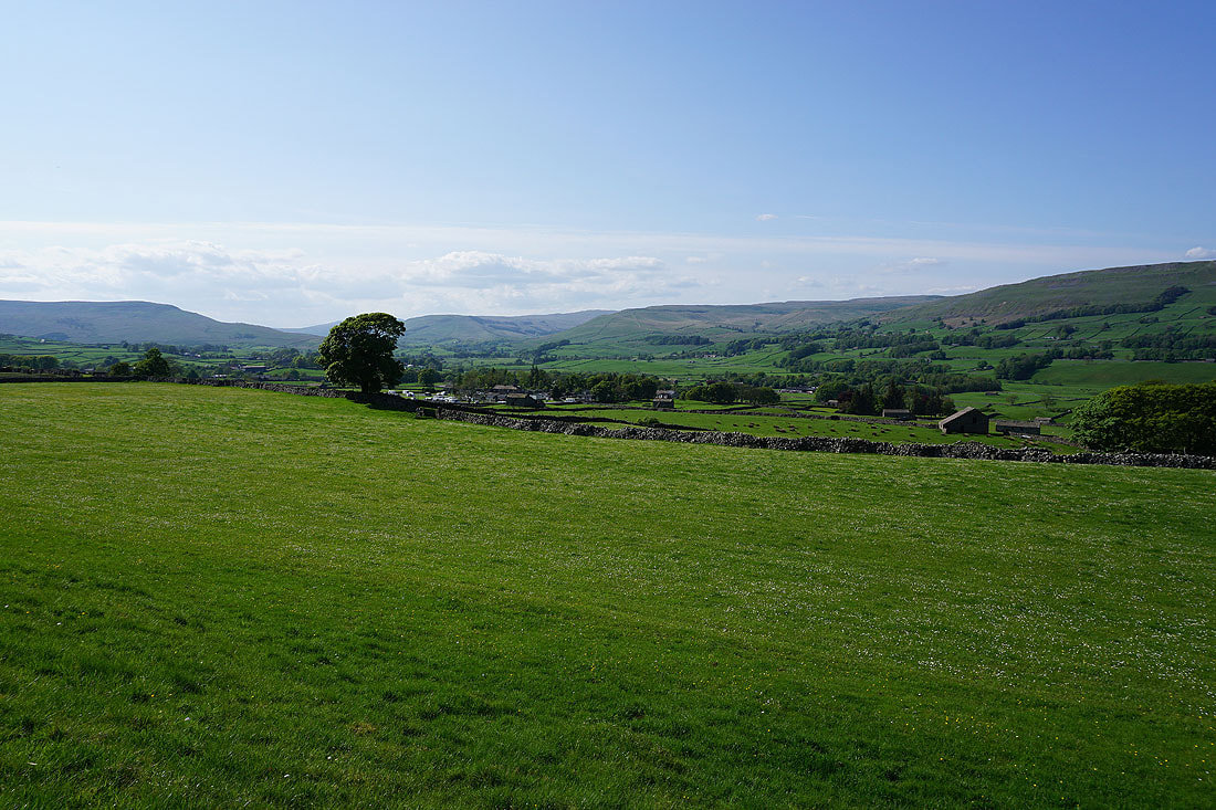
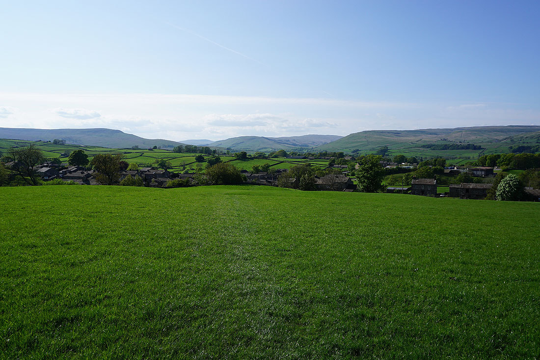
Great views across Wensleydale as I follow the path across fields to Gayle...


Behind me the fields rise to the craggy northern edge of Yorburgh
The fells around the head of Wensleydale in front of me
The northern slopes of Wether Fell..

Heading down to Gayle, and it's a lovely end to the afternoon
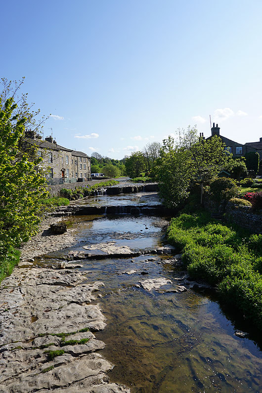
Crossing Gayle Beck on my way back to Hawes