20th November 2010 - Thorneythwaite Fell and High Doat
Walk Details
Distance walked: 6.5 miles
Total ascent: 2312 ft
OS map used: OL4 - The English Lakes, North-western area
Time taken: 6 hrs
Route description: Seatoller-Mountain View-Thorneythwaite Fell-Mountain View-Folly Bridge-Longthwaite-Tongue Gill-High Doat-Seatoller
When I set off on this walk I had planned to walk to Glaramara but a change in the weather put paid to that. As I was walking up Thorneythwaite Fell the blue skies and sunshine suddenly disappeared to be replaced by low cloud, hill fog and a strong wind. I've already been up Glaramara a few times so I decided to turn around and continue the walk down in Borrowdale with a walk by the Derwent and up to the summit of High Doat before returning to Seatoller.
Route map
© Crown copyright. All rights reserved. License number PU 100034184.
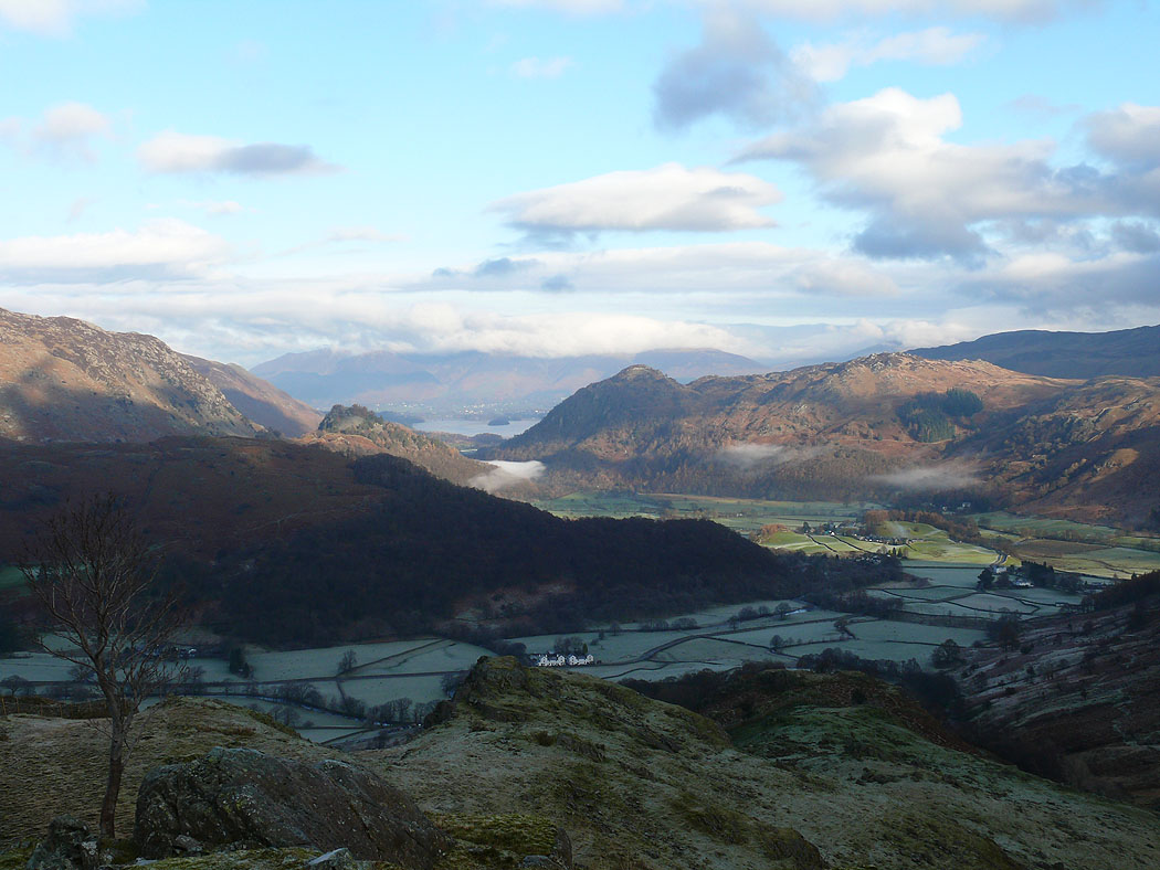
Frosty fields in Borrowdale on the climb up Thorneythwaite Fell
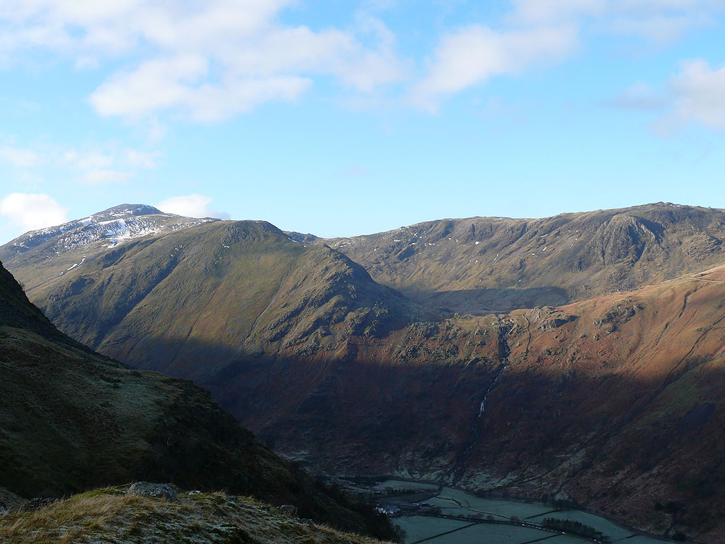
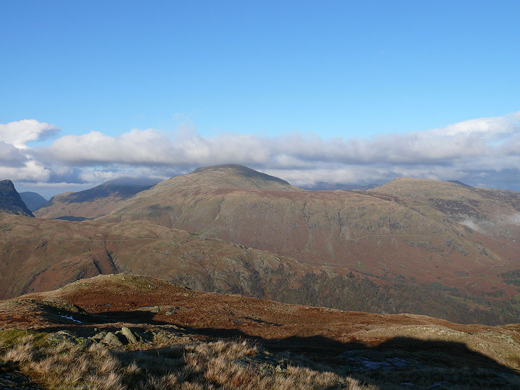
The view across to Great Gable, Base Brown and the hanging valley of Gillercomb
Borrowdale from higher up
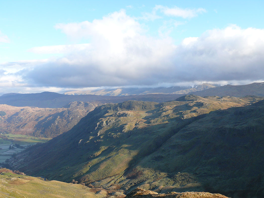
Bessyboot with a cloud covered Helvellyn range in the distance
Dale Head and High Spy
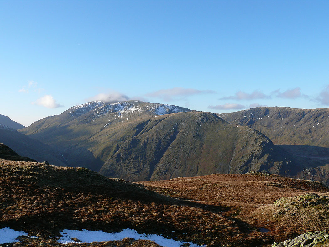
Cloud starting to form on Great Gable
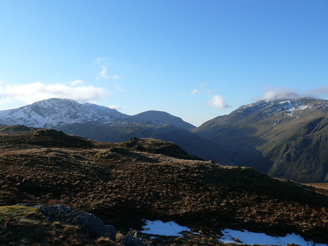
Great End, Lingmell and Great Gable. This was the last picture I took for a while. The cloud suddenly came down so I made my way back down to Borrowdale.
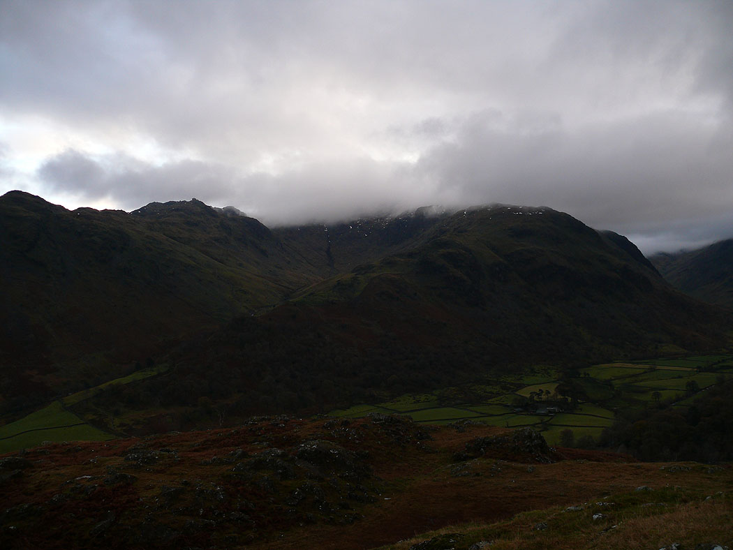
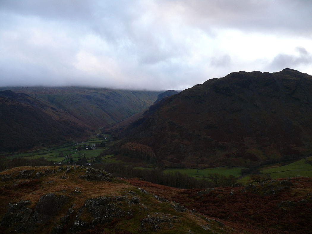
On High Doat. The ridge of Thorneythwaite Fell leads up to a cloud covered Glaramara.
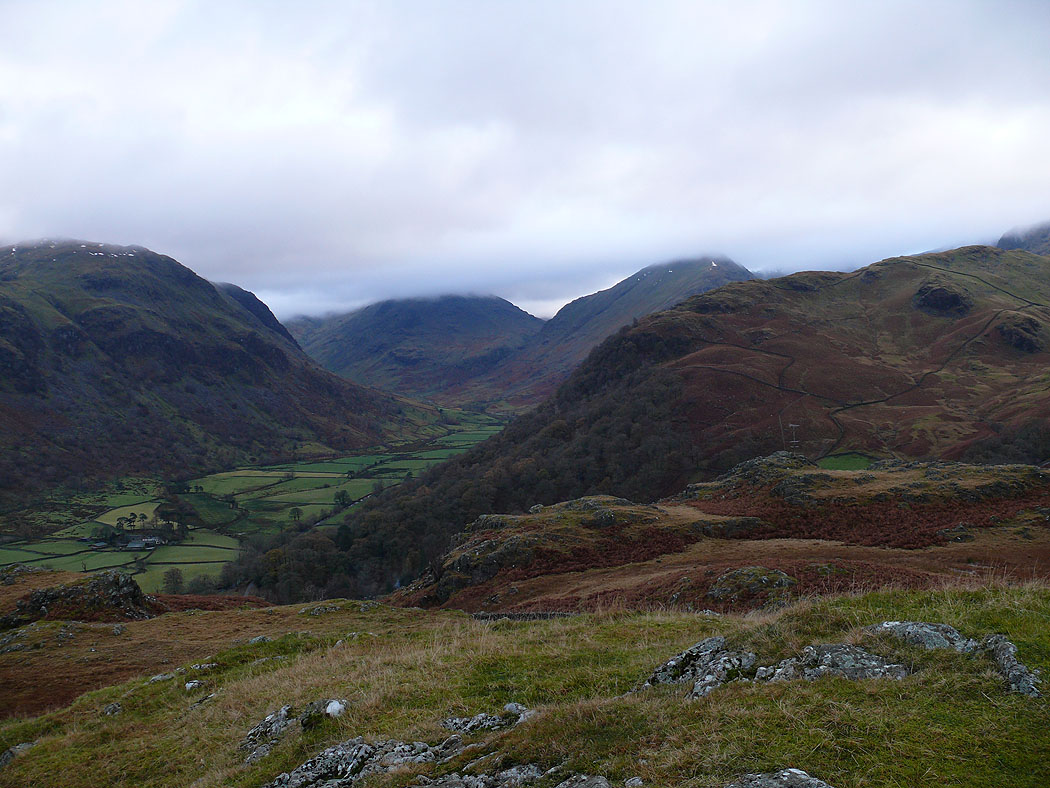
The view up Borrowdale towards Seathwaite
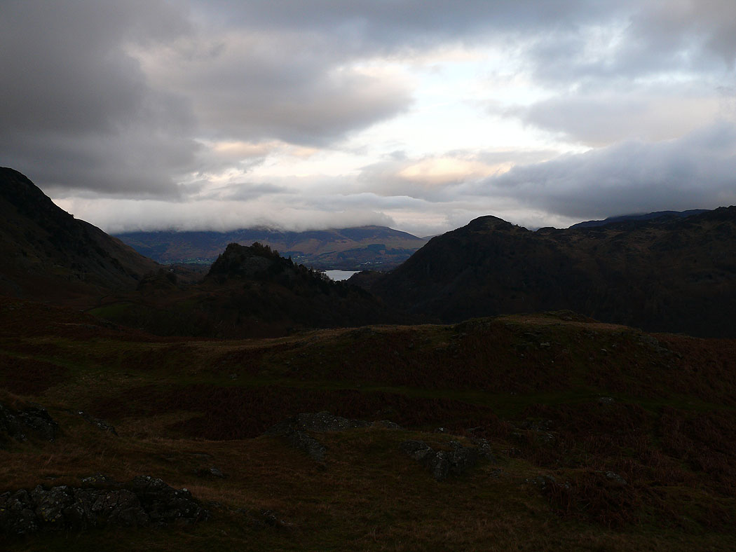
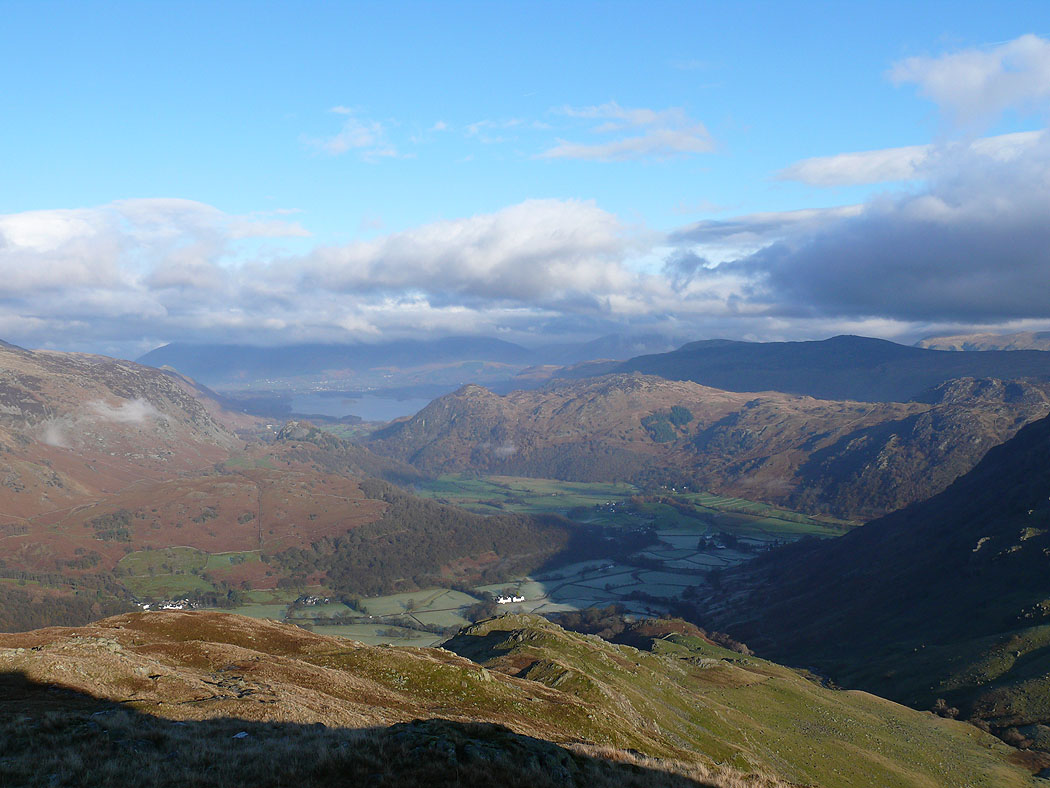
and down Borrowdale towards Skiddaw and Derwent Water
The Honister Pass
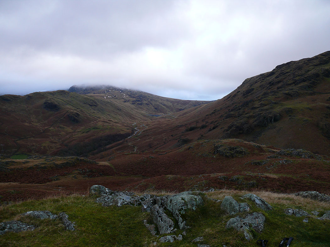
A last shot of Borrowdale before heading down to Seatoller