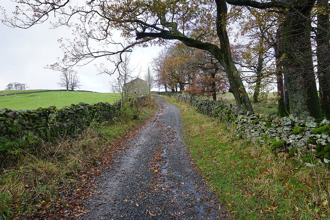
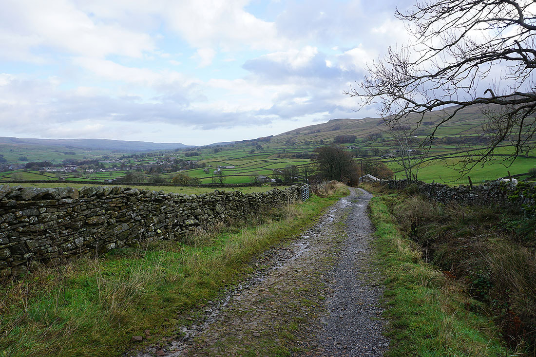
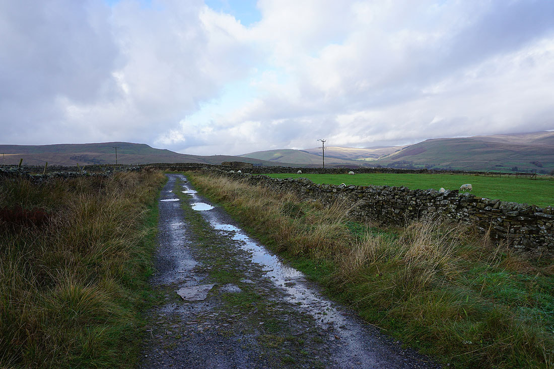
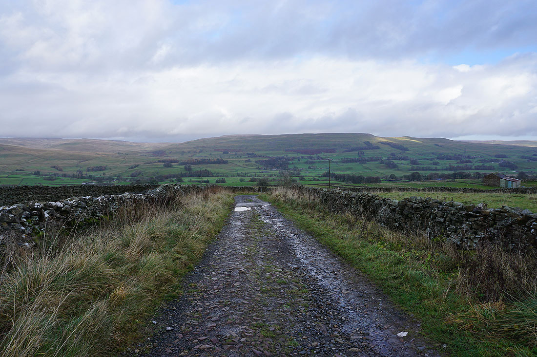
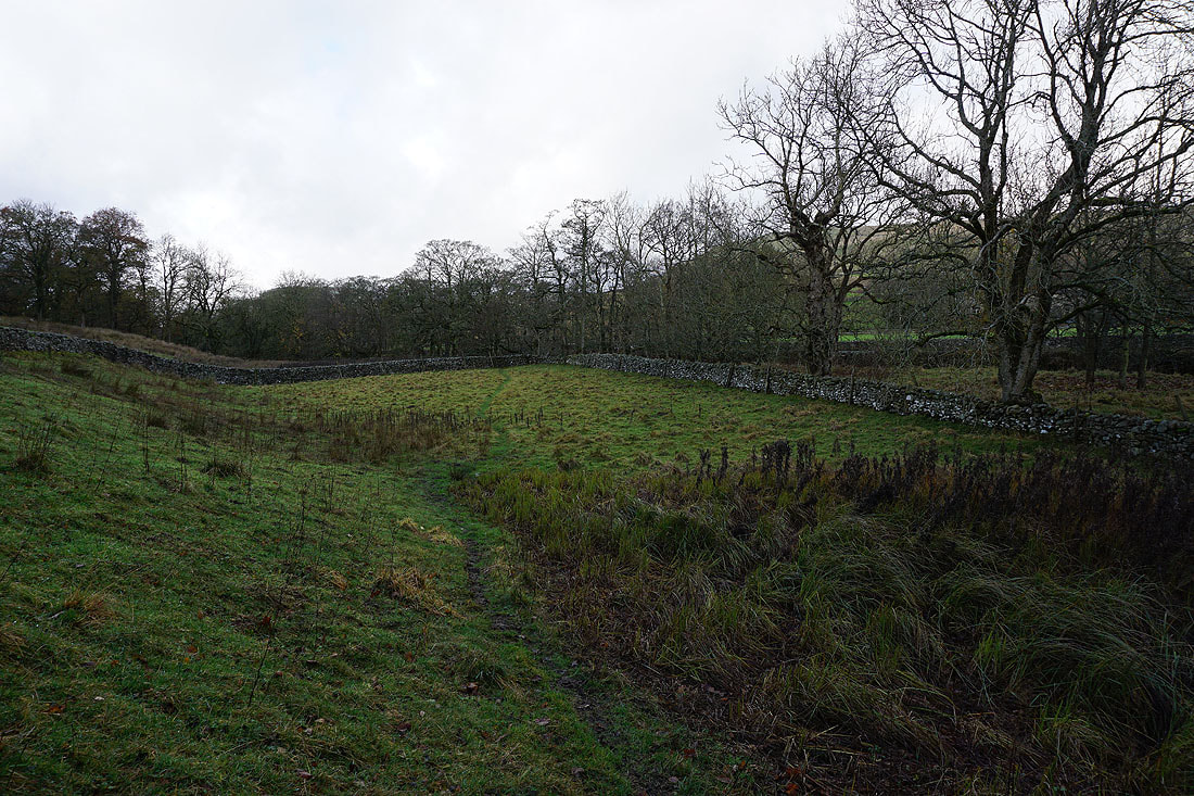
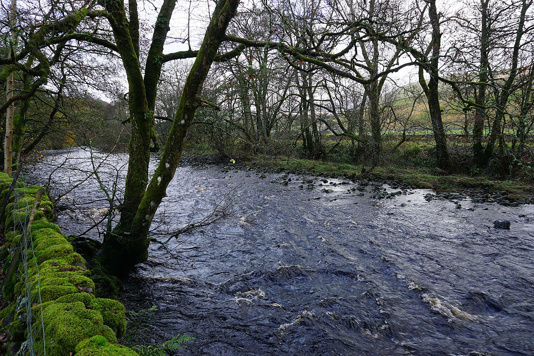
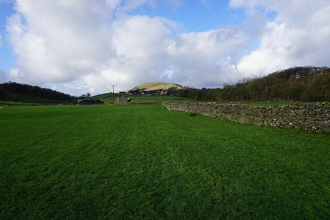
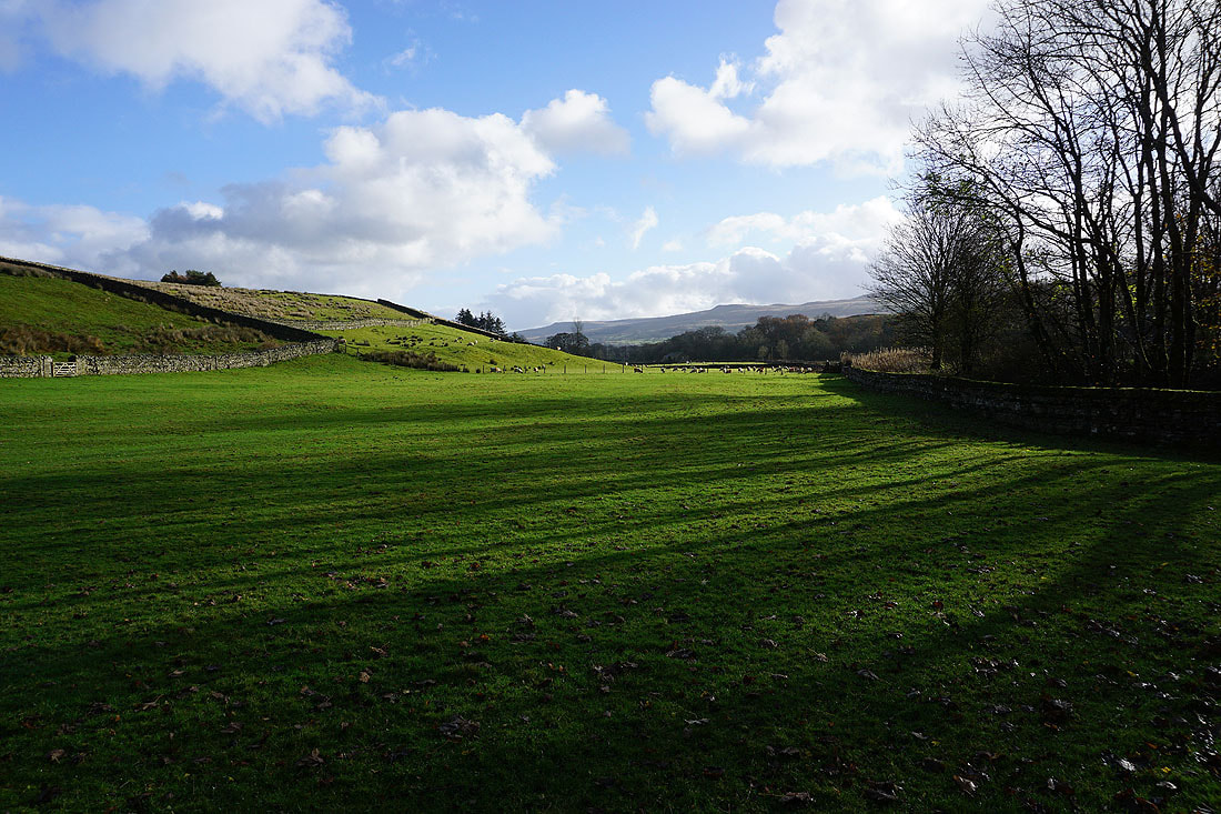
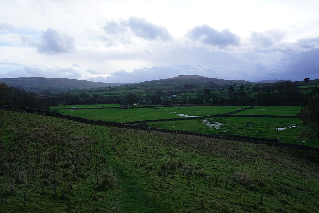
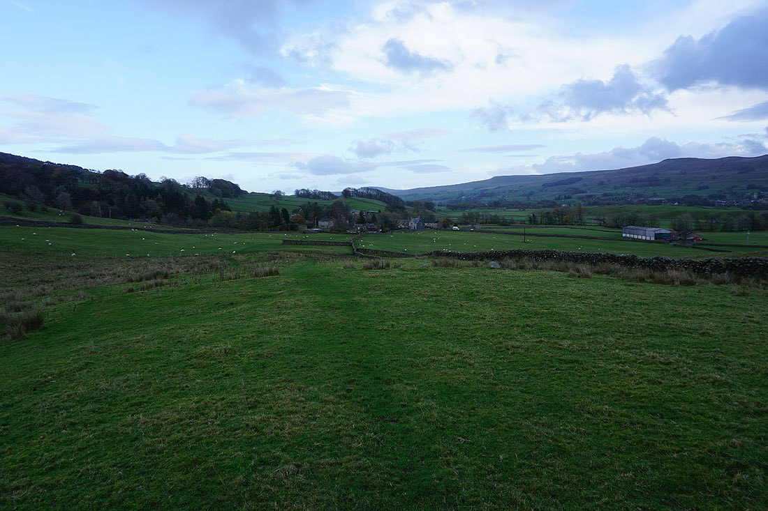
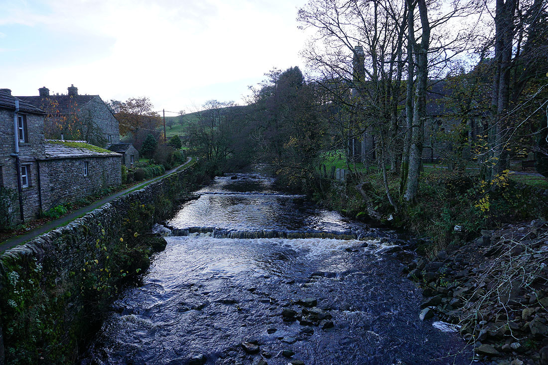
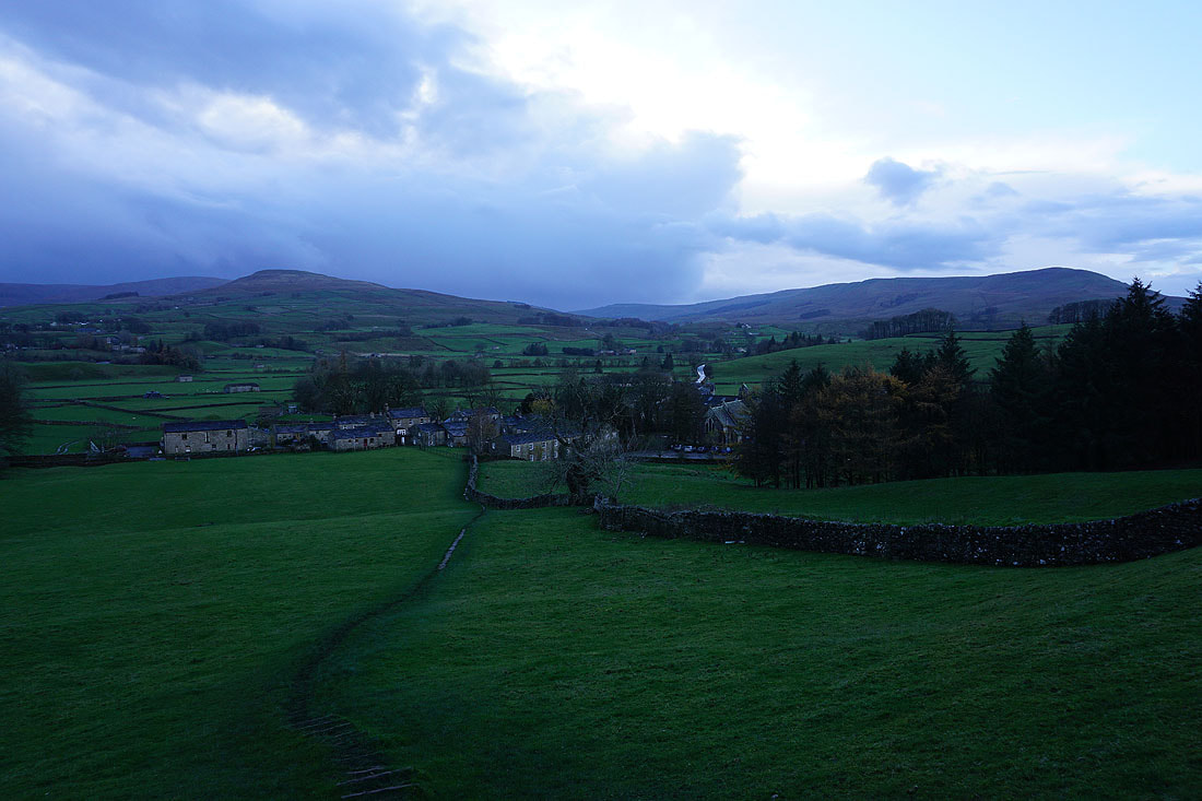
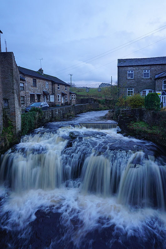
20th November 2022 - Cotter Force and Shaw Gill Wood
Walk Details
Distance walked: 10.1 miles
Total ascent: 1113 ft
OS map used: OL30 - Yorkshire Dales, Northern & Central areas
Time taken: 6 hrs
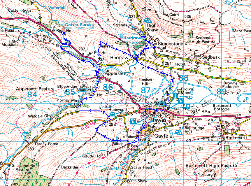
Route description: Gayle Lane car park, Hawes-Gayle Lane-Pennine Way-Mossy Lane-Bands Lane-Cam Road-B6255-Lanacar Lane-Appersett-New Bridge-Holme Heads Bridge-Cotter Force-Holme Heads Bridge-New Bridge-Bearsett-Hardraw-Simonstone-Shaw Gill Wood-Simonstone-Hardraw-Pennine Way-Gayle Lane car park, Hawes
With a forecast of a windy day and a strong chance of more than just a passing shower I decided on a low-level walk and a route that would include some waterfalls in the Dales that I'd not yet visited. Cotter Force is marked on my OS map with a star, so is considered a tourist attraction, but the only access to it is via a footpath from the A684. The other waterfalls I wanted to see were on Hardraw Beck in Shaw Gill Wood, which is above the well-known Hardraw Force. Working out a route that would enable me to visit both and was the right length for full day's walk was quite tricky. Starting from Hawes, which seemed the best option, I used various footpaths, bridleways, and country lanes to get to Appersett and the bridge carrying the A684 over the River Ure, then from there I walked to Cotter Force and back. Next stop was Hardraw and then Shaw Gill Wood before returning to Hardraw to head back to Hawes via the Pennine Way. The weather turned out better than I could have hoped for, I enjoyed quite a bit of autumn sunshine, and apart from the odd brief shower it stayed dry (there were far more showers not that far away).
From the car park on Gayle Lane in Hawes I walked up Gayle Lane and onto the trial of the Pennine Way. I then followed the Pennine Way through Gayle and up to the southern end of Mossy Lane, briefly walked down Mossy Lane and turned left onto Bands Lane, then after walking up to the top of Bands Lane turned right and walked down the track of Cam Road to the B6255. A short walk down the B6255 was needed to reach a bridleway on the other side of the road, which I took and followed west across fields to Lanacar Lane, and I then walked down Lanacar Lane to Appersett. When I reached Appersett I turned left and walked across the bridge carrying the A684 over Widdale Beck, and took a footpath on the left that runs north through the fields by the road to New Bridge. From New Bridge I took the footpath west towards Mossdale, following it beside and above the River Ure until I reached the access track for Birkrigg Farm, where I left it and took the track to the A684. A walk east along the A684 brought me to Holme Heads Bridge and the footpath to Cotter Force, where I stopped for lunch. After this break I retraced my steps all the way back to the bridge carrying the A684 over the River Ure, where I got onto the road and walked north along it to the junction with the road to Hardraw. At the junction I took a footpath north up onto the hill of Bearsett, and then a footpath east to the Pennine Way, which I walked down into Hardraw. I then walked through Hardraw and took a footpath on the left next to the George and Dragon pub and followed it uphill to Simonstone Hall and out to the road, which I walked up to reach the footpath down into Shaw Gill Wood. After walking the trail through Shaw Gill Wood I returned to the road, walked down towards Simonstone Hall and took a footpath on the right down to Hardraw. From Hardraw I then followed the Pennine Way back to Hawes for a walk through the village to the car park.
Route map
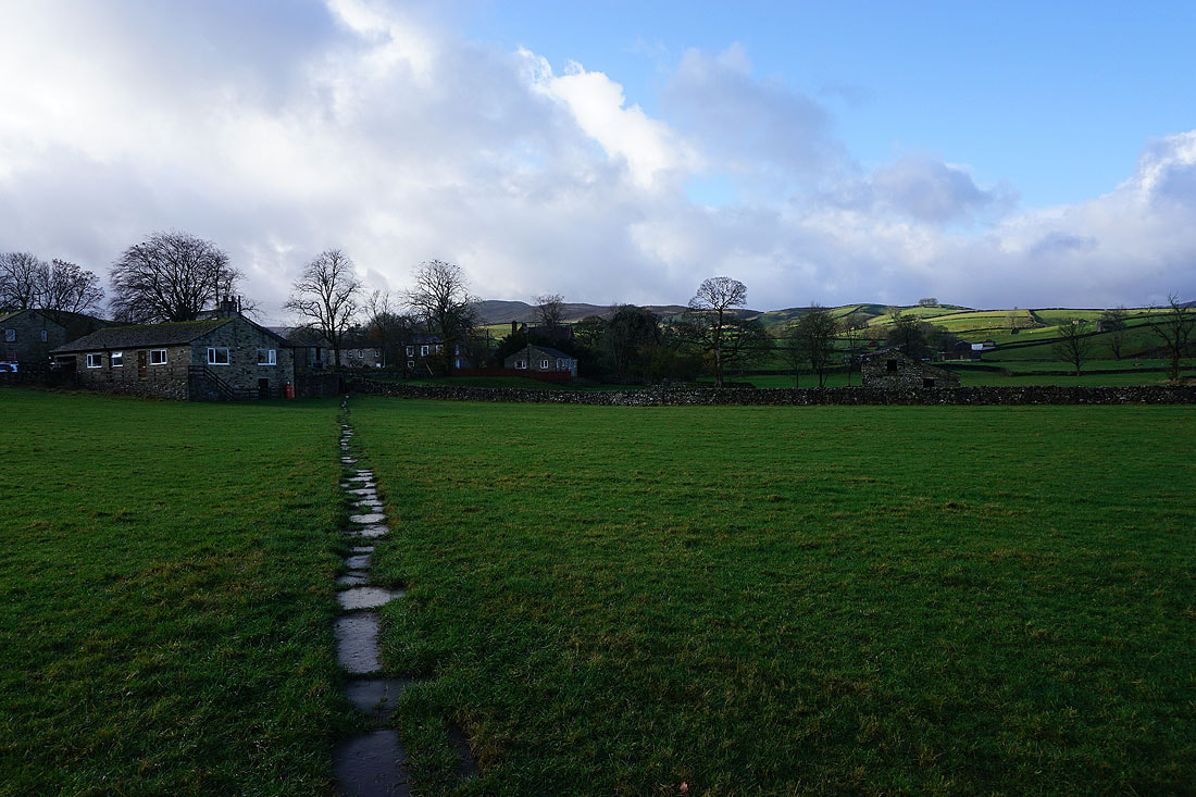
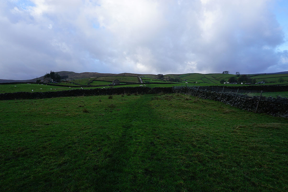
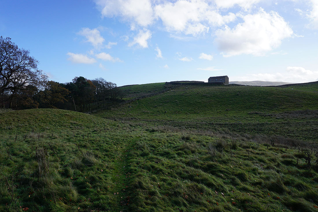
Leaving Gayle behind on the Pennine Way
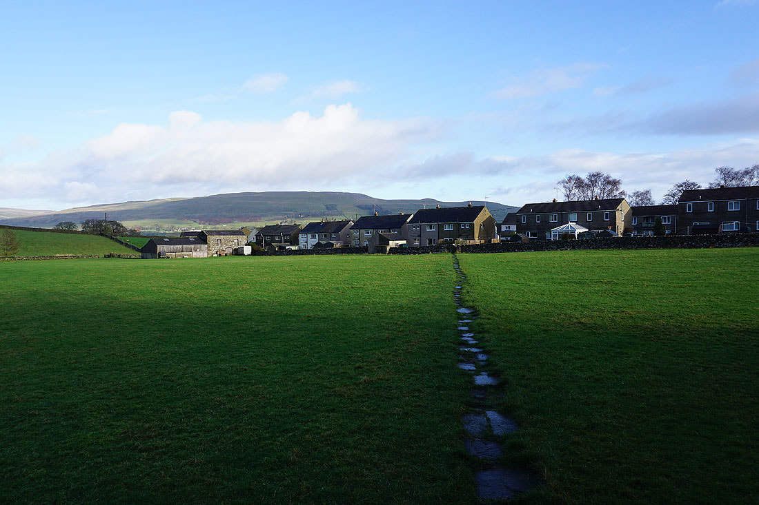
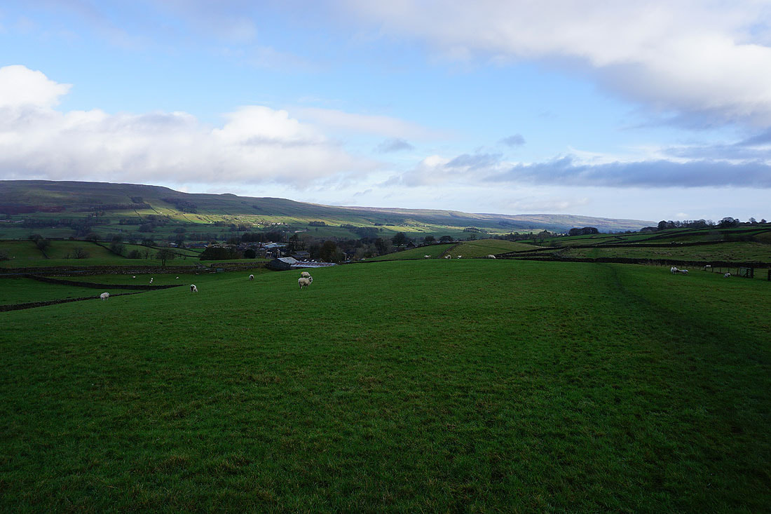
Looking back to Gayle with the hillside of High Clints behind
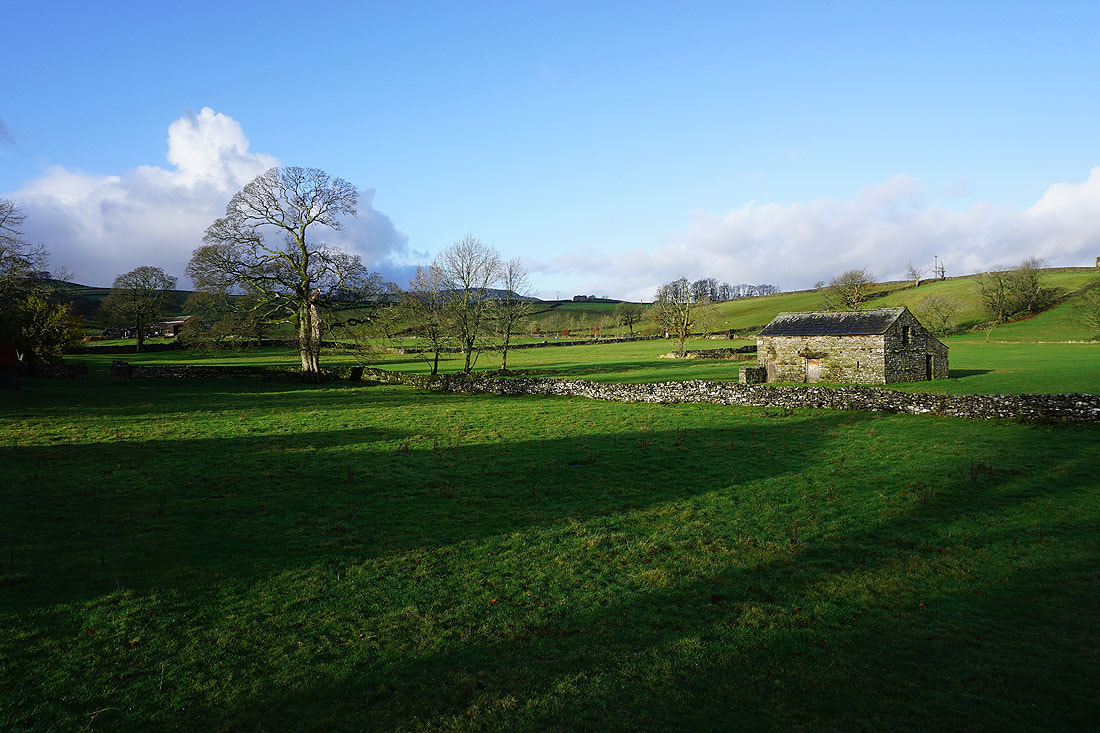
Sunshine and long shadows
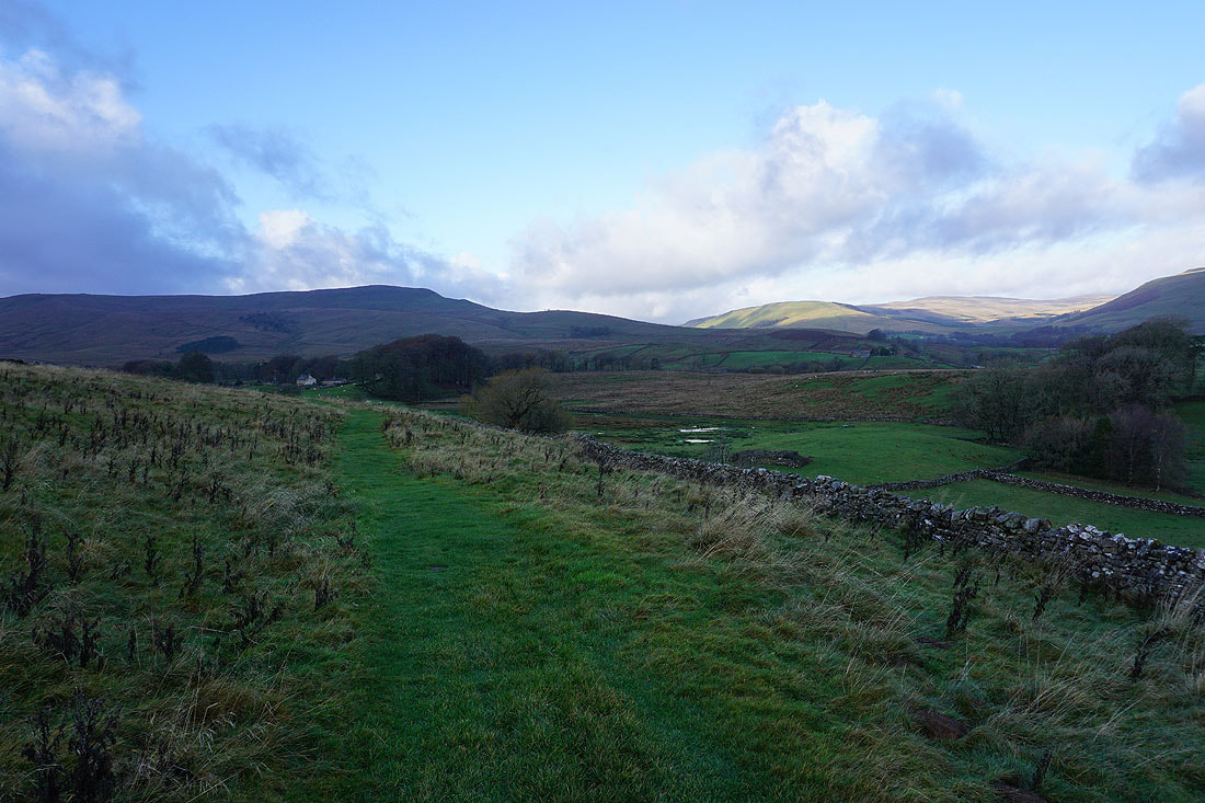
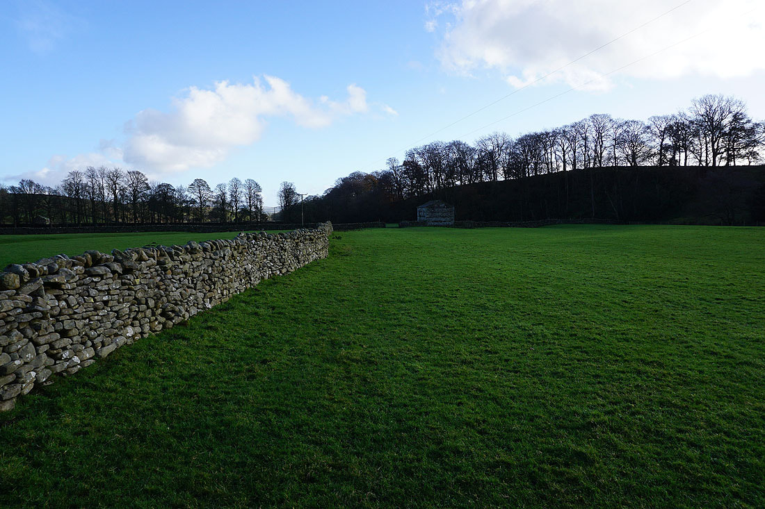
Following the Pennine Way west to Mossy Lane
Looking back down Wensleydale
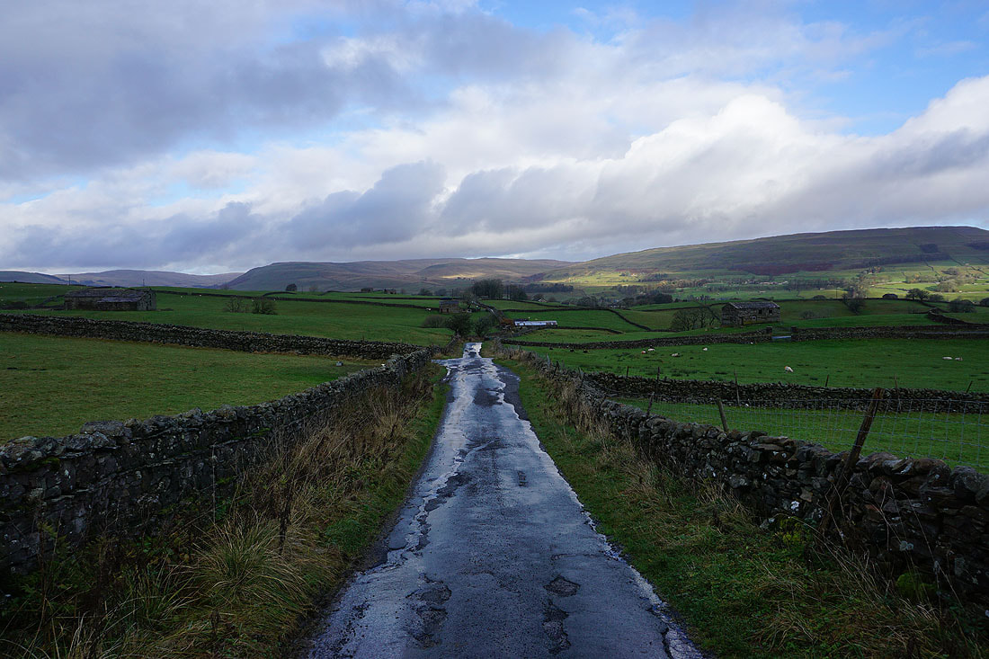
Heading south along Mossy Lane with the southern slopes of Great Shunner Fell and Lovely Seat on the other side of Wensleydale
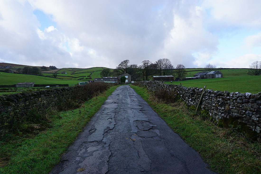
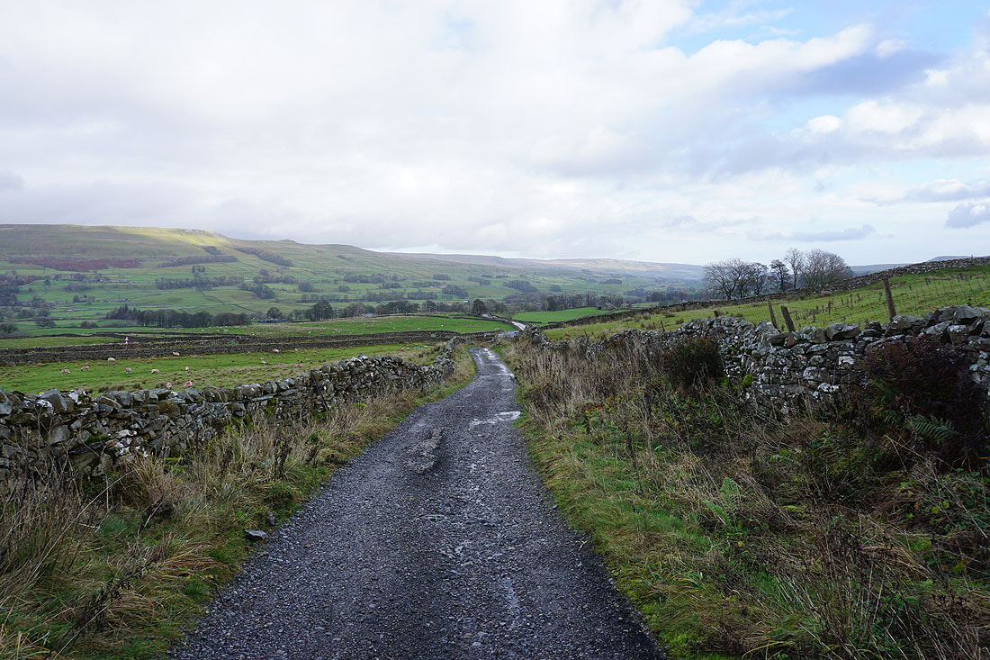
I soon turned left onto Bands Lane and walked west along it past Low Bands and High Bands towards the track of Cam Road..
Looking back down Bands Lane with Gayle in the distance on the left and Wether Fell Side on the right
At the top of Bands Lane and I'll turn right onto the track of Cam Road
Walking down Cam Road to the B6255..
After crossing the B6255 I take a bridleway west through fields to Lanacar Lane
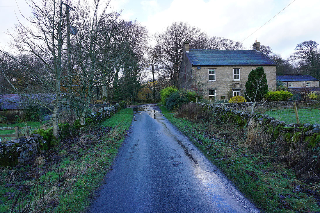
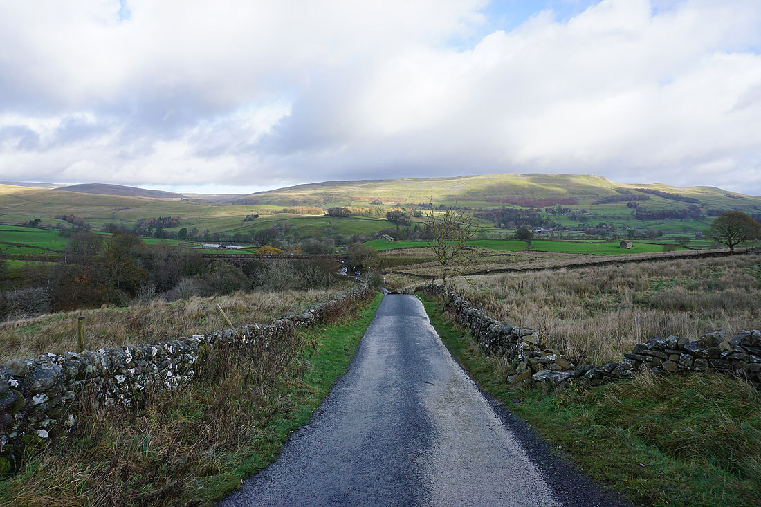
Walking north along Lanacar Lane past Thorney Mire Barn, and down towards Appersett..
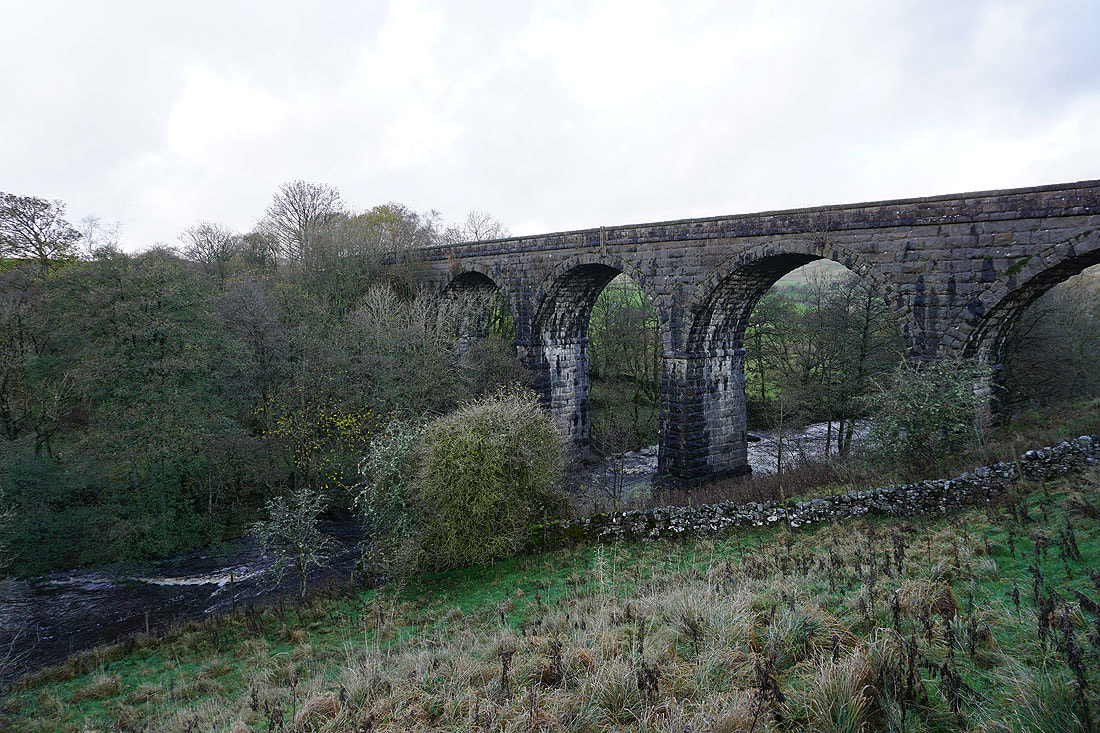
The Appersett Viaduct crosses Widdale Beck
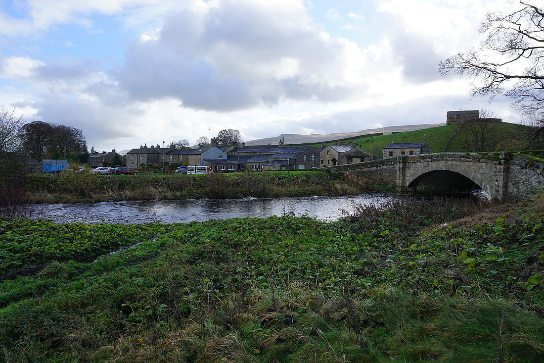
In Appersett at the bridge over Widdale Beck
The northern end of Widdale Fell above
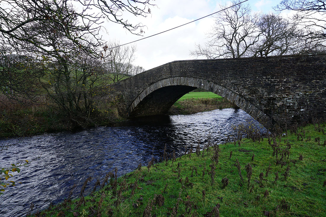
At the bridge carrying the A684 over the River Ure. After visiting Cotter Force I'll retrace my steps to here.
Following the footpath west above and beside the River Ure towards Birkrigg Farm..
The sunlit hillside of Cotter End ahead as I approach Birkrigg Farm. Just ahead I'll take the farm's access road out to the A684.
Taking the path from Holme Heads Bridge, and I get a view down Wensleydale to Yorburgh and Burtersett High Pasture
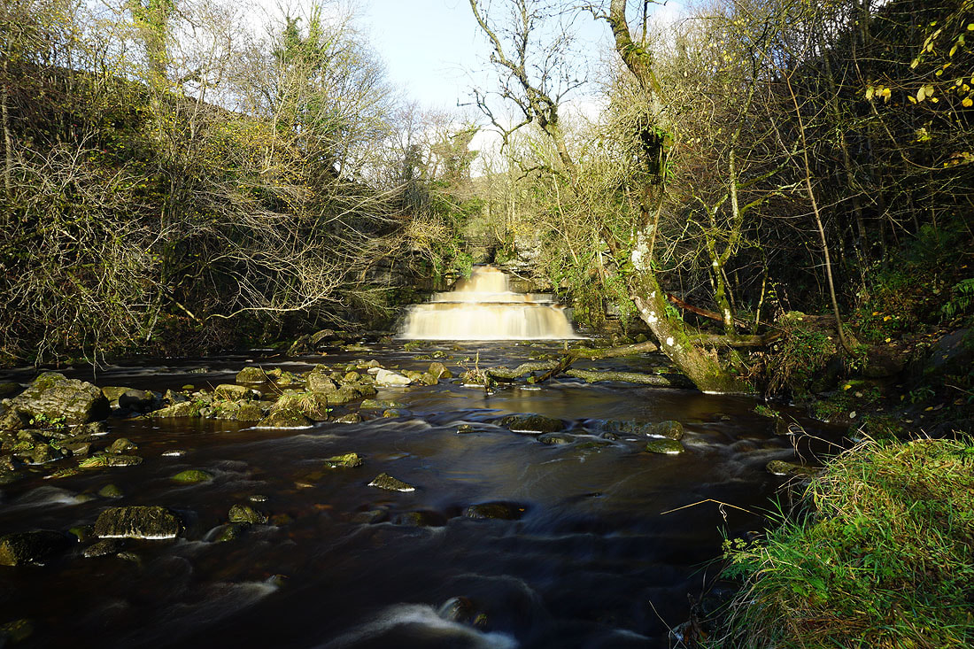
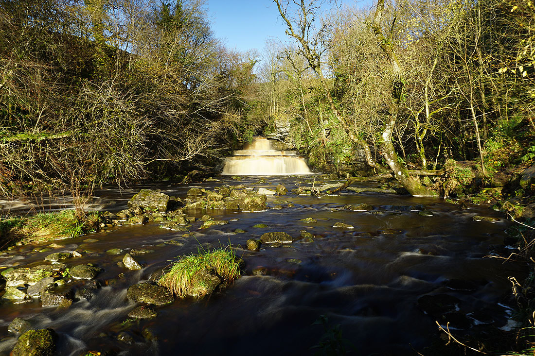
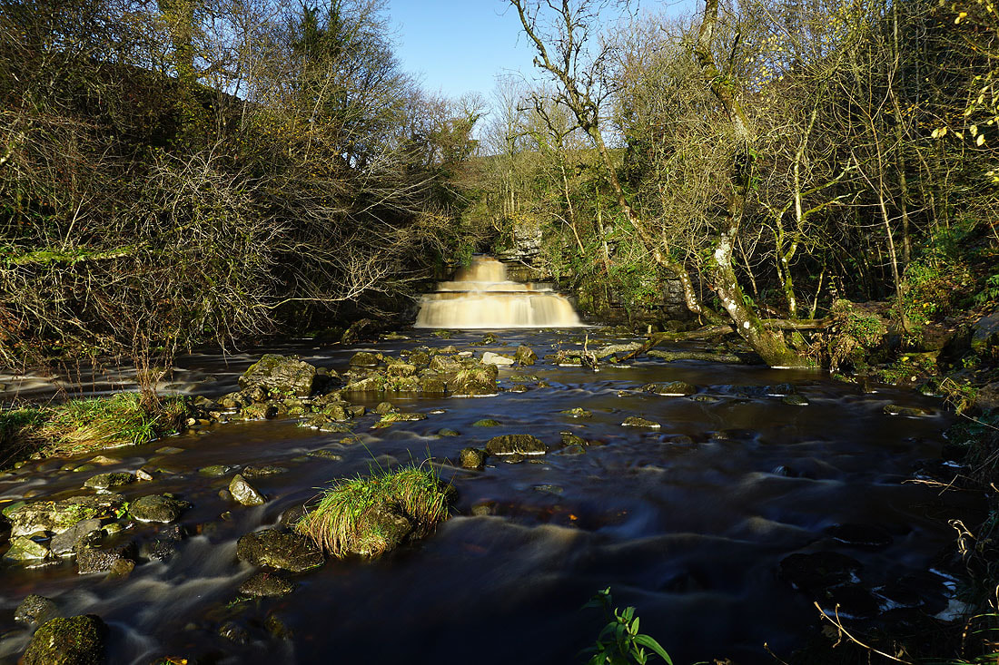
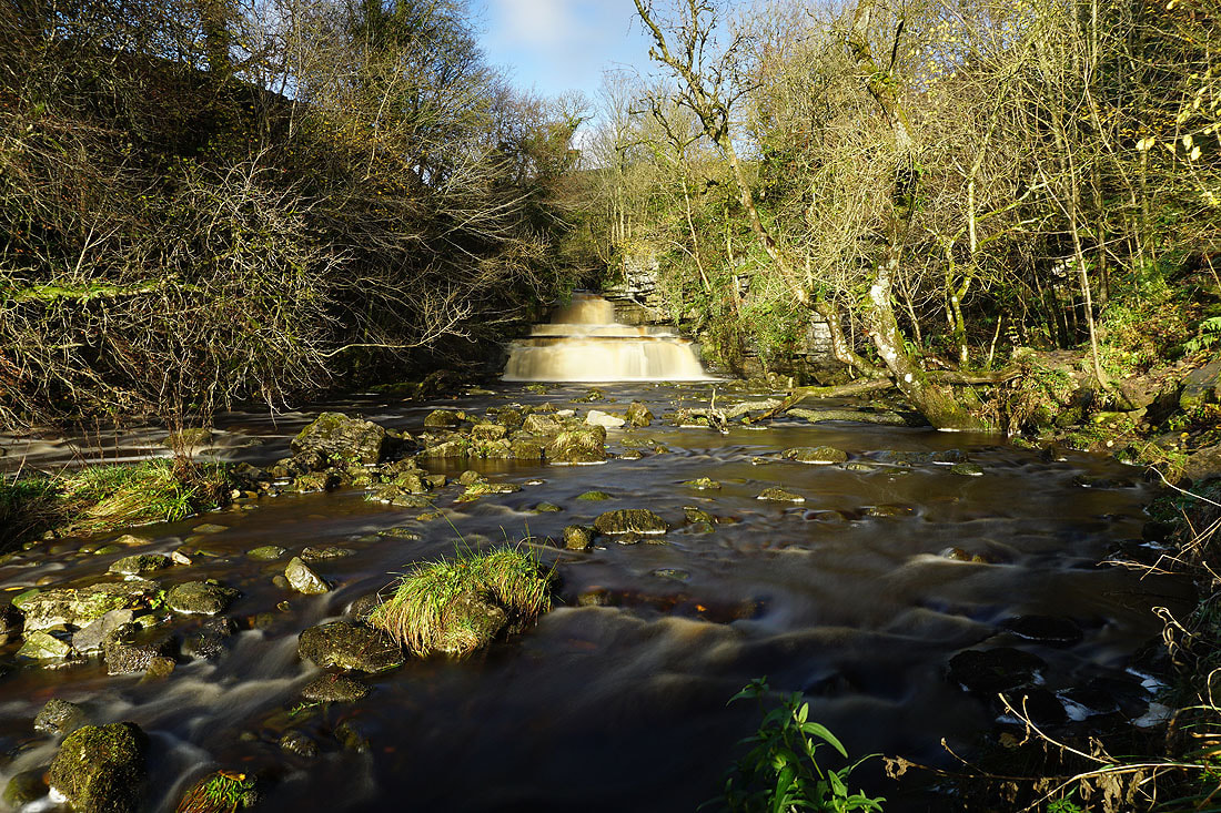
At the waterfall of Cotter Force. There's a bench behind me where I can sit and have my lunch, while I set up my camera and tripod and take some pictures. It's a lovely spot, and quite sheltered from the wind.
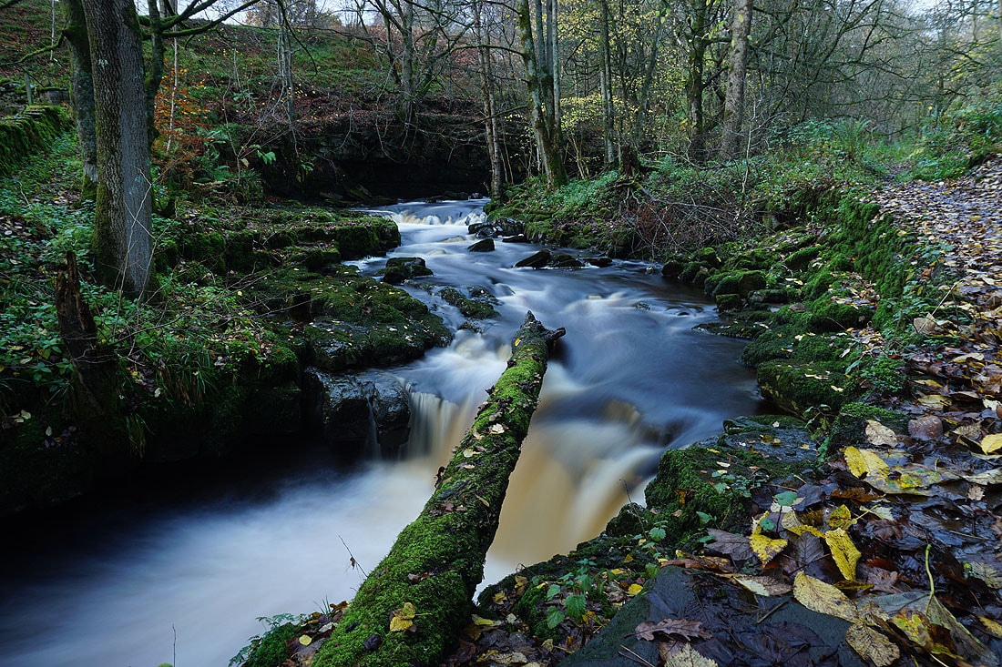
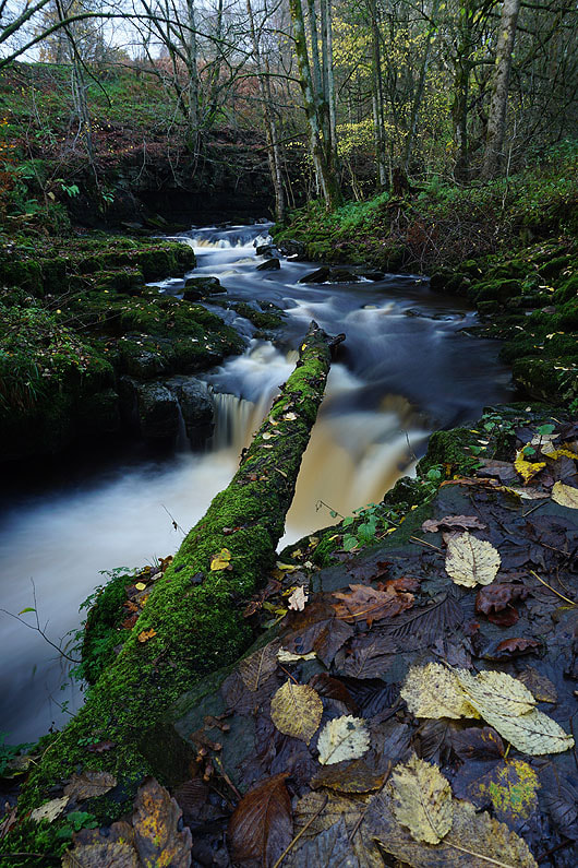
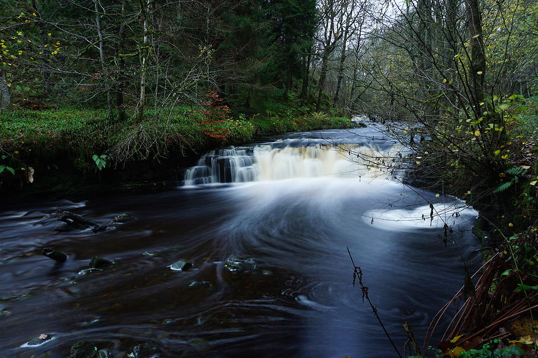
A few photos of Cotter Force...
Following the footpath back towards Appersett..
Approaching Appersett with Wether Fell in the distance on the left and Ten End on the right
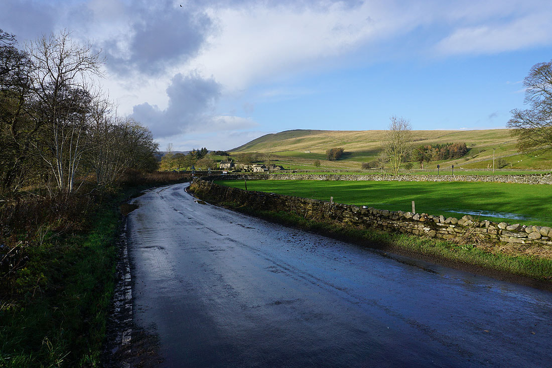
The A684 and Cotter Riggs as I make it back to the bridge over the River Ure
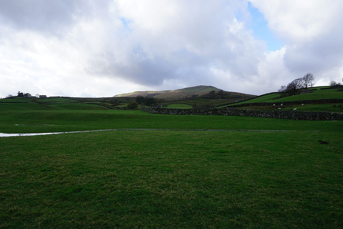
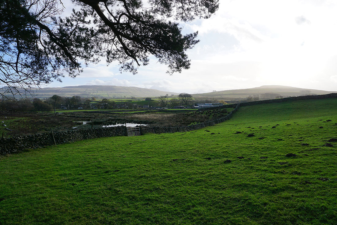
Looking back across Wensleydale to Ten End as I take the footpath up onto Bearsett
Heading for Hardraw
Hardraw Beck
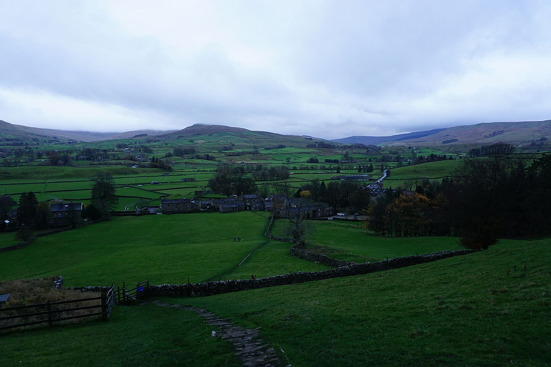
Looking back to Hardraw from the footpath up to Simonstone Hall
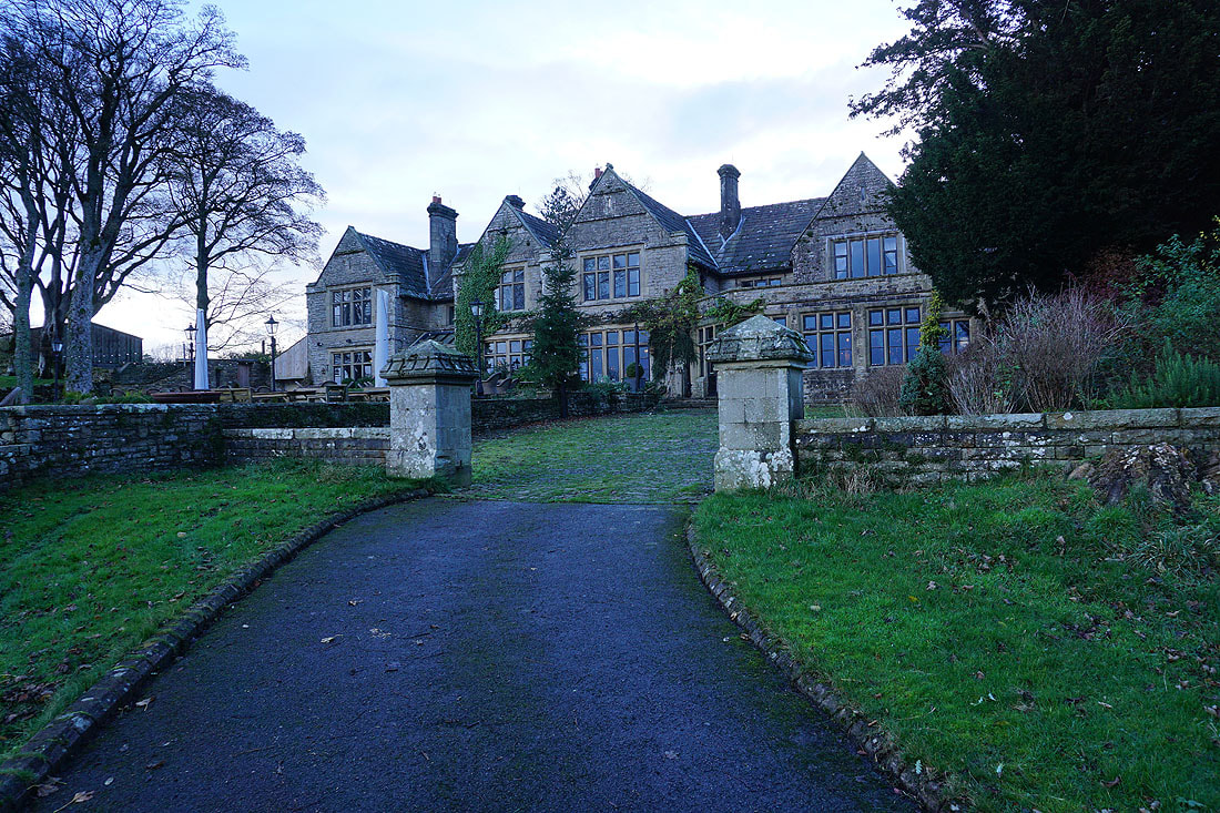
Passing the back of Simonstone Hall
A short walk up the road from the hotel brings me to the footpath down into Shaw Gill Wood
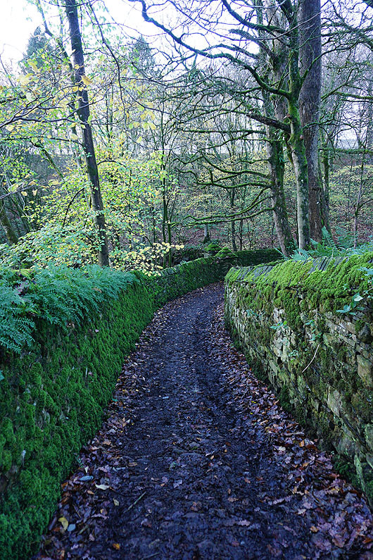
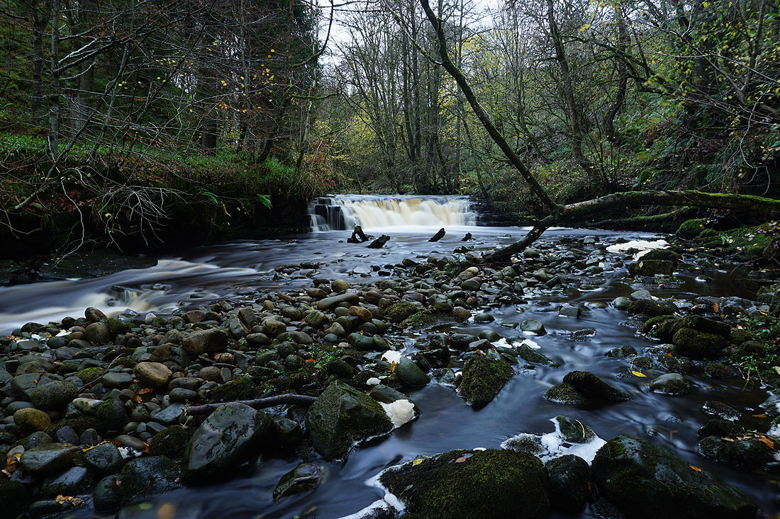
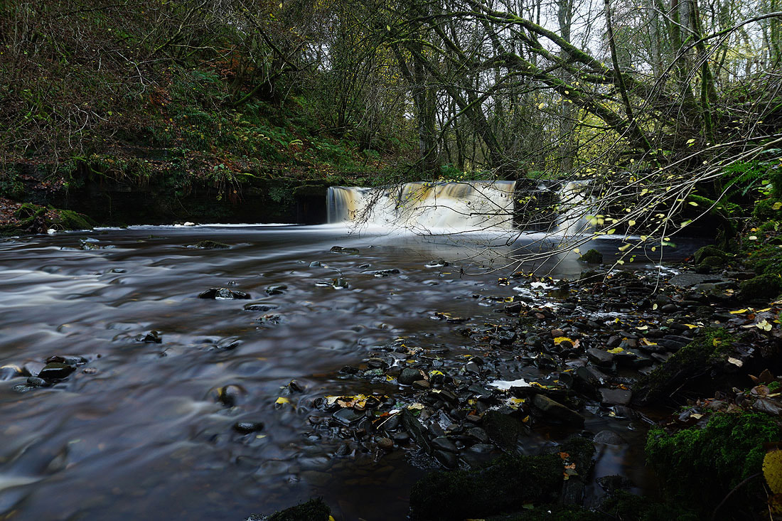
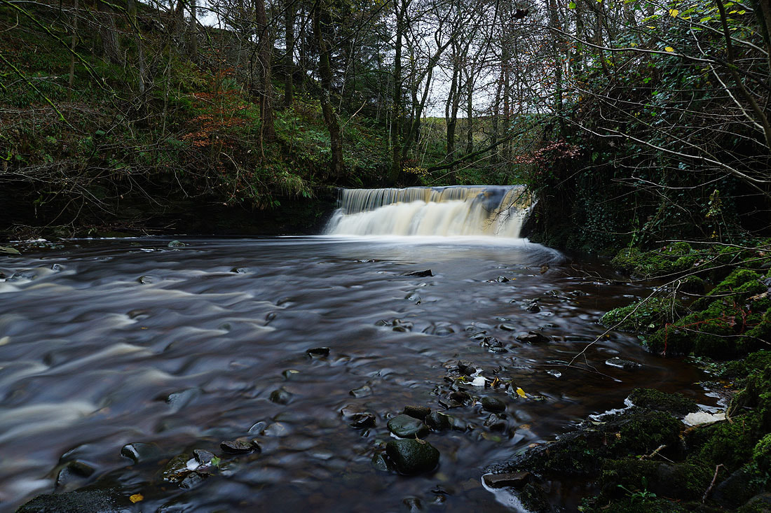
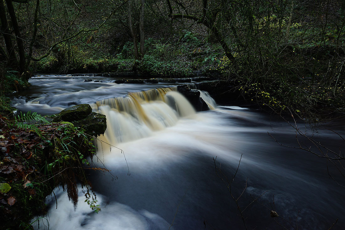
Photos of Hardraw Beck as I follow the circular trail through Shaw Gill Wood.......
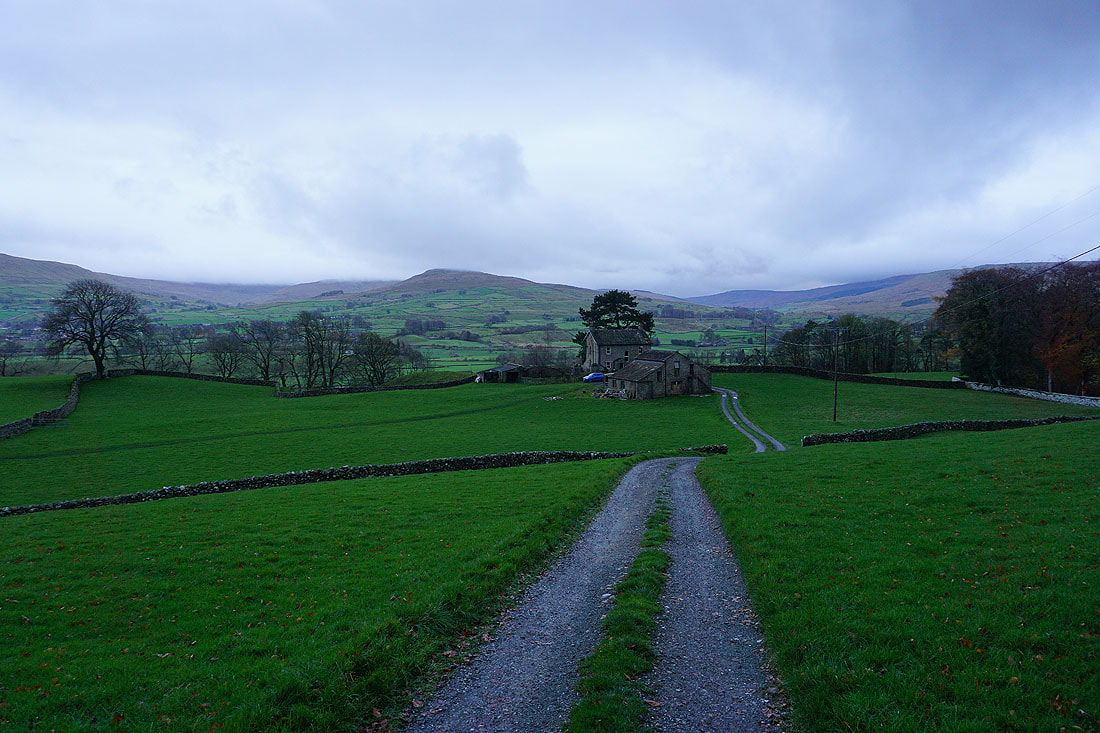
Heading back down to Hardraw..
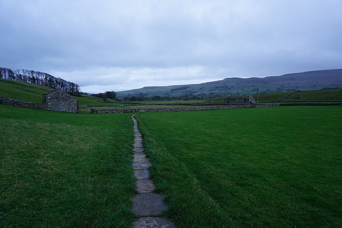
From Hardraw I take the Pennine Way towards Hawes
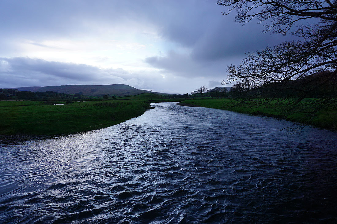
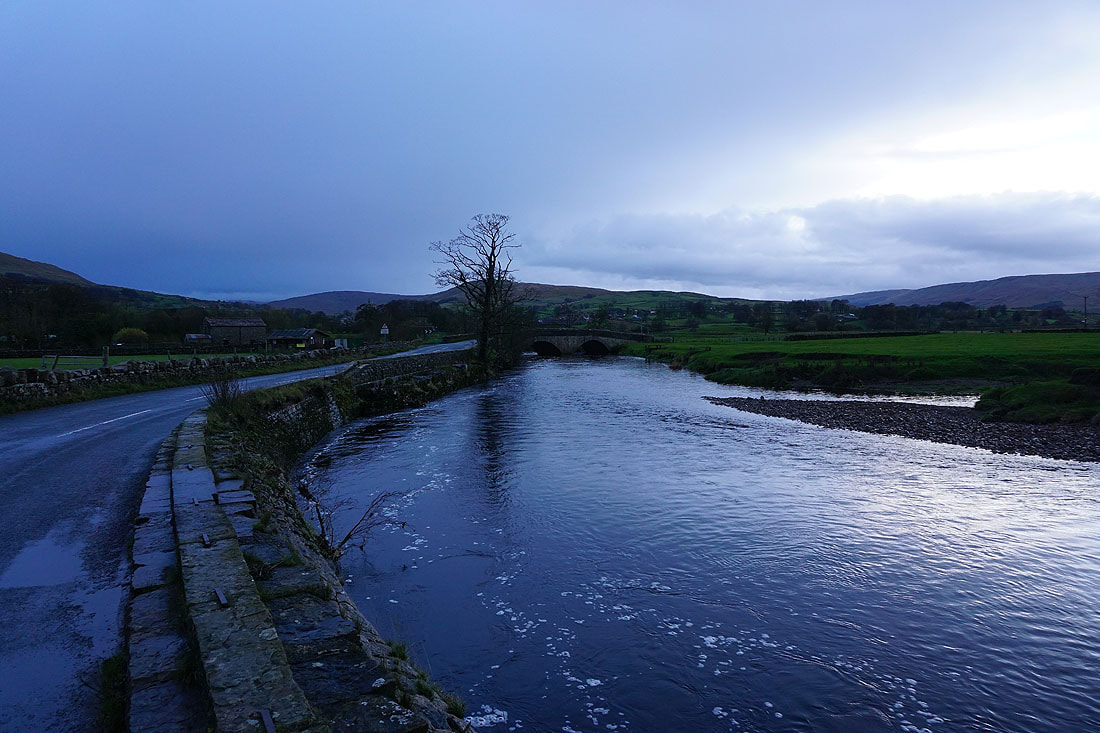
The River Ure from Brunt Acres Road..
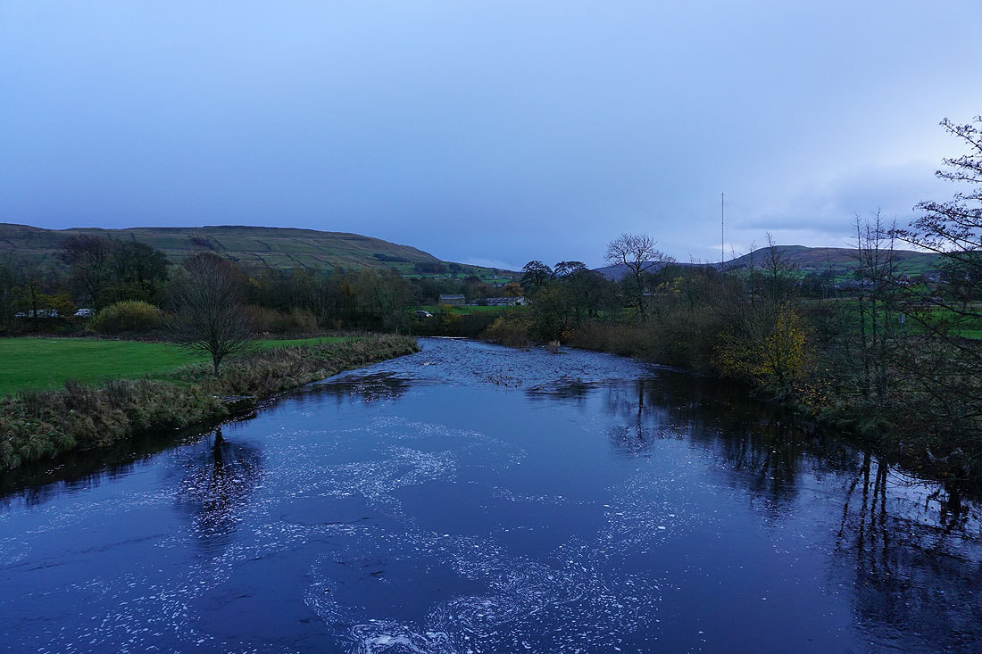
..and from Haylands Bridge
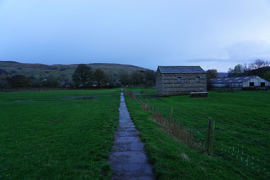
On the Pennine Way to Hawes
Gayle Beck as I walk through Hawes back to the car park
