20th October 2018 - Around the upper Dove Valley
Walk Details
Distance walked: 8.6 miles
Total ascent: 1952 ft
OS map used: OL24 - The Peak District, White Peak area
Time taken: 6 hrs
Route description: Earl Sterndale-High Wheeldon-Crowdicote-Underhill-Glutton Bridge-Hollinsclough-Hollins Hill-Booth Farm-Chrome Hill-Parkhouse Hill-Hitter Hill-Earl Sterndale
It was back to the Peak District for this weekend's outing and the upper part of the Dove Valley. This is the fourth time that I've done a walk in this area and I think that this was the most enjoyable visit yet. That did have a lot do with doing the walk the way round that I did though. I had the best weather of the day while I was on Chrome Hill and Parkhouse Hill. The lower afternoon sun at this time of year cast a great light and shadows across these hills so that I had a great time taking lots of photos. There was a bit of sunshine around when I set off from Earl Sterndale but by and large the morning was mostly cloudy and a bit murky. Fortunately the cloud started to thin and break by midday and it turned into a lovely mild autumn afternoon.
From where I parked outside the church in Earl Sterndale I set off by heading east out of the village on the upper road towards Wheeldon Trees. Just before reaching there I left the road for a public footpath on the right and access land to climb to the top of High Wheeldon. From the summit I made my way southeast downhill and across the hillside on access land to the road down into Crowdicote. Once in Crowdicote I took the lane on the right, then the footpath through Meadow Farm, across the bridleway of Green Lane and west to Glutton Bridge. I then briefly followed the road south to a lane on the right which took me under Parkhouse Hill and onto the byway to Hollinsclough. After having my lunch sat on a bench outside the village hall I briefly followed the lane northwest before taking a path on the right down to a bridge over the River Dove. Once across I carried on up the path for a short distance before taking a concessionary path on the right to reach the access land on Hollins Hill. From its top I made my way down to Booth Farm and onto the footpath east towards and past Stoop Farm where I picked up the concessionary path to Chrome Hill. I then made my way up and over Chrome Hill, crossed the lane below, then up and over Parkhouse Hill and down to the road to Glutton Bridge. The footpath on the other side of the road took me over Hitter Hill and back to Earl Sterndale.
Route map
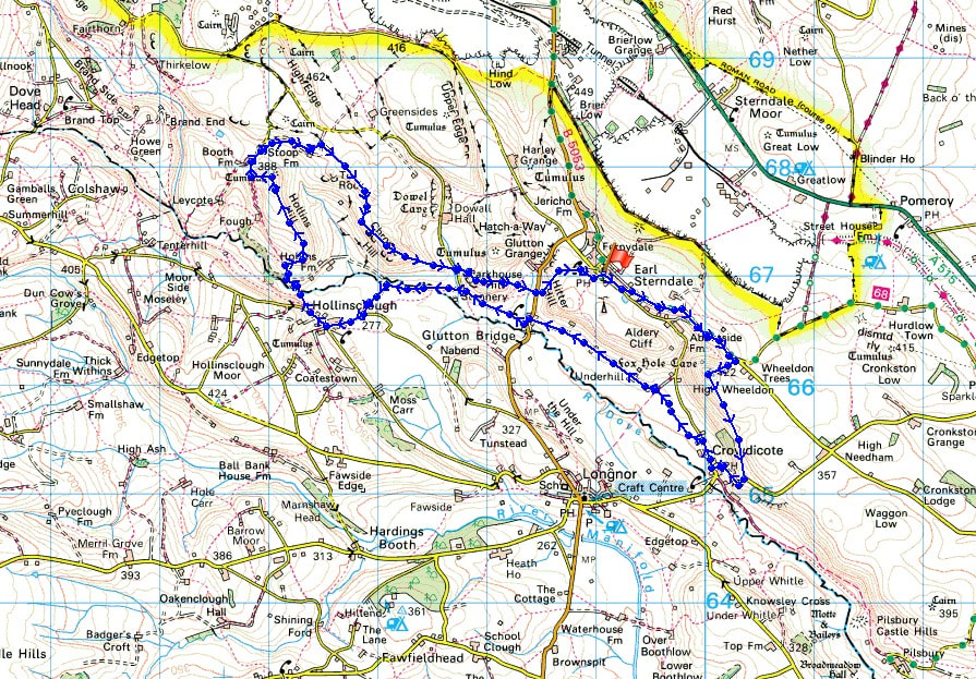
© Crown copyright. All rights reserved. License number PU 100034184.
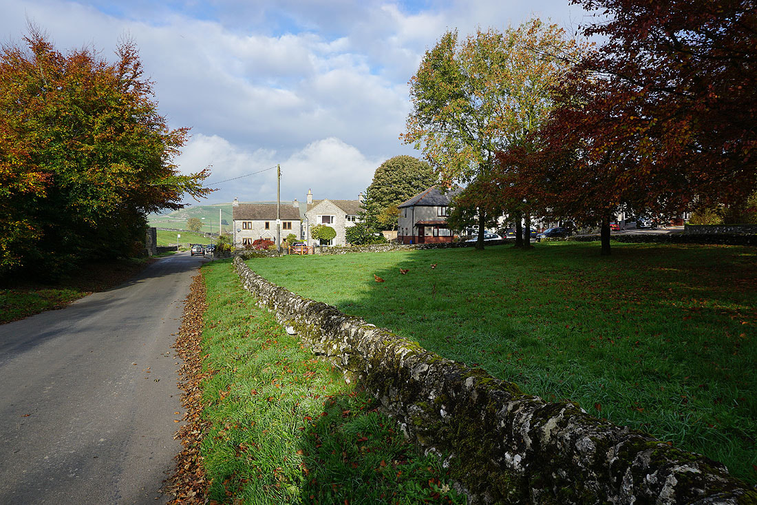
The sun is out in Earl Sterndale this morning
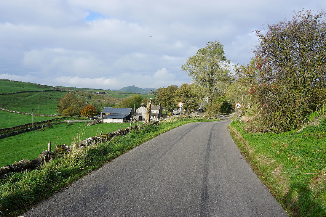
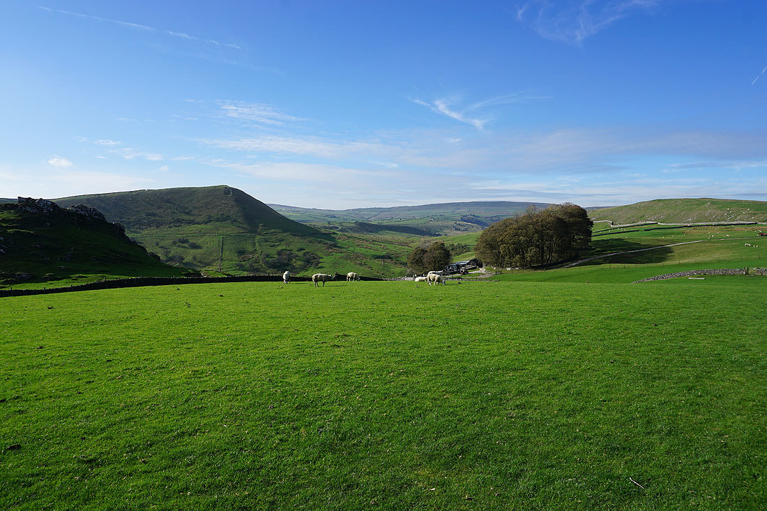
Leaving Earl Sterndale and I can make out the distinctive top of Chrome Hill in the distance
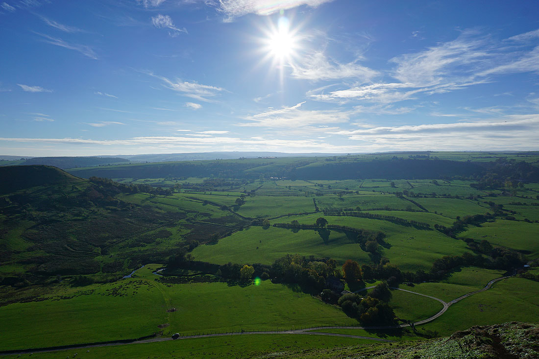
My first summit of High Wheeldon
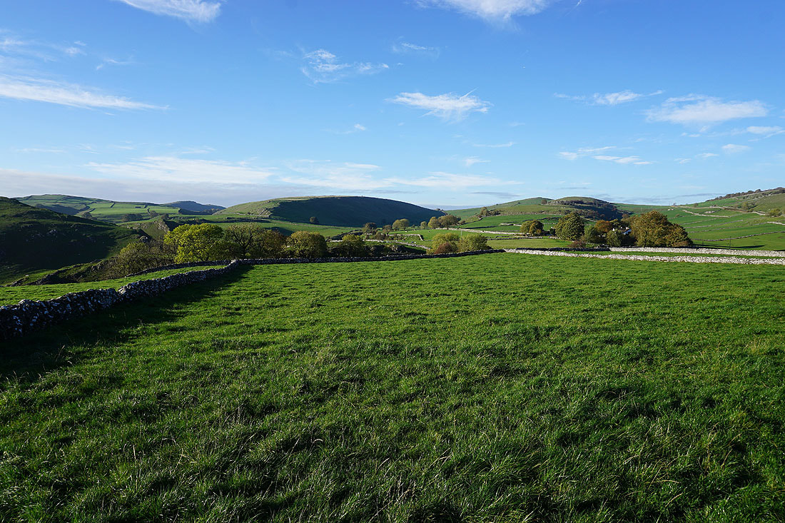
Looking back along the road to Earl Sterndale to the hills around the upper Dove Valley
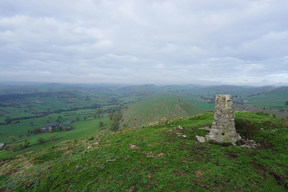
At the trig point on the summit of High Wheeldon
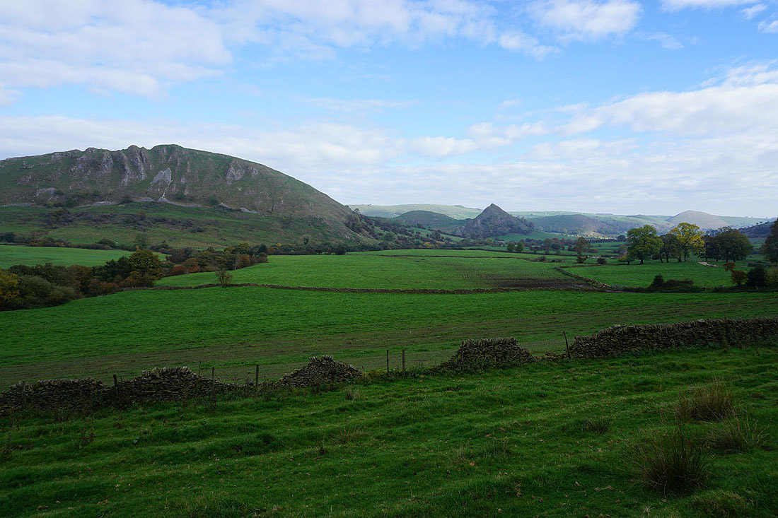
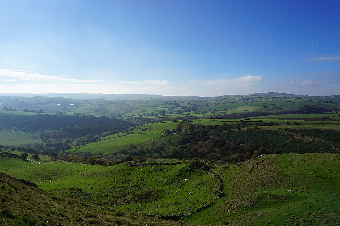
Looking southeast down the valley of the River Dove with the hamlet of Crowdicote below
The village of Longnor is just the other side of the ridge across the valley
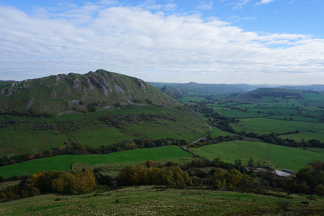
Finally, looking towards Chrome Hill and Hollins Hill with Aldery Cliff in front of me
Crowdicote below as I head southeast down the hillside of High Wheeldon
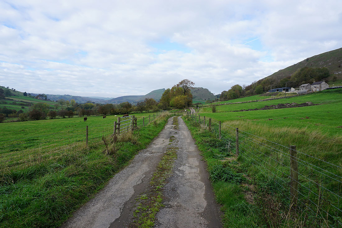
I leave Crowdicote by passing Meadow Farm
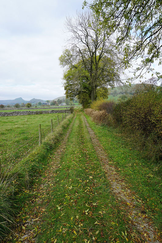
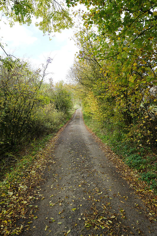
and then I follow a footpath and bridleway west to Glutton Bridge....

Parkhouse Hill from the lane to Dowall Hall
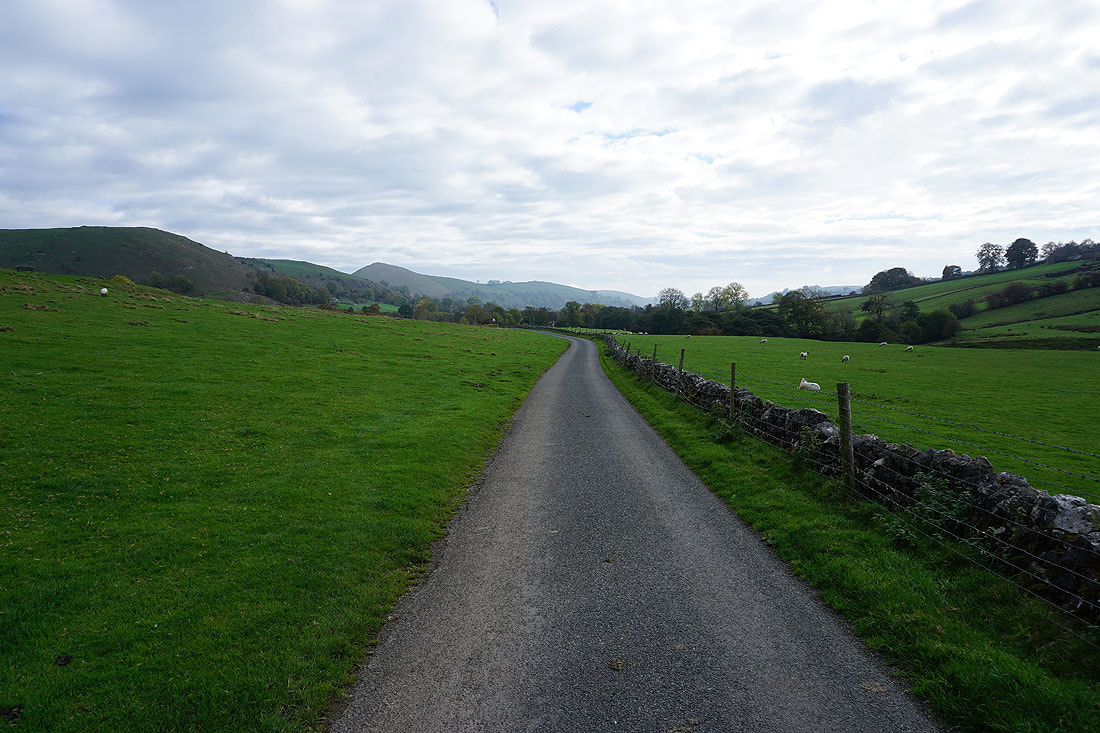
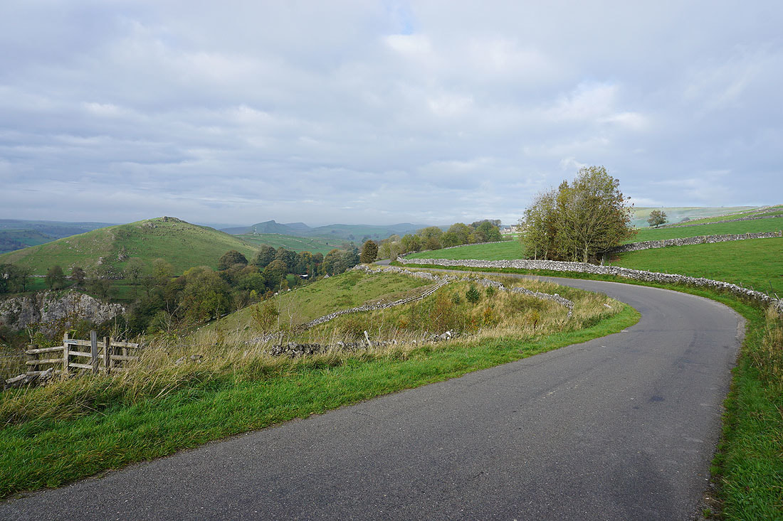
Looking back along the lane to High Wheeldon
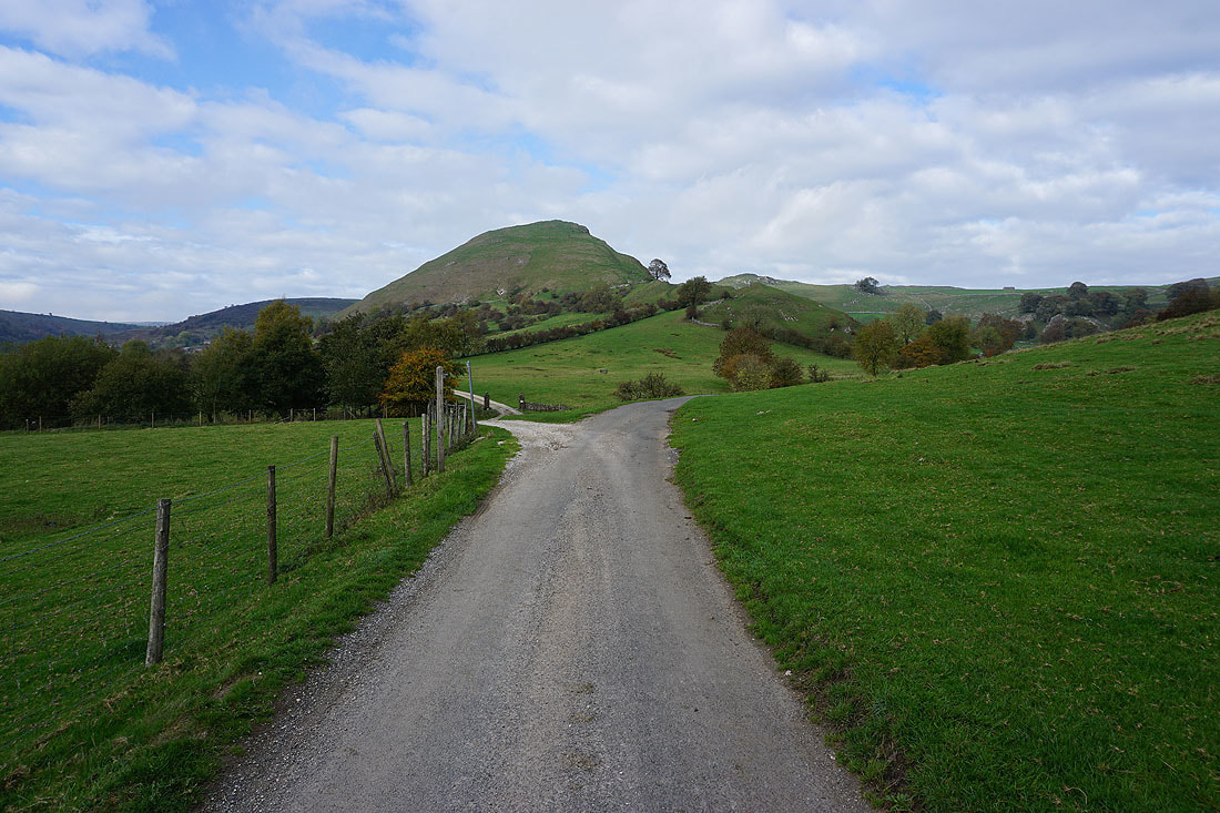
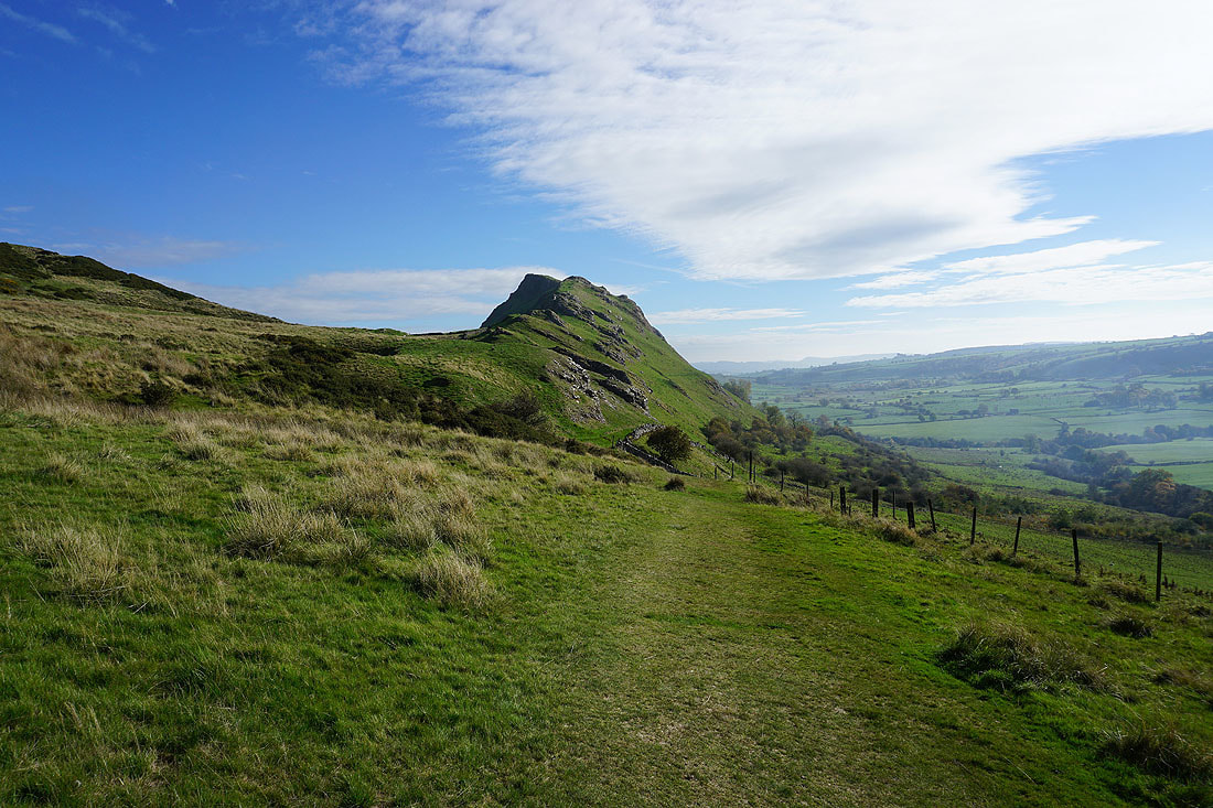
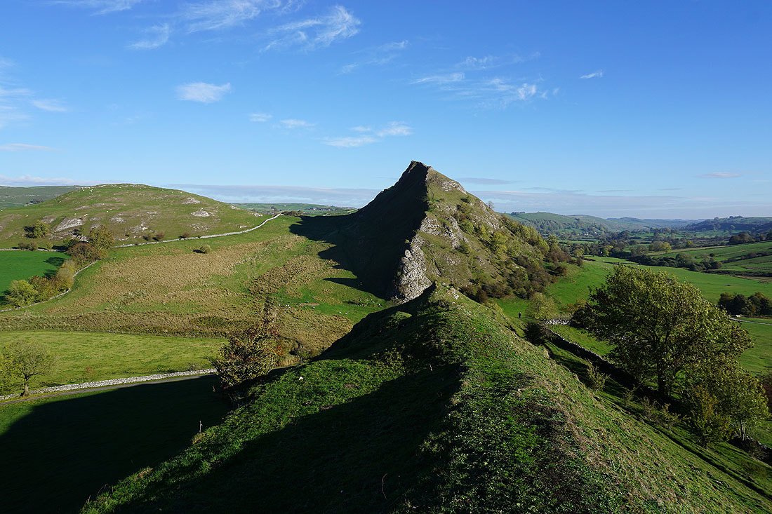
Chrome Hill ahead and here I'll turn left and take the byway to Hollinsclough
Parkhouse Hill from the byway..
..and Hollins Hill
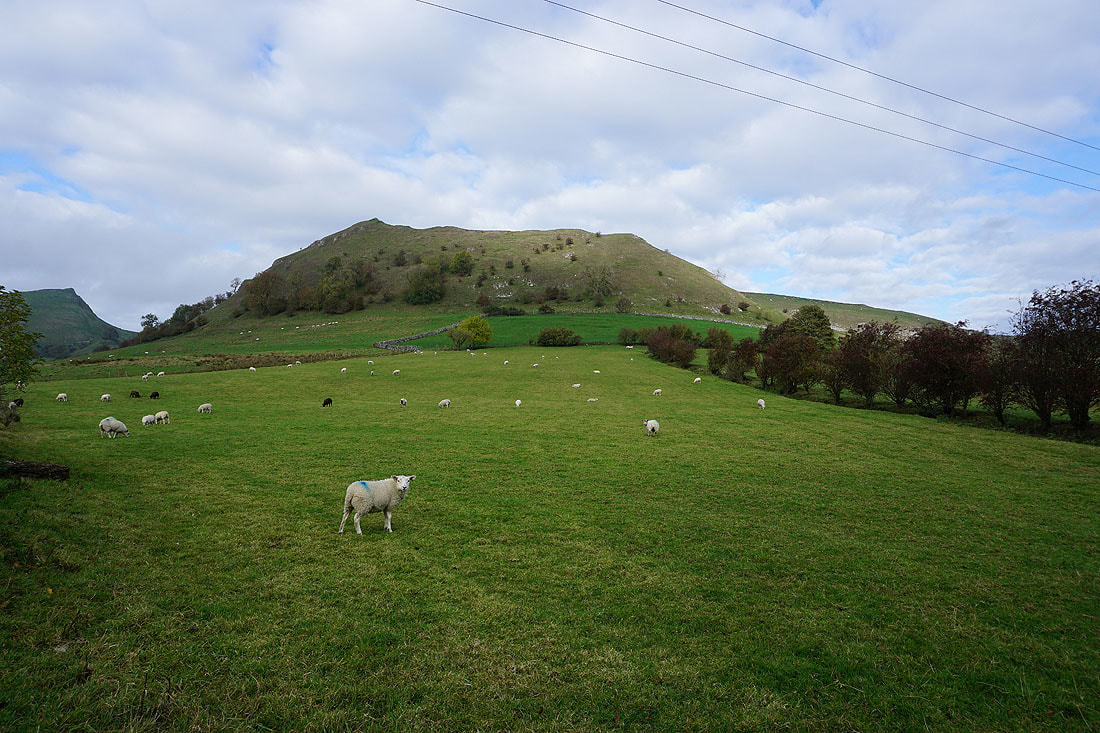
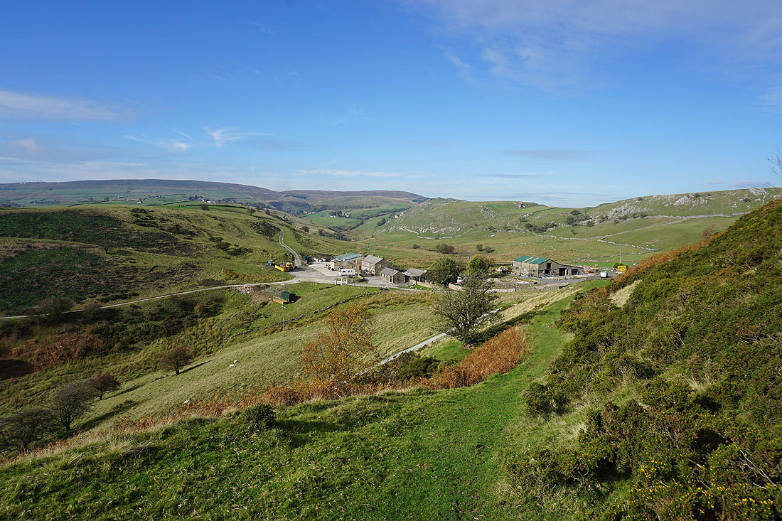
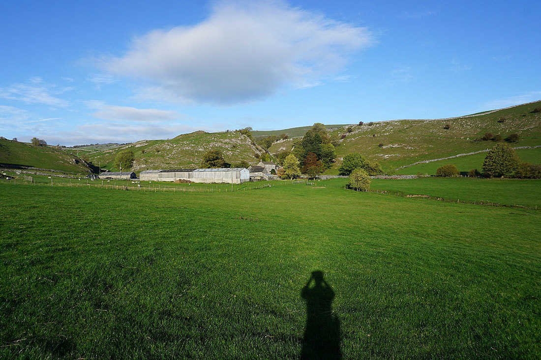
Chrome Hill from Hollinsclough. I had my lunch sat on a bench outside the village hall.
Chrome Hill and Parkhouse Hill as I take the footpath towards Hollins Hill
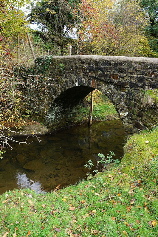
Bridge over the River Dove
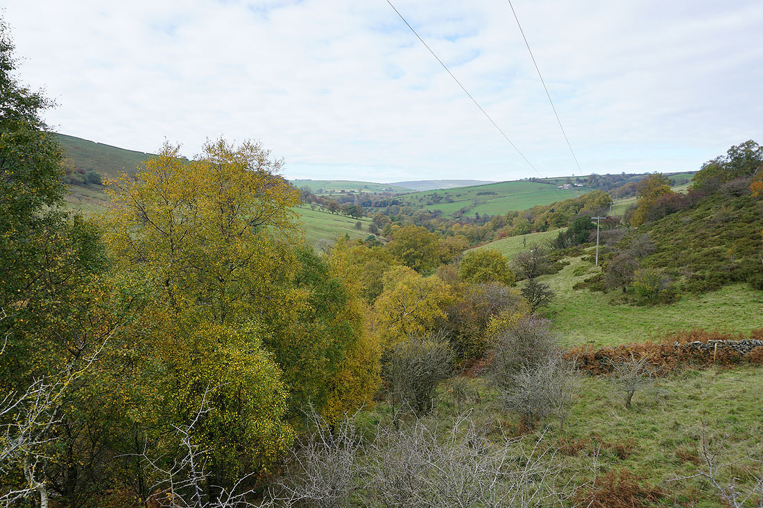
A bit of autumn colour in the woodland by the river
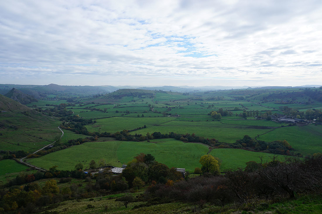
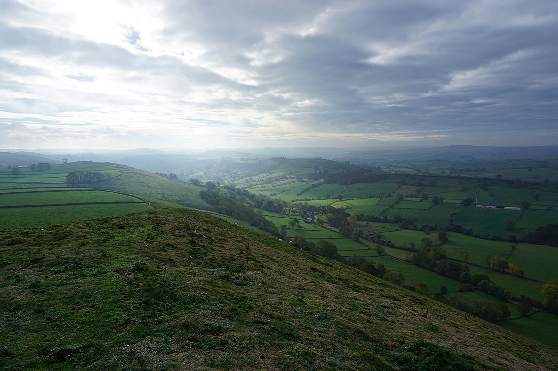
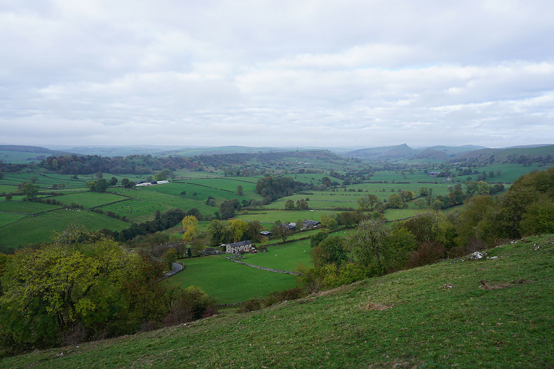
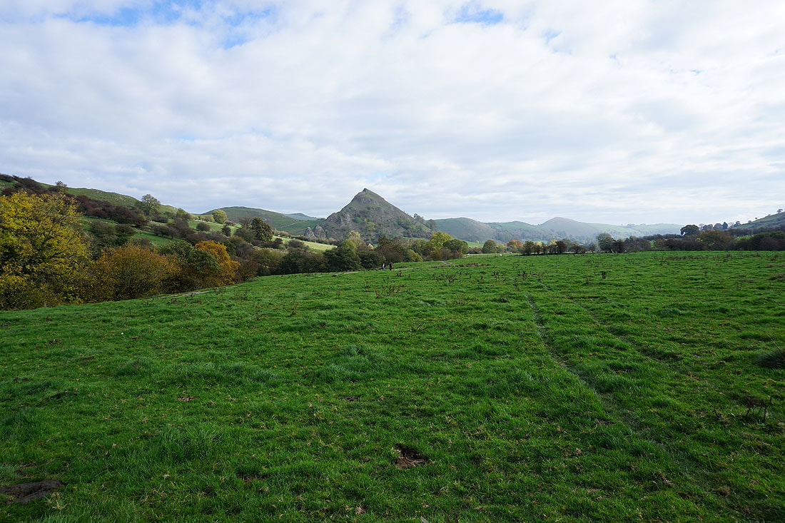
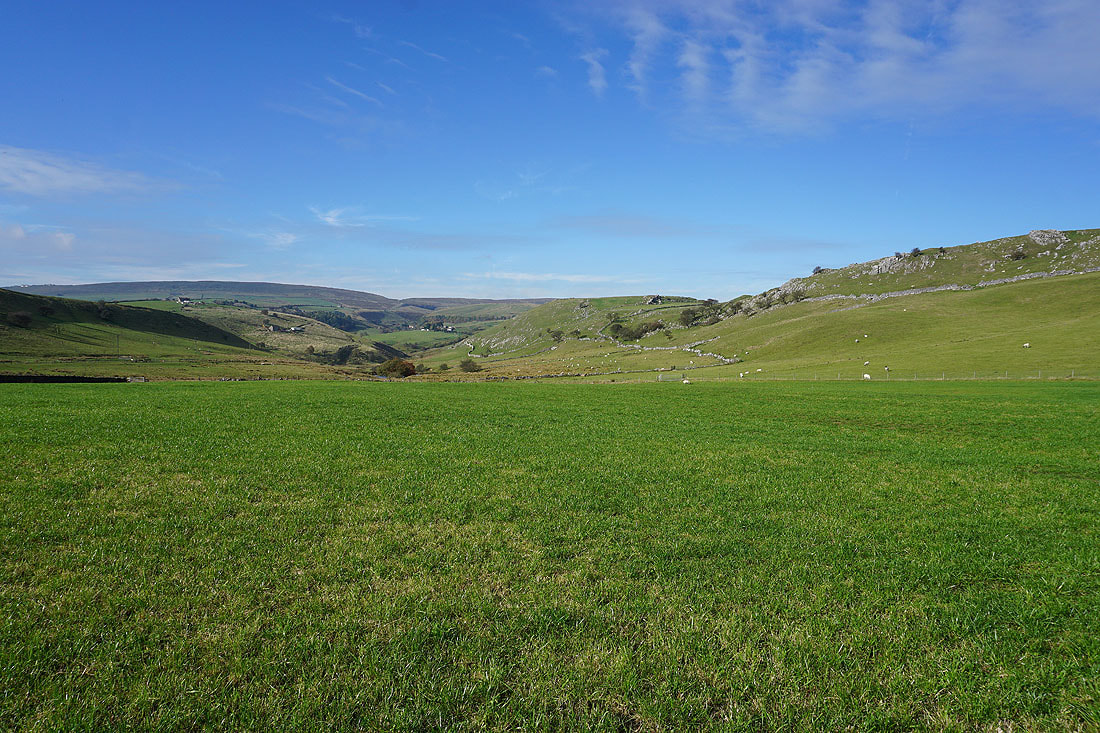
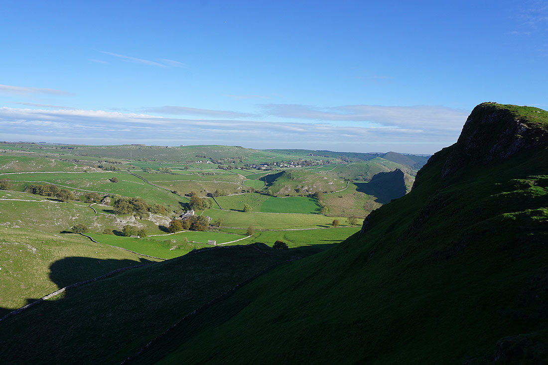
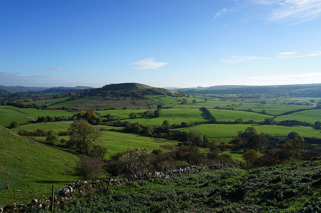
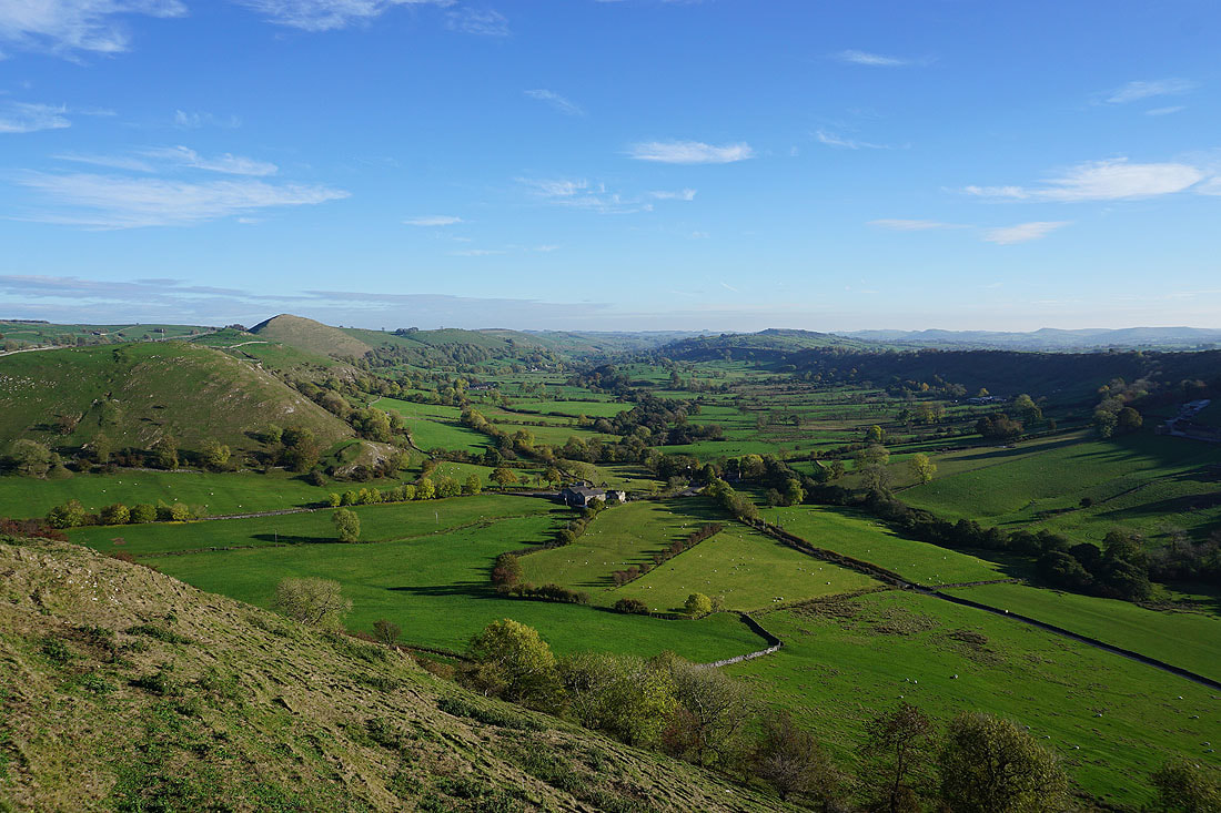
The Dove Valley from the southern end of Hollins Hill..
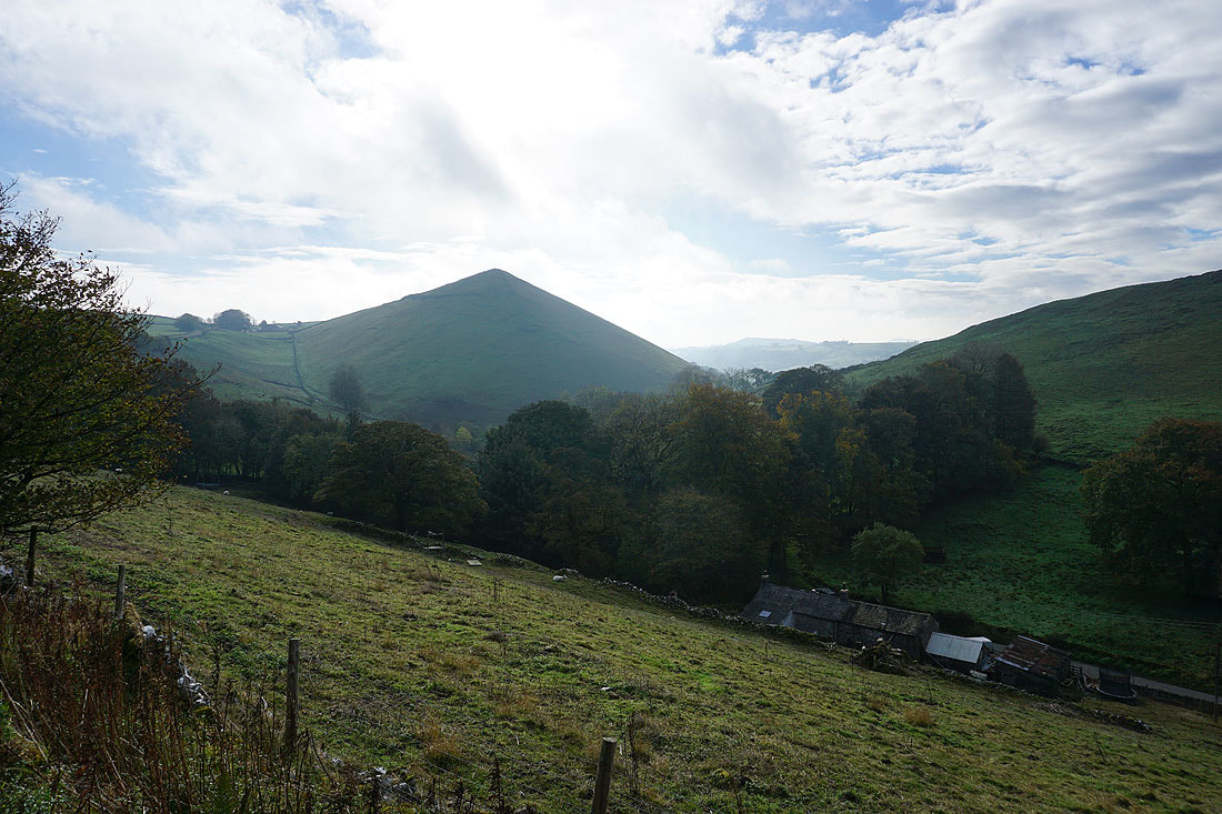
..and Chrome Hill. I spent a good ten minutes stood here waiting for the sun to come out. The cloud has really started to break up and clear but a stubborn patch wouldn't move away from the sun. I've got to move on at some point.
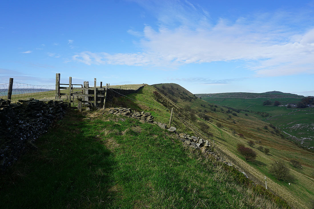
Heading for the top of Hollins Hill
Axe Edge and Axe Edge Moor from the top of Hollins Hill
Looking down the valley of Swallow Brook to Chrome Hill
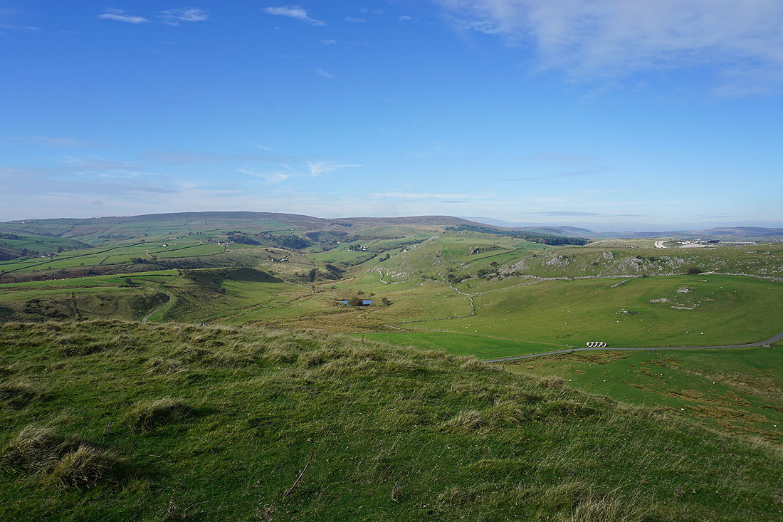
Sunny skies over the Staffordshire moors to the southwest
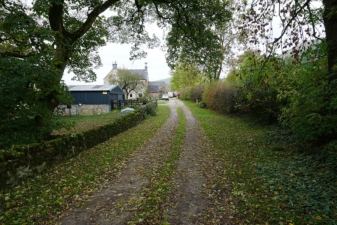
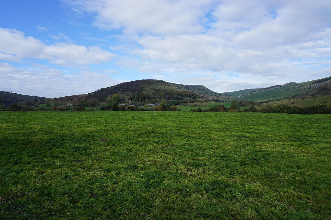
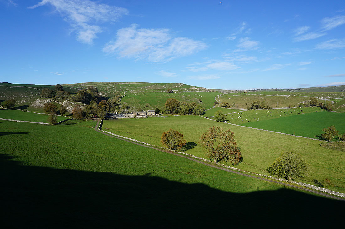
Booth Farm as I leave Hollins Hill
Axe Edge and Thirkelow Rocks from the lane from Booth Farm
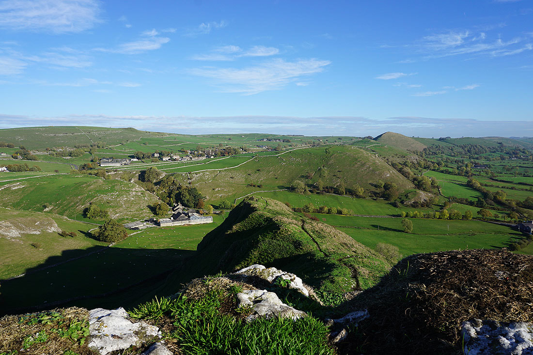
On the concessionary path past Stoop Farm to Chrome Hill
Hollins Hill and Stoop Farm
Approaching Chrome Hill
and the climb begins
Looking across to Earl Sterndale as I near the top. The cloud that has been in the way of the sun is finally dissipating.
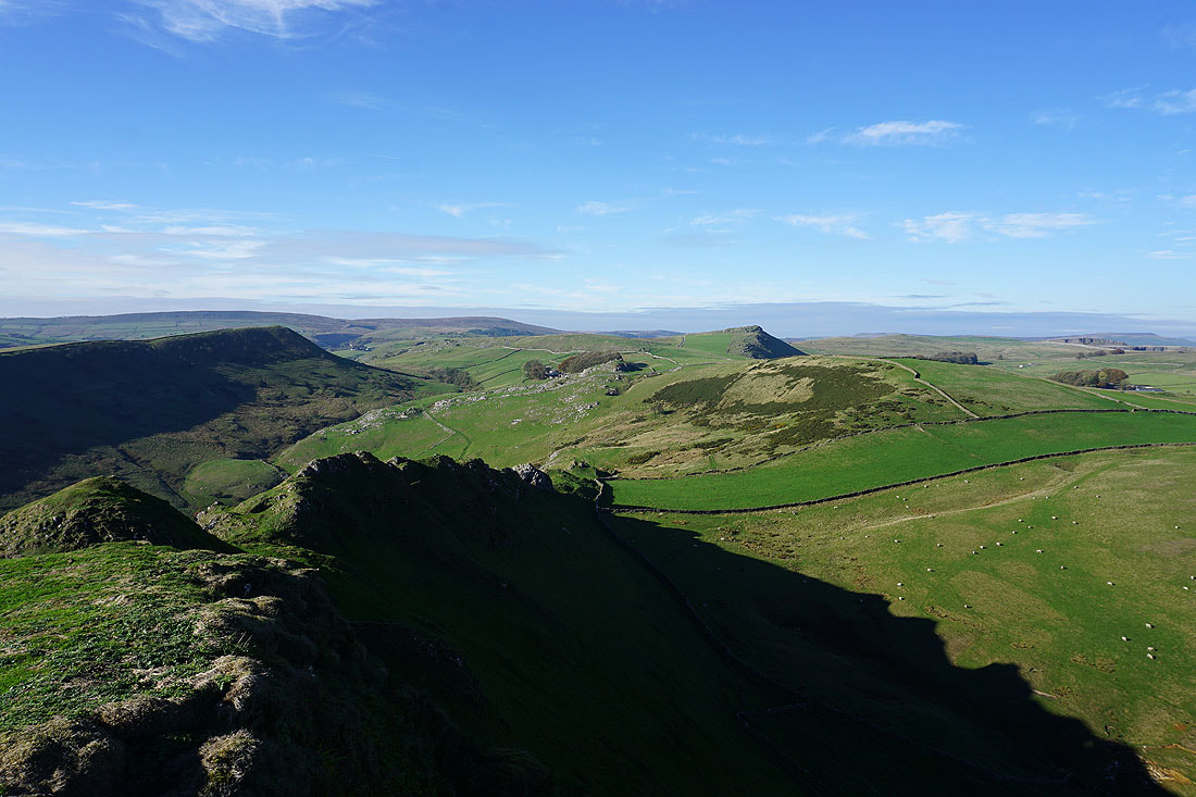
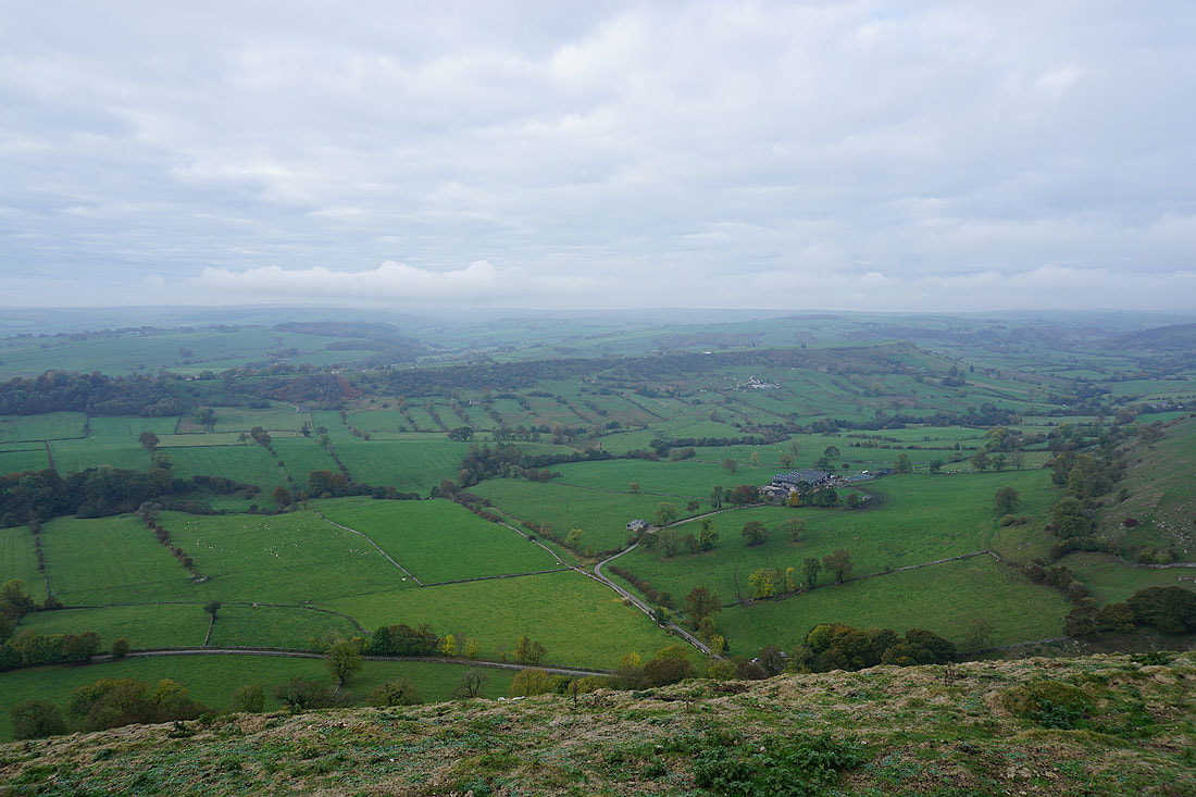
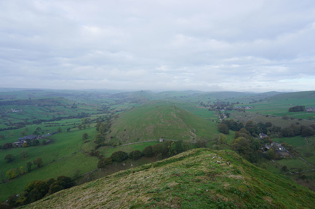
Hollins Hill, Axe Edge and High Edge from the top of Chrome Hill
Kinder Scout way in the distance
Earl Sterndale, Parkhouse Hill, High Wheeldon and the Dove Valley
Dowall Hall below
Approaching the sycamore on Chrome Hill's east ridge
Looking across the Dove Valley to Nabend
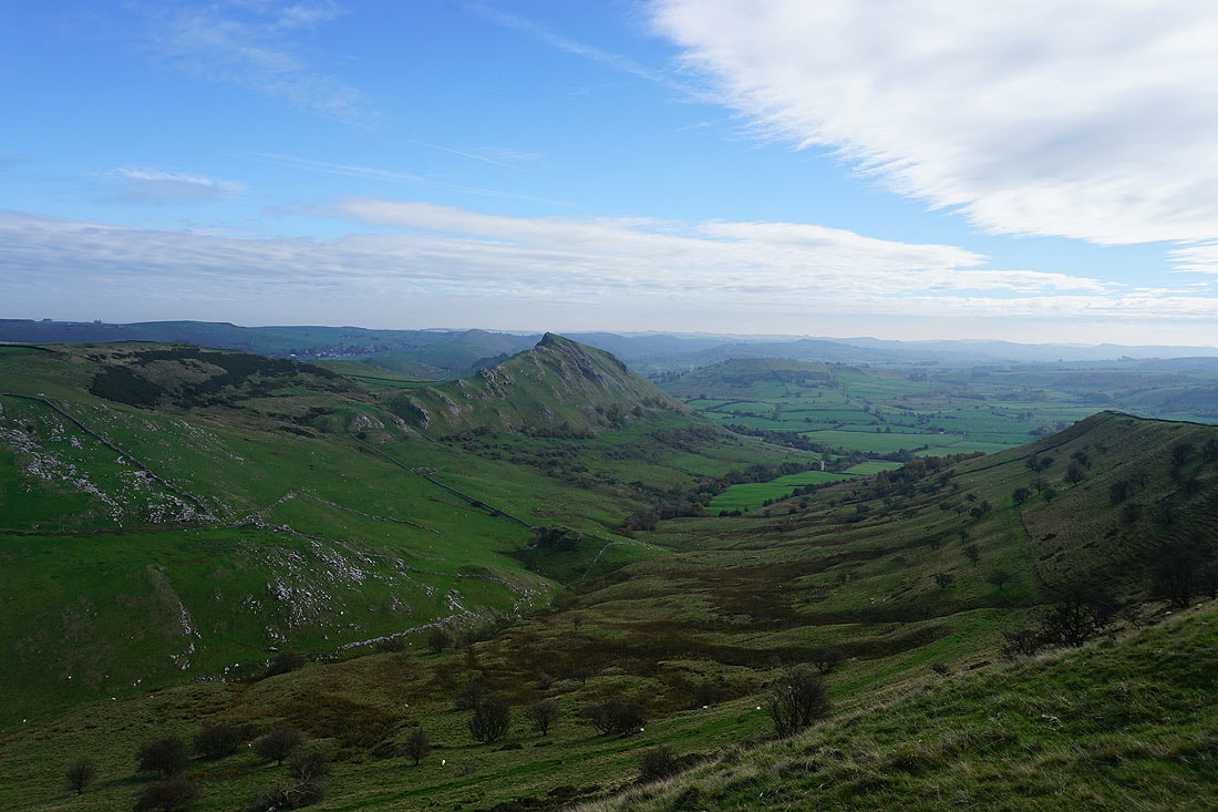
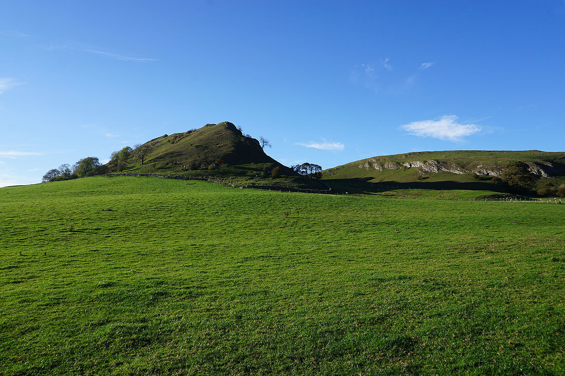
Parkhouse Hill becomes more imposing as I get lower down
Dowall Hall at the entrance to Dowel Dale
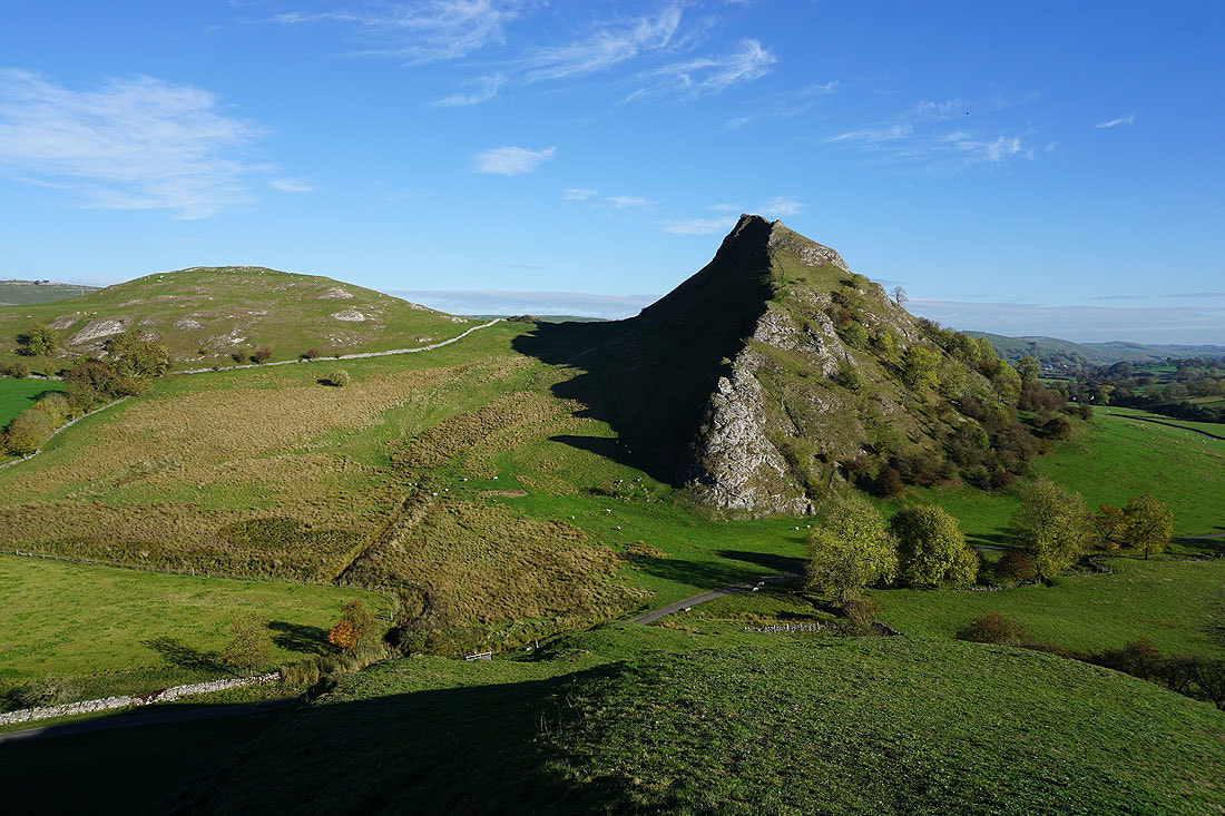
Nearly down to the road. I've got a steep climb ahead of me.
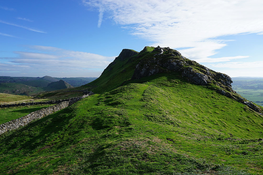
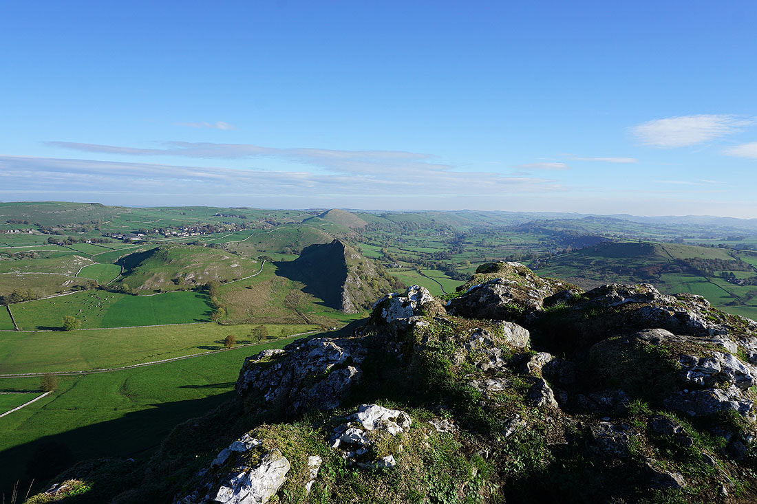
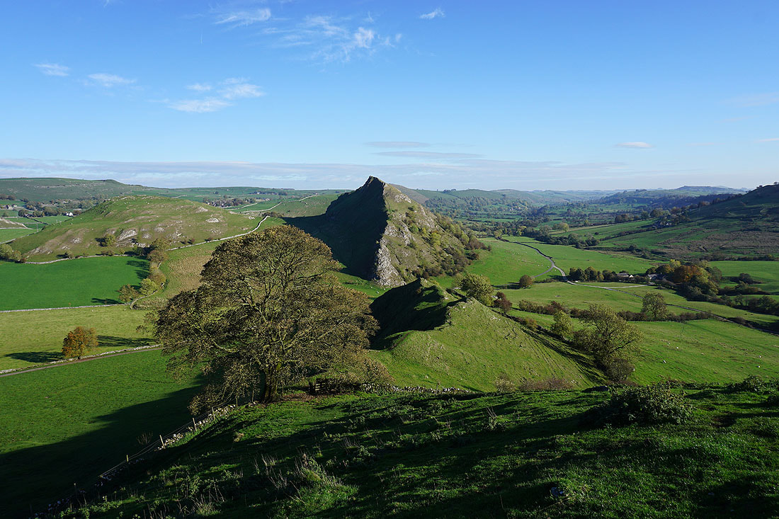
Chrome Hill and Dowall Hall from just above the limestone pinnacle at the western end of Parkhouse Hill
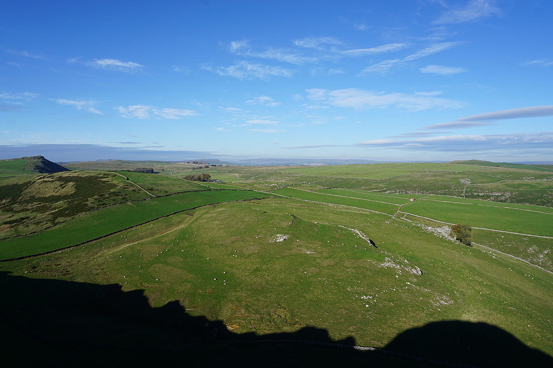
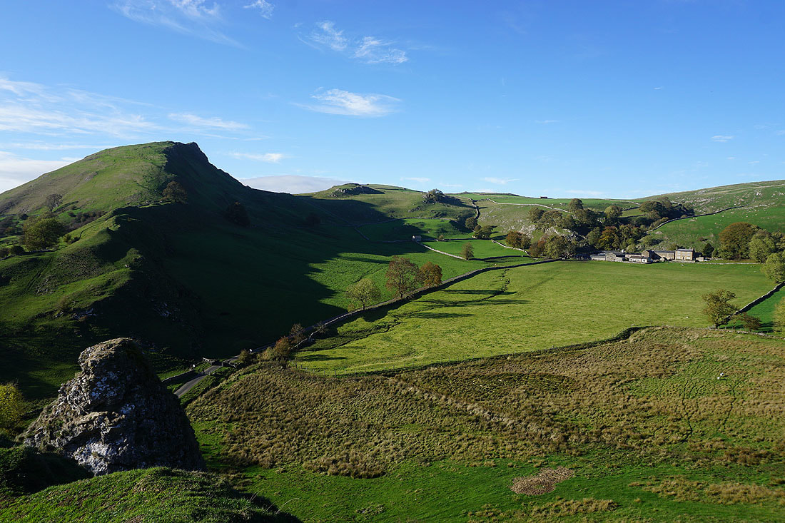
Glutton Grange, Earl Sterndale, Hitter Hill and High Wheeldon from the top of Parkhouse Hill
Chrome Hill and Dowall Hall
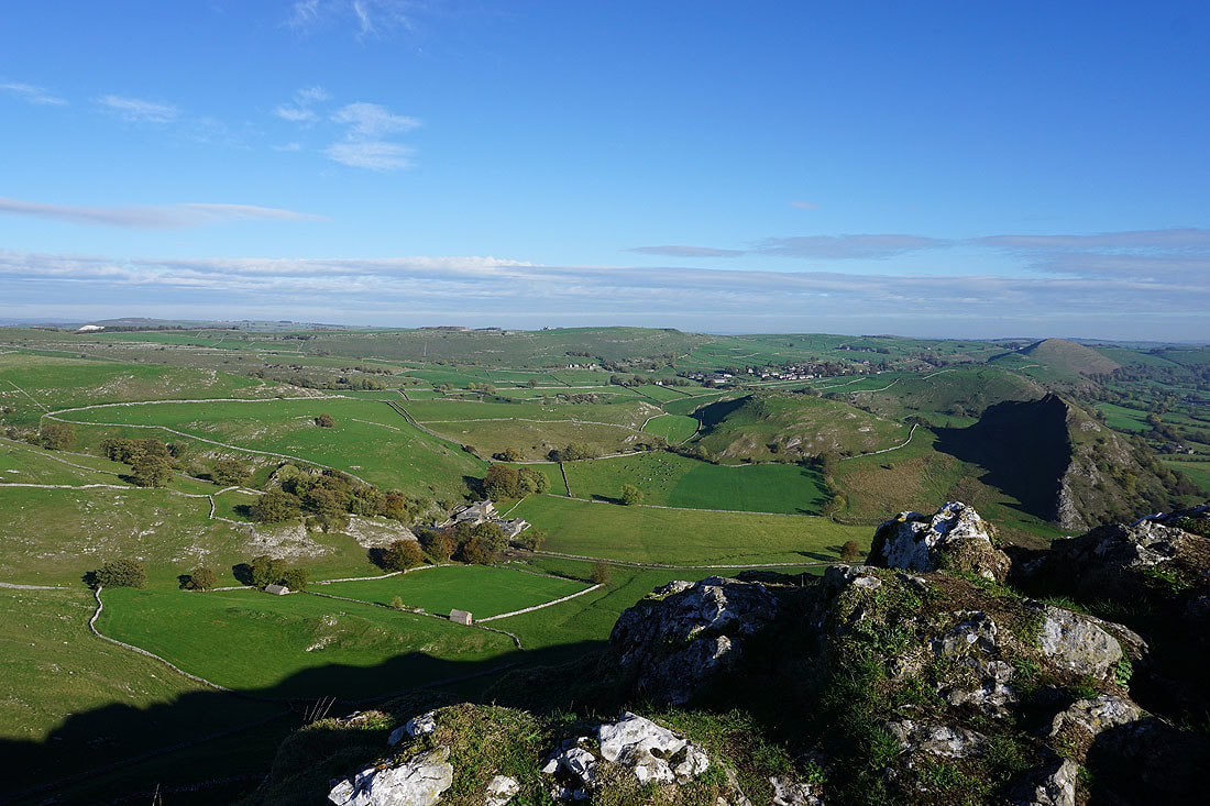
Looking southwest towards Hollinsclough with the Staffordshire moors beyond
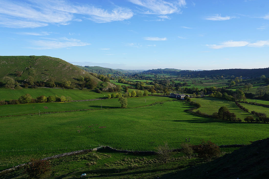
High Wheeldon and the Dove Valley
A peep round the corner to Chrome Hill as I start the steep descent of Parkhouse Hill
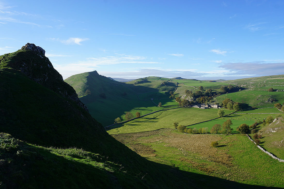
Hitter Hill, Glutton Bridge and the Dove Valley
Glutton Grange
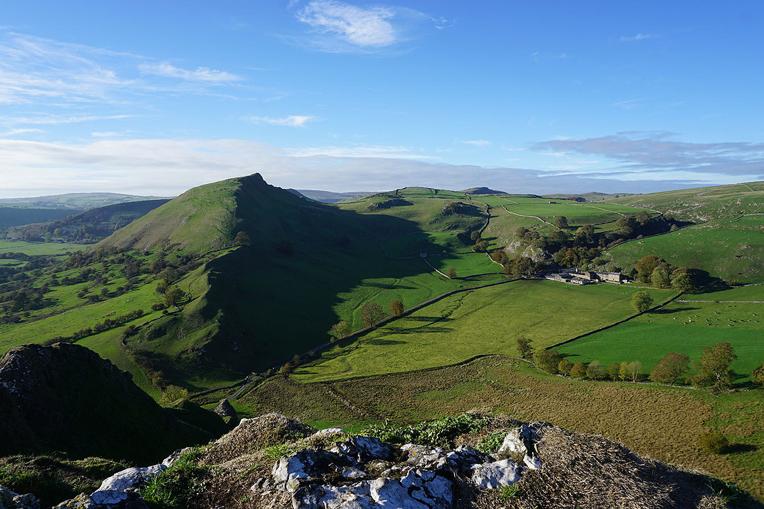
and Parkhouse Hill, which doesn't look that steep from this angle
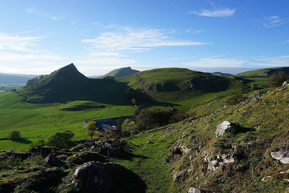
Parkhouse Hill, the top of Chrome Hill and Glutton Grange as I take the path up onto Hitter Hill
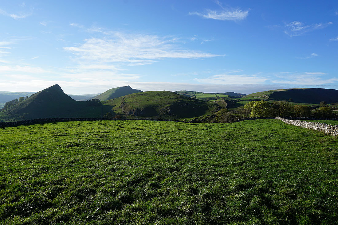
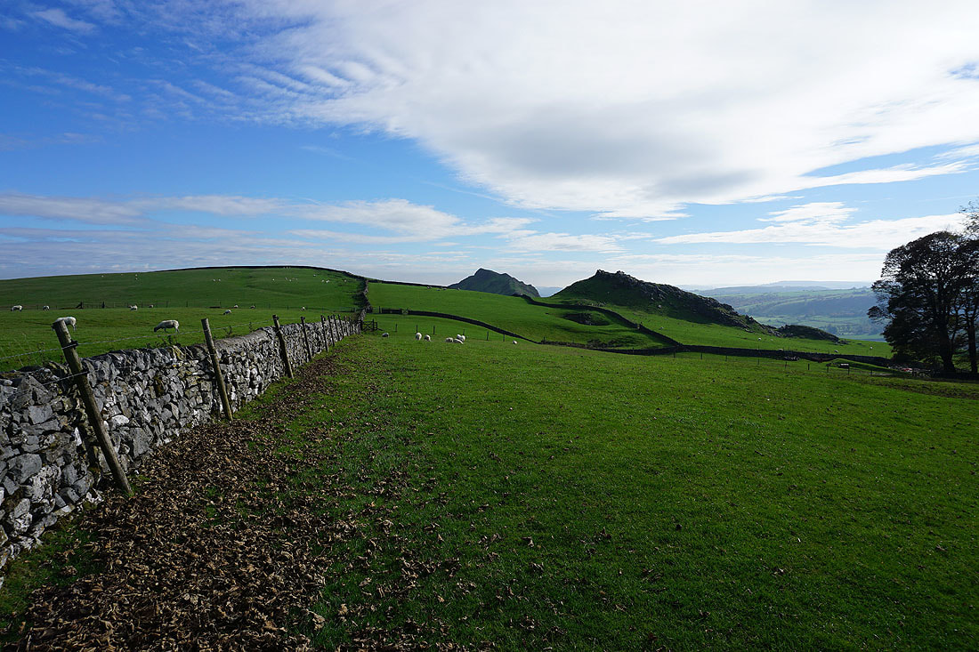
Great views of Parkhouse Hill, Chrome Hill and Upper Edge to the west and northwest from Hitter Hill..
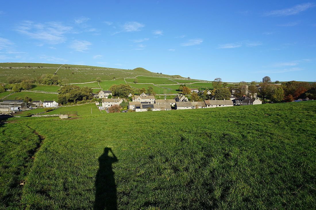
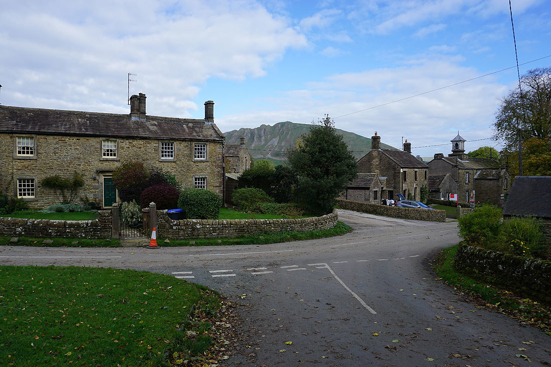
At the end of the walk with Earl Sterndale bathed in the afternoon sun