20th September 2009 - Helvellyn
Walk Details
Distance walked: 9.1 miles
Total ascent: 3458 ft
OS map used: OL5 - The English Lakes, North-eastern area
Time taken: 6.5 hrs
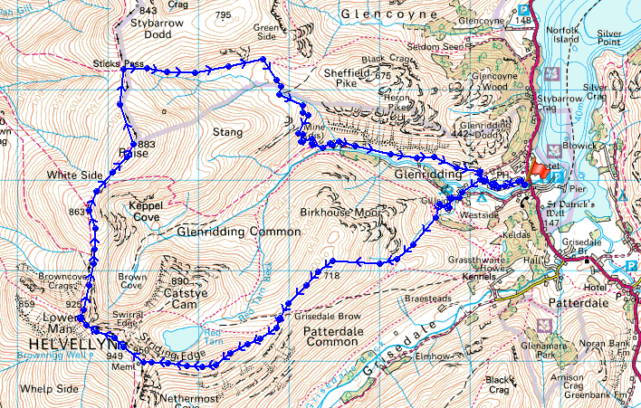
Route description: Glenridding-Mires Beck-Birkhouse Moor-Hole in the Wall-Striding Edge-Helvellyn-Helvellyn Lower Man-Whiteside-Raise-Sticks Pass-Glenridding
After setting off from Glenridding I took the Mires Beck path up onto Birkhouse Moor. Once onto Birkhouse Moor I made my way along to the Hole-in-the-Wall and then I did the ascent of Helvellyn by Striding Edge. From Helvellyn I then walked along the ridge over Lower Man, Whiteside and Raise. From Raise I made my way down to Sticks Pass and then back to Glenridding.
Route map
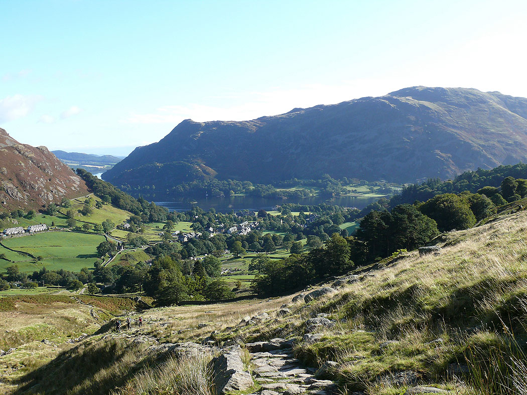
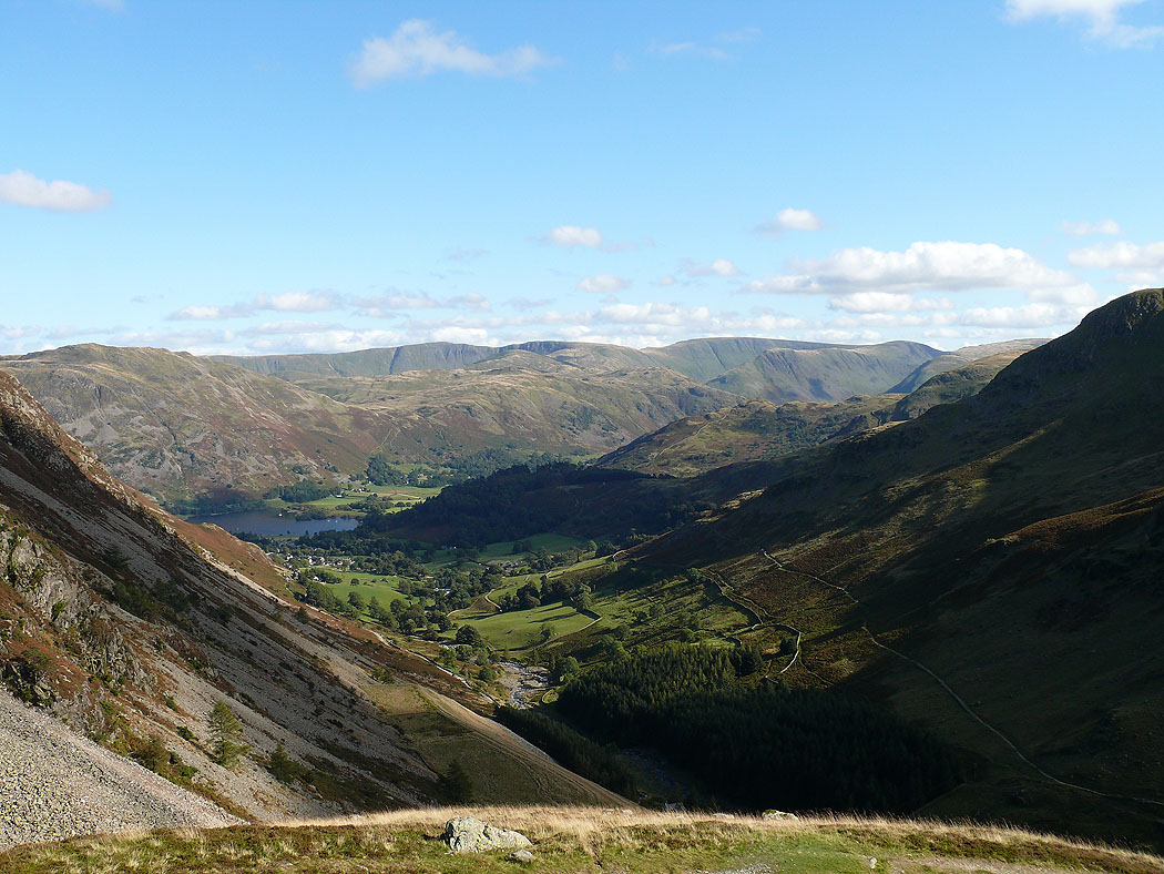
The view back to Glenridding from the path by Mires Beck up Birkhouse Moor
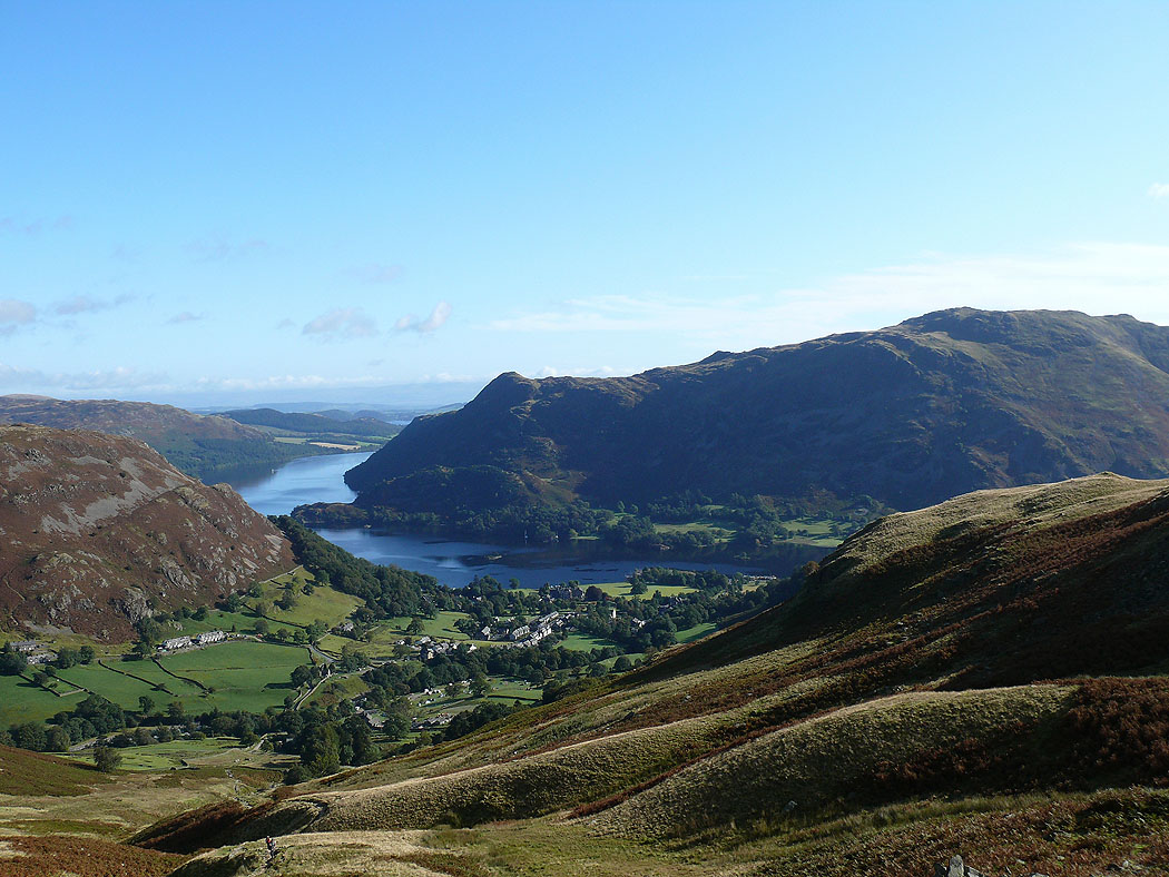
Higher up and Ullswater comes into view
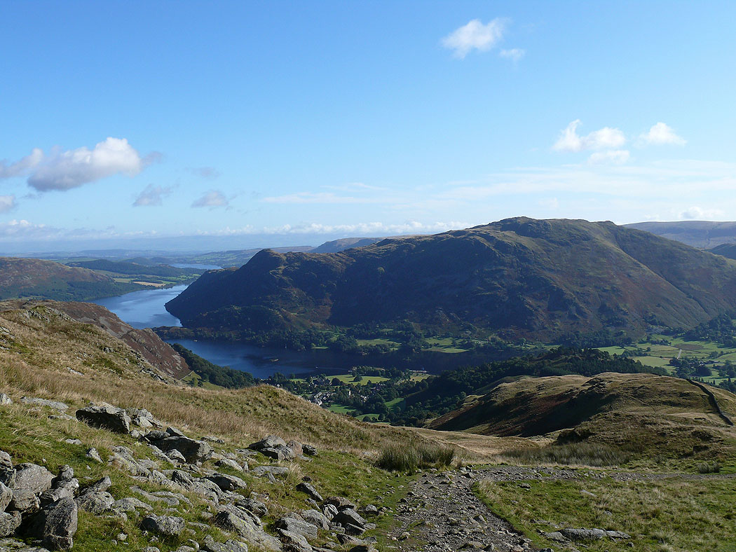
Ullswater and Place Fell
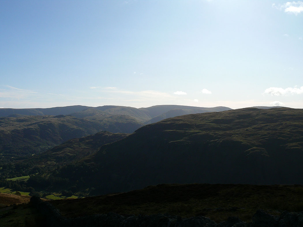
The view across to High Street
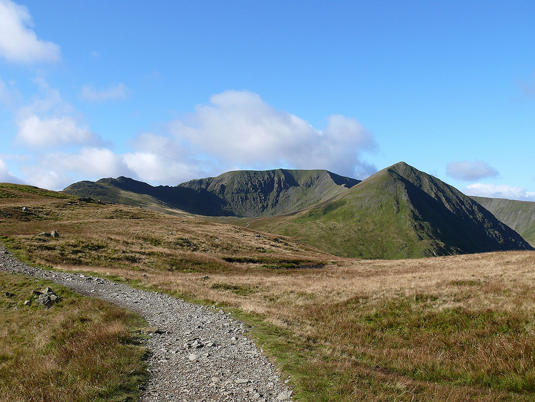
First view of Helvellyn
The view ahead from Birkhouse Moor
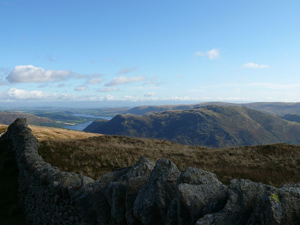
Place Fell across the wall
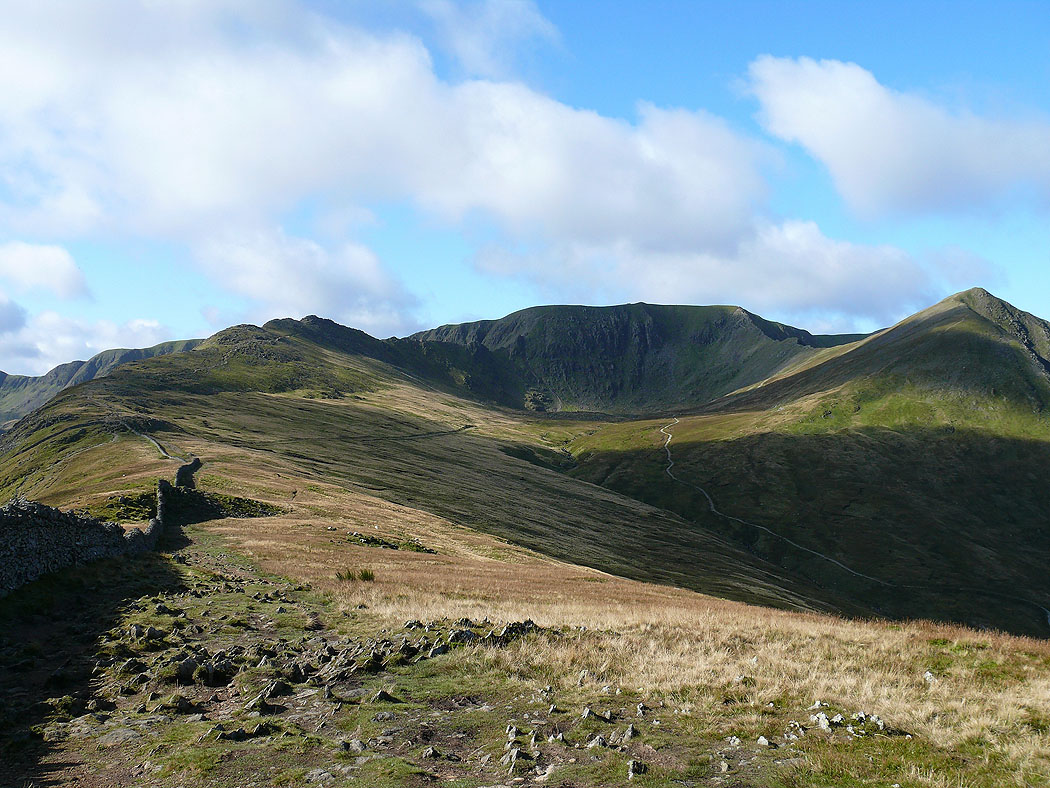
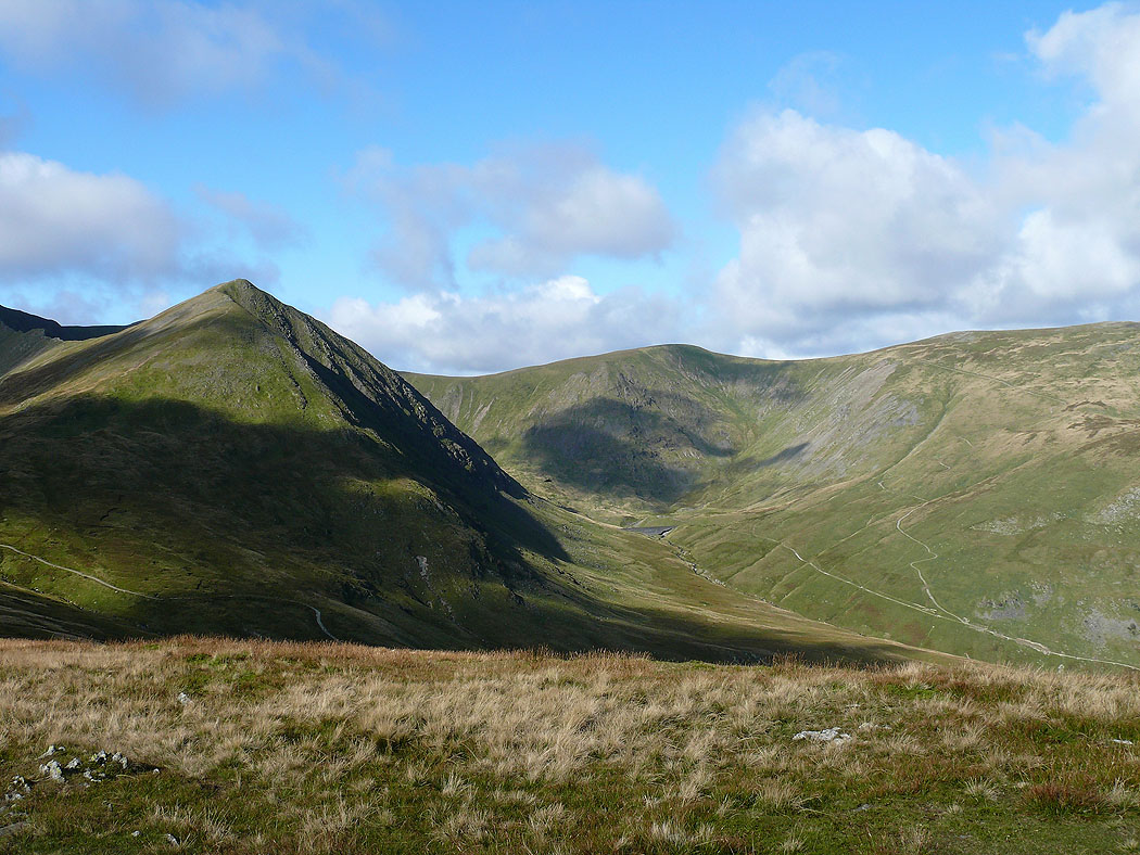
Catstye Cam and Whiteside above Keppel Cove
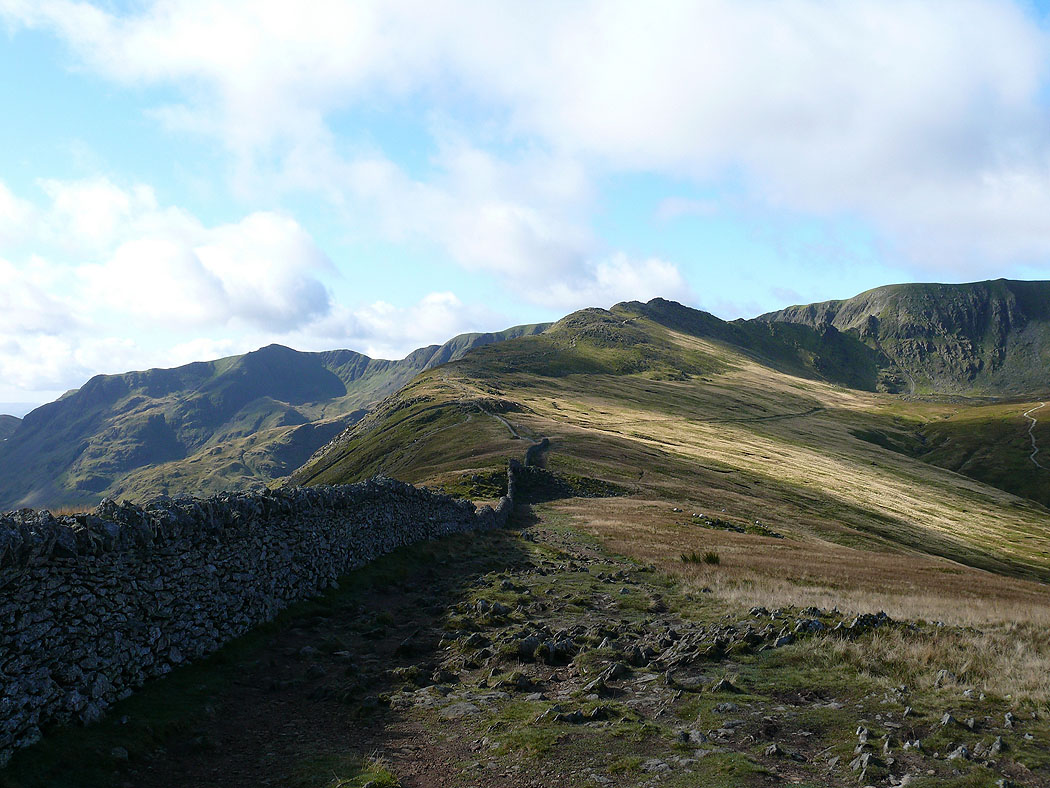
Follow the wall to High Spying How and Striding Edge
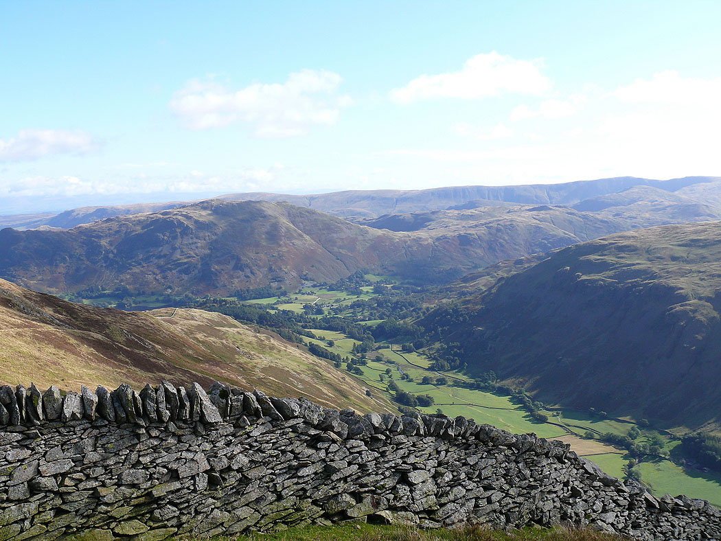
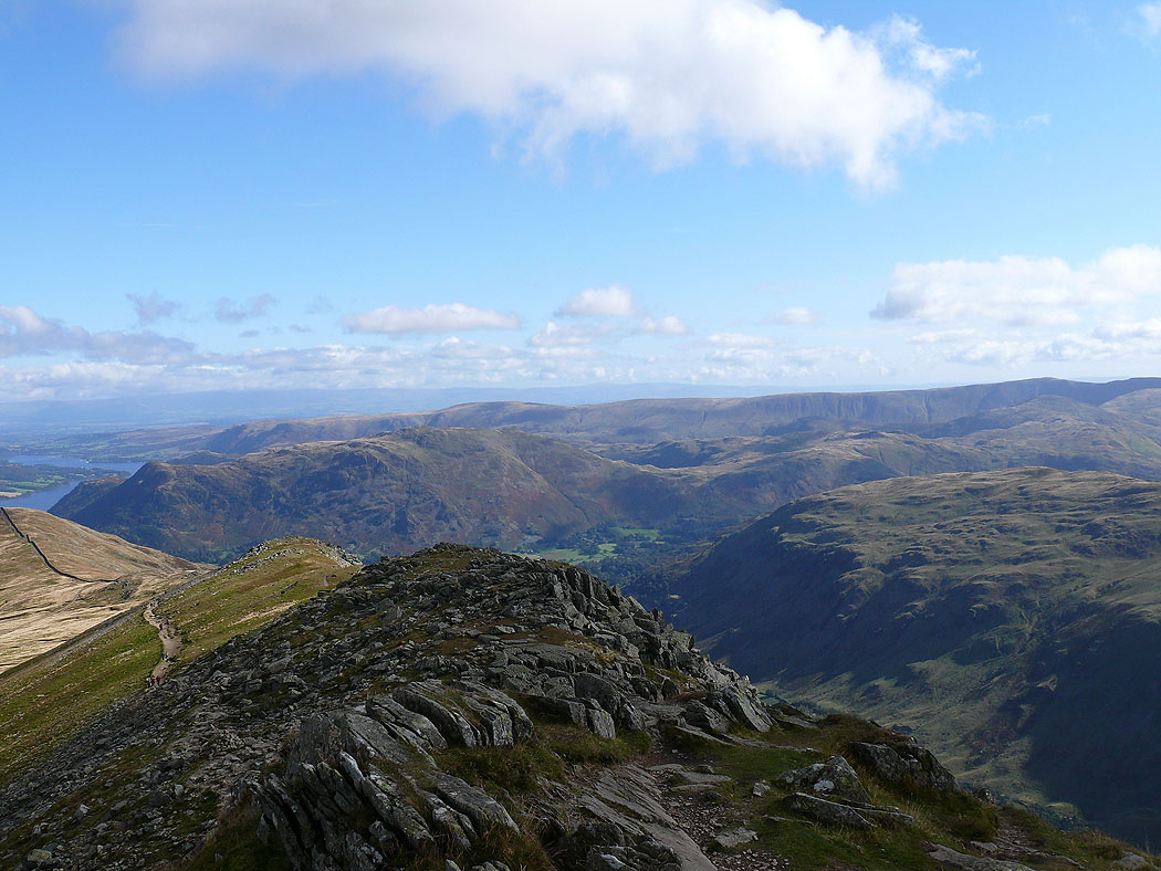
The valley of Grisedale below
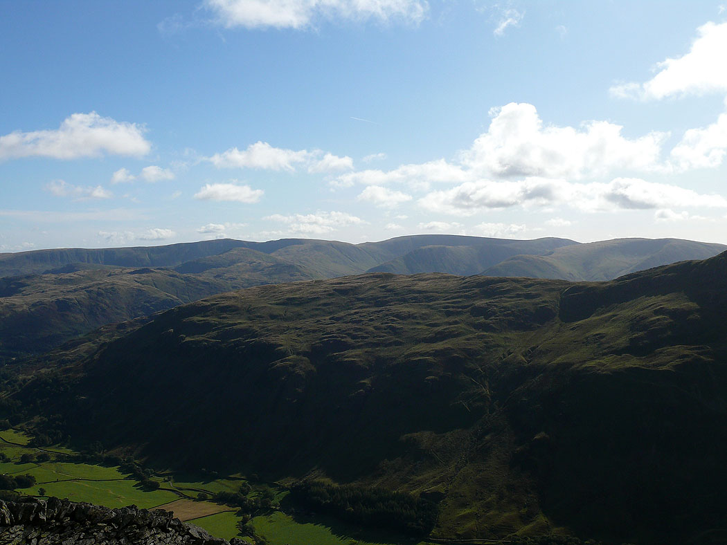
The view across Birks to the far eastern fells
On Striding Edge
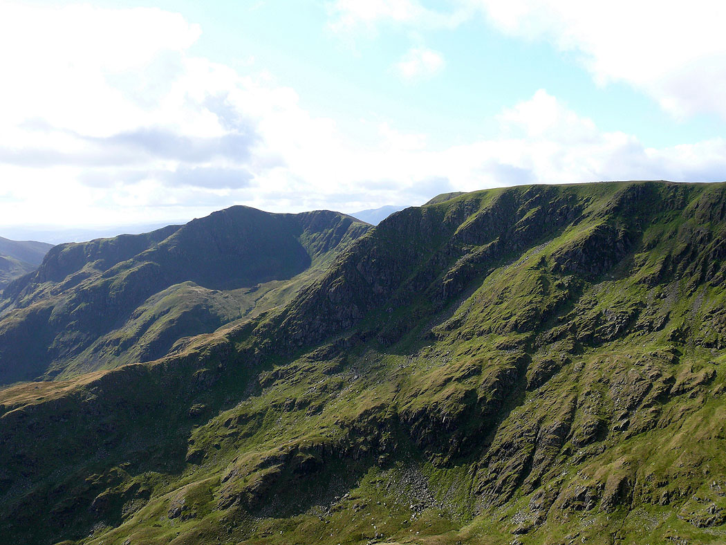
Dollywagon Pike and Nethermost Pike
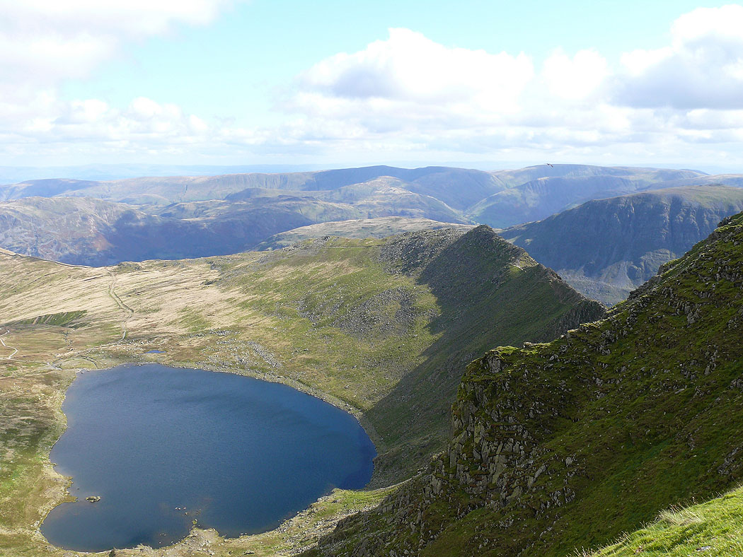
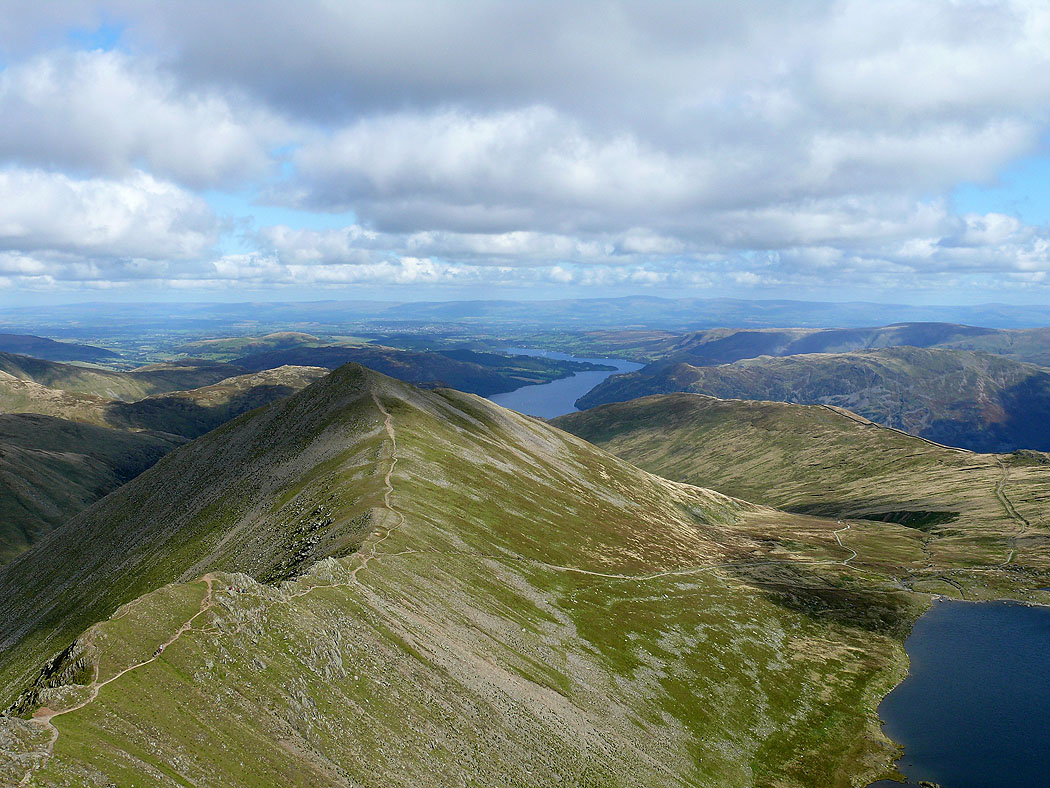
Catstye Cam on the other side of Red Tarn
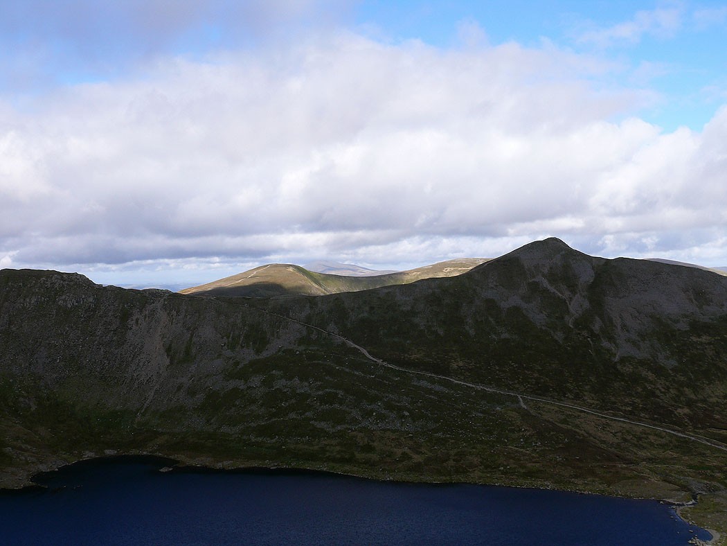
Loadpot Hill and Place Fell
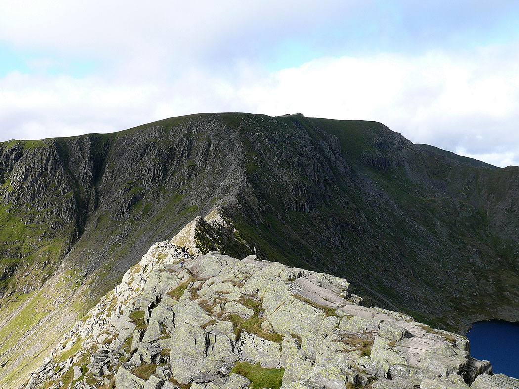
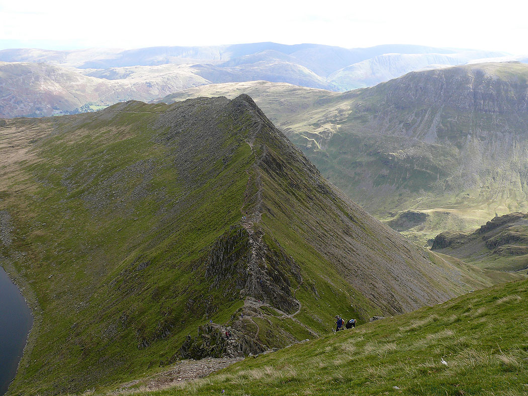
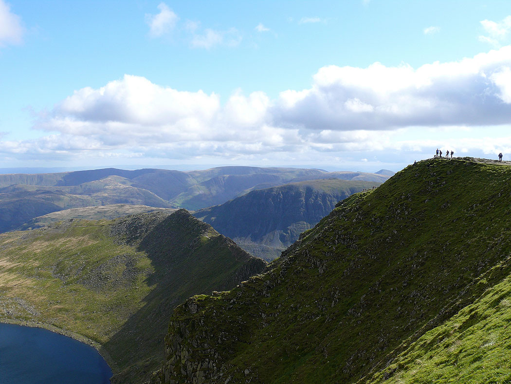
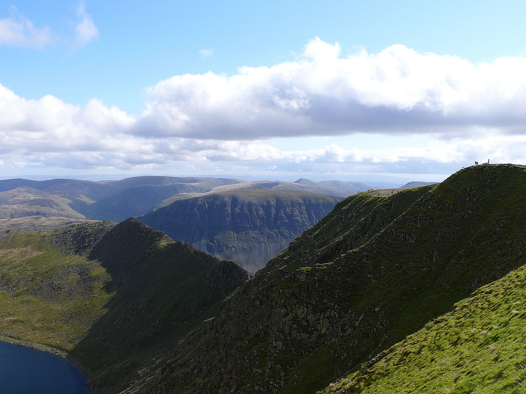
Striding Edge
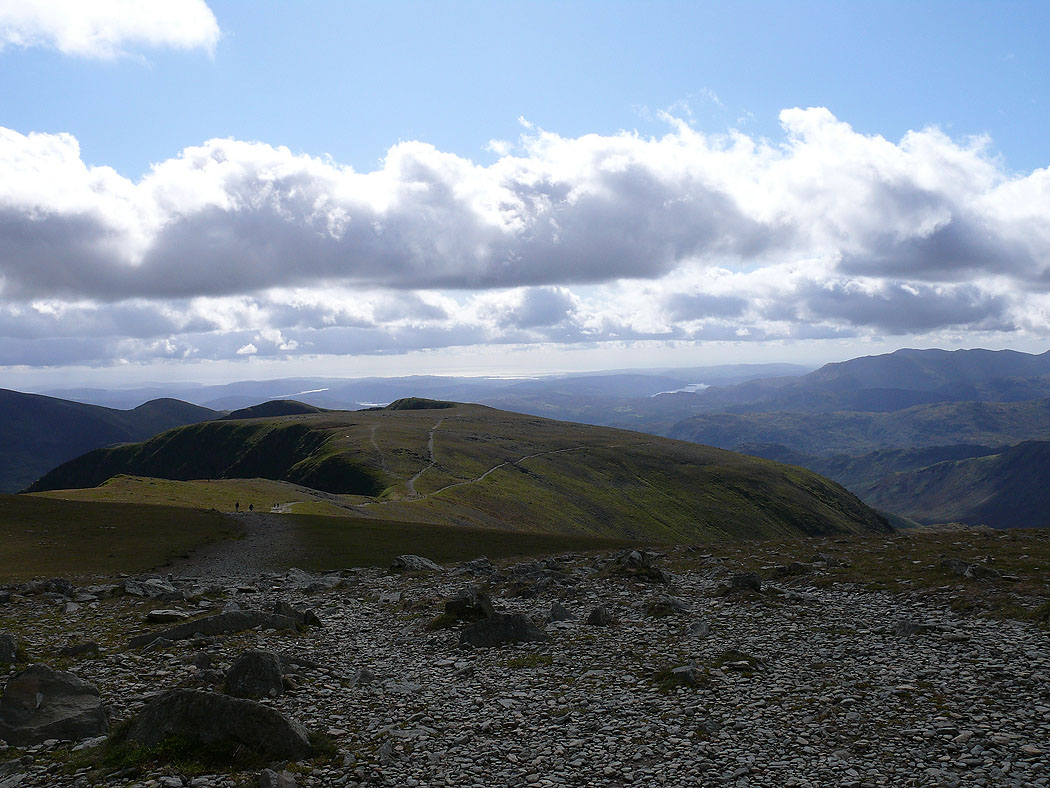
On the summit of Helvellyn. Paths heading across to Nethermost Pike.
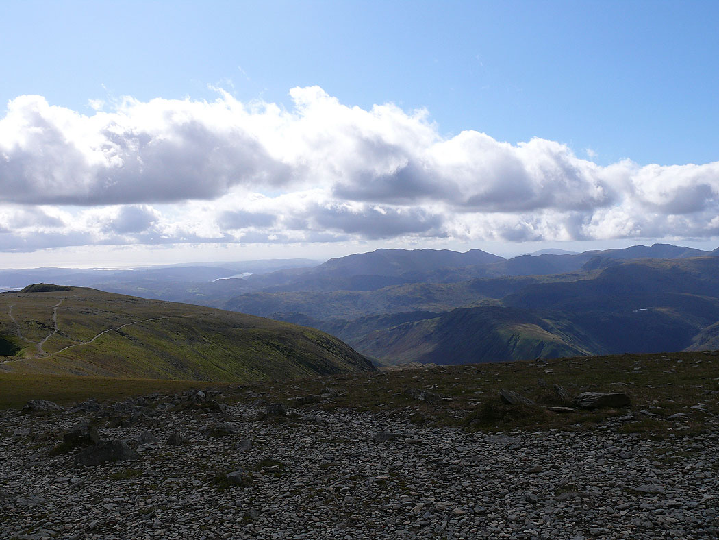
The view across to the Coniston fells
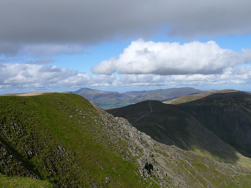
Skiddaw and Blencathra in the distance
Striding Edge below
Red Tarn and Striding Edge
Catstye Cam and Ullswater
St. Sunday Crag over Striding Edge
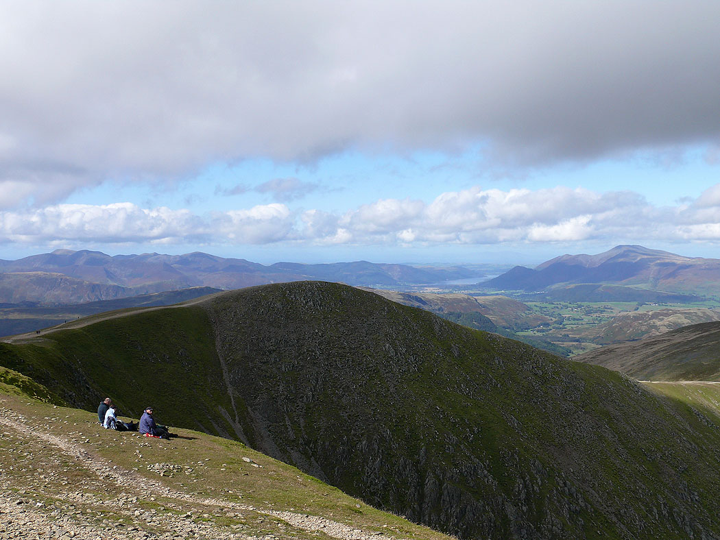
Skiddaw and Blencathra over the Dodds
Helvellyn Lower Man
Catstye Cam and Swirral Edge from Helvellyn Lower Man
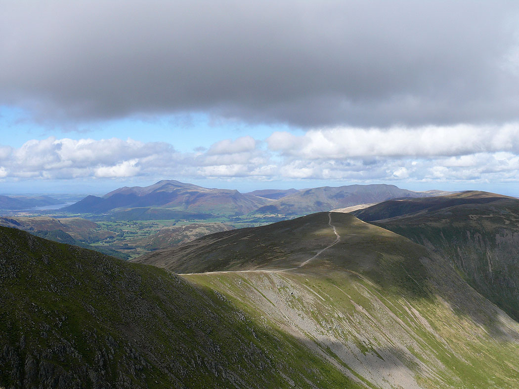
Skiddaw and Blencathra
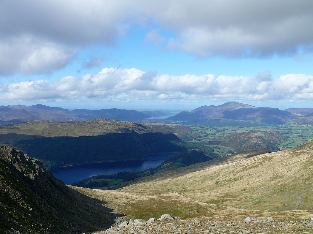
Looking northwest to Bassenthwaite Lake and Skiddaw
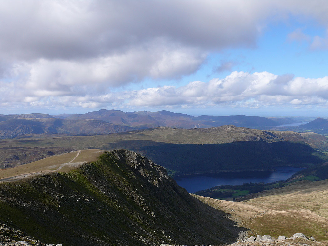
The northwestern fells over Browncove Crags
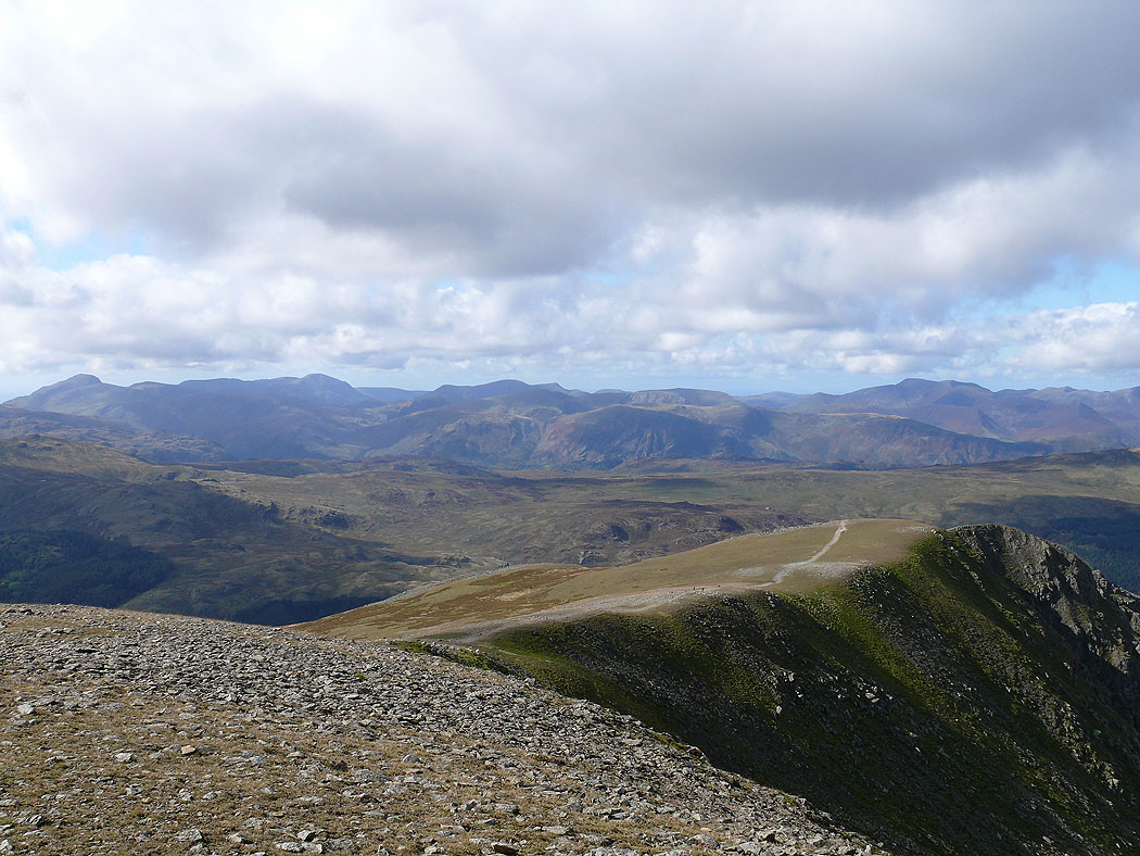
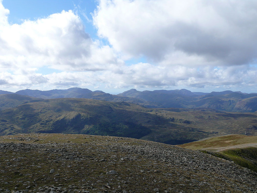
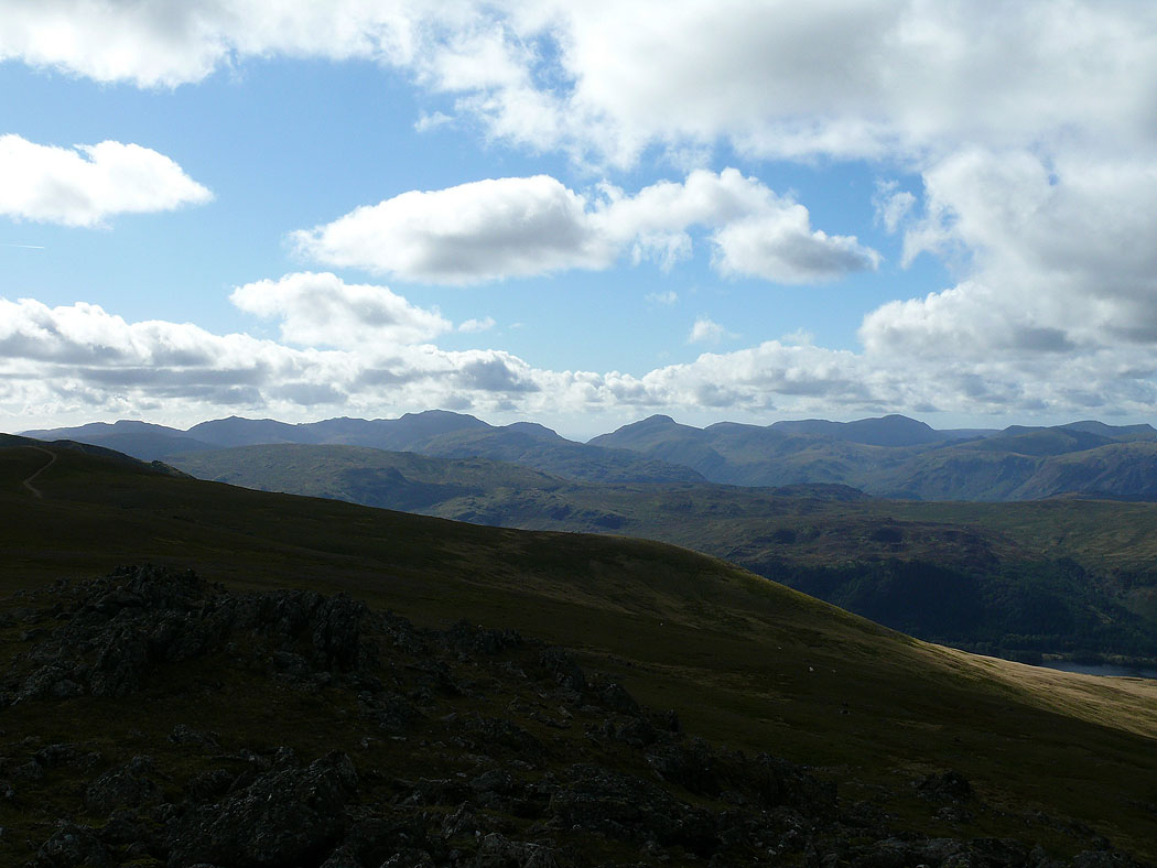
Great Gable, Pillar, the High Stile range and Crag Hill to name a few
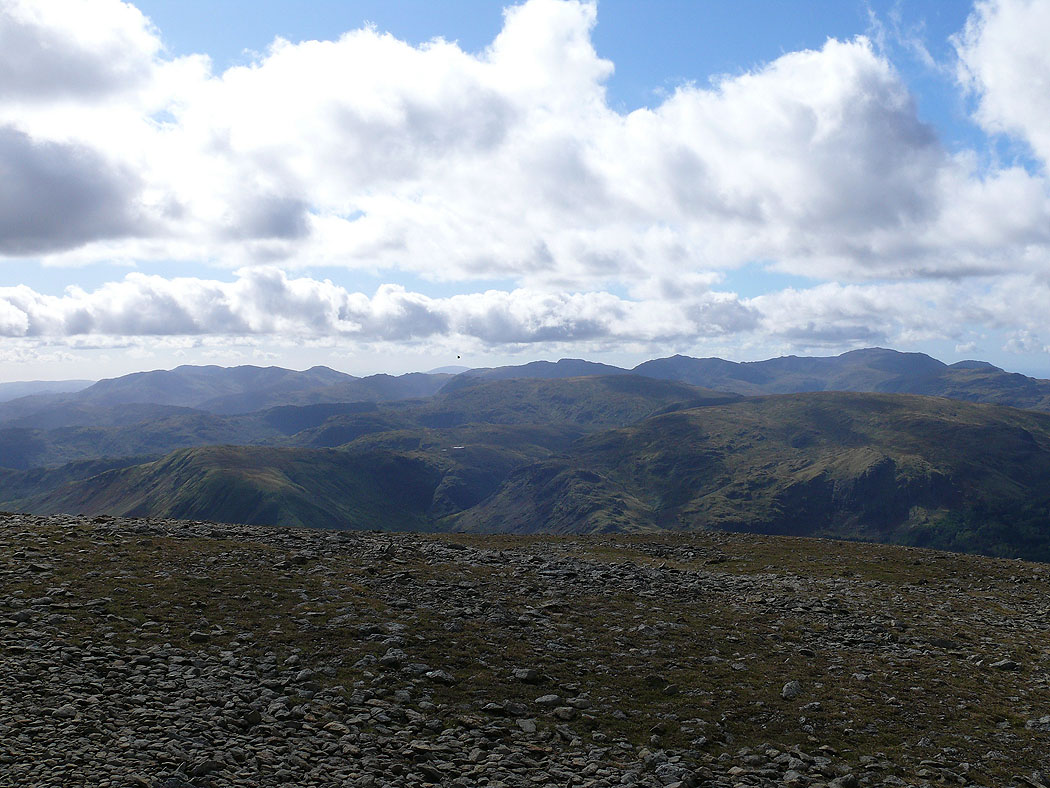
The Coniston fells, Crinkle Crags, Bowfell and the Scafell range
Bowfell, the Scafell range, Great Gable, Pillar and the High Stile range
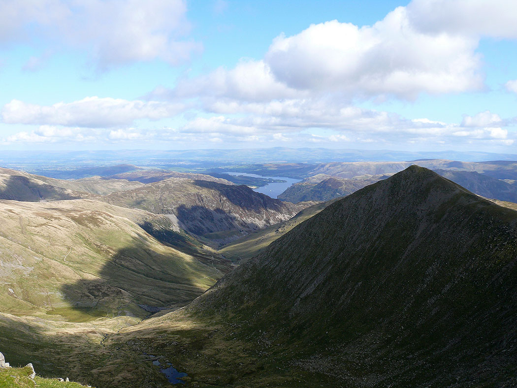
Ullswater and Catstye Cam
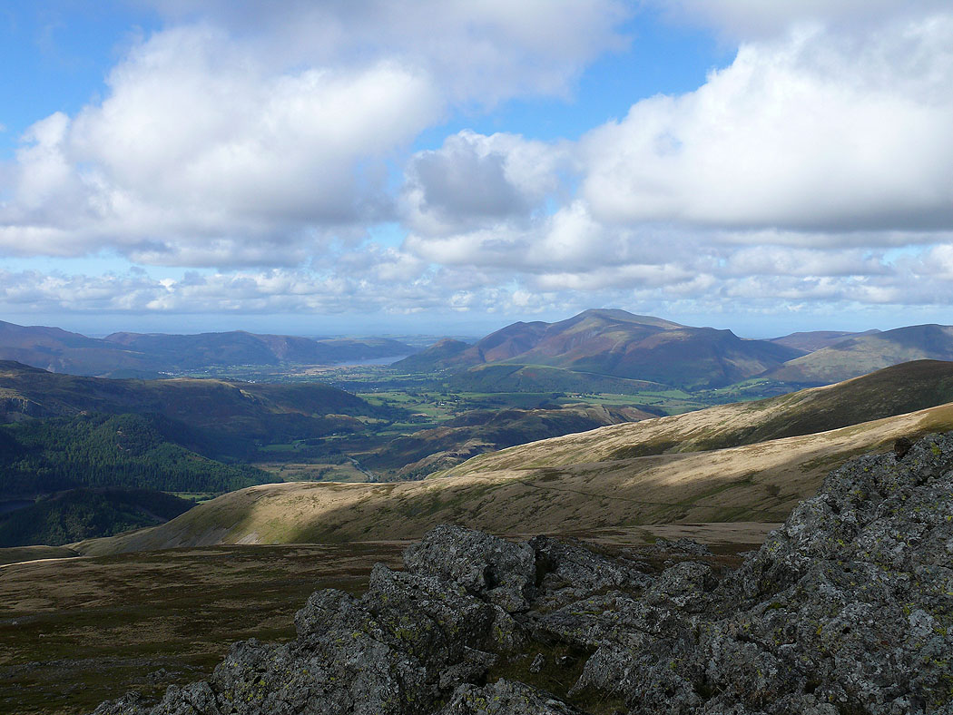
Skiddaw from Raise
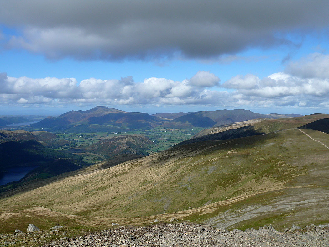
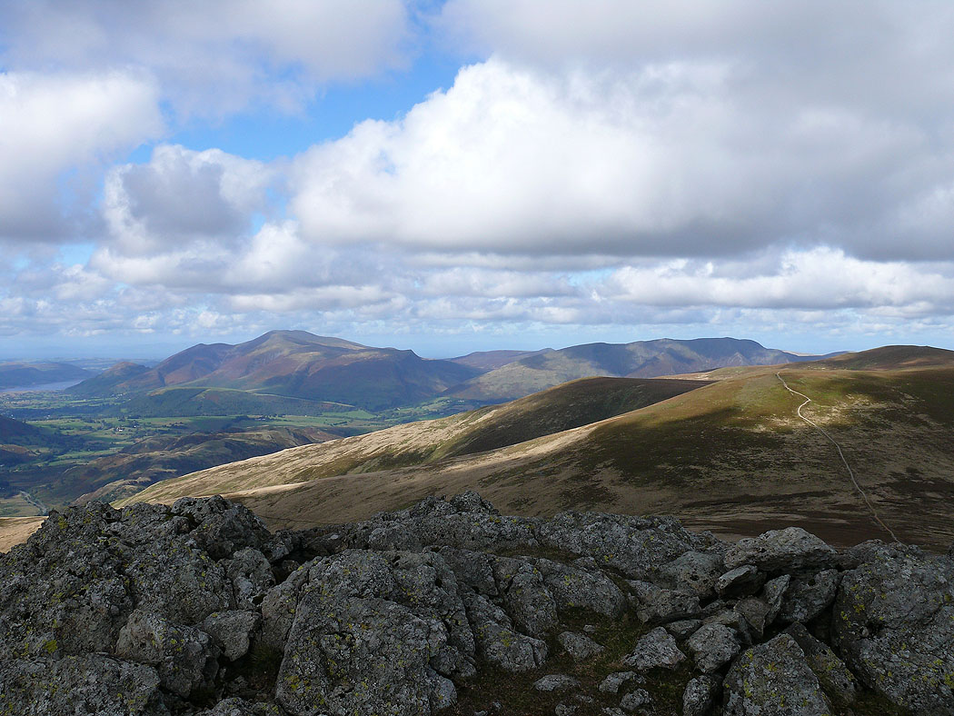
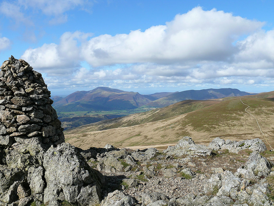
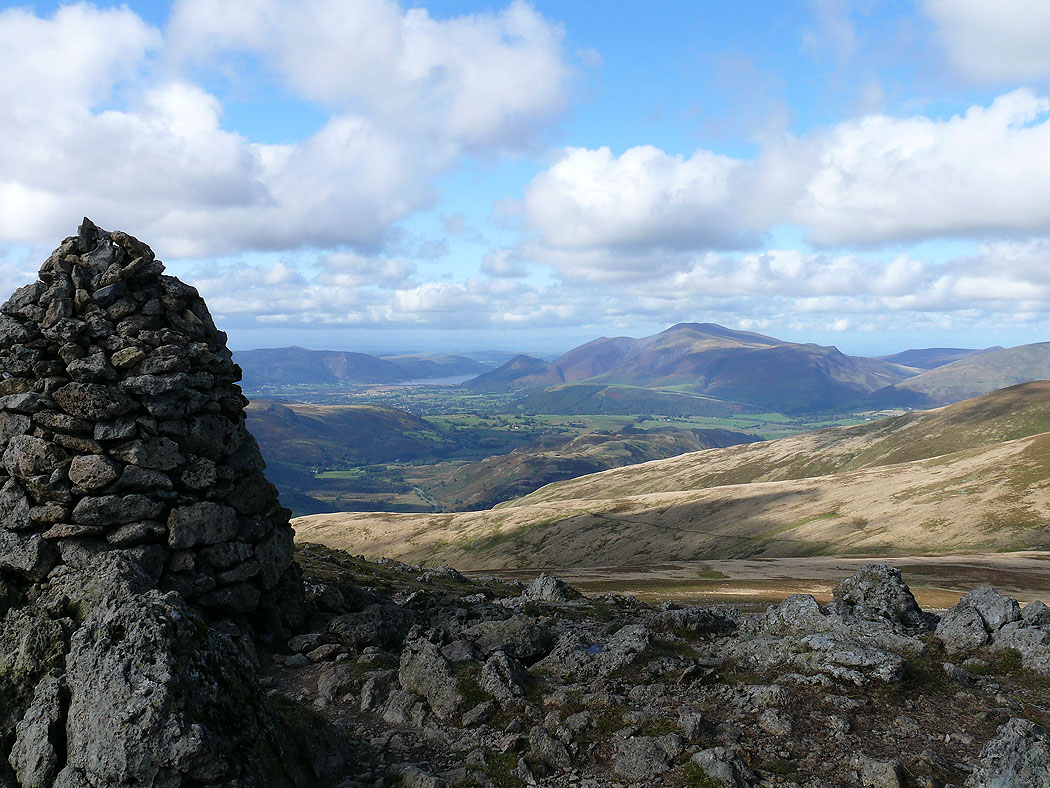
Skiddaw and Blencathra
Crinkle Crags, Bowfell, Scafell Pike, Great Gable, Pillar and the High Stile range
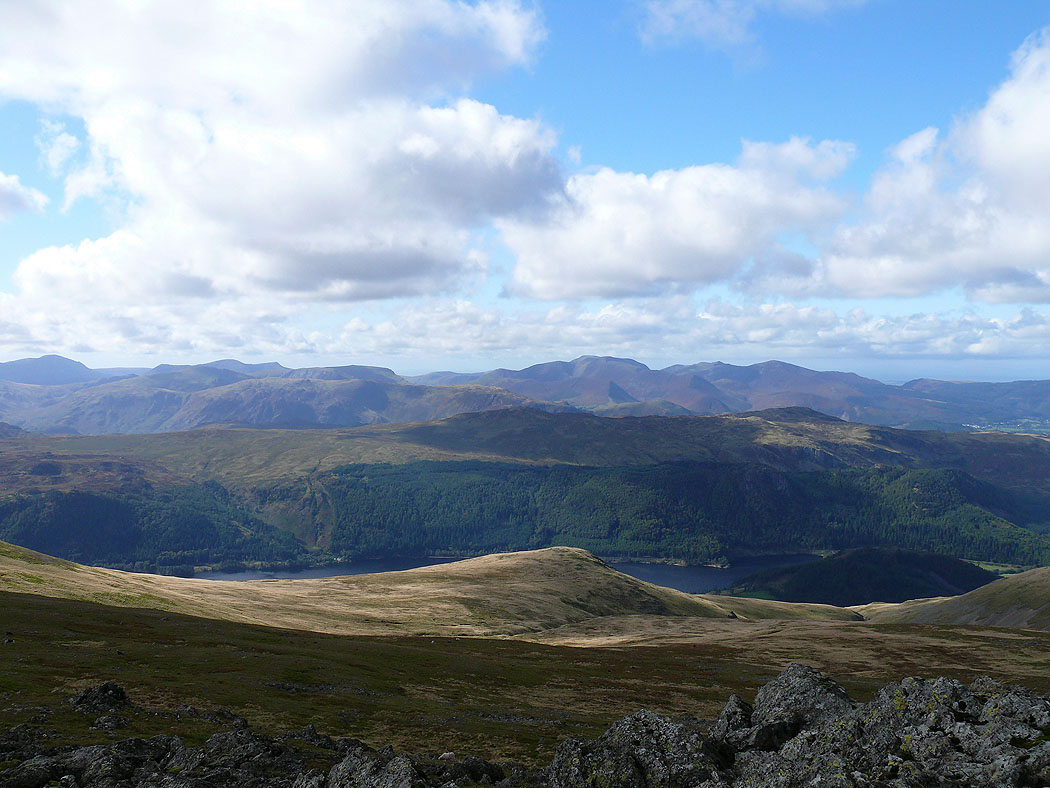
The northwestern fells beyond High Seat, Bleaberry Fell and Thirlmere
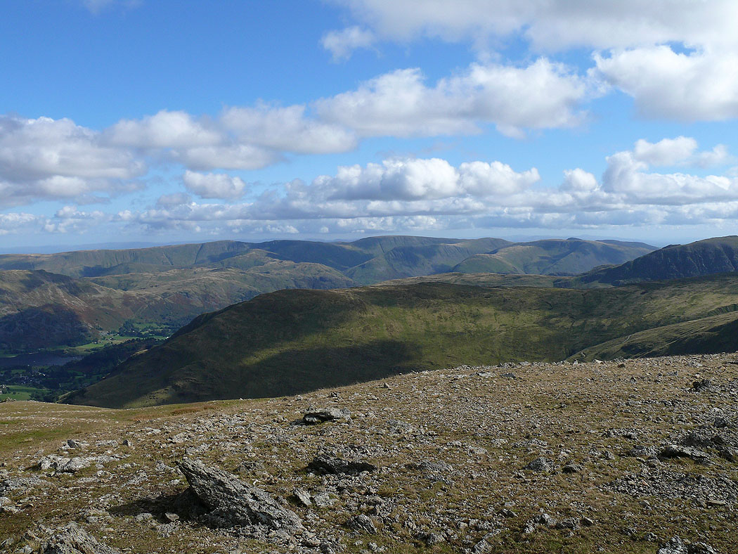
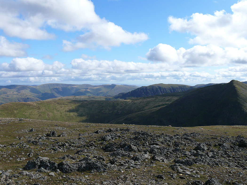
The view across to High Street and the far eastern fells
Ullswater and Sheffield Pike in view
Skiddaw and Blencathra from Raise
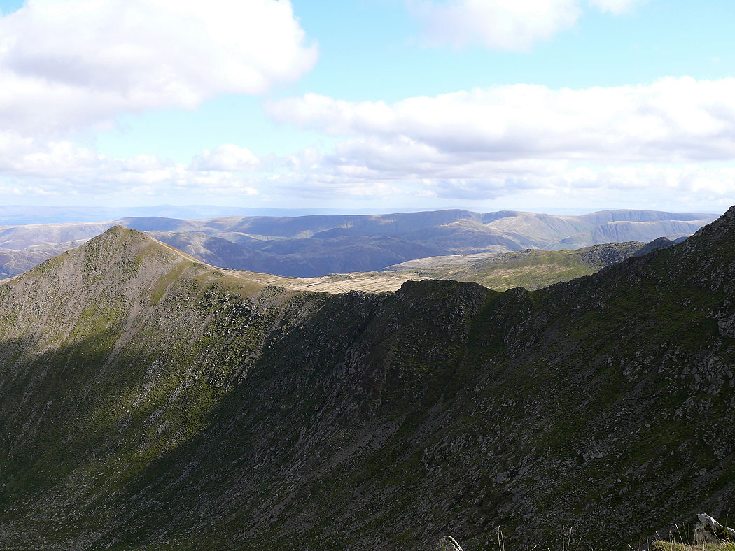
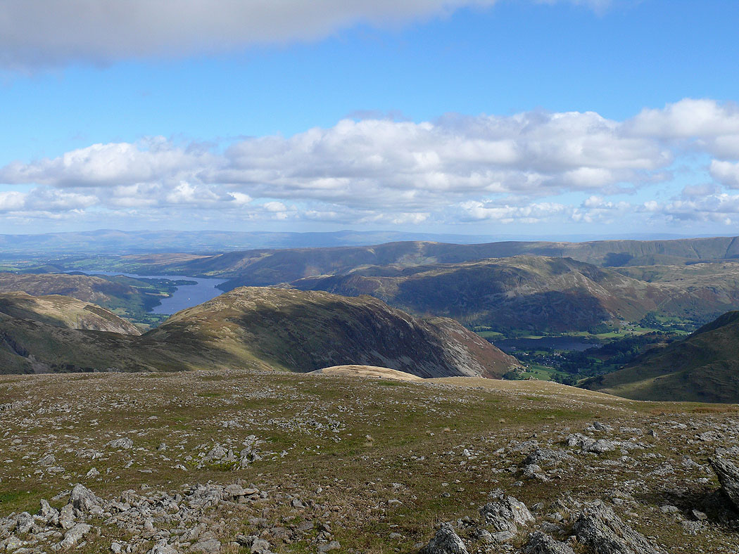
Far eastern fells, St. Sunday Crag and Catstye Cam
Skiddaw from Raise
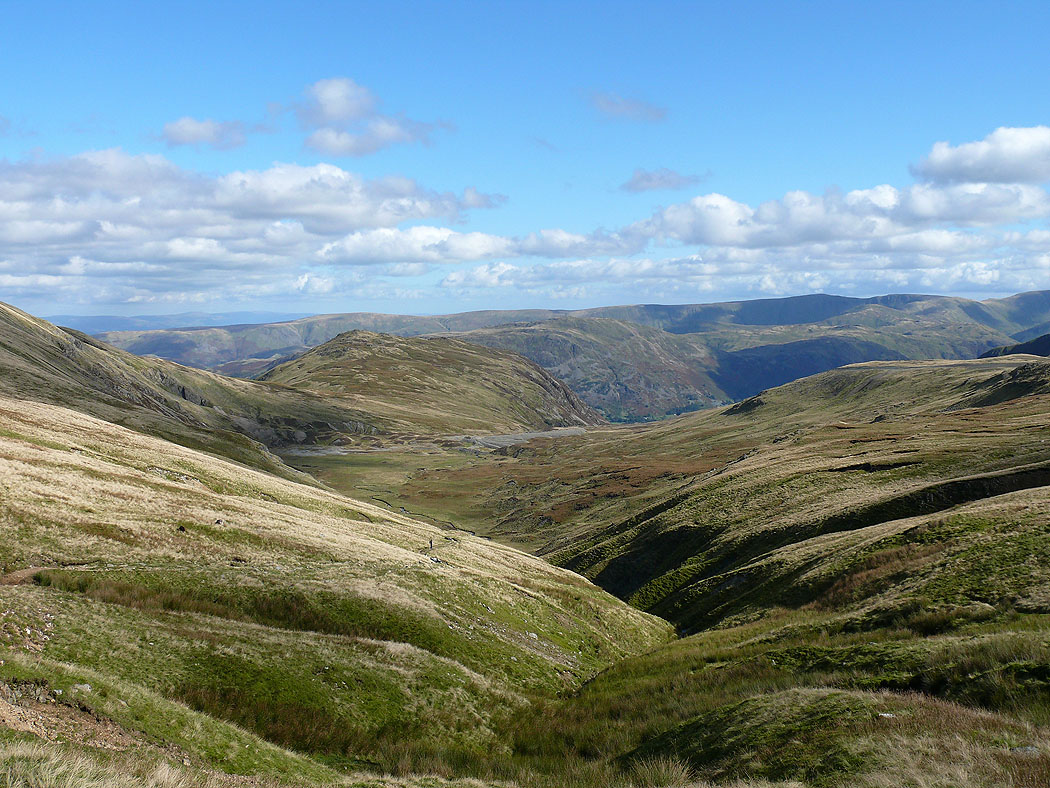
Heading back to Glenridding from the Sticks Pass
Glenridding below
