20th September 2023 - The Old Man of Storr
Walk Details
Distance walked: 2.2 miles
Total ascent: 1040 ft
OS map used: 408 - Skye, Trotternish & The Storr
Time taken: 2 hrs
Route description: Old Man of Storr car park-Old Man of Storr-Storr Lookout Point-Old Man of Storr-Old Man of Storr car park
Another day of far from perfect weather, and with it set to deteriorate from the south during the afternoon I decided to head north to Trotternish and do a few of the short walks from my guidebooks from that area. The first one was the Old Man of Storr, one of Skye's iconic locations. What surprised me was just how busy it was, given that it was a weekday in the middle of September. With a large car park next to the A855, a well made path up to it, and the forest below it having been cleared, perhaps that's not a surprise. I think I had the best weather of the day for my visit. The cloud base lifted high enough so that I could take in the view from the lookout point, and the cloud broke up to give a bit of sunshine.
From the Old Man of Storr car park I took the Storr Trail track, taking the left hand one at a fork which joins the other one higher up, up to the Old Man of Storr, then from there the path up to the Storr Lookout Point. After taking in the views I made my way back down to the Old Man of Storr, and down the track to the car park.
Total ascent: 1040 ft
OS map used: 408 - Skye, Trotternish & The Storr
Time taken: 2 hrs
Route description: Old Man of Storr car park-Old Man of Storr-Storr Lookout Point-Old Man of Storr-Old Man of Storr car park
Another day of far from perfect weather, and with it set to deteriorate from the south during the afternoon I decided to head north to Trotternish and do a few of the short walks from my guidebooks from that area. The first one was the Old Man of Storr, one of Skye's iconic locations. What surprised me was just how busy it was, given that it was a weekday in the middle of September. With a large car park next to the A855, a well made path up to it, and the forest below it having been cleared, perhaps that's not a surprise. I think I had the best weather of the day for my visit. The cloud base lifted high enough so that I could take in the view from the lookout point, and the cloud broke up to give a bit of sunshine.
From the Old Man of Storr car park I took the Storr Trail track, taking the left hand one at a fork which joins the other one higher up, up to the Old Man of Storr, then from there the path up to the Storr Lookout Point. After taking in the views I made my way back down to the Old Man of Storr, and down the track to the car park.
Route map
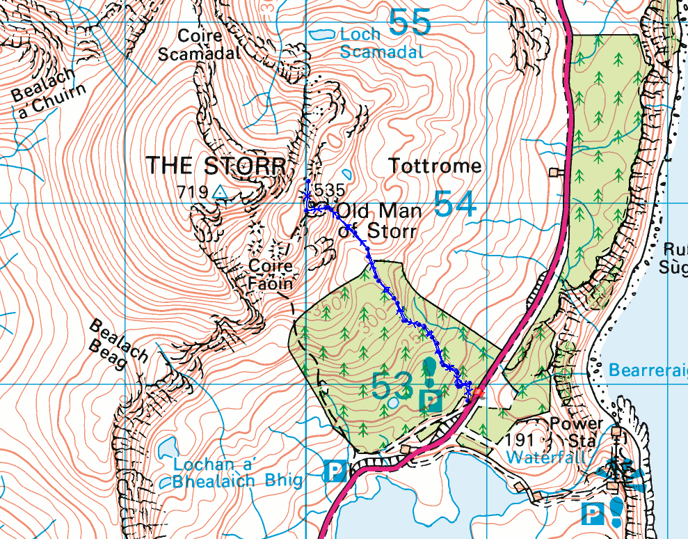
© Crown copyright. All rights reserved. License number PU 100034184.
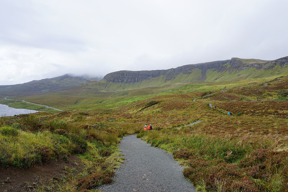
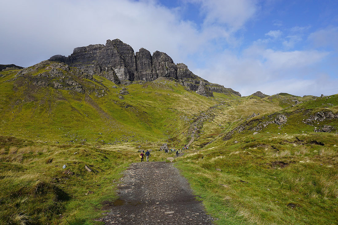
The crags of the Trotternish ridge to the south of The Storr as I start the climb up to the Old Man of Storr
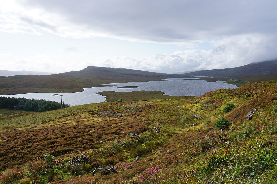
Looking down on Loch Leathan, with the hill of Fuirnean on the left
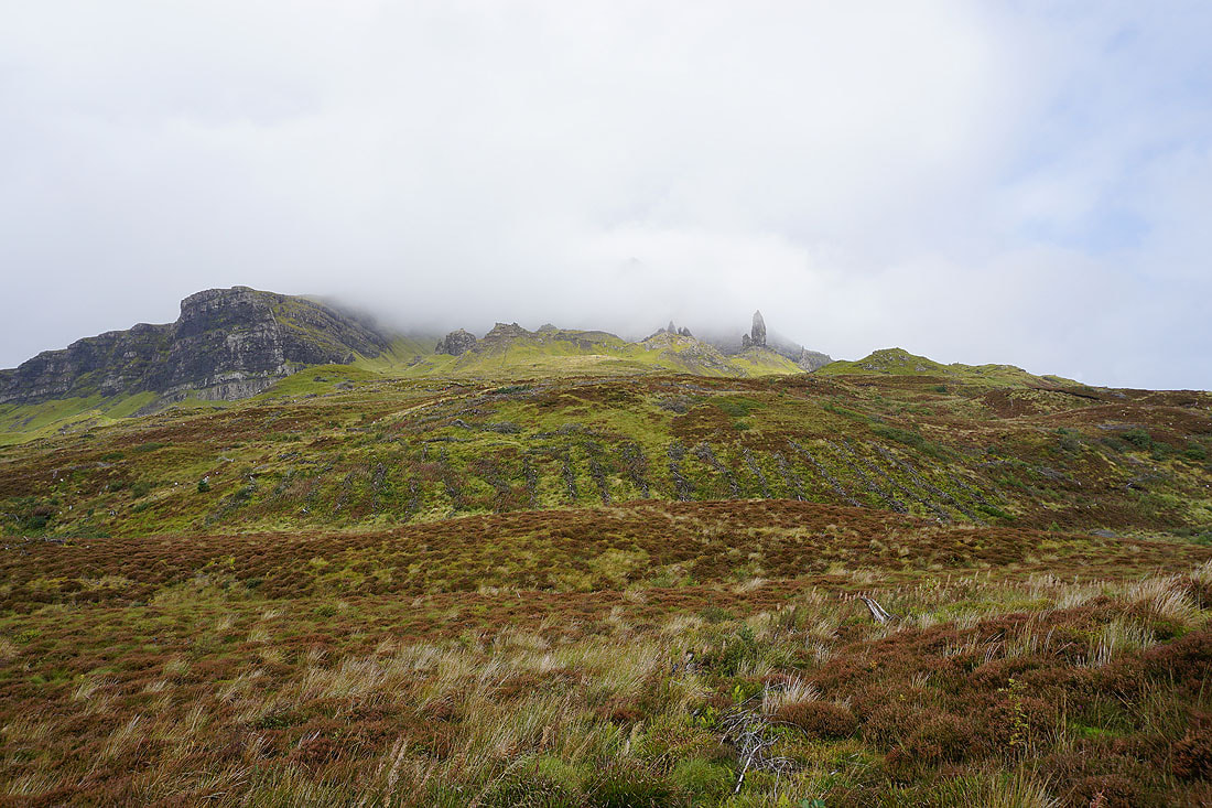
Cloud swirls around the crags of the Old Man of Storr above

Heading uphill and the cloud clears..
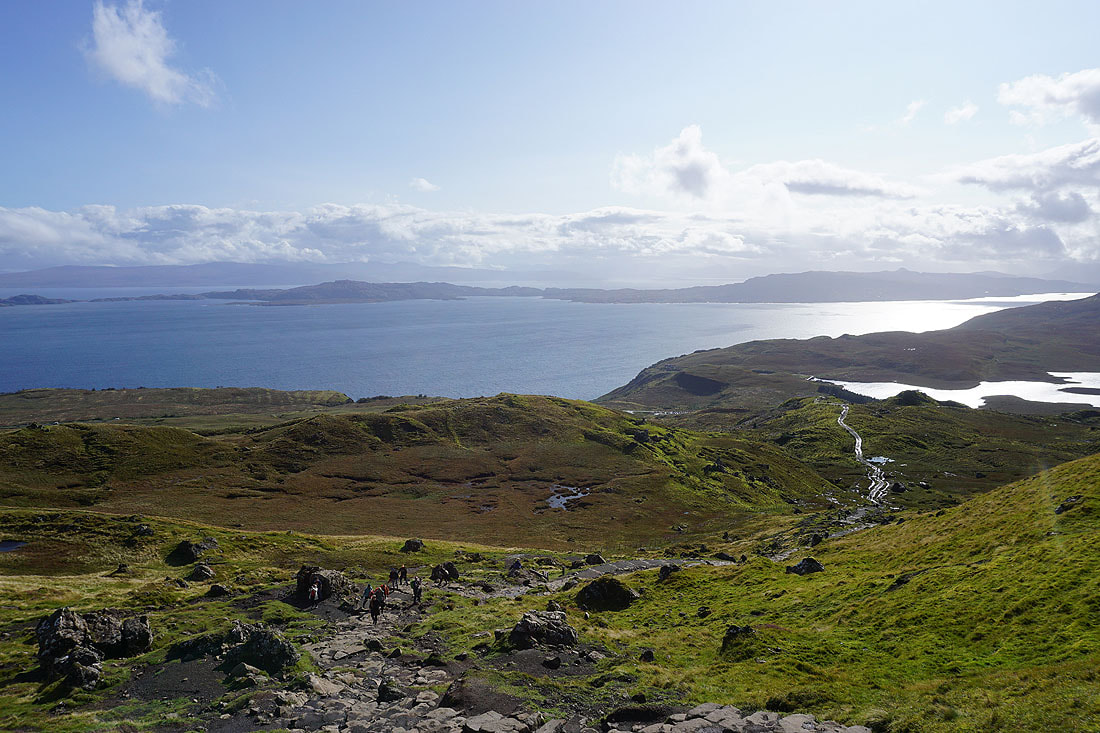
Looking back to Rona and the Isle of Raasay across the Sound of Raasay
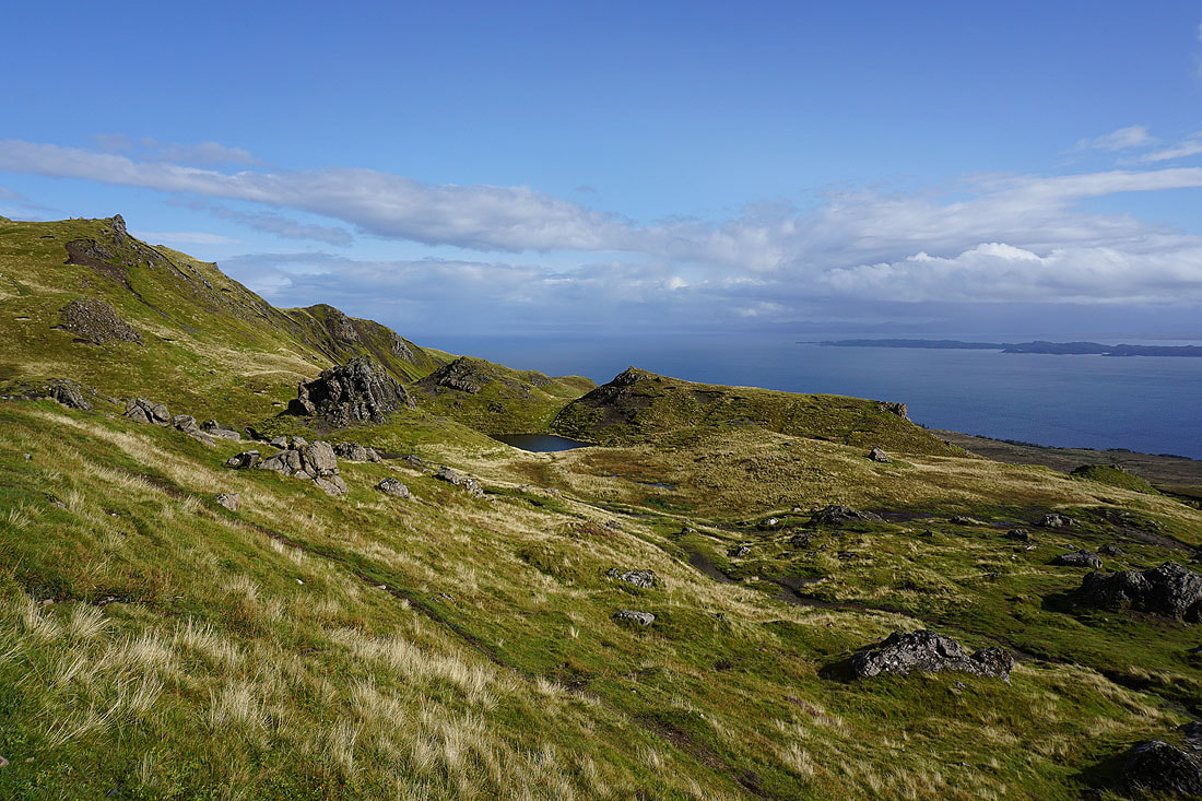
The jumble of hummocks, boulders, and the lochan below the Old Man of Storr
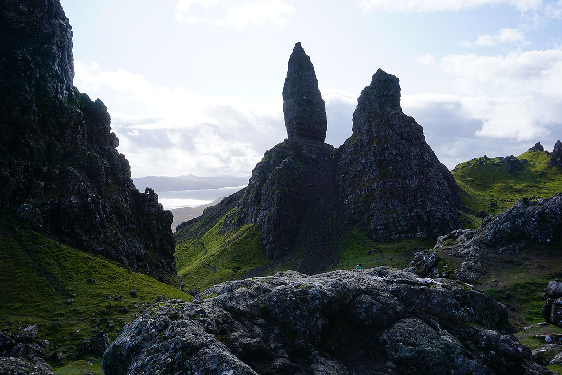
The Needle Rock at the Old Man of Storr
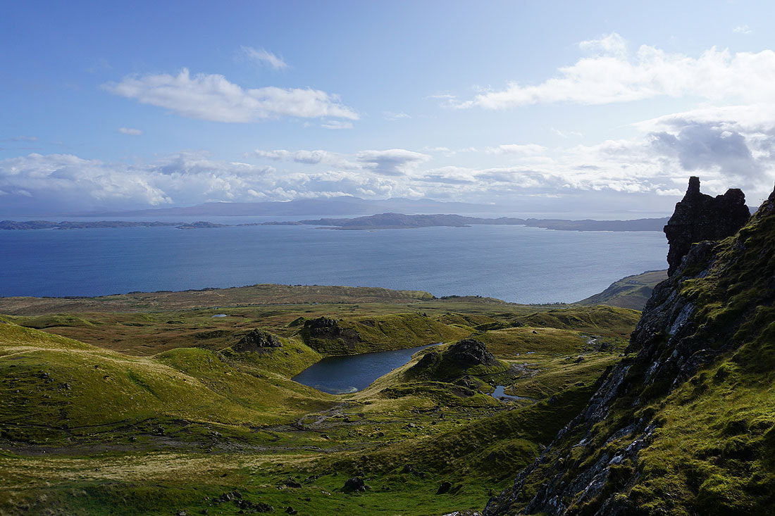
Looking across the Sound of Raasay to Rona
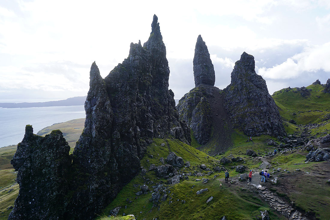
The pinnacles of the Old Man of Storr
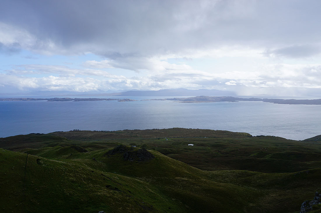
Up at the knoll above the Old Man of Storr, which is a popular place for taking photos of it. First, a photo looking across the Sound of Raasay to Rona, and the Applecross peninsula on the mainland.

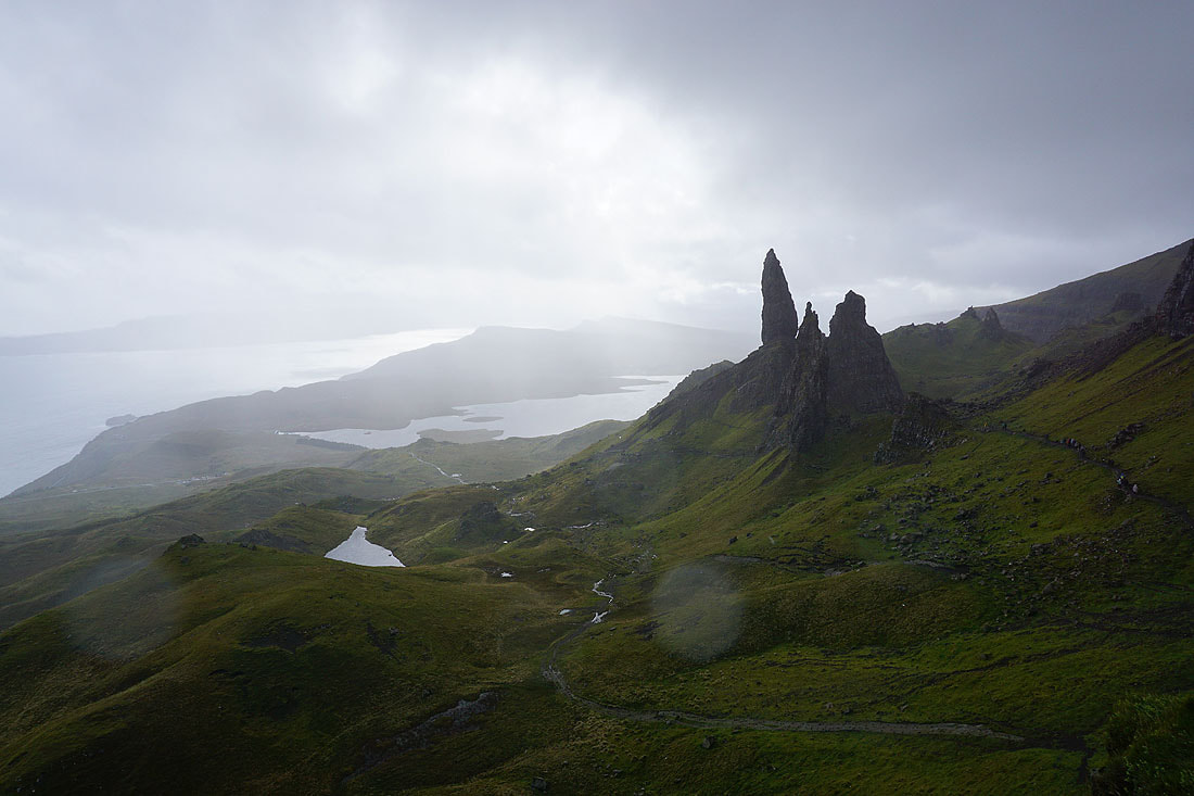
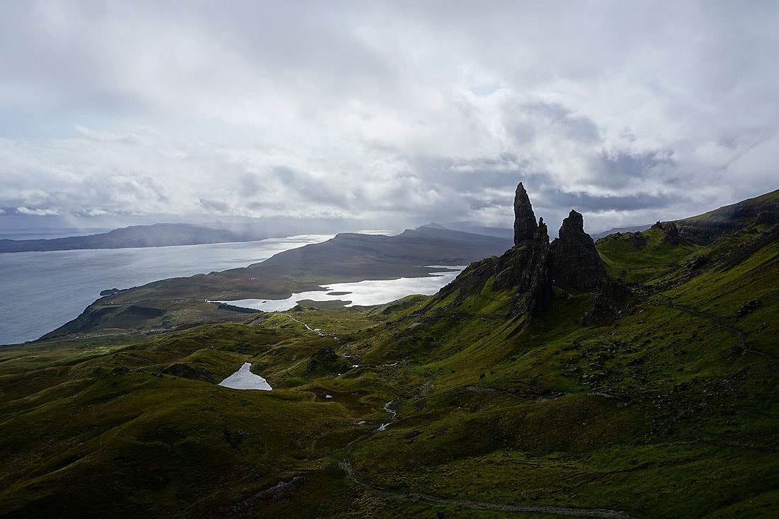
The Old Man of Storr, with Loch Leathan behind. I spent about 30 minutes here along with many other people and a couple of photographers with their cameras on tripods. It was very windy, but with the sun trying to break through the cloud it was worth the wait to get a decent photo......
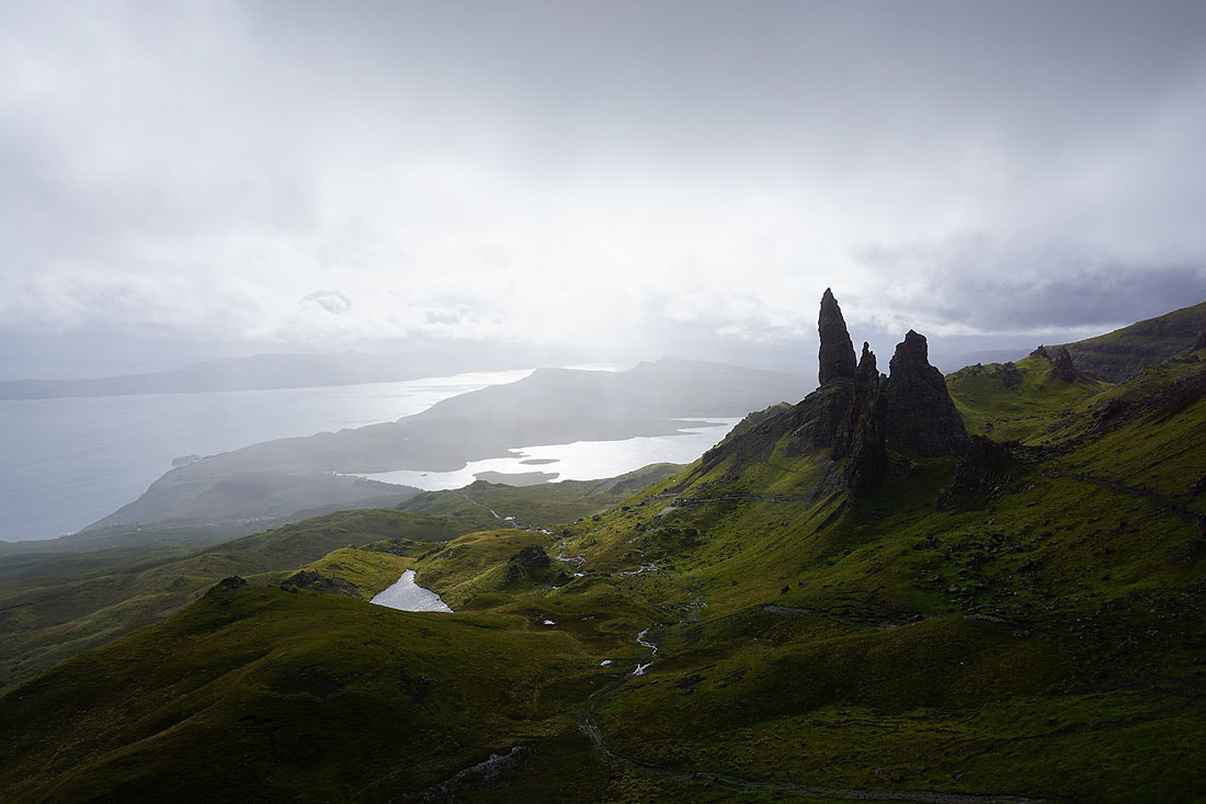
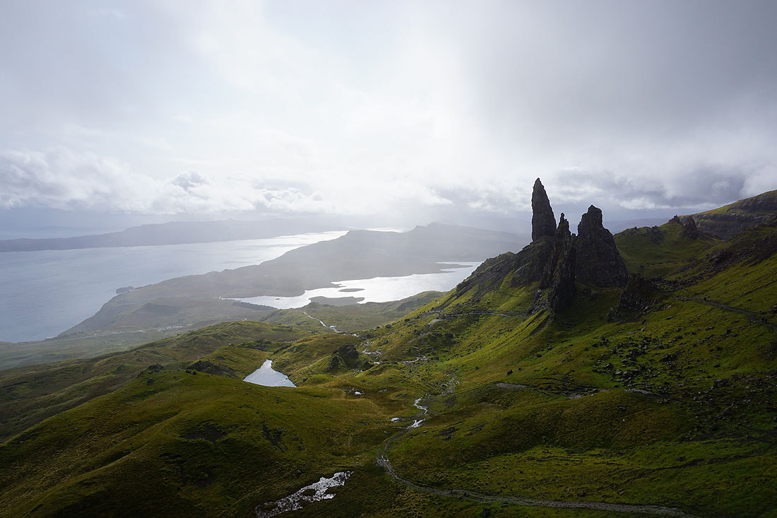
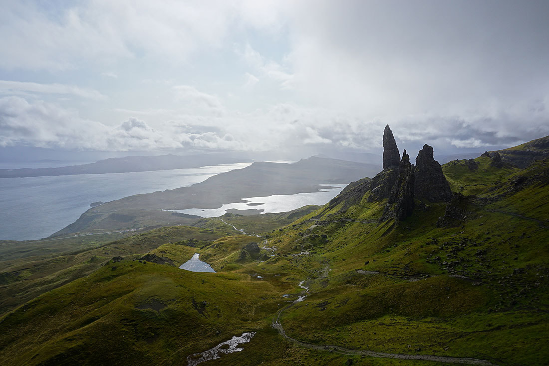
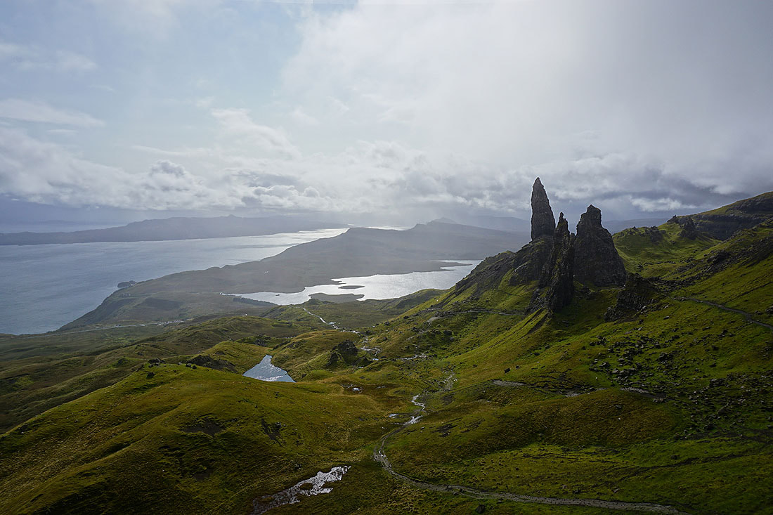
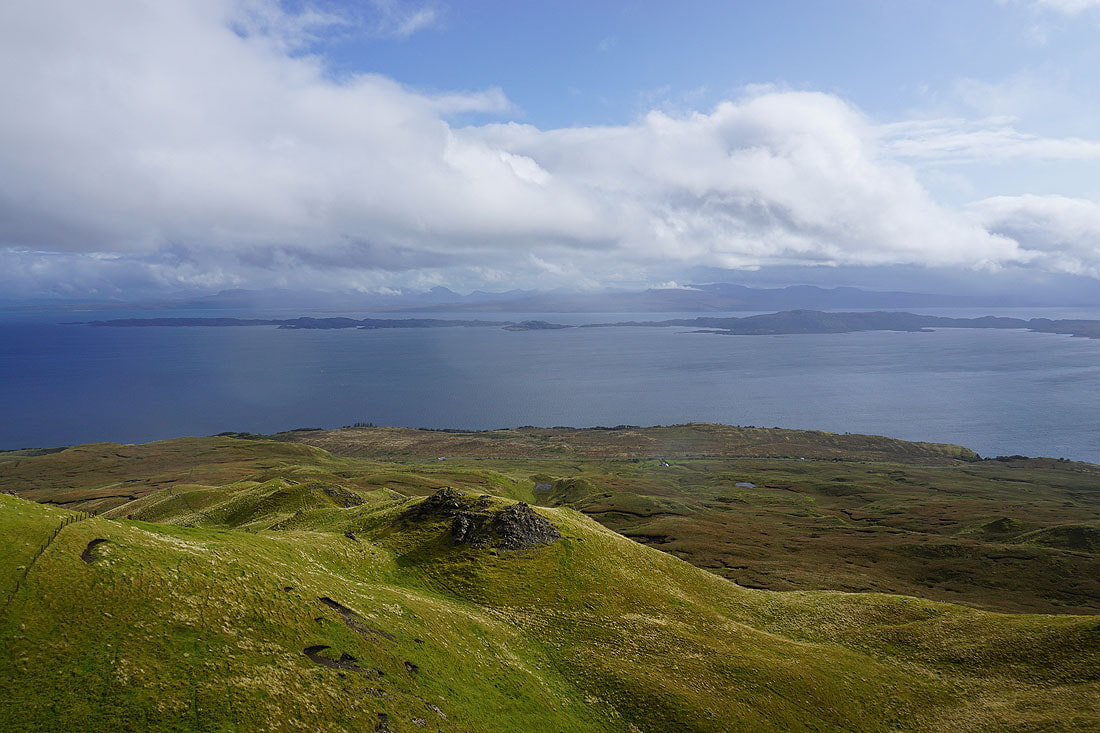
Looking across the Sound of Raasay to Rona, with the mountains of Torridon and Applecross on the mainland in the distance

A couple more photos of the Old Man of Storr before I head back down..
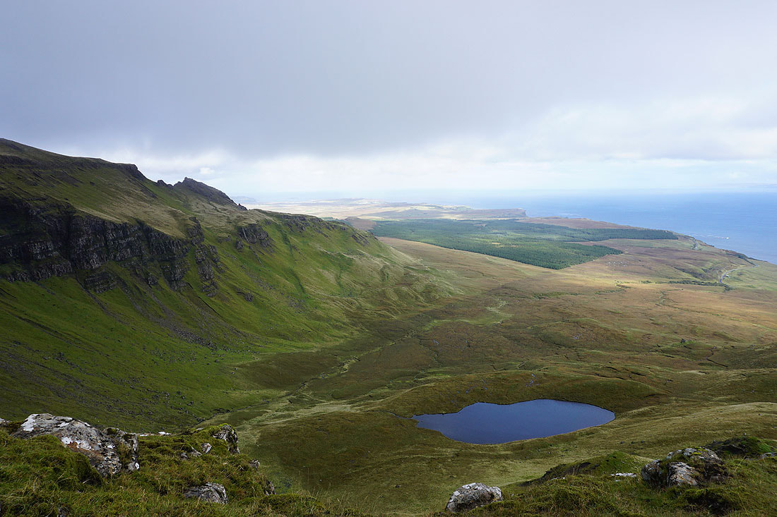
On the other side of the knoll, Coire Scamadal, Loch Scamadal, and the east coast of Trotternish heading north. There was shelter from the wind here, so I decided to have my packed lunch.
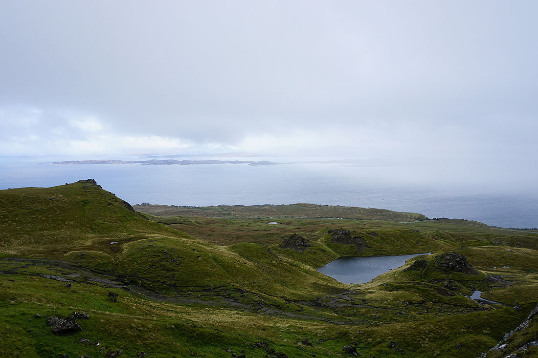
Making my way back down and the view disappears as the weather deteriorates
20th September 2023 - Inver Tote and the Lealt Falls
Walk Details
Distance walked: 0.6 miles
Total ascent: 306 ft
OS map used: 408 - Skye, Trotternish & The Storr
Time taken: 45 minutes
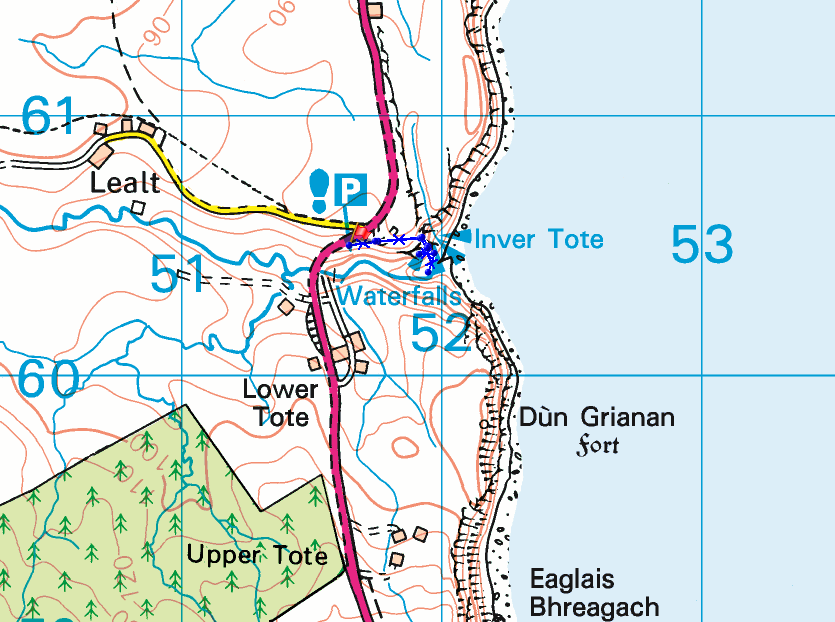
Route description: Lealt Falls car park-Lealt Fall view point-Invertote Bay-Lealt Falls car park
For my second walk of the day I drove further north along the A855 to visit the Lealt Falls. The path down to the Lealt River at Invertote Bay isn't made, and care had to be taken.
From the car park by the A855 I made my way to the Lealt Fall viewpoint, then took the path down to the Lealt River at Invertote Bay to see the lower waterfall. After taking in the view I retraced my steps back to the car park.
Total ascent: 306 ft
OS map used: 408 - Skye, Trotternish & The Storr
Time taken: 45 minutes
Route description: Lealt Falls car park-Lealt Fall view point-Invertote Bay-Lealt Falls car park
For my second walk of the day I drove further north along the A855 to visit the Lealt Falls. The path down to the Lealt River at Invertote Bay isn't made, and care had to be taken.
From the car park by the A855 I made my way to the Lealt Fall viewpoint, then took the path down to the Lealt River at Invertote Bay to see the lower waterfall. After taking in the view I retraced my steps back to the car park.
Route map
© Crown copyright. All rights reserved. License number PU 100034184.

|

|
A couple of shots of the upper of the Lealt Falls from the viewing platform..
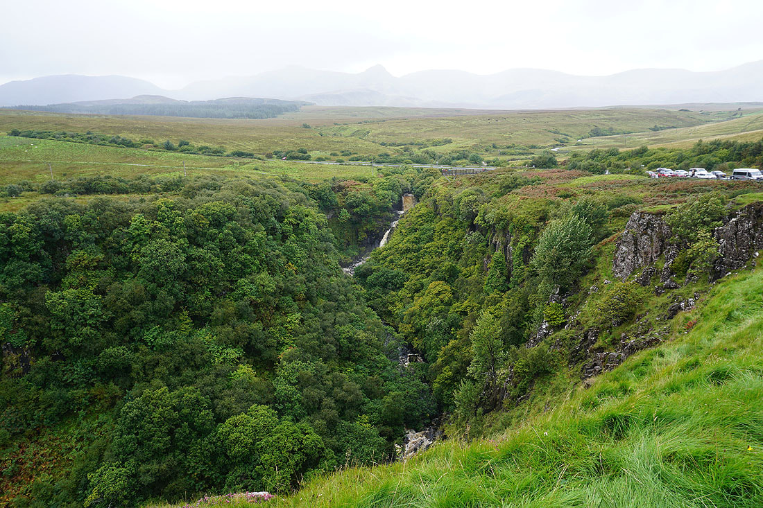
and a wider view of the wooded gorge of the Lealt River, with the Trotternish ridge in the background..


Above Invertote Bay, with views across to Torridon and Applecross on the mainland, and of Rona and the Isle of Raasay across the Sound of Raasay..

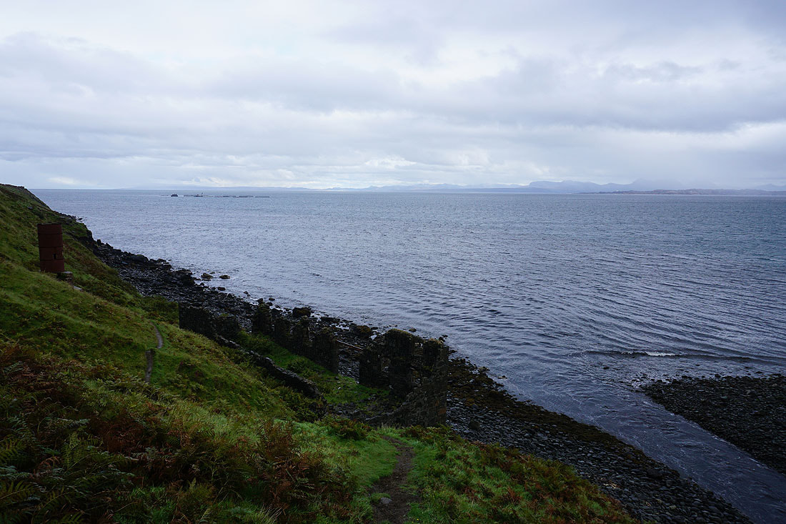
The remnants of the old factory which processed diatomite from the nearby mines in the late 19th century. The diatomite was transported from the mines from Loch Cuithir via the Lealt Valley Diatomite Railway, a narrow-gauge tramway built in 1889 running parallel to the River Lealt. The rock was then processed in the factory, boarded on skiffs and sent to the mainland by puffer boat.
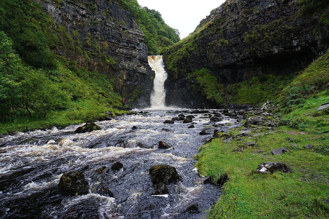
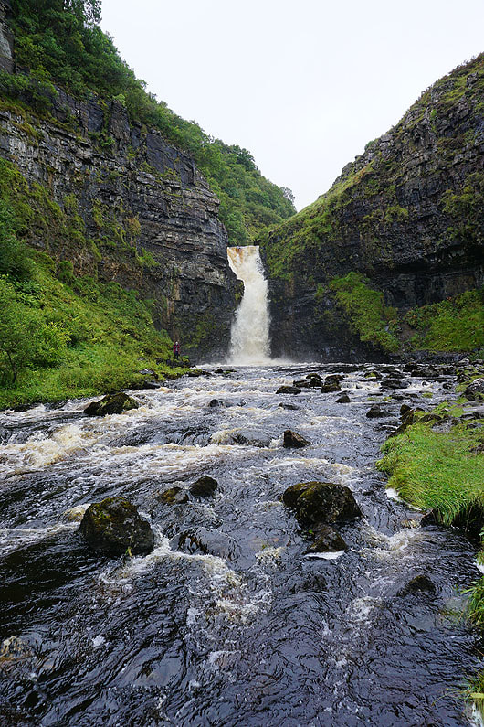
The lower of the Lealt Falls..
20th September 2023 - Ruadh nam Brathairean
Walk Details
Distance walked: 1.9 miles
Total ascent: 518 ft
OS map used: 408 - Skye, Trotternish & The Storr
Time taken: 1.5 hrs
Route description: Culnacnoc, A855-The Lodge-Lonfearn Burn-Ruadh nam Brathairean-Lonfearn Burn-The Lodge-Culnacnoc, A855
For my third and final walk of the day I drove a short distance north along the A855 from Lealt to Culnacnoc to visit Ruadh nam Brathairean (Brother's Point). I think this might have been my favourite of the day. Great coastal scenery, peace and quiet, and the sun even came out.
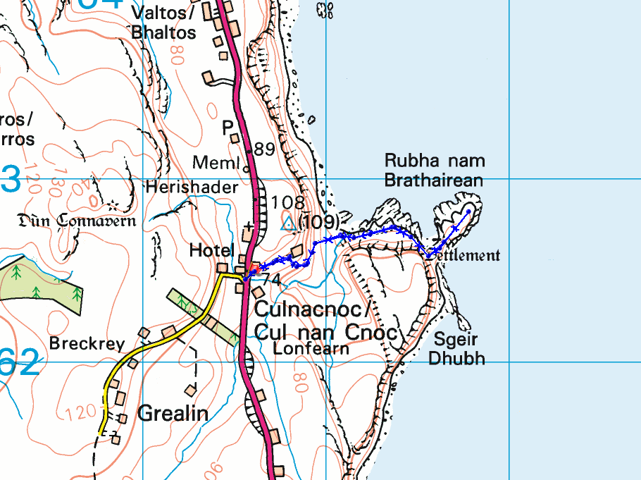
After parking my car in the layby on the A855 at Culnacnoc I walked a short distance south along the road, crossed it, and took the track signposted for "Ruadh nam Brathairean". I walked along this to The Lodge, from where I took a footpath on the right and followed it downhill to the coast. Once I'd managed to negotiate crossing Lonfearn Burn I made my way along the coast and out onto Ruadh nam Brathairean (Brother's Point). Once I'd taken in the view I retraced my steps back to the layby on the A855.
Total ascent: 518 ft
OS map used: 408 - Skye, Trotternish & The Storr
Time taken: 1.5 hrs
Route description: Culnacnoc, A855-The Lodge-Lonfearn Burn-Ruadh nam Brathairean-Lonfearn Burn-The Lodge-Culnacnoc, A855
For my third and final walk of the day I drove a short distance north along the A855 from Lealt to Culnacnoc to visit Ruadh nam Brathairean (Brother's Point). I think this might have been my favourite of the day. Great coastal scenery, peace and quiet, and the sun even came out.
After parking my car in the layby on the A855 at Culnacnoc I walked a short distance south along the road, crossed it, and took the track signposted for "Ruadh nam Brathairean". I walked along this to The Lodge, from where I took a footpath on the right and followed it downhill to the coast. Once I'd managed to negotiate crossing Lonfearn Burn I made my way along the coast and out onto Ruadh nam Brathairean (Brother's Point). Once I'd taken in the view I retraced my steps back to the layby on the A855.
Route map
© Crown copyright. All rights reserved. License number PU 100034184.
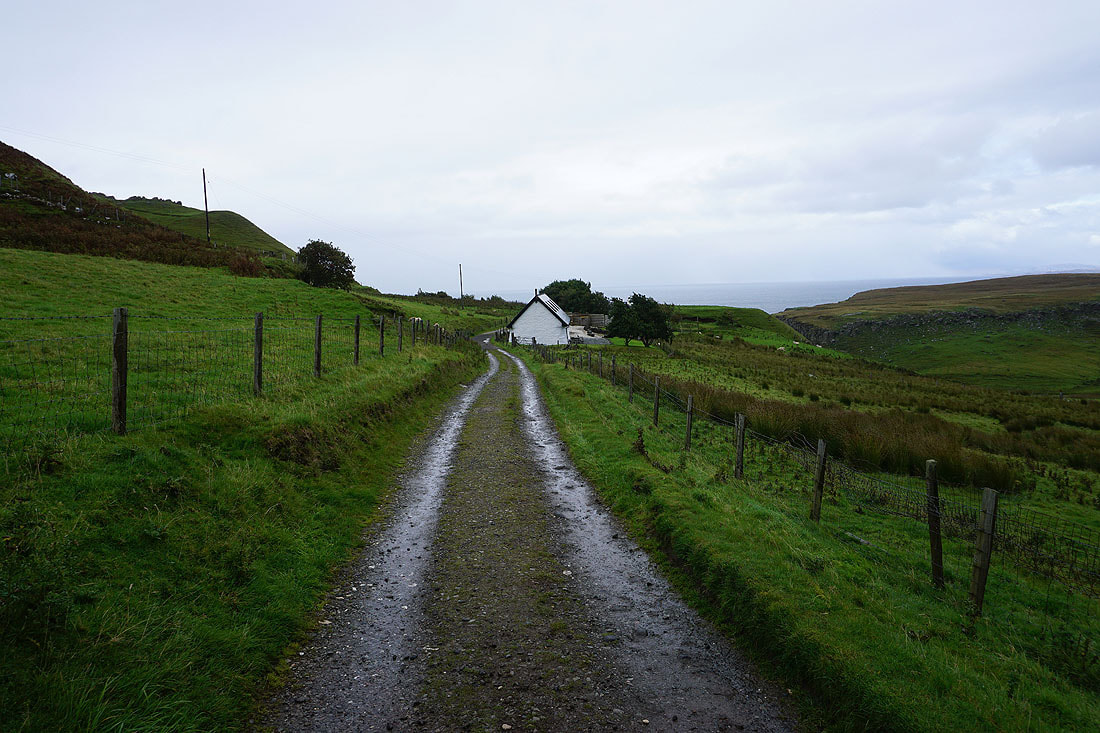
After crossing the A855 I take the track signposted for "Ruadh nam Brathairean"

To my right, Lonfearn Burn
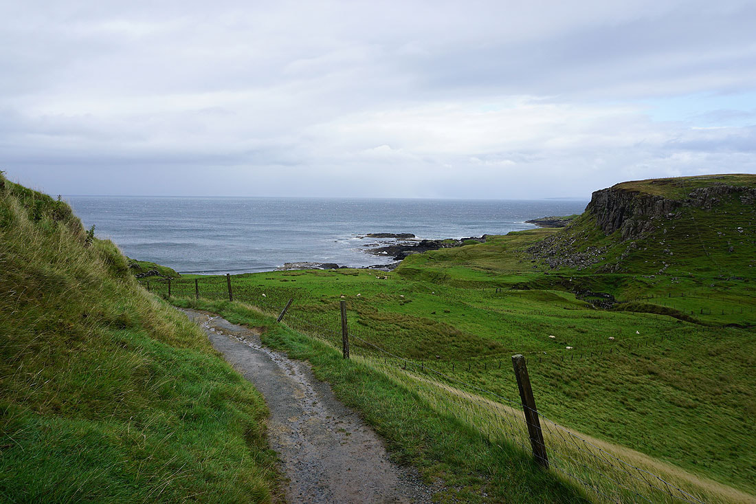
Heading down to the coast..
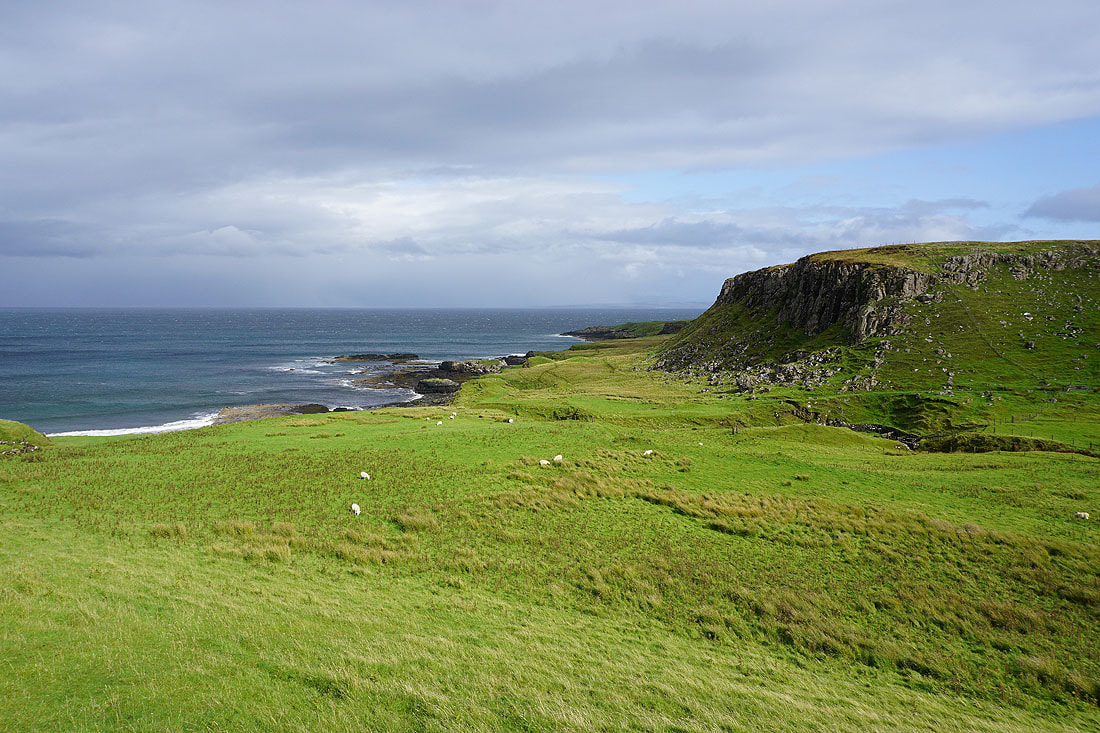
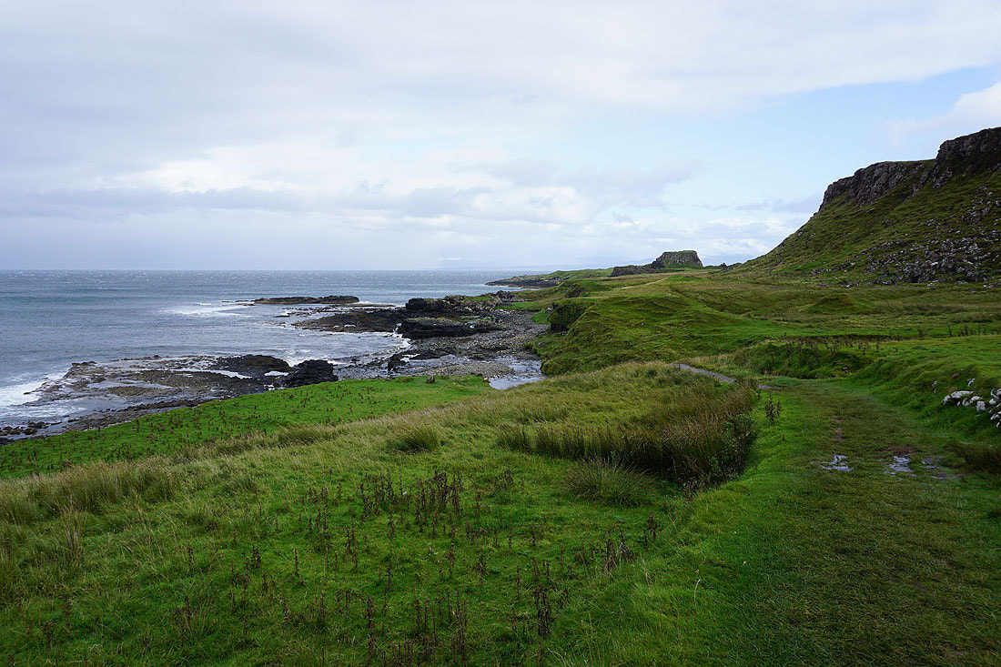
Heading to cross Lonfearn Burn and Ruadh nam Brathairean appears on the right
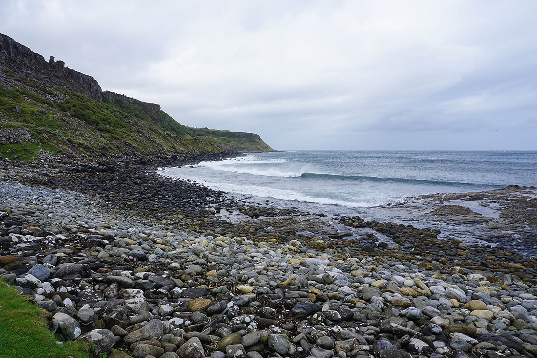
Waves crash onto the shore
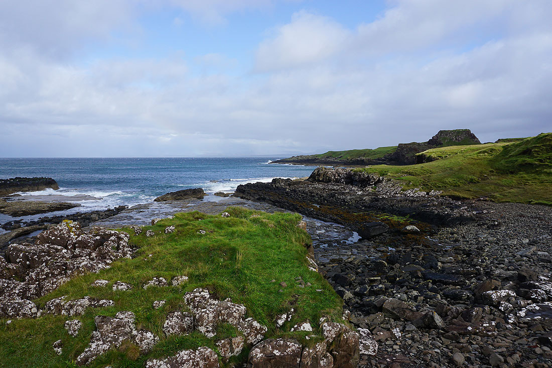
After crossing Lonfearn Burn, making my way along the coast to Ruadh nam Brathairean
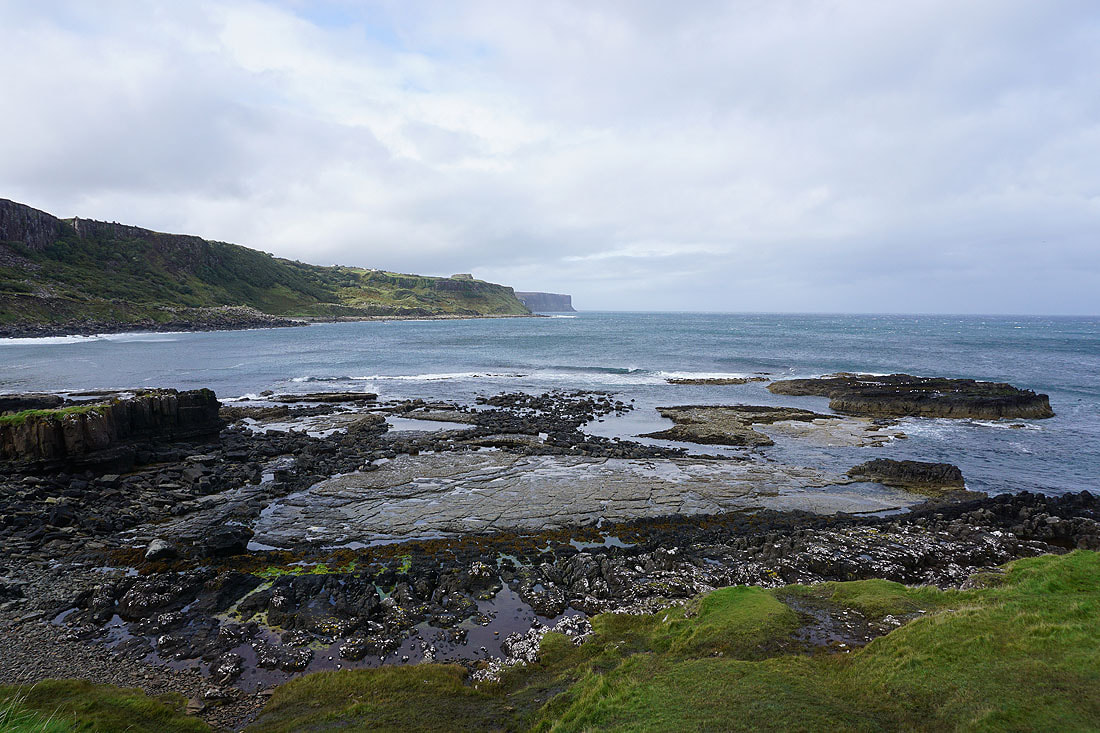
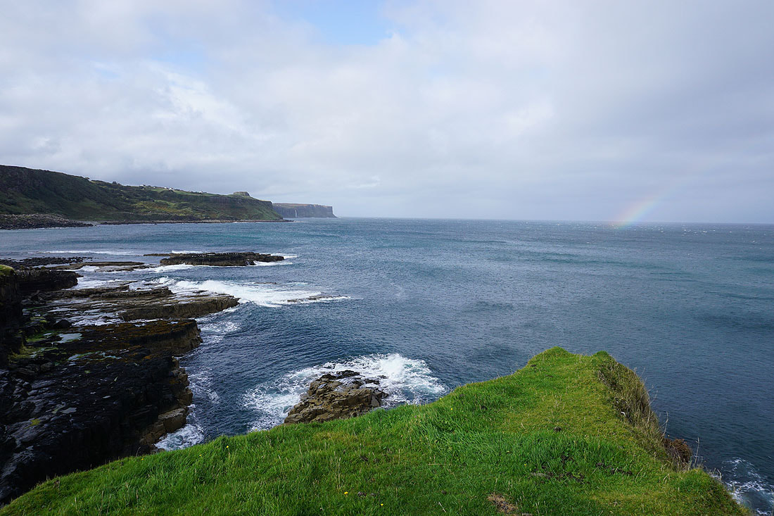
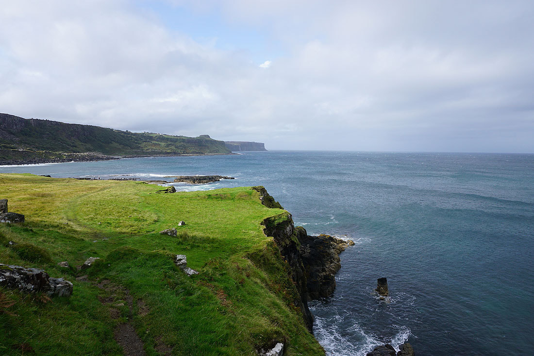
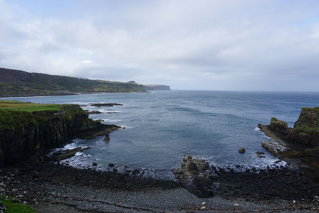
On the way there and I have great views north up the coast to Kilt Rock and Mealt Falls, and there's a brief rainbow as a bit of drizzle passes through......

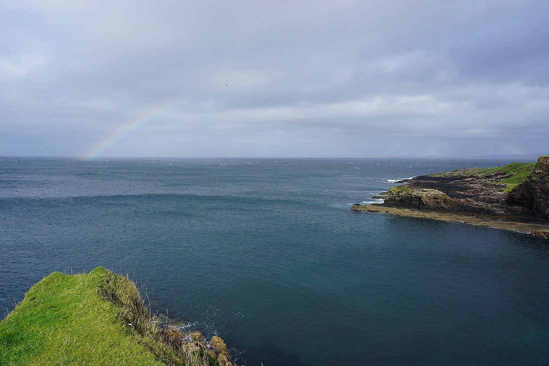
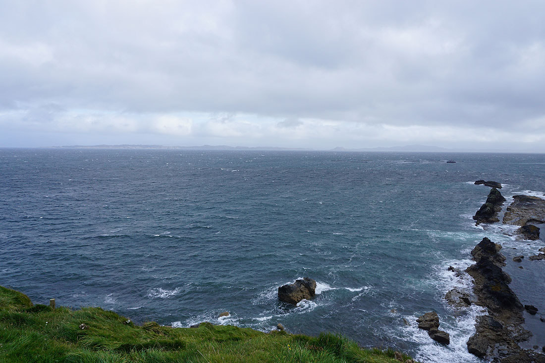
Looking across to the mainland
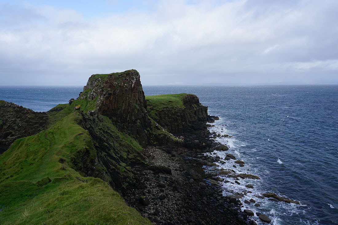
Crossing the neck of land to Ruadh nam Brathairean
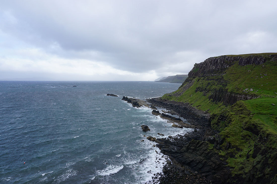
Looking south down the coast from Ruadh nam Brathairean
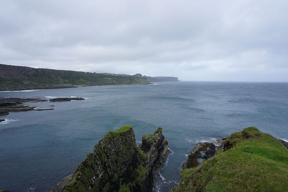
and north to Kilt Rock and Mealt Falls
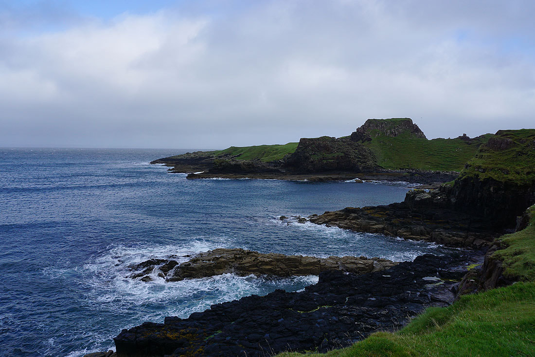
Looking back to Ruadh nam Brathairean
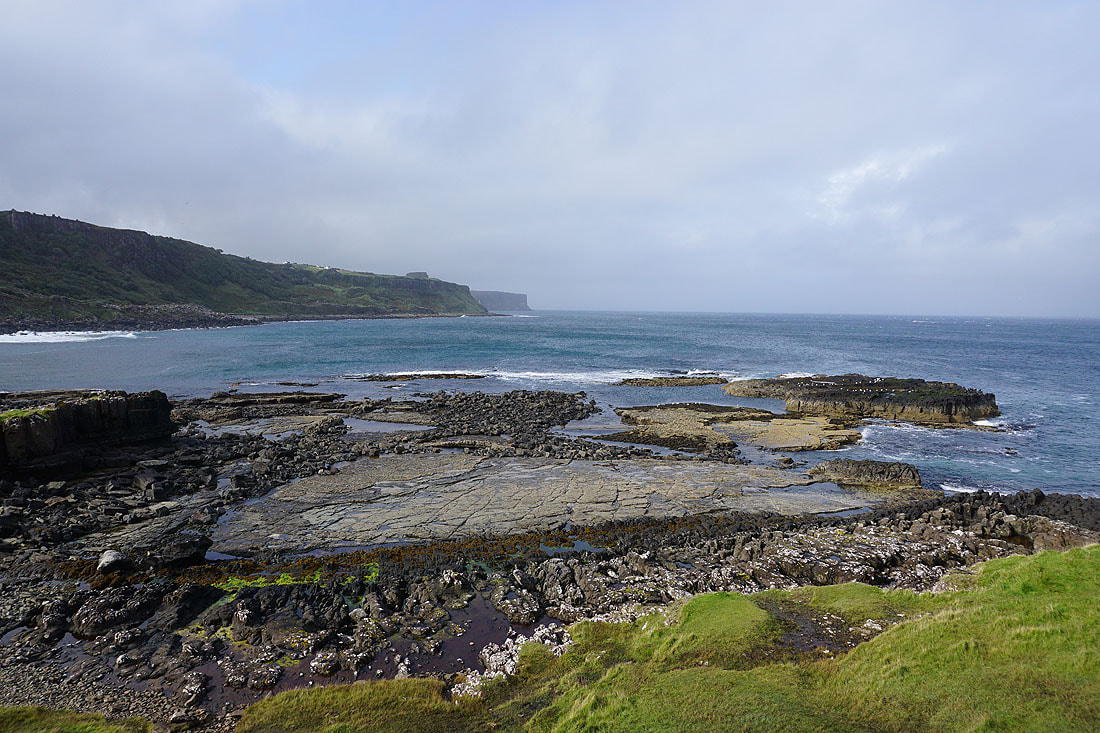
A last look north up the coast
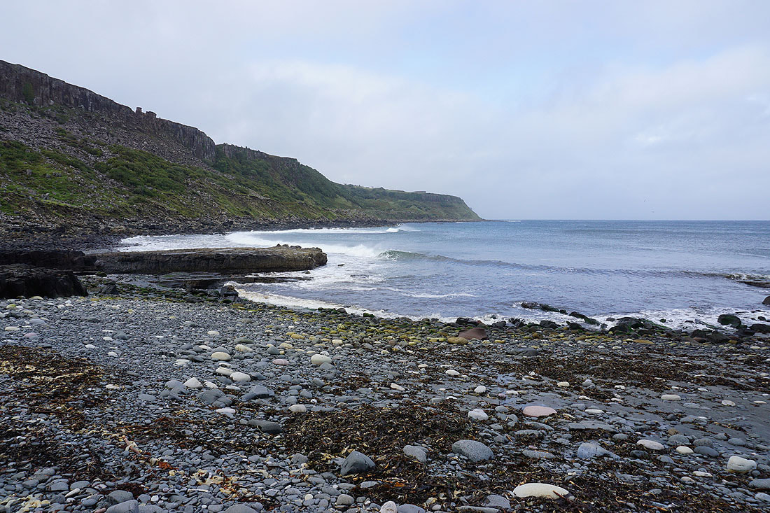
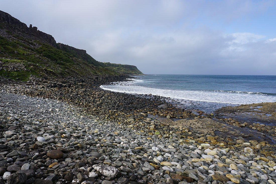
Back on the pebbly beach..
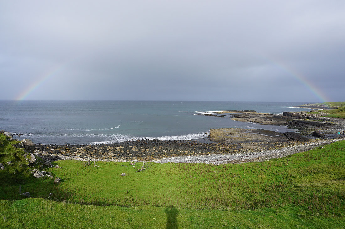
It was worth stopping for ten minutes to take in this rainbow..
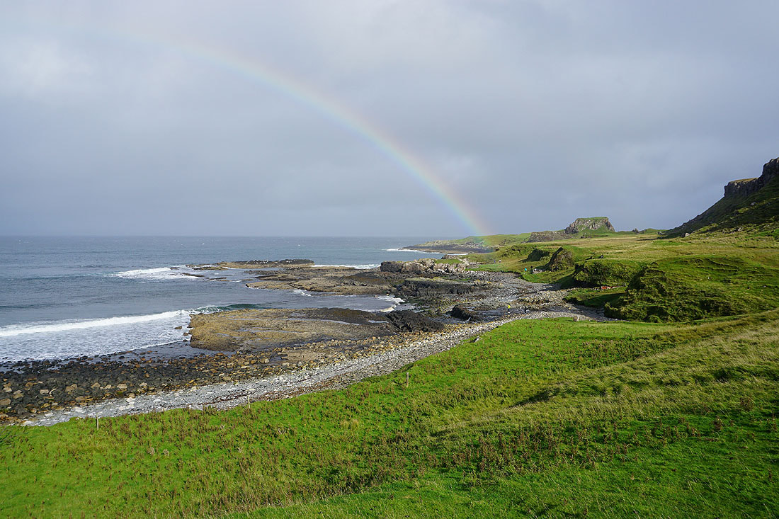
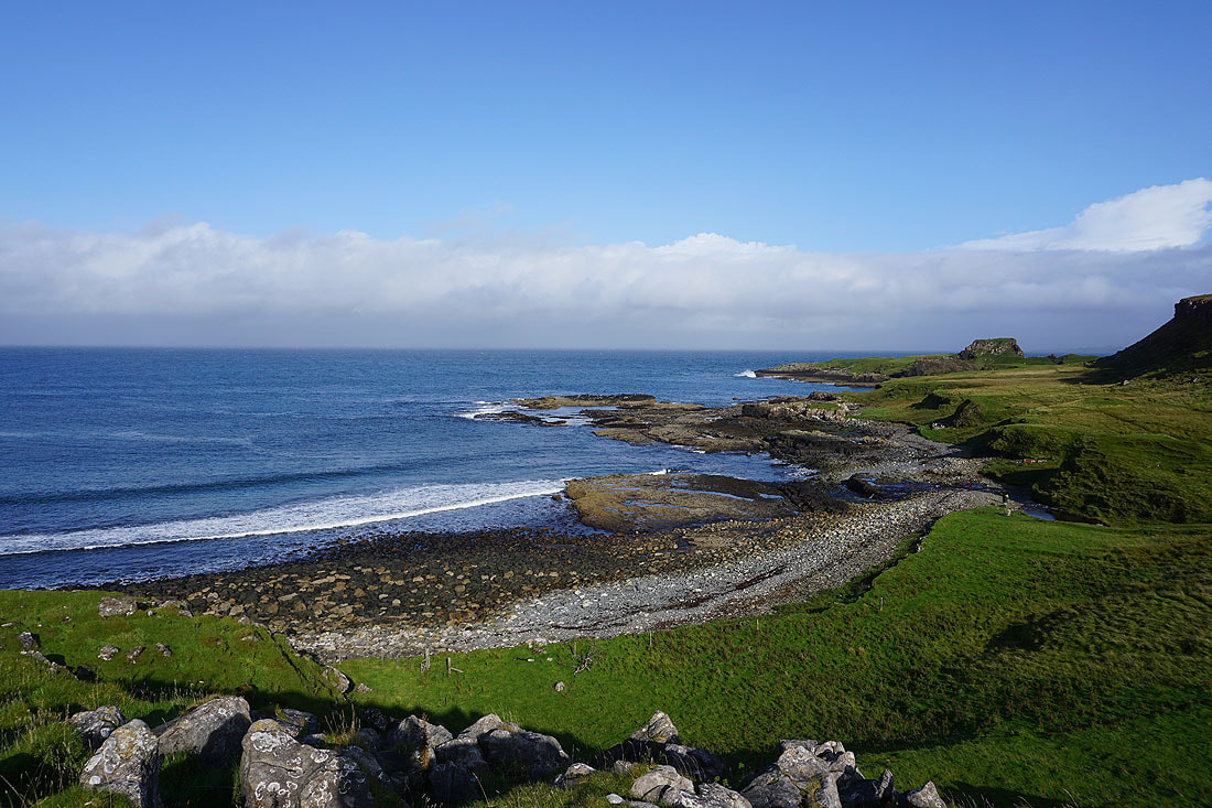
As well as getting above the northern end of the beach to look across to Ruadh nam Brathairean

Heading back up the track to the A855
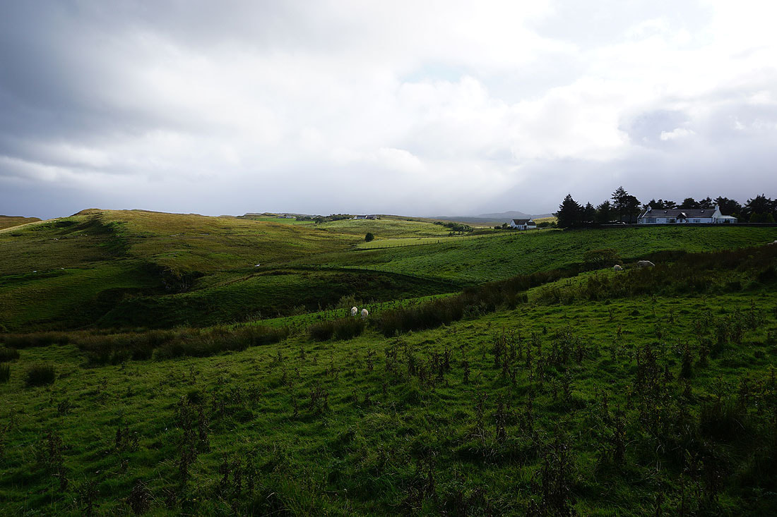
Looking across the countryside below Culnacnoc..
