21st April 2018 - Kinder Scout's northern edges
Walk Details
Distance walked: 13.5 miles
Total ascent: 2496 ft
OS map used: OL1 - The Peak District, Dark Peak area
Time taken: 7.5 hrs
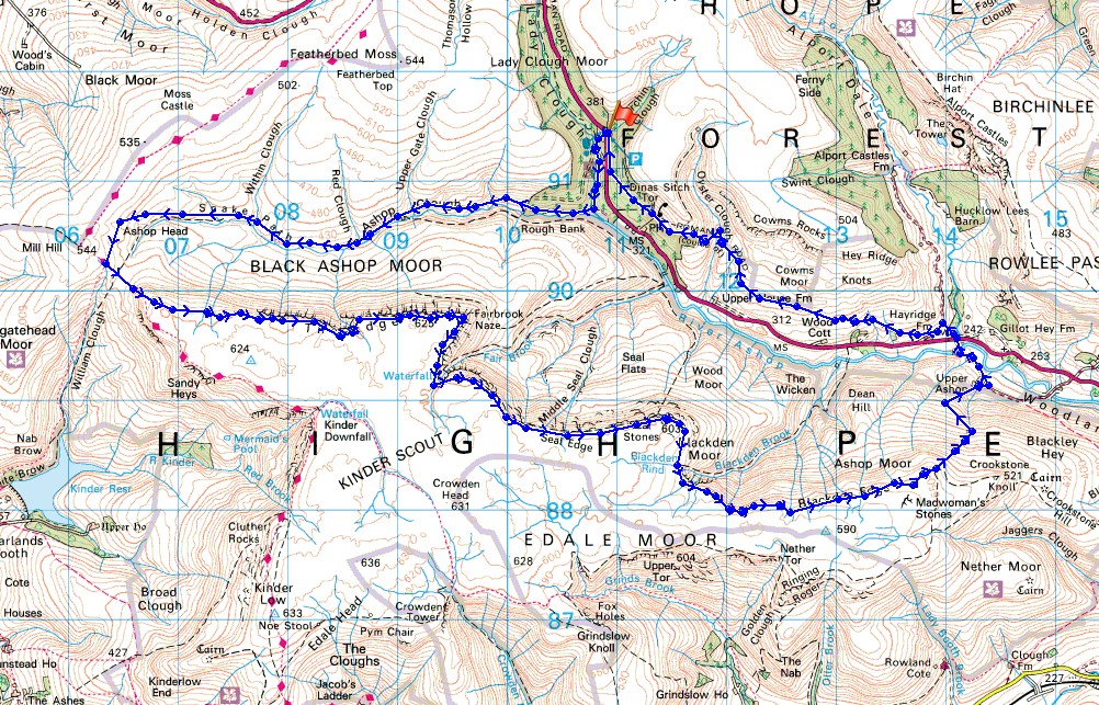
Route description: Birchen Clough Bridge-Lady Clough-Ashop Clough-Snake Path-Ashop Head-Black Ashop Edge-Fairbrook Naze-Seal Edge-Blackden Edge-Upper Ashop Farm-Alport Bridge-Hayridge Farm-Cowms Moor-Birchen Clough Bridge
Spring skipped ahead to summer with some unseasonably warm weather for my second walk in a row in the Peak District. I decided to take in the northern edges of Kinder Scout today, which I have done before as part of a walk around Kinder Scout done in July 2016, and I have done Black Ashop Edge and Seal Edge together on a couple of occasions as well. Doing all the edges on their own gave me the chance to enjoy them that bit more, not having the time pressures of doing a walk the length of the circuit, though this route isn't exactly short. I enjoyed blue skies and sunshine through the morning and into the early afternoon, by the middle of the afternoon the cloud started to build up with the heat of the day. That warmth made it quite hazy and I was certainly feeling it affects as I was heading across Cowms Moor to Birchen Clough Bridge.
From the car park at Birchen Clough Bridge I crossed the A57 and took the path through the conifers down Lady Clough to the River Ashop. I then turned right and followed the Snake Path all the way up Ashop Clough to its top where it meets the path up William Clough and the Pennine Way. It was now time to take to the edges by heading east. First, along Black Ashop Edge to Fairbrook Naze, then along Seal Edge and Blackden Edge. At the eastern end of Blackden Edge I took a path that heads down into the Woodlands Valley by a ruined wall and a line of grouse butts to reach a shooting cabin and from there a track was followed down to Upper Ashop Farm. A bridleway then took me out to the A57 at Alport Bridge. After crossing the A57 and briefly following the path uphill by the River Alport I turned left and took the footpath towards Hayridge Farm (it bypasses the farm) and across Cowms Moor. This then makes its way around Oyster Clough before heading down into the conifers and back to Birchen Clough Bridge.
Total ascent: 2496 ft
OS map used: OL1 - The Peak District, Dark Peak area
Time taken: 7.5 hrs
Route description: Birchen Clough Bridge-Lady Clough-Ashop Clough-Snake Path-Ashop Head-Black Ashop Edge-Fairbrook Naze-Seal Edge-Blackden Edge-Upper Ashop Farm-Alport Bridge-Hayridge Farm-Cowms Moor-Birchen Clough Bridge
Spring skipped ahead to summer with some unseasonably warm weather for my second walk in a row in the Peak District. I decided to take in the northern edges of Kinder Scout today, which I have done before as part of a walk around Kinder Scout done in July 2016, and I have done Black Ashop Edge and Seal Edge together on a couple of occasions as well. Doing all the edges on their own gave me the chance to enjoy them that bit more, not having the time pressures of doing a walk the length of the circuit, though this route isn't exactly short. I enjoyed blue skies and sunshine through the morning and into the early afternoon, by the middle of the afternoon the cloud started to build up with the heat of the day. That warmth made it quite hazy and I was certainly feeling it affects as I was heading across Cowms Moor to Birchen Clough Bridge.
From the car park at Birchen Clough Bridge I crossed the A57 and took the path through the conifers down Lady Clough to the River Ashop. I then turned right and followed the Snake Path all the way up Ashop Clough to its top where it meets the path up William Clough and the Pennine Way. It was now time to take to the edges by heading east. First, along Black Ashop Edge to Fairbrook Naze, then along Seal Edge and Blackden Edge. At the eastern end of Blackden Edge I took a path that heads down into the Woodlands Valley by a ruined wall and a line of grouse butts to reach a shooting cabin and from there a track was followed down to Upper Ashop Farm. A bridleway then took me out to the A57 at Alport Bridge. After crossing the A57 and briefly following the path uphill by the River Alport I turned left and took the footpath towards Hayridge Farm (it bypasses the farm) and across Cowms Moor. This then makes its way around Oyster Clough before heading down into the conifers and back to Birchen Clough Bridge.
Route map
© Crown copyright. All rights reserved. License number PU 100034184.
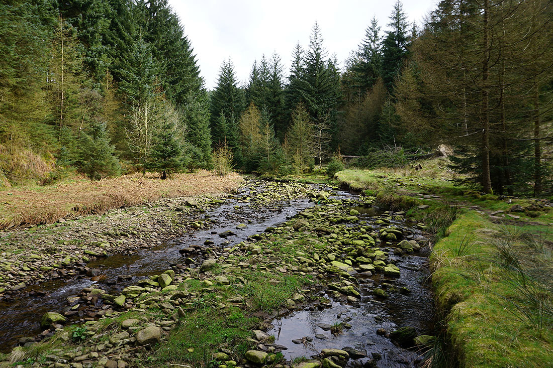
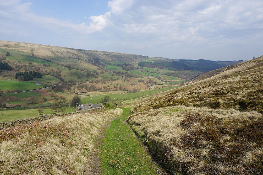
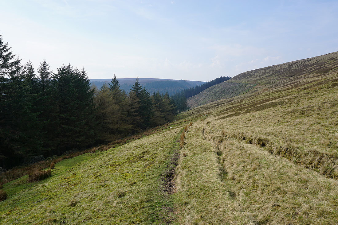
The conifer plantations of Lady Clough
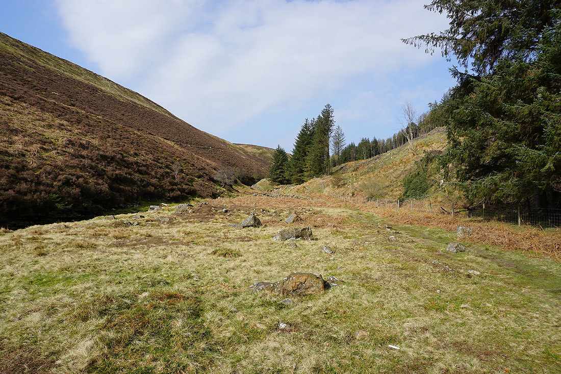
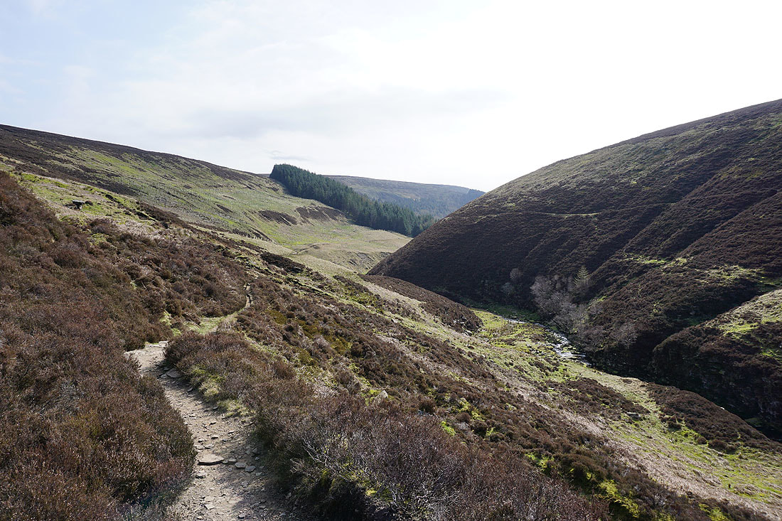
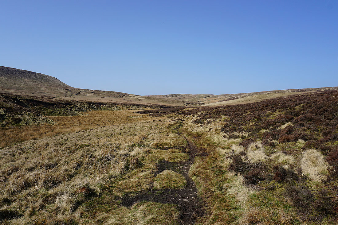
Having made it to the bottom of Lady Clough I'll now follow the Snake Path up Ashop Clough
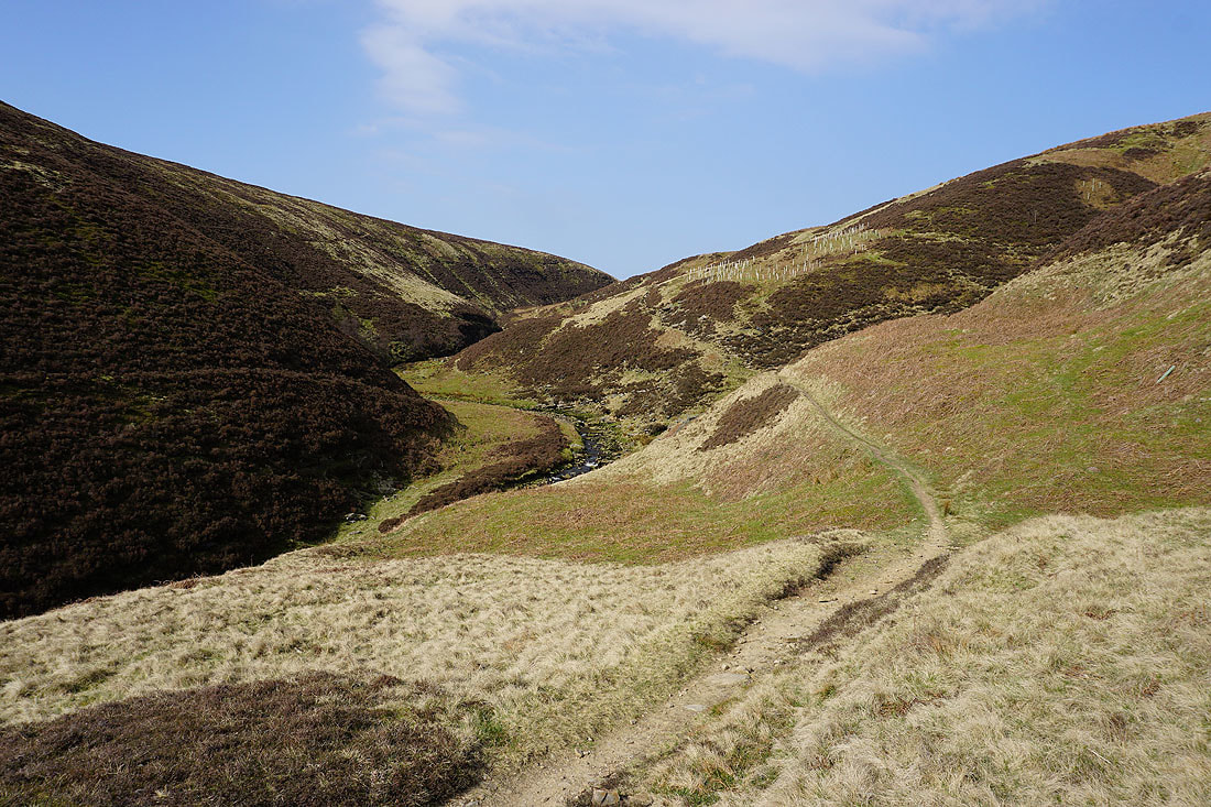
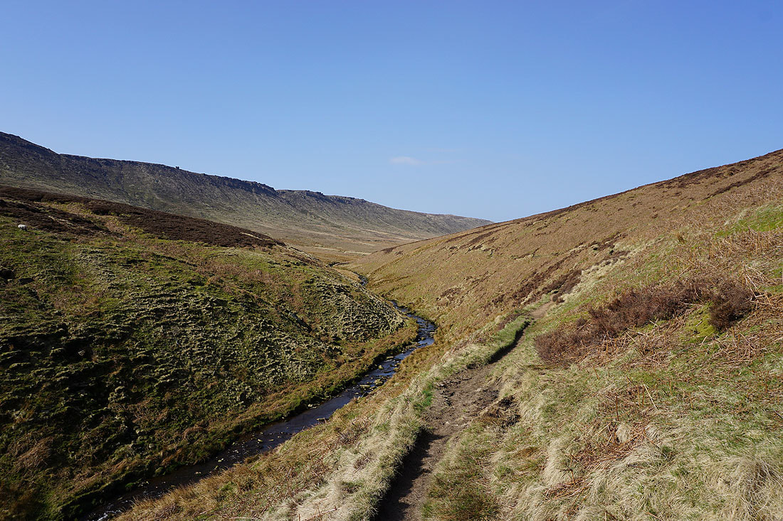
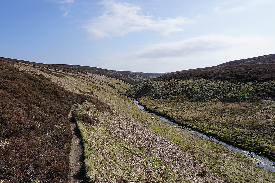
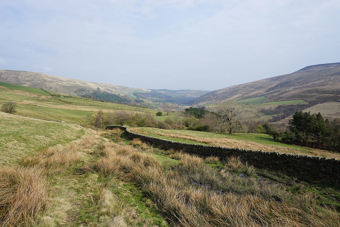
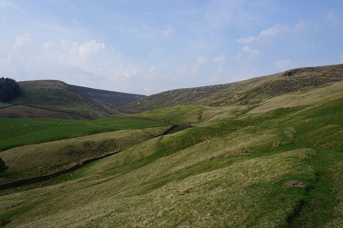
There are great views as I make my way up the clough and occasionally have a look back.......
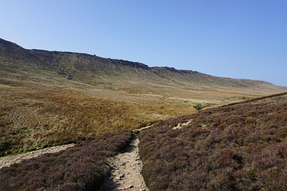
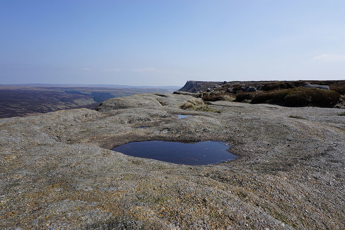
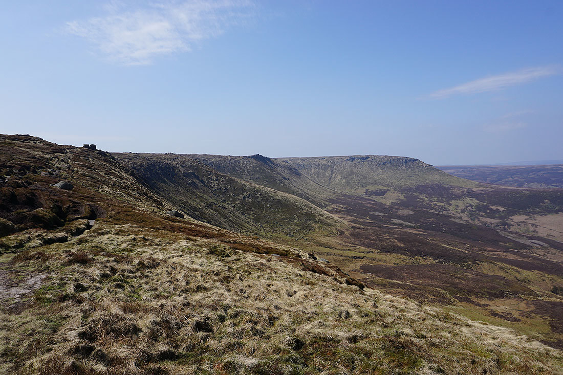
The gritstone tors of Black Ashop Edge come into view
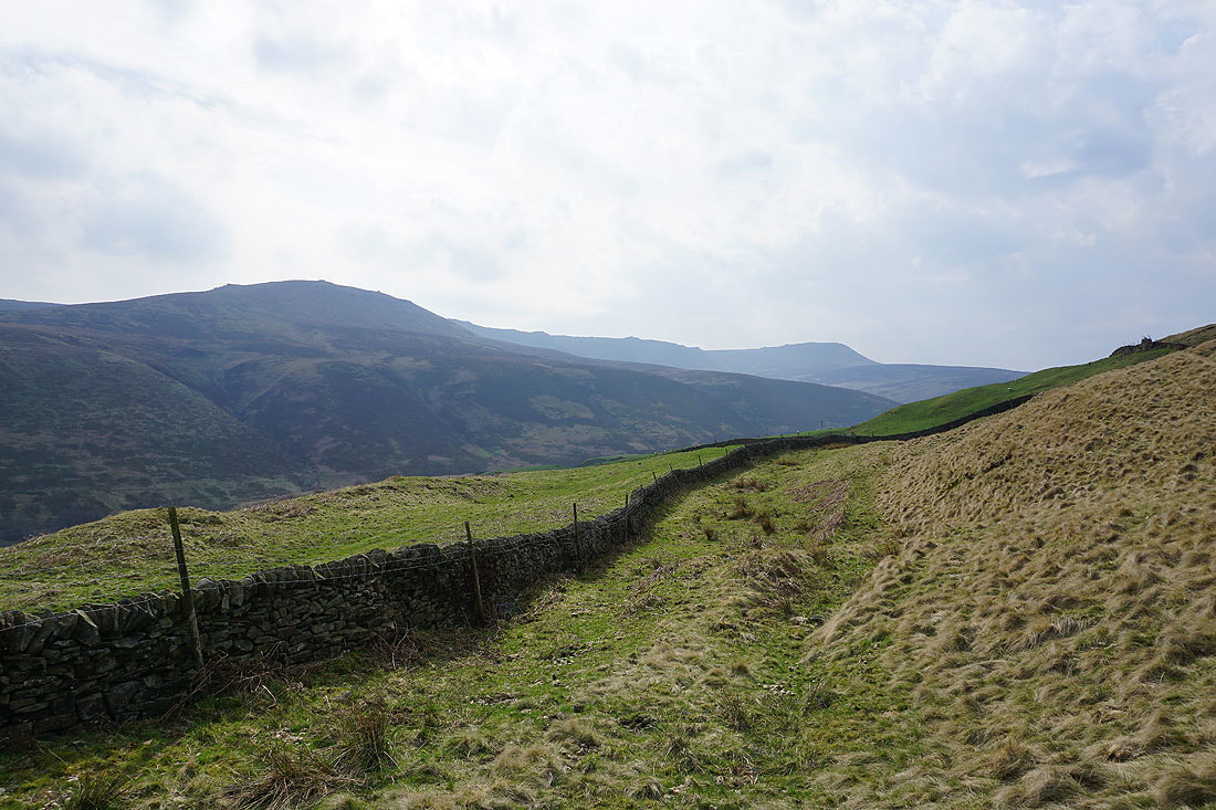
A last look back from Ashop Head
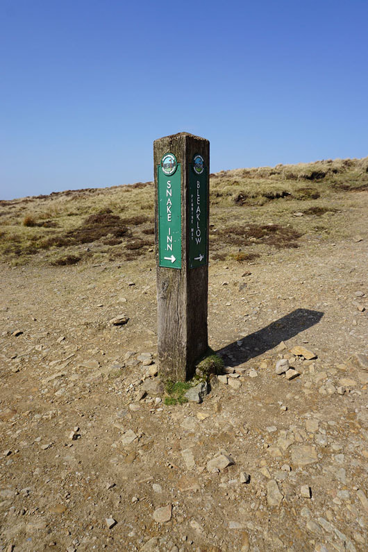
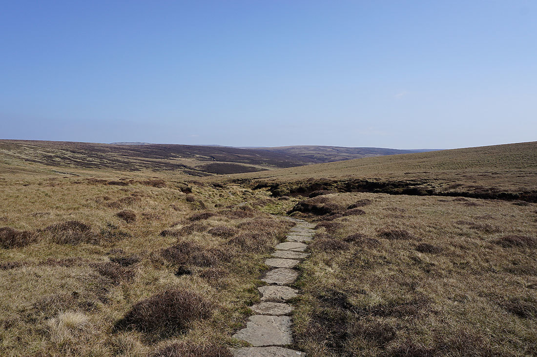
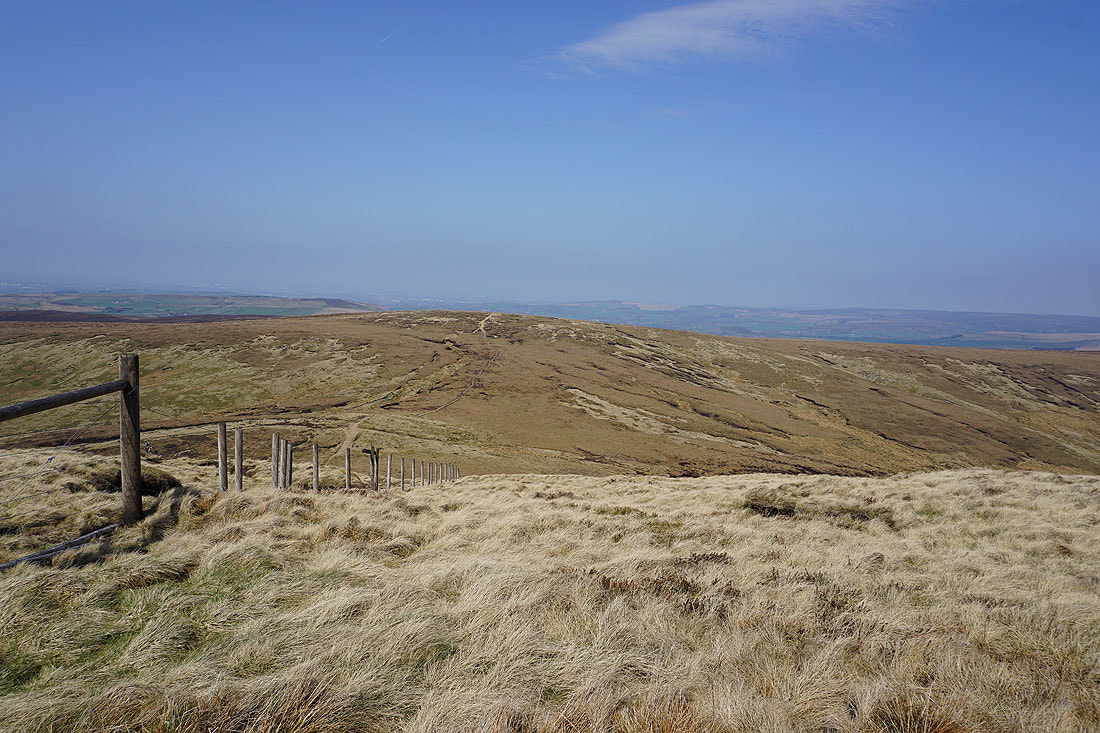
At the footpath crossroads at the tops of William Clough and Ashop Clough
A look down William Clough to Kinder Reservoir before I take to the edges
Mill Hill carries the Pennine Way to the Snake Pass
and there's Bleaklow on its other side
Black Ashop Edge stretches ahead to the east
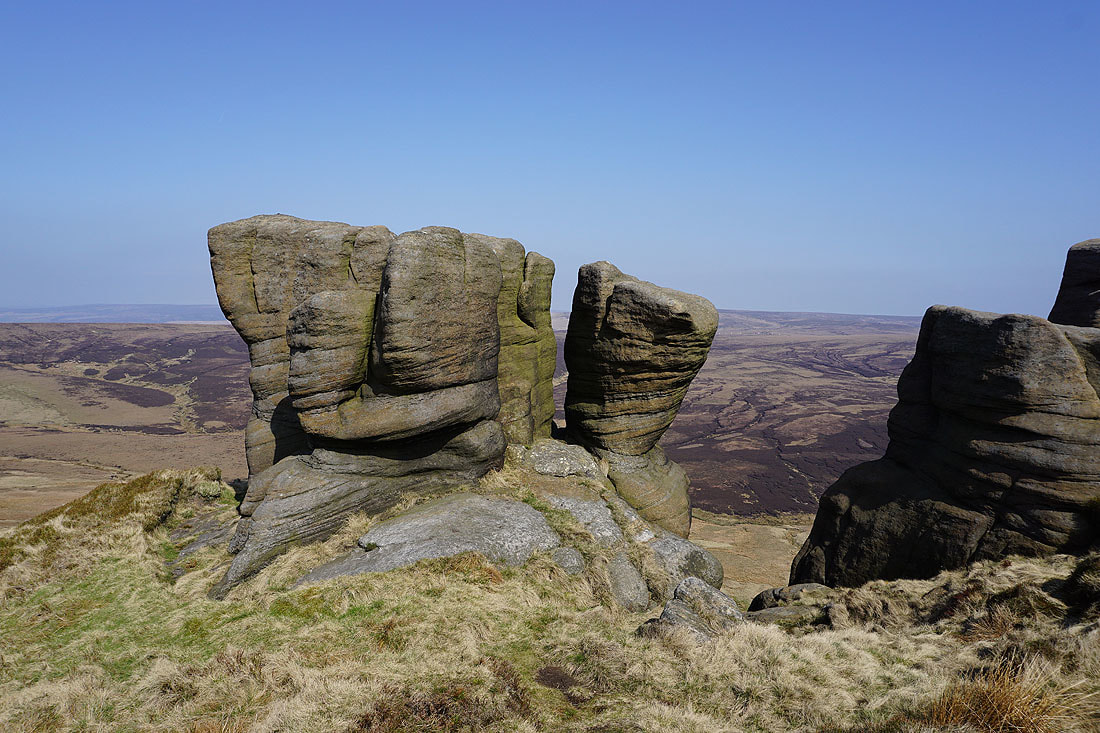
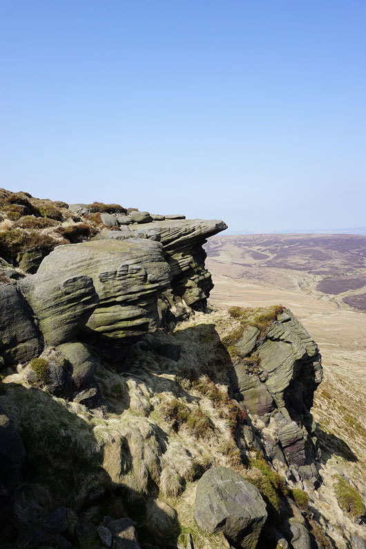
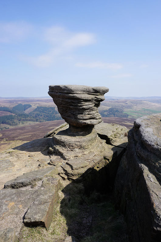
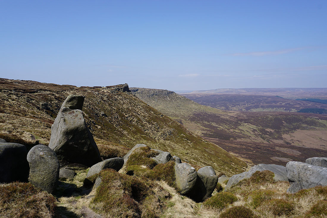
The Boxing Glove Stones
Up close with the gritstone
|
|
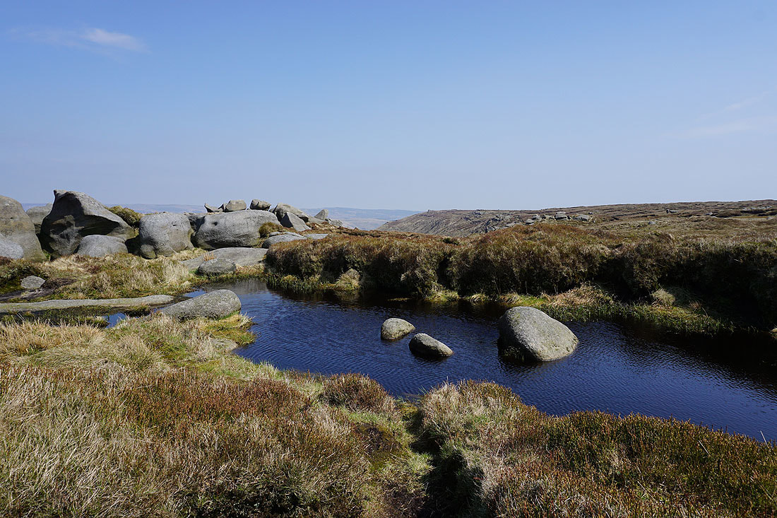
Crags around and crossing Nether Red Brook
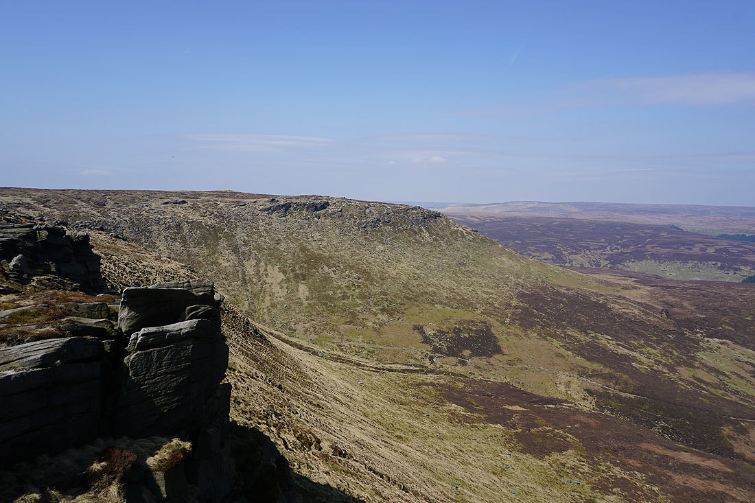
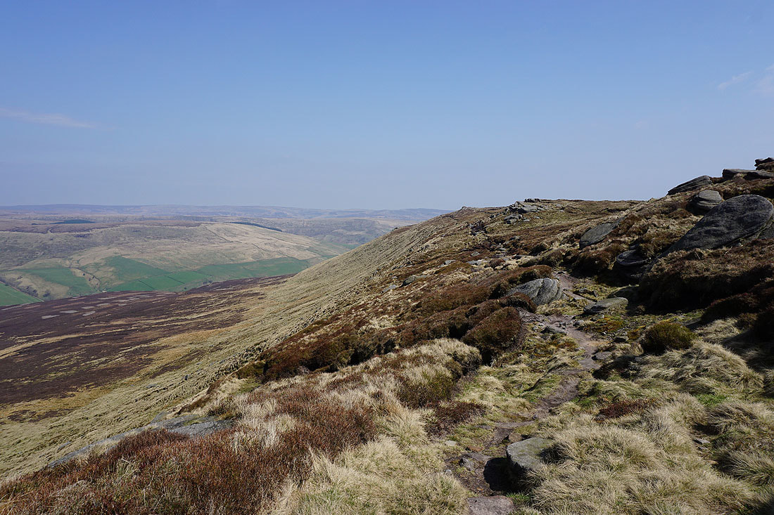
Looking west along Black Ashop Edge
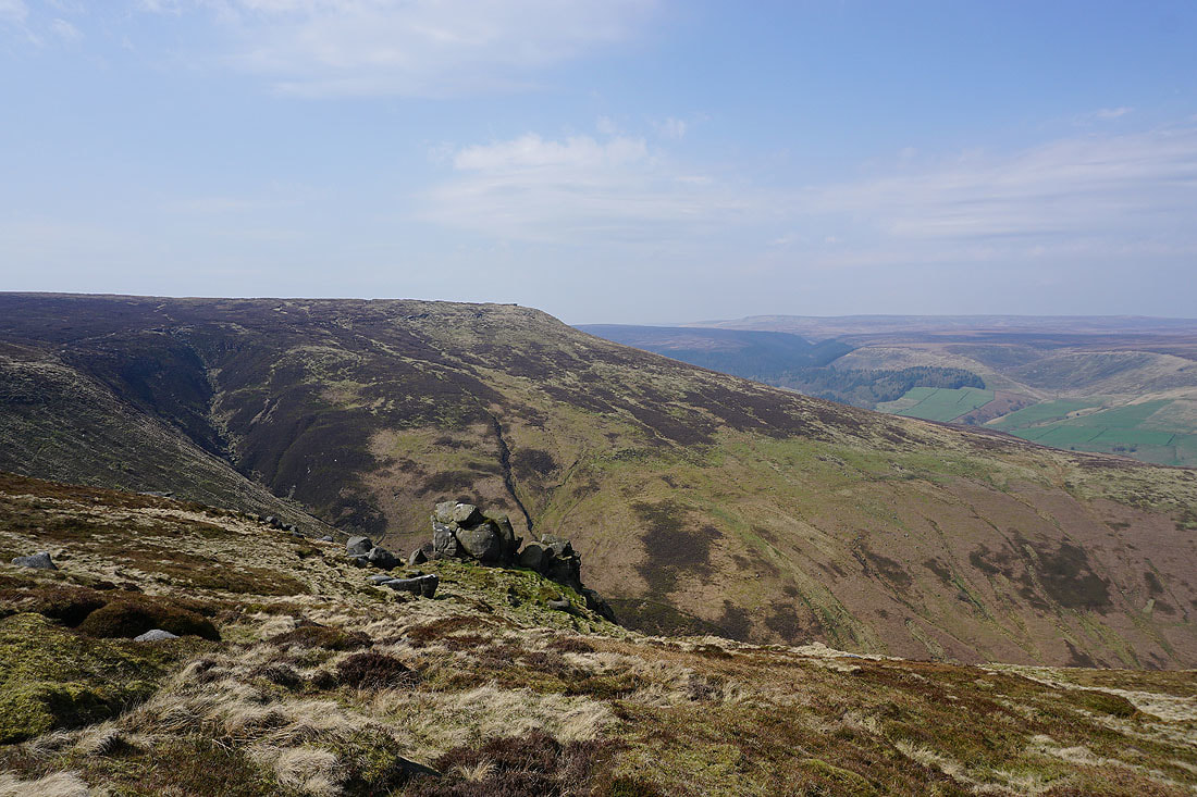
The gritstone tor on Fairbrook Naze. That's one edge done, a good time to stop and have my lunch.
The view from Fairbrook Naze. Bleaklow to the north.
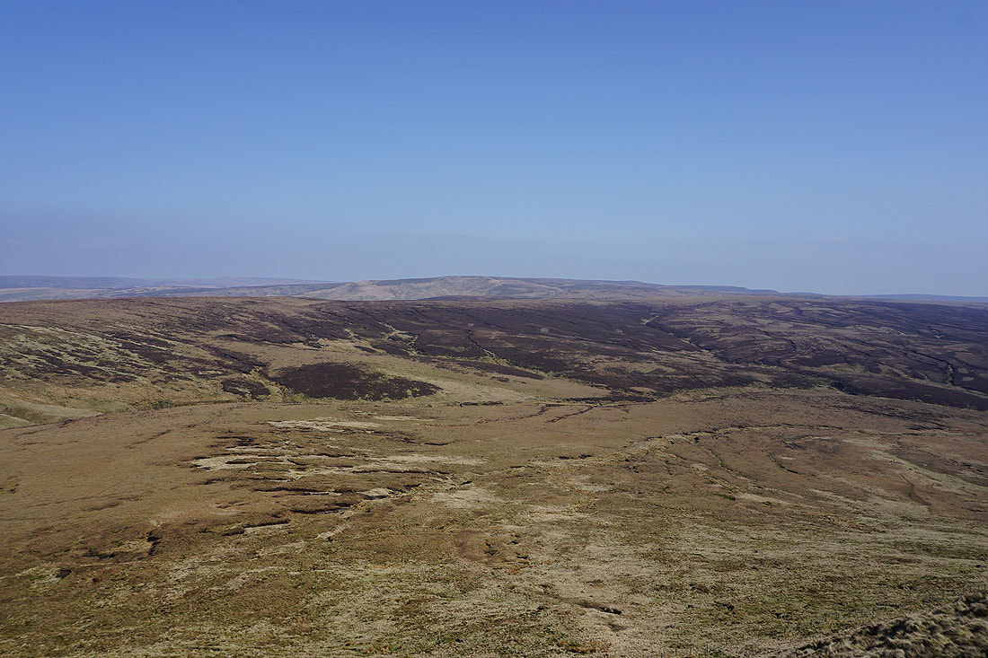
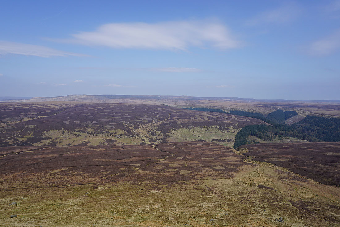
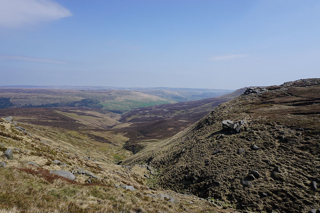
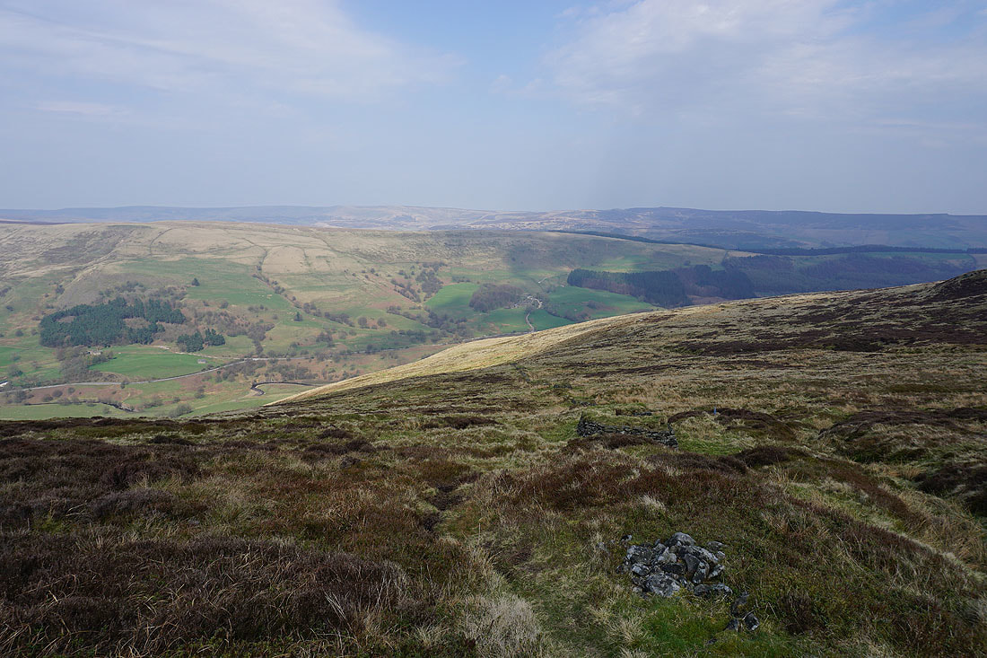
Alport Moor with the Howden Moors in the distance
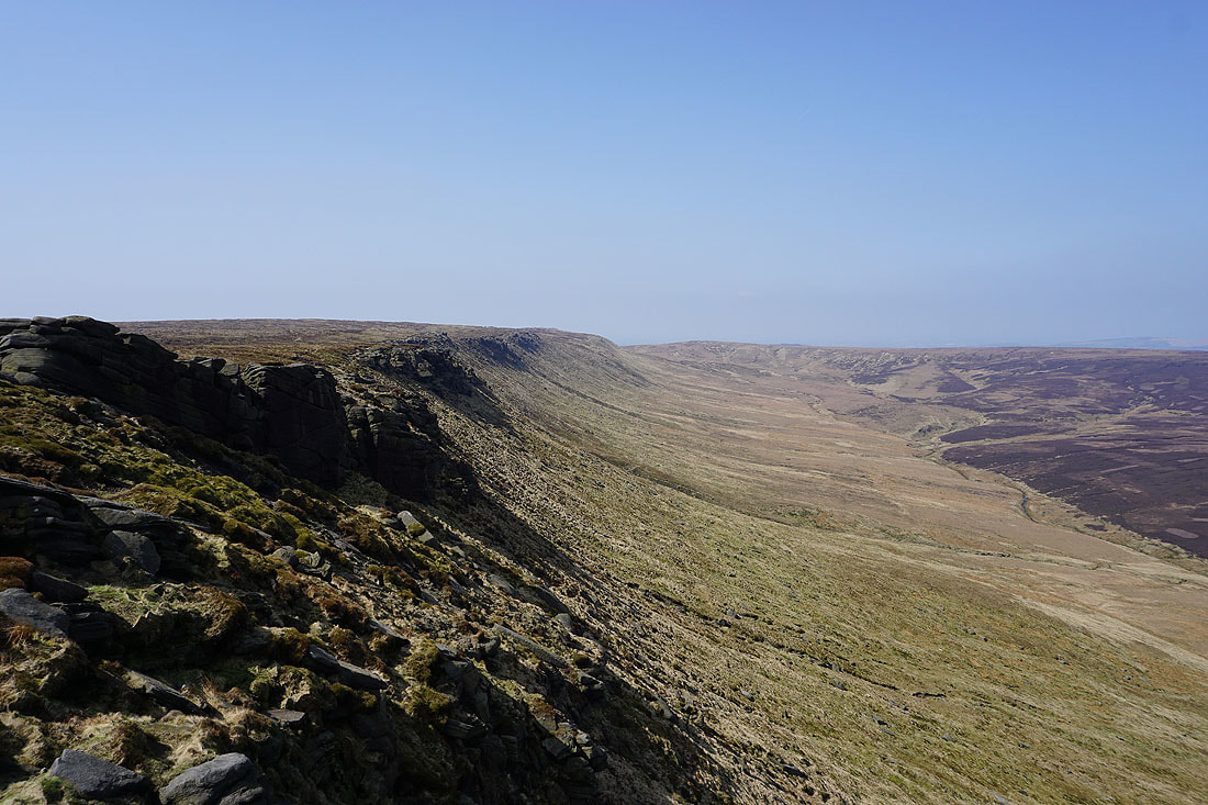
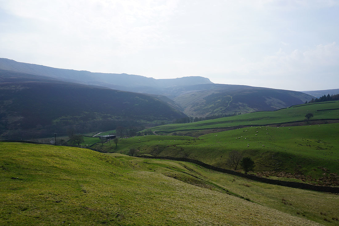
Looking down the Woodlands Valley with Blackden and Seal Edges on the right
The Woodlands Valley as I approach Fair Brook
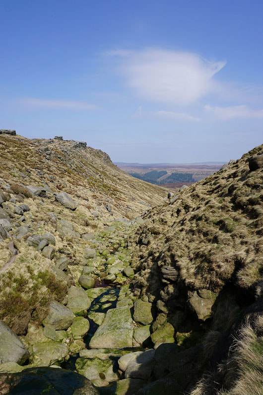
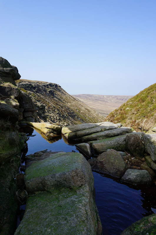
Crossing Fair Brook
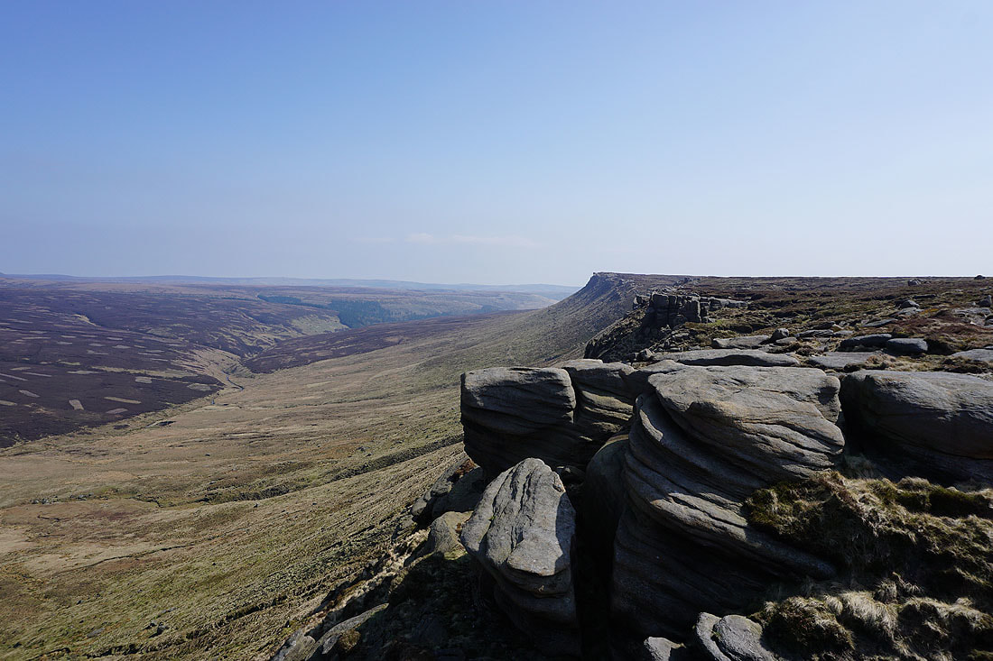
Seal Edge from the prominent crag at its western end
and looking back to Fairbrook Naze
Looking back and the crag in the middle of the photo is the one that I was just stood on
Making my way along Seal Edge...
Looking back to Fairbrook Naze from the eastern end of Seal Edge
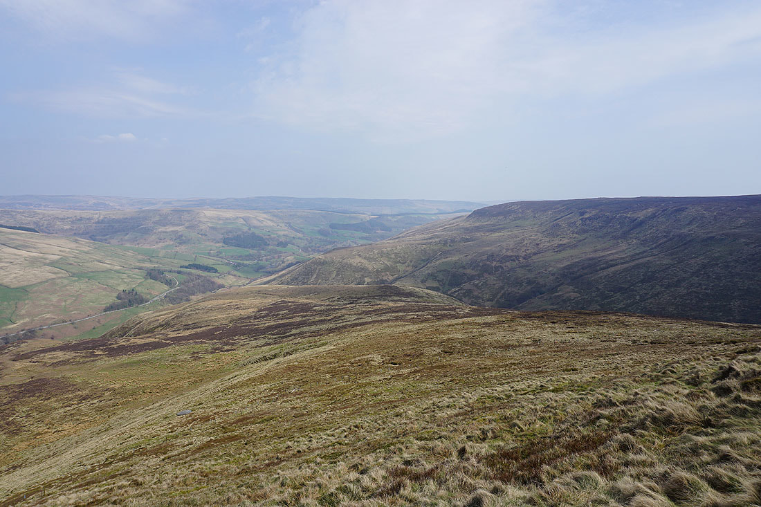
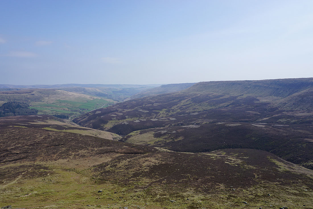
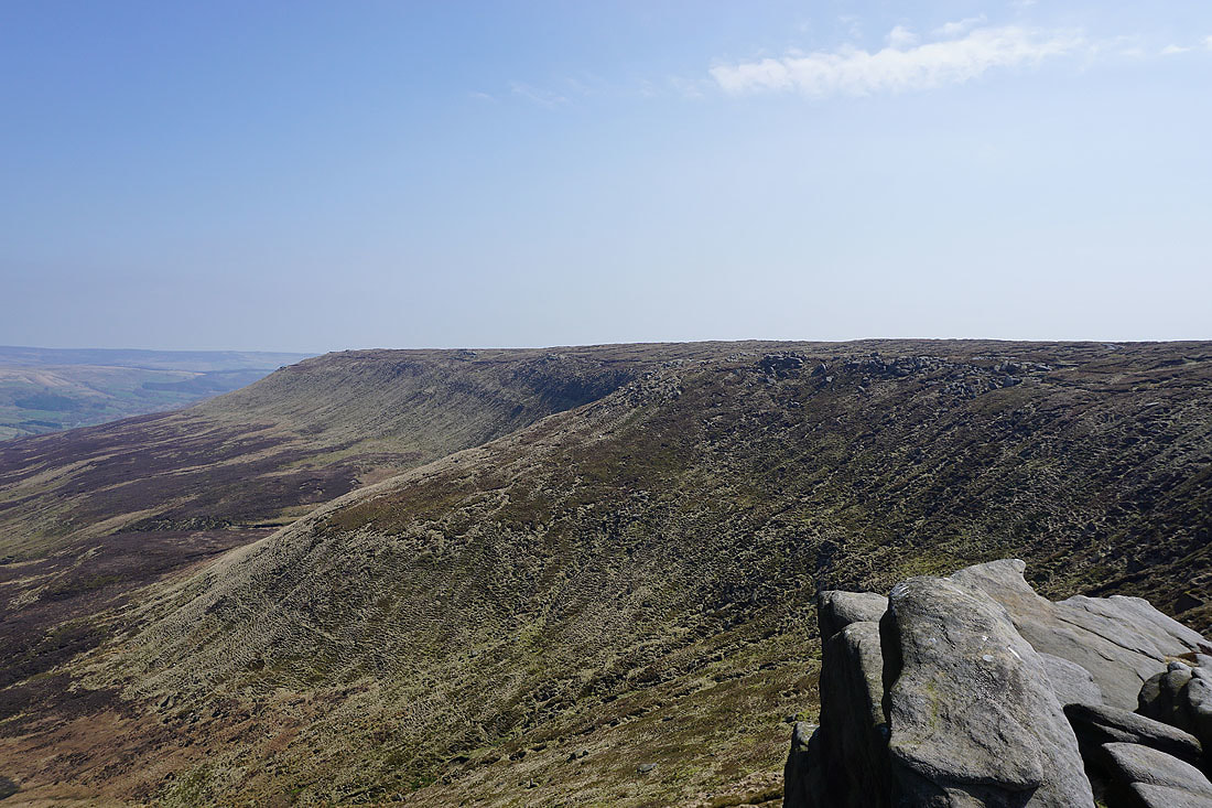
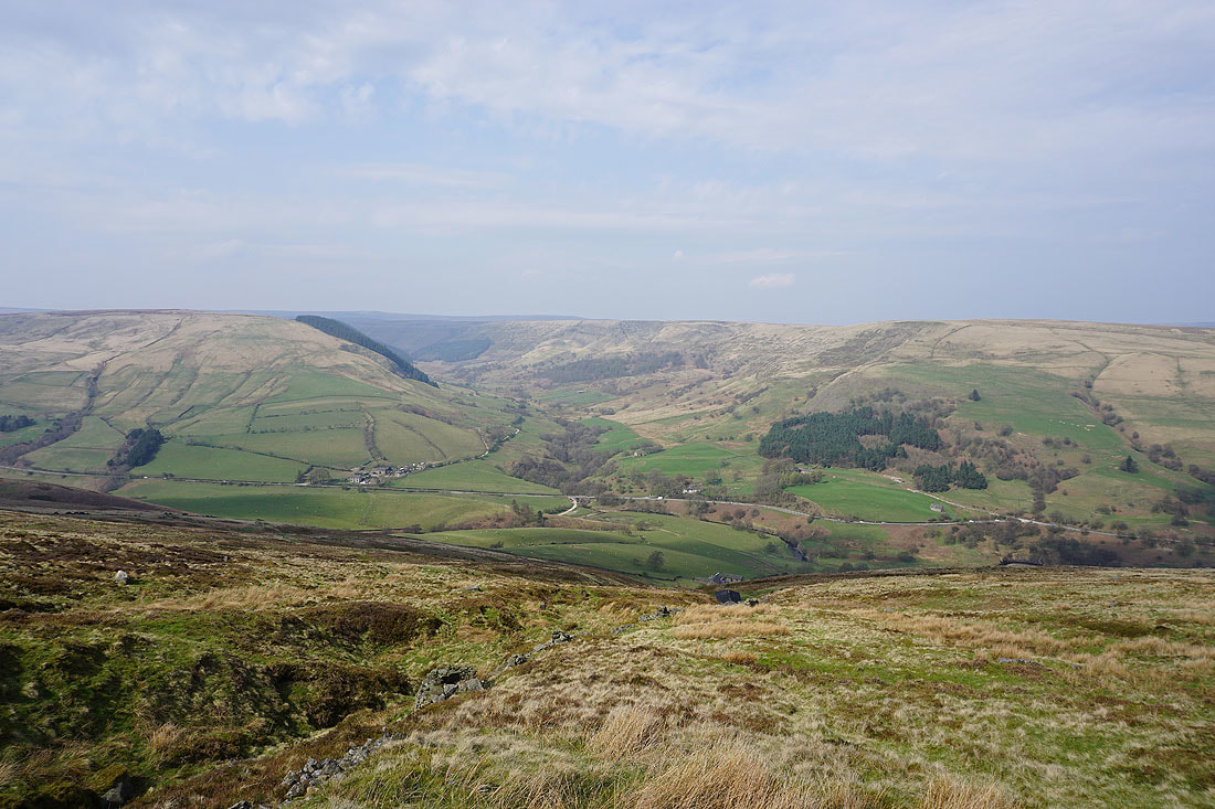
and down the Woodlands Valley with Blackden Edge on the right
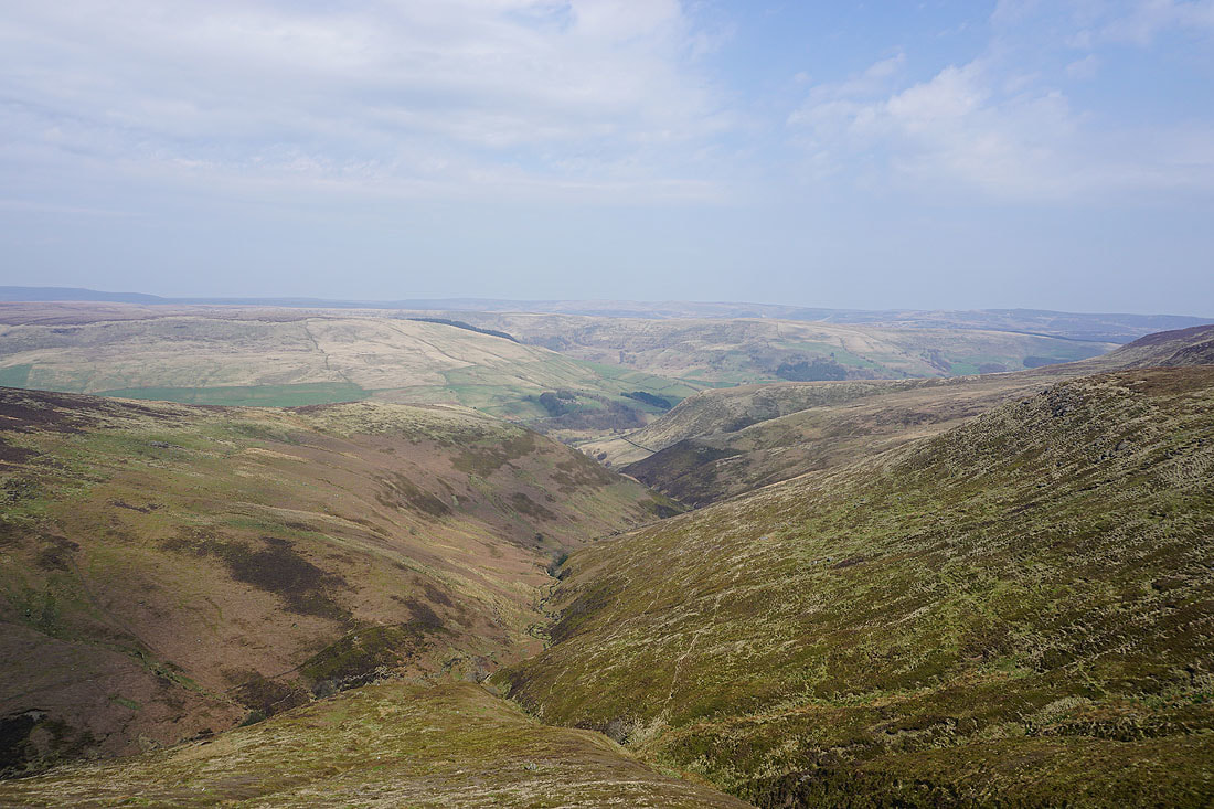
Looking across the Woodlands Valley to Alport Dale with Blackden Brook below..
Blackden Moor and the eastern end of Seal Edge
My route down from Blackden Edge follows a ruined wall and a line of grouse butts to a shooting cabin (on the map)..
Then from the cabin, a track heads down to Upper Ashop Farm..
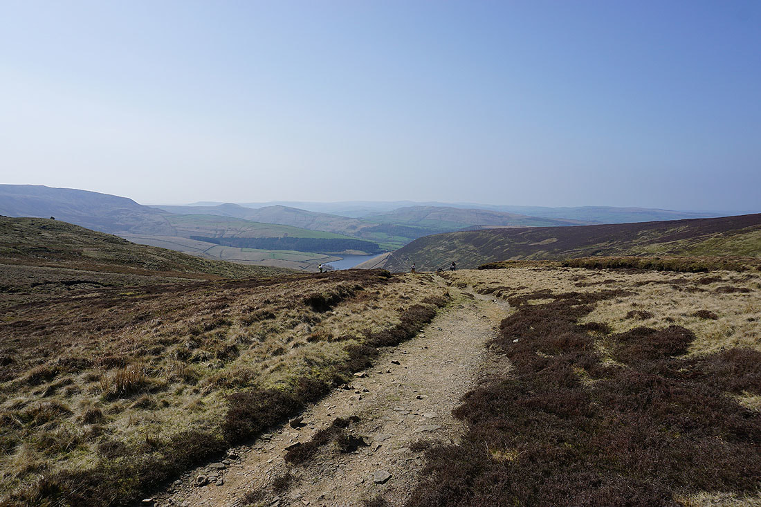
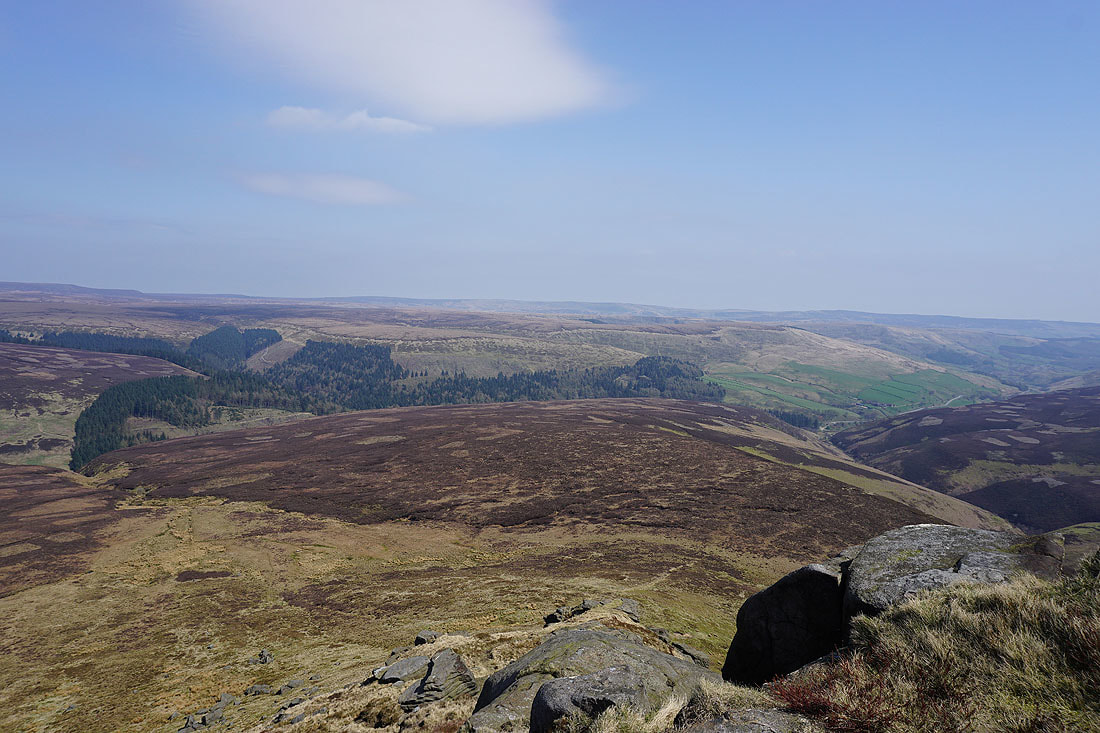
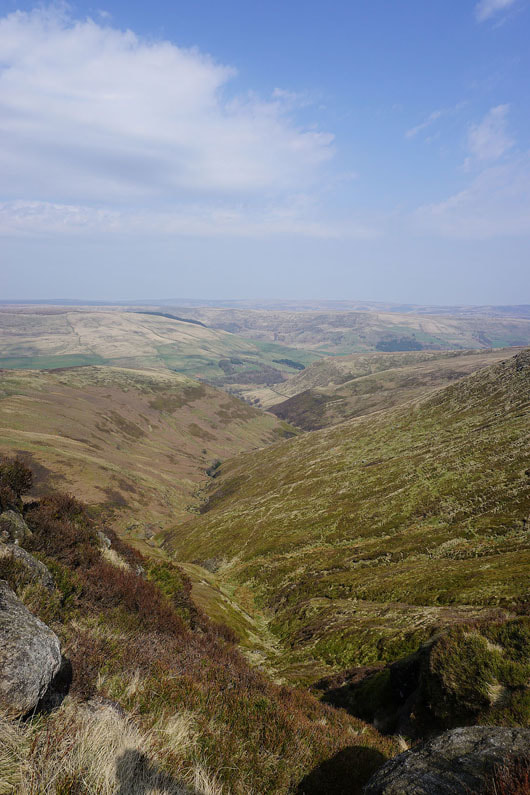
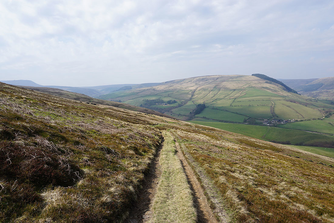
Looking down the Woodlands Valley having crossed the A57 and made my way past Hayridge Farm
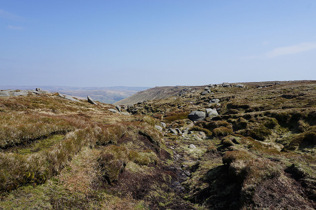
Seal Edge and Fairbrook Naze from the path across Cowns Moor..
The path then contours around Oyster Clough..
..before heading through the conifers back to where I'm parked at Birchen Clough Bridge