21st April 2019 - Weets Hill
Walk Details
Distance walked: 8.1 miles
Total ascent: 1463 ft
OS map used: OL21 - South Pennines
Time taken: 4 hrs
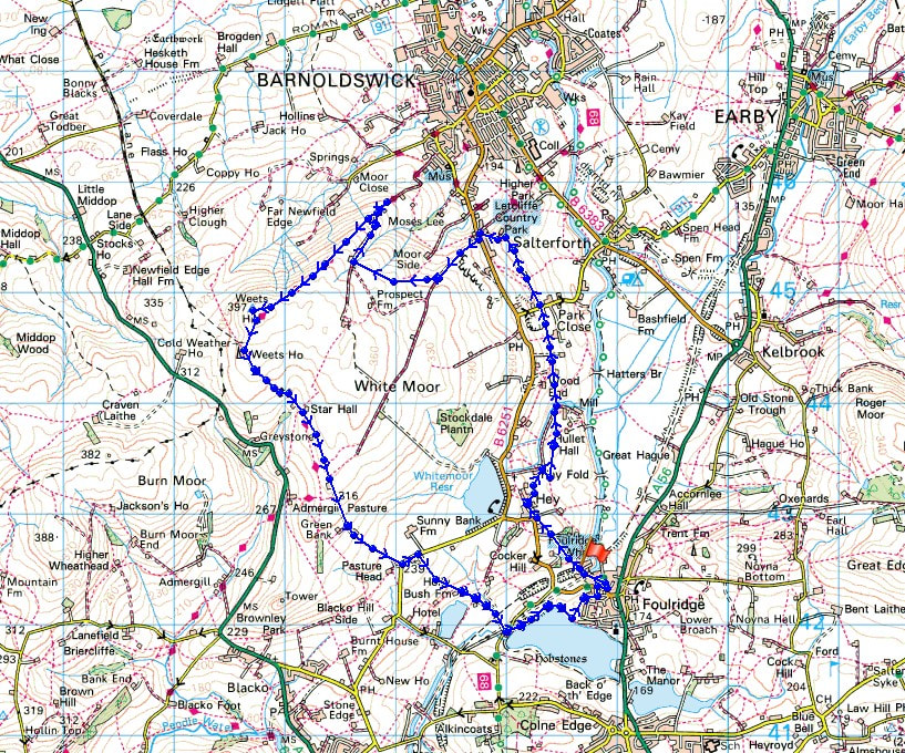
Route description: Foulridge-Whitemoor Road-Hey-Hey Fold-County Brook-Heather Leigh-Park Close-Moor Lane-Dye House Farm-B6251-Lister Well Road-Higher View-Folly Lane-Pendle Way-Weets Hill-Pendle Way-Weets House Farm-Gisburn Old Road-Standing Stone Lane-Whitemoor Riding Centre-Holly Bush Farm-Sand Hall-Reedymoor Lane-Foulridge Lower Reservoir-Foulridge
It didn't take me long to get around to doing the first walk directly from the door of my new home. Before moving I'd known that Weets Hill would make an ideal destination for such an expedition. I didn't set off from home until lunchtime for this, my third and last walk of the Easter weekend, and I spent a thoroughly enjoyable few hours walking to Weets Hill and back in glorious weather on a warm spring day.
Setting off from home I walked to the western end of Station Road and took the footpath straight up the hill and across fields to the corner of Whitemoor Road. Here I turned right and took a lane past some houses, then a footpath on the right down to Hey Fold. The next bit was a little complicated as I took the footpath right at Hey Fold, then left across the crest of a little hill and past Hullet Hall down to County Brook Lane. I briefly walked down the lane, took a footpath on the left through a patch of woodland and across a bridge over County Brook, before resuming following footpaths north across fields past Heather Leigh to Park Close on Moor Lane. I then walked a short distance down Moor Lane, took the footpath on the left and followed it north to arrive at Dye House Farm, where I walked up to the B6251. I crossed the road and took the bridleway opposite up Lister Well Road, which I followed uphill until I reached a gate on the right and a footpath across access land to Higher View at the top of Folly Lane. I then walked down Folly Lane until I reached a stile and the trail of the Pendle Way. The stile was crossed and the Pendle Way followed up to the summit of Weets Hill. After taking a break I returned to the Pendle Way to reach Weets House Farm at the top of Gisburn Old Road. I then walked all the way down Gisburn Old Road, turned left onto Standing Stone Lane, then took the footpath on the right through Whitemoor Riding Centre down to Holly Bush Farm, then down a lane past Sand Hall to Reedymoor Lane. After walking up to the edge of Foulridge Lower Reservoir I followed the path along its shore clockwise to a ladder stile over a wall, which I crossed, and then the path north across a couple of fields and along the edge of a housing estate took me back to Whitemoor Road in Foulridge for a short walk back home.
Total ascent: 1463 ft
OS map used: OL21 - South Pennines
Time taken: 4 hrs
Route description: Foulridge-Whitemoor Road-Hey-Hey Fold-County Brook-Heather Leigh-Park Close-Moor Lane-Dye House Farm-B6251-Lister Well Road-Higher View-Folly Lane-Pendle Way-Weets Hill-Pendle Way-Weets House Farm-Gisburn Old Road-Standing Stone Lane-Whitemoor Riding Centre-Holly Bush Farm-Sand Hall-Reedymoor Lane-Foulridge Lower Reservoir-Foulridge
It didn't take me long to get around to doing the first walk directly from the door of my new home. Before moving I'd known that Weets Hill would make an ideal destination for such an expedition. I didn't set off from home until lunchtime for this, my third and last walk of the Easter weekend, and I spent a thoroughly enjoyable few hours walking to Weets Hill and back in glorious weather on a warm spring day.
Setting off from home I walked to the western end of Station Road and took the footpath straight up the hill and across fields to the corner of Whitemoor Road. Here I turned right and took a lane past some houses, then a footpath on the right down to Hey Fold. The next bit was a little complicated as I took the footpath right at Hey Fold, then left across the crest of a little hill and past Hullet Hall down to County Brook Lane. I briefly walked down the lane, took a footpath on the left through a patch of woodland and across a bridge over County Brook, before resuming following footpaths north across fields past Heather Leigh to Park Close on Moor Lane. I then walked a short distance down Moor Lane, took the footpath on the left and followed it north to arrive at Dye House Farm, where I walked up to the B6251. I crossed the road and took the bridleway opposite up Lister Well Road, which I followed uphill until I reached a gate on the right and a footpath across access land to Higher View at the top of Folly Lane. I then walked down Folly Lane until I reached a stile and the trail of the Pendle Way. The stile was crossed and the Pendle Way followed up to the summit of Weets Hill. After taking a break I returned to the Pendle Way to reach Weets House Farm at the top of Gisburn Old Road. I then walked all the way down Gisburn Old Road, turned left onto Standing Stone Lane, then took the footpath on the right through Whitemoor Riding Centre down to Holly Bush Farm, then down a lane past Sand Hall to Reedymoor Lane. After walking up to the edge of Foulridge Lower Reservoir I followed the path along its shore clockwise to a ladder stile over a wall, which I crossed, and then the path north across a couple of fields and along the edge of a housing estate took me back to Whitemoor Road in Foulridge for a short walk back home.
Route map
© Crown copyright. All rights reserved. License number PU 100034184.
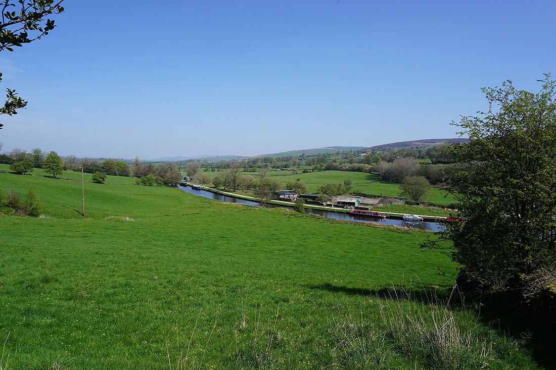
A quick look at the Leeds-Liverpool Canal from the footpath up to Foulridge Hall Farm..
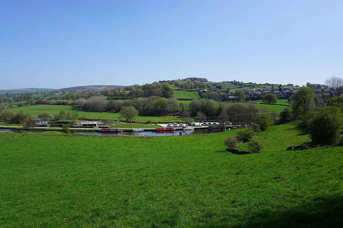
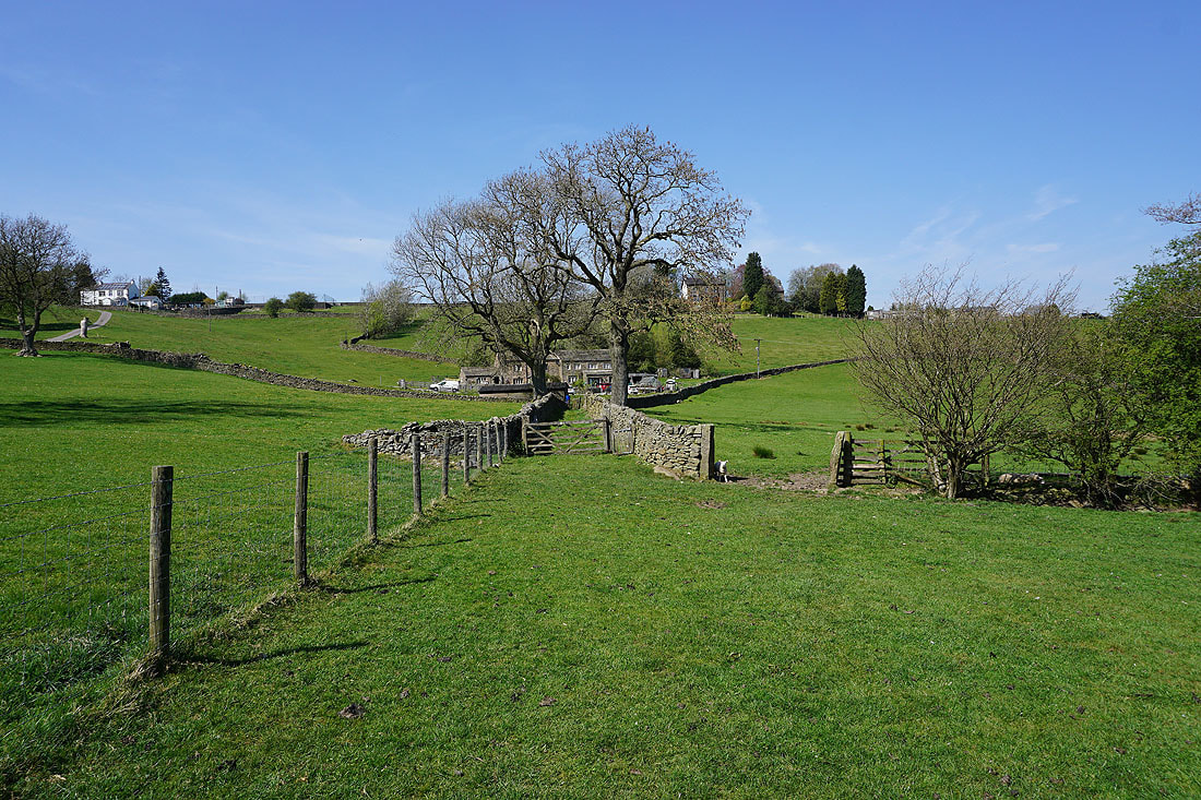
Leaving Foulridge behind
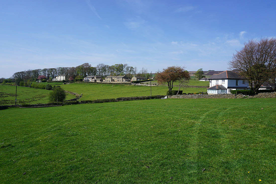
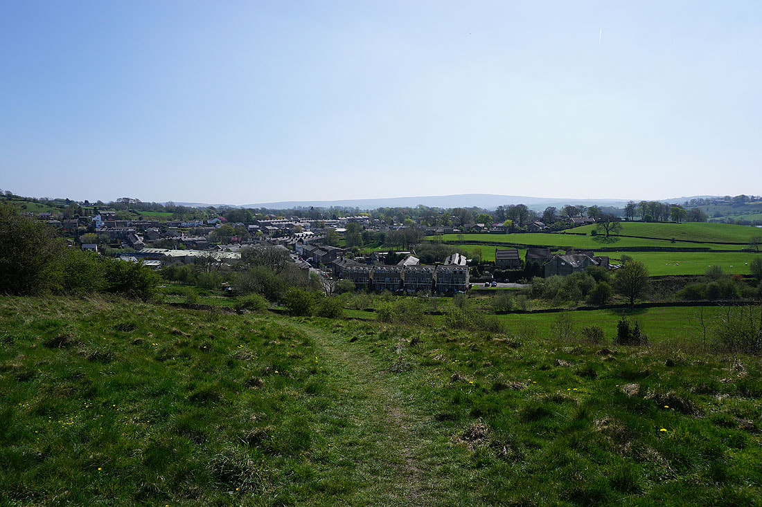
Up through fields to Lark Hill and Whitemoor Road
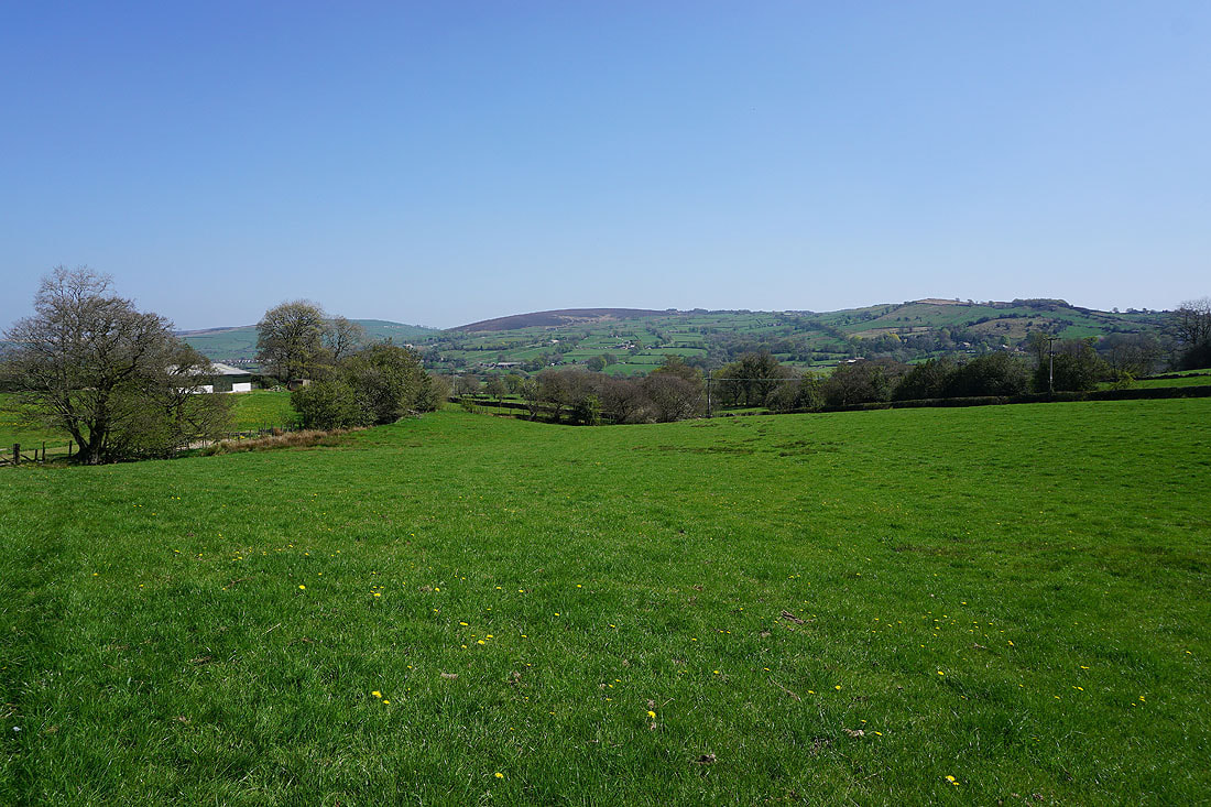
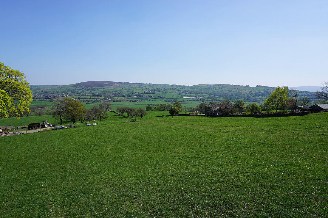
Bleara Moor, Kelbrook Moor and Noyna Hill from Hey Fold
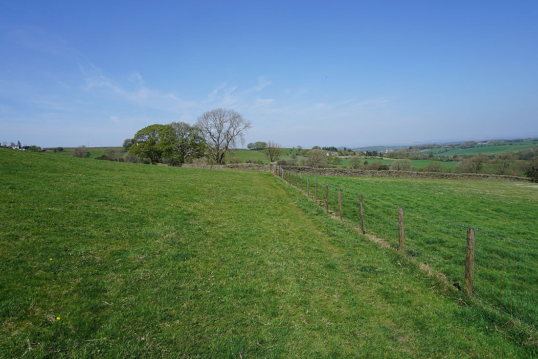
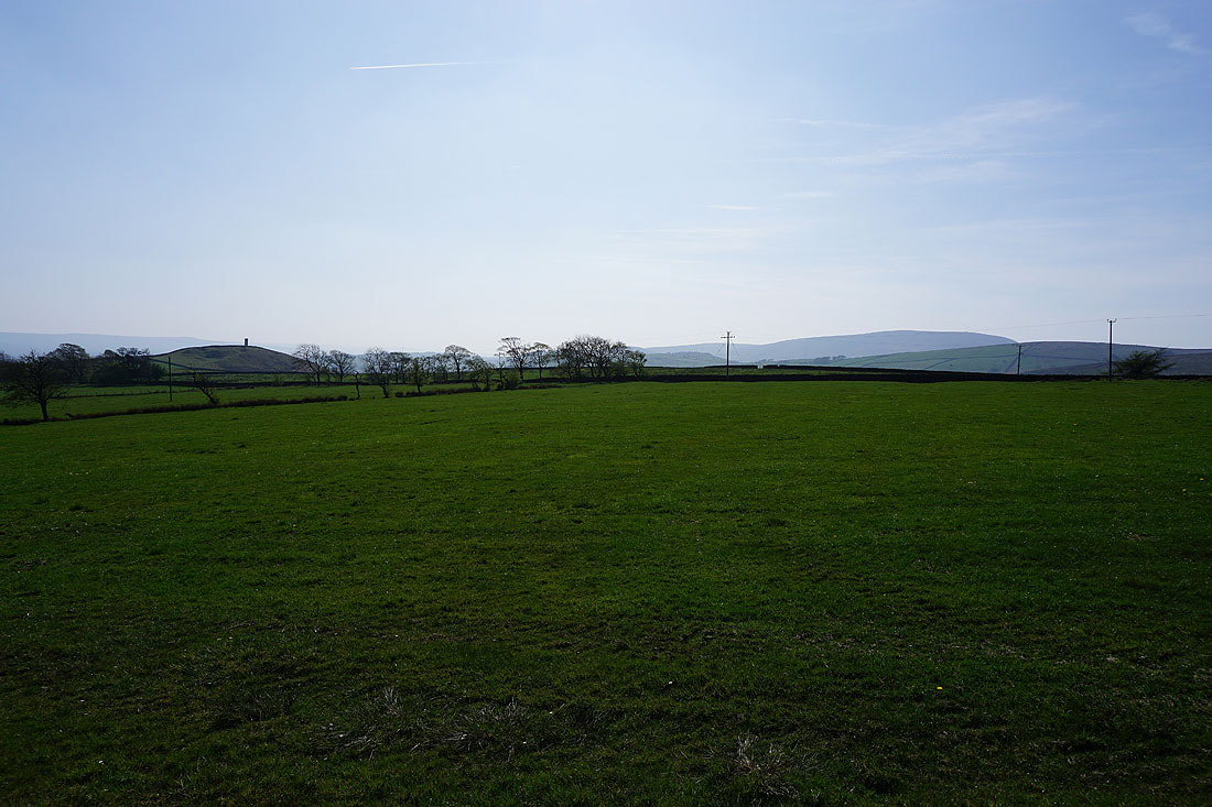
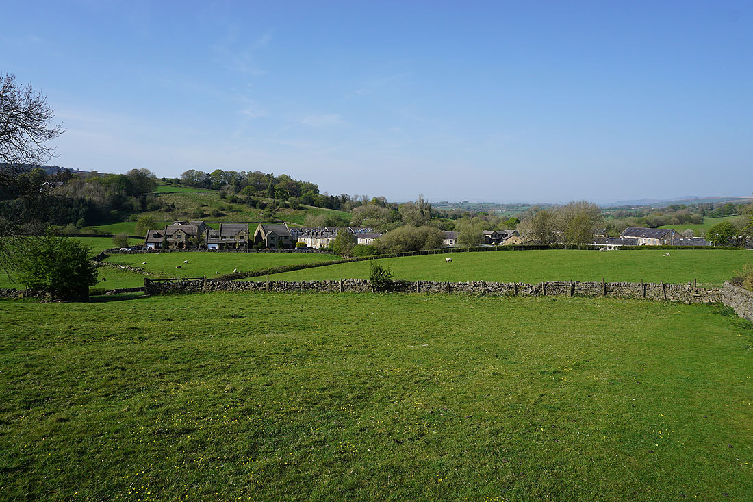
Farmland rising to White Moor to the west
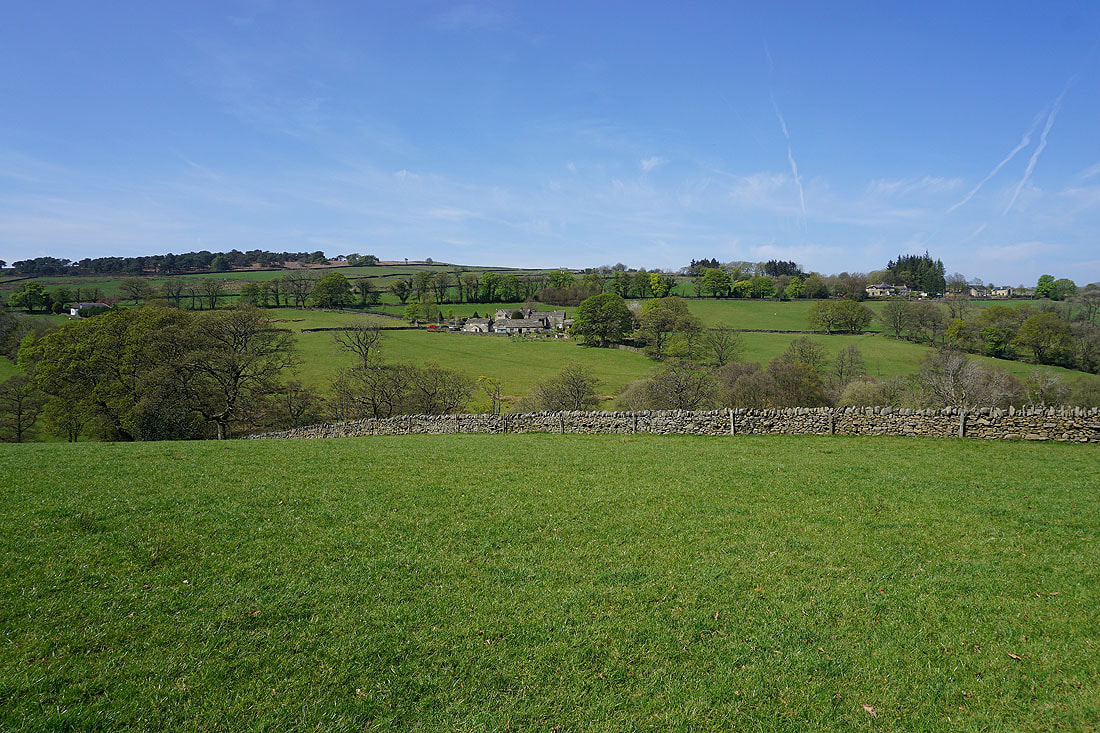
Above Hullet Hall and there's a more distant view to Barden Moor to the left of Earby, Bleara Moor and Kelbrook
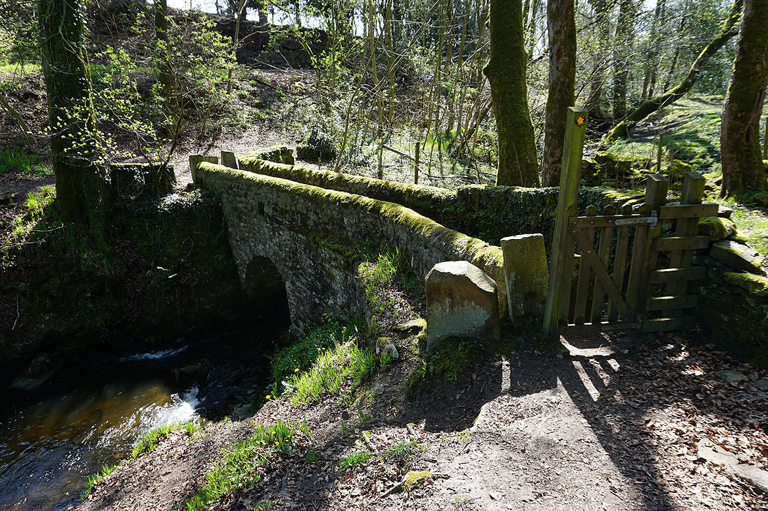
Lovely little footbridge over County Brook
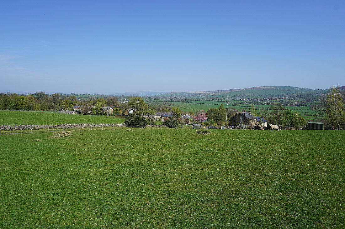
Kelbrook, Kelbrook Moor and Noyna Hill..
..as I continue to follow the footpaths north across farmland
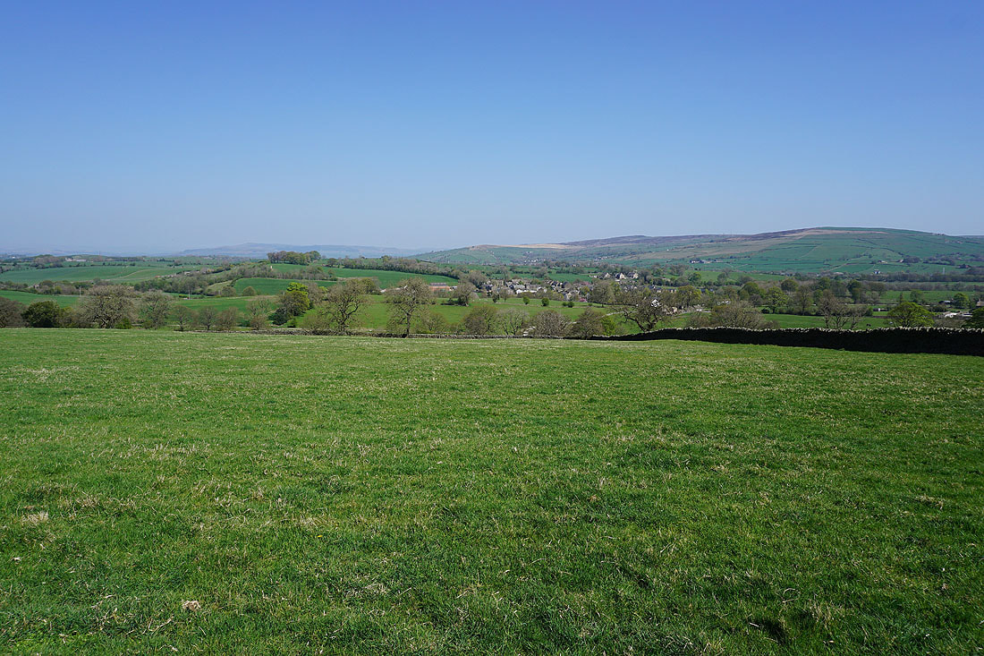
Barden Moor, Thornton Moor and Bleara Moor behind the village of Salterforth
Approaching Dye House Farm
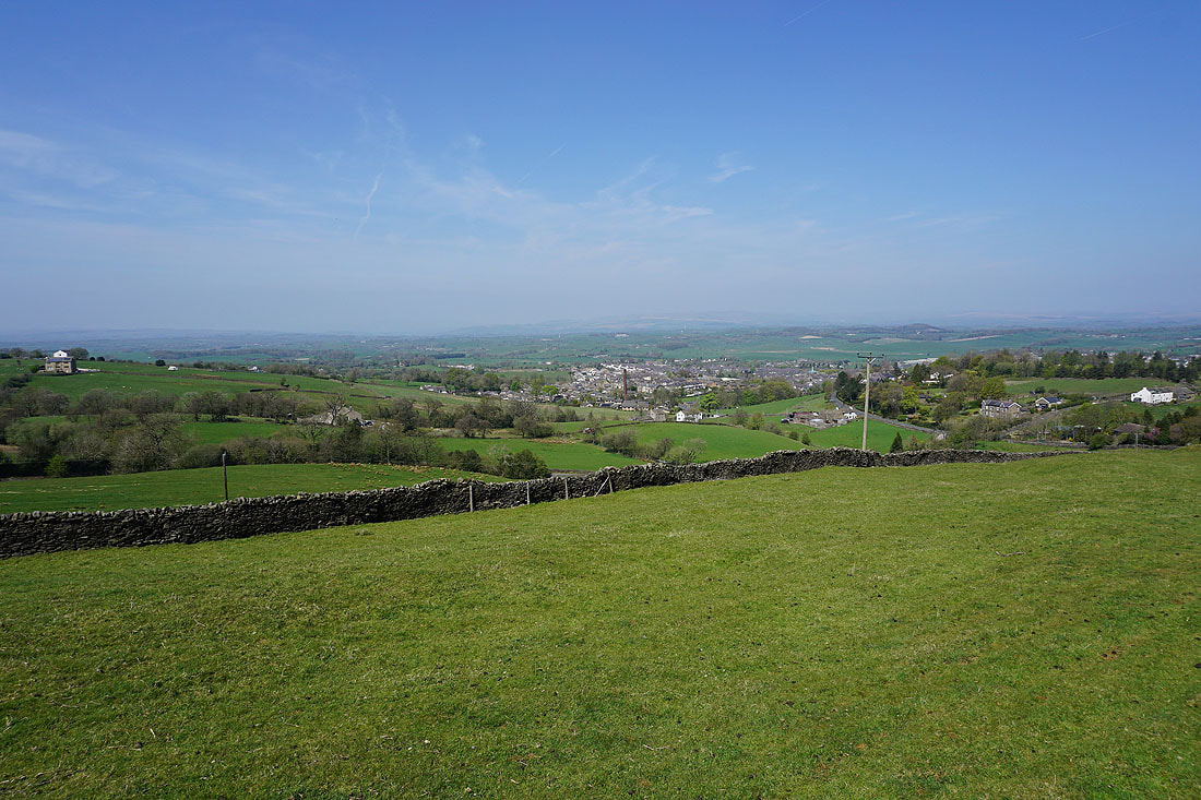
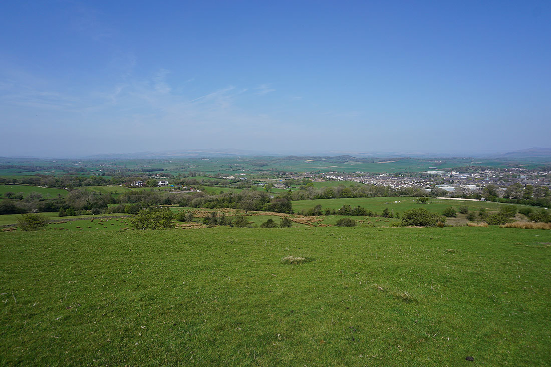
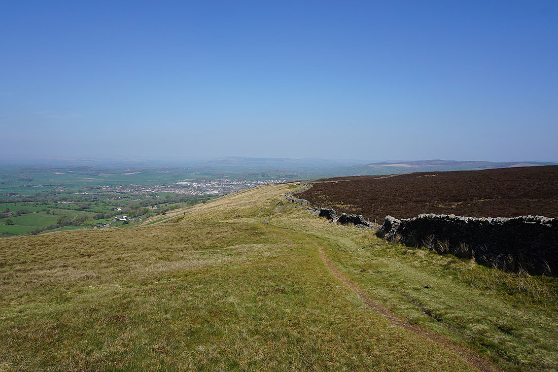
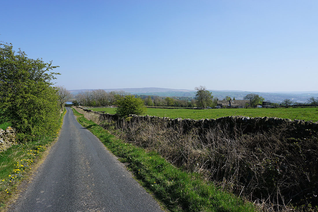
Barnoldswick below as I start following the Pennine Bridleway up Lister Well Road
and Barnoldswick from higher up Lister Well Road
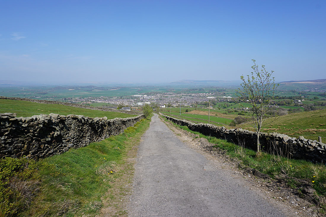
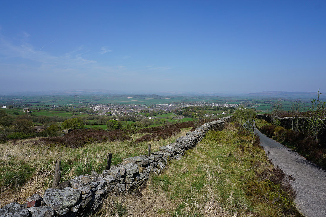
and after crossing access land on a footpath, Barnoldswick from Folly Lane
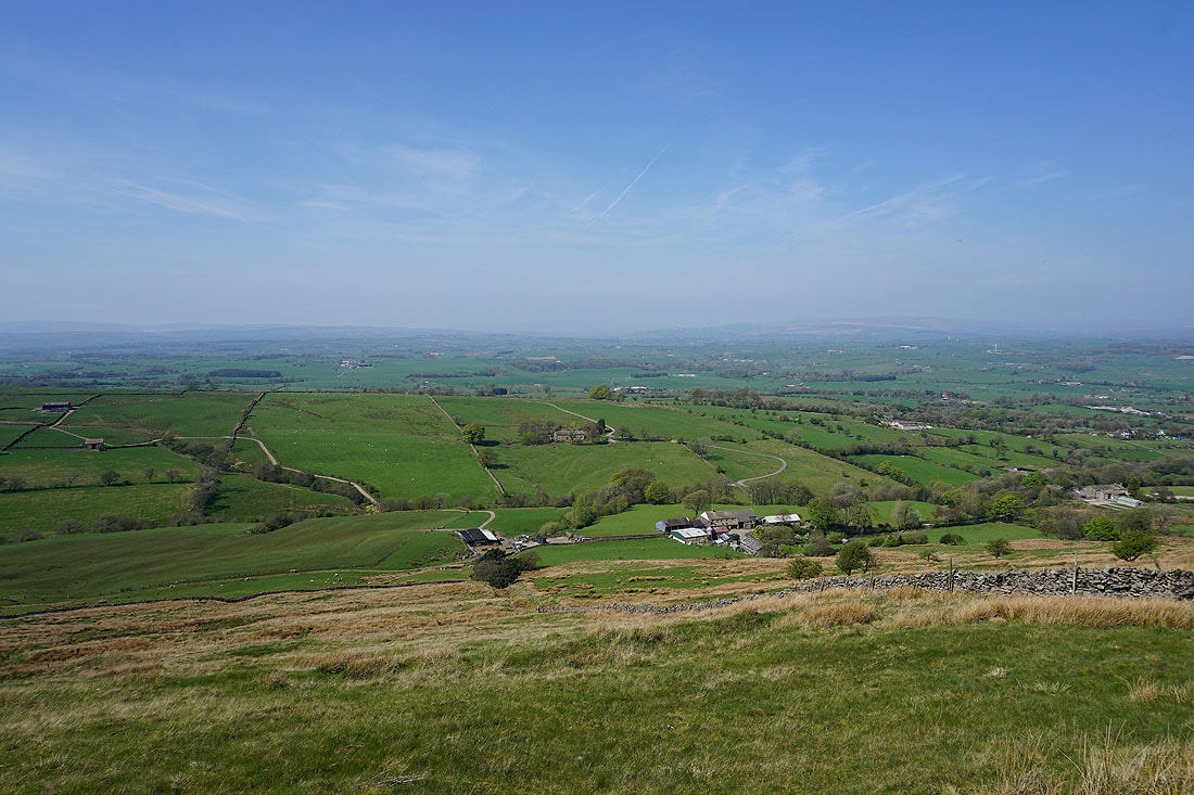
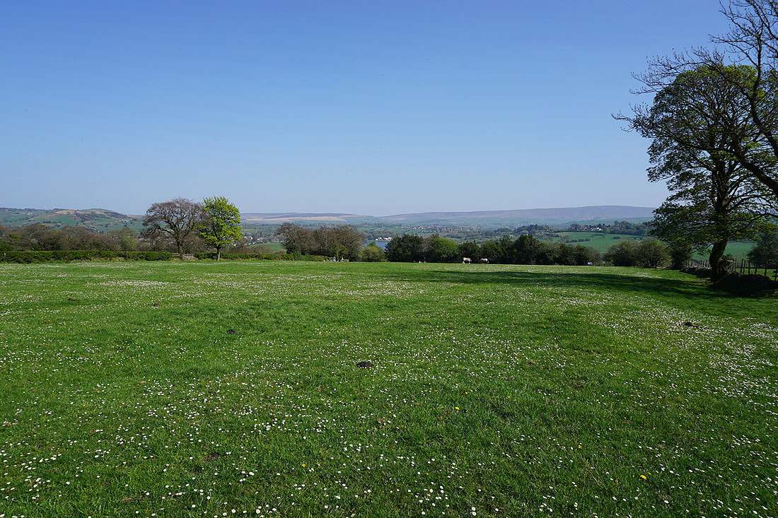
Hazy views to the north towards the Yorkshire Dales and Forest of Bowland..
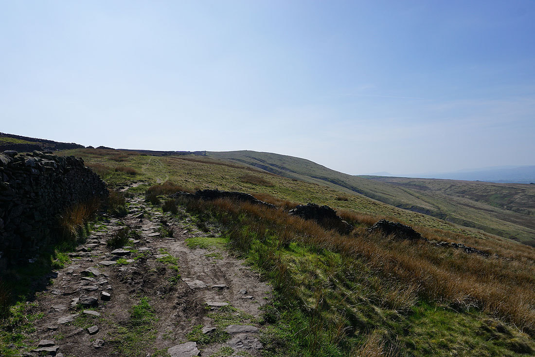
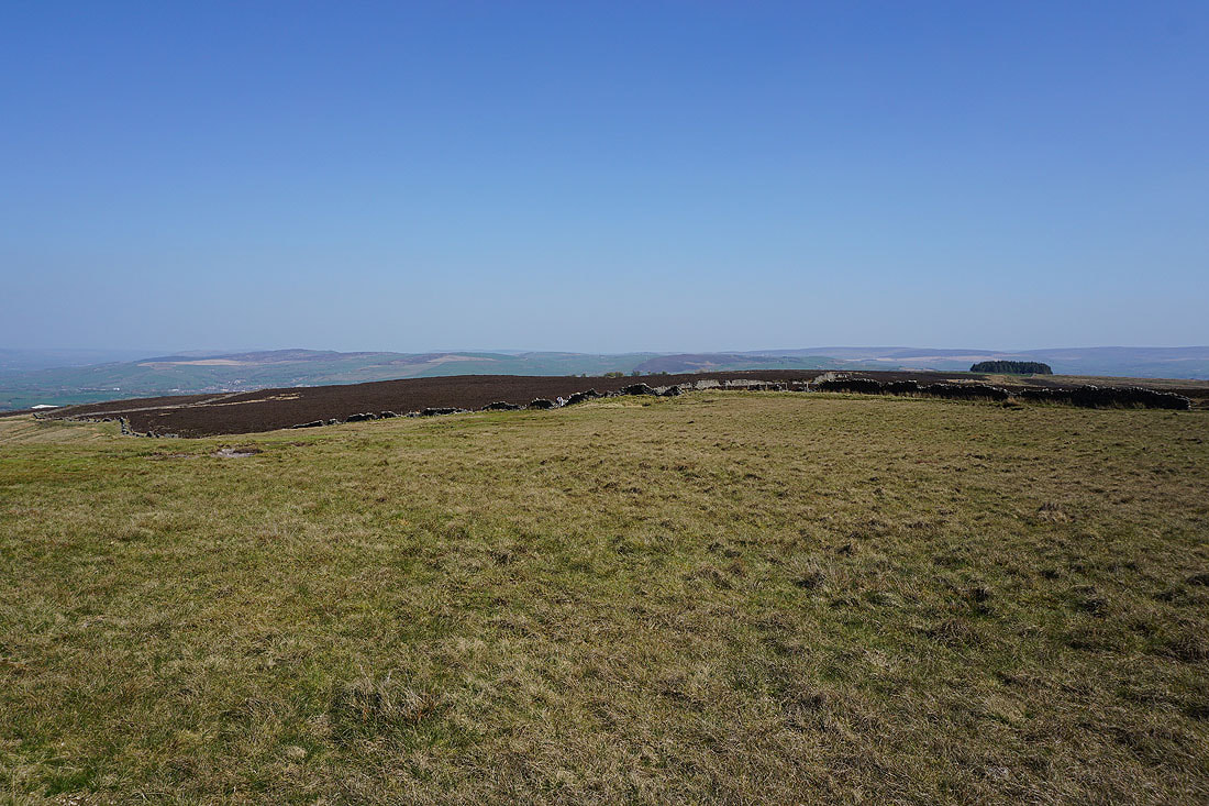
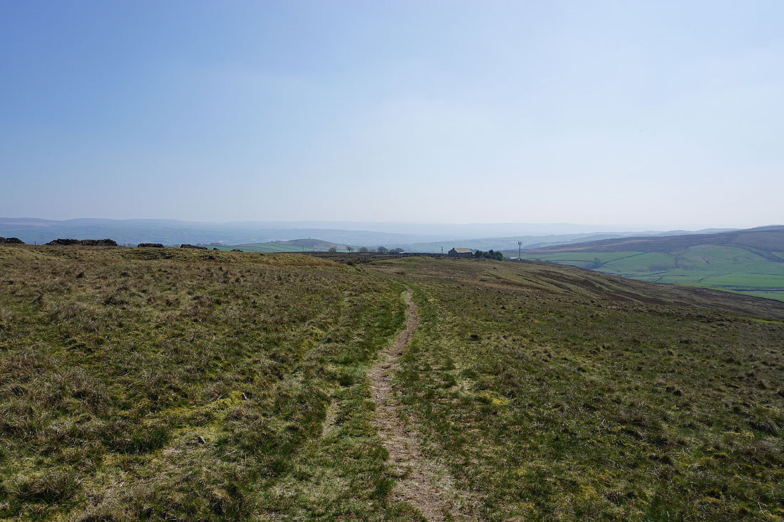
On the Pendle Way to the top of Weets Hill
The moors around Settle and Long Preston in the distance..
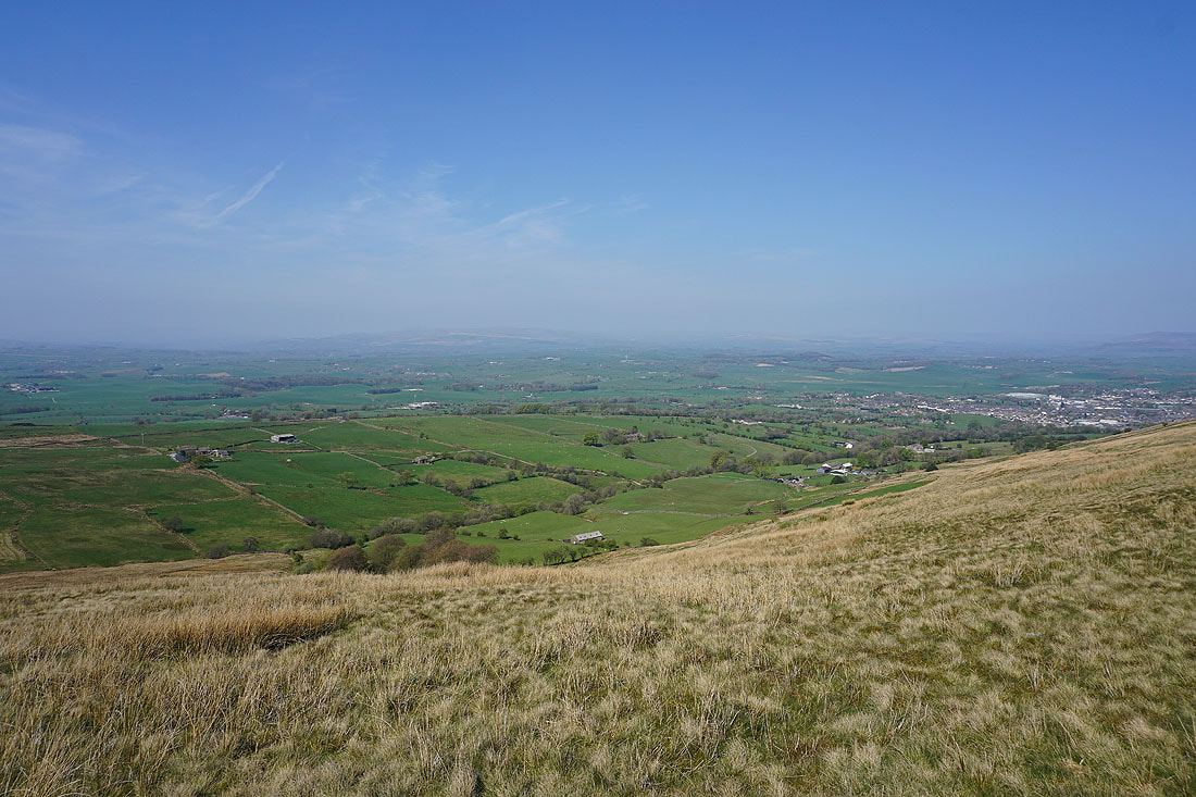
..and Barden Moor behind Barnoldswick as I make my way up Weets Hill
Pinhaw Beacon and Kelbrook Moor from the top of Weets Hill
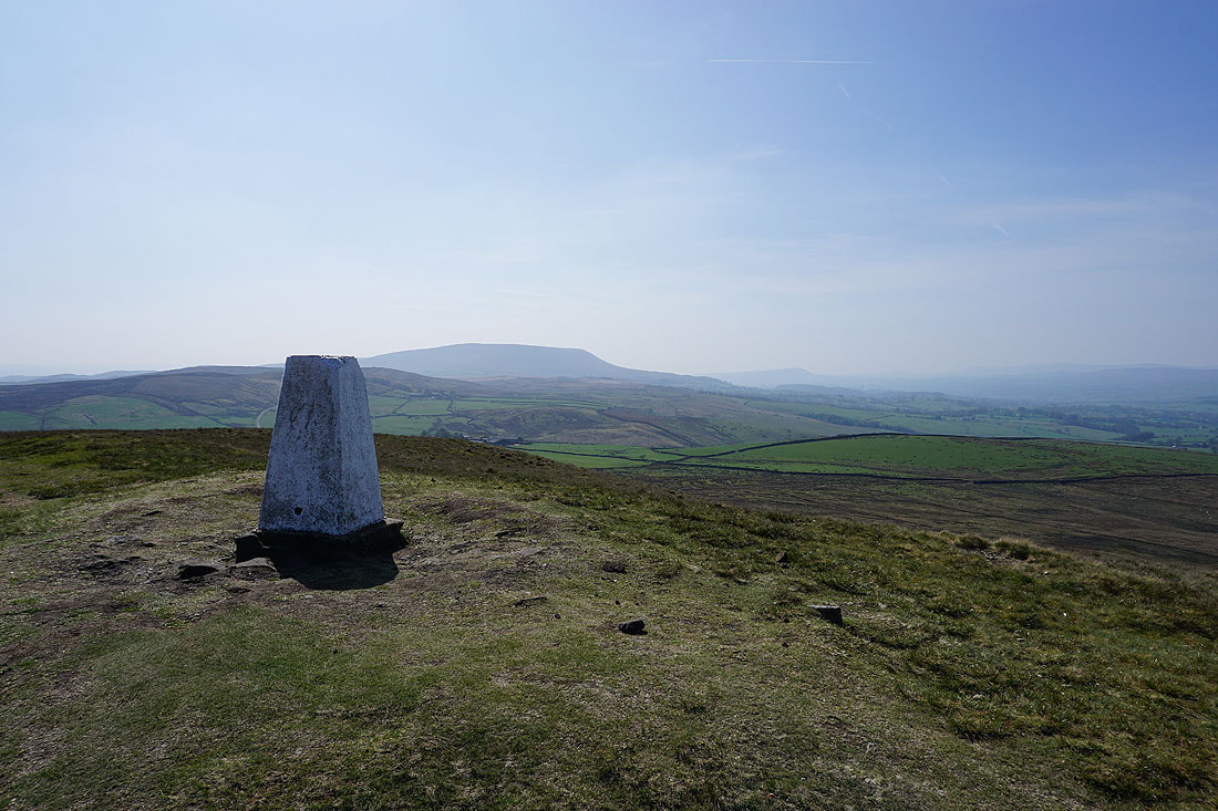
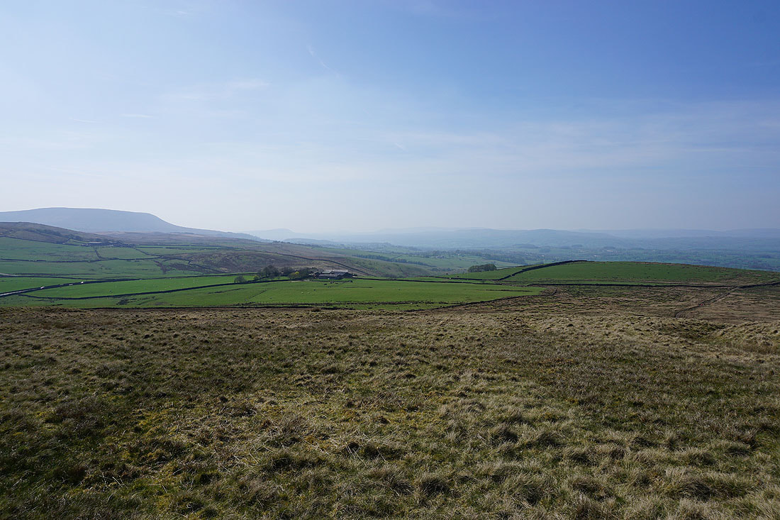
There's a great view of Pendle Hill from this vantage point
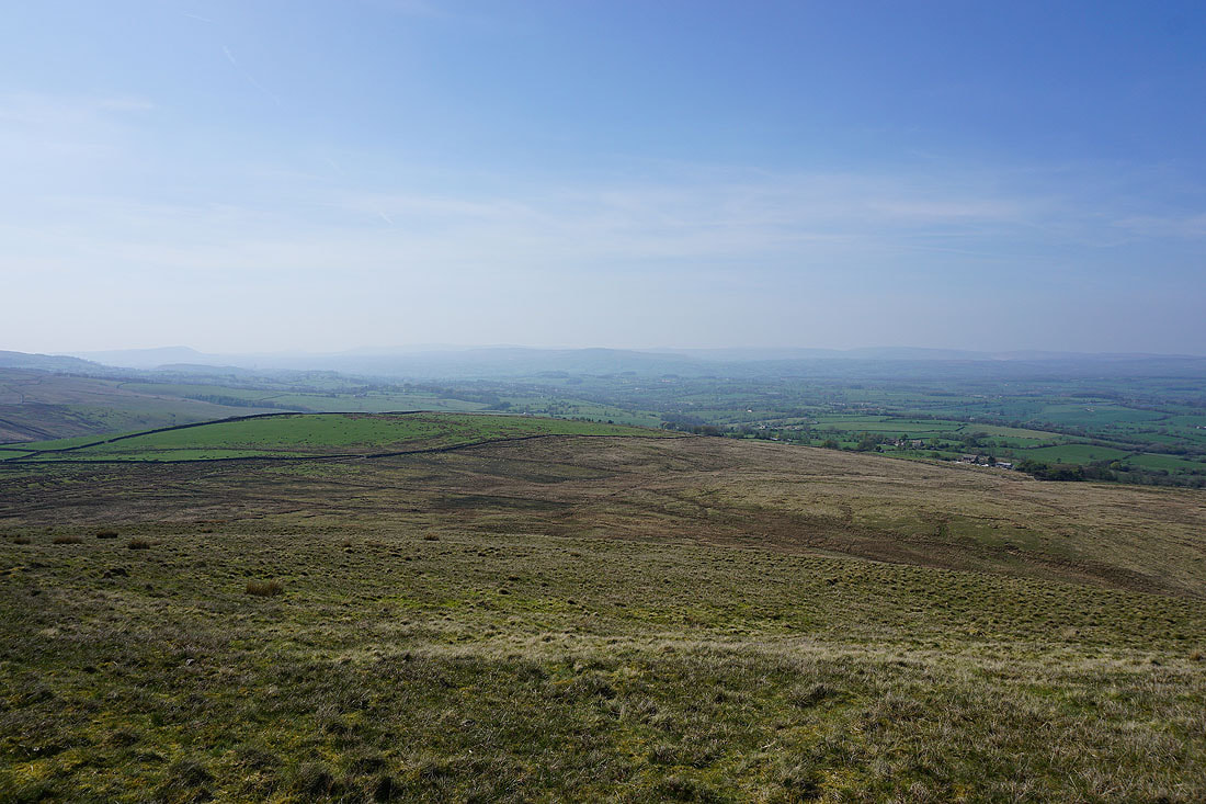
Looking across the Ribble Valley to the Forest of Bowland
Back onto the Pendle Way as I head for Weets House Farm
Pendle Hill, the Ribble Valley and the Forest of Bowland
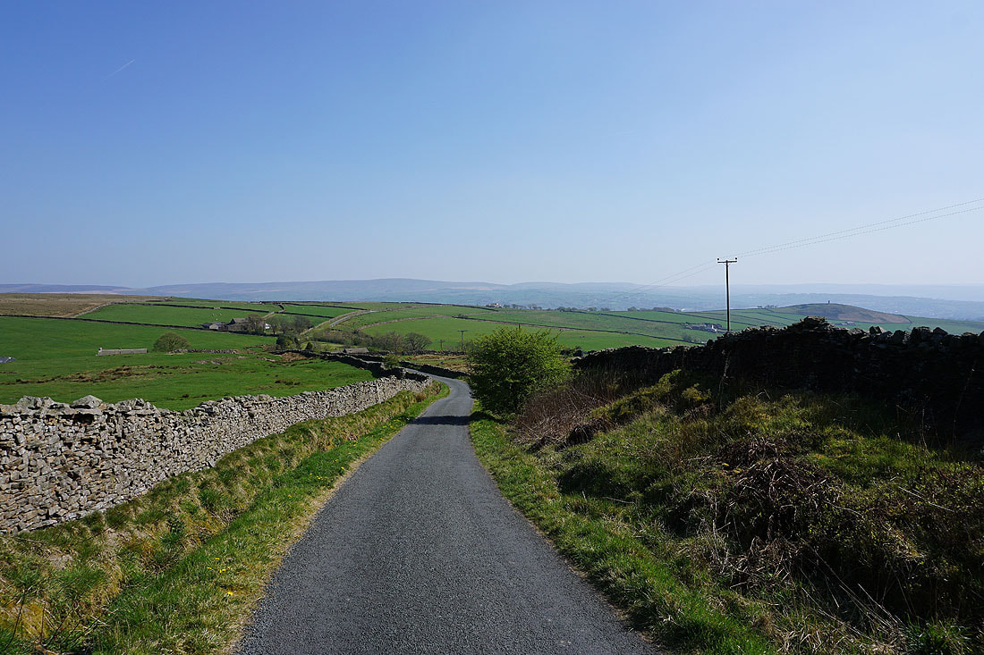
Boulsworth Hill and the South Pennines in the distance as I walk down Gisburn Old Road
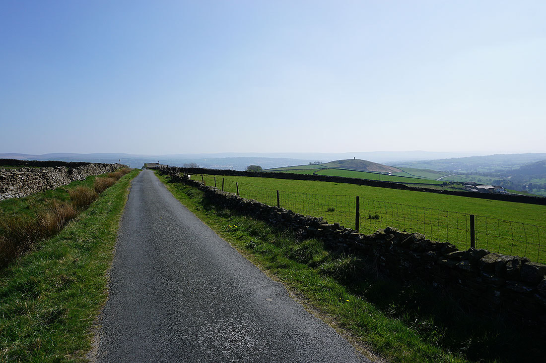
and Stansfield Tower on Blacko Hill to the right
Blacko Hill and Pendle Hill
Boulsworth Hill as I approach the junction with Standing Stone Lane, where I'll turn left
A glimpse of Lower Foulridge Reservoir through the trees as I follow the path from the Whitemoor Riding Centre down to Holly Bush Farm
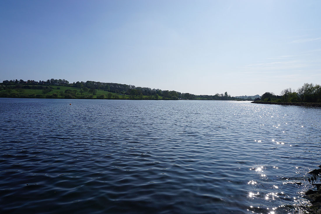
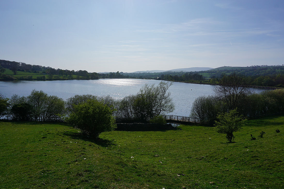
Slipper Hill Reservoir
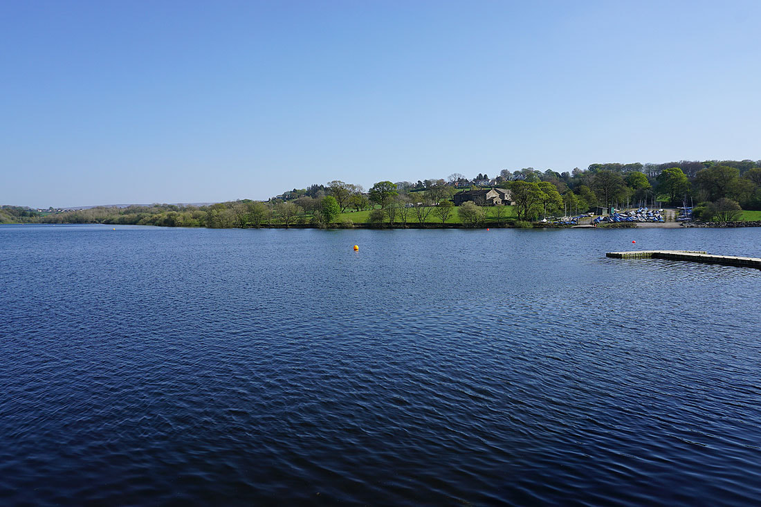
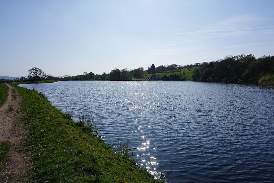
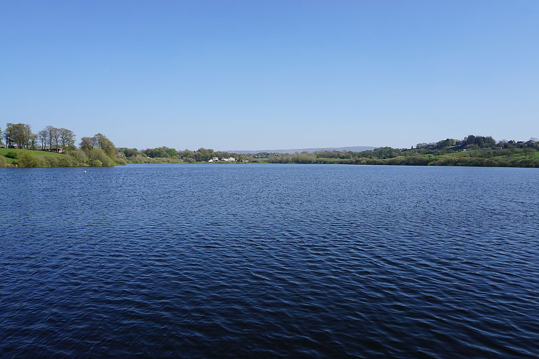
It's a lovely afternoon by Foulridge Lower Reservoir....
A short walk from the reservoir across a few fields and I'm back home