21st August 2011 - Kinder's northern edges
Walk Details
Distance walked: 9.4 miles
Total ascent: 1701 ft
OS map used: OL1 - The Peak District, Dark Peak area
Time taken: 6.5 hrs
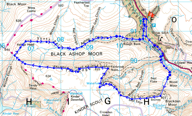
Route description: Birchen Clough Bridge, A57-Snake Inn-Fair Brook-Gate Side Clough-Seal Edge-Fairbrook Naze-The Edge-Ashop Head-Snake Path, Ashop Clough-Lady Clough-Birchen Clough Bridge, A57
I parked up at Birchin Clough Bridge and did a bit of road walking down past the Snake Inn and into the Snake Plantations to Fair Brook. I crossed Fair Brook and headed across and up Gate Side Clough to Seal Edge. I then walked along Seal Edge to Fairbrook Naze and then along The Edge to the path crossroads between William Clough and Ashop Clough. I then followed the Snake Path down Ashop Clough and a path through the Snake Plantations up Lady Clough back to the car park at Birchin Clough Bridge.
Route map
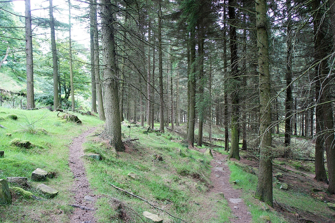
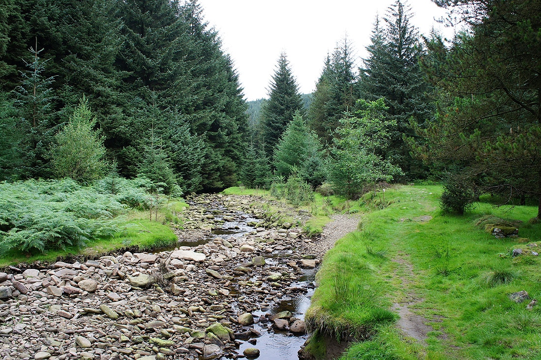
Walking through the Snake Plantations to Fair Brook
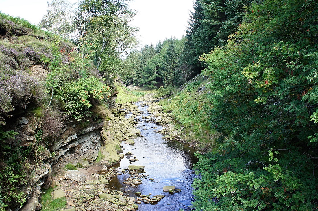
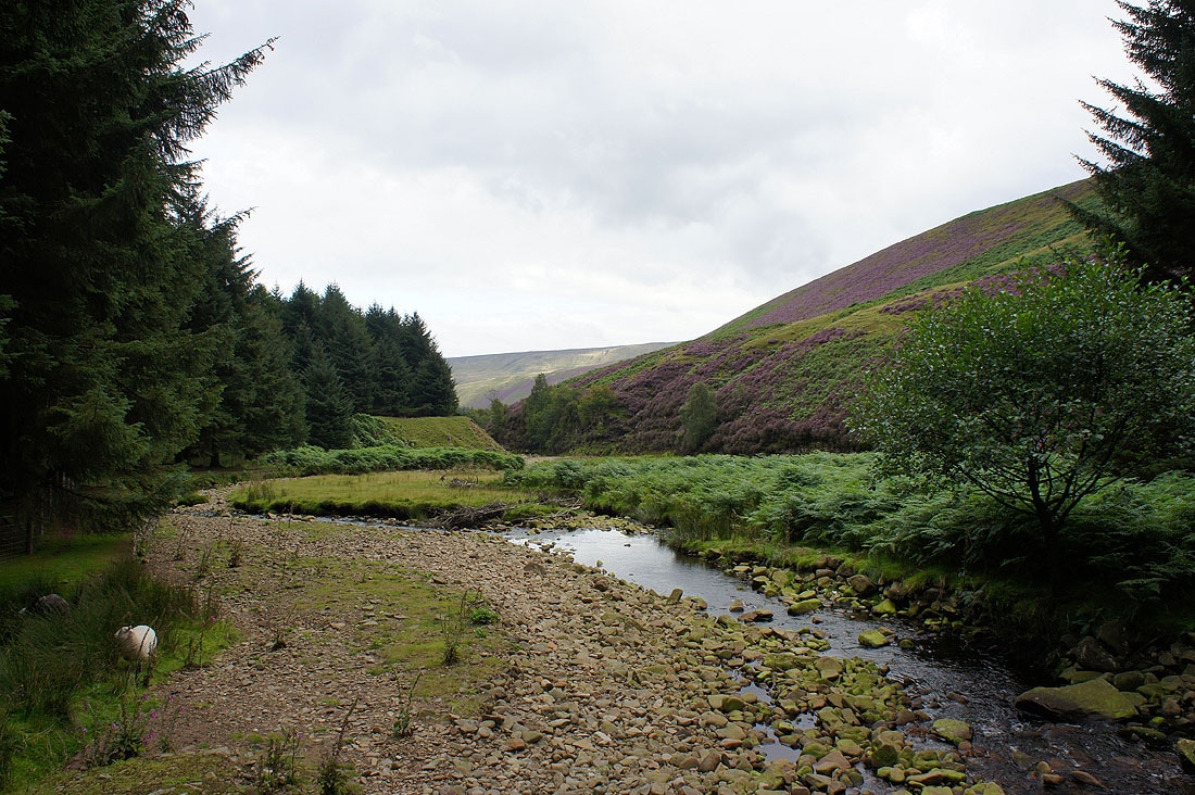
Crossing the River Ashop
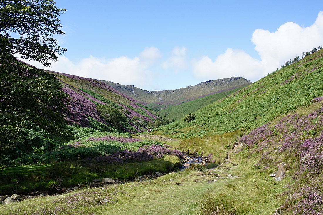
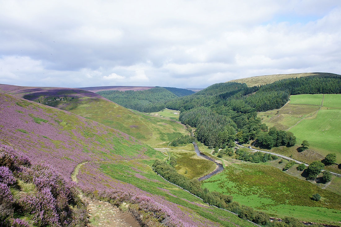
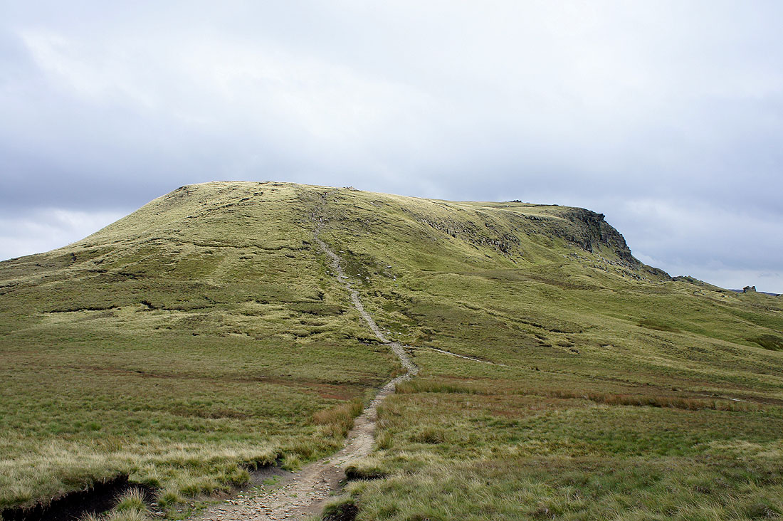
The view up Fair Brook to Fairbrook Naze
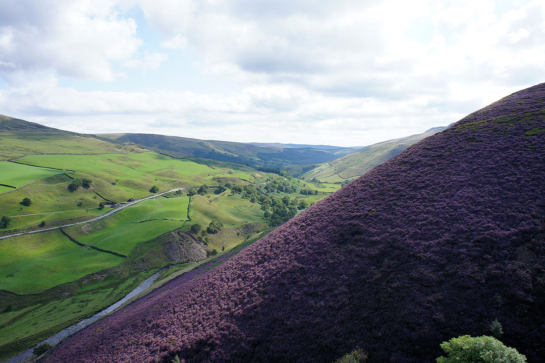
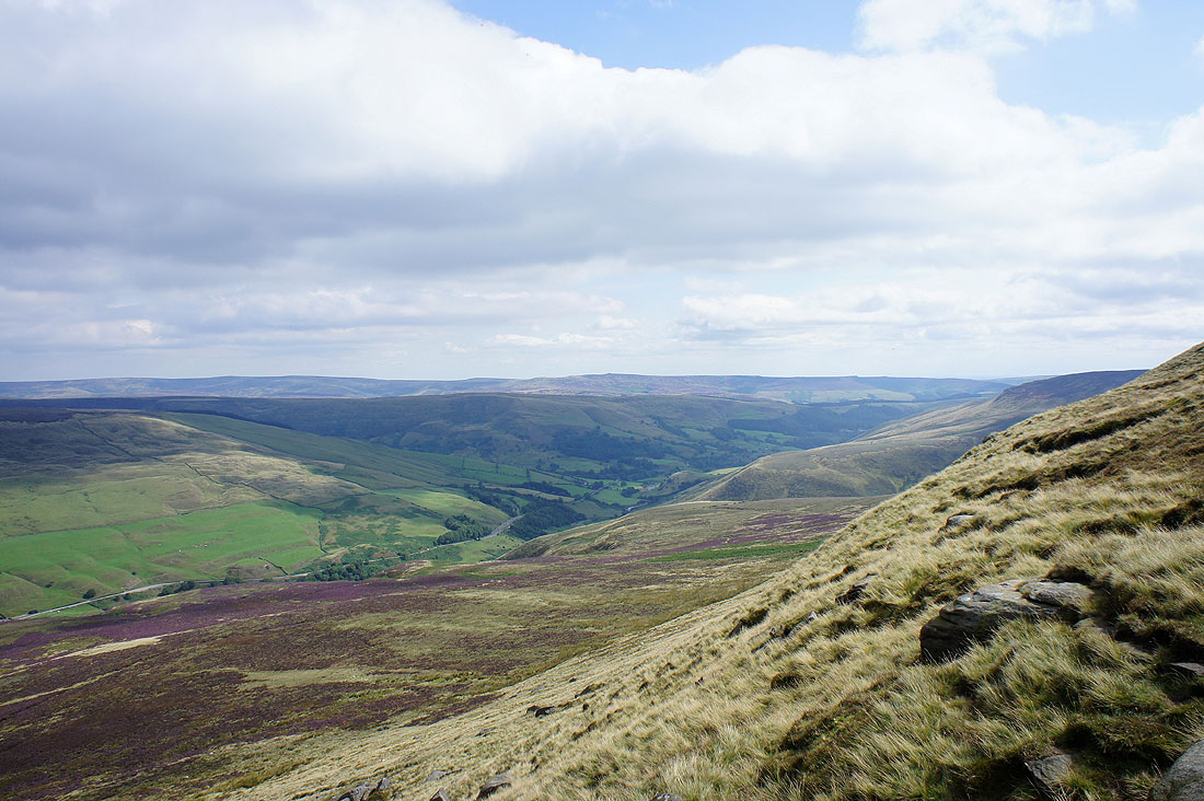
A view down the Woodlands Valley as I start the climb up Gate Side Clough..
..and the view up the valley
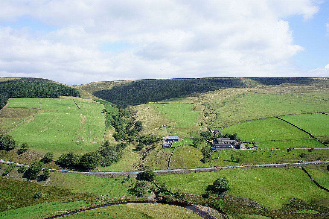
Oyster Clough and Upper House Farm
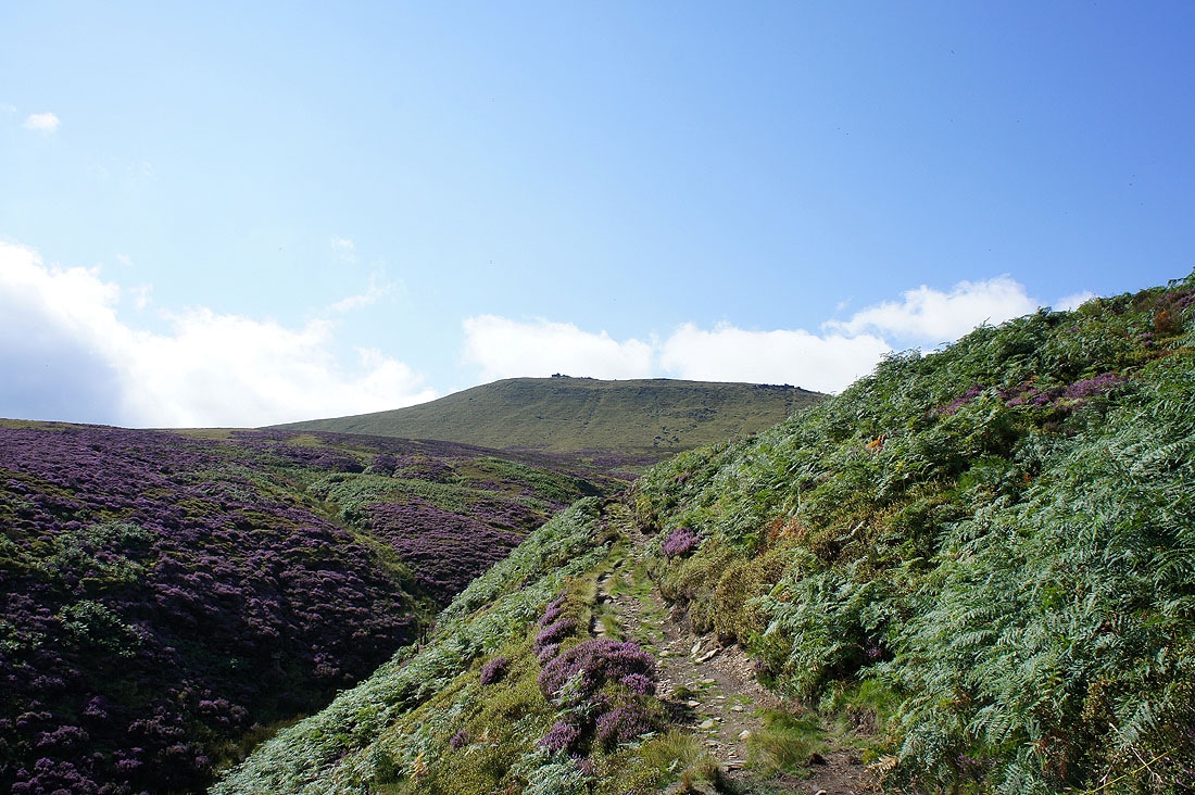
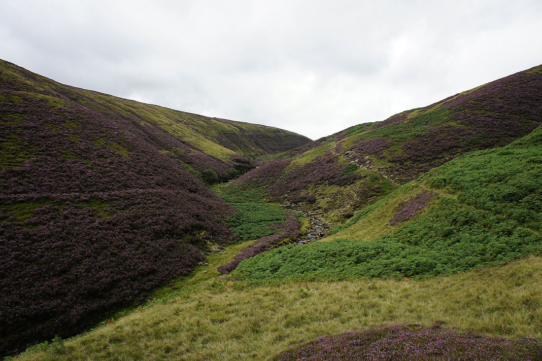
The view up the clough to Seal Edge and the Seal Stones
At the Seal Stones. Back Tor and Derwent Edge in the distance.
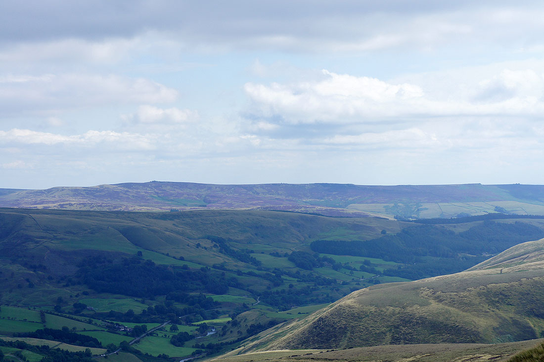
Zooming in
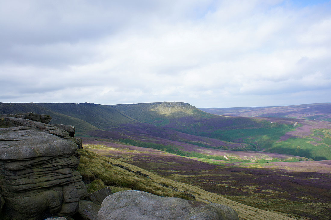
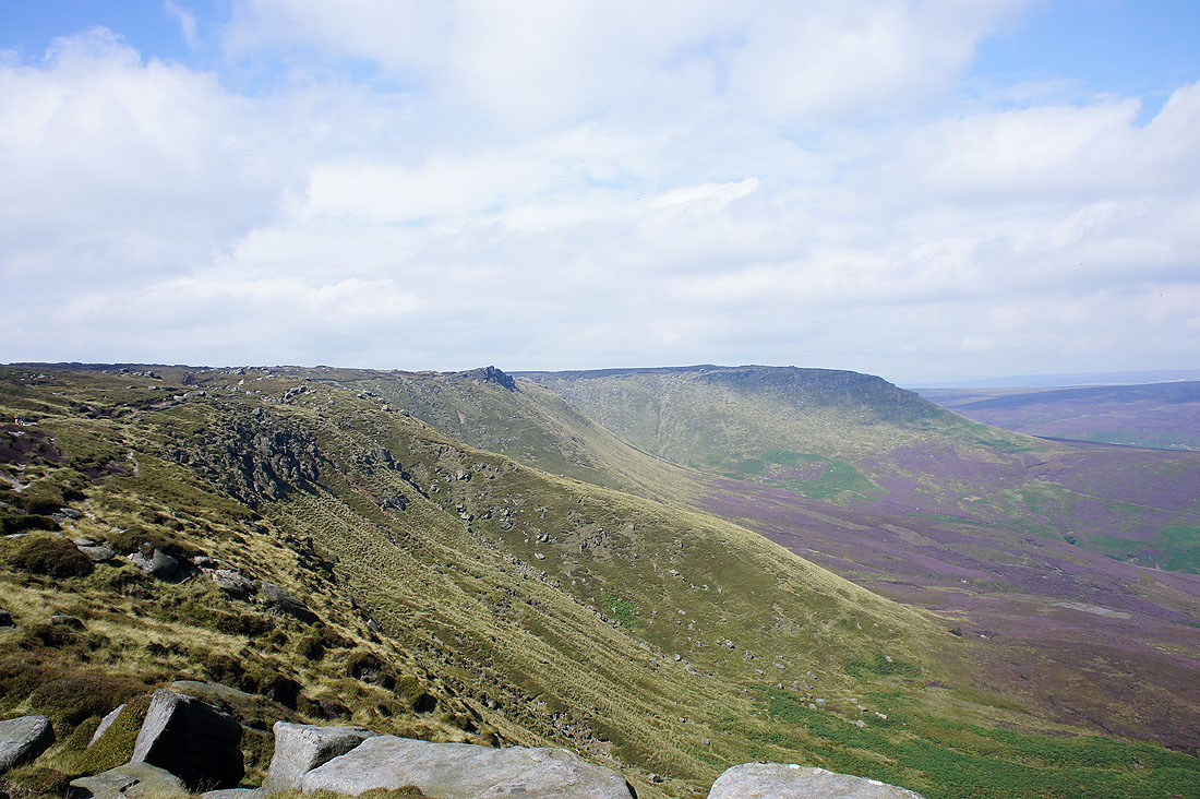
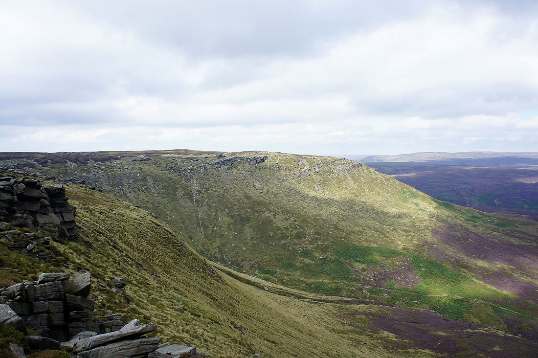
Looking across to Fairbrook Naze
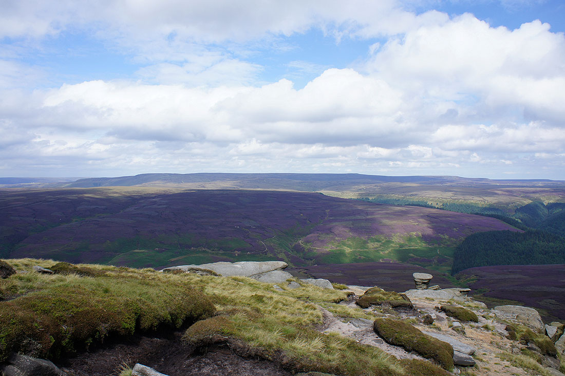
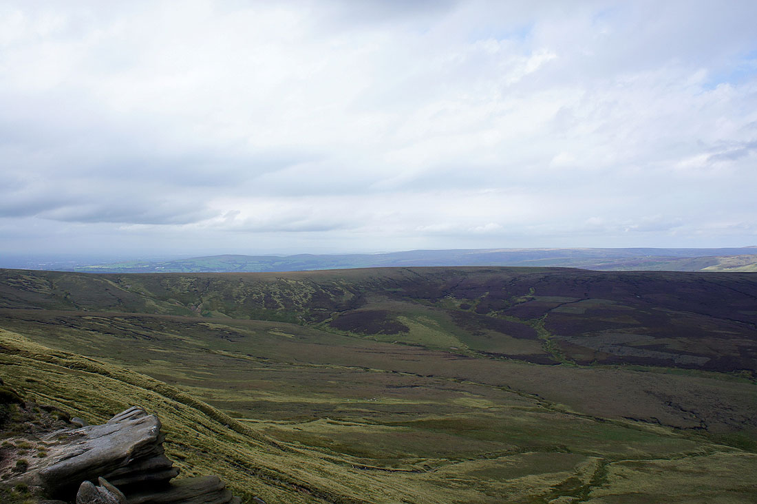
The view across the Woodlands Valley to Bleaklow
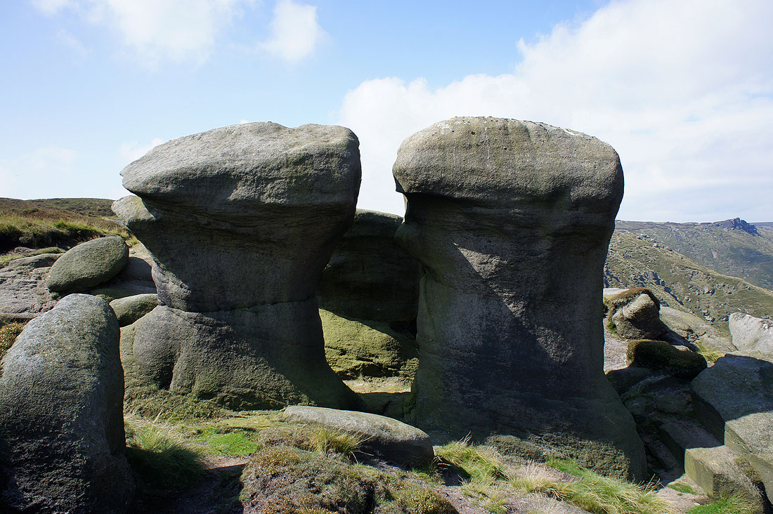
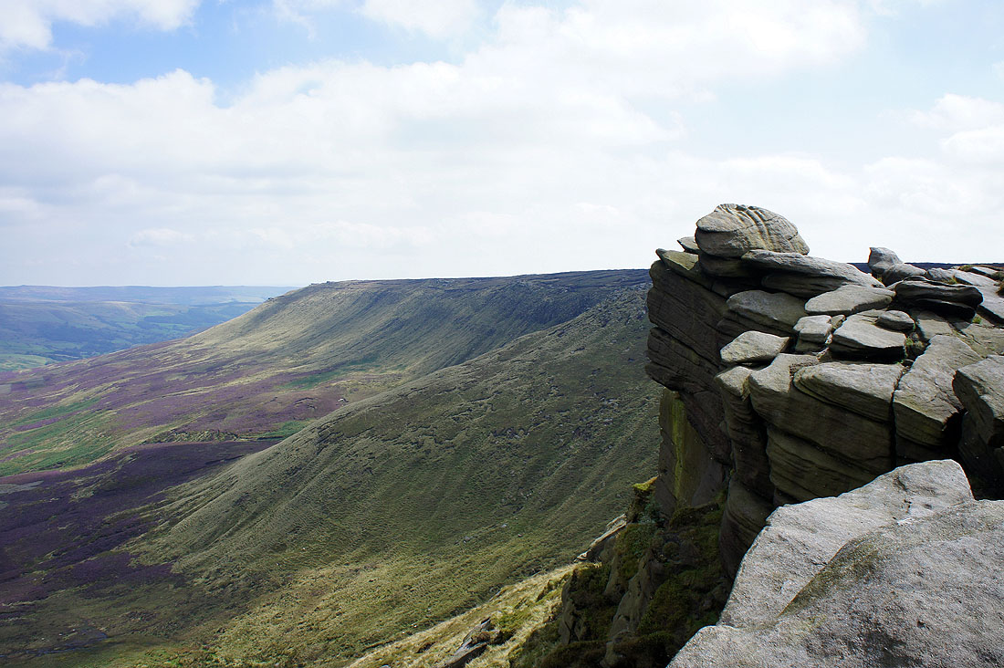
Eroded gritstone tors
Heading along Seal Edge. My next stop will be the prominent crag of the Chinese Wall.
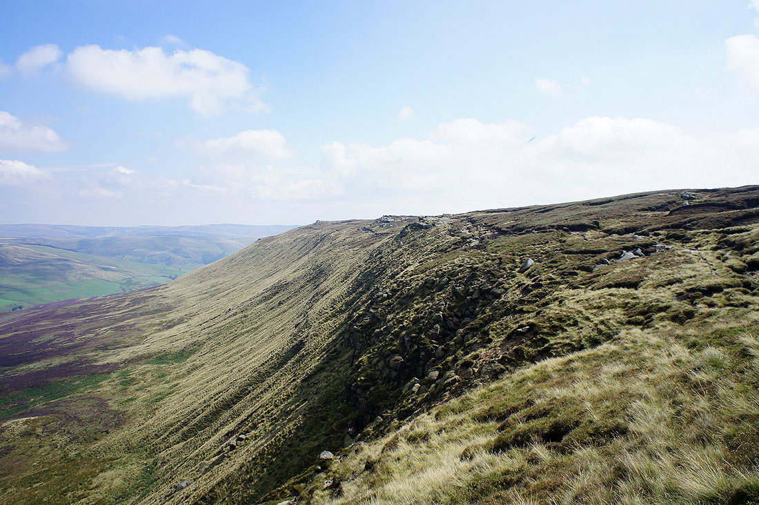
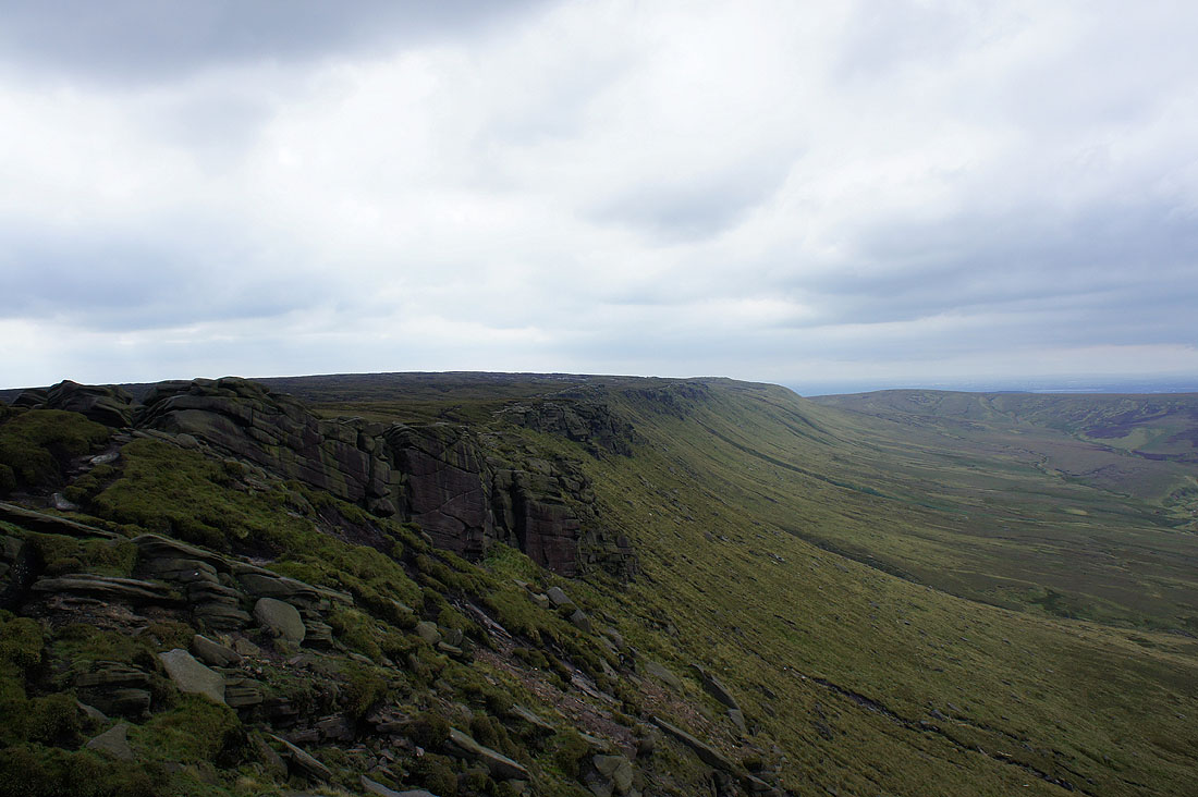
Looking back along Seal Edge
Fairbrook Naze from the Chinese Wall
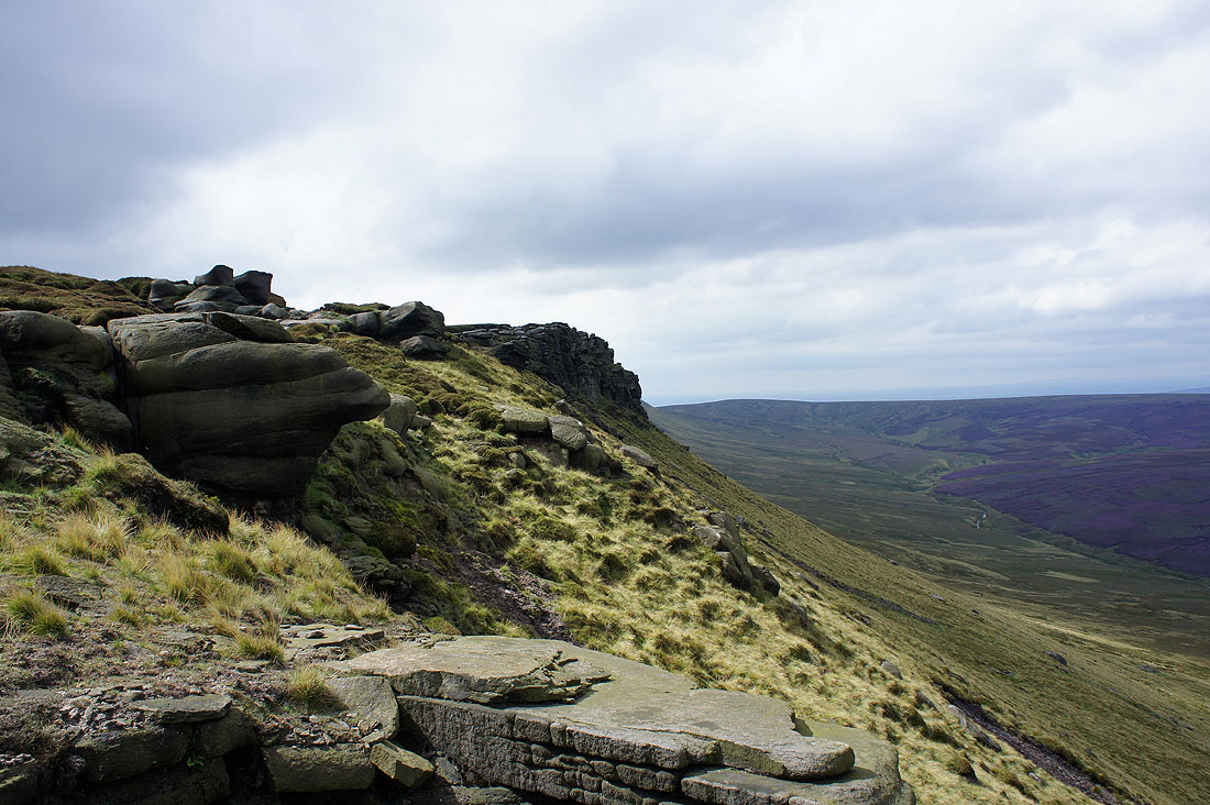
Seal Edge
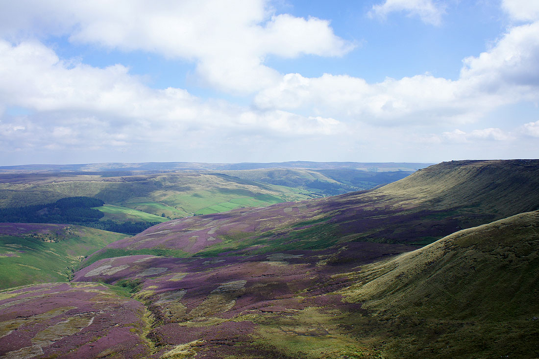
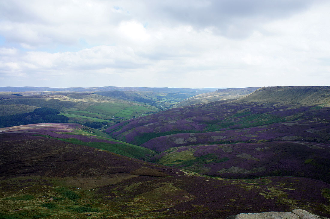
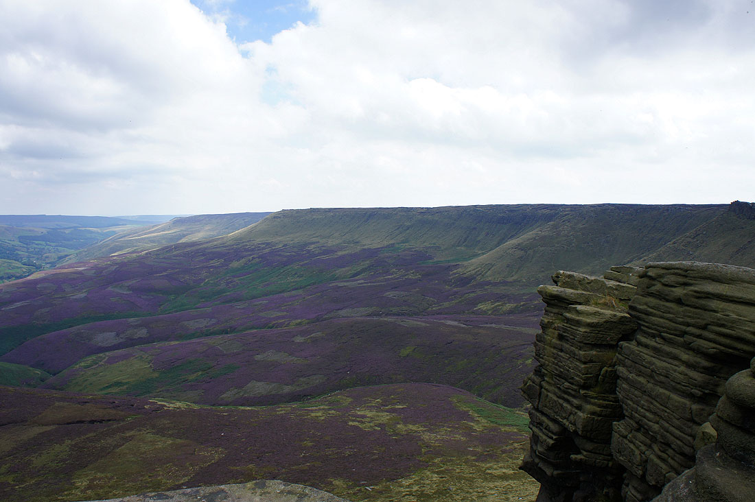
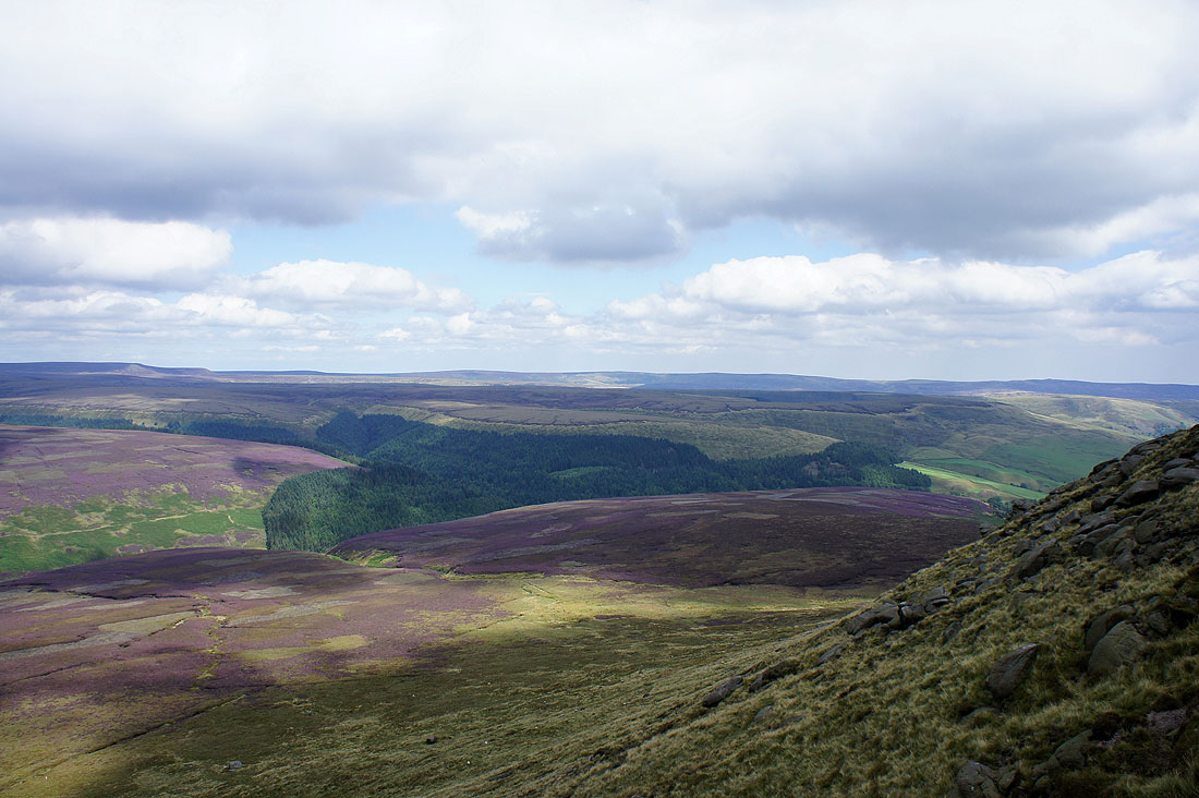
Looking down the Woodlands Valley towards a distant Margery Hill and Back Tor
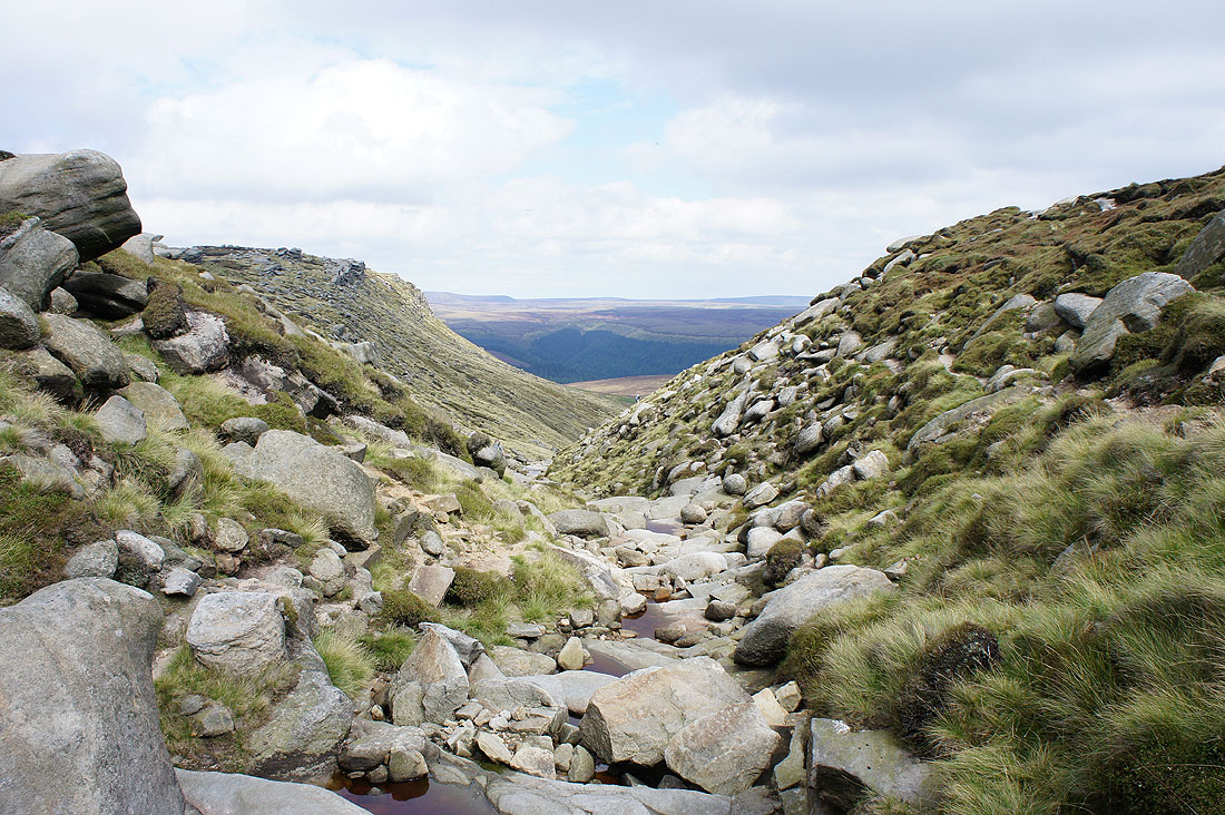
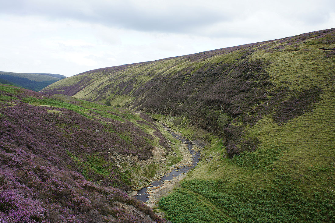
The ravine of Fair Brook
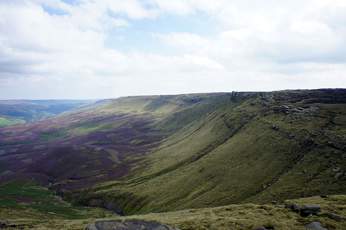
Seal Edge and..
..and the Woodlands Valley as I head to Fairbrook Naze
Bleaklow from Fairbrook Naze
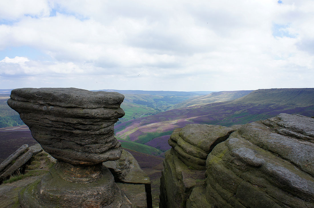
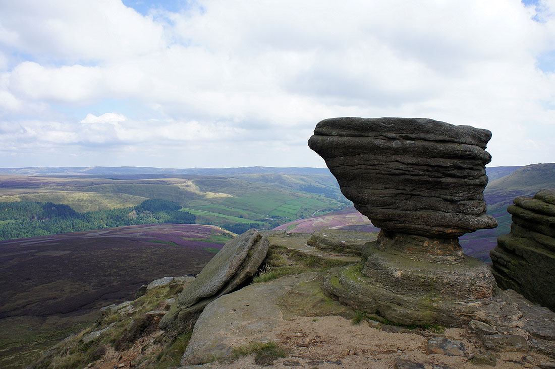
A couple of shots through the gritstone tors on Fairbrook Naze..
Seal Edge from Fairbrook Naze
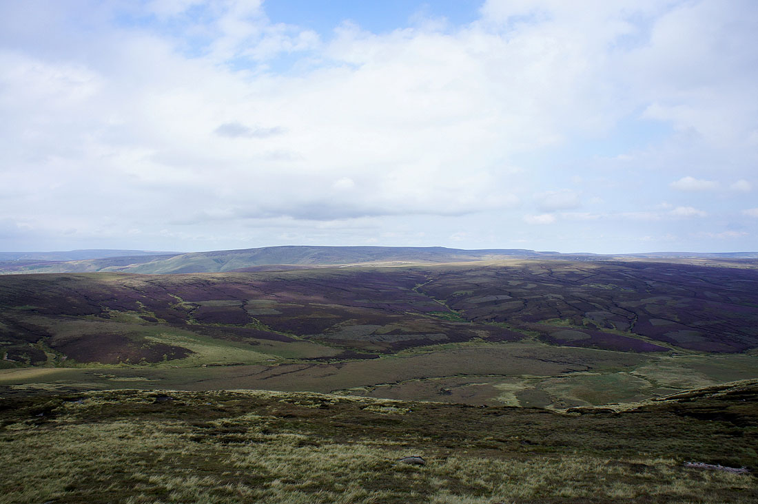
On The Edge now. The view across Black Ashop Moor and Featherbed Top to Bleaklow.
Starting the walk along The Edge
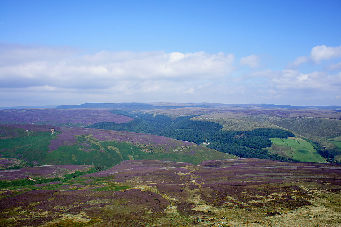
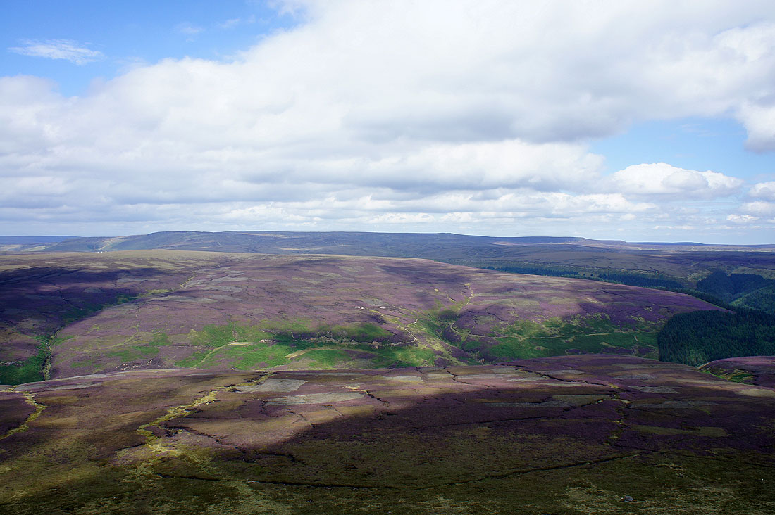
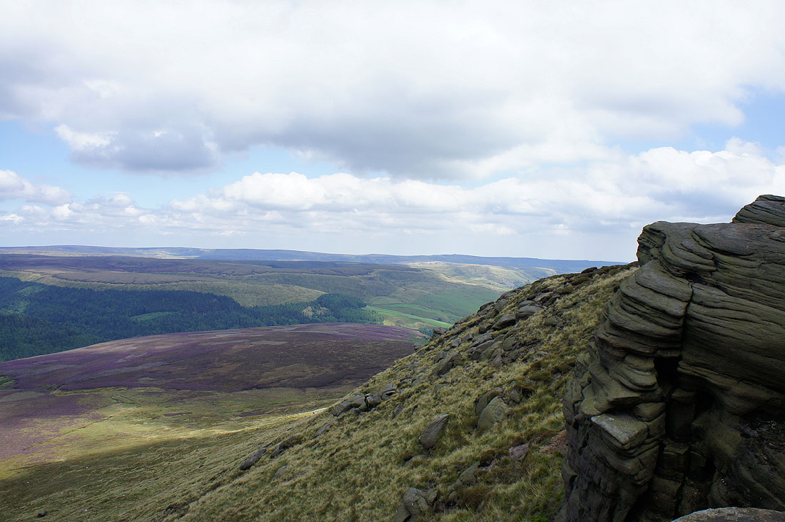
Views across to the moors around the Upper Derwent Valley from The Edge..
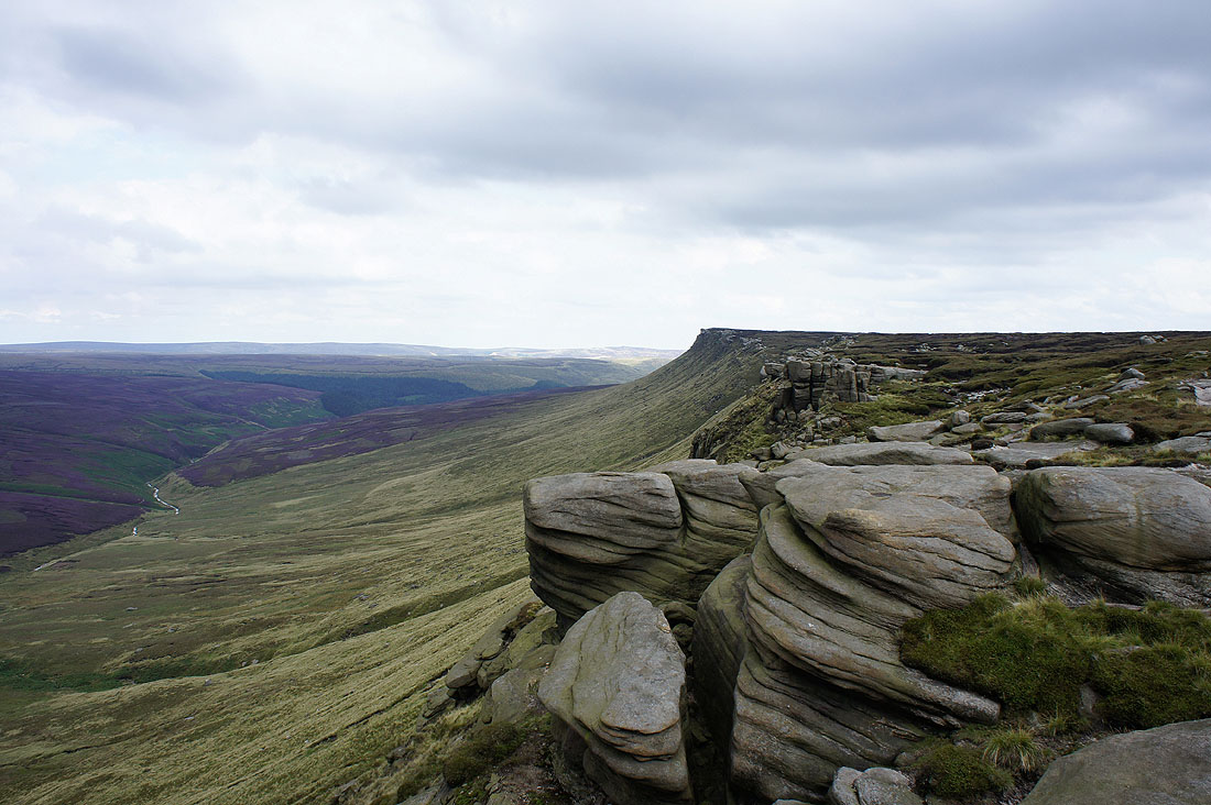
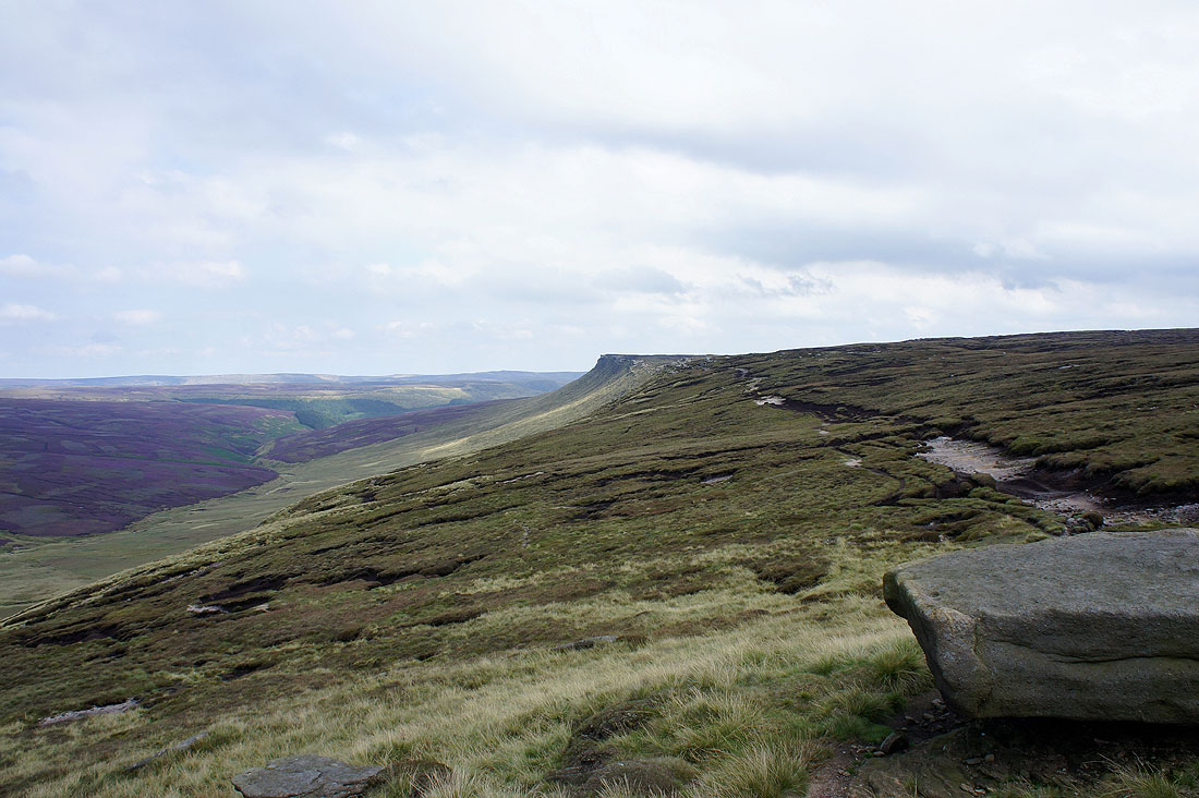
The Edge stretches out to the west
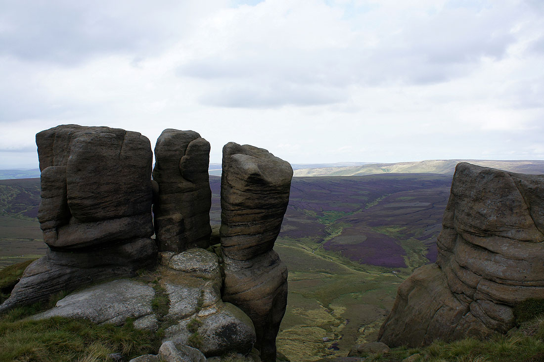
Past the Boxing Glove Stones
Looking back along The Edge
The Saddleworth moors in the distance
The Edge peters out
Looking across the Snake Pass to Bleaklow
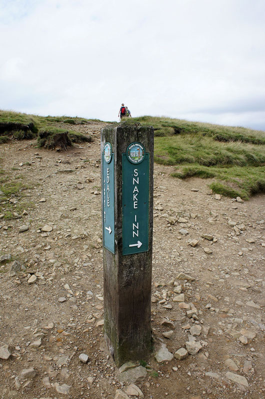
Turn right
The western end of the Kinder Scout plateau
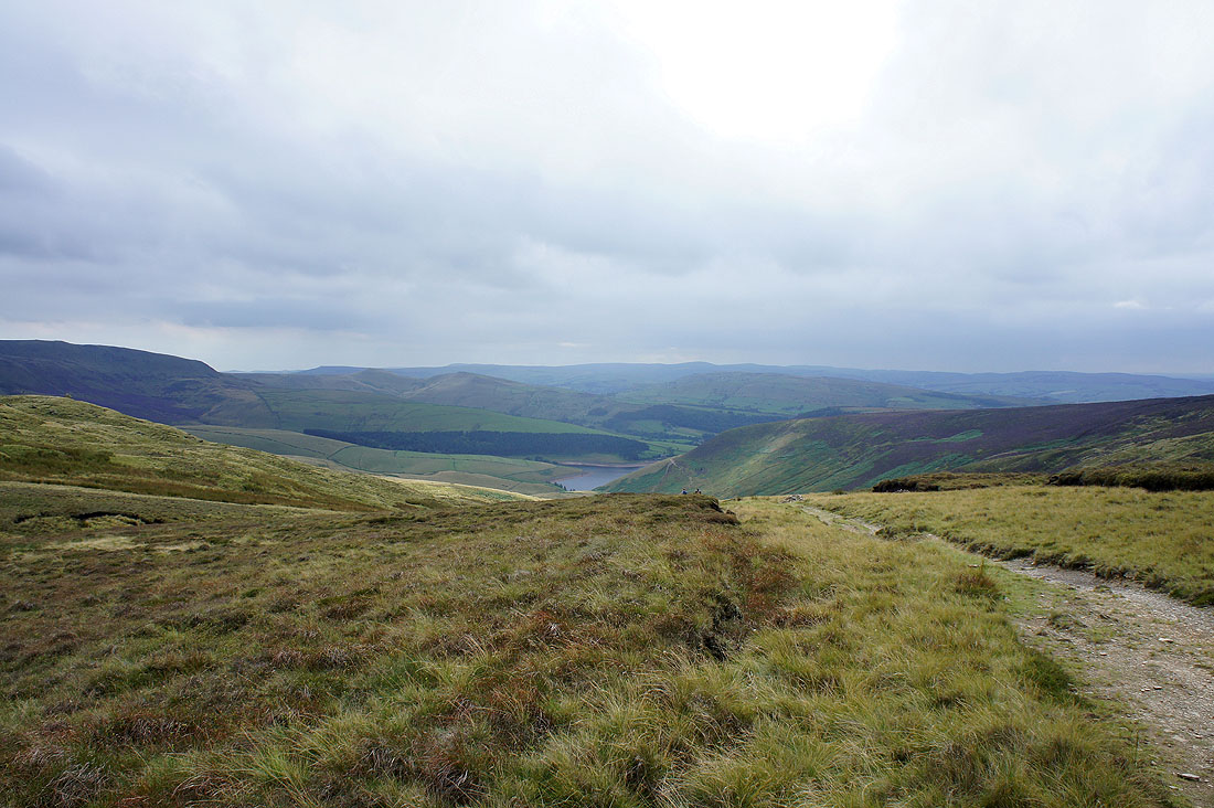
A brief look down William Clough to Kinder Reservoir
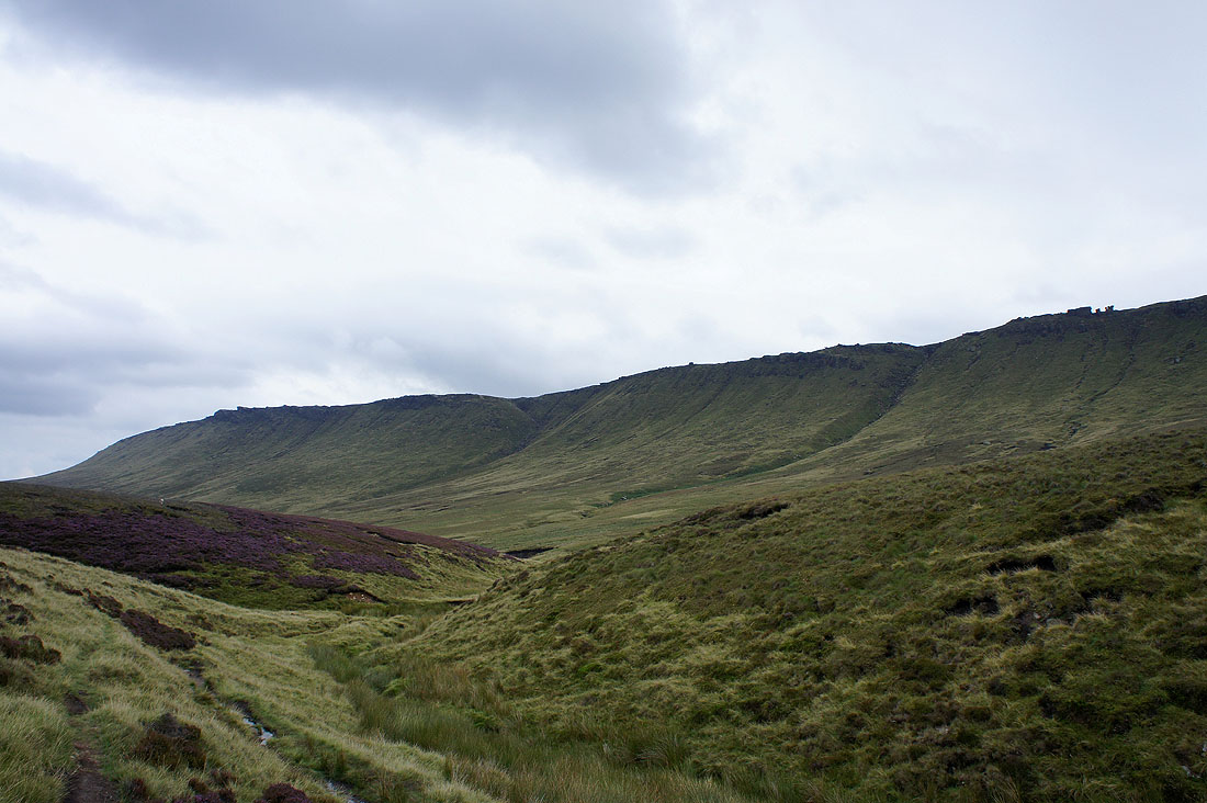
The Edge from Ashop Clough
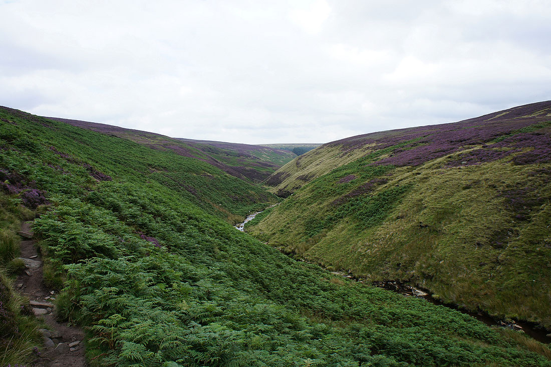
Ashop Clough from the Snake Path....
Lady Clough as I head back to Birchin Clough Bridge
