21st February 2021 - Weets Hill and Wheathead Height
Walk Details
Distance walked: 13.8 miles
Total ascent: 2312 ft
OS map used: OL21 - South Pennines
Time taken: 6.5 hrs
Route description: Foulridge-B6251-Reedymoor Lane-Sand Hall-Slipper Hill Reservoir-Barnoldswick Road-Hollin Hall-Blacko Hill-Pendle Way-Gisburn Old Road-Weets Hill-Pennine Bridleway-Stocks Lane-Middop Hall-Whytha Road-Rimington Moor-Wheathead Height-Wheathead Lane-Stang Top Road-Brown Hill-Bank Ends-Blacko Bar Road-Blacko-Brownley Park-Beverley Road-Burnt House Farm-Barnoldswick Road-Slipper Hill Reservoir-Sand Hall-Reedymoor Lane-Foulridge Lower Reservoir-B6251-Foulridge
With longer days comes the opportunity to do longer walks, though still starting from home obviously. Weets Hill and Wheathead Height is a combination that I did in November last year from nearby Blacko, when I was able to travel a short distance and walk locally. Starting from home added a few miles to it and certainly made it the longest walk that I've done so far this year. The forecast was for a mostly fine day but with a fair chance of showers turning up towards the end of the afternoon. For most of the time the skies were quite grey, with any sunshine hazy, but for an hour in the early afternoon there was bright sunshine and it felt mild and springlike.
From where I live in Foulridge I walked up to and then west along the B6251, then along Reedymoor Lane to Foulridge Lower Reservoir. I then walked up the track to Sand Hall, took the footpath on the left past Slipper Hill Reservoir and to Slipper Hill, where I crossed the lane and took the footpath opposite past cottages and up the hillside to Barnoldswick Road. After crossing the road I took the footpath opposite from Hollin Hall up onto Blacko Hill and then north to join the Pendle Way to Gisburn Old Road. I then walked up Gisburn Old Road to its top at Weets House Farm, and from there I took the path to the top of Weets Hill. After a stop for a break and to take in the view, I returned to the top of Gisburn Old Road and took the Pennine Bridleway and followed it north until I reached Stocks Lane, which took me west and across the A682 to Middop Hall. From Middop Hall I then walked west along Whytha Road and past Whytha Farm, before turning left and taking the track uphill past Higher Gills Farm to reach the footpath up onto Rimington Moor, where I found a spot to stop for lunch. On Rimington Moor I took the footpath signposted for Jackson's House and followed it south up onto the top of Rimington Moor and then south to Wheathead Height, where I picked up a track and followed it down to Wheathead Lane. I then walked west up Wheathead Lane and south along Stang Top Road before taking a track on the left onto Brown Hill, which I left for a footpath down to Bank Ends and to Blacko Bar Road. After walking up Blacko Bar Road I crossed the A682 and took the footpath past Brownley Park and towards Blacko Hill Side Farm before taking the footpath down its access track to Beverley Road. I then turned left, briefly walked east along the road, and took the footpath east round Burnt House Farm and to Barnoldswick Road. From here I retraced my outbound route to return home but with a walk by Foulridge Lower Reservoir.
Route map
© Crown copyright. All rights reserved. License number PU 100034184.
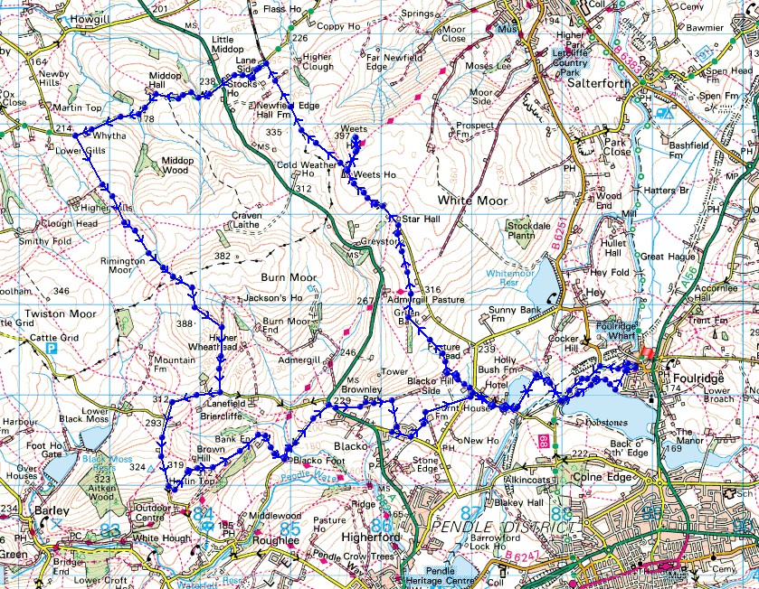
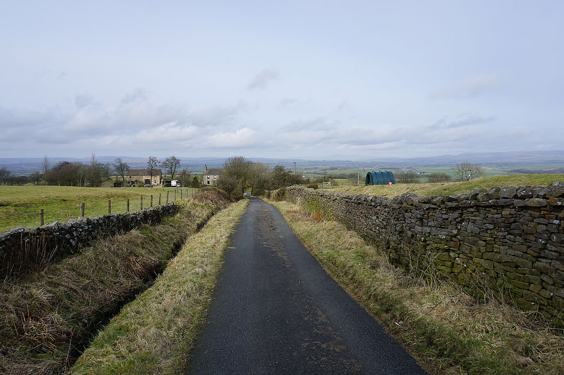
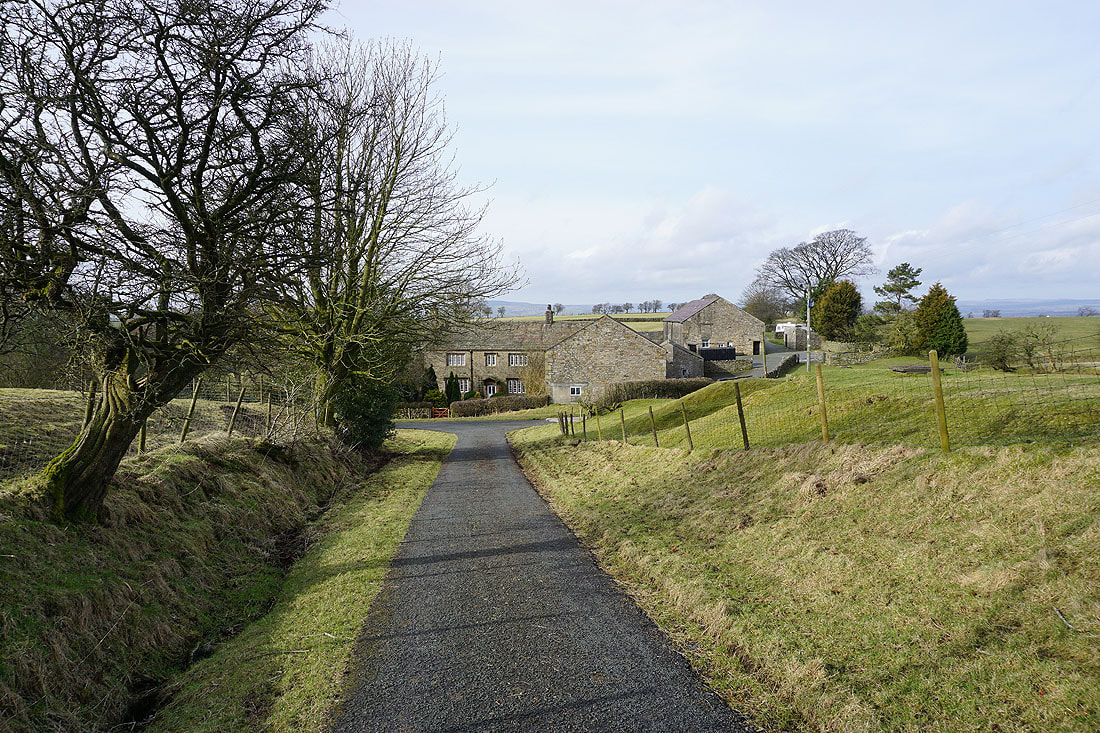
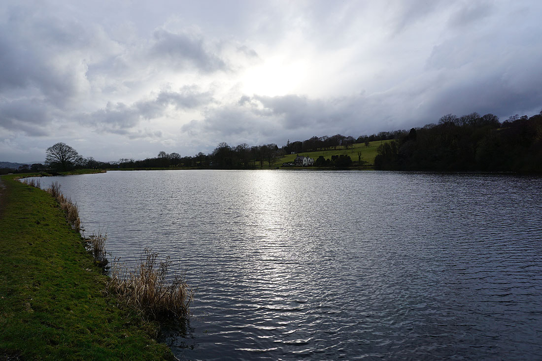
Leaving Foulridge on the B6251
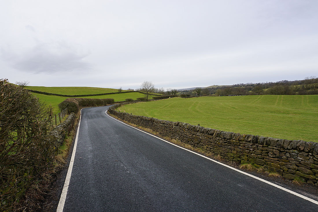
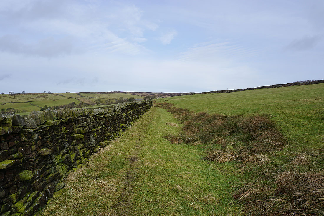
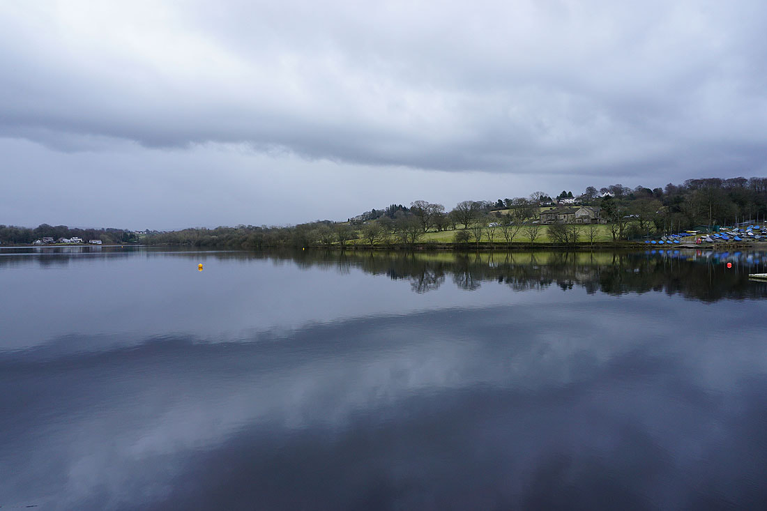
Making my way round Slipper Hill Reservoir..
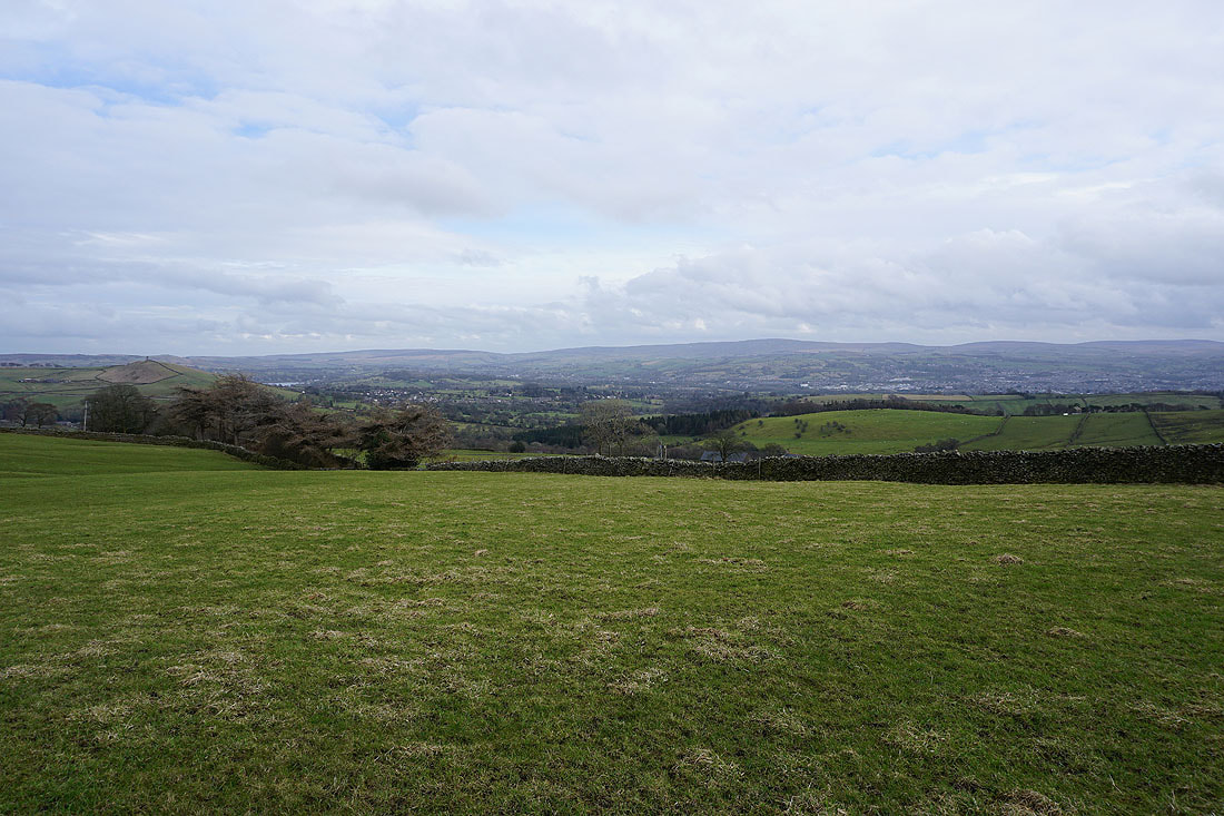
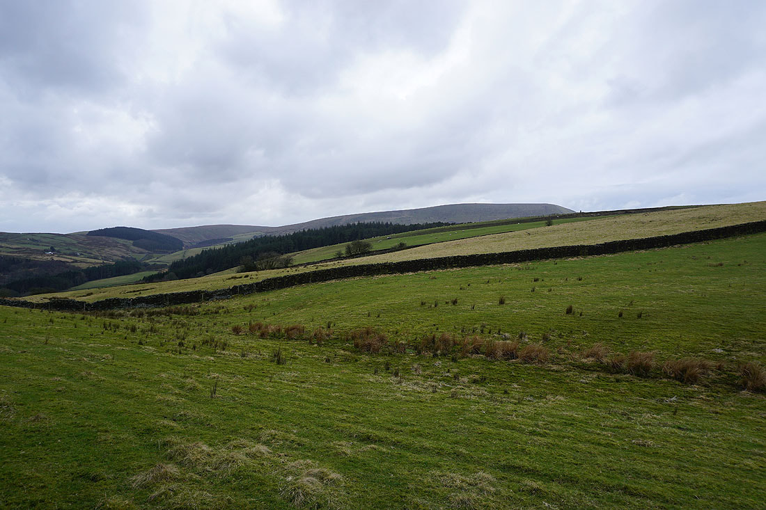
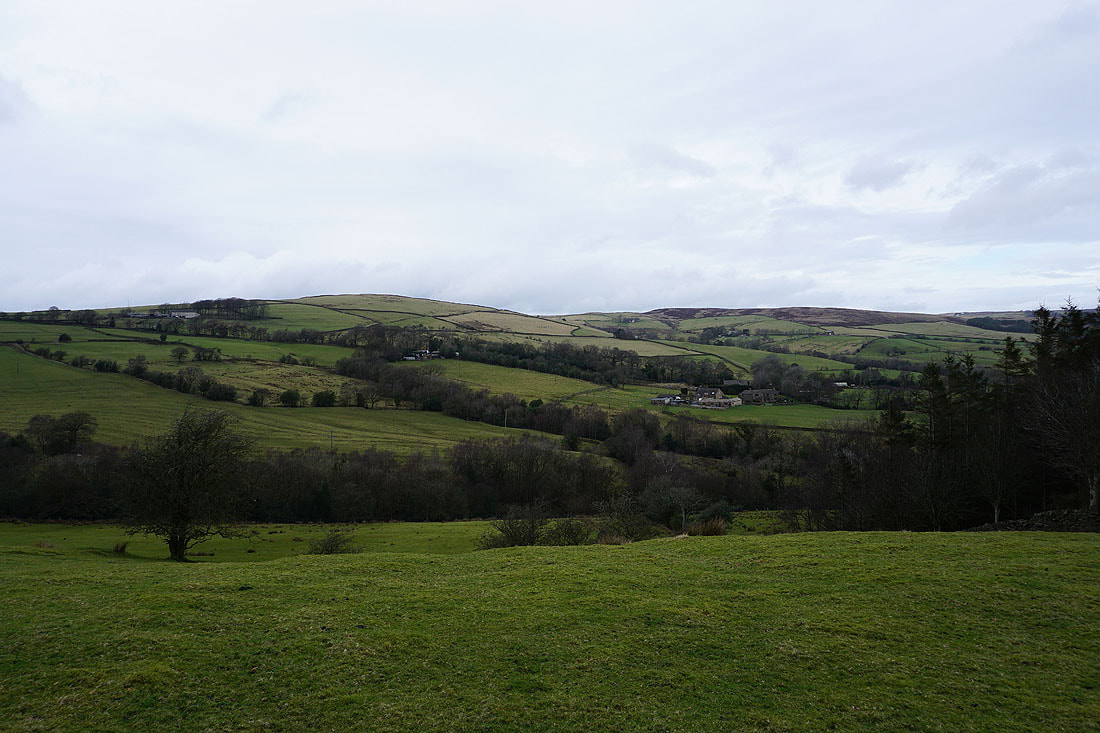
Looking back to Boulsworth Hill in the distance from the path up to Barnoldswick Road
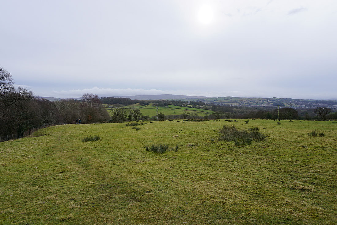
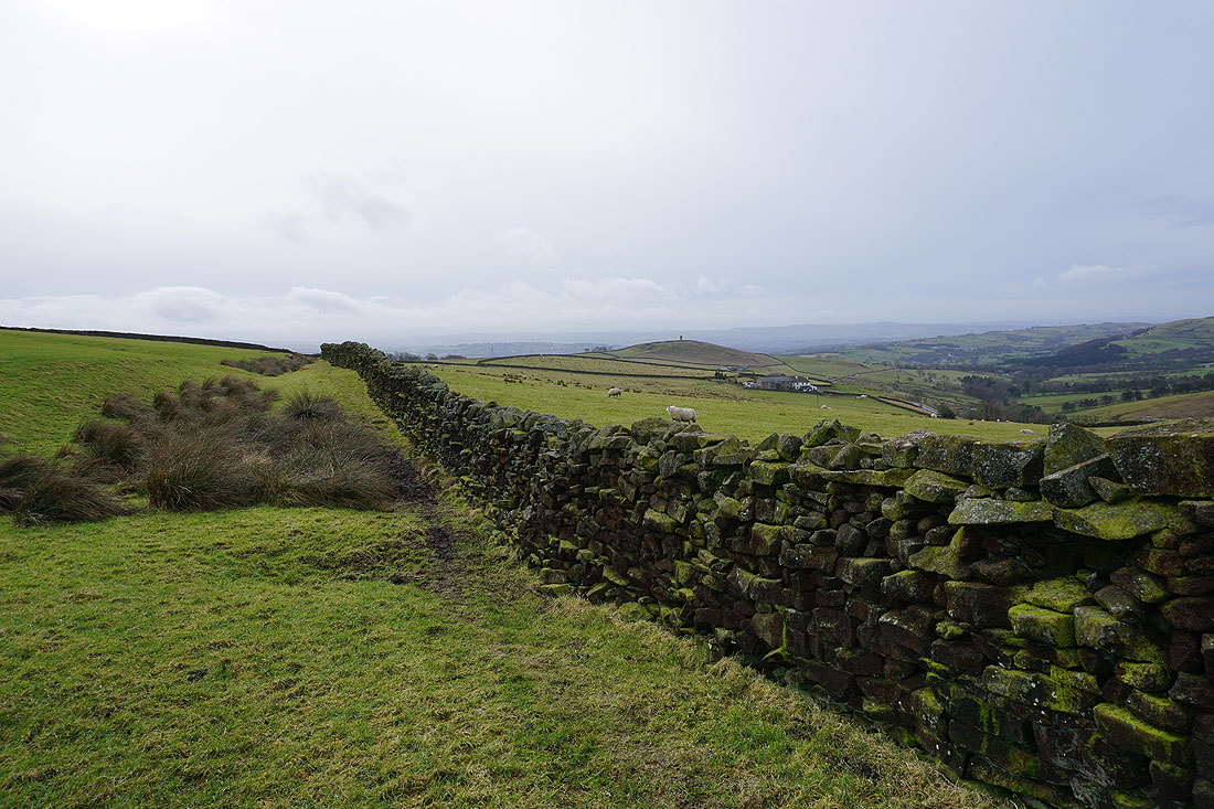
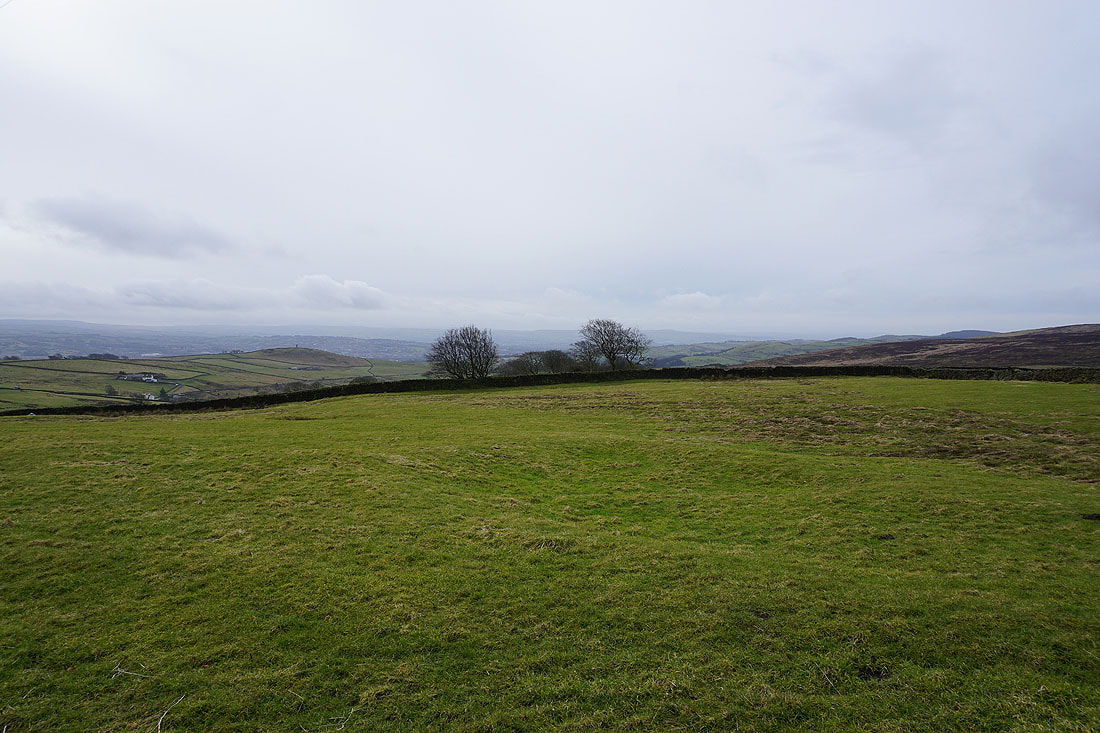
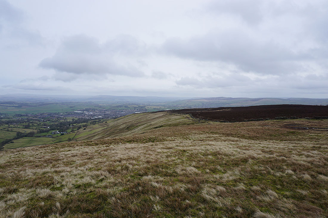
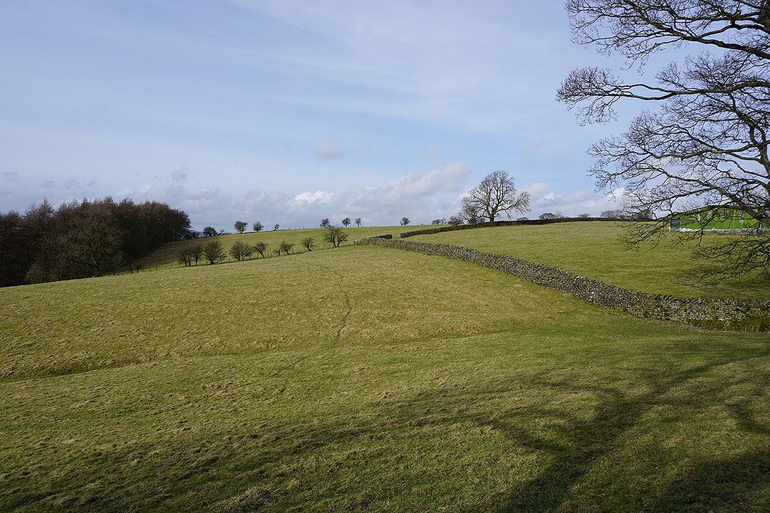
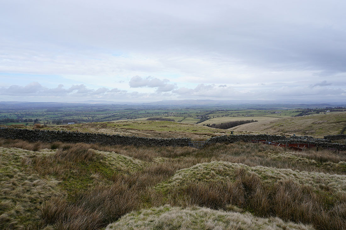
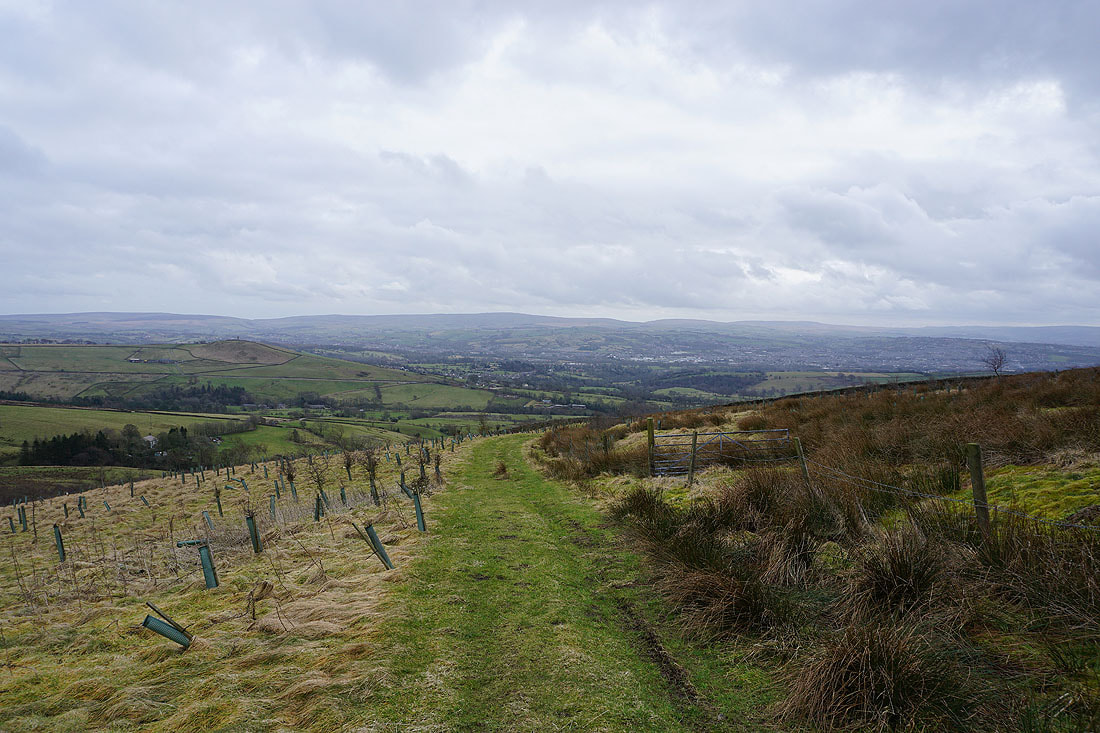
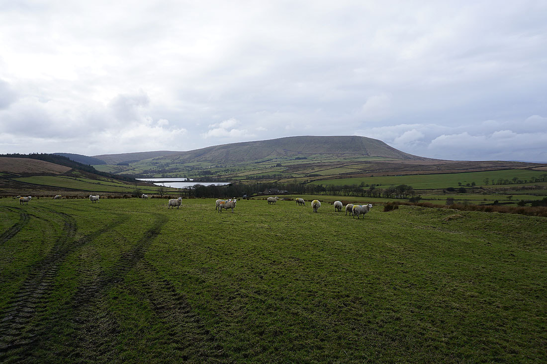
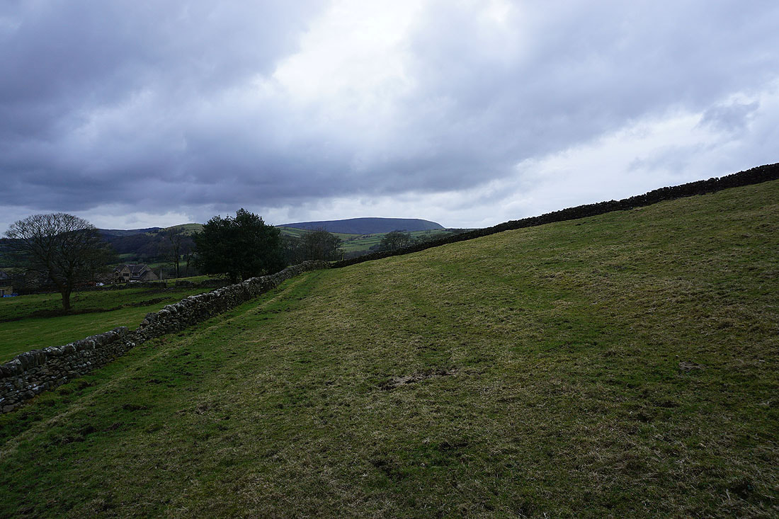
Heading up onto Blacko Hill and Foulridge Lower Reservoir can now be seen when I turn around
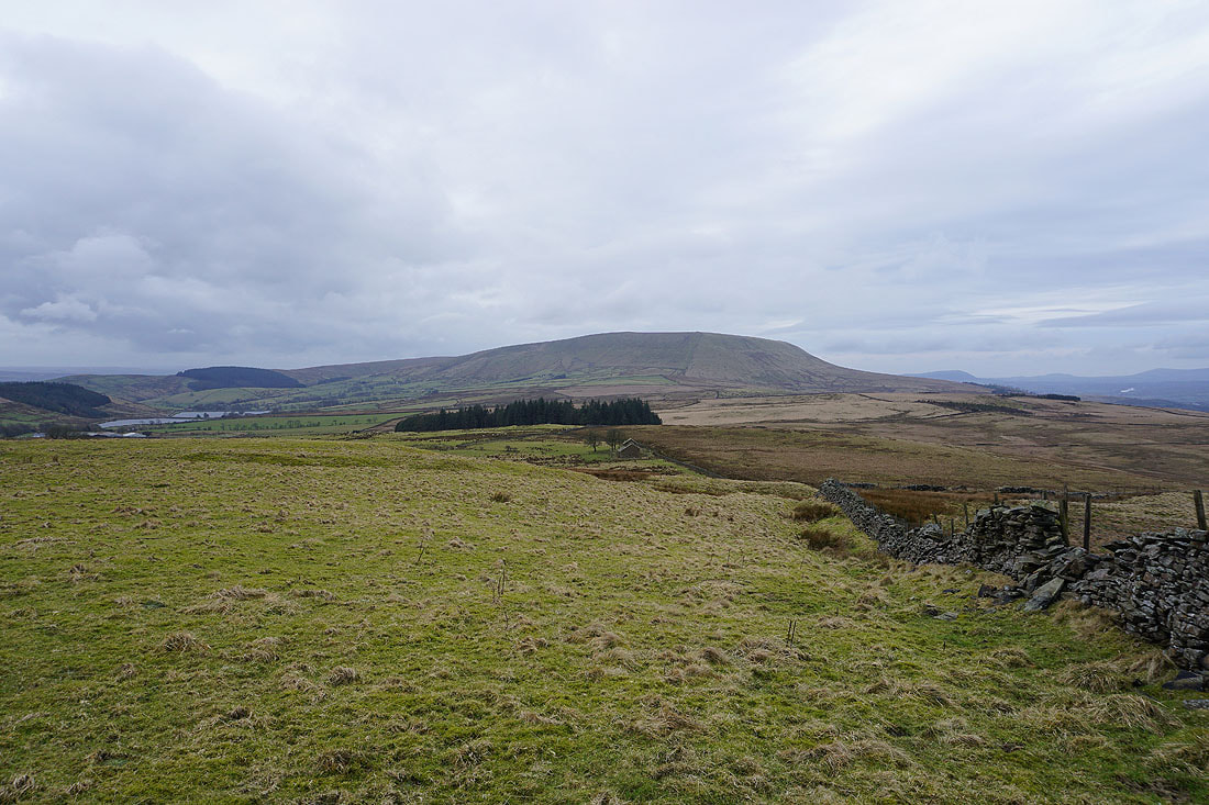
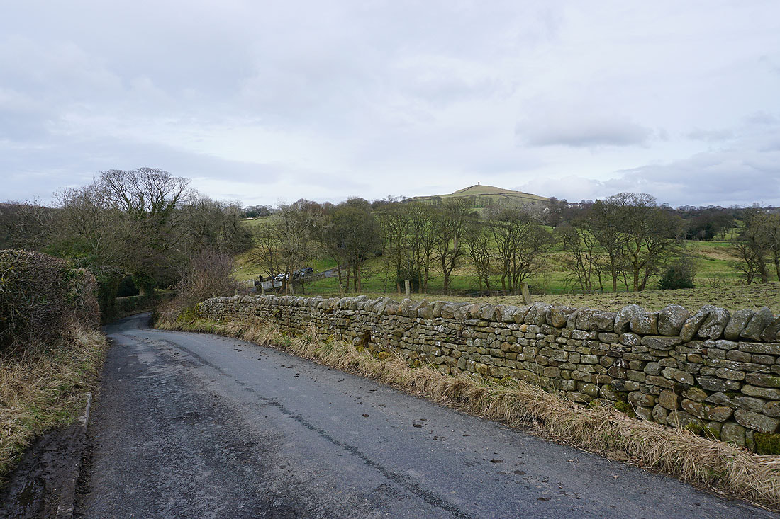
Blacko Hill with Stansfield Tower atop it

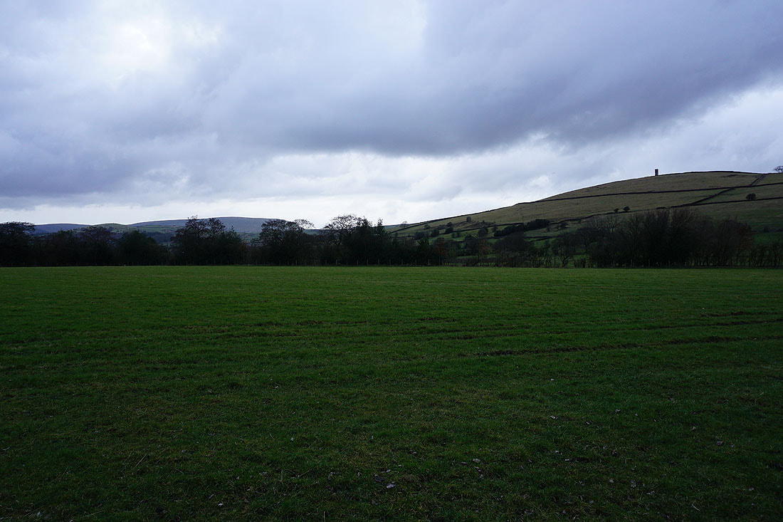
Pendle Hill and Burn Moor
Blacko Hill, the Forest of Pendle and Pendle Hill..
..as I follow the Pendle Way north
Looking back to Blacko Hill
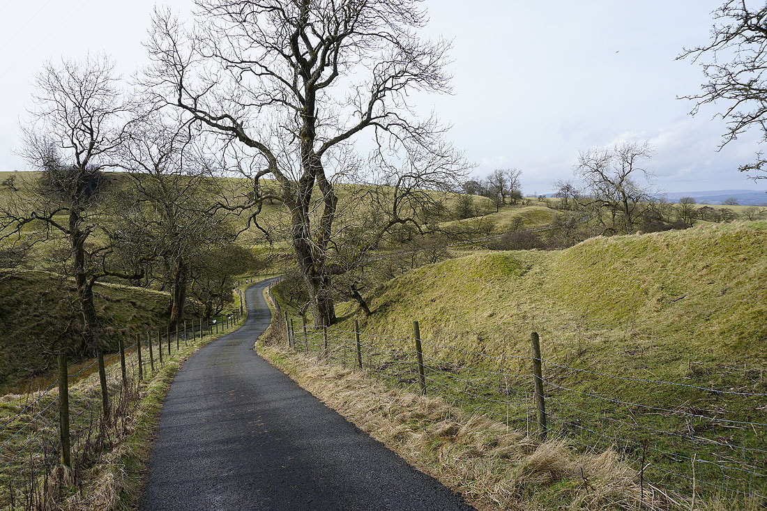
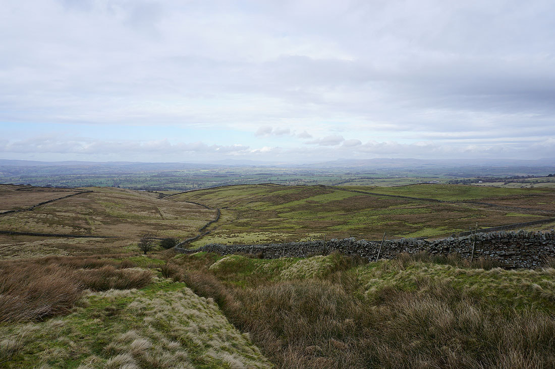
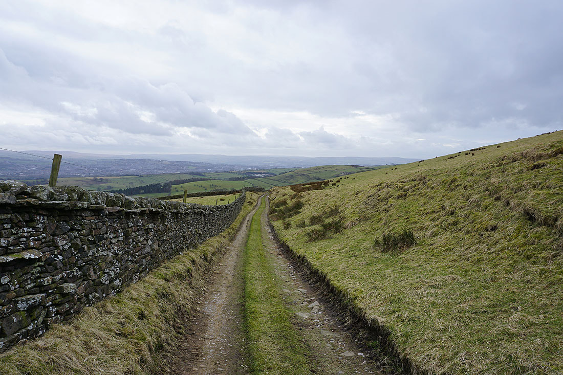
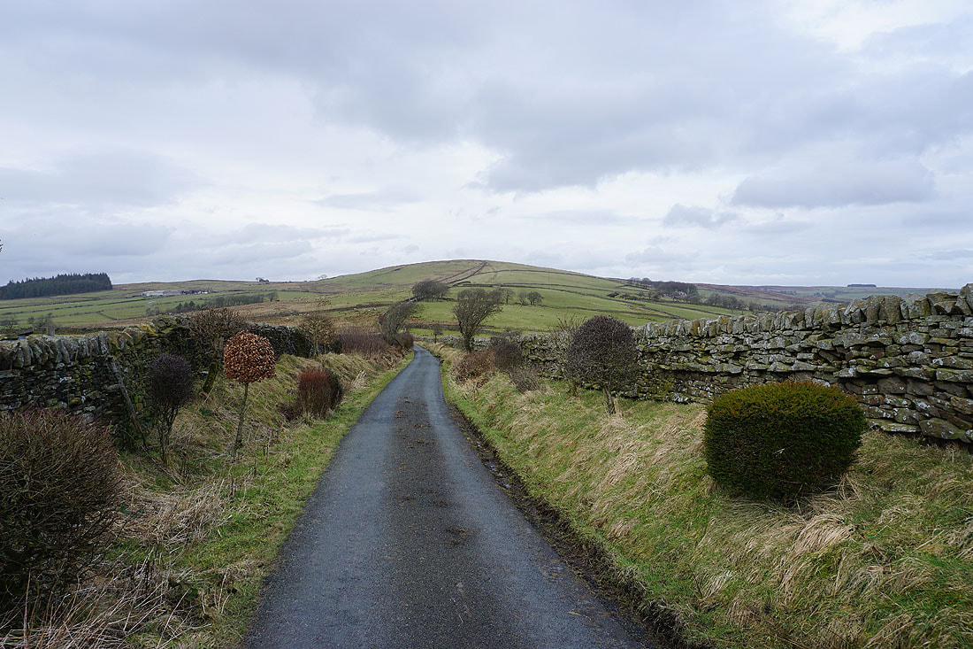
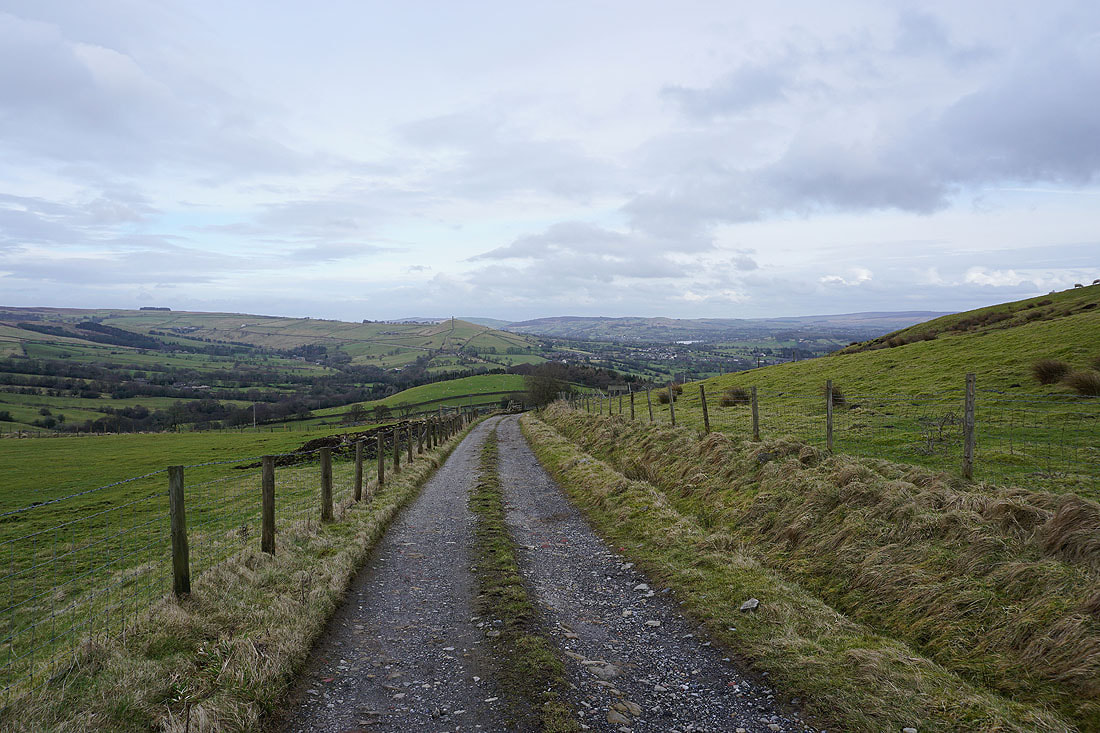
Making my way up Gisburn Old Road
Looking back with Boulsworth Hill in the distance
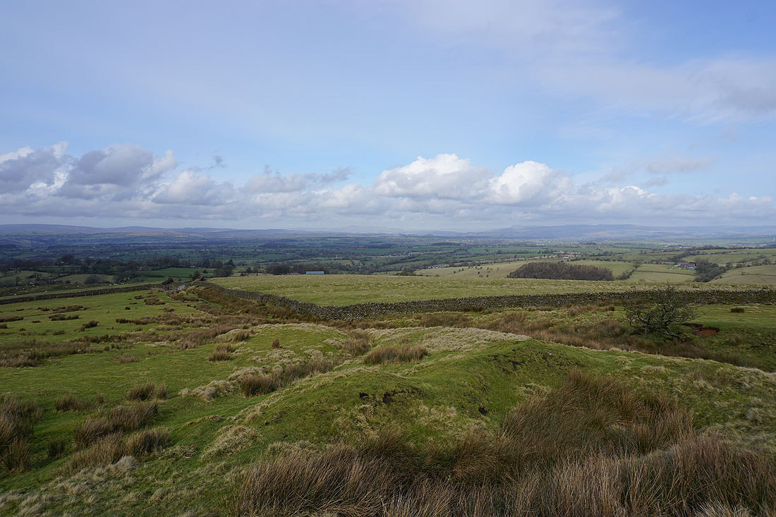
Blacko Hill and the Forest of Pendle
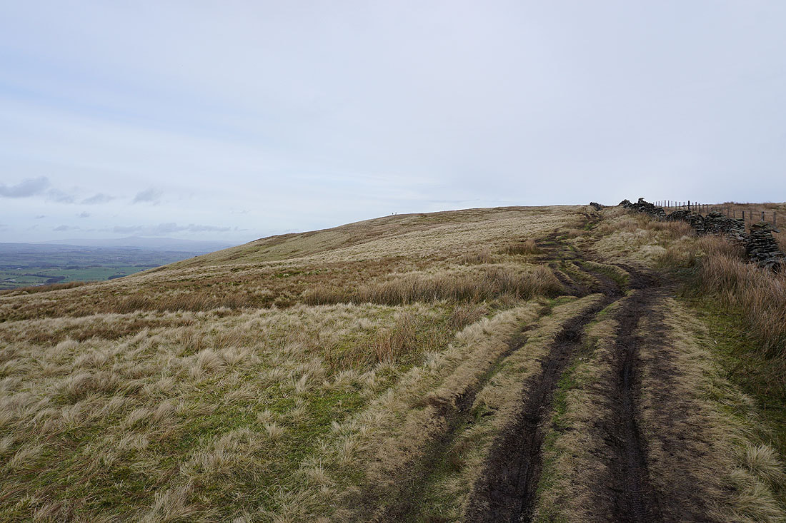
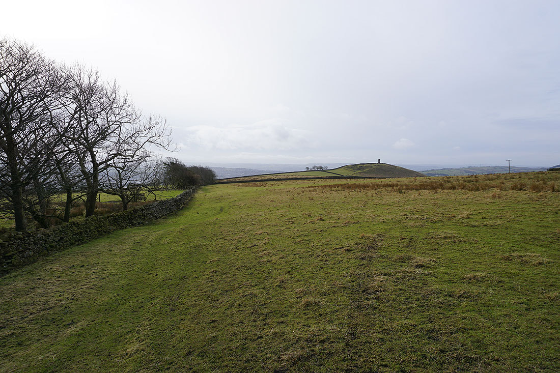
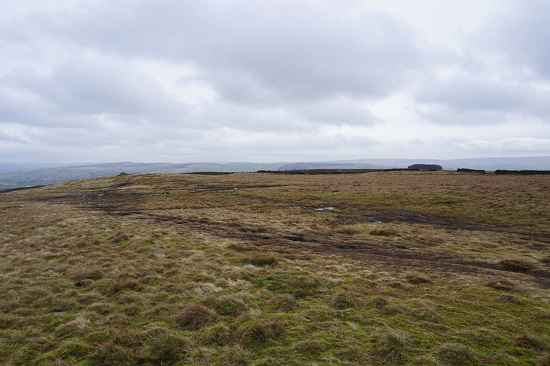
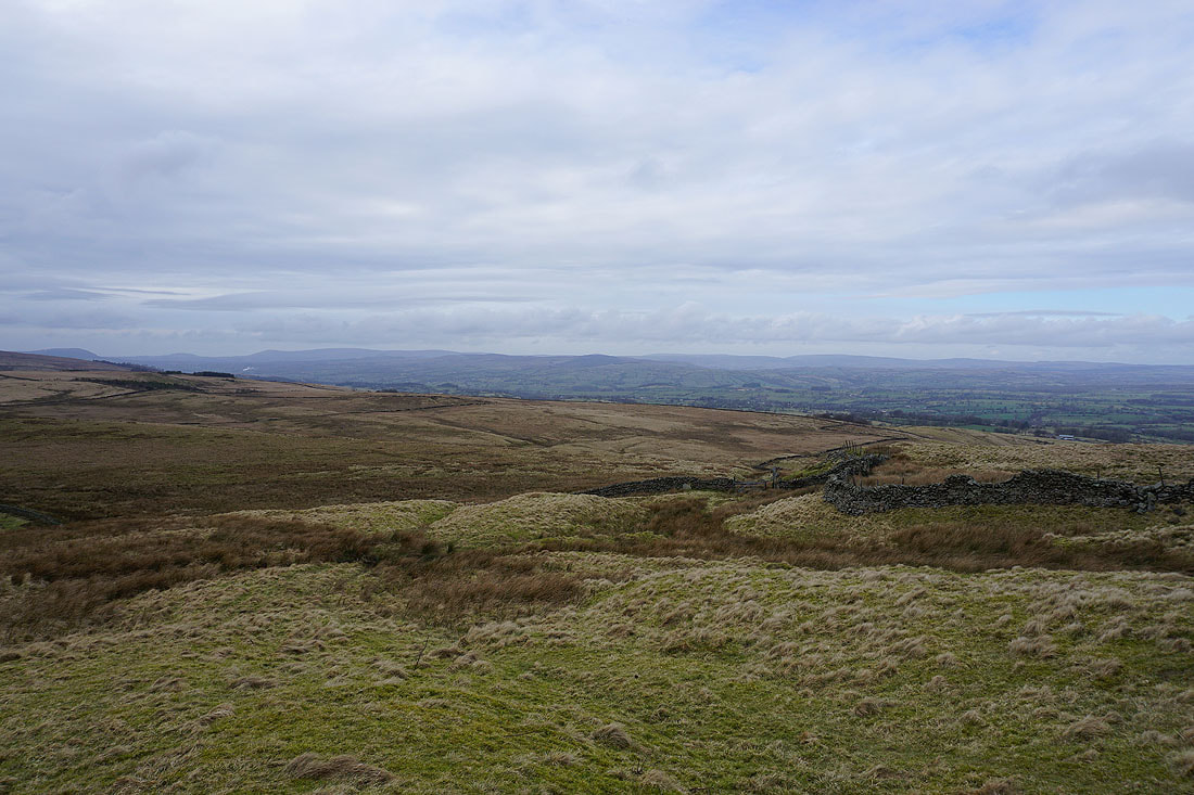
At the top of Gisburn Old Road I leave the Pennine Bridleway and make my way to the top of Weets Hill
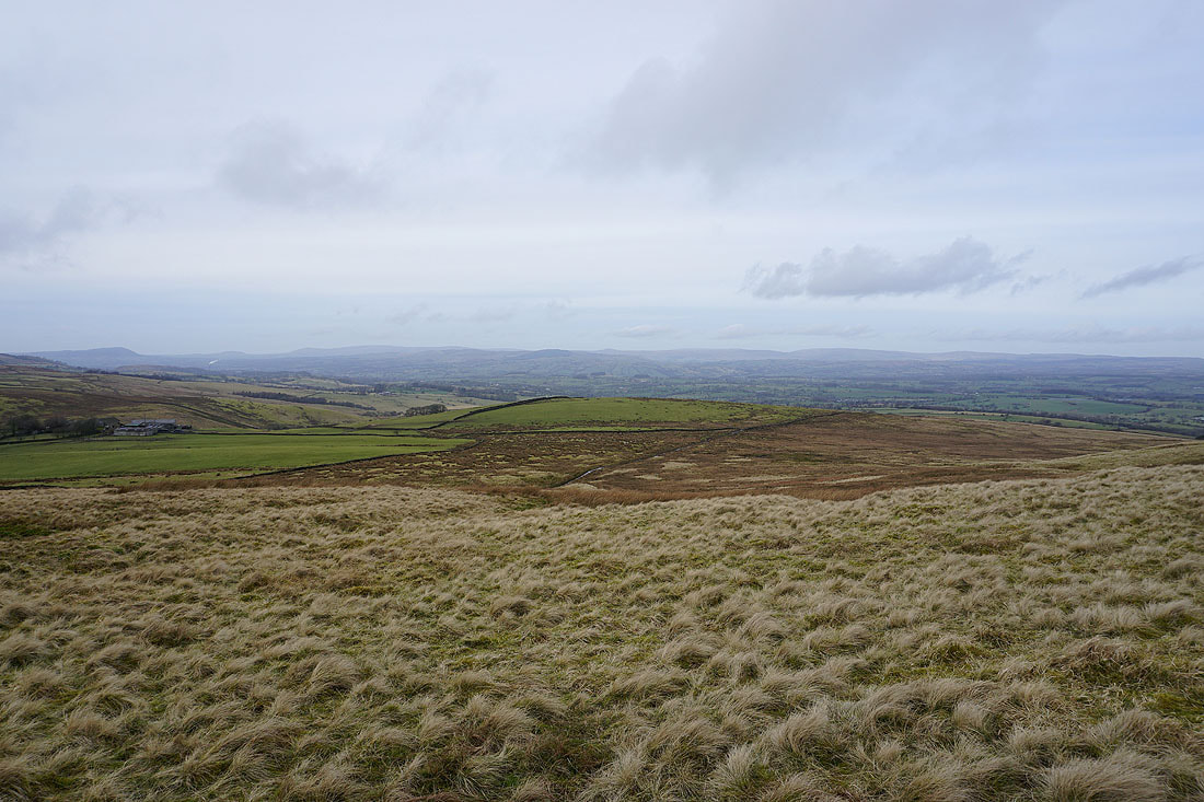
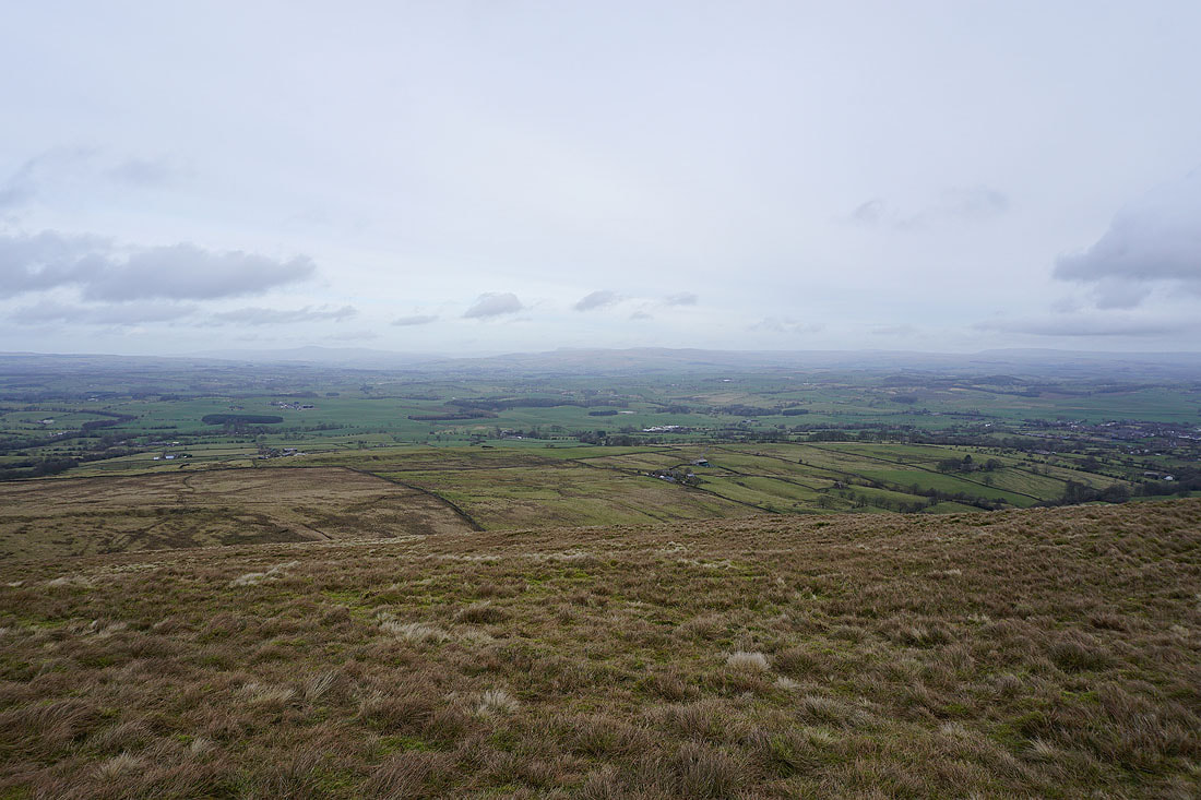
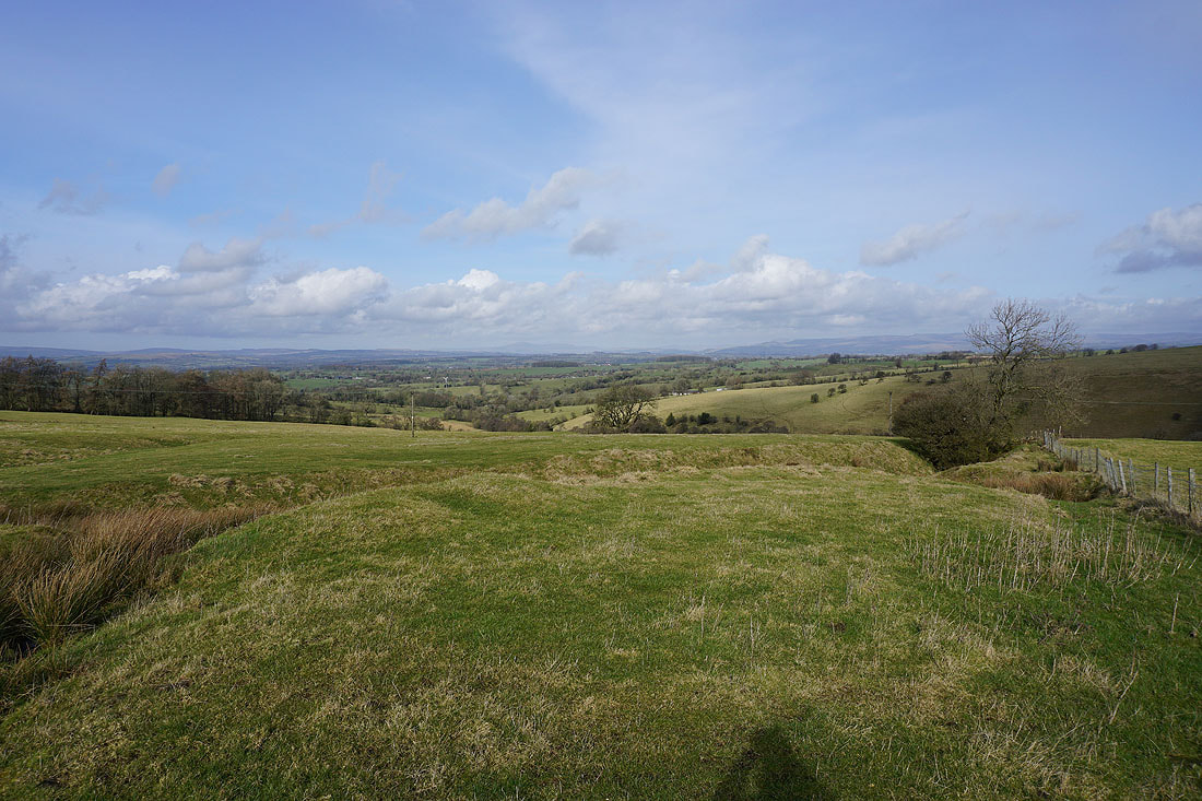
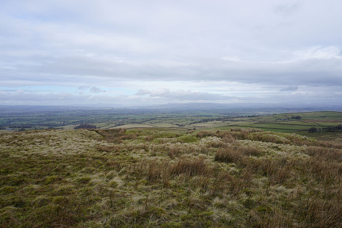
Looking northwest across the Ribble Valley to the Forest of Bowland
The top of Pendle Hill in the distance
Barden Moor and Thornton Moor to the northeast, with Barnoldswick below
Ingleborough, the moors between Settle and Malham, and Great Whernside in the distance to the north
Thornton Moor, Bleara Moor, Kelbrook Moor and Ickornshaw Moor to the east
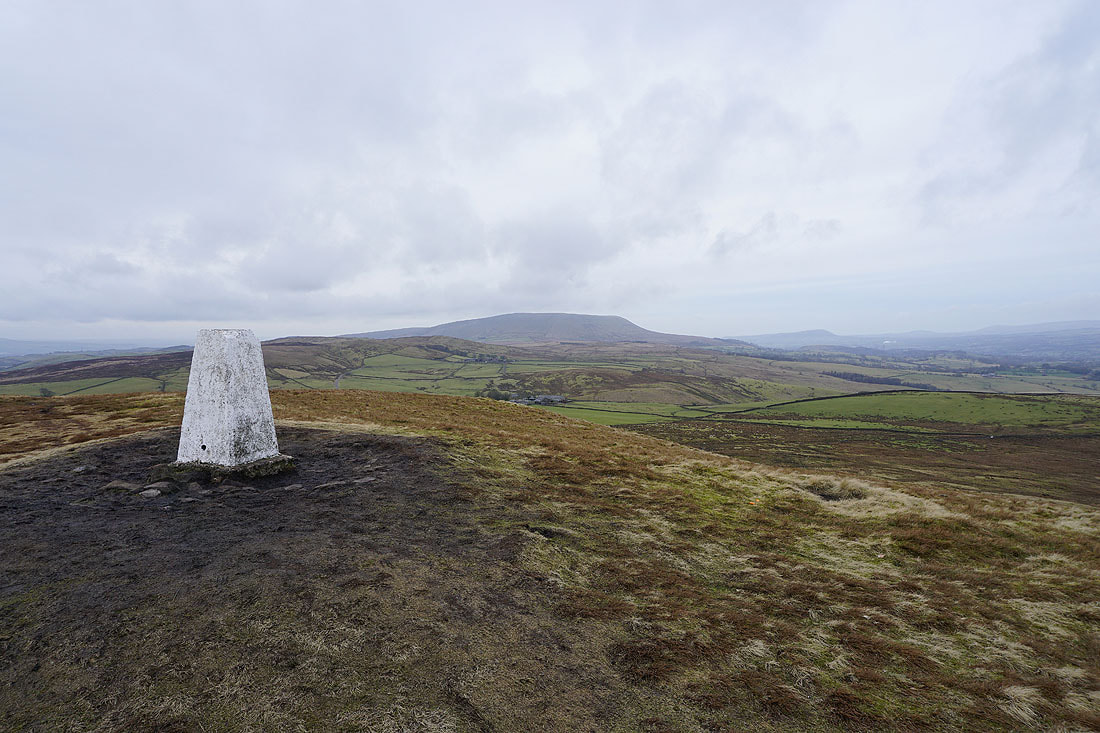
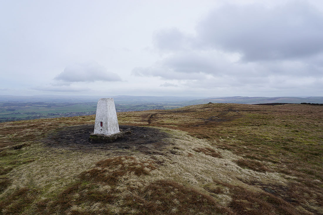
Pendle Hill from the trig point on Weets Hill
Great Whernside, Barden Moor and Elslack Moor to the northeast
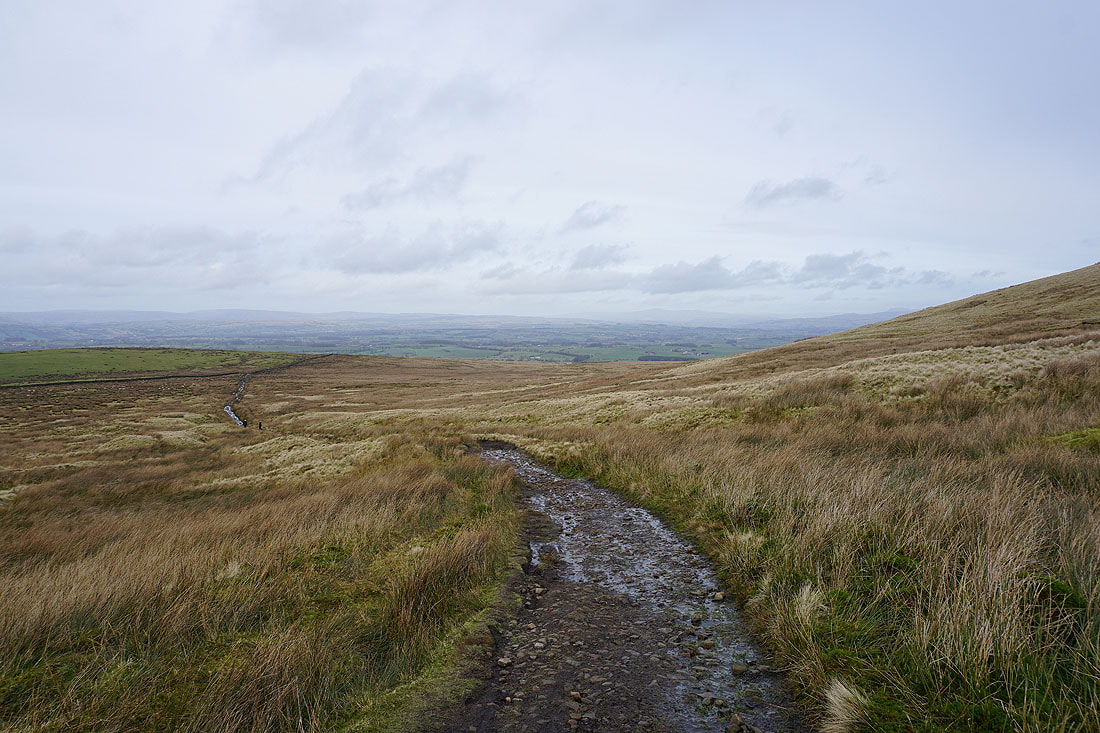
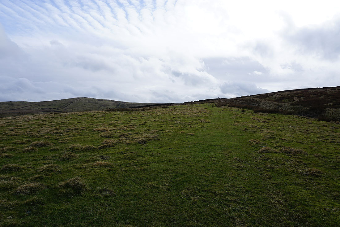
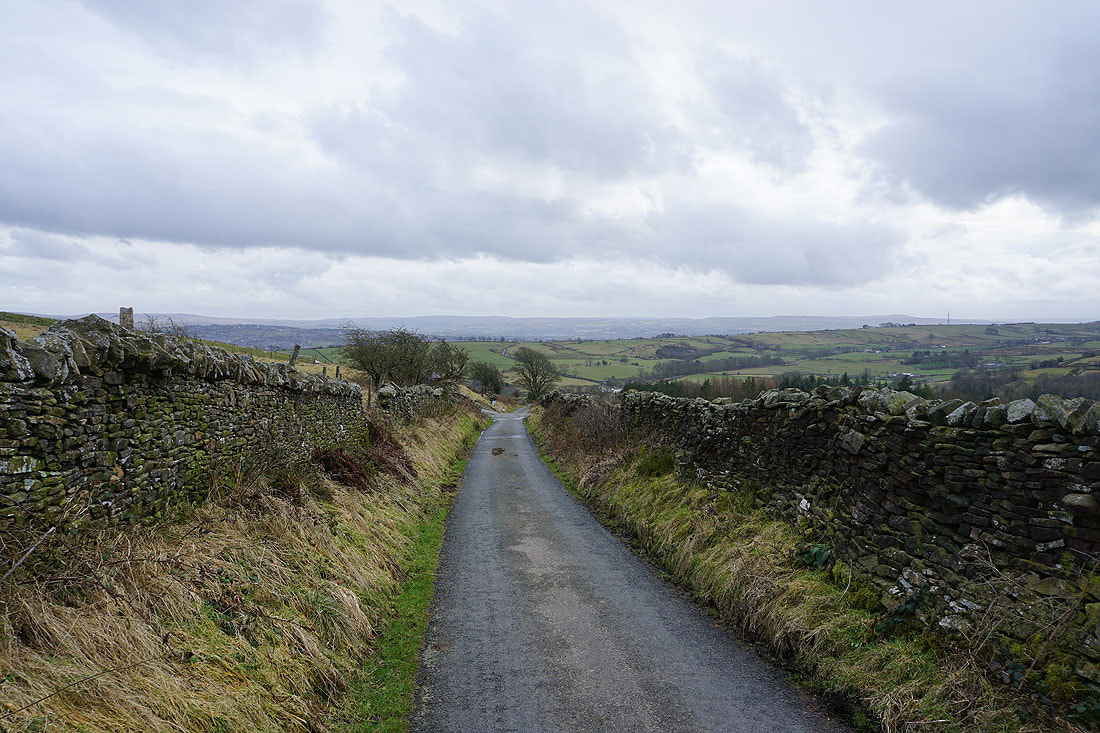
Weets Hill has been left behind and I'm heading north on the Pennine Bridleway....
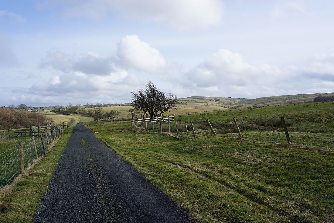
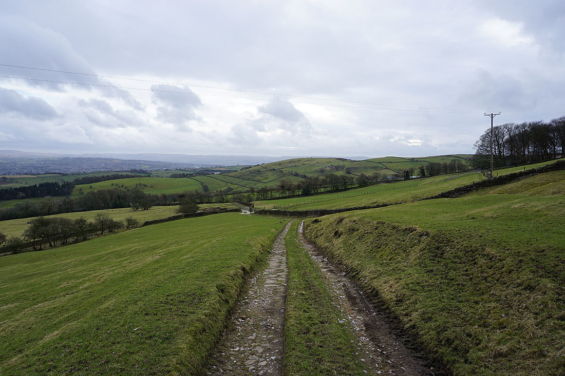
Having crossed the A682 I walk west along Stocks Lane..
To my right I have a view across to the Yorkshire Dales
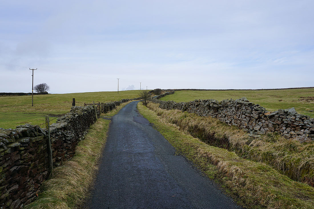
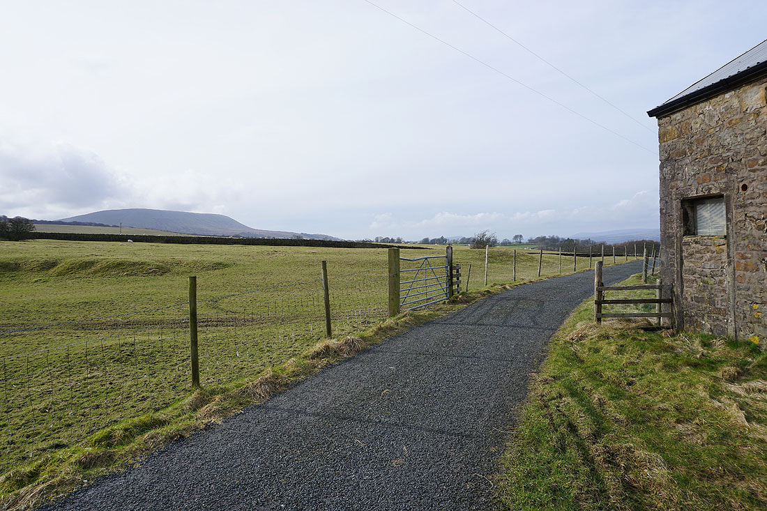
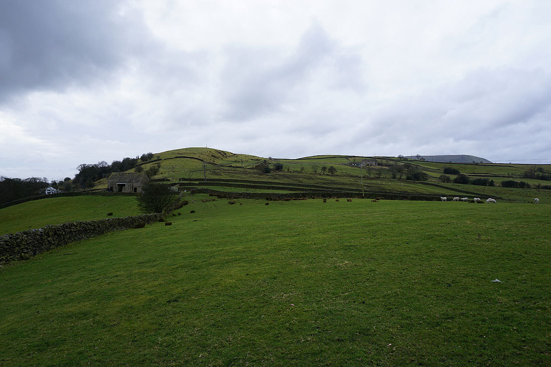
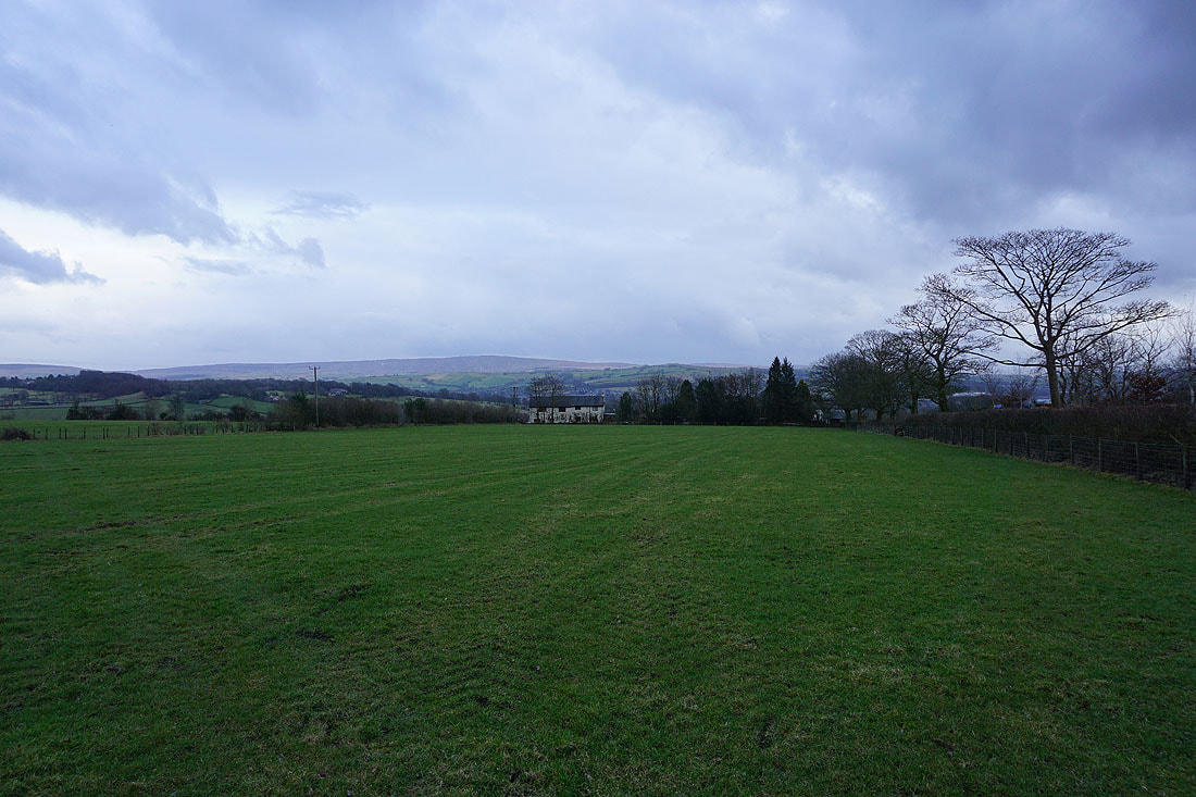
Middop Hall
It feels positively springlike in this sunshine..
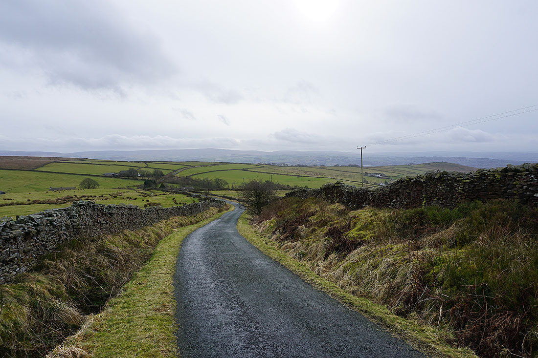
Looking back along Whytha Road with Weets Hill on the right
Looking north across the Ribble Valley to the Forest of Bowland and the Yorkshire Dales..
..as I head up onto Rimington Moor
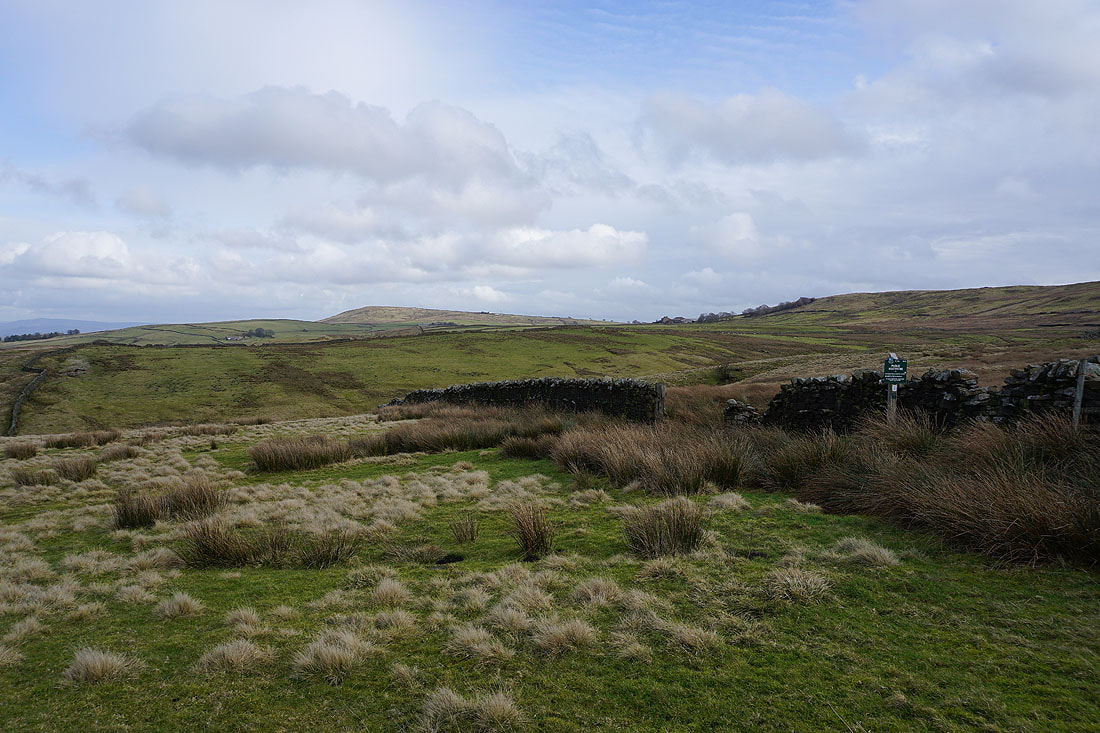
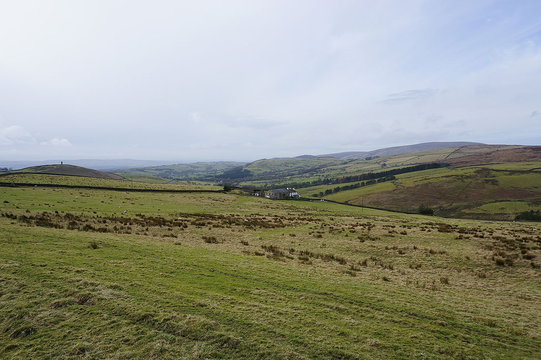
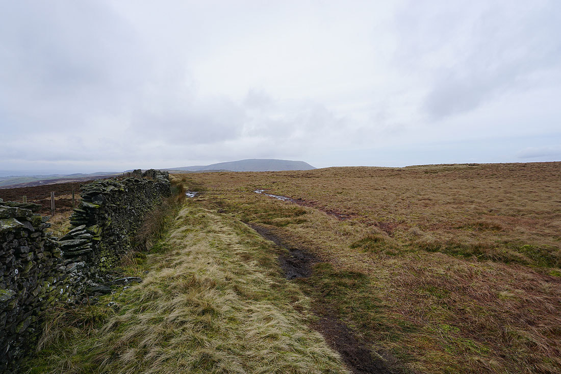
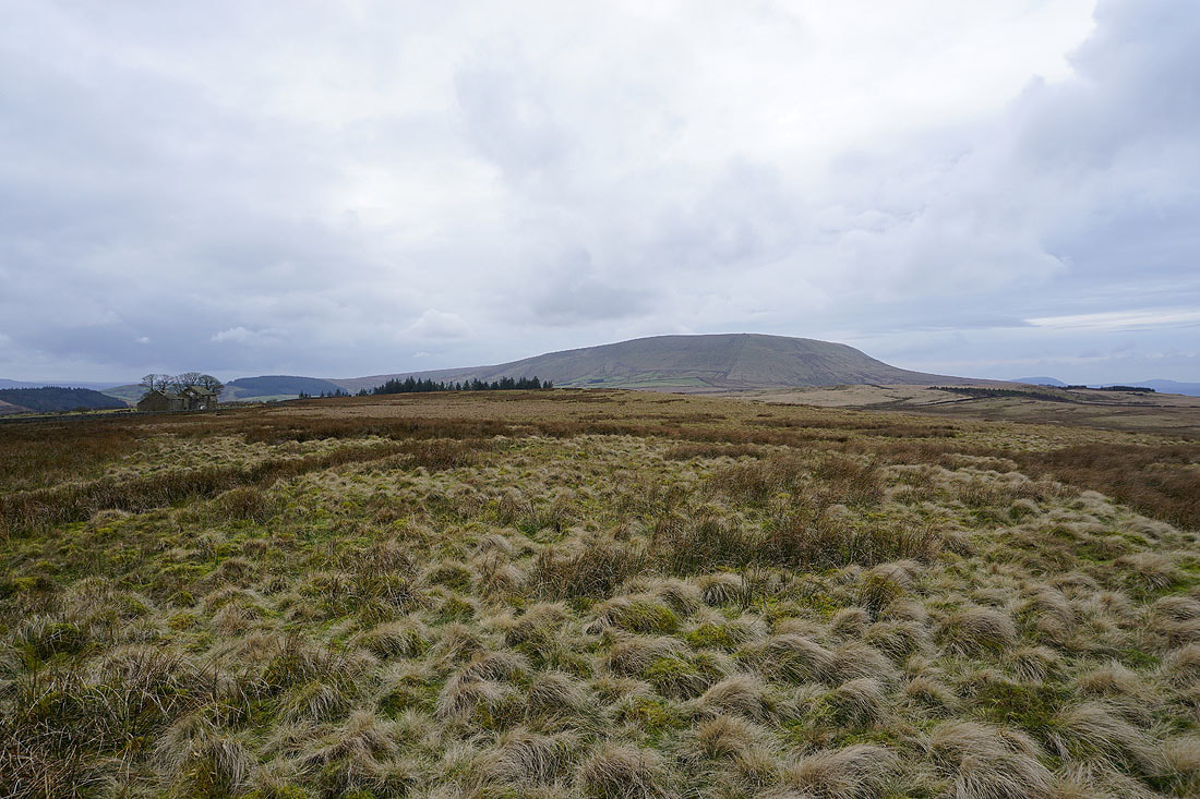
Weets Hill to the east
Pendle Hill rises above Rimington Moor
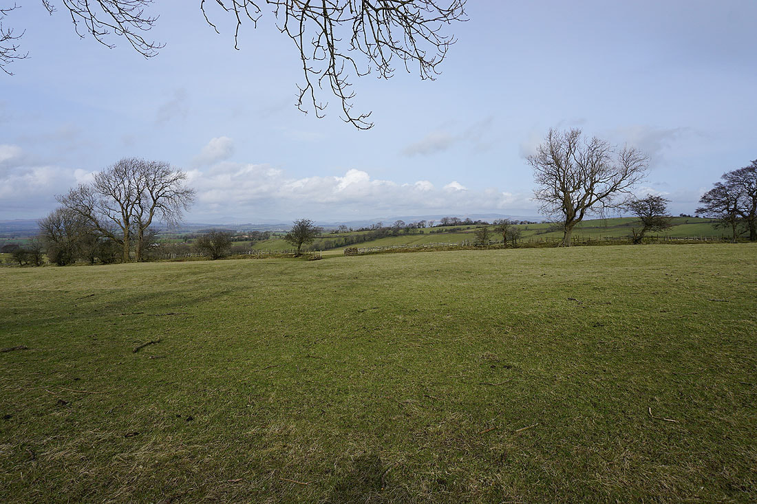
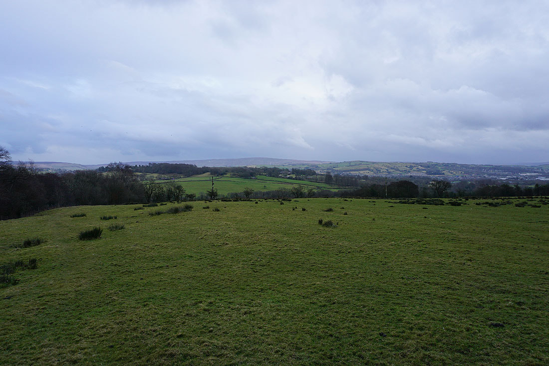
Improving views across to the Yorkshire Dales as I head for the top of Rimington Moor..
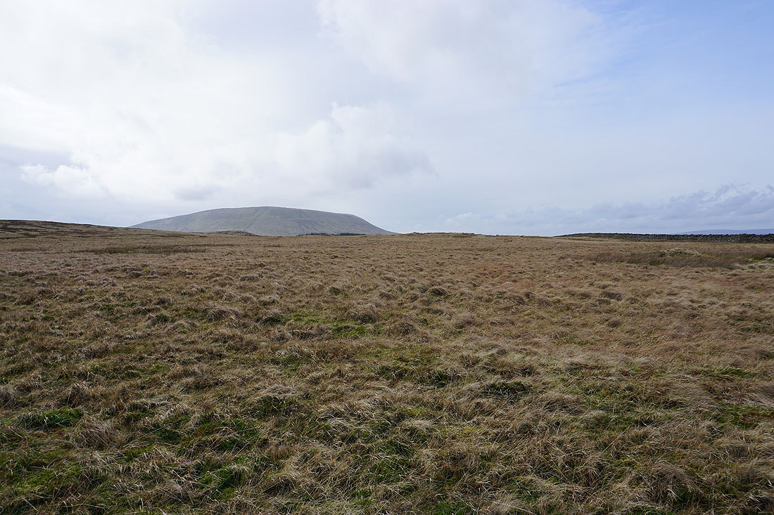
Pendle Hill from the top of Rimington Moor
The Forest of Bowland on the other side of the Ribble Valley
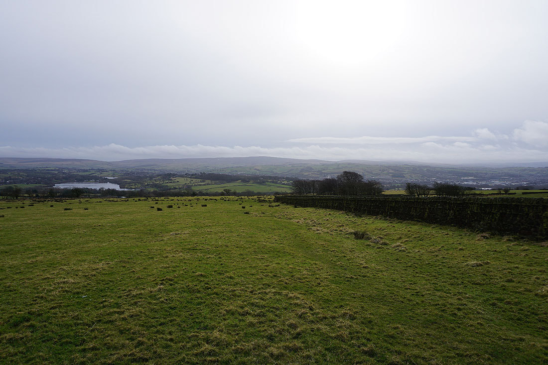
The Black Moss Reservoirs and Pendle Hill
Ingleborough, Penyghent, Fountains Fell and Great Whernside in the distance from Wheathead Height
Weets Hill to the northeast
On the top of Wheathead Height
Following the track from Wheathead Height down to Wheathead Lane...
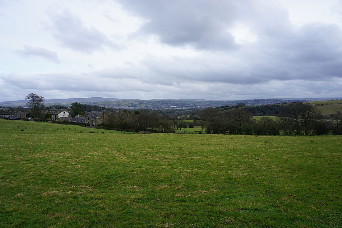
To my left I have a view of the countryside around Blacko, Barrowford, Colne and Nelson
A brief diversion from Wheathead Lane onto a footpath in a neighbouring field gives me a great view of the Black Moss Reservoirs and Pendle Hill
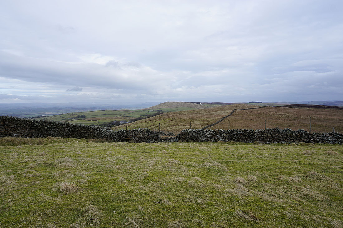
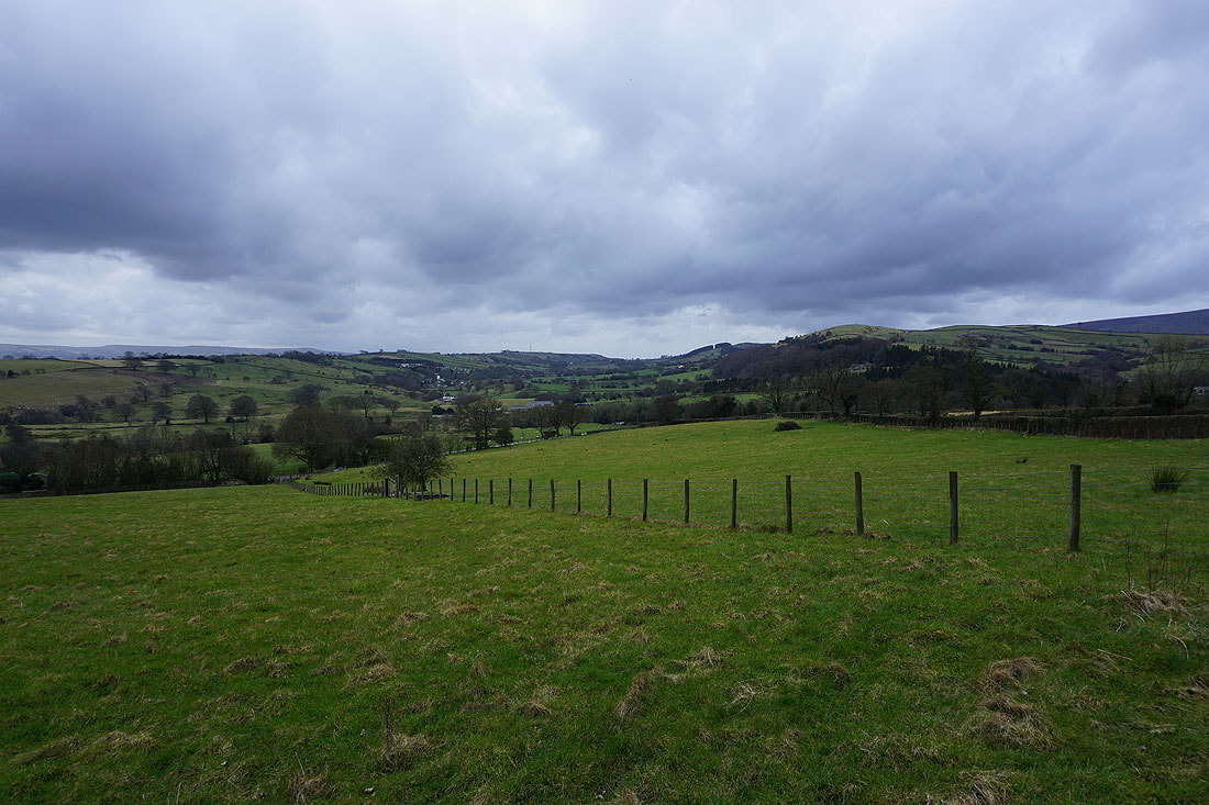
Ickornshaw Moor and Boulsworth Hill in the distance
Looking back to Wheathead Height..
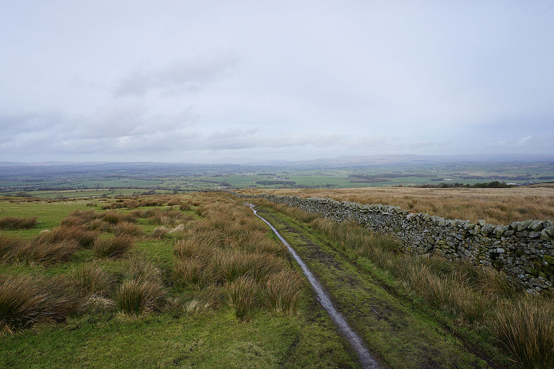
..as I walk south along Stang Top Road
Pendle Hill from Brown Hill. I can make out the trig point on Stang Top Moor where the slope of Pendle Hill dips below the edge of the moor.
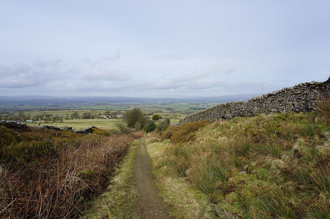
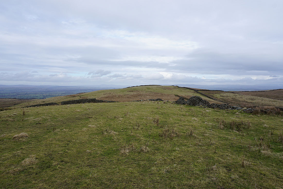
On the track east across Brown Hill
Looking back up onto Brown Hill
Blacko Hill ahead
Wheathead Height and Burn Moor to my left
Blacko Hill as I walk along Blacko Bar Road to Blacko
Darkening skies over Blacko..
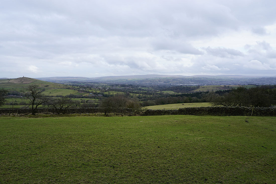
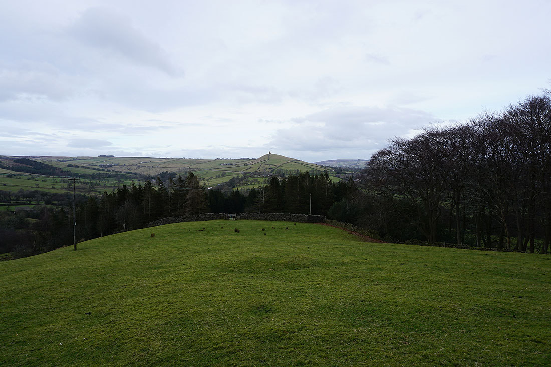
Pendle Hill from Brownley Park Farm in Blacko
Pendle Hill and Blacko Hill from Burnt House Farm
and Boulsworth Hill in the distance
Boulsworth Hill in the distance as I head down to Slipper Hill Reservoir
Making my way round Slipper Hill Reservoir..
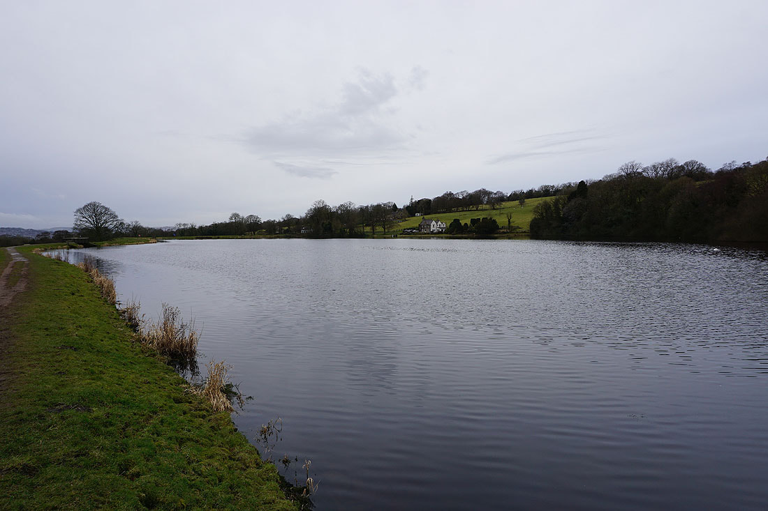
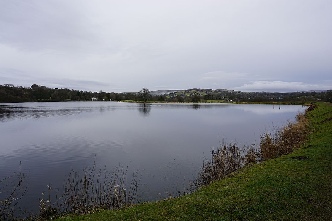
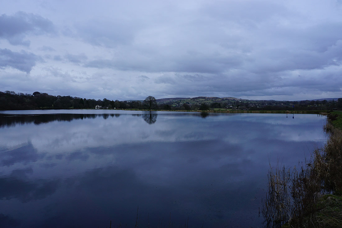
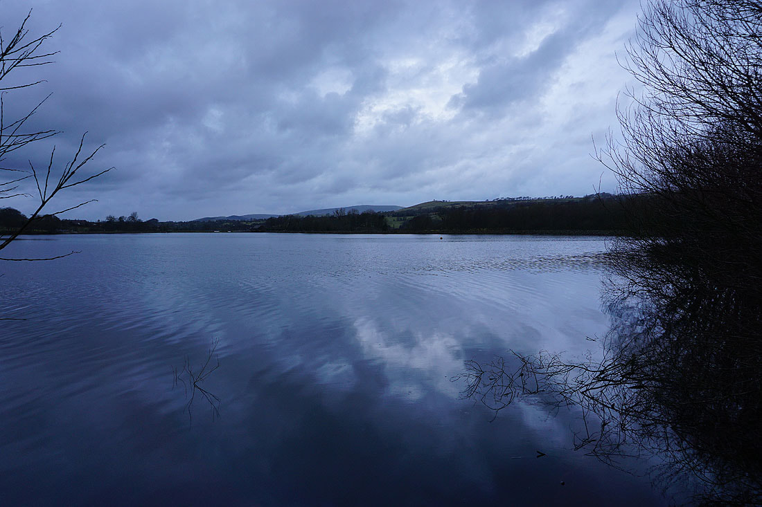
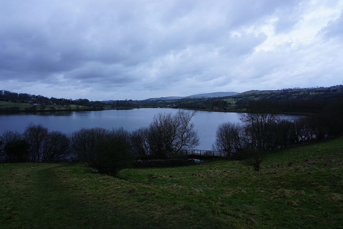
Dark clouds threaten as I walk round Foulridge Lower Reservoir...
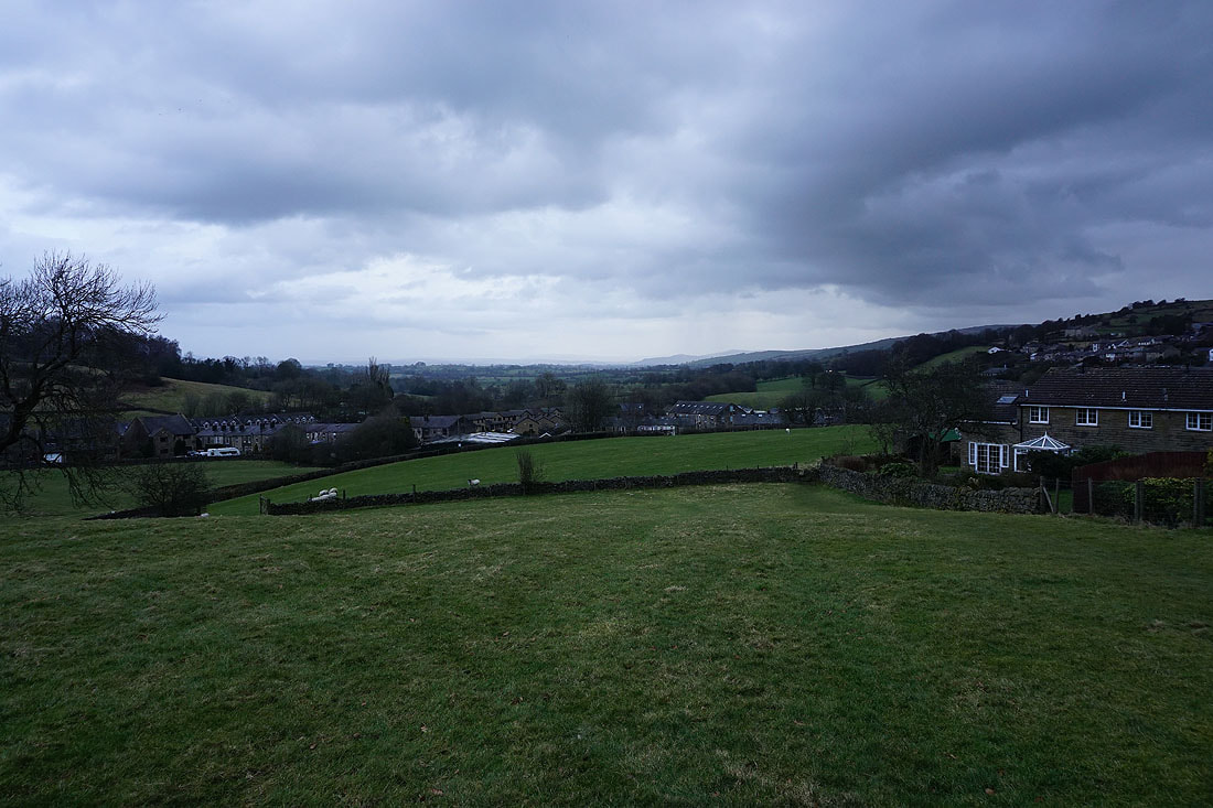
Back in Foulridge and the rain arrived just before I made it home