21st January 2017 - High Raise and High Street
Walk Details
Distance walked: 8.9 miles
Total ascent: 2911 ft
OS map used: OL5 - The English Lakes, Northeastern area
Time taken: 6 hrs
Route description: Mardale Head-The Rigg-Bowderthwaite Bridge-Flakehowe Crags-Castle Crag-Low Raise-High Raise-Rampsgill Head-Kidsty Pike-Twopenny Crag-Short Stile-High Street-Nan Bield Pass-Small Water-Mardale Head
I hadn't planned on doing a walk in the Lake District this weekend but I ended up having to resort to heading that far north to stay in the good weather. The skies cleared yesterday afternoon to give some beautiful winter sunshine and the forecast had initially been for them to remain that way across the northwest of England during daylight hours today. However, yesterday evening it changed and the low cloud was now set to spread in from the southeast through the morning and afternoon. My planned walk changed to this one from Haweswater in the far eastern fells of the Lake District. It's an area that I've often visited and am quite familiar with, it being one of the closest parts of the Lakes to where I live. That said, I was surprised at how long it's been since I was last on some of the summits. Apart from High Street, over four years and for High Raise, nearly six years. It was certainly a good decision to head up there. When I set off from home the low cloud was already showing signs of moving in but I arrived at Mardale Head at 0915 to find clear blue skies and sunshine. It stayed that way past lunchtime and it was only when I'd arrived on the summit of High Street at around 1345 that the cloud finally covered the fells. By then the best part of the walk was done. It was a great day to be on the fells and the cloud just added a bit of drama.
I set off from the car park at Mardale Head by taking the path round the head of Haweswater and along the shoreline to The Rigg. After rounding this I made my way down into Riggindale and across Bowderthwaite Bridge to continue by Haweswater to Flakehowe Crags. When the path reached a point below Castle Crag I left it and did a pathless ascent to reach the site of the old fort. It was steep and with no obvious line to take I had to make it up as I went along. After a bit of breather it was uphill once again on High Raise's southeast ridge to Low Raise and then to the summit of High Raise itself. The nearby fells of Rampsgill Head and Kidsty Pike were then visited before heading for the high point of the day, High Street. With the cloud finally coming over I didn't waste any time on the way down. I bypassed the summit of Mardale Ill Bell on the way to the Nan Bield Pass before turning left and taking the path down past Small Water back to Mardale Head.
Route map
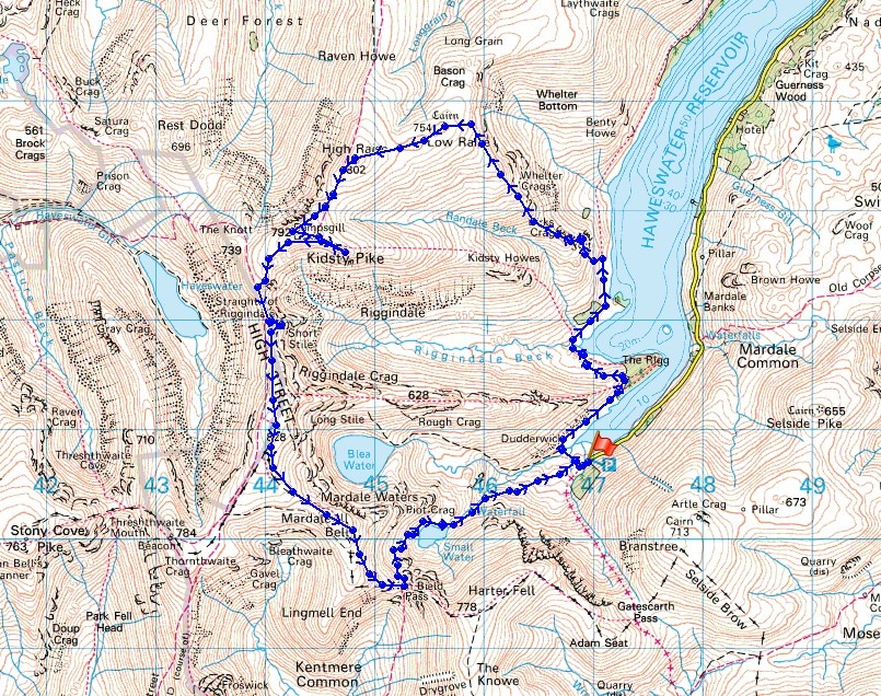
© Crown copyright. All rights reserved. License number PU 100034184.
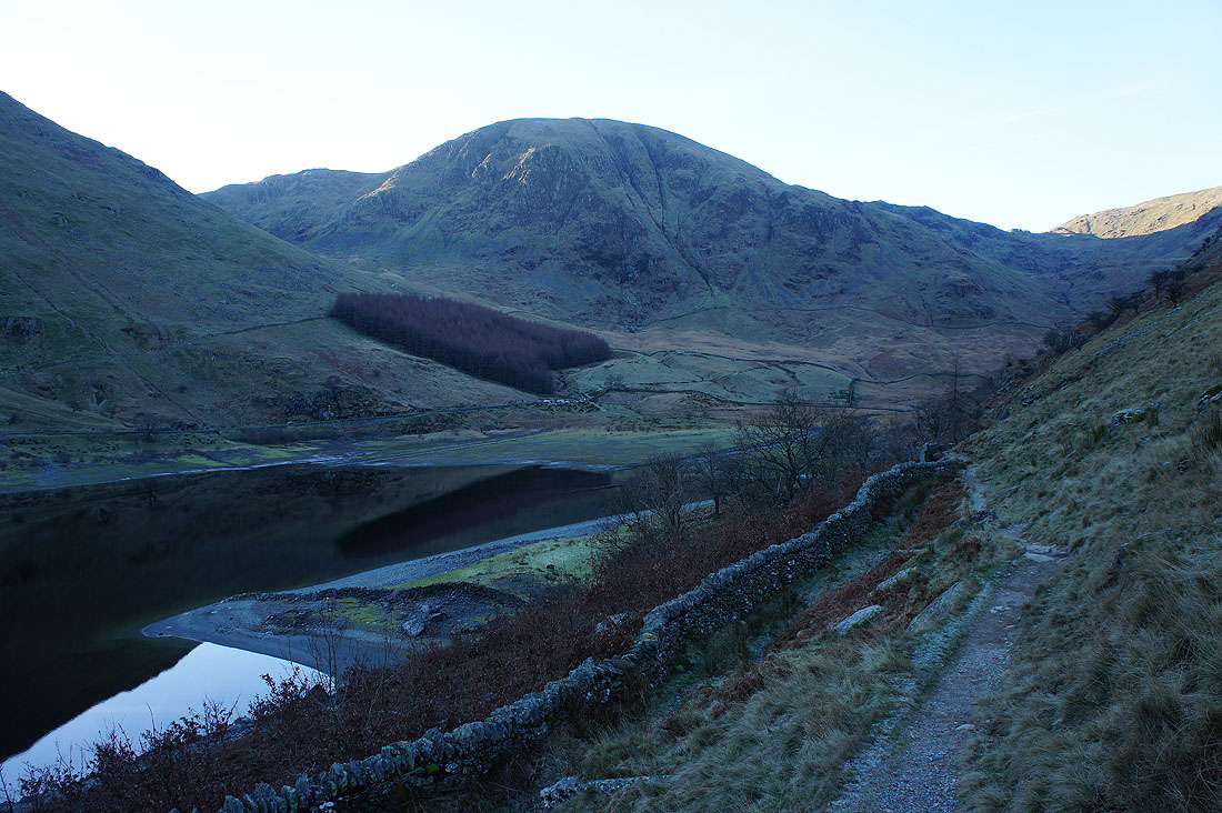
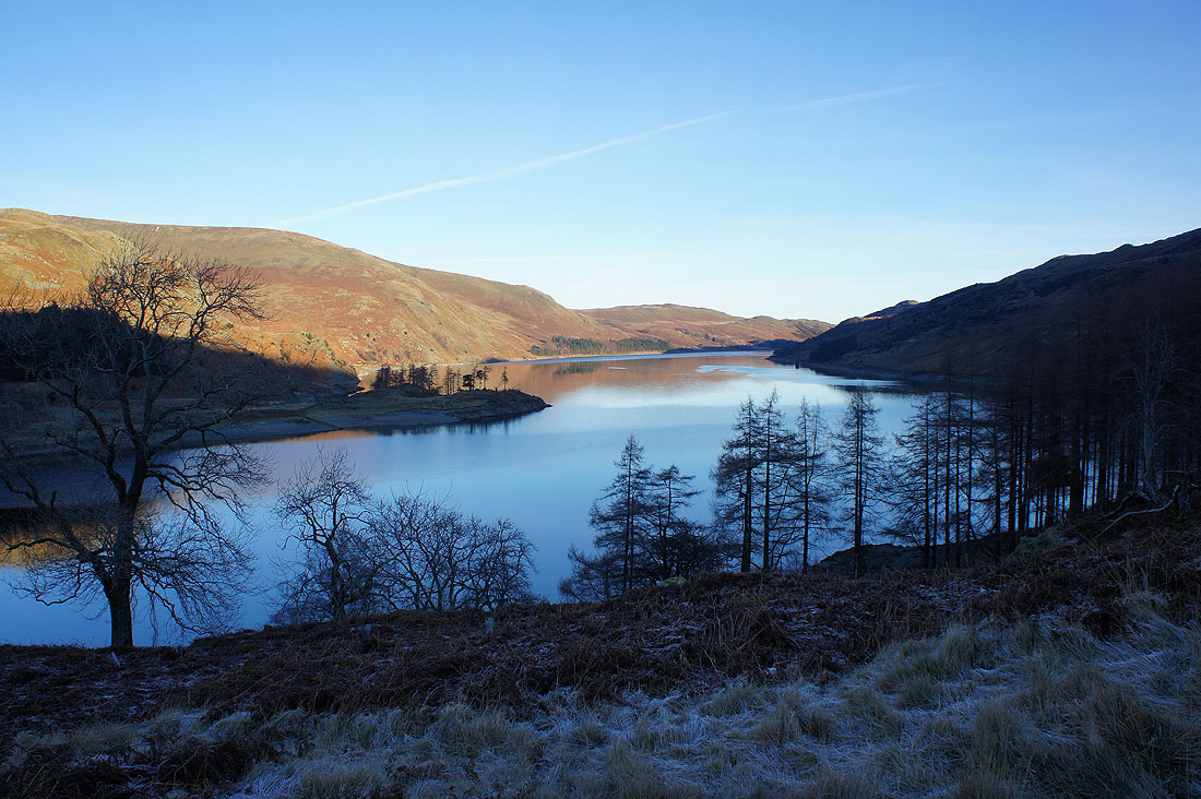
Rounding the head of Haweswater as I set off from Mardale Head. The reservoir certainly isn't full at the moment.
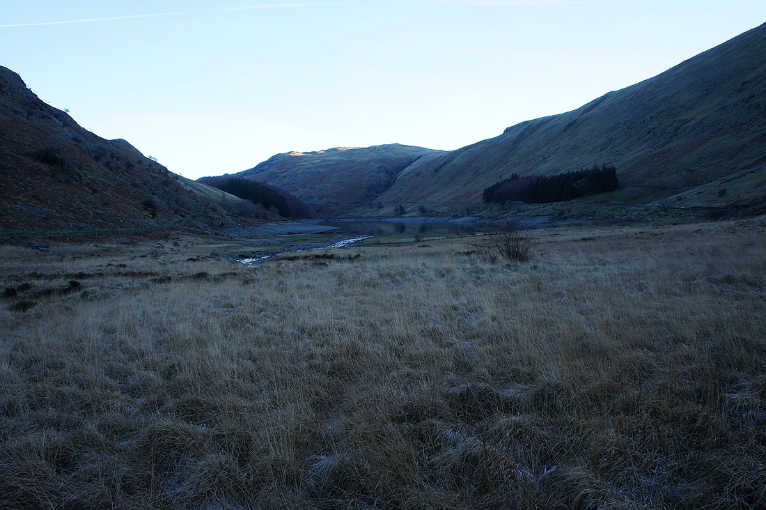
Mardale Head backed by Harter Fell
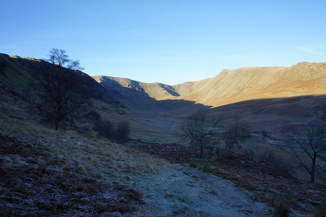
The valley of Riggindale appears as I round the promontory of The Rigg. Kidsty Pike is the fell on the right.
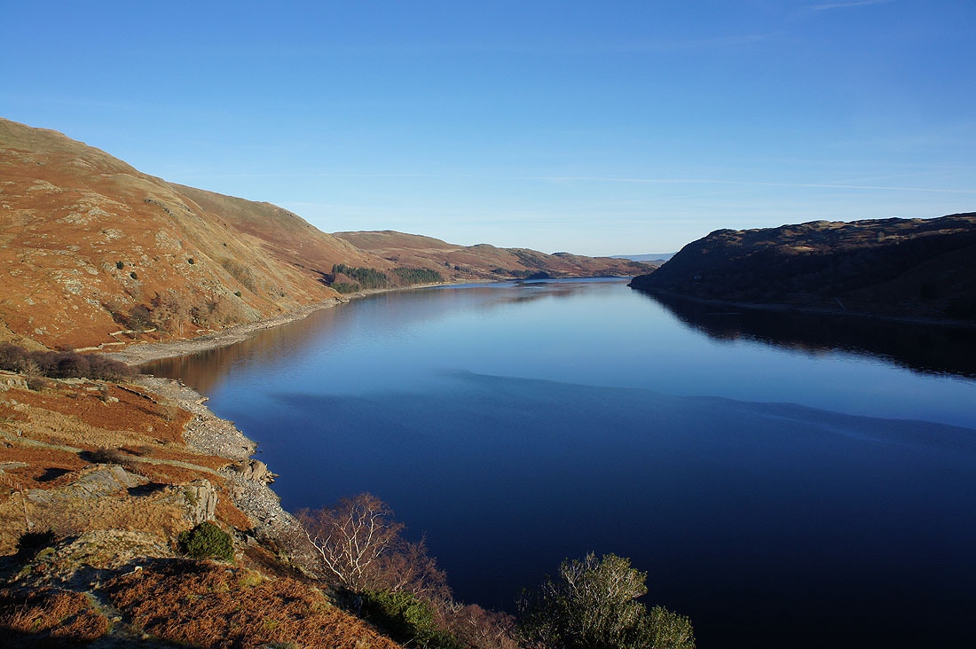
Looking down Haweswater
and again as the path by Haweswater reaches the fellside below Castle Crag
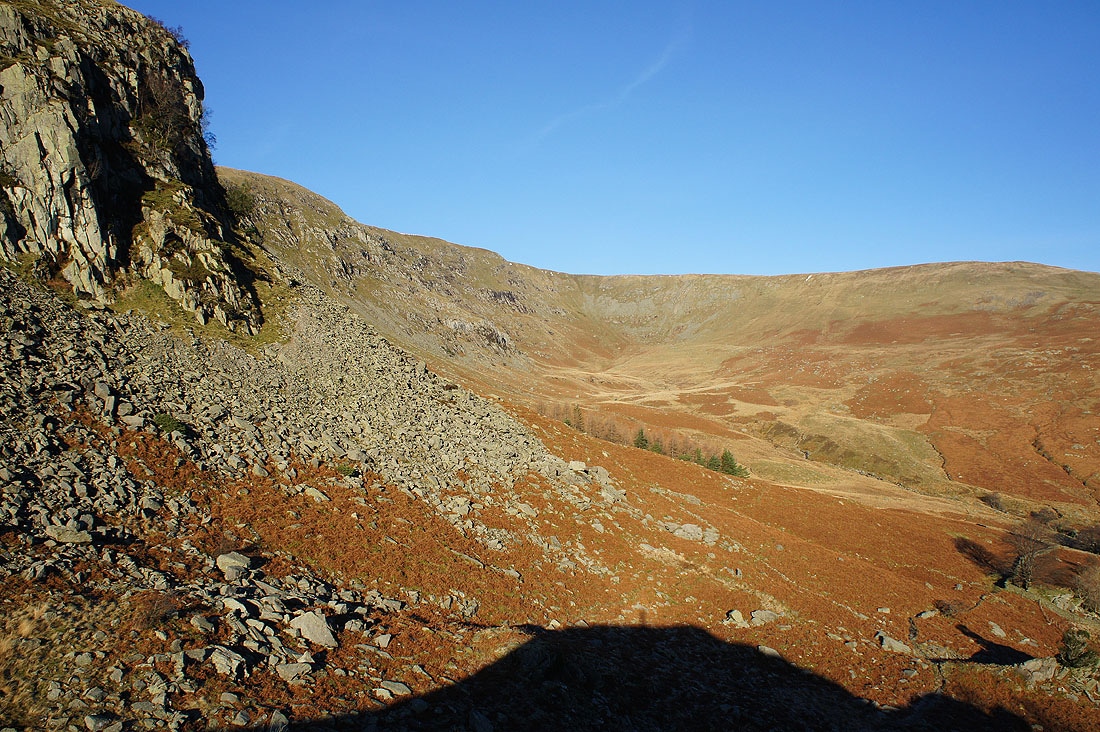
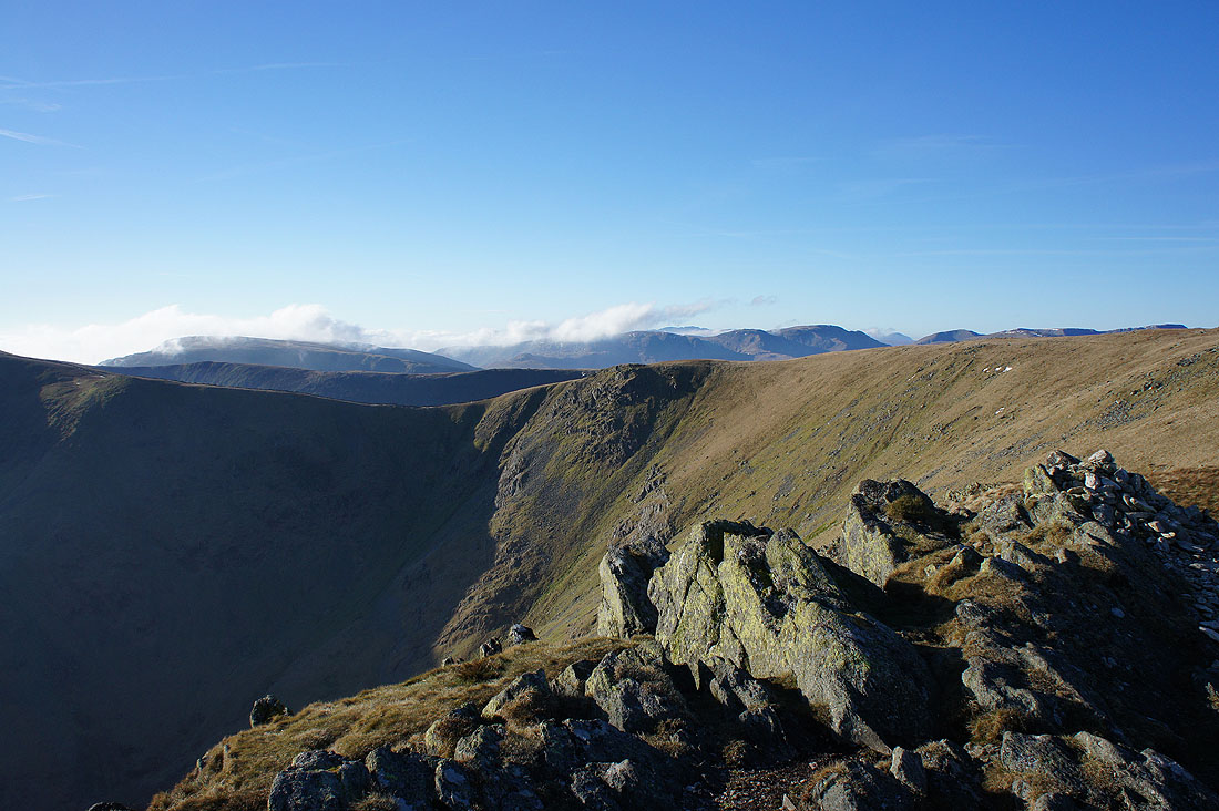
Whelter Crags and the bowl of Whelter Bottom with the crags of Castle Crag on the left
Twenty minutes later and this view of Haweswater from the top of Castle Crag was worth the effort of getting up here. I probably didn't find the best way to reach it.
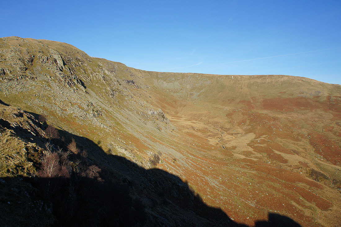
Whelter Crags and Whelter Bottom
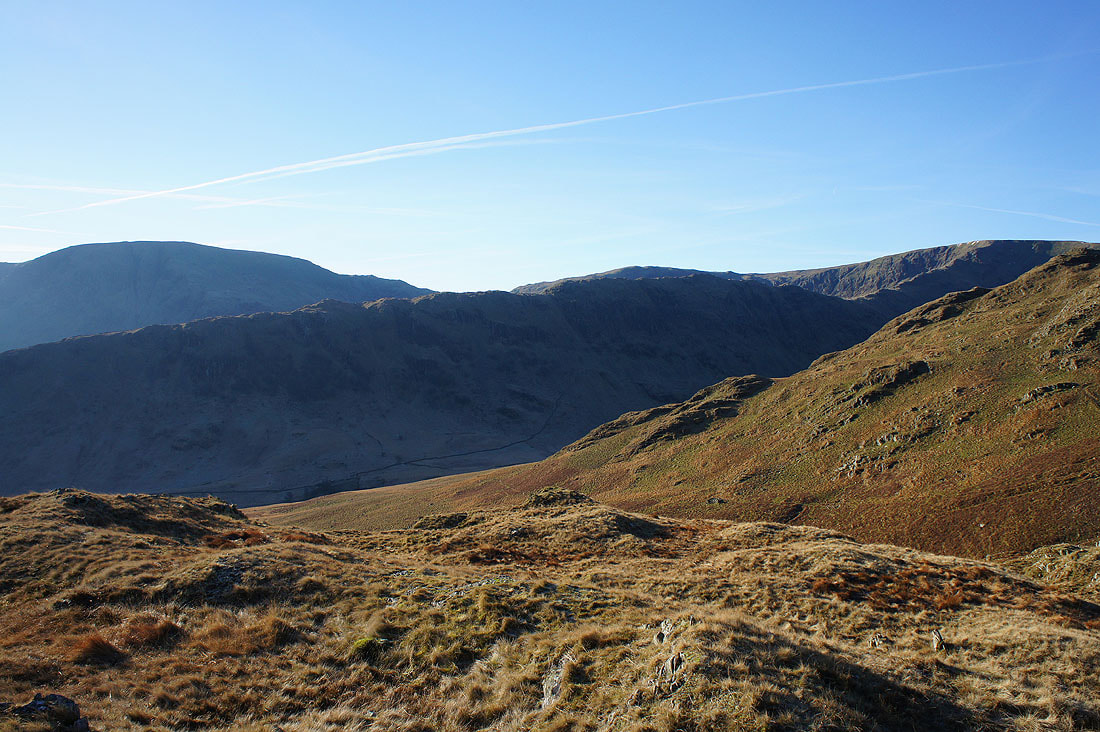
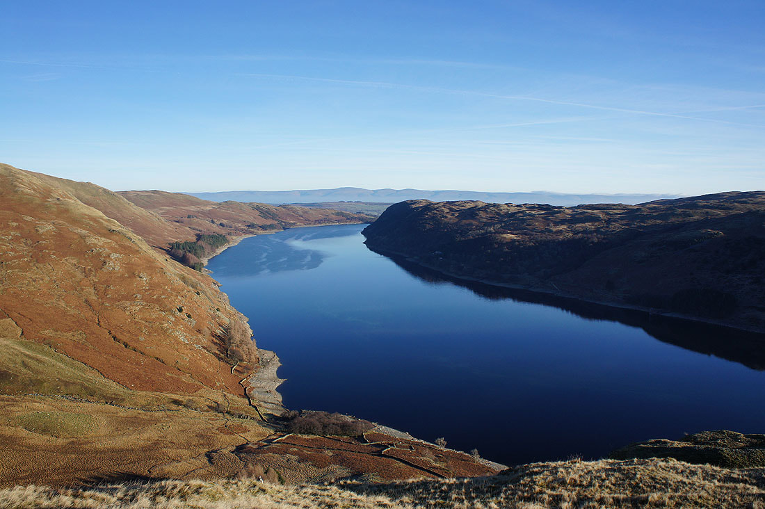
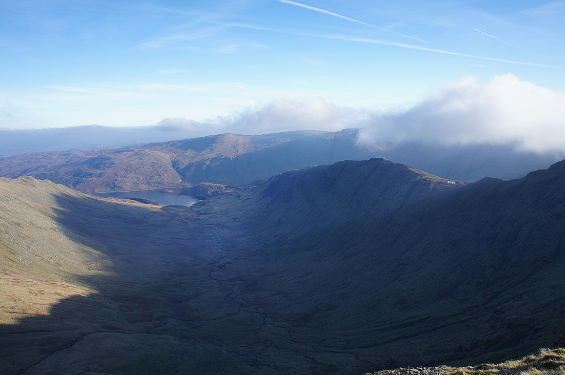
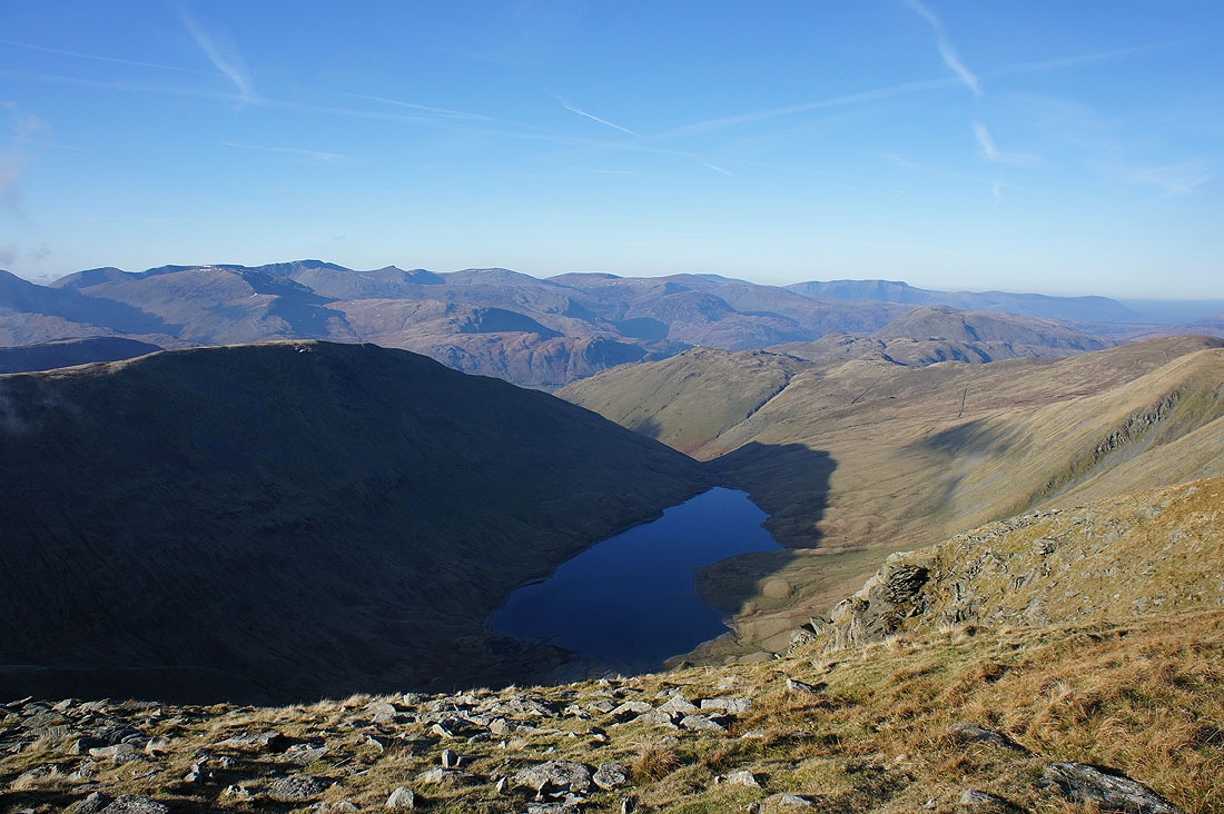
The ridge of Rough Crag heads up to the top of High Street with Harter Fell and Mardale Ill Bell beyond
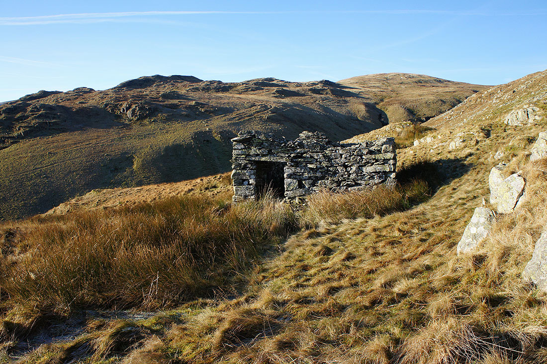
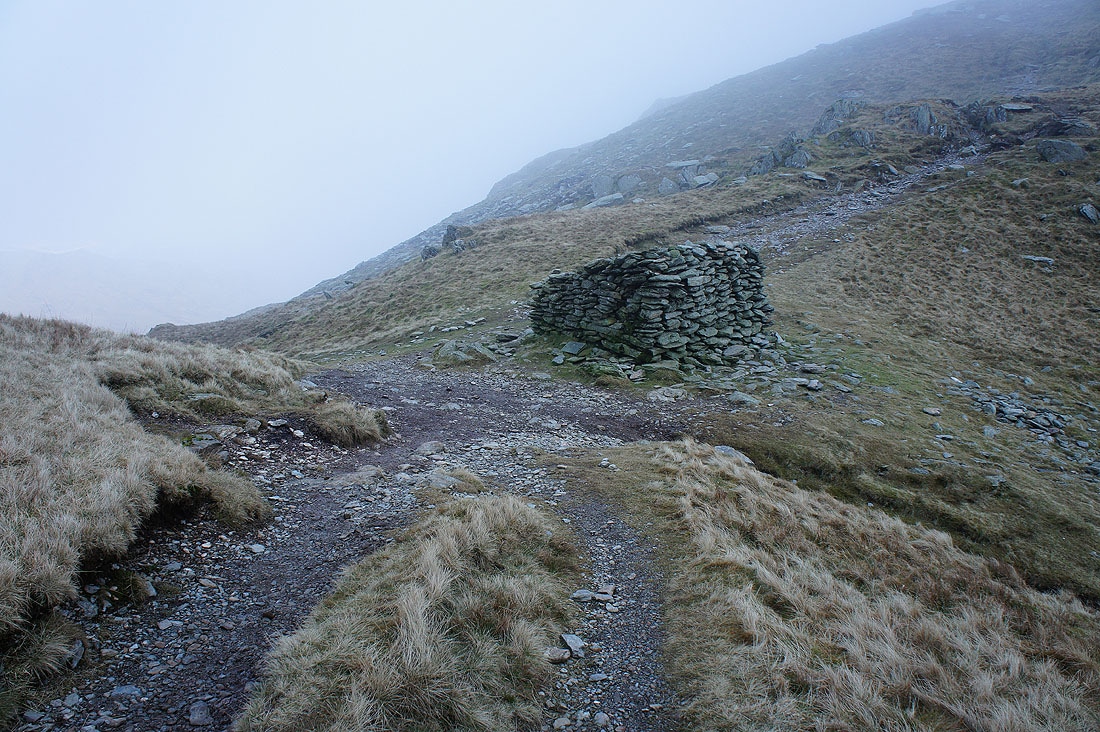
Passing the ruins of a shepherds hut as I leave Castle Crag
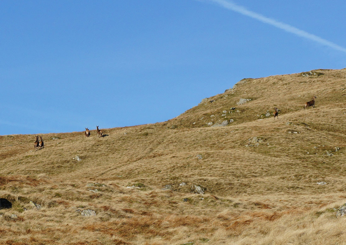
Martindale red deer make themselves scarce. I was lucky to get my camera out and take a shot before they'd disappeared.
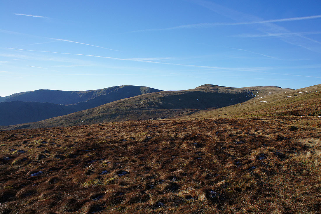
Mardale Ill Bell, High Street, Kidsty Pike and Rampsgill Head as I head uphill to Low Raise
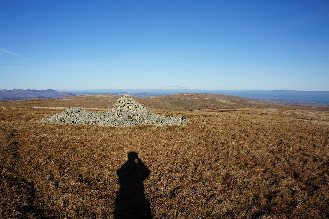
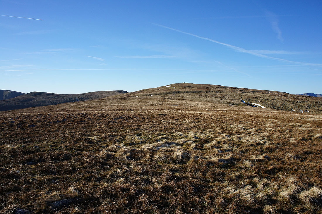
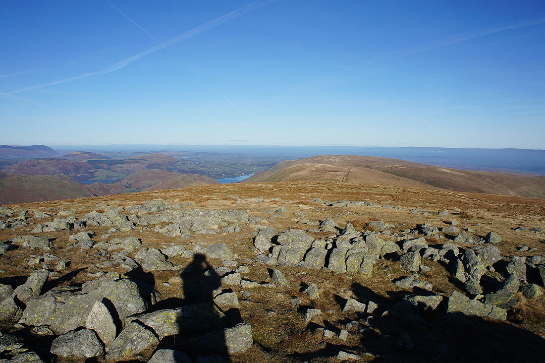
Time for a break as I arrive at the cairn and tumulus on Low Raise and it's my first time here. It keeps things interesting if I try new routes and visit tops that I haven't been to before. The higher fells to the west and north now start to appear.
Looking north to Loadpot Hill
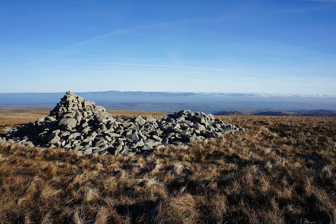
and east across the Eden valley to Cross Fell and the North Pennines. The cloud is on its way.
Heading for High Raise
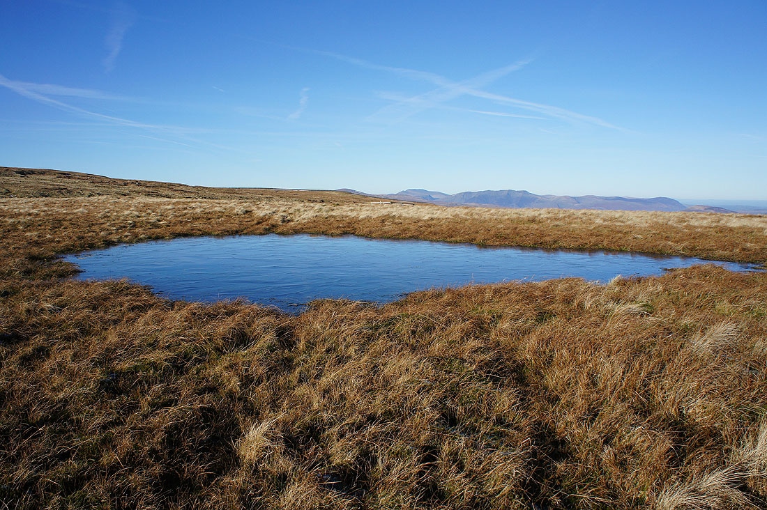
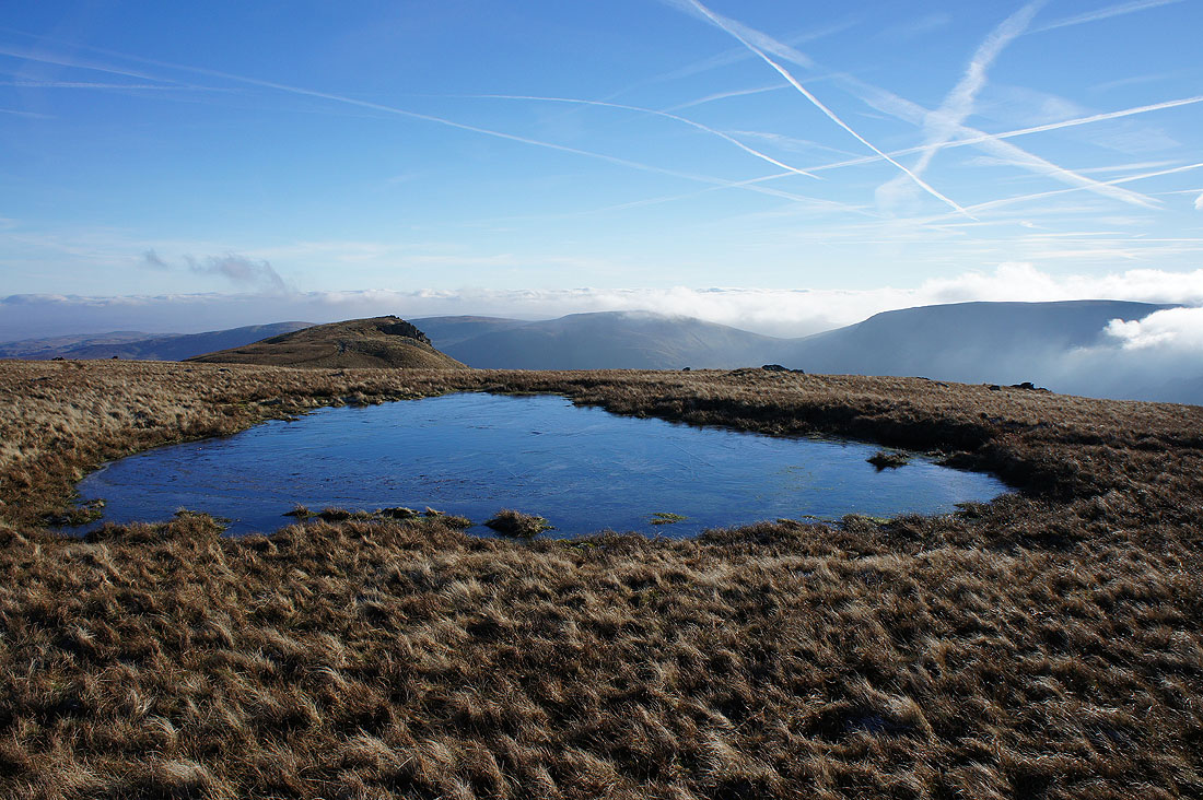
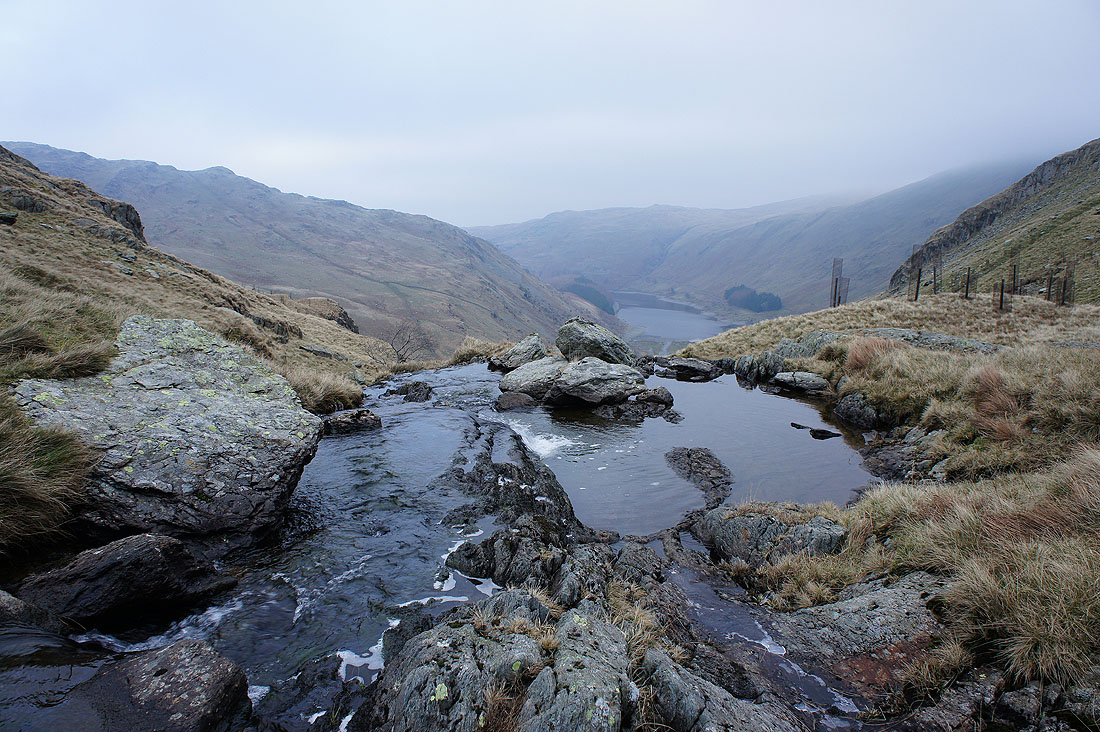
I couldn't resist taking a picture of this frozen pool as I passed it
Looking back to Low Raise
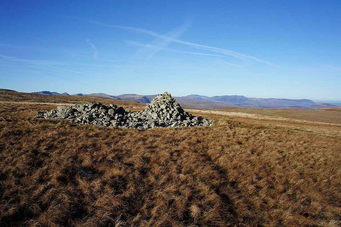
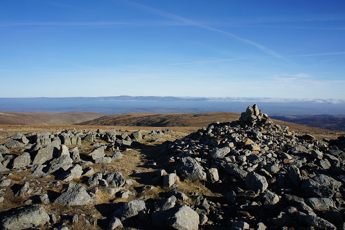
On the summit of High Raise and it's nearly six years since my last visit. The years have flown by.
The view from High Raise, starting with looking east to Cross Fell and the North Pennines
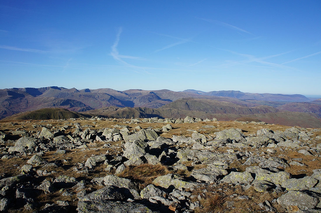
High Street, Thornthwaite Crag, Rampsgill Head, Caudale Moor and Red Screes to the south. I can see the cloud making inroads in the distance.
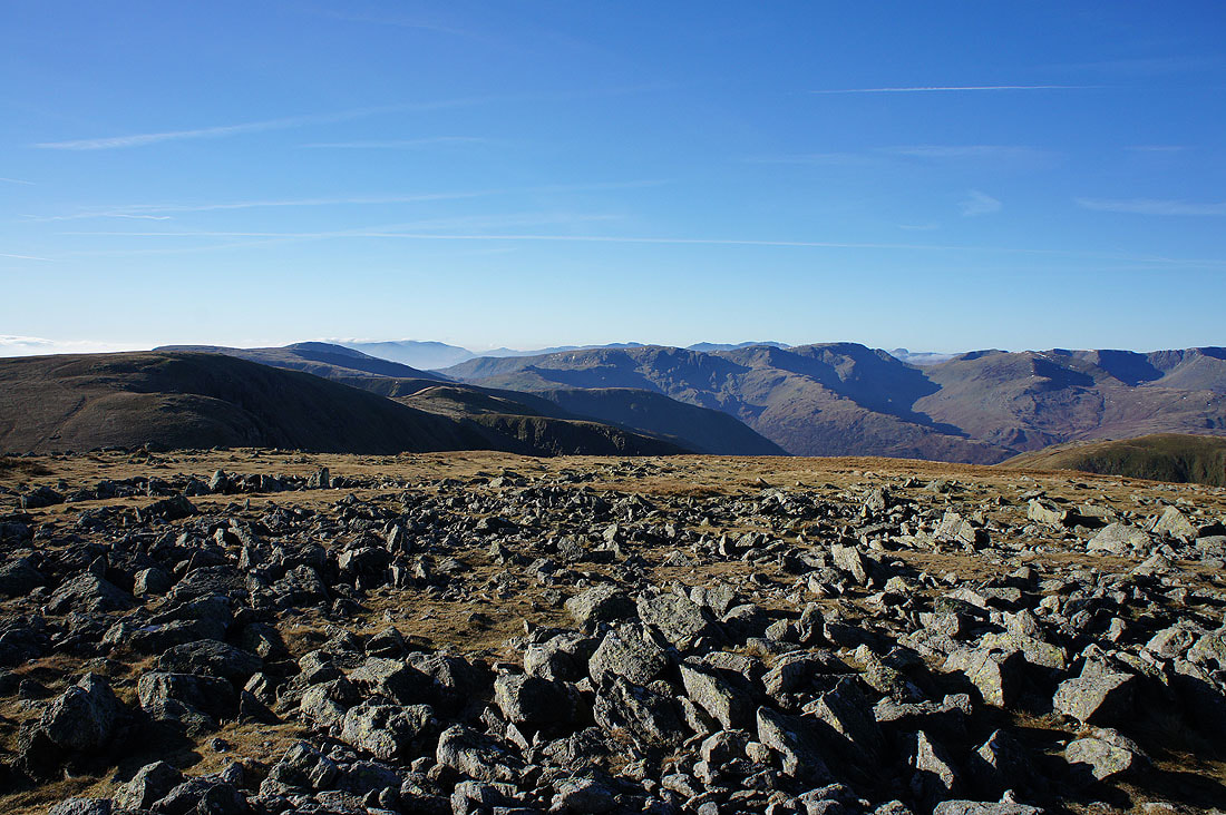
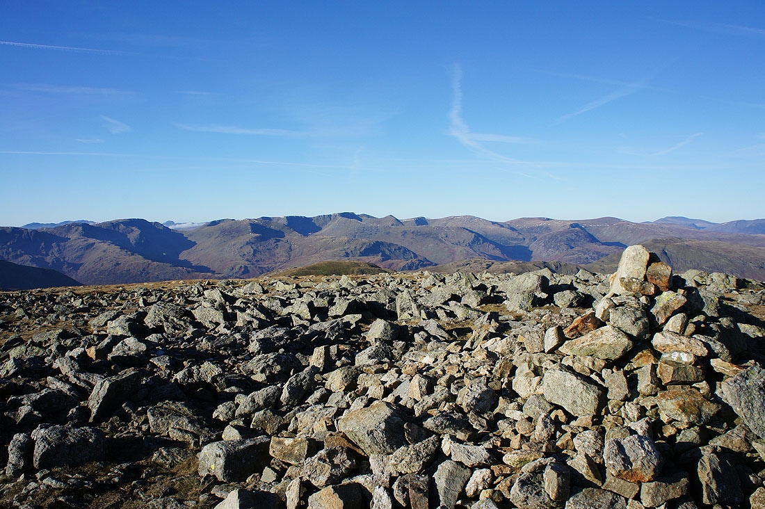
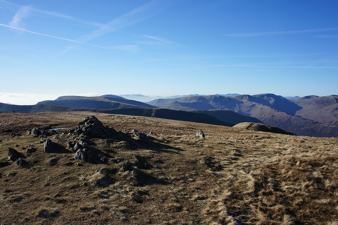
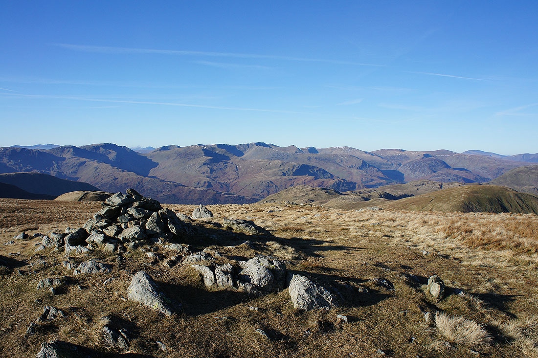
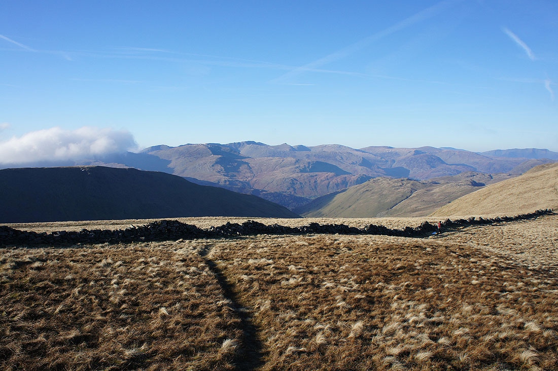
To the southwest and west; Rampsgill Head, Caudale Moor, Red Screes, Dove Crag, Hart Crag and Fairfield. I can make out Crinkle Crags, Bowfell, Scafell Pike and Great Gable in the distance beyond the nearby fells.
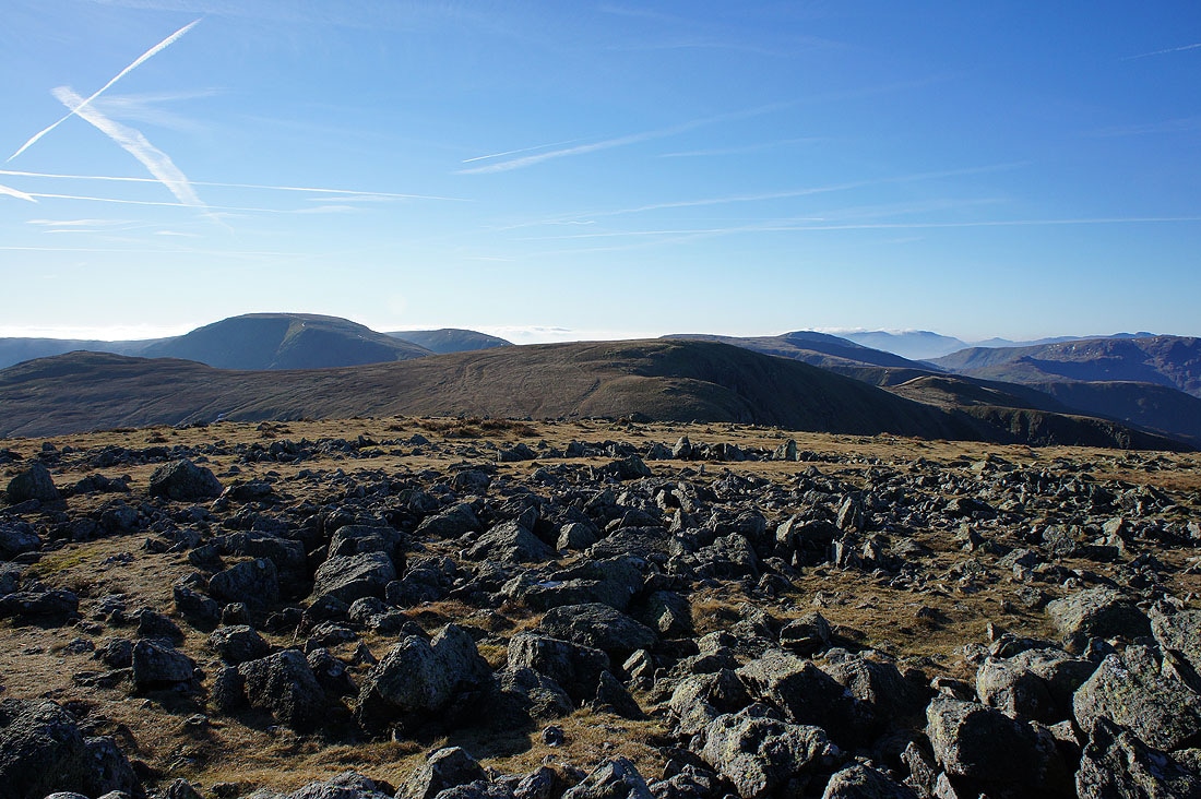
To the west and northwest; Helvellyn, the Dodds, Skiddaw and Blencathra
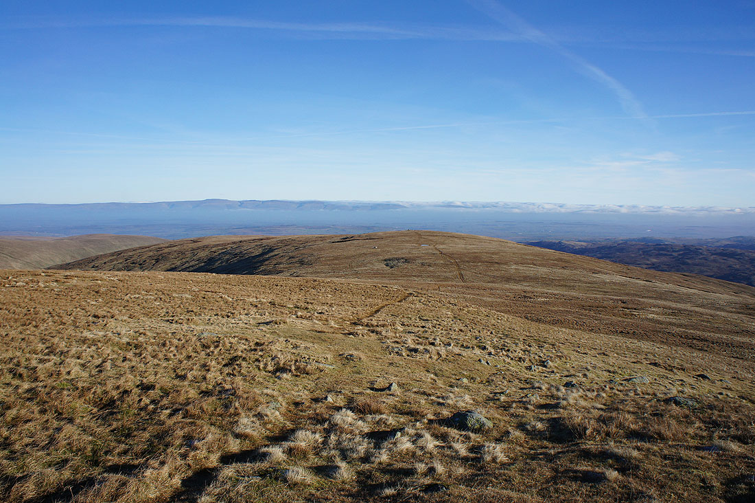
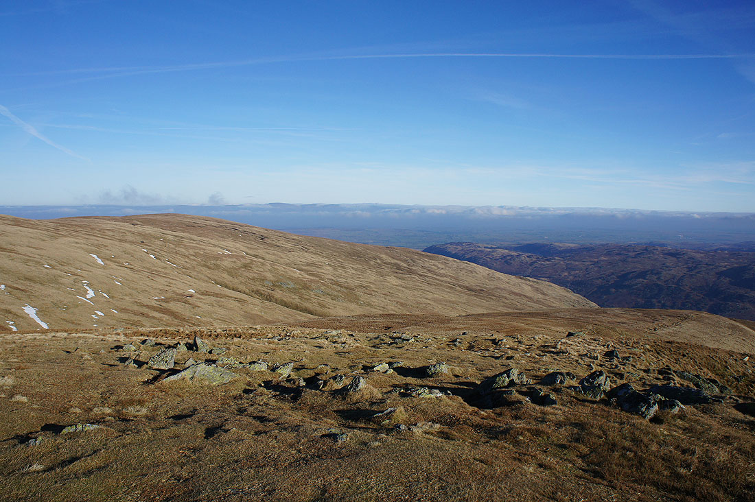
Finally, looking north to Loadpot Hill with a bit of Ullswater in view
Looking down Ramps Gill to Martindale from Rampsgill Head
Caudale Moor, Red Screes, Dove Crag, Hart Crag and Fairfield from the cairn that marks the top of Rampsgill Head
Fairfield, Helvellyn and the Dodds
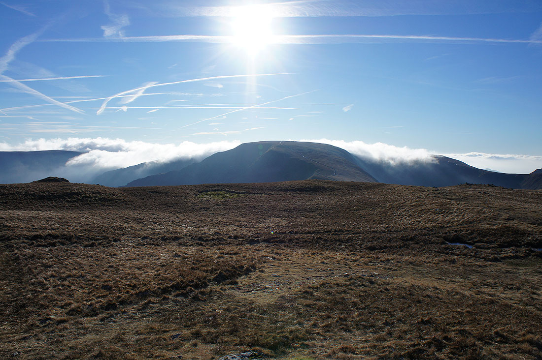
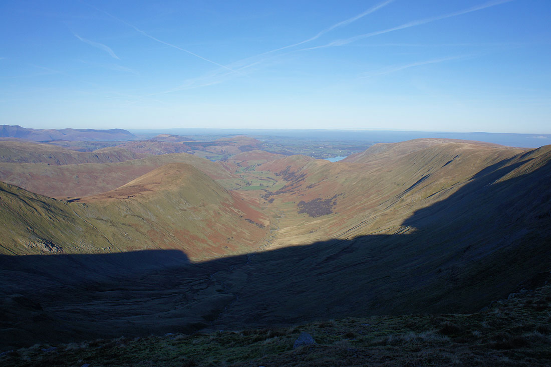
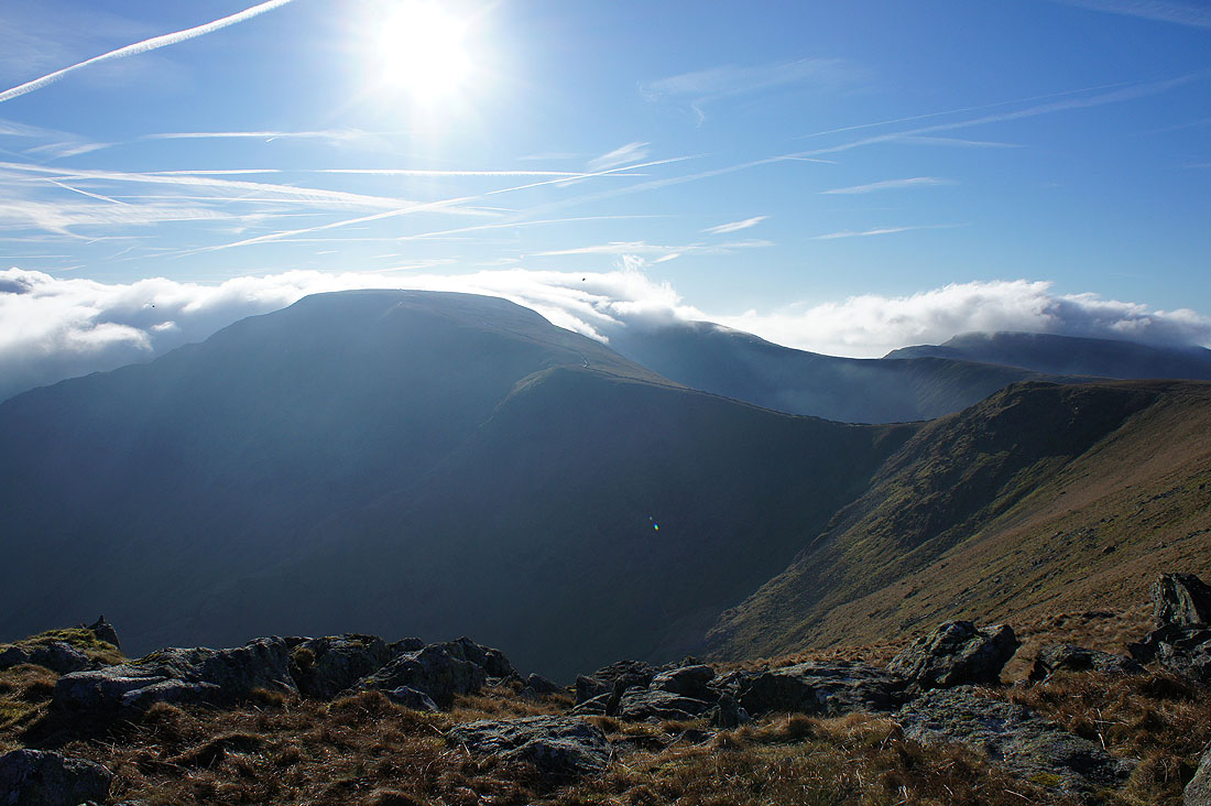
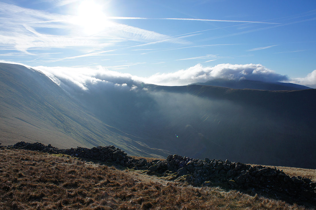
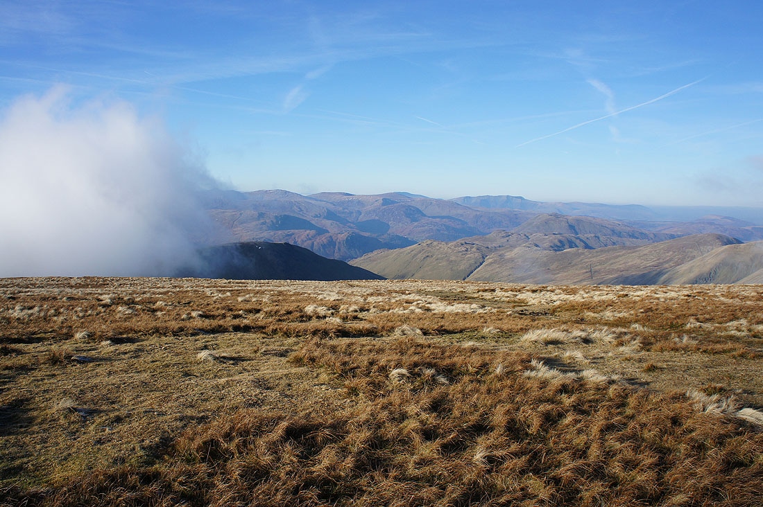
To the south cloud is flowing round the sides of High Street. At this point I was wondering what would happen. Would the cloud stay below the tops of the fells or would it just envelop them?
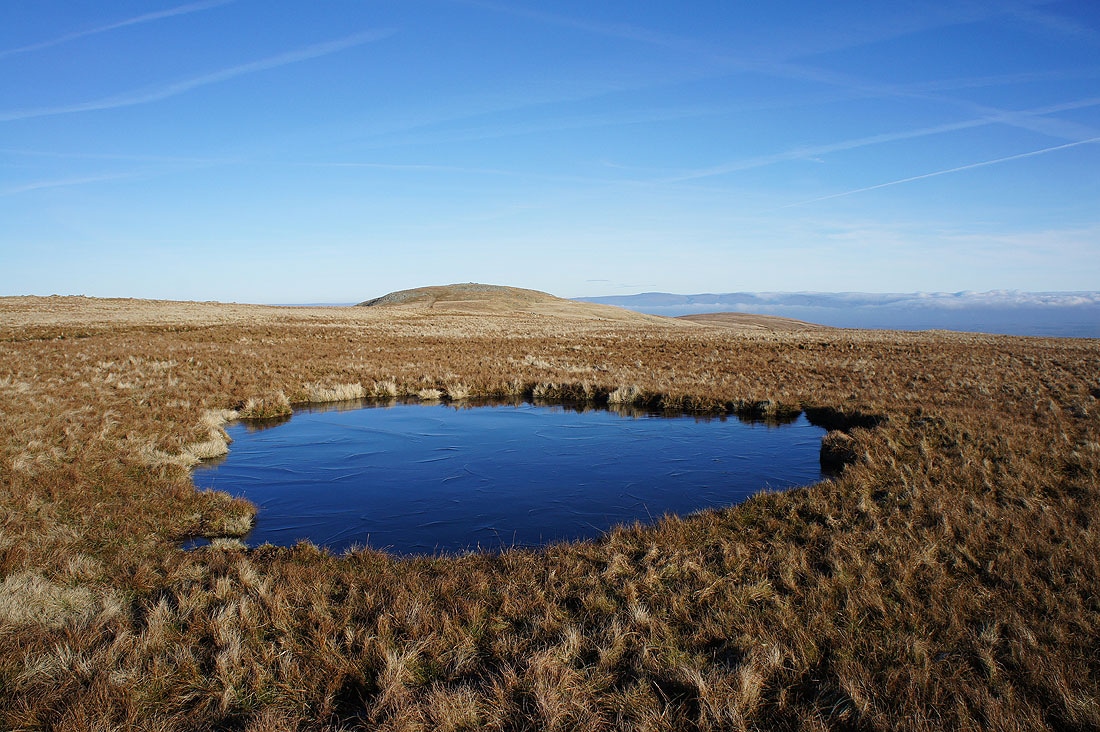
On my way to Kidsty Pike and another frozen pool I couldn't resist taking a photo of..
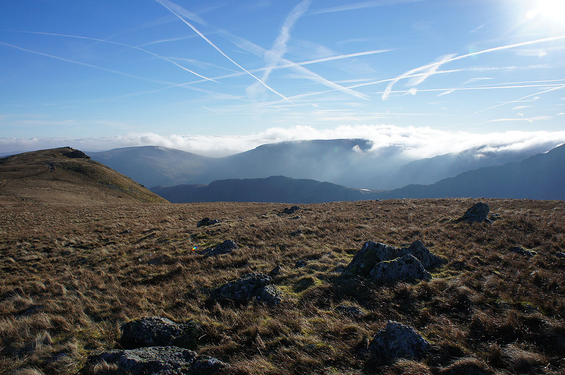
Dramatic scenery as the cloud starts to flow over the top of Harter Fell and through the Gatescarth Pass
It's time for lunch as I make it to the summit of Kidsty Pike. The view west across the Straits of Riggindale.
Far to the east the North Pennines are being hidden by the cloud
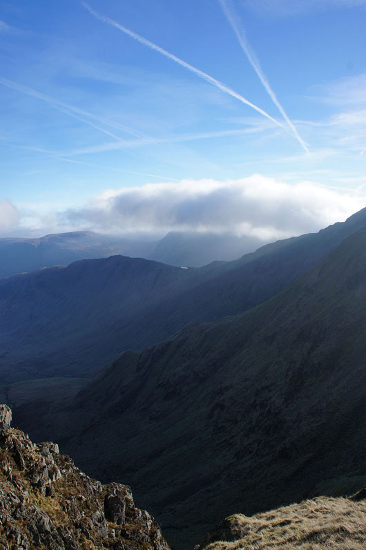
Looking down Riggindale to Haweswater
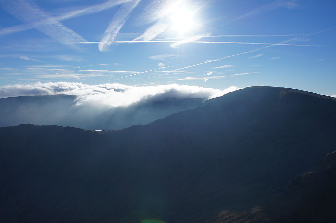
The clouds swirl around High Street..
Kidsty Pike as I head for the Straits of Riggindale
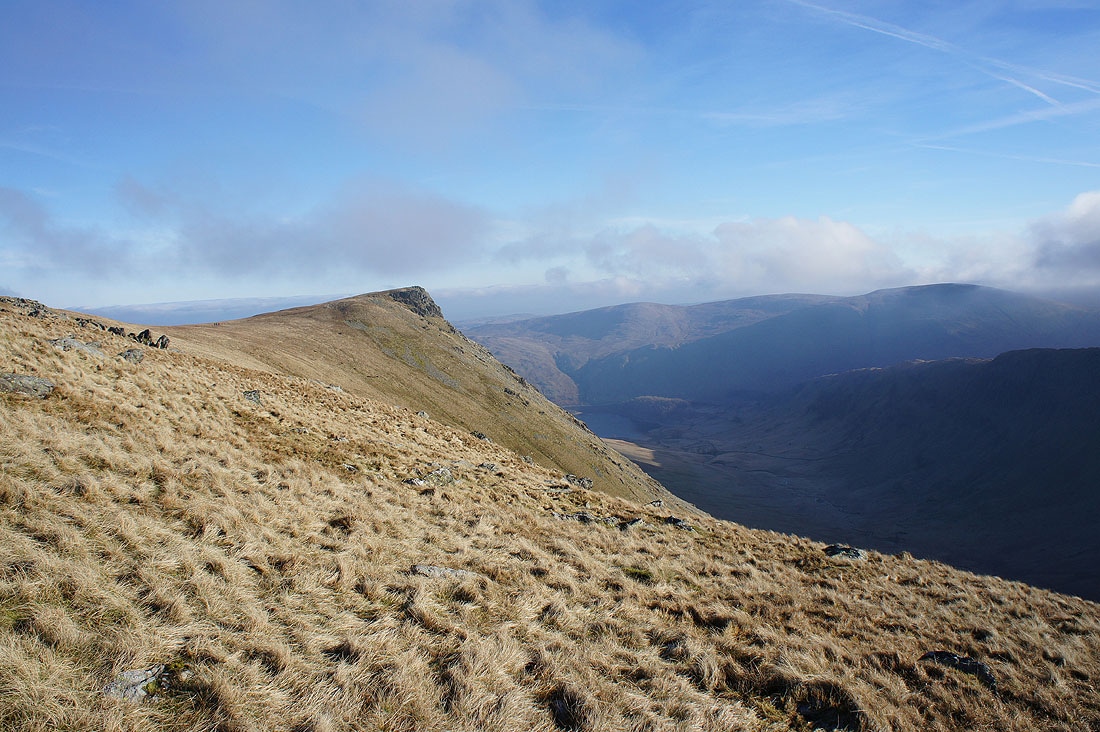
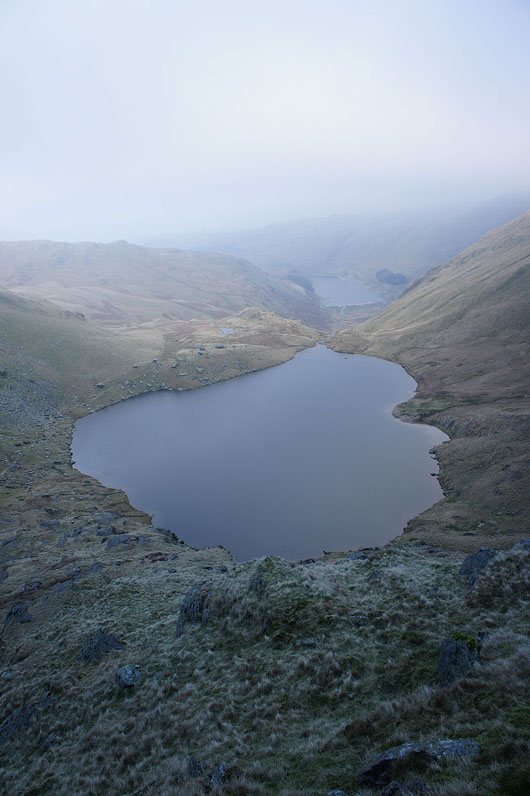
On Twopenny Crag. Looking past Short Stile to the ridge of Rough Crag, Caspel Gate Tarn and Long Stile.
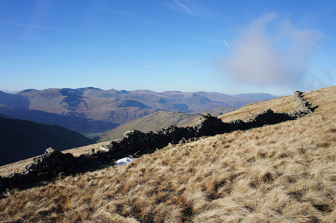
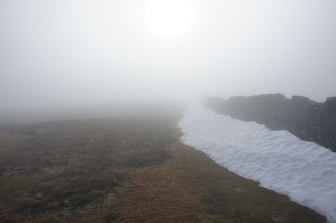
I couldn't resist taking this photo of Helvellyn, the Dodds and Blencathra with the wall running across the fellside
Looking across the valley of Hayeswater Gill to cloud covering the tops of Thornthwaite Crag and Caudale Moor
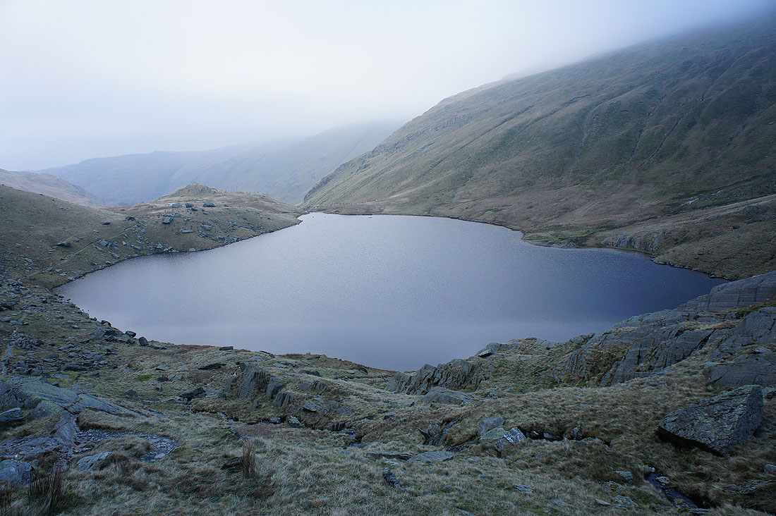
A short diversion to the top of Short Stile for a view of Riggindale and Rough Crag
Helvellyn, the Dodds and Blencathra from Short Stile
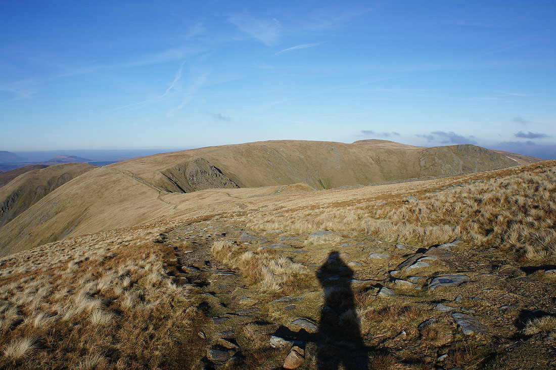
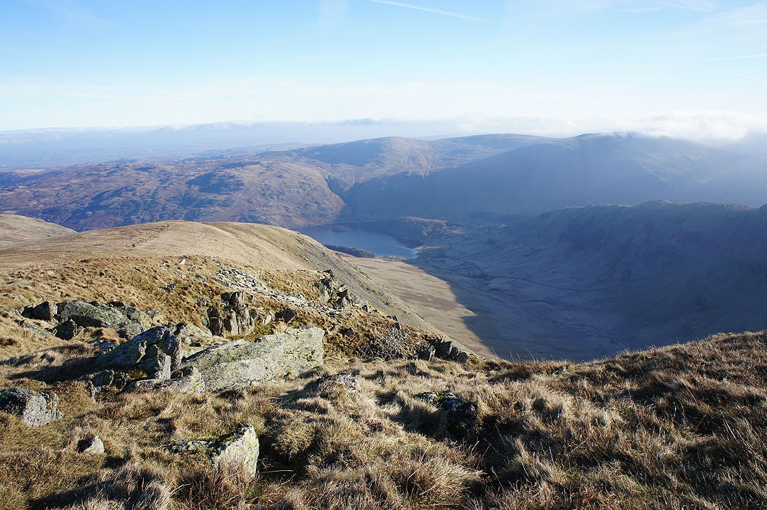
Looking back to Rampsgill Head, High Raise and Kidsty Pike as I head up High Street
A great view of Gray Crag above Hayeswater. I walked a short distance down High Street's western slope to where it steepens to get this shot.
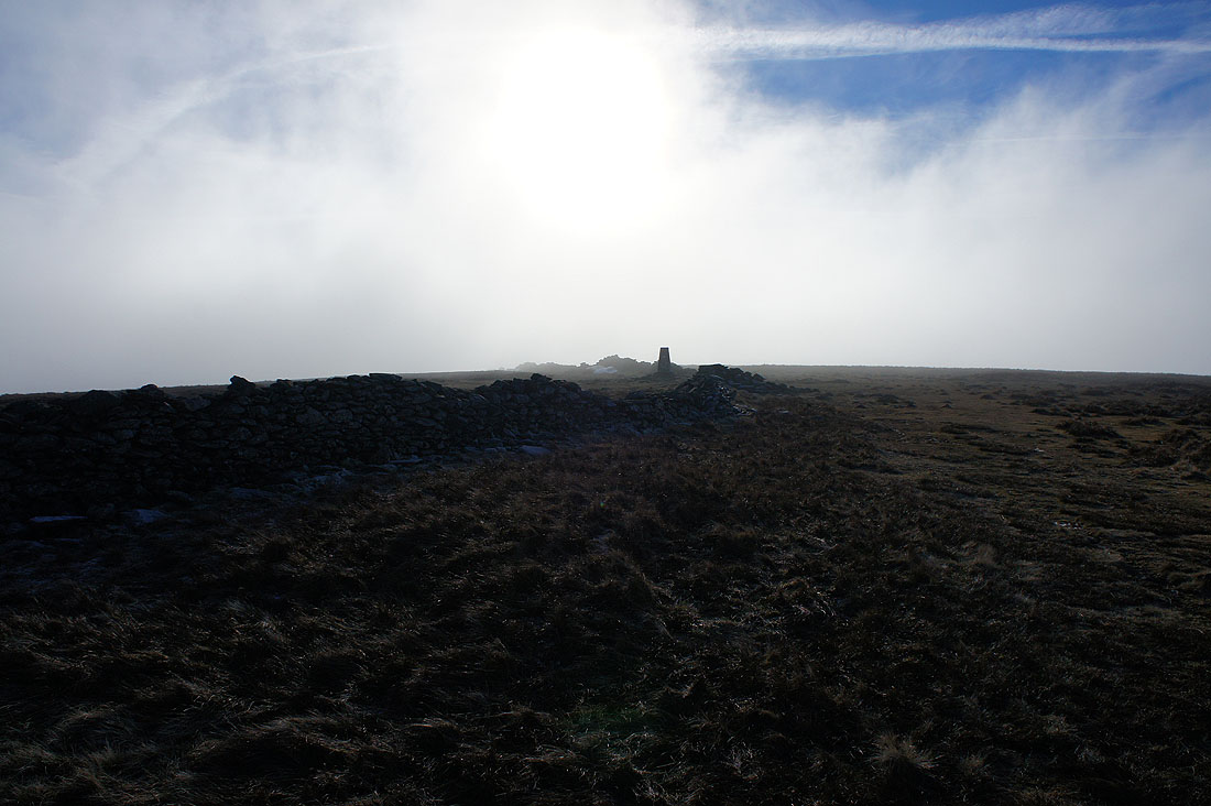
Cloud swirls around as I approach the trig point on High Street
and the view starts to become restricted as it blows over the summit
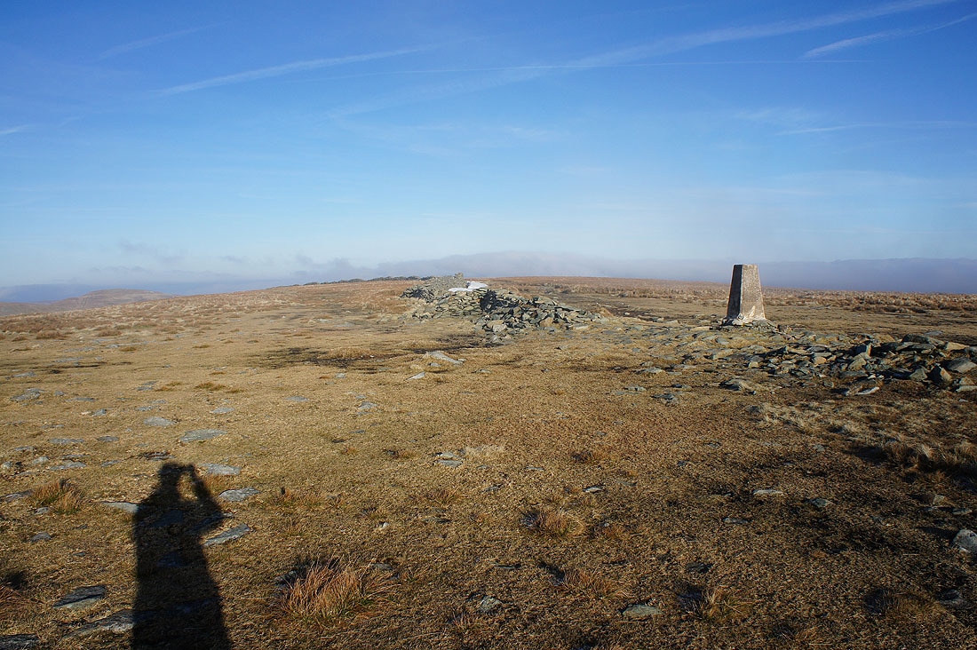
The trig point is in the clear but not for long
Minutes later and there's a real pea souper
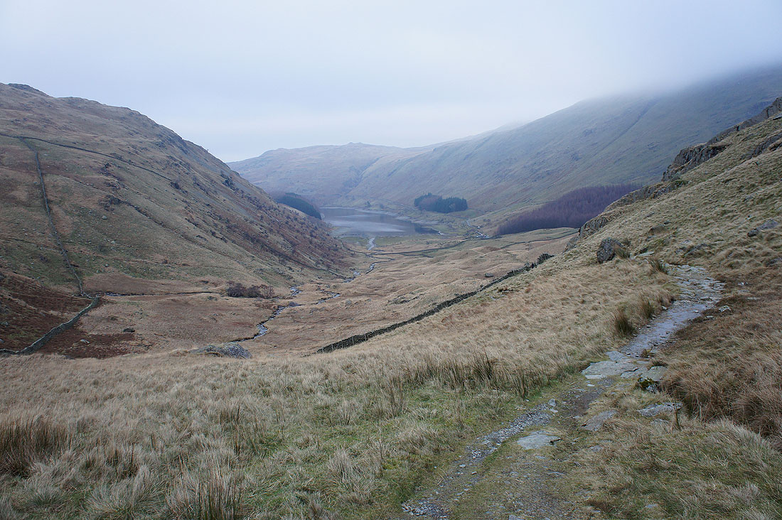
Below the cloud as I reach the Nan Bield Pass
Small Water..
Crossing Small Water Beck
Mardale Head and the end of the walk is in sight