21st January 2023 - Boulsworth Hill
Walk Details
Distance walked: 9.2 miles
Total ascent: 1767 ft
OS map used: OL21 - South Pennines
Time taken: 6 hrs
Route description: Keighley Road, Trawden-Stunstead Road-Higher Stunstead-Bracken Hill Farm-Wycoller-Wycoller Hall-Pennine Bridleway-Pot Brinks Moor-Great Saucer Stones-Boulsworth Hill-Abbot Stone-Pennine Bridleway-Alder Hurst Head-Oaken Bank-Pasture Springs Farm-Lanehouse, Trawden-Trawden Brook-Far Wanless Farm-Near Wanless Farm-Higher Stunstead-Stunstead Road-Keighley Road, Trawden
After a walk in the Lake District yesterday I'm much closer to home for today's walk in the snow. This snow was fresh, having fallen in the past couple of days in the form of showers, which places not too far to the north and east missed out on. I decided to make the short drive to Trawden for a walk up Boulsworth Hill. Given how cold and icy it was first thing this morning I didn't want to risk driving up to the car park above Wycoller or the road past the Coldwell Reservoirs, which is usually where I start a walk up Boulsworth Hill from. The forecast was for a fine and cold winter's day, though I didn't expect it to stay as sunny as it was when I set off in the morning. A bit of low cloud developed during the afternoon but it didn't really spoil things, and I enjoyed great views of snow covered moors.
From where I parked at the bottom of Keighley Road in Trawden I briefly walked up the road, took Stunstead Road on the right, and followed it up to its end at Stunstead House. I went through the gate at the end of the road, took the track to Higher Stunstead, then the footpath east across fields to Bracken Hill Farm and down to the road into Wycoller. I walked down into and through the hamlet and across the packhorse bridge, then took the Pennine Bridleway east along the track by Wycoller Beck and above Smithy Clough. I kept on the Pennine Bridleway when it turned right and made its way southwest to cross Turnhole Clough and run above Saucer Hill Clough until it descended and reached the track to Mean Moss Farm. Here I left it behind and took to the open moor, following a path up Pot Brinks Moor to Great Saucer Stones. After a stop for lunch and to take in the view I made my way across the moor to the trig point on the top of Boulsworth Hill. I then made my way down by the path past the Abbot Stone and back to the Pennine Bridleway, which I briefly walked west along to reach a footpath on the right after crossing the ford over Will Moor Clough. I followed this footpath north to Alder Hurst Head, then down to Oaken Bank, from where I took a track up to Pasture Springs Farm, and a footpath on the right down through fields to Lanehouse in Trawden. I crossed the road at a bus stop, briefly walked down a cobbled lane, then took a footpath on the right down to and across Trawden Brook, then up to Far Wanless Farm. From Far Wanless Farm I followed the footpath north to Near Wanless Farm, then the track to Higher Stunstead, from where I retraced my steps to where I was parked on Keighley Road.
Route map
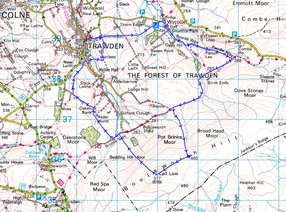
© Crown copyright. All rights reserved. License number PU 100034184.
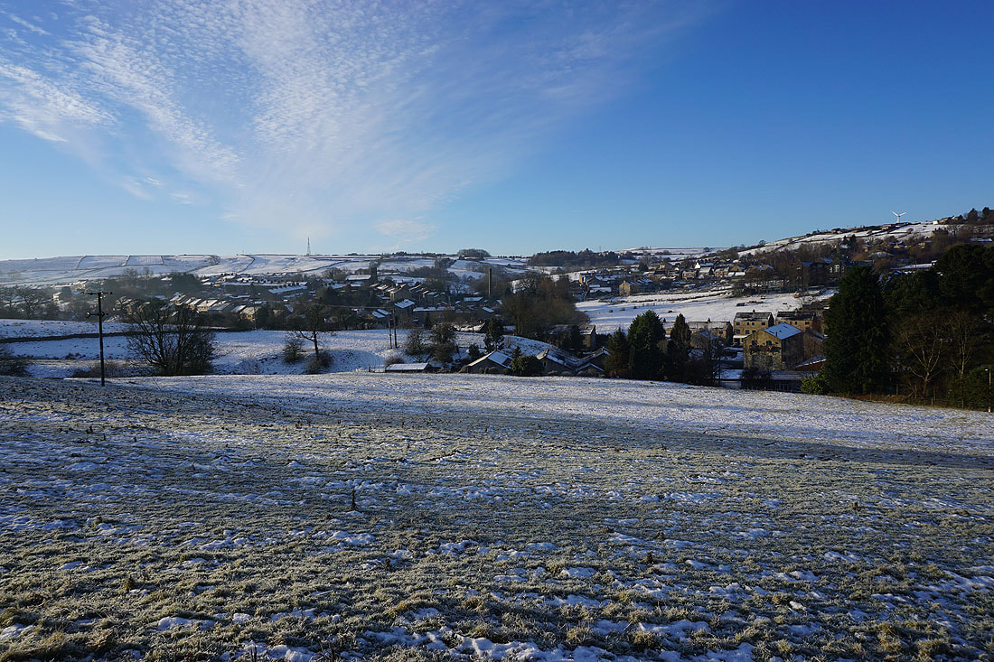
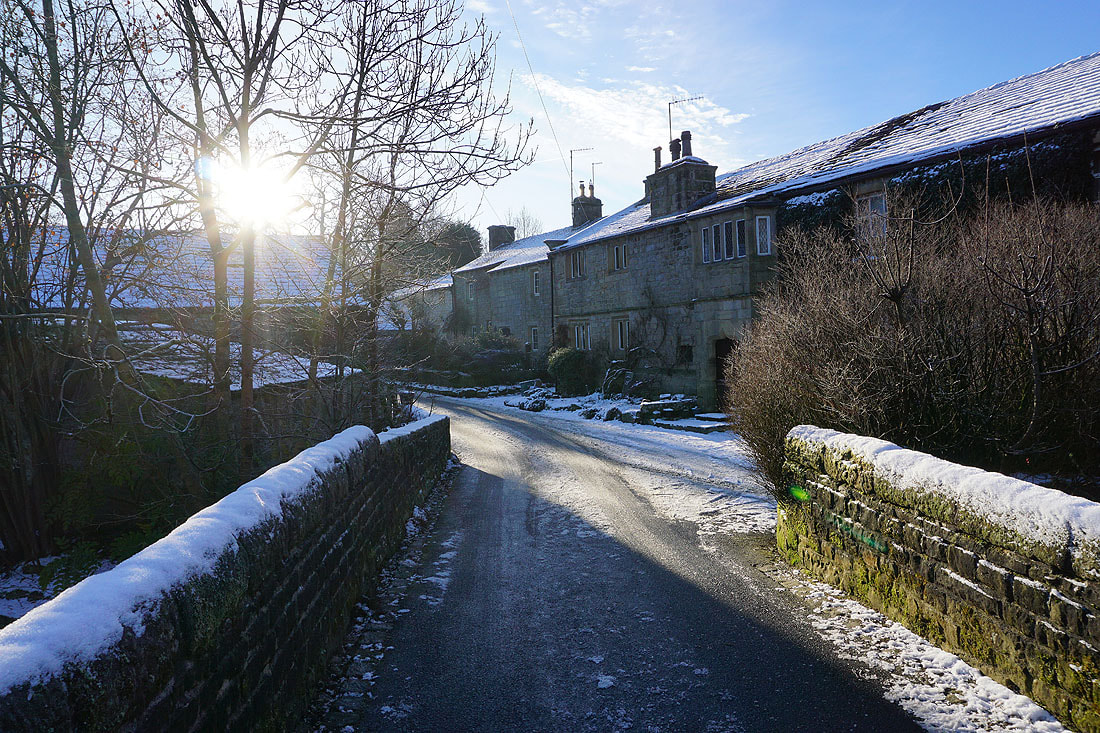
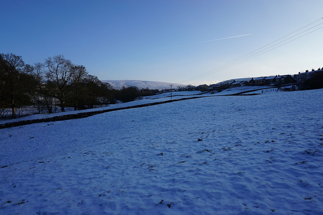
The snow covered roofs of Trawden..

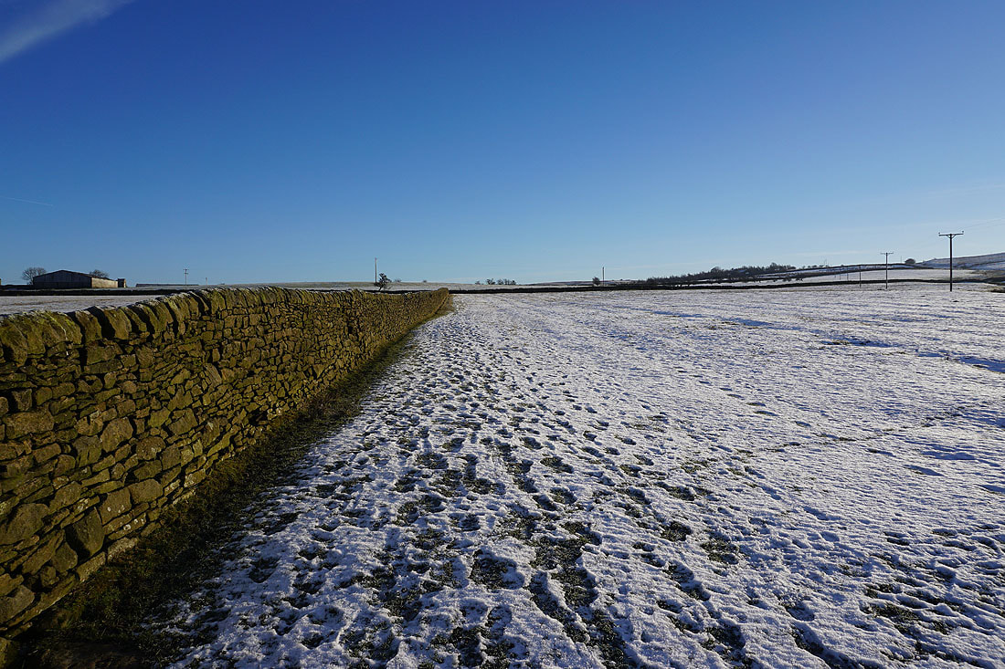
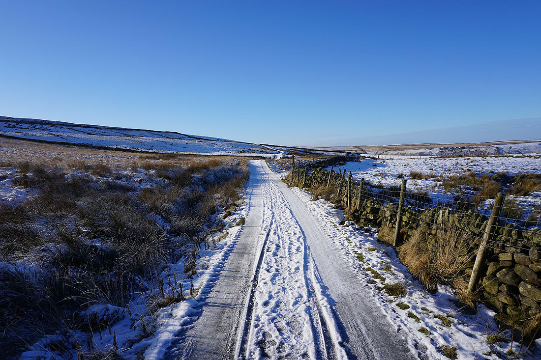
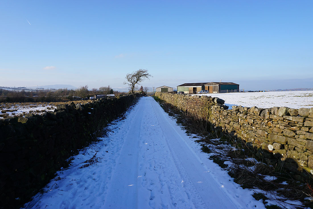
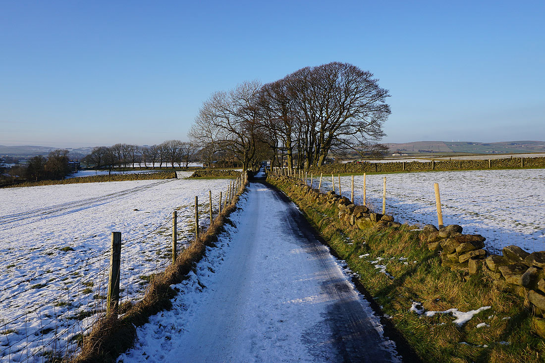
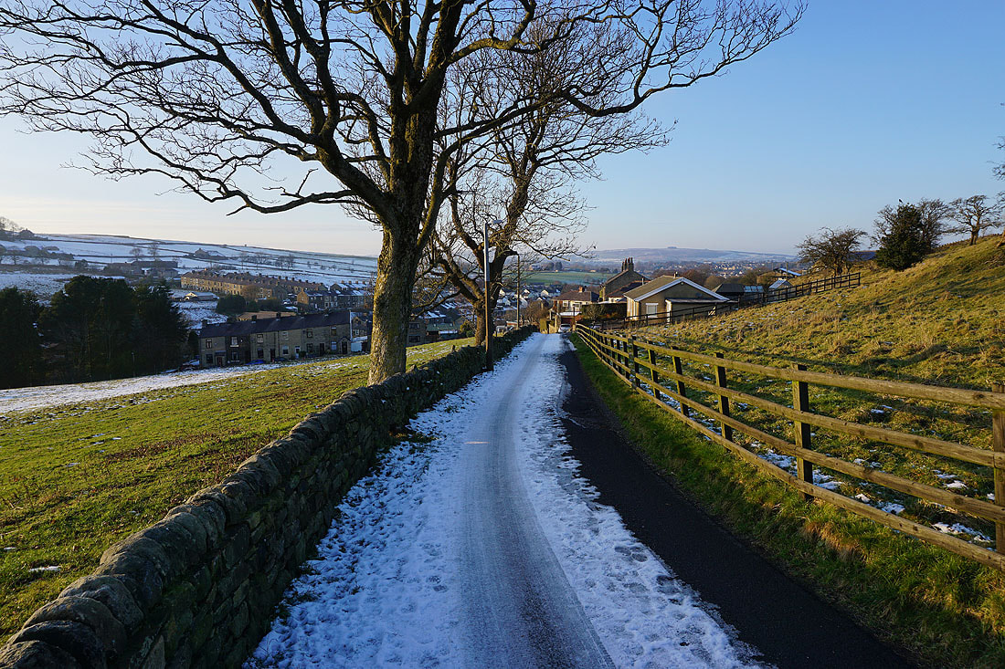
..as I walk up Stunstead Road to Stunstead House
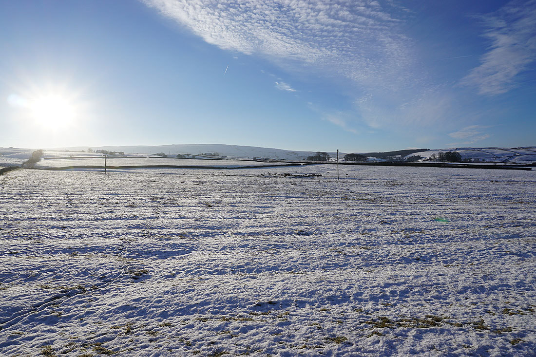
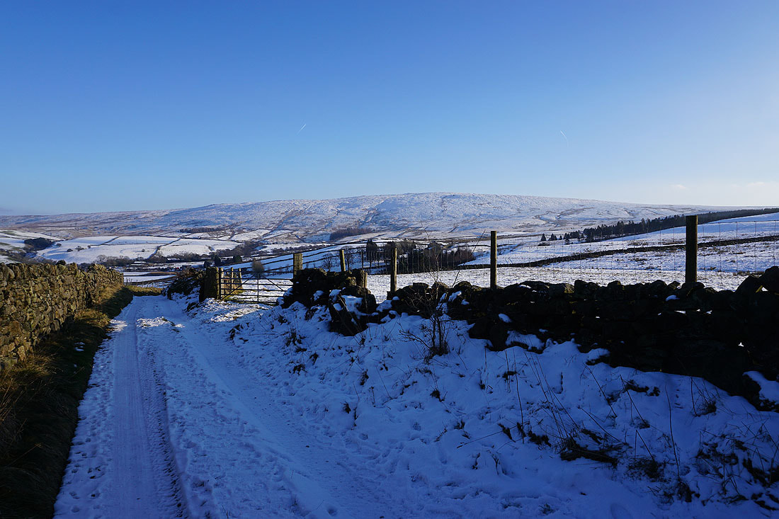
From the end of Stunstead Road I take a footpath east across fields towards Wycoller
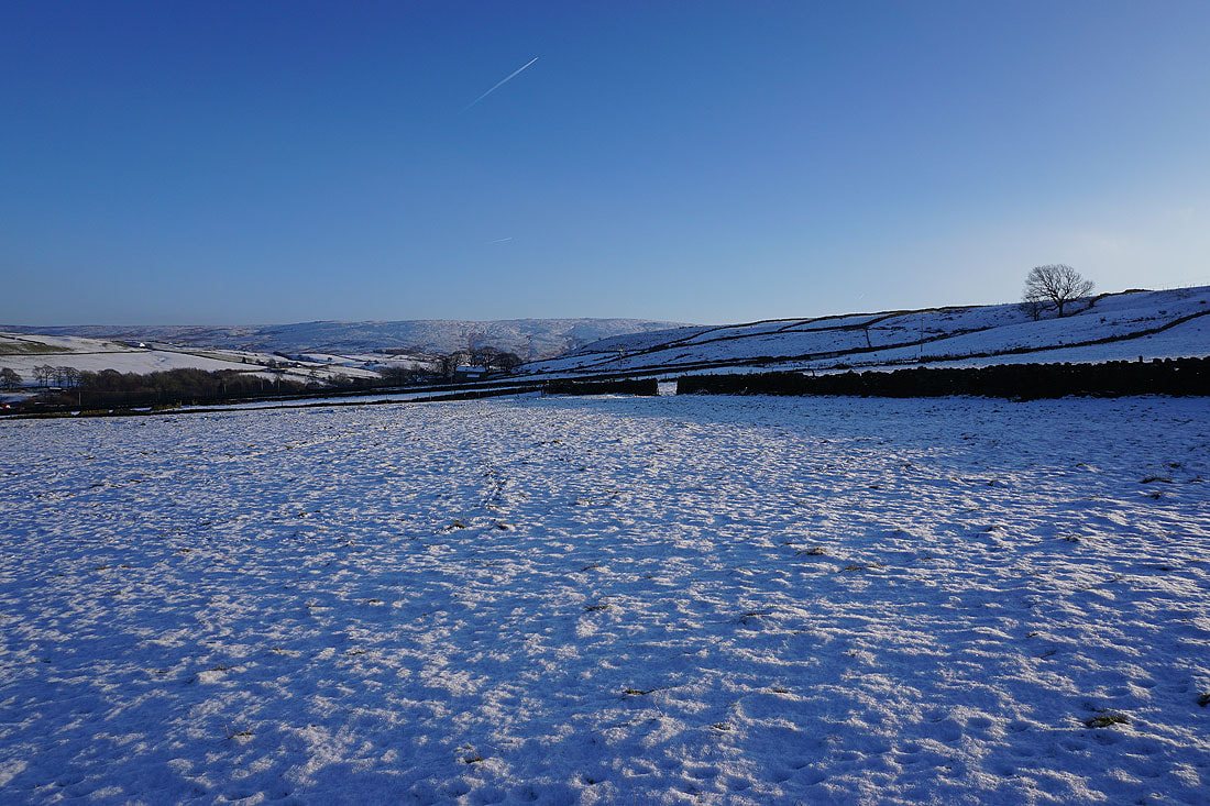
To my right, snowy slopes rise to Boulsworth Hill..
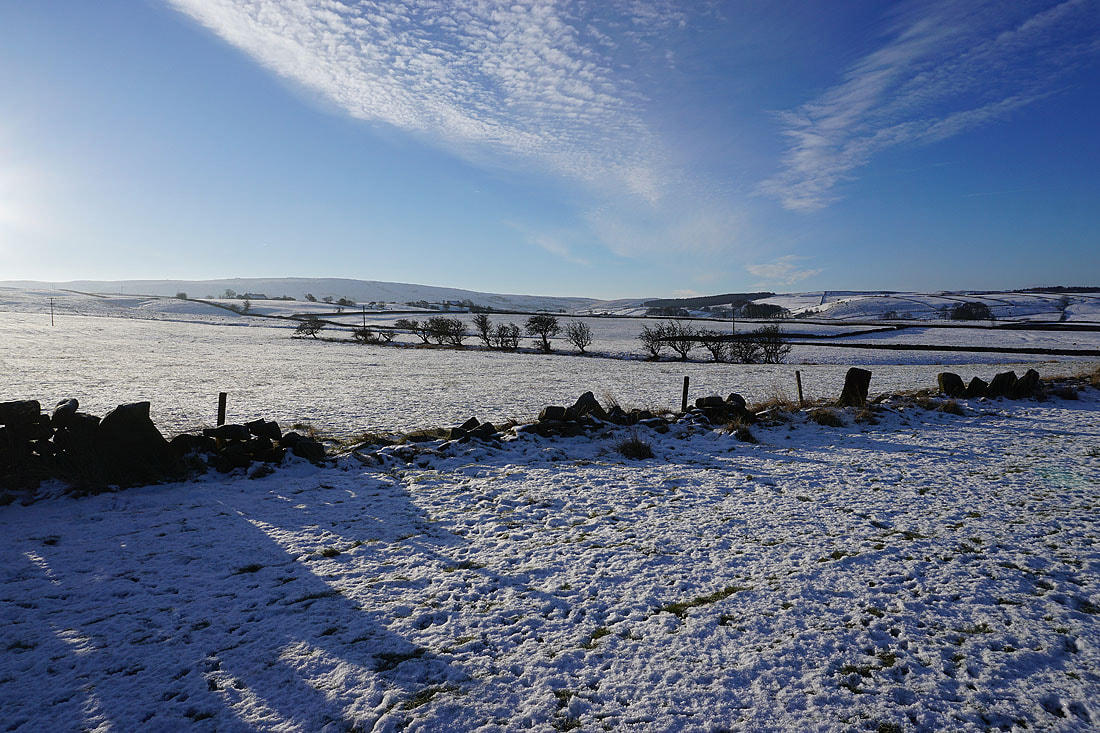
and behind me, Pendle Hill in the distance
Heading down to Bracken Hill Farm..
Making my way through the hamlet of Wycoller
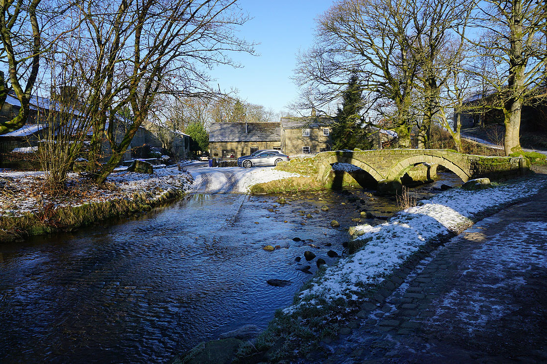
Wycoller Beck, and the packhorse bridge over it
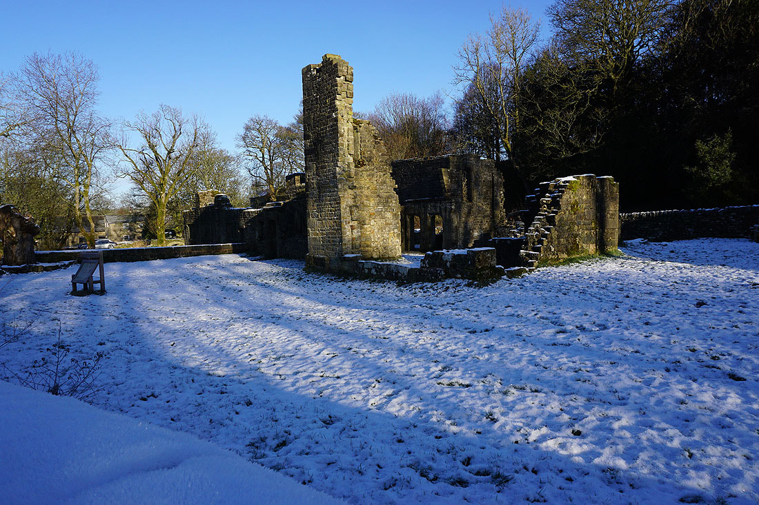
The ruins of Wycoller Hall
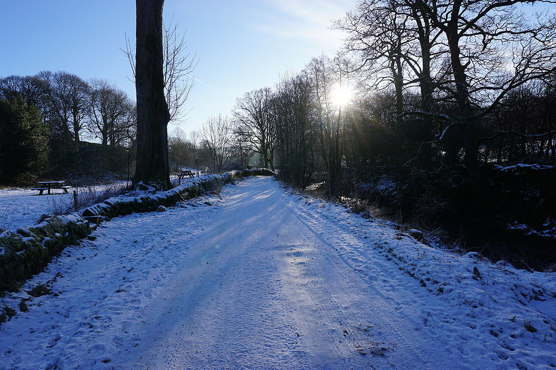
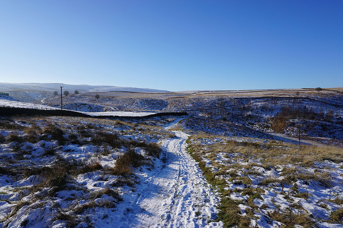
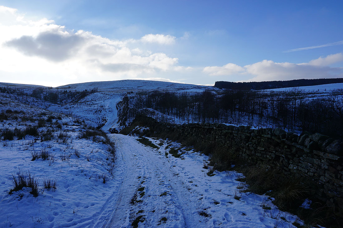
From Wycoller I follow the Pennine Bridleway up Smithy Clough..
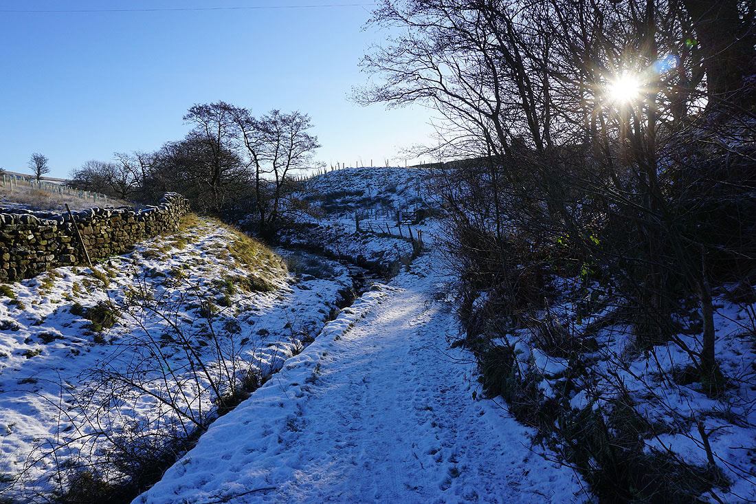
Snowy slopes rise to Boulsworth Hill
Nearing the top of Smithy Clough..
..and looking back to see Pendle Hill in the distance
On the Pennine Bridleway west to Turnhole Clough
Looking down Wycoller Dean to my right
The Pennine Bridleway heads down to and across Turnhole Clough
and then west above Saucer Hill Clough
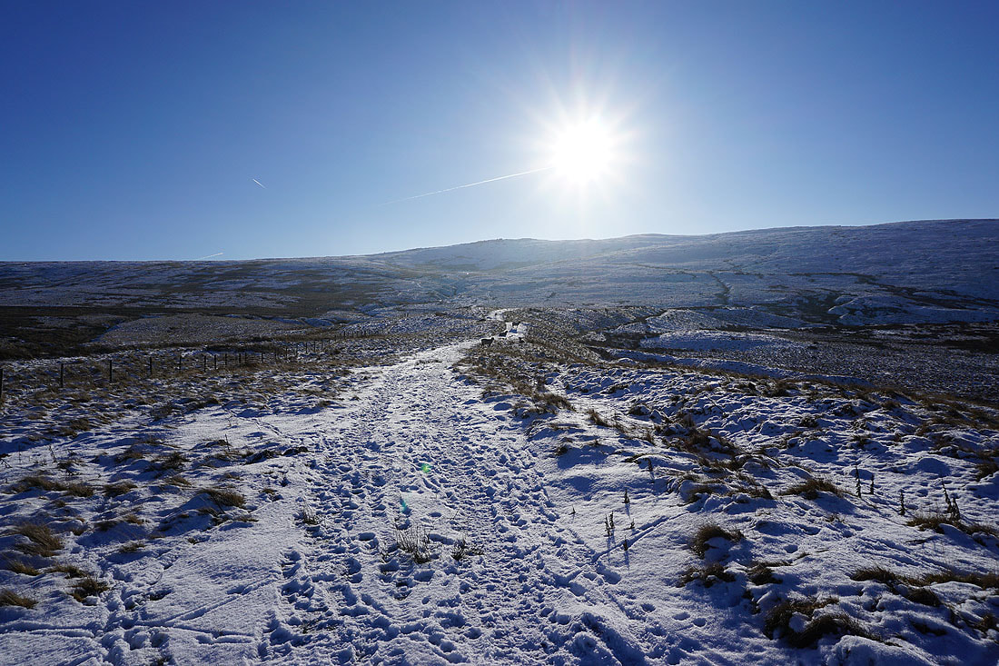
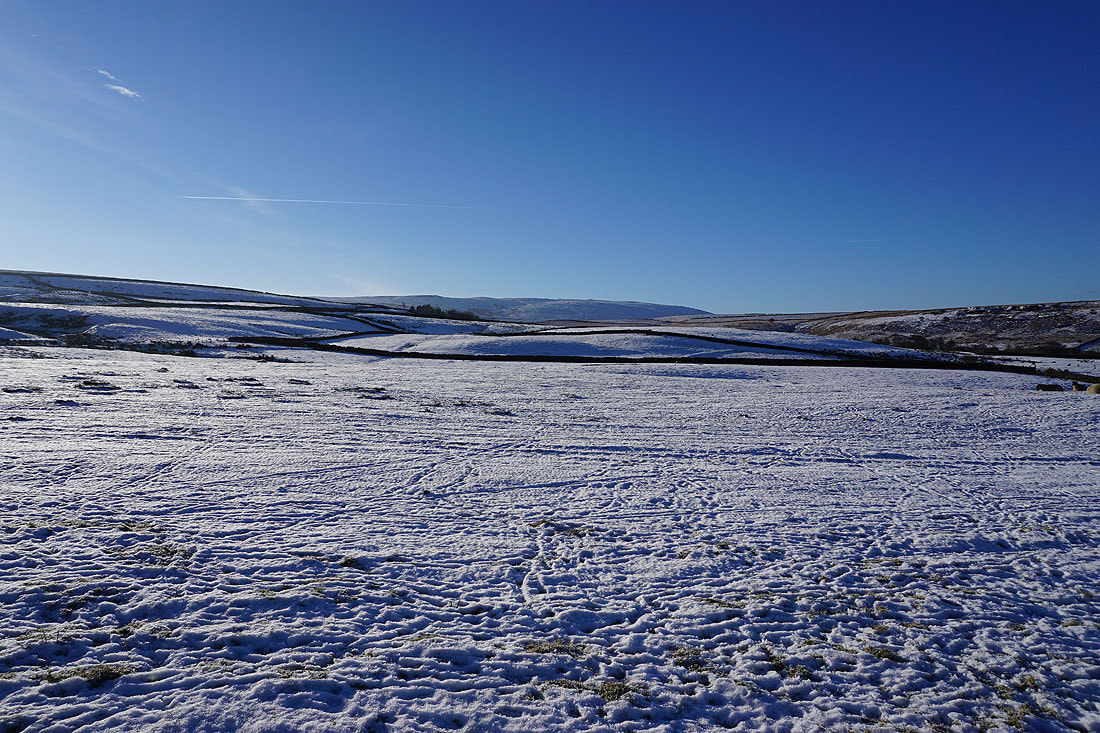
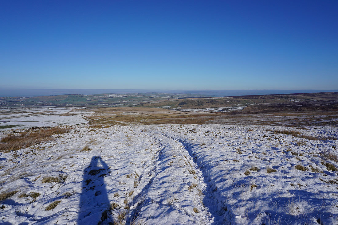
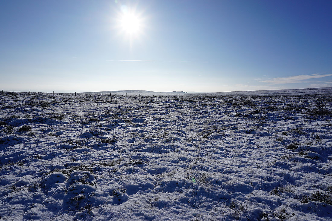
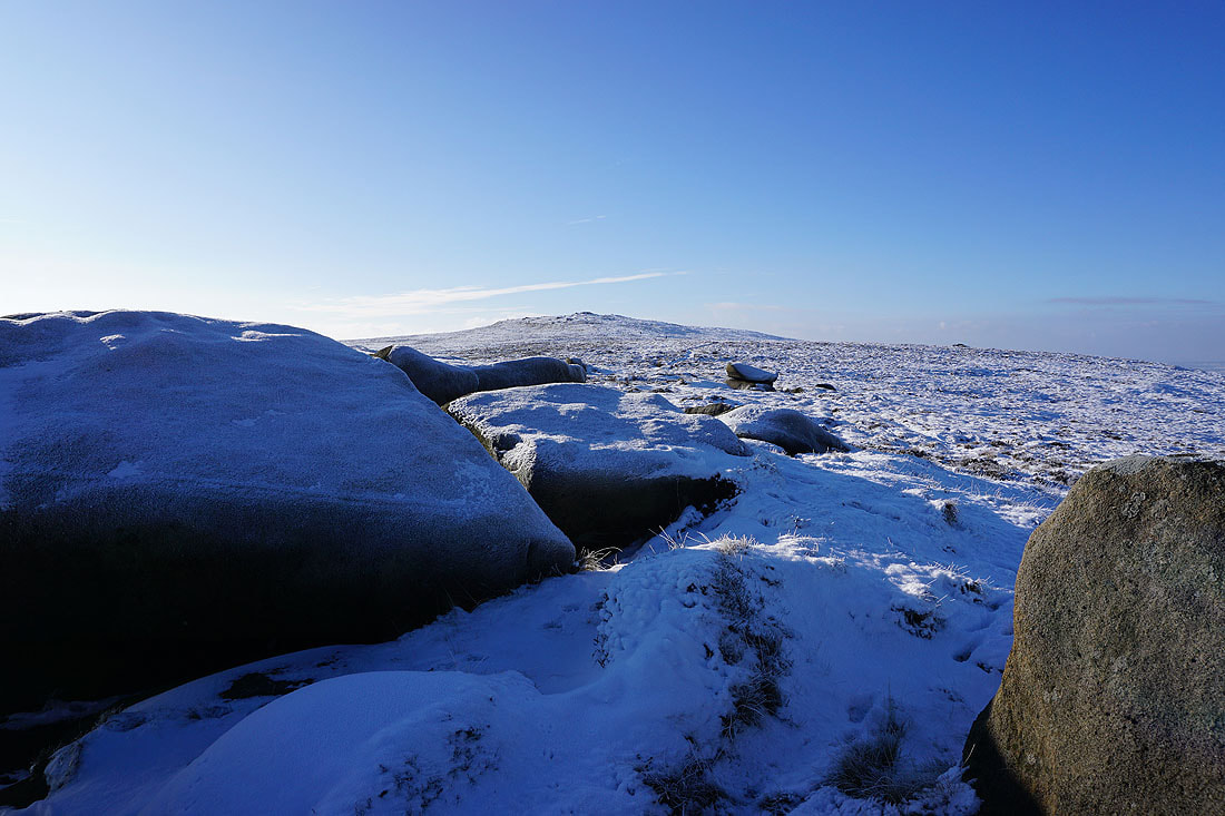
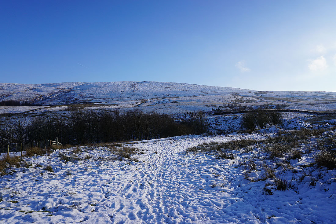
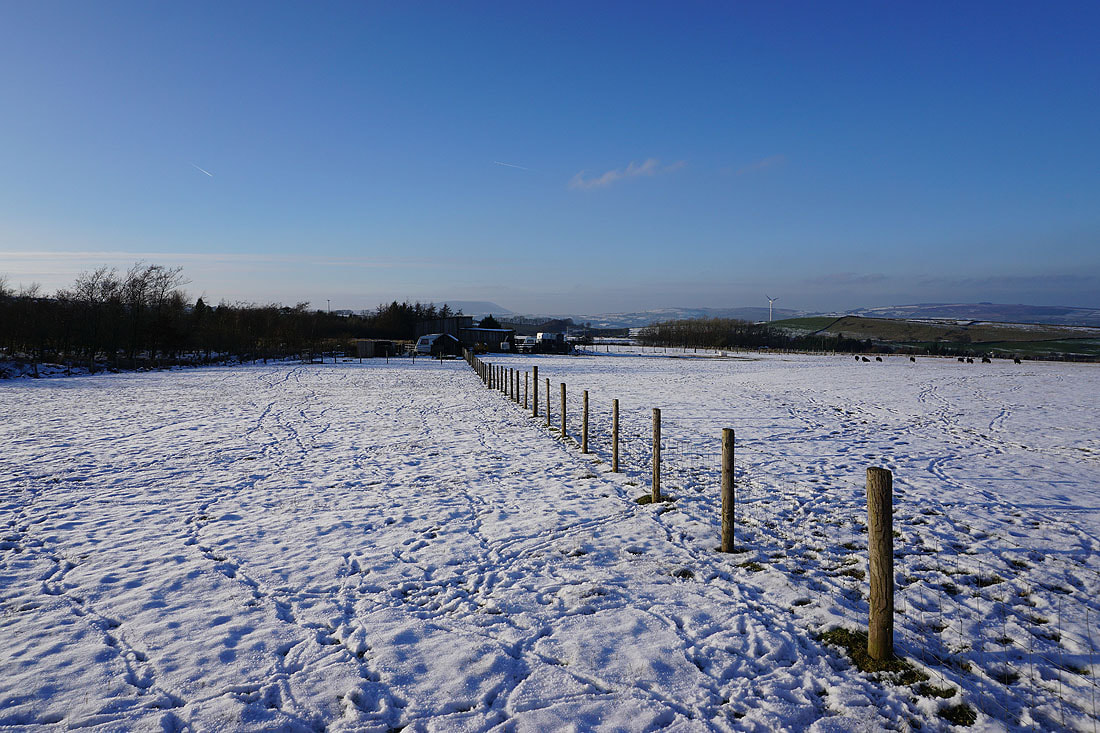
The Pennine Bridleway is left behind for an ascent of Pot Brinks Moor to Great Saucer Stones
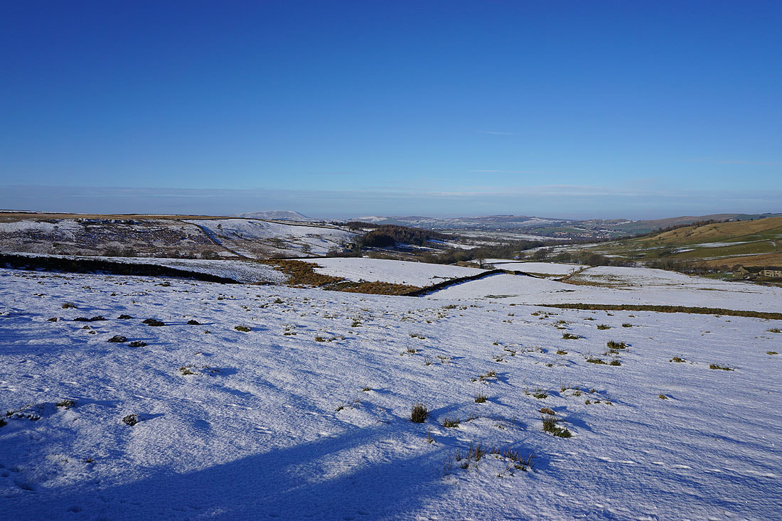
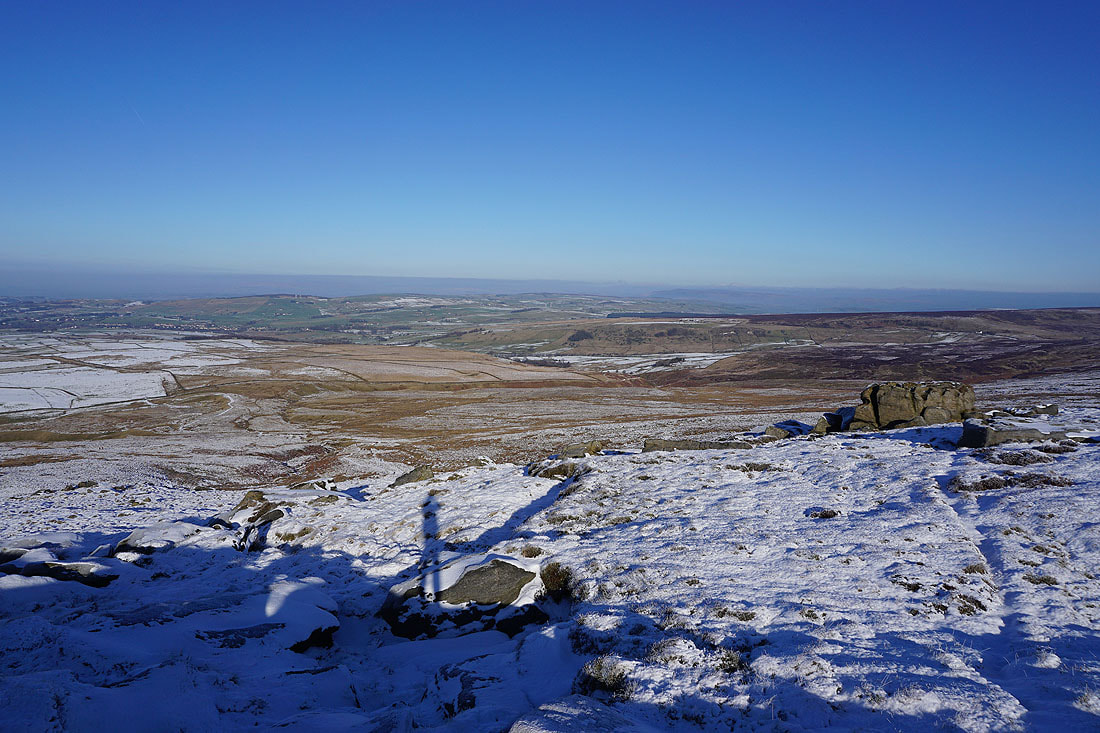
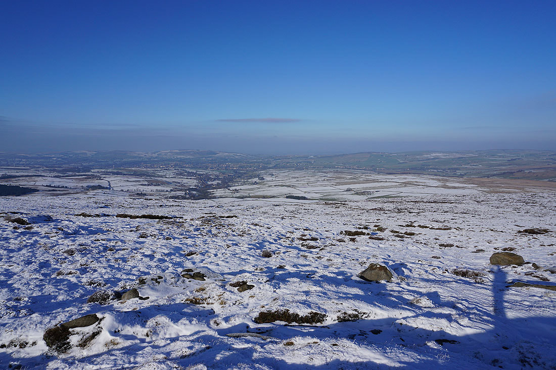
Great views across snow covered slopes to Pendle Hill as I head uphill...
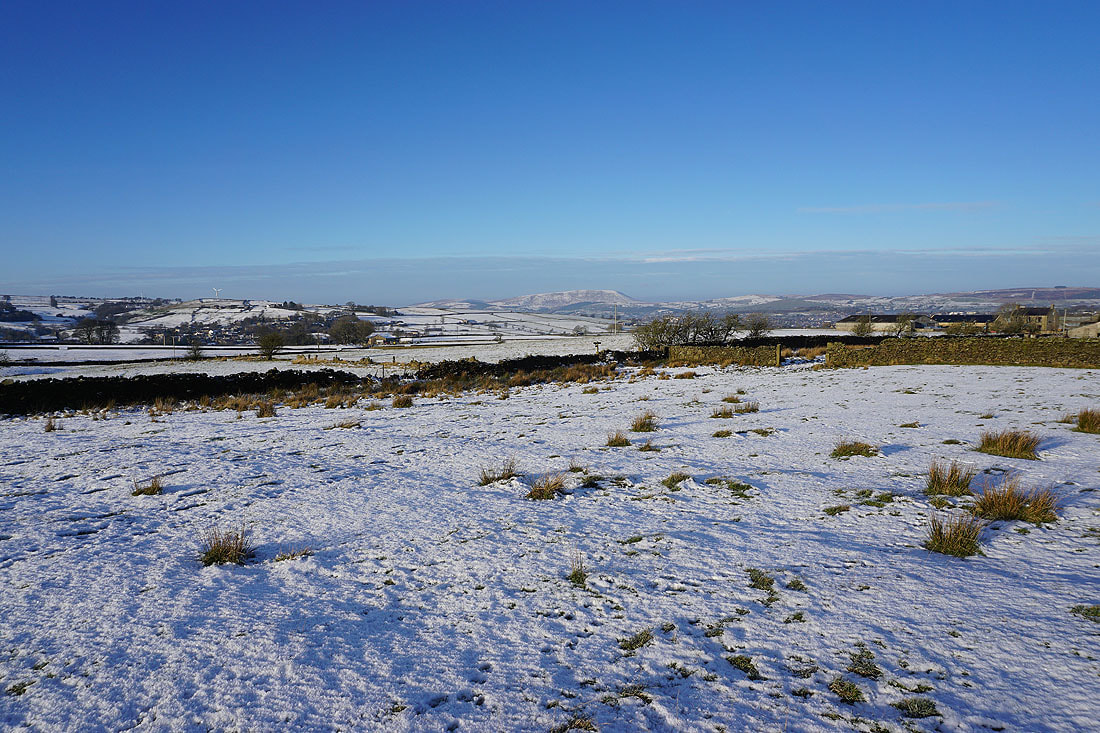
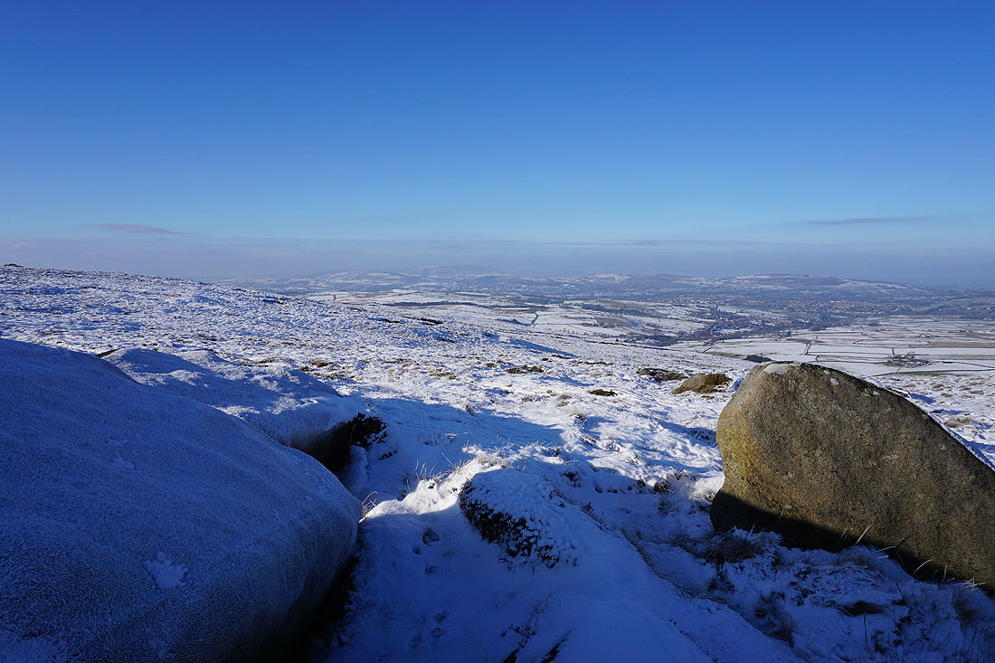
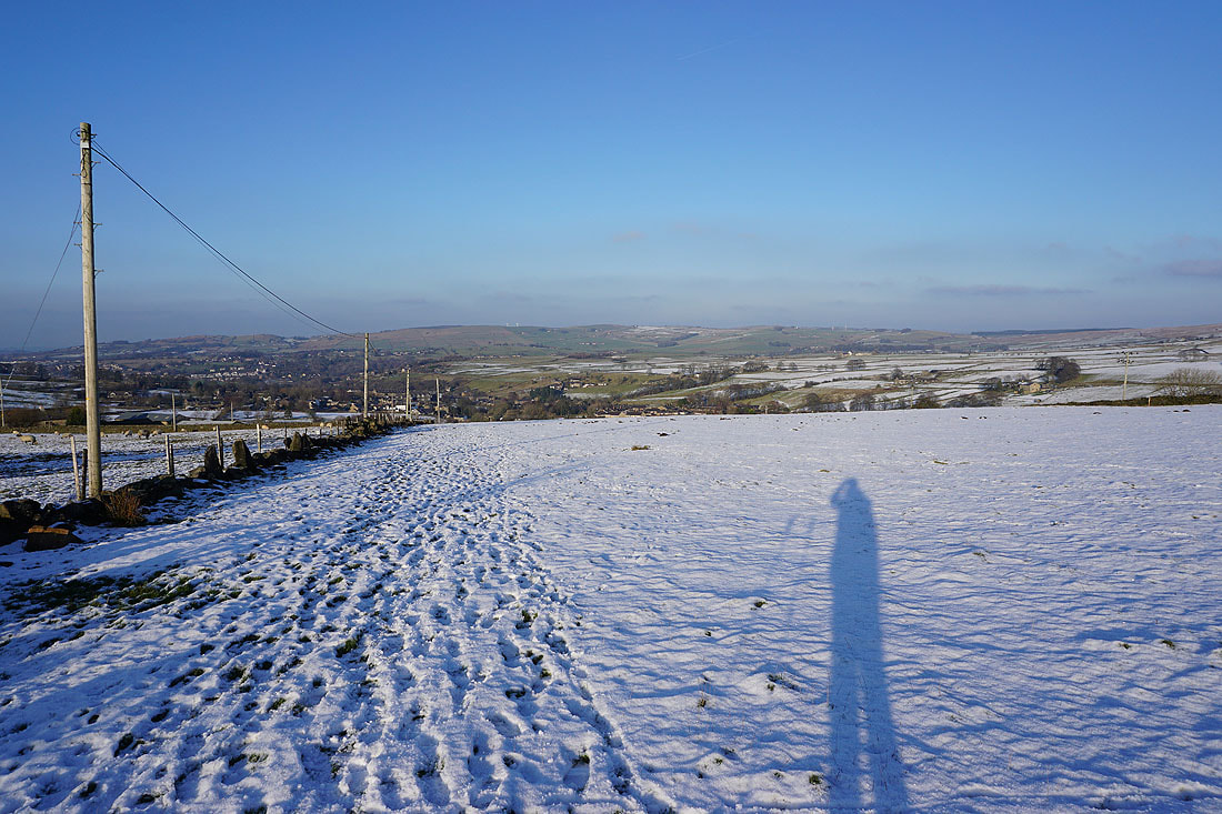
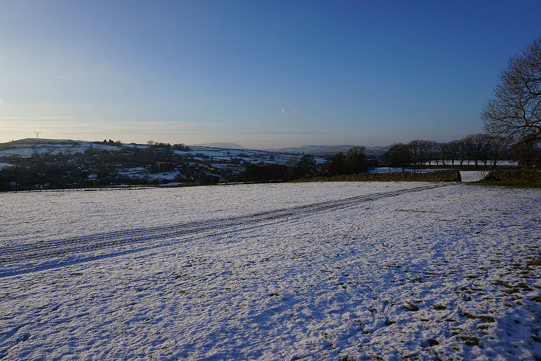
Looking north to Kelbrook Moor, Pinhaw Beacon, and Combe Hill. The almost snowless south facing slopes and lack of cover from the patchy nature of the snowfall is quite a contrast to where I am.
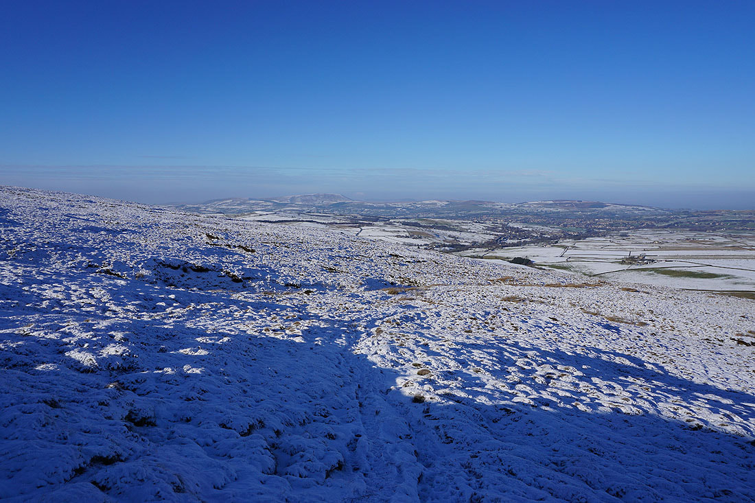
Pendle Hill, Twiston Moor, Burn Moor, and White Moor in the distance as I near the top of the climb
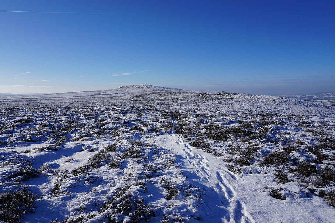
The summit of Boulsworth Hill isn't too far away, but first I'll visit Great Saucer Stones
On Great Saucer Stones. Looking east to Wolf Stones and Crow Hill.
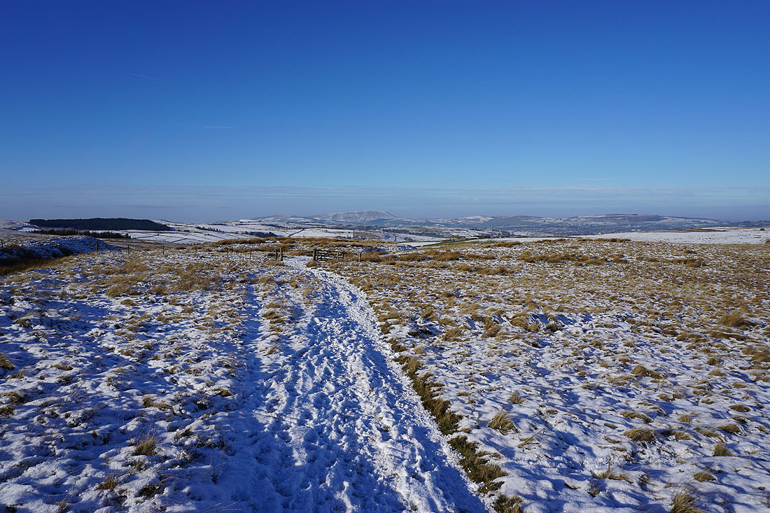
and then north across the Forest of Trawden to Kelbrook Moor, Pinhaw Beacon, and Combe Hill
Pendle Hill in the distance to the northwest
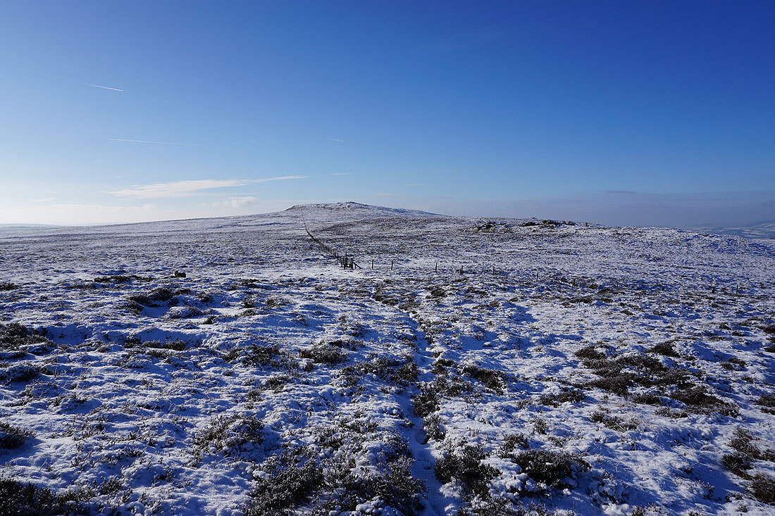
Leaving Great Saucer Stones behind I head for the summit of Boulsworth Hill
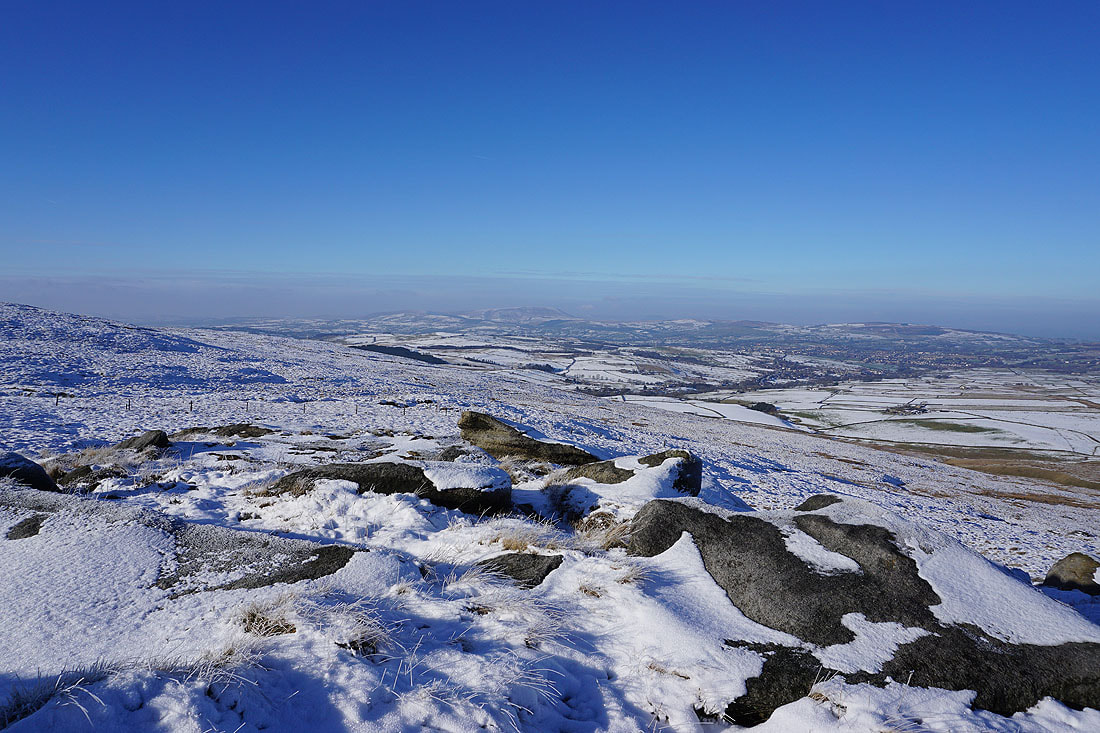
Warcock Hill and the rocky outcrops of Dove Stones across the moor to the south
At the Weather Stones as I make my way to the summit
Pendle Hill from the Weather Stones
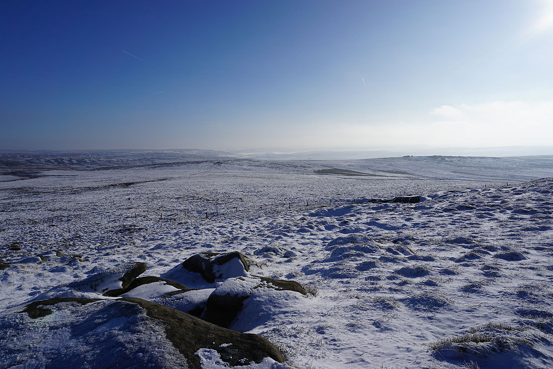
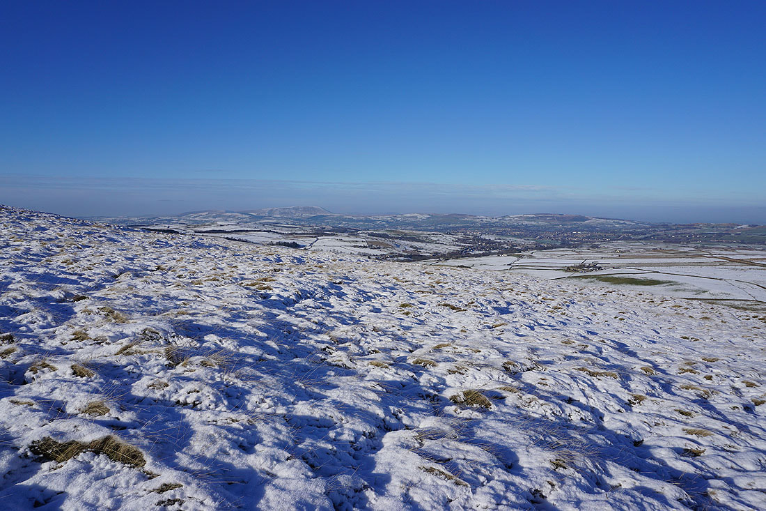
The moors around Calderdale to the south
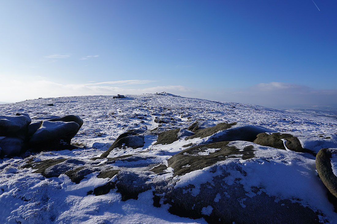
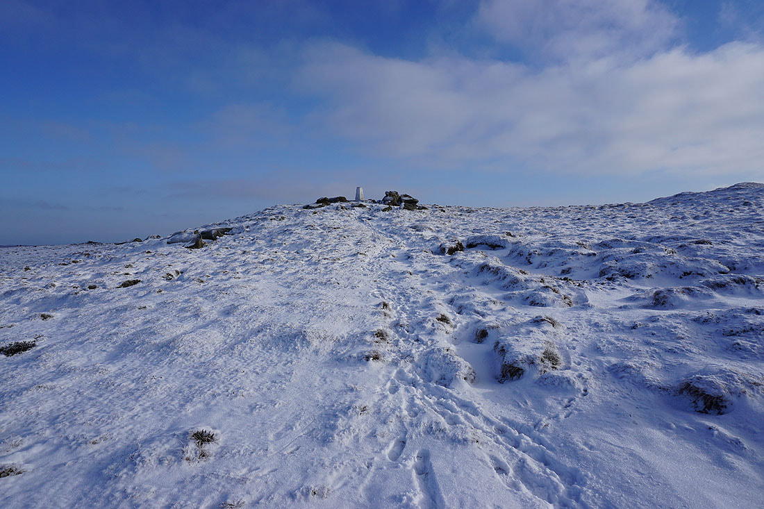
The final approach to the summit. I can make out somebody next to the trig point.
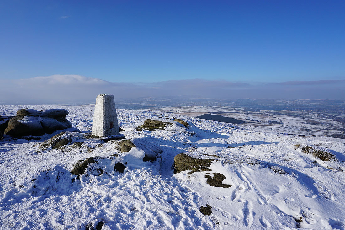
At the trig point on Boulsworth Hill. The view of Pendle Hill is being lost in the increasing haziness and mist.
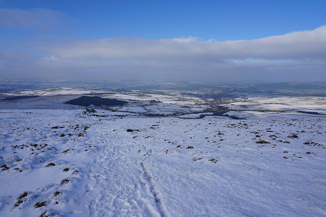
Looking north across the Forest of Trawden to Colne, White Moor, and Kelbrook Moor
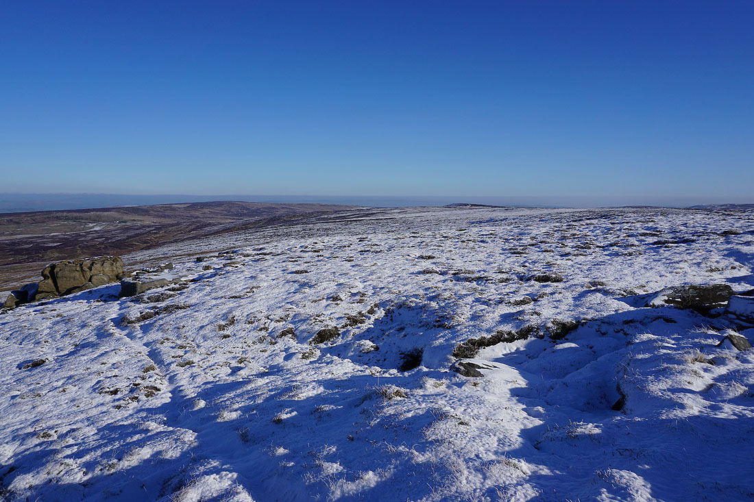
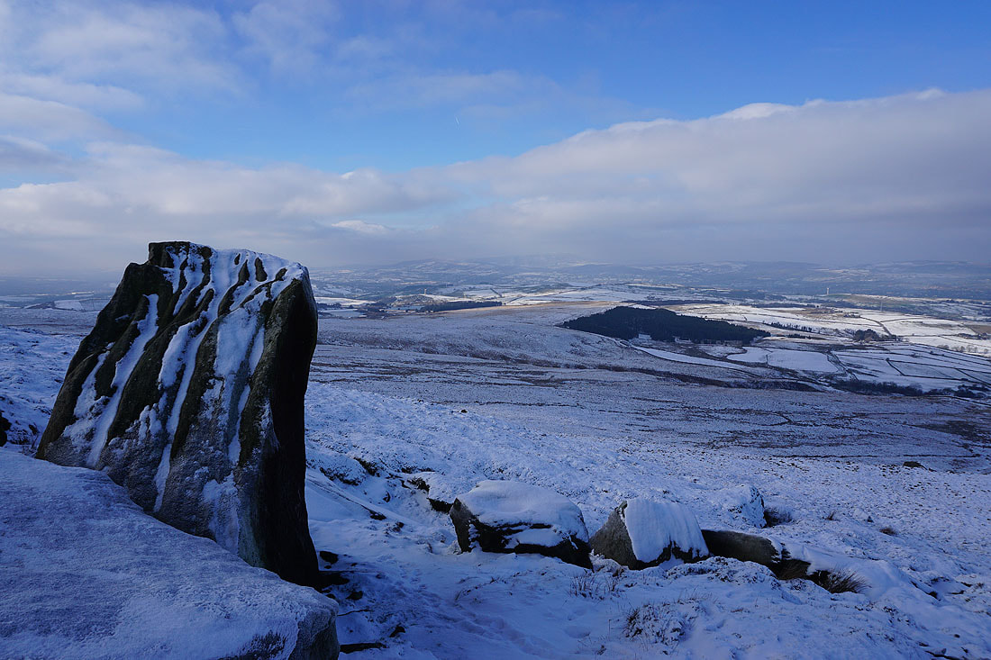
Grey Stone Hill and Hoof Stones Height to the south
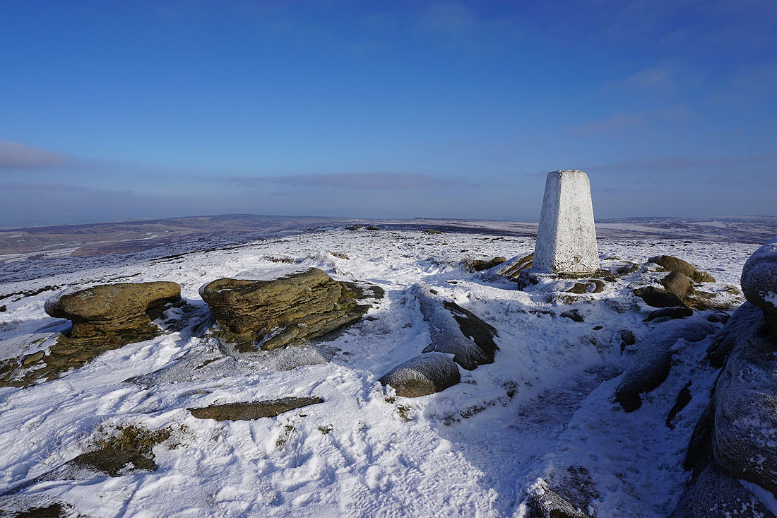
Wolf Stones and Crow Hill to the east
Leaving the trig point behind
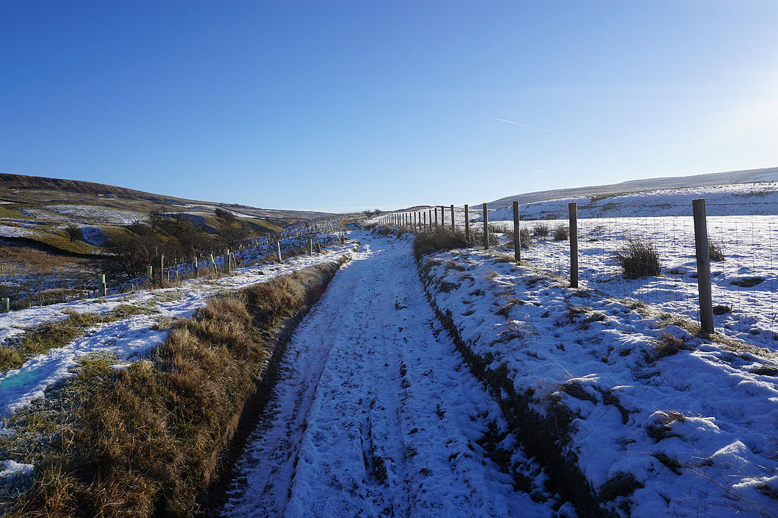
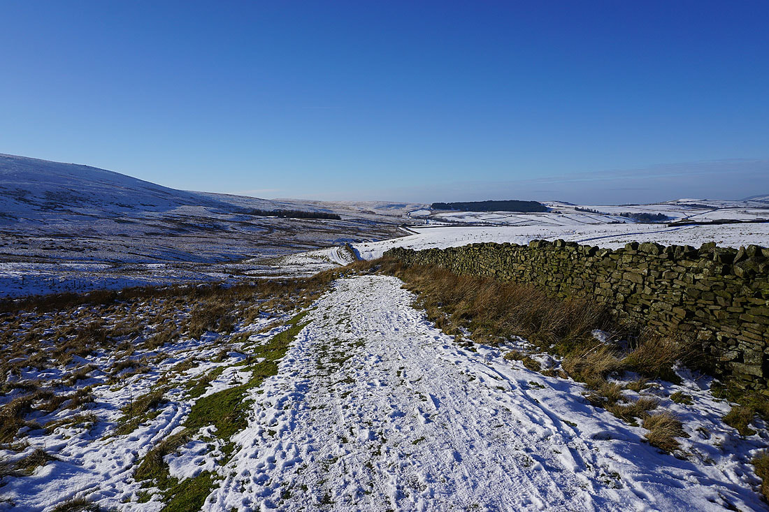
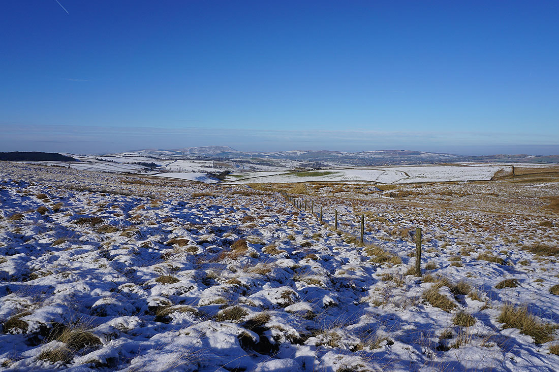
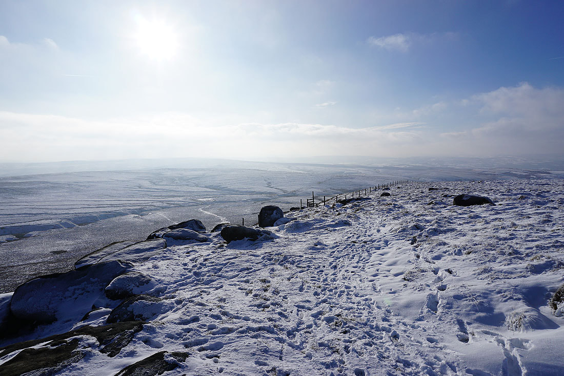
I follow the footpath north down the moor and past the Abbot Stone to the Pennine Bridleway...
A brief walk west along the Pennine Bridleway
Looking back to Boulsworth Hill as I take..
..the footpath to Alder Hurst Head
Into the cold and shade at Oaken Bank

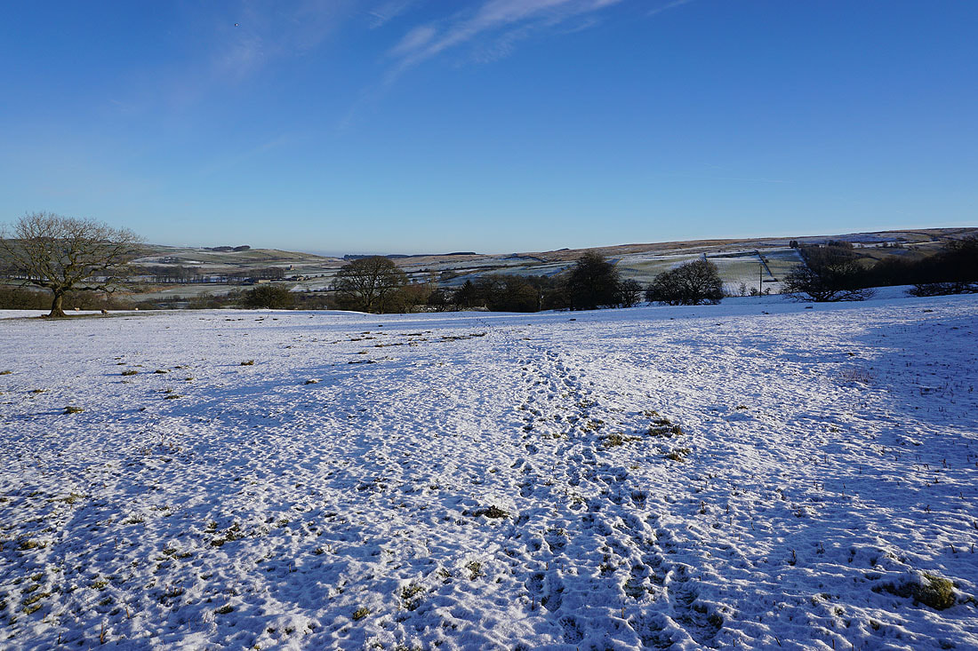
Looking back to Oaken Bank and Boulsworth Hill as I walk up the track to Pasture Springs Farm..
Just past Pasture Springs Farm I'll take a footpath on the right down to Trawden
Pendle Hill in the distance to my left..
..as I walk down through fields to Trawden
and Boulsworth Hill to my right
Boulsworth Hill in the distance from the cold and shade of the footpath down to Trawden Brook
On the footpath to Near Wanless Farm
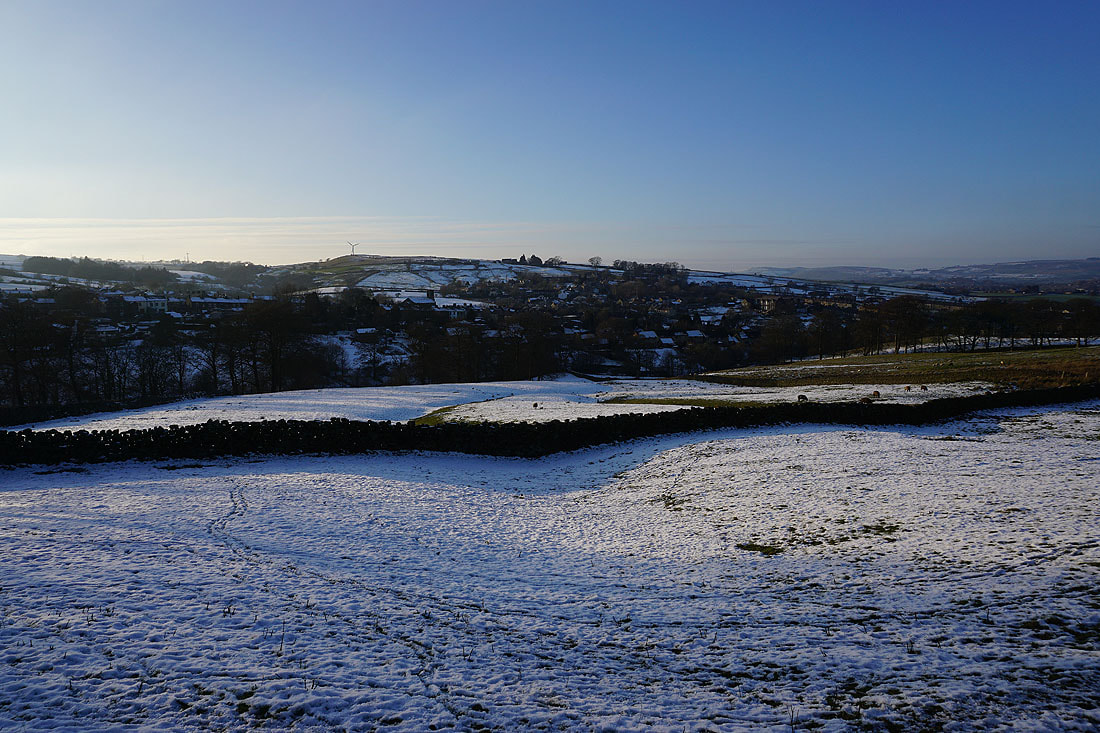
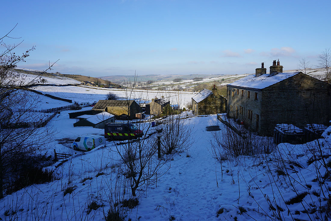
Looking across Trawden
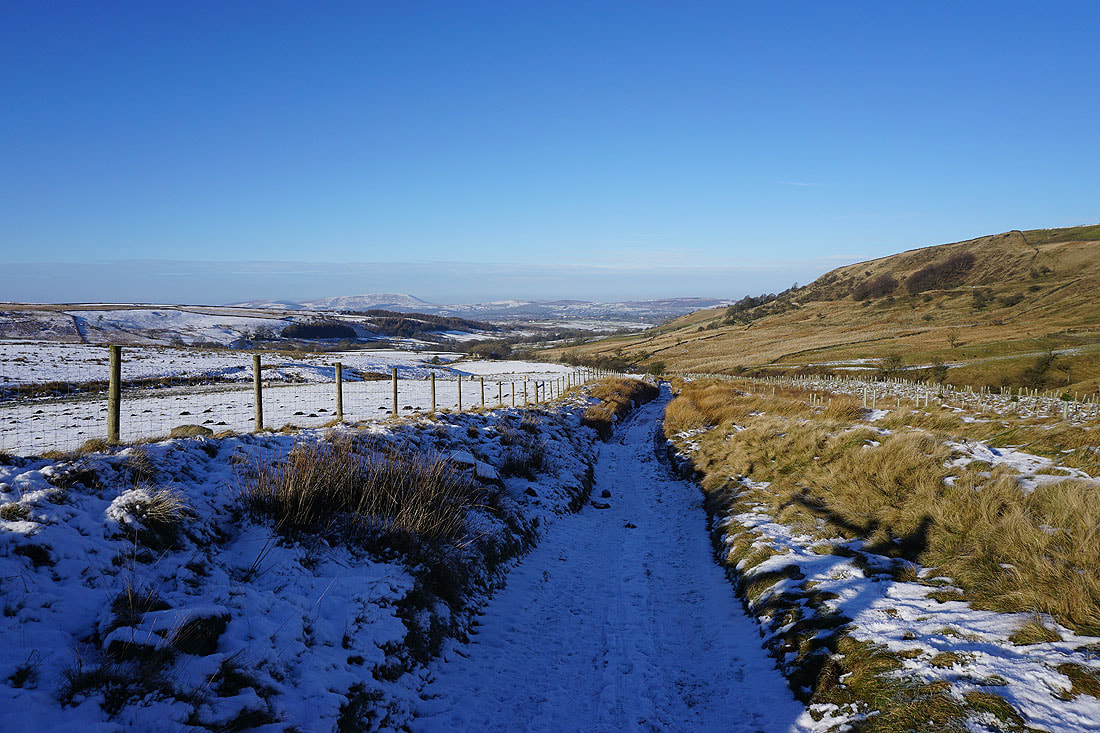
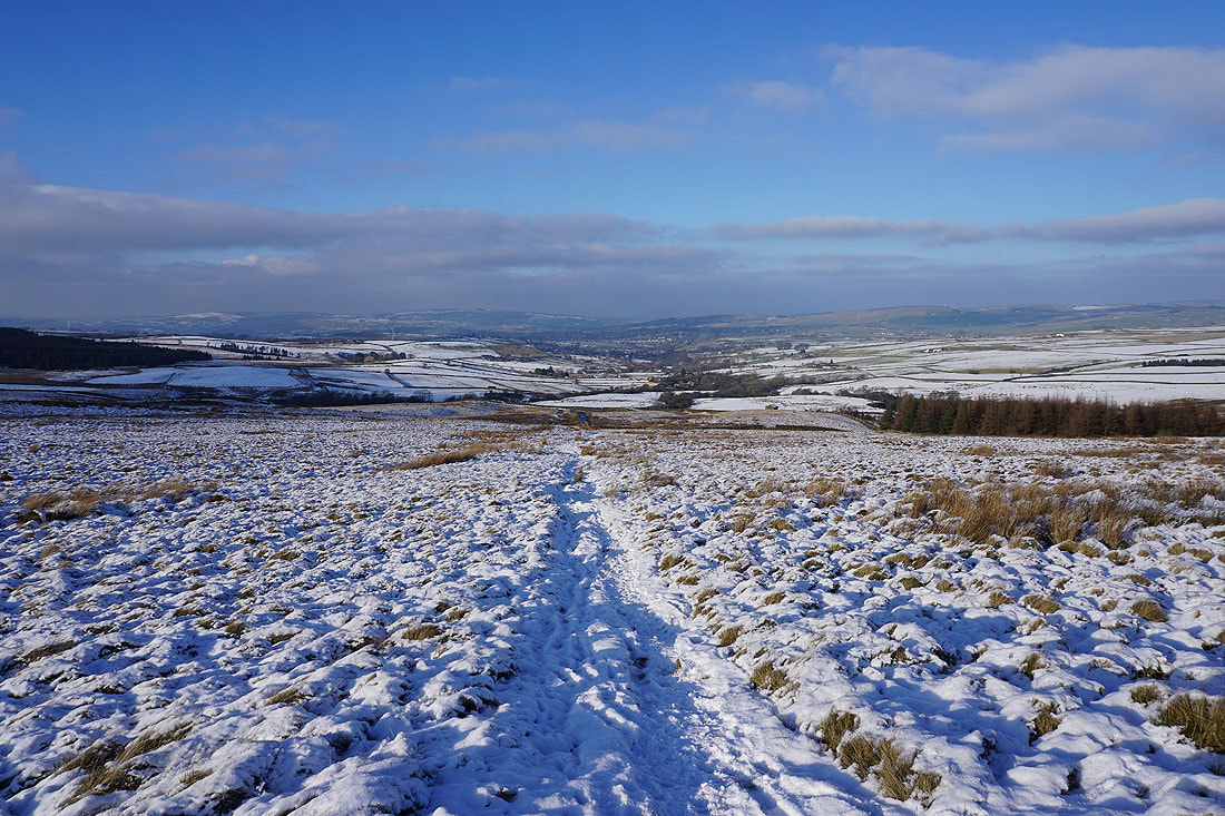
From Near Wanless Farm I take the track to Higher Stunstead
Pendle Hill in the distance above the moor on the other side of Trawden
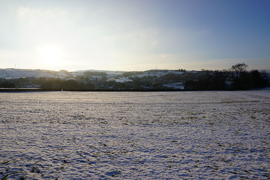
The sun sets over Trawden
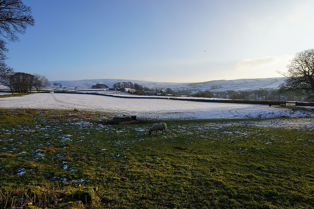
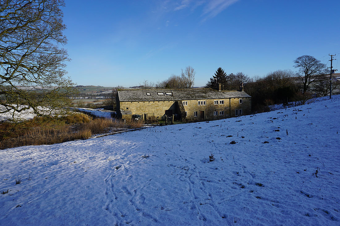
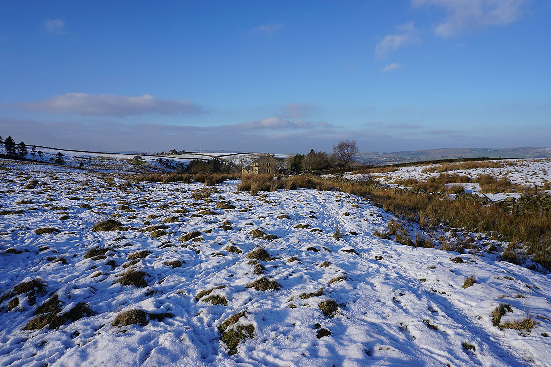
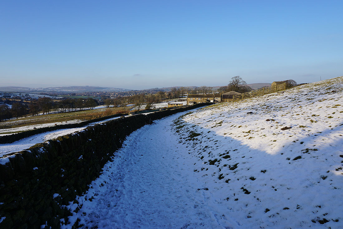
Boulsworth Hill and Deerstone Moor from Stunstead House
Heading down Stunstead Road to Trawden