21st July 2019 - From the Worth Valley to Calderdale and back
Walk Details
Distance walked: 13.6 miles
Total ascent: 2132 ft
OS map used: OL21 - South Pennines
Time taken: 7 hrs
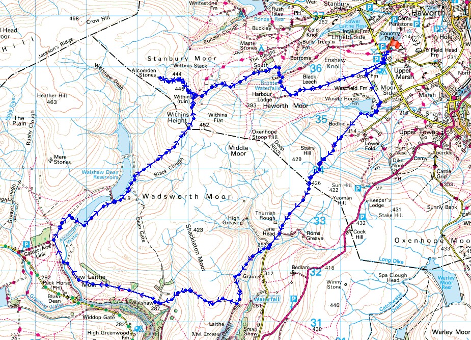
Route description: Penistone Hill Country Park-Drop Farm-Lee Lane-Bodkin Lane-Stairs Lane-Lane Head-Grain Water Bridge-Nook-Walshaw-Holme Ends-Pennine Way-Top Withins-Stanbury Moor-Alcomden Stones-Stanbury Moor-Top Withins-Bronte Bridge-Harbour Lodge-Haworth Moor-Penistone Hill Country Park
I decided to stay local today and do a route that I worked out that crossed from the Worth Valley to Calderdale and back, making use of bridleways for one crossing of the moors and the trail of the Pennine Way for the other. Before setting off I knew that it would be a long walk, but not how long, though with following bridleways and tracks for a good portion of it I knew that I'd have no trouble setting a good pace. In fact I set such a good pace on that first crossing of the moors I ended up altering the route that I'd initially planned to one that was a little longer. The forecast wasn't for the best of summer weather and that rain could arrive by the end of the afternoon, which is how things turned out. Most of the time I had cloudy skies and at times it was a little on the gloomy side, so it was a real bonus when the cloud broke up for a while while I was at Top Withins, Stanbury Moor and the Alcomden Stones. The colours of the moors looked fantastic under the mixture of blue skies and cotton-wool clouds.
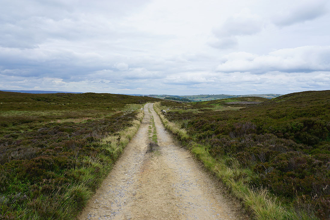
From the car park at Penistone Hill Country Park I made my way out to Moor Side Lane and took the footpath along the track to Drop Farm. Just after passing Drop Farm I took the footpath on the left and followed it down past Westfield Farm to Lee Lane where I turned right and walked along the lane past Leeshaw Reservoir, then up the bridleway of Bodkin Lane and Stairs Lane to cross the moor over to Calderdale. I followed the bridleway across the moor to Lane Head (the end of the road at the top of Crimsworth Dean), walked down the road to Grain Water Bridge and then walked south along the bridleway on the western side of Crimsworth Dean to the ruined farm of Nook. Here I turned right and took the bridleway across the southern end of Shackleton Knoll to the hillside hamlet of Walshaw, where I turned right again and followed the track up Hebden Dale, across the bridge over Alcomden Water at Holme Ends and up to join the trail of the Pennine Way. I then followed the Pennine Way up Walshaw Dean, past the lower and middle reservoirs, before heading up Withins Height End to cross over the moor back to the Worth Valley, where I soon reached the ruins of Top Withins. I left the Pennine Way at Top Withins to pay a visit to the trig point on Stanbury Moor and the Alcomden Stones, then after returning to the ruins took the path down into the valley of South Dean Beck to Bronte Bridge. I crossed the bridge and took the path up the hillside opposite by Bronte Waterfalls and across the moor to reach the track from Harbour Lodge, which I followed east across Haworth Moor to Moor Side Lane. I was then left with a short walk back to the car park at Penistone Hill Country Park.
Route map
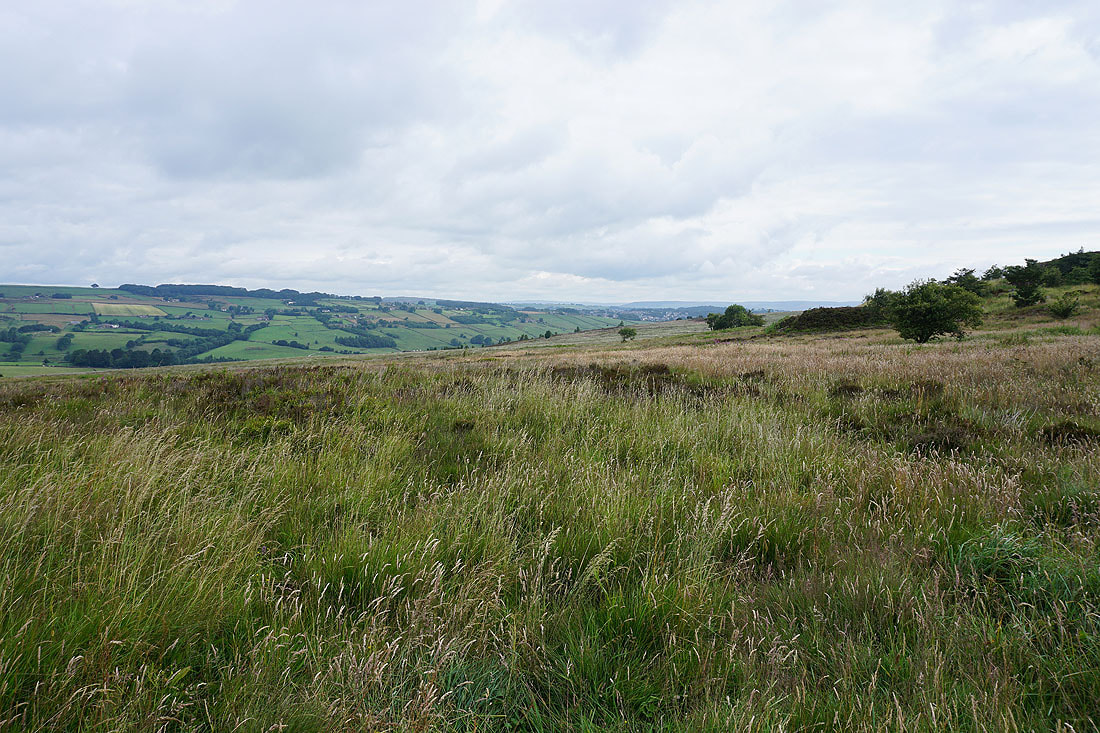
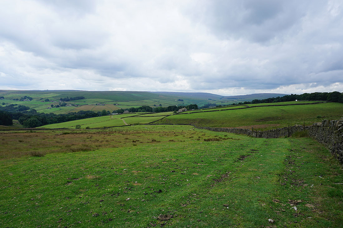
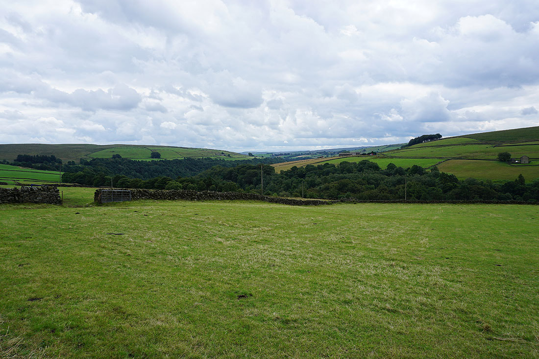
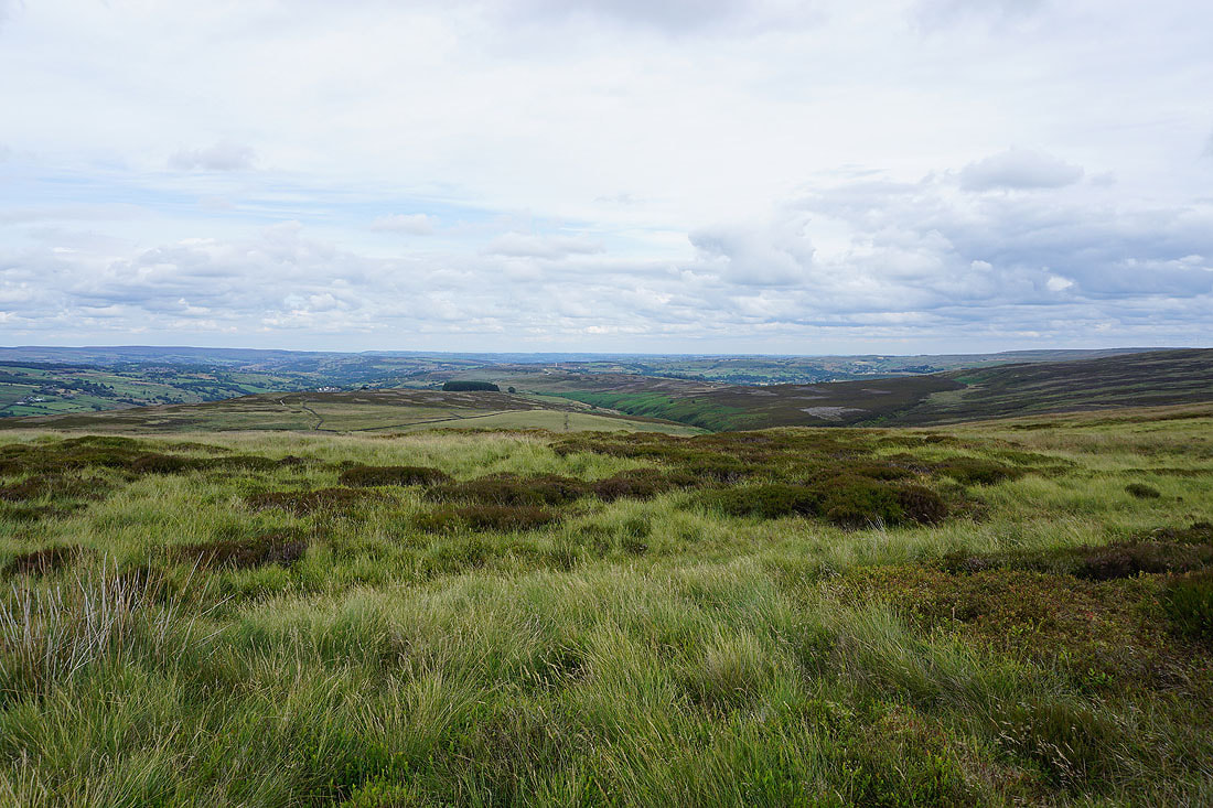
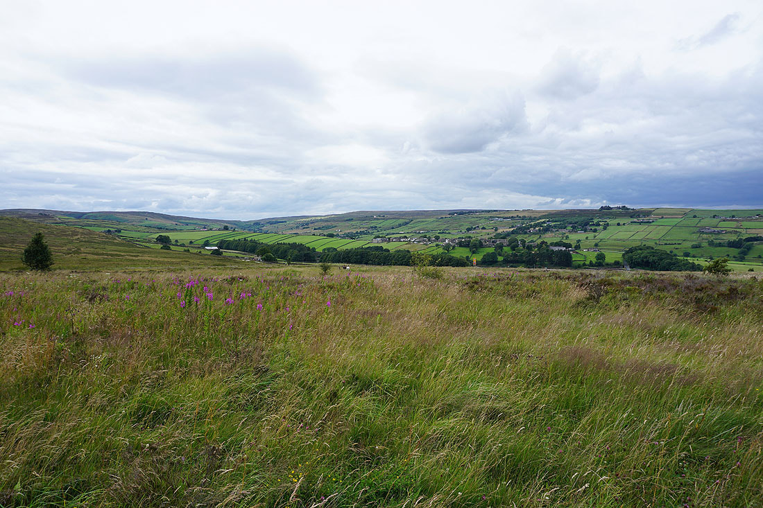
The view across the Worth Valley from the car park on Penistone Hill. One that I've taken in a few times recently..
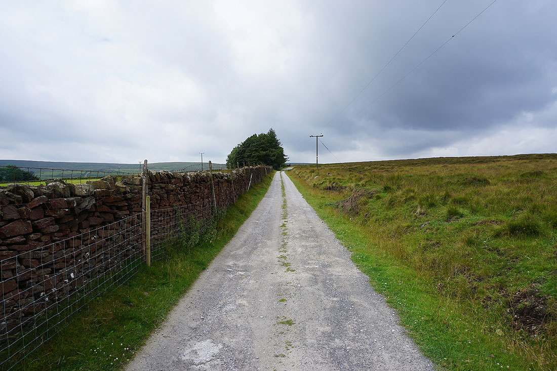
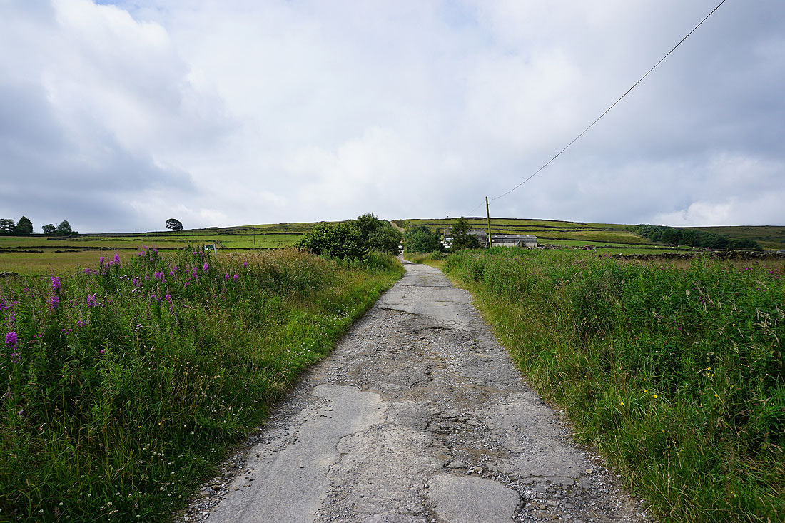
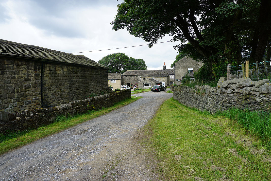
On the footpath to Drop Farm
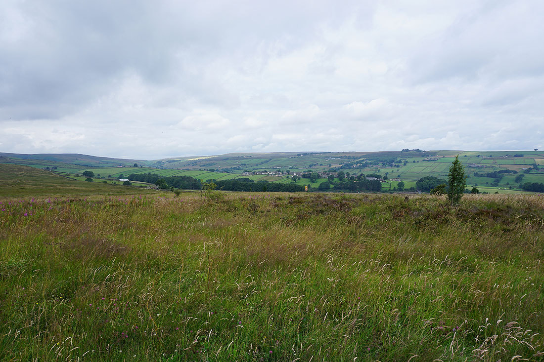
Looking back to Penistone Hill
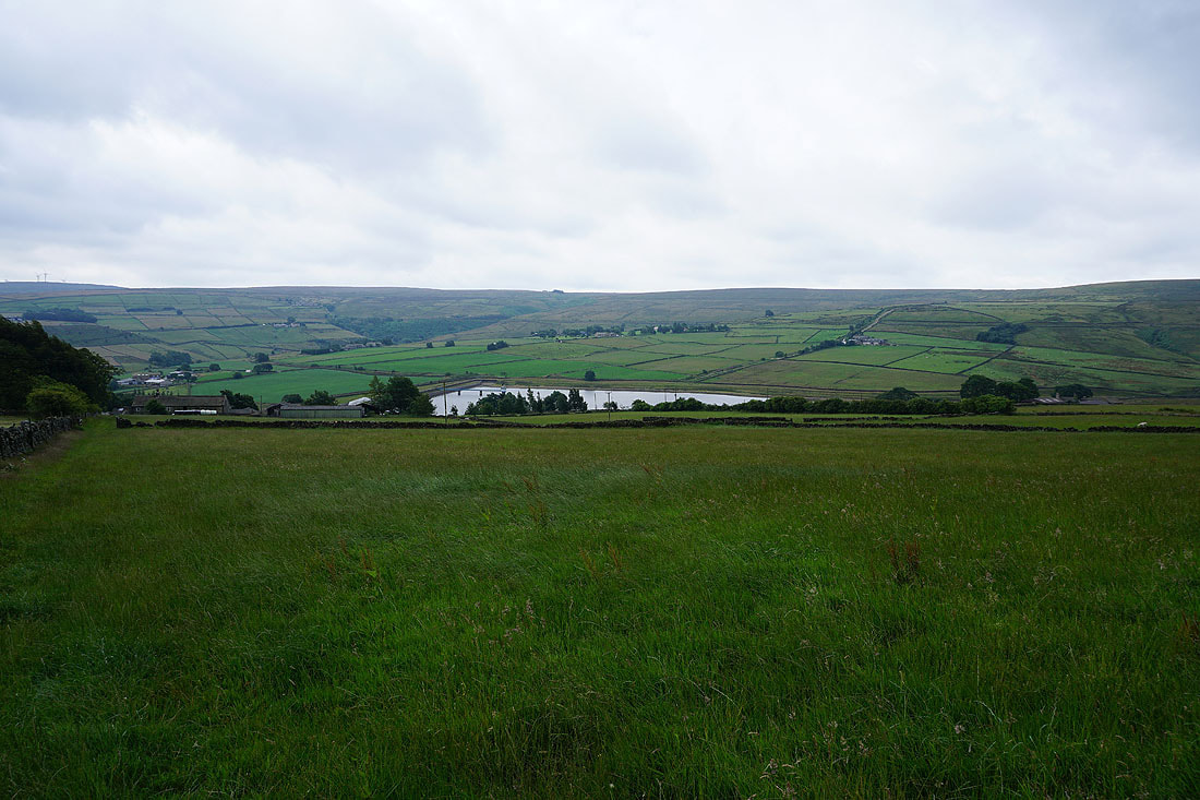
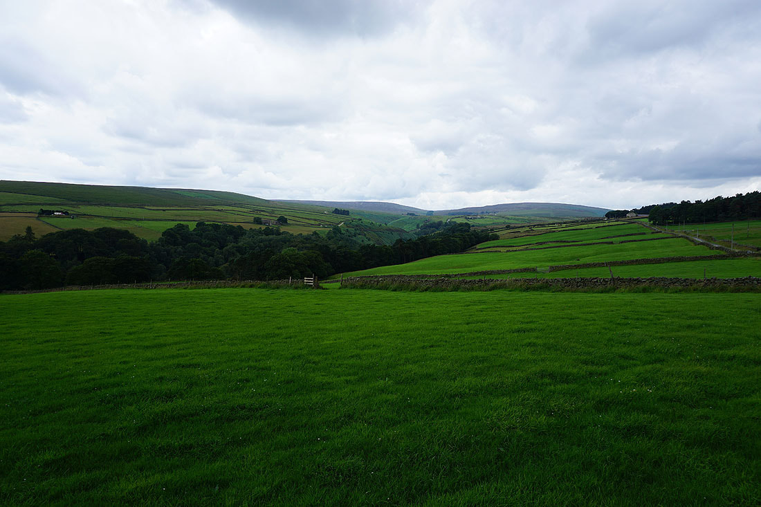
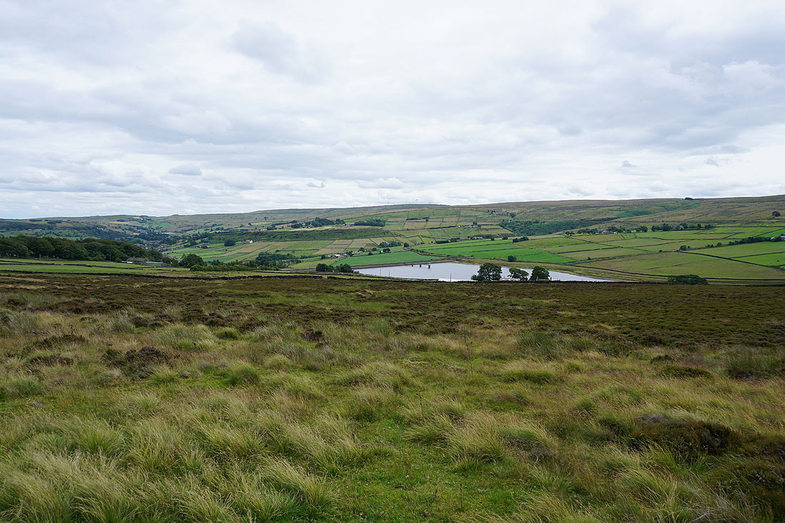
Leeshaw Reservoir as I follow the footpath down to Lee Lane
Oxenhope and the hillside of Stones
Oxenhope and the hillside of Bentley Hey from Lee Lane
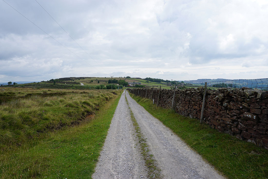
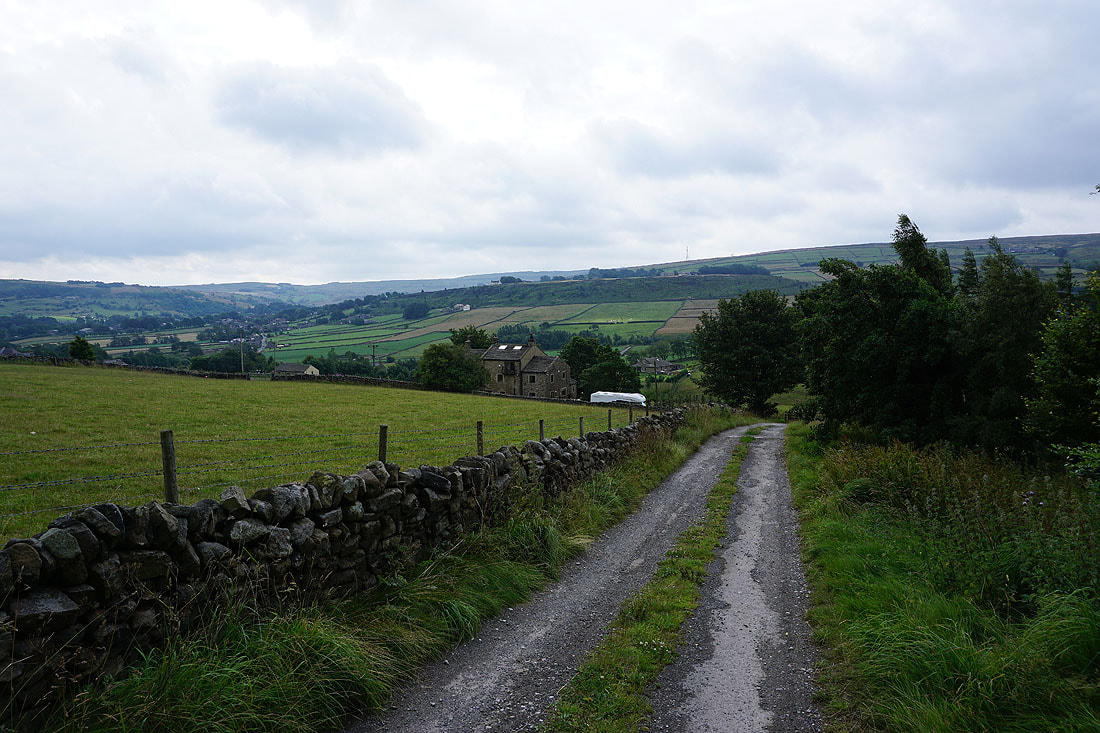
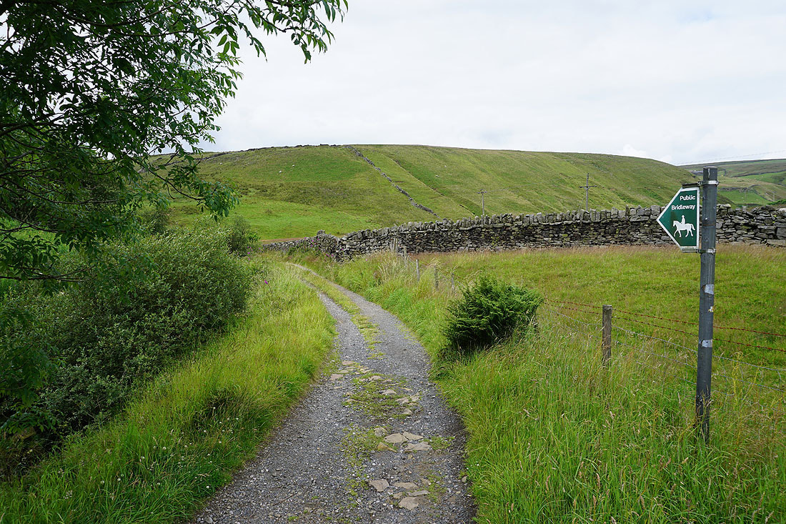
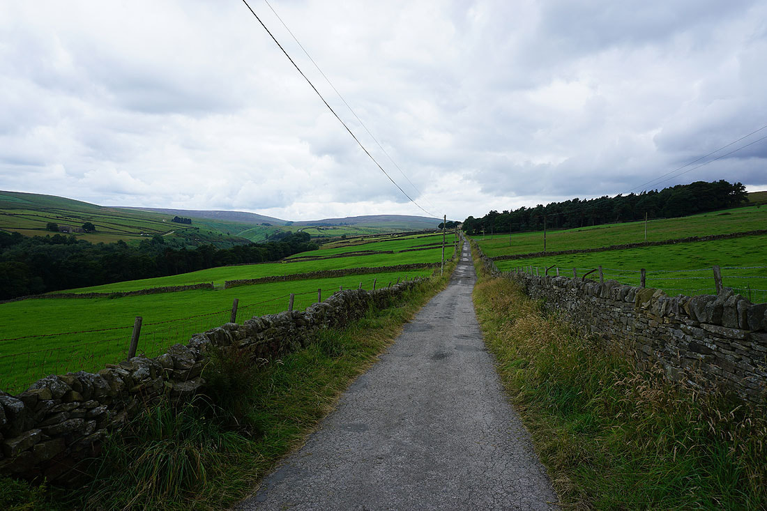
Heading up the byway of Bodkin Lane and up onto the moors
Looking back to Leeshaw Reservoir
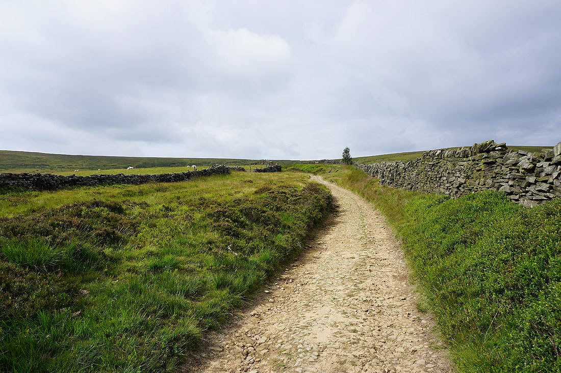
Higher up and Bodkin Lane becomes Stairs Lane
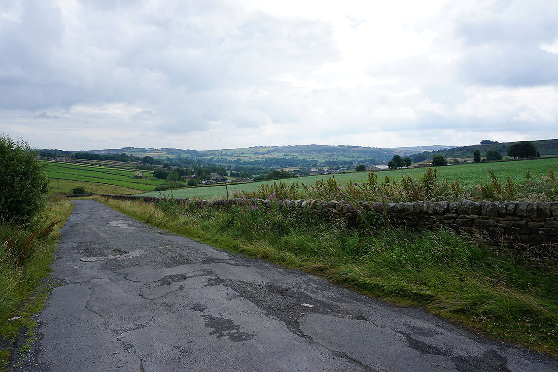
As I near its top I can look back and see Oxenhope and its surrounding moors
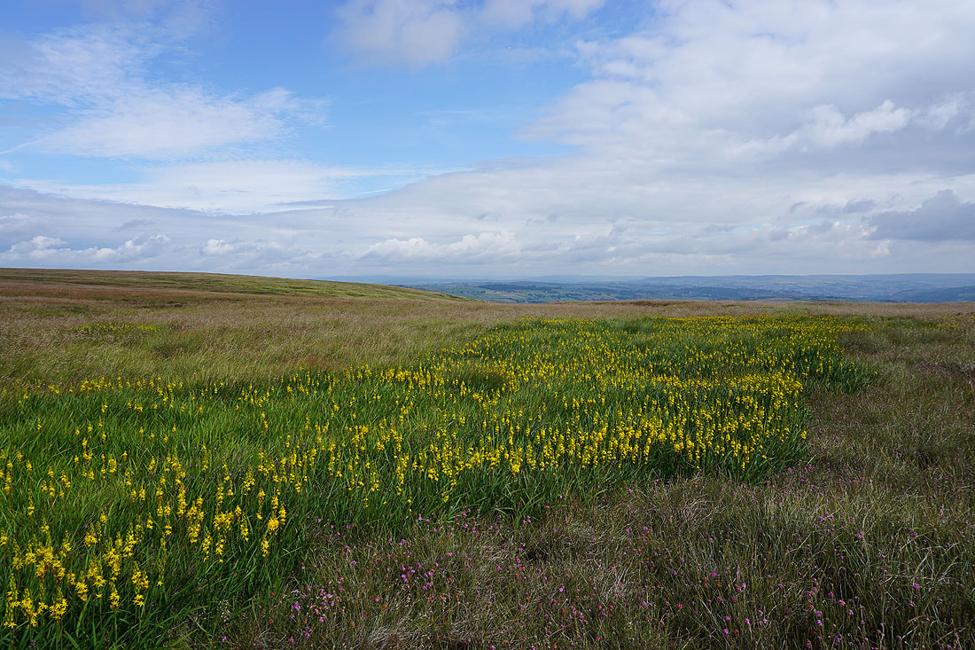
Just off the track there's bog asphodel in flower on a marshy patch of ground. I couldn't resist stopping to take a few photos.
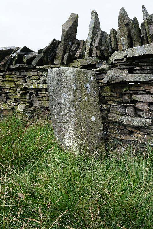
Boundary stone with OS benchmark at the top of the track
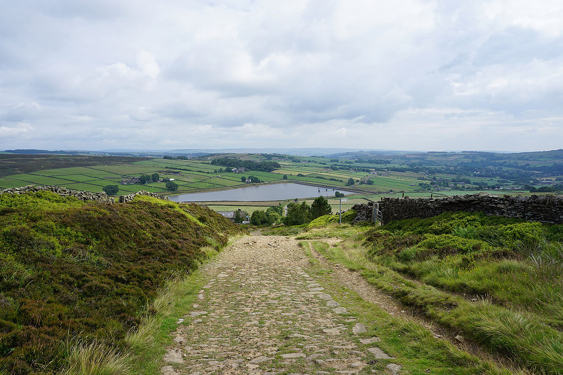
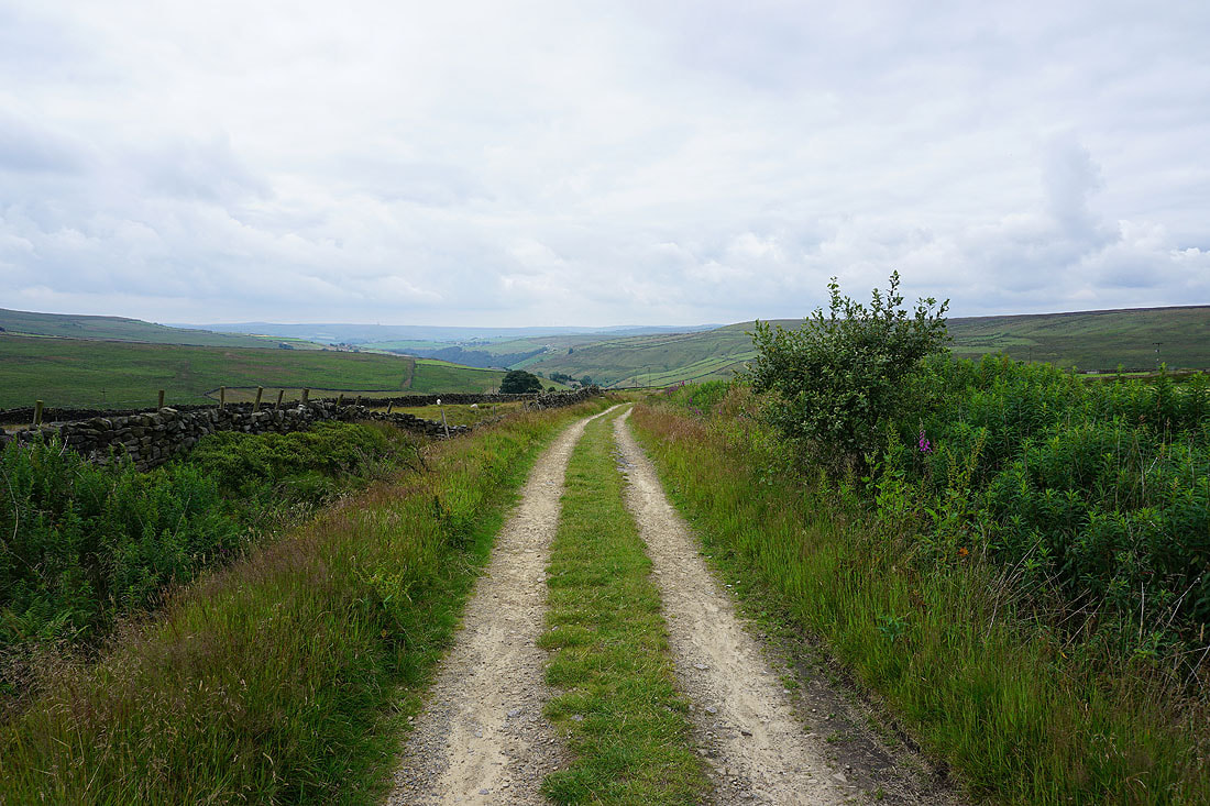
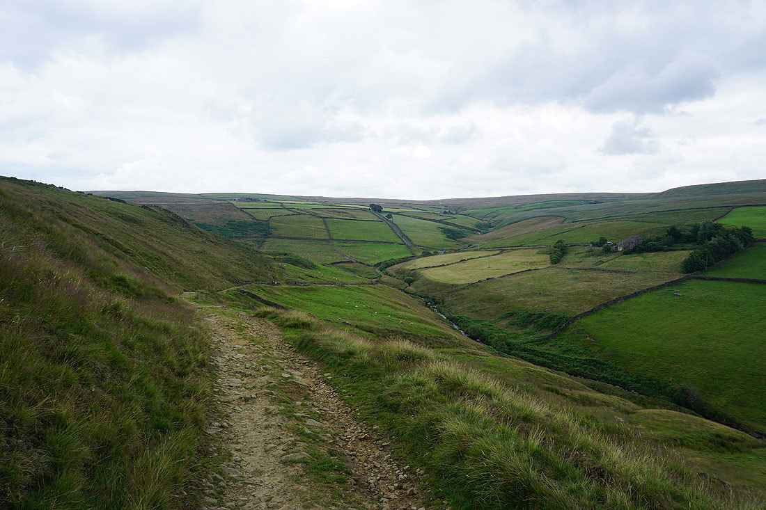
The moors around Calderdale are now in front of me as I start the descent into Crimsworth Dean
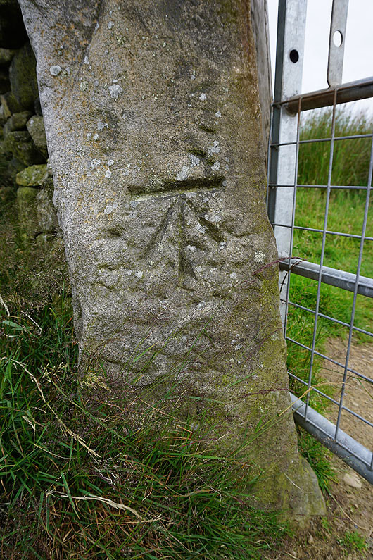
OS benchmark on a gatepost
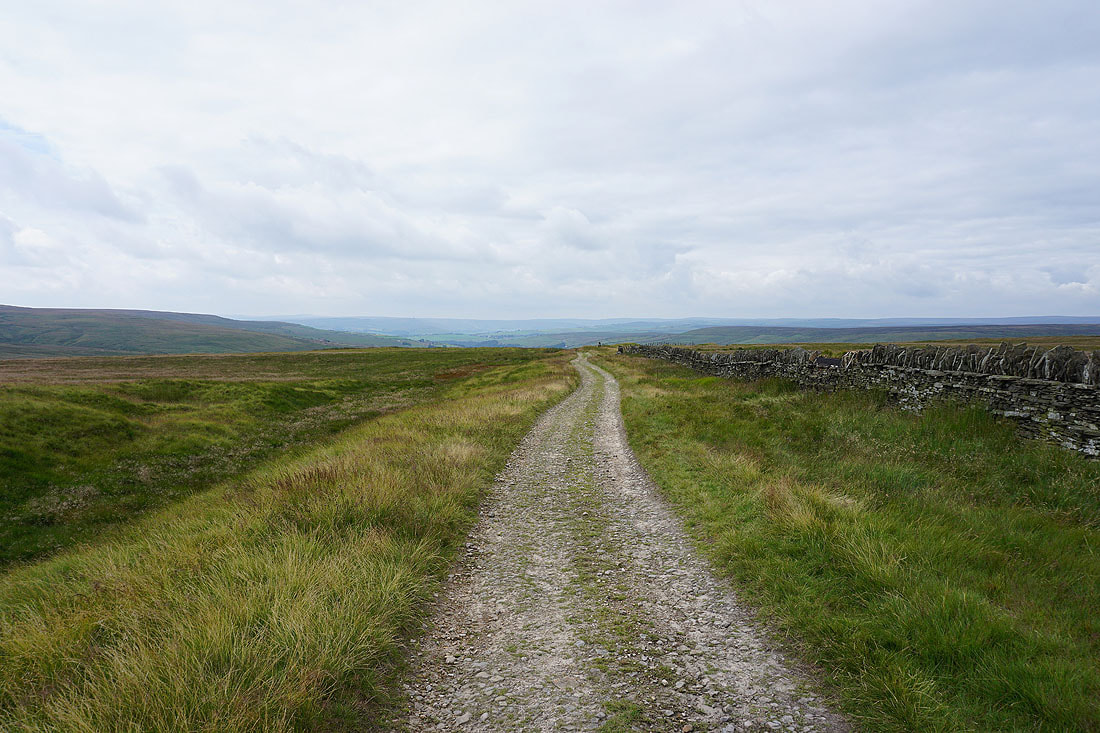
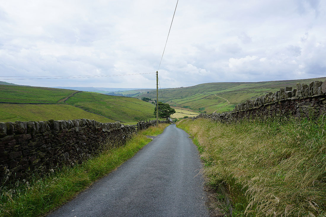
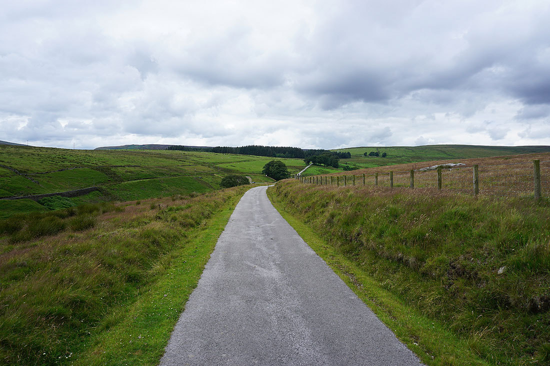
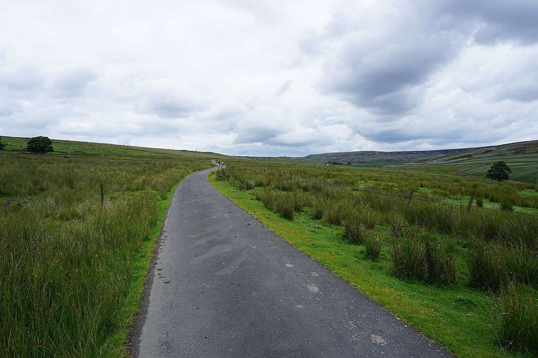
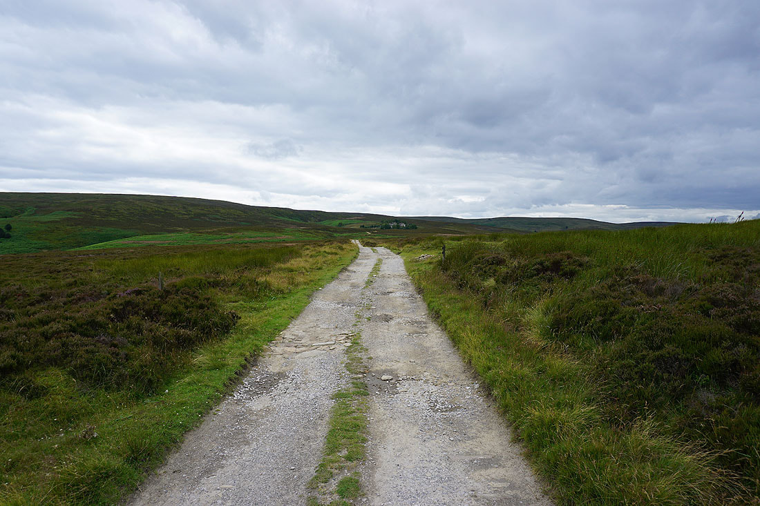
I follow the byway down to the end of the tarmacked road at Lane Head and then the road down to the bridleway at Grain Water Bridge...
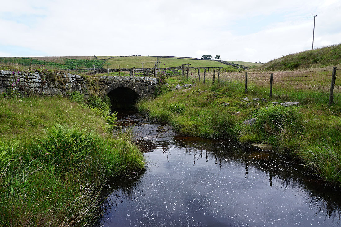
The bridleway will take me across Paddock Beck and up onto the other side of Crimsworth Dean
Paddock Beck
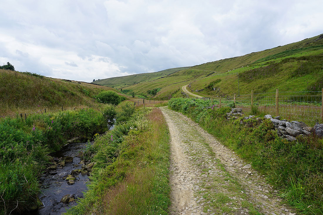
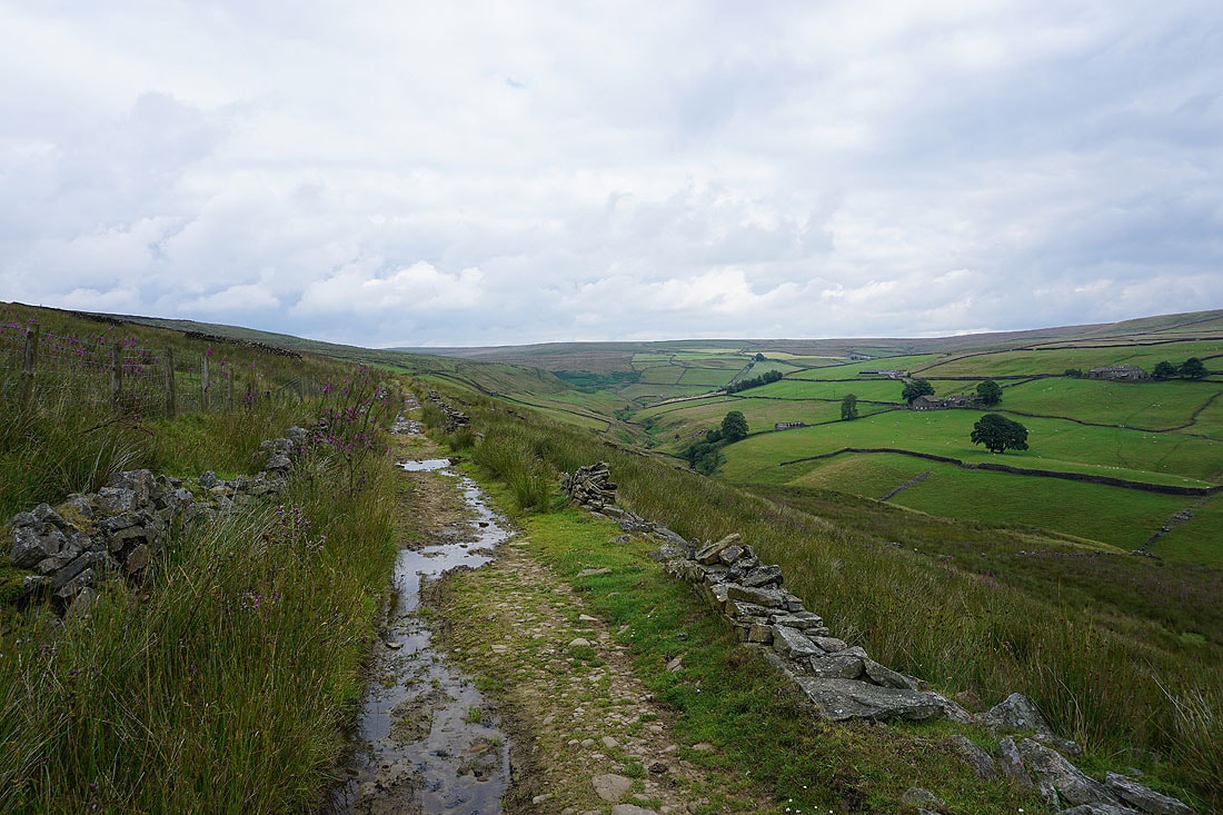
Crimsworth Dean as I follow the bridleway south...
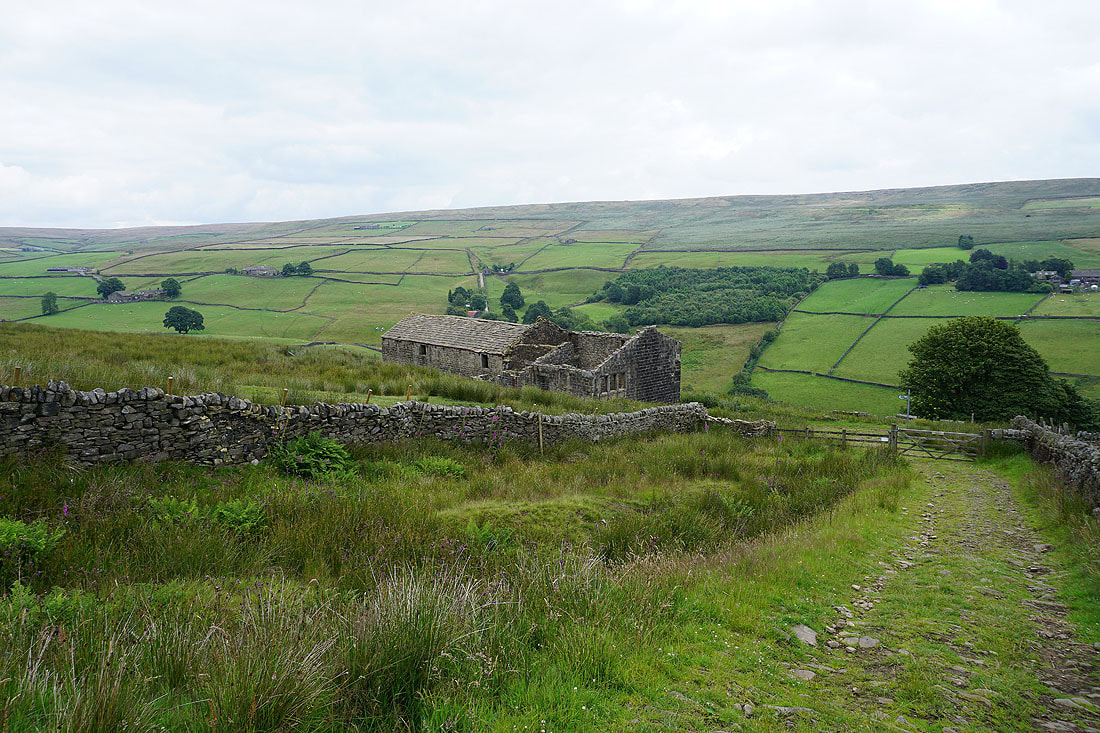
I leave Crimsworth Dean at the ruin of Nook..
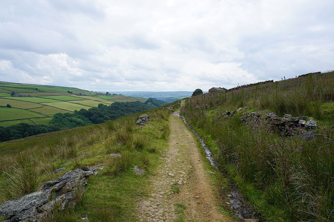
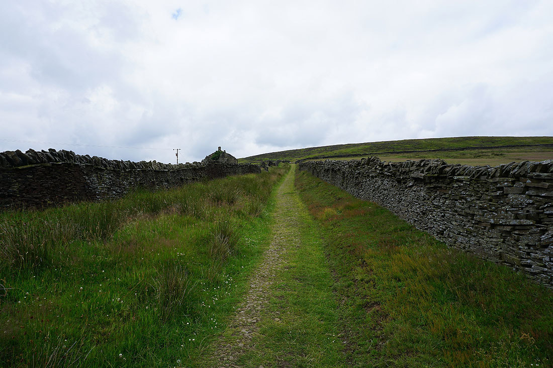
..for the bridleway across to Hebden Dale
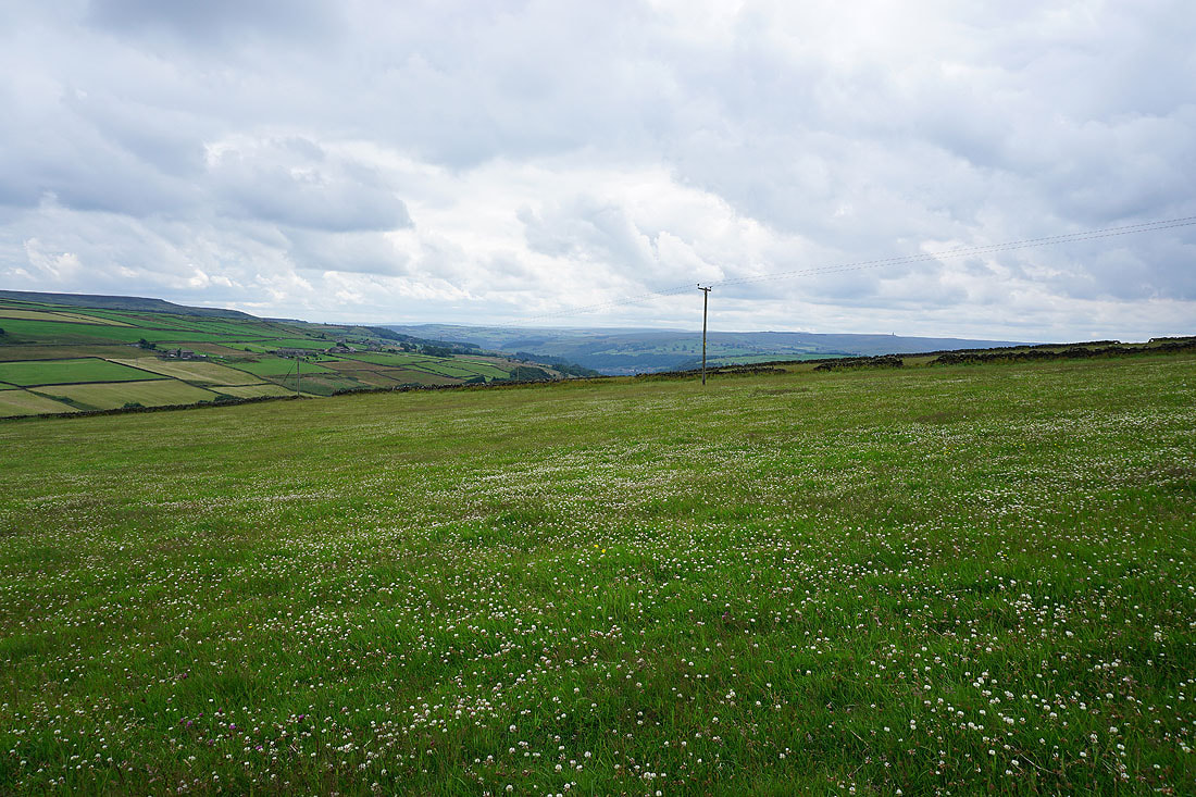
A field full of white clover
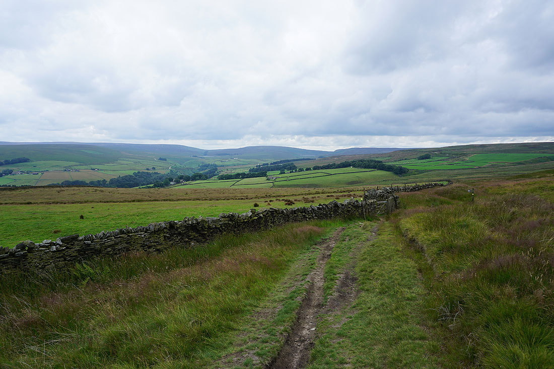
The moors surrounding Hebden Dale come into view as I follow the bridleway down to the hillside hamlet of Walshaw...
A rather gloomy Hebden Dale from Walshaw
From Walshaw I follow the bridleway up Hebden Dale towards Walshaw Dean
Looking down Hebden Dale
Into Walshaw Dean..
..and I join the trail of the Pennine Way
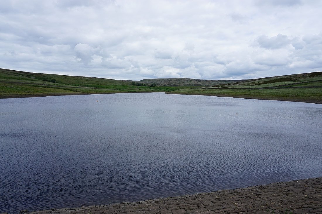
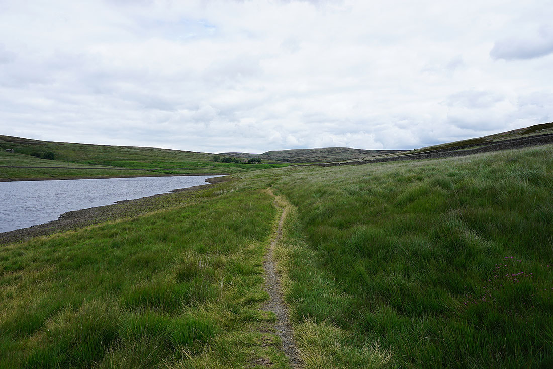
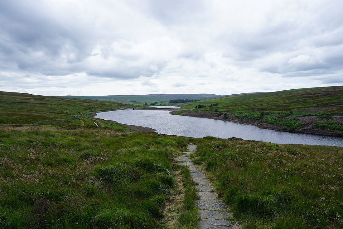
Walshaw Dean Lower Reservoir
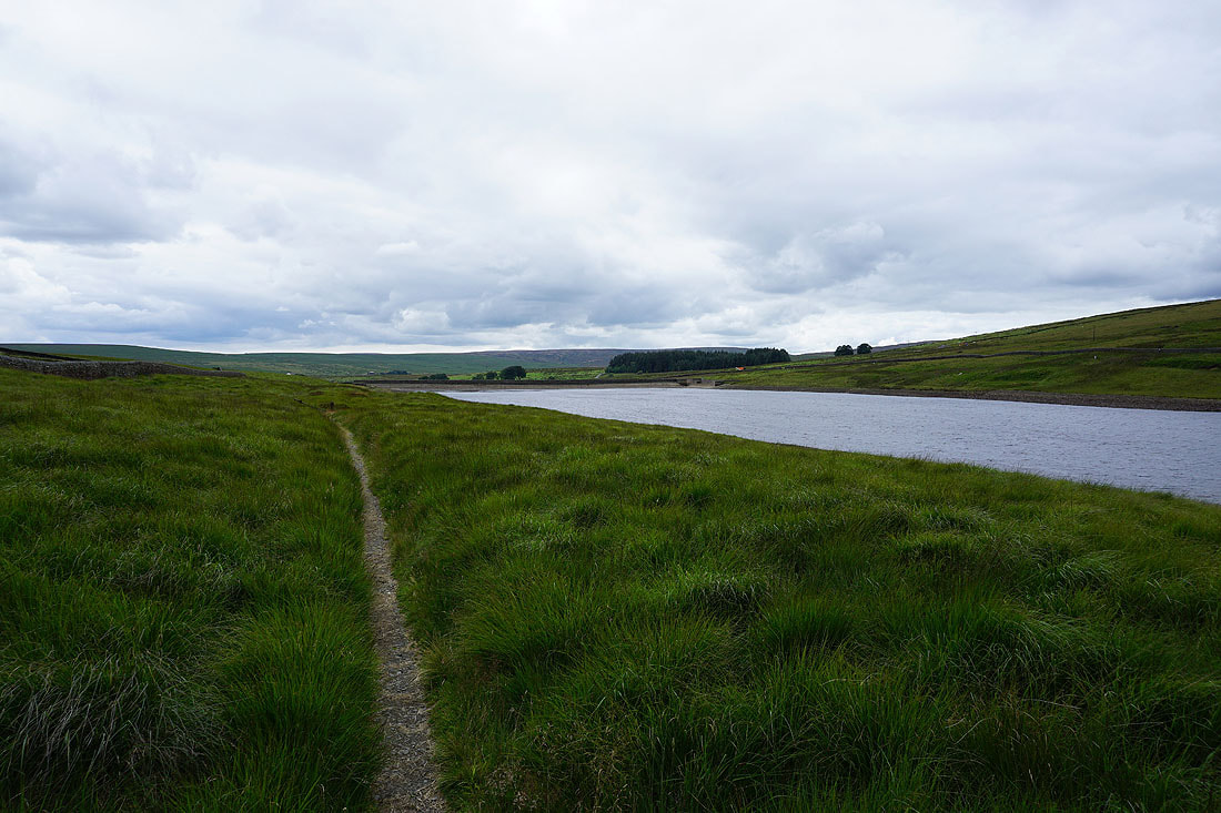
The Pennine Way follows its eastern shore..
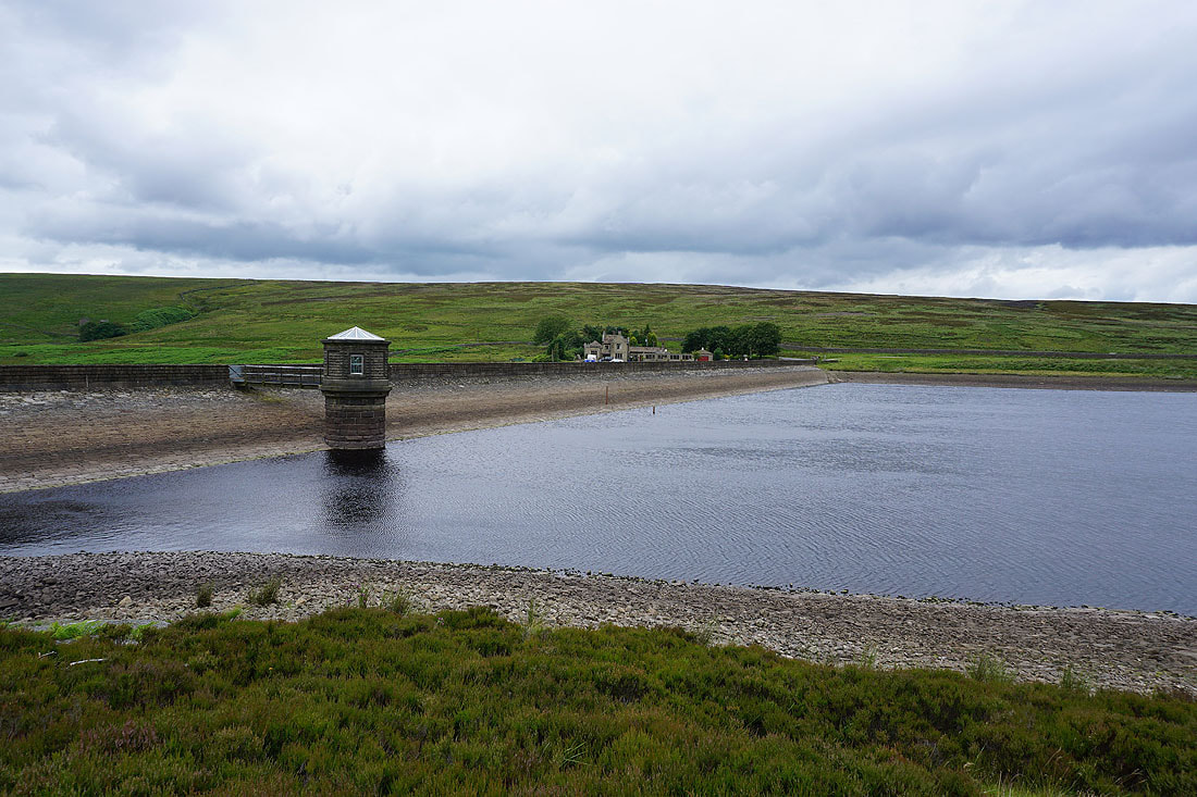
..to Walshaw Dean Middle Reservoir
Withins Height above Walshaw Dean Middle Reservoir
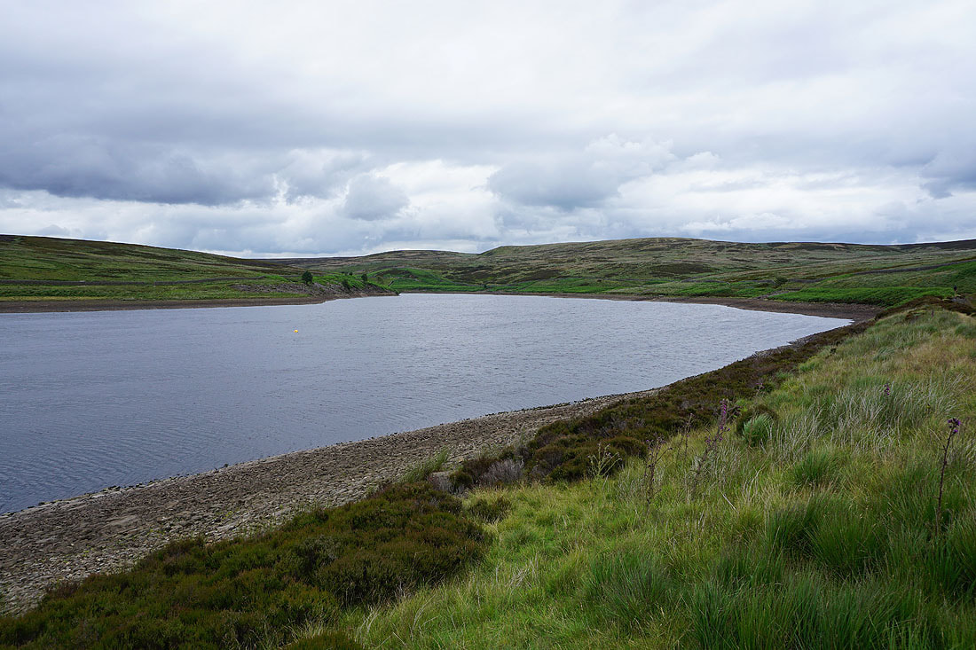
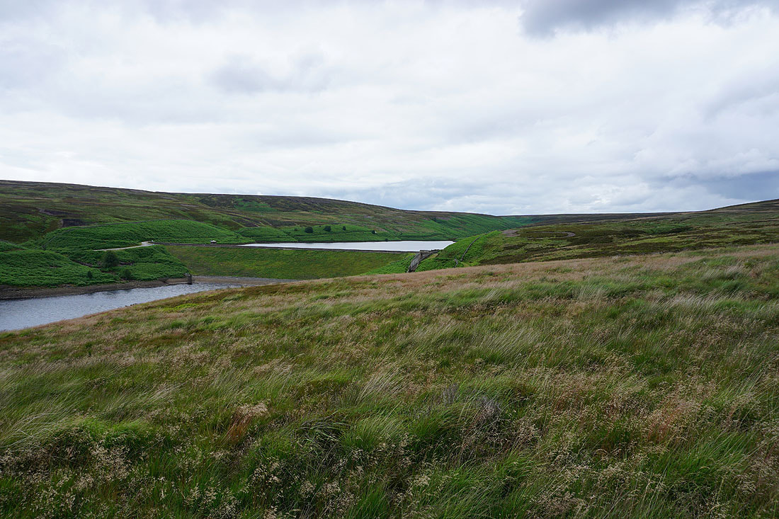
Walshaw Dean Upper Reservoir
Walshaw Dean Lower and Middle Reservoirs as the Pennine Way starts to climb the moor
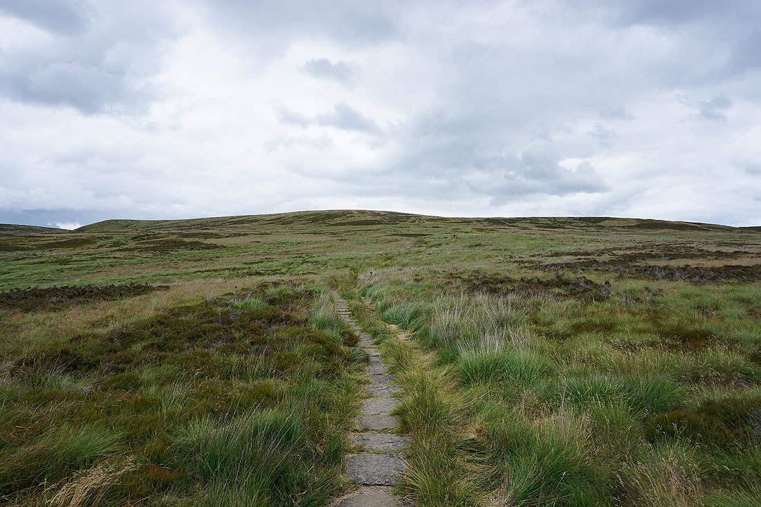
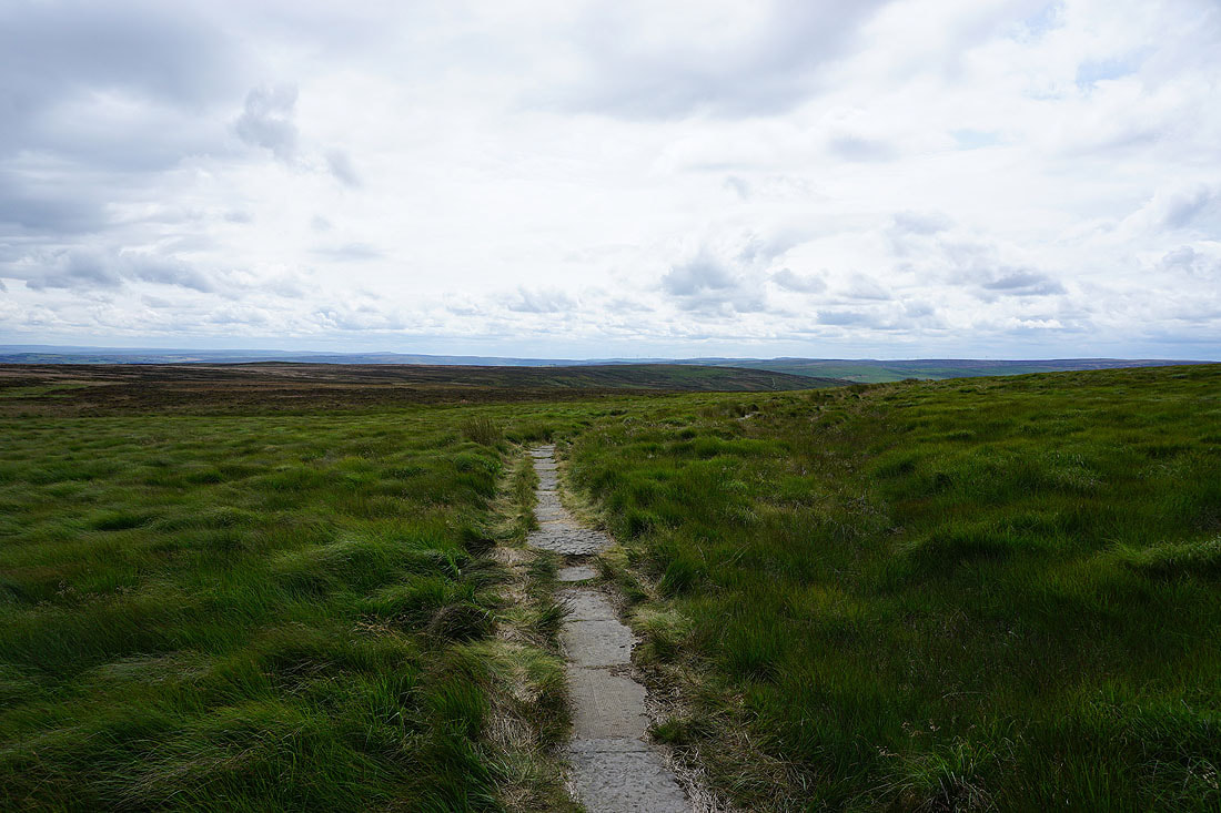
Following the Pennine Way up onto Withins Height End
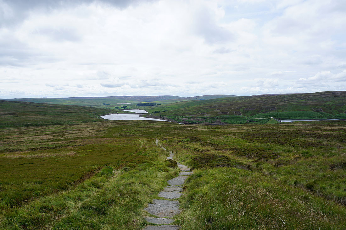
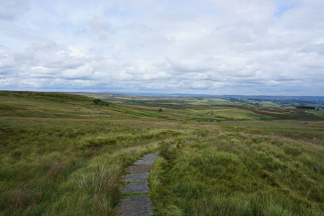
Looking back with the hill of Hoof Stones Height in the distance and the moors around Hebden Dale. There are also four reservoirs visible, the three in Walshaw Dean and the most distant one is Gorple Lower Reservoir.
Onwards and upwards
As I reach the top of the moor there's a great view across the moors surrounding Calderdale..
..and south to the northern end of the Peak District and Blackstone Edge
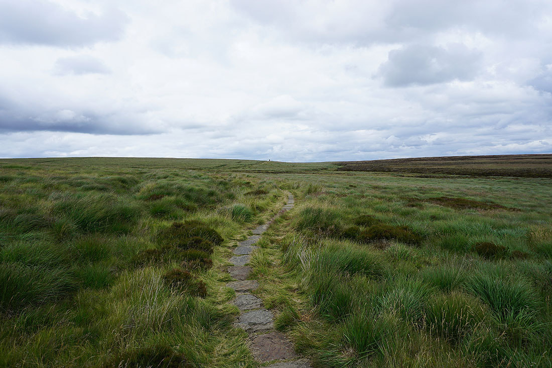
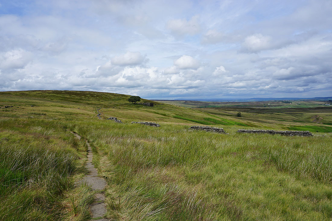
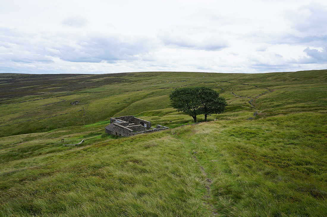
Following the Pennine Way to the ruins of Top Withins..
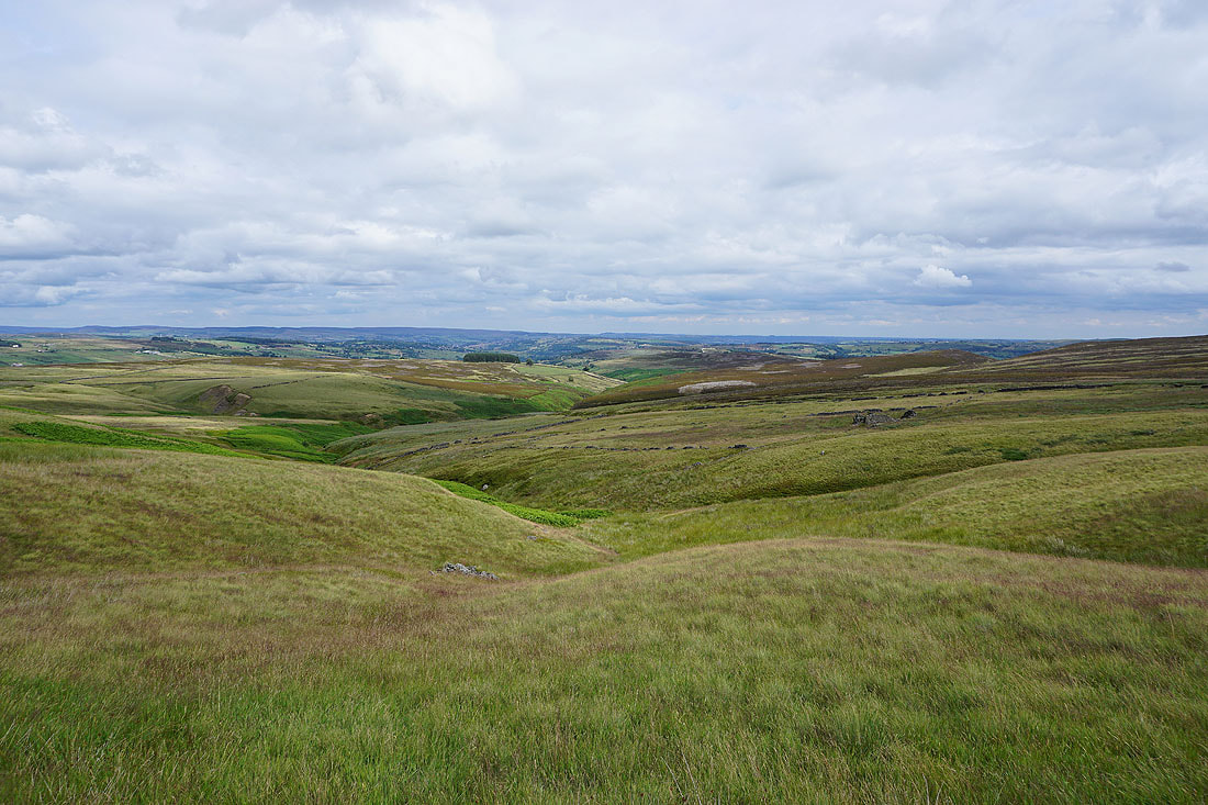
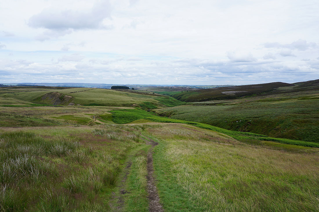
Looking down the valley of South Dean Beck to the moorland of The Height and Haworth Moor. The sun being out is a welcome bonus.
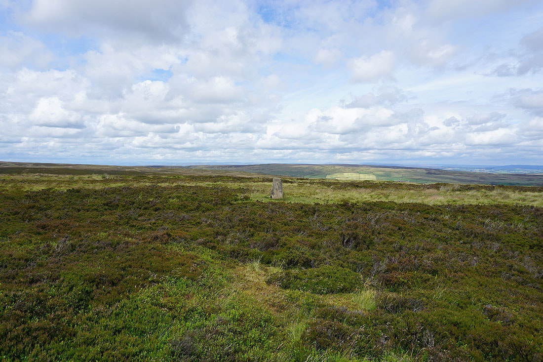
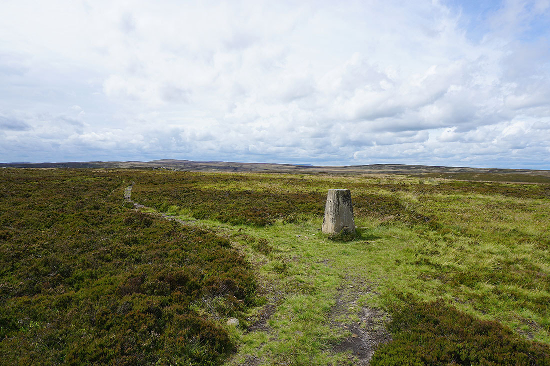
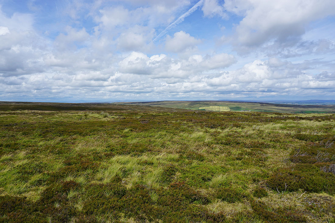
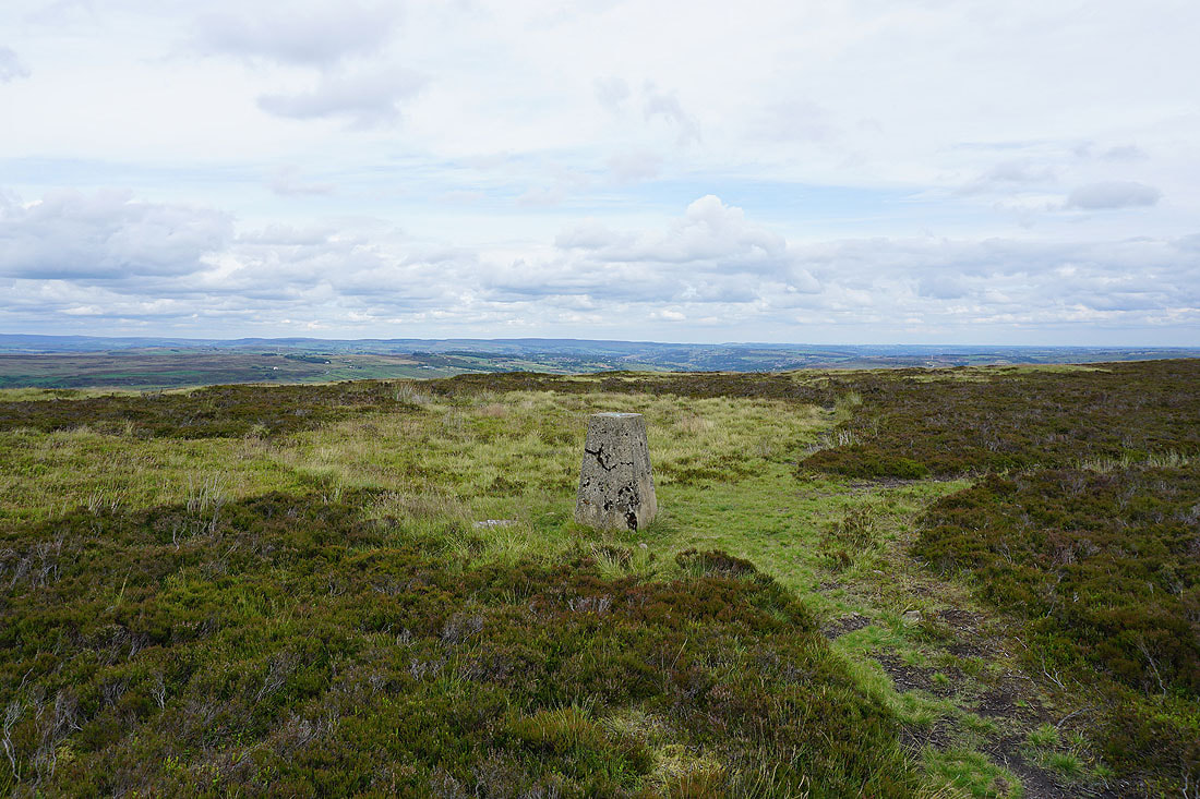
I left the Pennine Way at Top Withins and walked the short distance to the trig point on the top of Stanbury Moor. There's a great view north to Wolf Stones and Oakworth Moor with the hills of the Yorkshire Dales in the distance behind..
Looking west to Boulsworth Hill and Crow Hill
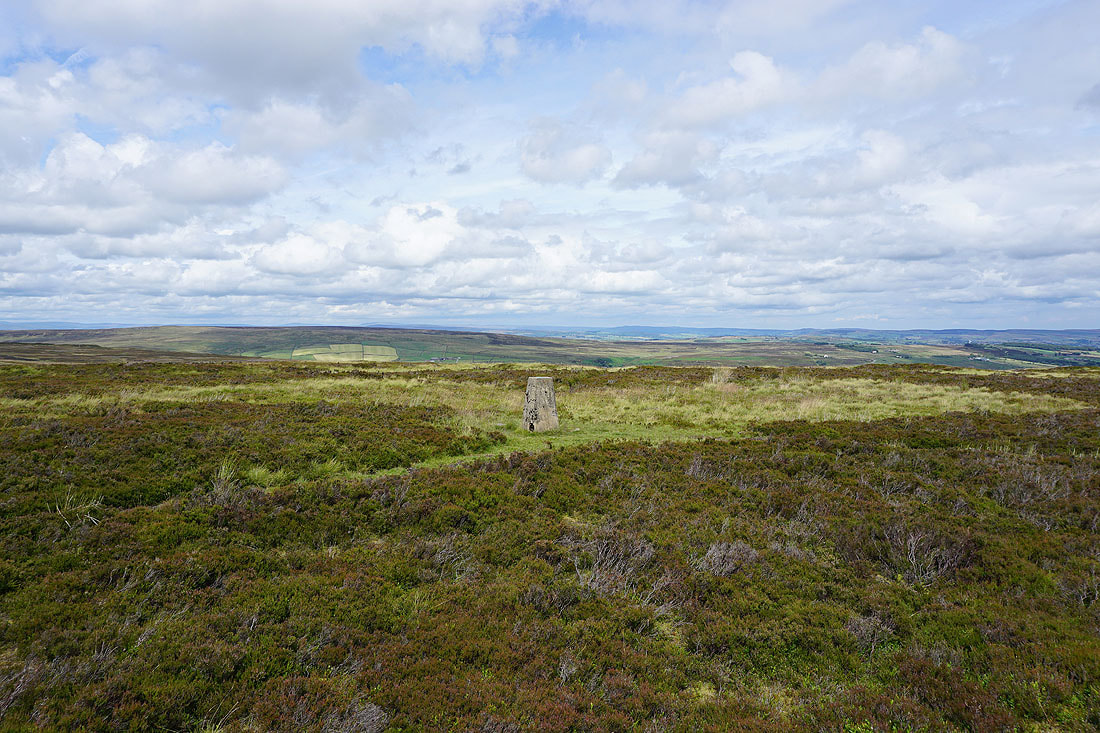
One more photo of that view to the north. The colours of the moors look great in the sunshine.
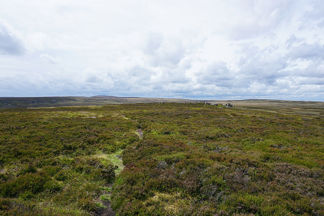
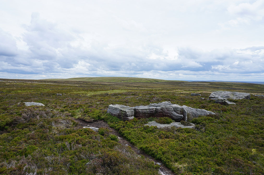
Following the path through the heather to the Alcomden Stones
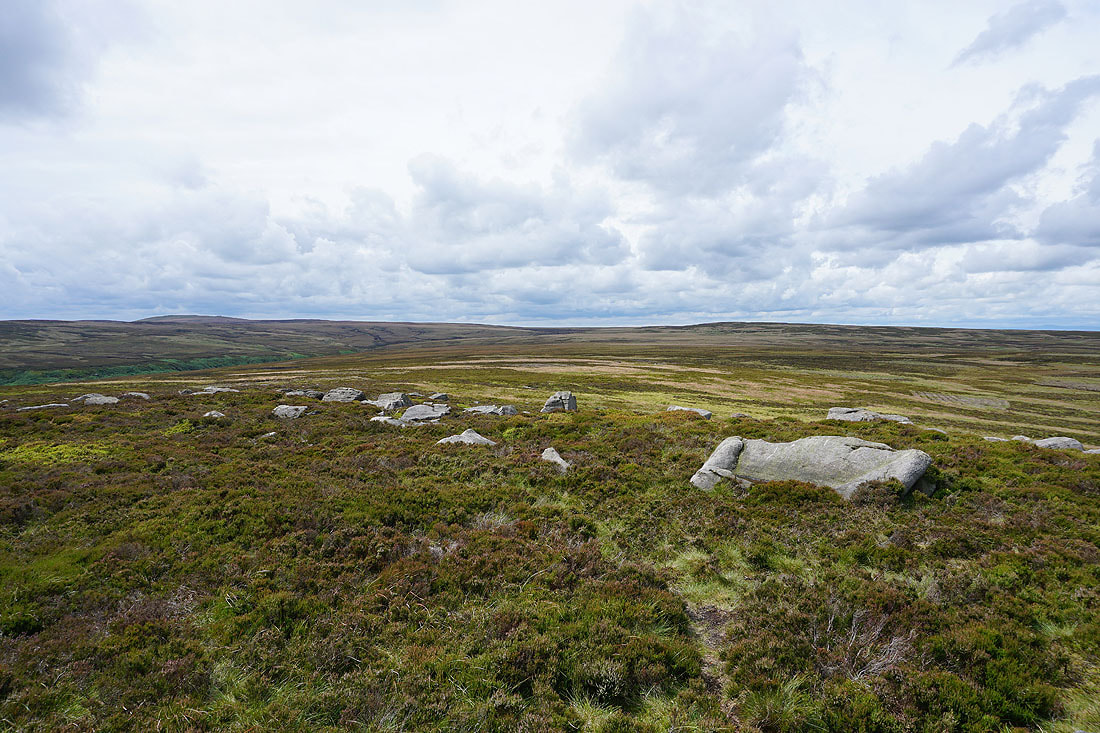
Boulsworth Hill and Crow Hill from the Alcomden Stones
Looking down into the Worth Valley with the moors around Airedale in the distance
The swell of Round Hill to the south
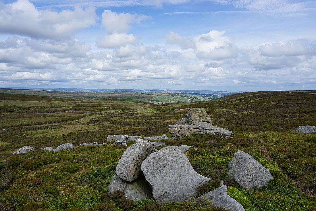
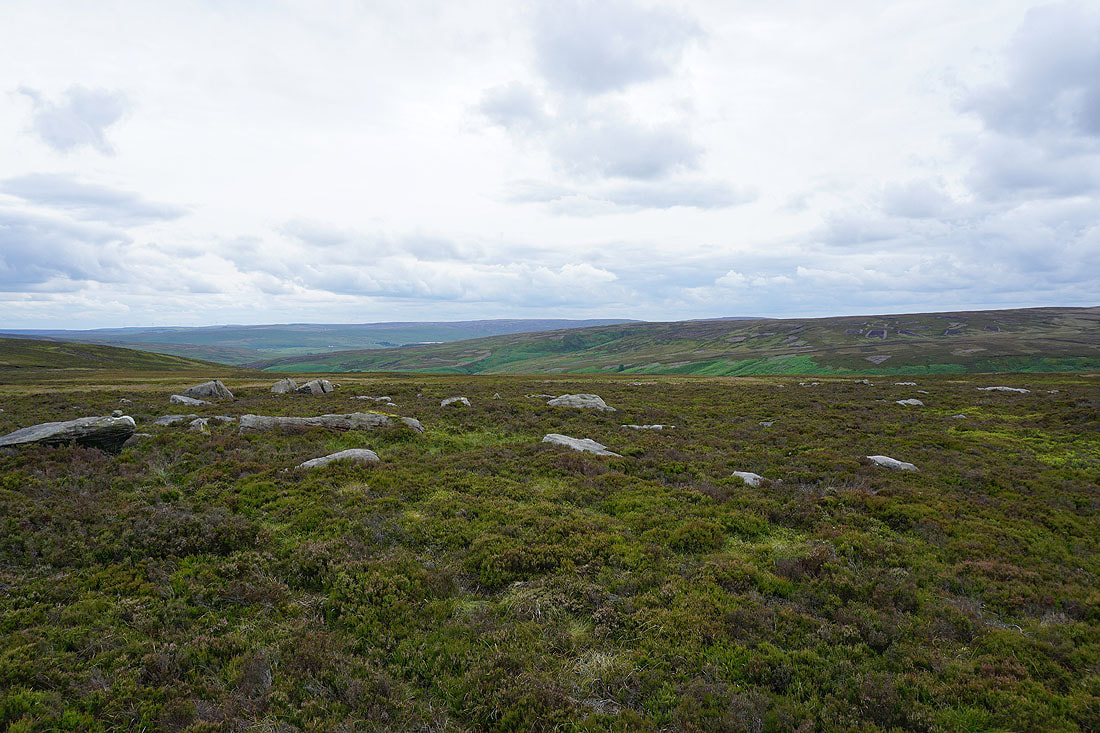
The moors around Walshaw Dean with the hill of Hoof Stones Height in the distance
Back at the trig point on the top of Stanbury Moor and looking towards Oakworth, Haworth and the Worth Valley
The Worth Valley, the moorland of The Height, the valley of South Dean Beck, Penistone Hill and Haworth Moor
Back at Top Withins
From Top Withins I take the path down to South Dean Beck and to Bronte Bridge
Looking back and the tree on the moor marks the site of Top Withins..
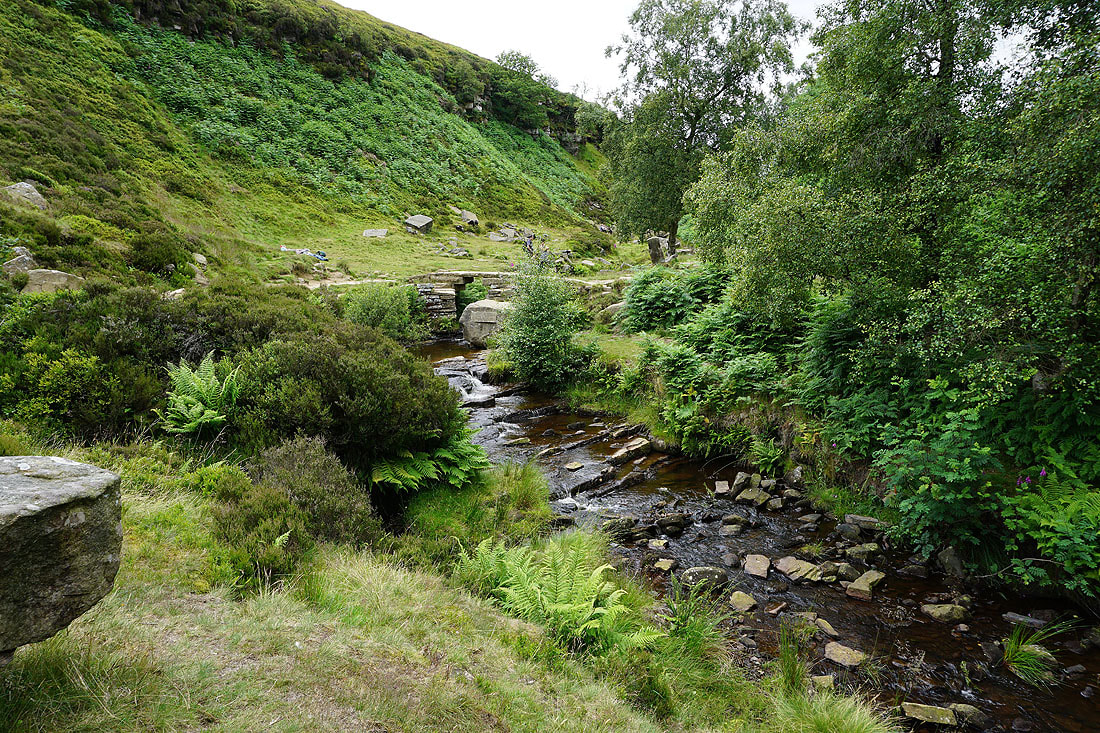
Bronte Bridge over South Dean Beck
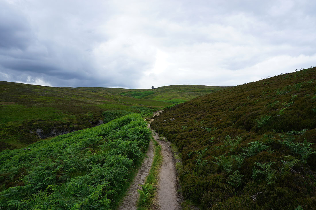
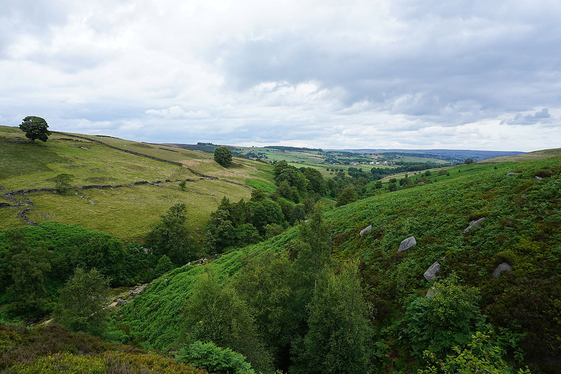
I leave the steep sided valley of South Dean Beck for the footpath up onto Haworth Moor..
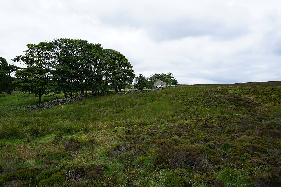
..and to Harbour Lodge
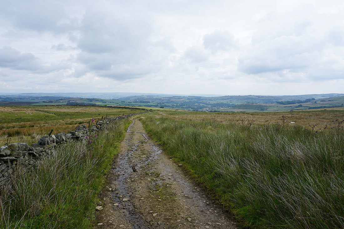
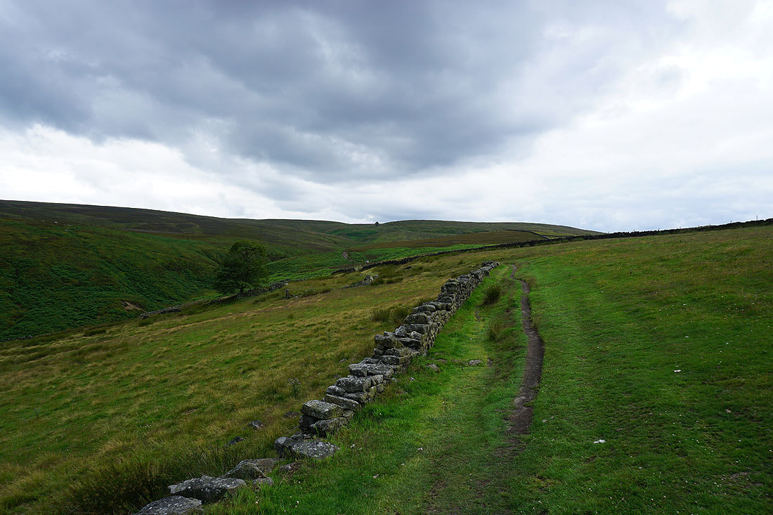
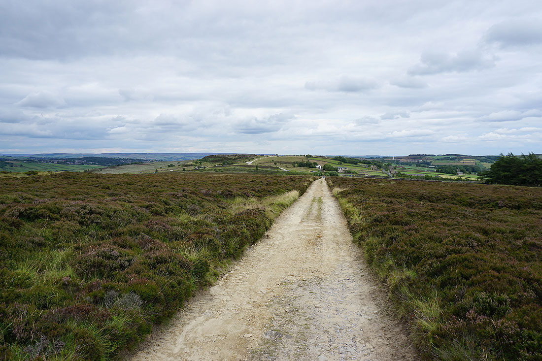
On the track across Haworth Moor to Moor Side Lane
Looking back to Oxenhope Stoop Hill and Harbour Lodge
The moors around Oxenhope and Leeshaw Reservoir
Penistone Hill ahead. Not far to go.
I couldn't resist taking a last photo of the Worth Valley from the car park
