21st June 2015 - The Lothersdale Hills
Walk Details
Distance walked: 8.4 miles
Total ascent: 1796 ft
OS map used: OL21 - South Pennines
Time taken: 5 hrs
Route description: Lothersdale-Tow Top Lane-Babyhouse Lane-Leys Lane-Leys House-Long Lane-Cowling Hill-Cowling Hill Lane-Sweet Brow-Far Surgill Head Farm-Hawshaw Road-The Fold-Knott Barn-White Hill Lane-Calf Edge Farm-Pinhaw Beacon-Pennine Way-Lothersdale
I quite enjoyed this walk across the hills surrounding Lothersdale, a quiet and secretive side valley of Airedale. Most of this territory was new to me except for Pinhaw Beacon, which I'd already visited on a couple of other occasions. I can see myself working out routes for future walks around here. It stayed dry apart from a light shower and although there was quite a cool breeze blowing it did feel warm when the sun decided to show itself.
After parking in the layby at Stansfield Bridge I left Lothersdale by taking the bridleway up to Tow Top Lane. At the end of Tow Top Lane I then turned right and walked down Babyhouse Lane, through the crossroads and to Leys Lane. I briefly walked down Leys Lane until I reached the bridleway to Leys House, which took me down to and across Leys Beck, then eventually up to Long Lane. I then walked up Long Lane, through the hamlet of Cowling Hill and up Cowling Hill Lane to the footpath to Surgill Bottom Farm. I took advantage of the access land on Sweet Brow to leave the public footpath before heading down to and across Surgill Beck and up to Far Surgill Head Farm. Its driveway took me out to Hawshaw Road, then a footpath was followed down to The Fold in Lothersdale. I left the fold for the path up to Knott Barn and White Hill Lane, then the path past Calf Edge Farm took me up onto Pinhaw Beacon. To get back to Lothersdale I just followed the Pennine Way.
Route map
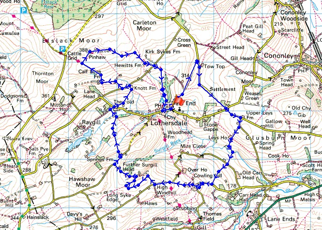
© Crown copyright. All rights reserved. License number PU 100034184.
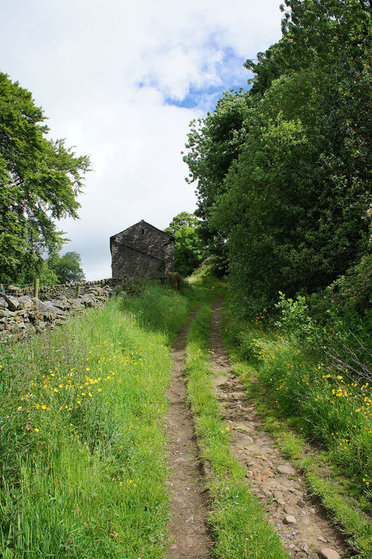
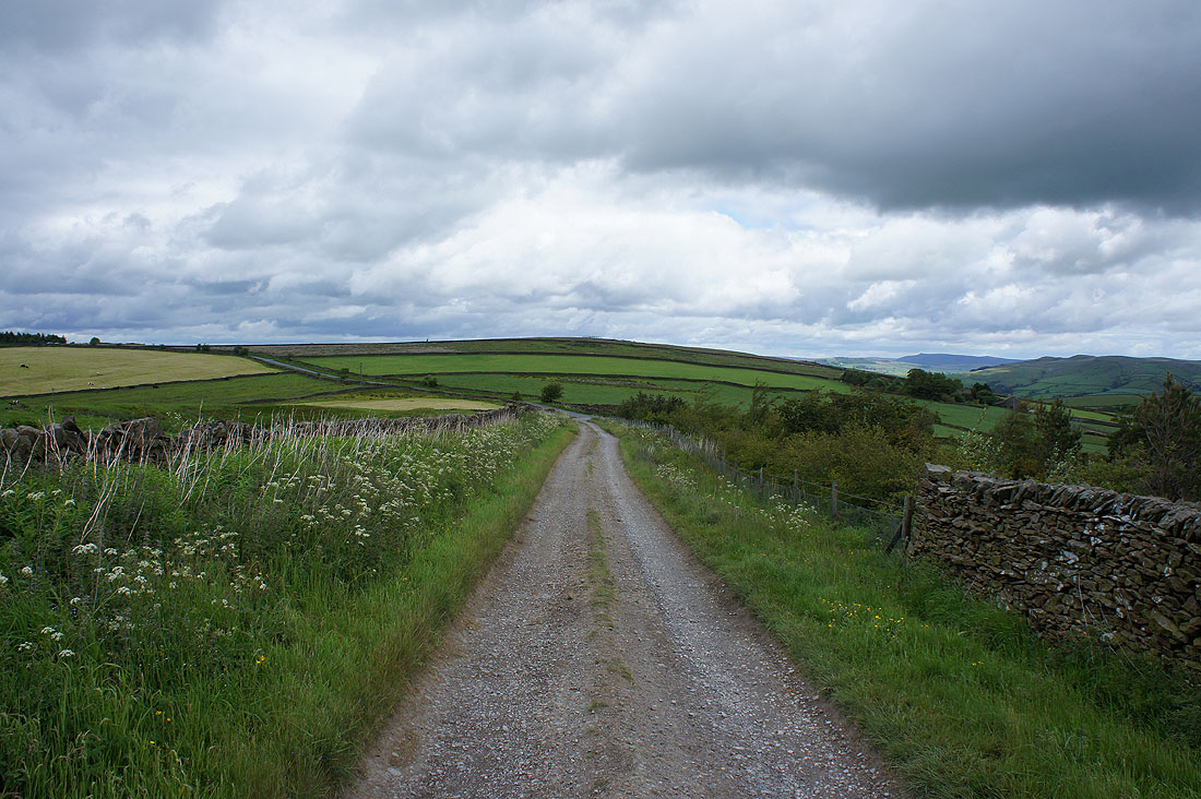
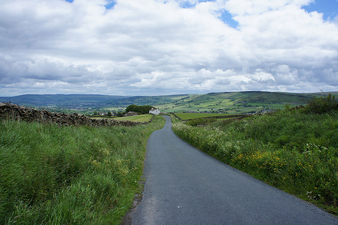
My walk starts with leaving Lothersdale on the bridleway to Tow Top Lane
Looking back to Lothersdale
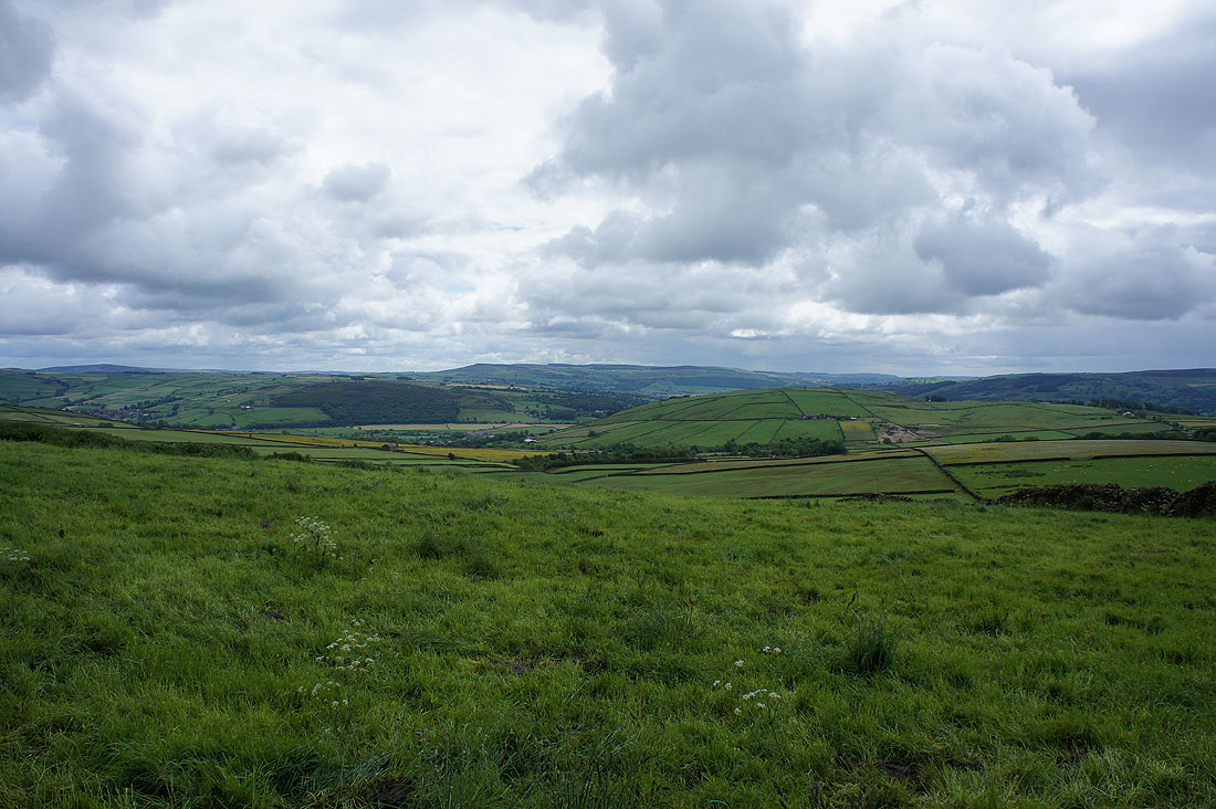
Addingham High Moor and Rivock Moor in the distance on the other side of Airedale from Tow Top Lane
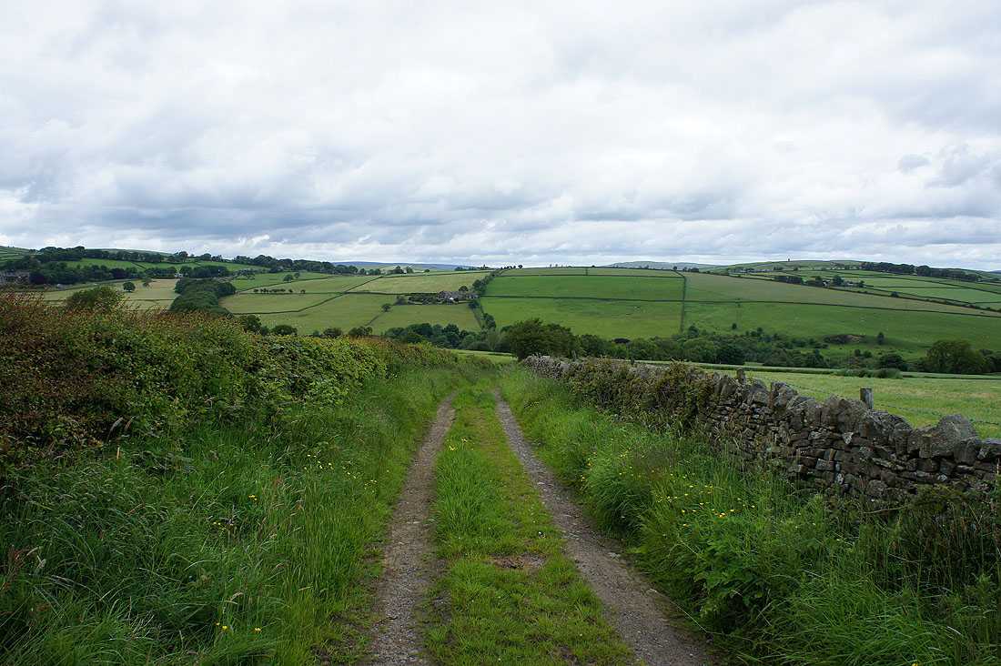
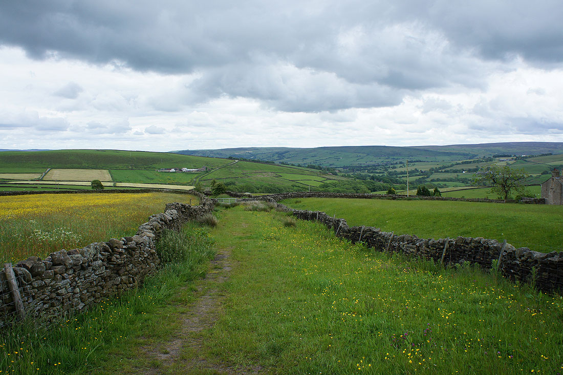
Tow Top Lane comes to an end just ahead and then I have a bit of road walk down Babyhouse Lane
Skipton Moor and Farnhill Moor from Babyhouse Lane
The hill of Gib with a chimney on its top and a former mine on its side
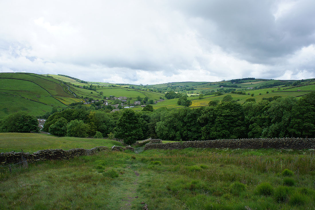
Sweet Brow and Town Edge as I take the bridleway down to Leys House. I'll be crossing those hills later in the day.
A bit further on and the gritstone escarpment of Earl Crag comes into view
Heading down to cross Leys Beck
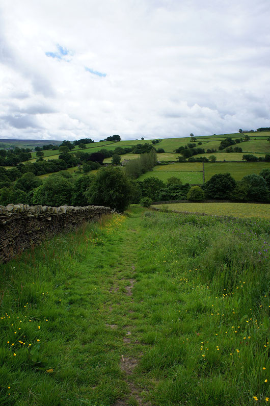
On the way up to Cowling Hill and when I turn around the line of the bridleway I've been following really stands out
Earl Crag above Cowling from Long Lane
Looking back as I walk up Cowling Hill Lane
Skipton Moor in the distance as I take the path onto Sweet Brow
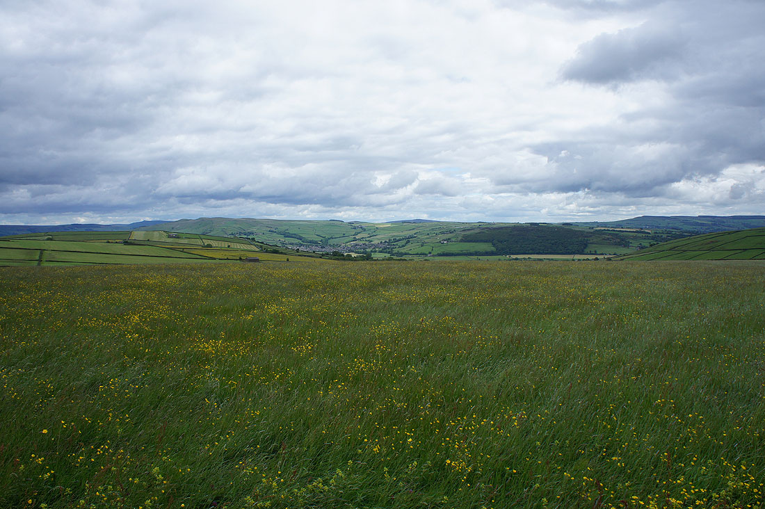
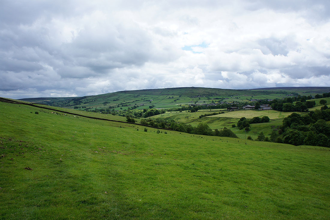
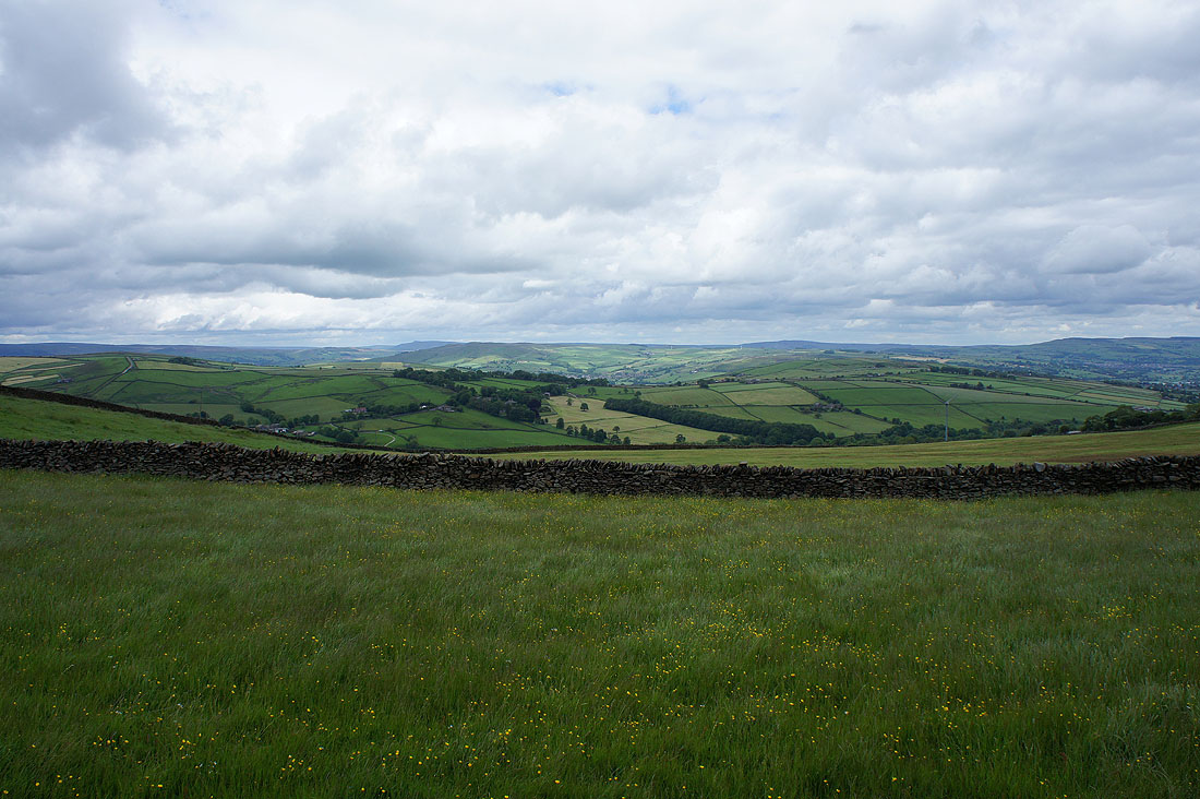
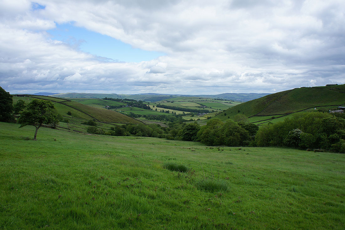
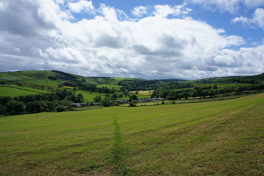
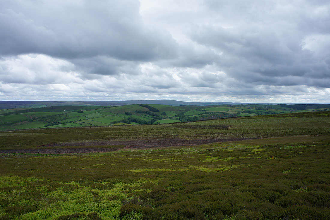
On Sweet Brow. The valley of Surgill Beck is below, then the hill of Town Edge with Lothersdale beyond that and finally the hill of Pinhaw Beacon in the distance.
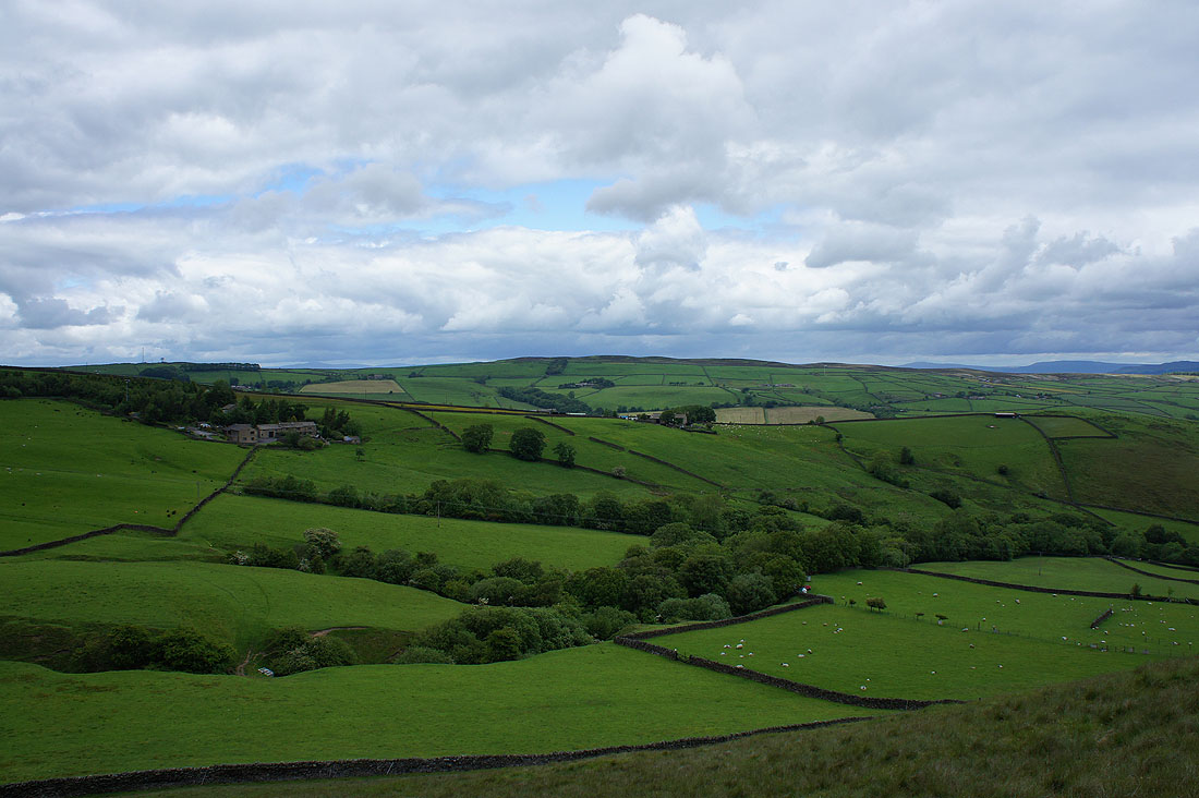
A little on the murky side as I look to Boulsworth Hill
Surgill Beck as I head up to Far Surgill Head Farm
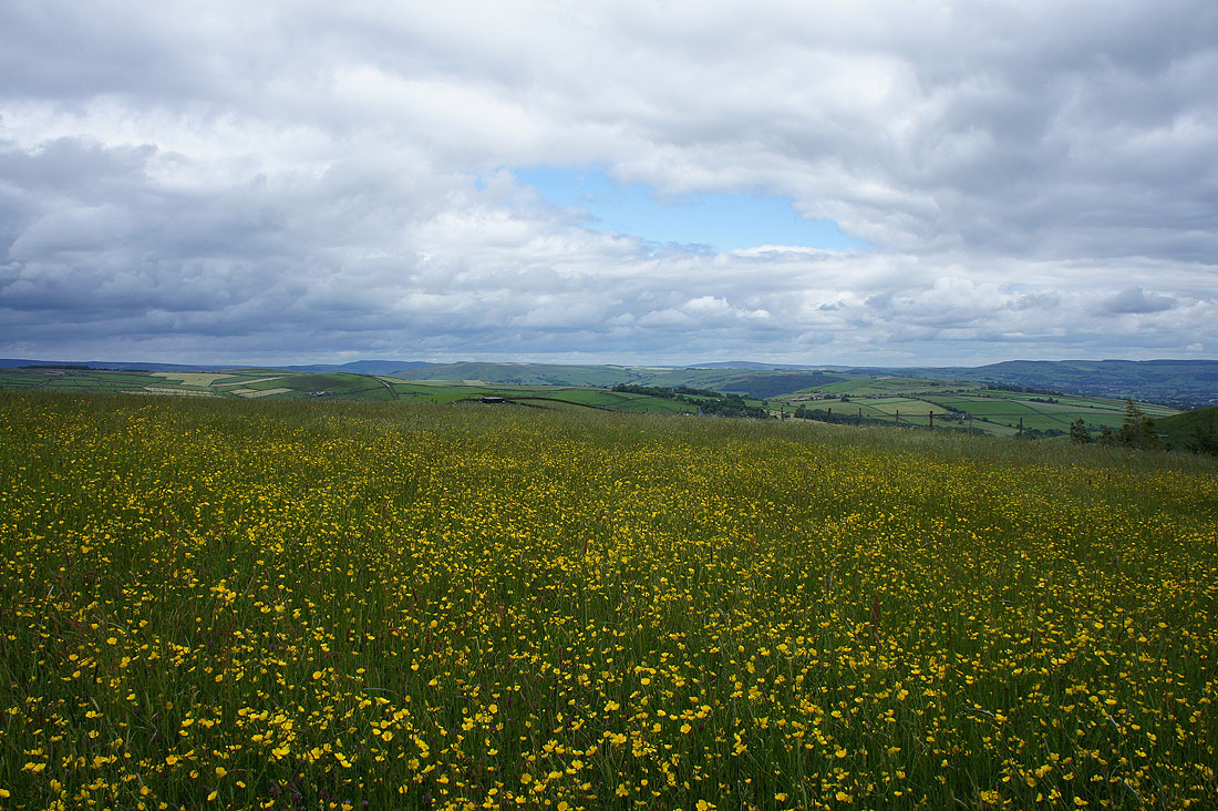
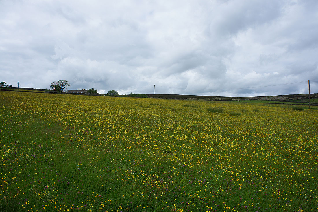
I've been spoilt over recent weeks with views of buttercup filled fields and this one next to the driveway of Far Surgill Head Farm is right up there
Heading down to the hamlet of The Fold in Lothersdale
That's better. A bit of sunshine makes all the difference.
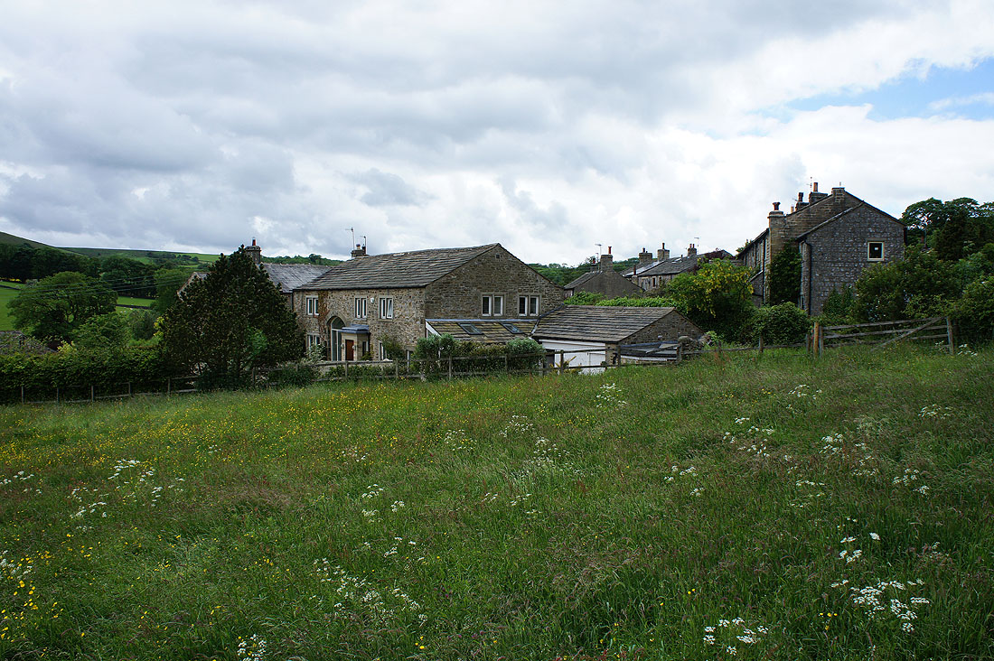
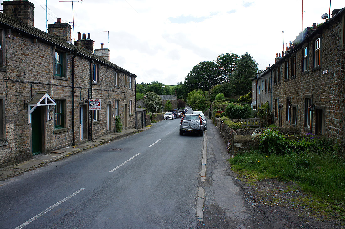
The Fold
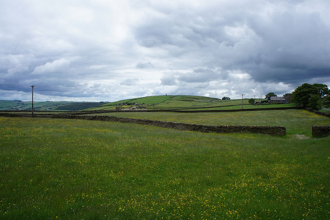
Lothersdale as I head up to Knott Barn
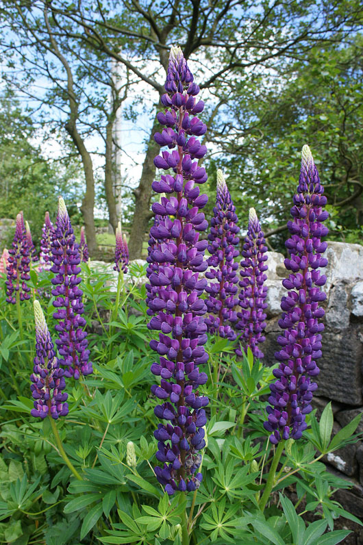
Lots of lupins
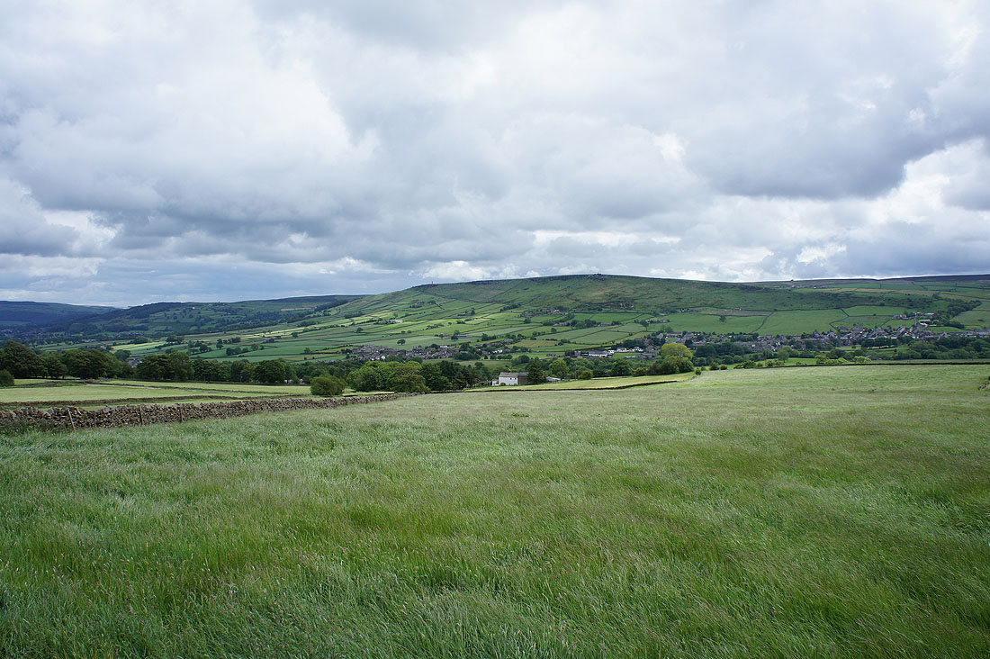
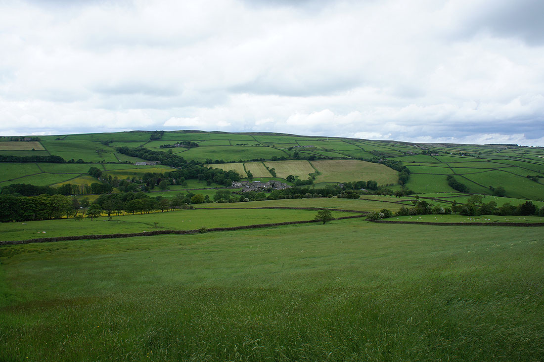
Lothersdale with Earl Crag in the distance from White Hill Road
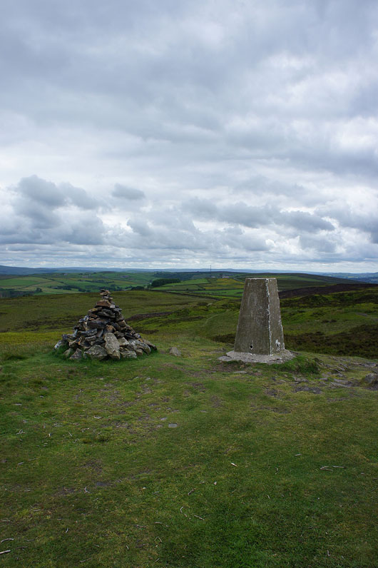
Finally at the high point of the walk, Pinhaw Beacon
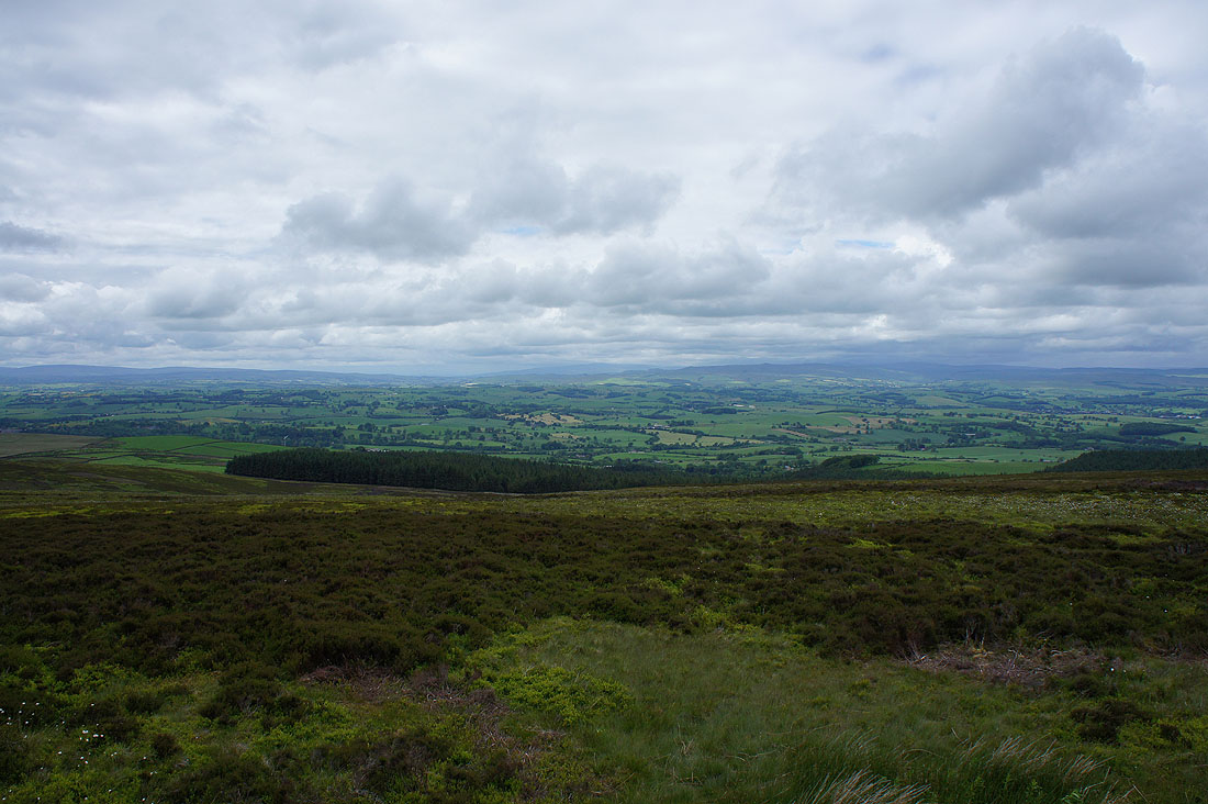
Pendle Hill on the left with the Forest of Bowland on the right
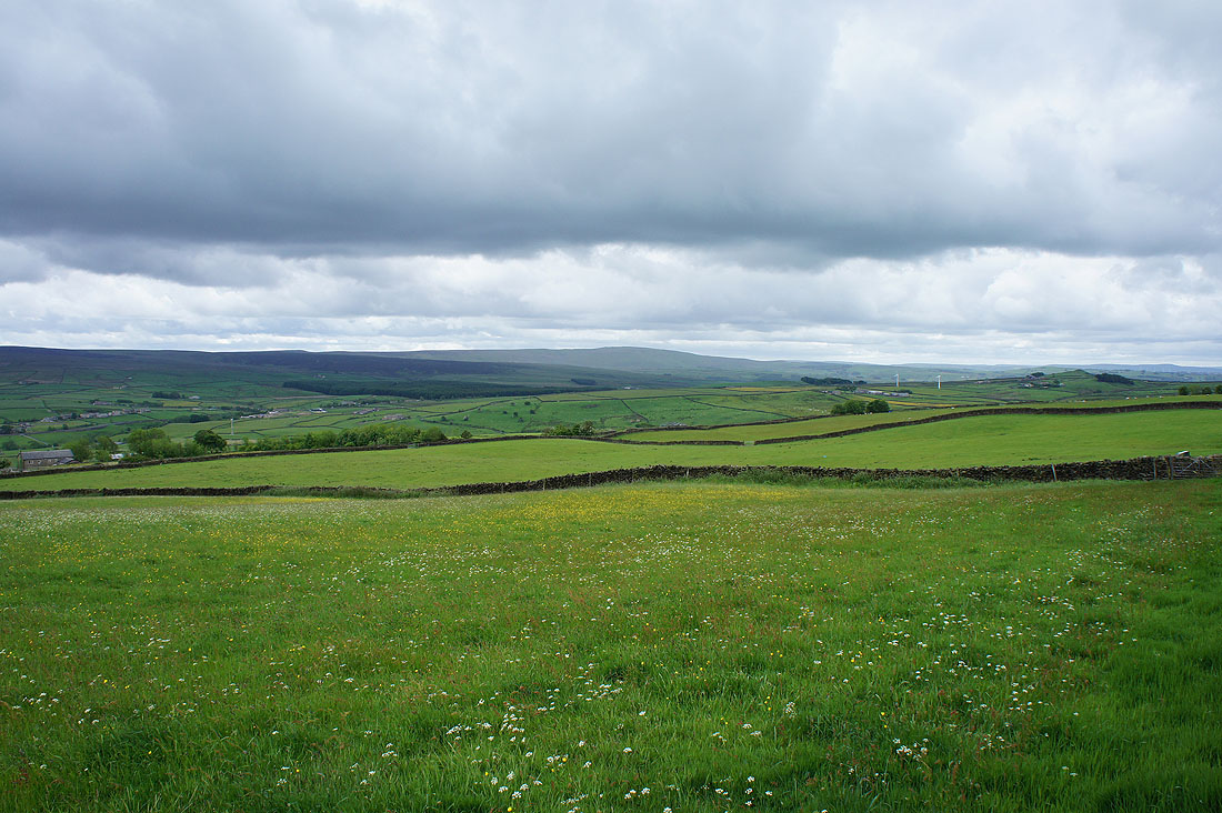
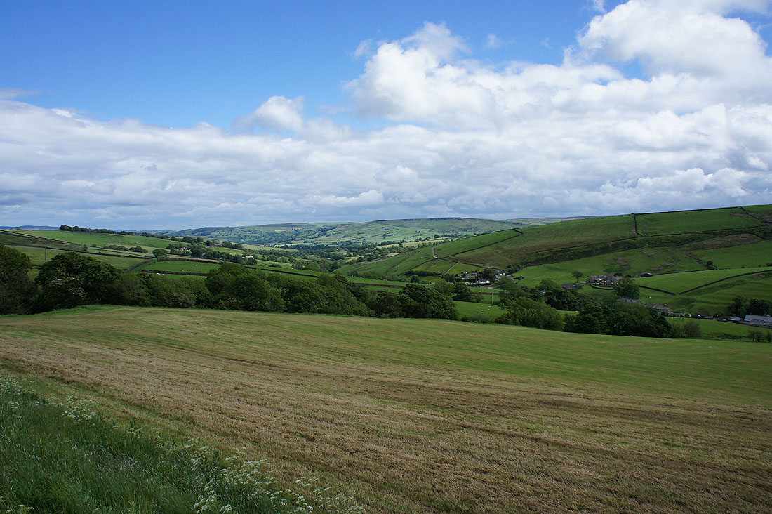
Murky weather as I look towards the hills of the Yorkshire Dales. It looks like the cloud is covering the highest tops.
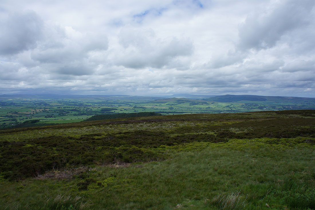
Boulsworth Hill beyond the hills I crossed earlier in the day
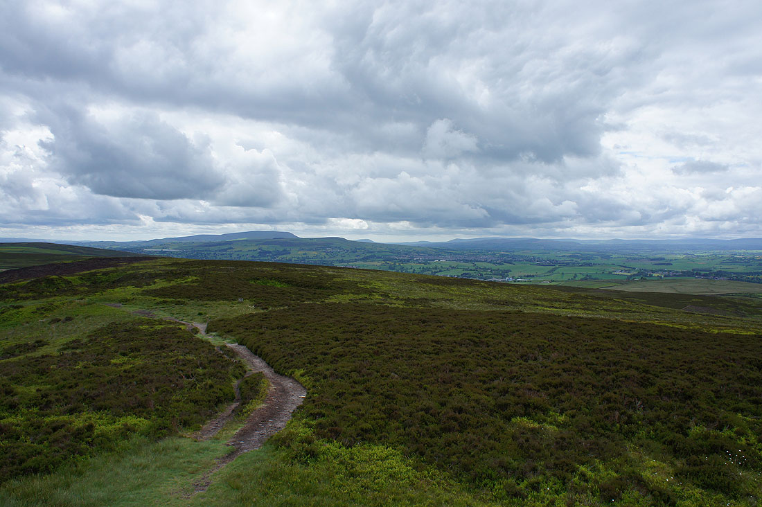
On the Pennine Way back to Lothersdale
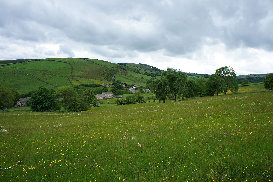
A field below Kirk Sykes Farm and I couldn't resist taking another buttercup photo
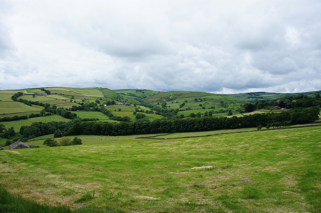
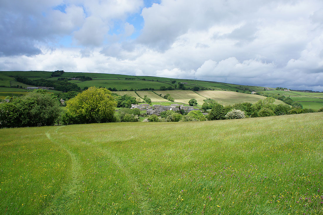
Lothersdale below Town Edge
Back in Lothersdale