21st March 2009 - The Langdale Pikes
Walk Details
Distance walked: 5.9 miles
Total ascent: 2648 ft
OS map used: OL6 - The English Lakes, South-western area
Time taken: 5 hrs
Route description: NT Stickle Barn car park, Great Langdale-Mark Gate-Loft Crag-Pike o'Stickle-Harrison Stickle-Pavey Ark-Thunacar Knott-Sergeant Man-Stickle Tarn-Stickle Ghyll-NT Stickle Barn car park, Great Langdale
A round of the Langdale Pikes taking in Loft Crag, Pike o'Stickle, Harrison Stickle, Pavey Ark, Thunacar Knott and Sergeant Man. A very hazy day though so there were no long distance views and I didn't take many pictures.
Route map
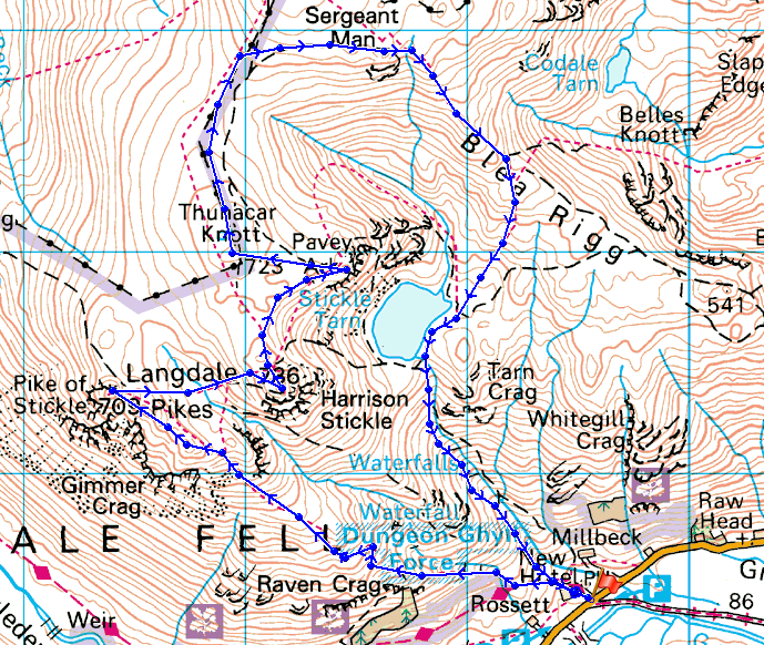
© Crown copyright. All rights reserved. License number PU 100034184.
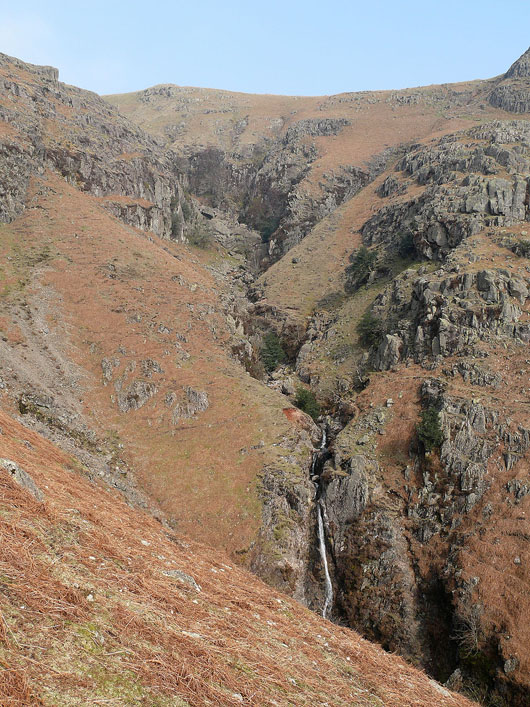
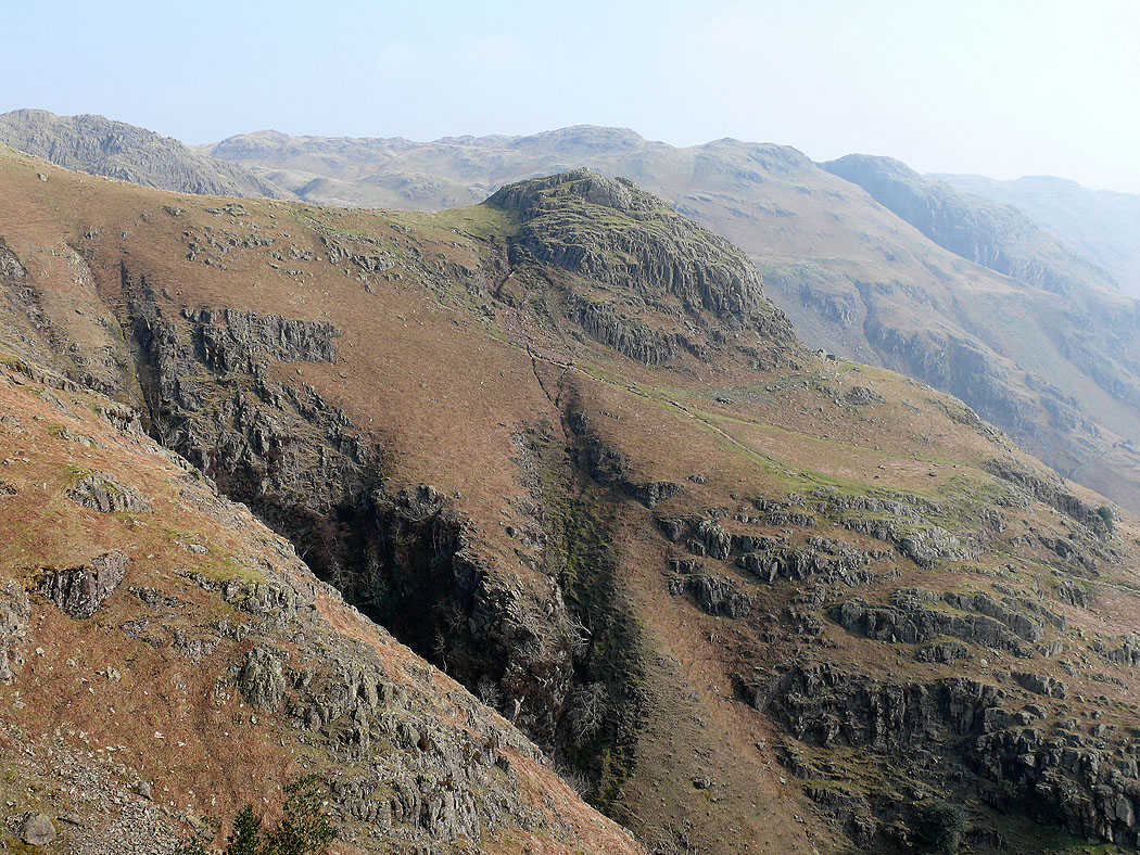
Dungeon Ghyll from the Mark Gate path
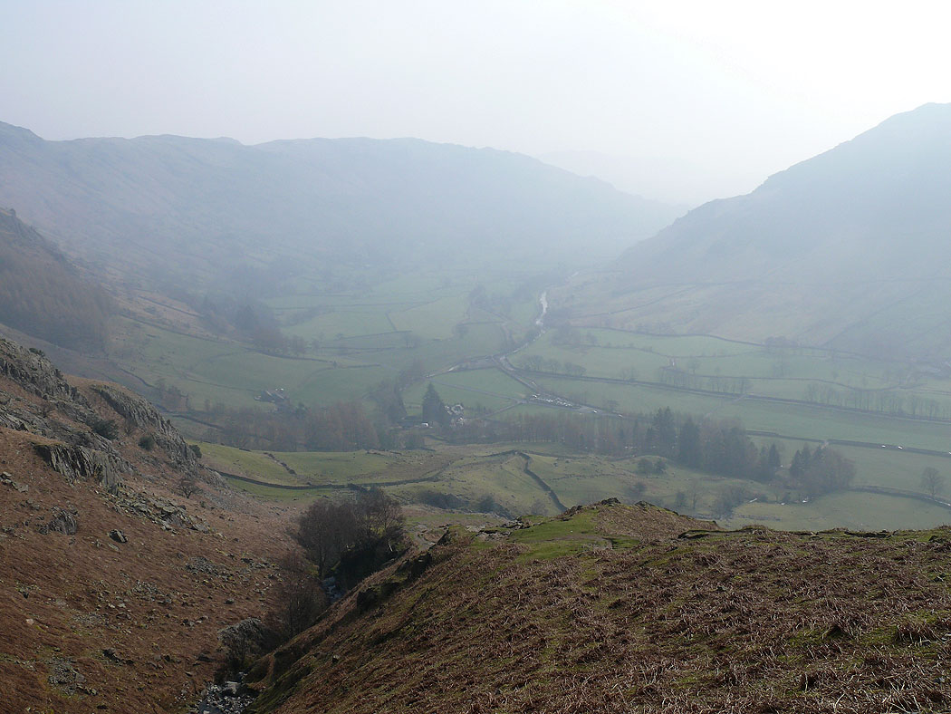
Great Langdale
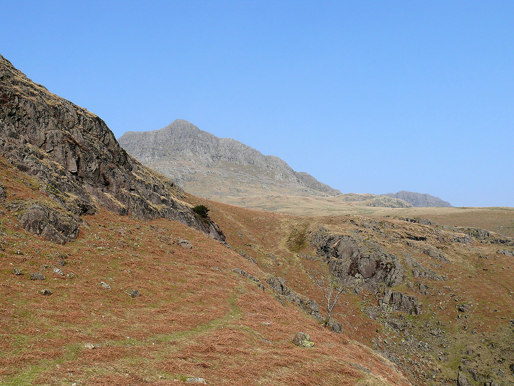
Harrison Stickle above
Pike Howe
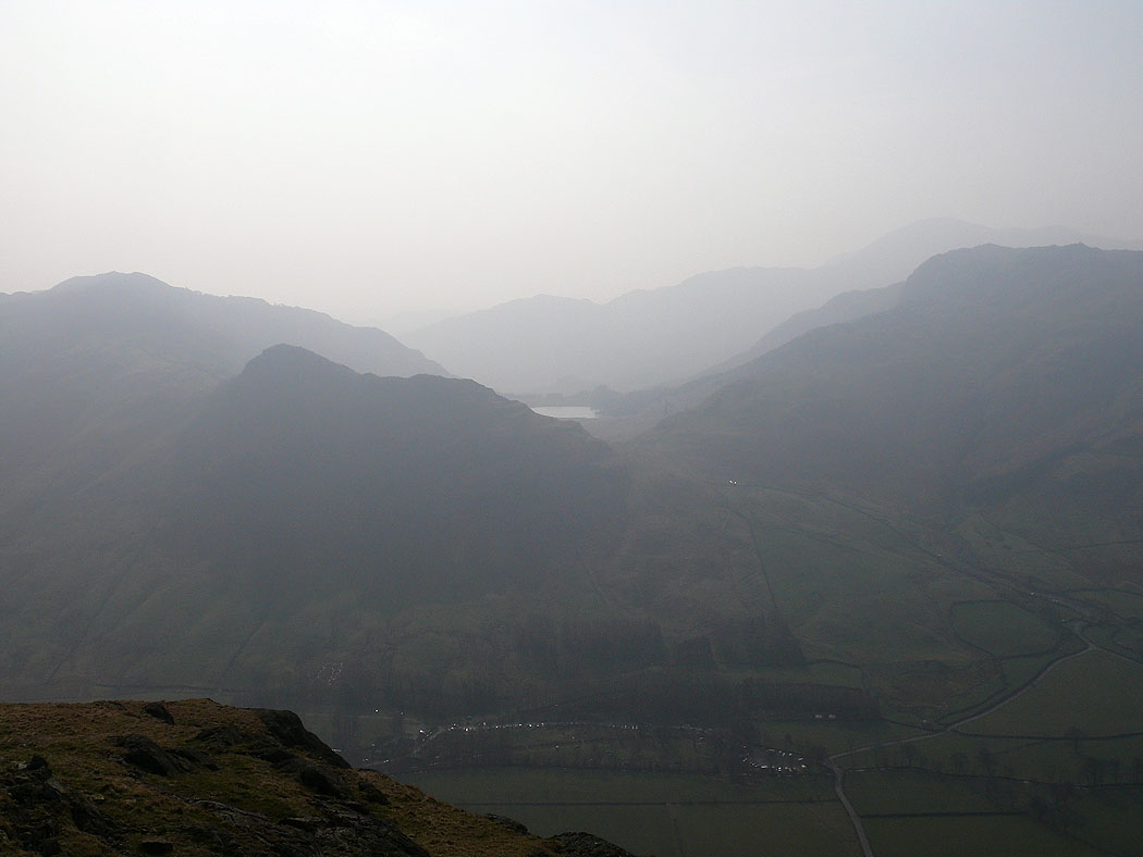
Lingmoor Fell, Side Pike and Blea Tarn
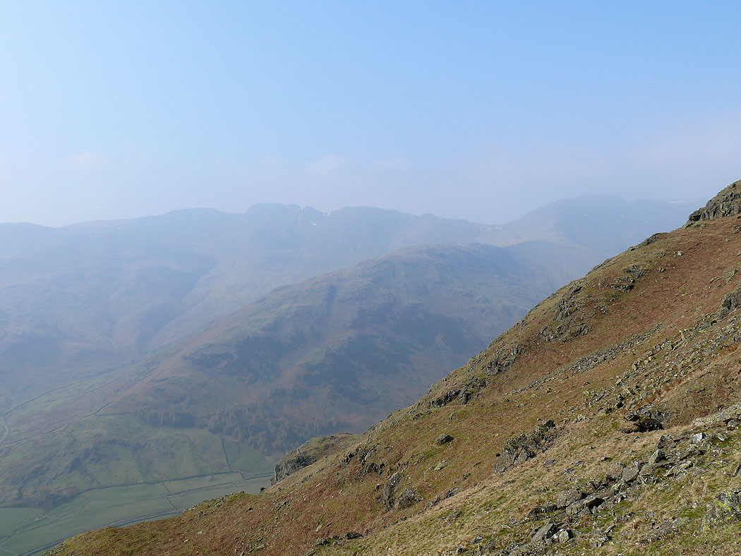
Crinkle Crags, Bowfell and The Band
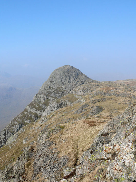
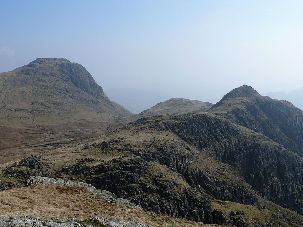
Pike o'Stickle from the summit of Loft Crag
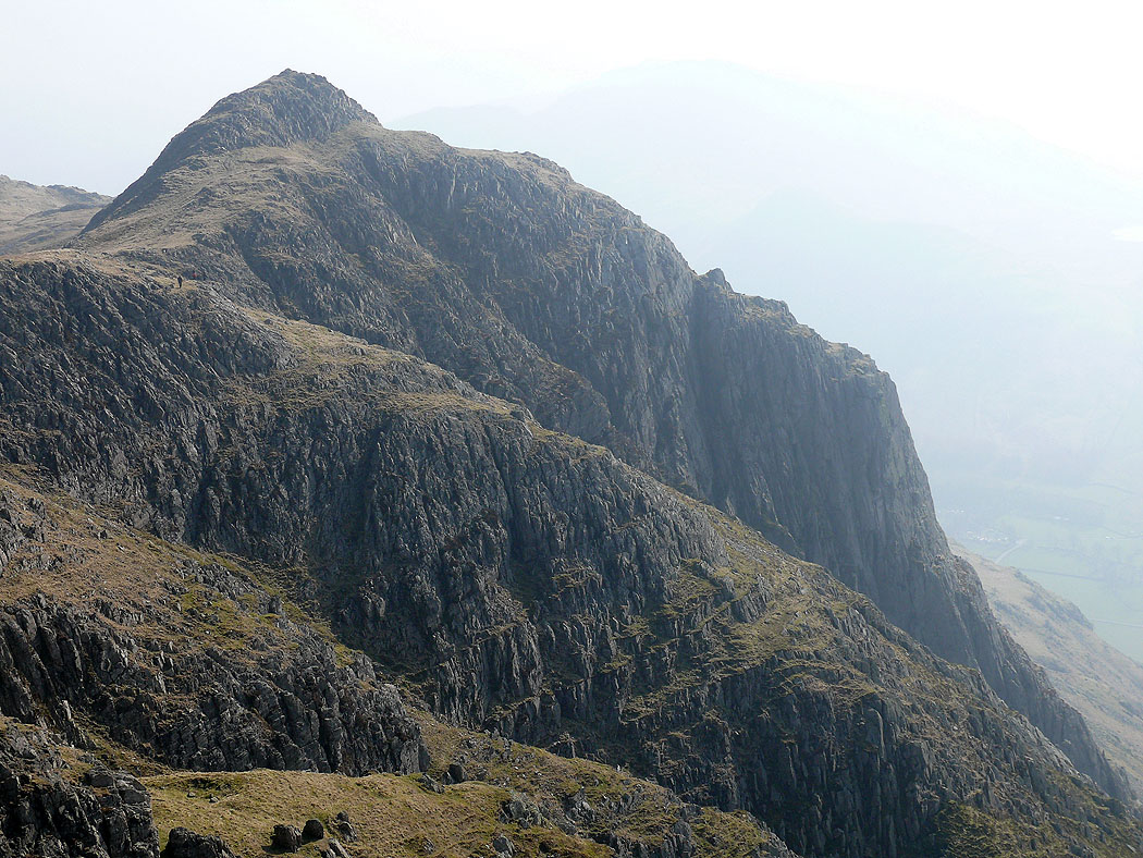
Harrison Stickle and Loft Crag from Pike o'Stickle
Zooming in on Gimmer Crag
Bowfell on the other side of Mickleden
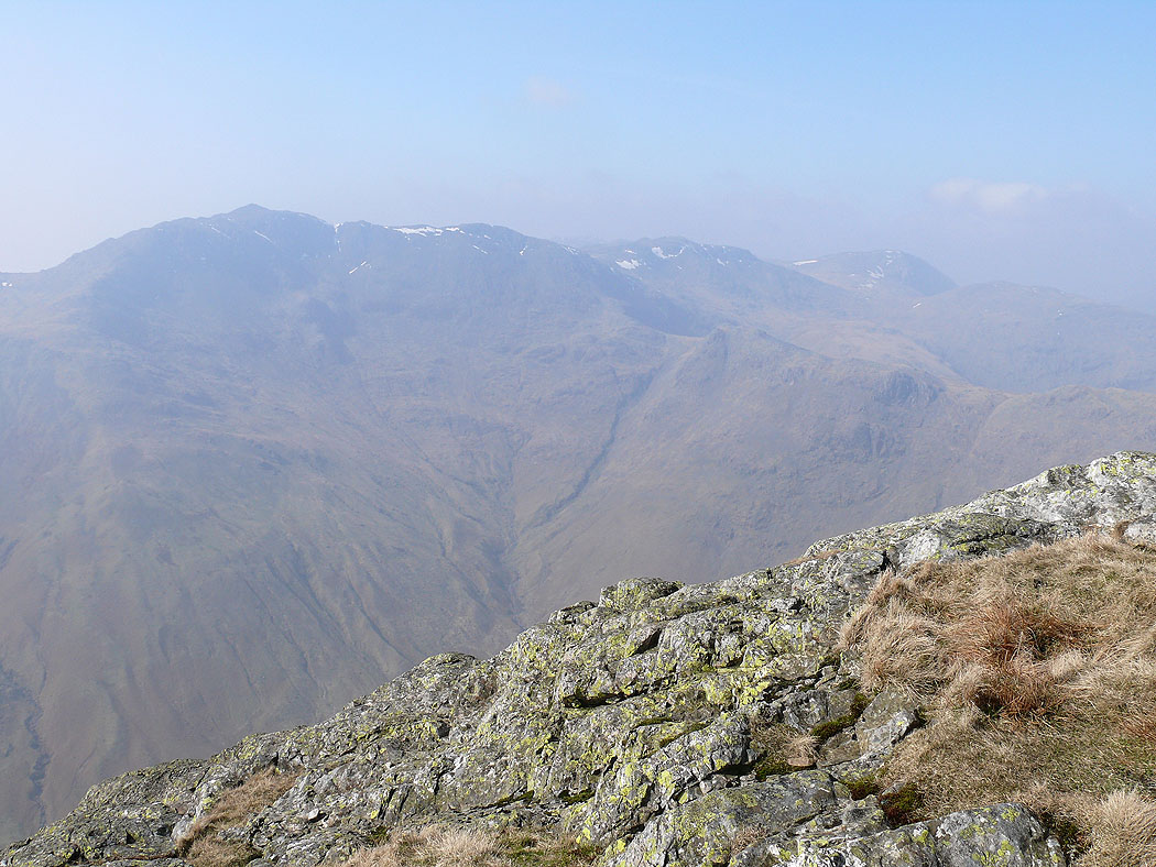
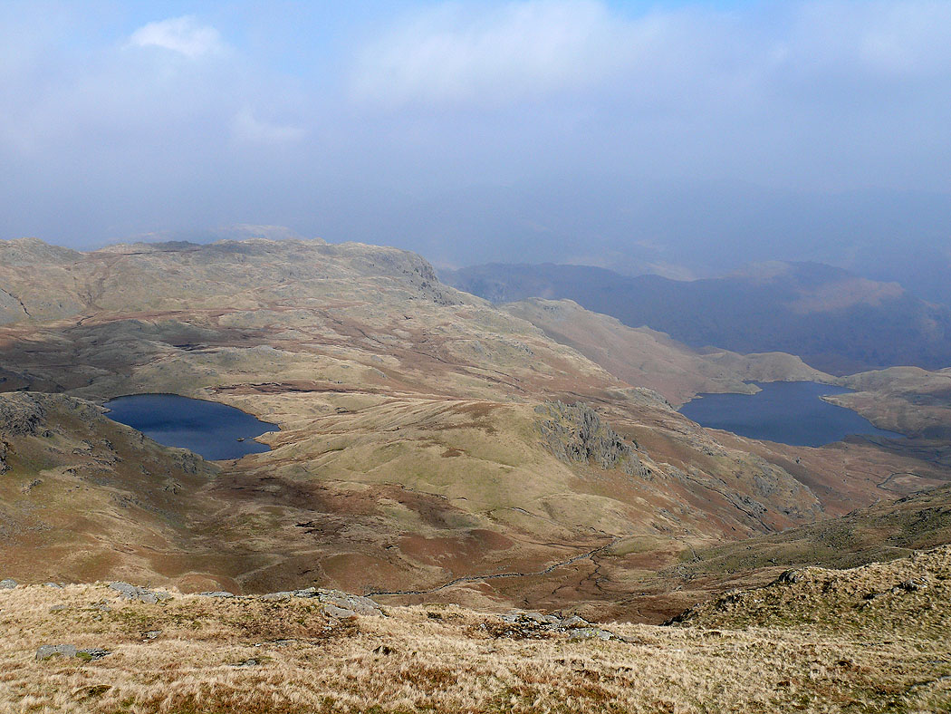
I've arrived on the summit of Sergeant Man after passing over the summits of Harrison Stickle, Pavey Ark and Thunacar Knott. It was so hazy that my camera couldn't really focus on anything. The view here shows a bit of Stickle Tarn with the summits of Pavey Ark and Harrison Stickle.
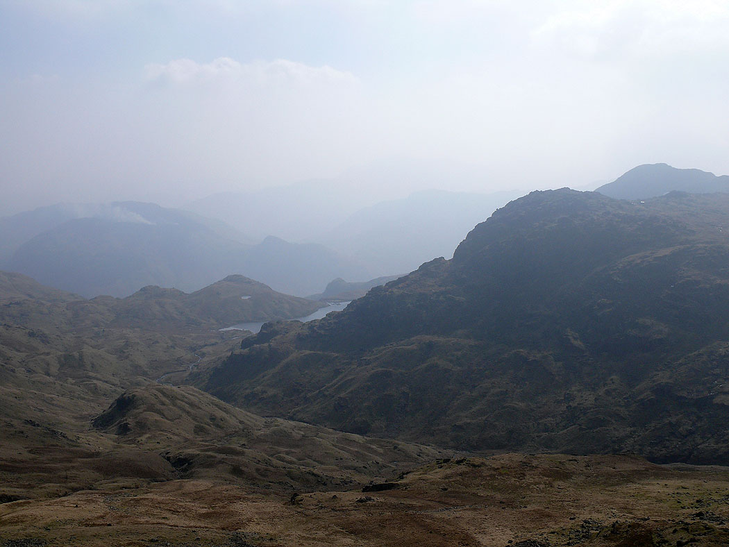
Codale Tarn and Easedale Tarn as I head for Stickle Tarn and my route back down