21st March 2015 - Heptonstall Moor
Walk Details
Distance walked: 7.5 miles
Total ascent: 1389 ft
OS map used: OL21 - South Pennines
Time taken: 5 hrs
Route description: NT car park, Clough Hole-Clough House Farm-Pennine Way-Standing Stone Hill-Reaps Cross-Reaps Edge-Raistrick Greave-Gorple Lower Reservoir-Gorple Cottages-Pennine Way-Ridge Scout-Black Dean-Hebden Dale-Gibson Mill-NT car park, Clough Hole
There's a fine weekend forecast and although tomorrow will be the better day and I have a full days walk planned, I couldn't resist popping out somewhere this afternoon. I decided to do this route around Heptonstall Moor above Calderdale. It was a great way to spend a few hours, the moorland still has its winter colours with the bleached grass and dead bracken. My favourite bit was the path along Ridge Scout above Graining Water, there was a fantastic range of colours in the spring sunshine.
From the NT Clough Hole car park on the Widdop Road I crossed the road and took the footpath opposite up the drive of Clough House Farm. The path goes round the farm and then uphill to join the Pennine Way to head for Standing Stone Hill. I left the Way to follow a line of grouse butts up to the trig point on the summit. I made my way down the other side and over to visit Reaps Cross, then along Reaps Edge to the ruin of Raistrick Greave. A path then follows Clegg Foot down to Reaps Water and up to a reservoir access track. The track took me past Gorple Lower Reservoir and over its dam to Gorple Cottages. Here, I briefly joined the Pennine Way again to head down to Graining Water. A couple of footbridges were crossed and after making my way uphill I left the Pennine Way for the path along Ridge Scout. The path ends at the Widdop Road, I crossed it and followed the path by Hebden Water before heading uphill for a higher level one that heads down Hebden Dale to join Hebden Water further down the valley. When I reached Gibson Mill I had a steep climb back up to the car park.
Route map
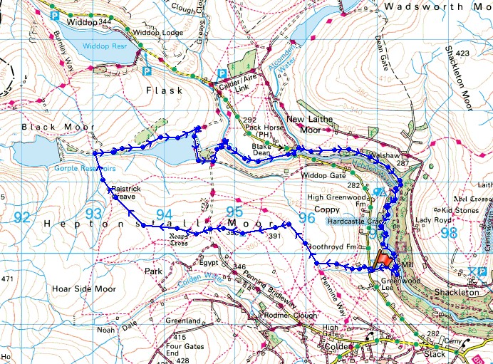
© Crown copyright. All rights reserved. License number PU 100034184.
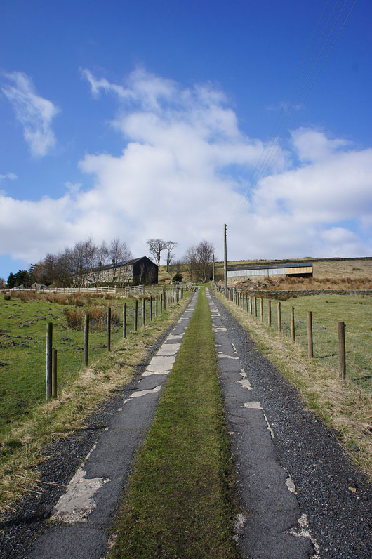
On the driveway to Clough House Farm, it's directly opposite the car park. The footpath then goes round the farm.
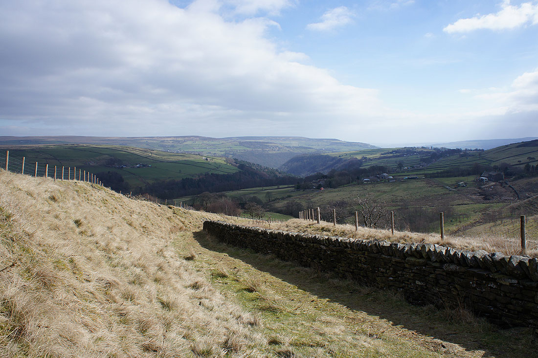
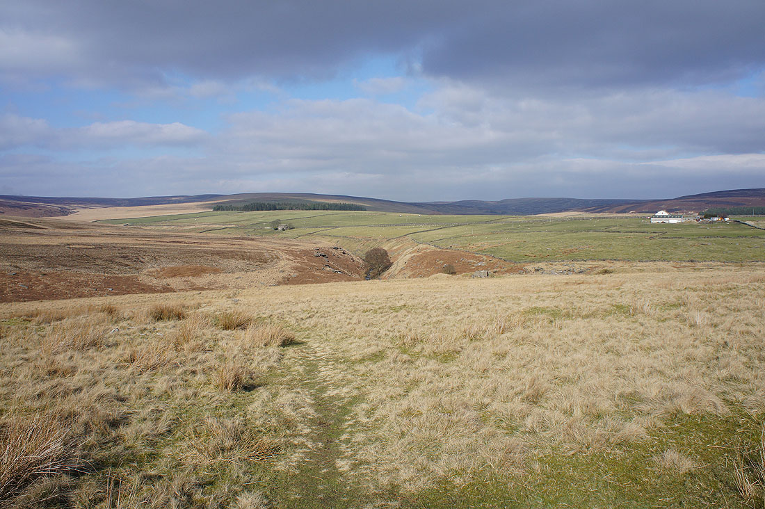
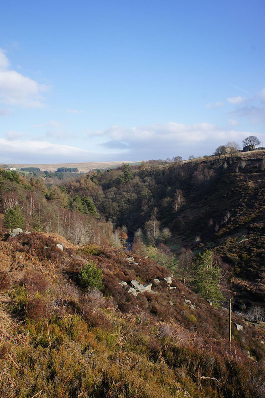
A bit higher up and there's a view back down to Hebden Dale
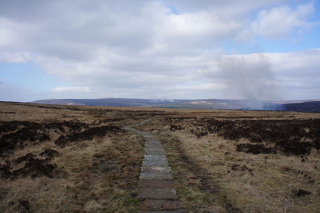
Briefly on the Pennine Way as I head for Standing Stone Hill. The smoke is from heather burning on the nearby moors.
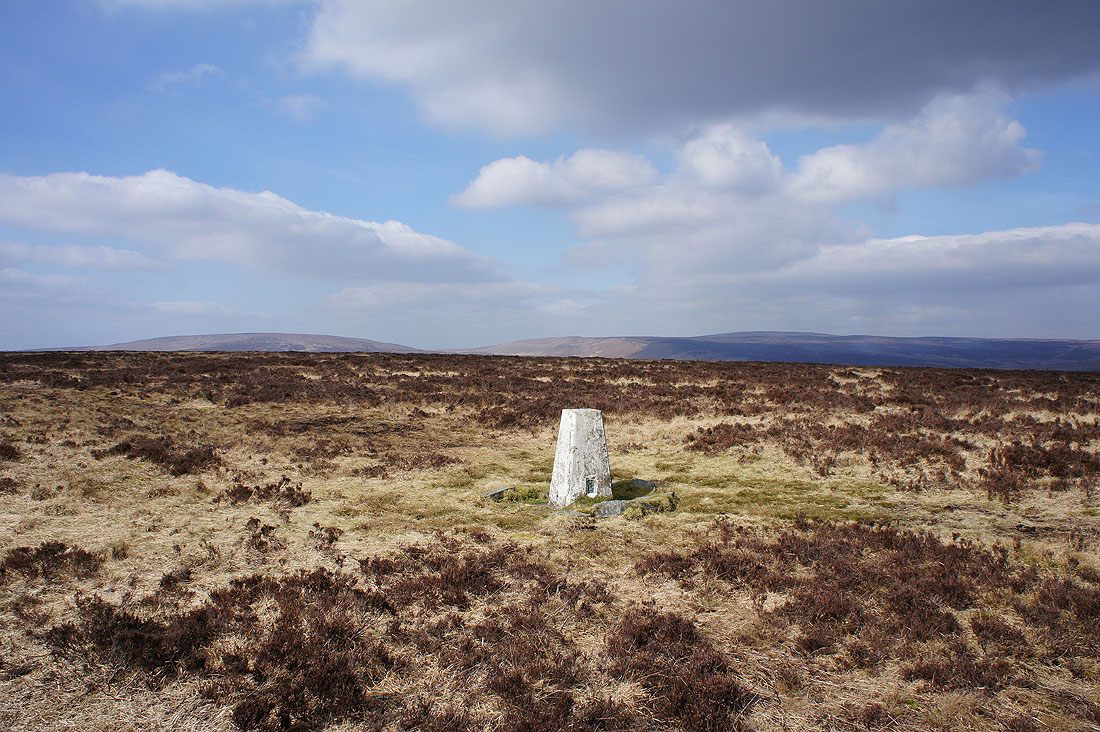
On the summit of Standing Stone Hill. Looking northwest to the Widdop Moors with Boulsworth Hill the high point on the right.
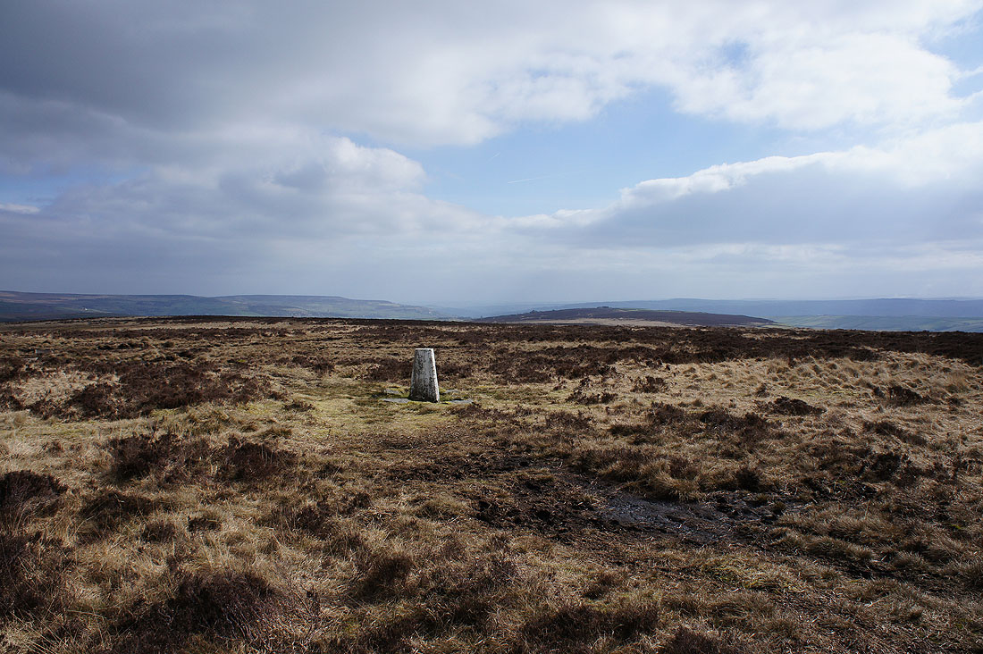
and looking in the other direction towards Calderdale
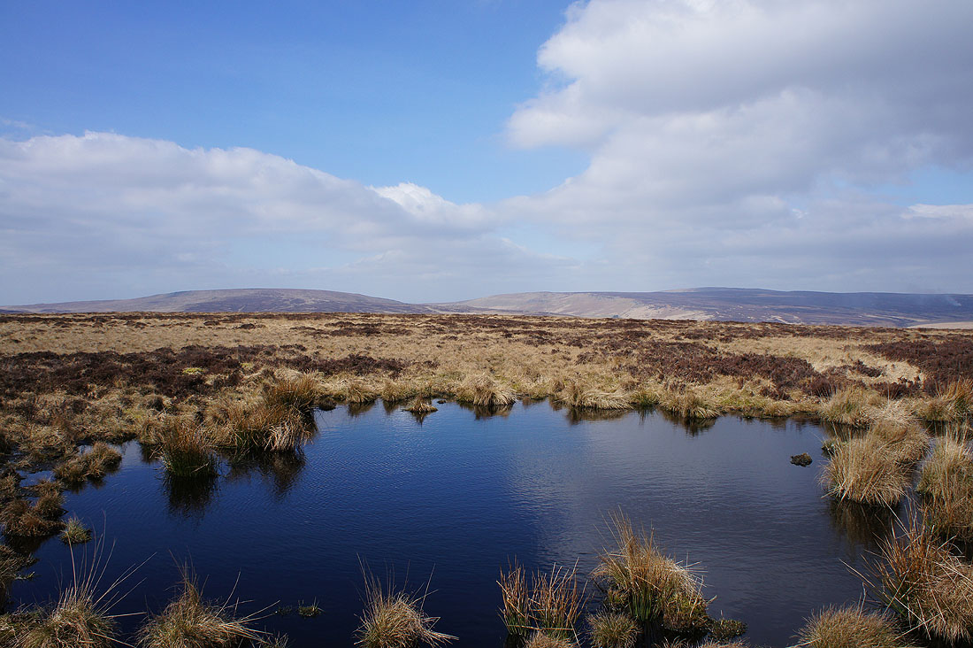
Couldn't resist taking a photo of the sky reflected in this peaty pool
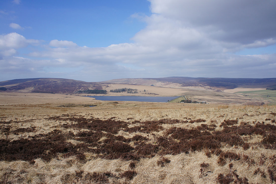
Gorple Lower Reservoir comes into view on the other side of Standing Stone Hill
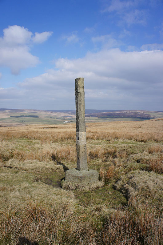
Reaps Cross. What was left was restored and re-erected in 2002.
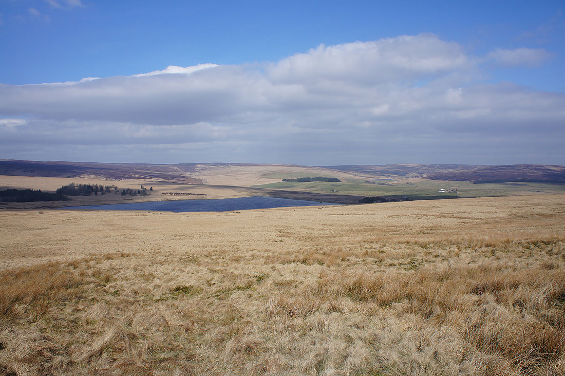
Gorple Lower Reservoir from Reaps Edge on Heptonstall Moor
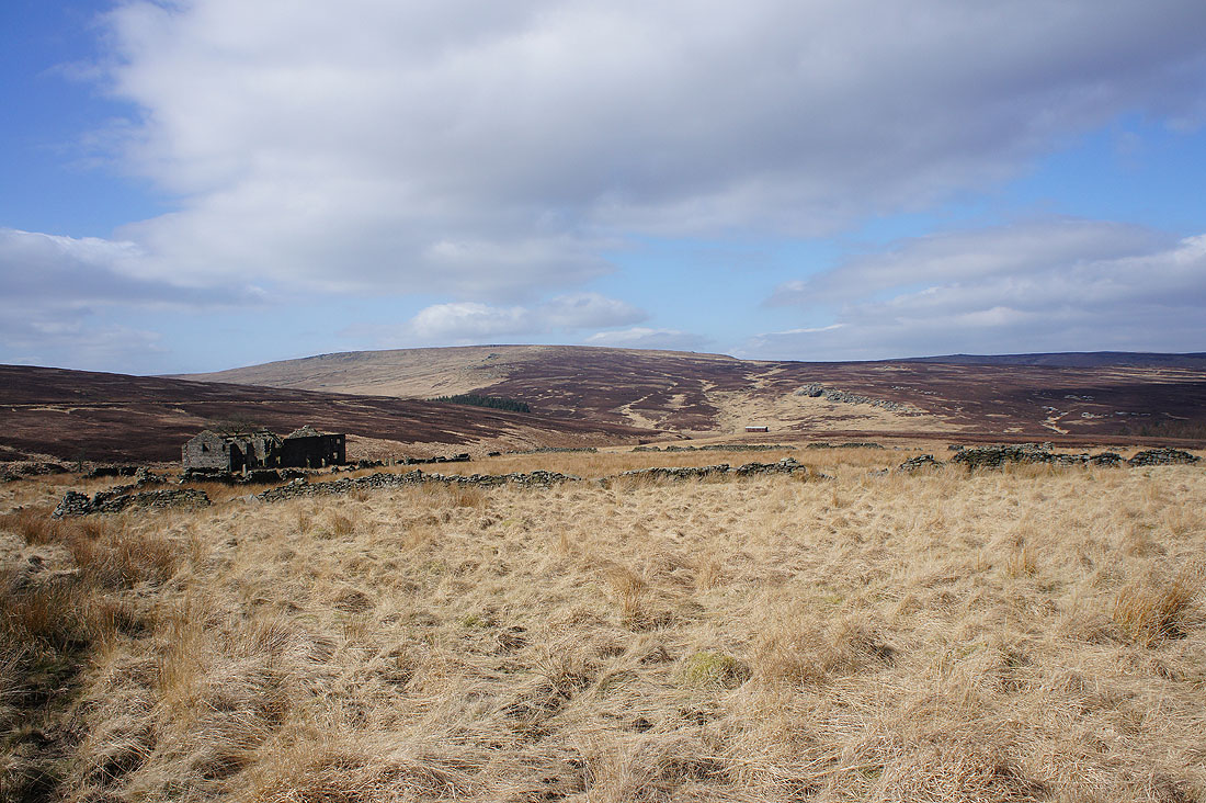
Approaching the ruins of Raistrick Greave
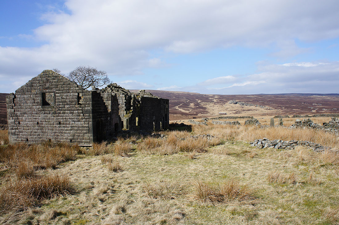
It's a bleak place. I assume it was abandoned when the Gorple Reservoirs were built.
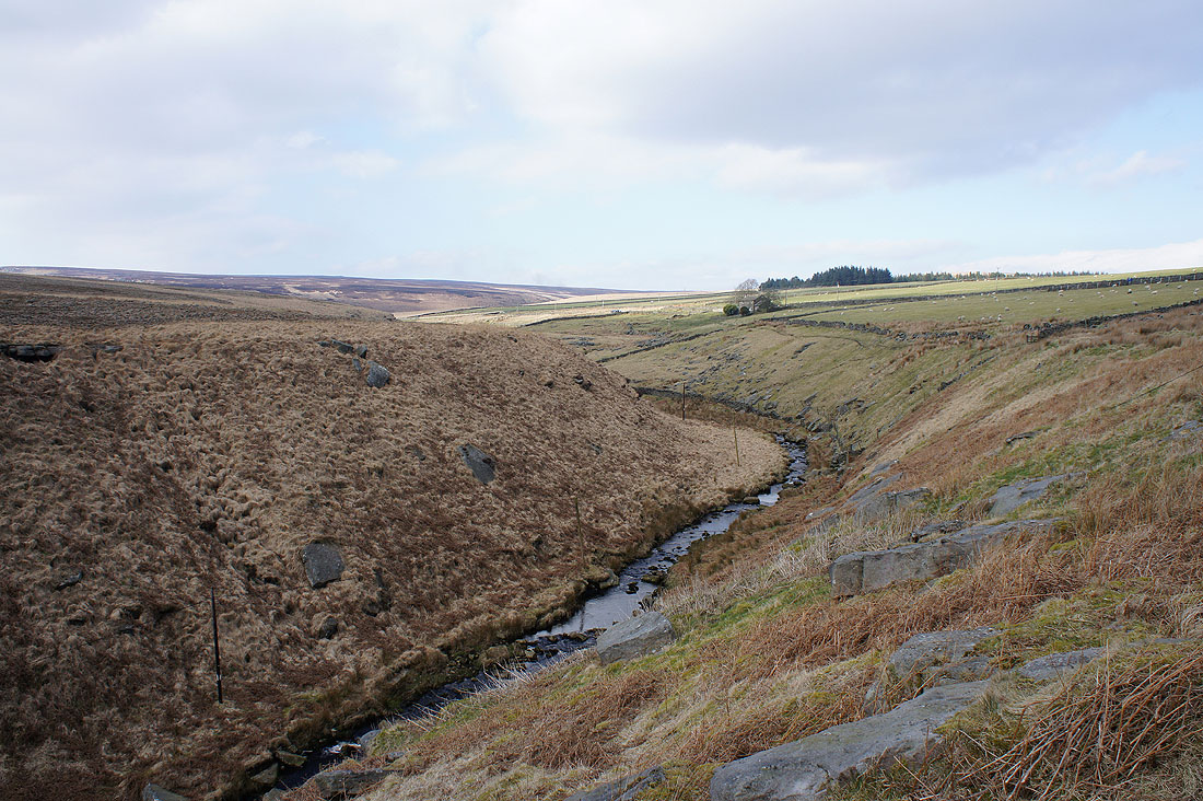
On the path above the stream of Clegg Foot. It will take me down to the footbridge over Reaps Water and then the track to Gorple Lower Reservoir.
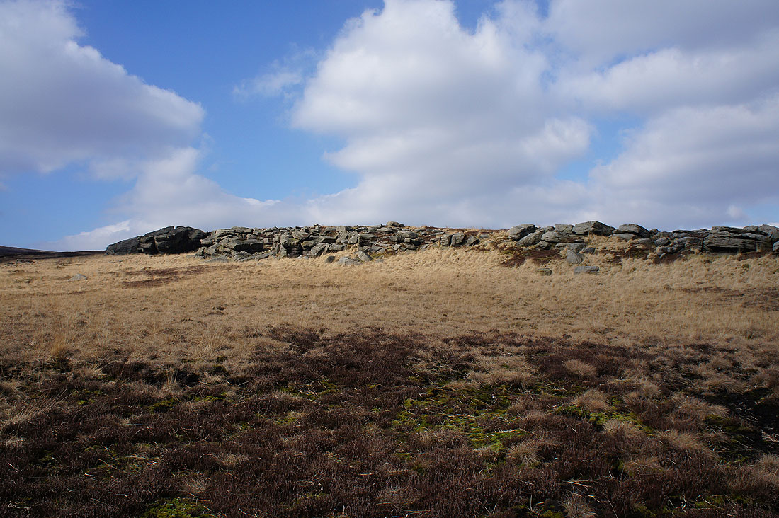
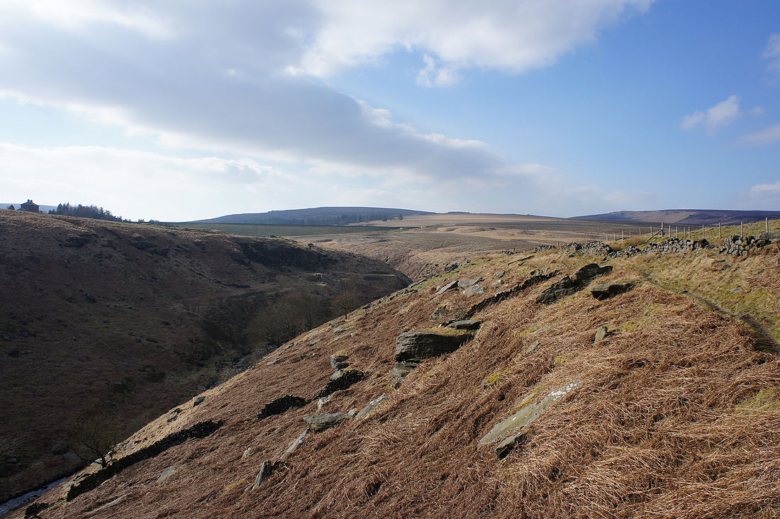
The gritstone edge of Dicken Rocks
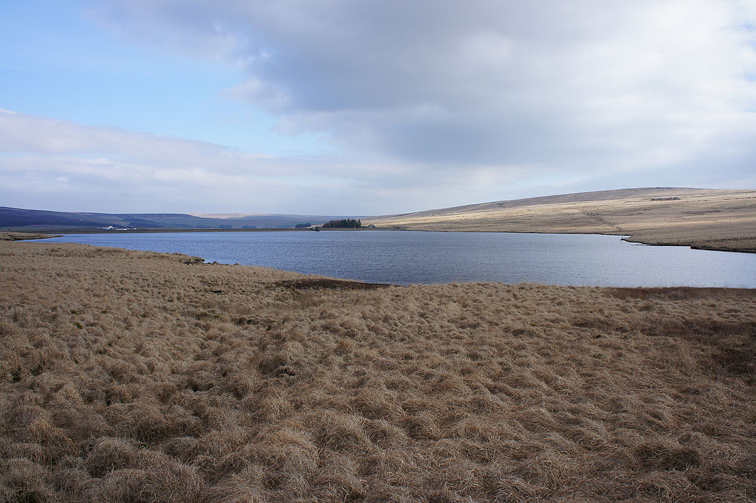
Gorple Lower Reservoir
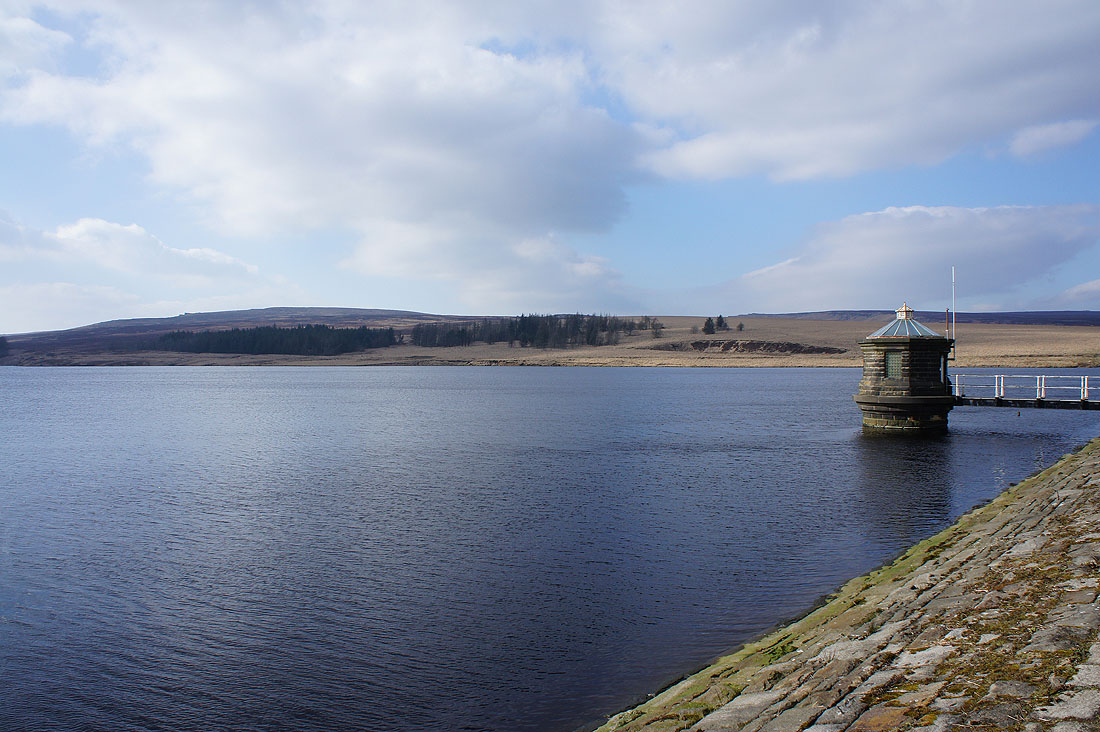
and again from its dam
At Gorple Cottages and I'm briefly on the Pennine Way again, down into the valley of Graining Water
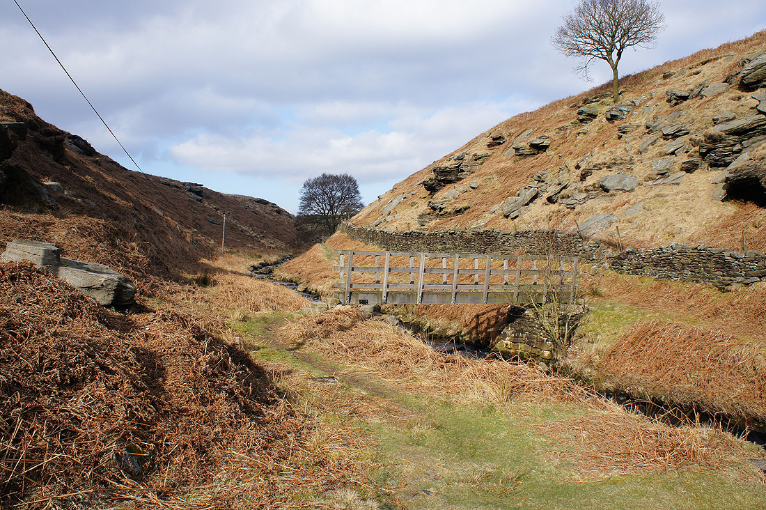
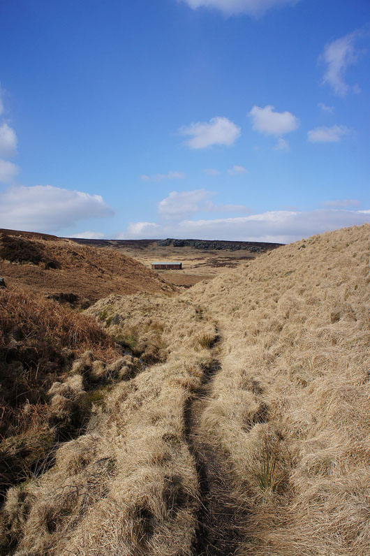
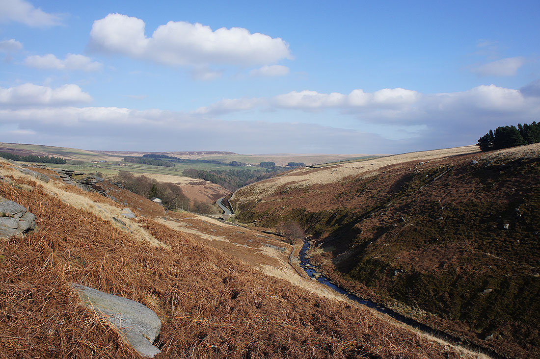
One footbridge has been crossed and there's another to go. I really liked this spot with the steep sides of the valley, the gritstone boulders and the colour of the dead bracken.
A couple of shots from the path along Ridge Scout above Graining Water..
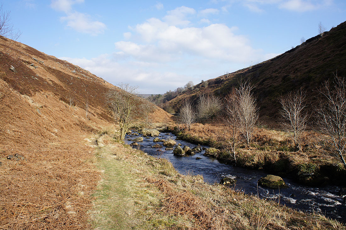
This was easily my favourite view of the day. The path along Ridge Scout approaches the bridge carrying the Widdop road over Graining Water.
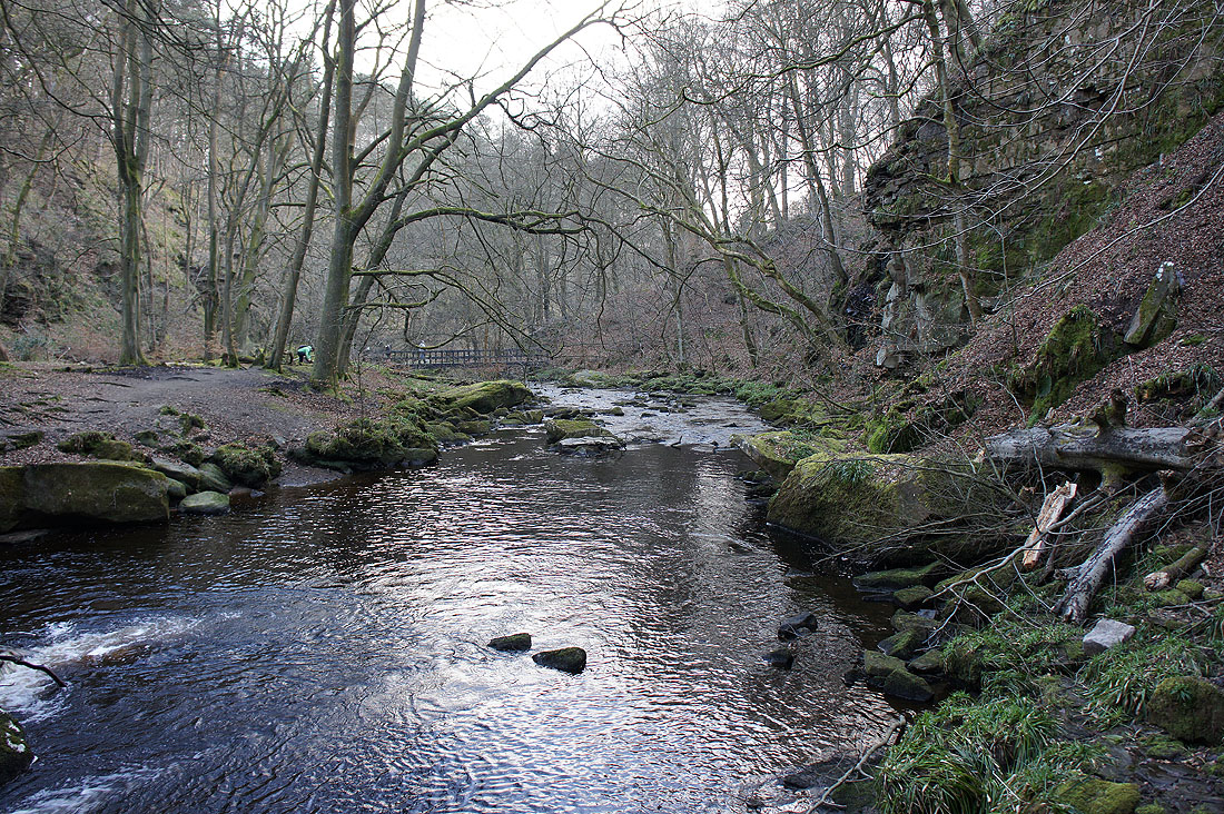
By Hebden Water
I then take the path high above Hebden Water on the eastern side of the valley before..
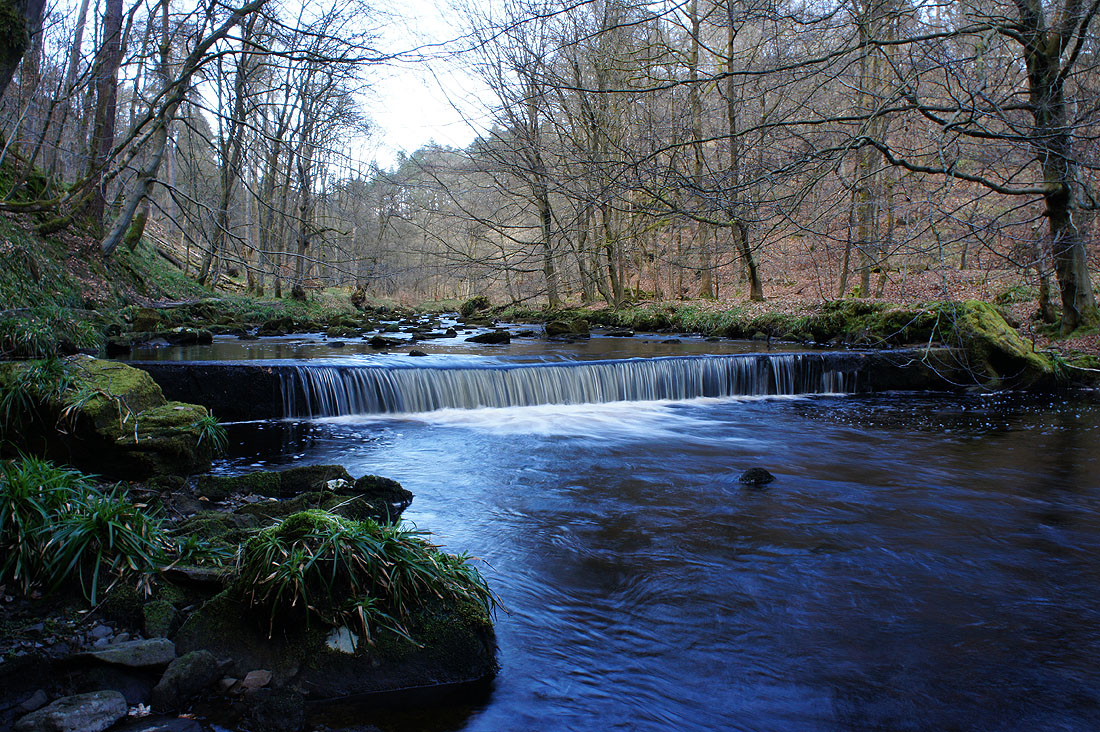
..heading down to..
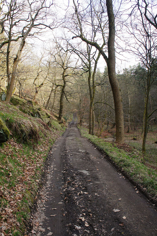
..follow the path by Hebden Water to Gibson Mill
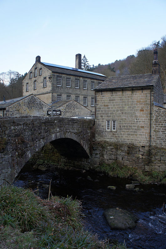
At Gibson Mill and I have a steep climb up the path to the car park