21st March 2021 - Pinhaw Beacon
Walk Details
Distance walked: 15.8 miles
Total ascent: 2789 ft
OS map used: OL21 - South Pennines
Time taken: 8 hrs
Route description: Foulridge-Noyna Hill-Cob Lane-Harwes Farm-Piked Edge-Black Lane Ends-Warley Wise Lane-Cowling Hill Lane-Pennine Way-Lothersdale-Pennine Way-Pinhaw Beacon-Pennine Way-Rectory Allotment-Gaylands Lane-Wentcliff Brook-Birch Hall Lane-Pendle Way-Heads Lane-Paris Farm-Cob Lane-Kelbrook Moor-Harwes Farm-Great Edge-Cob Lane-Noyna End Farm-Noyna Hill-Foulridge
Three weeks after my last walk to Pinhaw Beacon from home I decided to do another one. A variation of the route had to be worked out though. In the end I opted for approaching Pinhaw Beacon from the east on the Pennine Way rather than the west, which meant a bit of walking along lanes to reach the Pennine Way north to Lothersdale. It would have been a long shot to have the same glorious weather that I had three weeks ago but it wasn't too bad for an early spring day. Mostly cool and cloudy, with a bit of sunshine in the morning and at the end of the afternoon.
From where I live in Foulridge I made my way to the bottom of Noyna Road and took the footpath up onto Noyna Hill, across its top and down to Cob Lane. After a brief walk north along Cob Lane I took the lane on the right towards Kelbrook Lodge and Great Edge Farm, going straight on on a footpath to Harwes Farm when the track turned right to Great Edge Farm. From Harwes Farm I then followed the footpath up onto Piked Edge and down to Black Lane Ends before crossing Skipton Old Road and walking east along Warley Wise Lane and Cowling Hill Lane to reach the trail of the Pennine Way. I then followed the Pennine Way north to Lothersdale and up to Pinhaw Beacon, where I stopped for lunch. From Pinhaw Beacon I kept on the Pennine Way and followed it west to and across West Lane, then down Clogger Lane before leaving it for the bridleway across the moorland of Rectory Allotment to the top of Gaylands Lane. I then walked down Gaylands Lane until I reached a footpath on the left down to Wentcliff Brook and up to Birch Hall Lane. After a brief walk up Birch Hall Lane I reached the trail of the Pendle Way, which I followed south until I reached Heads Lane. I crossed Heads Lane and took the footpath opposite down to Harden Beck and then up past Paris Farm to Thick Bank Farm and Cob Lane. After a brief walk up Cob Lane I reached the track on the left to Harden New Hall. I took the public footpath from here up onto Kelbrook Moor, following a wall uphill to reach the trig point, then a path down to the edge of access land at Harwes Farm, from where I took the footpath southwest onto Great Edge. I then followed the path west down Great Edge and across Moss Houses Beck and up to Cob Lane. A path from Cob Lane at Noyna End Farm took me up onto Noyna Hill, and the path west across its top and down to Skipton Old Road was followed. A short walk back to my home in Foulridge was left.
Route map
© Crown copyright. All rights reserved. License number PU 100034184.
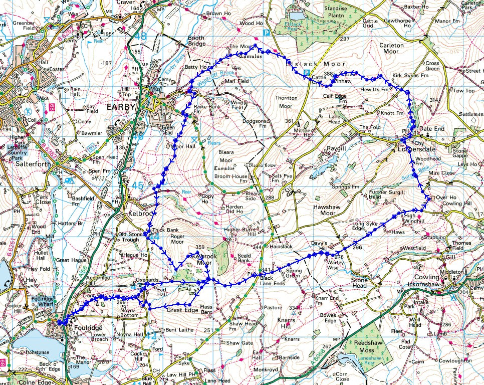
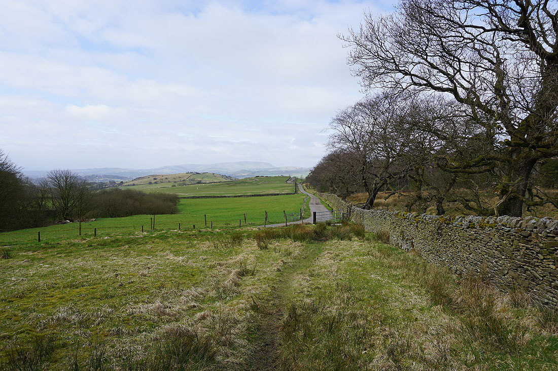
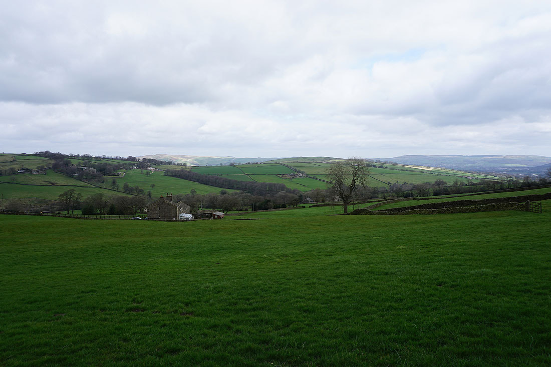
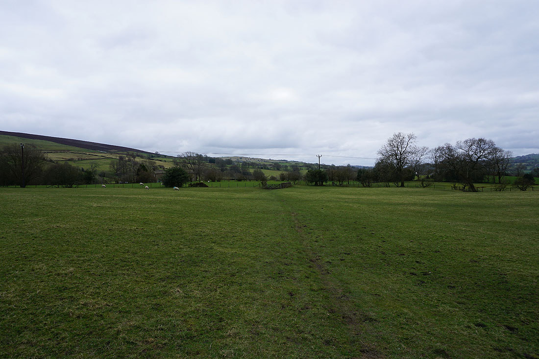
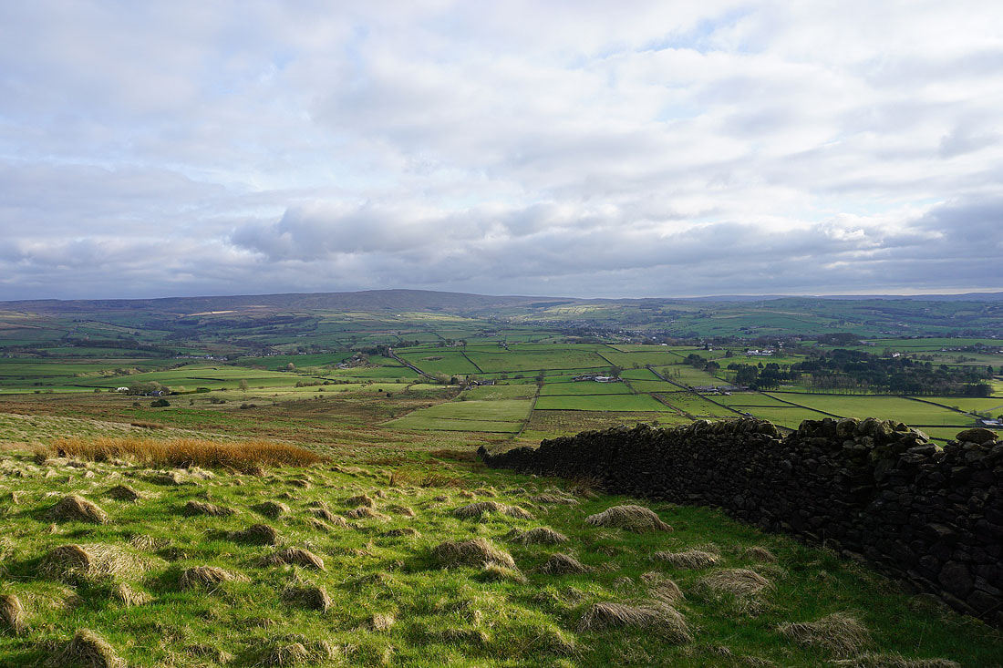
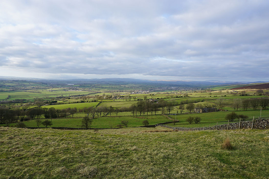
Pendle Hill in the distance as I leave Foulridge and head up onto Noyna Hill..
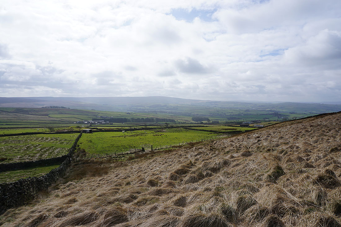
Looking across to Kelbrook Moor
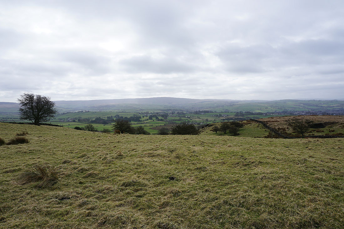
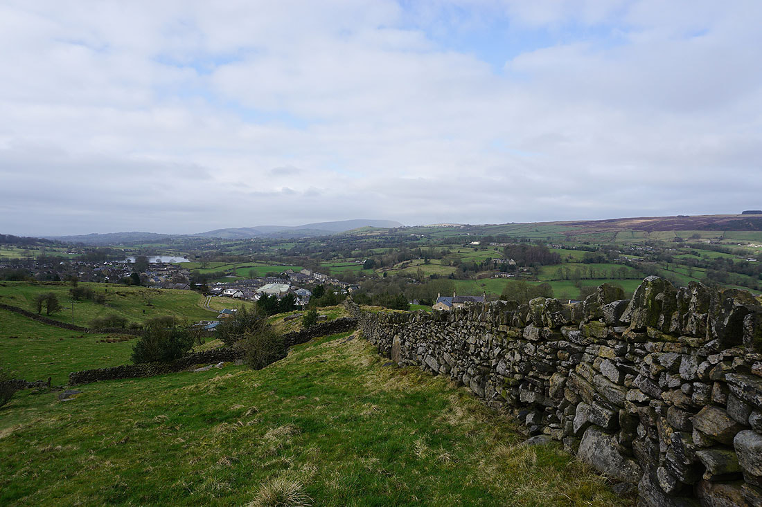
Boulsworth Hill in the distance to the south
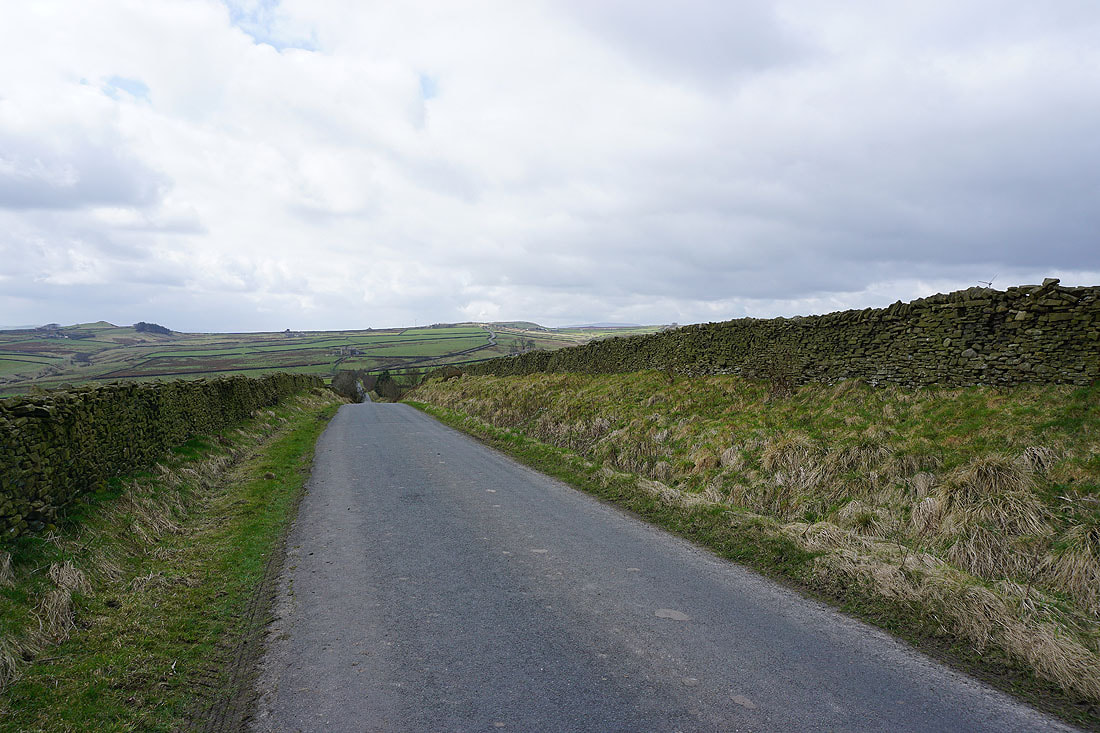
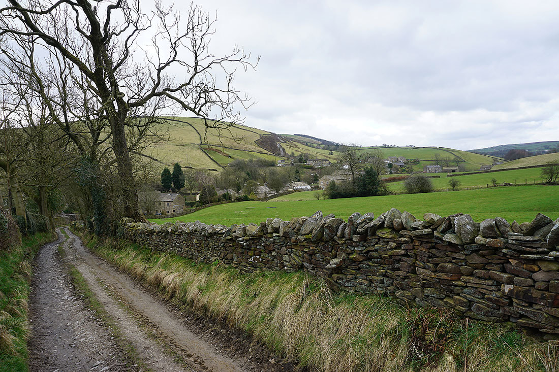
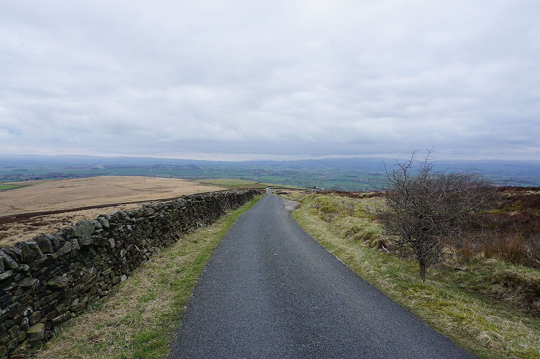
Heading north along Cob Lane
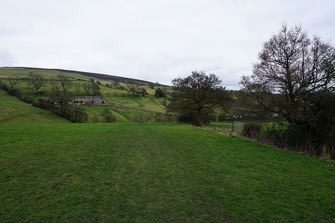
Pendle Hill and White Moor as I look back along the lane to Kelbrook Lodge
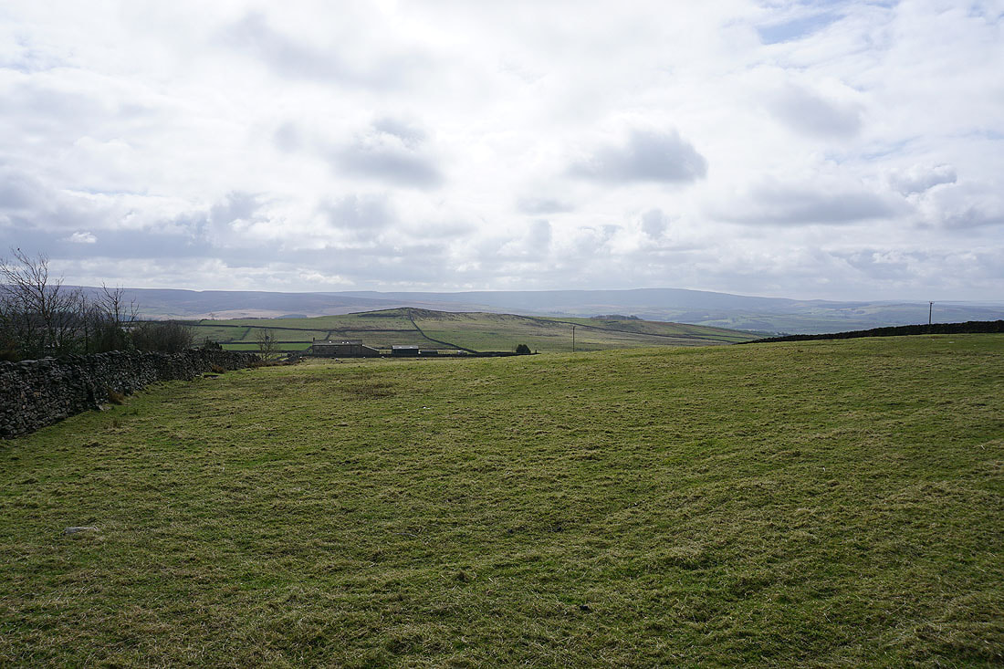
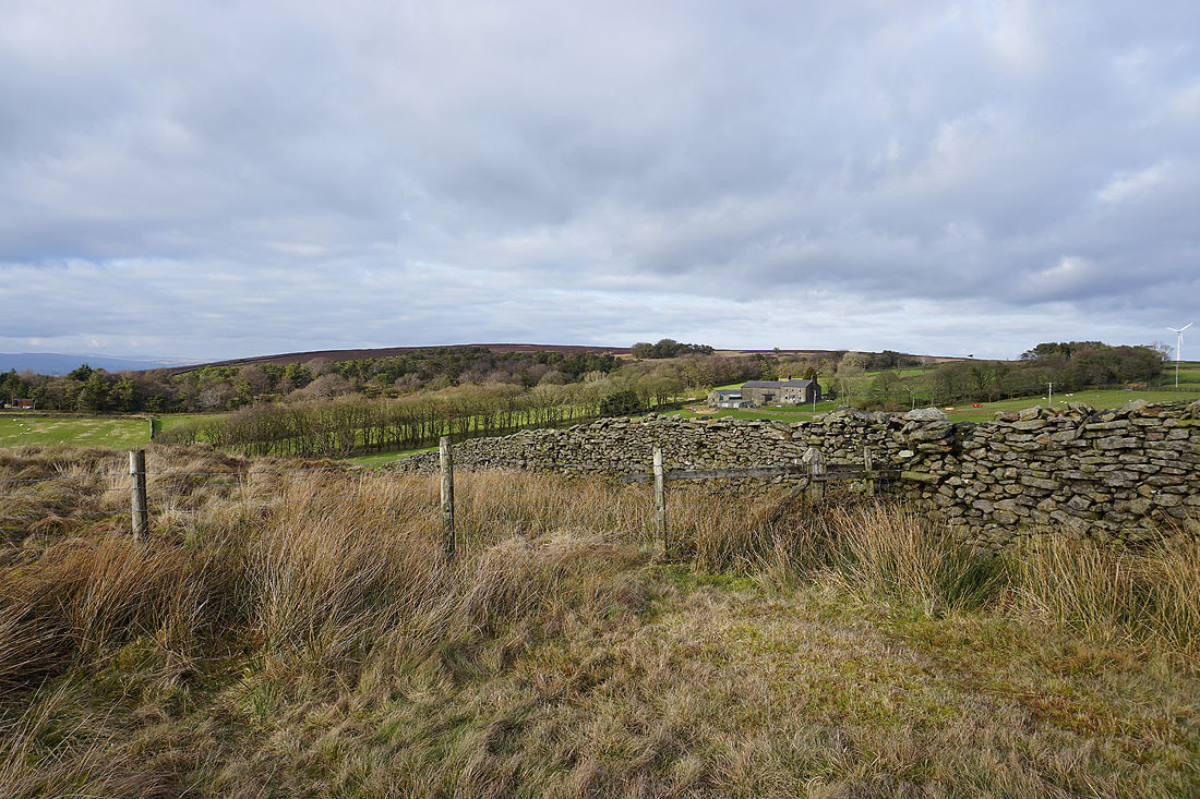
Kelbrook Lodge in the trees on the left
Pendle Hill in the distance as I leave the track to Great Edge Farm for the footpath to Harwes Farm
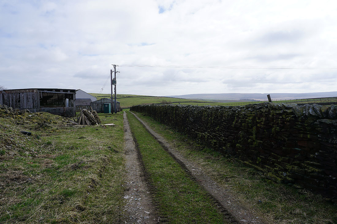
Passing Harwes Farm to Piked Edge
Pendle Hill and Kelbrook Moor from Piked Edge
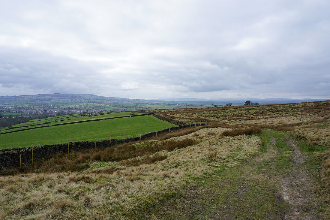
Approaching Black Lane Ends
Boulsworth Hill in the distance
Knarrs Hill and Boulsworth Hill from Warley Wise Lane
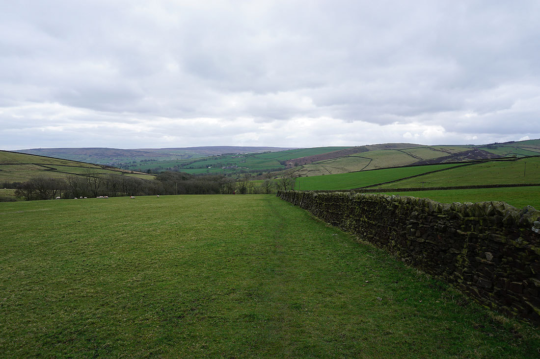
Walking east along Warley Wise Lane with Earl Crag in the distance on the right
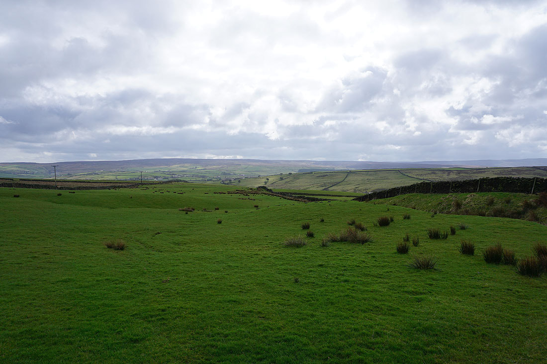
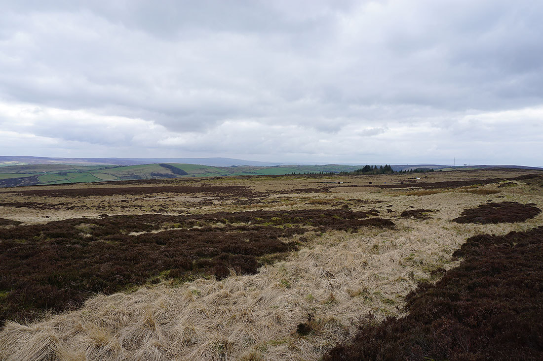
Ickornshaw Moor to the south
Looking back to a now distant Piked Edge as I reach the top of Cowling Hill Lane
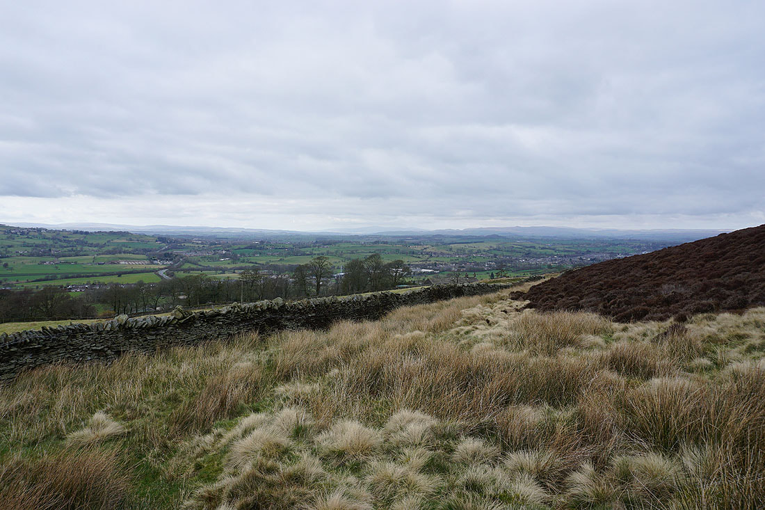
The moors around Lothersdale with Skipton Moor in the distance
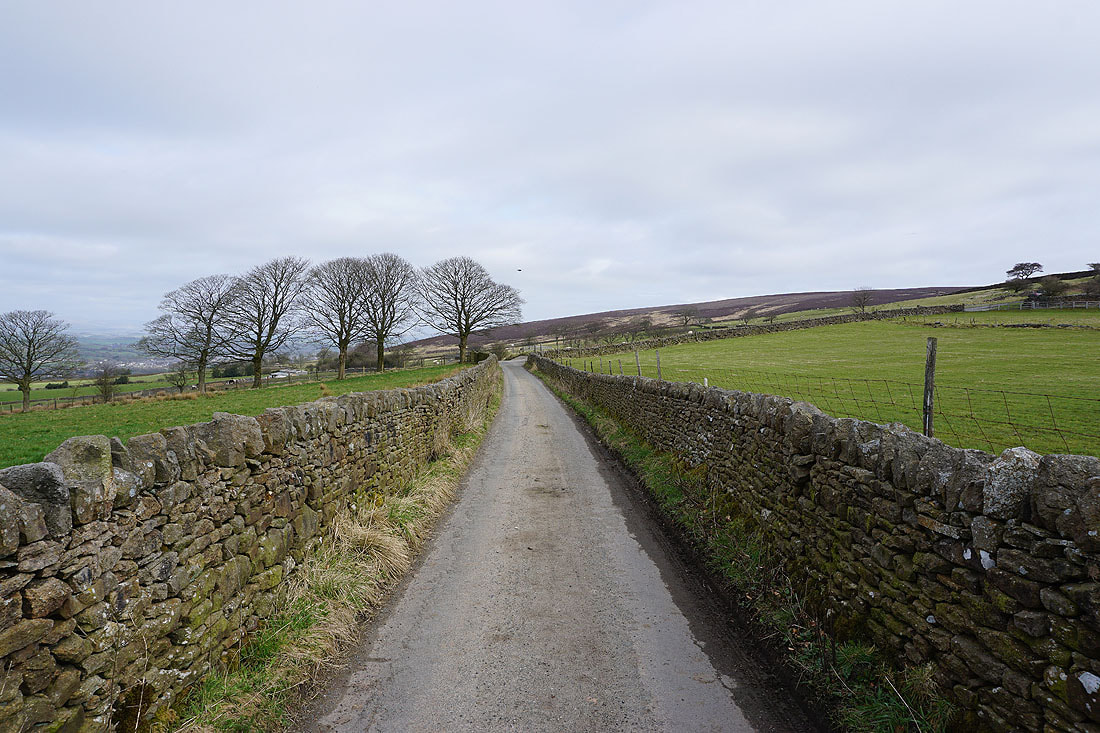
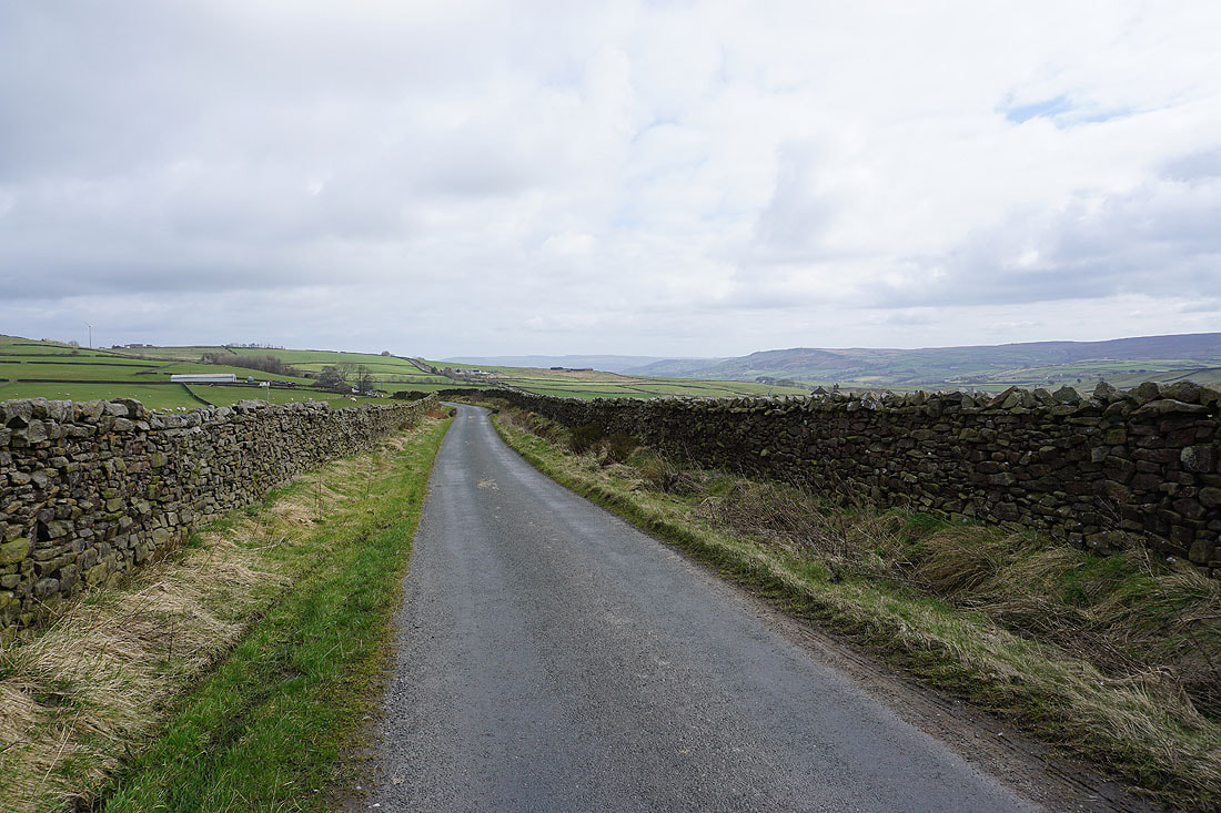
Before I reach the hamlet of Cowling Hill I turn left onto the lane ahead and join the trail of the Pennine Way..
The moors around Lothersdale
Crossing Surgill Beck
The steep hillside of Sweet Brow from Woodhead Farm
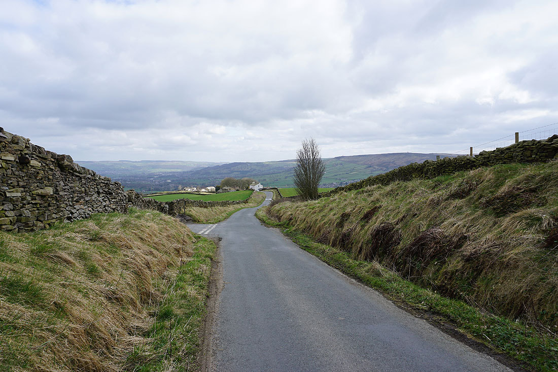
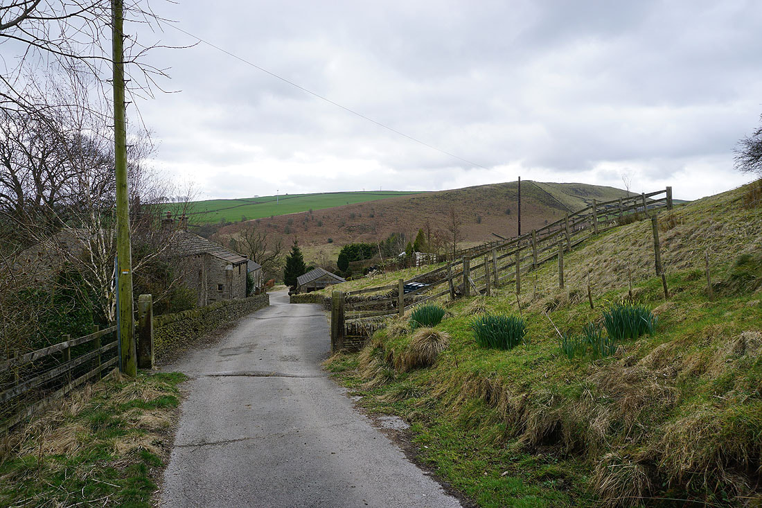
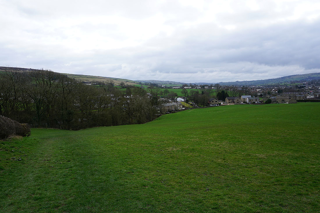
Heading down into the village of Lothersdale on the Pennine Way..
..and leaving Lothersdale on the Pennine Way
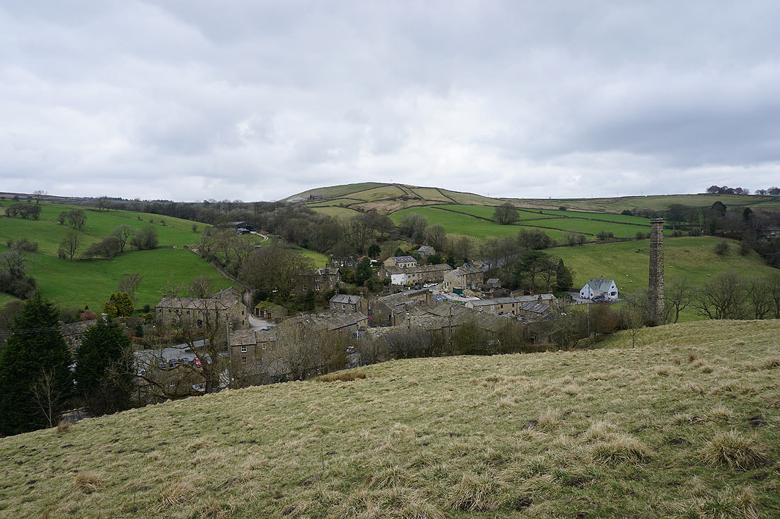
Looking south across Lothersdale
On the Pennine Way on Carleton Moor
Looking south across Lothersdale to Ickornshaw Moor in the distance..
..and to Boulsworth Hill
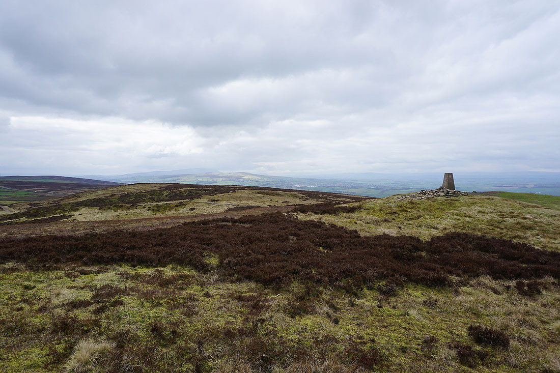
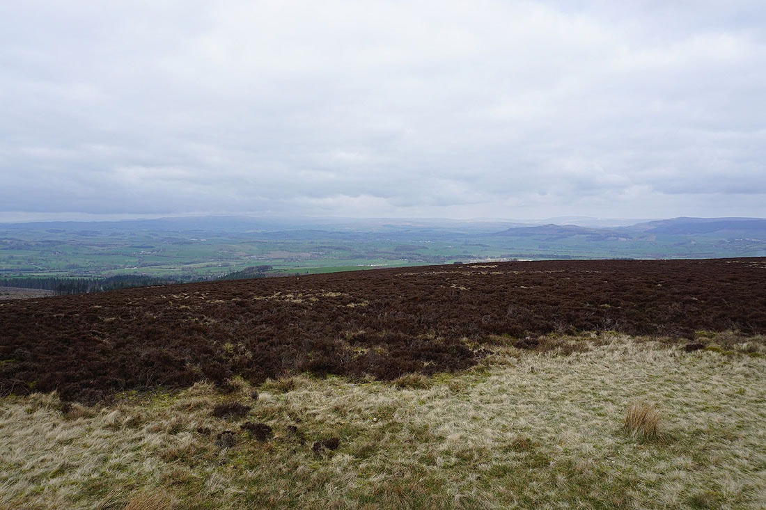
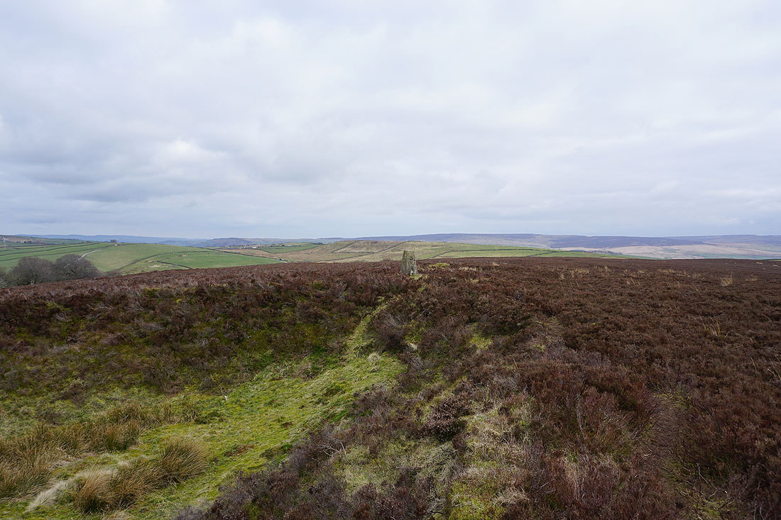
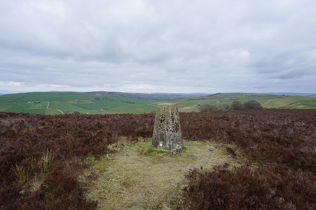
Pendle Hill in the distance from the trig point on Pinhaw Beacon
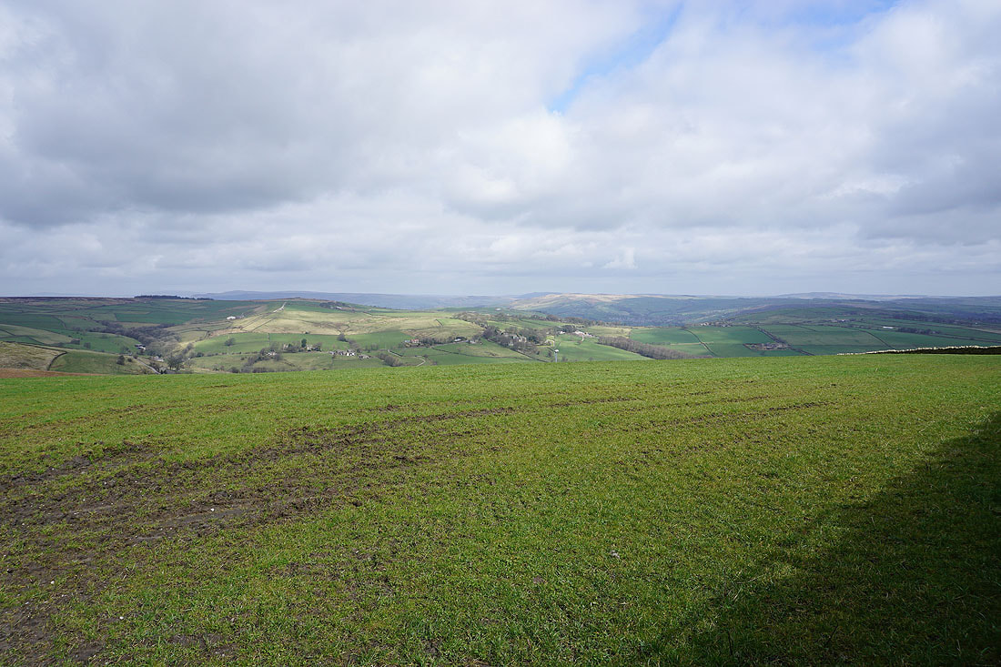
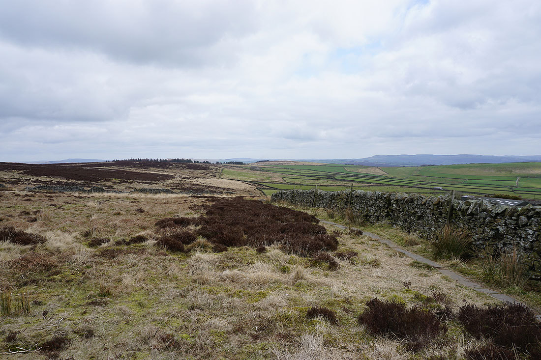
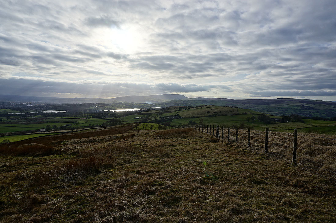
Views to the northwest and north to the Forest of Bowland and the Yorkshire Dales..
Looking north to the moorland around Malhamdale and Wharfedale
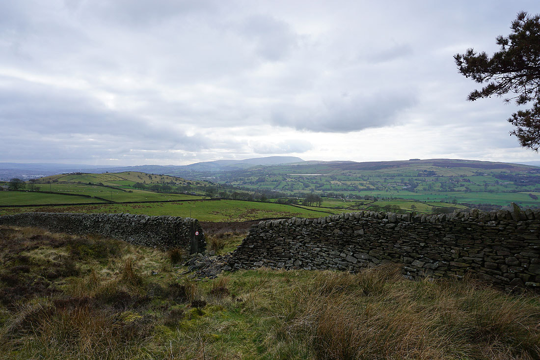
Looking east to Skipton Moor and Ilkley Moor
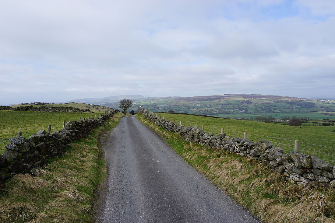
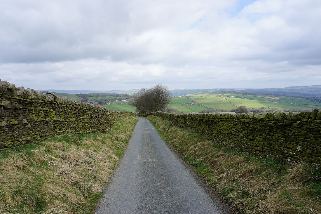
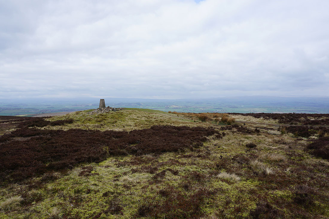
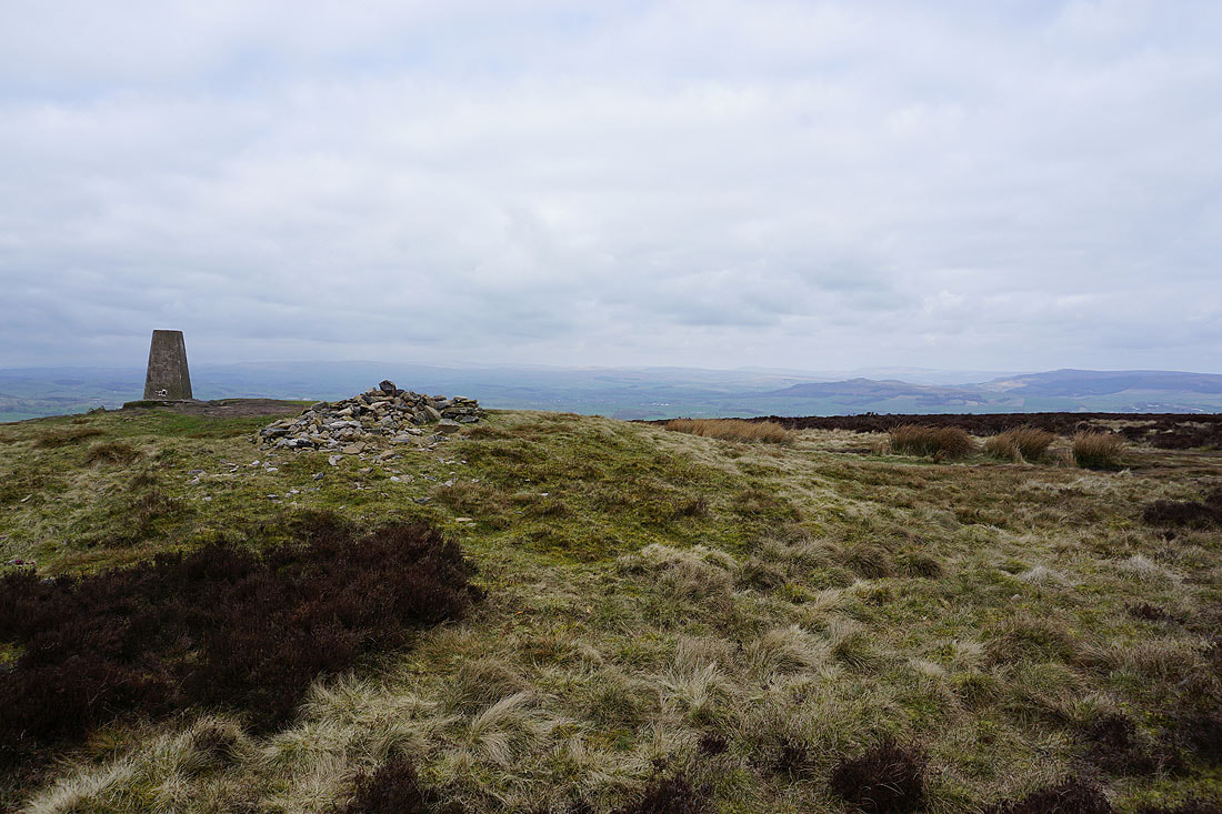
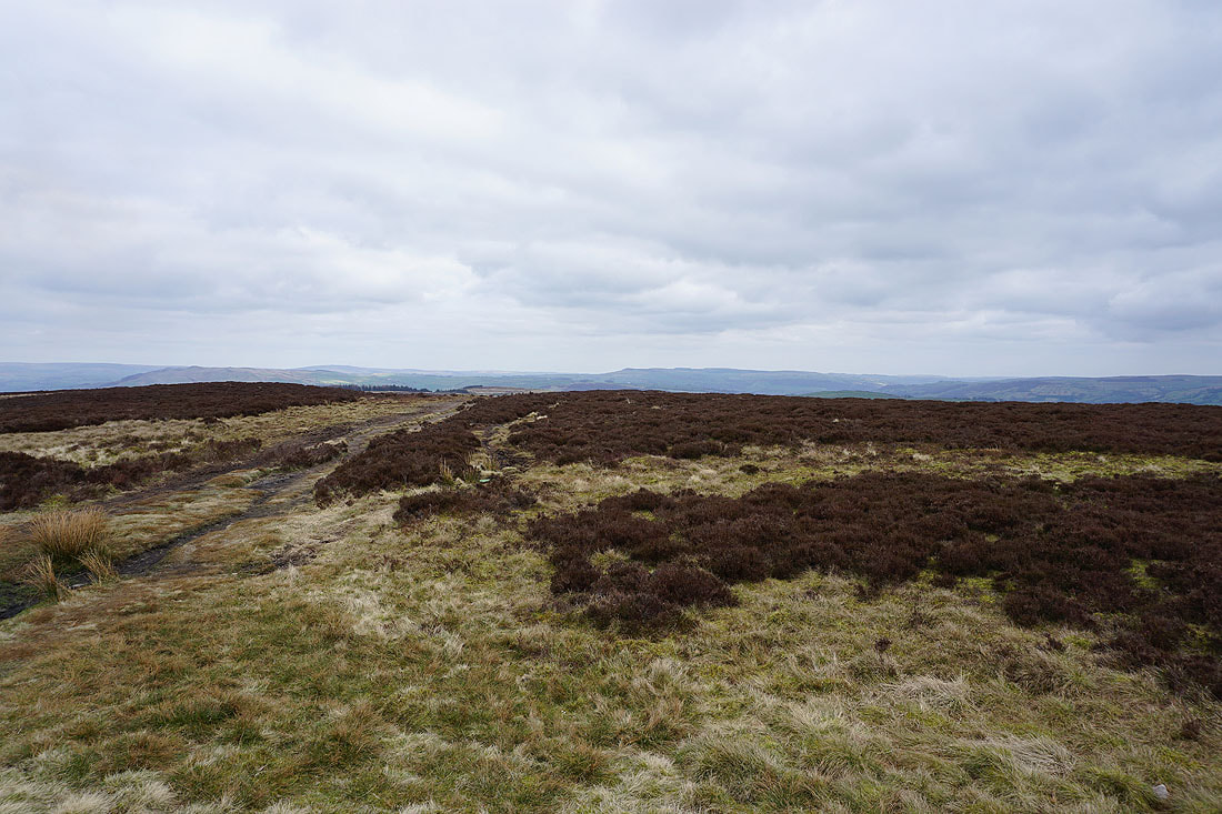
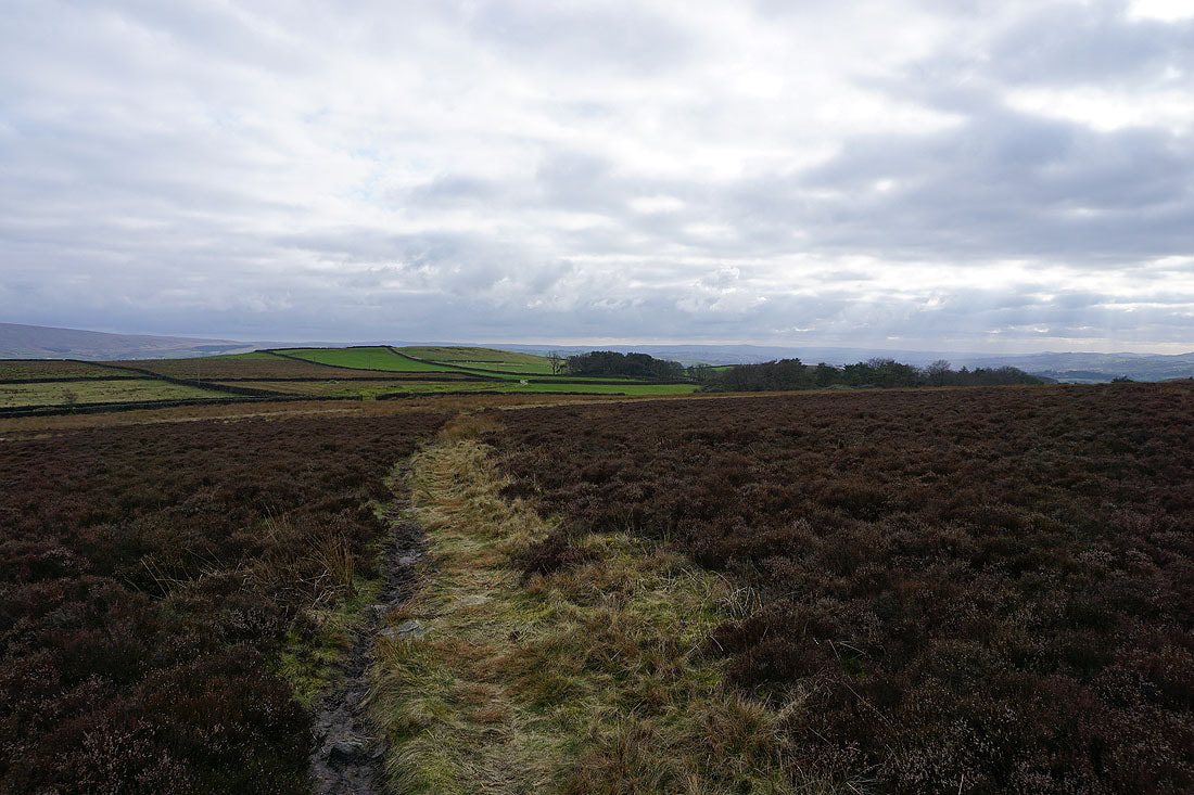
Leaving Pinhaw Beacon on the Pennine Way..
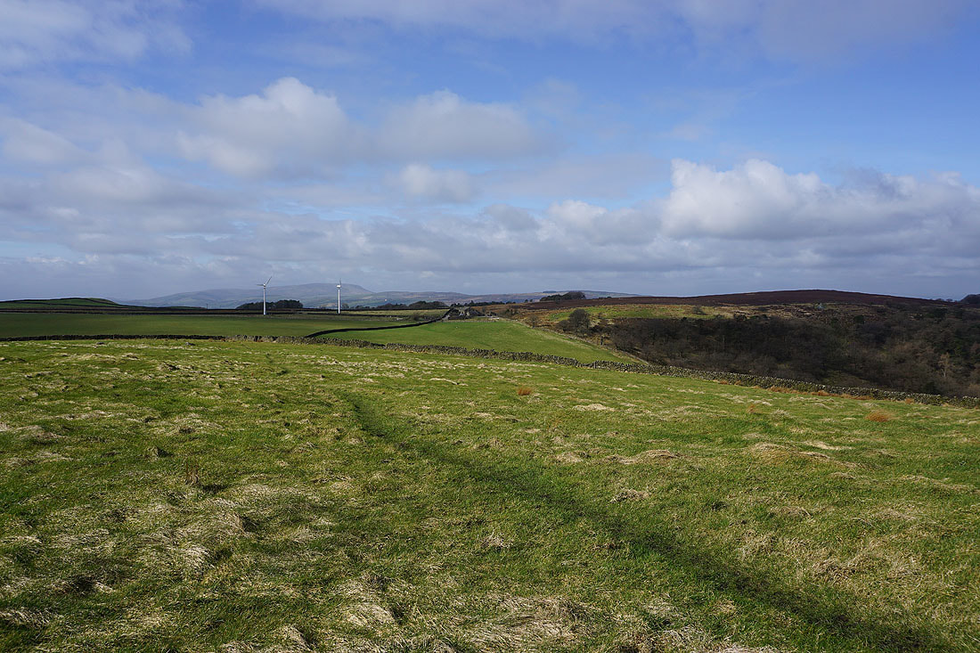
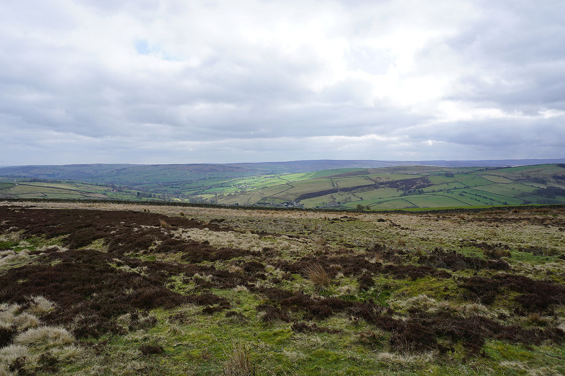
The Forest of Bowland and the moors around Settle in the Yorkshire Dales in the distance as I walk down Clogger Lane
The Pennine Way leaves Clogger Lane for the moorland of Rectory Allotment as it heads for Thornton-in-Craven
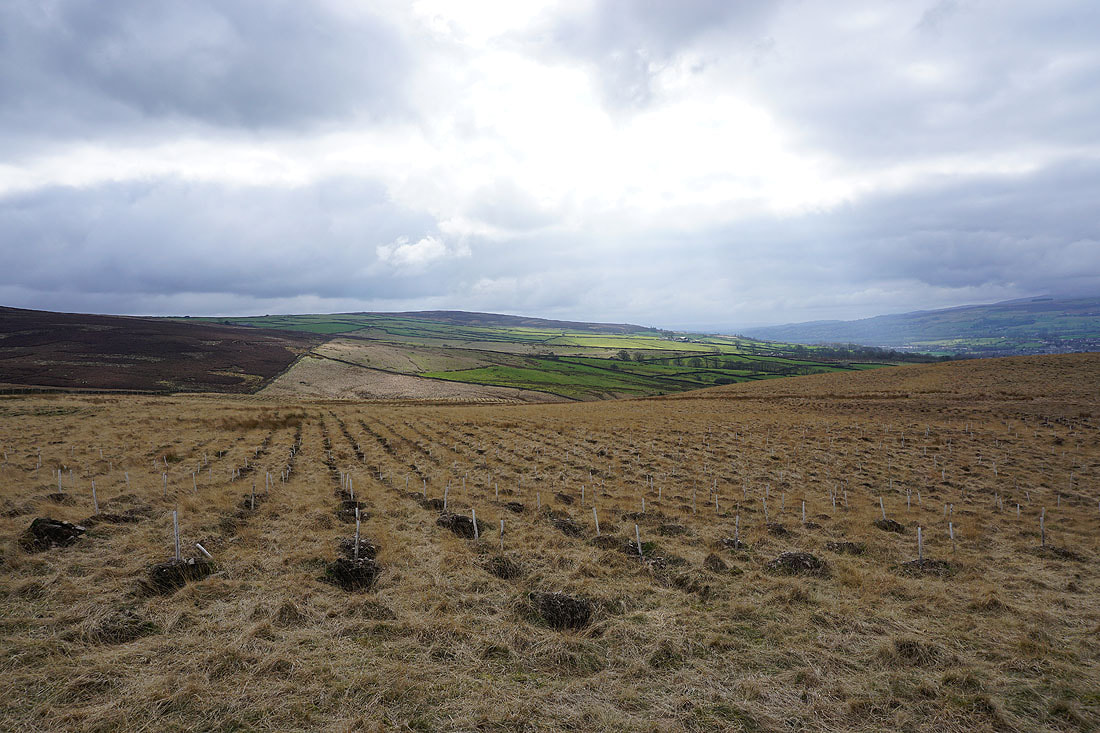
Sunshine on Bleara Moor
Great Whernside, Sharp Haw and Barden Moor to the north from Rectory Allotment
Following the bridleway from Rectory Allotment down to the top of Gaylands Lane
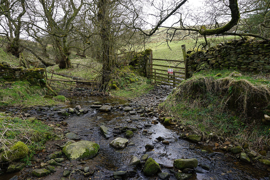
On the path down to Wentcliff Brook
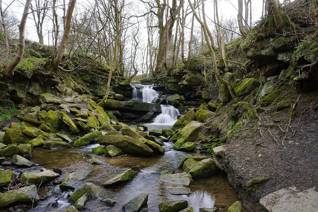
A waterfall on Wentcliff Brook
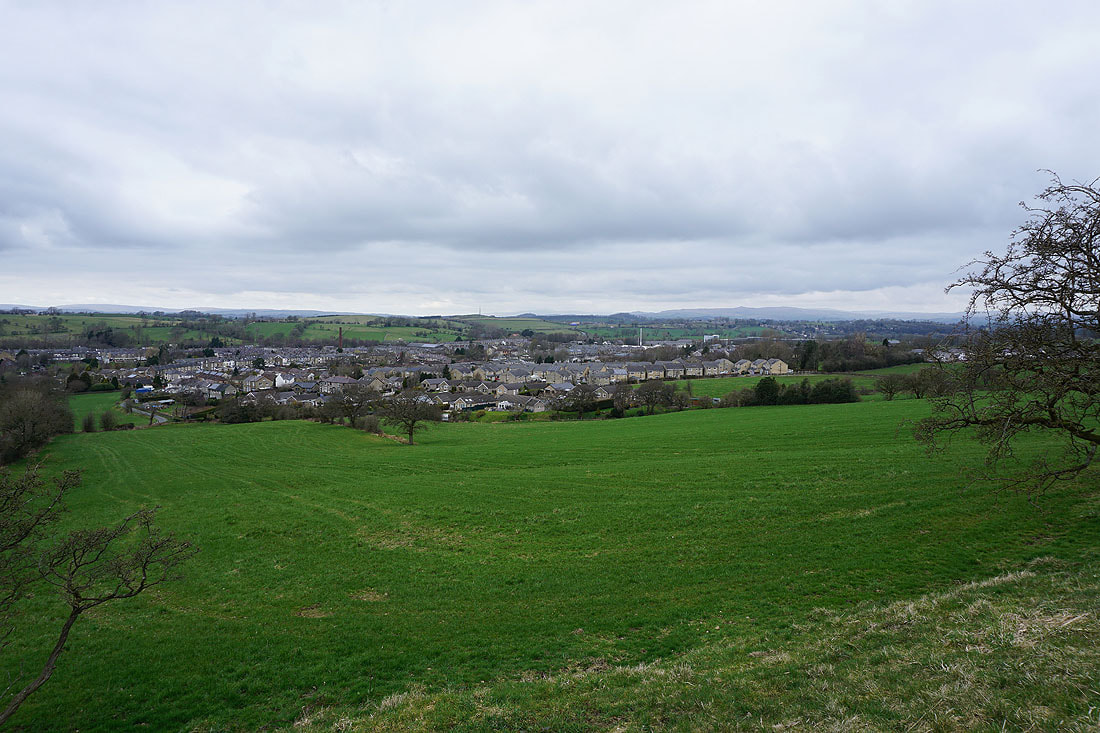
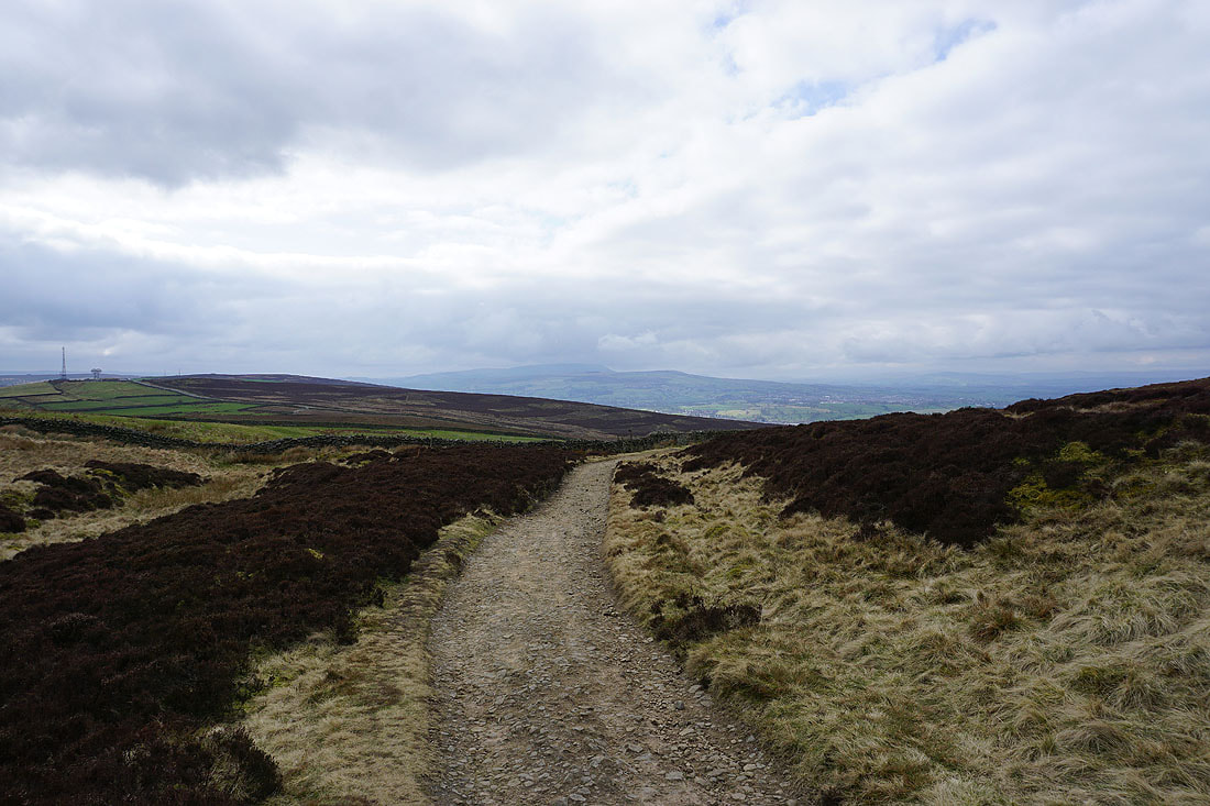
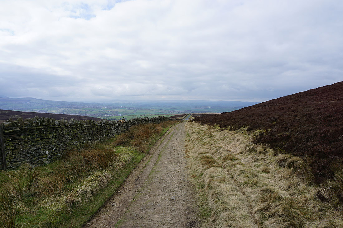
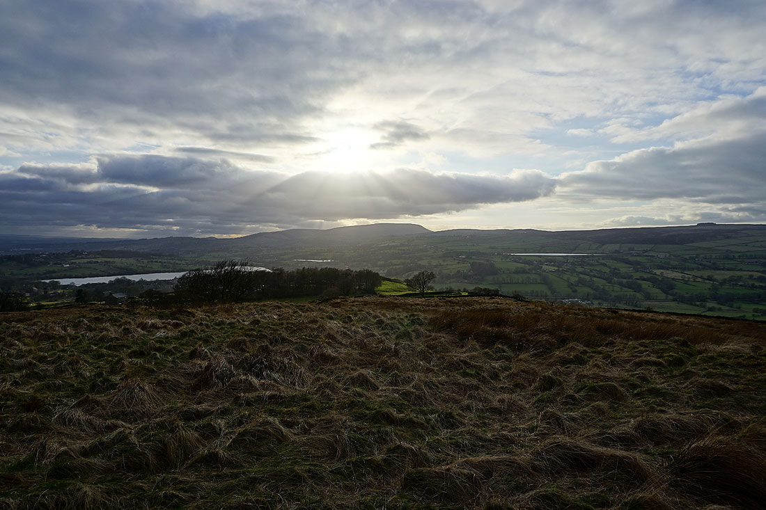
Leaving Earby behind as I follow the Pendle Way south..
I leave the Pendle Way for the footpath down to Harden Beck and up to Cob Lane
Ingleborough in the distance as I reach Kelbrook Moor
Pendle Hill as I head up Kelbrook Moor
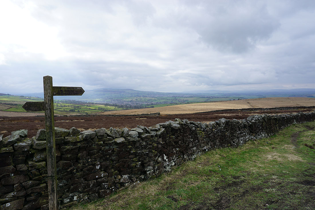
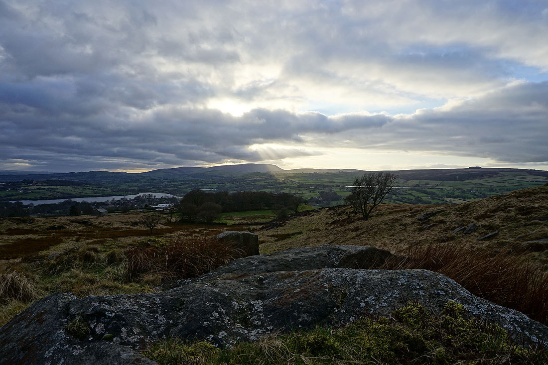
At the trig point on Kelbrook Moor with Earl Crag and Ickornshaw Moor in the distance
The moors around Lothersdale to the east
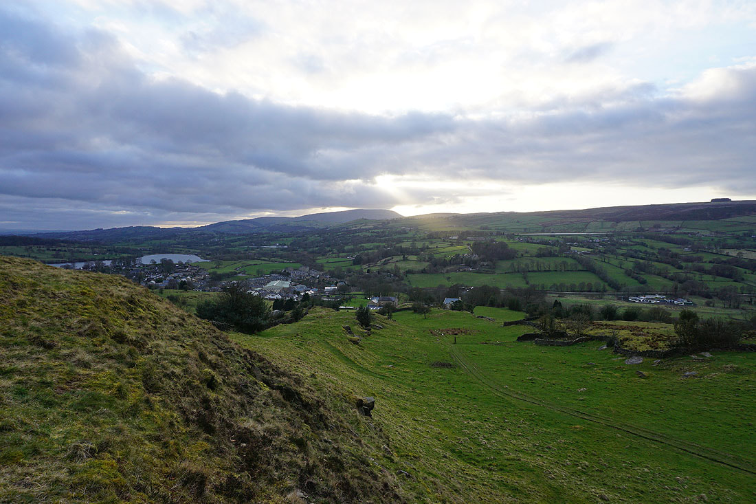
Leaving Kelbrook Moor and heading for Great Edge

Pendle Hill from Great Edge. The dappled sunshine as the cloud starts to break up gives a great light..
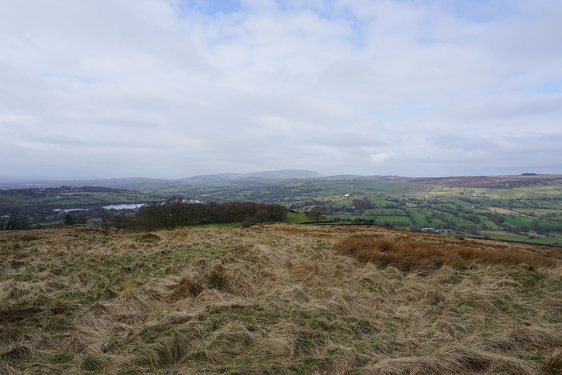
Boulsworth Hill and Trawden to the south
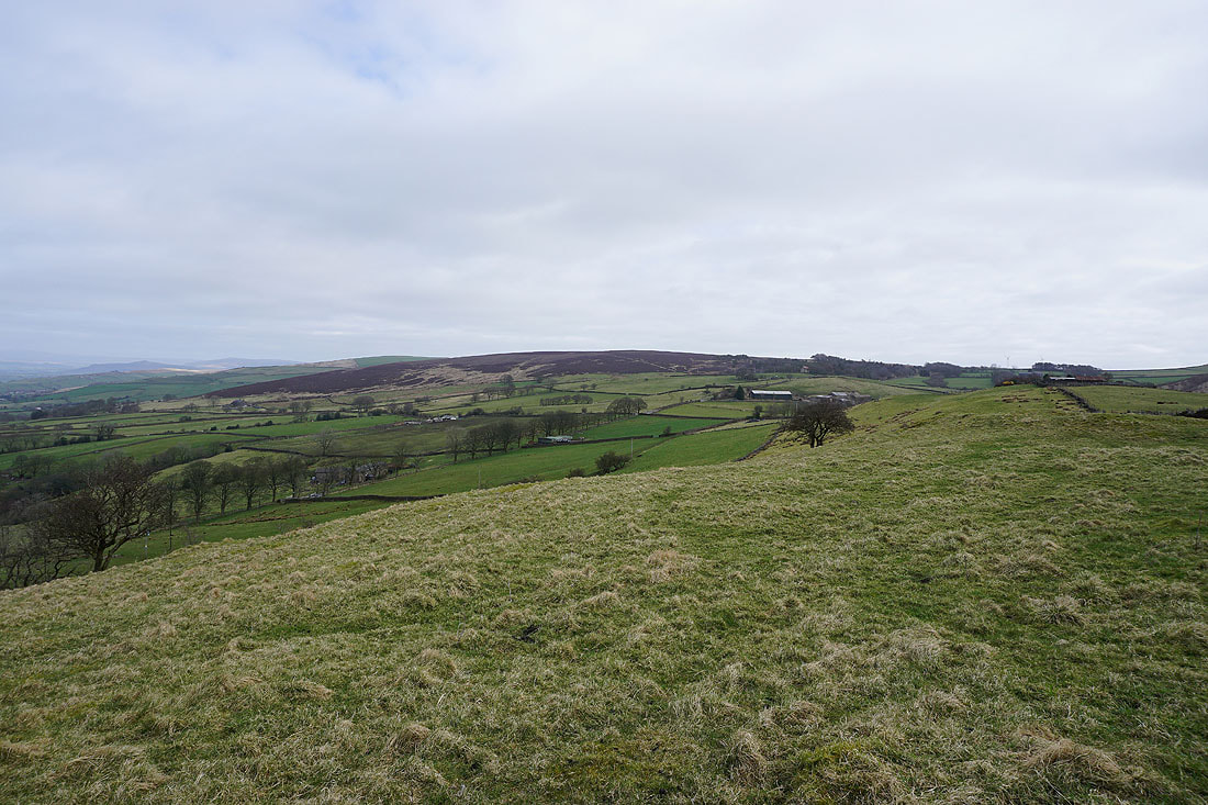
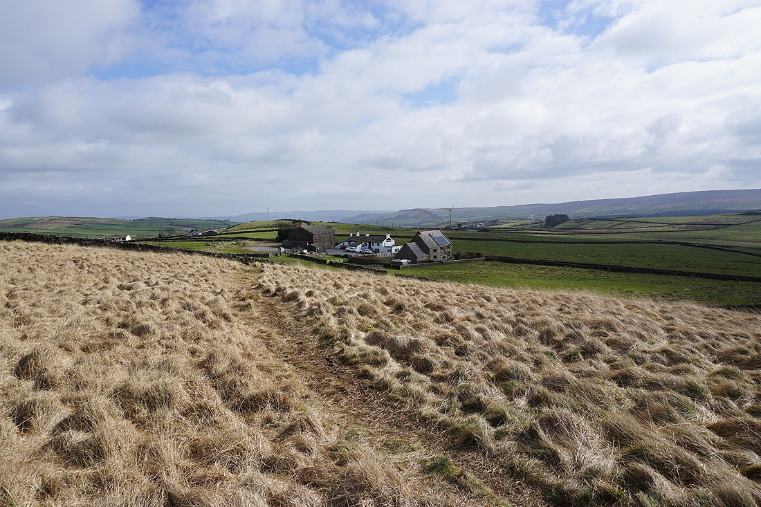
Kelbrook Moor and Great Edge Farm
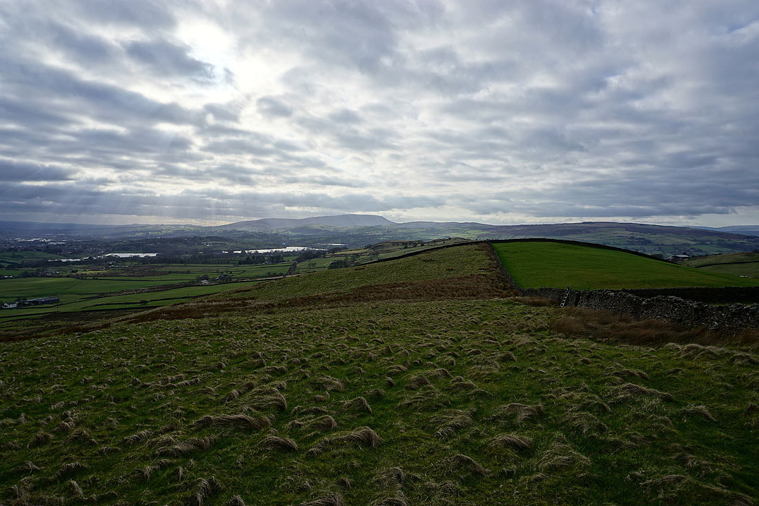
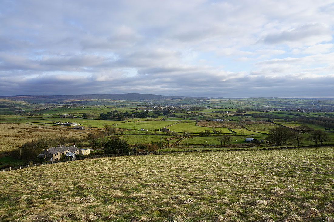
Foulridge Upper and Lower Reservoirs and Pendle Hill as I head down Great Edge
Boulsworth Hill and Trawden as I climb Noyna Hill from Noyna End Farm
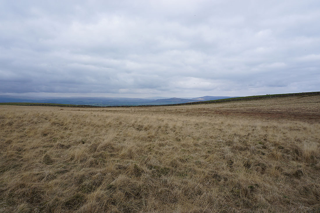
The moors around Settle and Malham in the Yorkshire Dales to the north
Pendle Hill from Noyna Hill..
Back down to Foulridge and home