21st May 2022 - Weets Hill
Walk Details
Distance walked: 9.3 miles
Total ascent: 1234 ft
OS map used: OL21 - South Pennines
Time taken: 4 hrs
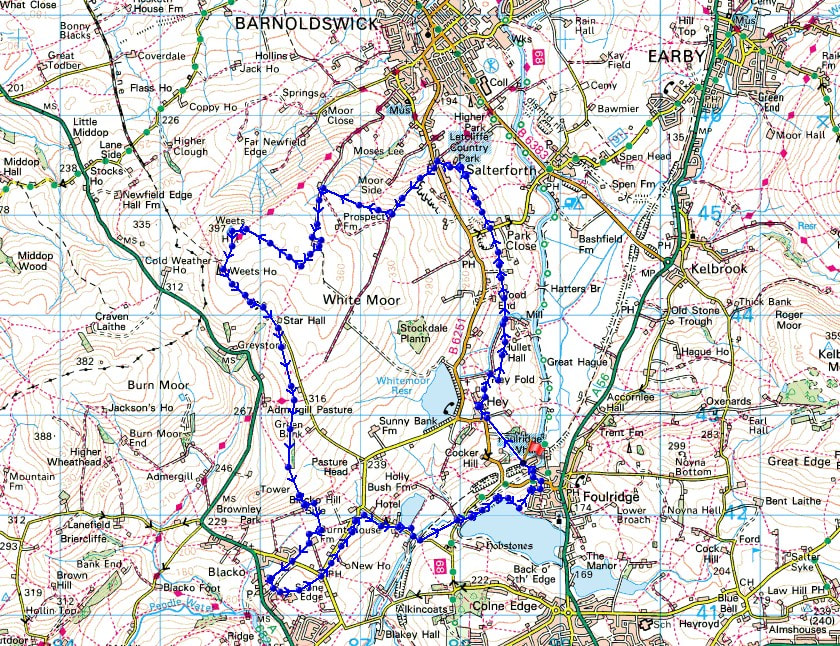
Route description: Foulridge-Hey-Hey Fold-Booth House Farm-Park Close-Moor Lane-Dye House Farm-Higher Lane-Lister Well Road-Higher View Farm-Duck Pond Farm-Weets Hill-Weets House Farm-Gisburn Old Road-Pendle Way-Blacko Hill Side Farm-Burnt House Farm-Beverley Road-Blacko-Great Stonedge Farm-Barnoldswick Road-Slipper Hill Reservoir-Reedymoor Lane-Foulridge Lower Reservoir-B6251-Foulridge
I'm off up to the Lake District tomorrow for a much needed holiday. As a bit of a warm up for the many miles of tramping across fells that I'll be doing next week I decided to do a walk from home this afternoon to Weets Hill. My route was one of the usual ones with a couple of additions, keeping on the footpath past Booth House Farm to reach Dye House Farm, and dropping down into Blacko from Blacko Hill, both done in the anticipation of seeing hay meadows full of buttercups. They weren't at the best that I've seen them, but those below Slipper Hill Reservoir looked really good in the late afternoon sunshine. After setting off from home under quite grey and overcast skies the cloud tended to break up through the afternoon, so that the best of the weather was when I was on my way back home from Weets Hill.
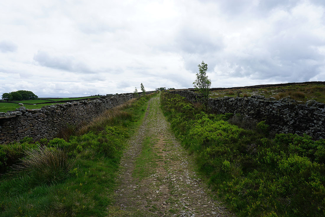
Setting off from home I walked to the western end of Station Road and took the footpath straight up the hill and across fields to the corner of Whitemoor Road. Here I turned right and took a lane past some houses, then a footpath on the right down to Hey Fold. The next bit was a little complicated as I took the footpath right at Hey Fold, then left across the crest of a little hill and past Hullet Hall down to County Brook Lane. I briefly walked down the lane, took a footpath on the left through a patch of woodland and across a bridge over County Brook, before resuming following footpaths north across fields past Wood End Farm and Booth House Farm to Park Close on Moor Lane. After crossing Moor Lane I took the footpath opposite and followed it north through fields to Dye House Farm, where I took a bridleway up to Higher Lane, which I crossed to reach the bridleway of Lister Well Road. I then walked up Lister Well Road until I reached a gate on the right and a footpath across access land to Higher View Farm at the top of Folly Lane. I then turned left and followed the bridleway up to Duck Pond Farm, then the footpath round the farm and onto access land, before turning right and following a path by a wall to the top of Weets Hill. After taking in the view I took the Pendle Way to reach Weets House Farm at the top of Gisburn Old Road. I then walked down Gisburn Old Road until I reached Star Hall Farm where I took the Pendle Way on the right across fields. I left the Pendle Way above Admergill Pasture Cottage for a footpath south by a wall and down to Blacko Hill Side Farm, where I took a footpath south to Burnt House Farm, then round the farm and along the edge of a field to Beverley Road. After crossing the road I took the footpath opposite along the edge of a field to Blacko, then turned left up a footpath and onto the track to Great Stonedge Farm, where a footpath across fields took me to The Cross Gaits Inn on Barnoldswick Road. I crossed Barnoldswick Road and took the footpath opposite that heads north along the field edge next to the road to Hollin Hall, briefly went out onto the road, then took the footpath on the right down through fields to where it meets the lane by Slipper Hill Reservoir. After visiting Slipper Hill Reservoir I took the bridleway from Slipper Hill to reach Reedymoor Lane, which I crossed to reach Foulridge Lower Reservoir. After walking north by Foulridge Lower Reservoir I took a ladder stile on the left for a footpath up across fields to the B6251 for a return to Foulridge and home.
Total ascent: 1234 ft
OS map used: OL21 - South Pennines
Time taken: 4 hrs
Route description: Foulridge-Hey-Hey Fold-Booth House Farm-Park Close-Moor Lane-Dye House Farm-Higher Lane-Lister Well Road-Higher View Farm-Duck Pond Farm-Weets Hill-Weets House Farm-Gisburn Old Road-Pendle Way-Blacko Hill Side Farm-Burnt House Farm-Beverley Road-Blacko-Great Stonedge Farm-Barnoldswick Road-Slipper Hill Reservoir-Reedymoor Lane-Foulridge Lower Reservoir-B6251-Foulridge
I'm off up to the Lake District tomorrow for a much needed holiday. As a bit of a warm up for the many miles of tramping across fells that I'll be doing next week I decided to do a walk from home this afternoon to Weets Hill. My route was one of the usual ones with a couple of additions, keeping on the footpath past Booth House Farm to reach Dye House Farm, and dropping down into Blacko from Blacko Hill, both done in the anticipation of seeing hay meadows full of buttercups. They weren't at the best that I've seen them, but those below Slipper Hill Reservoir looked really good in the late afternoon sunshine. After setting off from home under quite grey and overcast skies the cloud tended to break up through the afternoon, so that the best of the weather was when I was on my way back home from Weets Hill.
Setting off from home I walked to the western end of Station Road and took the footpath straight up the hill and across fields to the corner of Whitemoor Road. Here I turned right and took a lane past some houses, then a footpath on the right down to Hey Fold. The next bit was a little complicated as I took the footpath right at Hey Fold, then left across the crest of a little hill and past Hullet Hall down to County Brook Lane. I briefly walked down the lane, took a footpath on the left through a patch of woodland and across a bridge over County Brook, before resuming following footpaths north across fields past Wood End Farm and Booth House Farm to Park Close on Moor Lane. After crossing Moor Lane I took the footpath opposite and followed it north through fields to Dye House Farm, where I took a bridleway up to Higher Lane, which I crossed to reach the bridleway of Lister Well Road. I then walked up Lister Well Road until I reached a gate on the right and a footpath across access land to Higher View Farm at the top of Folly Lane. I then turned left and followed the bridleway up to Duck Pond Farm, then the footpath round the farm and onto access land, before turning right and following a path by a wall to the top of Weets Hill. After taking in the view I took the Pendle Way to reach Weets House Farm at the top of Gisburn Old Road. I then walked down Gisburn Old Road until I reached Star Hall Farm where I took the Pendle Way on the right across fields. I left the Pendle Way above Admergill Pasture Cottage for a footpath south by a wall and down to Blacko Hill Side Farm, where I took a footpath south to Burnt House Farm, then round the farm and along the edge of a field to Beverley Road. After crossing the road I took the footpath opposite along the edge of a field to Blacko, then turned left up a footpath and onto the track to Great Stonedge Farm, where a footpath across fields took me to The Cross Gaits Inn on Barnoldswick Road. I crossed Barnoldswick Road and took the footpath opposite that heads north along the field edge next to the road to Hollin Hall, briefly went out onto the road, then took the footpath on the right down through fields to where it meets the lane by Slipper Hill Reservoir. After visiting Slipper Hill Reservoir I took the bridleway from Slipper Hill to reach Reedymoor Lane, which I crossed to reach Foulridge Lower Reservoir. After walking north by Foulridge Lower Reservoir I took a ladder stile on the left for a footpath up across fields to the B6251 for a return to Foulridge and home.
Route map
© Crown copyright. All rights reserved. License number PU 100034184.
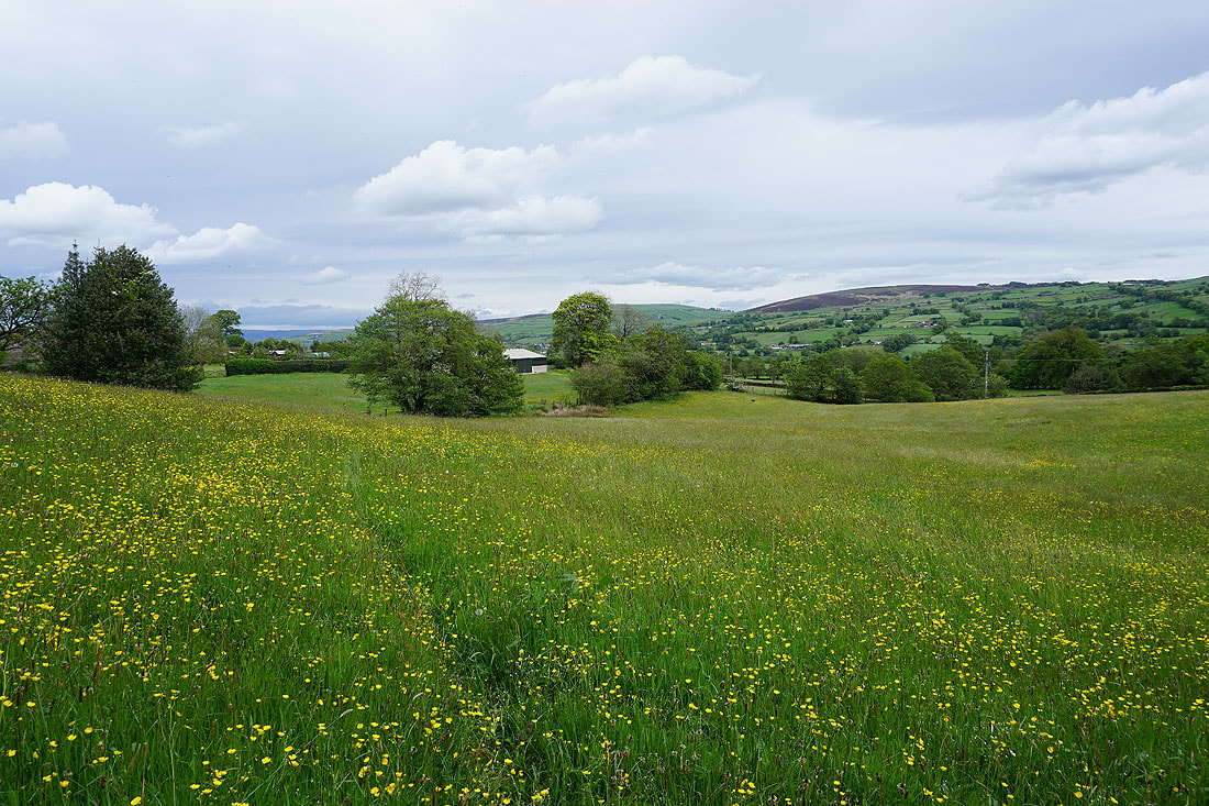
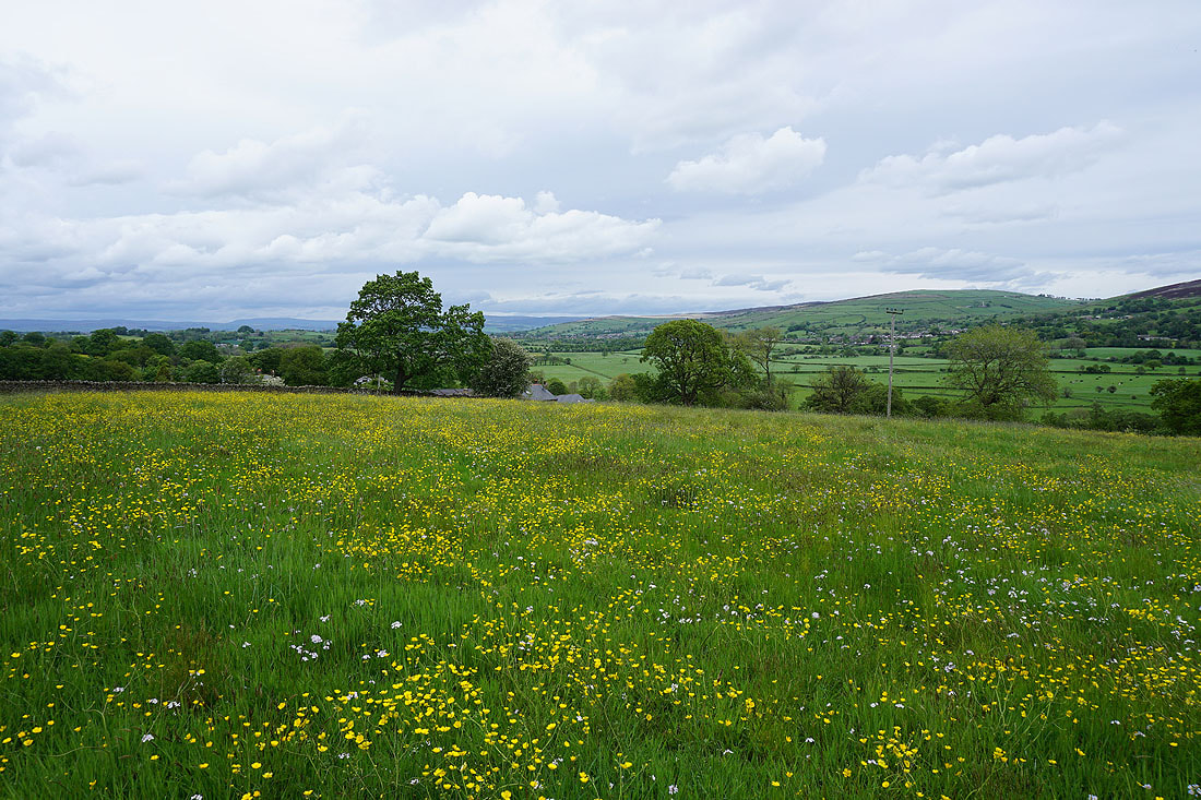
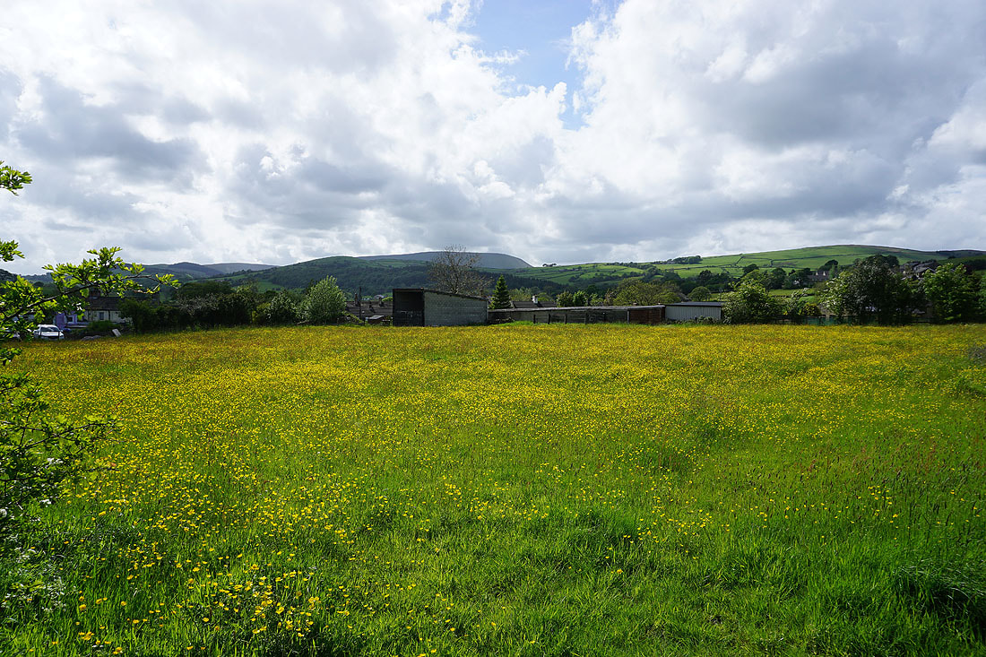
Just a few minutes from home and I pass a field full of buttercups
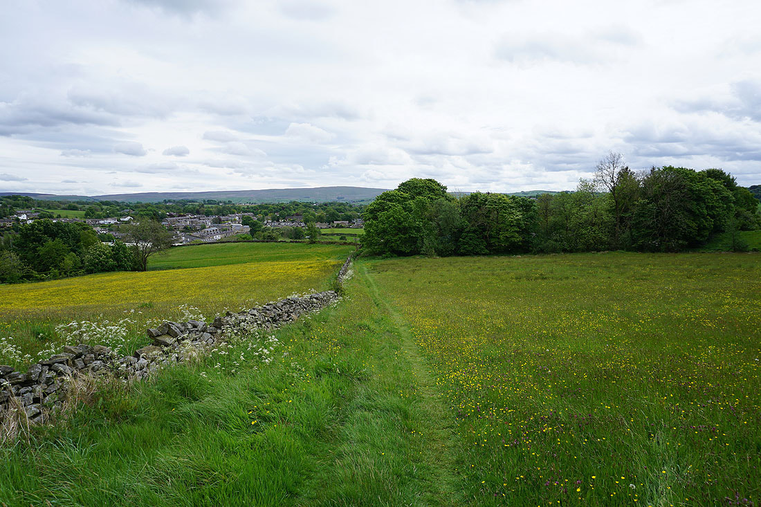
Leaving Foulridge behind with Boulsworth Hill in the distance
Taking the path north to County Brook, and Kelbrook Moor and Bleara Moor come into view..
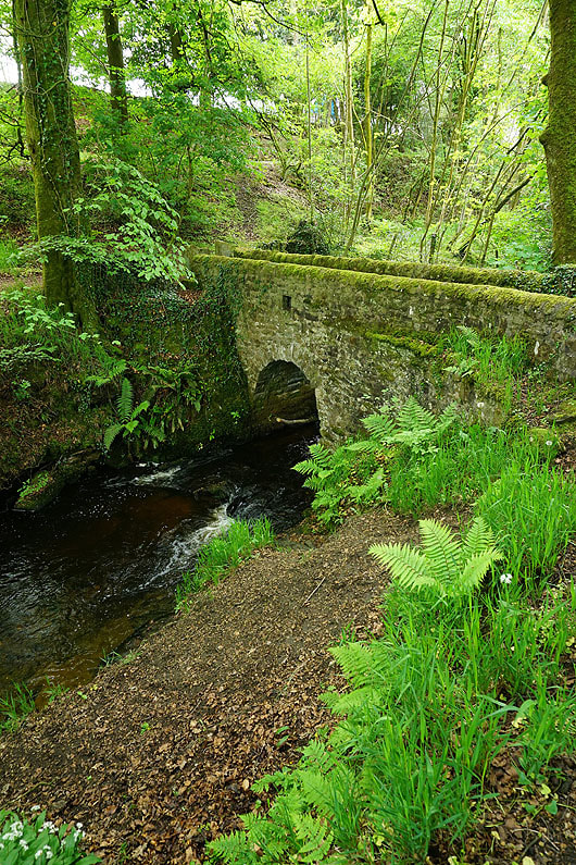
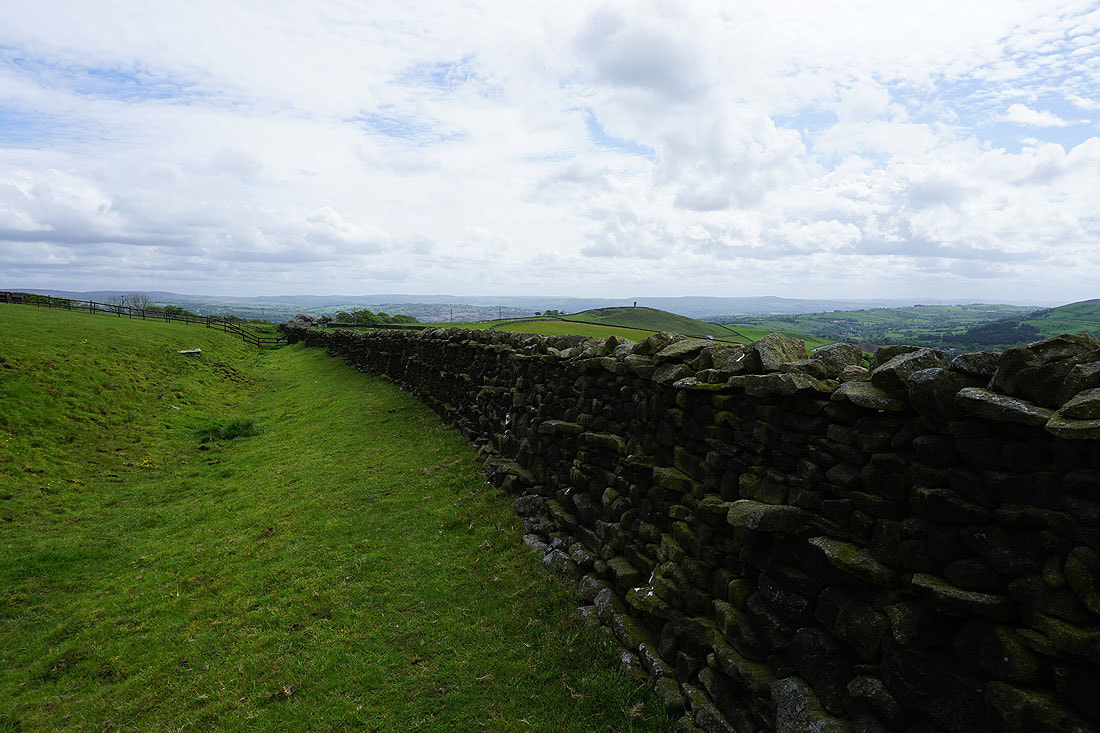
The footbridge over County Brook
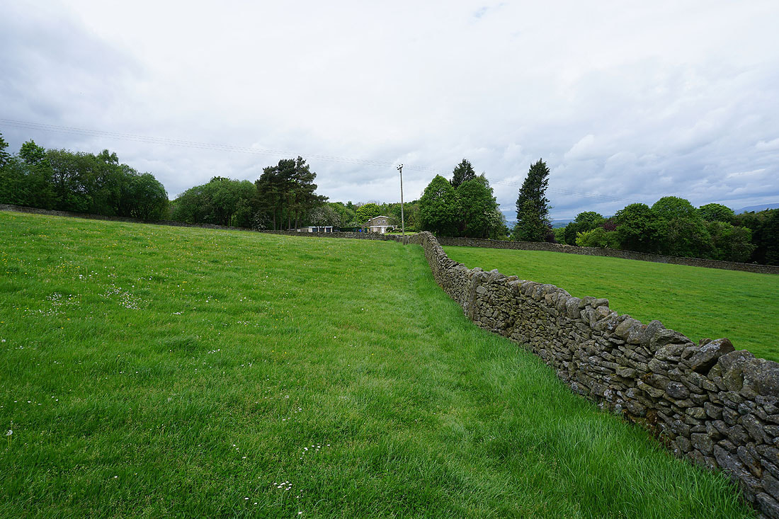
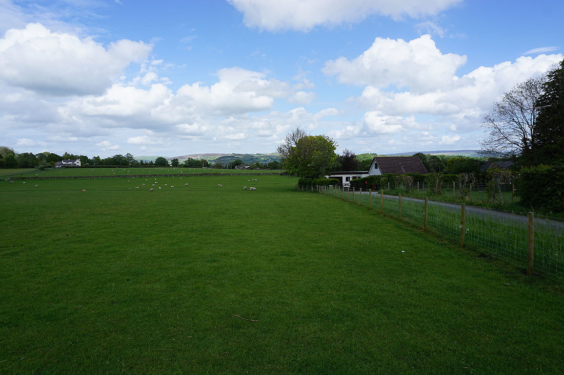
Following the field paths north from County Brook and I approach Park Close on Moor Lane
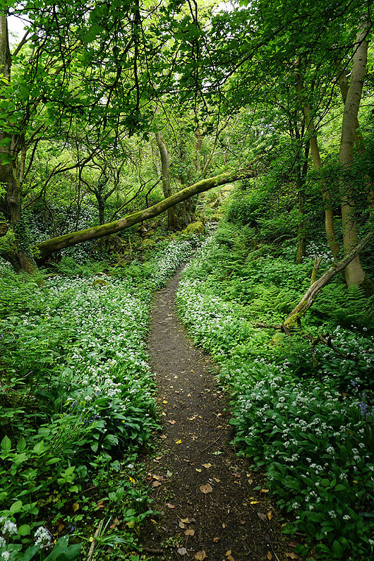
The footpath on the other side of Moor Lane takes me through a patch of woodland with wild garlic in flower
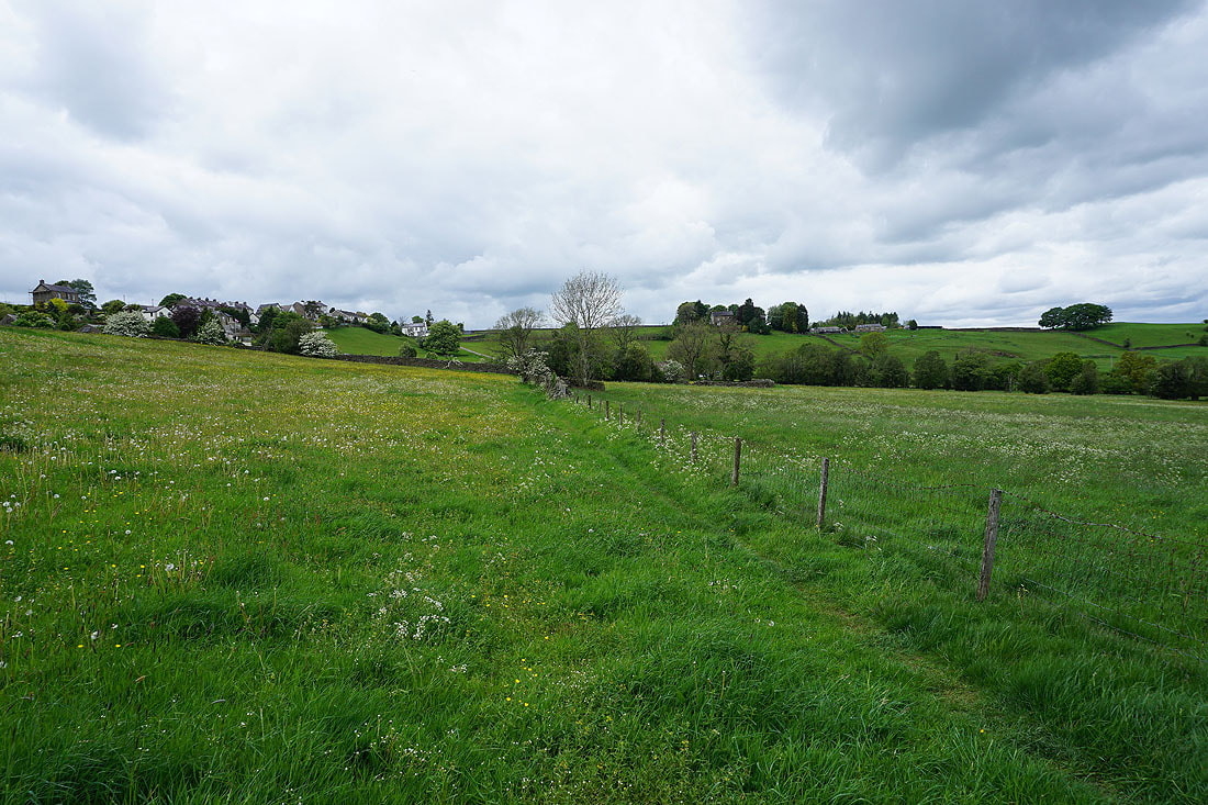
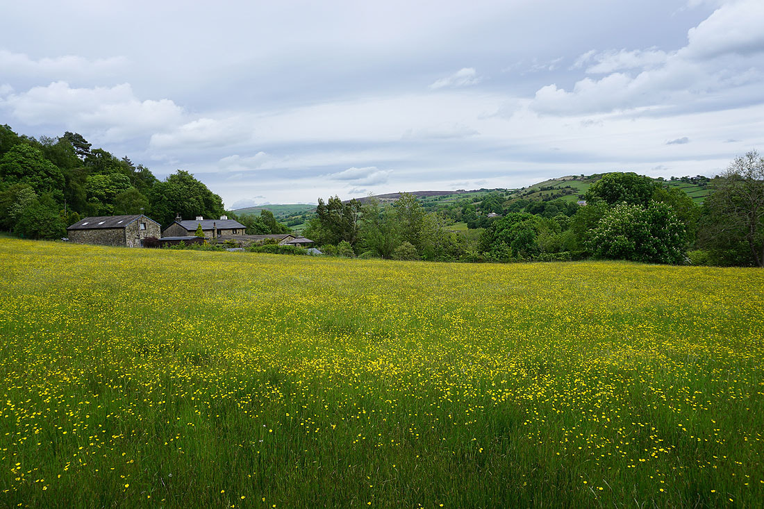
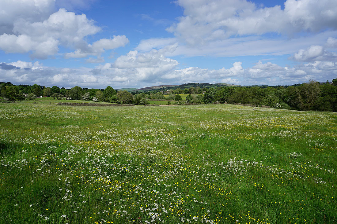
Walking through hay meadows on the path to Dye House Farm..
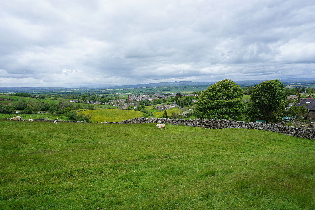
Barnoldswick below with Ingleborough and the hills above Settle in the distance from the bottom of Lister Well Road
Walking up Lister Well Road
Another shot across to the Yorkshire Dales with Ingleborough on the left and Great Whernside on the right
On the bridleway from Higher View Farm up to Duck Pond Farm

Looking back with Ingleborough, Penyghent, Buckden Pike and Great Whernside in the distance
and over the wall to my right to Barden Moor and Thornton Moor in the distance
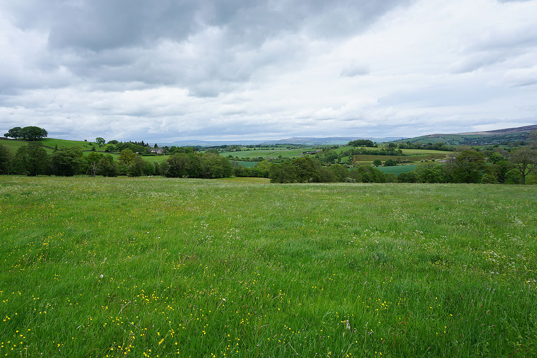
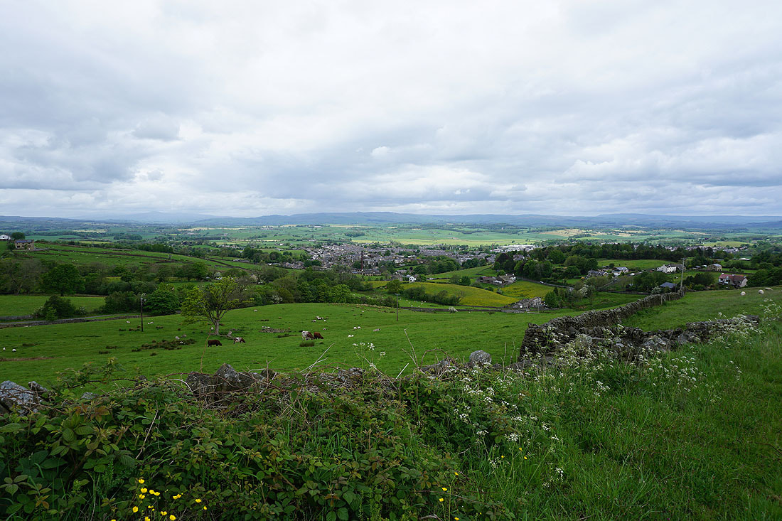
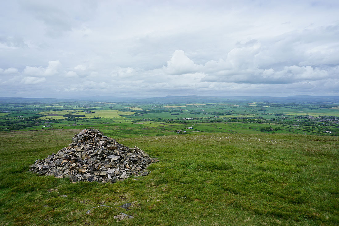
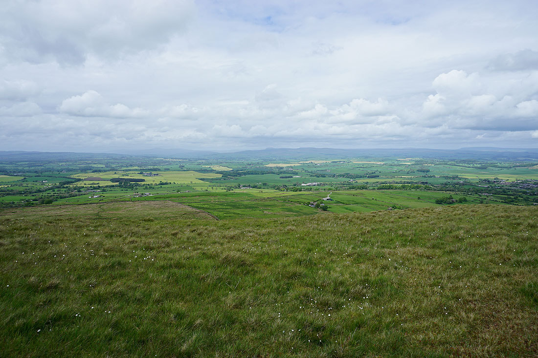
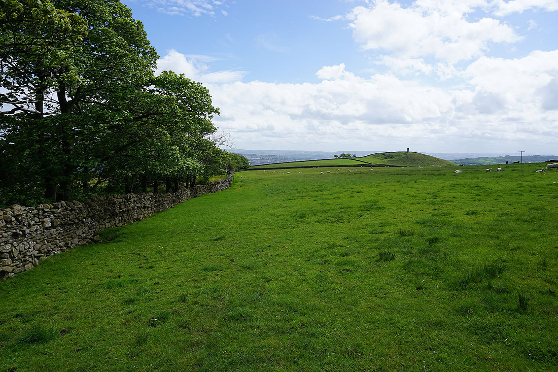
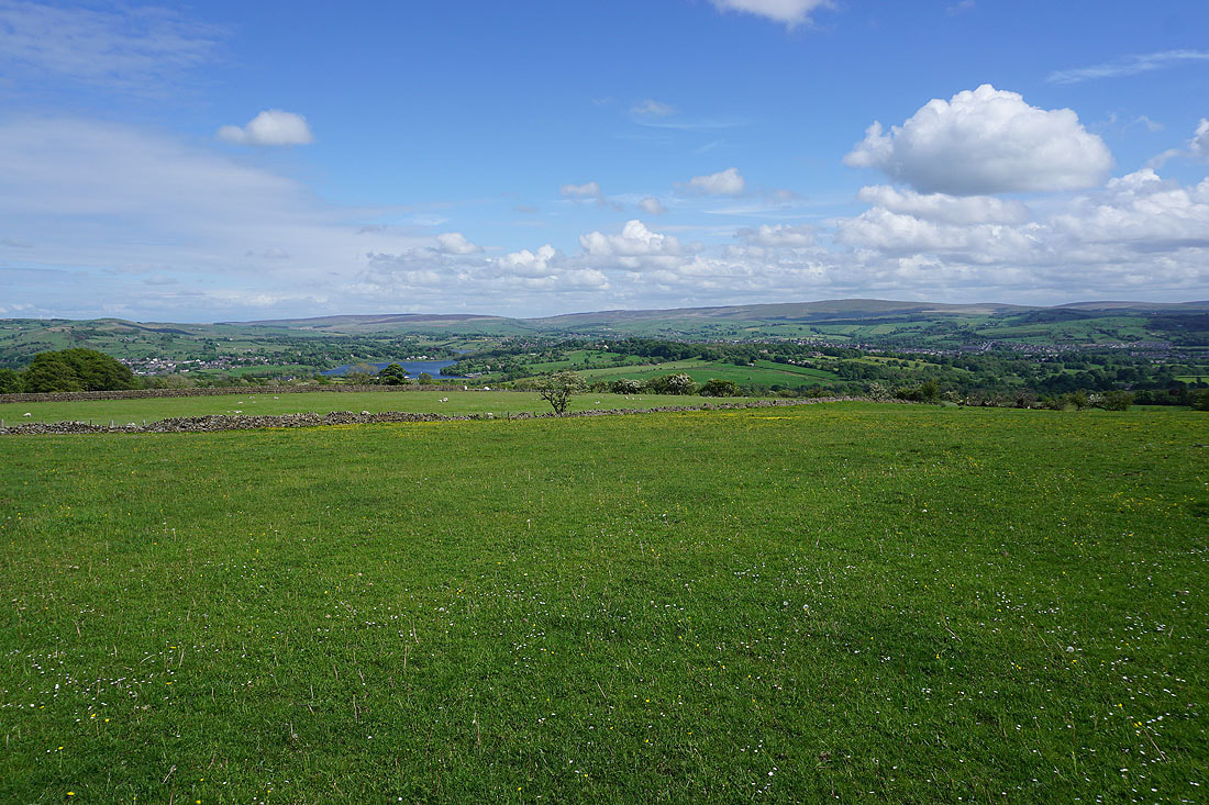
Past Duck Pond Farm and onto access land on Weets Hill. Blacko Hill and the Forest of Pendle, with the moors above Burnley in the distance.
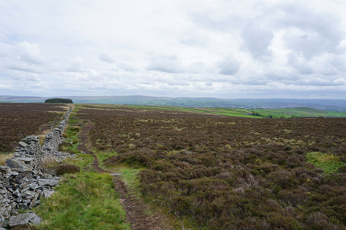
and looking back to Boulsworth Hill in the distance
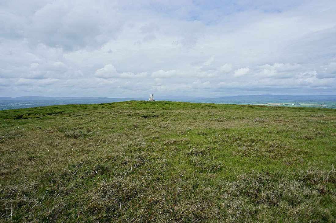
A great view looking northeast to Great Whernside and Barden Moor in the Yorkshire Dales is revealed as I reach the northern edge of Weets Hill
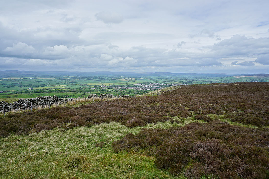
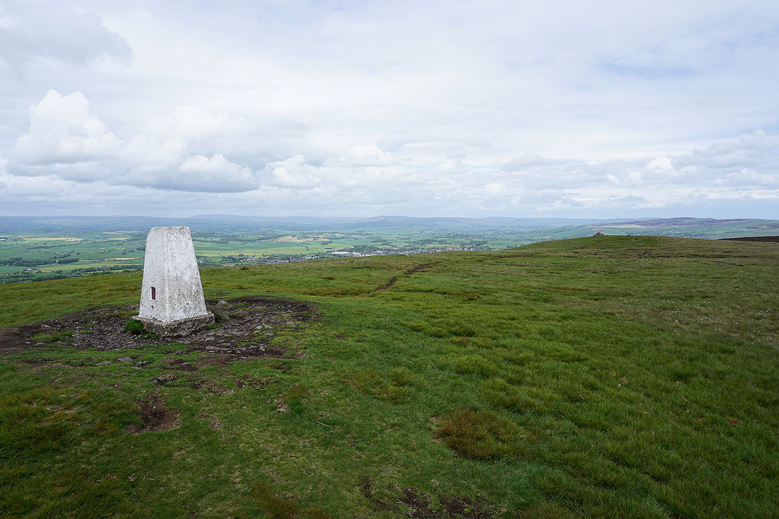
At the eastern end of the top of Weets Hill. The town of Barnoldswick below with Great Whernside, Barden Moor and Pinhaw Beacon in the distance.
The top of Pendle Hill from the eastern end of the summit
Looking north across the Ribble Valley to Ingleborough, Penyghent, the moors above Malhamdale, Buckden Pike and Great Whernside
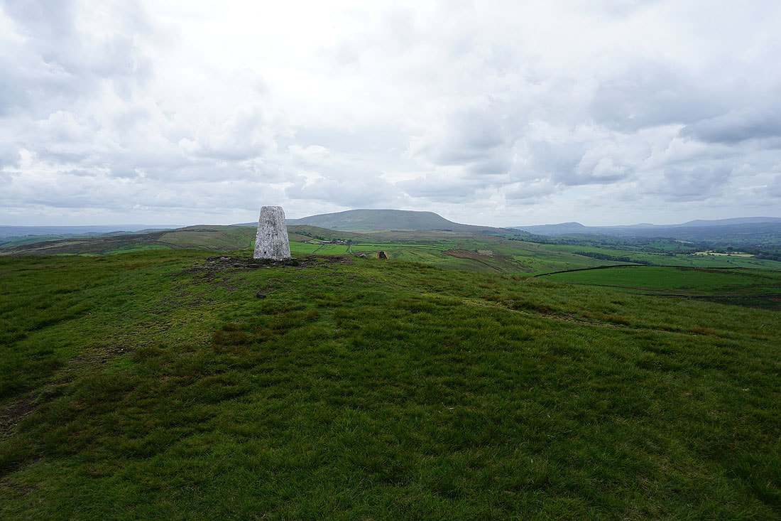
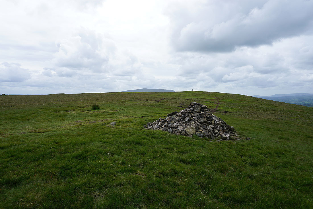
Pendle Hill from the trig point on Weets Hill
Great Whernside and Barden Moor to the northeast
A couple more shots looking north to the Yorkshire Dales before I leave the summit..
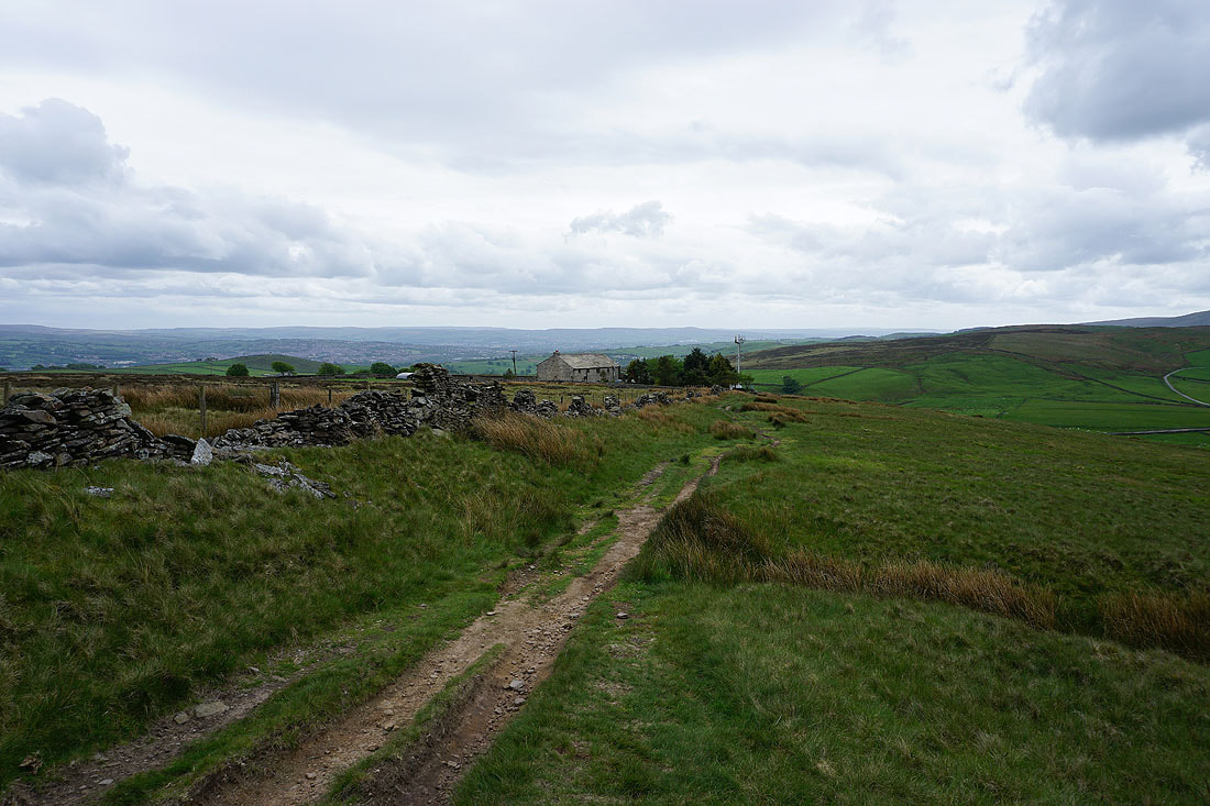
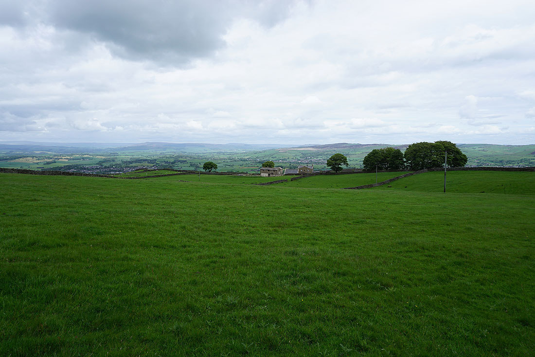
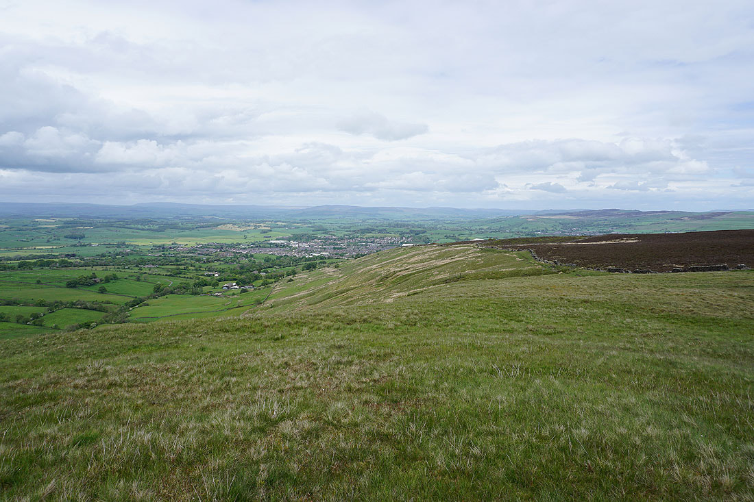
Heading for Weets House Farm
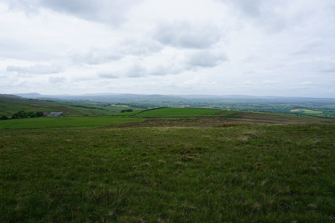
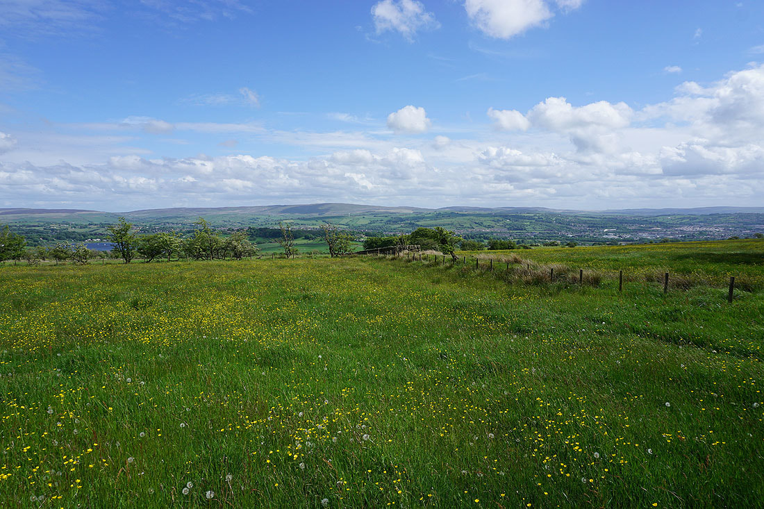
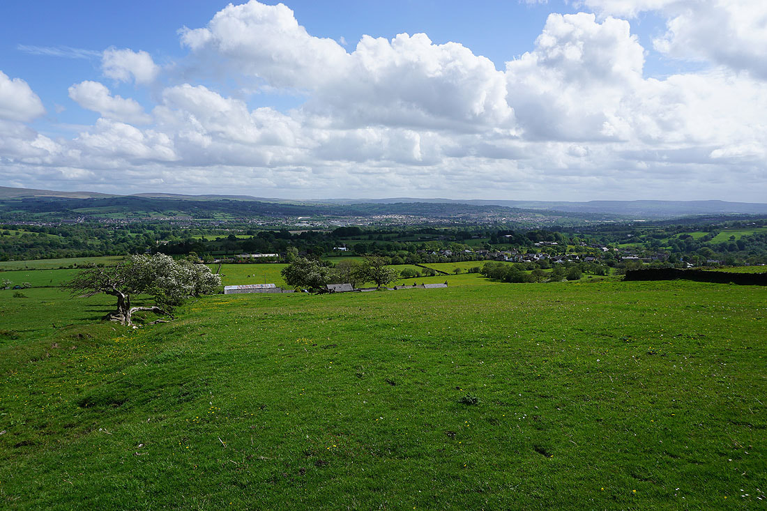
Looking across the Ribble Valley to the Forest of Bowland
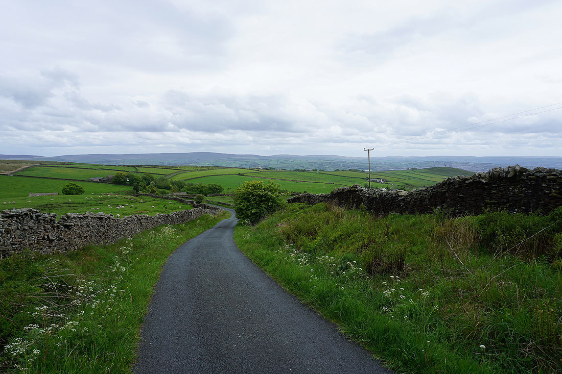
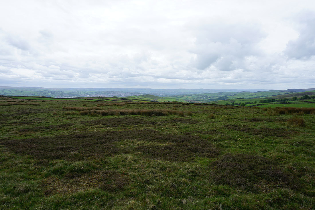
Heading down Gisburn Old Road with Boulsworth Hill in the distance
On the Pendle Way to Blacko Hill
On Blacko Hill
I'm not heading this way but I couldn't resist popping into this neighbouring field to take in the view
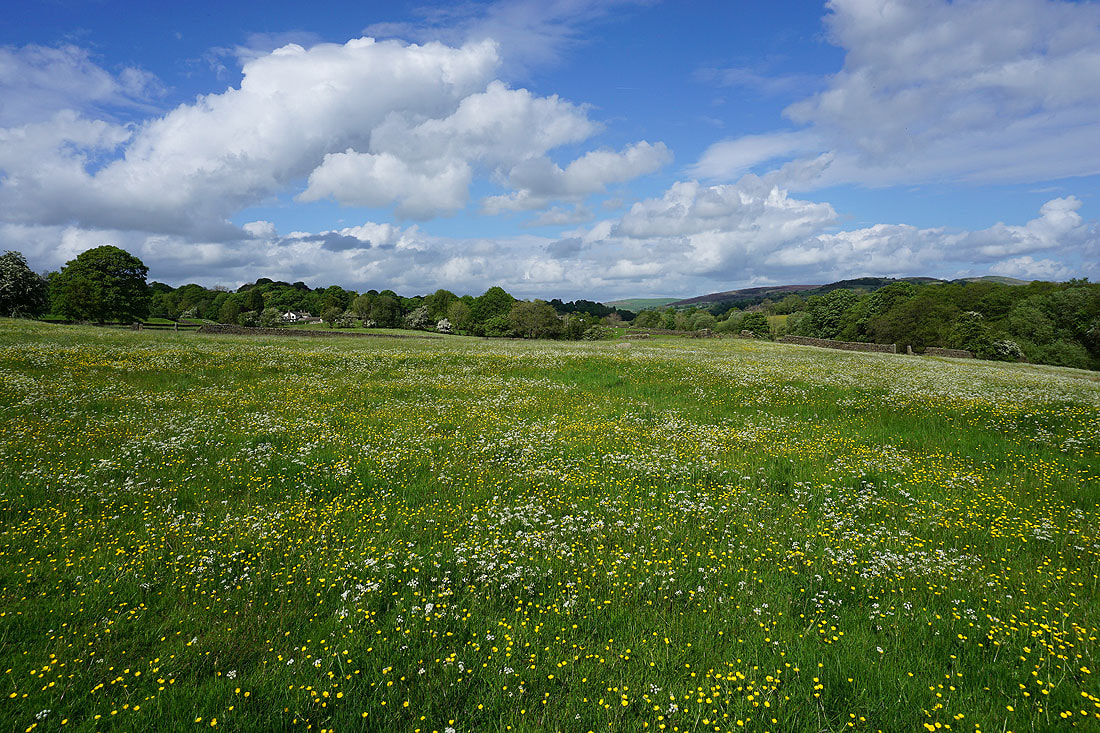
The buttercups are putting on a show
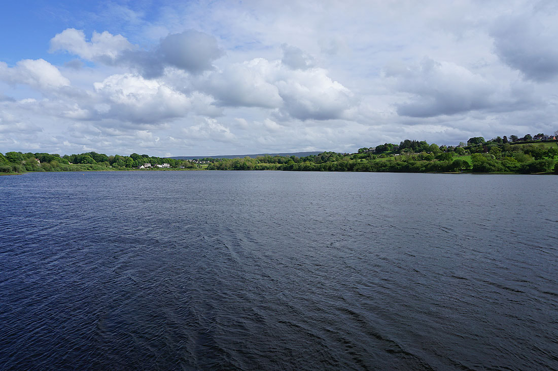
Foulridge, Foulridge Lower Reservoir, Ickornshaw Moor and Boulsworth Hill
The village of Blacko below as I follow the path down to Blacko Hill Side Farm
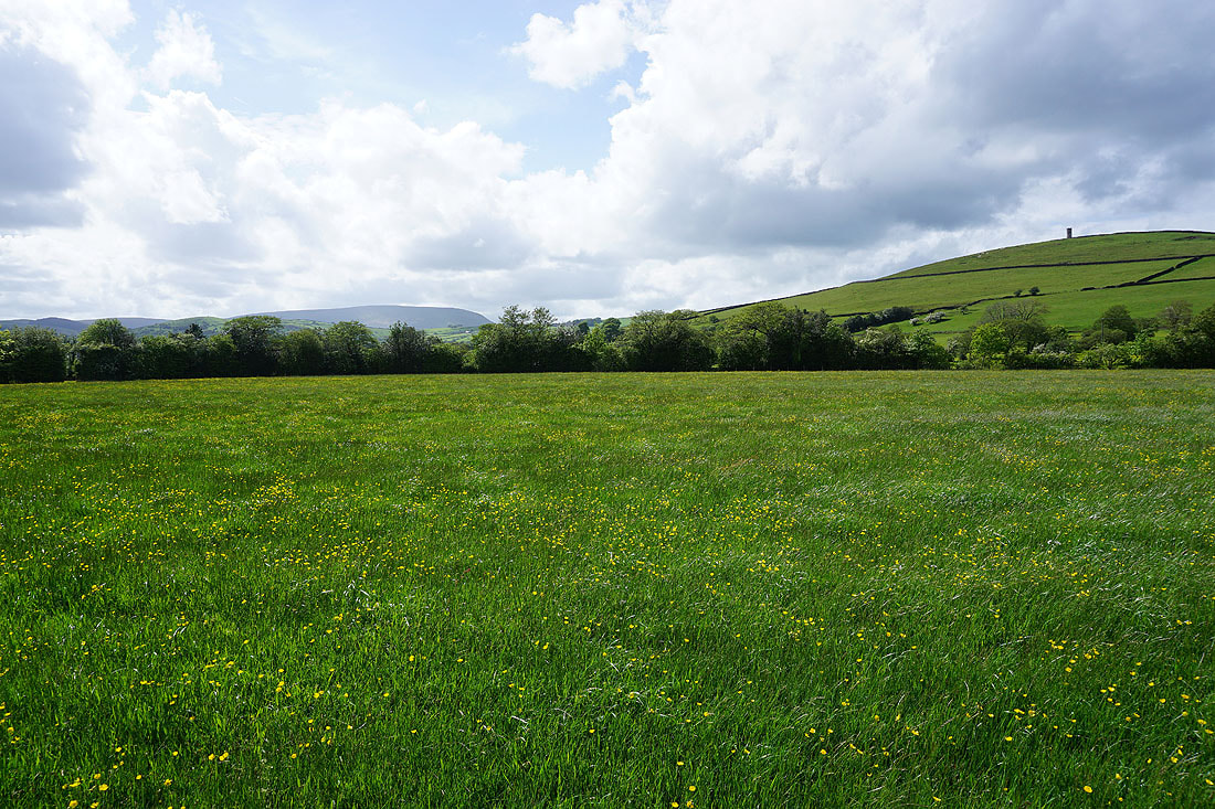
Pendle Hill and Blacko Hill from Burnt House Farm
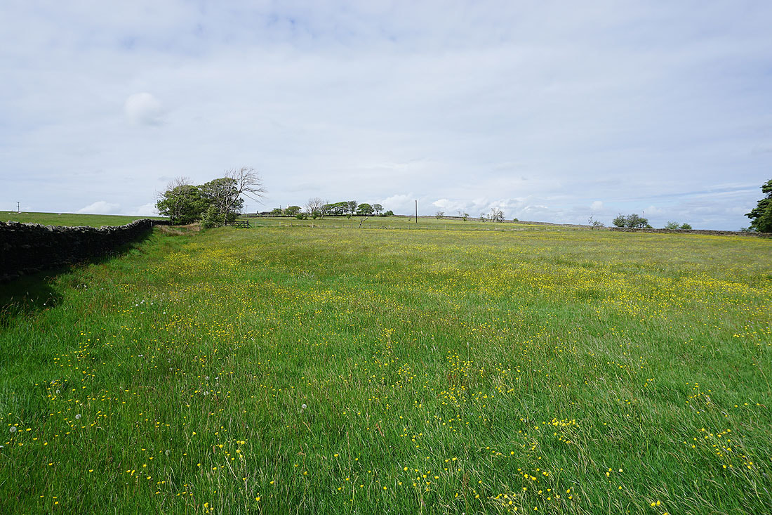
More fields of buttercups as I walk through Blacko..
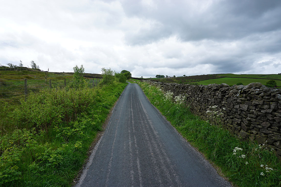
Following the path from Great Stonedge Farm in Blacko to Barnoldswick Road
Boulsworth Hill in the distance from the roadside opposite The Cross Gaits Inn
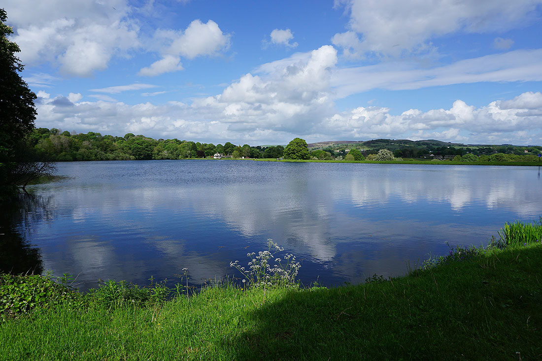
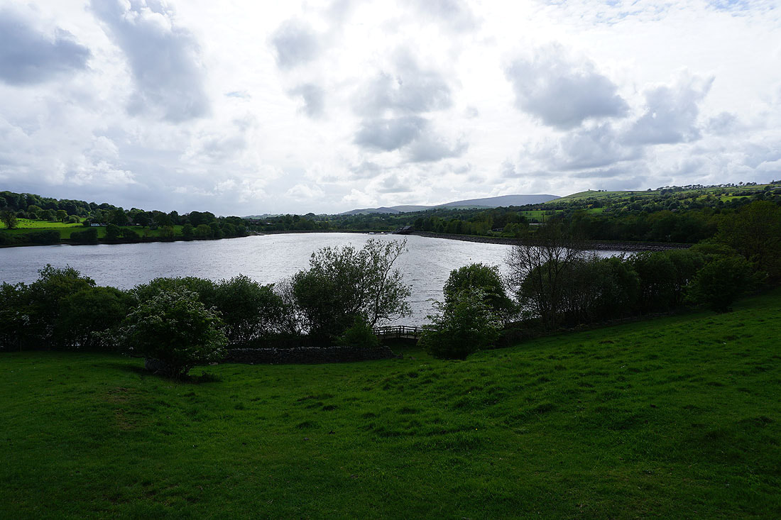
By Slipper Hill Reservoir
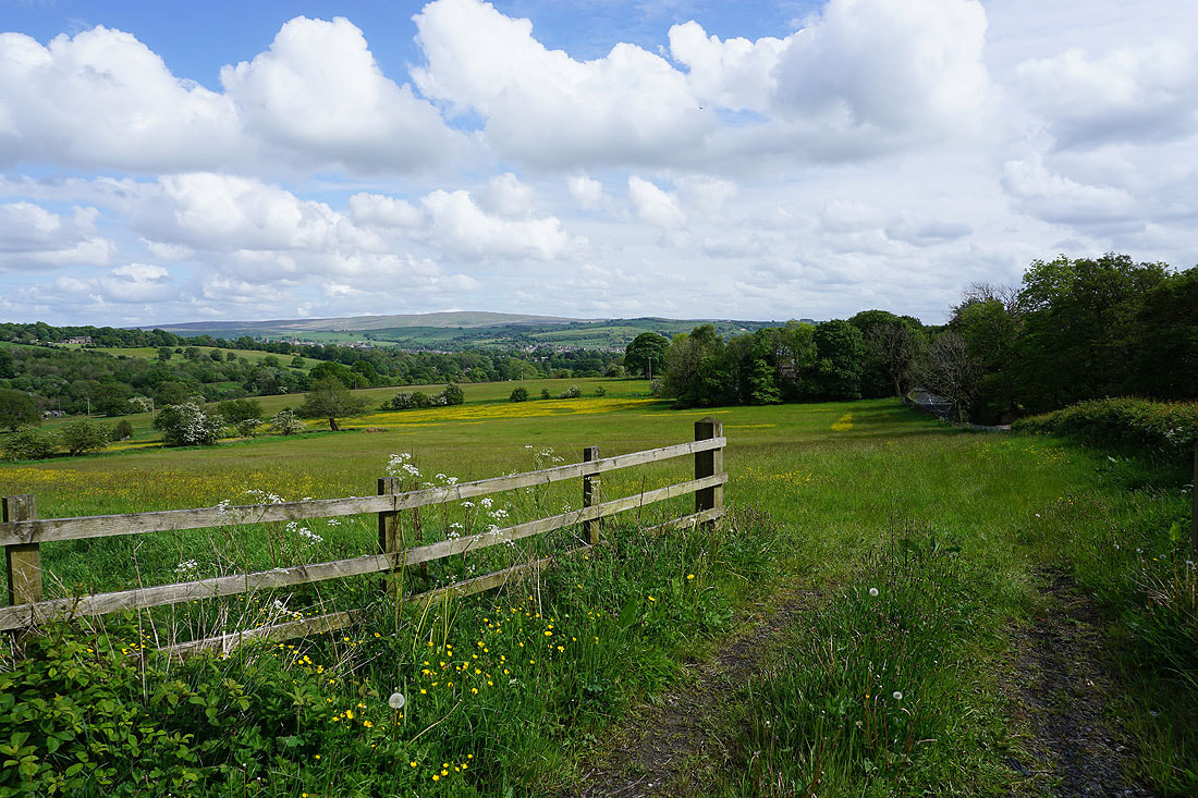
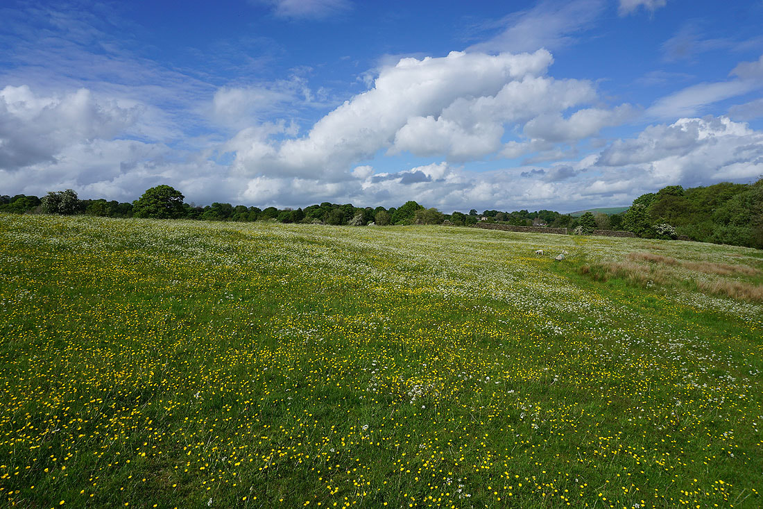
Meadows full of flowers just below Slipper Hill Reservoir...

On the bridleway from Slipper Hill to Reedymoor Lane
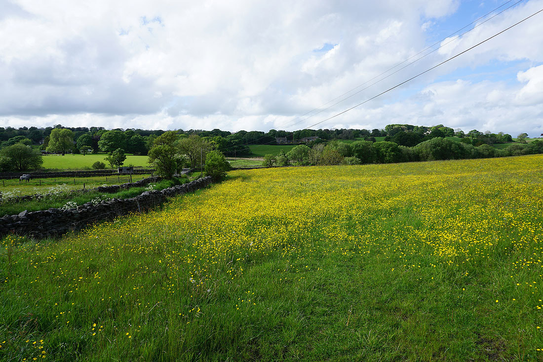
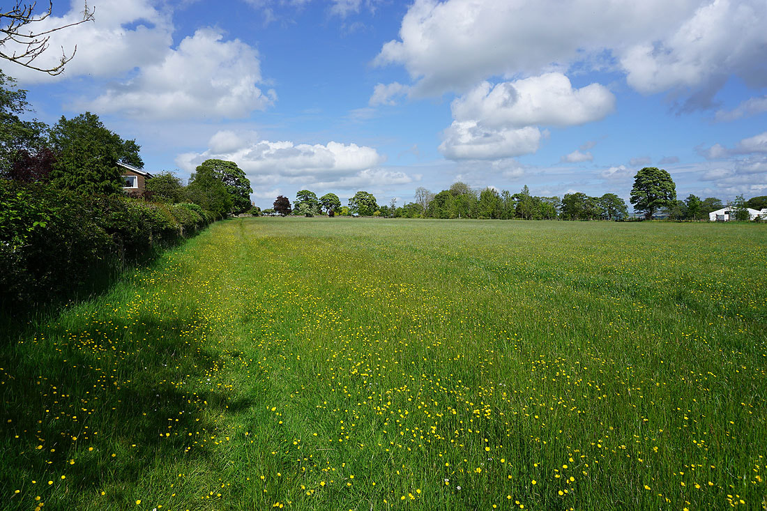
Buttercup filled field by Reedymoor Lane
By Foulridge Lower Reservoir
Pendle Hill in the distance on the right from above Foulridge Lower Reservoir
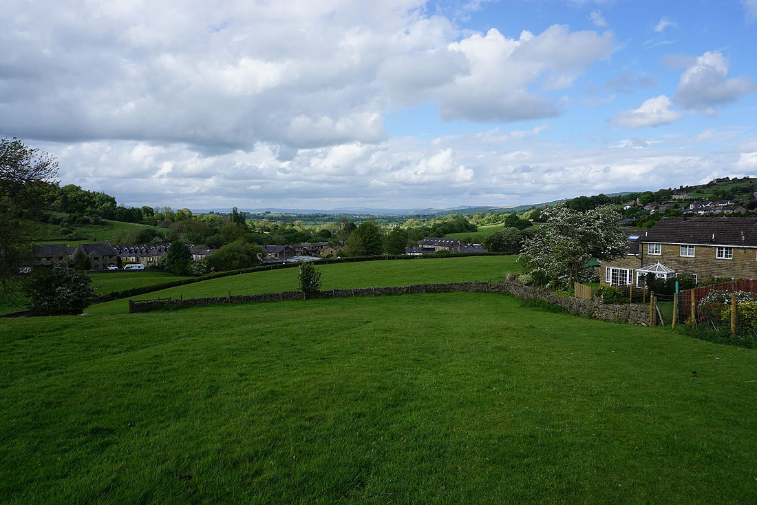
Back in Foulridge with Great Whernside in the distance