21st May 2023 - Earl Crag and Wolf Stones
Walk Details
Distance walked: 10.5 miles
Toal ascent: 1869 ft
OS map used: OL21 - South Pennines
Time taken: 6.5 hrs
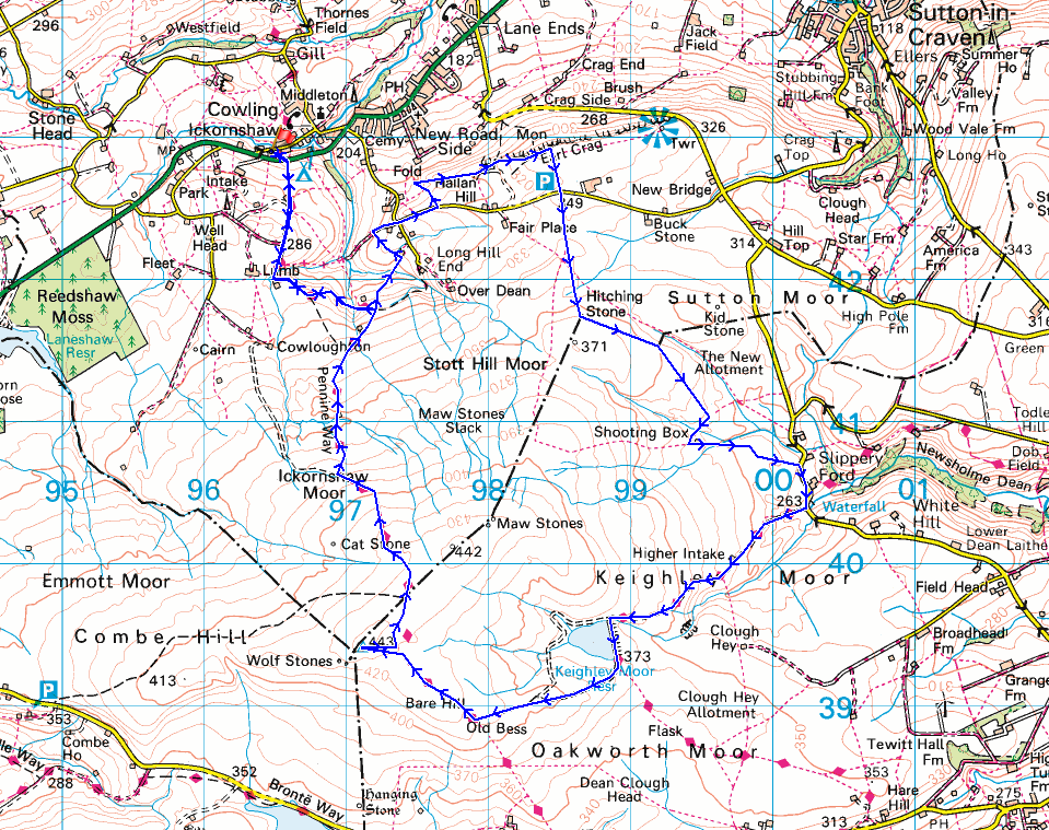
Route description: Ickornshaw-Pennine Way-Dean Brow Beck-Pondhill Farm-Close Lane-Piper Lane-Hallan Hill Farm-Wainman's Pinnacle-Buck Stone Lane-Hitching Stone-Shooting Box-Slippery Ford Lane-Morkin Bridge-Keighley Moor Reservoir-Pennine Way-Wolf Stones-Pennine Way-Ickornshaw
For my second walk of the weekend I've made the short drive across to Ickornshaw to do a route taking in Earl Crag and the moorland of Wolf Stones. I was already familiar with most of the countryside I was walking through and the paths I was using, but I did manage to explore some new territory. The footpath from the Pennine Way down to Dean Brow Beck and up to Close Lane was new to me, as was the route I took to get to Earl Crag from Piper Lane. It was the way I was able to take to get from the Hitching Stone to Slippery Ford Lane that was a valuable bit of knowledge. On the previous occasions that I've walked from one to the other I've negotiated the boggy ground of Smallden Head to make it to a path by a line of grouse butts, and following this took me to a track down to a shooting house. The trod that I could follow east by the wall from the Hitching Stone to pick up a public footpath to the shooting house was a much easier proposition. There was a bit of cloud around when I set off from Ickornshaw, but this soon cleared to leave a beautiful spring day with lots of blue skies and warm sunshine, and with great visibility there were fantastic views to take in from the moors. It's become quite noticeable just how little rain that there's been during April and May so far. Even the bits of moorland that would normally be boggy underfoot were firm and easy to negotiate.
From where I parked on the lane of Nan Scar in Ickornshaw I got onto the trail of the Pennine Way and followed it south across the A6068, up to and past Lower Summer House Farm, and around the valley of Dean Brow Beck to the edge of access land. Here I left the trail and took a public footpath down to and across Dean Brow Beck, up to Pondhill Farm, and to the track of Close Lane. After a brief walk up Close Lane I reached Piper Lane, which I walked up to take the first public footpath on the left. I briefly followed this north across a beck, then took a public footpath on the right up to Hallan Hill Farm and onto access land to make my way up to Wainman's Pinnacle on Earl Crag. Once I'd taken in the view I walked out to Buck Stone Lane, crossed it, and took the path opposite across the moor up to the Hitching Stone, then followed a trod east by the wall until I reached a public footpath that took me south to the shooting house on Keighley Moor. From here I then walked down the track to Slippery Ford Lane, which I walked south along down to Morkin Bridge. I left the road behind here and made my way up the track to Keighley Moor Reservoir, then from the southern end of the dam I took the path west up the moor to reach the Pennine Way, which I followed west towards Wolf Stones, leaving it for the final climb to the trig point. After taking in the view I returned to the Pennine Way and followed it north, across Ickornshaw Moor, down to and around the valley of Dean Brow Beck, past Lower Summer House Farm, and back to Ickornshaw and where I was parked.
Route map
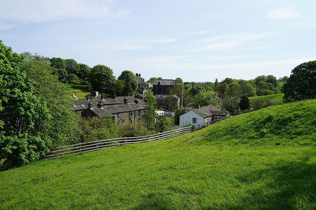
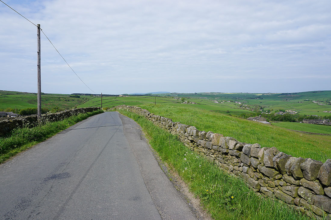
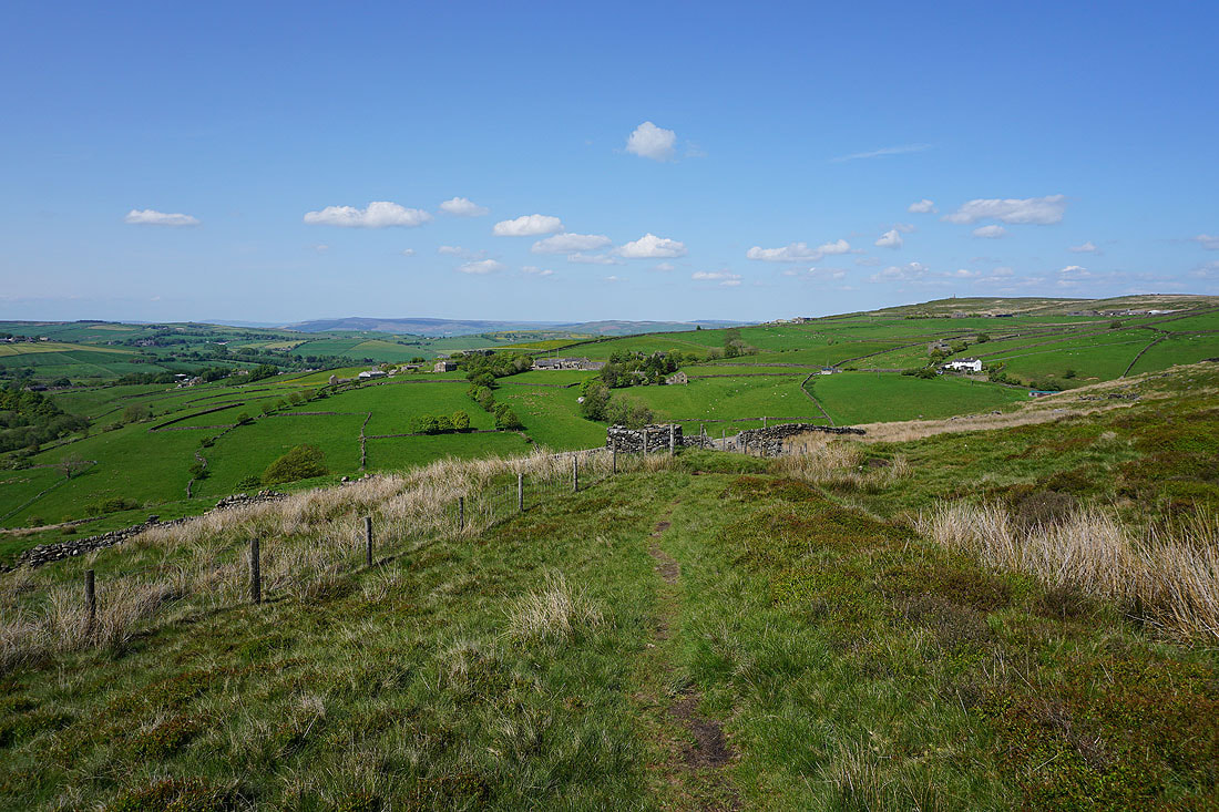
Above Ickornshaw as I leave it behind on the Pennine Way
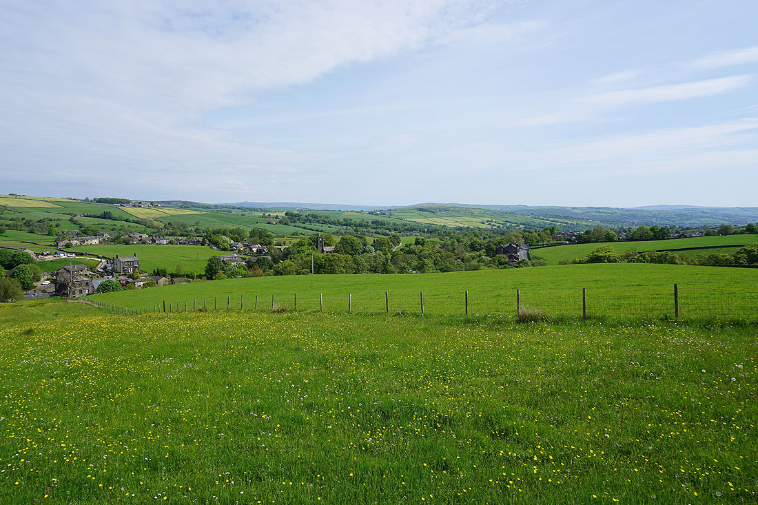
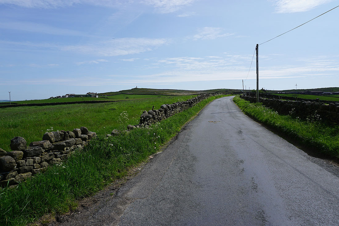
It's a beautiful May morning in the South Pennines
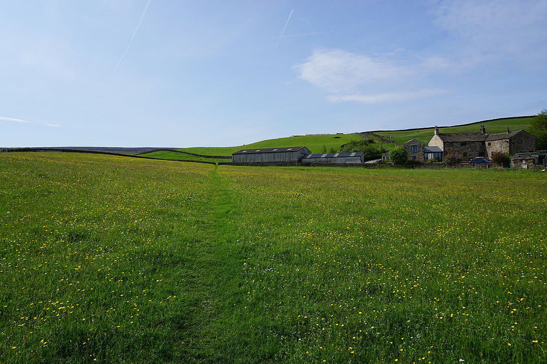
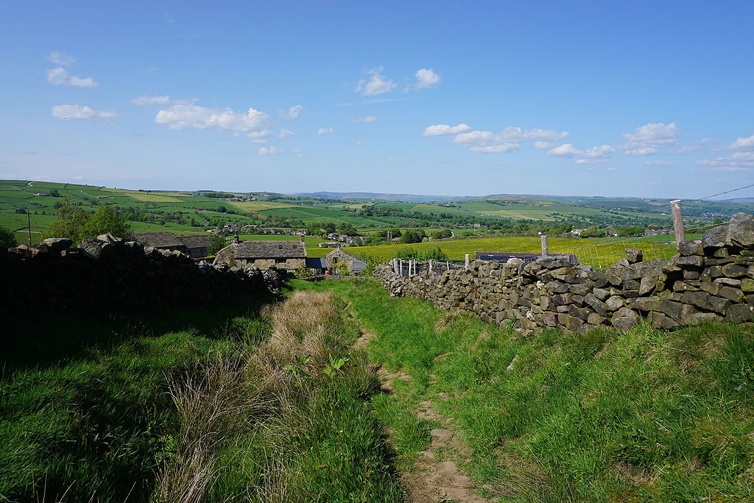
Heading up to Lower Summer House Farm
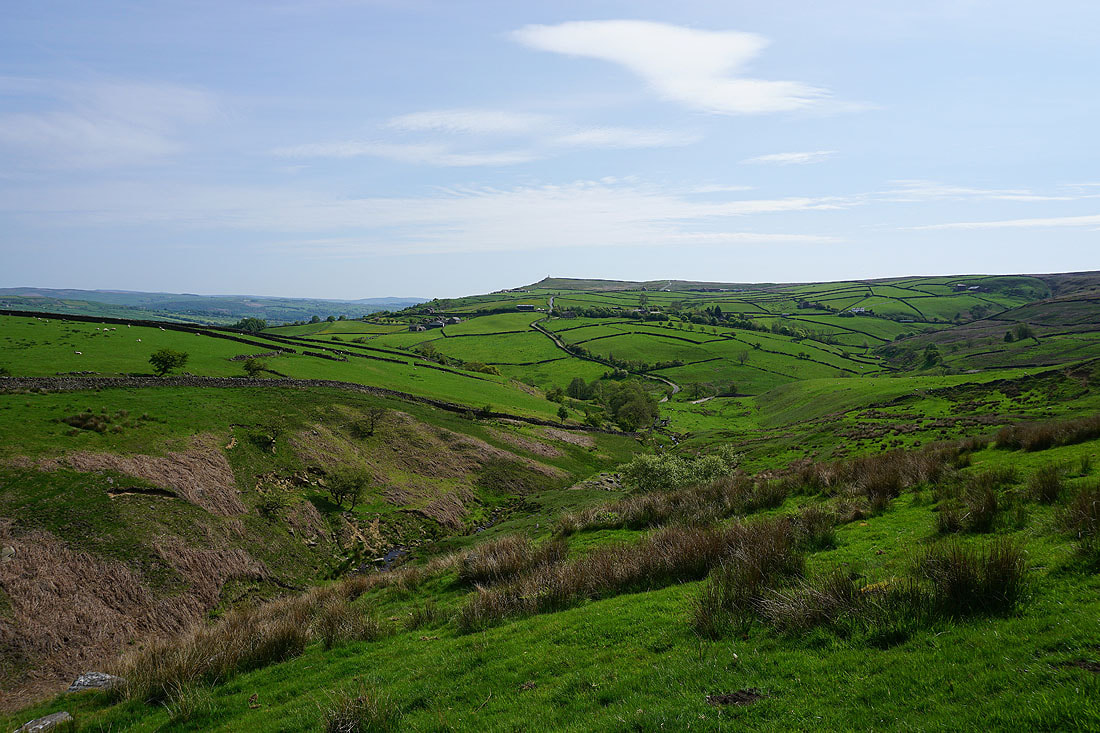
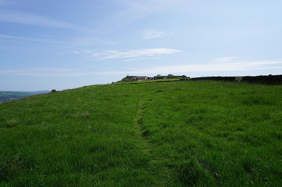
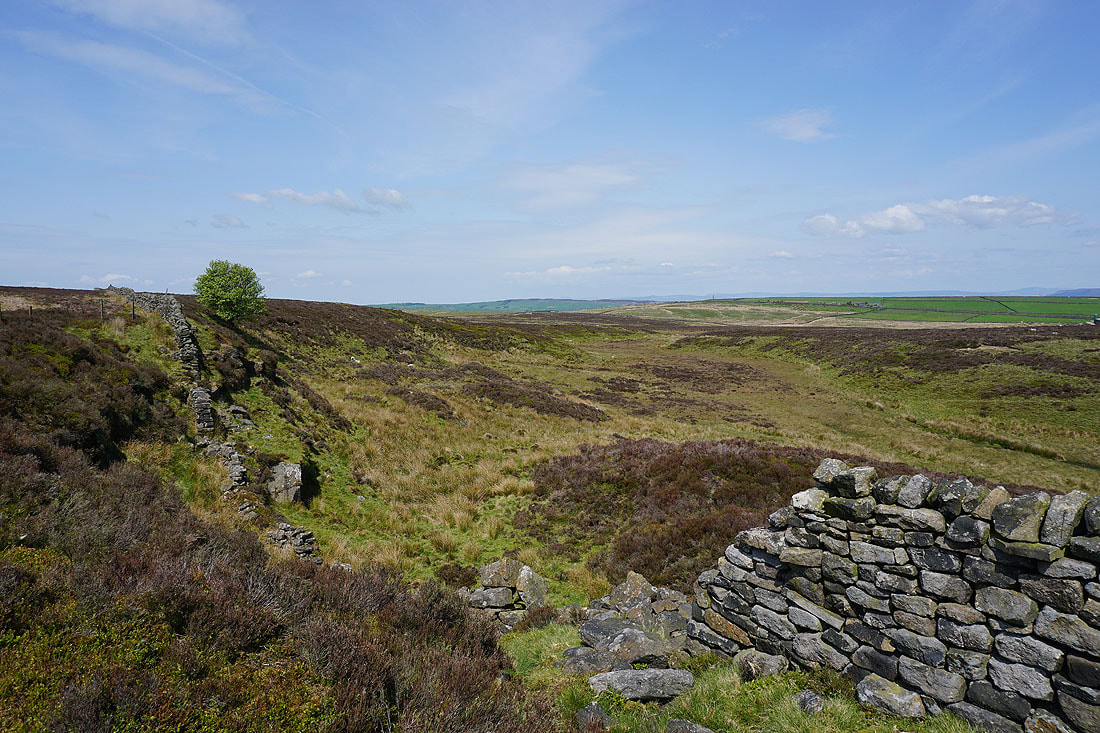
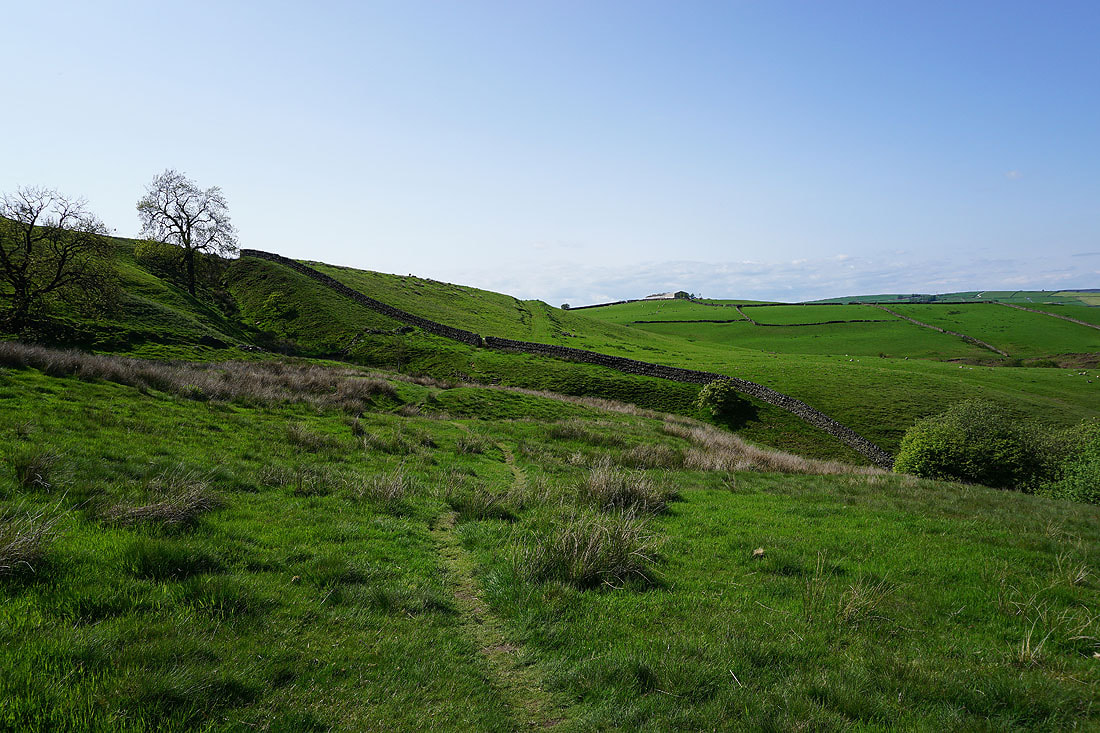
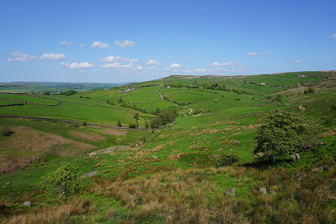
Looking towards Earl Crag from the Pennine Way above the valley of Dean Brow Beck
I leave the Pennine Way for a footpath down to Dean Brow Beck
The footbridge I used to cross Dean Brow Beck
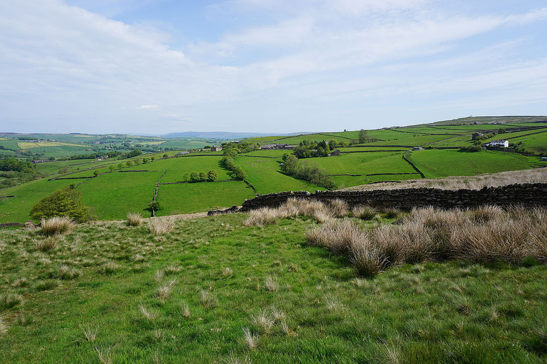
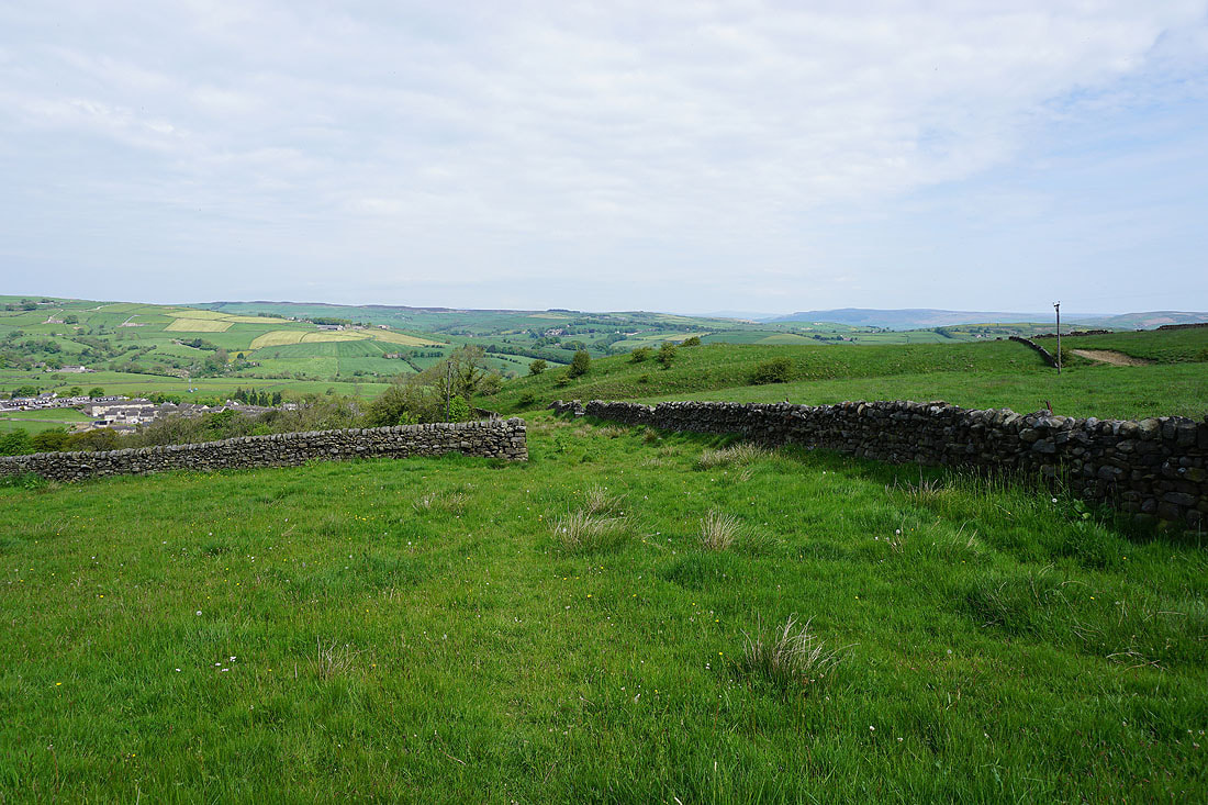
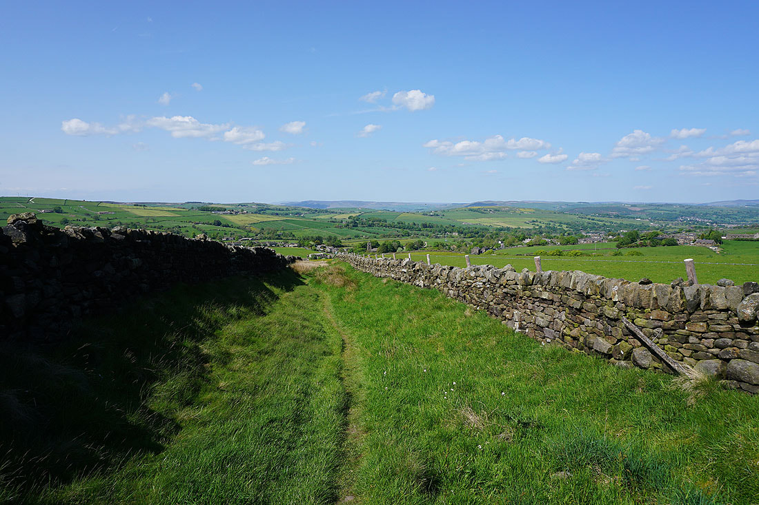
Looking across to the moorland above Cowling from Close Lane
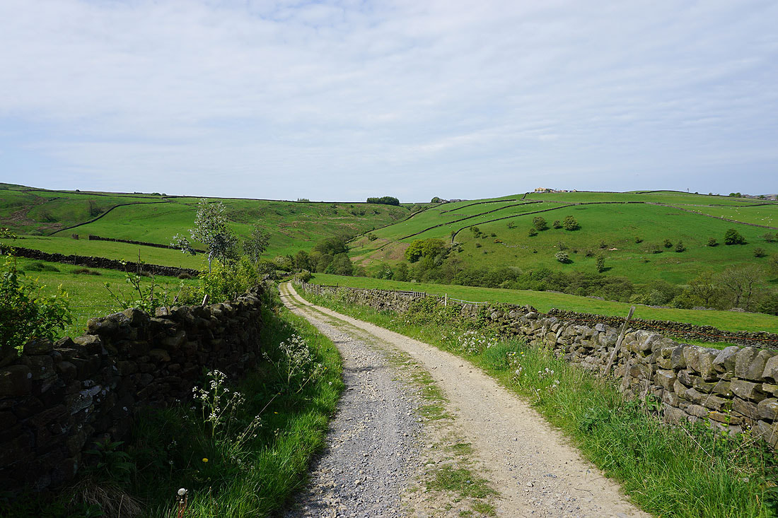
and west down Close Lane
Looking back as I walk up Piper Lane and the top of Pendle Hill appears above the nearby moors..
..as does Wainman's Pinnacle on the western end of Earl Crag to my left
Leaving Piper Lane I take a footpath north towards Fold Farm
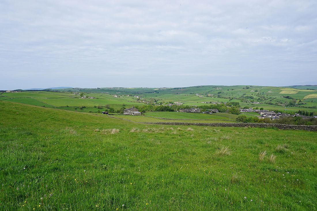
To my left, the moorland around Cowling
On the footpath up to Hallan Hill Farm
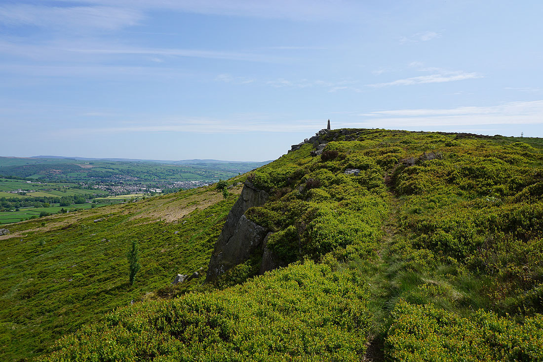
Making my way along the edge of Earl Crag to Wainman's Pinnacle
Pendle Hill in the distance, Cowling, and Cowling Hill
There's a great view to the north across the moorland around Airedale to the Yorkshire Dales
Looking east along Earl Crag to Lund's Tower
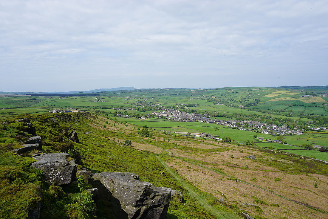
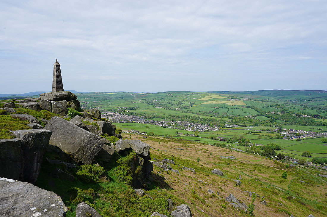
Wainman's Pinnacle, with Cowling in the valley below
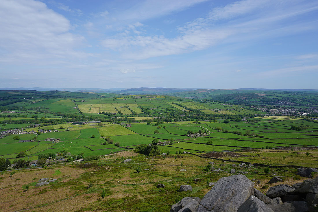
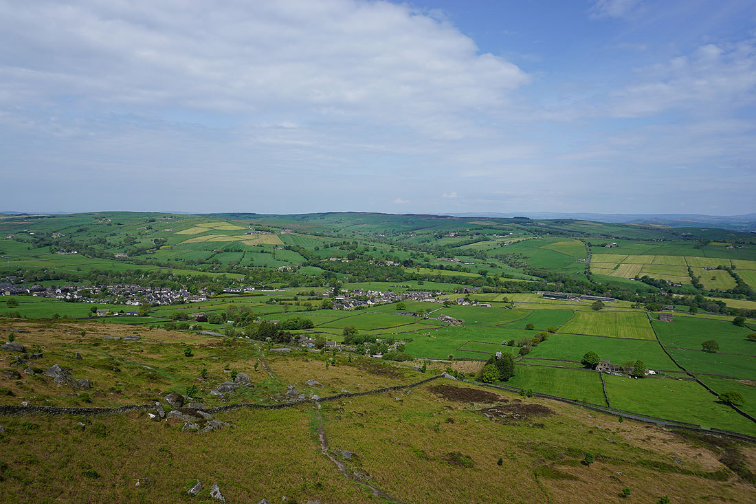
Finally, looking across to the moorland around Lothersdale
From Earl Crag I make my way to Buck Stone Lane, cross it, and take a path up the moor to the Hitching Stone
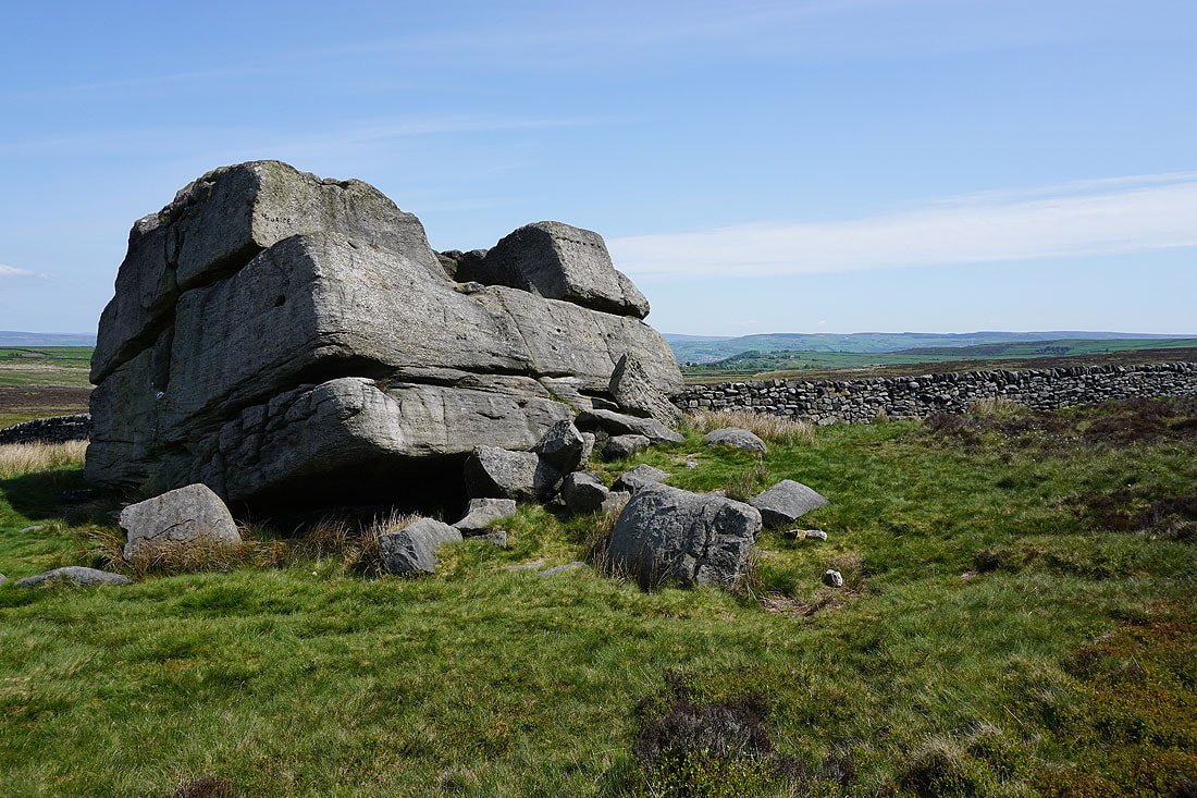
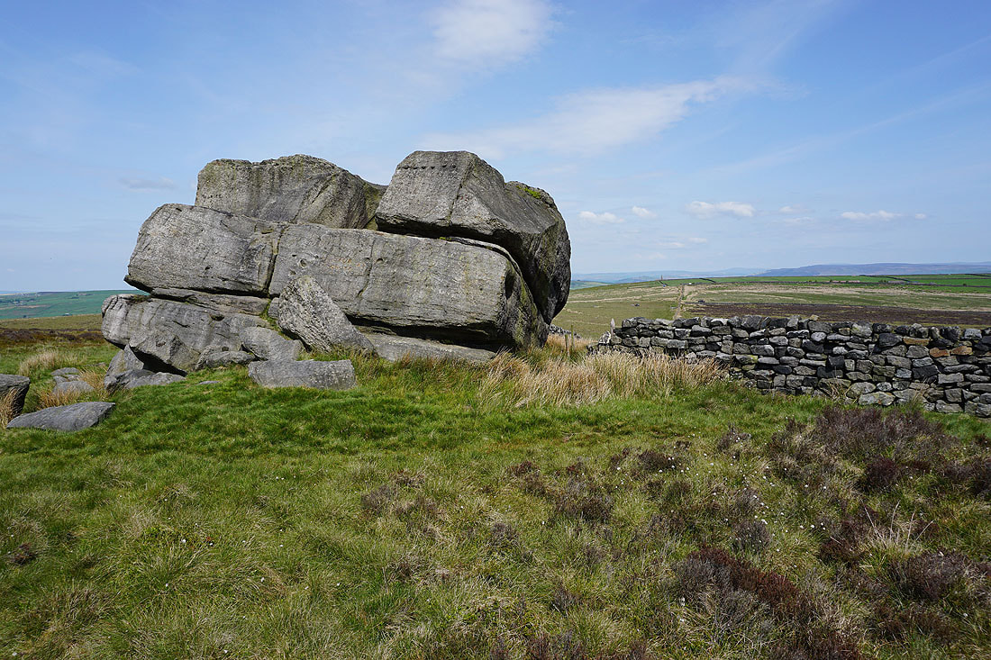
At the Hitching Stone. According to folklore this boulder was flung to its present location by a witch who lived on nearby Ilkley Moor. She was so annoyed at having her view spoilt by it that she "hitched" it up with her broomstick and threw it across the valley. The hole remains to show where the broomstick had been inserted..
Looking north past the top of Earl Crag to the moorland around Malhamdale and Wharfedale in the distance..
..and across to the moorland around Airedale
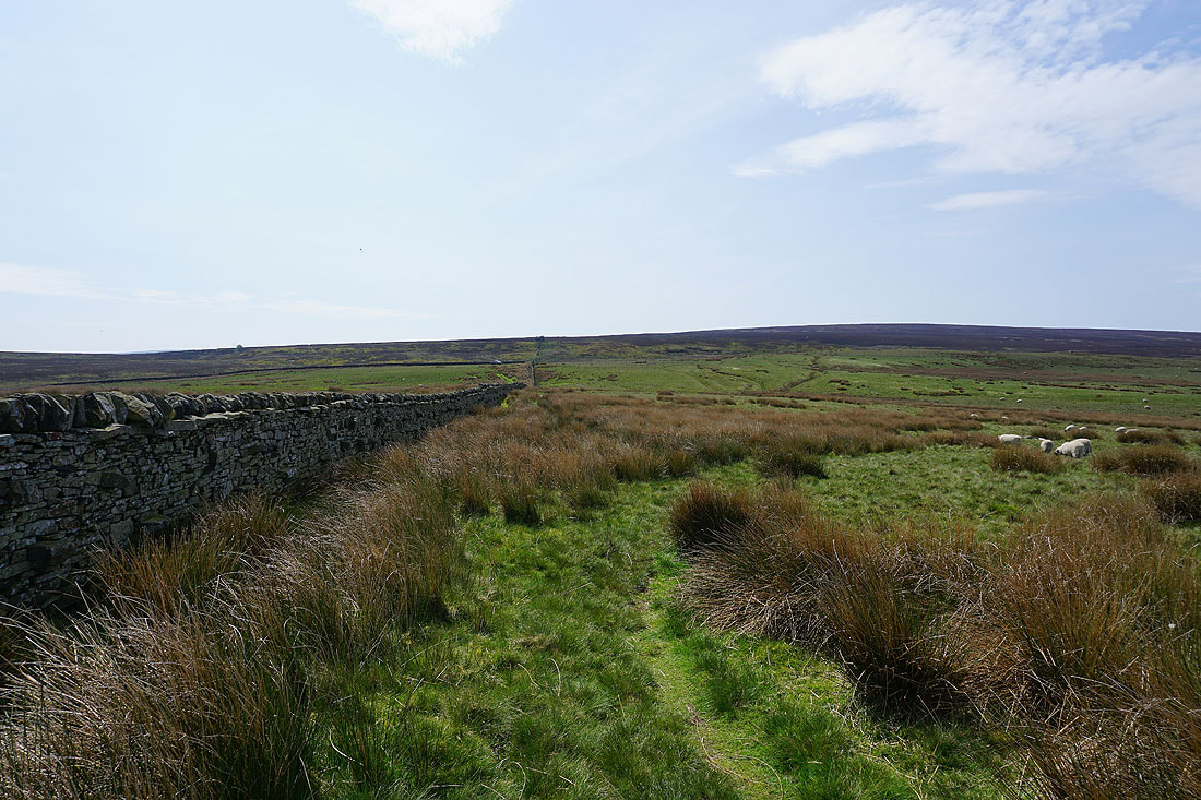
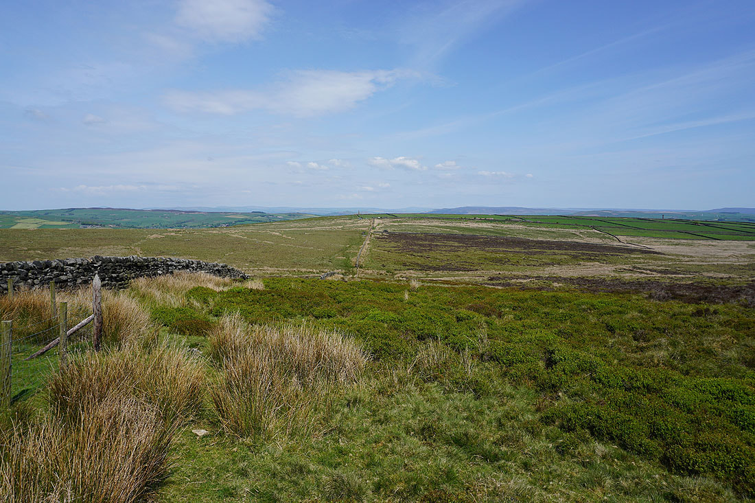
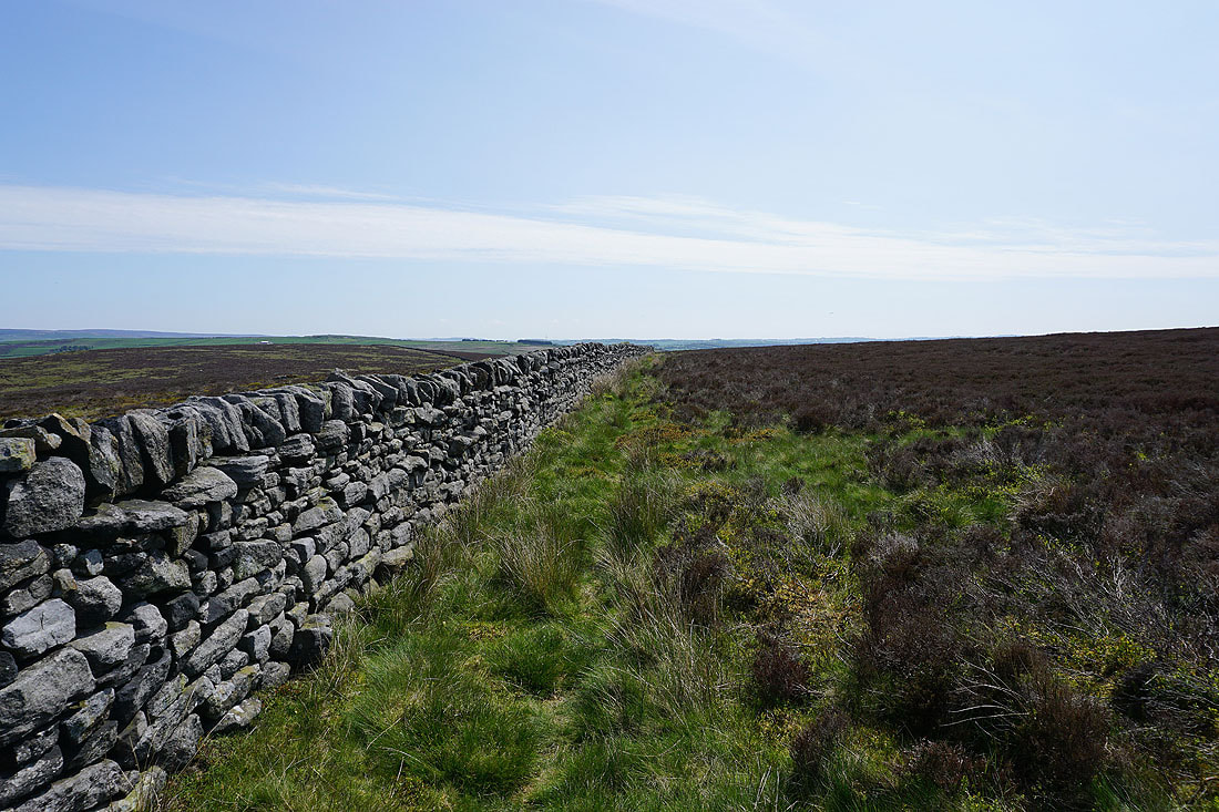
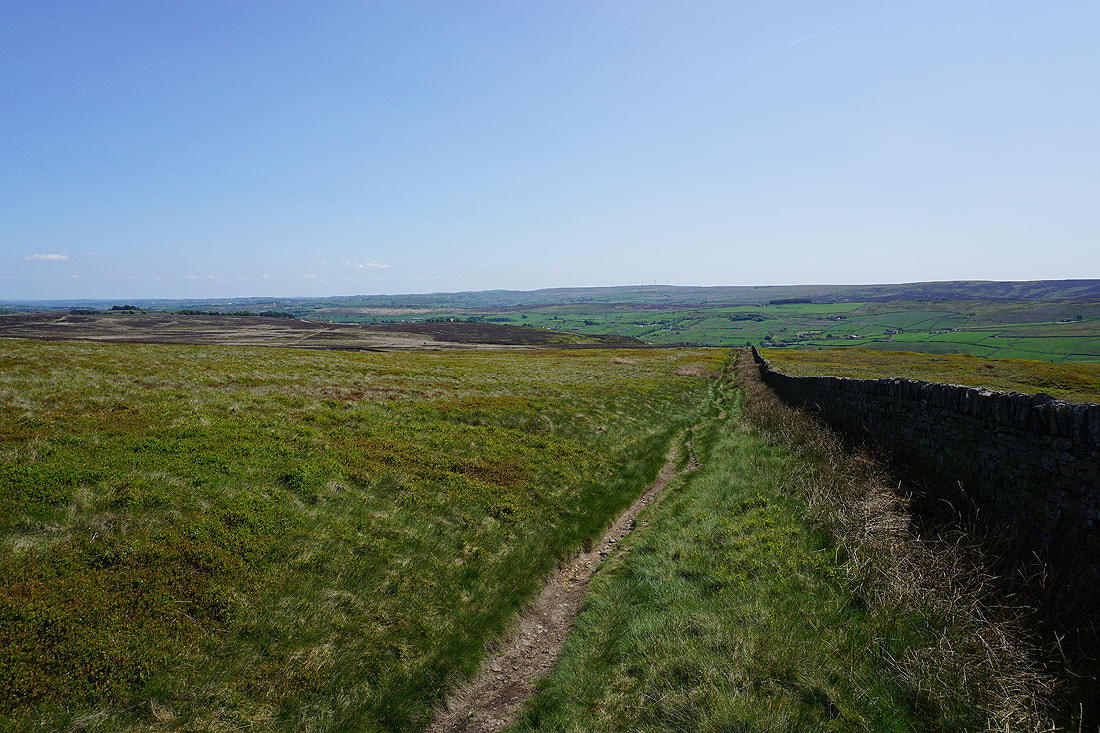
Leaving the Hitching Stone I follow a clear trod east next to this wall
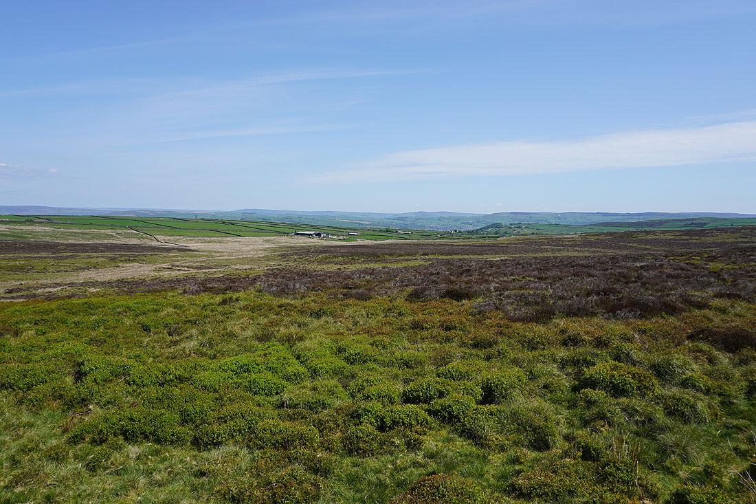
A broken wall, and the moorland colours of the area between Hitching Stone Hill and Kid Stone Hill provide some interest for a photo
After a break for lunch the end of the wall I pick up the public footpath to the "Shooting Box"
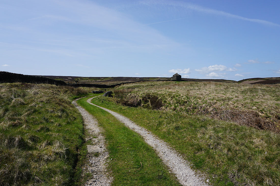
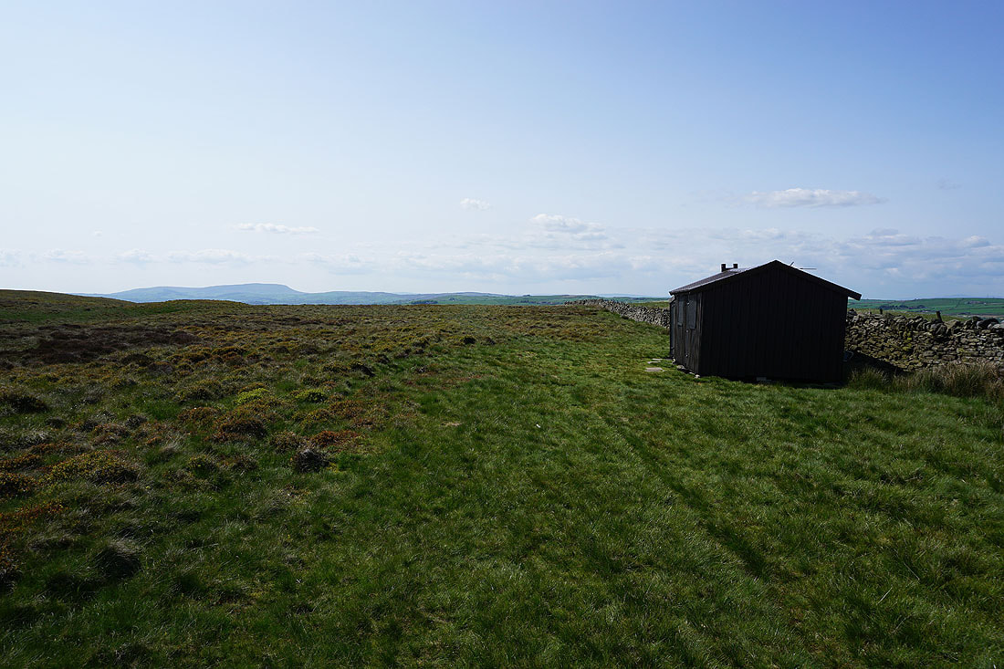
From the shooting box I take towards Slippery Ford Lane
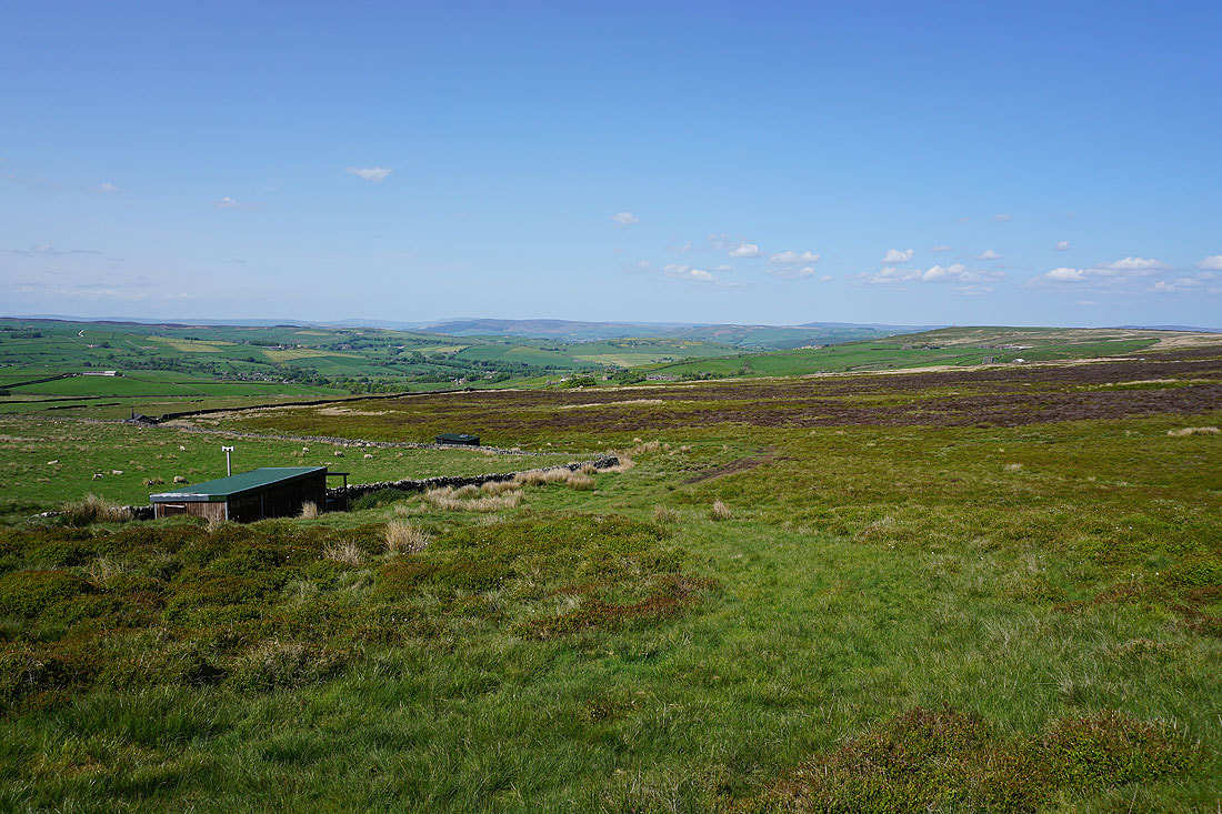
Looking back to the shooting box
Heading down to Slippery Ford Lane
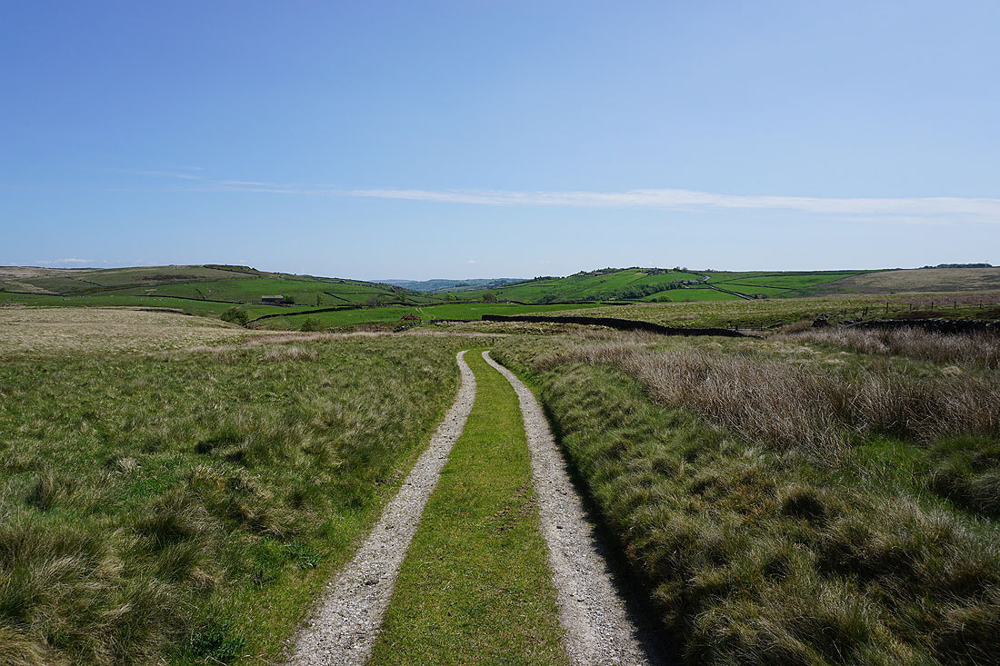
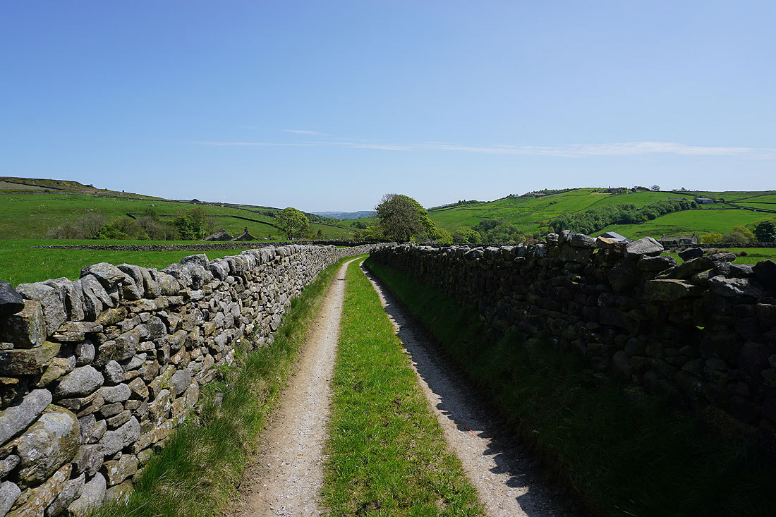
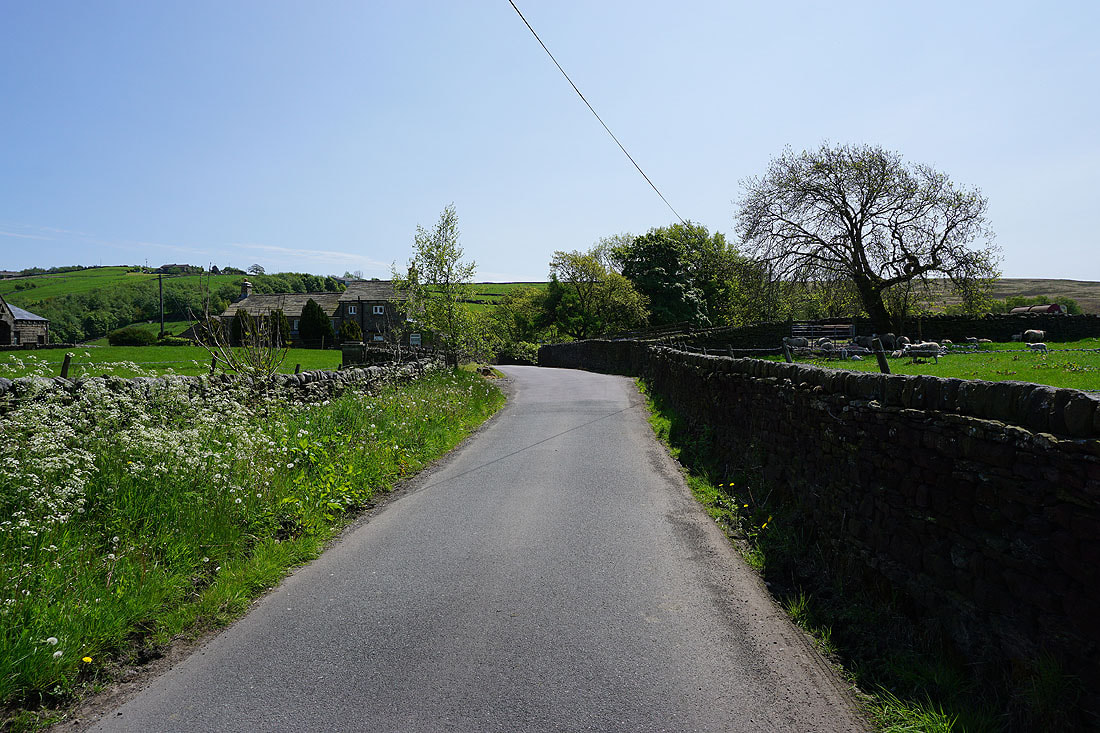
Walking along Slippery Ford Lane past Slitheroford Farm and down to Morkin Bridge
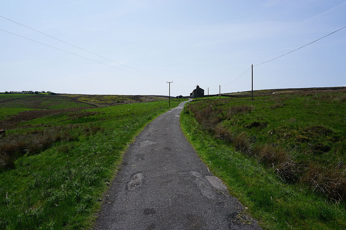
From Morkin Bridge I walk up the access road to Keighley Moor Reservoir
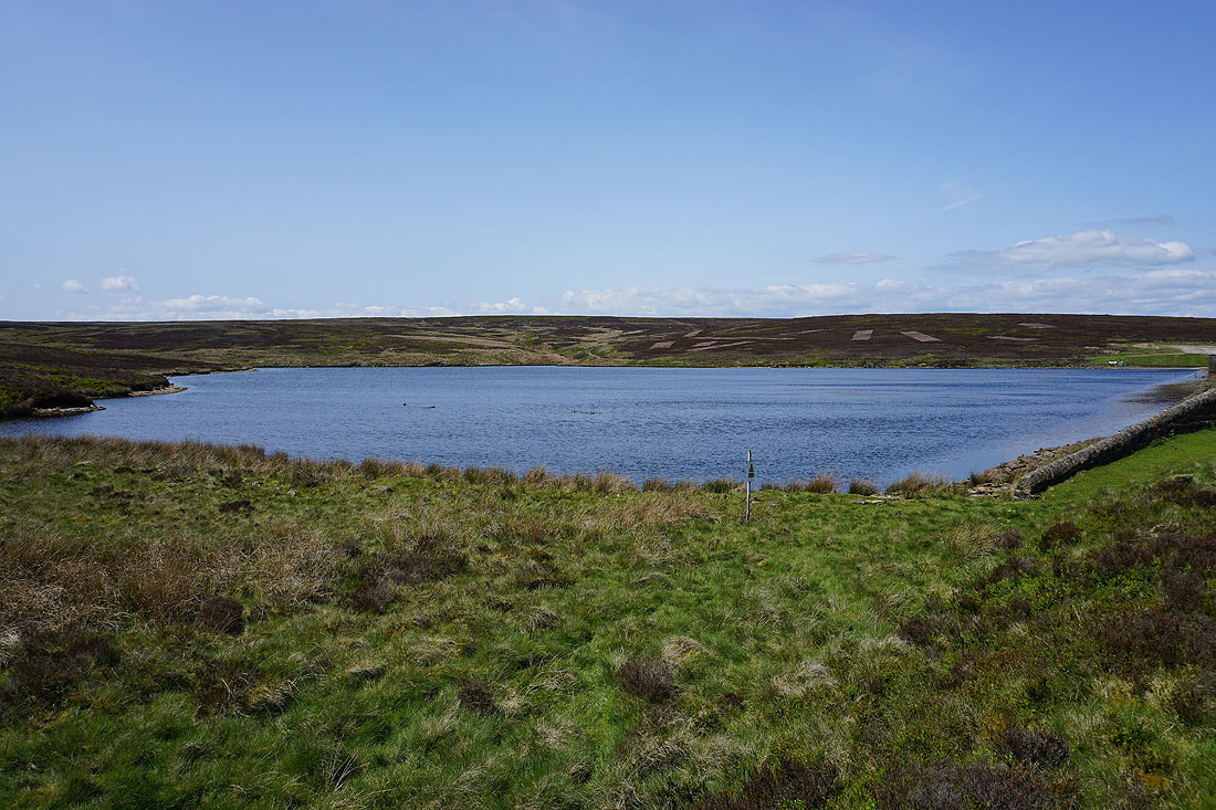
By Keighley Moor Reservoir
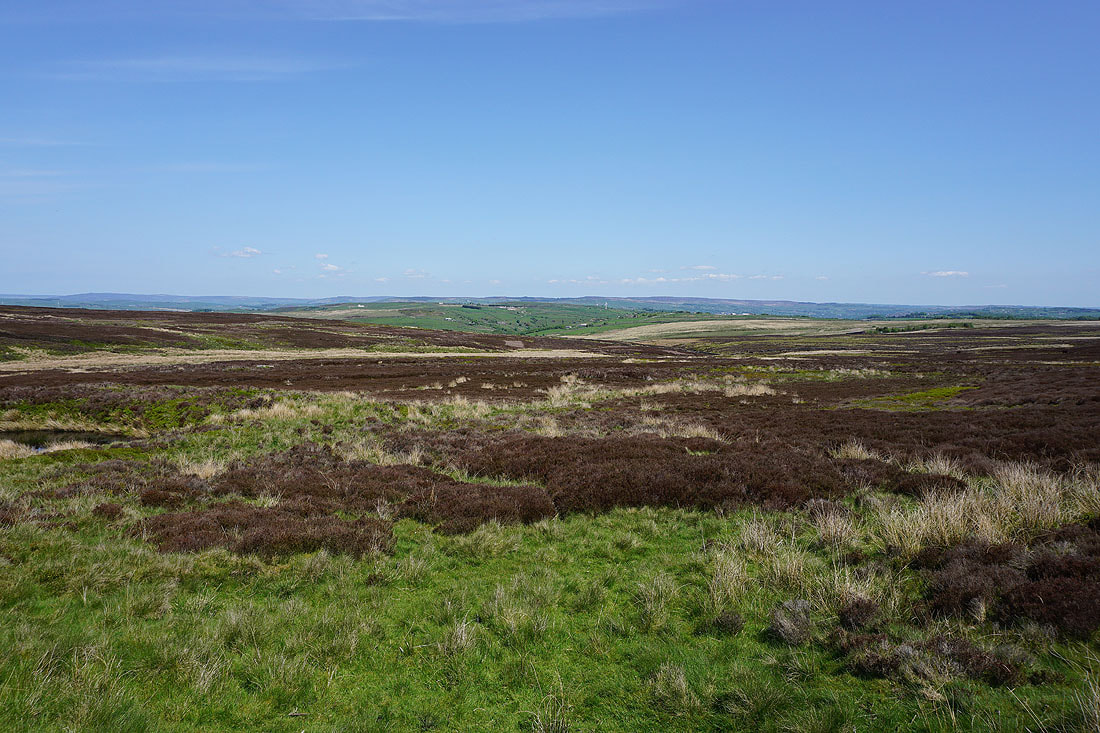
Looking east to Newsholme Dean and the moorland around Airedale
Heading up Oakworth Moor to join the Pennine Way
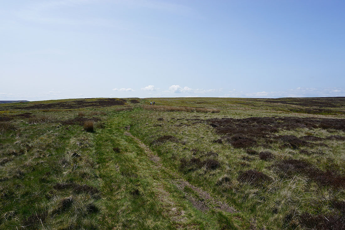
Looking east across Oakworth Moor
The Worth Valley below as I join the Pennine Way
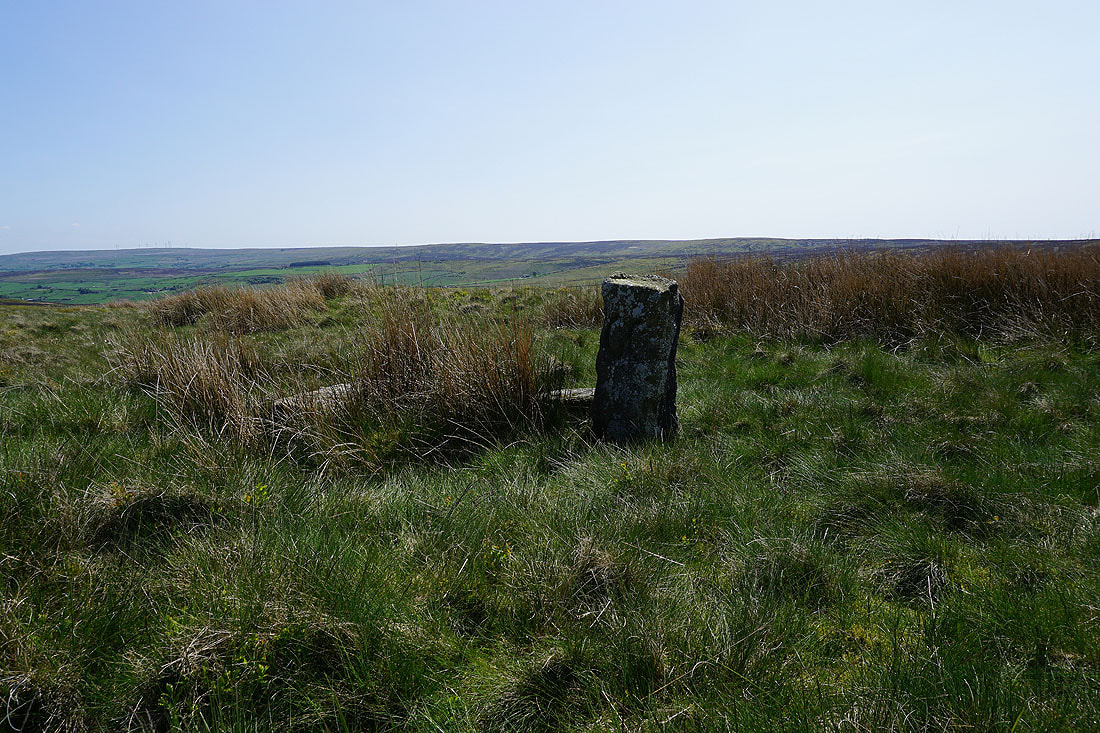
The stone of "Old Bess"
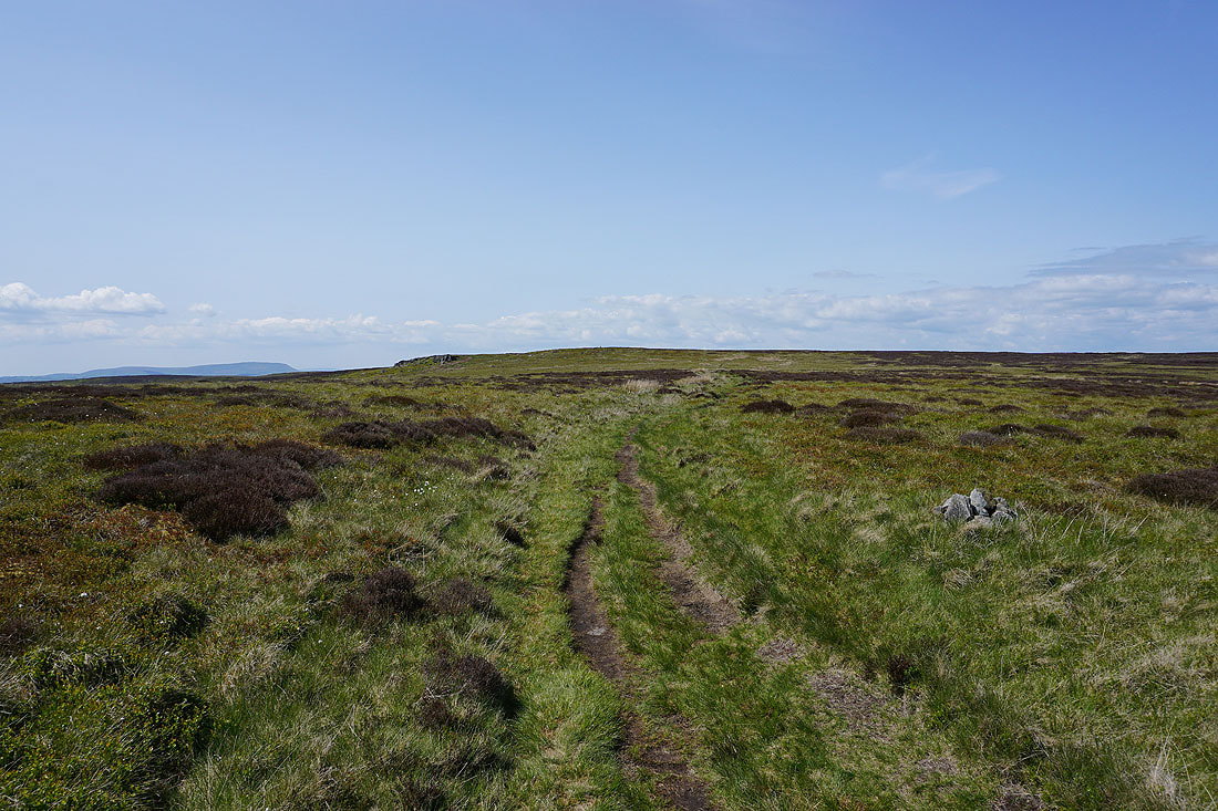
As I follow the Pennine Way to the northwest Wolf Stones comes into view
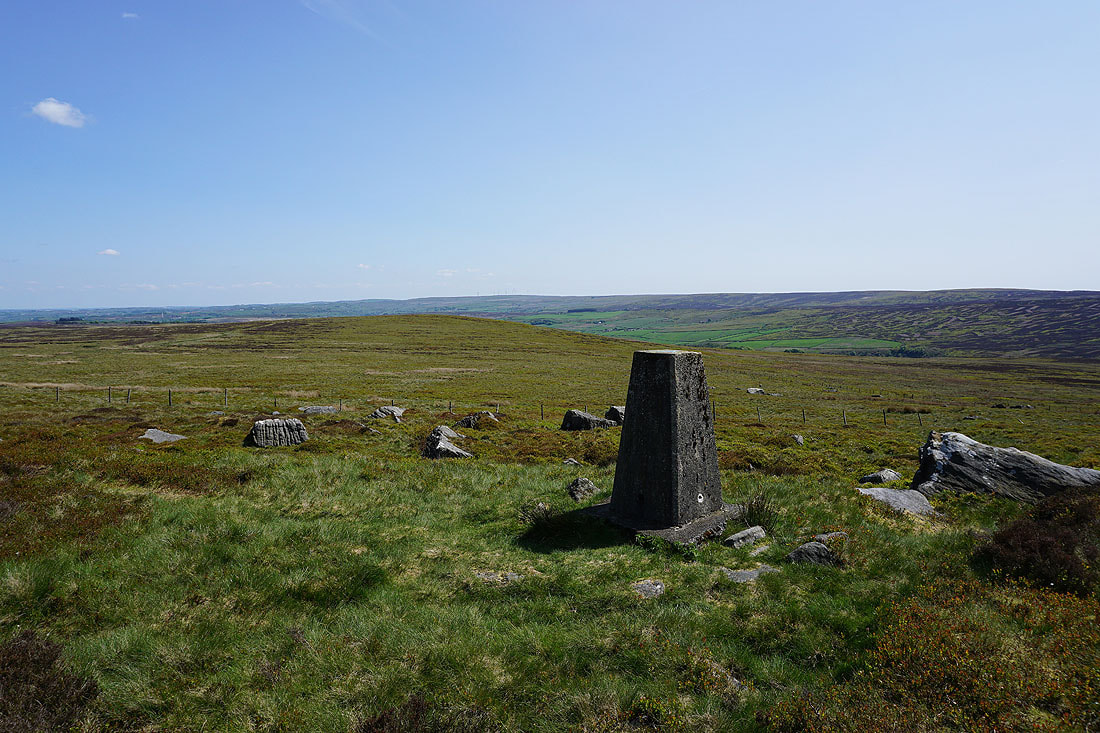
Watersheddles Reservoir and Boulsworth Hill from the trig point on Wolf Stones
Looking across the Worth Valley to Nab Hill in the distance
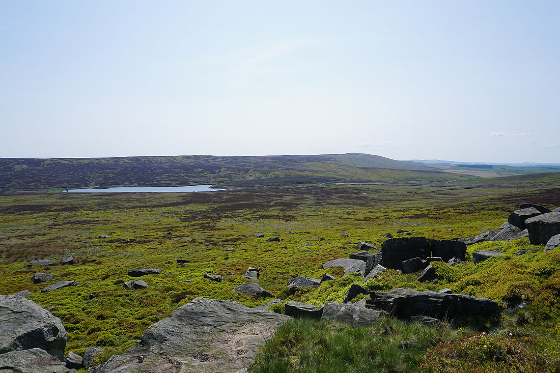
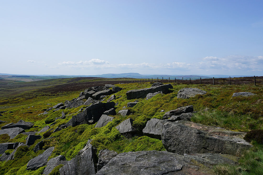
From the trig point I've made my way down to the gritstone edge of Wolf Stones. Watersheddles Reservoir and Boulsworth Hill to the southwest.
Pendle Hill in the distance beyond Combe Hill
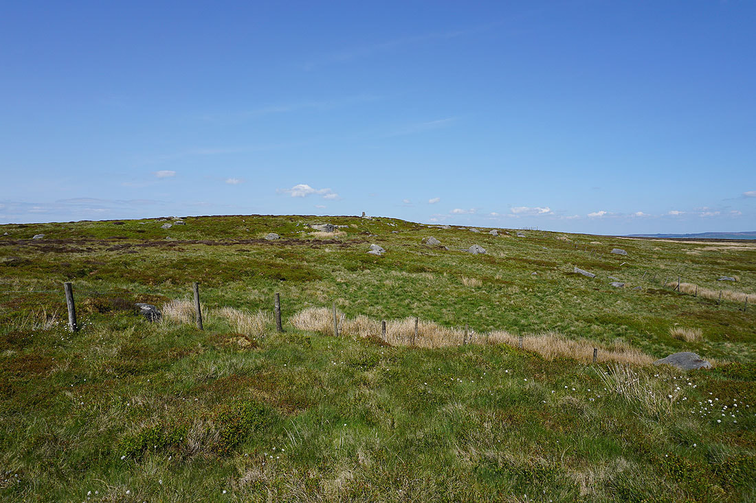
Looking back up to the trig point
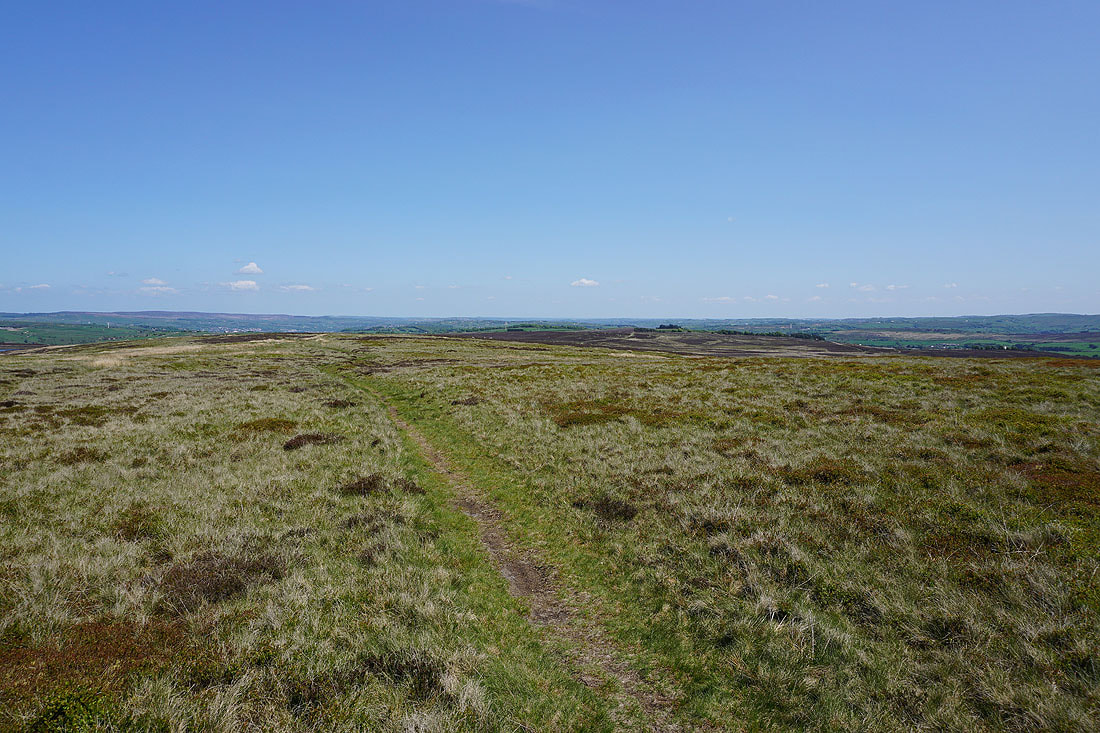
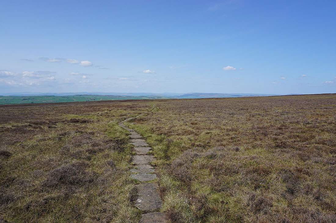
Back onto the Pennine Way and heading north across Ickornshaw Moor
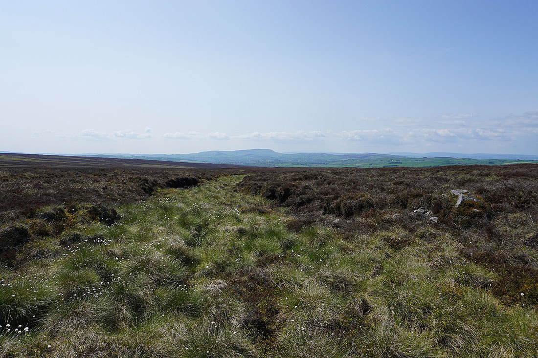
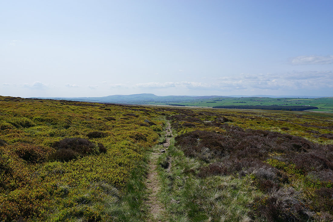
As I follow the Pennine Way I have great views to Pendle Hill, the moors around Lothersdale, and to Barden Moor and Skipton Moor....
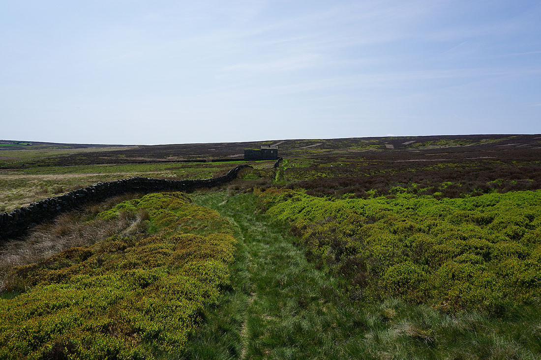
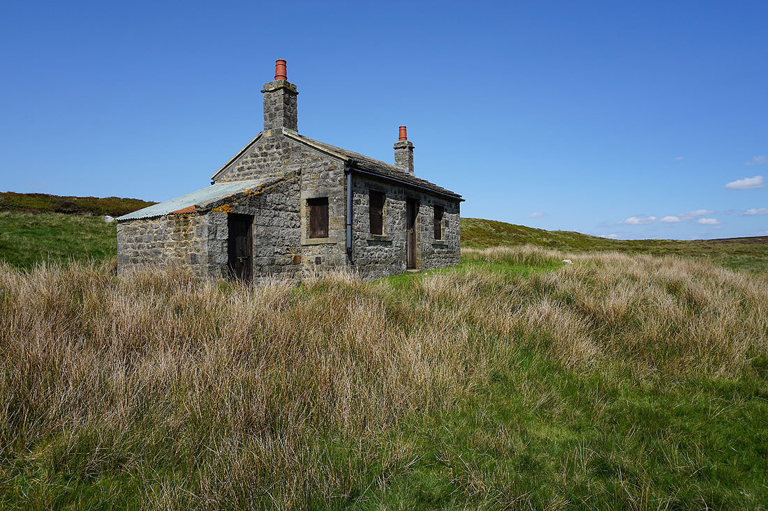
Lower down and I pass a number of shooting huts on the edge of access land...
The Pennine Way heads down to and around the valley of Dean Brow Beck, which looks great on a beautiful spring afternoon...
Heading down to Lower Summer House Farm..
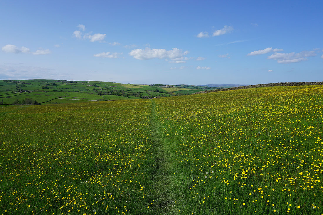
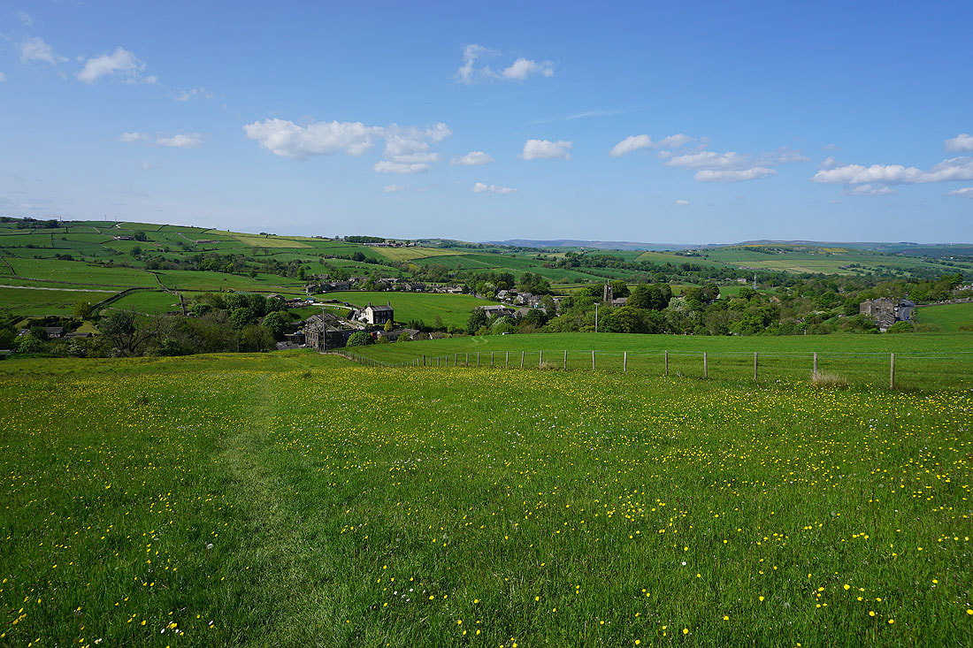
Walking through buttercup filled fields down to Ickornshaw..
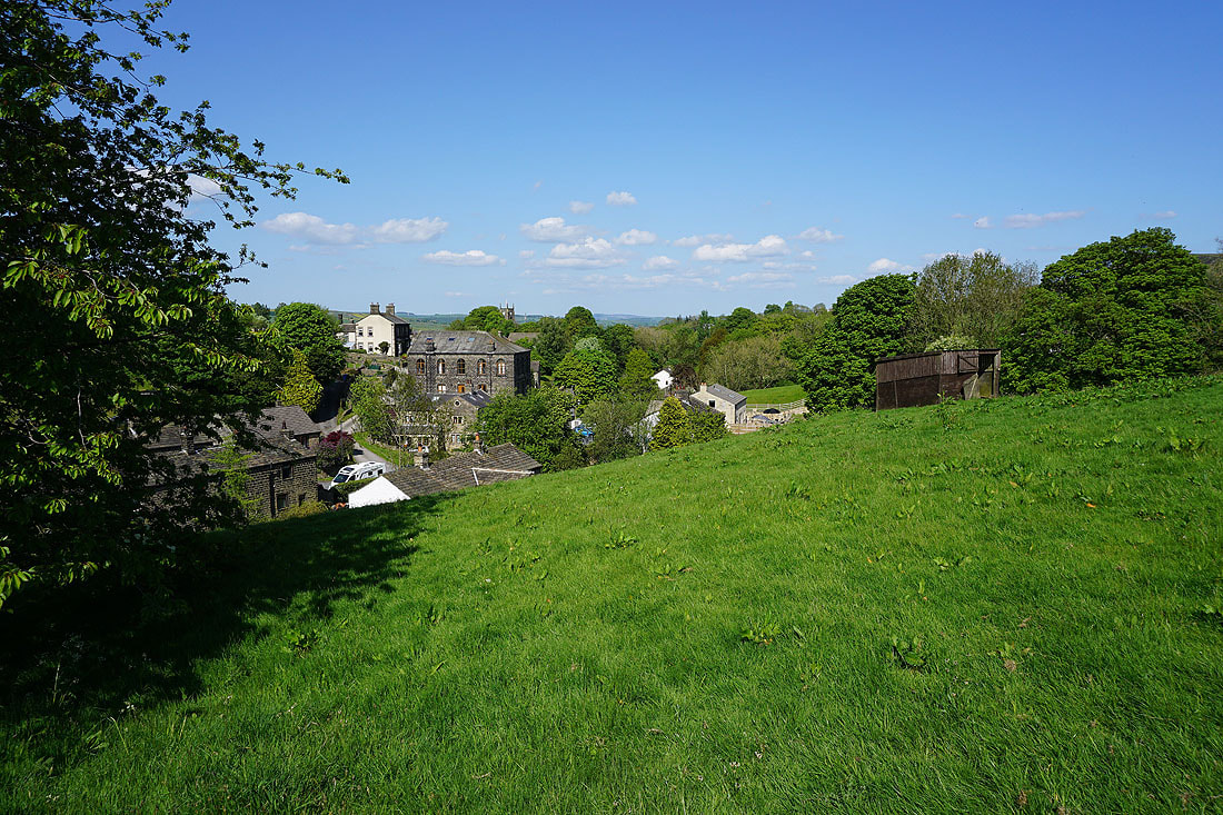
Back in Ickornshaw
