21st October 2012 - Capplestone Gate
Walk Details
Distance walked: 9.1 miles
Total ascent: 1814 ft
OS map used: OL2 - Yorkshire Dales, Southern & Western areas
Time taken: 6.5 hrs
Route description: Conistone-Conistone Dib-Bycliffe Road-Conistone Turf Road-Capplestone Gate-Kettlewell-Dales Way-Conistone Dib-Conistone
A fantastic autumn day for this walk in Wharfedale. There was next to no wind and it felt warm enough to go without a fleece.
I parked next to Conistone Bridge, just outside the hamlet to start this walk. The first thing I did was tackle the ravine of Conistone Dib. Once at the top I used the track of Bycliffe Road and the footpath of Conistone Turf Road to reach the trig point on Capplestone Gate. From Capplestone Gate I made my way down to Kettlewell with the return to Conistone done using the Dales Way.
Route map
© Crown copyright. All rights reserved. License number PU 100034184.
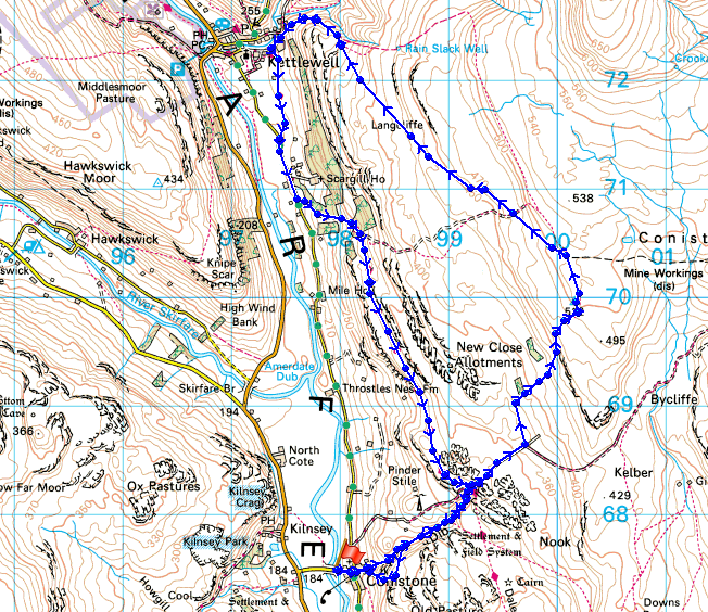
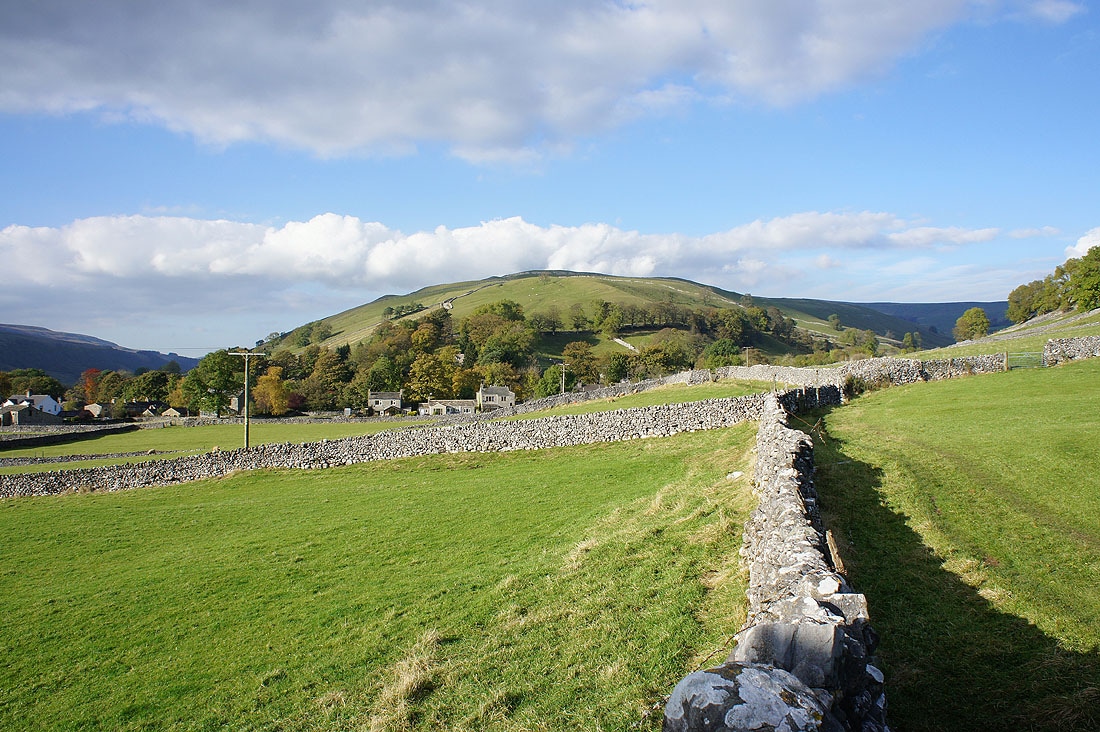
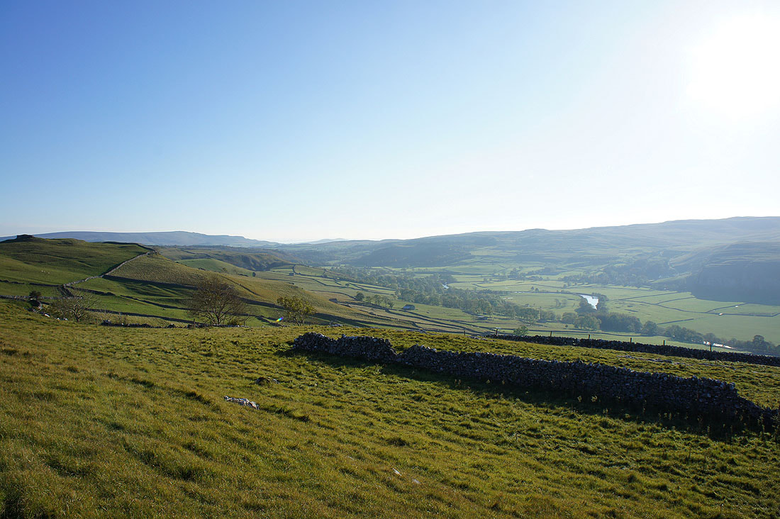
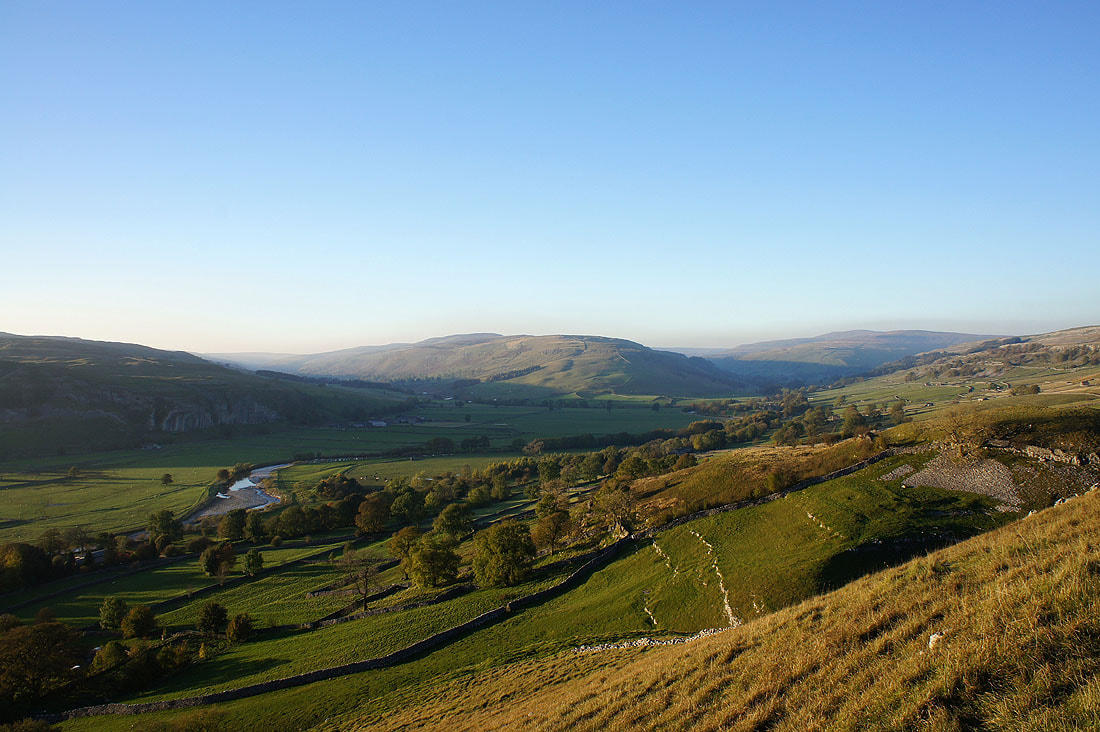
At the start of the walk just outside Conistone and I have a view across Wharfedale to Kilnsey Crag
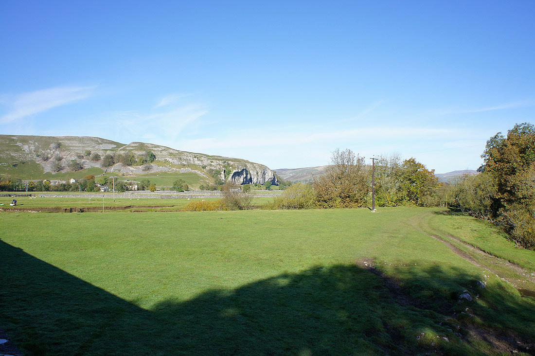
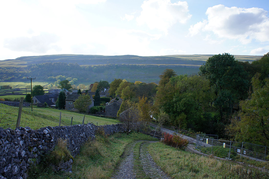
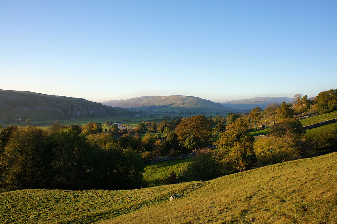
The hamlet of Conistone, which I've just walked through on route to Conistone Dib
|
|
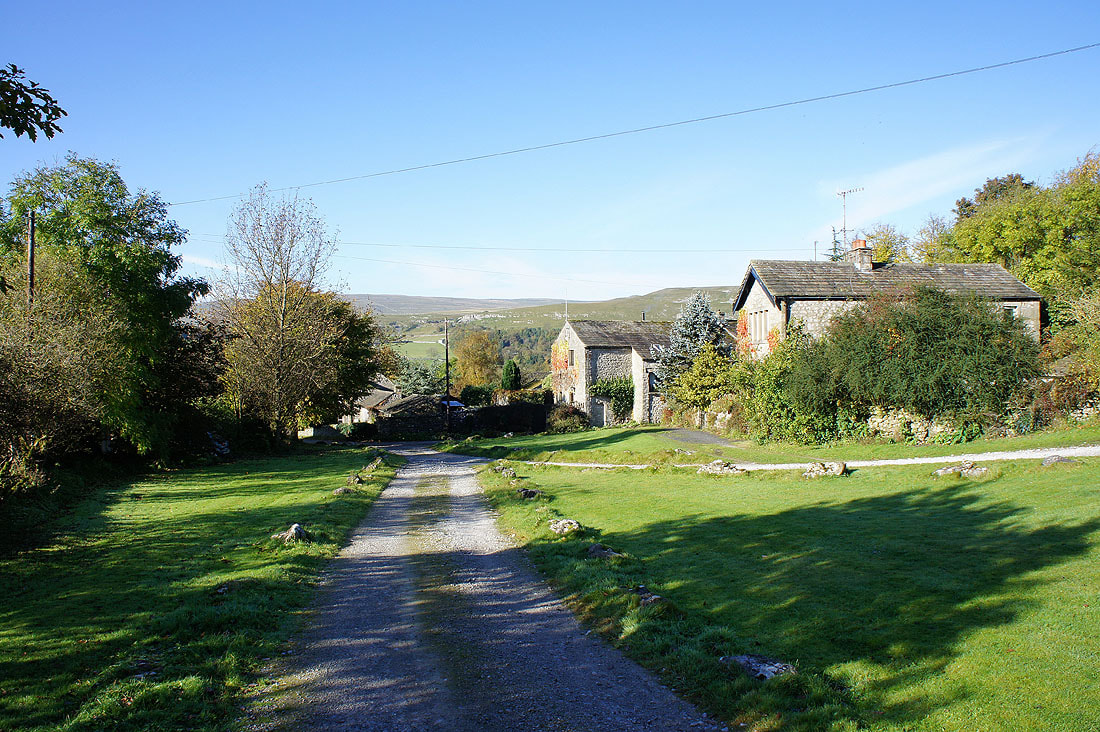
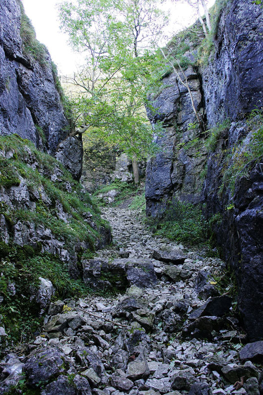
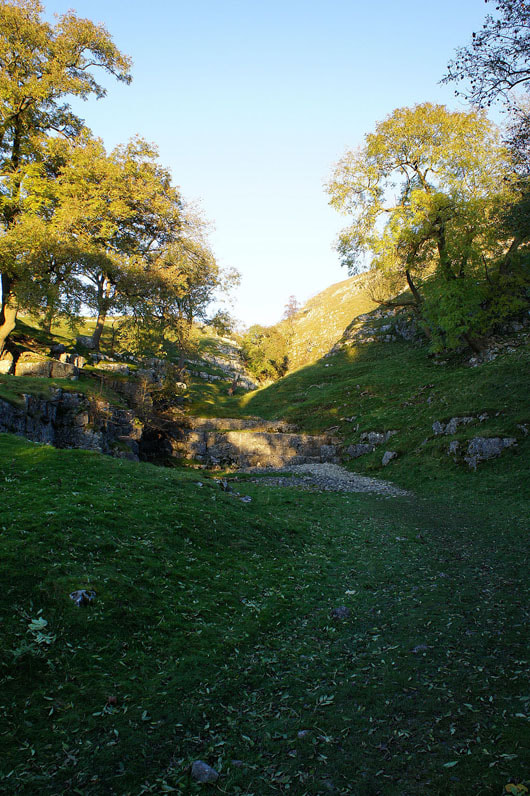
The limestone cliffs at the start of Conistone Dib. A cold, dark place this morning.
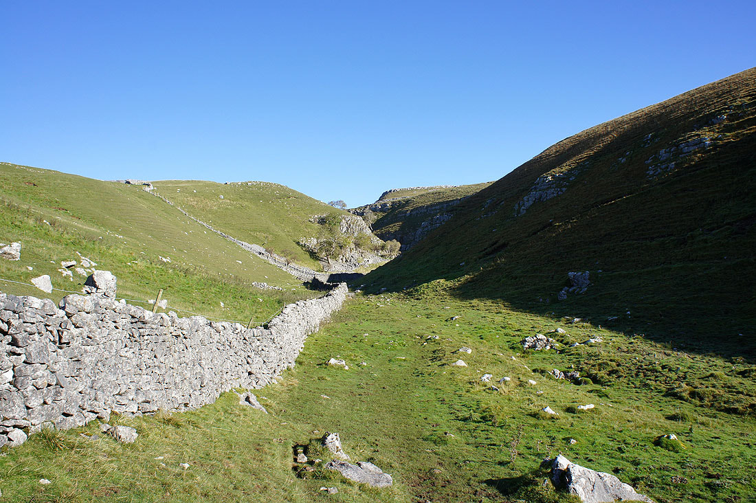
Back out into the sunshine with the last section ahead. The walls close in again for the last climb to the top.
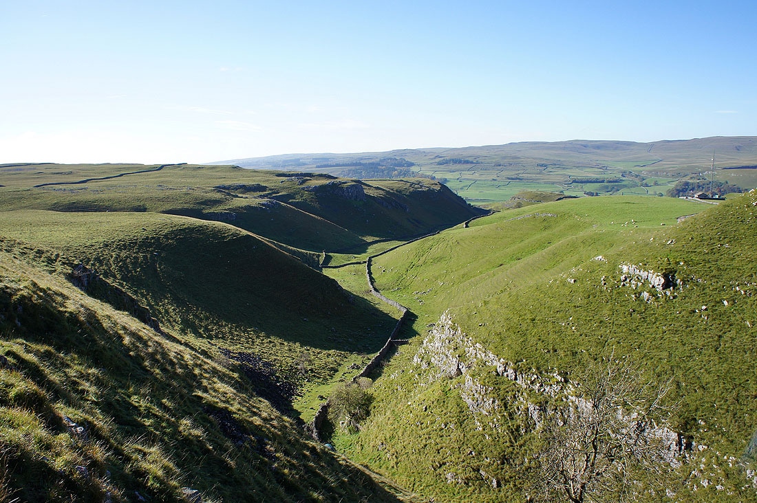
Finally at the top of the Dib looking back down
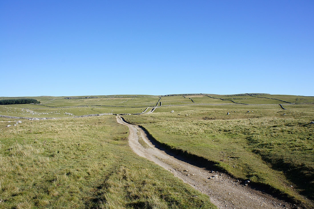
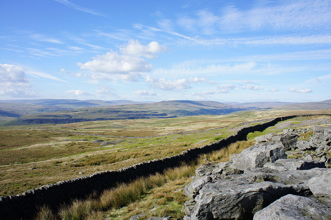
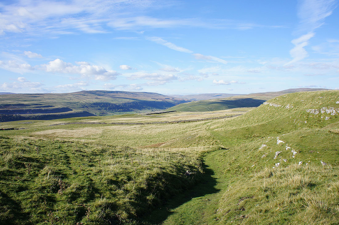
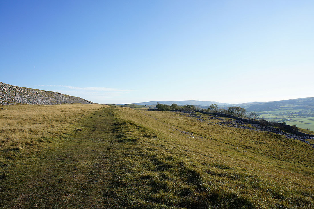
On the track of Bycliffe Road as it heads uphill across the open moor
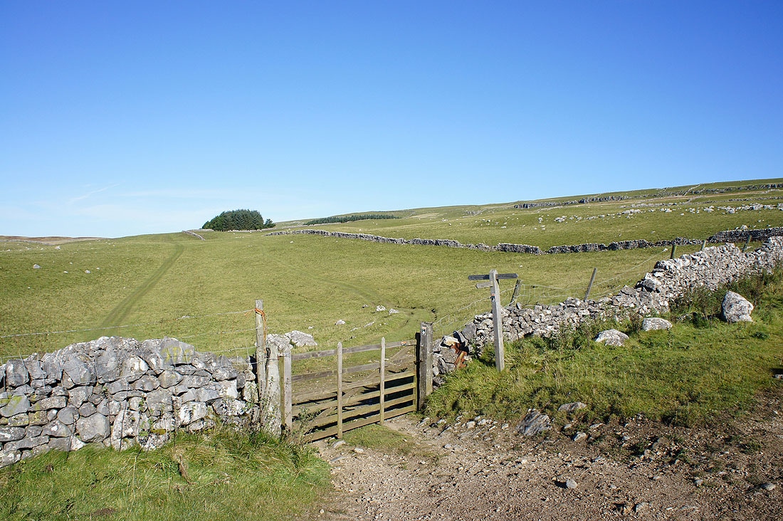
I wasn't on the track for long though. Here there's a choice of paths to take. Through the gate is the Conistone Turf Road, which is the path I'll be taking. It makes for that group of trees and then goes uphill. Bycliffe Road continues in the other direction and would eventually take you over to Nidderdale.
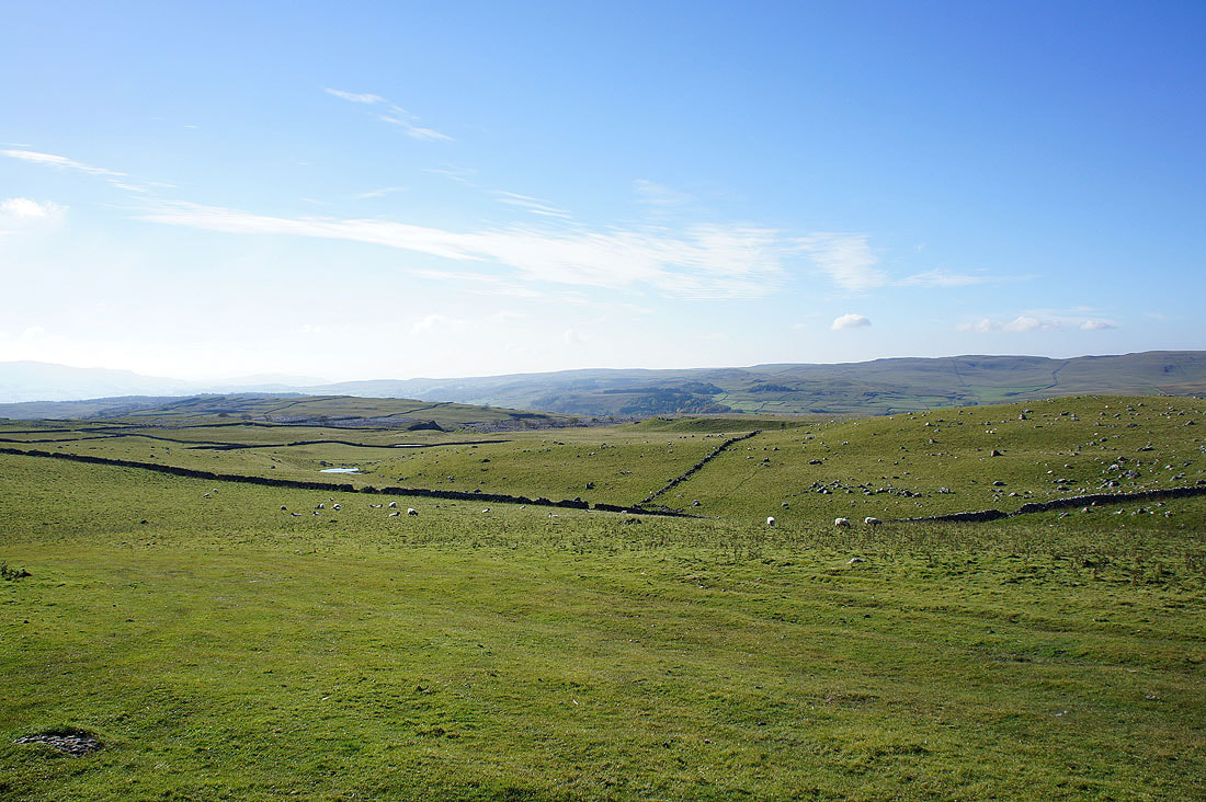
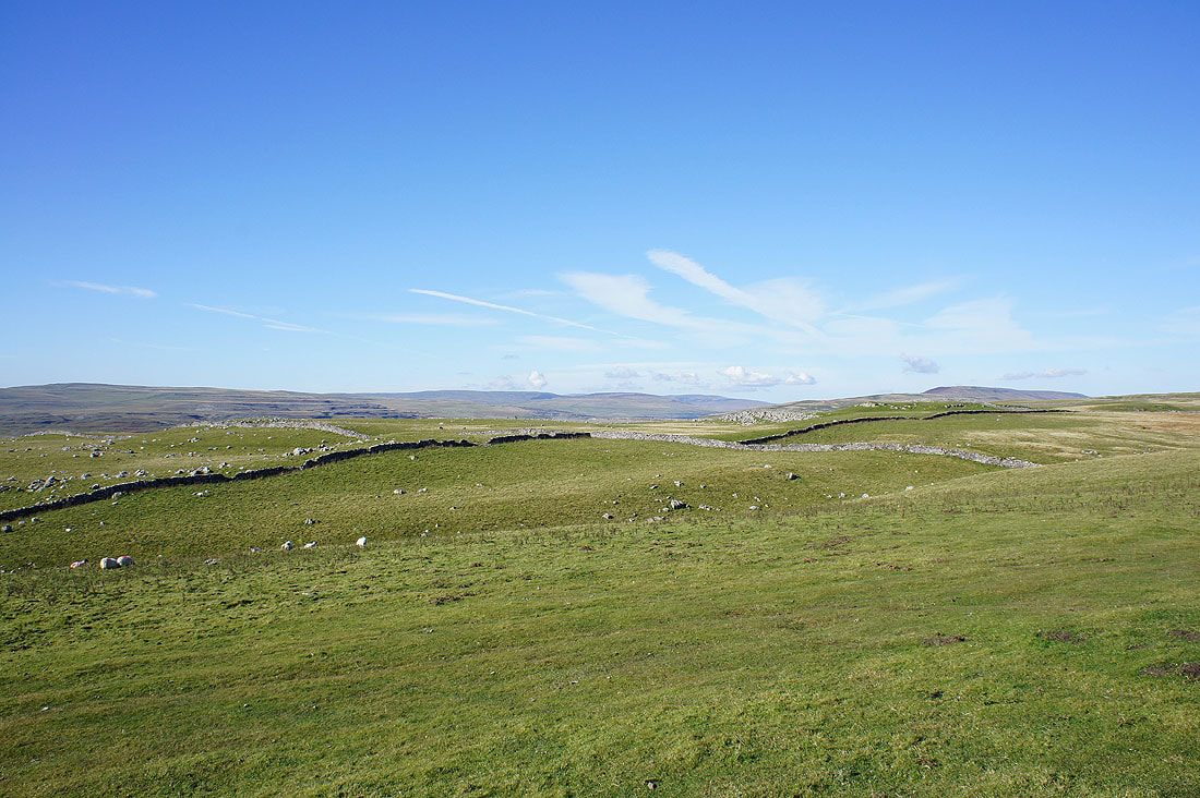
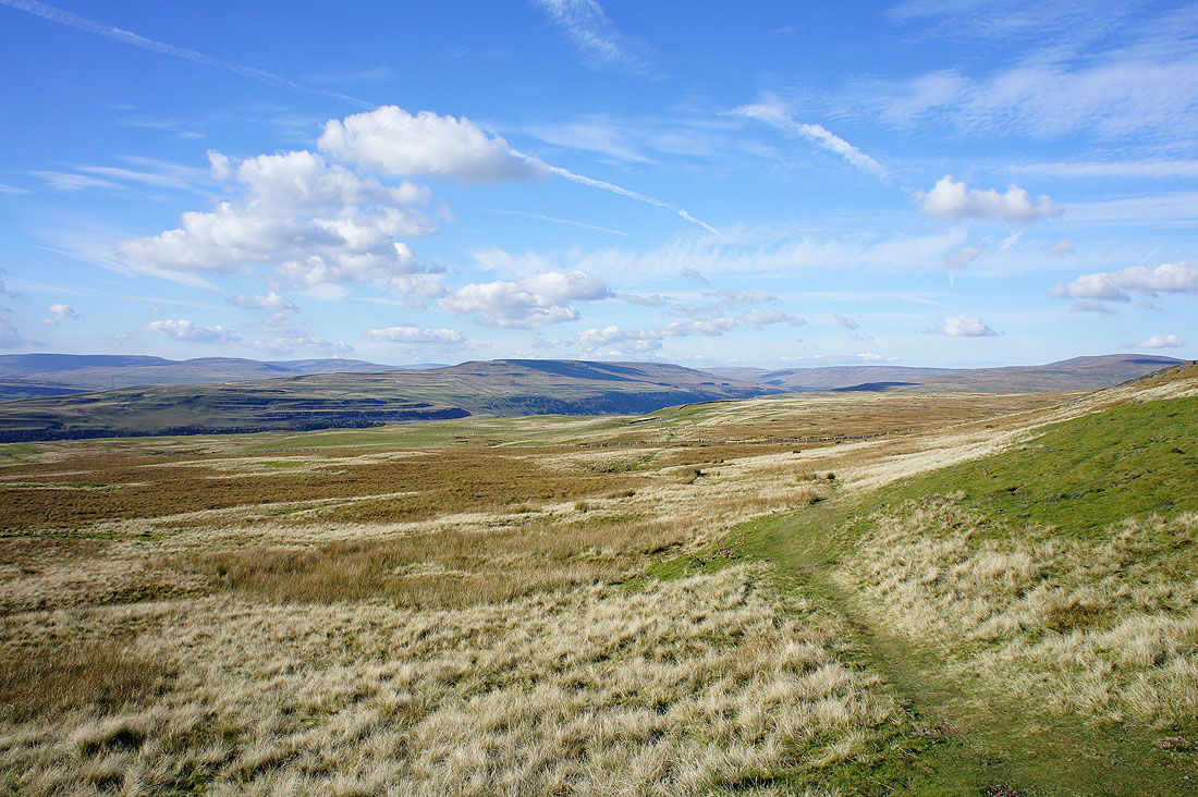
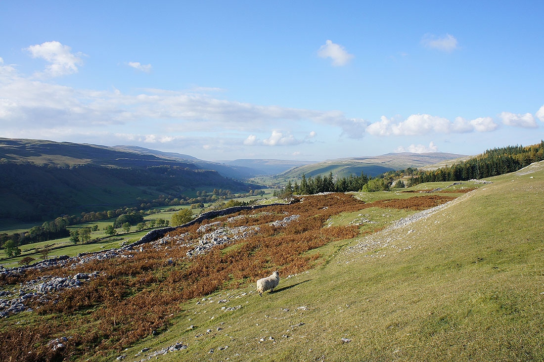
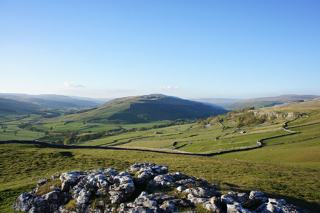
Views across Wharfedale from the Conistone Turf Road..
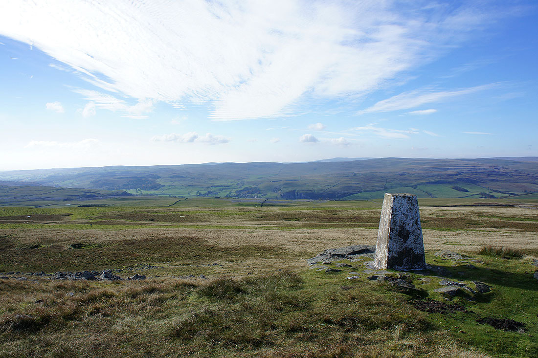
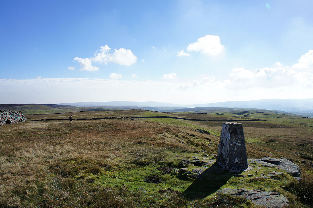
At the high point of the walk, Capplestone Gate and time for lunch. The view here is across Wharfedale to Kilnsey Moor.
Burnsall Fell in the distance
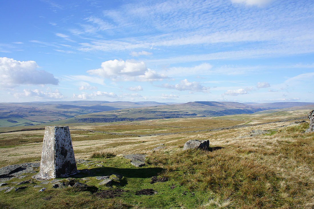
The view up Wharfedale. Fountains Fell is the highest hill on the left. Birks Fell is on the right and separates the valleys of Littondale and Wharfedale.
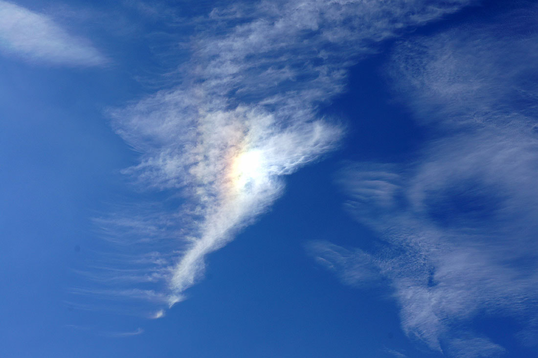
Some interesting clouds in the sky today...

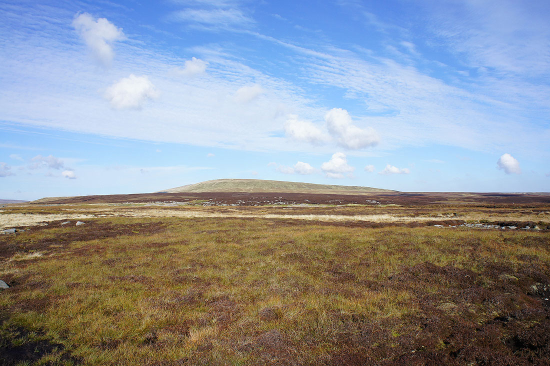
Boggy ground rises to the summit of Great Whernside
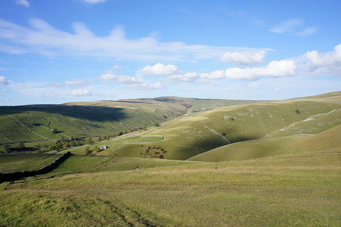
Another view across Wharfedale. The path I'm following is now going to start heading downhill to Kettlewell.
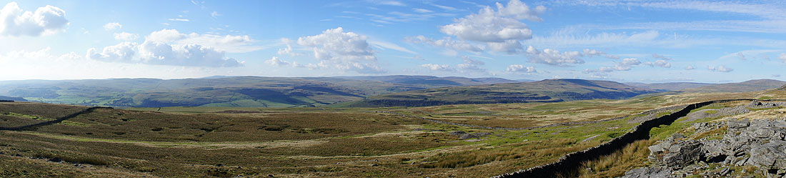
A Wharfedale panorama
Heading down to Kettlewell..
Buckden Pike comes into view
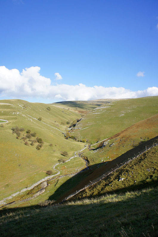
Dowber Gill Beck makes its way up the slopes of Great Whernside
The last drop down into Kettlewell
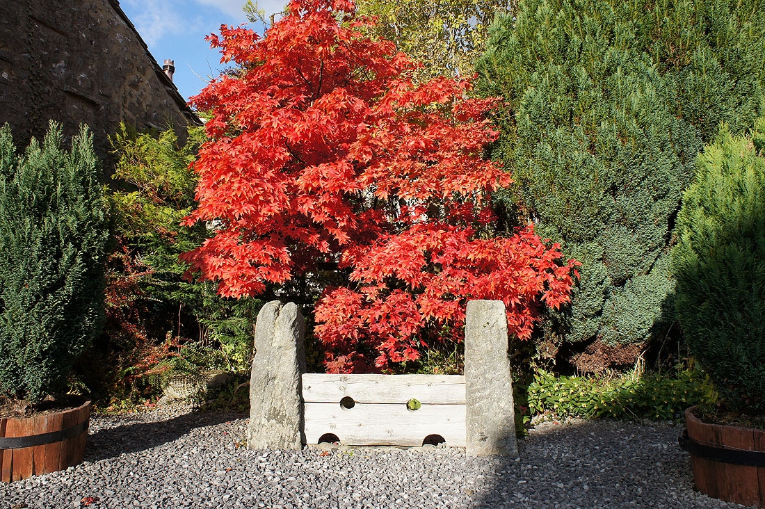
After partaking of an ice-cream at the cafe in Kettlewell I'm heading back to Conistone on the Dales Way. Walking through the village I passed these stocks with a Japanese maple tree providing some fantastic colour.
A look back at Kettlewell beneath Cam Pasture
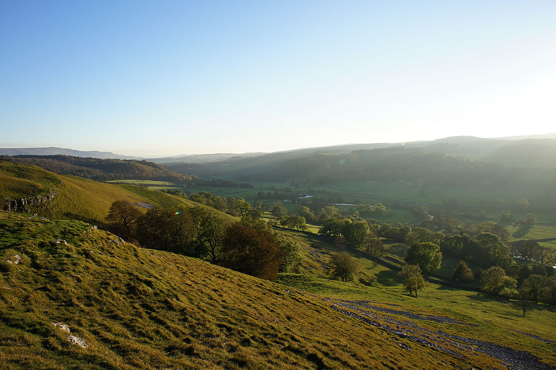
I had to keep turning round to see this view back up Wharfedale
On the Dales Way. The stretch from Kettlewell to Grassington is a joy to tread, great views in limestone country.
The Wharfe in the valley below
The limestone outcrop of Conistone Pie is a great viewpoint for Littondale on the left and Wharfedale on the right with Birks Fell separating the two valleys. I'll soon be leaving the Dales Way to head back down to Conistone through Conistone Dib but with a detour en route.
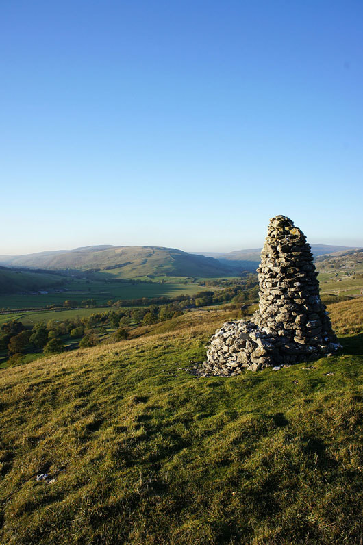
This handsome cairn on the hillside of Davy Dimple above Conistone can be seen when you walk through the hamlet. I had to pay it a visit on the way back.
The Wharfe below Conistone
and Wharfedale above Conistone to where it divides into Littondale and the upper valley. Kilnsey Crag is in shadow on the left.
Heading down into Conistone
Back at the entrance to Conistone Dib
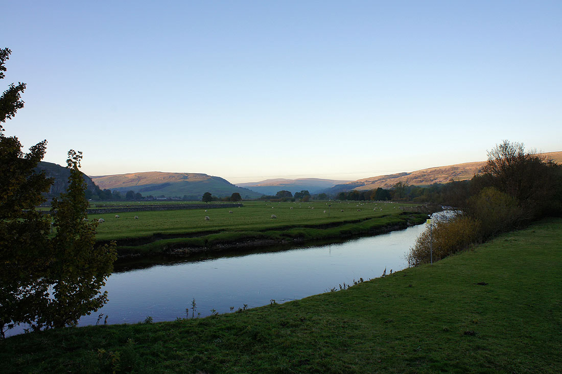
and finally by the Wharfe at Conistone Bridge