21st October 2023 - Around Kelbrook Moor
Walk Details
Distance walked: 7.9 miles
Total ascent: 1234 ft
OS map used: OL21 - South Pennines
Time taken: 3.5 hrs
Route description: Foulridge-Skipton Old Road-Waterloo Road-Main Street-Kelbrook-Harden Road-Heads Lane-Pennine Bridleway-Kitchen Farm-Pennine Bridleway-Burnt Hill-Pennine Bridleway-Warley Wise Lane-Black Lane Ends-Piked Edge-Harwes Farm-Great Edge-Cob Lane-Noyna Hill-Noyna Road-Foulridge
I couldn't resist having a walk from home this afternoon, which usually means heading for Weets Hill. For a change I went up onto the moors to the east of where I live, still very familiar as a result of the many walks from home done during COVID-19 restrictions. Setting off from home at about 1230 I had some pleasant autumn weather during the afternoon, although the gaps in the clouds tended to fill in and sunshine was at a premium.
From where I live in Foulridge I walked up to and across the A56, then up to and north along Skipton Old Road to Kelbrook, and down Waterloo Road and Main Street. I then turned right onto Harden Road, walked to its end and onto Heads Lane, then up Heads Lane to its end and onto the Pennine Bridleway, which I followed up Harden Clough to Kitchen Farm. I kept on the Pennine Bridleway by taking the track above Kitchen Farm up onto Burnt Hill, then across Burnt Hill and Skipton Old Road, then followed it east and south to Warley Wise Lane. After walking along Warley Wise Lane to Black Lane Ends I took the footpath past Black Lane Ends Tavern up onto Piked Edge, then from Piked Edge across to Harwes Farm. From Harwes Farm I then made my way across to Great Edge and down to Cob Lane, then took the footpath from Noyna End Farm up onto the top of Noyna Hill. After taking in the view from Noyna Hill I followed the footpath down to Noyna Bottom Farm on Noyna Road, which I walked down for a return to Foulridge and home.
Total ascent: 1234 ft
OS map used: OL21 - South Pennines
Time taken: 3.5 hrs
Route description: Foulridge-Skipton Old Road-Waterloo Road-Main Street-Kelbrook-Harden Road-Heads Lane-Pennine Bridleway-Kitchen Farm-Pennine Bridleway-Burnt Hill-Pennine Bridleway-Warley Wise Lane-Black Lane Ends-Piked Edge-Harwes Farm-Great Edge-Cob Lane-Noyna Hill-Noyna Road-Foulridge
I couldn't resist having a walk from home this afternoon, which usually means heading for Weets Hill. For a change I went up onto the moors to the east of where I live, still very familiar as a result of the many walks from home done during COVID-19 restrictions. Setting off from home at about 1230 I had some pleasant autumn weather during the afternoon, although the gaps in the clouds tended to fill in and sunshine was at a premium.
From where I live in Foulridge I walked up to and across the A56, then up to and north along Skipton Old Road to Kelbrook, and down Waterloo Road and Main Street. I then turned right onto Harden Road, walked to its end and onto Heads Lane, then up Heads Lane to its end and onto the Pennine Bridleway, which I followed up Harden Clough to Kitchen Farm. I kept on the Pennine Bridleway by taking the track above Kitchen Farm up onto Burnt Hill, then across Burnt Hill and Skipton Old Road, then followed it east and south to Warley Wise Lane. After walking along Warley Wise Lane to Black Lane Ends I took the footpath past Black Lane Ends Tavern up onto Piked Edge, then from Piked Edge across to Harwes Farm. From Harwes Farm I then made my way across to Great Edge and down to Cob Lane, then took the footpath from Noyna End Farm up onto the top of Noyna Hill. After taking in the view from Noyna Hill I followed the footpath down to Noyna Bottom Farm on Noyna Road, which I walked down for a return to Foulridge and home.
Route map
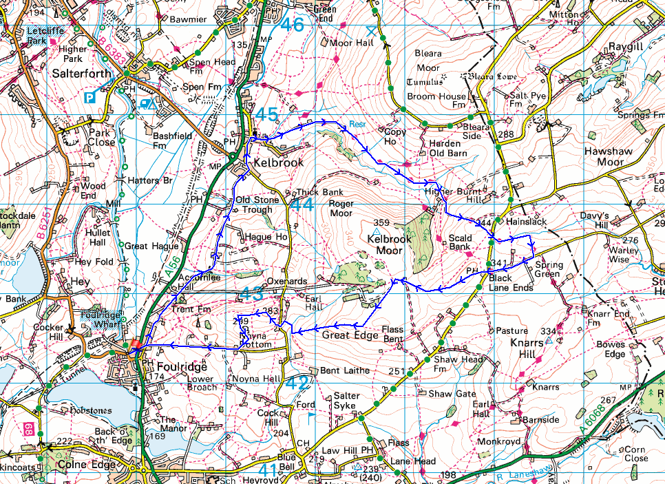
© Crown copyright. All rights reserved. License number PU 100034184.
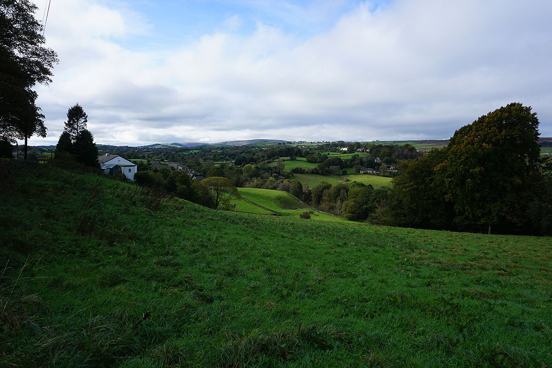
Foulridge from Skipton Old Road

Making my way through the hamlet of Old Stone Trough

From Kelbrook I walk up Heads Lane and onto the Pennine Bridleway..
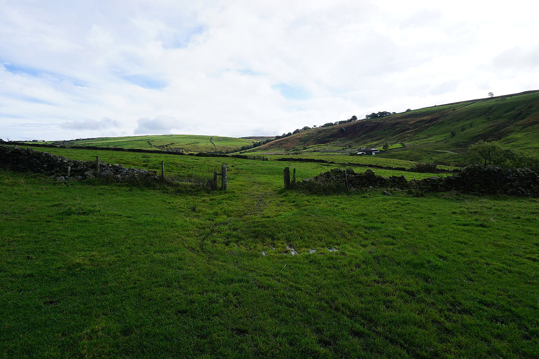
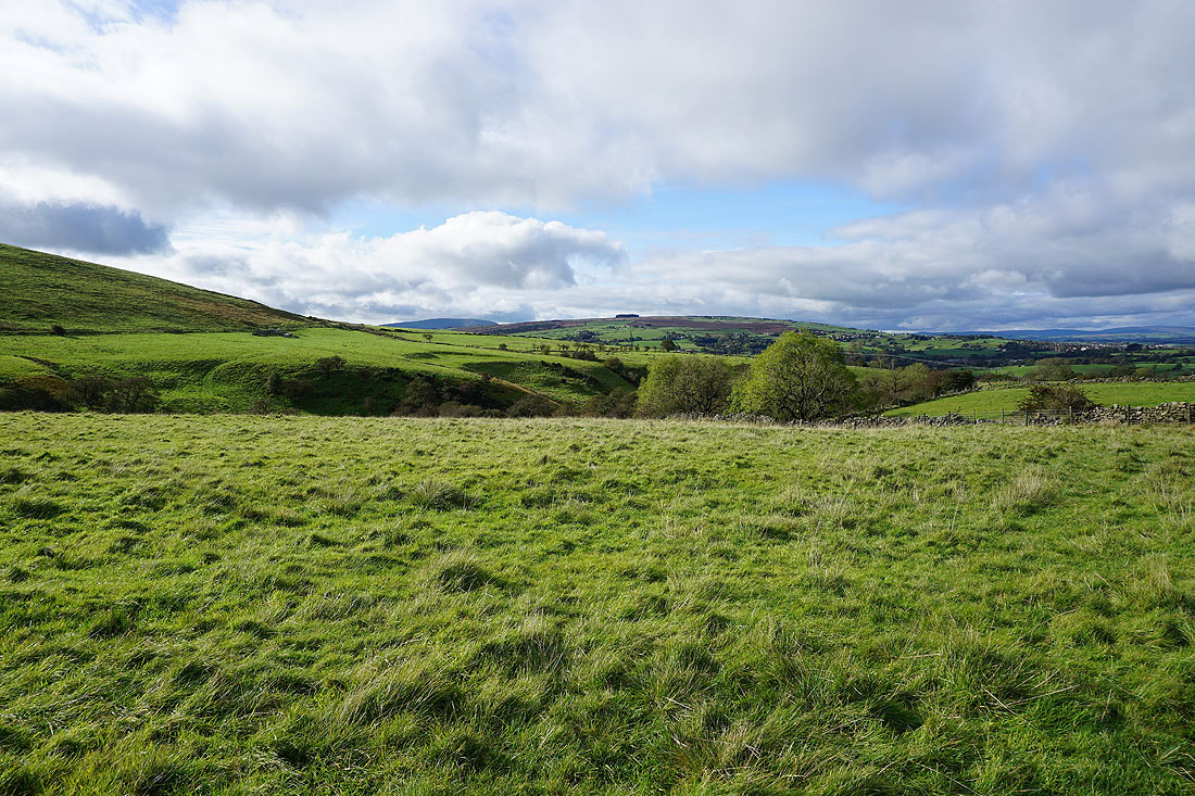
Sunshine on the lower slopes of Kelbrook Moor, with Pendle Hill in the distance beyond White Moor
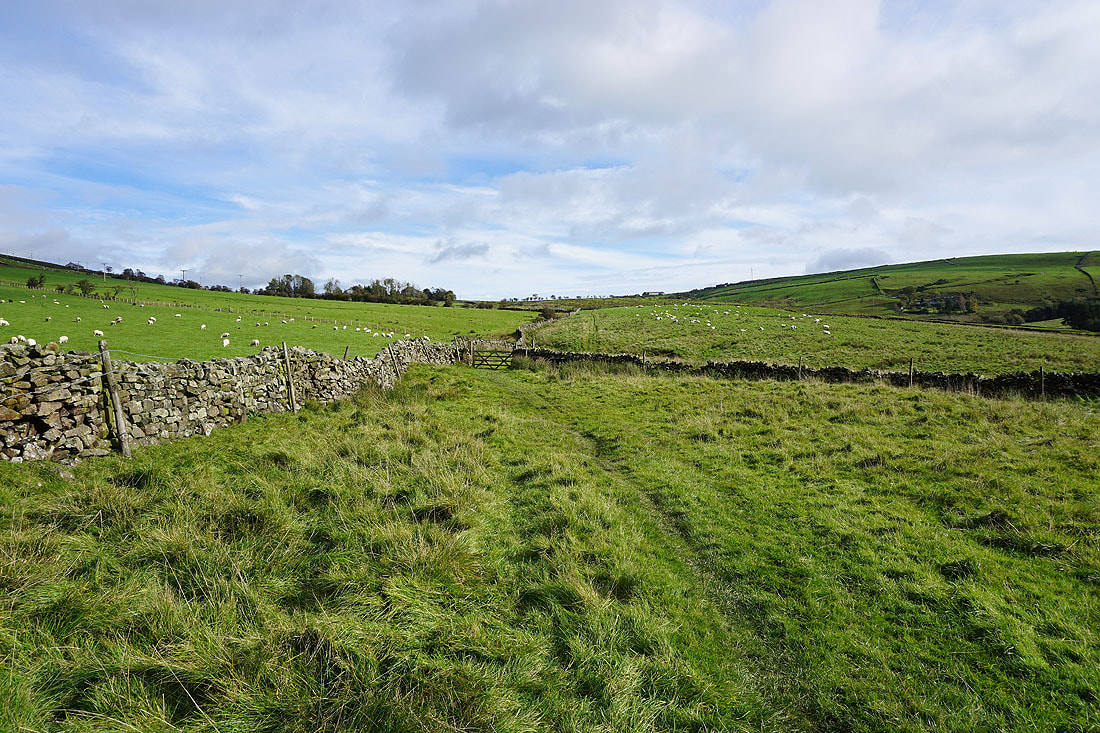
On the Pennine Bridleway up Harden Clough..
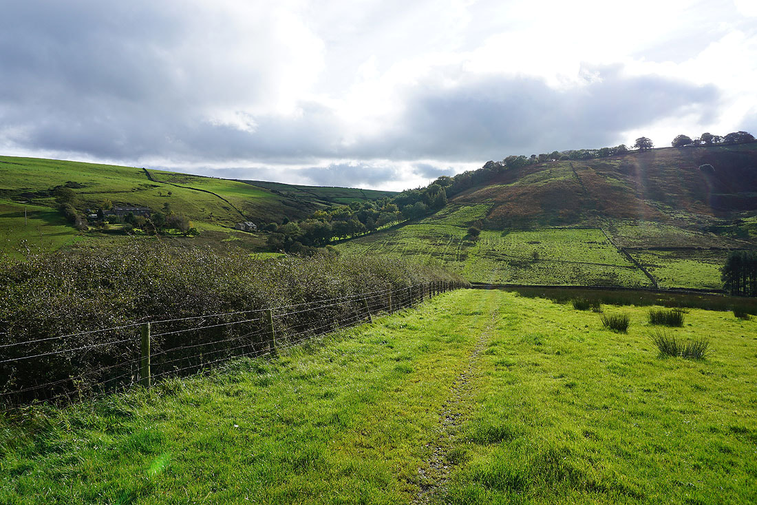
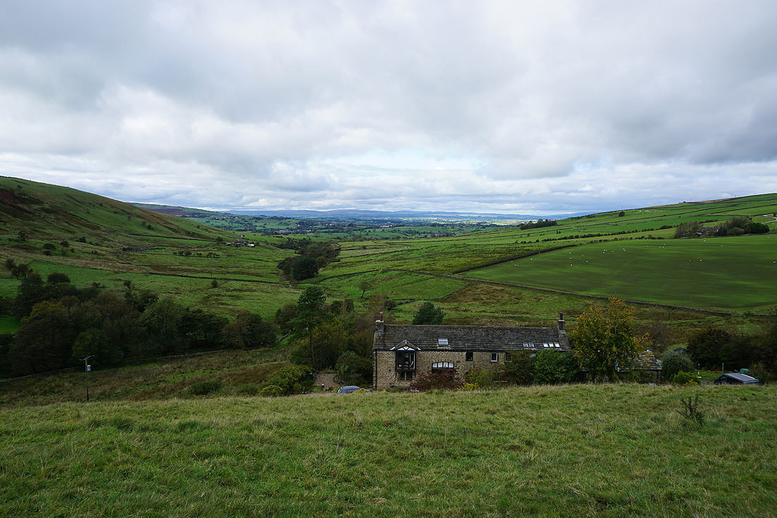
Looking back down Harden Clough from above Kitchen Farm
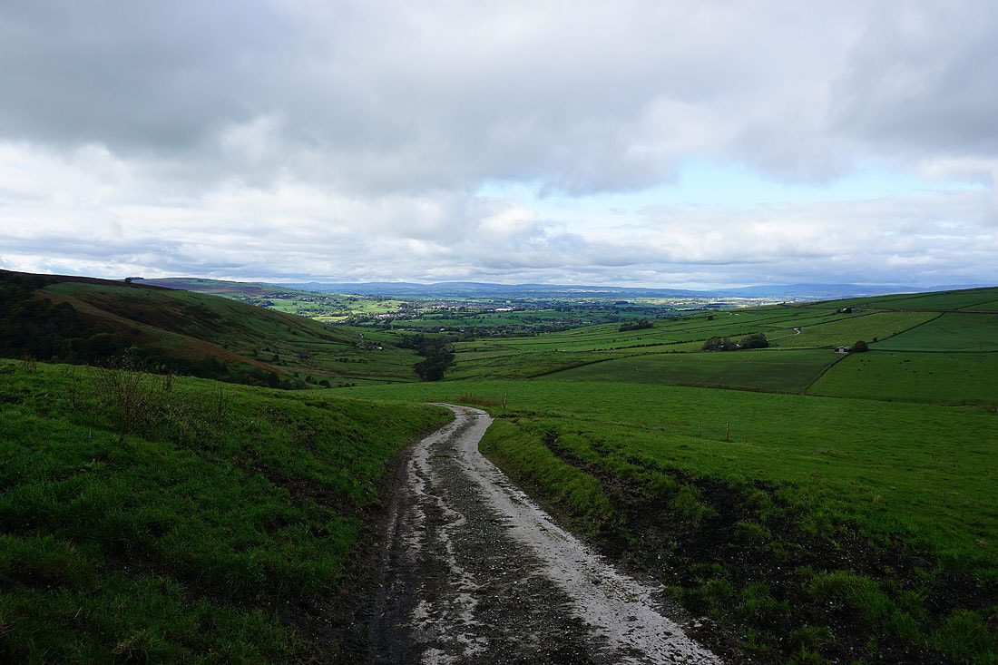
and to the Forest of Bowland in the distance from the Pennine Bridleway up onto Burnt Hill
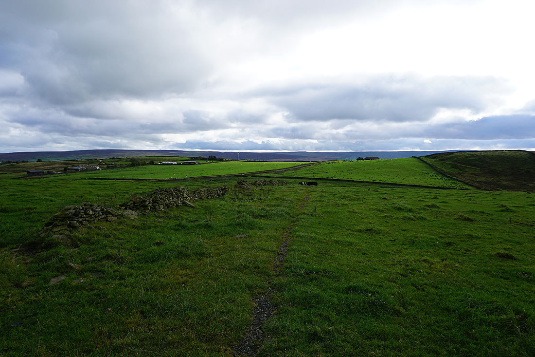
Following the Pennine Bridleway across Burnt Hill
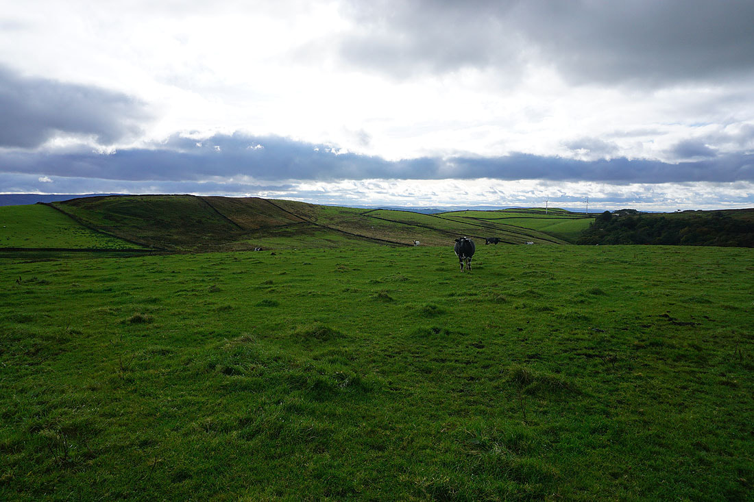
Piked Edge and Great Edge to my right
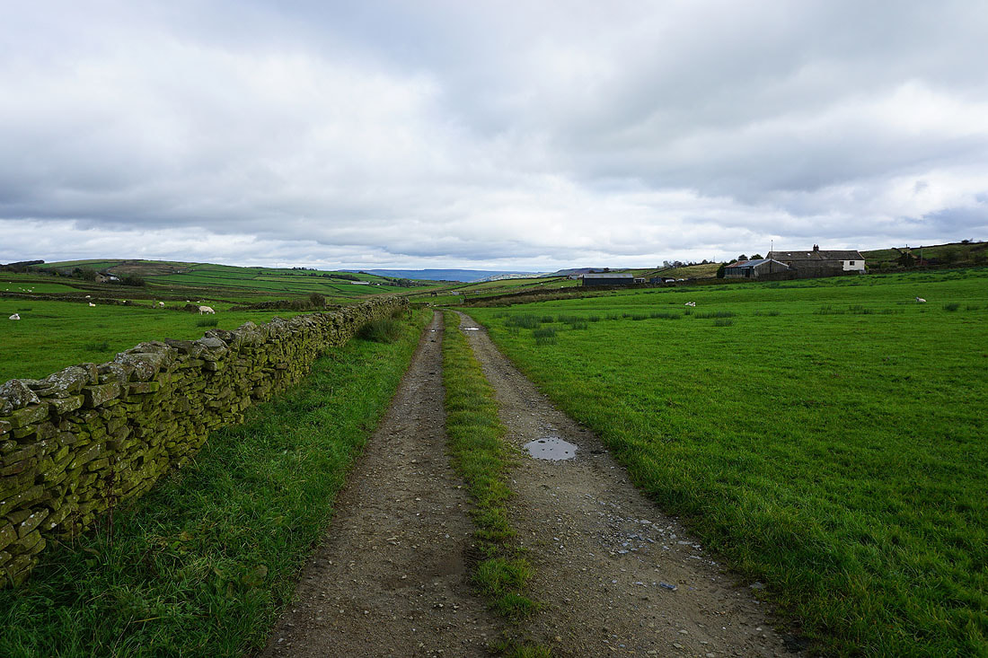
Having crossed Skipton Old Road I follow the Pennine Bridleway east, and then south to Warley Wise Lane
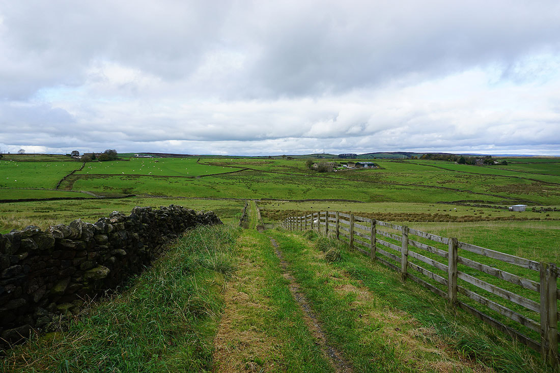
Looking back along the Pennine Bridleway as I reach Warley Wise Lane
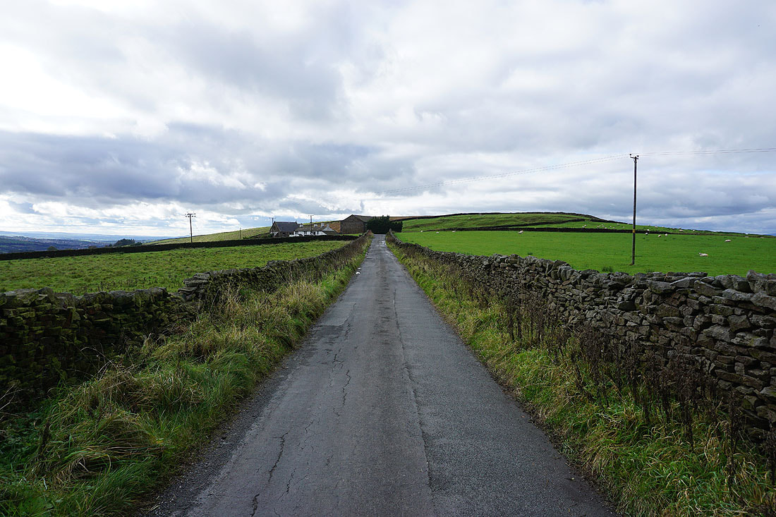
Walking along Warley Wise Lane to Black Lane Ends
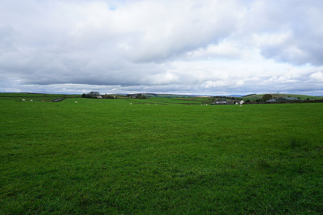
If I look over the wall to my right I have a view across fields to the moorland around the top of Lothersdale
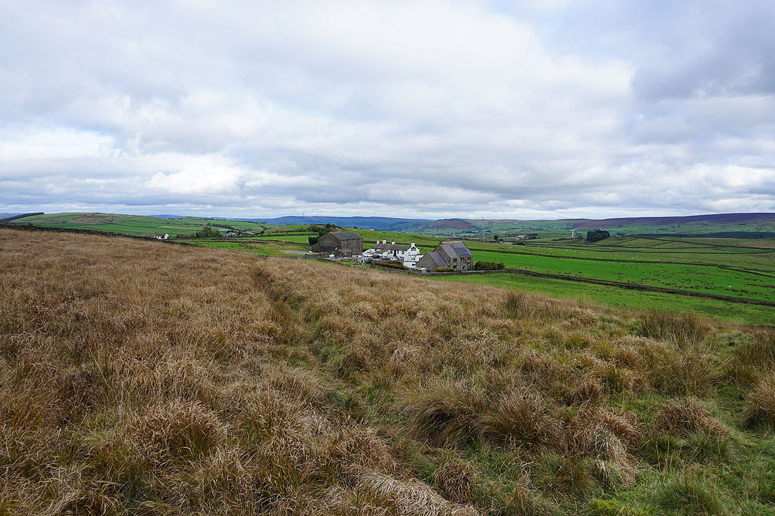
Looking back to Black Lane Ends with Earl Crag and the moors around Airedale in the distance as I head up onto Piked Edge
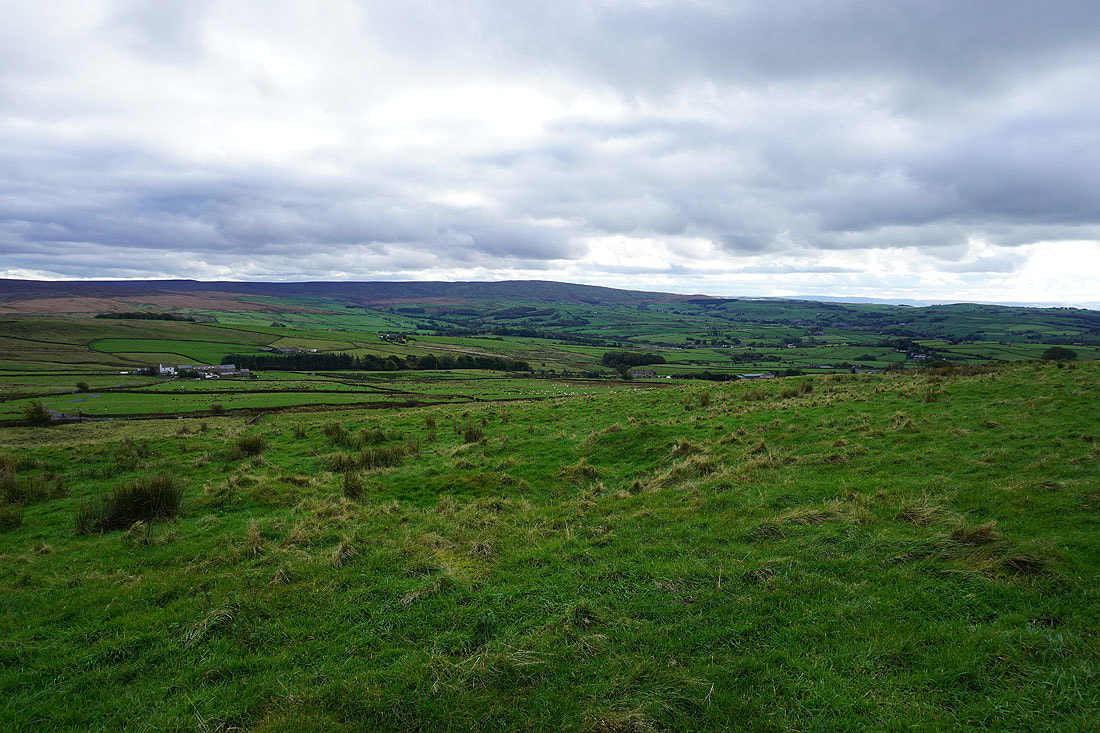
Boulsworth Hill from Piked Edge
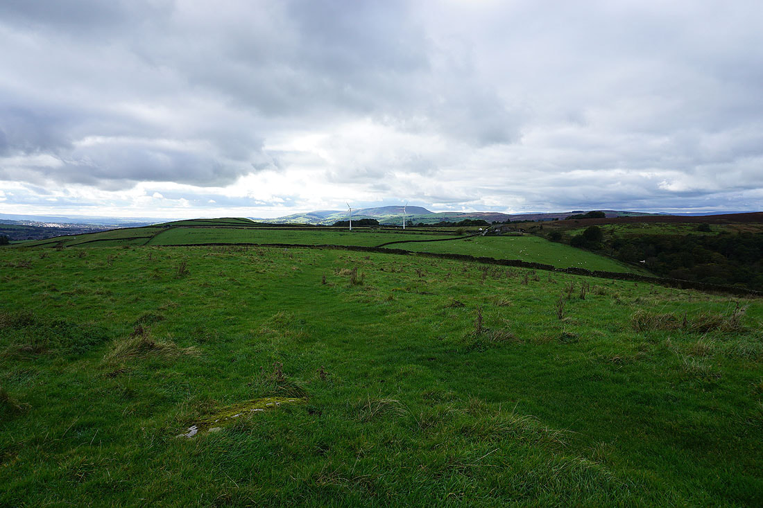
Pendle Hill in the distance, from the footpath from Piked Edge to Harwes Farm
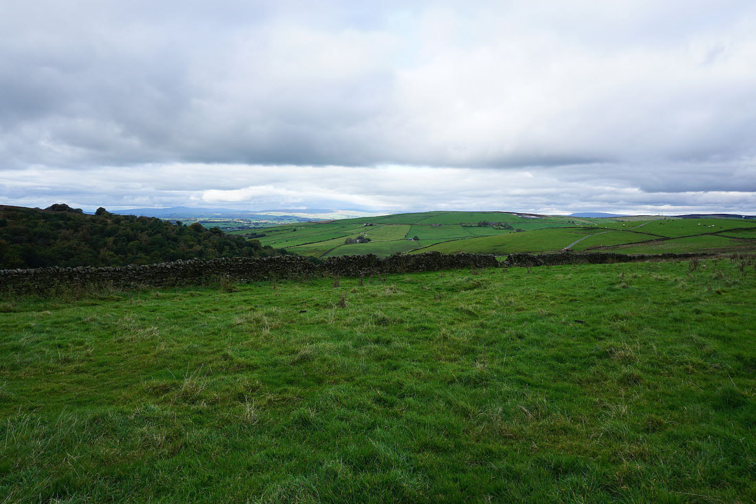
To my right, Kelbrook Wood, Bleara Moor, and Burnt Hill, with Ingleborough in the distance through the gap in the hills on the left
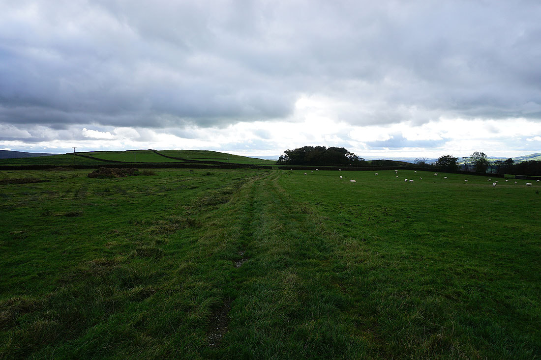
On the footpath from Harwes Farm to Great Edge
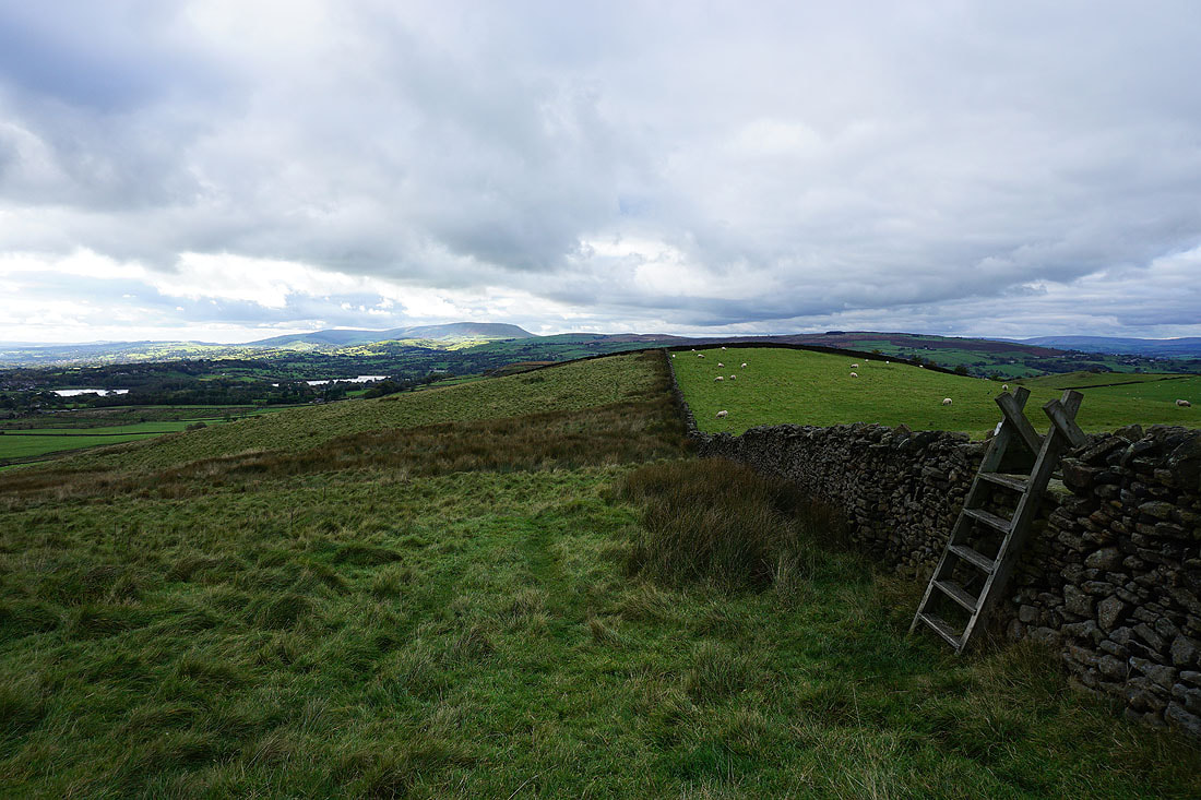
Pendle Hill in the distance from Great Edge
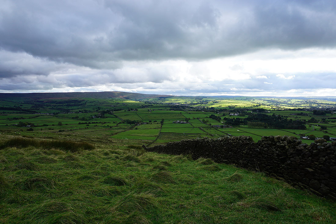
Boulsworth Hill and Trawden to the south
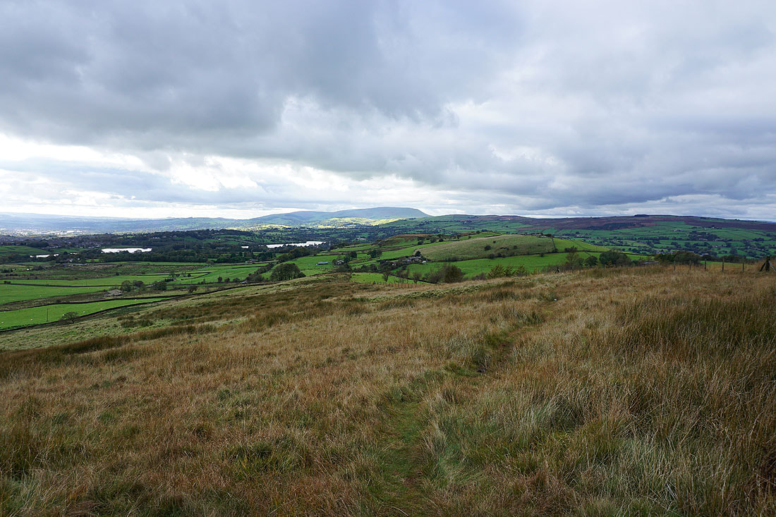
Following the footpath down Great Edge to Cob Lane
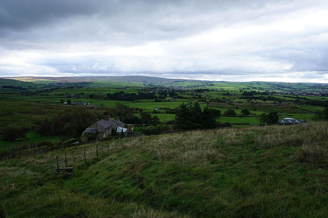
Looking south to Boulsworth Hill and Trawden from above Noyna End Farm as I make my way up Noyna Hill
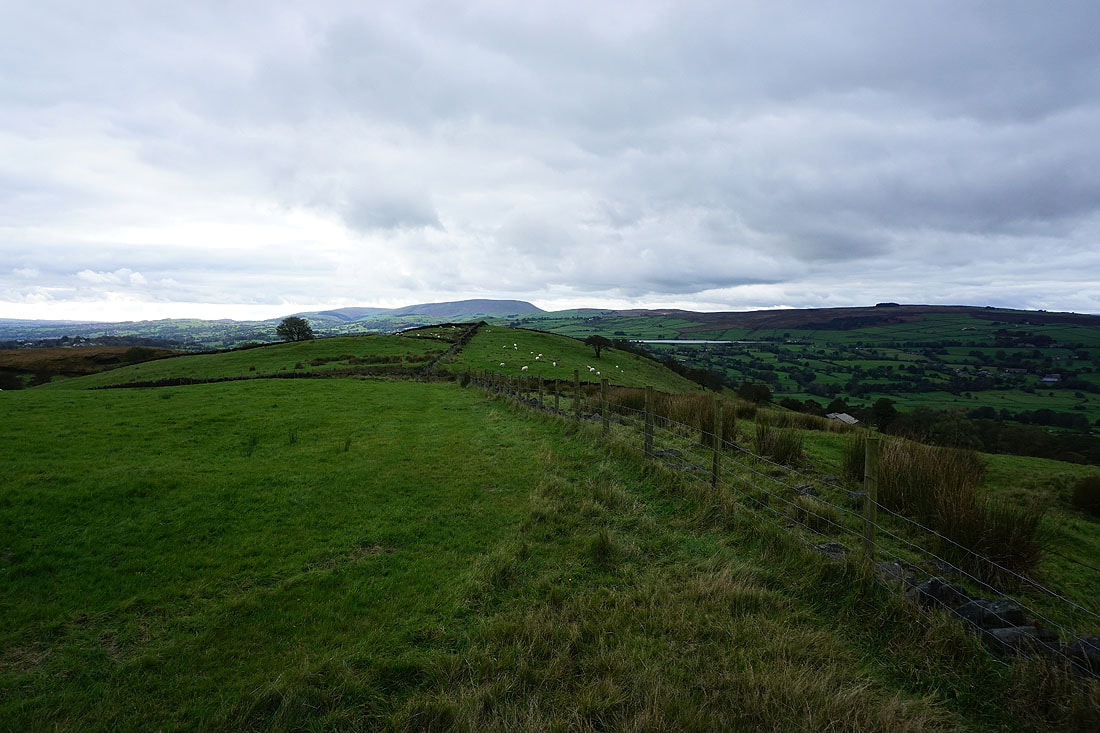
Looking across the top of Noyna Hill to Pendle Hill in the distance
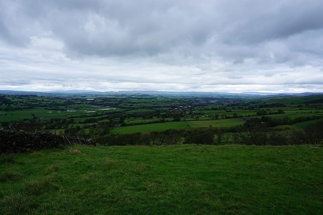
The visibility is good enough to make out Ingleborough, the moors above Settle and Malham, and Great Whernside, in the distance to the north
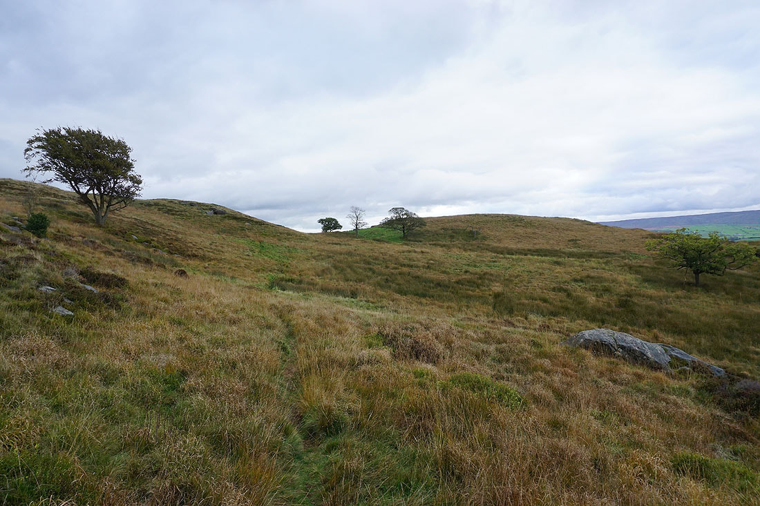
Crossing access land on Noyna Hill to reach my favourite spot to take in the view
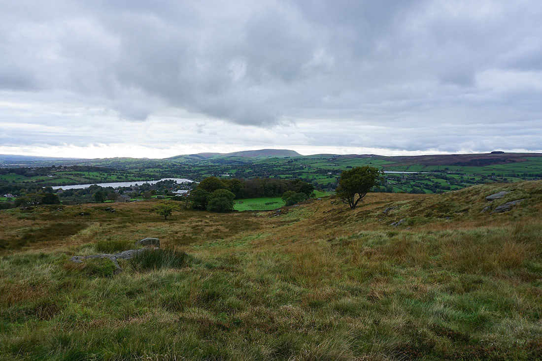
The view west to Pendle Hill from that spot
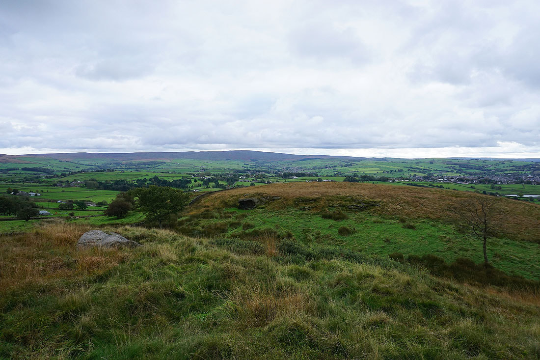
and of Boulsworth Hill to the south
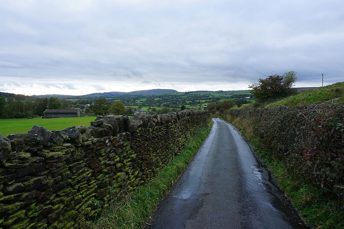
Heading down Noyna Road to Foulridge and home