21st September 2008 - A Coledale Horseshoe plus Grasmoor
Walk Details
Distance walked: 10.7 miles
Total ascent: 4562 ft
OS map used: OL4 - The English Lakes, North-western area
Time taken: 6.5 hrs
Route description: Braithwaite-Braithwaite Lodge-Barrow-Barrow Door-Sail Pass-Sail-Crag Hill-Wandope-Grasmoor-Coledale Hause-Hopegill Head-Grisedale Pike-Kinn-Braithwaite
A very murky day for this walk in the north-western fells so not many photos taken and no real long distance views.
I started this walk from the small car park on the Whinlatter road. From the car park I walked down the road and into Braithwaite, through the village to Braithwaite Lodge and then upto the summit of Barrow. It was then a high level walk around the head of Coledale visiting the summits of Sail, Crag Hill, Wandope, Grasmoor, Hopegill Head and finally Grisedale Pike before heading down.
Route map
© Crown copyright. All rights reserved. License number PU 100034184.
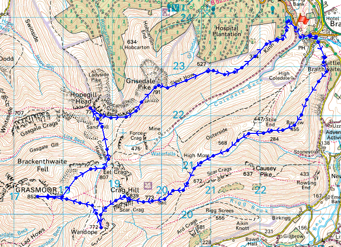
Skiddaw from my first summit of the day, Barrow
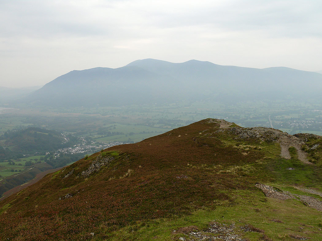
A view across Rowling End to Maiden Moor, Dale Head and Hindscarth
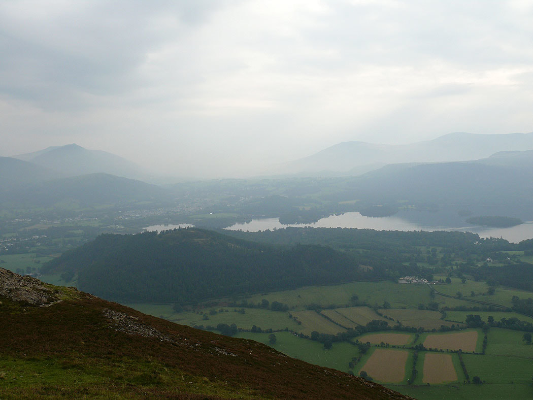
Derwent Water through the murk
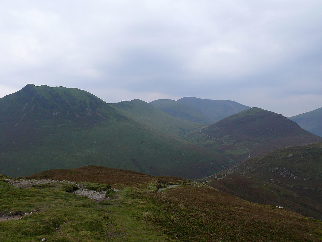
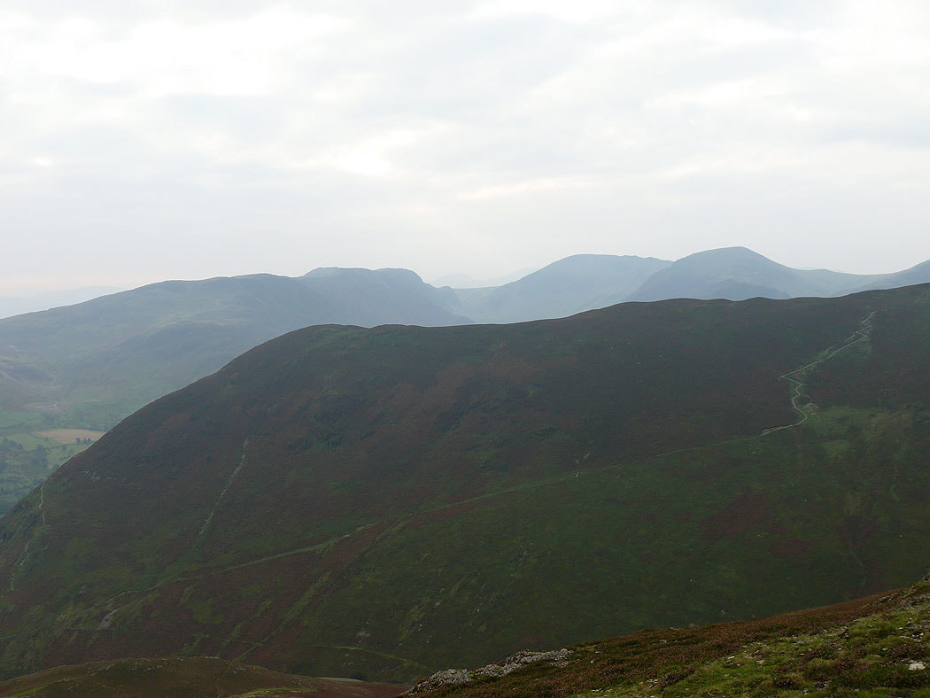
Just a few of the fells to come. Causey Pike, Scar Crags, Sail, Crag Hill and Outerside.
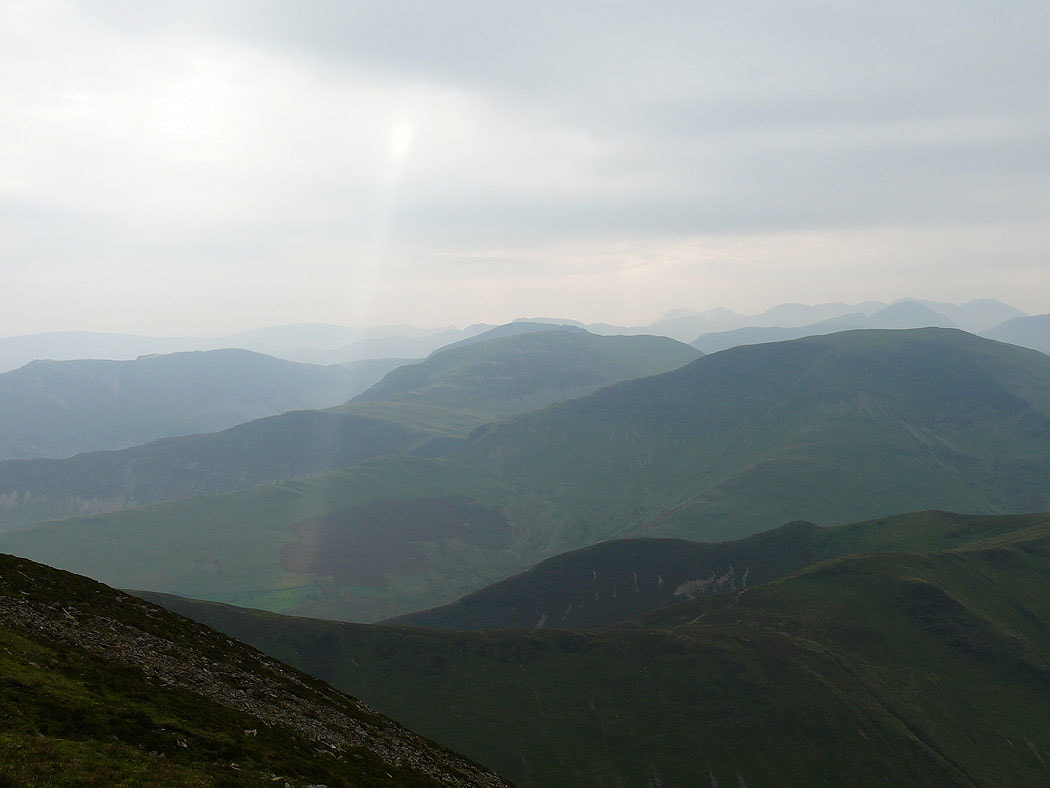
On Sail and there's a more distant view of High Spy, Dale Head, Hindscarth and Robinson. The high fells of Bowfell, the Scafells and Great Gable can be made out behind Robinson.
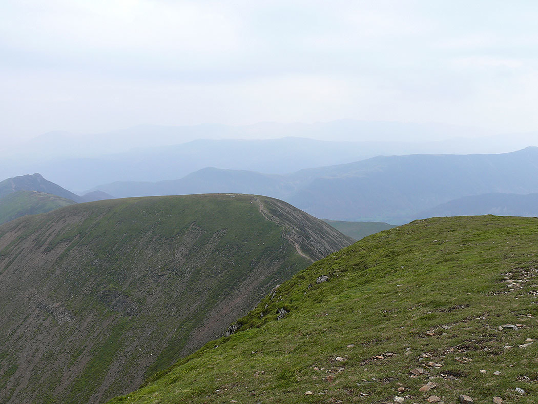
The previous summit of Sail from Crag Hill
Grisedale Pike
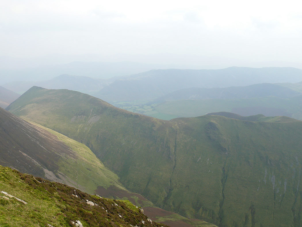
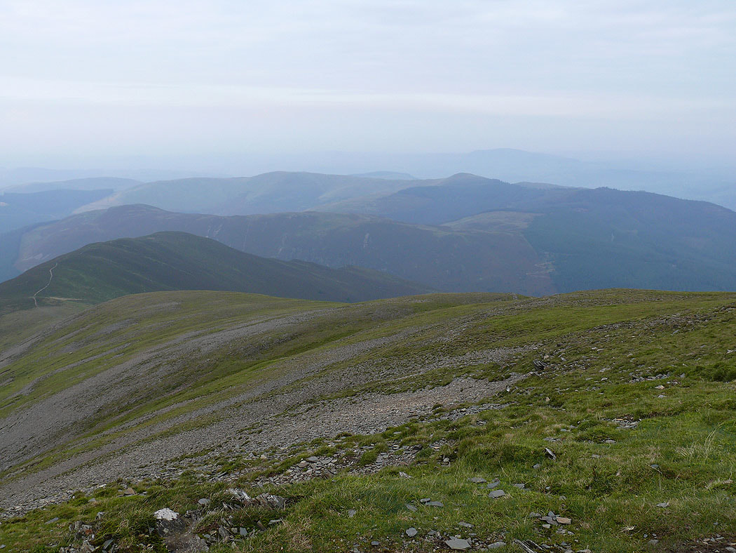
The Ard Crags to Knott Rigg ridge below from Wandope
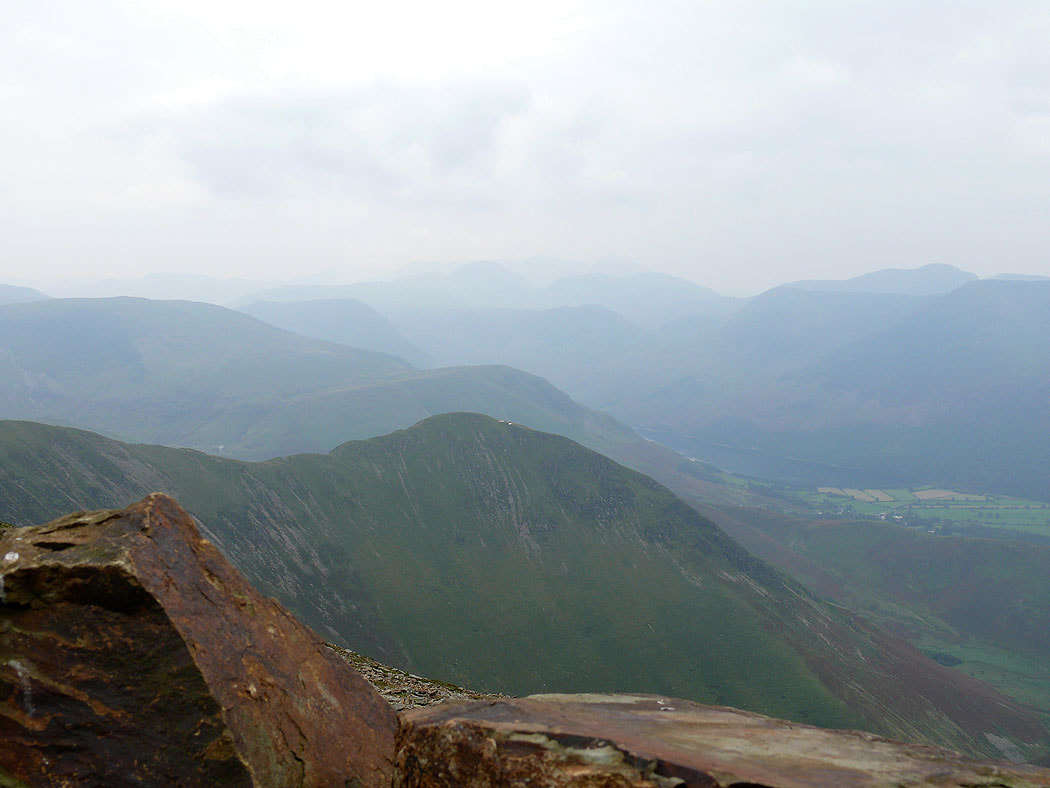
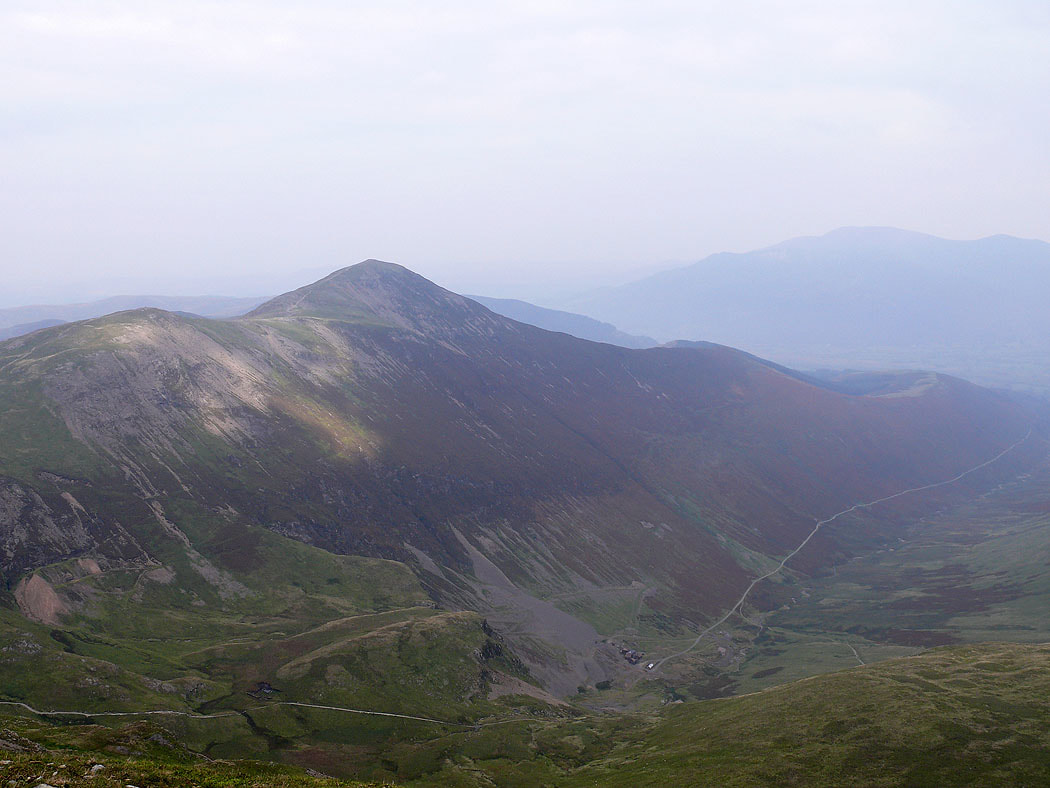
On Grasmoor. The view here is looking down at Whiteless Pike and into Buttermere. You might be able to make out the dome of Great Gable through the murk.
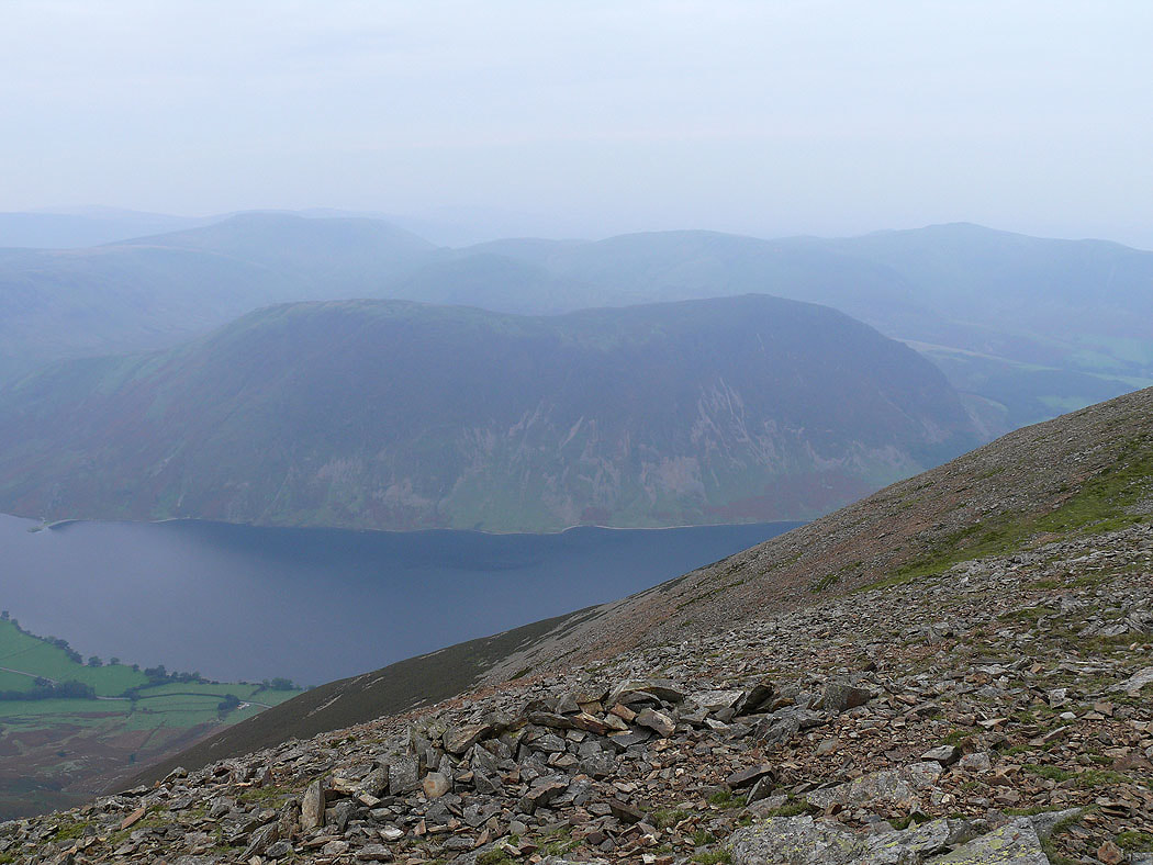
Mellbreak and Crummock Water
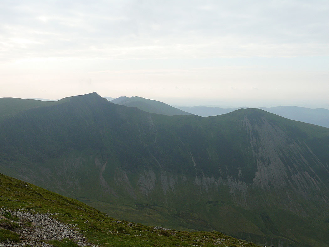
Hopegill Head and Ladyside Pike from my final summit of the day, Grisedale Pike
The final shot of the day, the Whinlatter fells