21st September 2014 - Ward's Stone
Walk Details
Distance walked: 12.0 miles
Total ascent: 1673 ft
OS map used: OL41 - Forest of Bowland & Ribblesdale
Time taken: 5.5 hrs
Route description: Abbeystead-Lower Lee-Tarnbrook-Tarnbrook Fell-Grey Crag-Ward's Stone-Cabin Flat-High Lee-Lower Lee-Abbeystead
My brother Stephen wanted to join me on my walk in the Forest of Bowland today. This was the route I had planned but it was one that I thought would be suitable as it's quite gentle underfoot so the twelve miles can be covered pretty quickly. An added bonus would be the extensive panorama from the summit of Ward's Stone.
The fine, dry September weather continues. It had been hazy all week but yesterday it looked as though it had cleared and when we set off this morning the visibility looked pretty good. Unfortunately it returned on the way up and restricted the view. No extensive panorama today. I must mention that the peat has really dried out, if you've ever wanted a walk in the Forest of Bowland with firm ground underfoot, now's the time.
From where we parked at Stoops Bridge in Abbeystead we followed the path across fields to Lower Lee and then the minor road to the hamlet of Tarnbrook. We then took the shooters track up Tarnbrook Fell to reach the col between Ward's Stone and Wolfhole Crag. Easy walking across peaty ground and we were at the eastern summit of Ward's Stone. After paying the trig point at the western end a visit we made our way across to the shooters track back down into Wyresdale at Higher Lee. There was then a short walk down the road to Lower Lee to retrace our steps to Abbeystead.
Route map
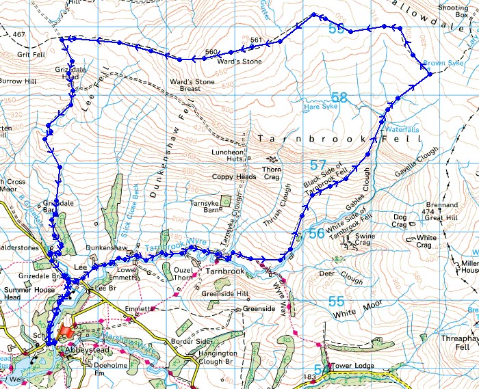
© Crown copyright. All rights reserved. License number PU 100034184.
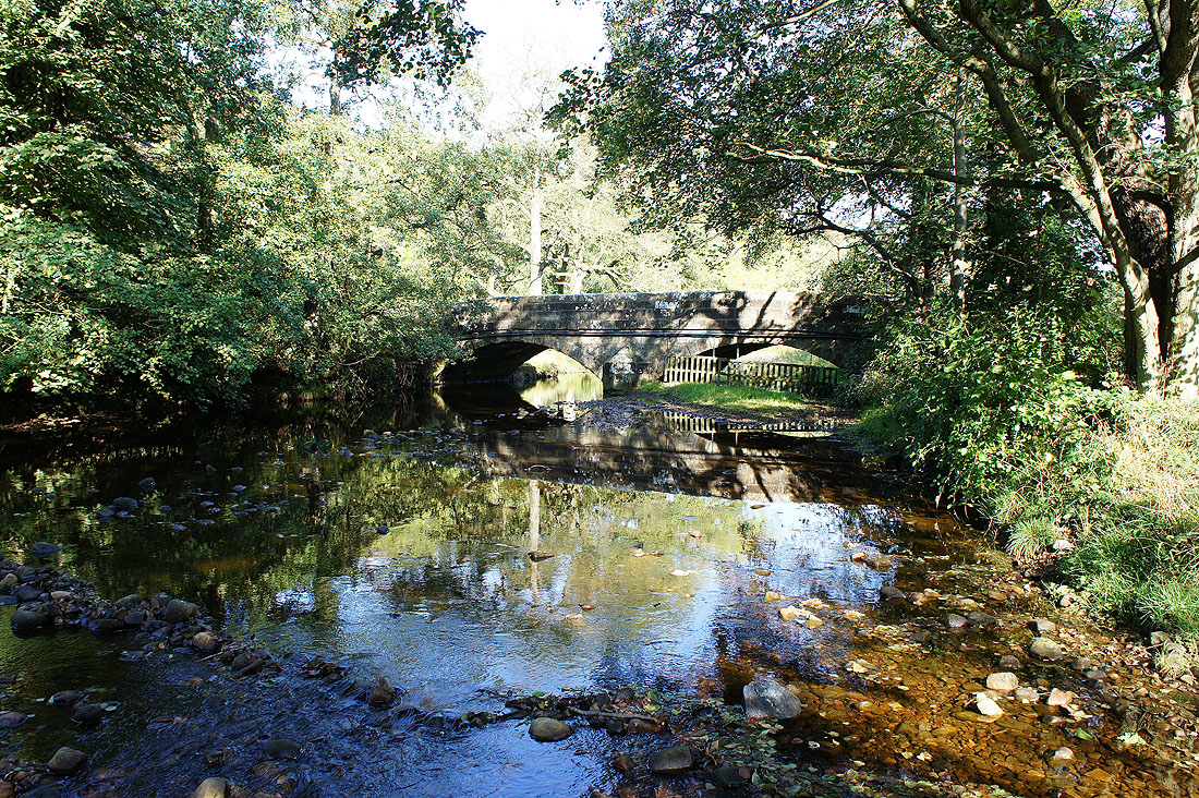
Stoops Bridge over the Tarnbrook Wyre. There's a small parking area here which was where we started our walk from.
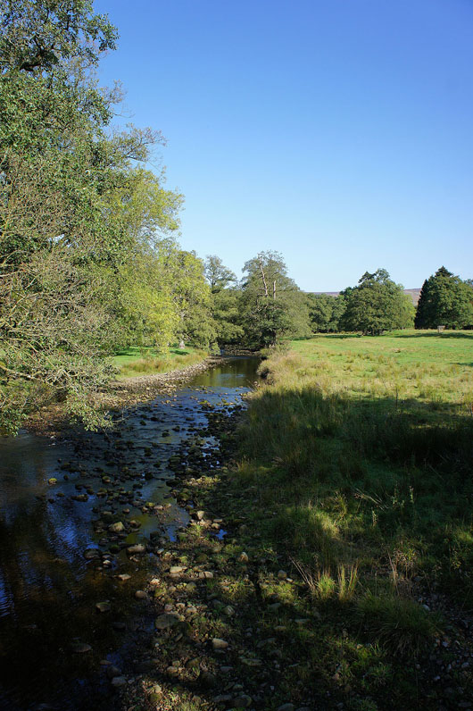
The Tarnbrook Wyre from Stoops Bridge
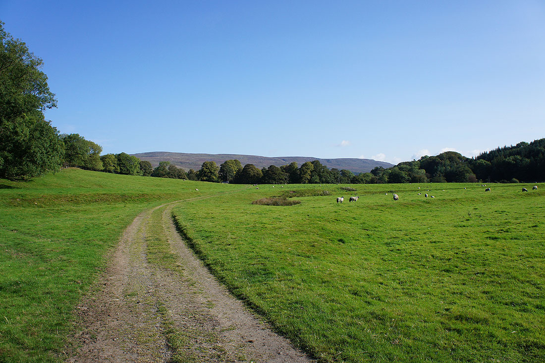
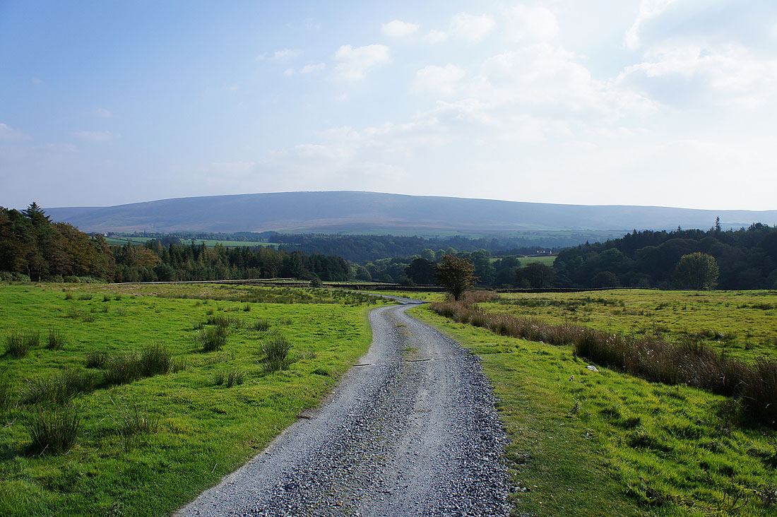
The slopes of Grit Fell and Ward's Stone ahead as we follow the path from Stoops Bridge to the hamlet of Lower Lee
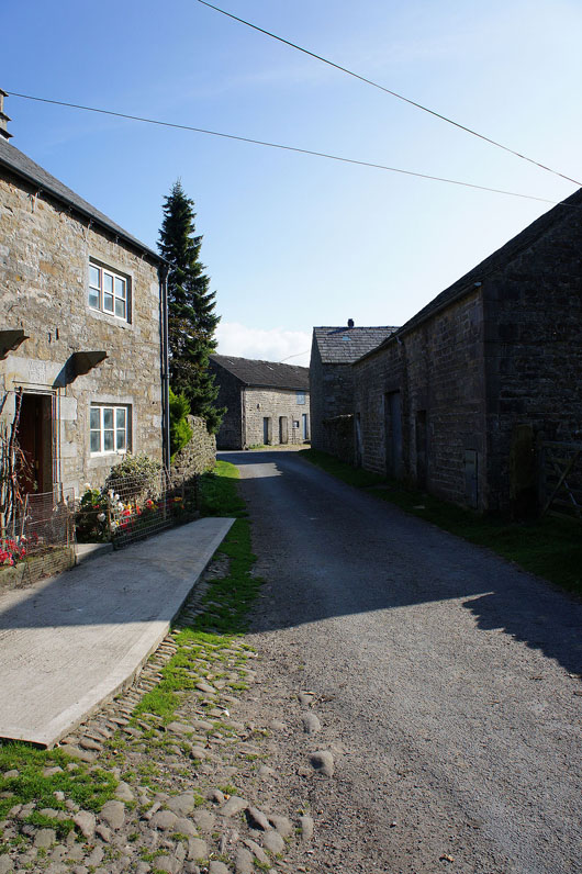
Walking through the hamlet of Tarnbrook. Very quiet.
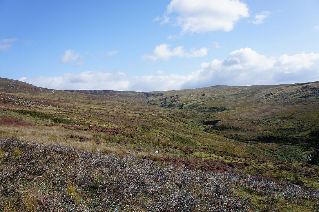
From Tarnbrook we then took the shooters track that heads up the slopes of Tarnbrook Fell above Gables Clough
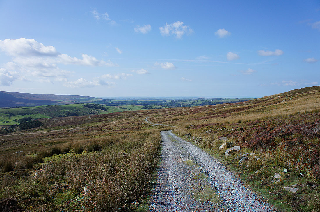
Looking back down into Wyresdale and out to the Fylde coast
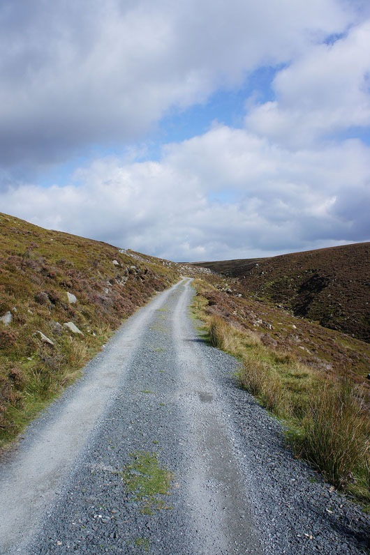
It's easy walking
Looking across to Wolfhole Crag as we start to head up Ward's Stone
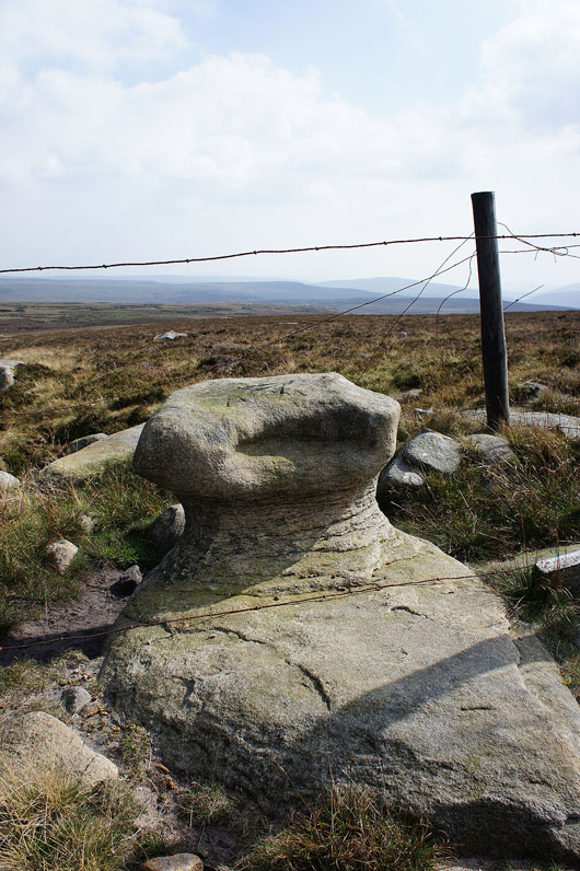
Queen's Chair, it's on the OS map. Not much room to perch on though.
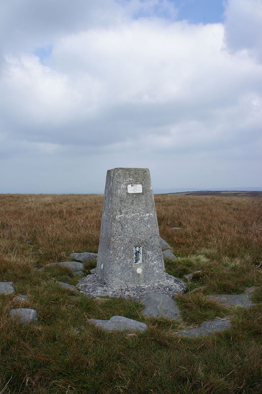
The trig point at the eastern end of the Ward's Stone summit plateau. It's the higher of the two trig points up here, though looking across to the other one you may have another opinion.
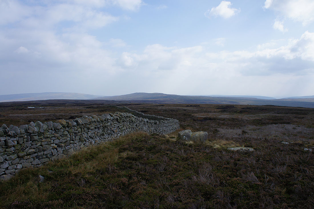
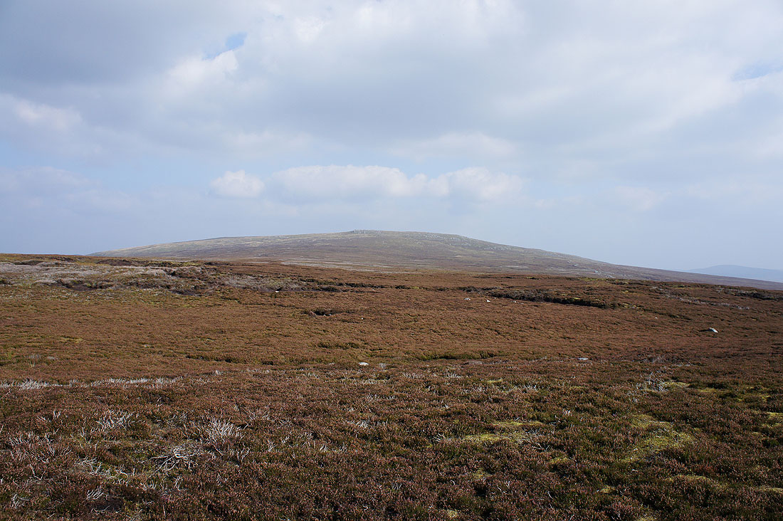
The second and third highest summits in the Forest of Bowland, White Hill and Wolfhole Crag
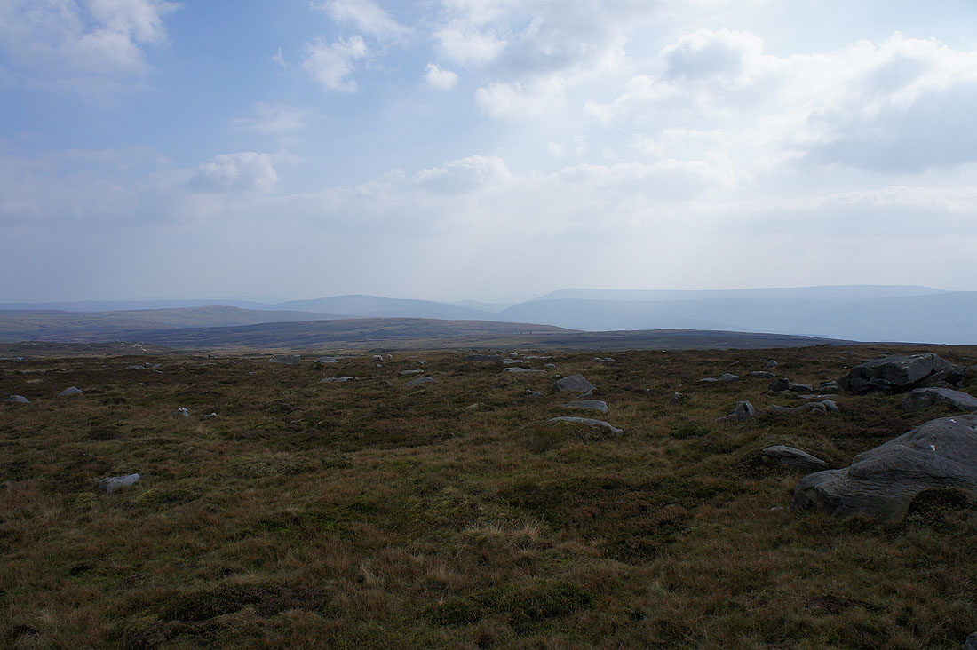
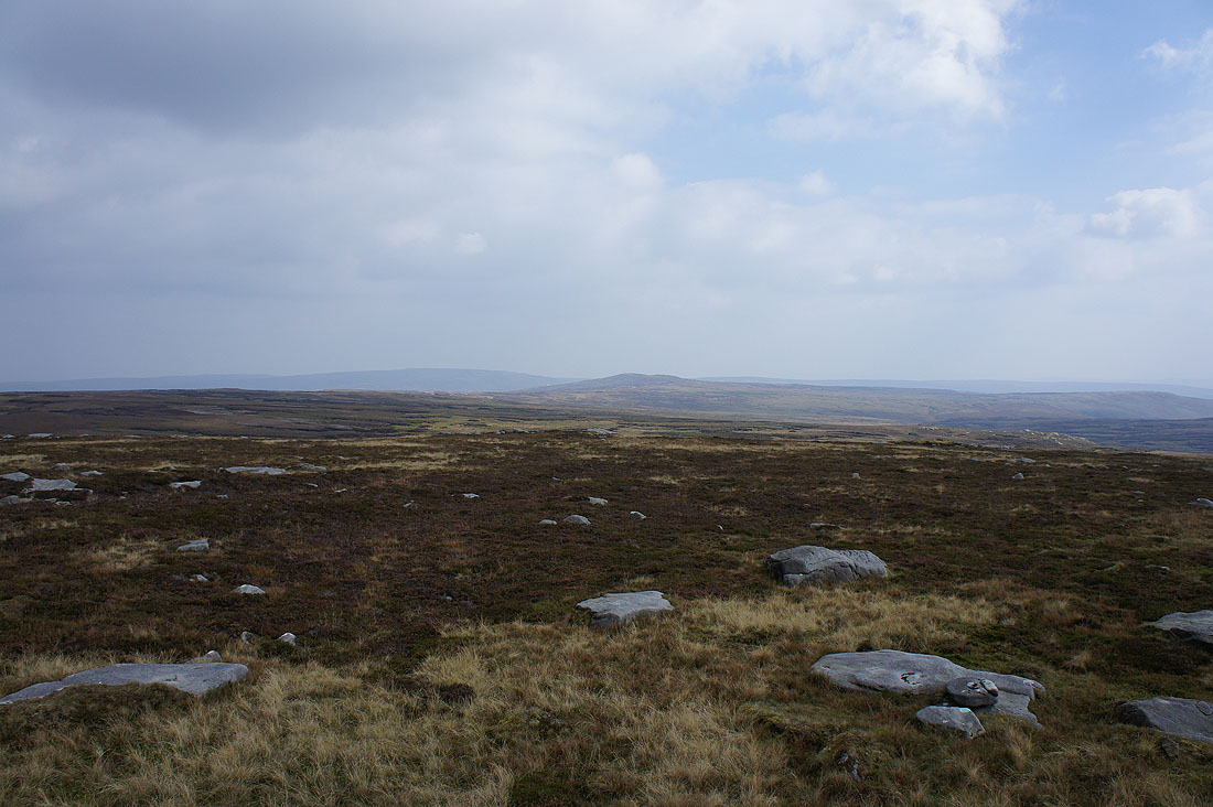
Looking towards the fells around the Trough of Bowland
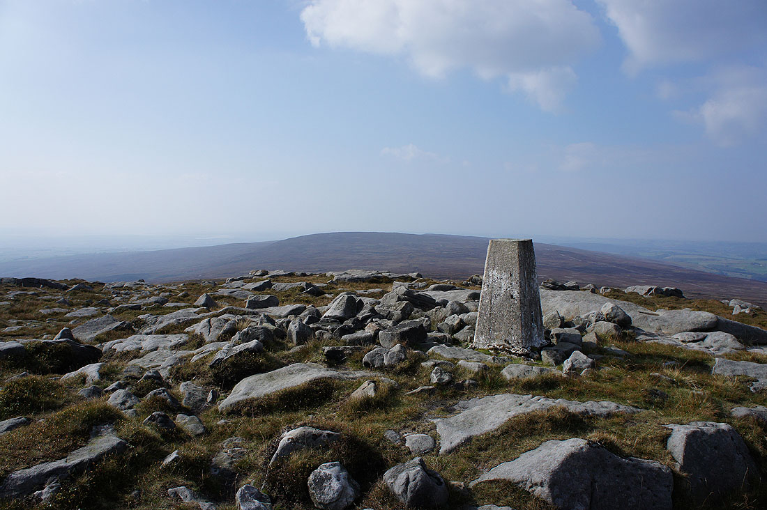
At the trig point at the western end of the summit plateau. It's a real shame that the haze has returned and robbed us of the extensive panorama. If you want to see what it's like a day of good visibility then check out my visit here two years ago, 22nd September 2012.
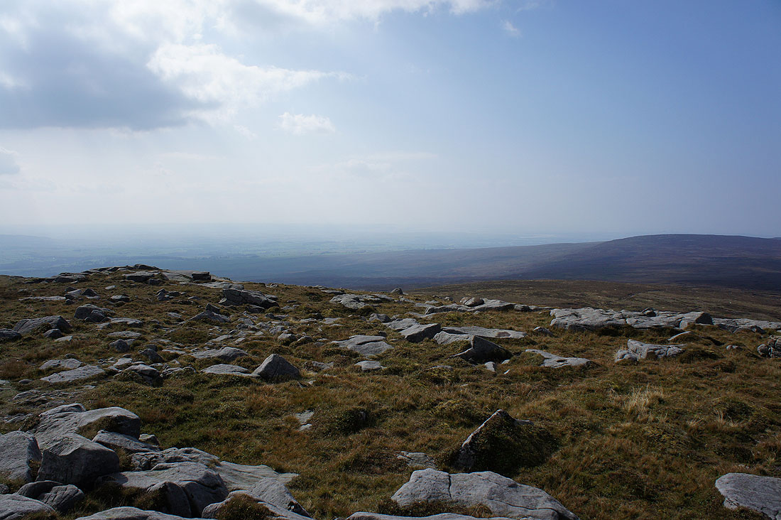
Wyresdale and a barely visible Fylde coast and Lune estuary
The Lune valley and maybe the coast north of Lancaster
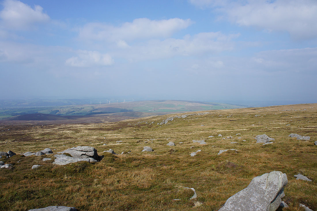
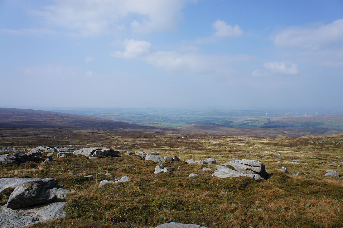
Caton Moor and its windfarm
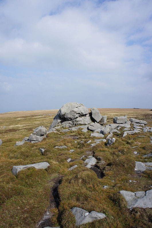
The Ward's Stone that gives the fell its name
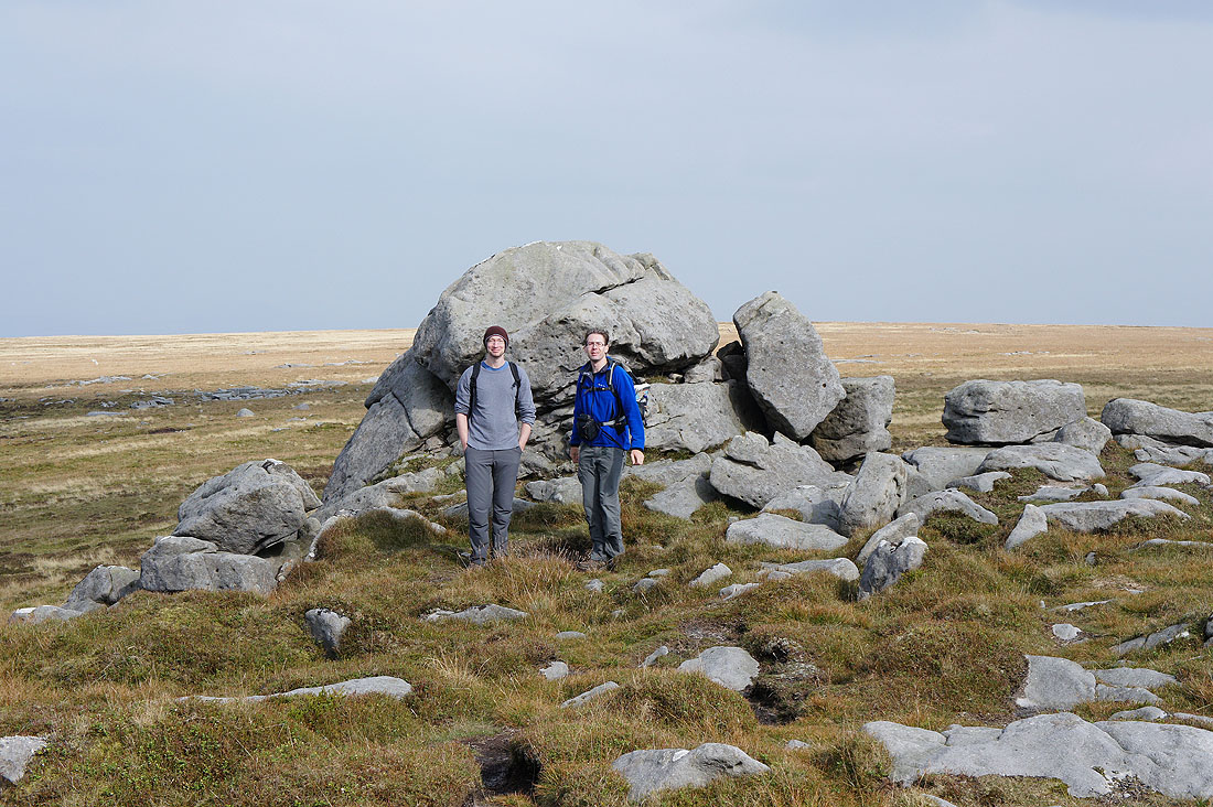
Me (on the right) and my brother Stephen. Unfortunately there was no-one else up here so I perched my camera on the trig point, set the self-timer and made a mad dash to get in place in time without coming a cropper. Made it, but only just.
Looking back up to Ward's Stone from the shooters track down into Wyresdale
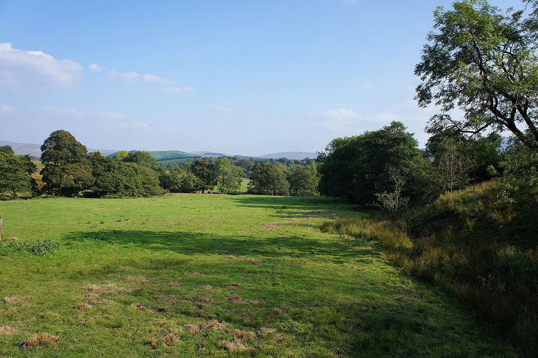
Beautiful views of Wyresdale ahead. On the other side of the valley is Hawthornthwaite Fell.
Perfect weather for enjoying the countryside in Wyresdale. It's so quiet!
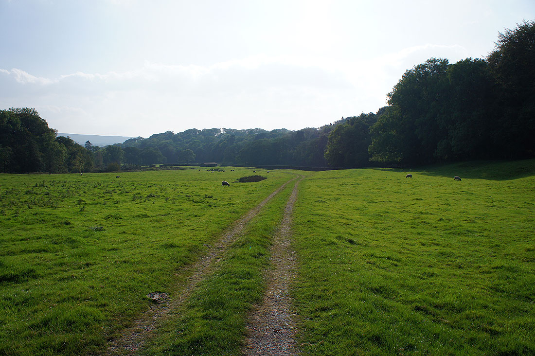
Grit Fell and Ward's Stone as we return to Lower Lee
From Lower Lee there's just a short walk back to Stoops Bridge