21st September 2019 - Grassington Moor and Capplestone Gate
Walk Details
Distance walked: 13.6 miles
Total ascent: 2453 ft
OS map used: OL2 - Yorkshire Dales, Southern & Western areas
Time taken: 7.5 hrs
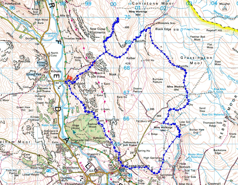
Route description: Conistone-Lea Green-Dales Way-Grassington-High Lane-Edge Lane-Tinkers' Lane-Hebden Beck-Duke's New Road-Grassington Moor Lead Mines-Black Edge-Bycliffe-Bycliffe Road-Conistone Turf Road-Capplestone Gate-Conistone Turf Road-Bycliffe Road-Conistone Dib-Davy Dimple-Conistone
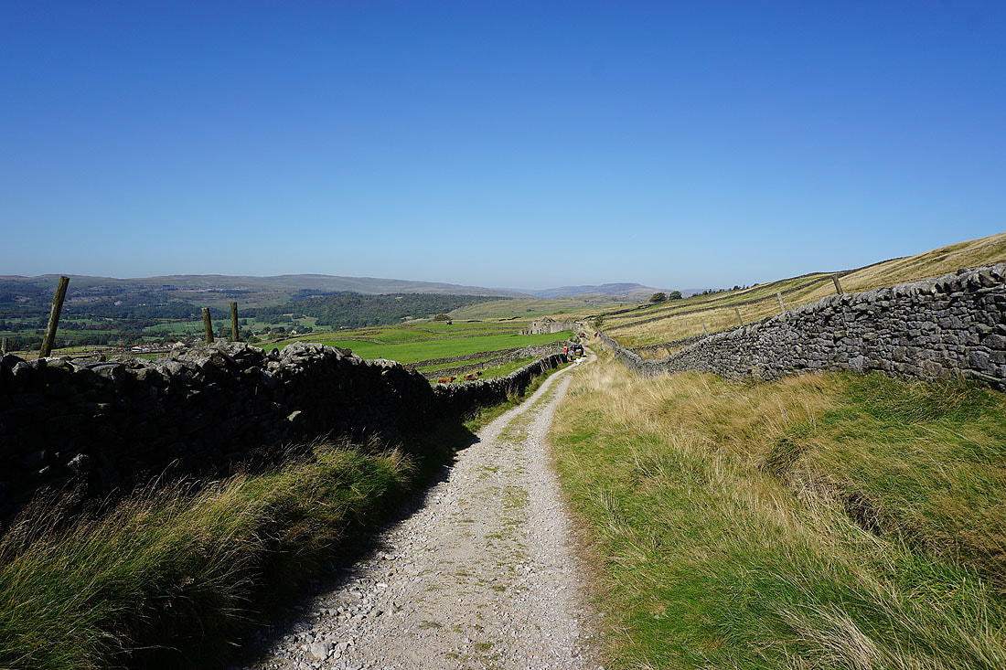
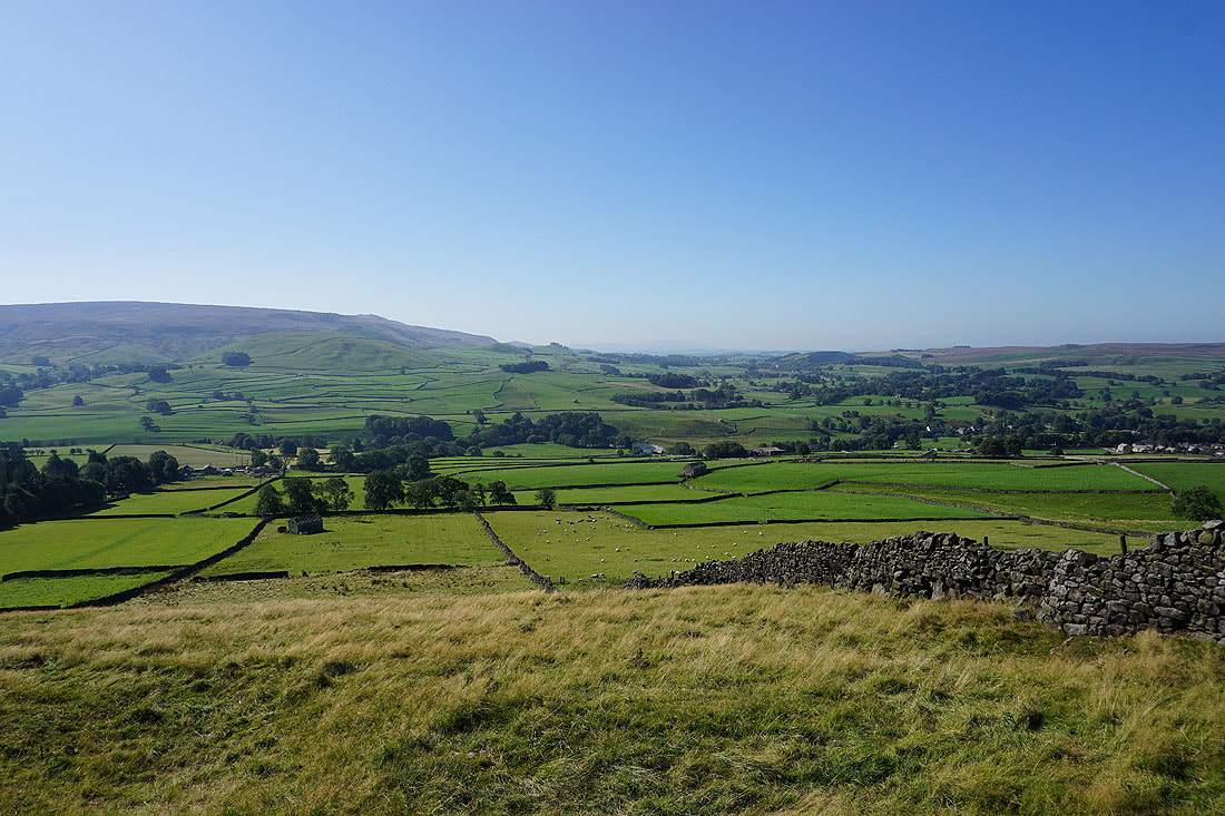
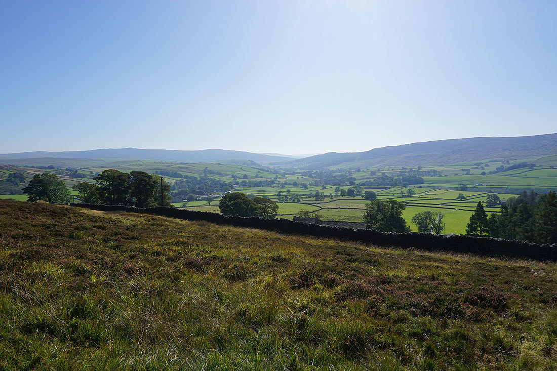
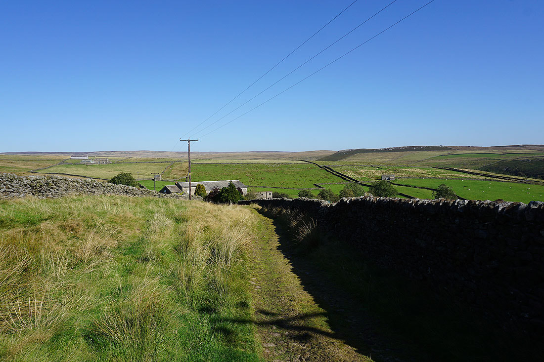
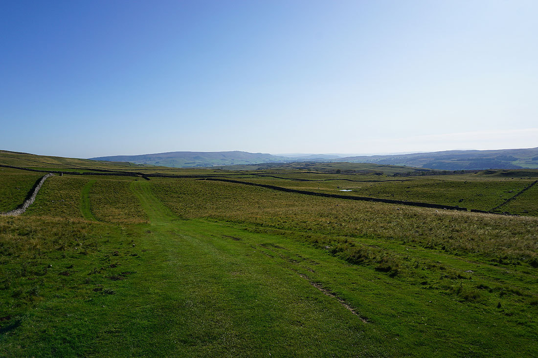
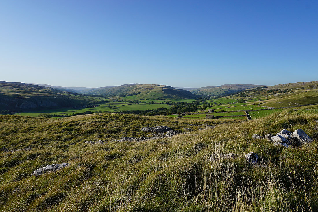
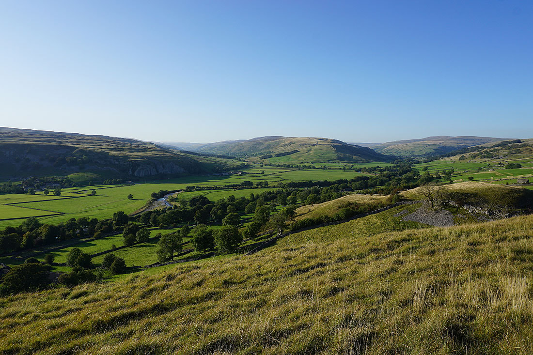
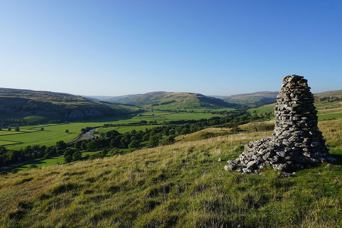
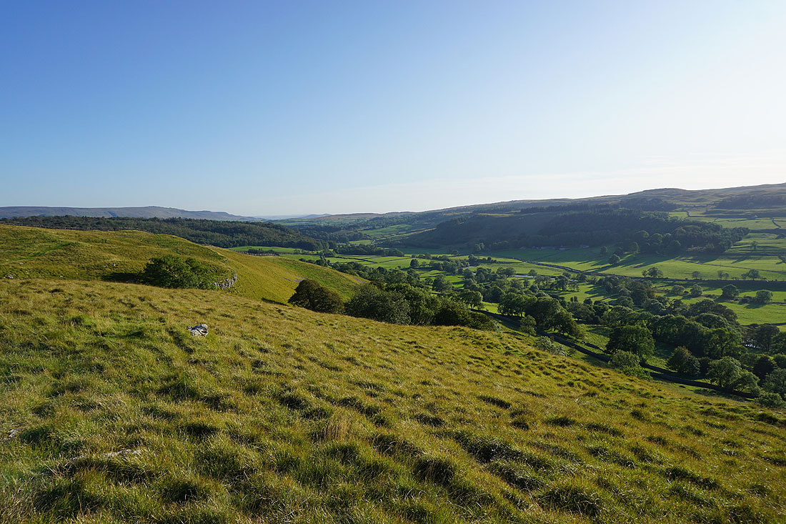
I enjoyed some glorious autumn weather for this walk on the moors above Conistone and Grassington in Wharfedale. In fact, it felt like the perfect summer's day, with wall-to-wall blue skies and sunshine, and good visibility for taking in the views. I did a similar route in November last year, but then I started from Grassington and took in the moors above Grassington and Hebden. On both occasions I've explored the mine ruins on Grassington Moor, which are well worth a look. As I was making my way north across Grassington Moor in the afternoon I decided to make a detour up to the Capplestone Gate trig point. I had the time, it didn't add that much distance to the walk and it was definitely worth it for the views, as was getting up to the cairn on the hillside of Davy Dimple before arriving back in Conistone.
After parking in Conistone I briefly walked along the road to Grassington before taking a footpath on the left that heads south up onto the limestone moorland, across Lea Green, where it joins the Dales Way, and down into Grassington. I then walked along the road across the top of Grassington and onto the track of High Lane, which I followed east for a short distance to a footpath on the left, which I took up to the track of Edge Lane. I made my way east along Edge Lane and then north along Tinkers' Lane down to Hebden Beck. Here I took the track north by the beck and then west onto the moor through the disused mine workings to the track of Duke's New Road, which I followed north up to the mine ruins on Grassington Moor. Once I'd made it up to the chimney and Coalgrove Beck Reservoir on the moor I followed a track north, then northwest across Grassington Moor and below Black Edge to the Conistone to Sandy Gate bridleway. I walked along the bridleway towards Wharfedale, onto the track of Bycliffe Road and at a left hand bend took the Conistone Turf Road path up to the Capplestone Gate trig point. Once I'd taken in the view I retraced my steps to Bycliffe Road and I resumed by descent to Wharfedale. When I reached the Dales Way I turned left, briefly followed it south and took the path down into Conistone Dib. I followed the path down the Dib back to Consitone, but with a detour up to the cairn on the hillside of Davy Dimple on the way.
Route map
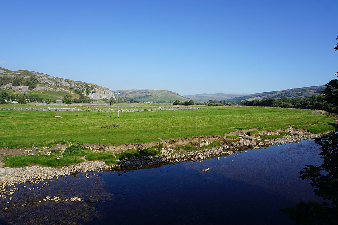
Kilnsey Crag and Wharfedale from Conistone Bridge. It's a beautiful autumn morning.
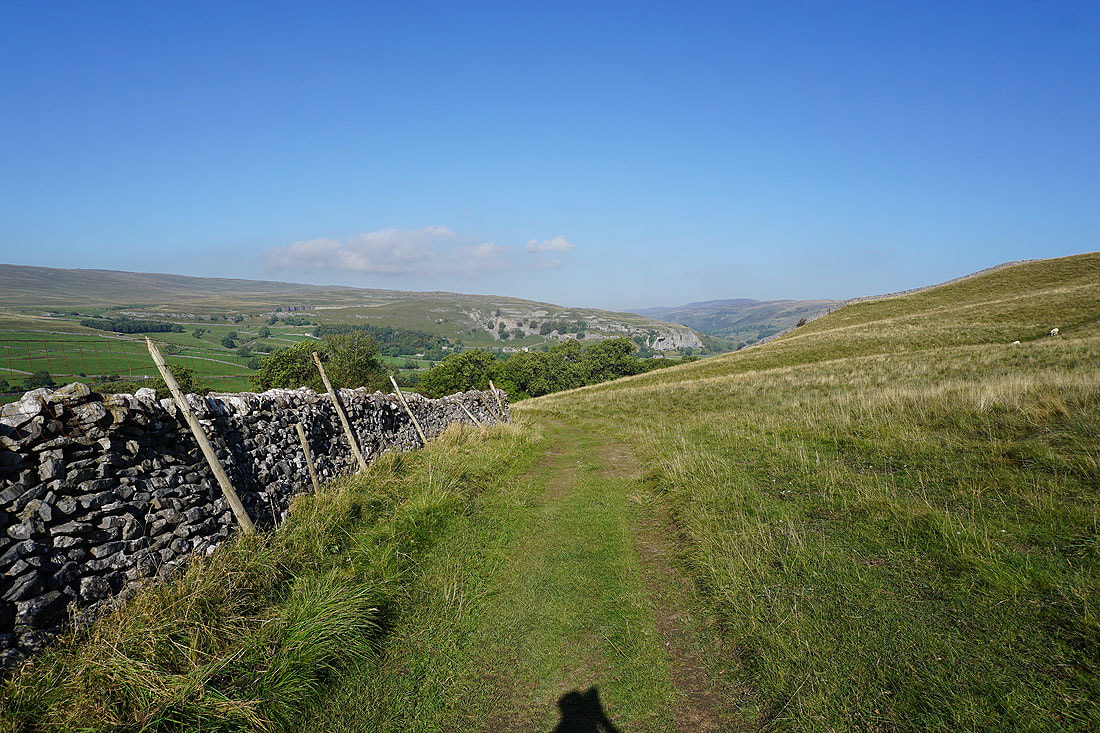
Looking back to Kilnsey Crag as I leave Conistone behind for the path to Grassington
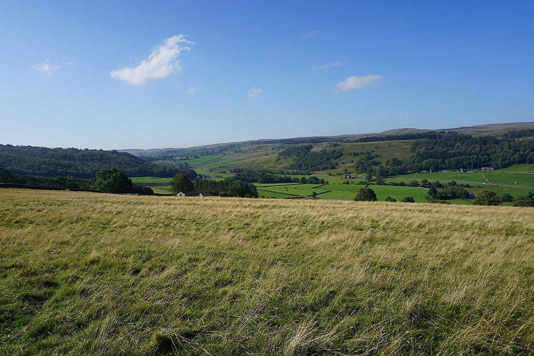
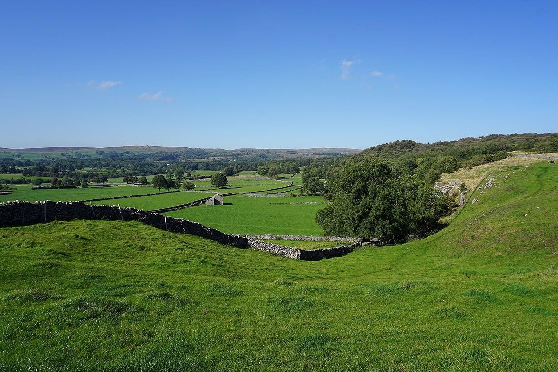
Looking across Wharfedale to Haw Hill and Malham Moor
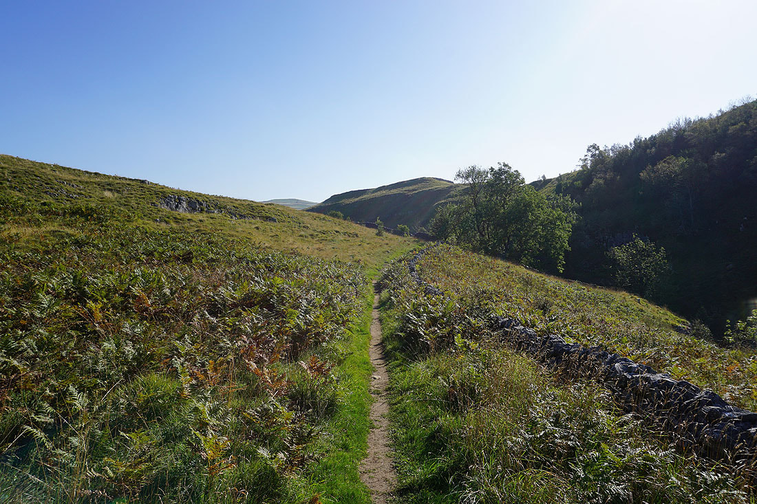
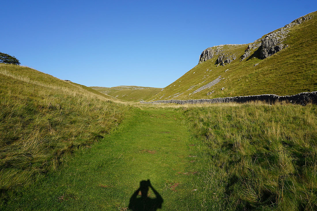
The path heads into the valley of Dib Beck
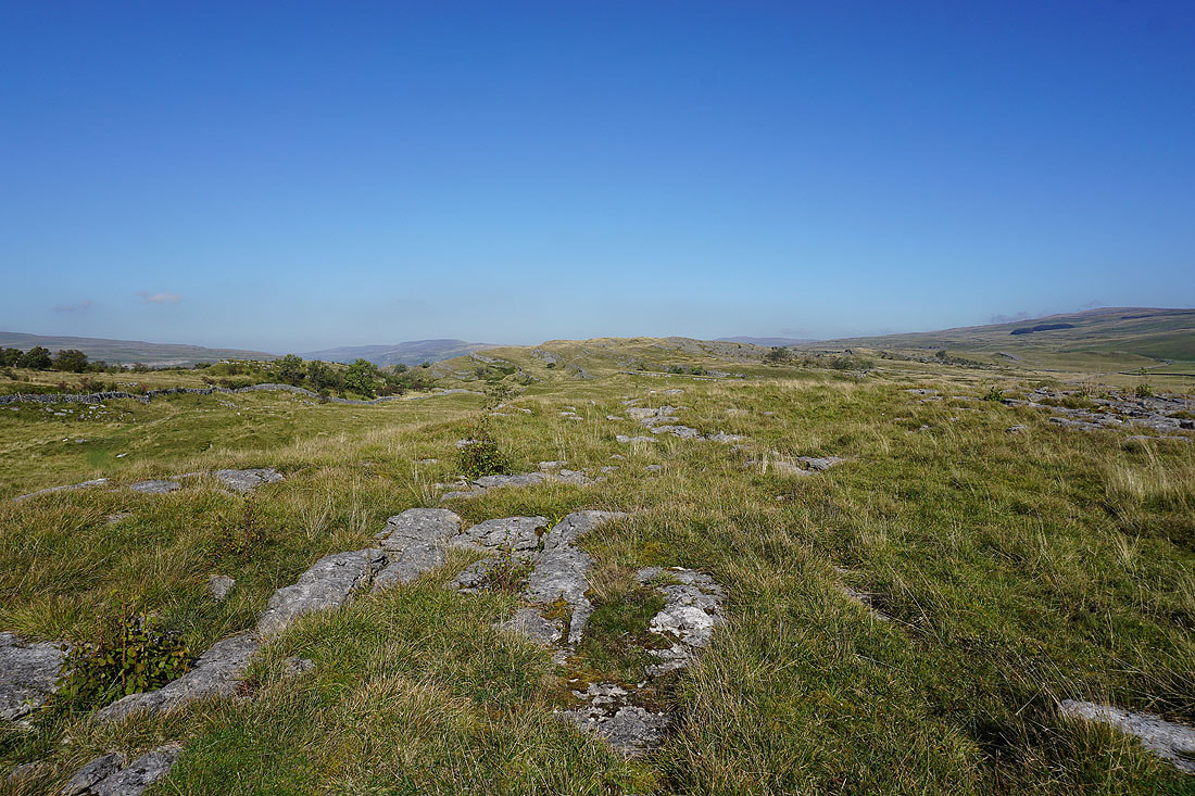
Limestone moorland on Lea Green
Grassington and Barden Moor ahead
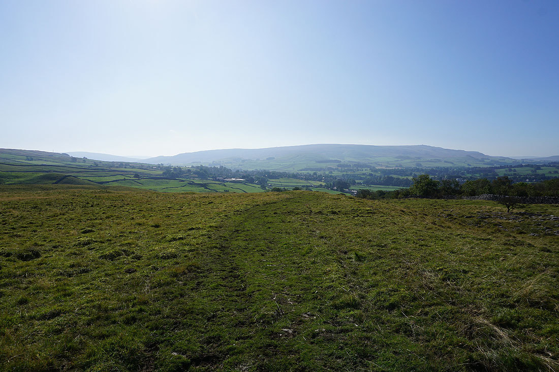
Wharfedale, Grass Wood and Bastow Wood
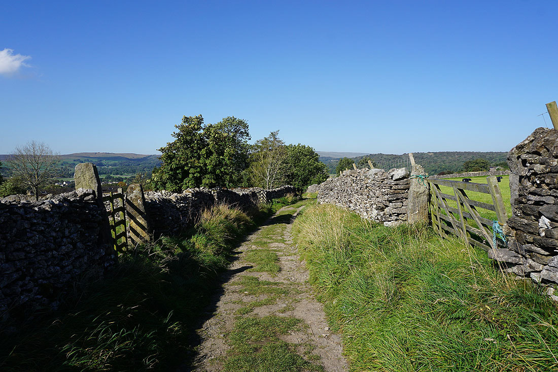
On the track of High Lane after walking through the top of Grassington..
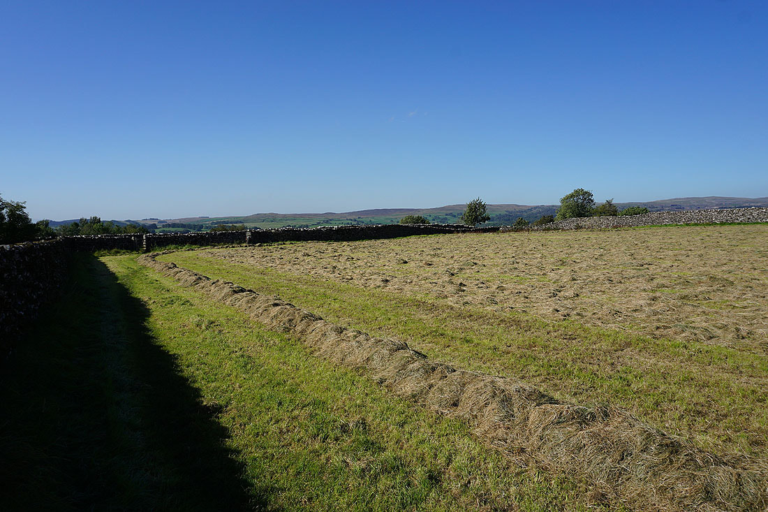
Probably the last cut of the year
Looking across Wharfedale to Threshfield Moor and Malham Moor from the path up to Edge Lane
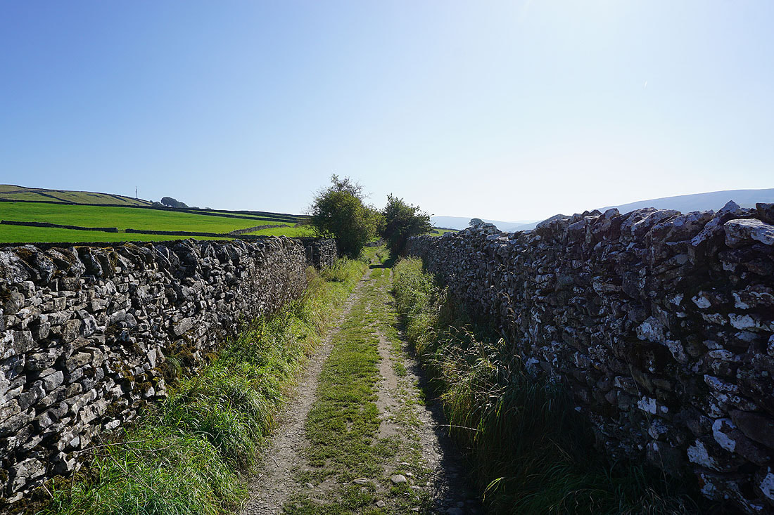
On the track of Edge Lane
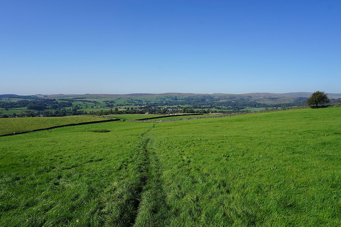
Views across Wharfedale as I follow Edge Lane south..
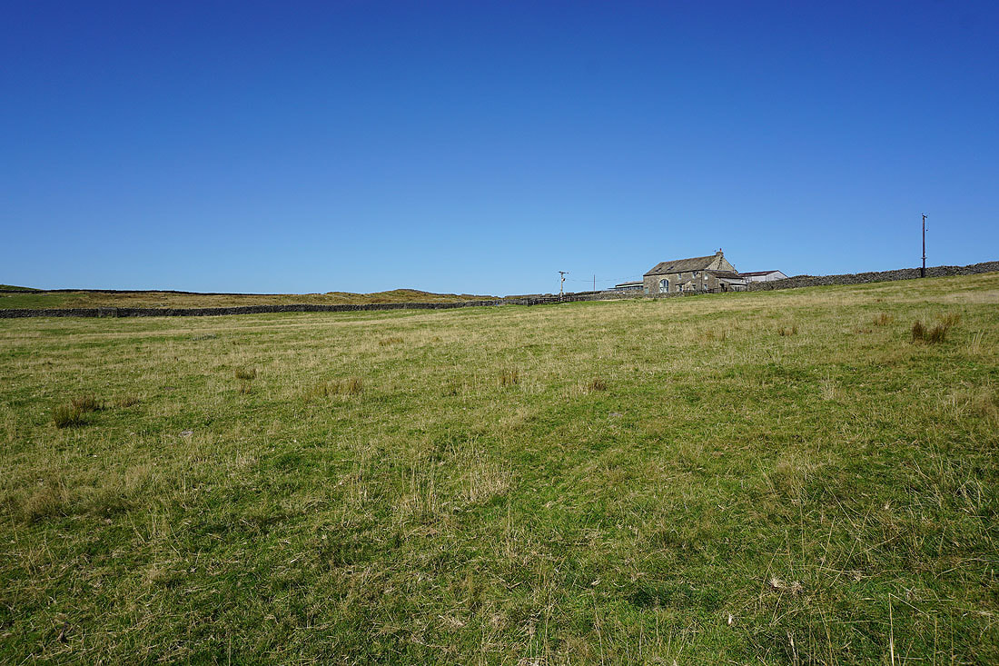
Past High Garnshaw House
New House from Tinkers' Lane
Following Tinkers' Lane down to Hebden Beck..
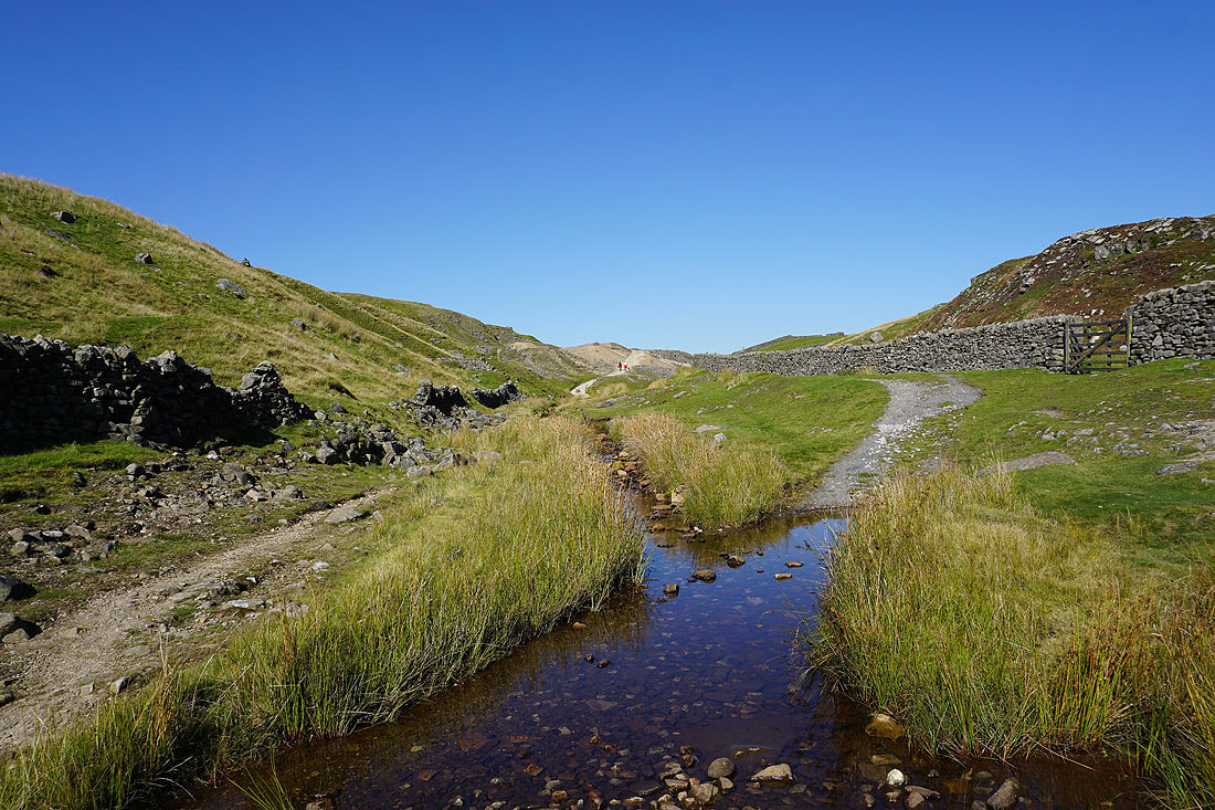
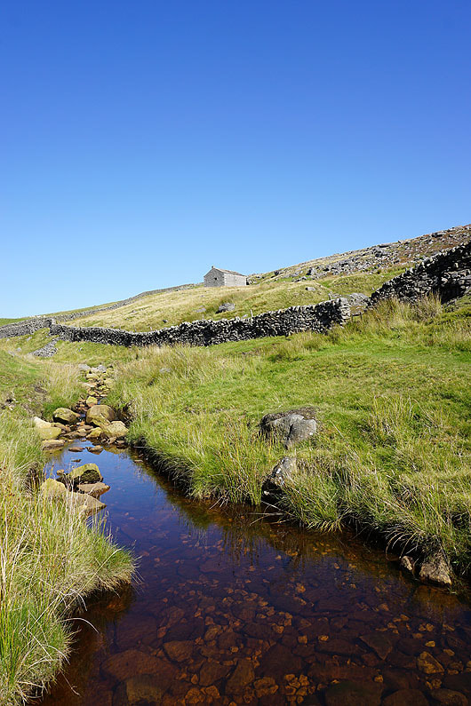
On the track through the disused mine workings by Hebden Beck....
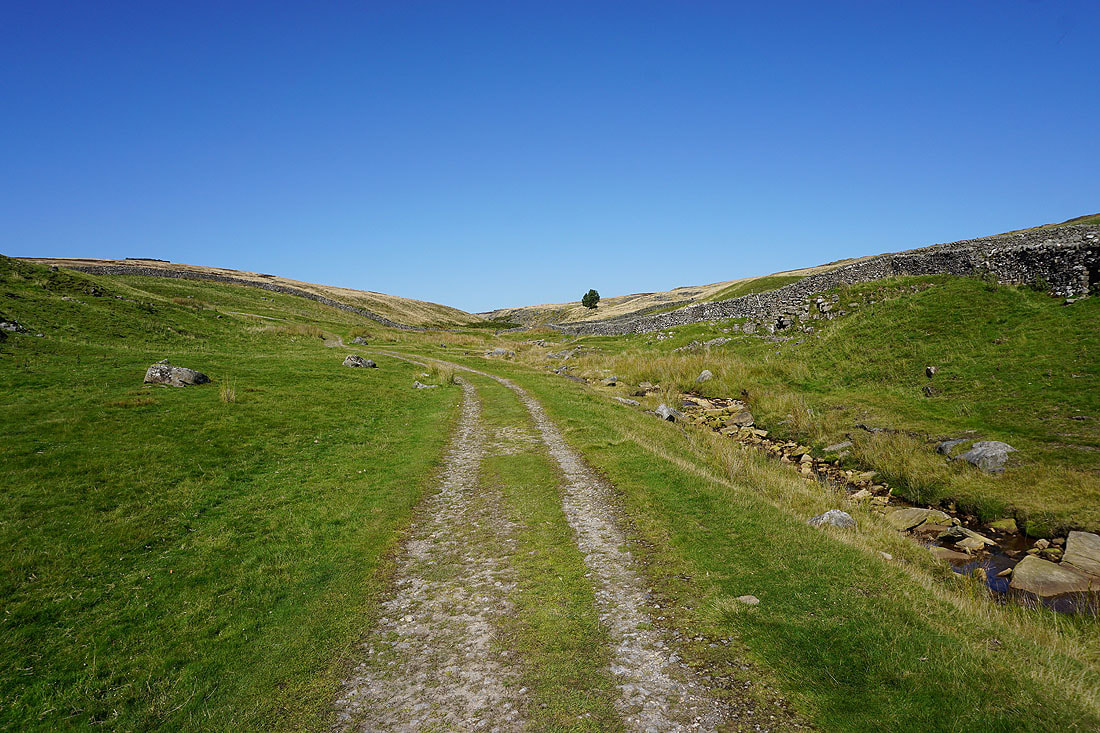
and then on the track of Duke's New Road to the disused mines on Grassington Moor..
Great moorland colours
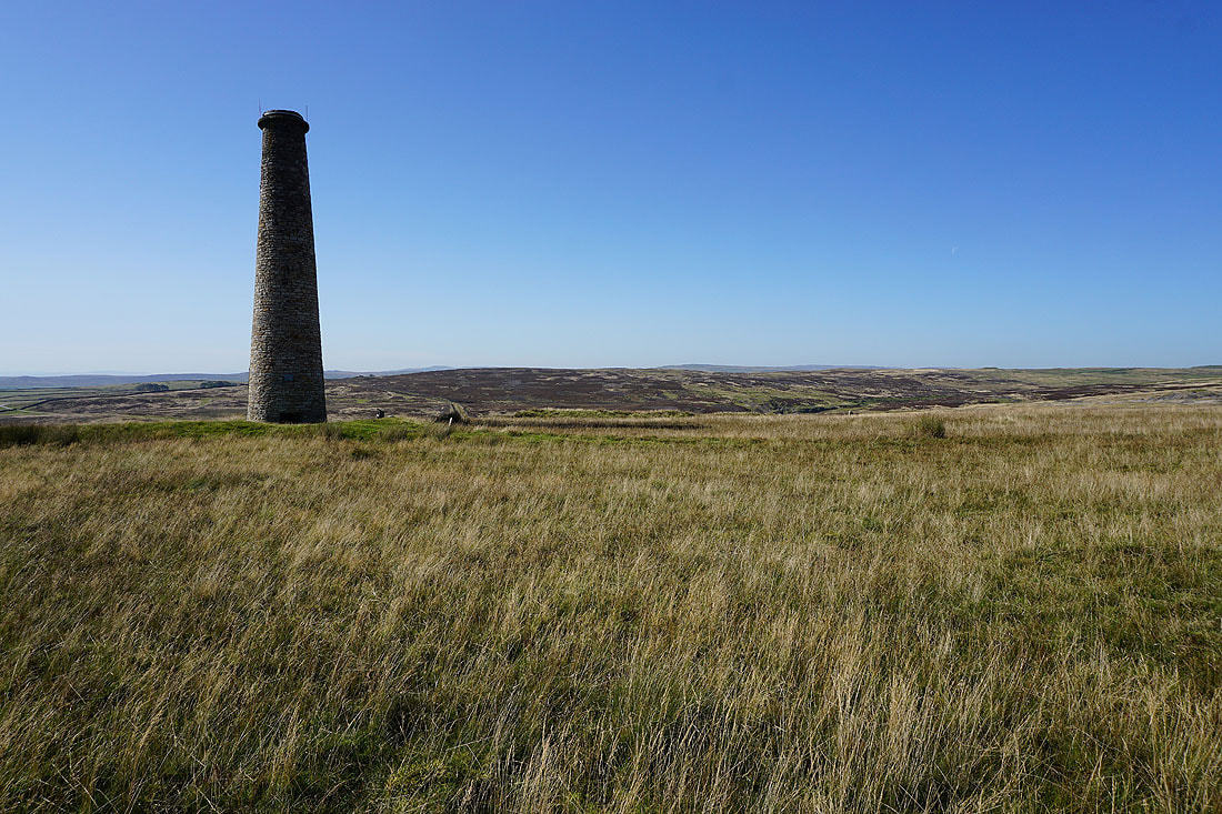
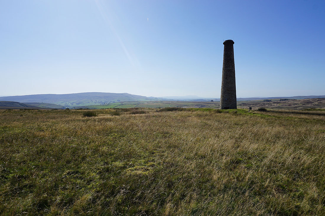
One of the flues that leads up to the chimney on the moor...
Barden Moor and a distant Pendle Hill to its right
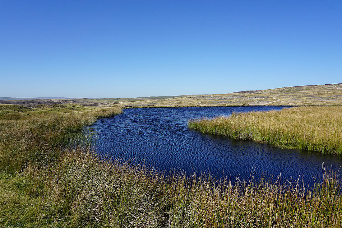
Coalgrove Beck Reservoir
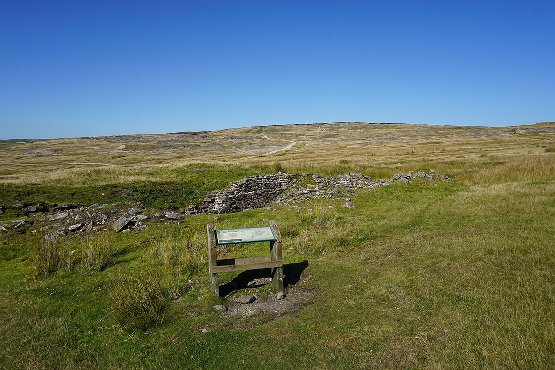
The ruins of a winding house
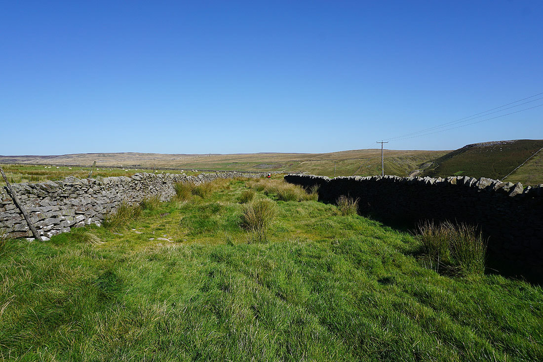
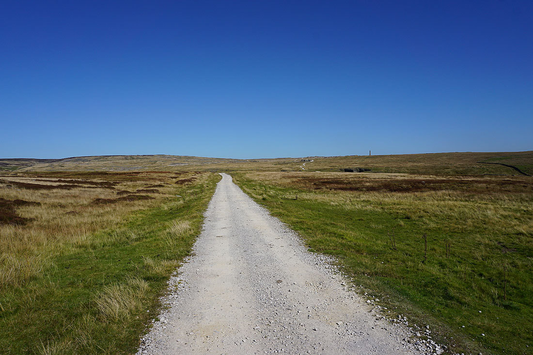
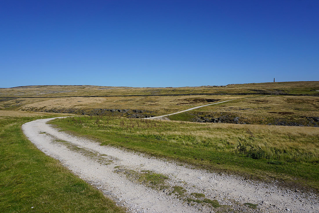
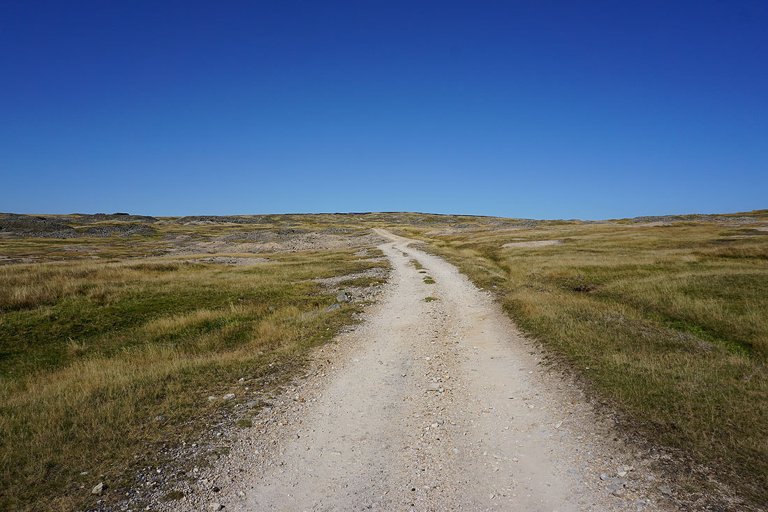
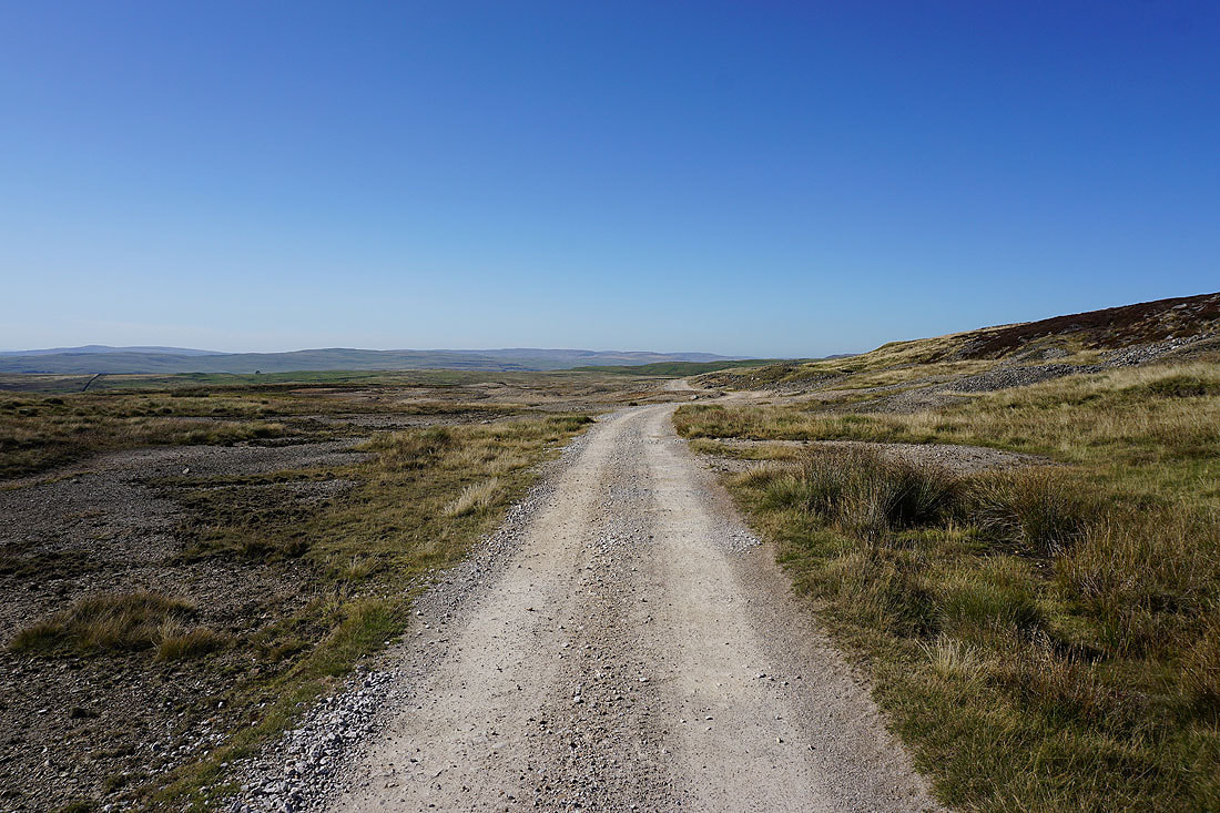
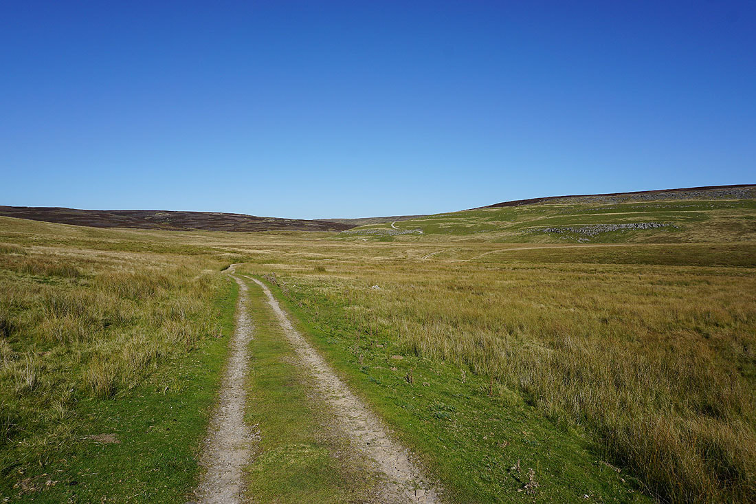
On the track north onto Grassington Moor
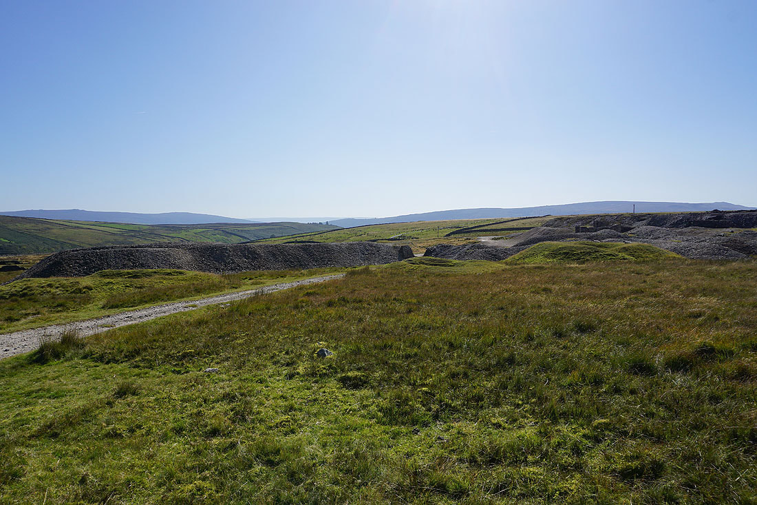
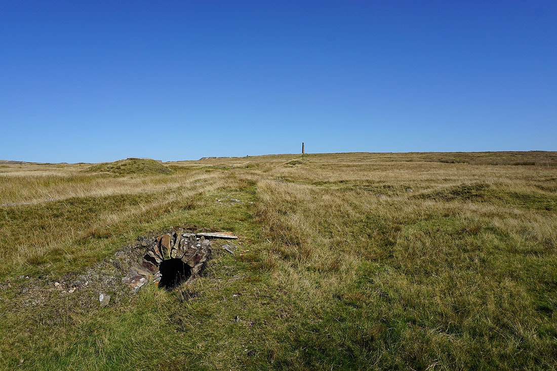
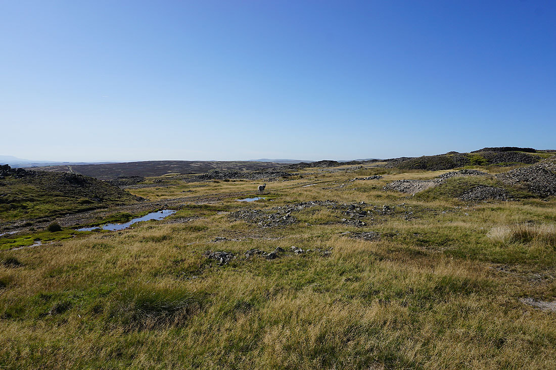
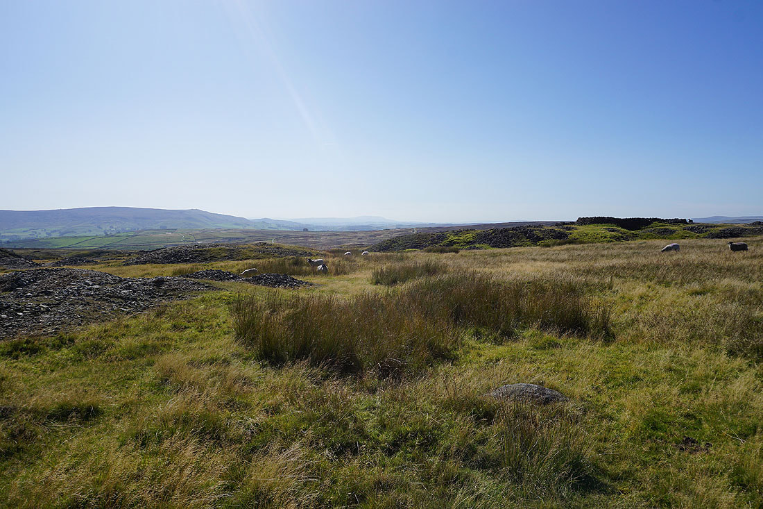
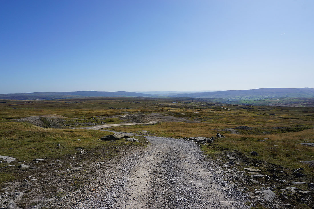
The track makes its way through the tips and spoil heaps of the disused mines..
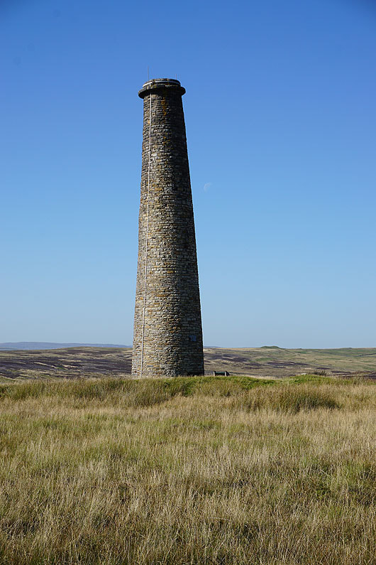
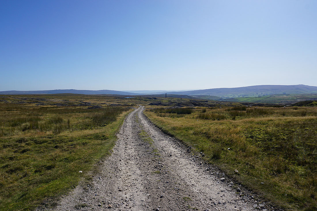
Looking back to the chimney on the moor with Barden Fell in the distance on the left and Barden Moor on the right..
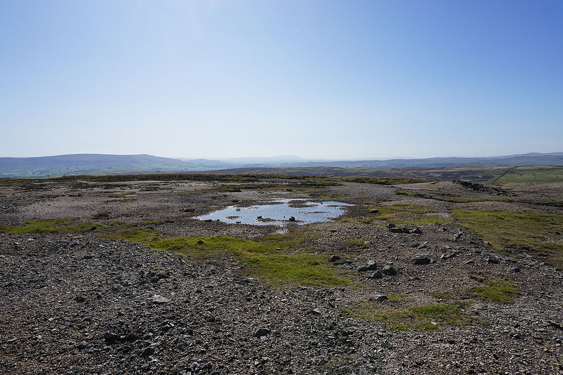
Up here the lack of grass due to lead in the soil gives the landscape an almost lunar appearance..
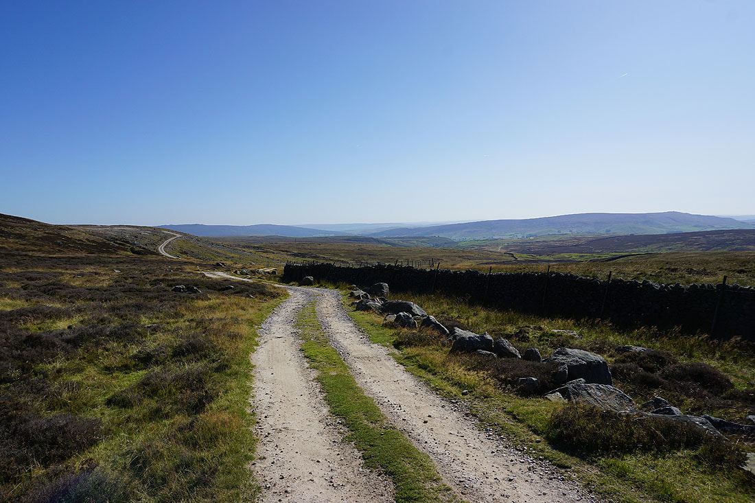
Looking down Wharfedale as the track reaches its top below Black Edge
Malham Moor and Kilnsey Moor on the other side of Wharfedale
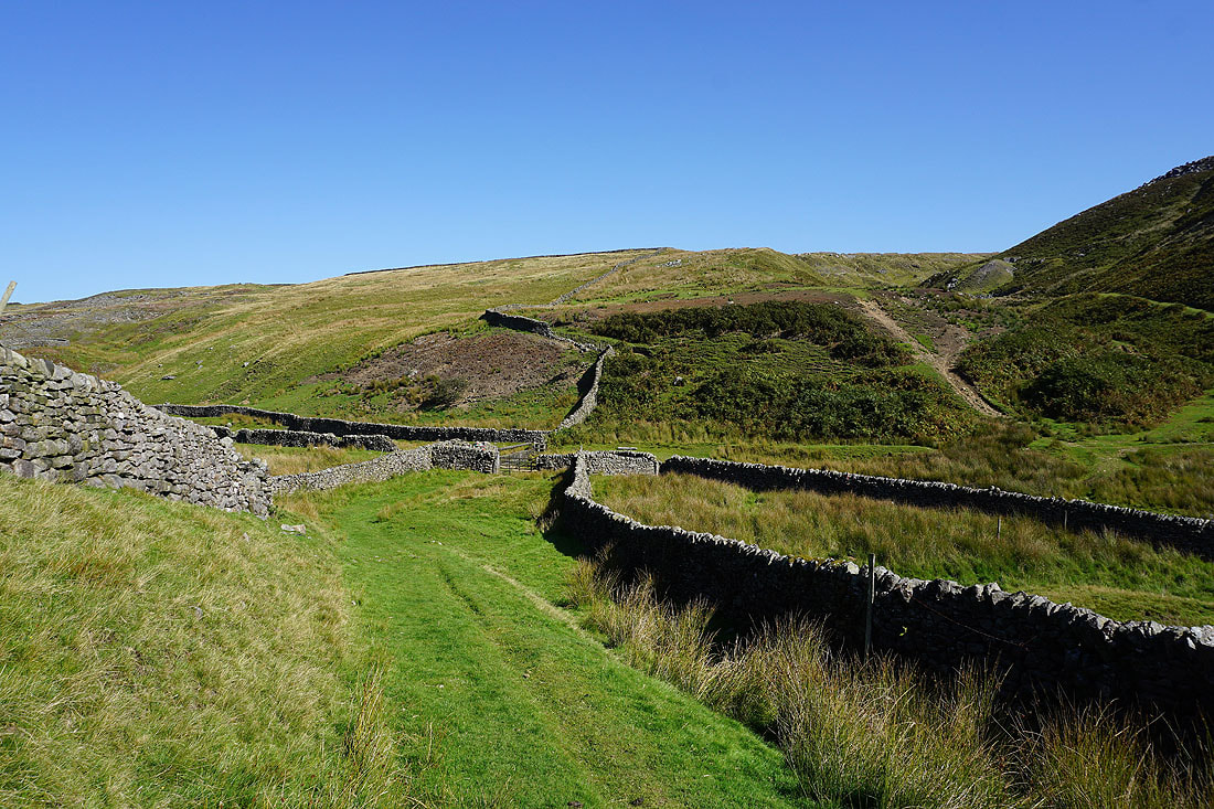
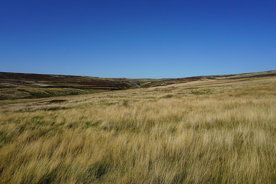
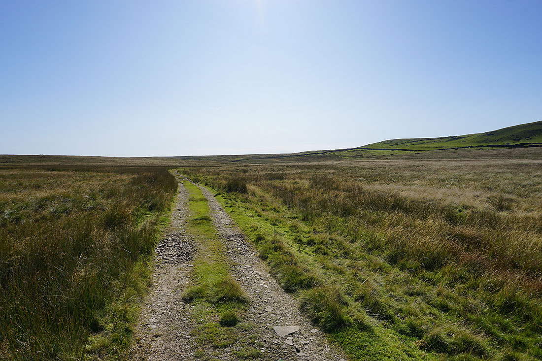
Following the track north to the top of Mossdale
The southern end of Great Whernside above
At the top of Mossdale and I take the bridleway to Wharfedale
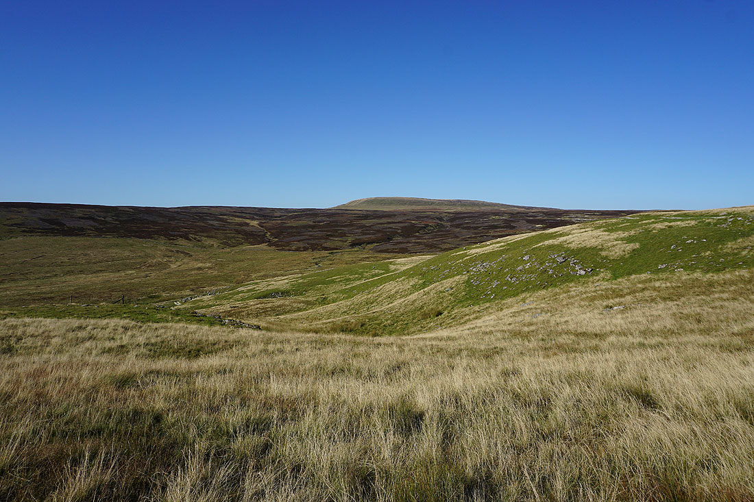
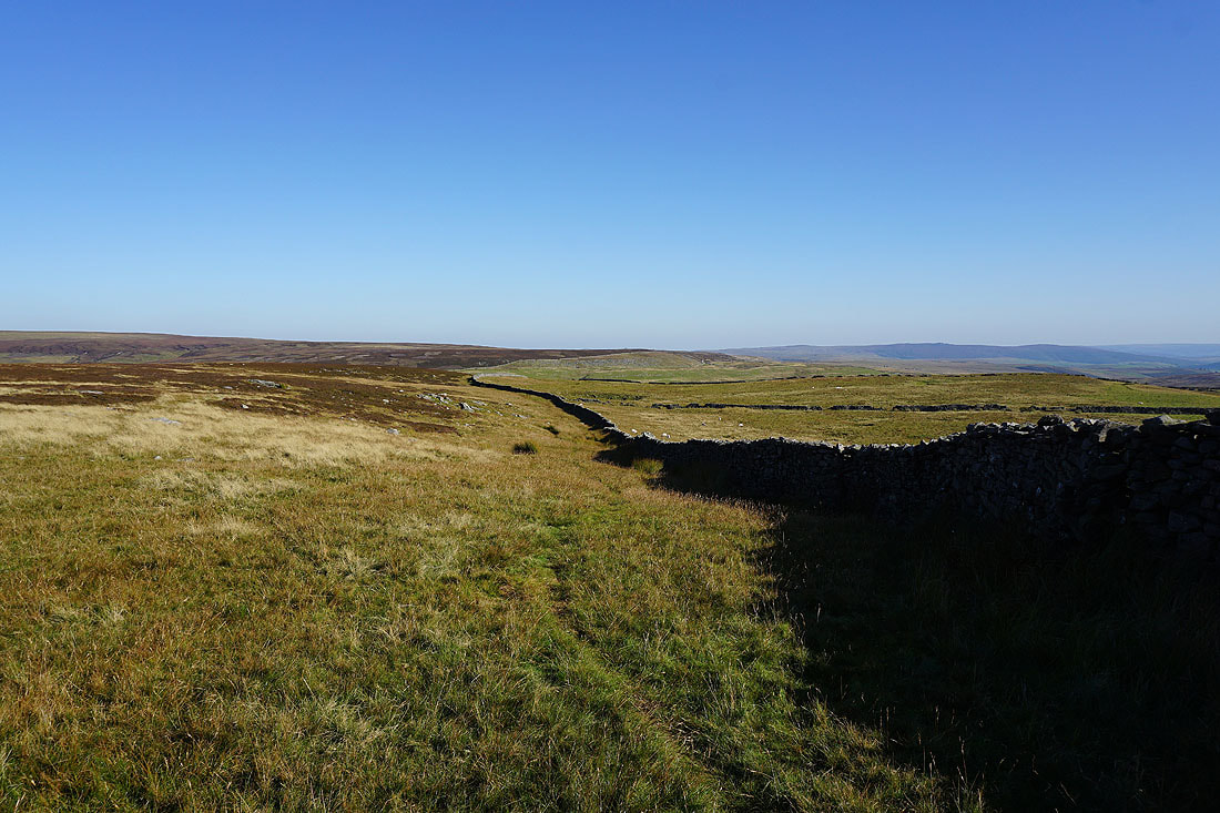
Looking back to the moorland around Mossdale and Black Edge
Great views across Wharfedale to Malham Moor and Kilnsey Moor..
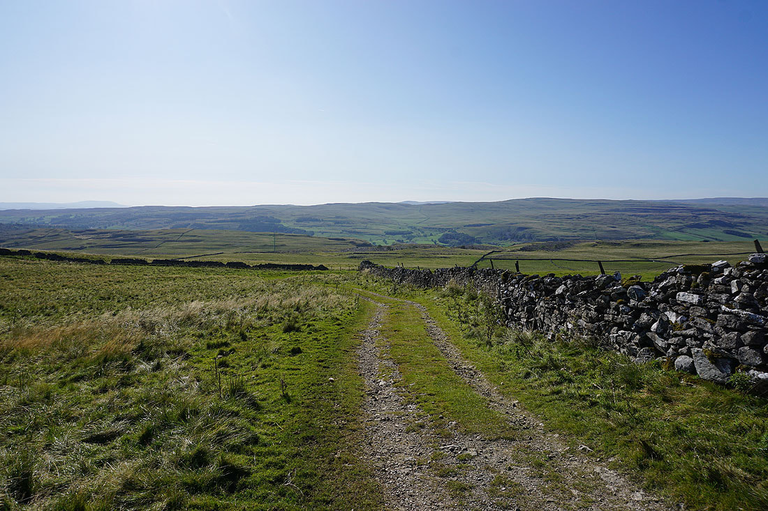
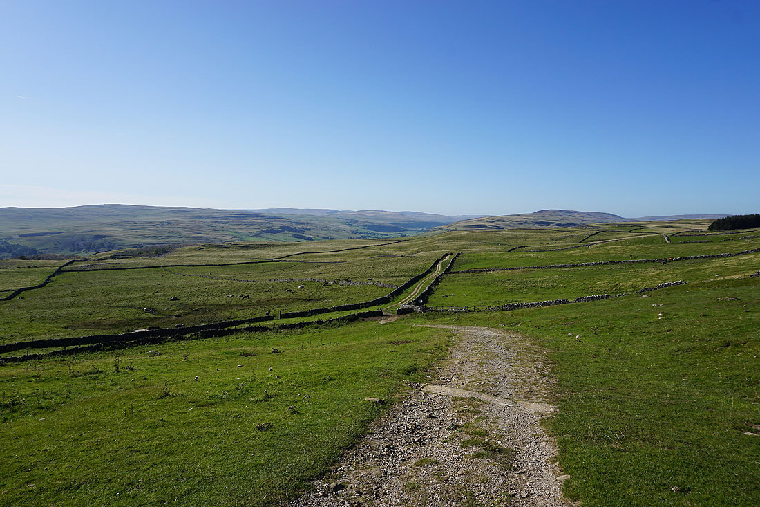
..and up the valley to the moors around Littondale, as I follow the bridleway down to the track of Bycliffe Road
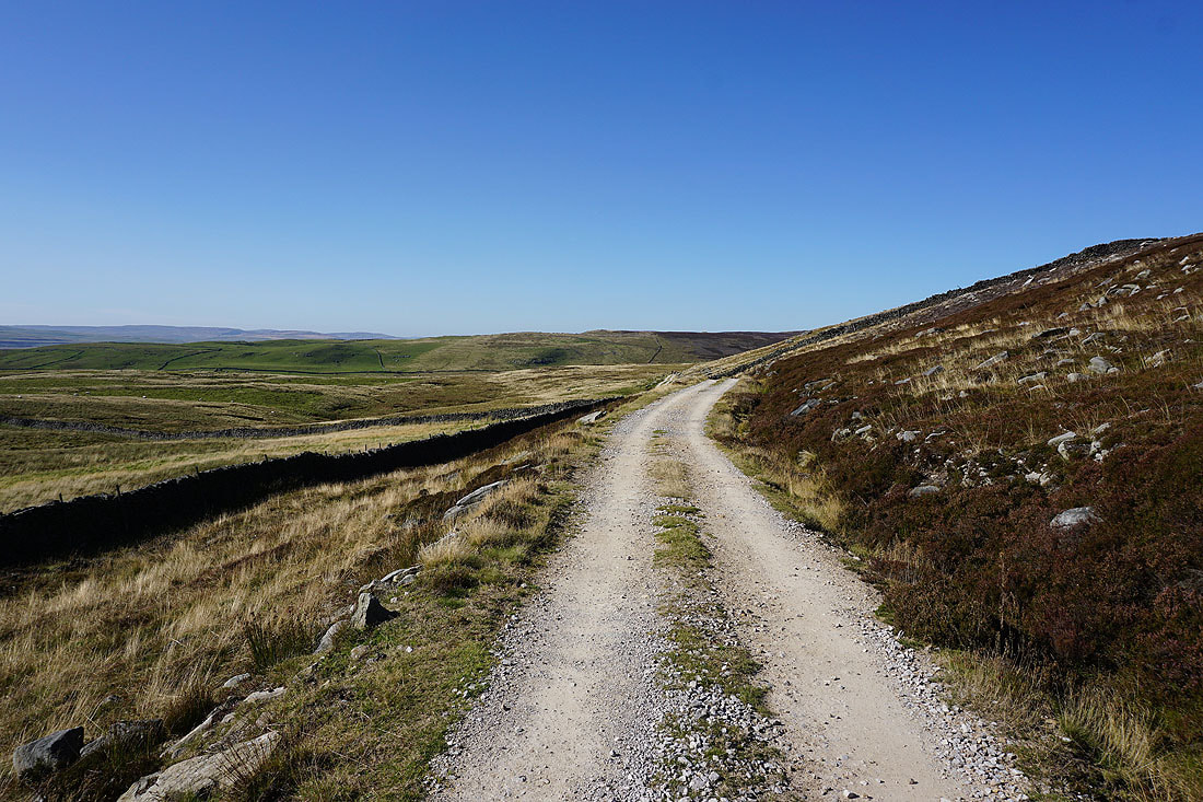
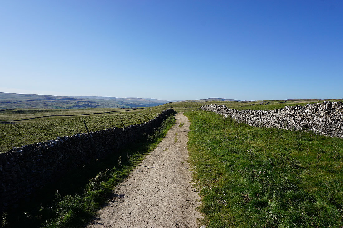
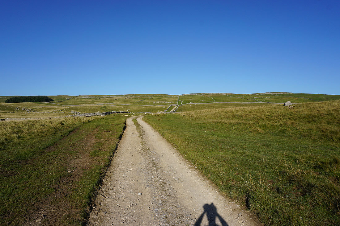
On the track of Bycliffe Road
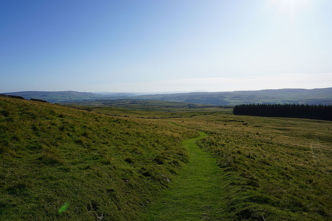
Looking down Wharfedale to Barden Moor from the Conistone Turf Road path..
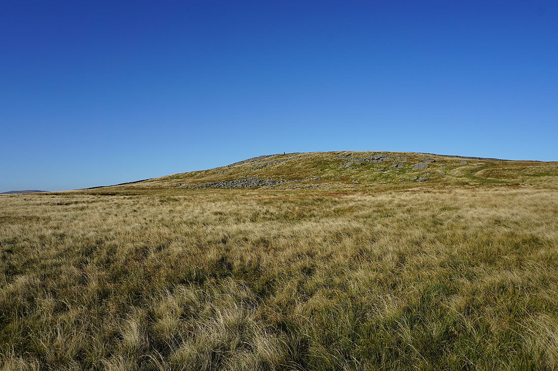
..which I'm following up to the trig point on Capplestone Gate
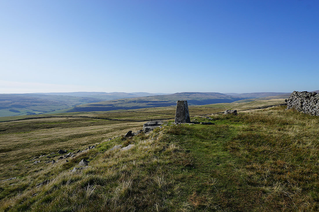
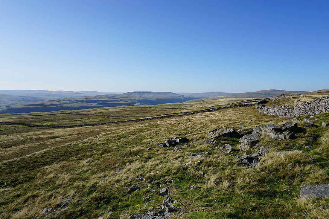
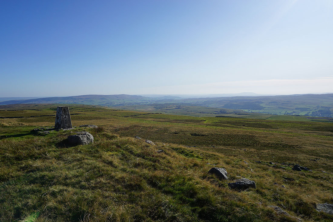
At the trig point on Capplestone Gate with a fantastic view northwest across the moors around Littondale and upper Wharfedale. I can make out Fountains Fell, Darnbrook Fell, Plover Hill and Birks Fell.
If I go around the other side of the trig point Buckden Pike appears on the right
Barden Moor and Wharfedale
Barden Fell and Barden Moor in the distance
The southern end of Great Whernside
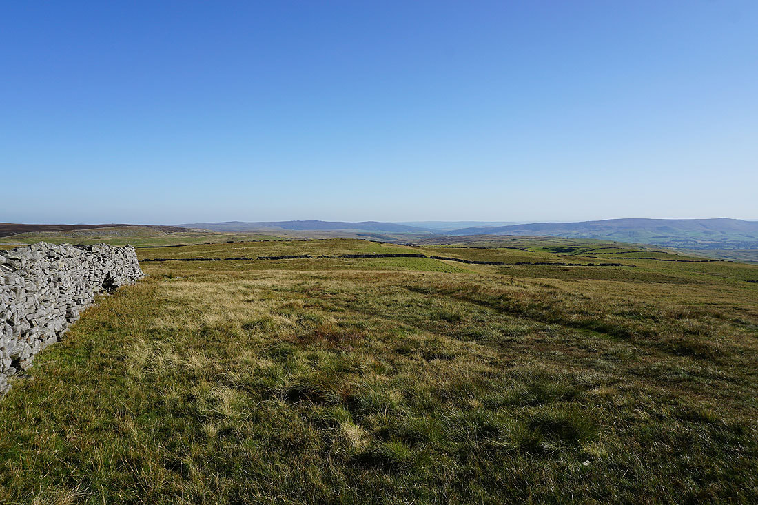
Another shot across Wharfedale from the other side of the wall
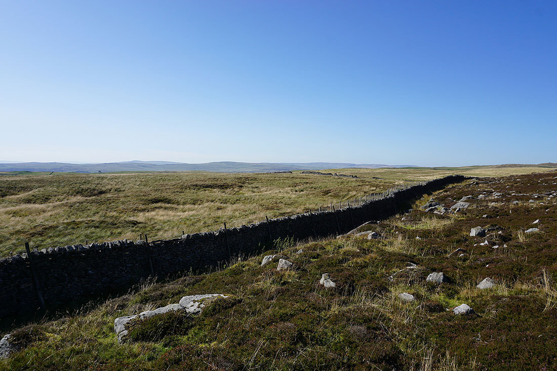
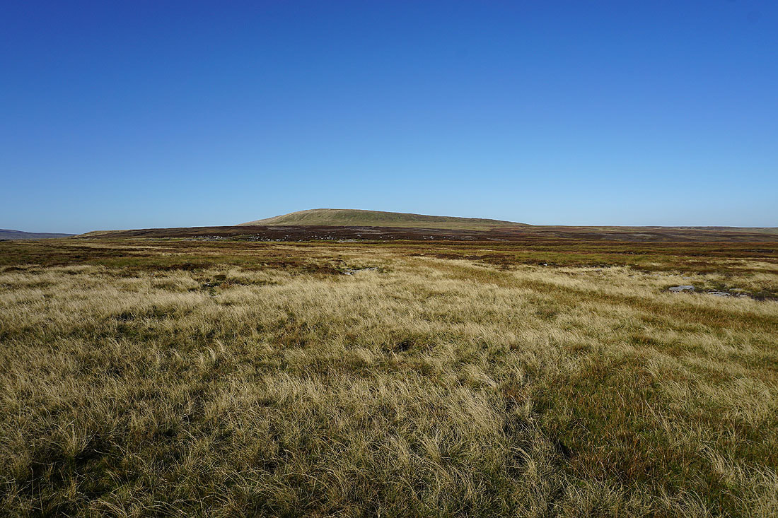
Grassington Moor and Black Edge
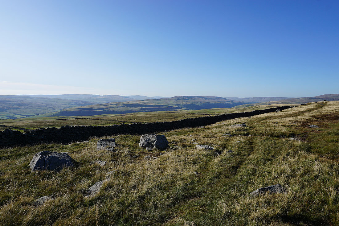
Leaving the trig point behind
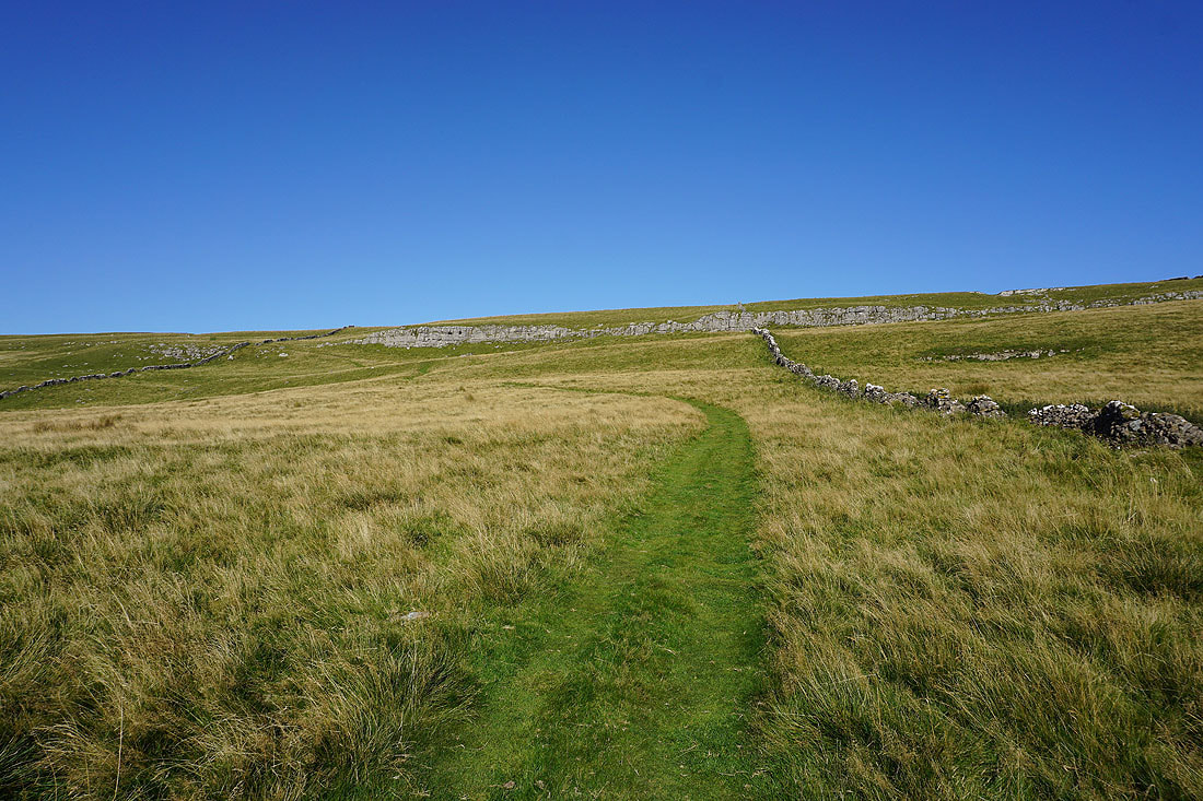
On the Conistone Turf Road back down to Bycliffe Road
Looking back up onto the limestone moorland from the bottom of Bycliffe Road
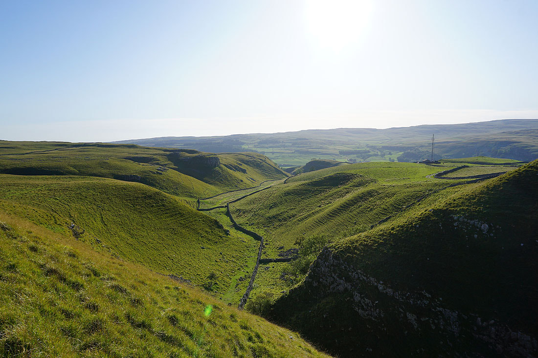
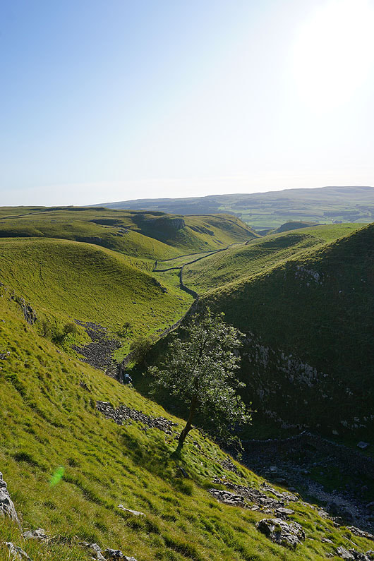
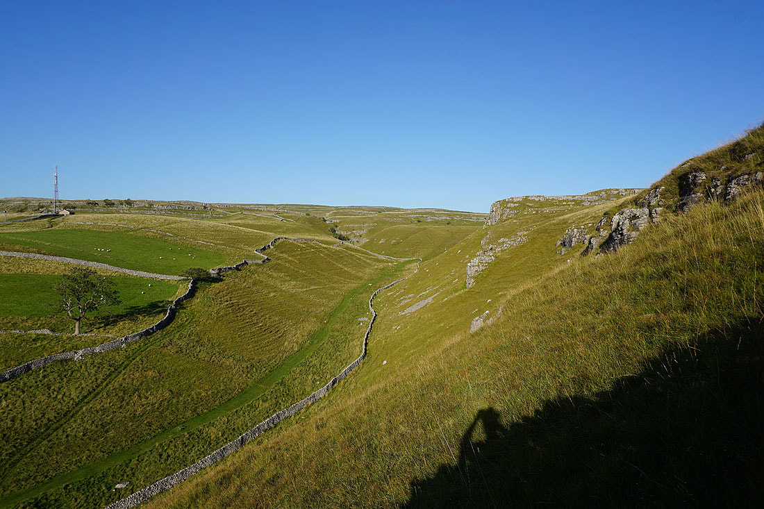
The view down Conistone Dib..
Bull Scar
Looking up Conistone Dib as I climb up onto the hillside of Davy Dimple
There's a fantastic view up Wharfedale to where Littondale joins it as I make my way to the edge of the hillside above Conistone...
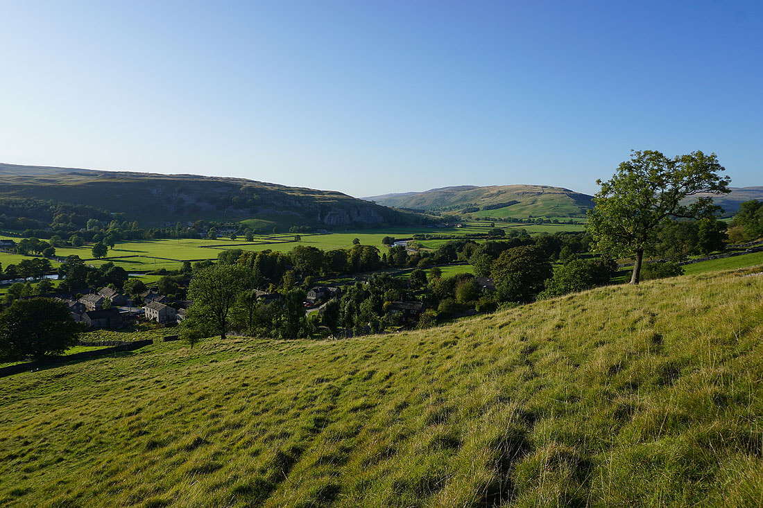
The view down Wharfedale. The large wood on the left is Grass Wood.
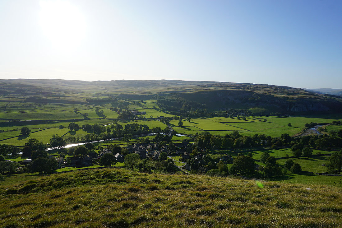
Conistone and Kilnsey, Kilnsey Moor and Kilnsey Crag
Kilnsey Crag in shadow on the other side of the dale as I head down to Conistone
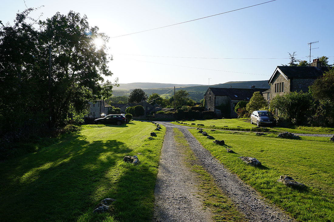
A lovely end to the afternoon for my return to Conistone
