22nd April 2015 - Easington Fell
Walk Details
Distance walked: 8.8 miles
Total ascent: 1368 ft
OS map used: OL41 - Forest of Bowland & Ribblesdale
Time taken: 4.5 hrs
Route description: Slaidburn-Holmehead Bridge-Bell Sykes-Lower High Field-Higher High Field-Field Head-B6478-Broadhead Farm-Skelshaw Farm-Fell Side Farm-Easington Fell-Standridge Hill-Smelfthwaites-Meanley-Newton Bridge-River Hodder-Slaidburn
Another beautiful spring day with warm sunshine and great visibility. I decided to head to Slaidburn and do a walk that I first did on a similar day in the middle of May last year. This time I extended the walk a little by taking in some of the countryside to the north of the village. I think I enjoyed this one even more, I knew the route better and I had more time to take in the scenery, especially the riverside bit from Newton-in-Bowland back to Slaidburn.
After enjoying a bacon butty and cup of tea in the Riverbank Tearooms I set off by making my way into Slaidburn and turning right at the T-junction at the war memorial. After crossing the bridge over Croasdale Beck I took the footpath on the right over the fields to Holmehead Bridge. On its other side I followed the track up to Bell Sykes Farm, then the footpath past Lower High Field, Higher High Field and Field Head to the B6478. I went straight across the road, then right and along the lane to Broadhead Farm. I then went down the drive to Broadhead Farm, through the farmyard and across fields to Skelshaw Farm. A track then continues to Fell Side farm and up onto Easington Fell. I followed the track across the fell until it reaches the Waddington to Newton road. I then made my way across to Standridge Hill, down its northern slope into the Hodder valley and off access land to Smelfthwaites Farm. I went through Smelfthwaites, down a track to a lane and then a path took me down to the Hodder at Newton Bridge. After crossing Newton Bridge a riverside walk took me back to Slaidburn.
Route map
© Crown copyright. All rights reserved. License number PU 100034184.
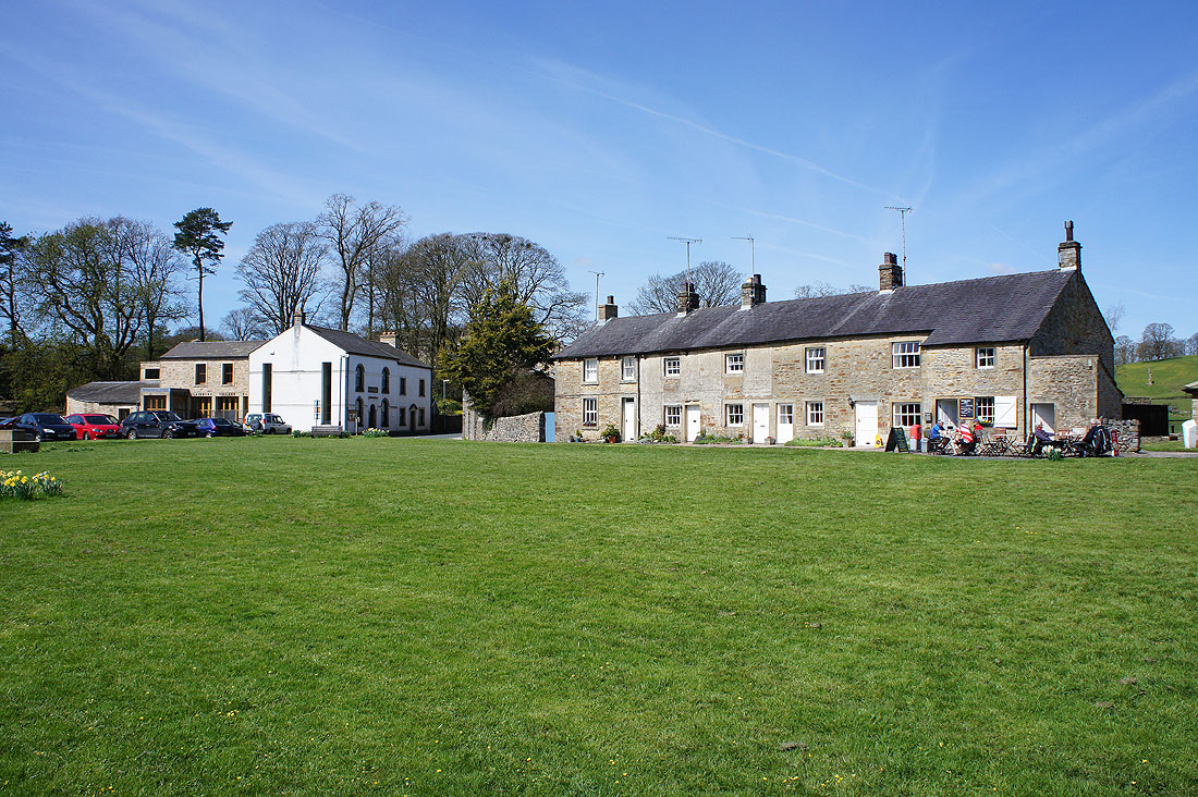
Lunchtime in Slaidburn and it's a lovely day. I've had a bite to eat and a mug of tea at the Riverbank Tearooms so it's about time that I set off.
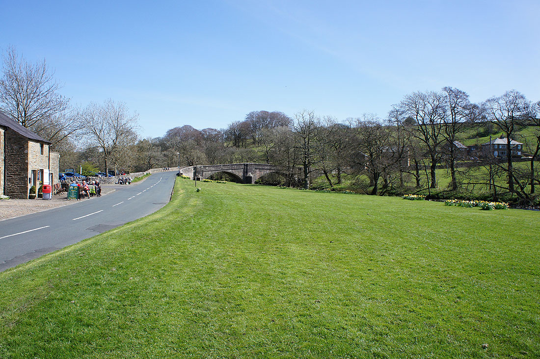
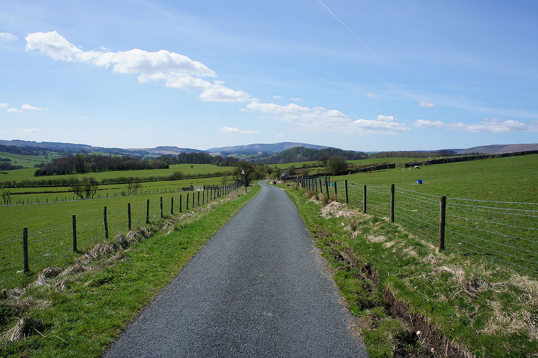
Into the village and..
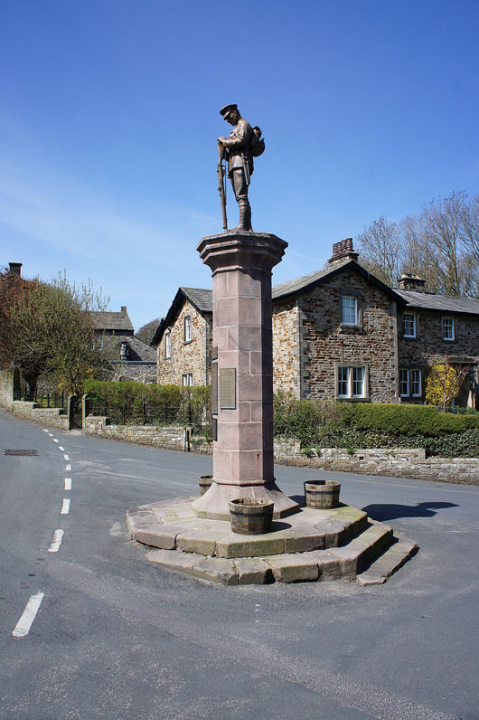
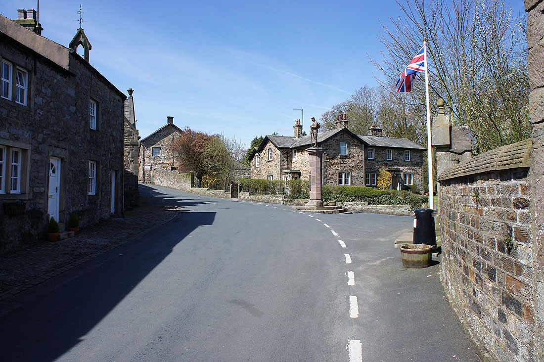
..turn right at the war memorial
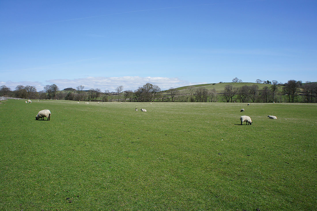
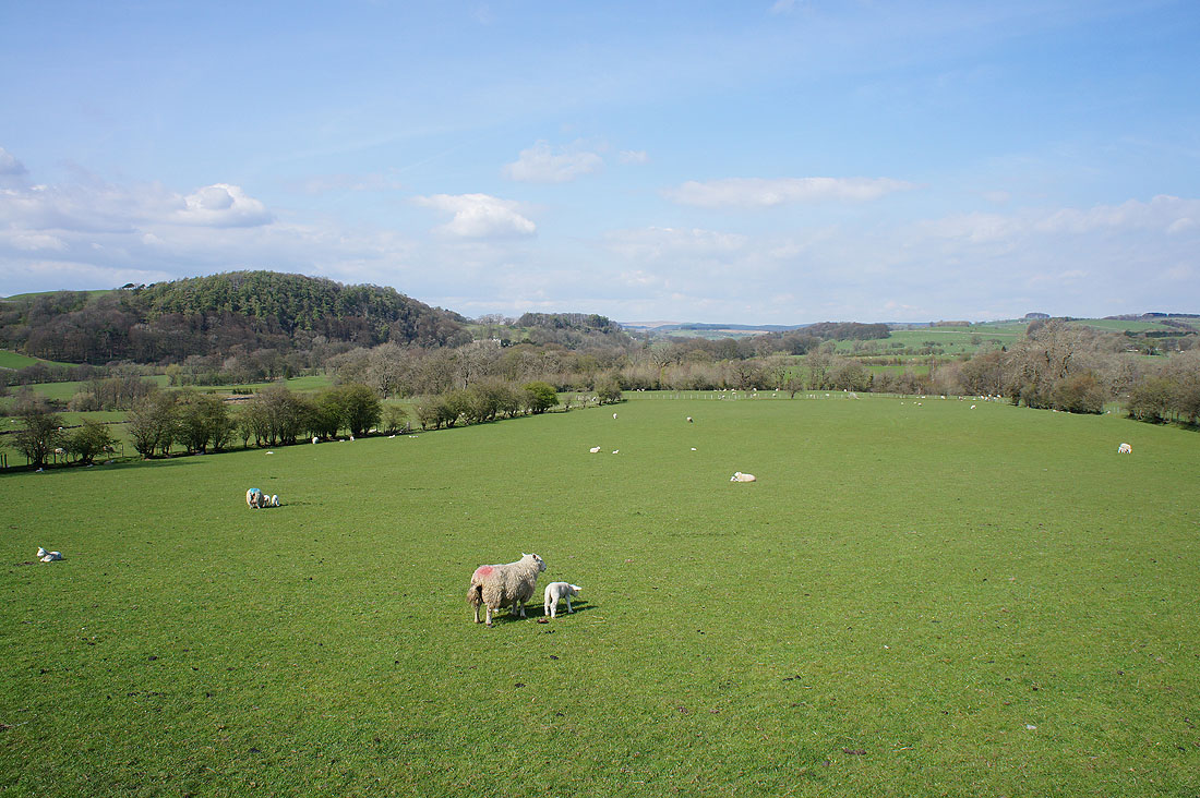
Fields to cross to reach..
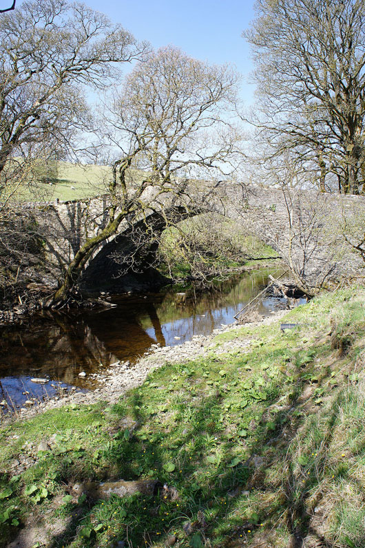
..Holmehead Bridge over the Hodder
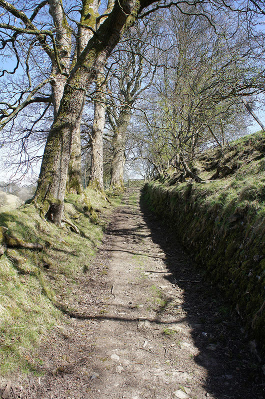
A lovely old sunken way as I head uphill from Bell Sykes Farm
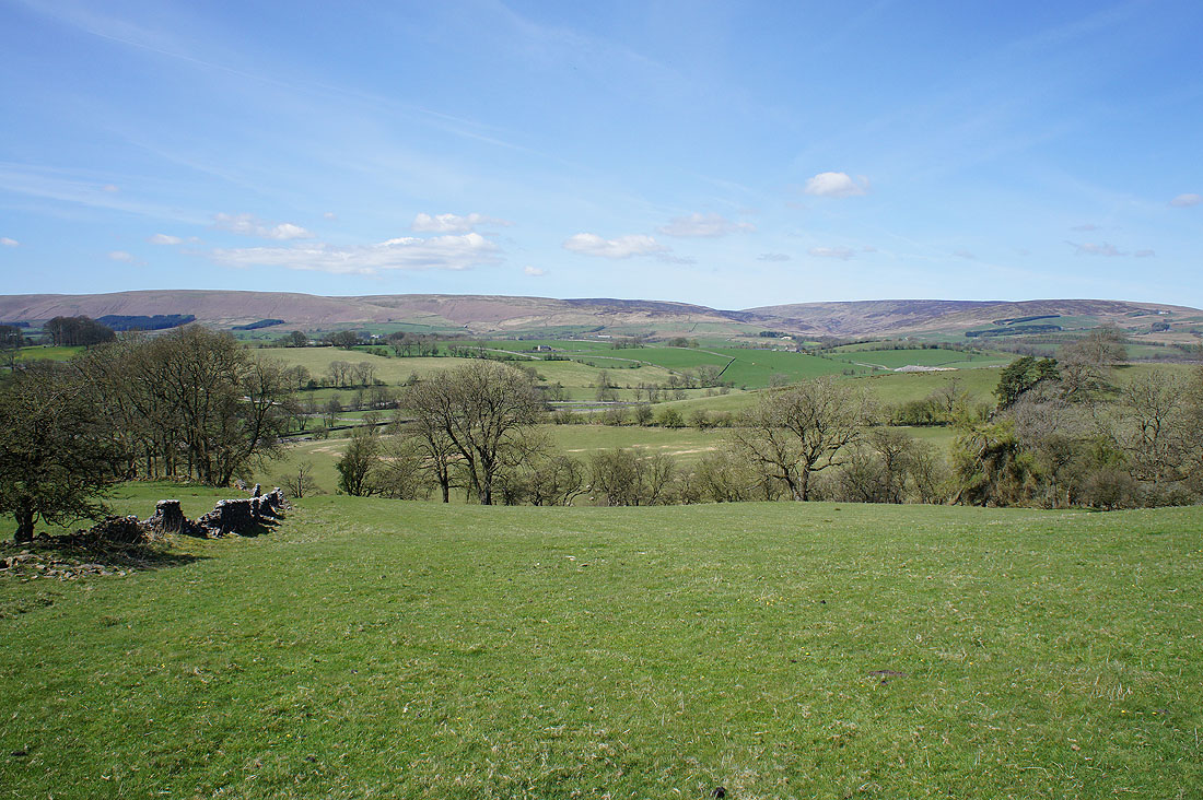
and when I turn round a great view of Burn Fell, Dunsop Fell and White Hill
Totridge and Burn Fell from Field Head
More great views as I follow the lane to Broadhead Farm. Burn Fell, Dunsop Fell and White Hill.
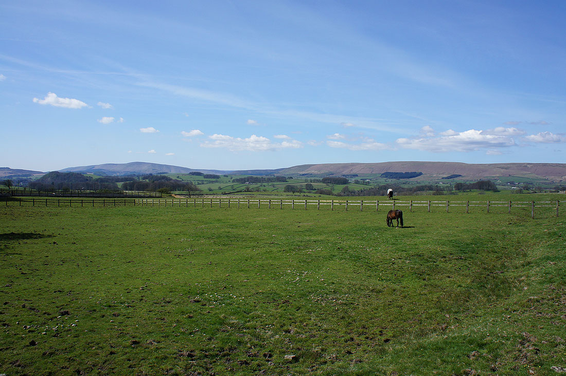
White Hill, Catlow Fell and Bowland Knotts
Totridge ahead
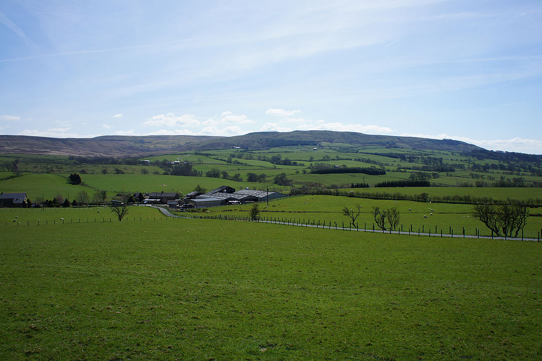
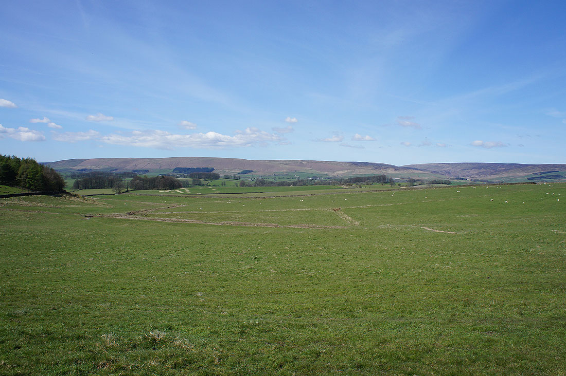
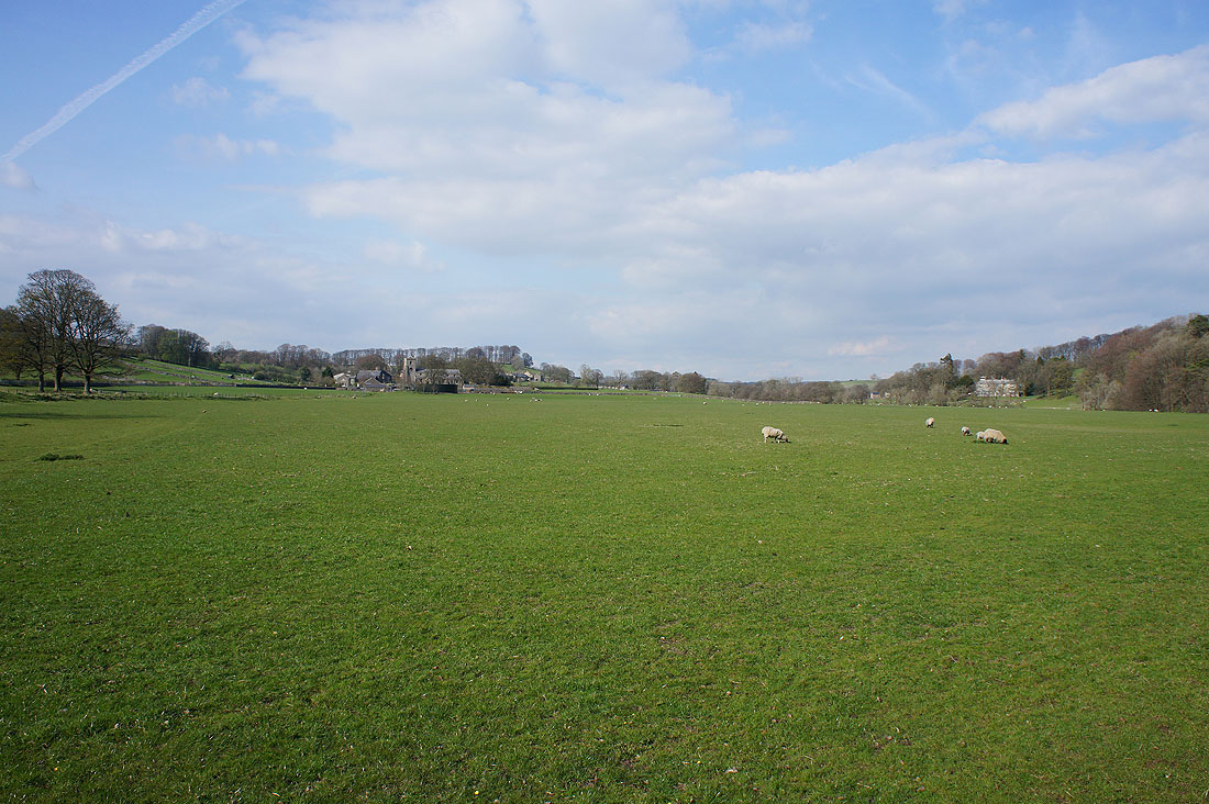
Broadhead Farm backed by Easington Fell
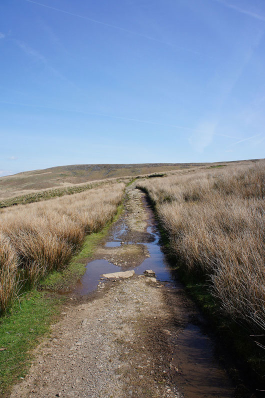
Past Fell Side Farm and onto the track up Easington Fell
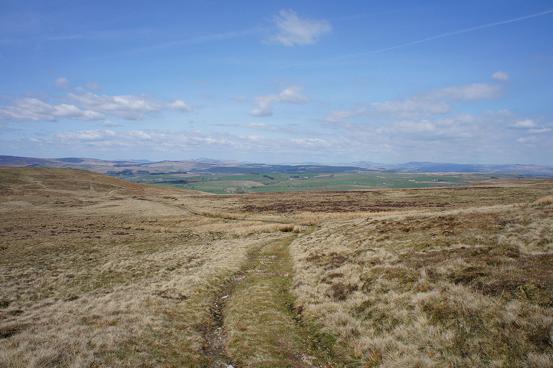
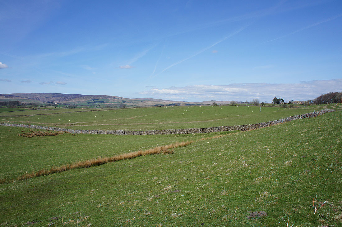
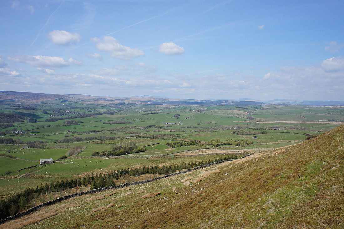
Turning round and I can now see Ingleborough, Penyghent and Fountains Fell in the Yorkshire Dales
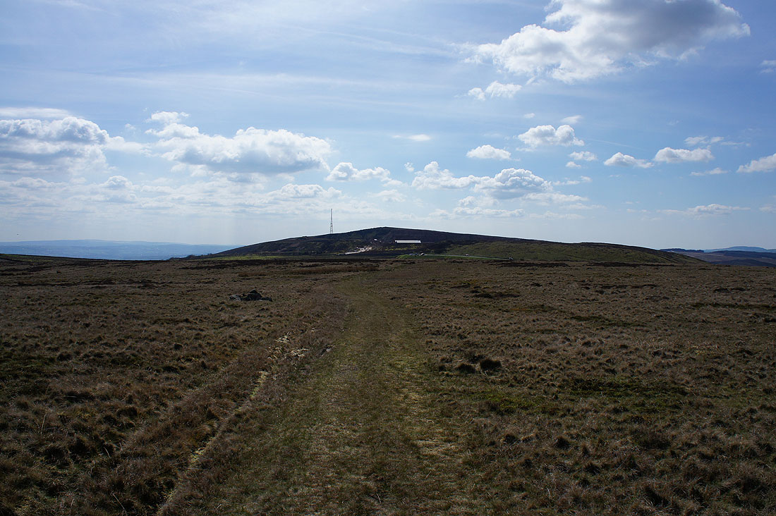
Approaching the Waddington to Newton road and the quarry on top of the fell
Parlick, Fair Snape Fell and Totridge as the track curves round
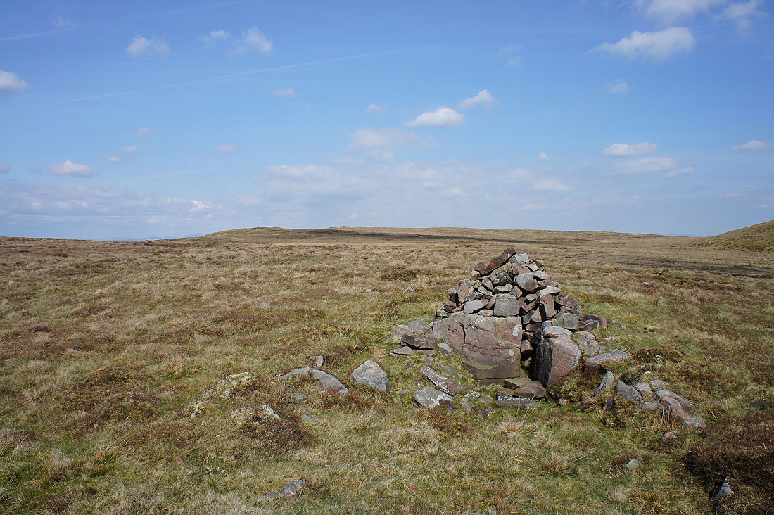
The cairn on Standridge Hill. An appropriate place to take a break.
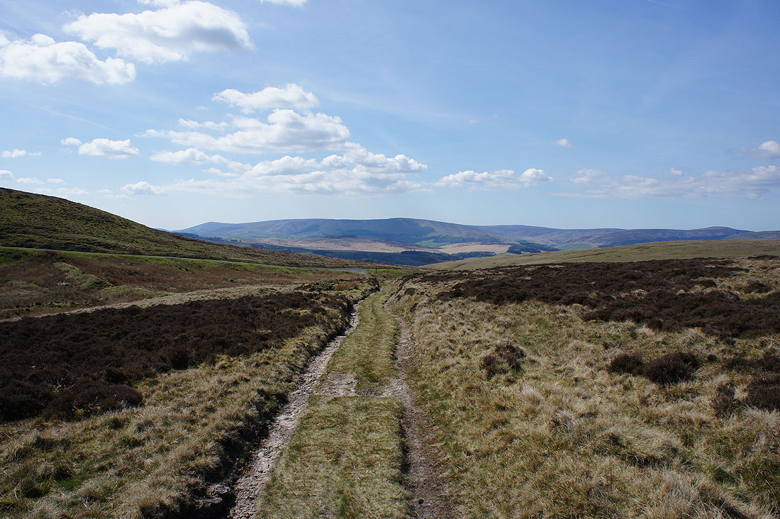
As I reach the northern edge of the fell a fantastic view of Hodder country reveals itself. Parlick, Fair Snape Fell, Totridge and the countryside around Dunsop Bridge.
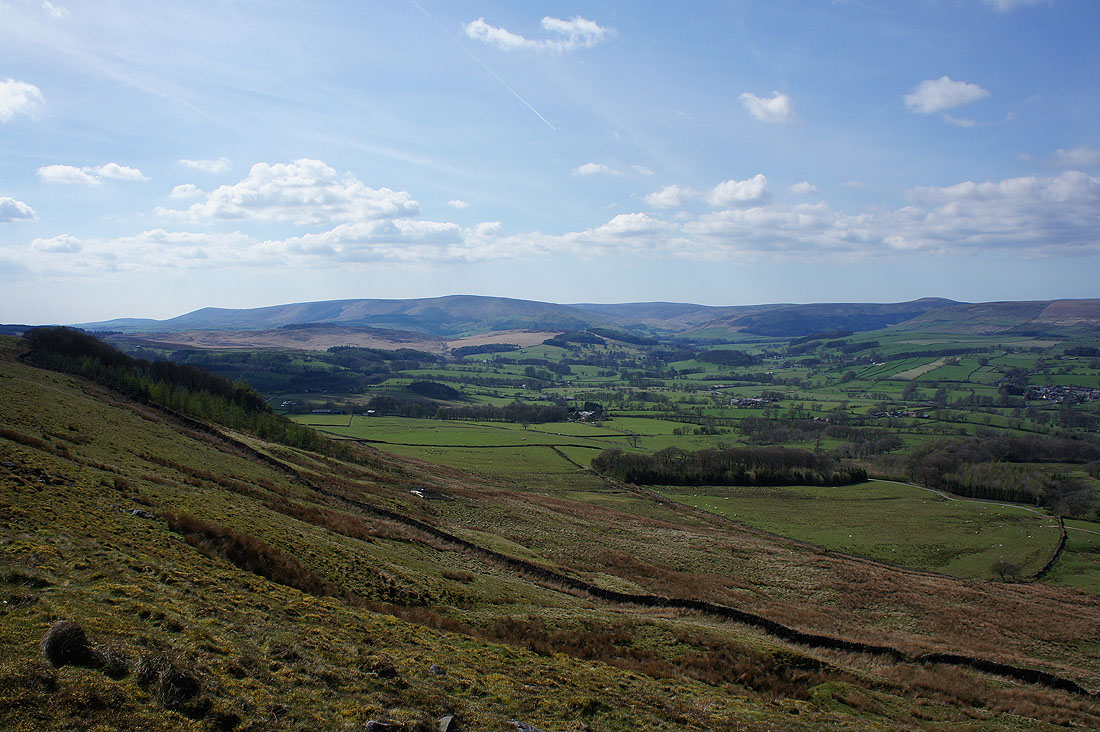
The rounded top of Whins Brow, Burn Fell, Dunsop Fell and White Hill with Newton-in-Bowland in the valley below
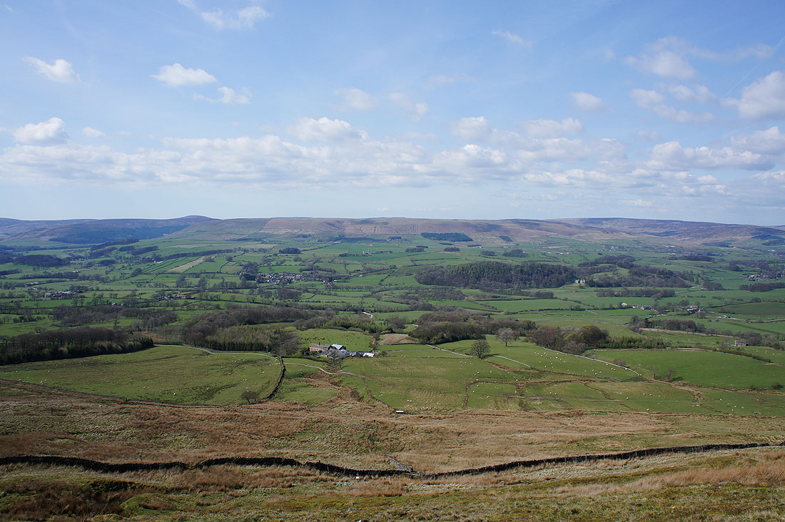
Slaidburn, Catlow Fell, Bowland Knotts and Gisburn Forest with Ingleborough and Penyghent in the distance
A very pleasant pastoral scene as I head down to the Hodder
Looking back up to Easington Fell
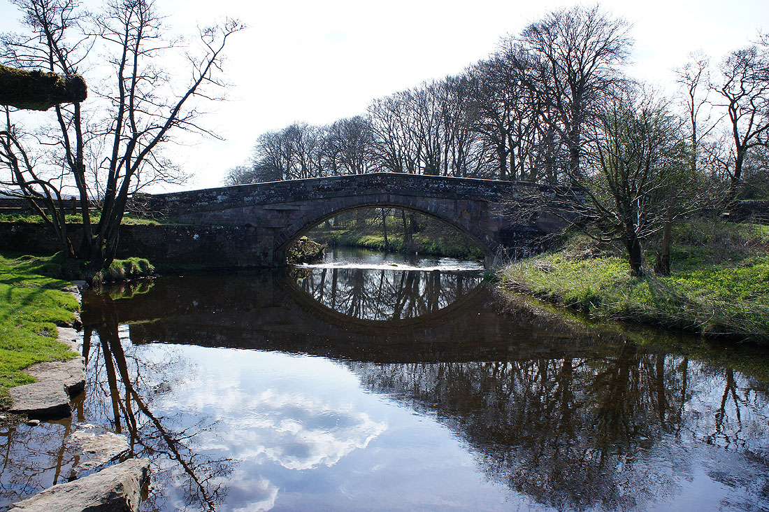
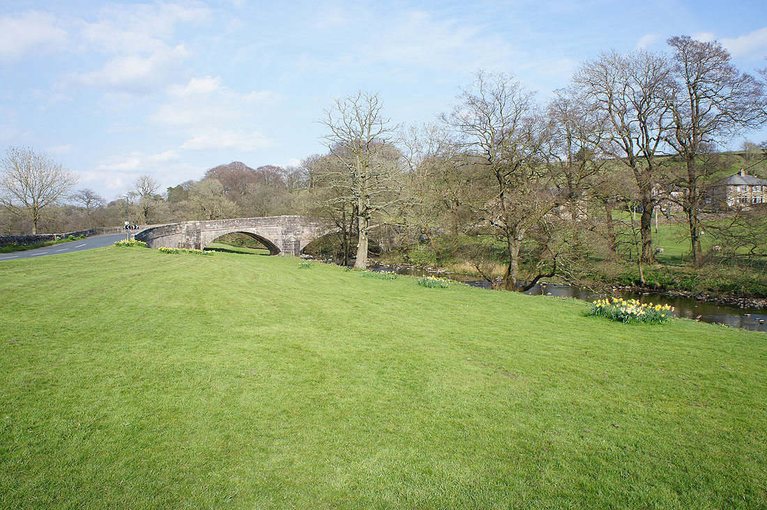
By the Hodder at Newton Bridge
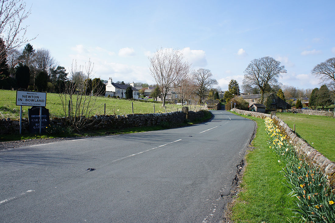
Newton-in-Bowland. I'm not going that way though but along the path by the north bank of the Hodder back to Slaidburn.
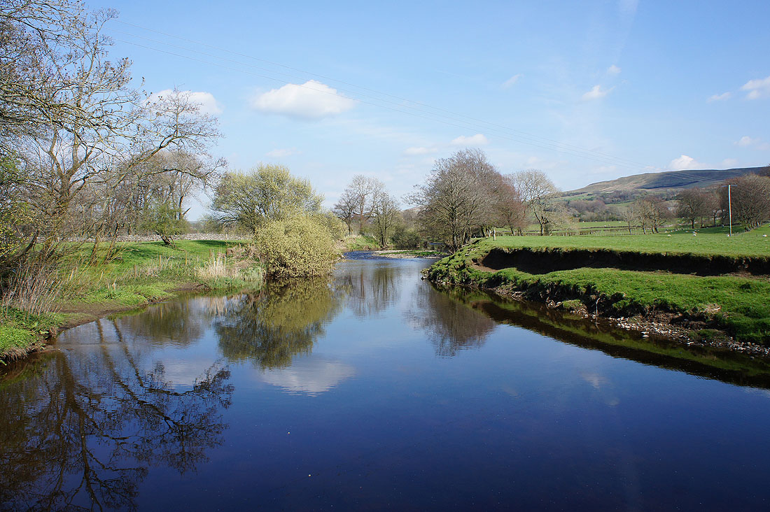
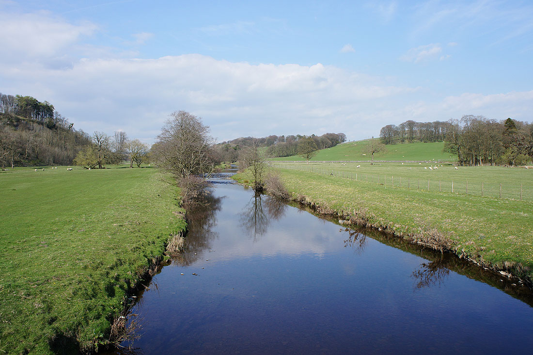
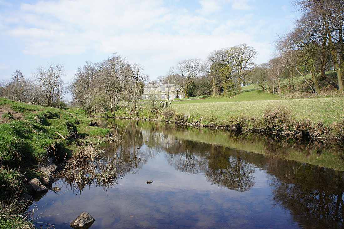
I'm soon treated to this fantastic view at the first bend in the river
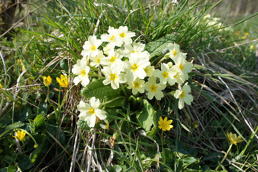
Lots of primroses in flower
A footbridge gives me a chance to take a photo looking upstream..
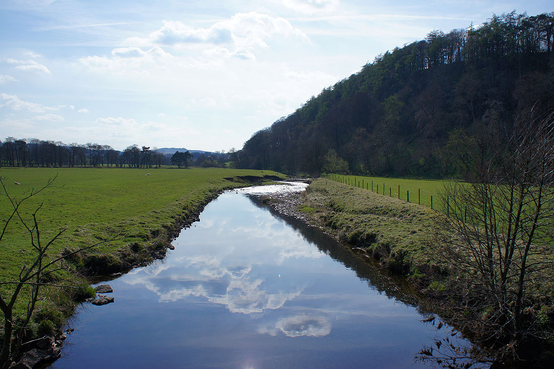
..and downstream
At times the river flows gently and I can see numerous small fish swimming, which I assume are baby brown trout, along with the odd adult one
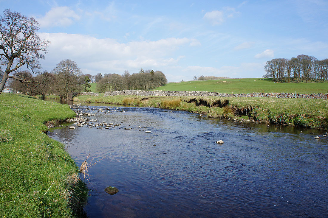
The river flows more quickly over gravel shallows
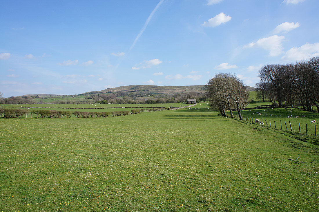
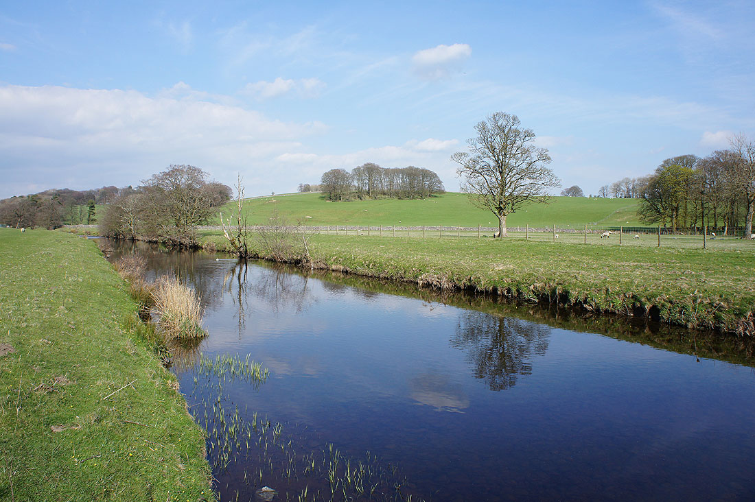
Slaidburn across the fields
A last photo from by the river with great reflections in its calm waters
Back in Slaidburn