22nd April 2023 - Thursden to Widdop and back
Walk Details
Distance walked: 10.3 miles
Total ascent: 1874 ft
OS map used: OL21 - South Pennines
Time taken: 5 hrs
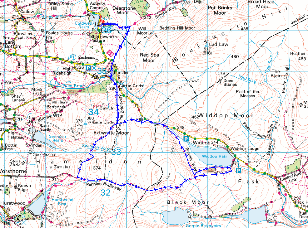
Route description: Lower Coldwell Reservoir-Pendle Way-Pennine Bridleway-Thursden-Gorple Gate-Cludders Slack-Widdop Reservoir-Pennine Bridleway-Burnley Way-Extwistle Moor-Pennine Bridleway-Thursden-Pennine Bridleway-Pendle Way-Lower Coldwell Reservoir
At one point it was looking like the weather this weekend would be too poor for me to get out for a walk, but the forecast for this afternoon improved to be mostly dry but cloudy, so I decided to head out for a walk on my local South Pennines moors. The route I went for was a shorter version of one that I've used to take in Widdop and Boulsworth Hill, familiar territory, although I hadn't walked along the Burnley Way above Widdop Reservoir before. After setting off from by Lower Coldwell Reservoir under grey and overcast skies, the weather improved during the afternoon as the cloud broke up to give a bit of sunshine.
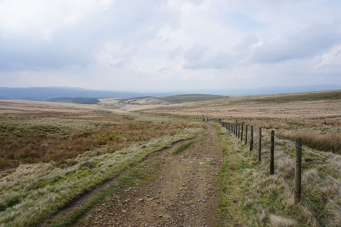
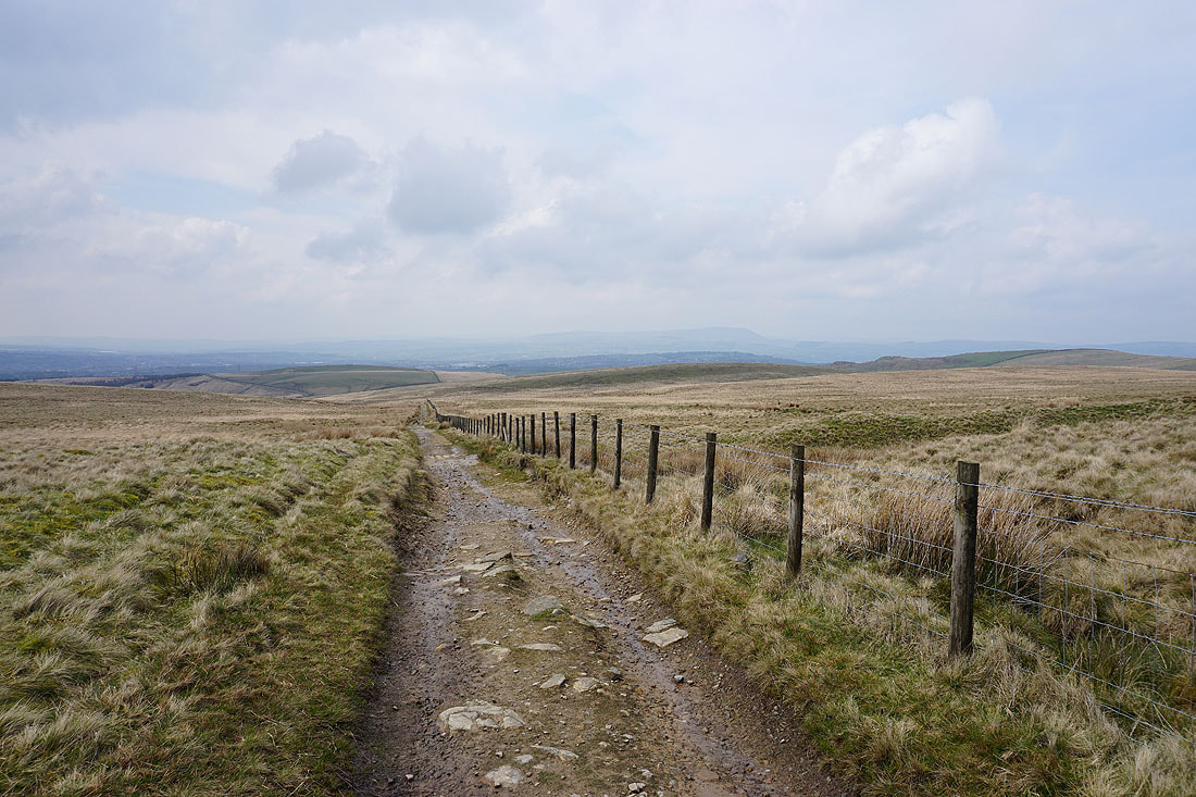
After parking on the roadside by Lower Coldwell Reservoir I took the trail of the Pendle Way and followed it east until it met the Pennine Bridleway. I then turned right and followed the Pennine Bridleway south until I reached the road down into the Thursden Valley, which I took down to a left hand bend where the Pennine Bridleway then went down through woodland to the road at the bottom of the Thursden Valley. After turning left I walked up the road to a junction where the Pennine Bridleway leaves as a track on the right, which I took and followed south across Extwistle Moor to the track of Gorple Road, where I turned left and followed this east up and over the moor (with a visit to Gorple Stones) to above Widdop Reservoir. I left the track here for a thin path along the top of the gritstone edge of Cludders Slack, before heading down to join the track again by Widdop Reservoir, which I followed uphill to take the trail of the Burnley Way on the right. The Burnley Way took me north above Widdop Reservoir and up to the top of the road across the moors, where I took a footpath on the left across Extwistle Moor to reach the Pennine Bridleway. I then retraced my steps back to Lower Coldwell Reservoir and where I was parked.
Route map
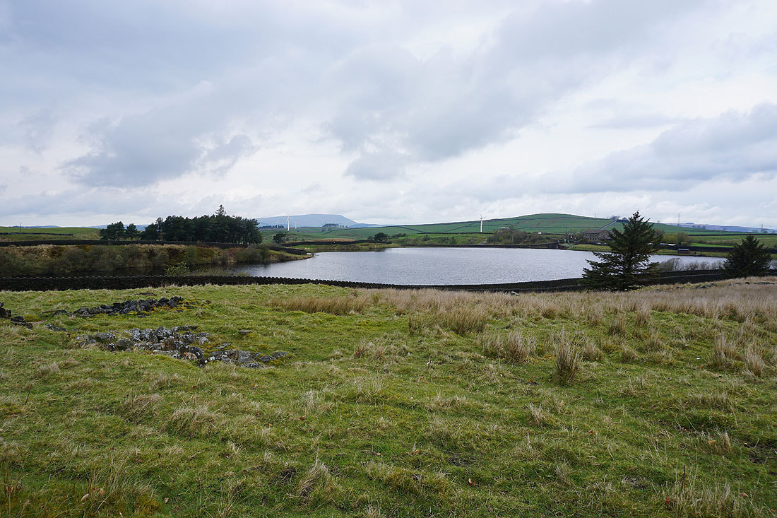
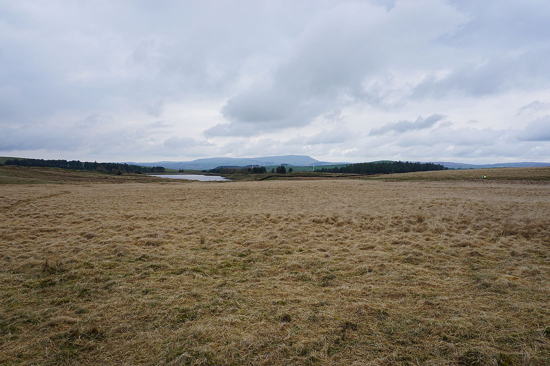
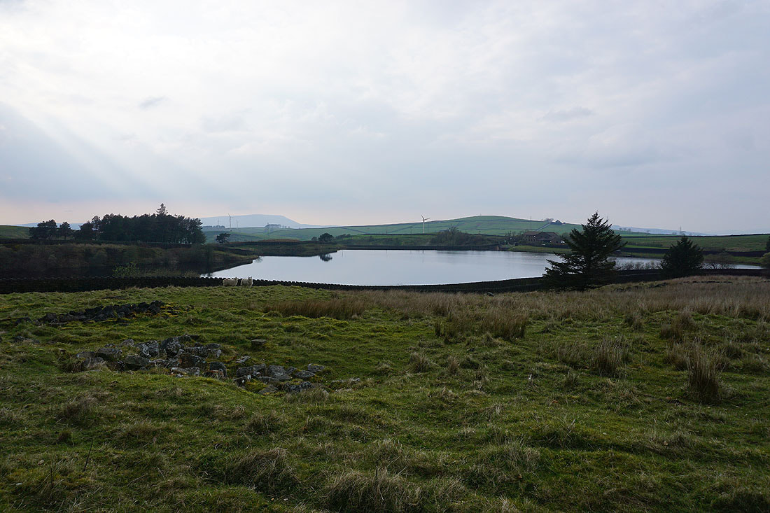
Looking back to Lower Coldwell Reservoir and Pendle Hill from the Pendle Way
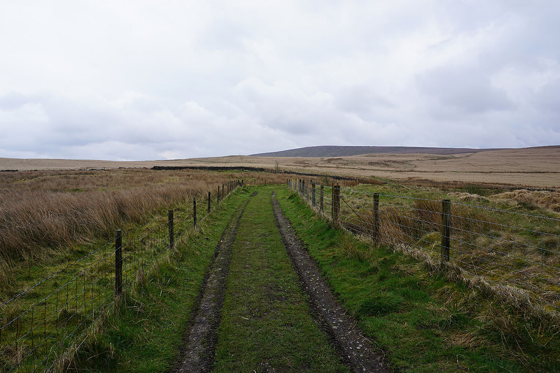
Boulsworth Hill ahead of me
Following the Pennine Bridleway south to the Thursden Valley
Upper Coldwell Reservoir and Pendle Hill to my right
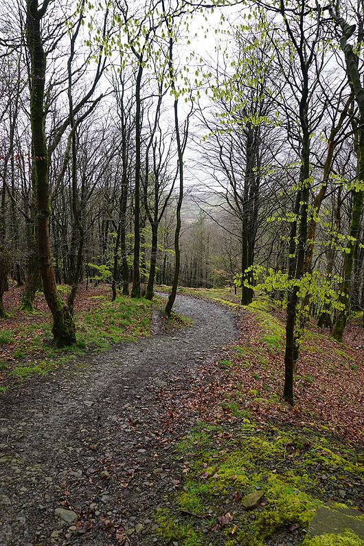
The bright green of new beech leaves as I follow the Pennine Bridleway down to Thursden
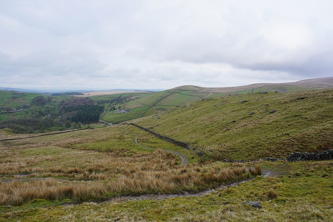
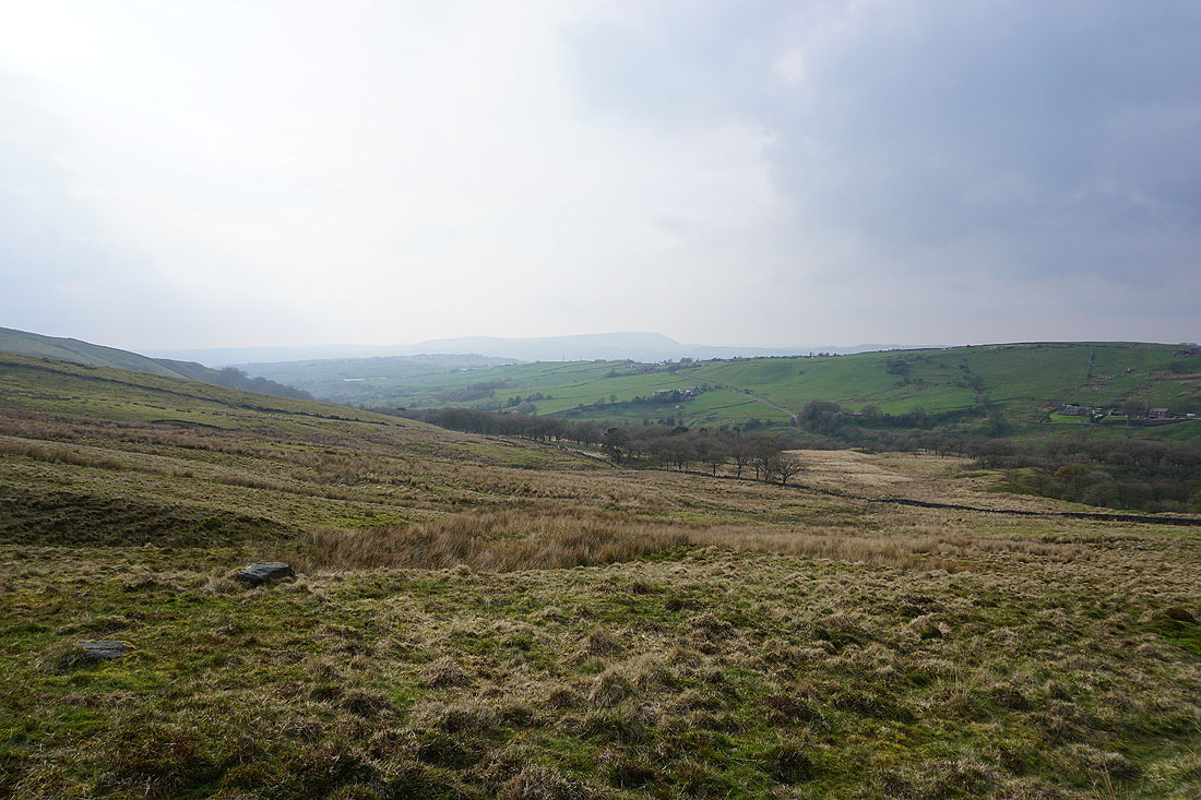
Pendle Hill and the Thursden Valley from the Pennine Bridleway up onto Extwistle Moor..
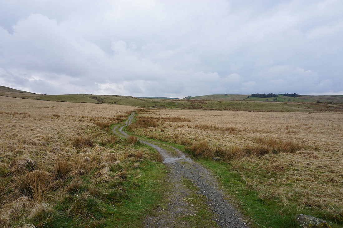
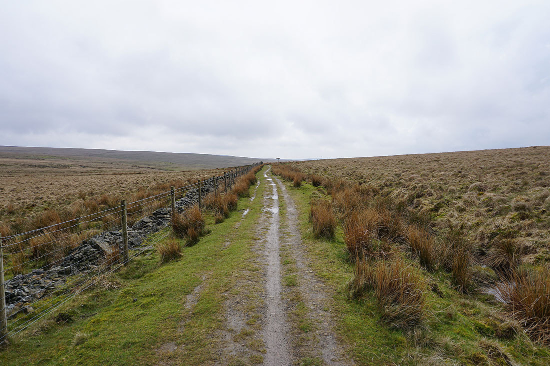
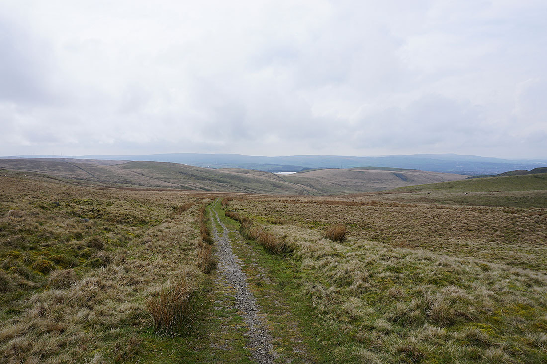
Following the Pennine Bridleway across Extwistle Moor and down into the valley of Swinden Water...
Hurstwood Reservoir and the moors around Cliviger as I reach the track of Gorple Road
I stay on the Pennine Bridleway as I join the track of Gorple Road
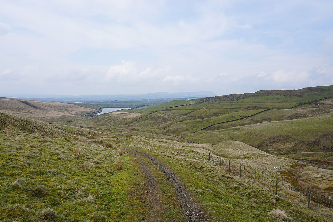
Looking back down Gorple Road towards Burnley, and higher up, Pendle Hill is now in view..
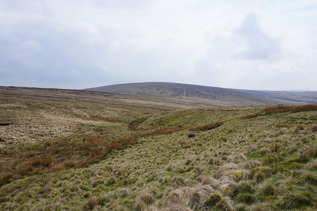
The hill of Hoof Stones Height rises to my right
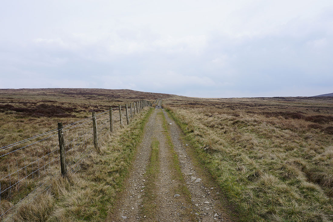
Onwards and upwards
Thieveley Pike, Cant Clough Reservoir and Hameldon Hill as I reach the top of the track
and again as I make the short diversion up to Gorple Stones
Gorple Upper Reservoir
Back onto and following the Pennine Bridleway beneath Gorple Stones
Gorple Upper Reservoir to my right
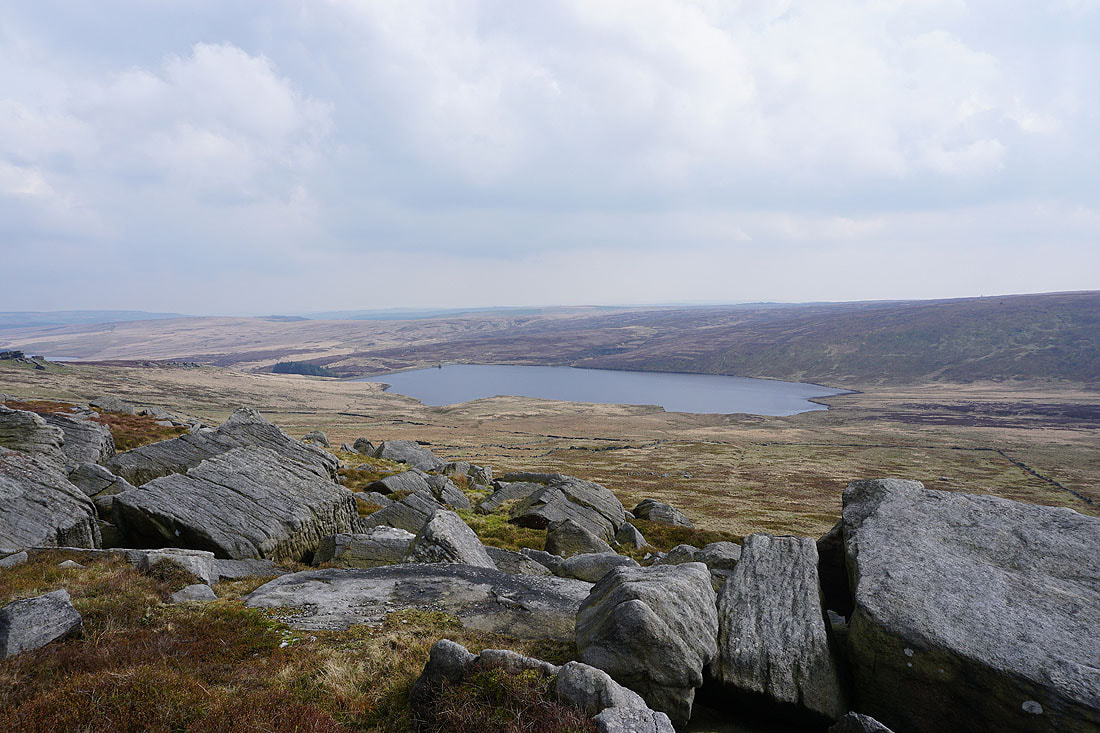
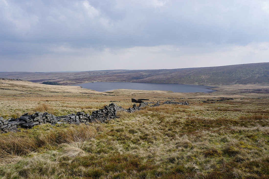
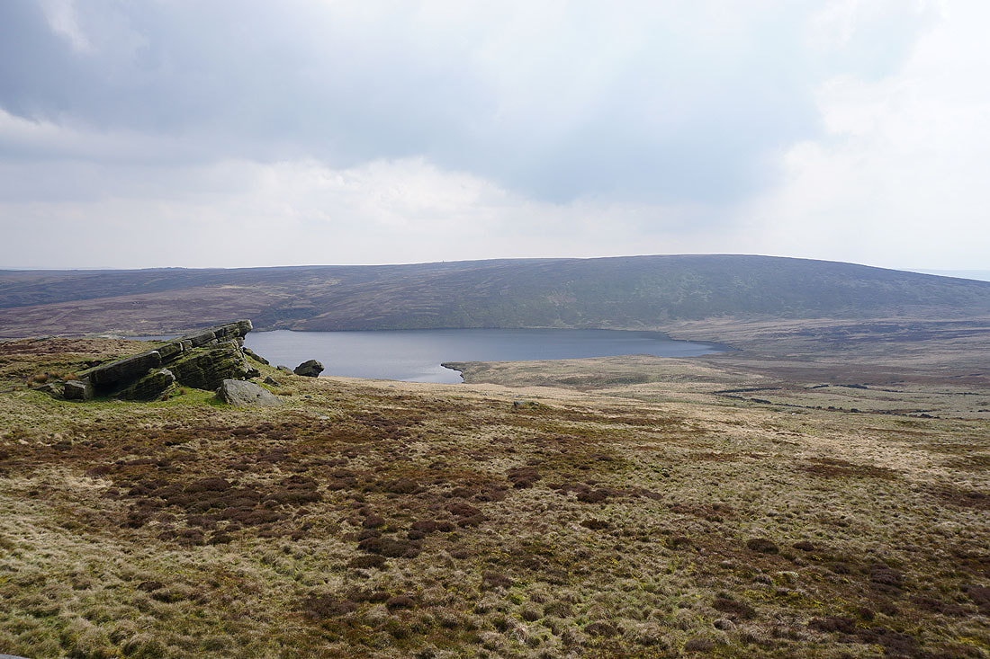
Gorple Upper Reservoir and Black Hameldon from Shuttleworth Rocks
and looking back to the Gorple Stones from Shuttleworth Moor
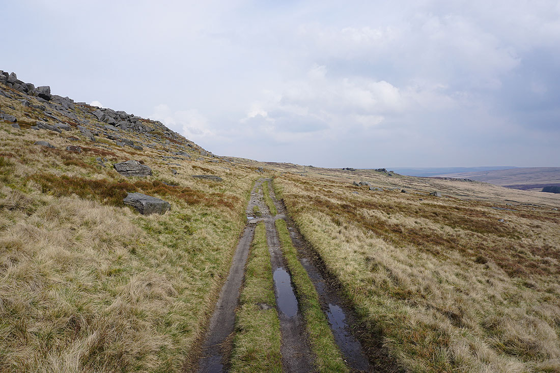
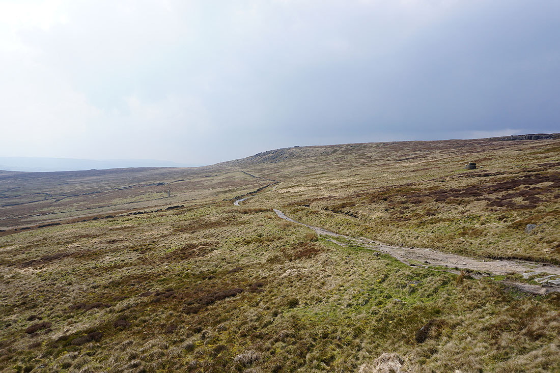
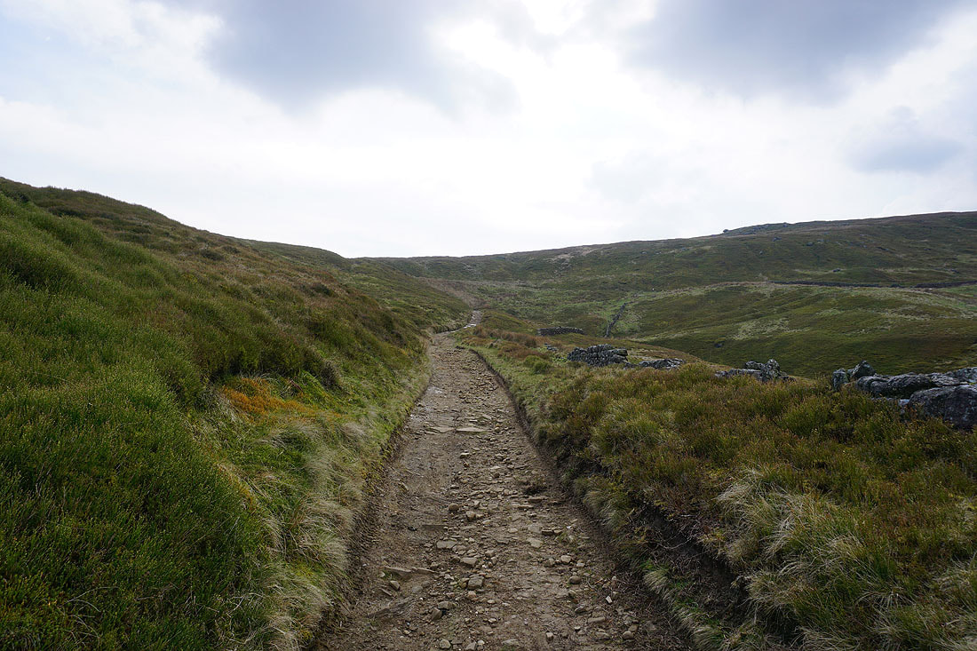
Following the Pennine Bridleway towards Widdop Reservoir
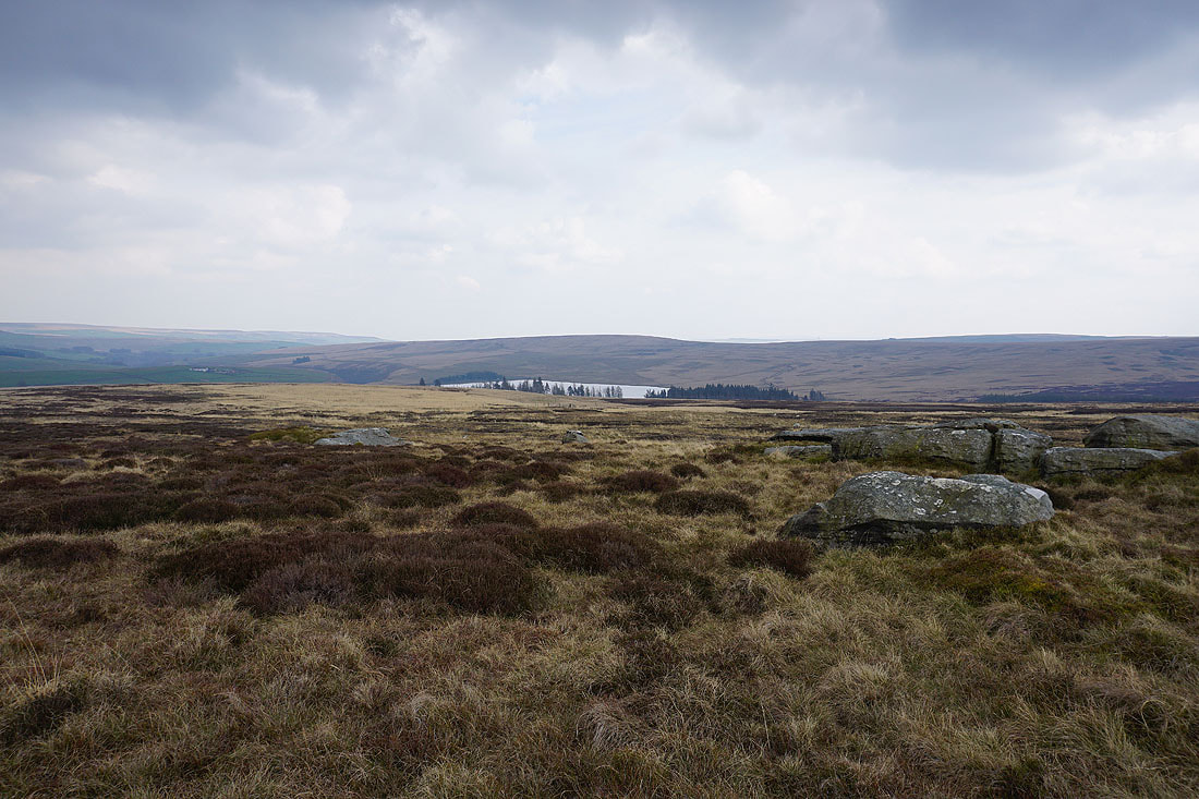
Looking east to Gorple Lower Reservoir, Standing Stone Hill, and the moors around the top of Hebden Dale
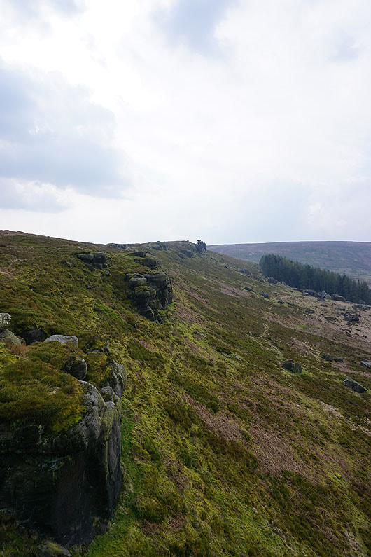
I leave the Pennine Bridleway and make my way along the top of the gritstone crags of Cludders Slack
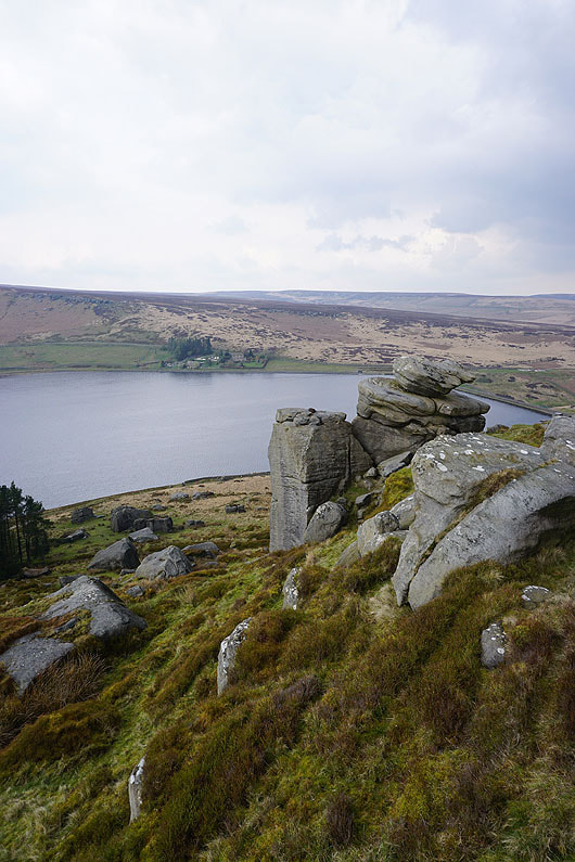
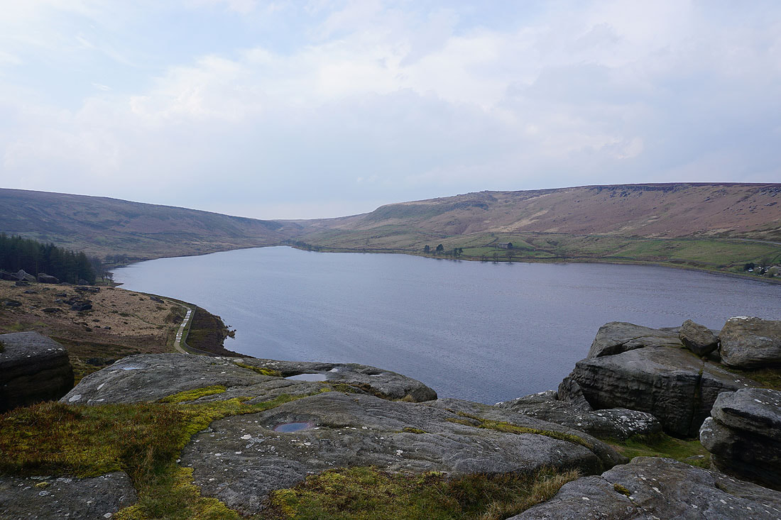
Looking across Widdop Reservoir to Grey Stone Hill and the gritstone edge of The Scout
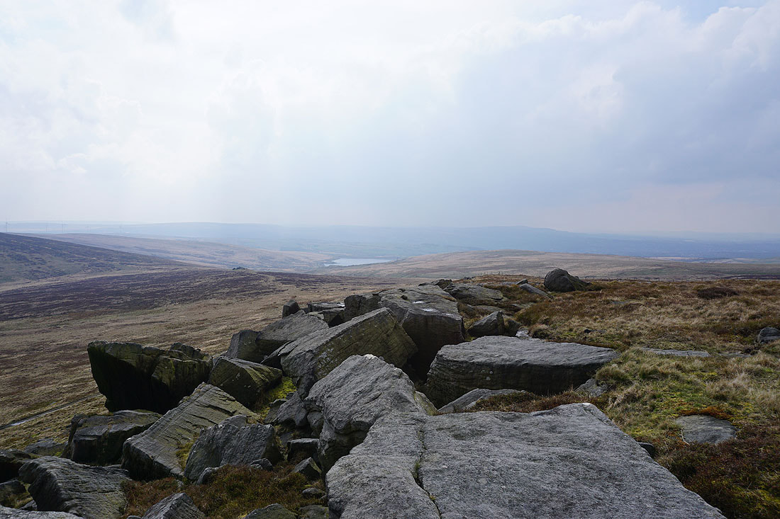
and back along Cludders Slack
Down from Cludders Slack and following the Pennine Bridleway back west..
..and then north onto the Burnley Way
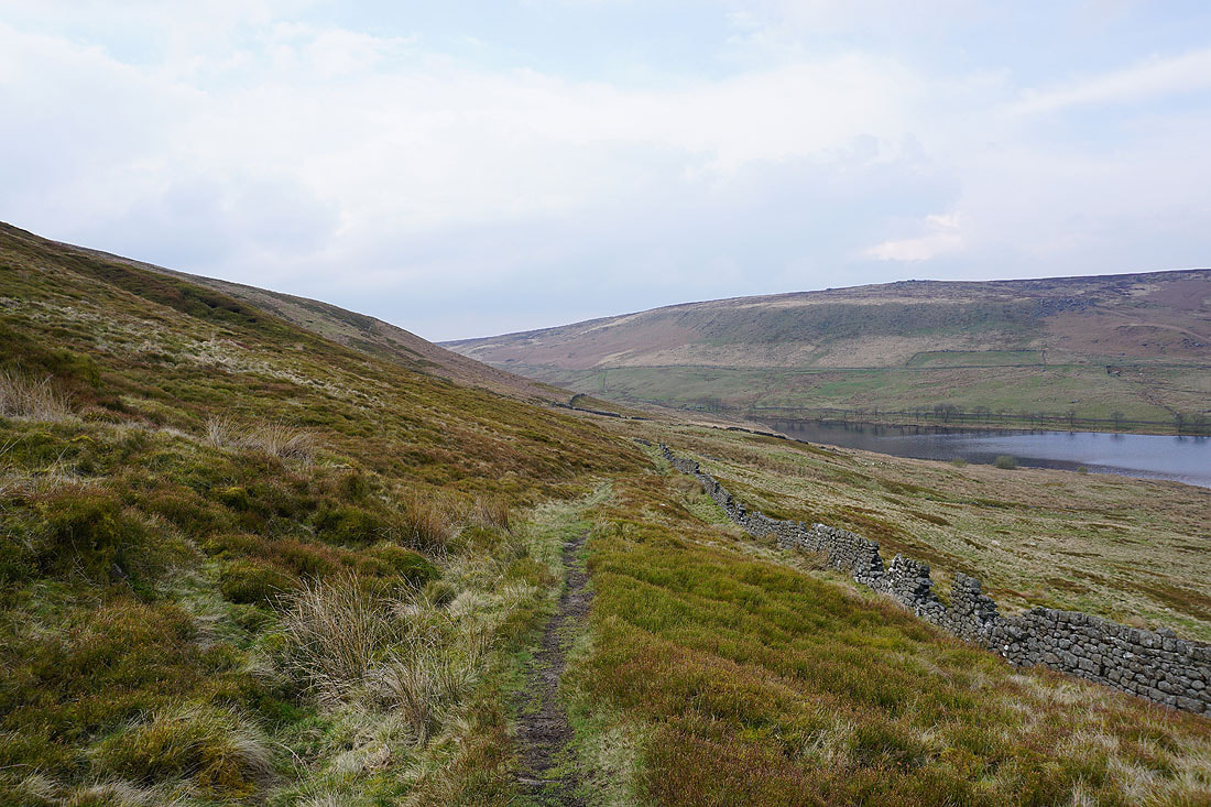
Above Widdop Reservoir
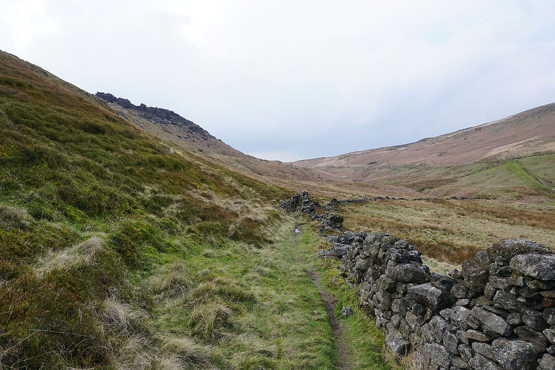
The path passes beneath Clattering Stones on the side of Gorple Hill
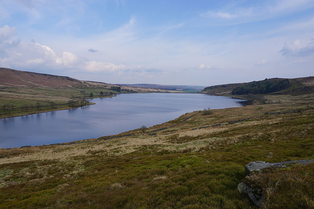
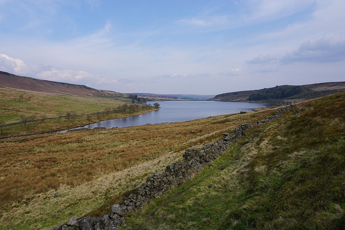
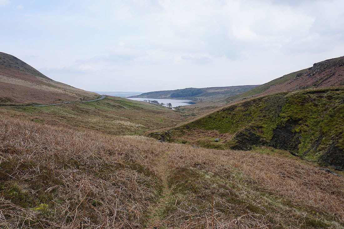
A look back across Widdop Reservoir
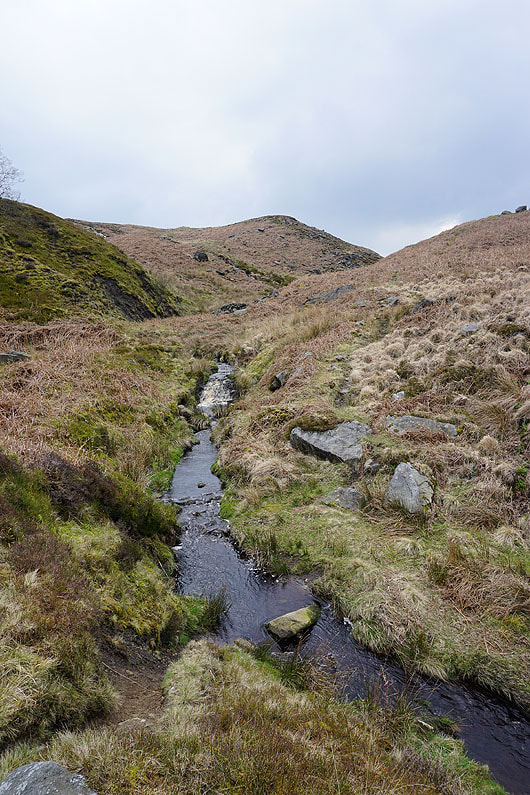
Following the path up through a sequence of small dams, and across a beck..
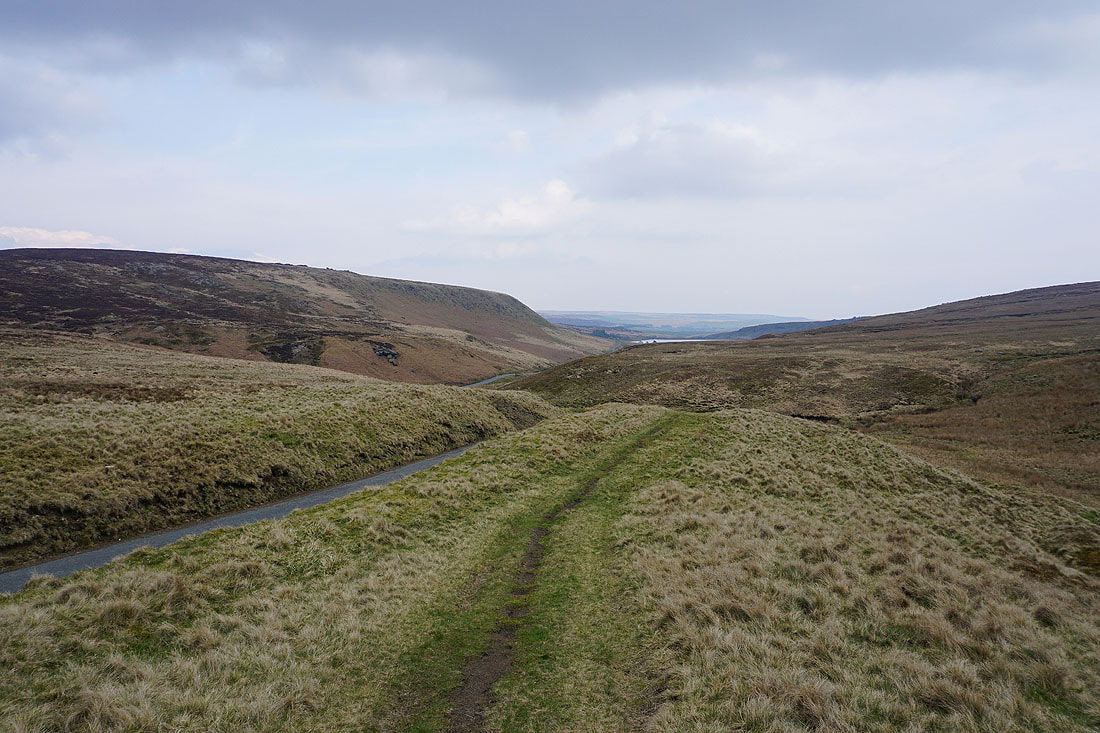
Looking back as the path reaches its top at the road from Heptonstall across the moors..
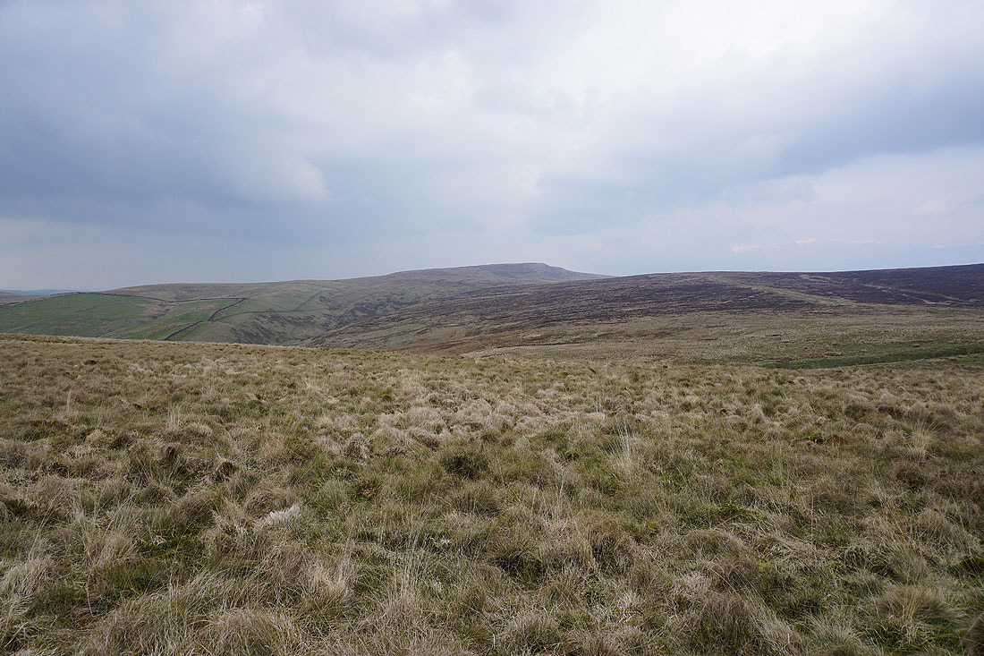
Boulsworth Hill rises to the northeast
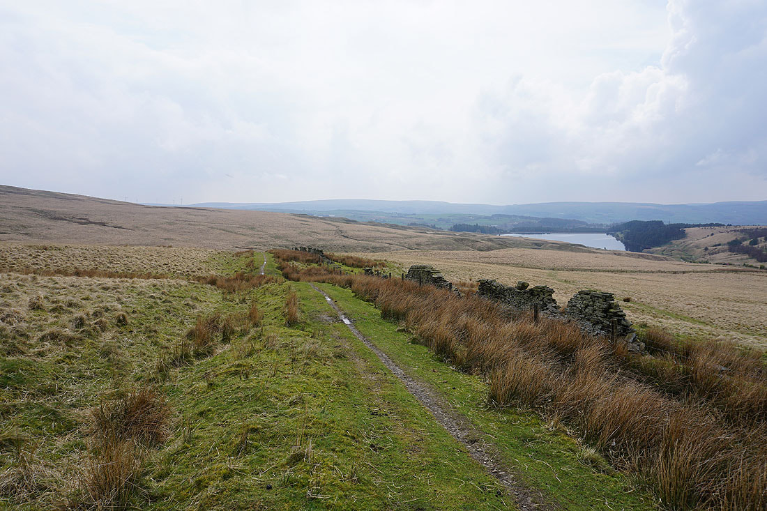
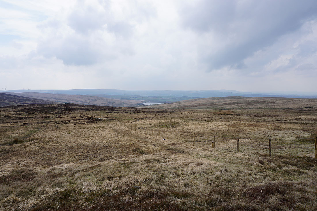
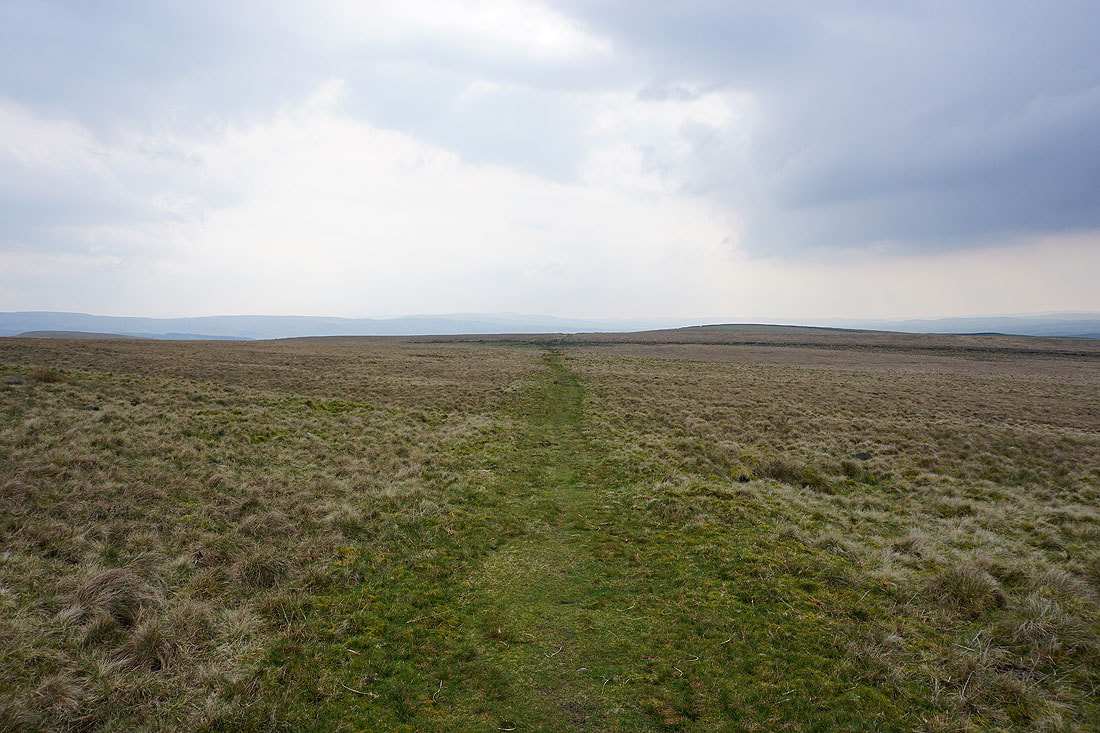
Crossing Extwistle Moor
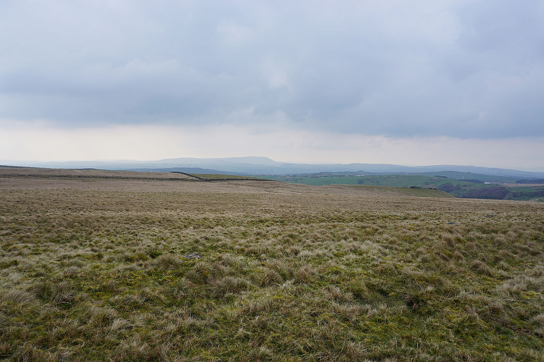
Pendle Hill in the distance to my right
Back onto the Pennine Bridleway
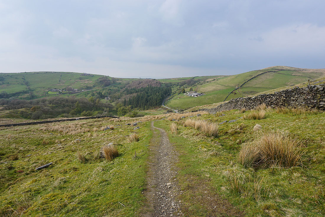
Following the Pennine Bridleway down into the Thursden Valley..
Across the Thursden Valley and following the Pennine Bridleway north to the Pendle Way
Upper Coldwell Reservoir and Pendle Hill to my left
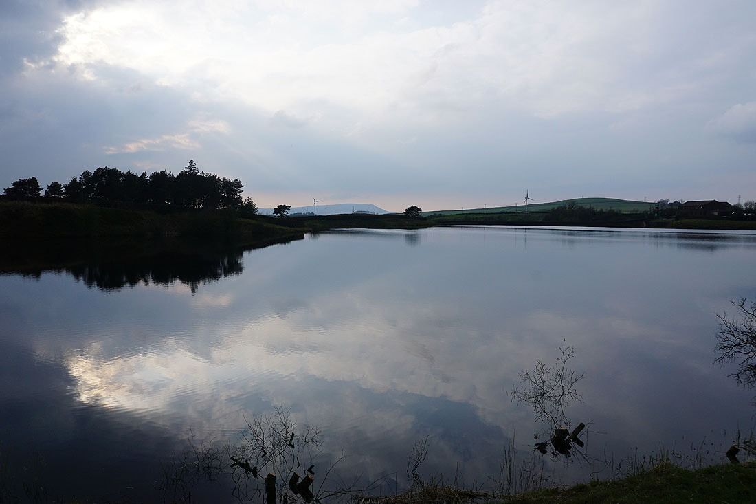
Back above Lower Coldwell Reservoir
A final shot looking across Lower Coldwell Reservoir to Pendle Hill
