22nd August 2010 - Whernside
Walk Details
Distance walked: 12.8 miles
Total ascent: 2502 ft
OS map used: OL2 - Yorkshire Dales, Southern & Western areas
Time taken: 7 hrs
Route description: Dent-Flinter Gill-Green Lane-Deepdale Lane-Whernside-Craven Way-Dyke Hall Lane-Dales Way-Dent
An ascent of Whernside from Dent. From Dent I took the path by Flinter Gill up to Green Lane. I followed Green Lane all the way around until it reaches the road that crosses from Kingsdale to Deepdale. I crossed the road and made my way up to the summit of Whernside. From Whernside I descended to the track of Craven Way which I followed back to Dentdale. I then used the Dales Way to make my way back to Dent.
Route map
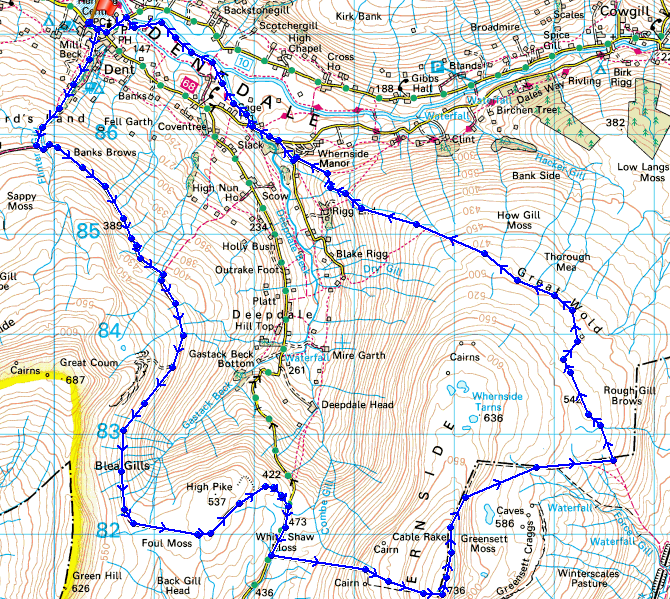
© Crown copyright. All rights reserved. License number PU 100034184.
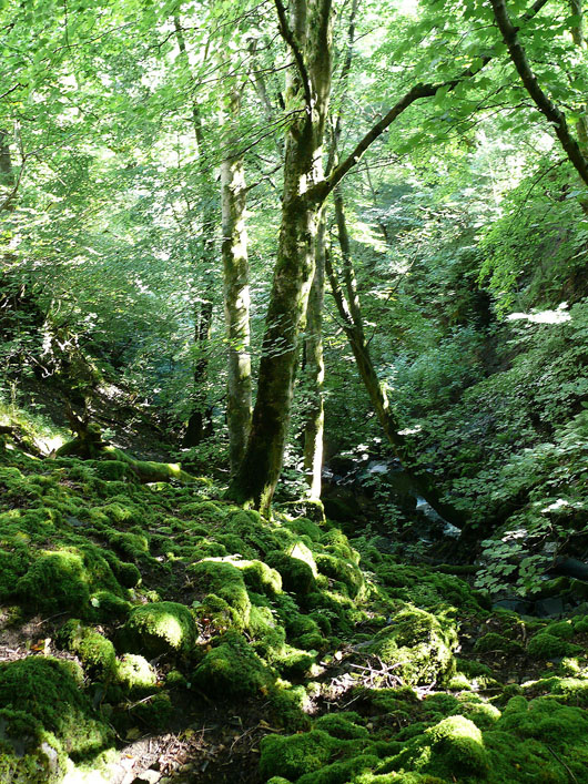
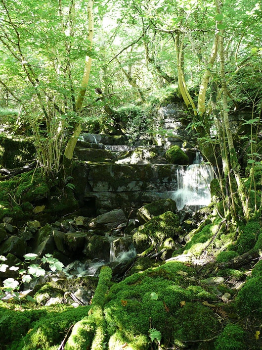
Flinter Gill
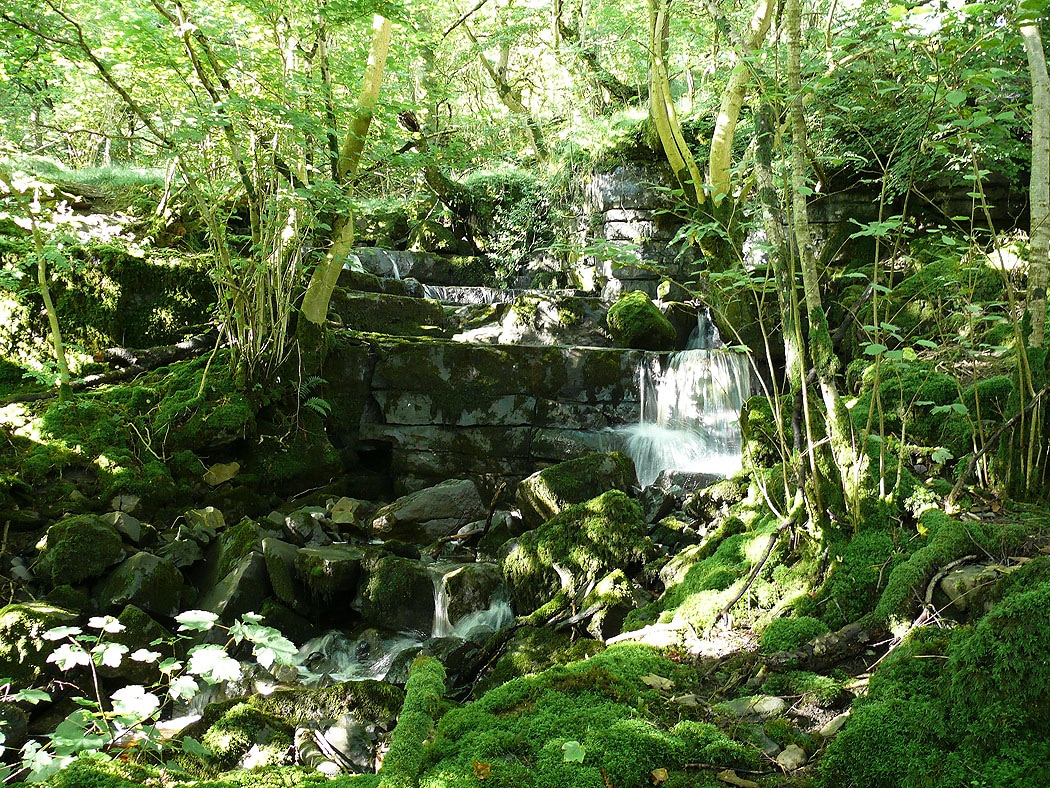
and again..
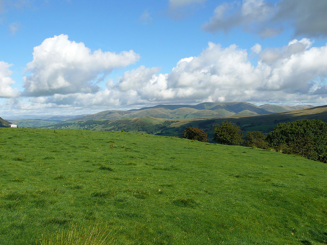
The Howgills from beside Flinter Gill
The Howgills
Great Knoutberry Hill
The Howgills from Green Lane
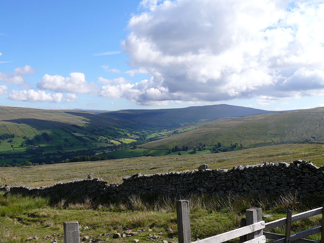
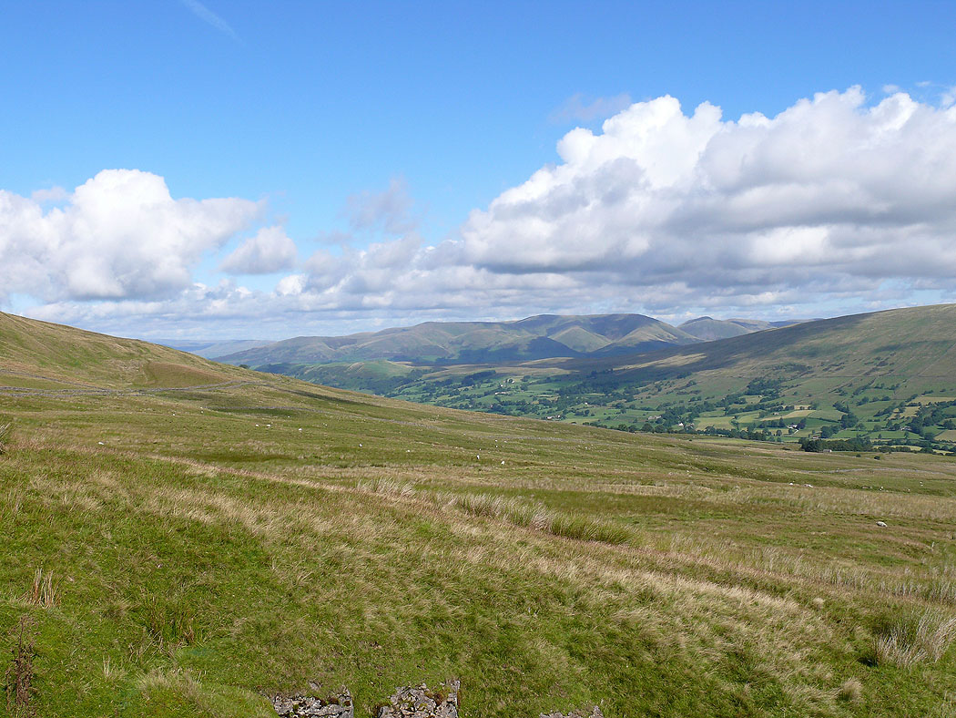
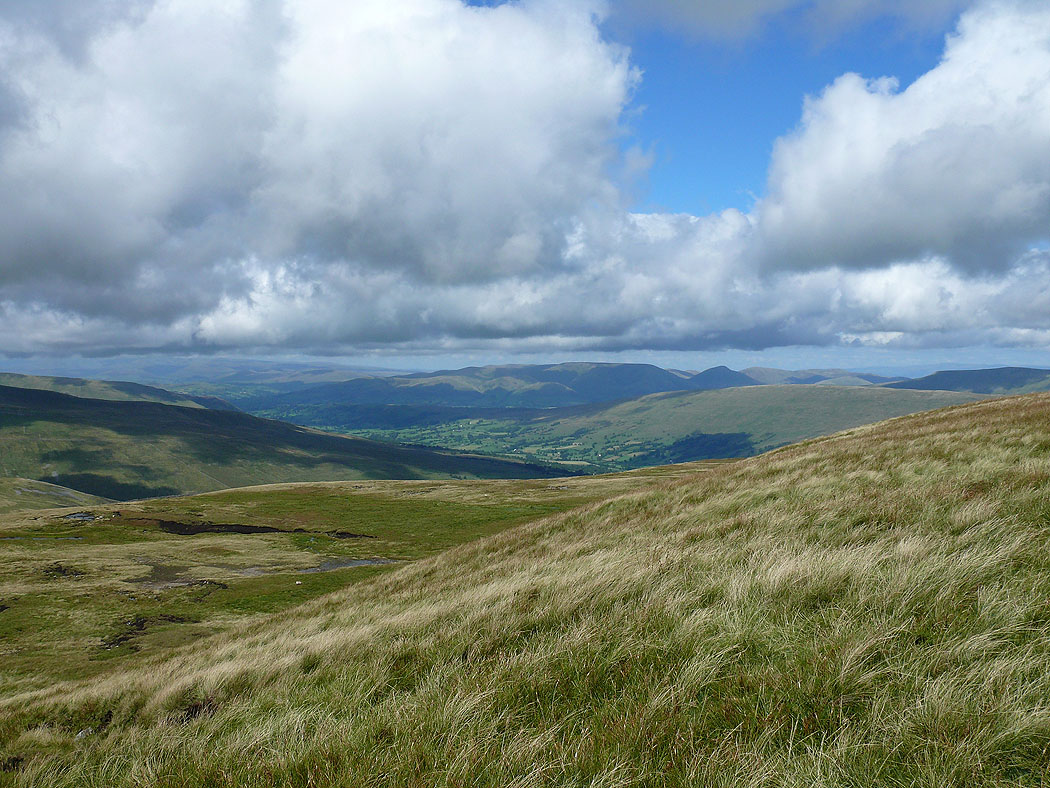
Dentdale and Great Knoutberry Hill
Aye Gill Pike, Baugh Fell and Great Shunner Fell in the distance
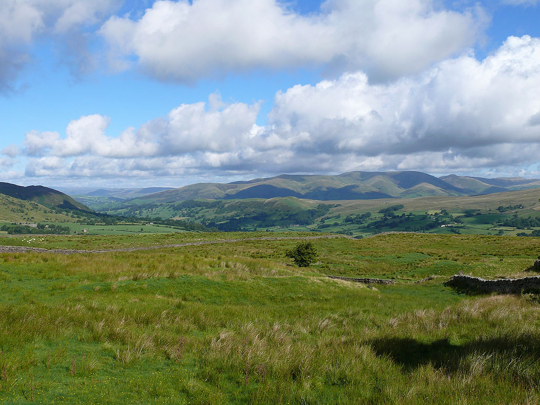
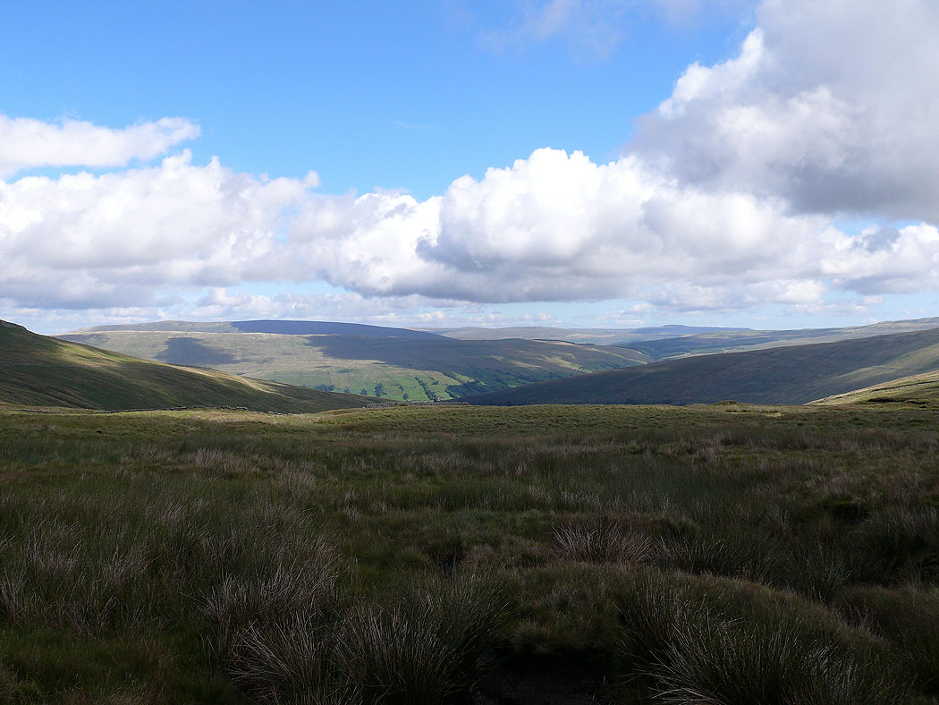
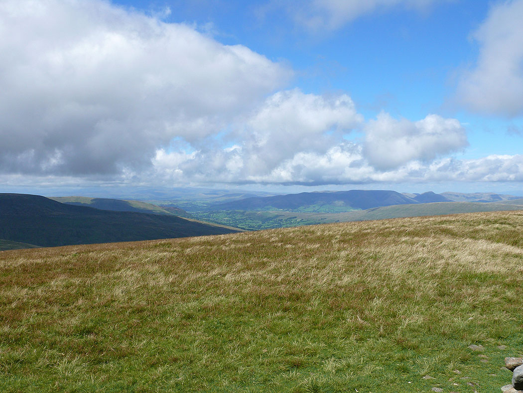
The Howgills and Dentdale
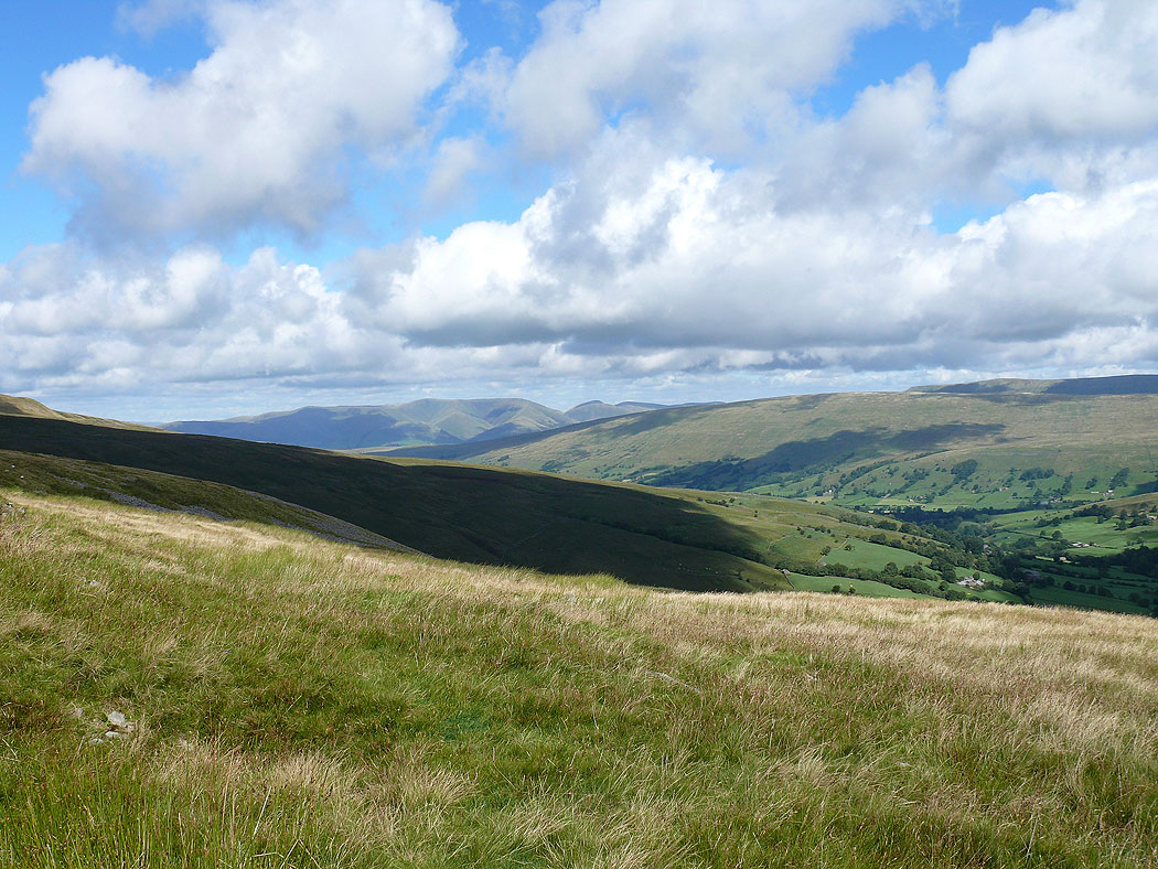
Aye Gill Pike, Baugh Fell and Great Shunner Fell with Deepdale below
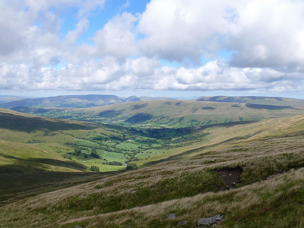
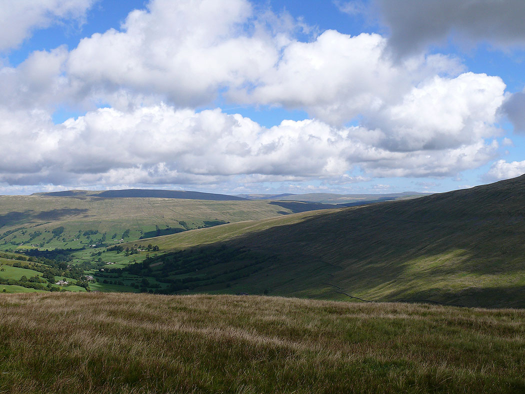
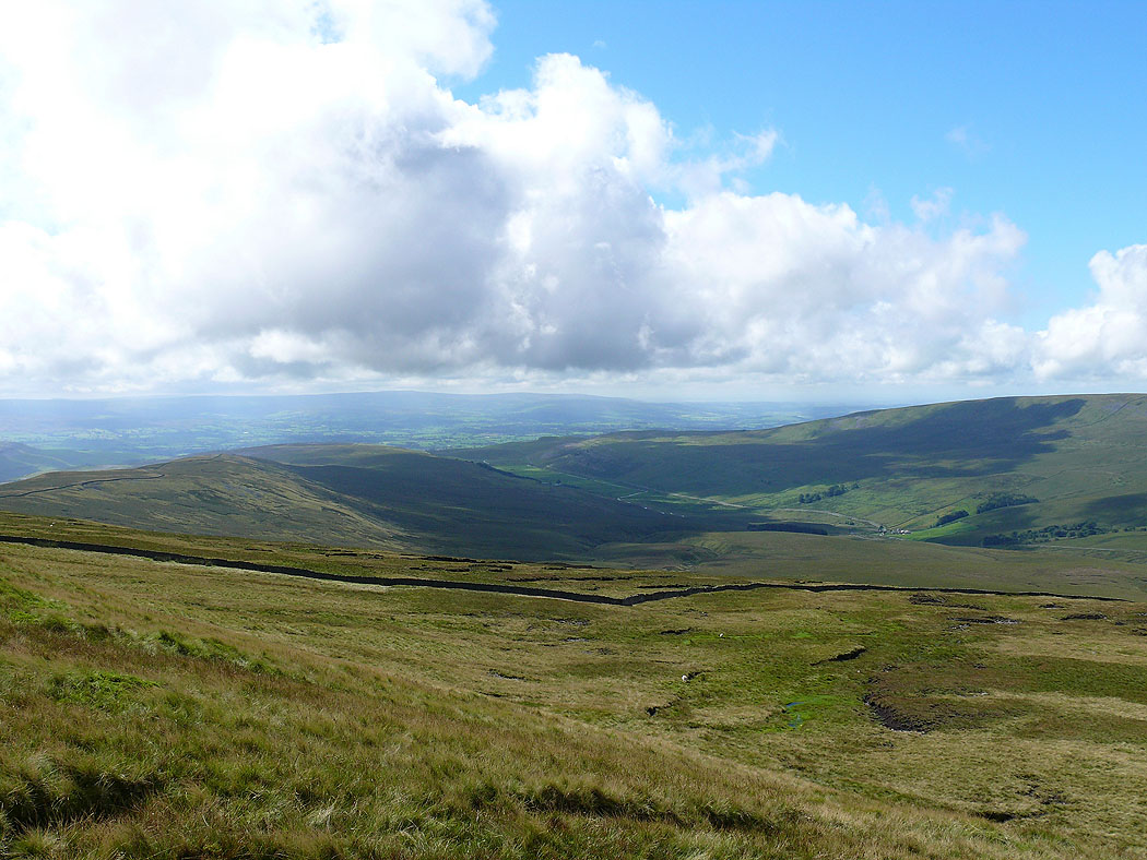
On the ascent of Whernside. The Howgills, Aye Gill Pike and Baugh Fell with Deepdale below.
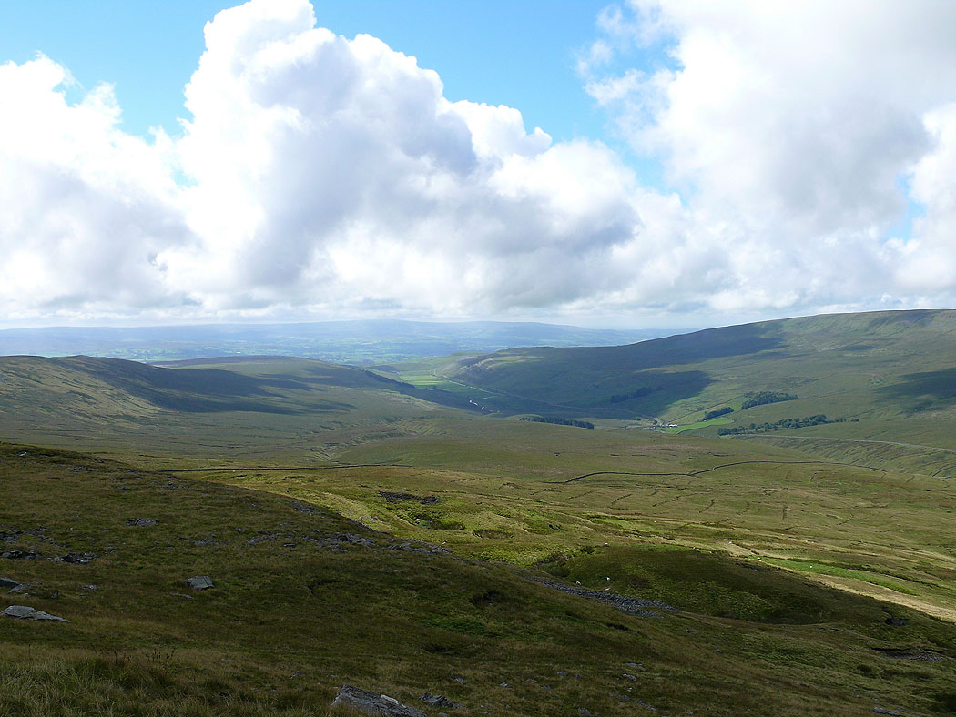
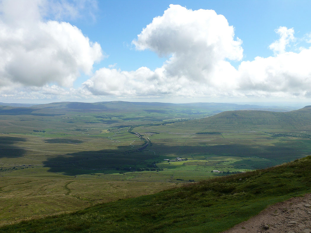
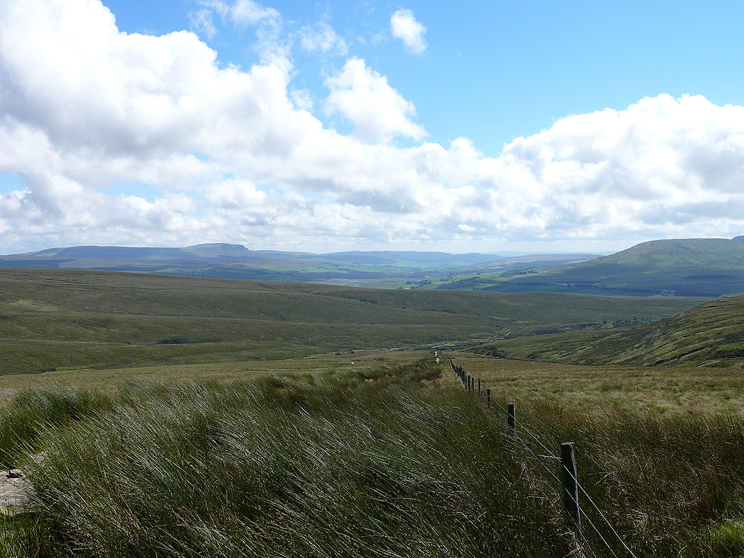
Kingsdale
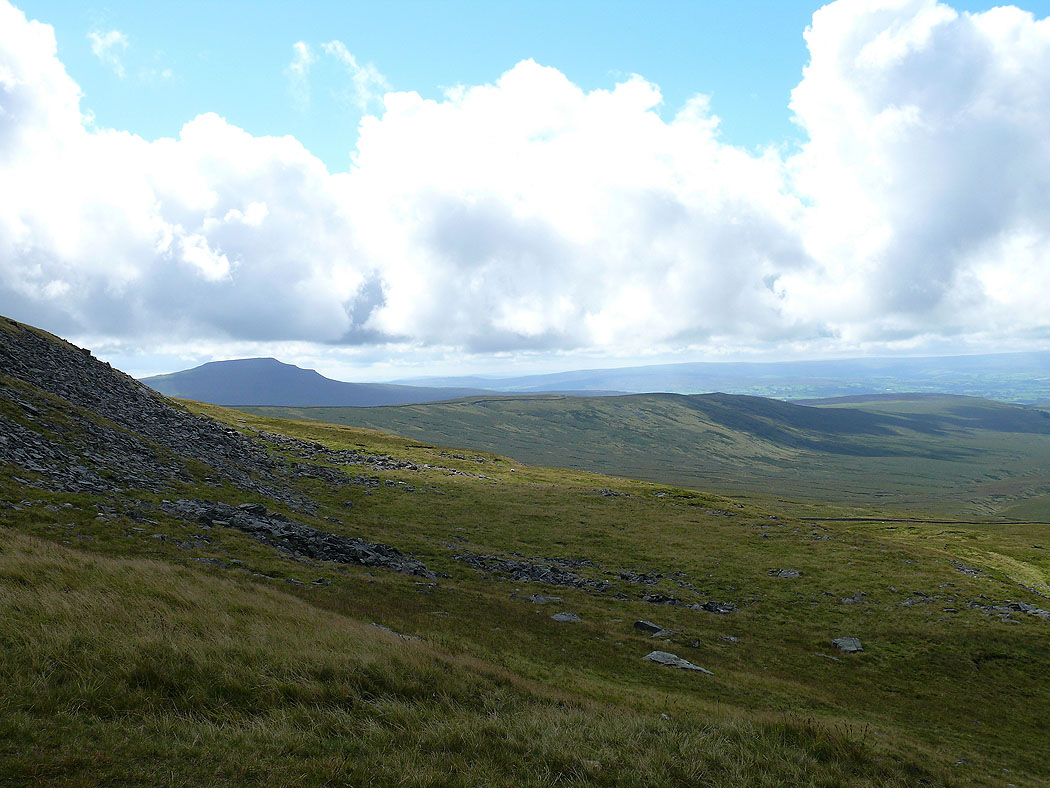
Ingleborough now in view
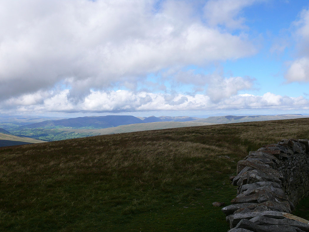
The Howgills
Kingsdale
On the summit of Whernside
Ribblesdale and Penyghent
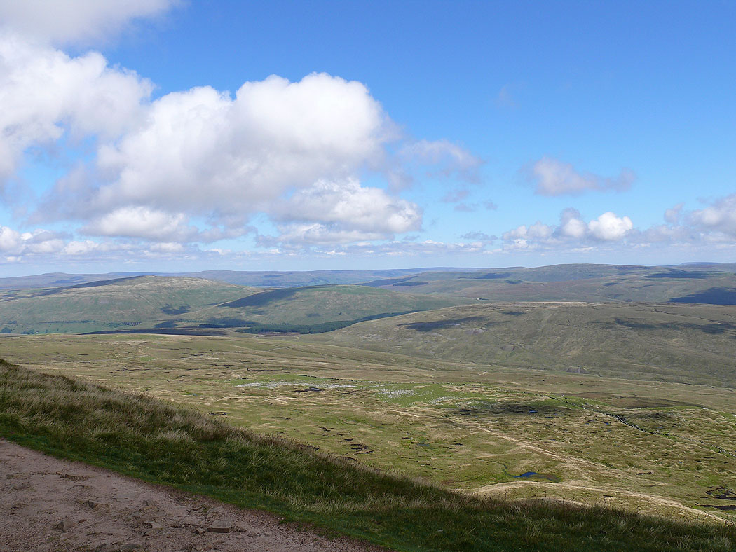
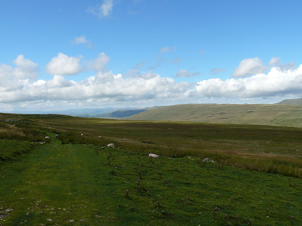
The view over to Great Knoutberry Hill, Wold Fell and Blea Moor
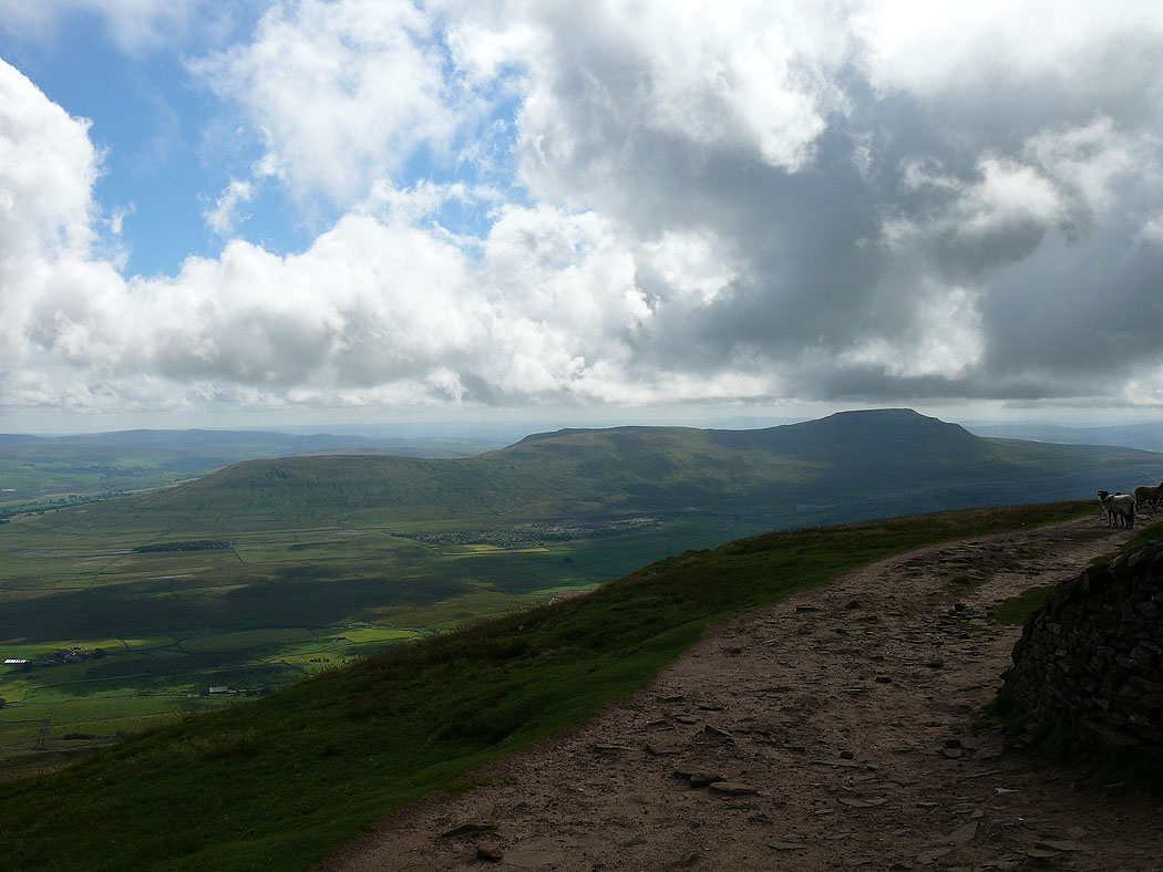
Ingleborough from Whernside
Great Coum
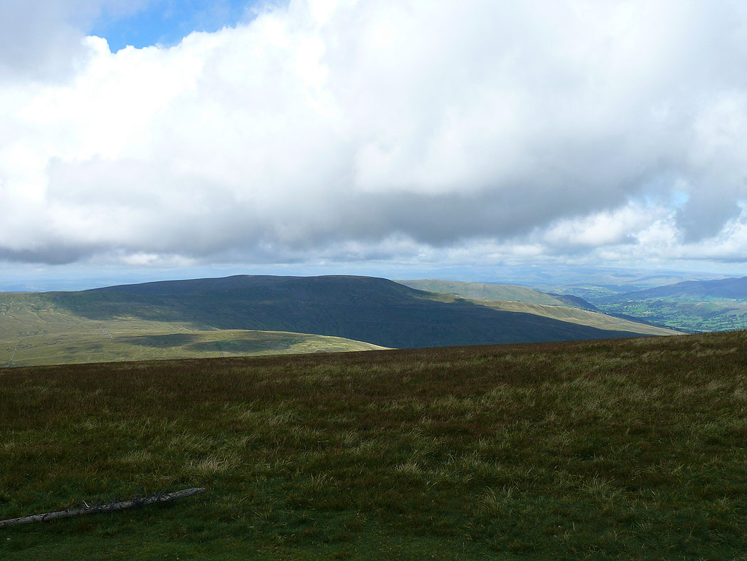
The Howgills from Whernside
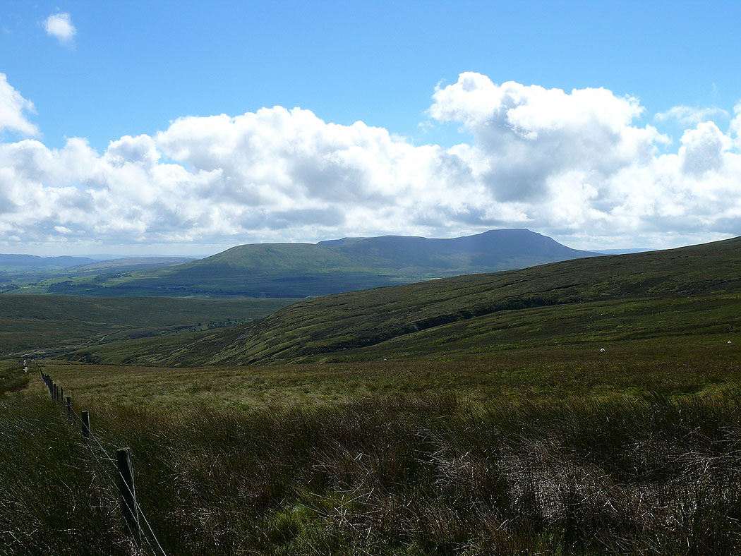
Ingleborough as I make my way from Whernside down to the Craven Way track
Penyghent and Ribbesdale
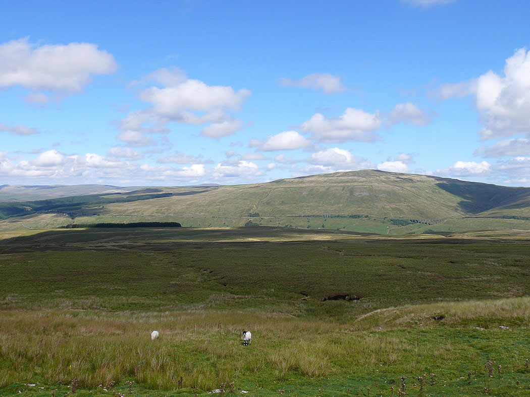
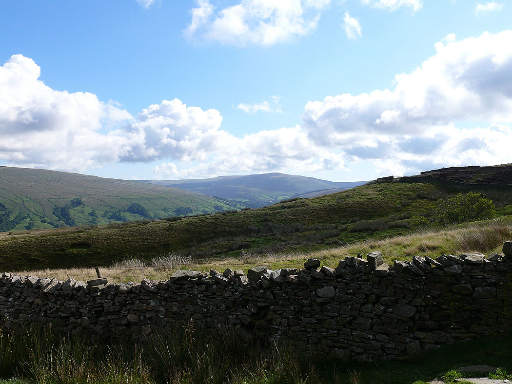
Great Knoutberry Hill
On the Craven Way
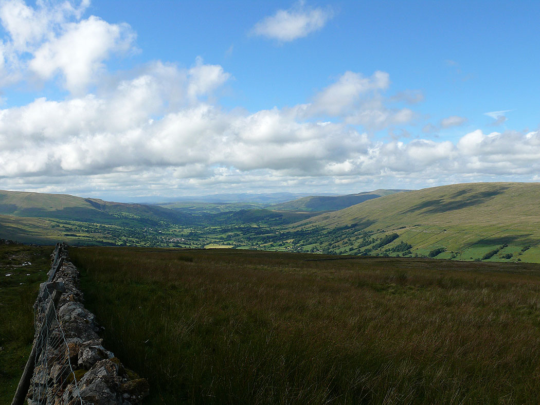
Dentdale ahead