22nd August 2014 - Bamford Edge & Stanage Edge
Walk Details
Distance walked: 12.7 miles
Total ascent: 2281 ft
OS map used: OL1 - The Peak District, Dark Peak area
Time taken: 7 hrs
Route description: Hollin Bank picnic area-Green's House-Outlane-Bole Hill-Bamford Edge-Jarvis Clough-Cutthroat Bridge-Moscar House-Moscar Cross Road-Moscar Lodge-Stanage End-High Neb-Stanage Edge-Hollin Bank picnic area
The last weekday of my time off work and I'd planned to do this walk this week. When I saw what a display the heather was putting on in the Peak District from my walk on Derwent Edge a couple of weeks ago I knew I had make a quick return before it faded. It was also much quieter than it would have been during the weekend. A great day to be out.
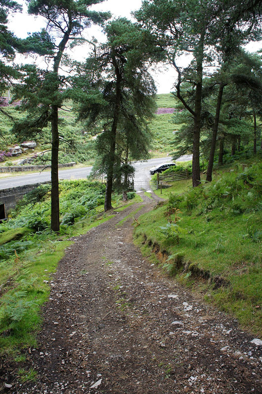
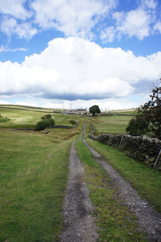
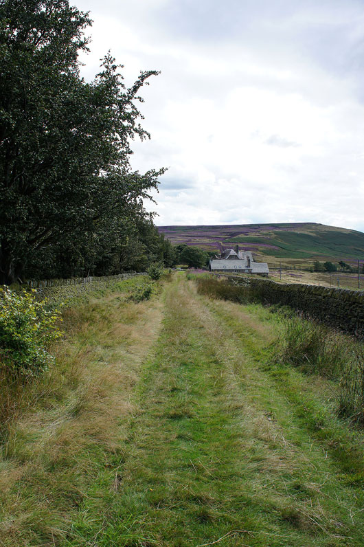
From the car park/picnic area on Hollin Bank I had a brief walk down the road to the toilet block to pick up the track that heads down through the woods, across Hood Brook and up to Green's House and out to a road. I then turned right and walked up the road to pick up a path through Bolehill Wood to another road. After another road walk I reached the path up onto Bamford Moor, above the quarry I left this for Bamford Edge. From Bamford Edge I made my way across Bamford Moor, down and across Jarvis Clough and onto a track to Cutthroat Bridge. I crossed the A57 and followed a path past Moscar House, onto the Moscar Cross Road and then to Moscar Lodge and back across the A57 and up to Stanage End. I then had the walk along the length of Stanage Edge to do to the trig point at its far end. From there I retraced my steps to the path down Hollin Bank back to the car park.
Total ascent: 2281 ft
OS map used: OL1 - The Peak District, Dark Peak area
Time taken: 7 hrs
Route description: Hollin Bank picnic area-Green's House-Outlane-Bole Hill-Bamford Edge-Jarvis Clough-Cutthroat Bridge-Moscar House-Moscar Cross Road-Moscar Lodge-Stanage End-High Neb-Stanage Edge-Hollin Bank picnic area
The last weekday of my time off work and I'd planned to do this walk this week. When I saw what a display the heather was putting on in the Peak District from my walk on Derwent Edge a couple of weeks ago I knew I had make a quick return before it faded. It was also much quieter than it would have been during the weekend. A great day to be out.
From the car park/picnic area on Hollin Bank I had a brief walk down the road to the toilet block to pick up the track that heads down through the woods, across Hood Brook and up to Green's House and out to a road. I then turned right and walked up the road to pick up a path through Bolehill Wood to another road. After another road walk I reached the path up onto Bamford Moor, above the quarry I left this for Bamford Edge. From Bamford Edge I made my way across Bamford Moor, down and across Jarvis Clough and onto a track to Cutthroat Bridge. I crossed the A57 and followed a path past Moscar House, onto the Moscar Cross Road and then to Moscar Lodge and back across the A57 and up to Stanage End. I then had the walk along the length of Stanage Edge to do to the trig point at its far end. From there I retraced my steps to the path down Hollin Bank back to the car park.
Route map
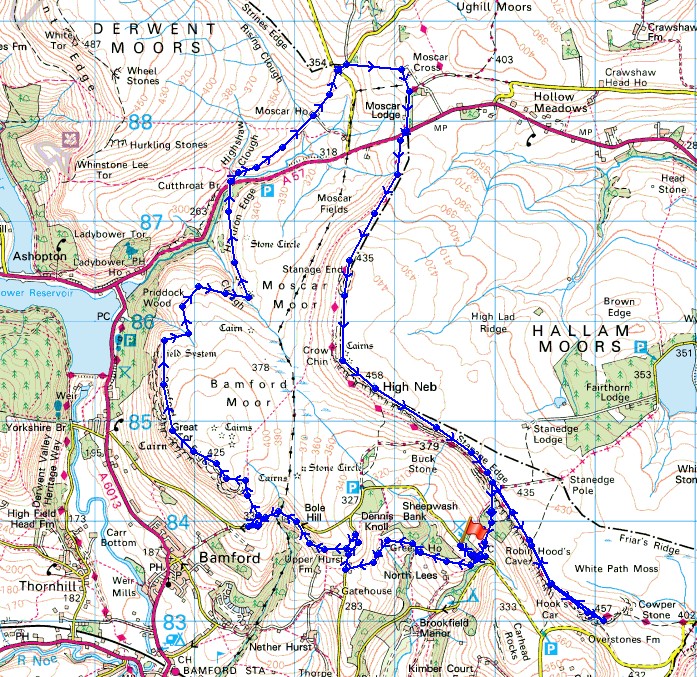
© Crown copyright. All rights reserved. License number PU 100034184.
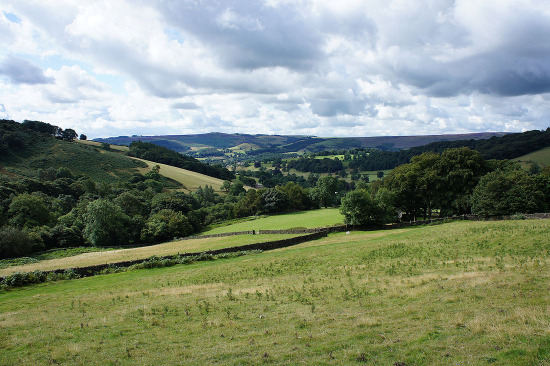
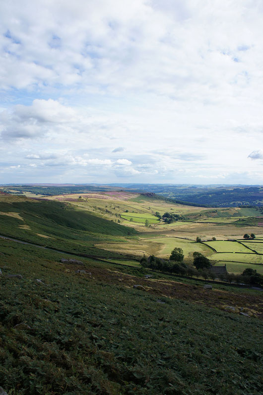
Leaving the car park behind and I have a view down the valley of Hood Brook towards the Derwent Valley
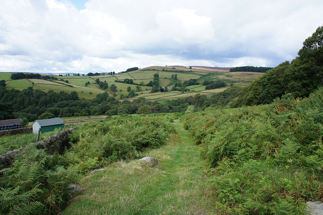
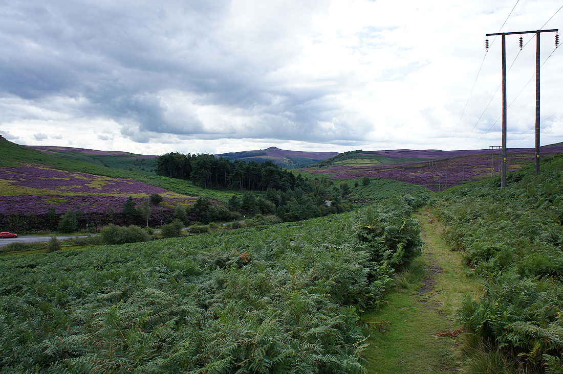
My route will take me down and up onto the hillside opposite. I can see a hint of purple from the heather on Bamford Moor.
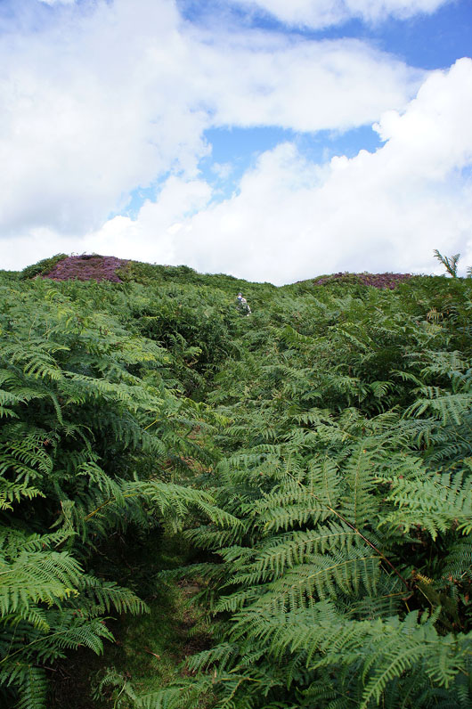
It's jungle warfare as I follow the path through head high bracken onto Bamford Moor
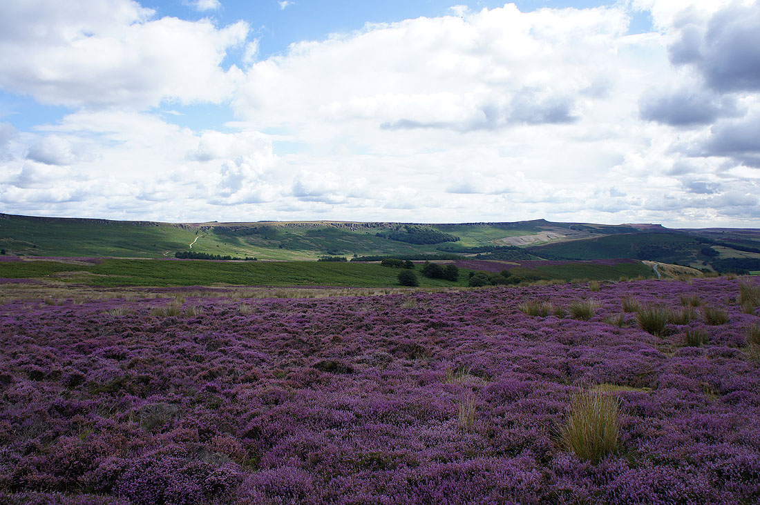
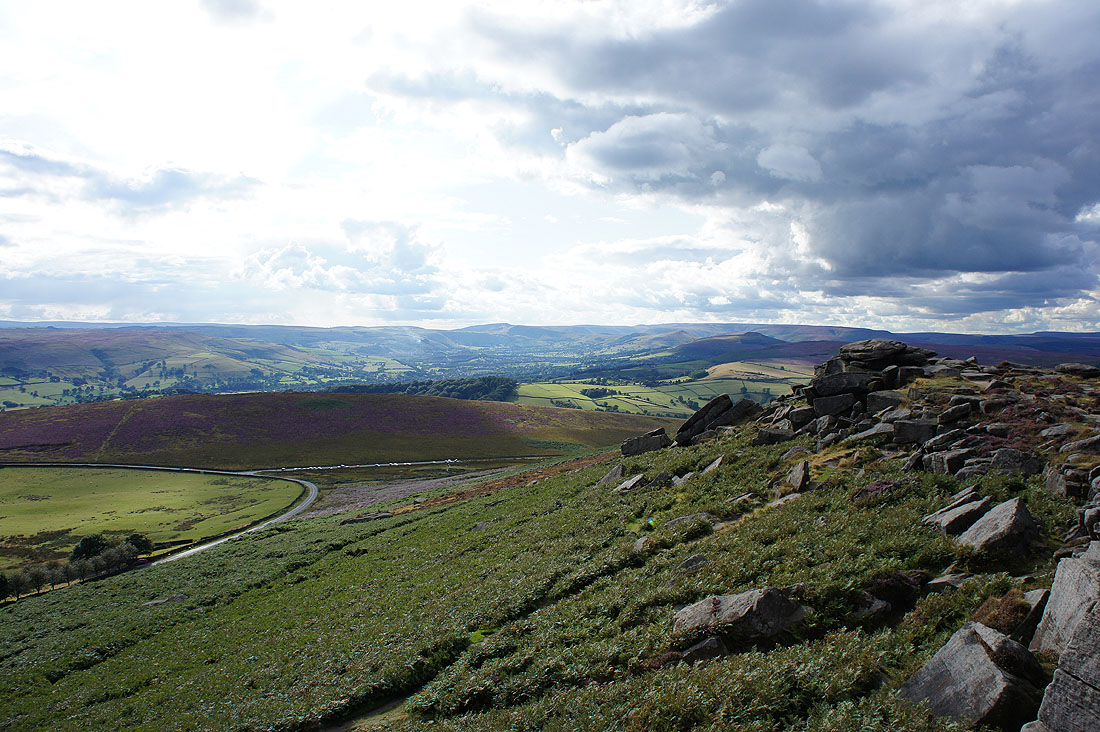
On Bamford Moor looking across to sunshine on Stanage Edge
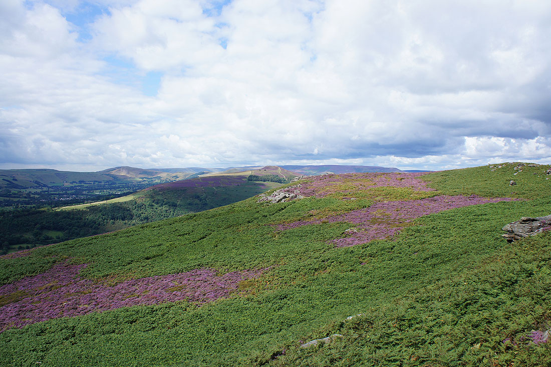
Bamford Edge and the best views is just ahead
On the craggy Bamford Edge
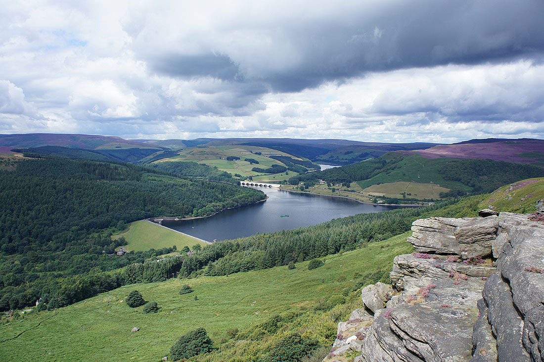
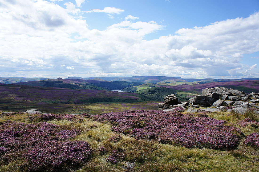
Views from Great Tor, the high point of Bamford Edge. The Ladybower Reservoir and surrounding moors.
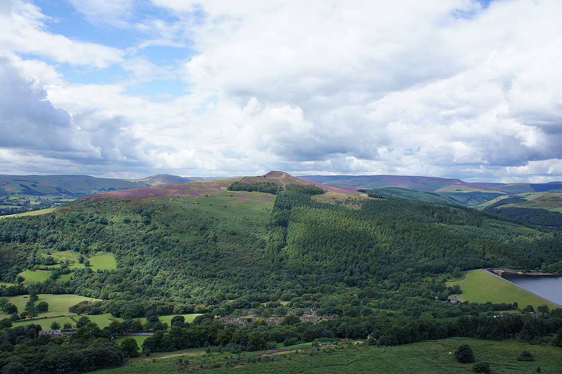
Win Hill on the other side of the Derwent Valley
and the village of Bamford below
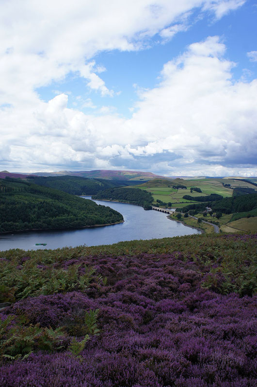
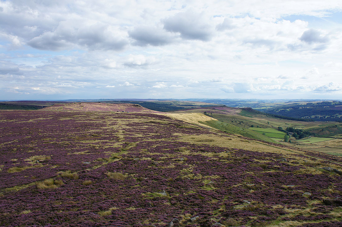
Interesting changes to the view of Ladybower Reservoir as I follow the path across Bamford Moor..
Having crossed Jarvis Clough to pick up this track the A57 appears ahead at Cutthroat Bridge
Looking back towards Cutthroat Bridge and Win Hill
|
|
Moscar House ahead and Moscar Lodge as I loop round to cross back over the A57
At the start of Stanage Edge, Stanage End. Looking across to Win Hill and Kinder Scout.
Derwent Moor and Back Tor. I was there a couple of weeks ago.
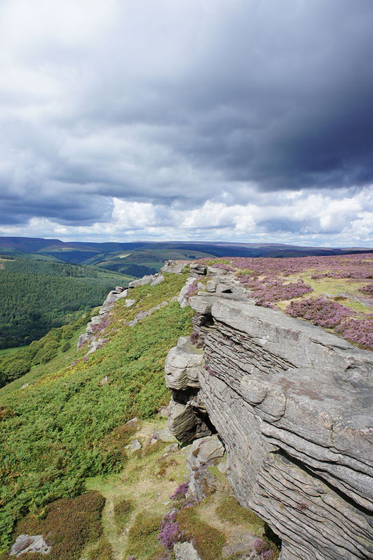
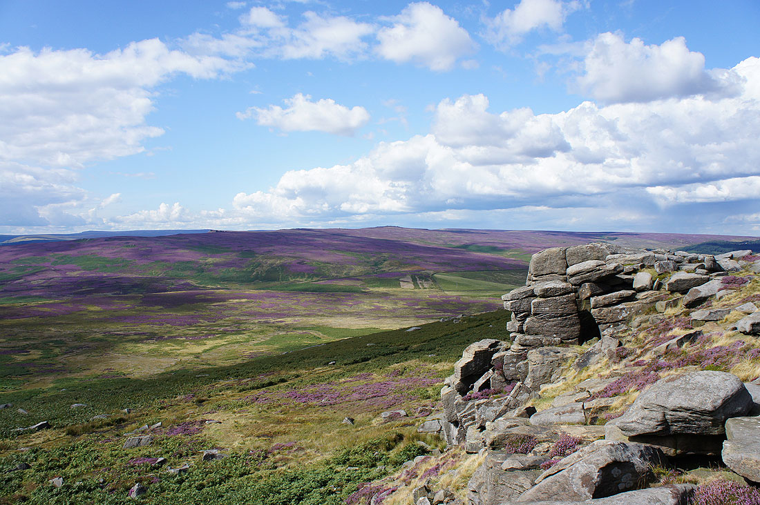
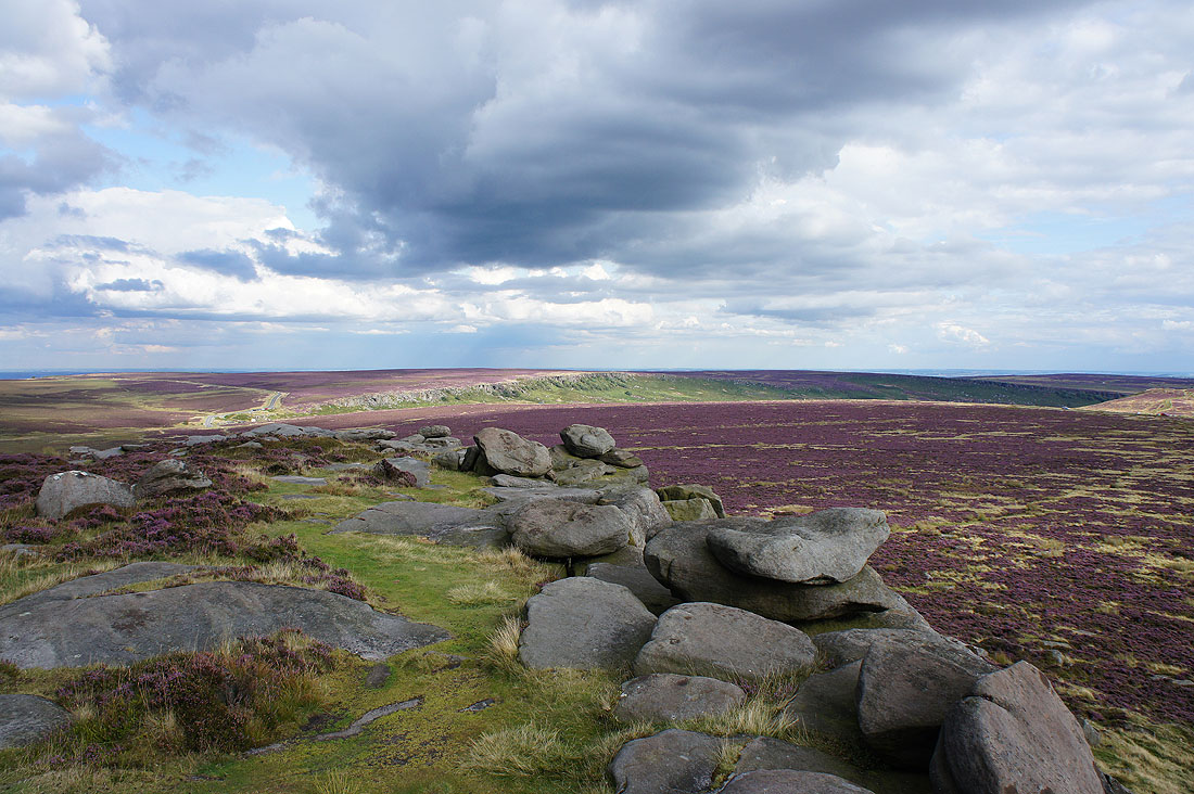
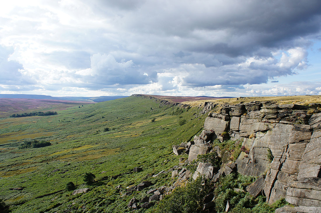
To the south the height of the crags increase as High Neb is approached
Fantastic views of heathery moors as I head for High Neb
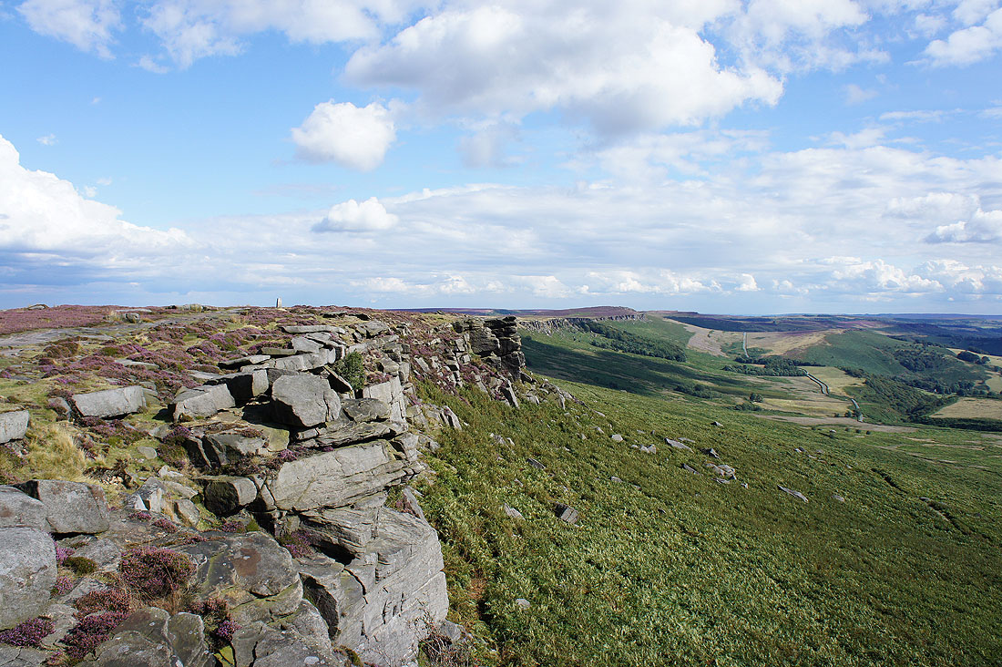
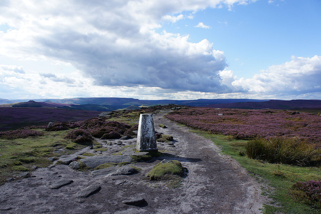
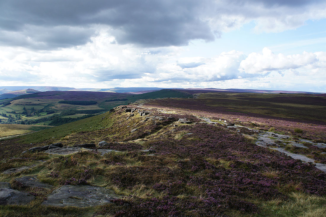
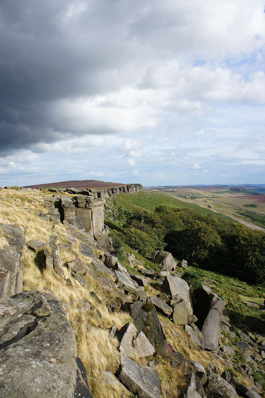
The trig point on High Neb appears along with the rest of Stanage Edge stretching into the distance
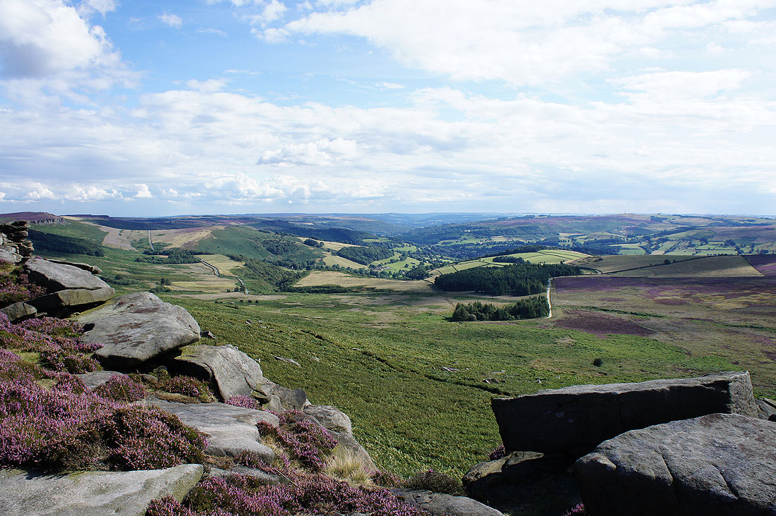
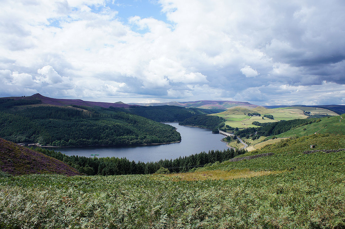
Looking down the Derwent Valley
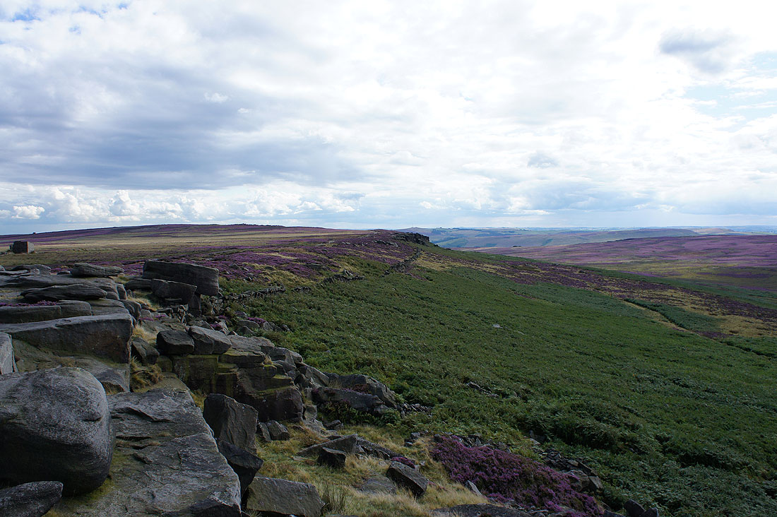
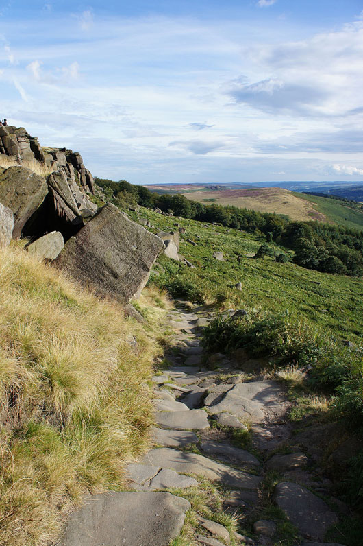
On the Edge
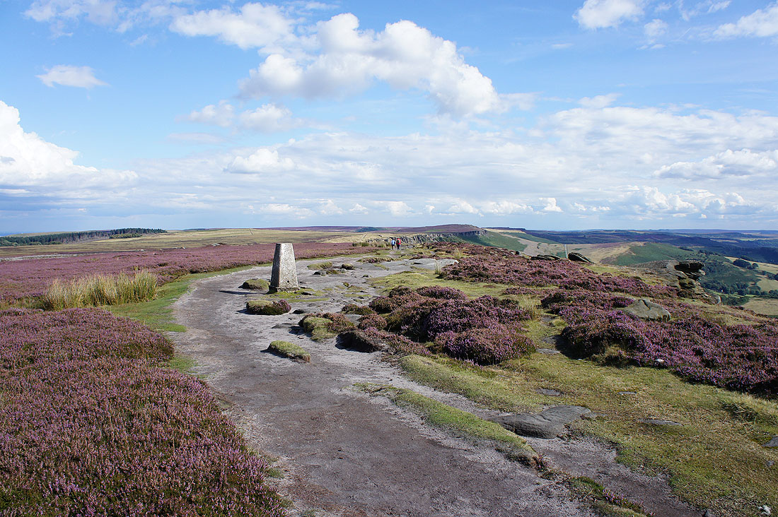
At the high point of the walk (just), the trig point at High Neb
Kinder Scout and Bleaklow in the distance
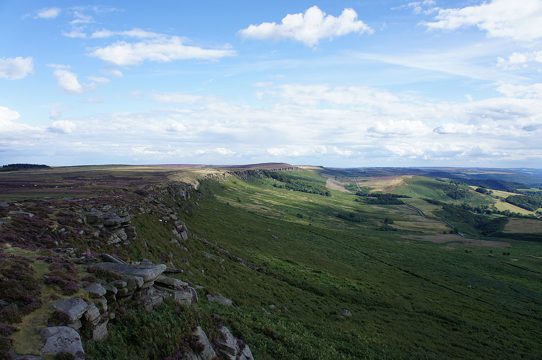
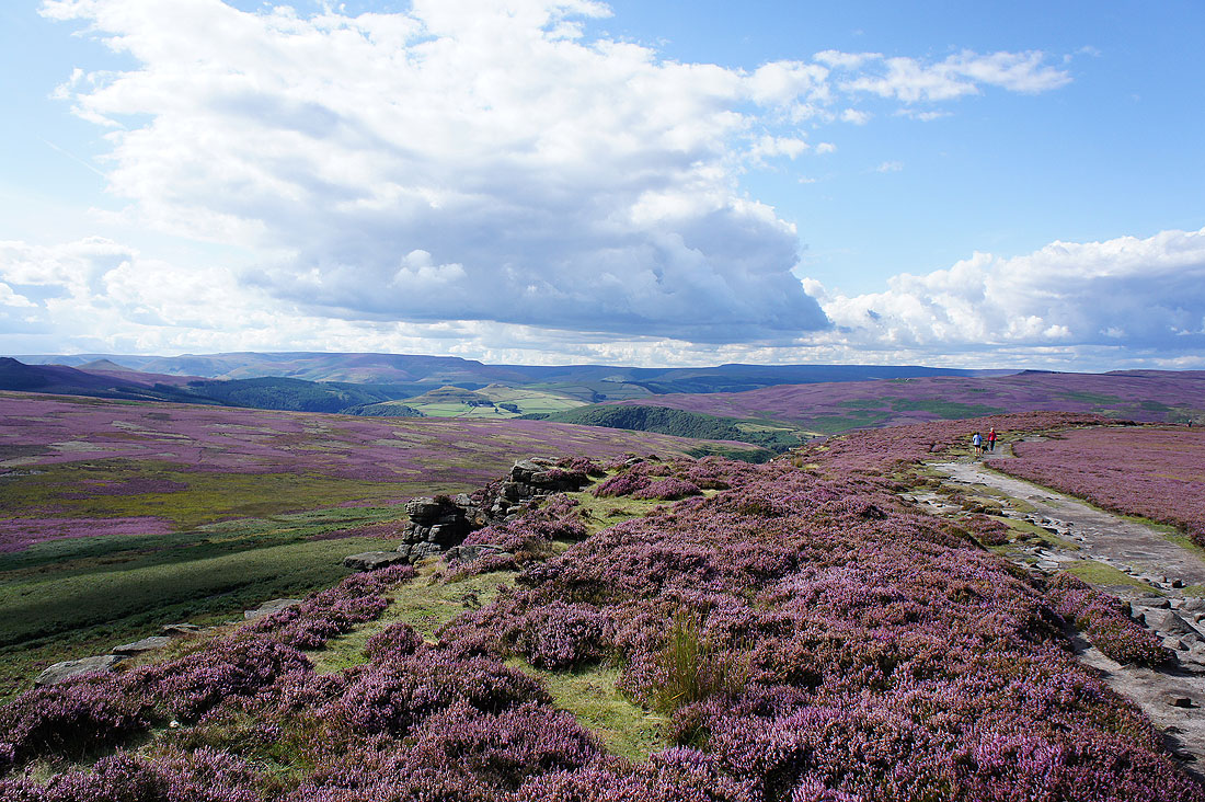
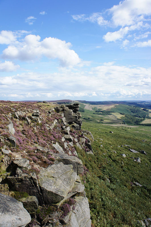
The best bit of Stanage Edge to come and the most popular section with climbers
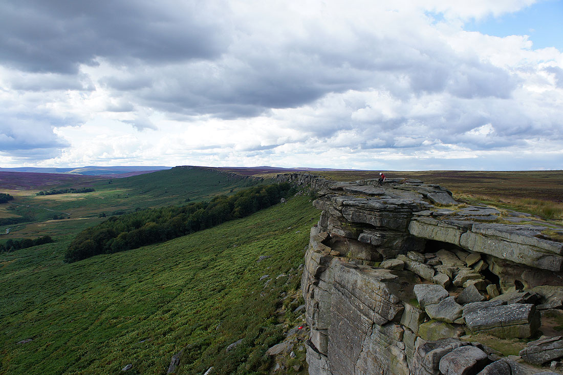
Looking back from the far point in the previous photo and a lone climber waits for a friend to join him
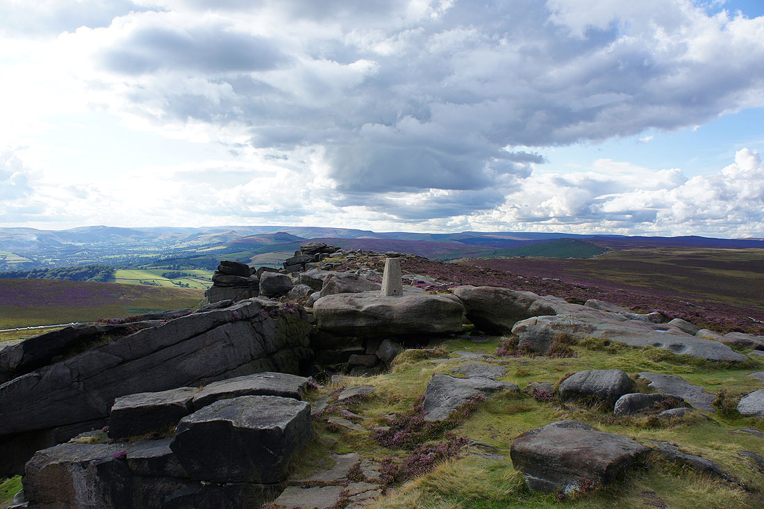
At the trig point that marks the southern end of Stanage Edge. I could have missed out the walk to here but I couldn't resist it. Kinder Scout and Bleaklow in the distance.
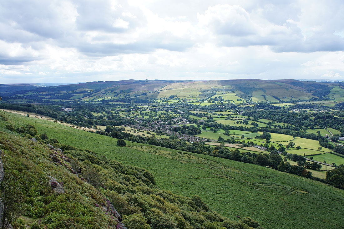
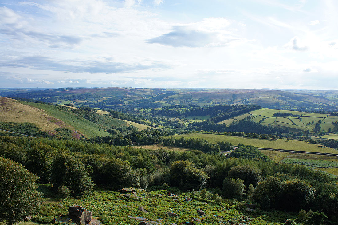
A sunlit Hope Valley
Higger Tor, Over Owler Tor and Millstone Edge
Sunshine on Burbage Rocks
Time to head back. I'll retrace my steps to pick up the path down off Stanage Edge.
A bit of sunshine catches Over Owler Tor and Millstone Edge
I spent about twenty minutes waiting for the sunshine I could see making its way across for this shot. I think it was worth it.
Looking down on the Derwent Valley. I can also see the car park in the trees below.
One last shot along the edge
Heading down at last. A great day out.