22nd August 2021 - Around Lothersdale
Walk Details
Distance walked: 10.6 miles
Total ascent: 2320 ft
OS map used: OL21 - South Pennines
Time taken: 5.5 hrs
Route description: Lothersdale-Pennine Way-Cowling Hill Lane-Cowling Hill-Long Lane-Leys Beck-Leys Lane-Lothersdale Road-Great Gib Farm-Cononley-Skipton Road-Scarcliffe Farm-Stockshott Lane-Carleton Biggin-Ramshaw-Burnt Hill-Babyhouse Lane-White Hill Lane-Pennine Way-Pinhaw Beacon-Pennine Way-Lothersdale
I stayed local for my walk this weekend as the weather forecast wasn't the best, and I didn't need to go far anyway for a walk across heather covered moors. I made the short drive across to Lothersdale for this route that took in the moors around the eastern end of this side valley of Airedale, much of which was already familiar to me from previous visits. I set off from Lothersdale with bright skies and some sunshine, but it didn't take that long for the first shower of the day to turn up, and then it was mostly cloudy skies from then on with only a little sunshine and a few showers, which didn't pass through that quickly in the light winds. The worst of it was when I was making my way back to Lothersdale from Pinhaw Beacon at the end of the walk. With hindsight I should have missed it out and just returned to Lothersdale, as I could see that I was probably going to be in for a soaking, and that was what I got as a heavy shower followed me all the way back down.
After I'd parked my car in Lothersdale I picked up the trail of the Pennine Way and followed it south, up to and past Woodhead Farm, down to and across Surgill Beck, and up to Cowling Hill Lane. I then walked down Cowling Hill Lane through the hamlet of Cowling Hill, and down Long Lane until I reached a track on the left, which I followed down to and across a lane, then down to the footbridge and ford over Leys Beck. Once across the footbridge I followed the track up past Leys House to Leys Lane, where I turned left and walked along Leys Lane to Lothersdale Road. After a brief walk east along Lothersdale Road I took a footpath north across fields to and past Great Gib Farm, and then down the track of Gibside Lane into Cononley. I left Cononley by walking north along Skipton Road until I reached Spring Head Farm, where I took a footpath up a track on the left, and then up through fields to reach Scarcliffe Farm and Stockshott Lane. There was then quite a long walk down Stockshott Lane, past its junction with Woodside Lane, and past Throstle Nest Farm to reach a footpath on the left, which I took across a field to the driveway of Carleton Biggin. I then followed the public footpath up the driveway, then into the field on the right, up the moorland ridge of Ramshaw and across Burnt Hill, where I reached a bridleway at Street Head Farm, which I followed to Babyhouse Lane. After walking north up Babyhouse Lane I turned left and walked down White Hill Lane until I reached the Pennine Way on the right. I then followed the Pennine Way up to the summit of Pinhaw Beacon, back down to White Hill Lane, across the road, and then back down to Lothersdale where I was parked.
Route map
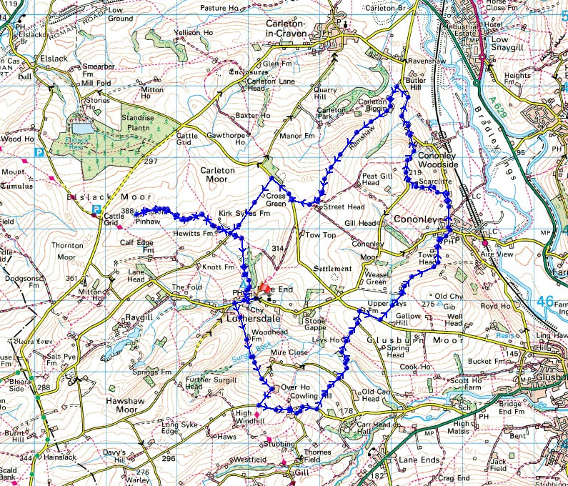
© Crown copyright. All rights reserved. License number PU 100034184.
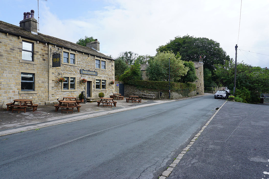
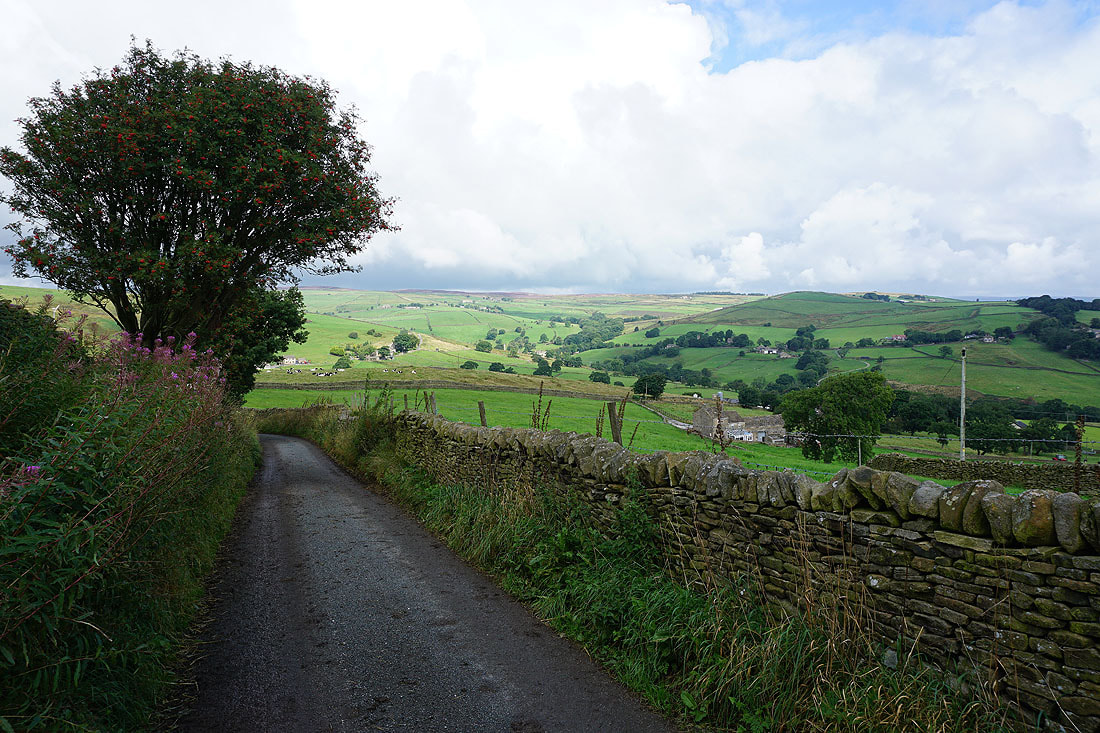
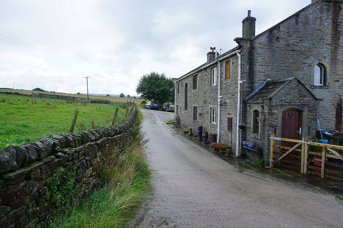
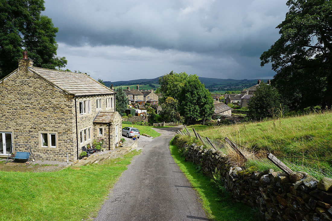
Passing the Hare and Hounds as I walk through Lothersdale to join the Pennine Way
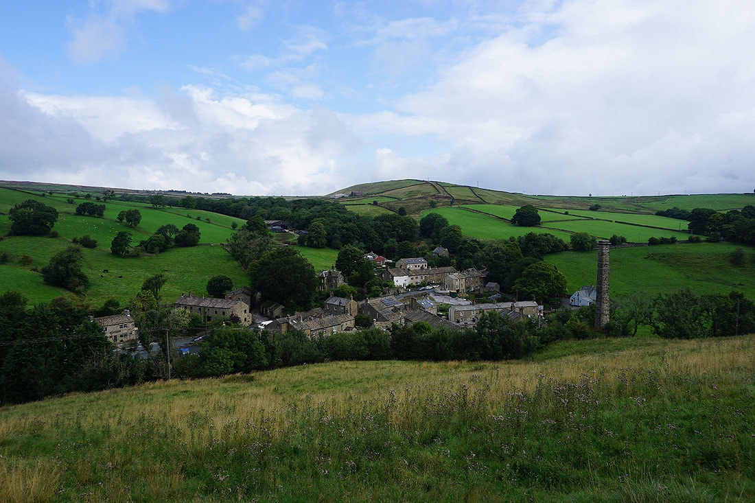
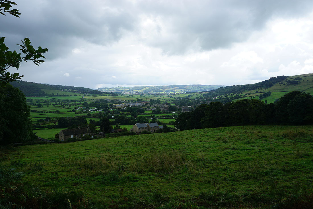
Lothersdale from the Pennine Way
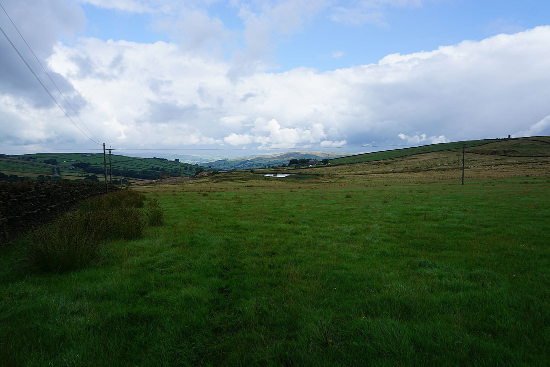
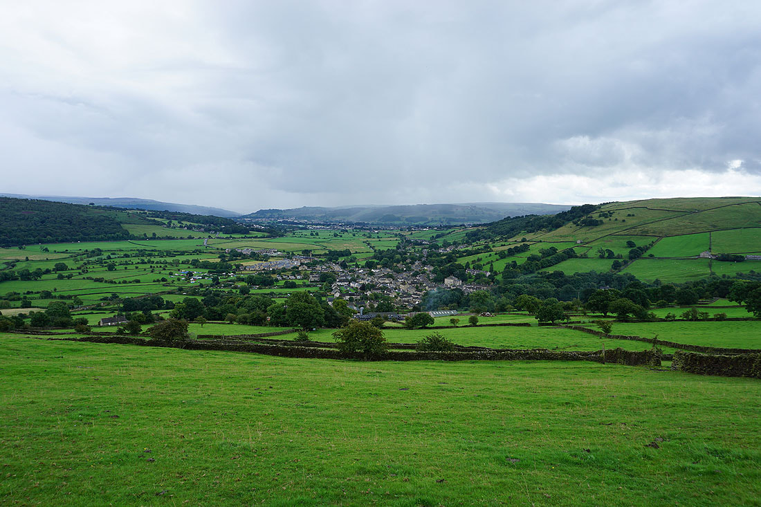
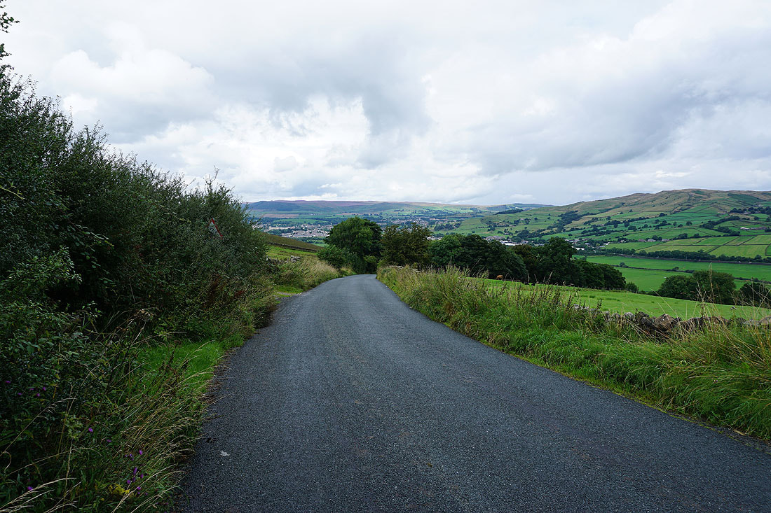
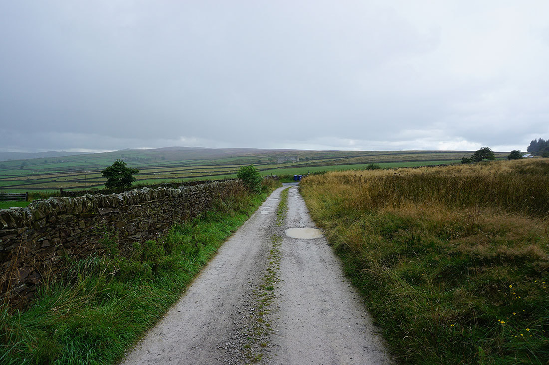
Earl Crag in the distance as I follow the Pennine Way south from Lothersdale
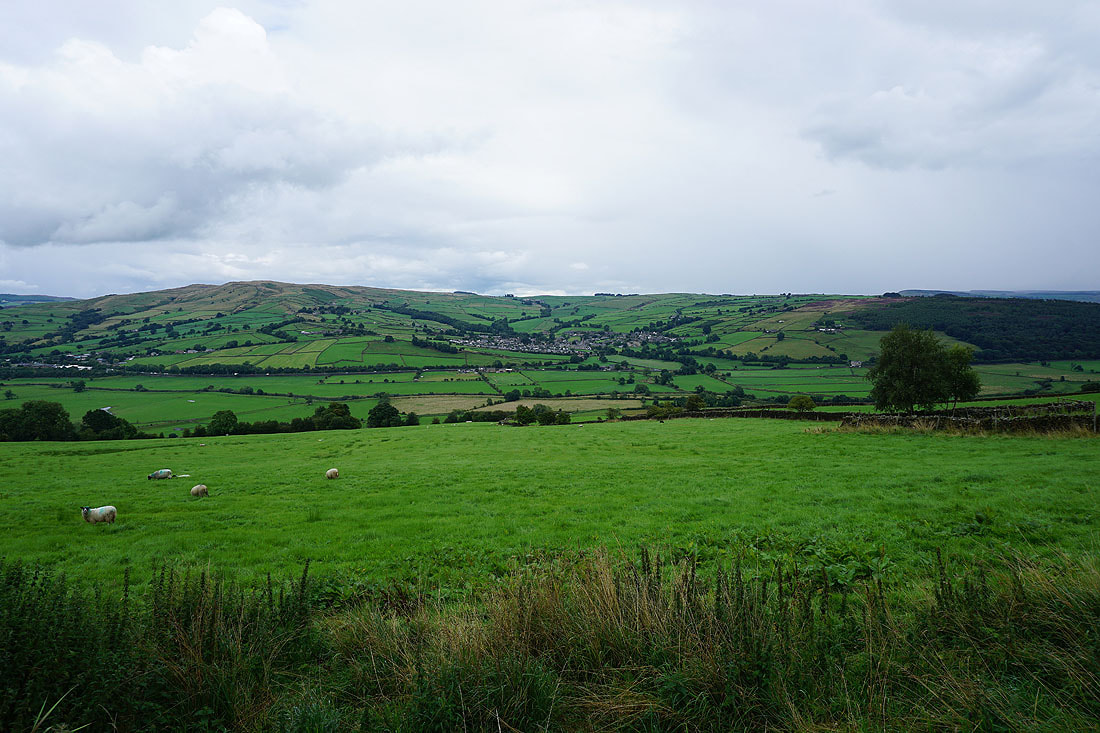
The hills of Lothersdale as I follow the Pennine Way south to Cowling Hill Lane...
Steeton Moor and Earl Crag in the distance as I approach Cowling Hill Lane
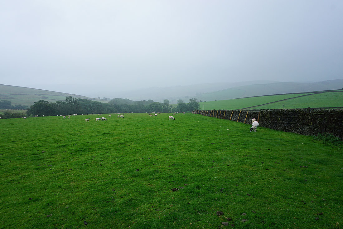
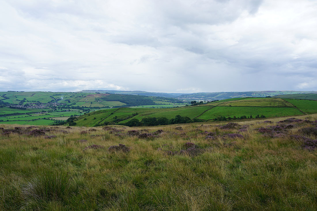
Sunshine on the moors of Lothersdale with Skipton Moor in the distance
Cowling beneath Earl Crag from Cowling Hill Lane
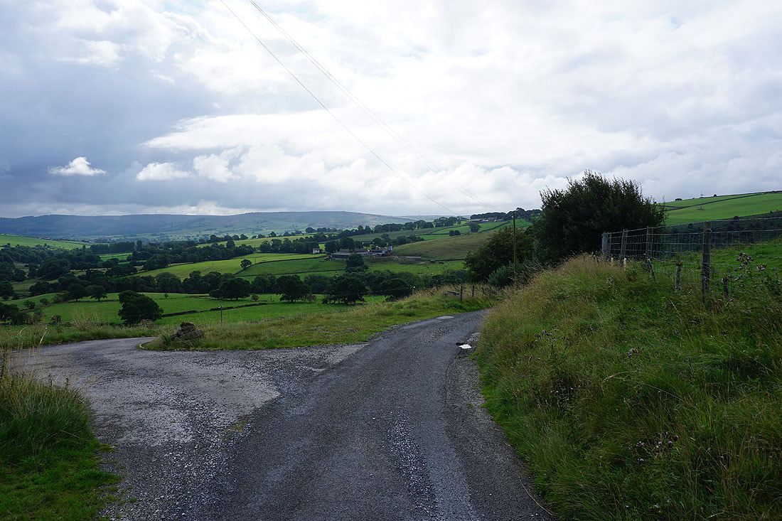
Looking back up at the hamlet of Cowling Hill as I leave Long Lane for the byway down to Leys Beck
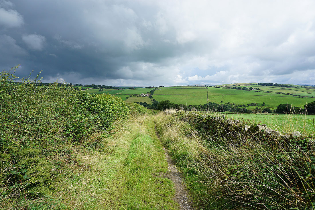
The byway heads down to Leys Beck and then up past Leys House to Leys Lane
Taking shelter by Leys Beck. The dark clouds that were threatening have resulted in a heavy shower.
After a fifteen minute wait the rain starts to ease off and I make my way up to Leys Lane. Brighter skies to the west around Lothersdale.
After a brief walk along Lothersdale Road I take a footpath north past the ruins of Cononley Lead Mine to Great Gib Farm
At Great Gib Farm
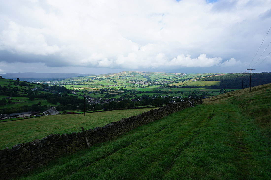
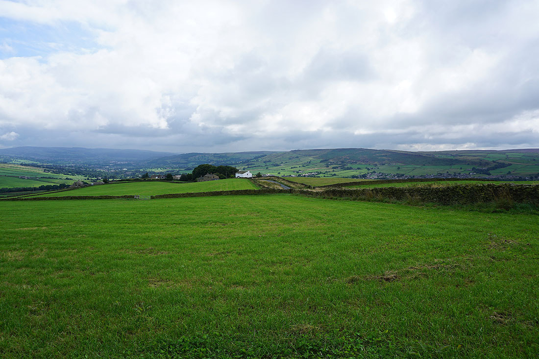
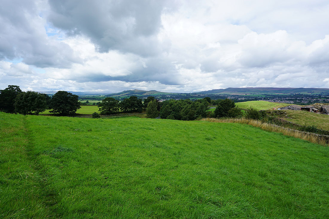
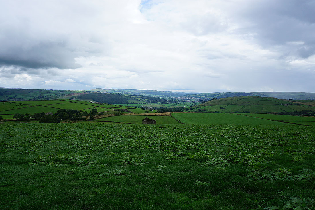
Airedale comes into view as I follow the footpath from Great Gib Farm down to Cononley...
Looking down on Cononley and Airedale as I take the footpath from Woodside Lane up to Stockshott Lane..
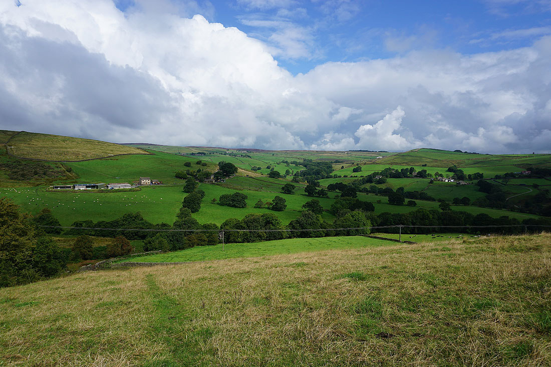
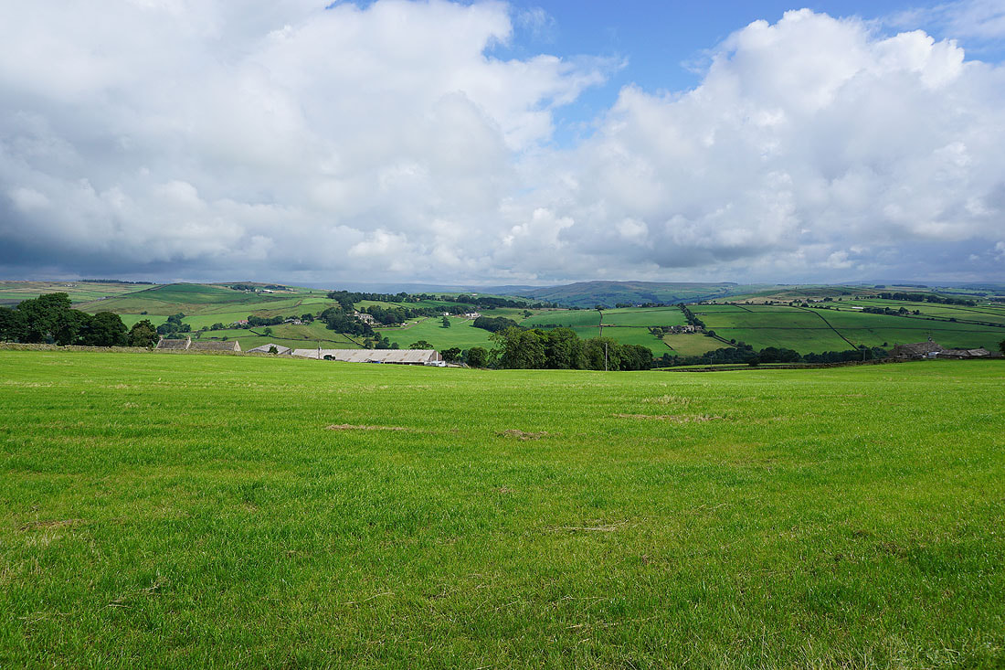
Skipton Moor and Bradley on the other side of Airedale as I walk north along Stockshott Lane..
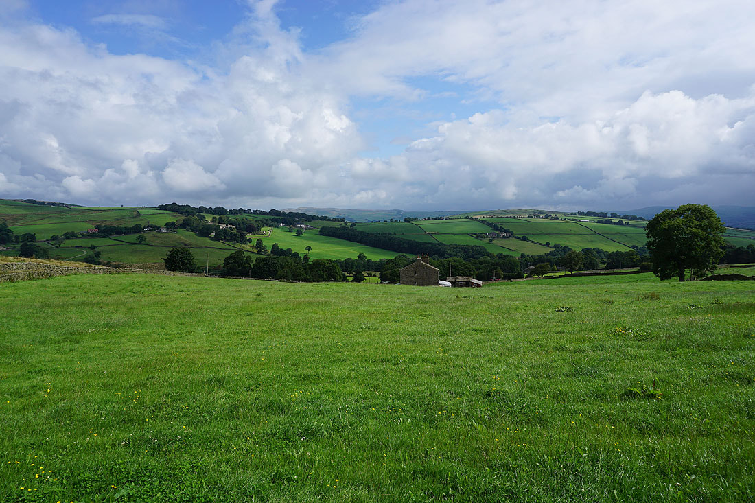
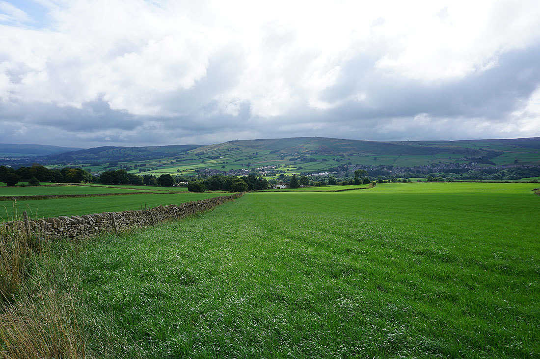
Sharp Haw and Barden Moor in the distance as I finally leave the road behind at Carleton Biggin
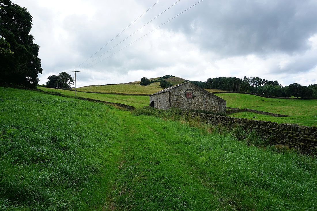
On the footpath up past Low Barn to Ramshaw
Skipton with Barden Moor beyond comes into view as I make my way up Ramshaw
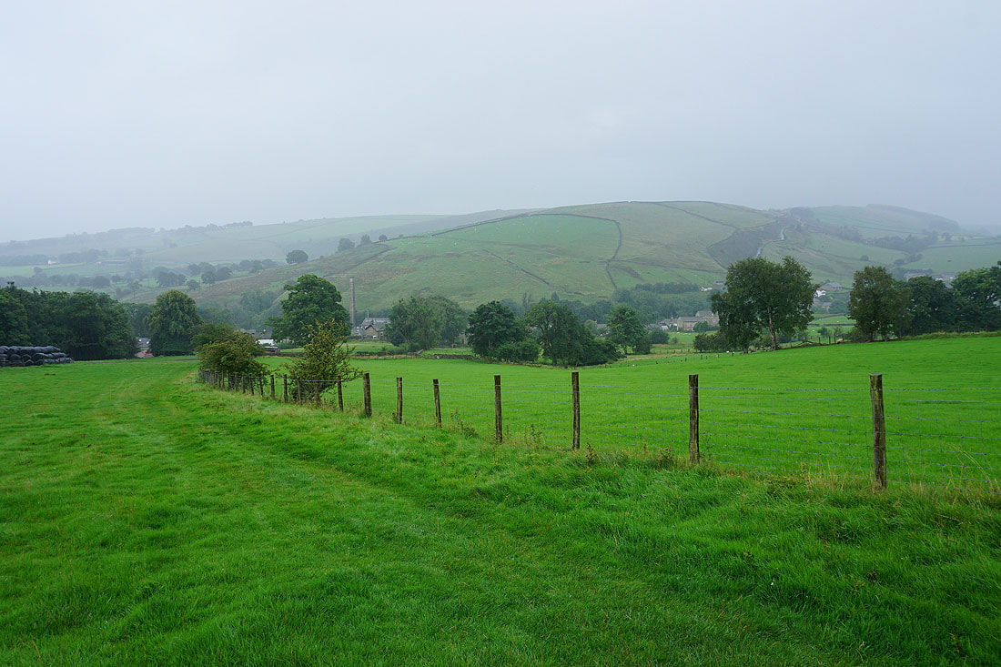
Bradley, Farnhill Moor and Airedale
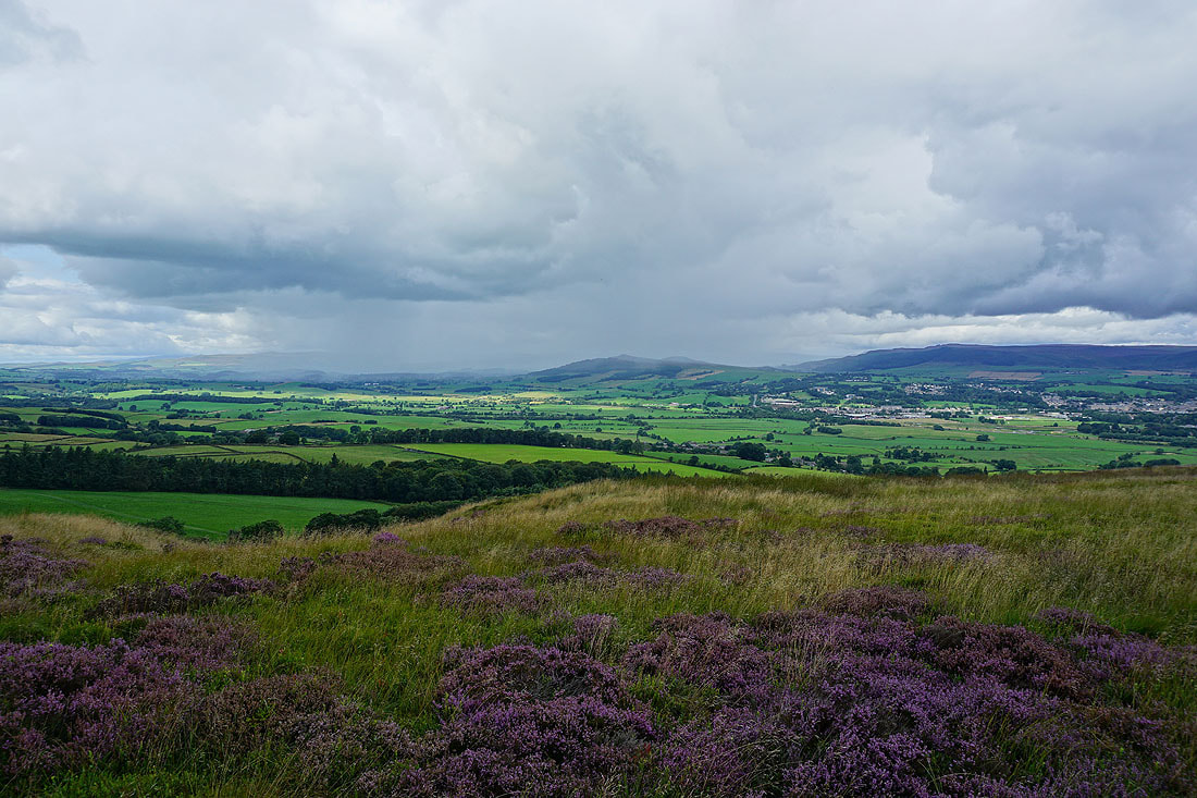
On Ramshaw and there's no ignoring the dark clouds and showers that are gathering to the north
Looking northeast along Ramshaw to Skipton and Skipton Moor
Heading up Ramshaw to Burnt Hill
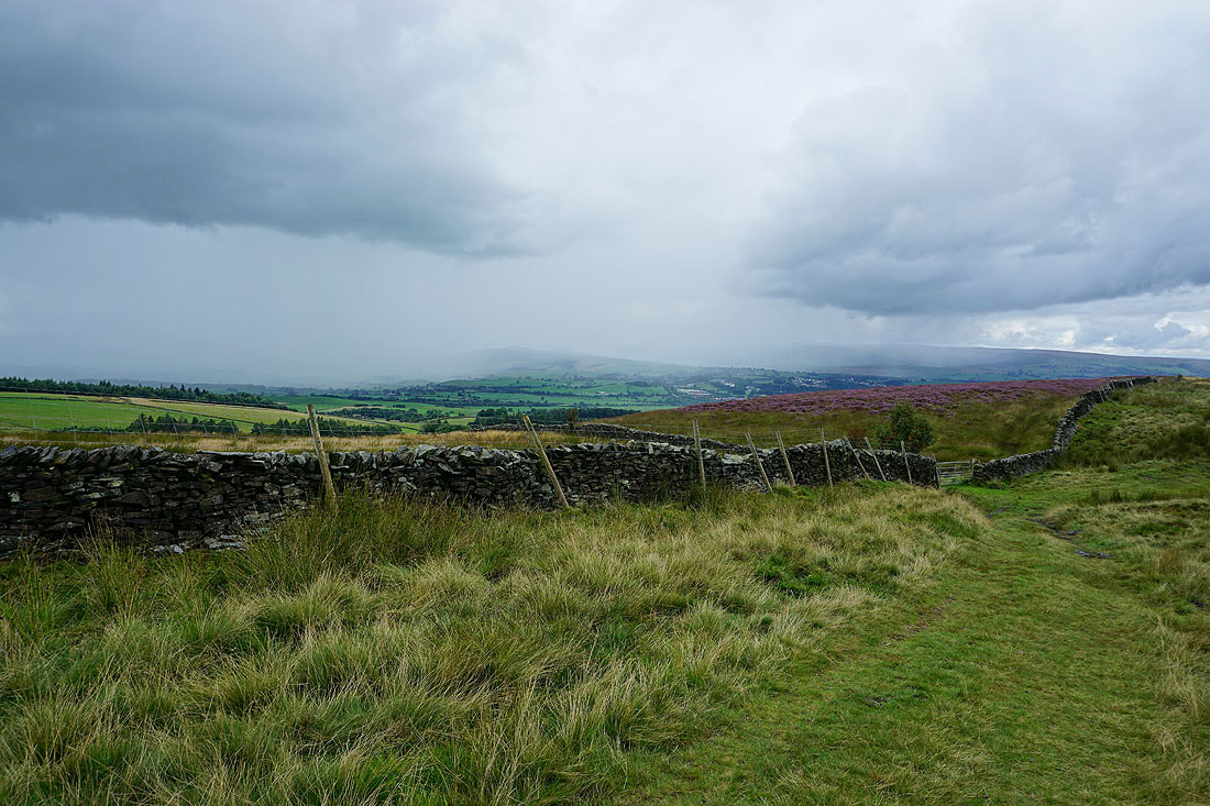
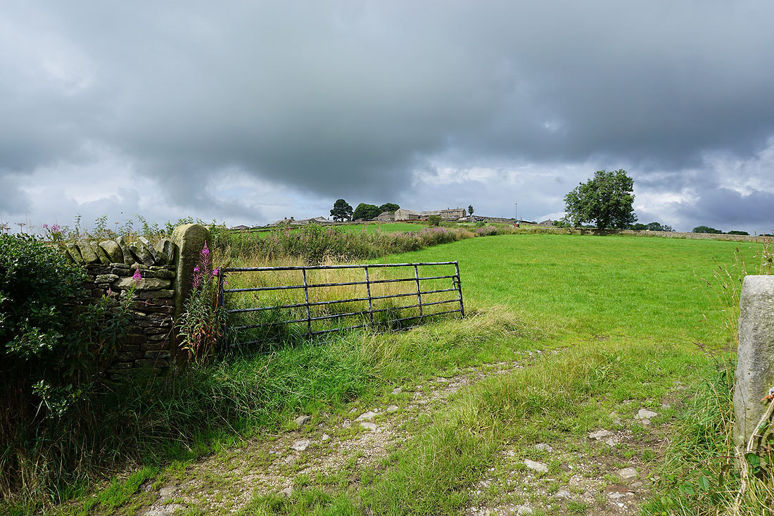
Drystone walls, gates, and a bit of heather provide foregrounds for the approaching weather on Burnt Hill...
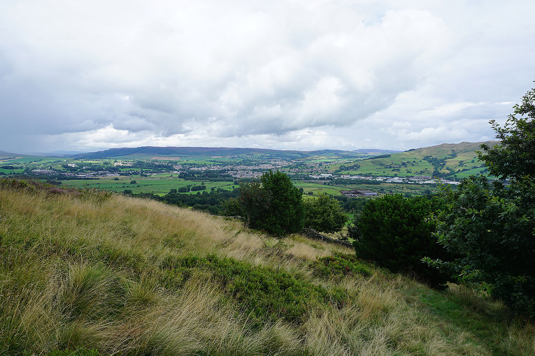
Looking down Airedale to Farnhill Moor and Steeton
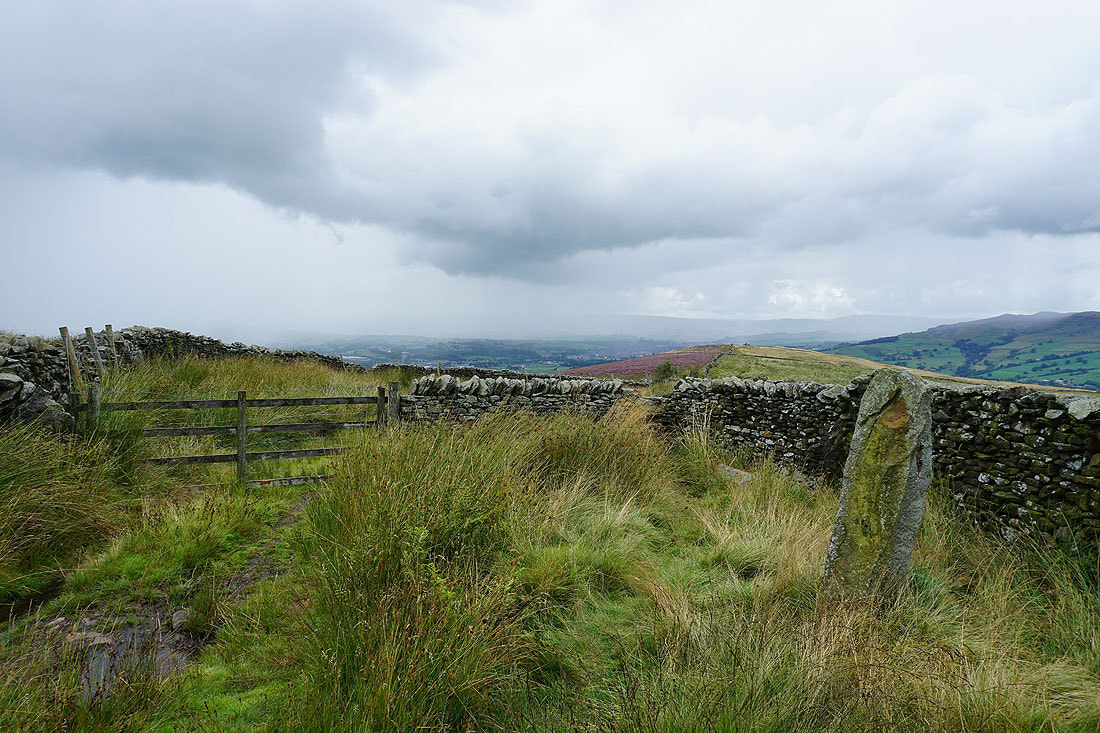
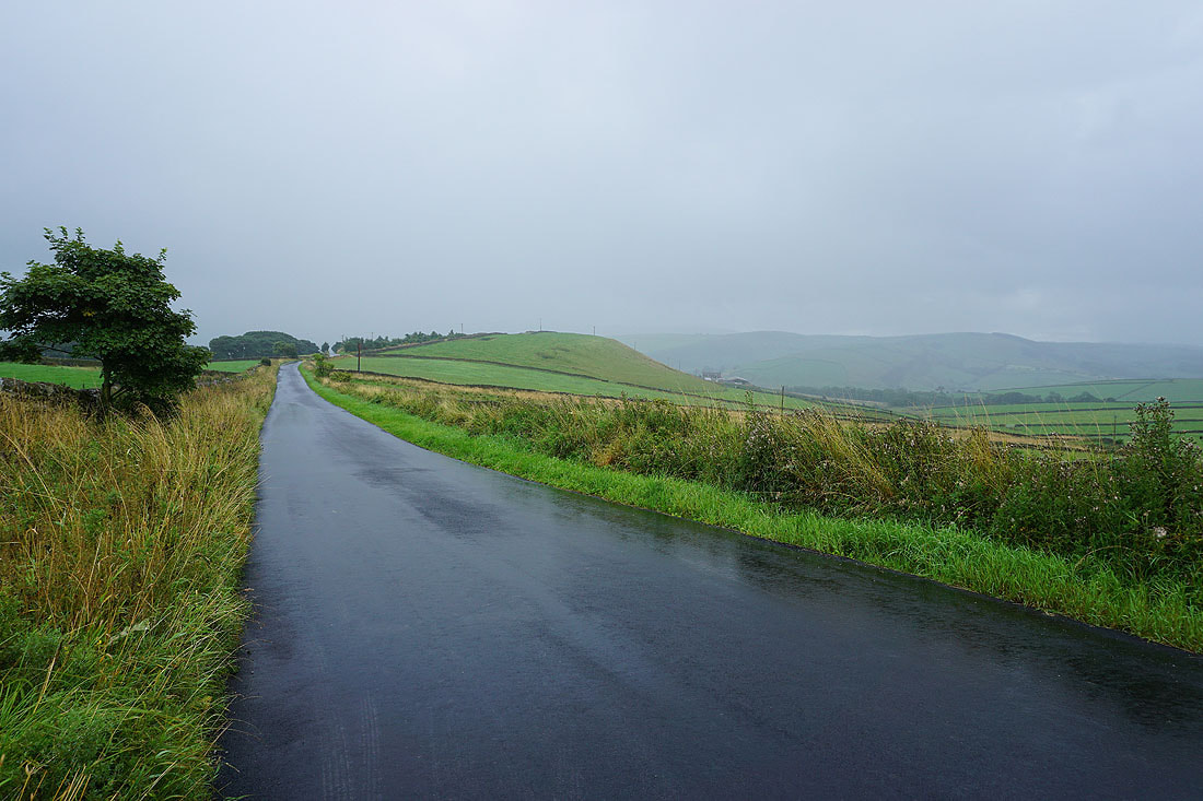
On the bridleway from Street Head Farm to Babyhouse Lane and the latest shower is easing off
Tow Top Moor from Babyhouse Lane
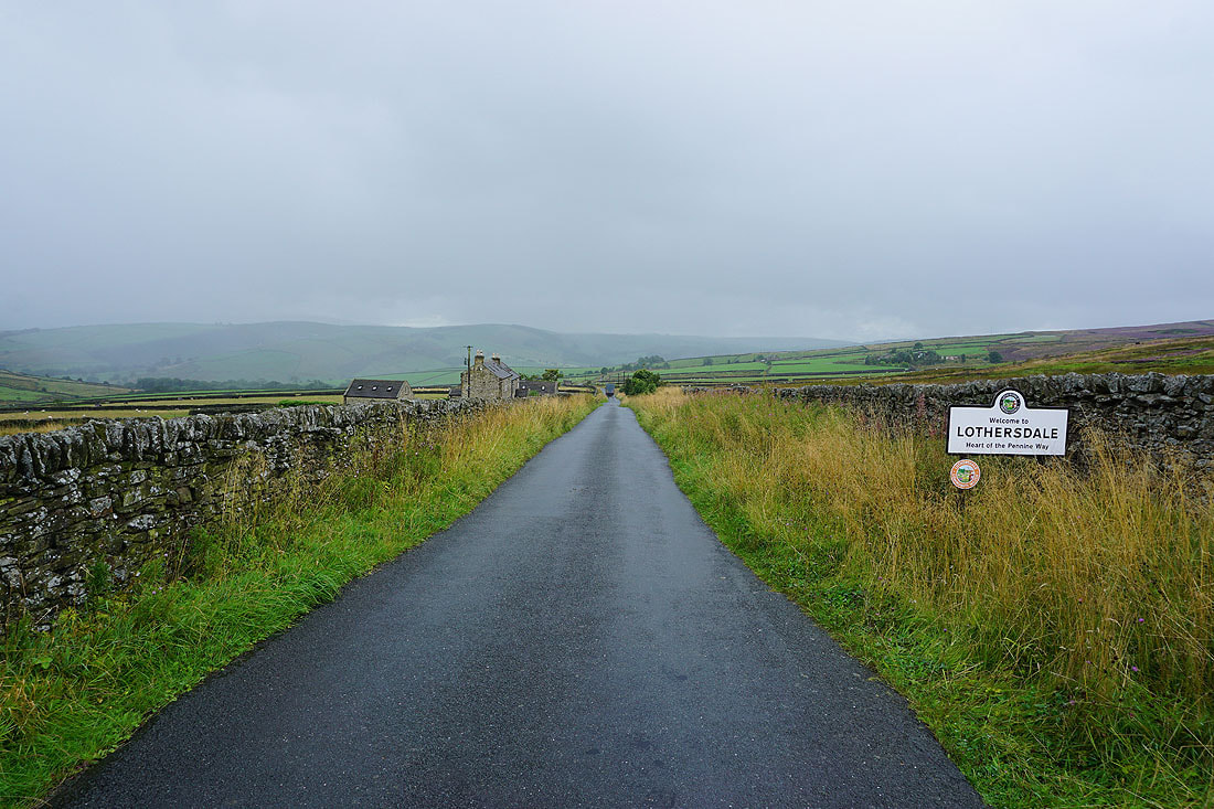
Walking down White Hill Lane into Lothersdale
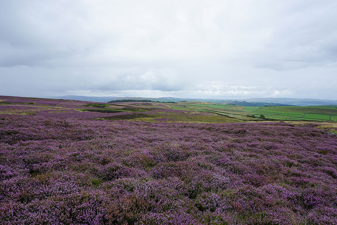
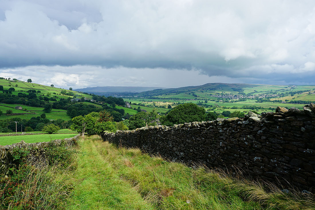
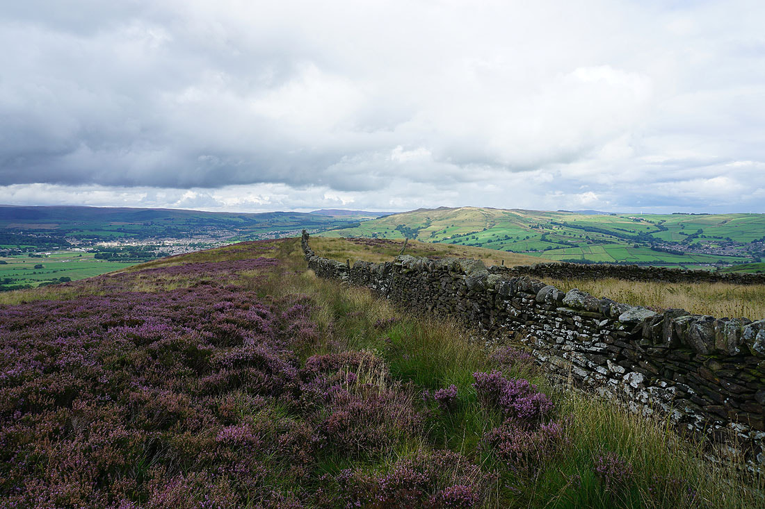
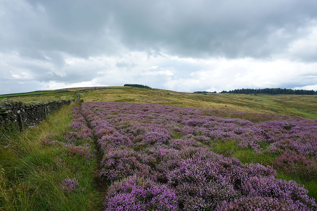
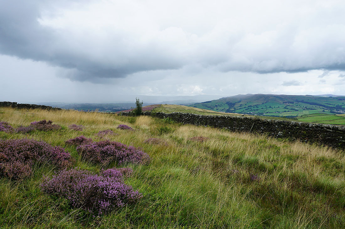
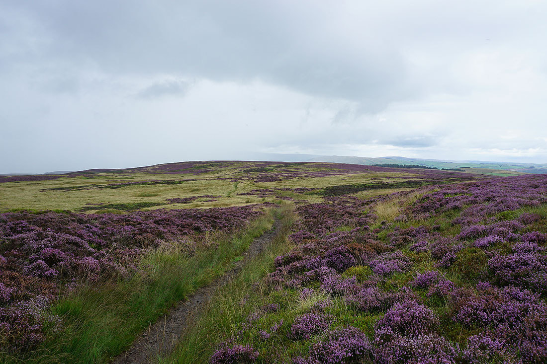
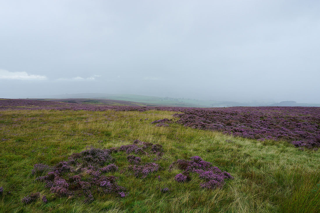
Looking east across a heather covered Carleton Moor from the Pennine Way up to Pinhaw Beacon
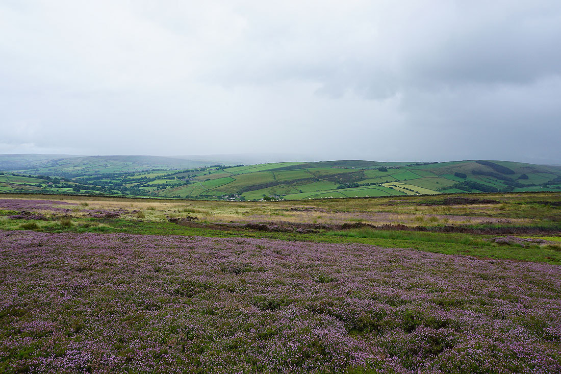
and south across Lothersdale
Elslack Moor
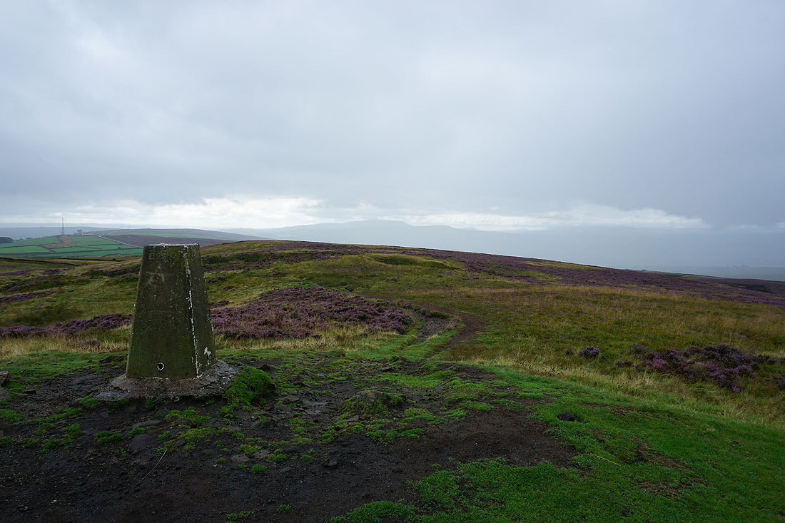
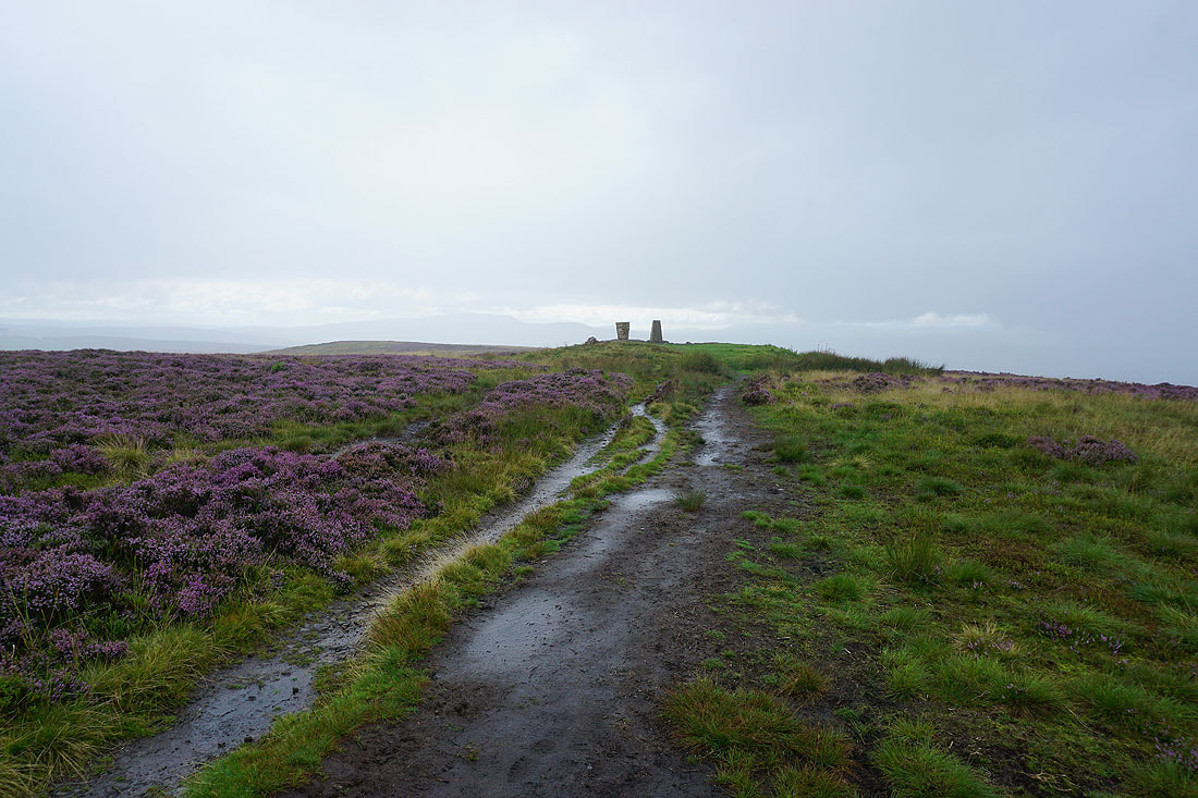
At the trig point on Pinhaw Beacon. The approaching rain is starting to hide my view of Pendle Hill to the southwest.
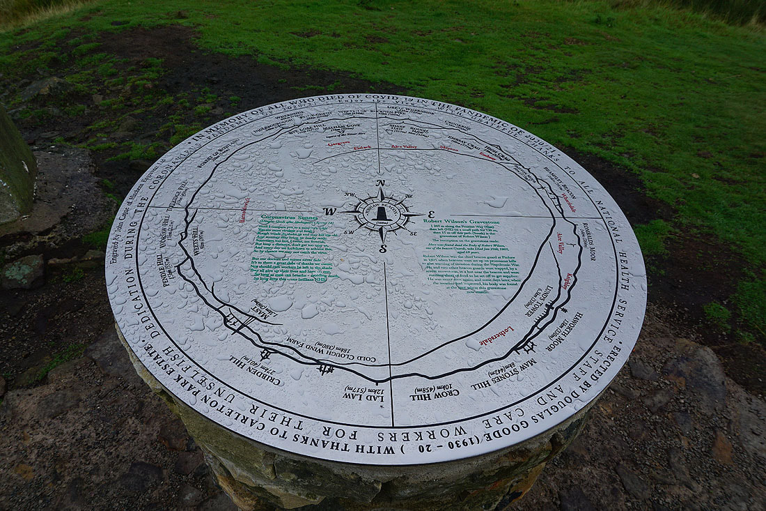
This view indicator is new
The Yorkshire Dales have disappeared behind the falling rain
Looking back to the trig point as I leave Pinhaw Beacon on the Pennine Way
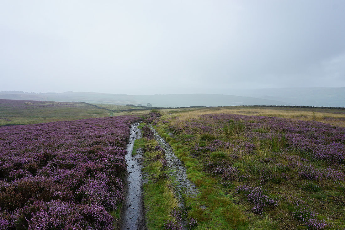
Following the Pennine Way back to Lothersdale in the rain...