22nd February 2009 - Randygill Top and Green Bell
Walk Details
Distance walked: 7.7 miles
Total ascent: 1796 ft
OS map used: OL19 - Howgill Fells & Upper Eden Valley
Time taken: 4.5 hrs
Route description: Brow Foot-Potts-Hooksey-Leathgill Bridge-Randygill Top-Stockless-Green Bell-Stwarth-Weasdale-Scar Sikes-Potts-Brow Foot
A walk in the northeastern Howgills taking in the summits of Randygill Top and Green Bell.
I started this walk from the minor road just off the A685 at Brow Foot. I followed the road to its end and then along a tractor track that heads up the ridge of Hooksey. From Hooksey I crossed Leathgill Bridge and up to the summit of Randygill Top. I then walked across to the summit of Green Bell before descending to the hamlet of Weasdale. I made my way back to the start by a path through Weasdale Nursery.
Route map
© Crown copyright. All rights reserved. License number PU 100034184.
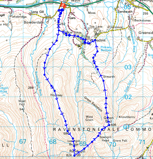
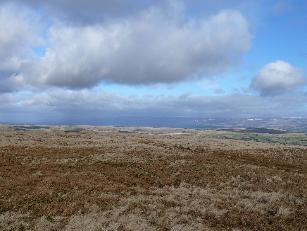
Farmland from the start of the walk by the roadside at Brow Foot
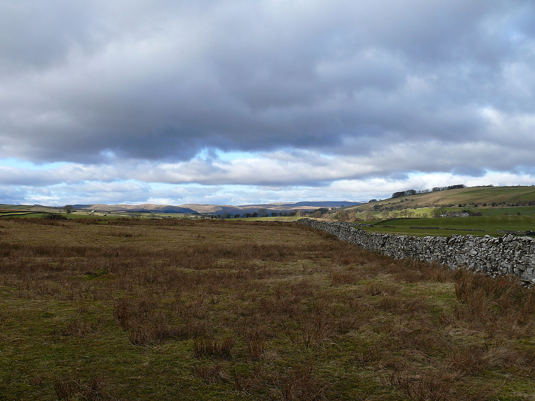
The first part of the walk ahead, the ridge of Hooksey
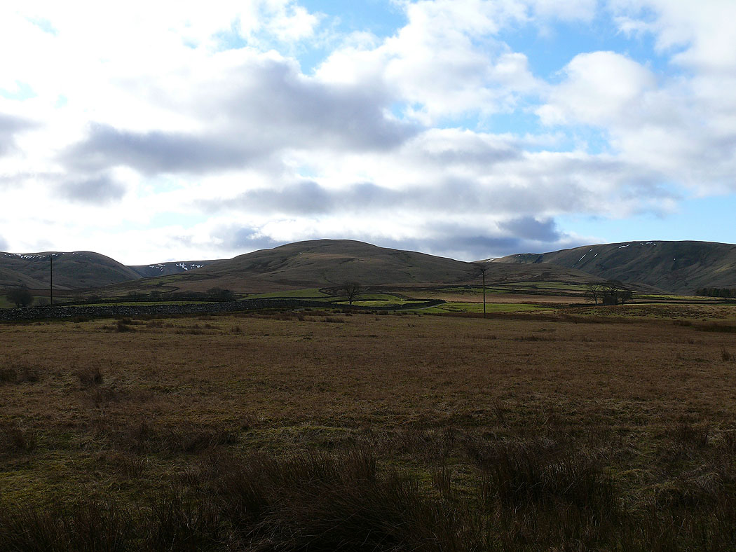
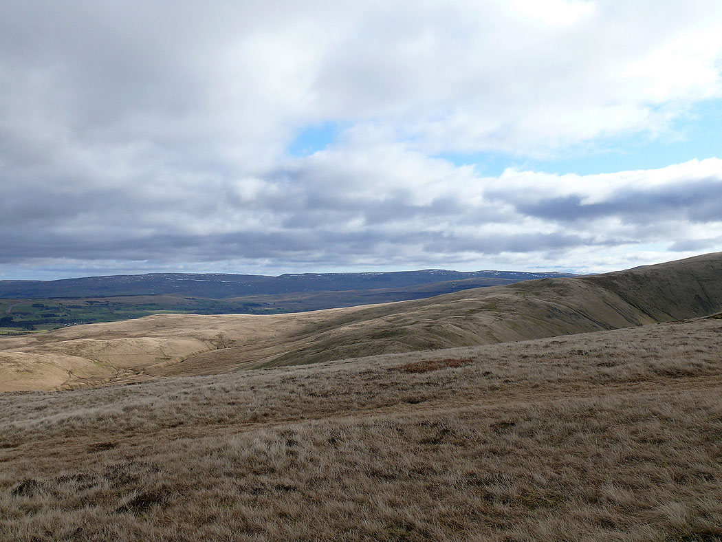
The view west to the Lake District fells over the neighbouring ridge of West Fell
My route back down on the other side of Weasdale
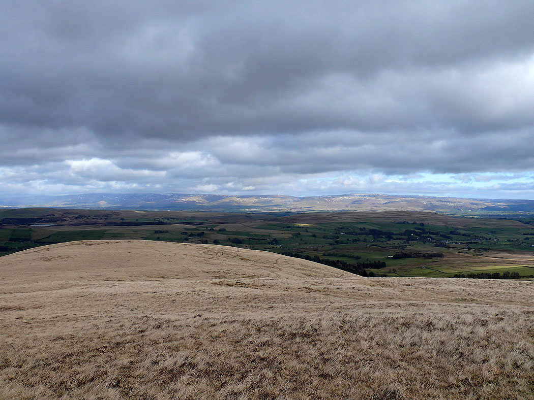
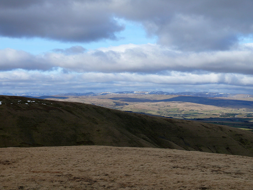
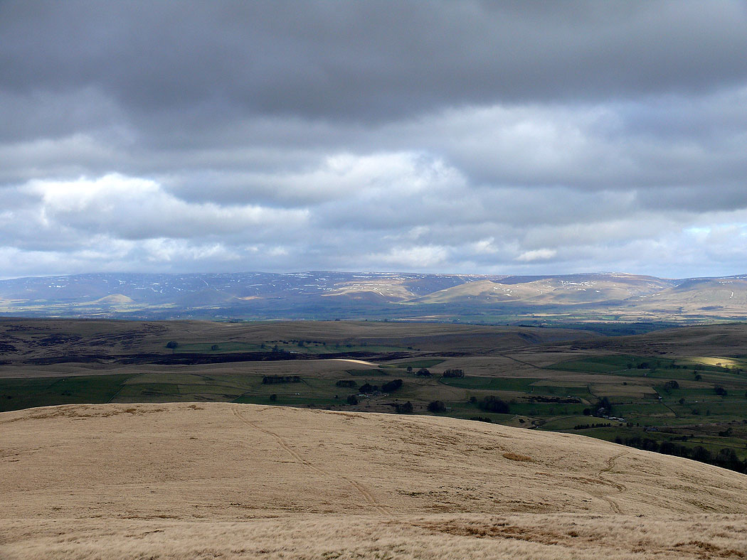
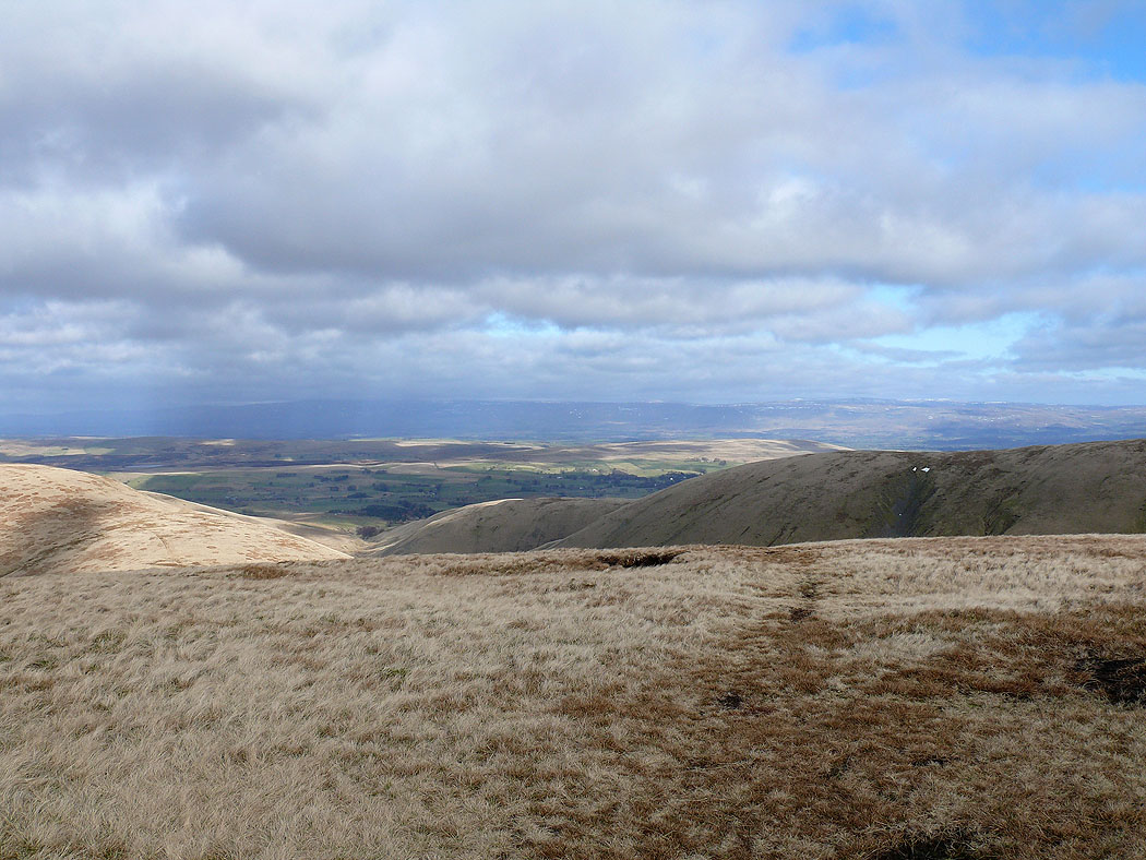
The North Pennines in the distance
Zooming in
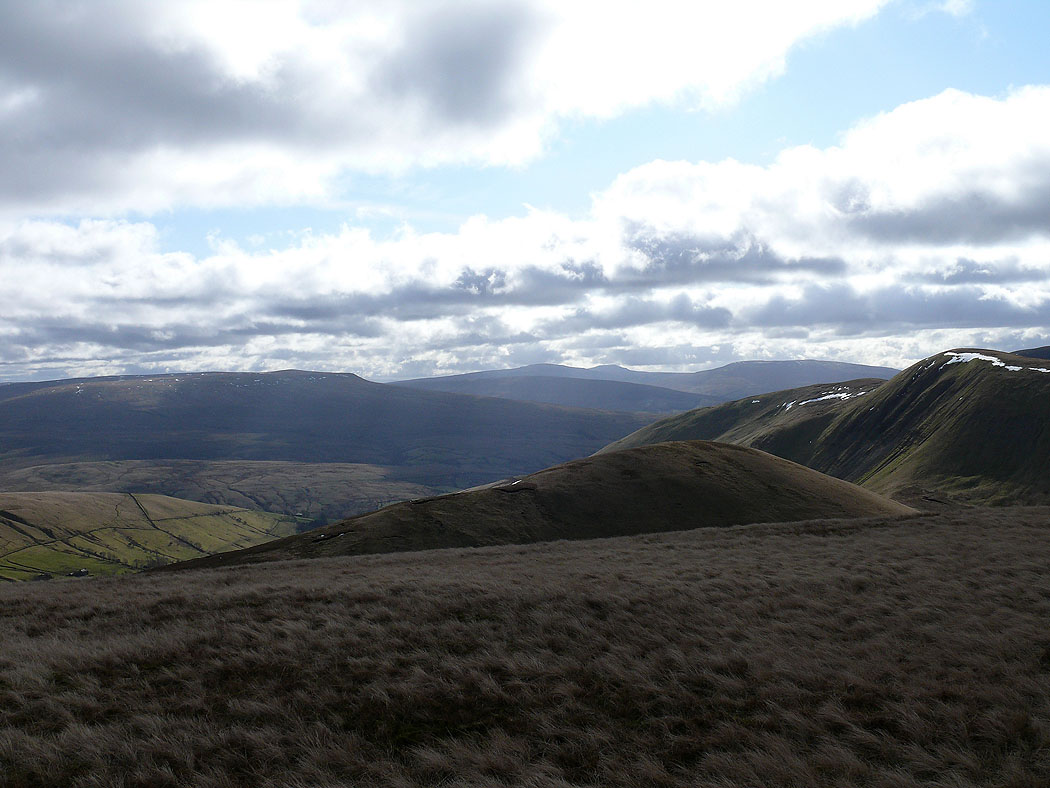
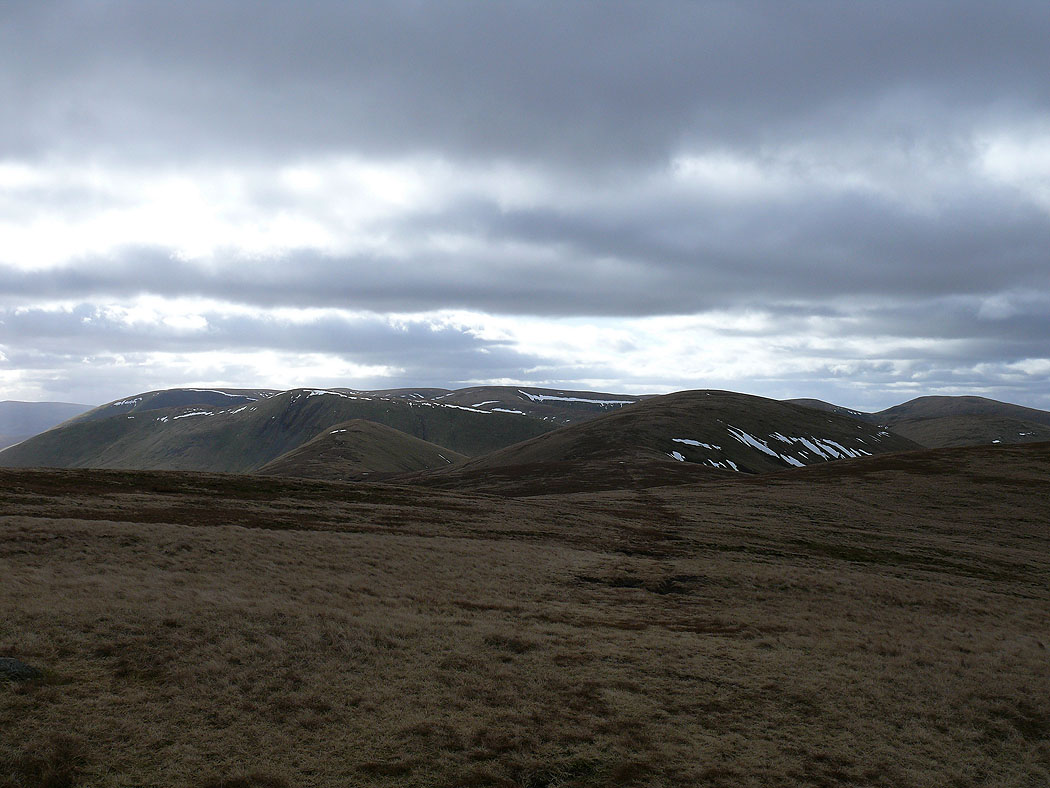
On the top of Hooksey and the view upto the high point of the Howgills, The Calf
The North Pennines in the distance
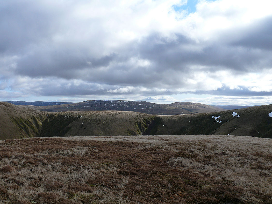
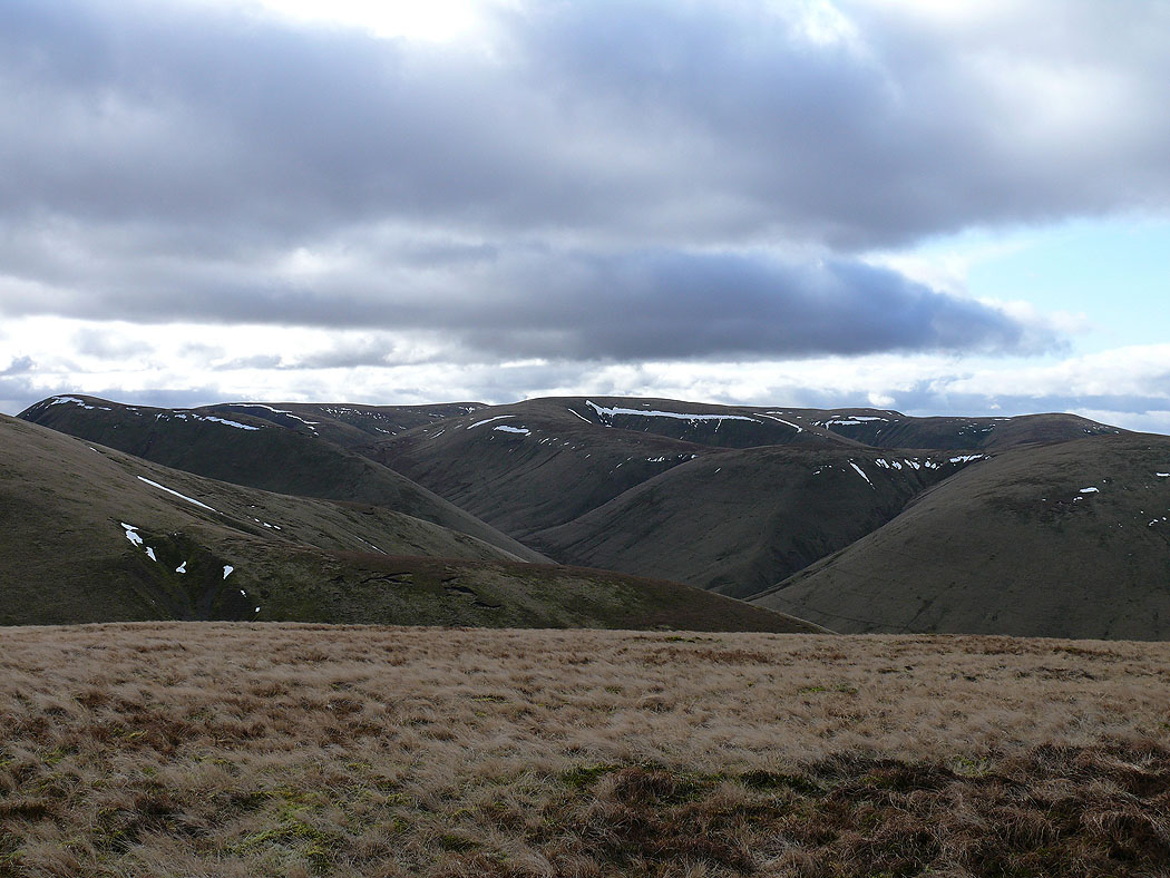
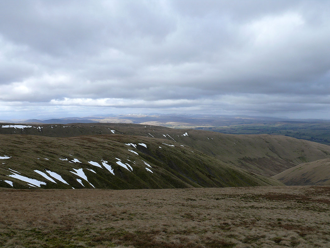
Wild Boar Fell and Swarth Fell
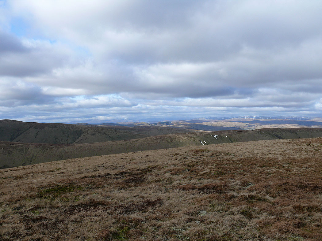
Distant Lakeland fells
Breaks Head and Simon's Seat
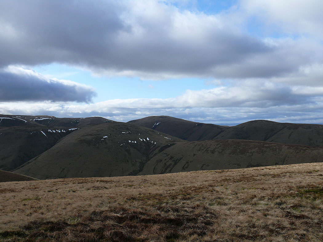
On the summit of Randygill Top. On the left is Baugh Fell and Ingleborough can be made out in the distance in the middle of the picture. On the right is the lower summit of Kensgriff and then Yarlside.
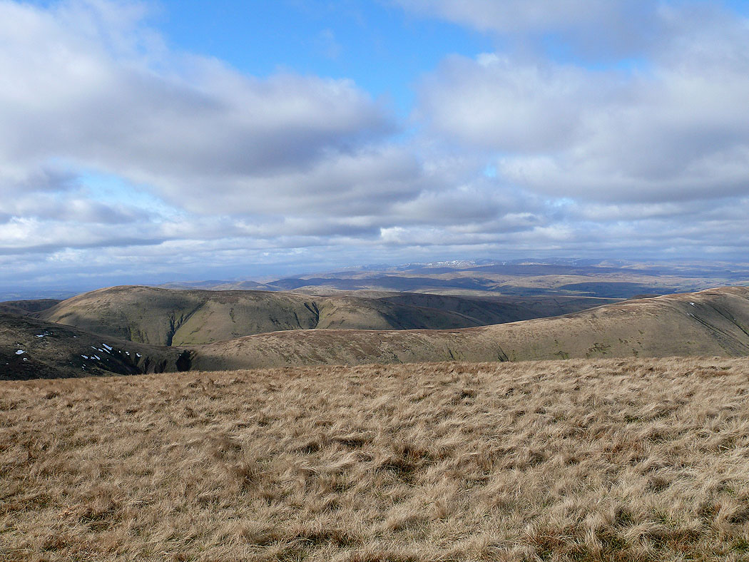
Wild Boar Fell and Swarth Fell with Wandale Hill below
The North Pennines in the distance
Lake District fells in the distance
On the summit of Green Bell and the view back to Randygill Top
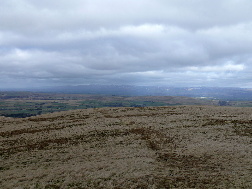
The view across to the North Pennines from Green Bell
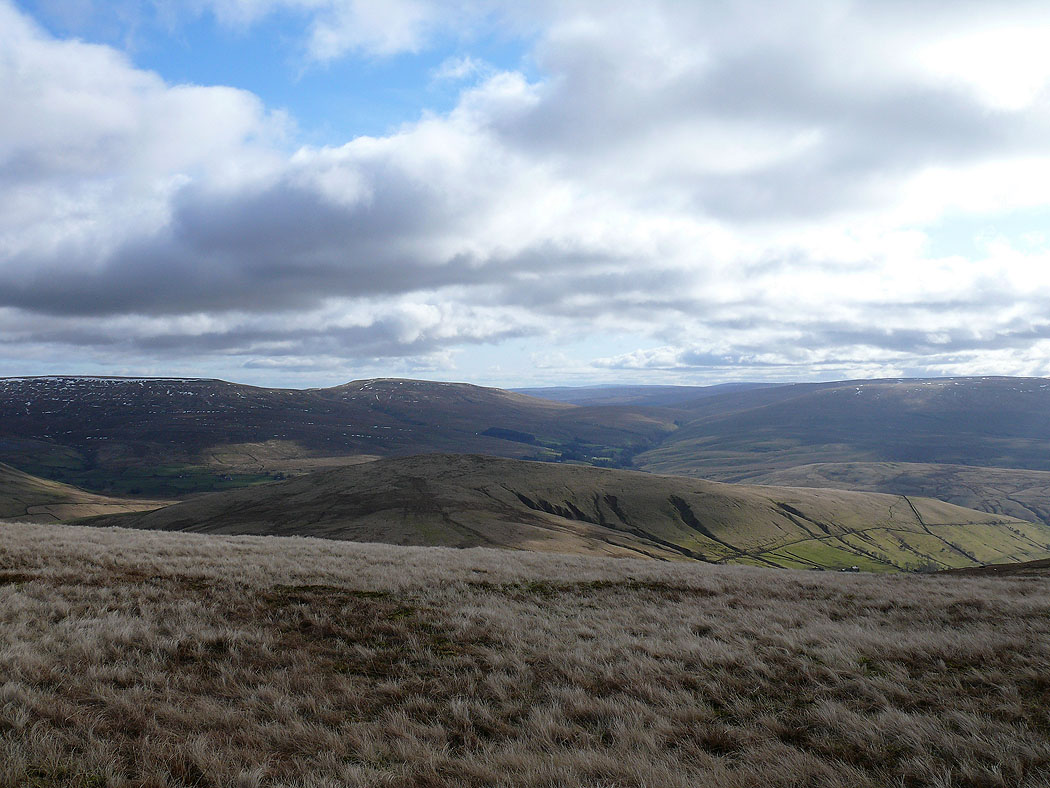
My route of ascent, the ridge of Hooksey across the valley of Weasdale