22nd February 2014 - Freeholds Top
Walk Details
Distance walked: 6.0 miles
Total ascent: 1235 ft
OS map used: OL21 - South Pennines
Time taken: 4 hrs
Route description: Gauxholme-Law Hey Farm-Foul Clough Road-Freeholds Top-Gorpley Clough-A681-Stones Wood-Gauxholme
A late start for my walk today. The weather was better than forecast and I hadn't really made any plans, so it was 1130 when I arrived in Gauxholme after the short drive across from Rossendale. Freeholds Top and Gorpley Clough were places I had never visited before but after todays positive impression I'll do this walk again. The sunshine of earlier in the day had disappeared by the time I reached Gorpley Clough, I think having it shining through the trees would have made the walk down even better.
From Gauxholme there was a steep start as I followed a track up and across the moor to the bridleway of Foul Clough Road. I left this when I was above Ramsden Clough to head for the summit of Freeholds Top. I then followed the watershed to the northwest before taking the path down to Gorpley Reservoir and into Gorpley Clough. At the end of Gorpley Clough I crossed the A681 to Stones Wood and the path back into Gauxholme.
Route map
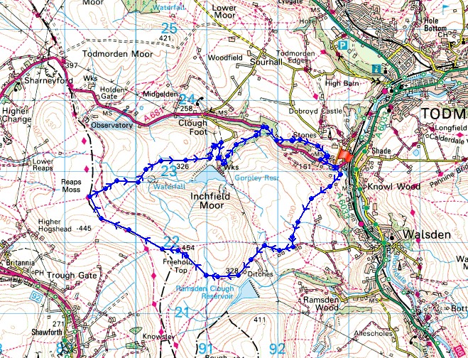
© Crown copyright. All rights reserved. License number PU 100034184.
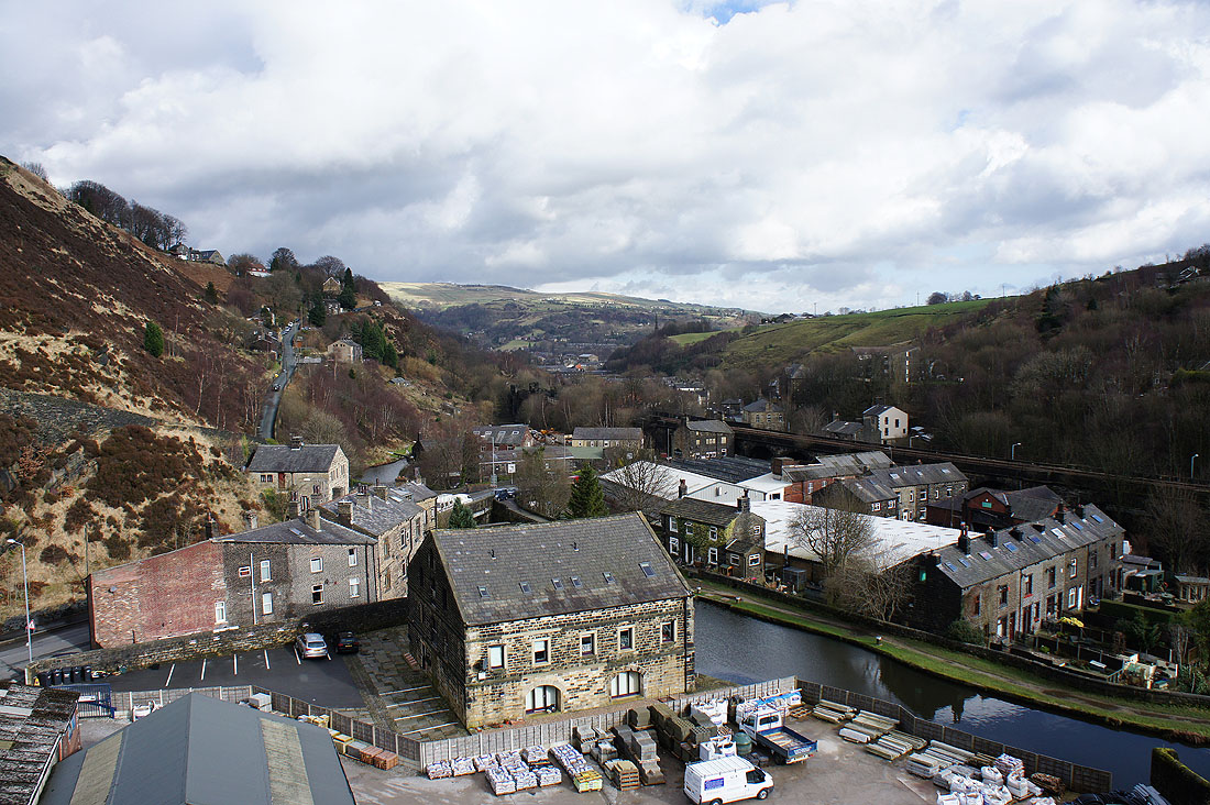
Climbing above Gauxholme with the Rochdale Canal below
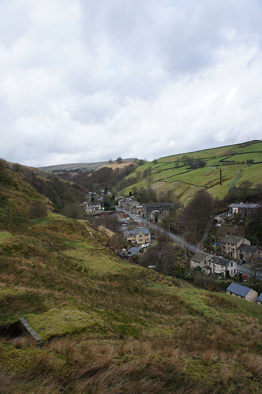
The road across to Rossendale
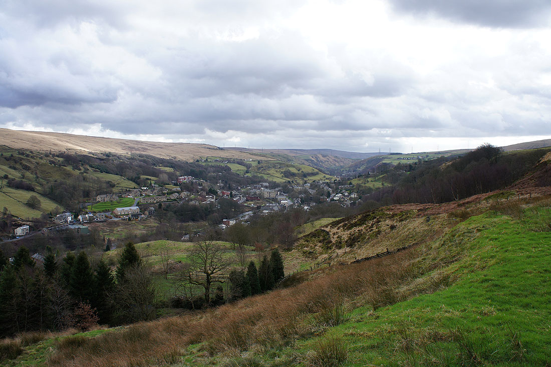
Looking up the valley to Walsden
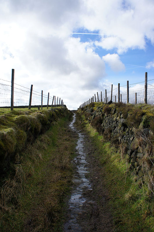
Steep soggy path uphill
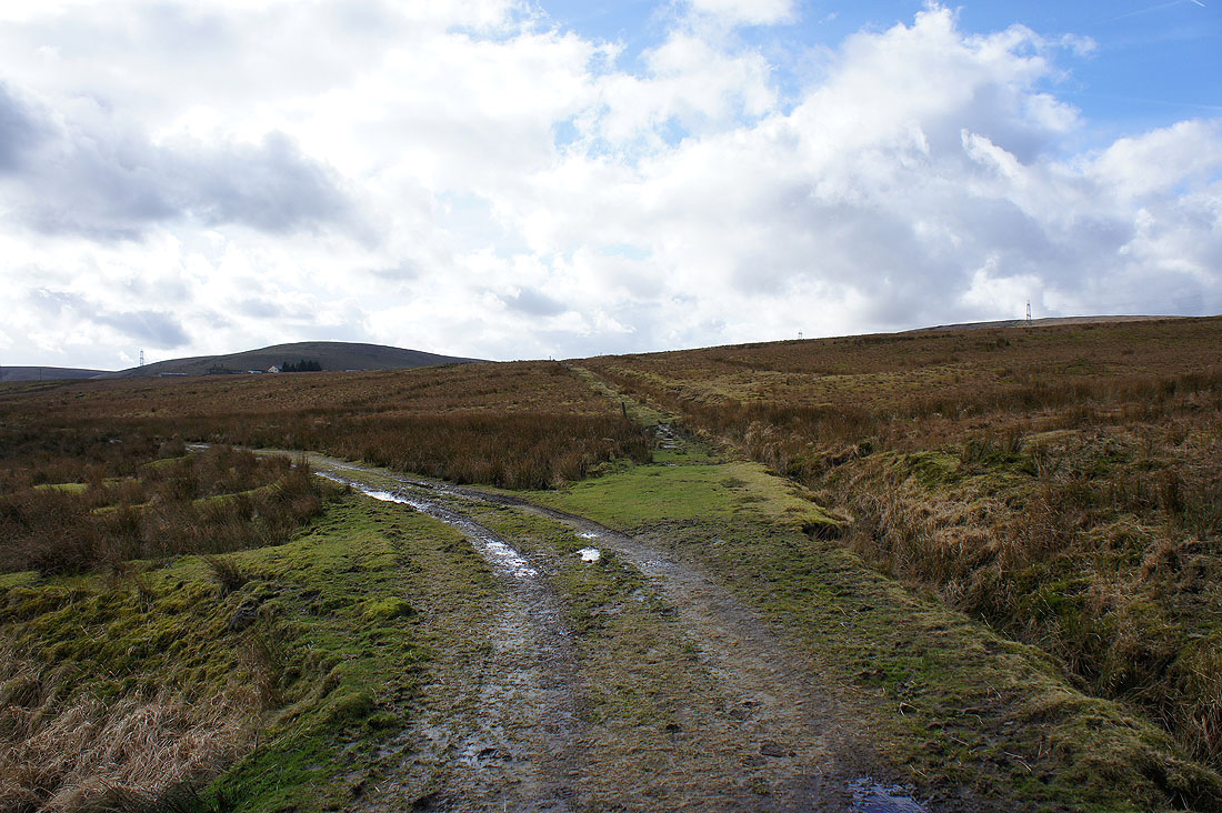
Up on the moor and I'm heading for Foul Clough Road. It's straight ahead at this junction.
Turning around to look back down into Calderdale. The Stoodley Pike monument can be seen on the hillside on the right.
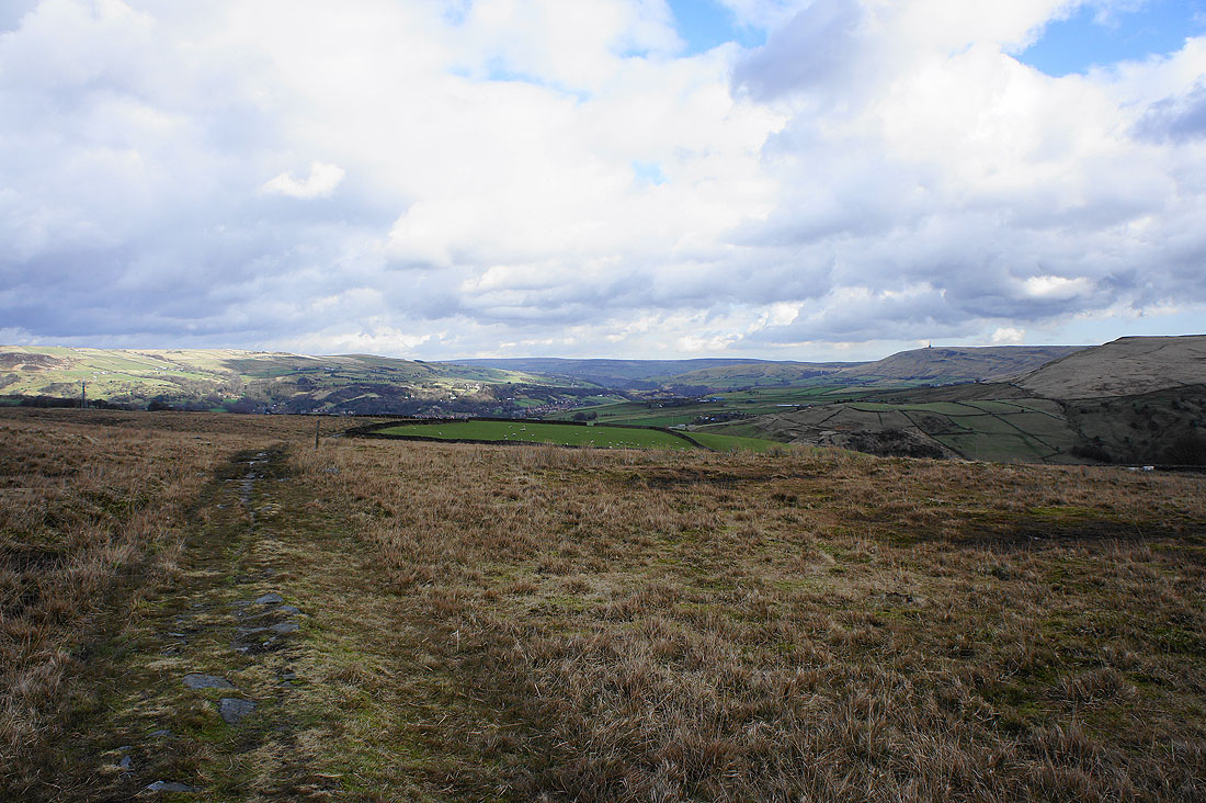
On the bridleway of Foul Clough Road
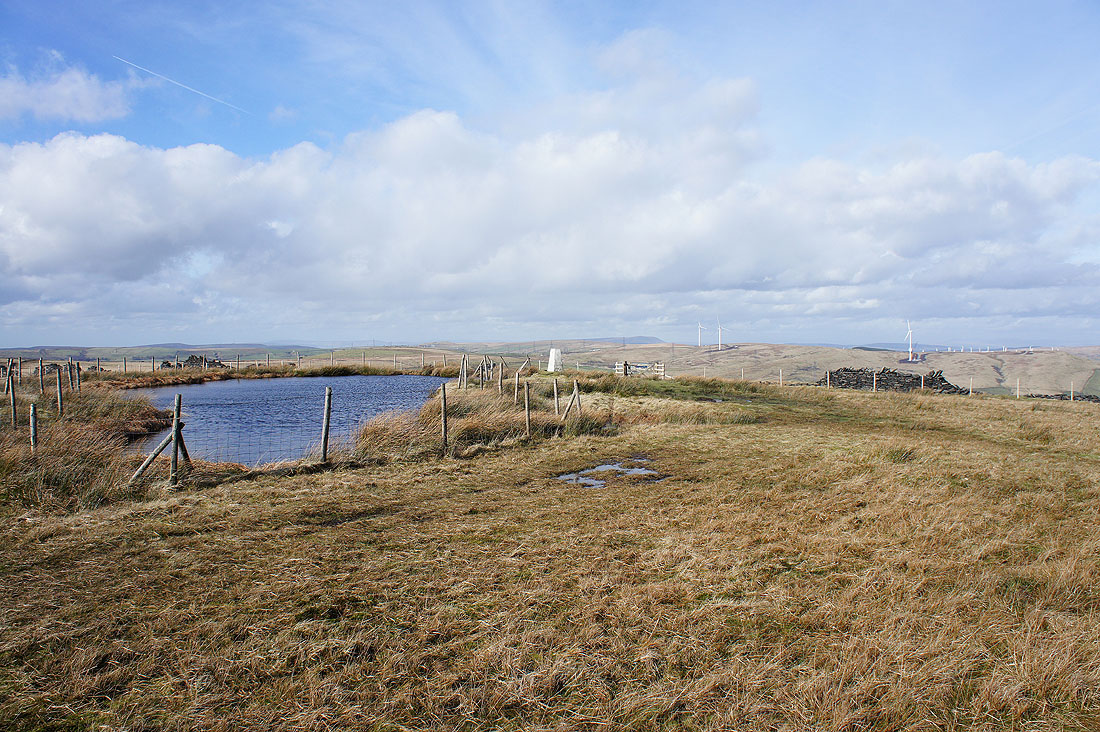
On the summit of Freeholds Top with its fenced off pool. The outline of Pendle Hill can be seen in the distance.
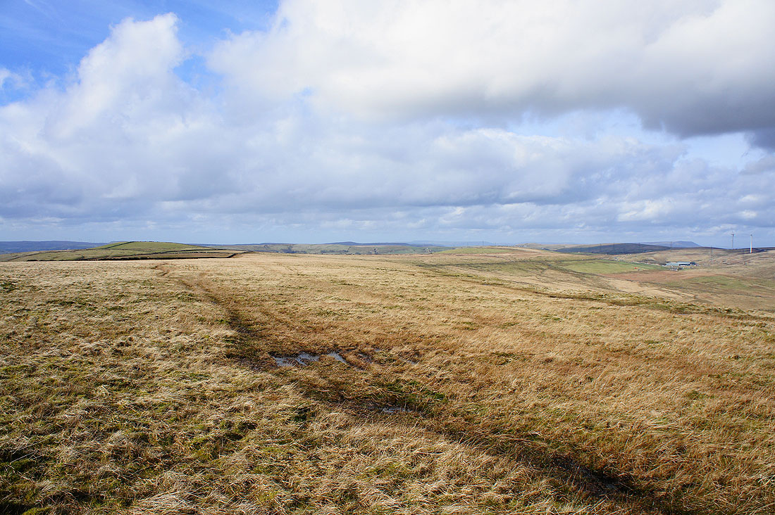
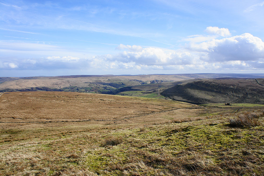
A great all round view today. The moors of the watershed stretch away to the northwest.
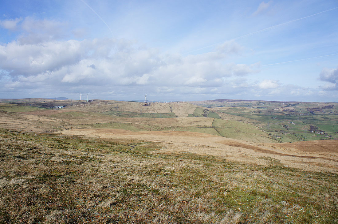
Todmorden Moor, with its new windfarm going up and Hoof Stones Height to the north. This new addition to the landscape makes it five windfarms that are visible from here. The others are Scout Moor and Oswaldtwistle Moor to the west, Coal Clough to the north and Ovenden Moor to the east.
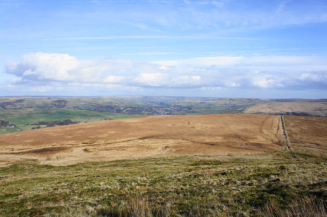
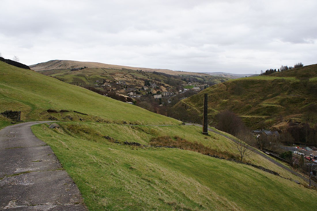
Todmorden and Calderdale
Langfield Common and the moors above the Summit gorge
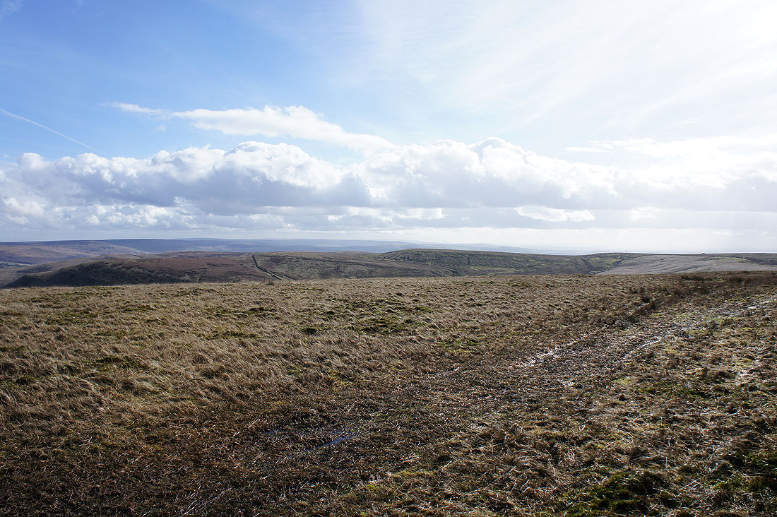
The moors of the South Pennines merge imperceptibly into the Peak District
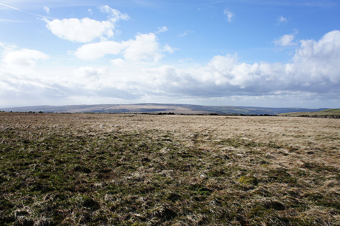
The moors above Rossendale to the west
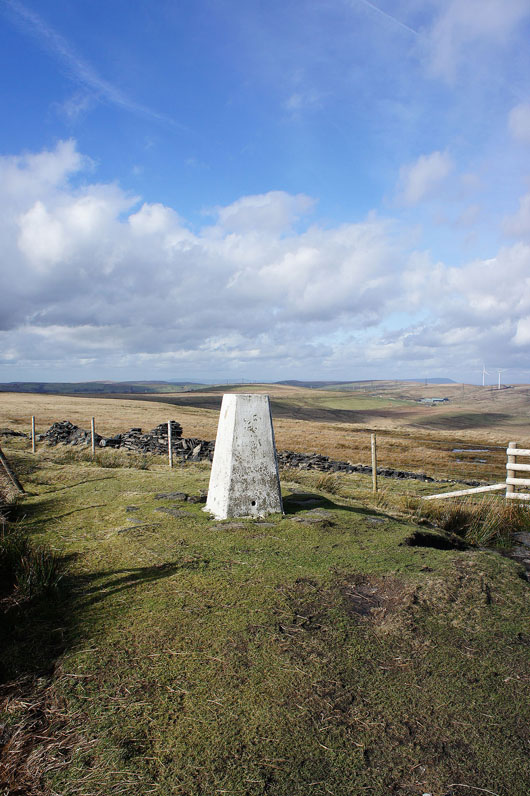
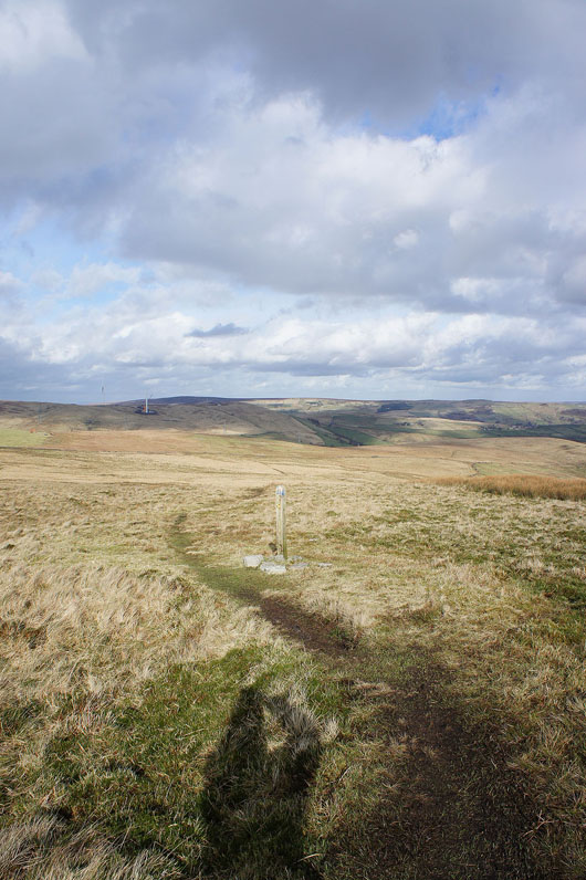
The trig point that marks the summit of Freeholds Top
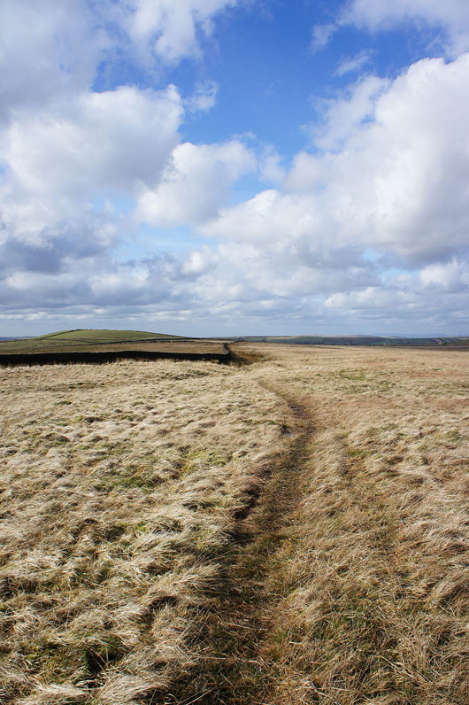
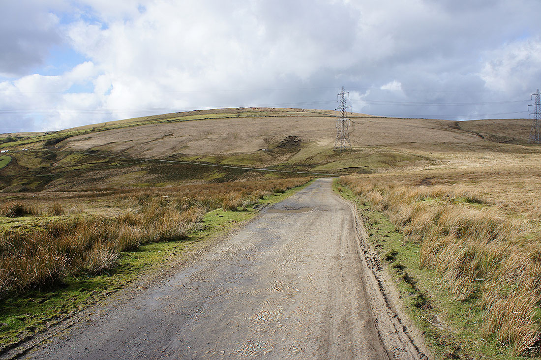
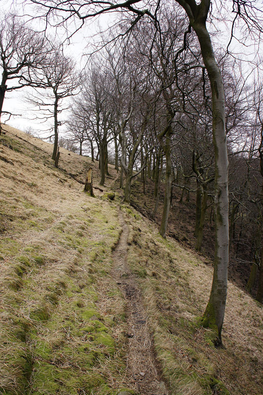
Following the watershed to the northwest
Following the path down to Gorpley Clough
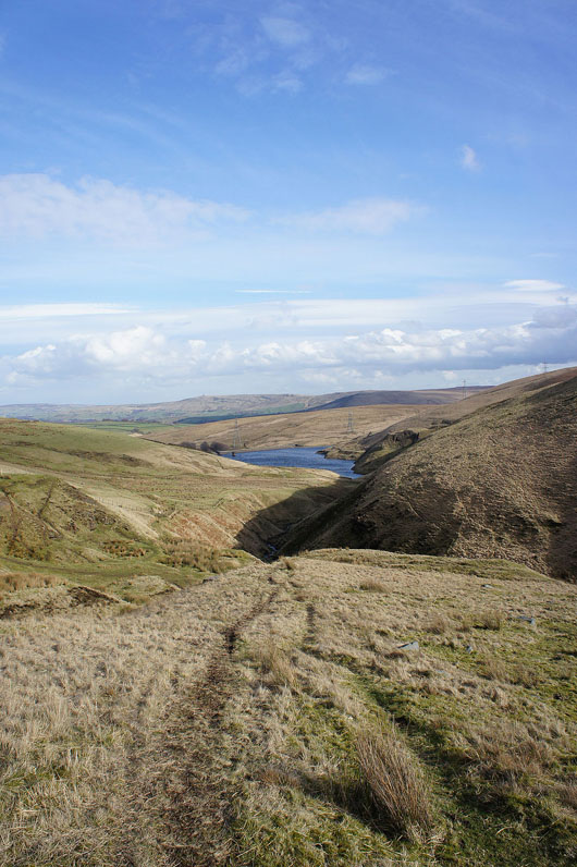
Gorpley Reservoir
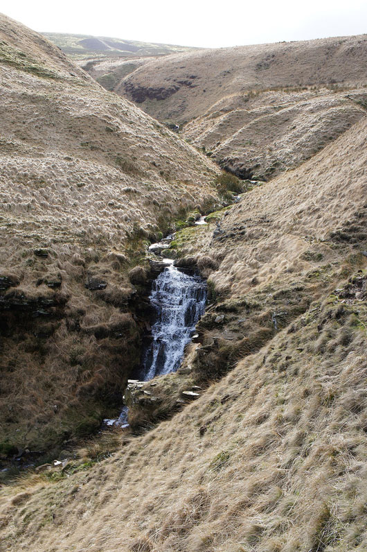
Small waterfall in the clough to my right
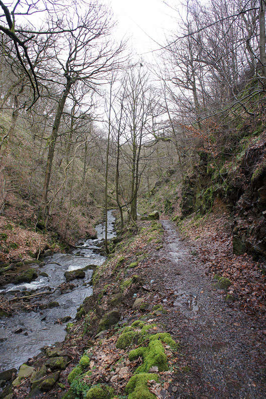
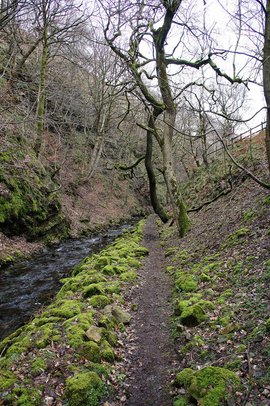
When Gorpley Reservoir is reached a footpath then heads down into the wooded ravine of Gorpley Clough
|
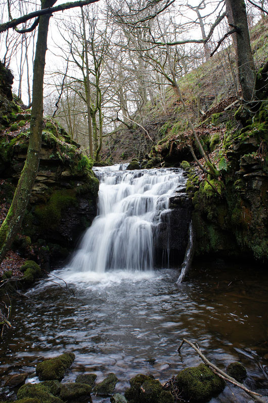
Small waterfall on Gorpley Brook
|
and a wider view of the same scene
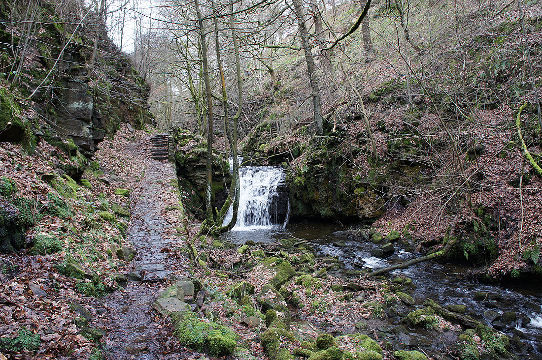
The walls of the clough steepen as I head down
|
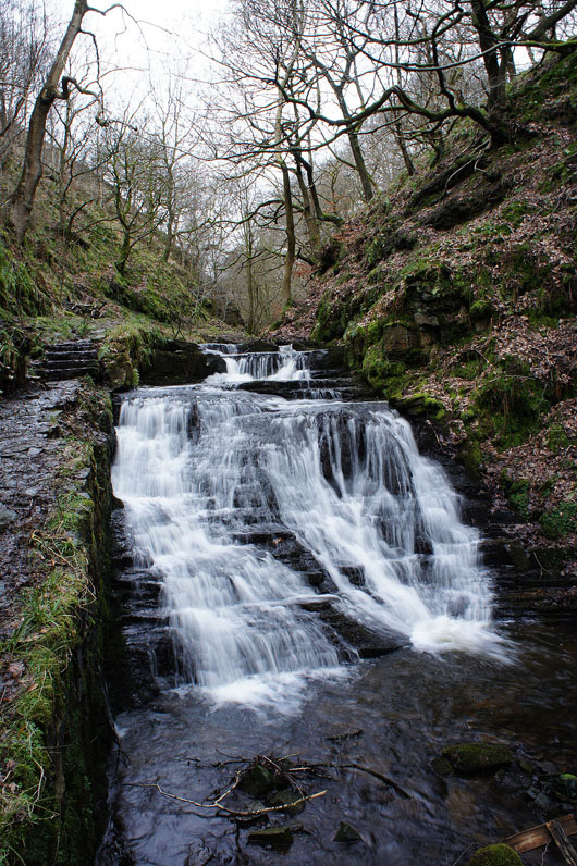
Another small waterfall is passed
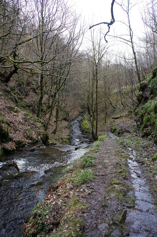
|
A little further and Gorpley Clough will end at the main road
On the other side of the A681 and heading through Stones Wood
Just a short walk back down into Gauxholme remains