22nd January 2011 - A Fairfield Horseshoe
Walk Details
Distance walked: 10.4 miles
Total ascent: 3452 ft
OS map used: OL5 - The English Lakes, North-eastern area & OL7 - The English Lakes, South-eastern area
Time taken: 6.5 hrs
Route description: Ambleside-Rydal Park-Rydal Hall-Nab Scar-Heron Pike-Great Rigg-Fairfield-Hart Crag-Dove Crag-High Pike-Low Pike-Low Sweden Bridge-Nook Lane-Ambleside
Fairfield Horseshoe from Ambleside taking in Nab Scar, Heron Pike, Great Rigg, Fairfield, Hart Crag, Dove Crag, High Pike and Low Pike.
Route map
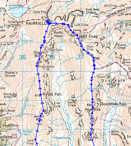
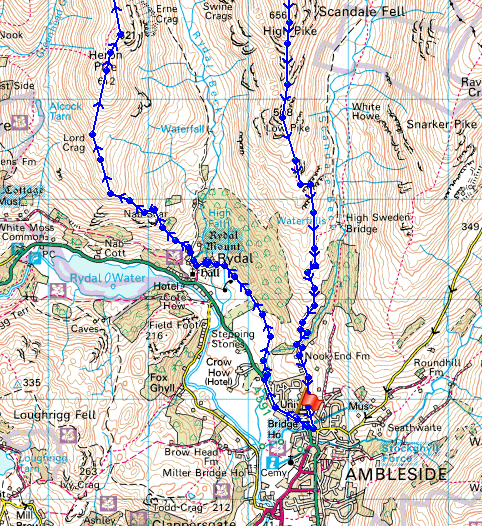
© Crown copyright. All rights reserved. License number PU 100034184.
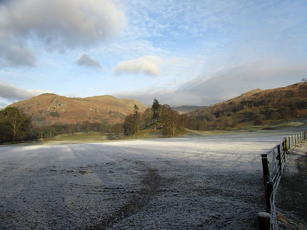
A frosty start walking through Rydal Park
The first half of the route. Nab Scar, Heron Pike, Erne Crag, Great Rigg and Fairfield.
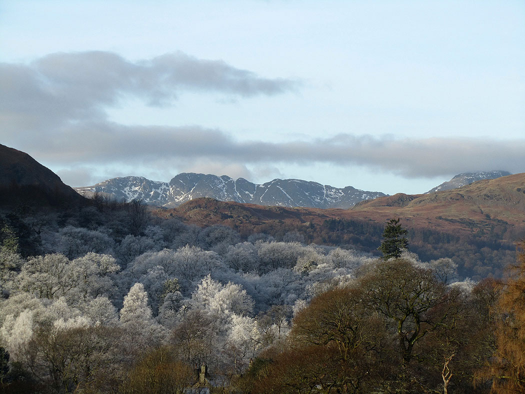
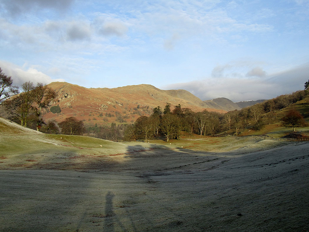
Crinkle Crags above frost covered trees
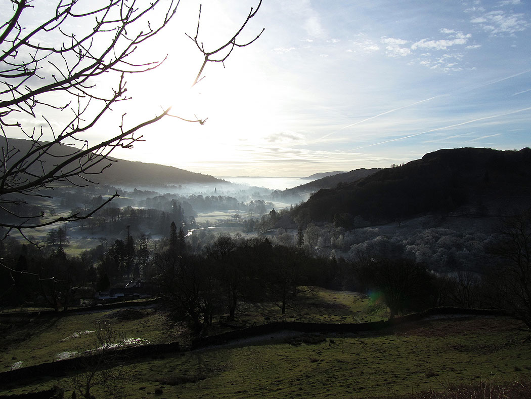
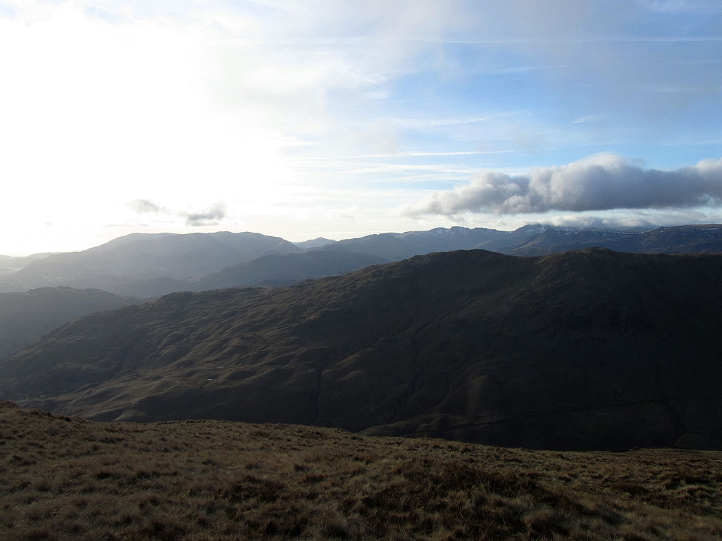
Mist covered Windermere
Ascending Nab Scar. The Coniston fells, Crinkle Crags and Bowfell come into view.
Mist on Windermere
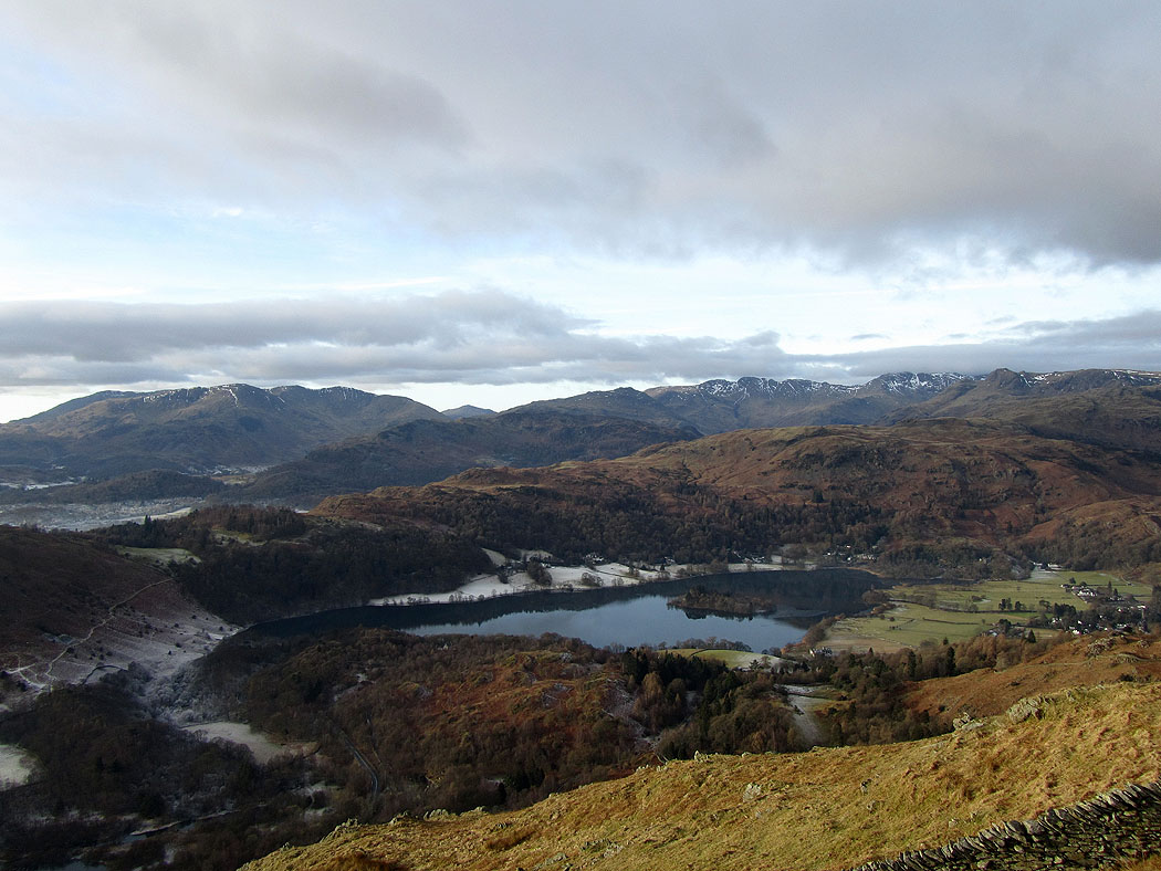
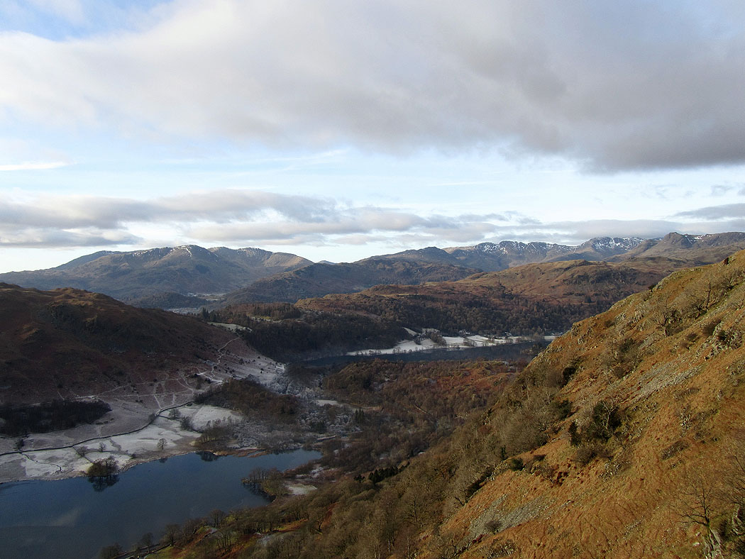
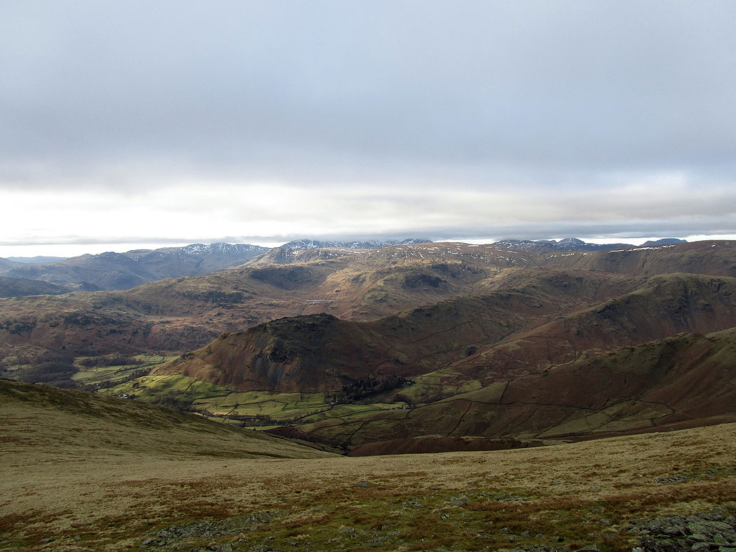
The view from Nab Scar. The Coniston fells, Crinkle Crags and Bowfell in the background. The stretch of water is Grasmere.
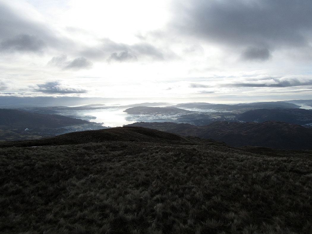
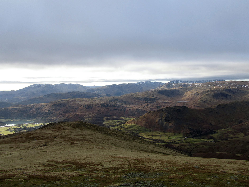
Windermere from Heron Pike
The route ahead towards Great Rigg and Fairfield
The view on the way to Great Rigg
On the summit of Great Rigg. Lots of fells in this picture. The rocky top of Helm Crag stands out front of centre.
A slightly different view in this one. The ground sloping away in front ends in the rocky top of Stone Arthur.
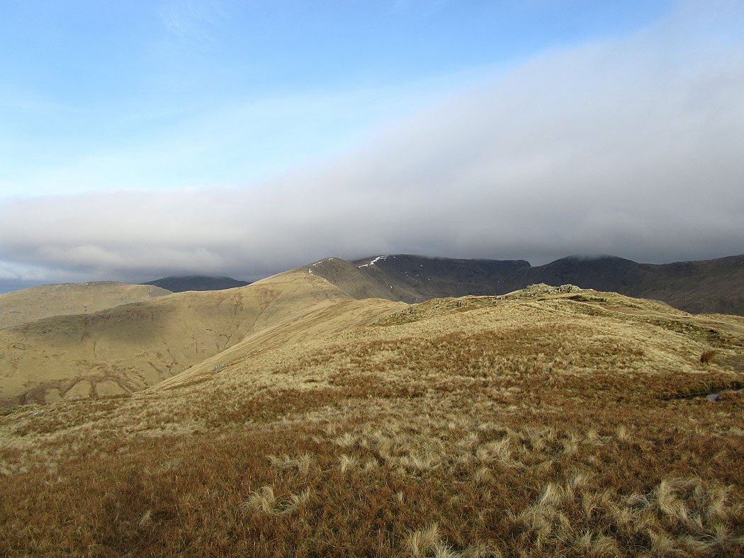
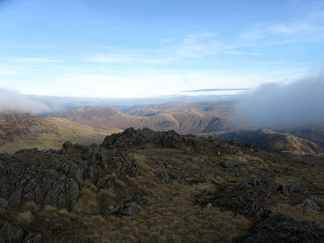
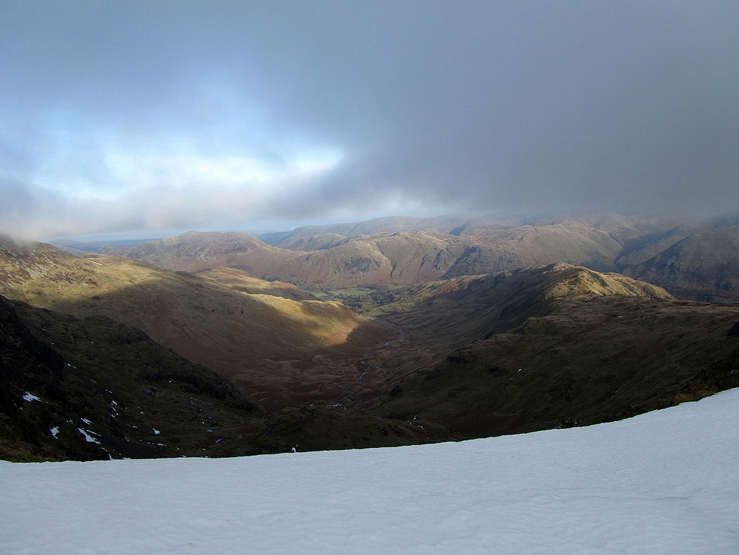
A view back along the ridge to Heron Pike. The climb onto Fairfield took me up into the cloud. No views from there today.
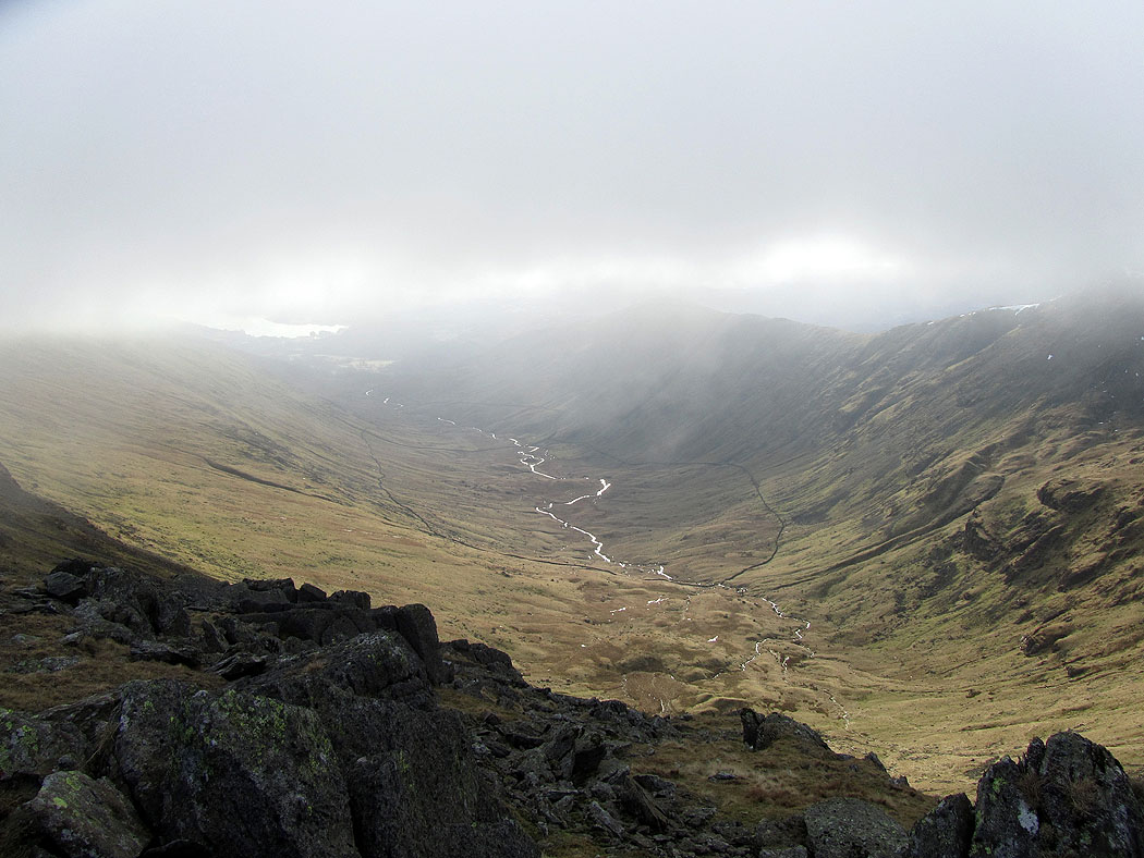
The clouds parted briefly on the way to Hart Crag allowing this view towards the fells around Patterdale
Rydal below
On route to Hart Crag and another brief glimpse into Deepdale
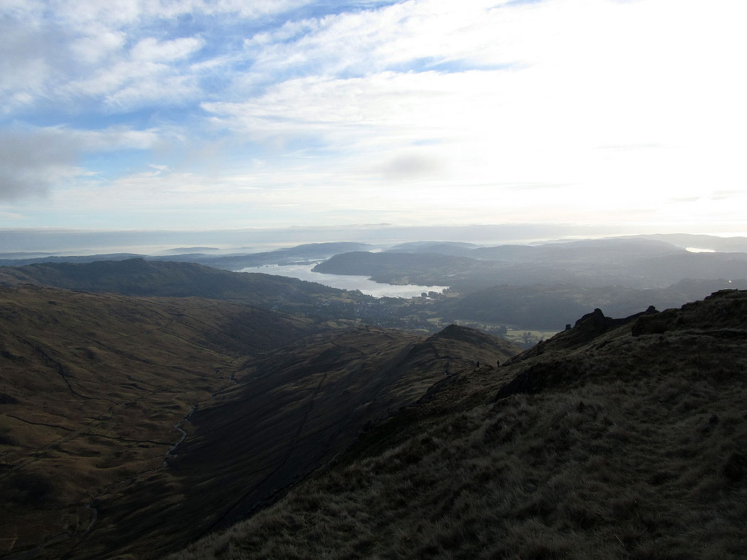
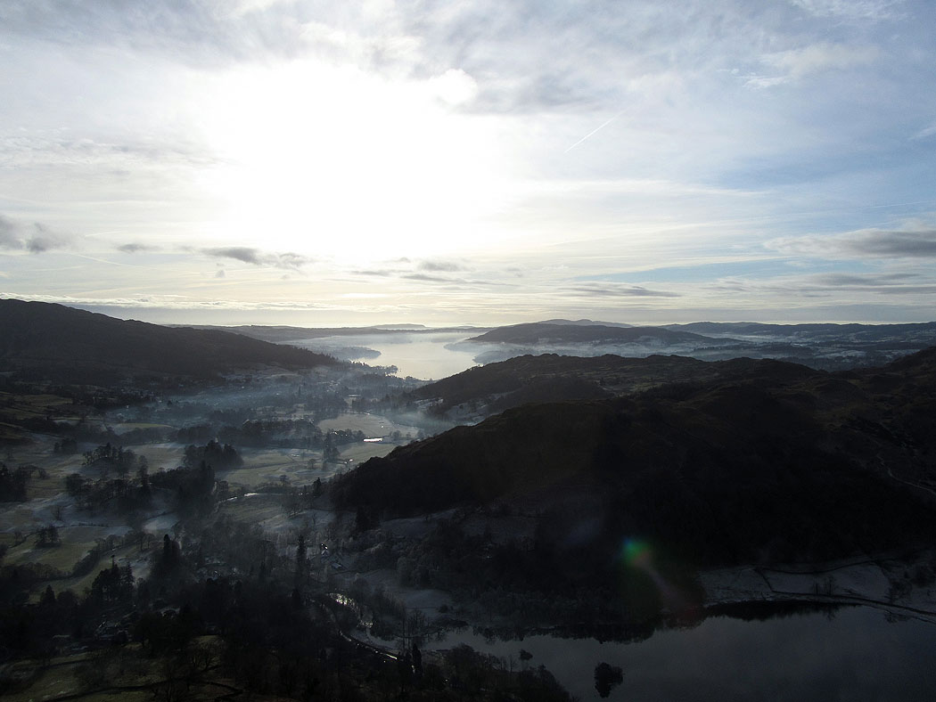
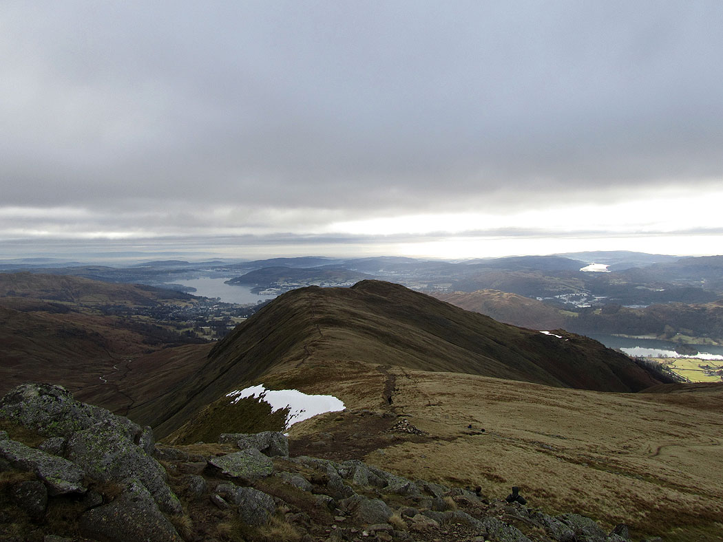
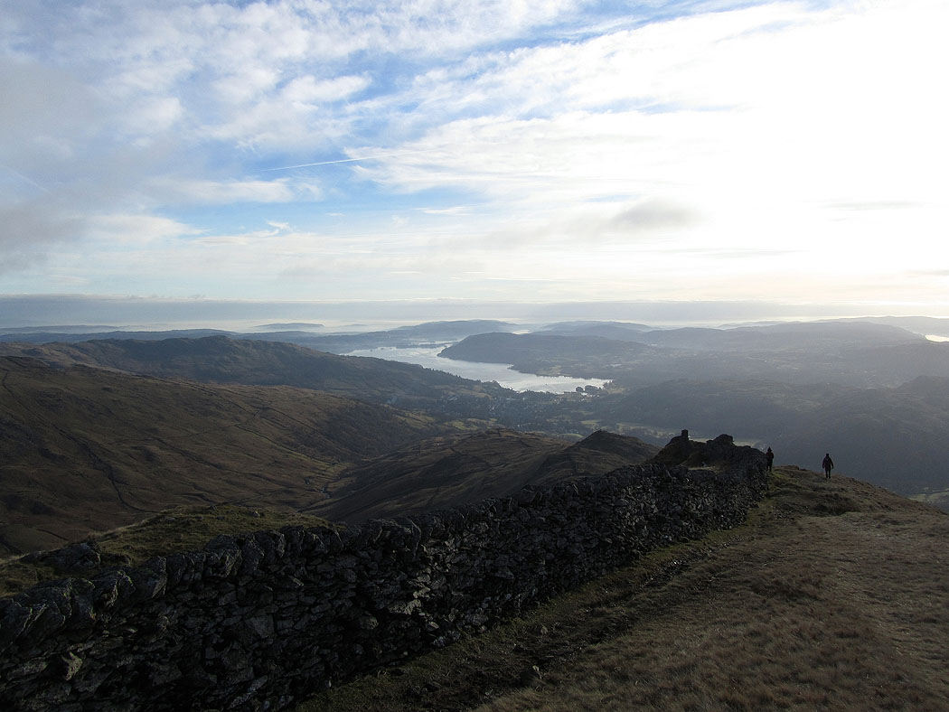
Windermere from High Pike
Little Hart Crag and the Scandale Pass from High Pike
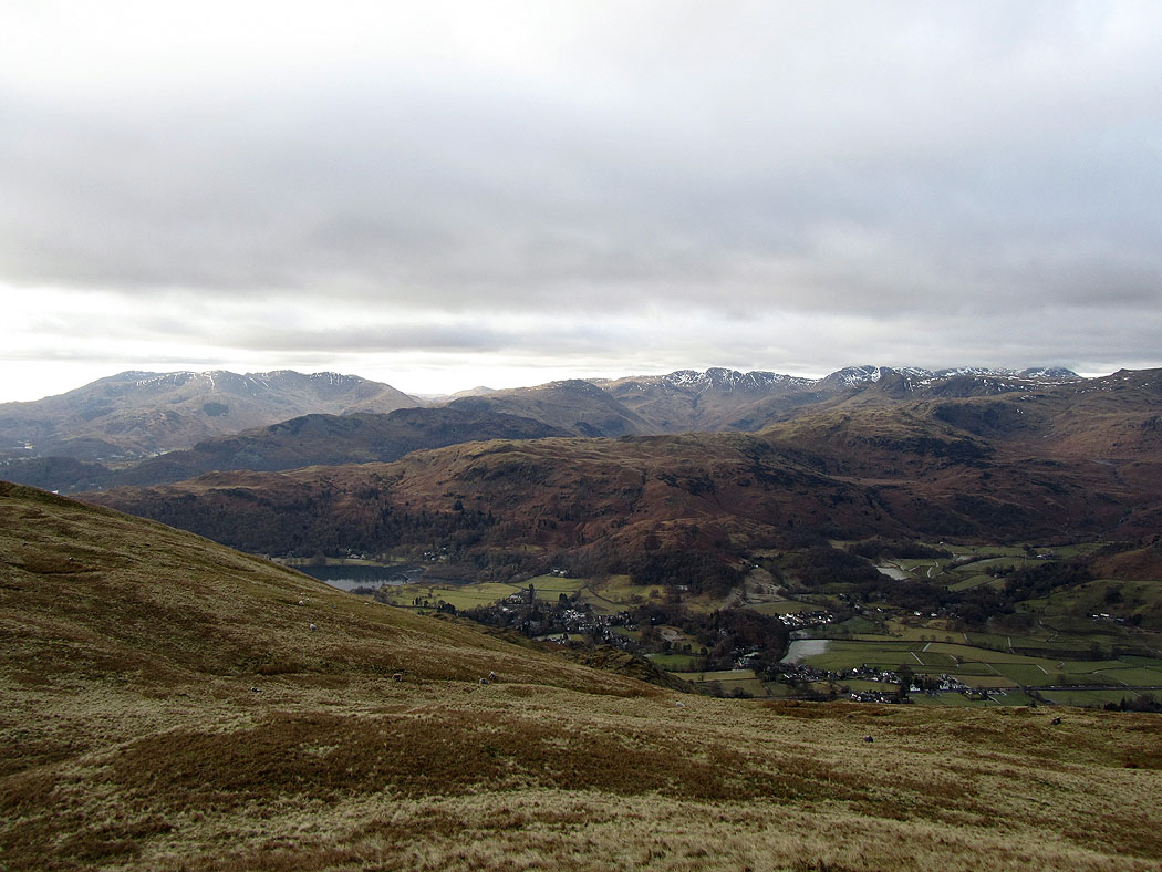
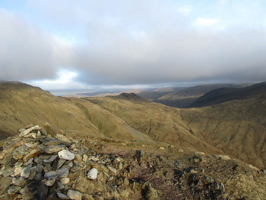
The view west from High Pike. The route up is on the opposite side of Rydal, Nab Scar and Heron Pike.
Descending from High Pike
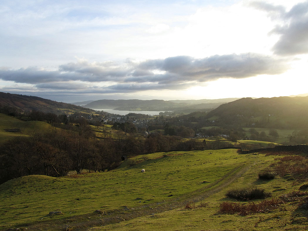
The final descent to Low Sweden Bridge and Ambleside