22nd July 2017 - Pendle Hill
Walk Details
Distance walked: 7.0 miles
Total ascent: 1012 ft
OS map used: OL41 - Forest of Bowland & Ribblesdale
Time taken: 3.5 hrs
Route description: Nick of Pendle-Pendleton Moor-Mearley Moor-Scout Cairn-Downham Moor-Pendle Hill-Ogden Clough-Pendleton Moor-Nick of Pendle
Not the best of weather is forecast for this weekend and it wasn't until midday that I set off on this walk up Pendle Hill as it took a while for it to start to brighten up following overnight and morning rain. It had been three months since I'd last set foot on Pendle Hill so another visit was due and it was December 2015 when I last started from the Nick of Pendle so I decided to head for there. The weather continued to improve and it became a lovely summer's afternoon.
From my starting point at one of the laybys on the road across the Nick of Pendle I made my way up onto Pendleton Moor. When the path started to swing across towards Ogden Clough I left it for one across the top of Howcroft Brook and onto Mearley Moor. I then followed the wall north towards the Scout Cairn on the top of Worston Moor, onwards over Downham Moor and to the trig point and summit. My route back was the path down into Ogden Clough, then out of Ogden Clough for the path back down Pendleton Moor to the Nick of Pendle.
Route map
© Crown copyright. All rights reserved. License number PU 100034184.
The bulk of Pendle Hill ahead as I set off from the Nick of Pendle
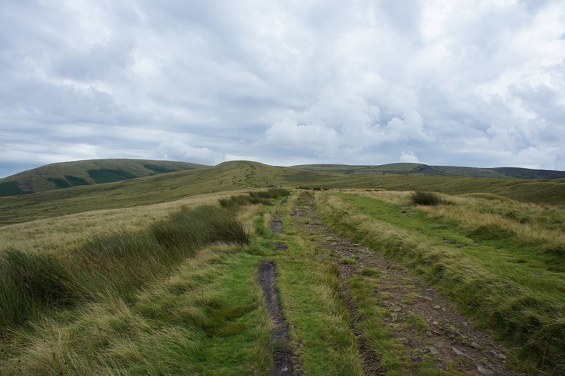
The Ribble Valley from the top of Howcroft Brook
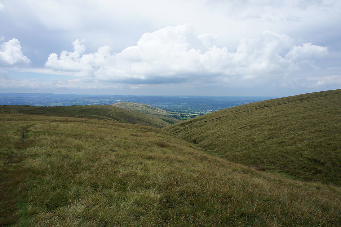
Longridge Fell, Parlick, Fair Snape Fell and Totridge from Mearley Moor

The West Pennine Moors in the distance
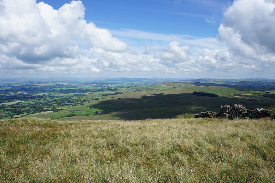
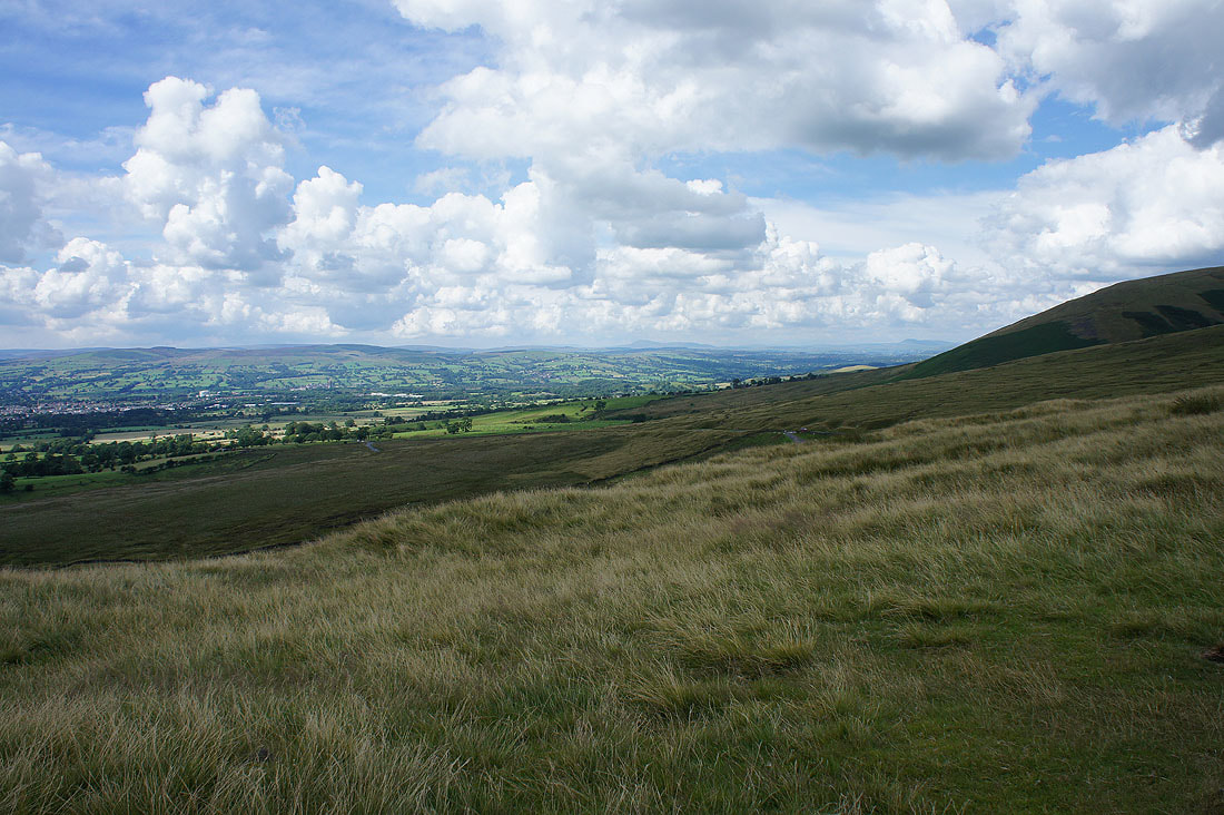
The fells of the Forest of Bowland on the other side of the Ribble Valley
Worston Moor on the left with the top of Pendle Hill on the right
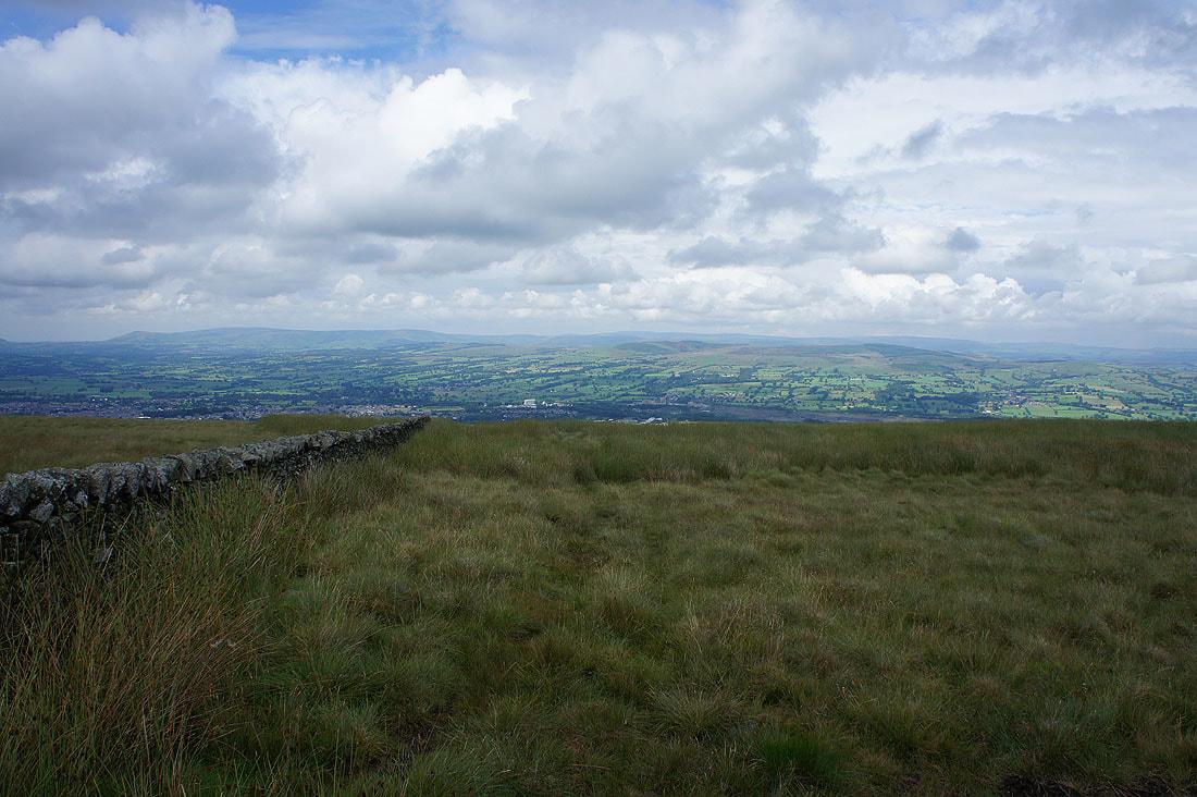
The Ribble Valley from the top of Mearley Brook
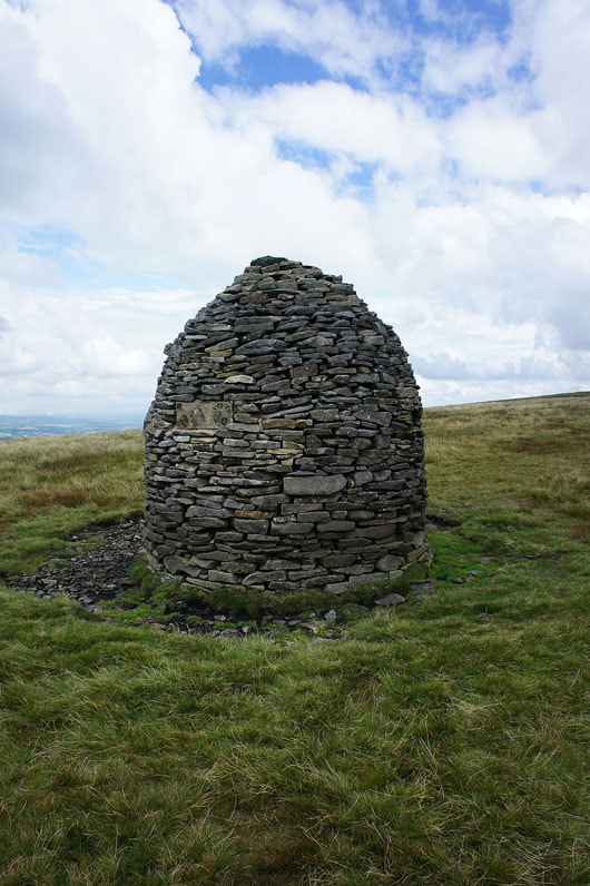
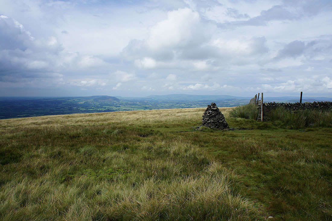
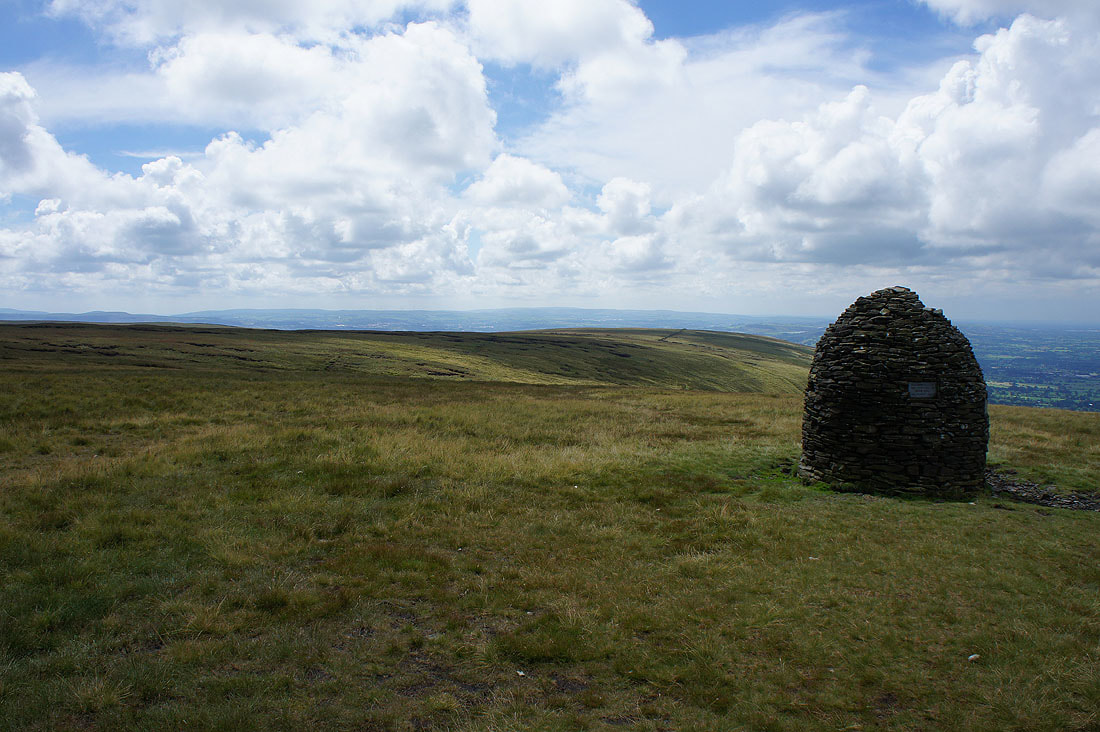
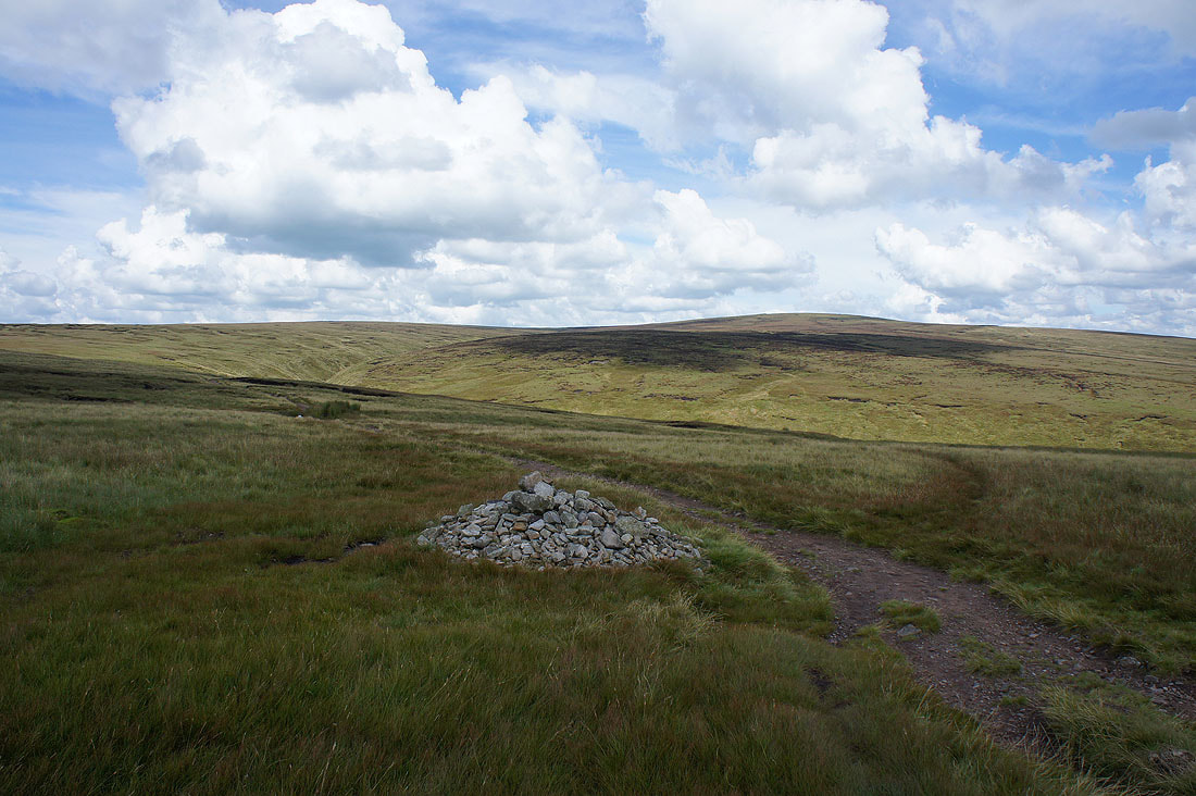
At the Scout Cairn
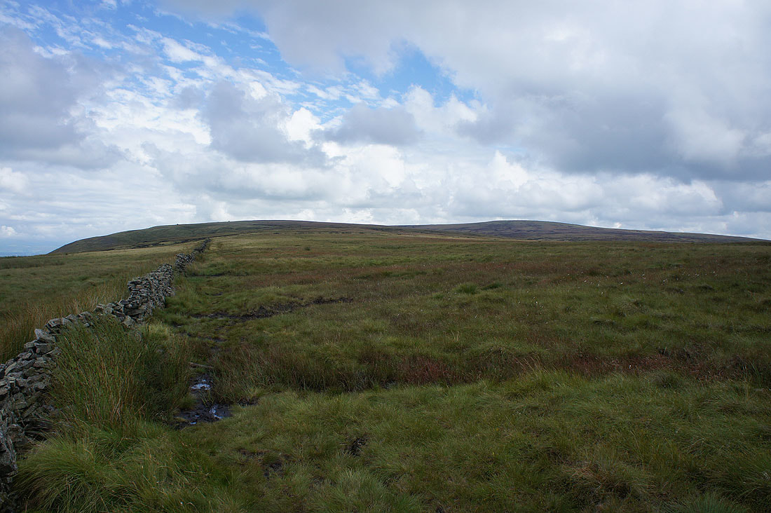
Looking back to Mearley Moor
and across to the Forest of Bowland

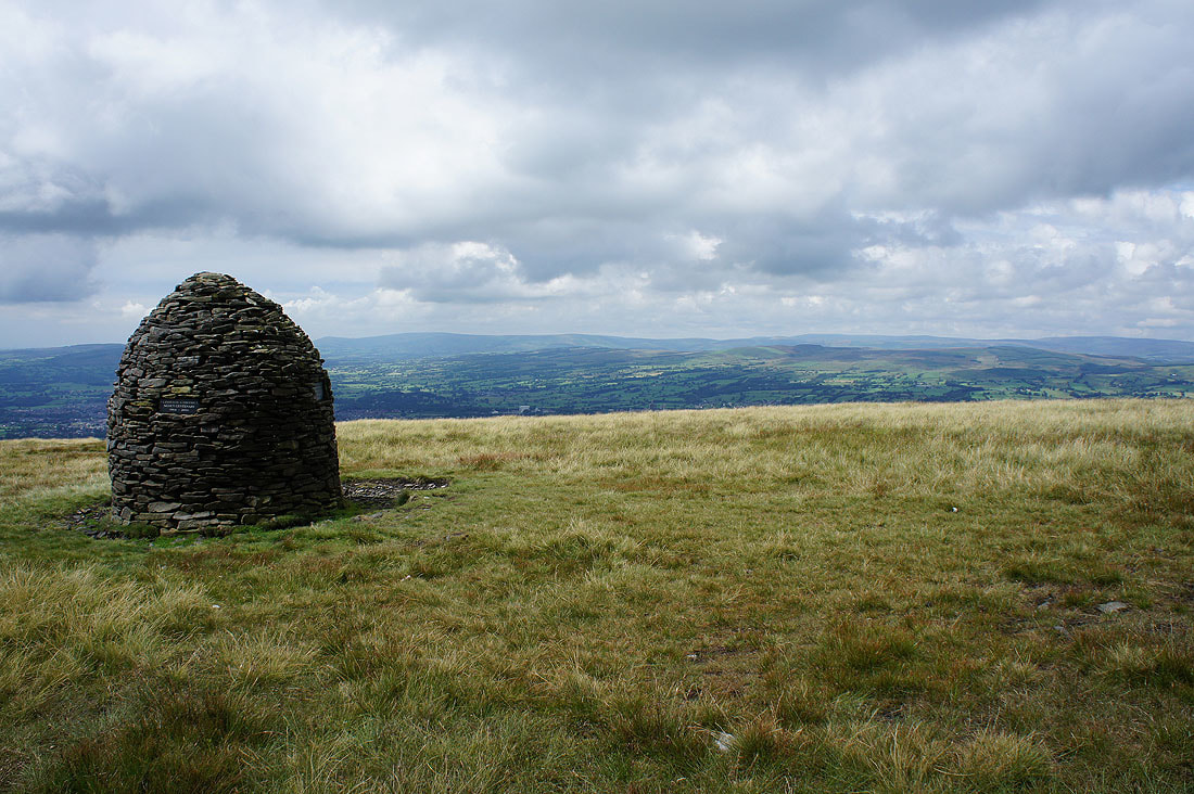
Looking back to the Scout Cairn
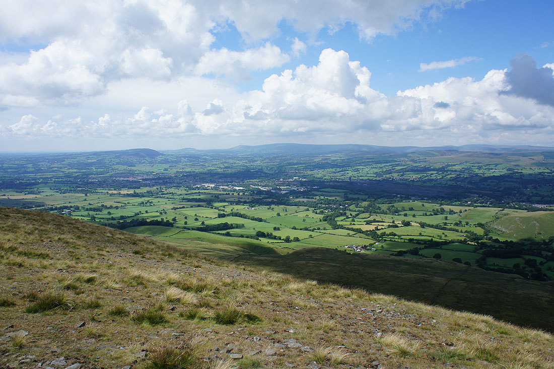
Clitheroe, the Ribble Valley, Longridge Fell, Parlick, Fair Snape Fell and Totridge just before I cross onto Downham Moor
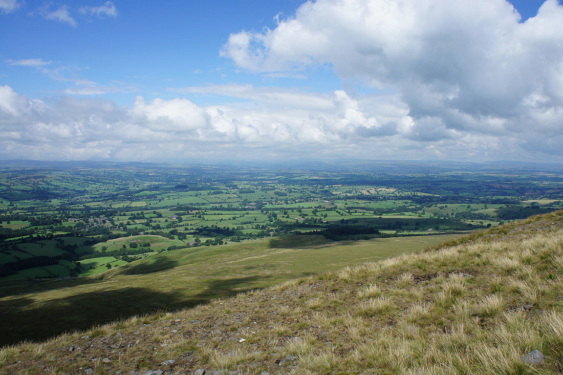
and looking up the Ribble Valley towards the Yorkshire Dales. I could just about make out Penyghent.
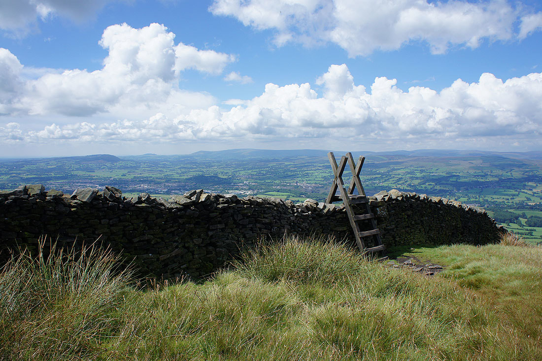
Across the stile and onto Downham Moor
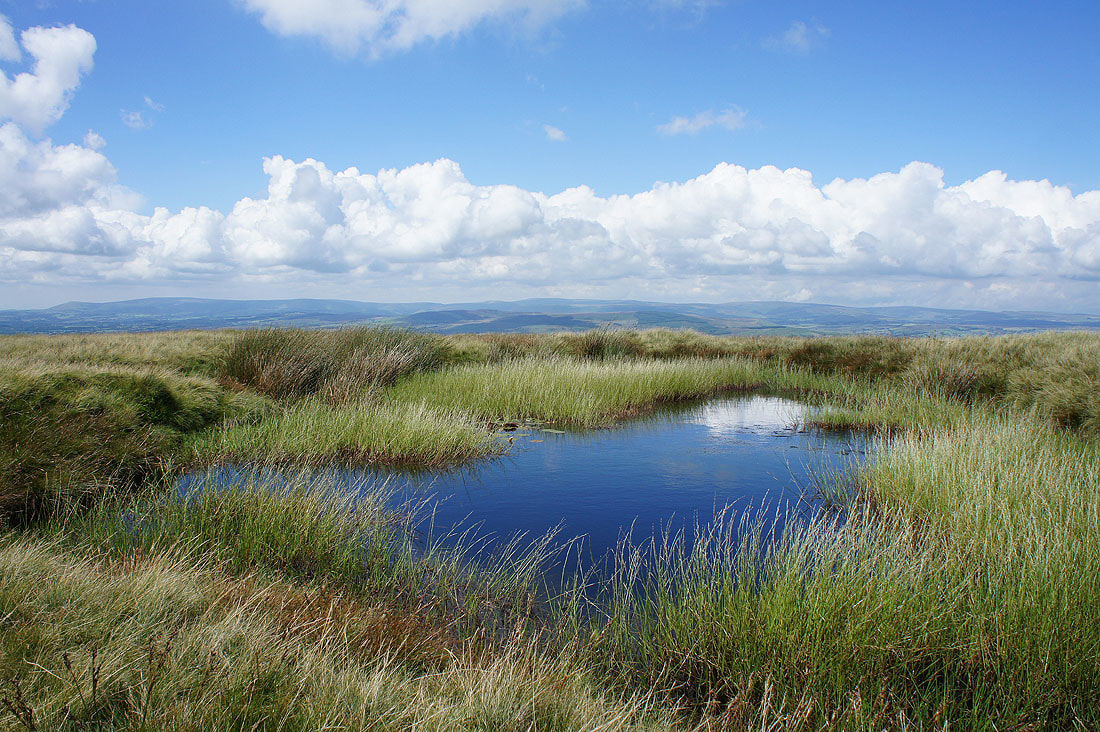
A pool provides a photo opportunity
The hills of the Yorkshire Dales are a bit easier to make out now. Ingleborough is still hidden but I can see Penyghent, Fountains Fell, Buckden Pike and Great Whernside.

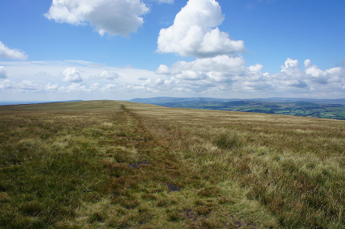
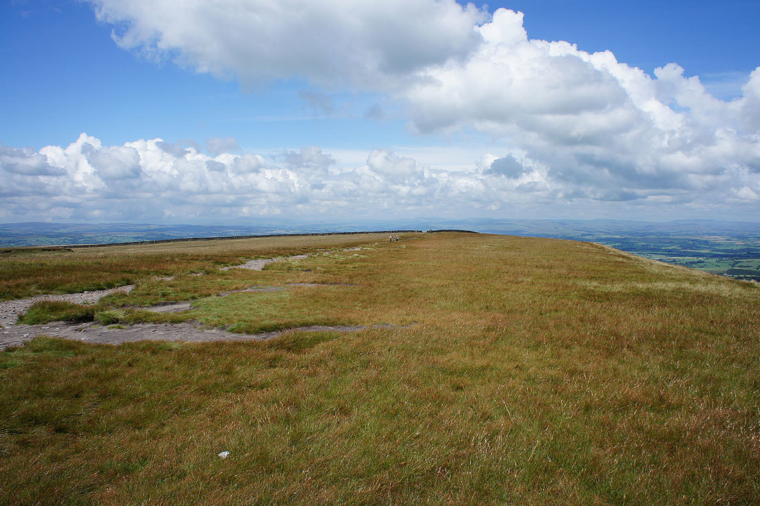
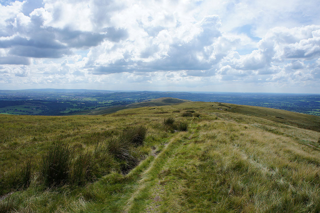
Heading across Downham Moor and towards the summit
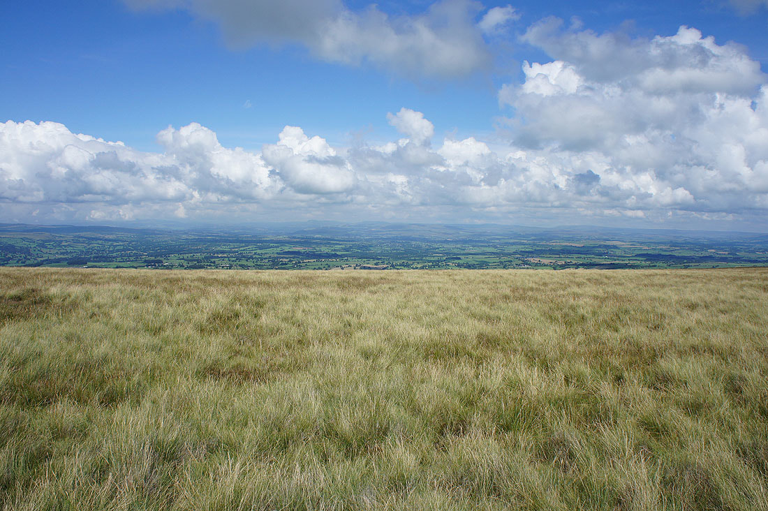
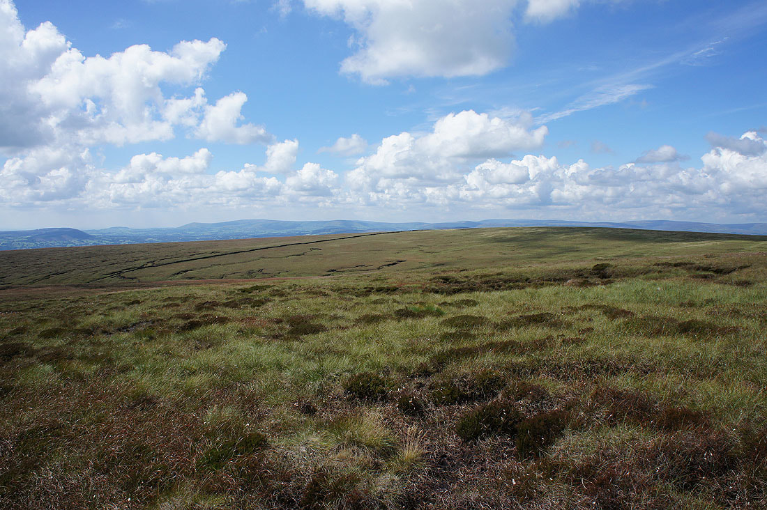
Big skies above Downham Moor
Great Whernside and the hills around Wharfedale in the distance as I reach the eastern end of the hill
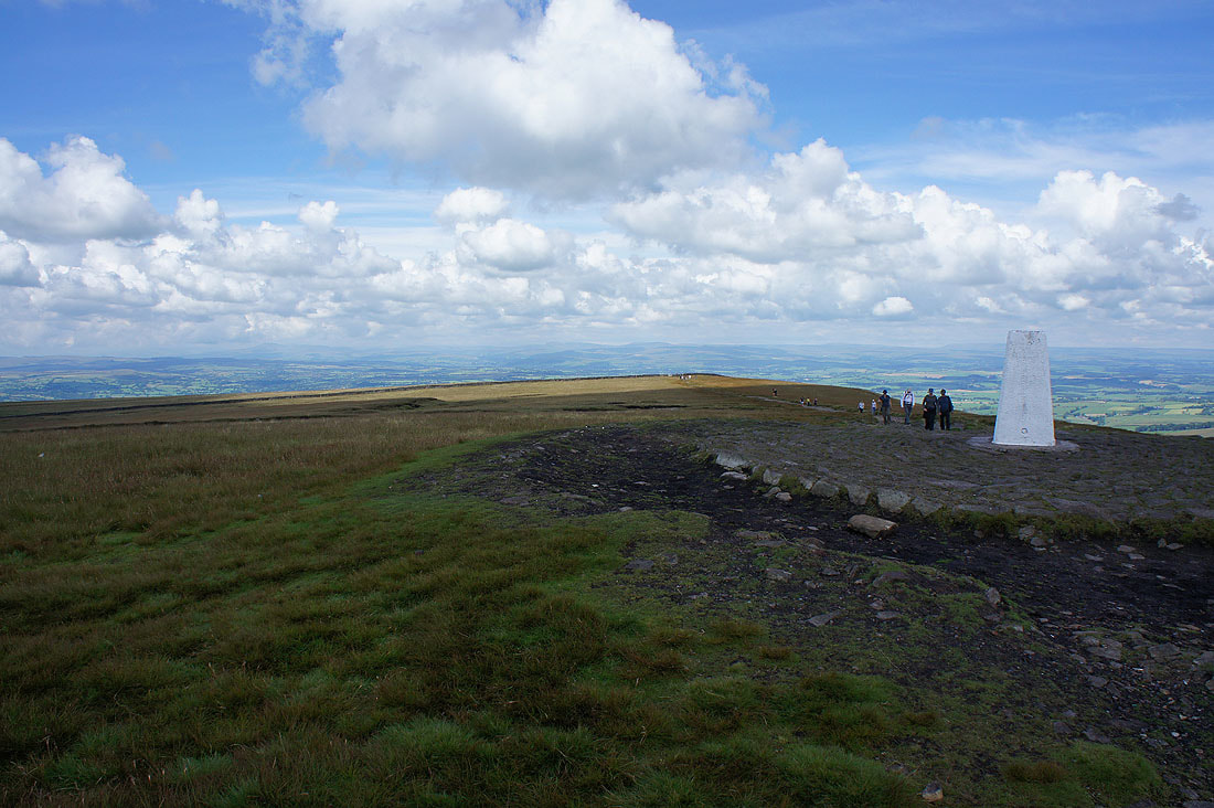
By the trig point on the summit of Pendle Hill
The hills of the Yorkshire Dales in the distance
Twiston Moor, the Black Moss Reservoirs and the moors of the South Pennines
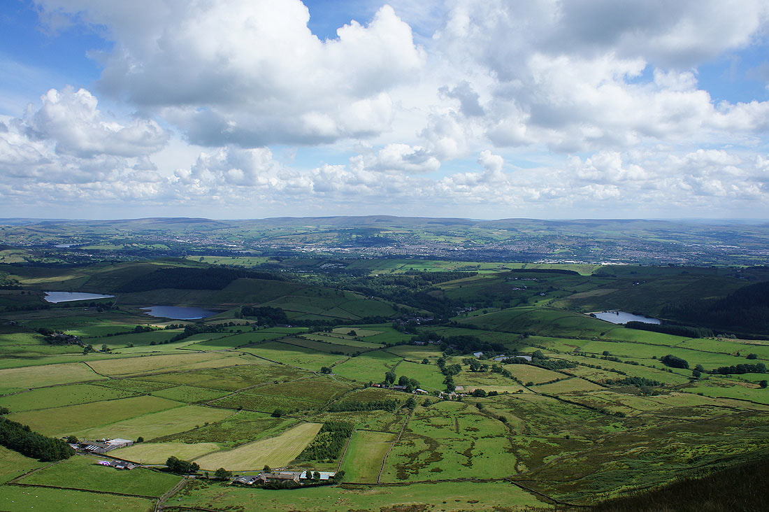
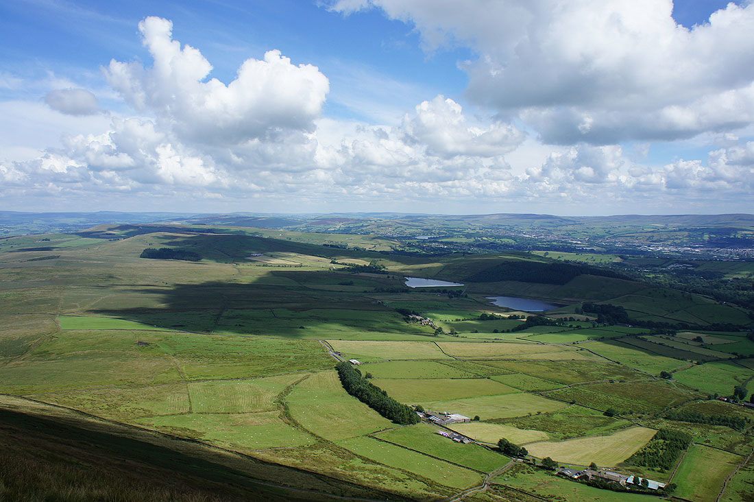
The Black Moss Reservoirs, Barley and Lower Ogden Reservoir with Colne and Boulsworth Hill in the distance
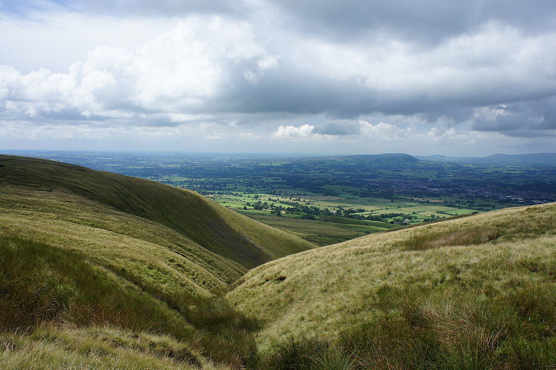
The Ribble Valley ahead of me as I take the path to Ogden Clough
The Forest of Bowland beyond Downham Moor
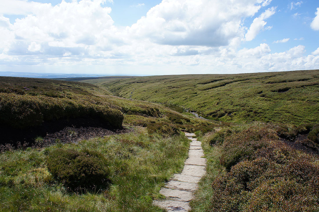
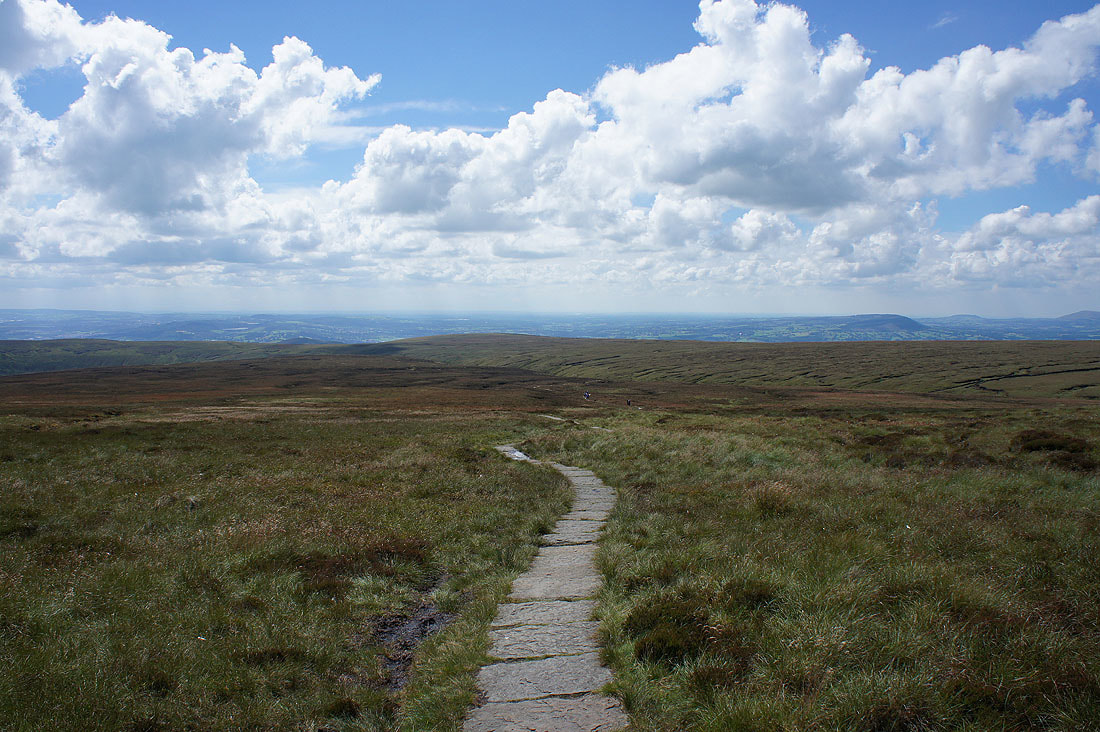
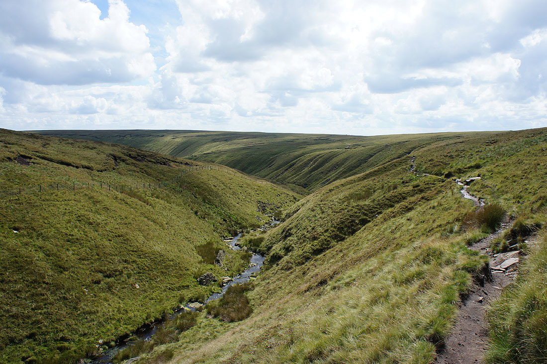
Heading down Ogden Clough..
Looking back to the summit as I leave Ogden Clough to head back to the Nick of Pendle

Summer skies
Heading back to the Nick of Pendle
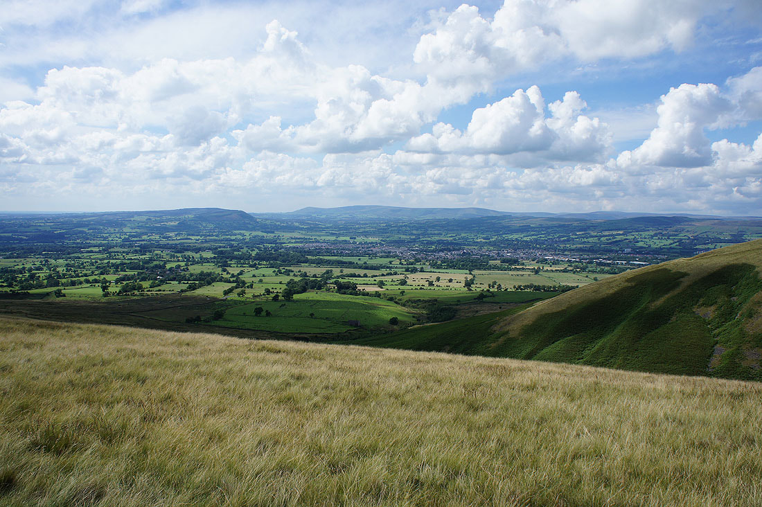
To my right I have great views across the Ribble Valley to the Forest of Bowland..
..and to Ingleborough and Penyghent in the Yorkshire Dales