22nd July 2018 - Pendle Hill
Walk Details
Distance walked: 7.0 miles
Total ascent: 1012 ft
OS map used: OL41 - Forest of Bowland & Ribblesdale
Time taken: 3.5 hrs
Route description: Nick of Pendle-Pendleton Moor-Mearley Moor-Scout Cairn-Worston Moor-Downham Moor-Pendle Hill-Ogden Clough-Pendleton Moor-Nick of Pendle
I nearly had a weekend without going for a walk somewhere until Pendle Hill saved the day. It was 2 o'clock in the afternoon before I set off from the Nick of Pendle though. A very grey and murky morning with cloud sitting low on the hills was showing signs of improvement by lunchtime so I took a chance that it would continue to get better. It did, slowly. The best weather of the day was as I was heading back down to the Nick of Pendle at the end of the afternoon. When the sun finally started to break through the cloud it felt warm and very humid.
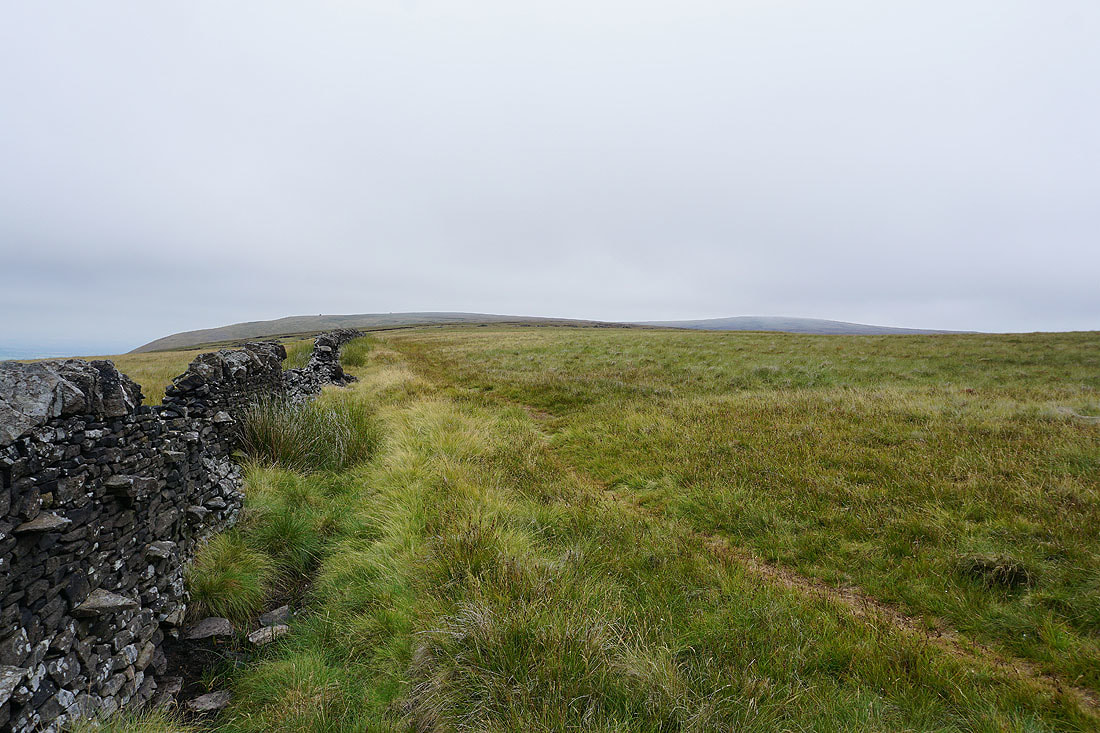
From my starting point at one of the laybys on the road across the Nick of Pendle I made my way up onto Pendleton Moor. When the path started to swing across towards Ogden Clough I left it for one across the top of Howcroft Brook and onto Mearley Moor. I then followed the wall north towards the Scout Cairn on the top of Worston Moor, onwards over Downham Moor and to the trig point and summit. My route back was the path down into Ogden Clough, then out of Ogden Clough for the path back down Pendleton Moor (with a detour to Deerstones) to the Nick of Pendle.
Total ascent: 1012 ft
OS map used: OL41 - Forest of Bowland & Ribblesdale
Time taken: 3.5 hrs
Route description: Nick of Pendle-Pendleton Moor-Mearley Moor-Scout Cairn-Worston Moor-Downham Moor-Pendle Hill-Ogden Clough-Pendleton Moor-Nick of Pendle
I nearly had a weekend without going for a walk somewhere until Pendle Hill saved the day. It was 2 o'clock in the afternoon before I set off from the Nick of Pendle though. A very grey and murky morning with cloud sitting low on the hills was showing signs of improvement by lunchtime so I took a chance that it would continue to get better. It did, slowly. The best weather of the day was as I was heading back down to the Nick of Pendle at the end of the afternoon. When the sun finally started to break through the cloud it felt warm and very humid.
From my starting point at one of the laybys on the road across the Nick of Pendle I made my way up onto Pendleton Moor. When the path started to swing across towards Ogden Clough I left it for one across the top of Howcroft Brook and onto Mearley Moor. I then followed the wall north towards the Scout Cairn on the top of Worston Moor, onwards over Downham Moor and to the trig point and summit. My route back was the path down into Ogden Clough, then out of Ogden Clough for the path back down Pendleton Moor (with a detour to Deerstones) to the Nick of Pendle.
Route map
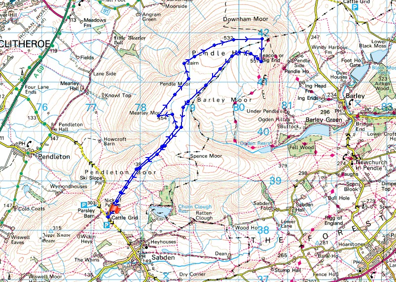
© Crown copyright. All rights reserved. License number PU 100034184.
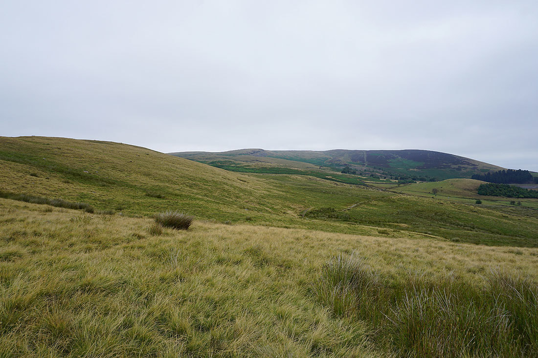
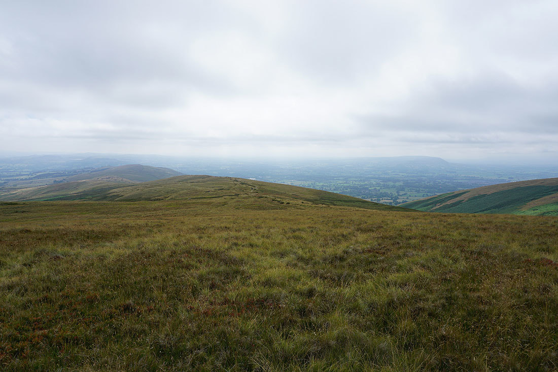
Grey and murky Deerstones and Spence Moor as I set off from the Nick of Pendle
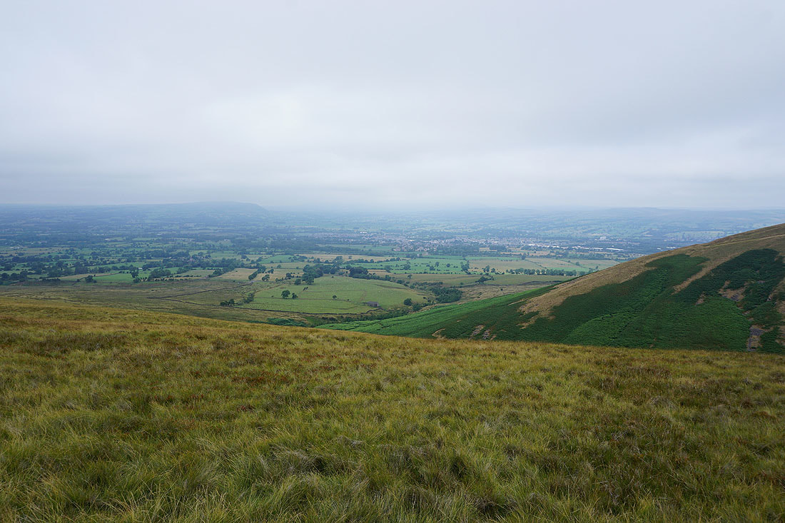
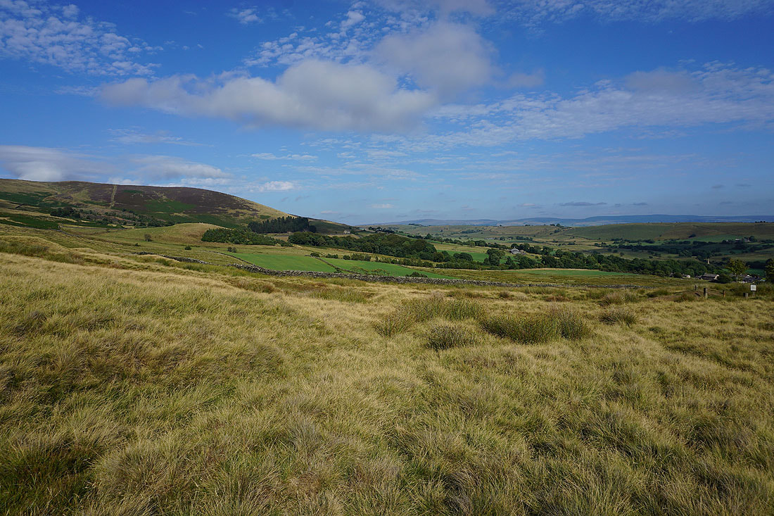
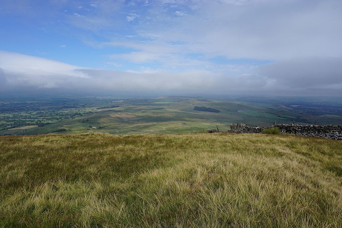
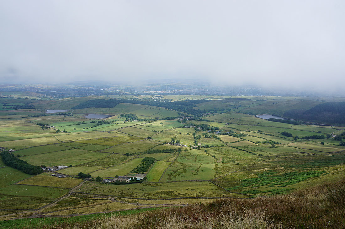
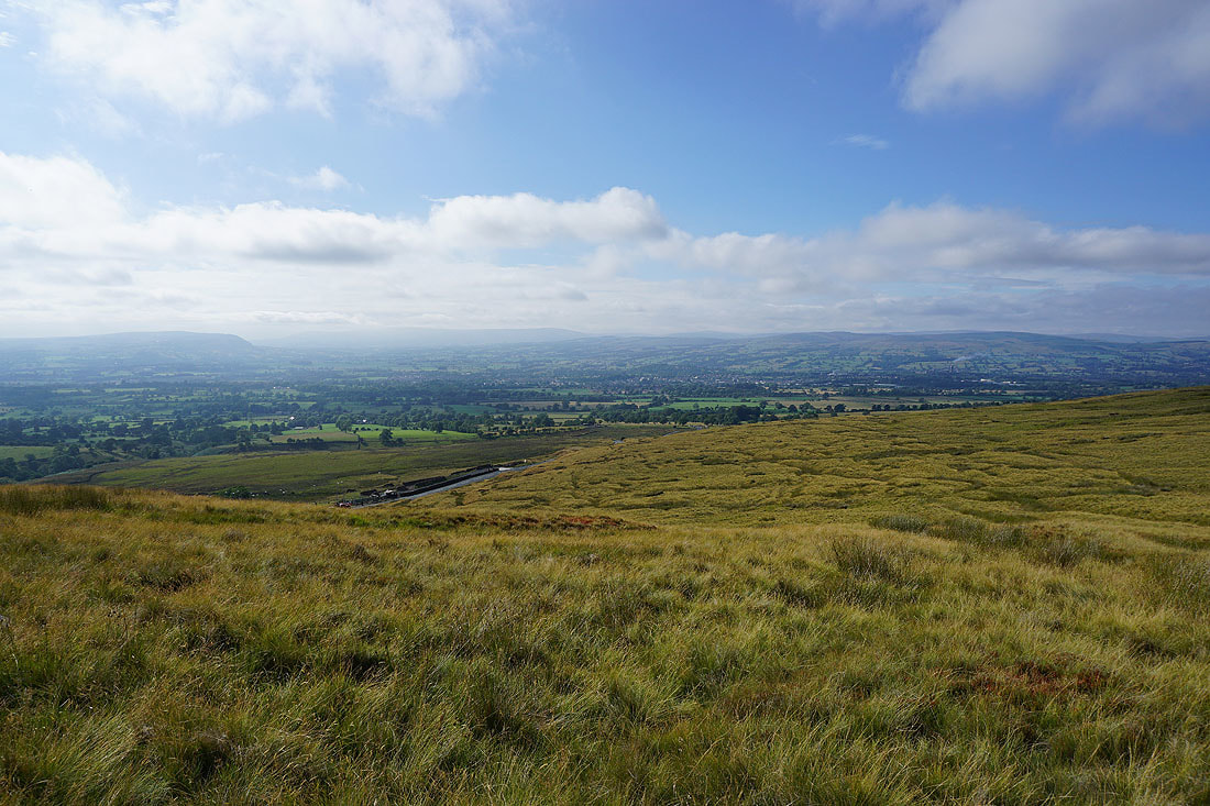
Longridge Fell, Clitheroe and the Ribble Valley
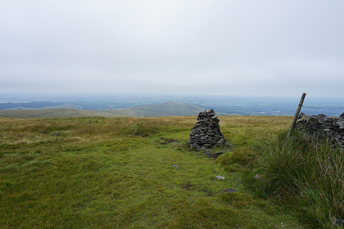
At the cairn on Mearley Moor
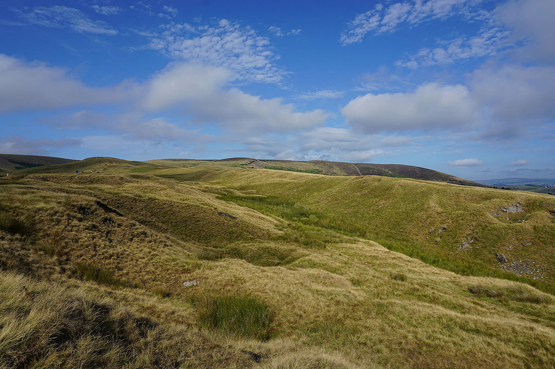
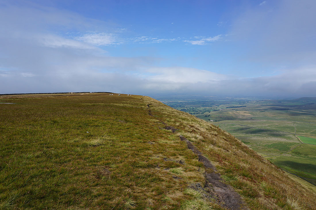
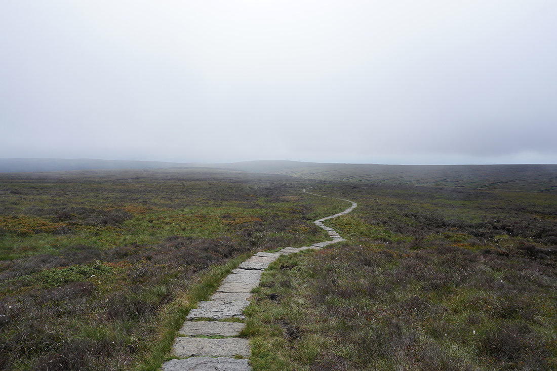
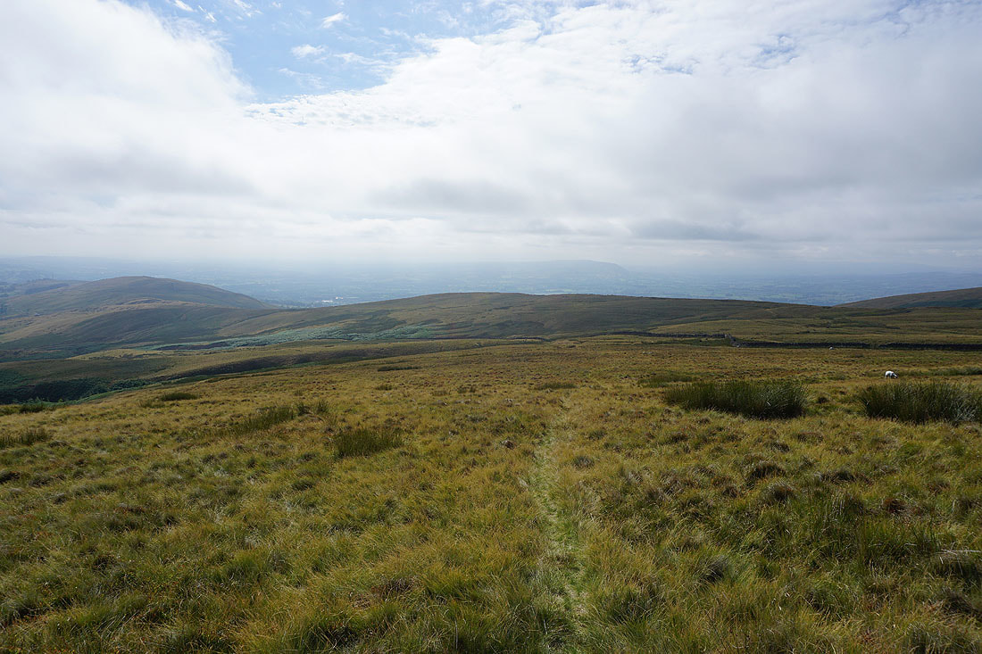
The way ahead to Worston Moor with the summit on the right. Free of cloud at the moment.
Mearley Moor from the Scout Cairn

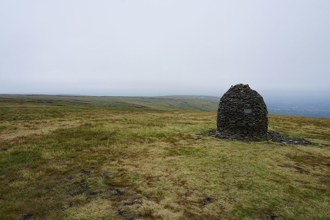
The nearby circular shelter was a convenient place to stop for a break
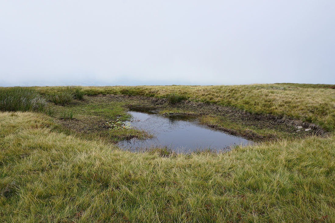
This is the lowest that ever seen this pool on Downham Moor
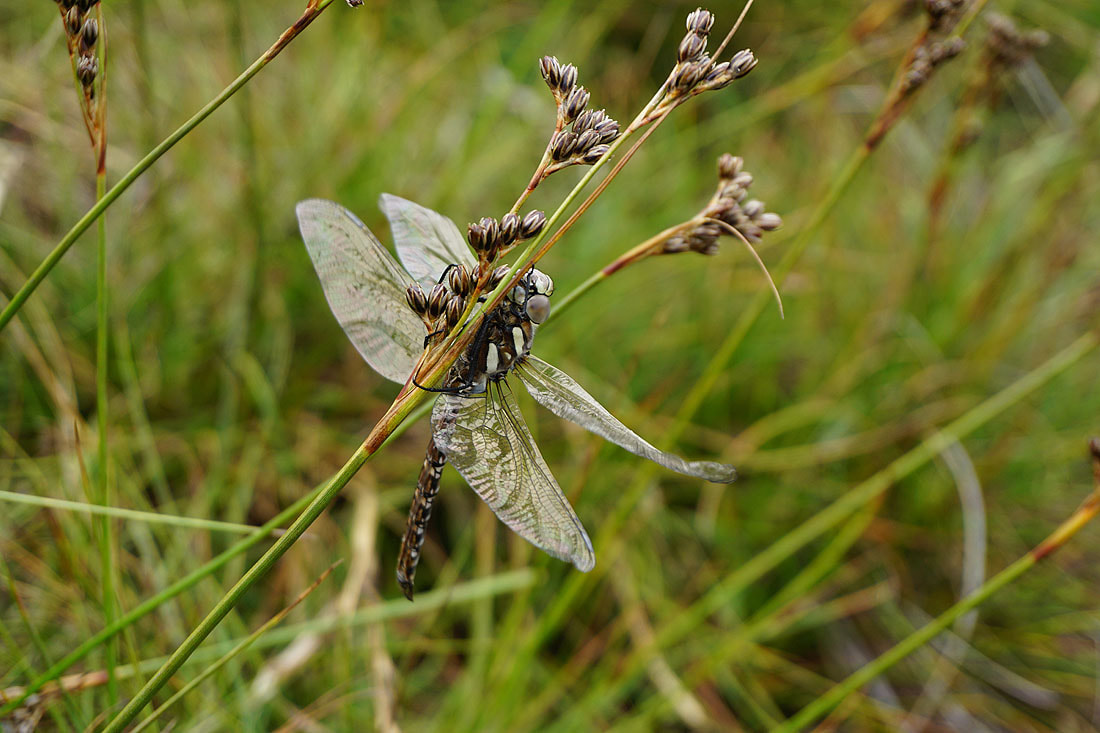
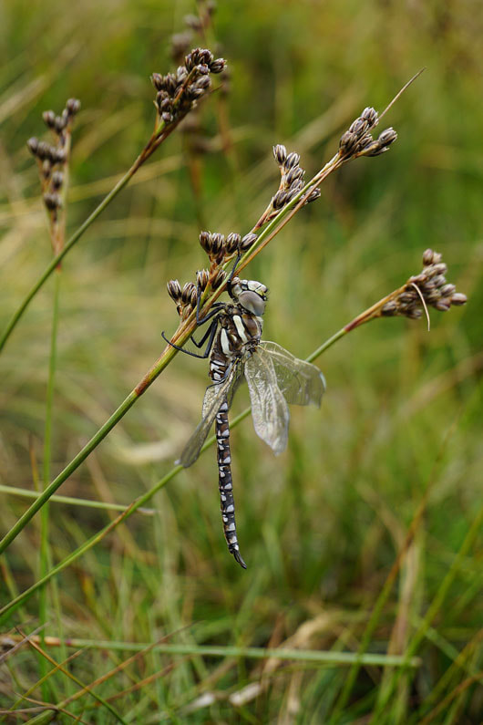
I was lucky to spot this dragonfly while I was by the pool and even luckier to have managed to take some photos of it..
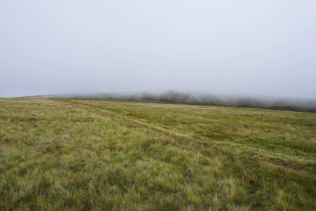
Low cloud obscures the summit from Downham Moor
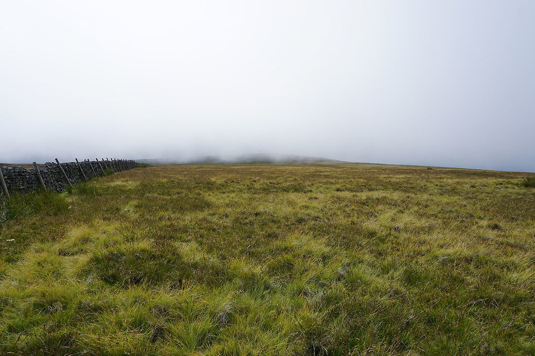
I've reached the eastern end of Downham Moor and it seems to be brightening up
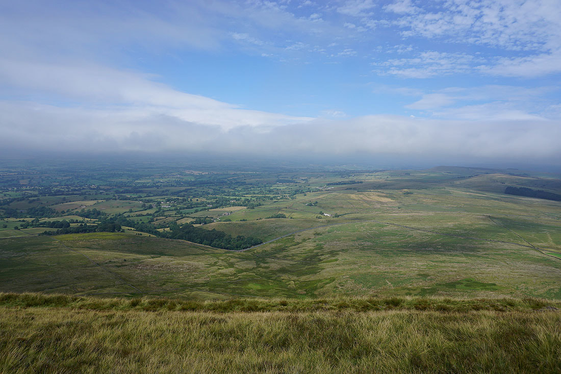
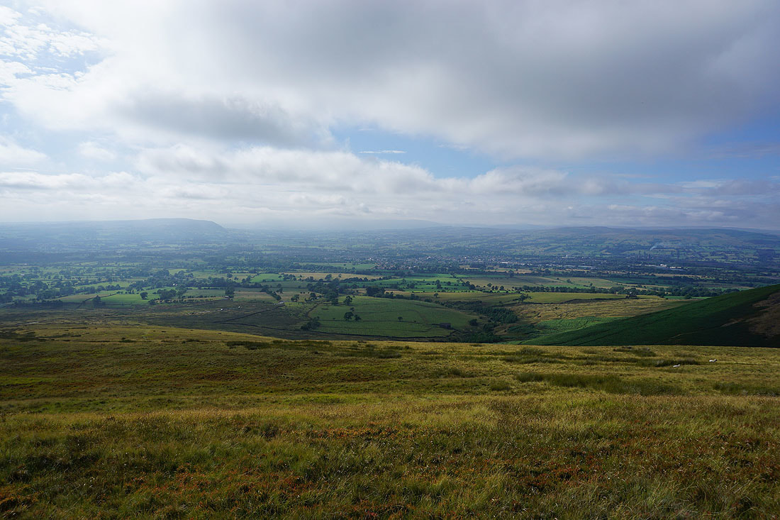
The cloud has broken up as I look to the northeast up the Ribble Valley and across to Weets Hill..
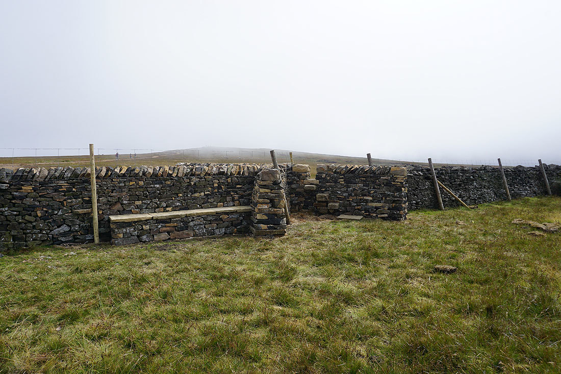
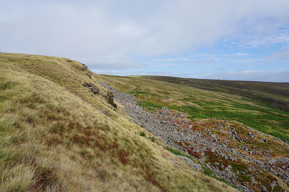
The summit furniture has been rearranged. The ladder stile has gone, there's a gate in its place, and seating and a stile have been built into the wall.
A break in the clouds on the eastern edge of the summit
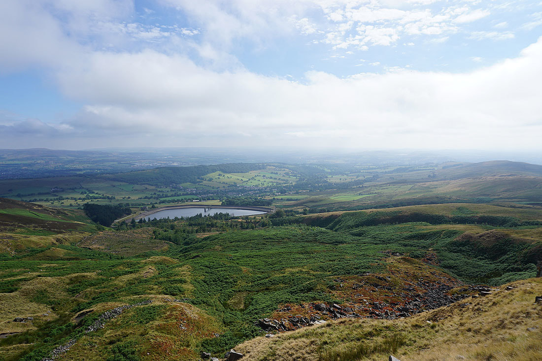
The Black Moss Reservoirs, Barley and Lower Ogden Reservoir
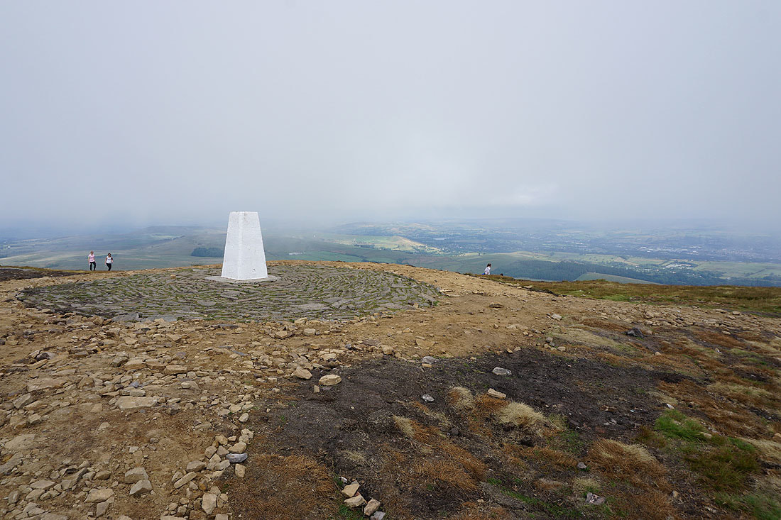
At the trig point on the summit of Pendle Hill. The bare and eroded peat around it has been covered up to prevent further erosion.
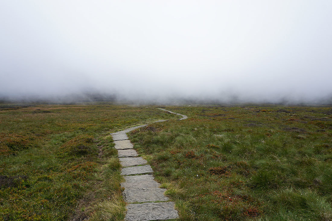
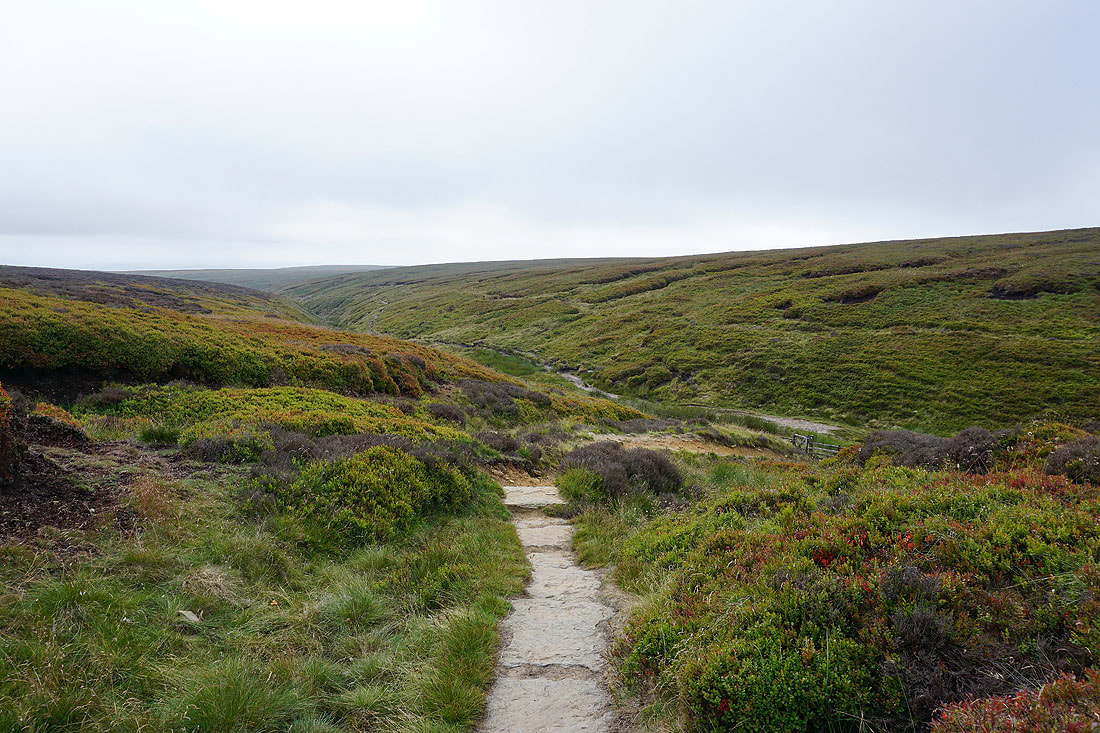
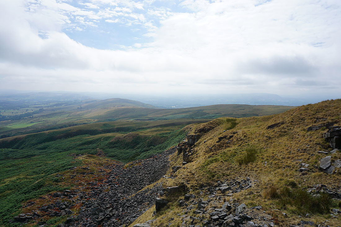
The cloud comes and goes as I follow the path down into Ogden Clough....
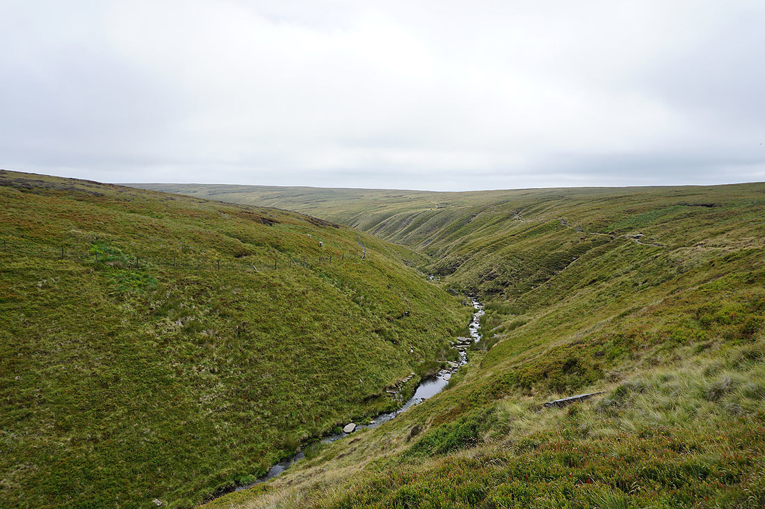
Looking back to the summit as I leave Ogden Clough for the path to the Nick of Pendle
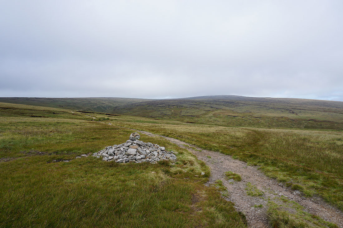
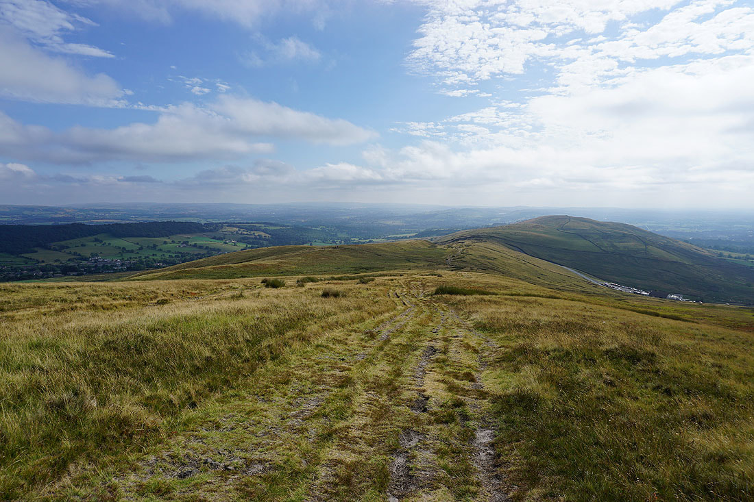
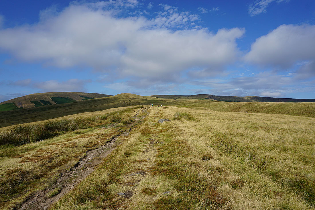
Heading for Pendleton Moor and the Nick of Pendle
But first, a short detour to the crags of Deerstones
It would appear that I now have the best weather of the day as the cloud continues to thin and break. Looking across Churn Clough Reservoir to Sabden, the valley of Sabden Brook and the Nick of Pendle..
There's a beautiful light on the hillside as I head back to the path to the Nick of Pendle..
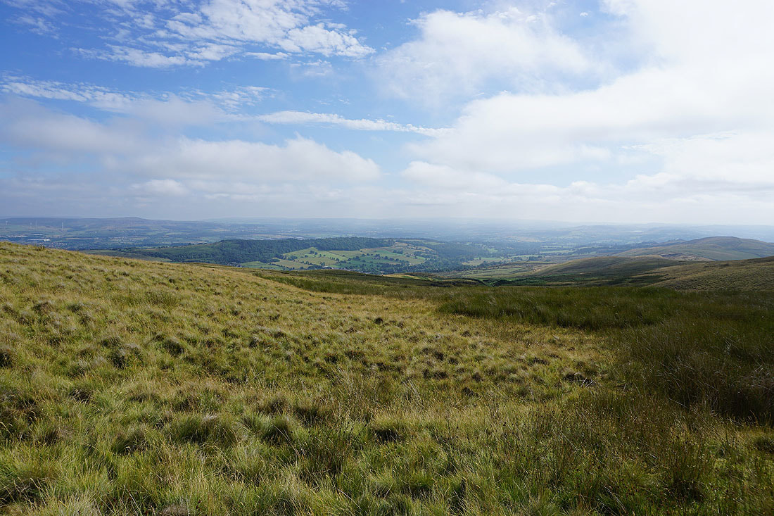
Longridge Fell, Clitheroe and the Ribble Valley
and I can now make out the West Pennine Moors in the distance
More of the Forest of Bowland appears as the cloud evaporates away
Back at the Nick of Pendle. There's a great looking sky and light on the fells to finish with...